Antique Maps of Herefordshire
Richard Nicholson of Chester
A World of Antique Maps and Prints
Established in 1961
All the Maps on this page are guaranteed to be genuine early specimens
published in or around the year stated
19th Century - Early Hand Colouring
-

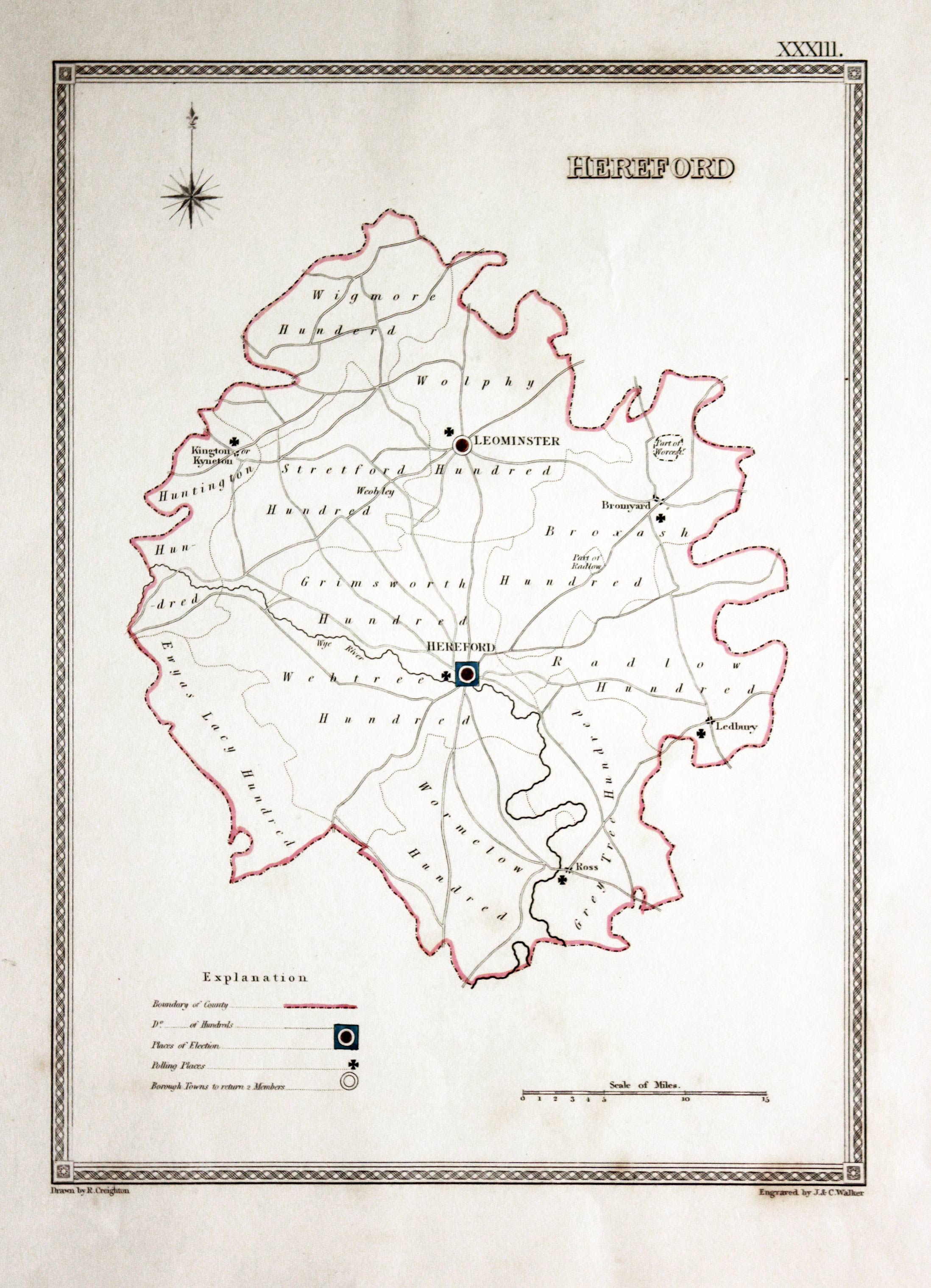
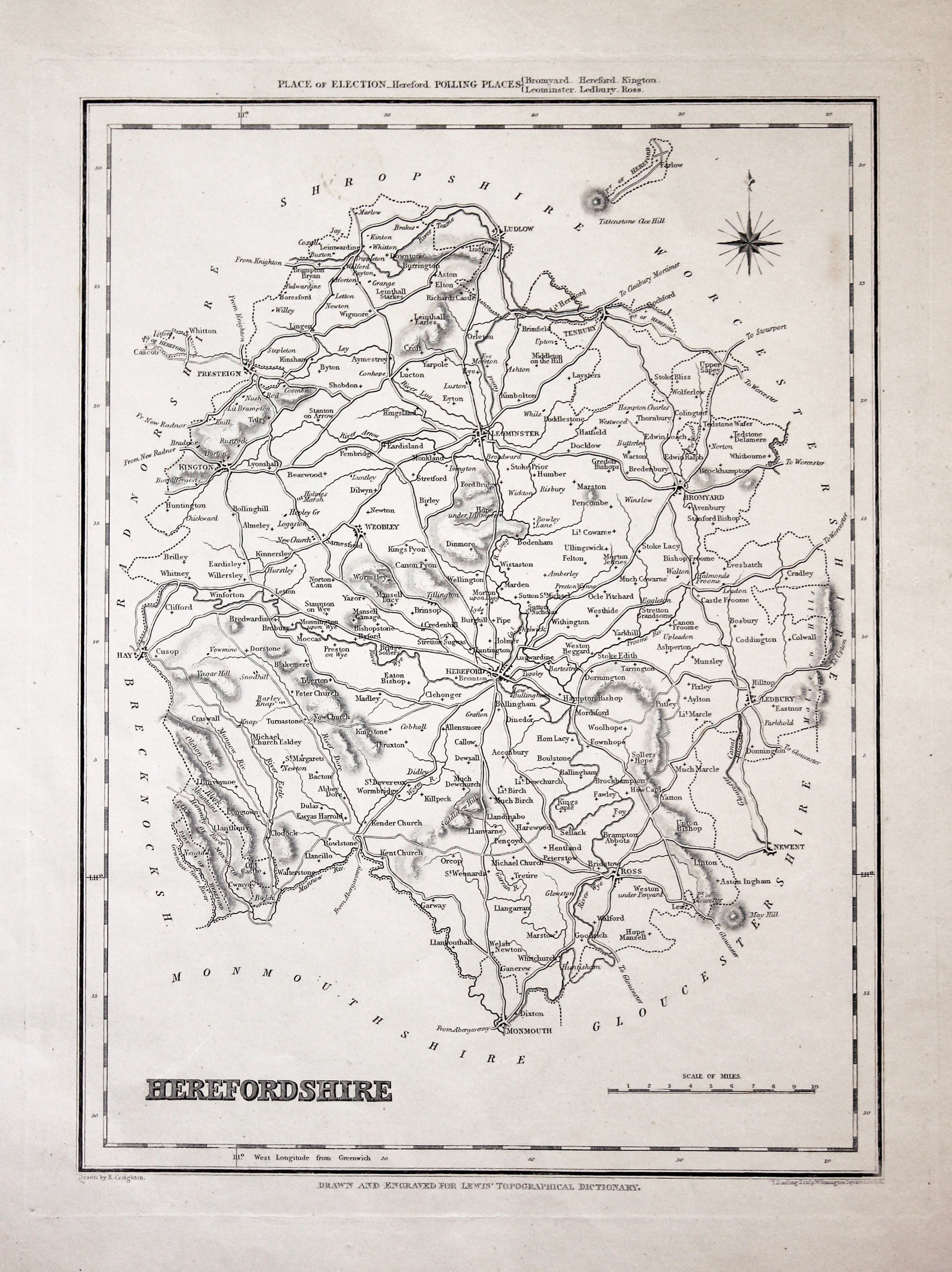
Herefordshire, R. Creighton, c.1835
7636 Herefordshire, R. Creighton, c.1835. Price: 12.00
HEREFORD
A simple map of the county indicating with symbols and a key the places of elections and polling places. 6 x 9 1/4 inches. Original outline hand colouring. Good condition.
From: Samuel Lewis' Topographical Dictionary

19th Century
-
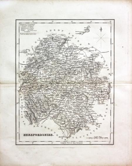
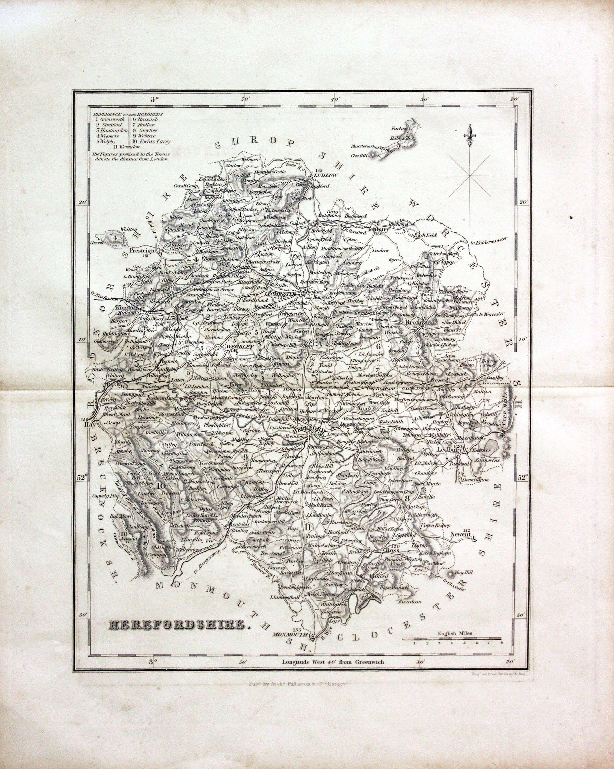
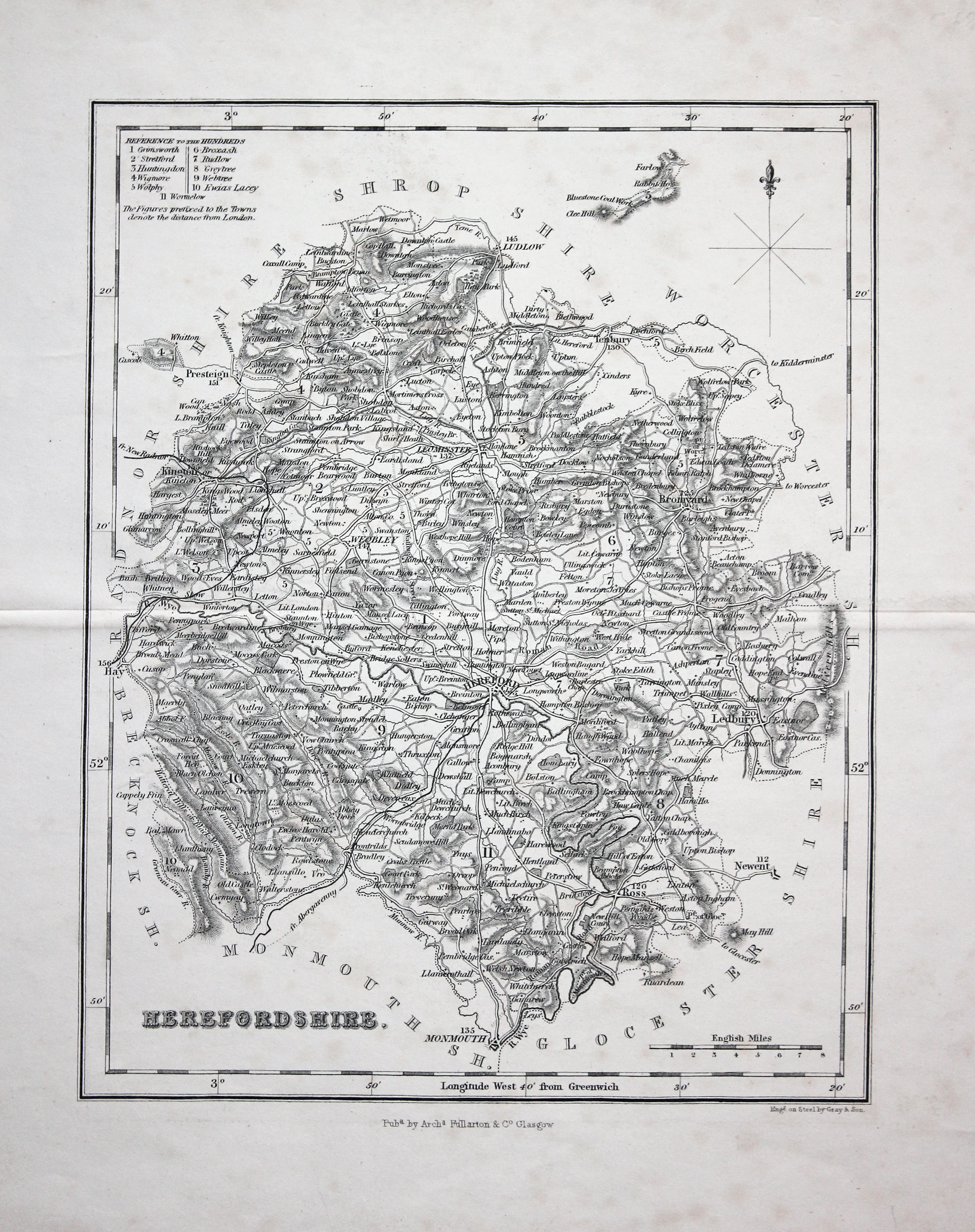
Herefordshire, Archibald Fullarton c.1840
28749 Herefordshire, Archibald Fullarton, c.1840. Price: 23.00
HEREFORDSHIRE
A good detailed engraved mid 19th century map of the county. Scale, compass pointer and list of hundreds. Uncoloured. 7 1/2 x 9 1/2 inches. Lightly toned but good condition with no tears or repairs.
From: The Parliamentary Gazetteer

18th Century - County and Road Map
-
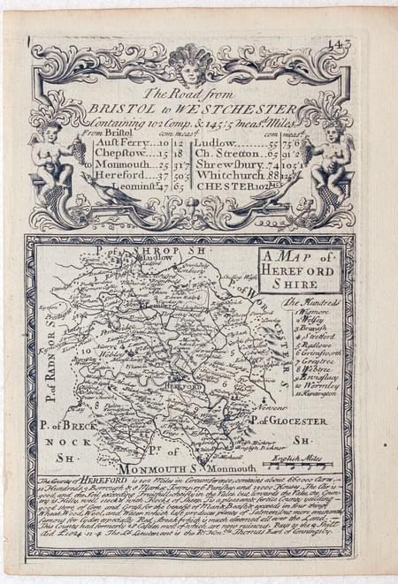
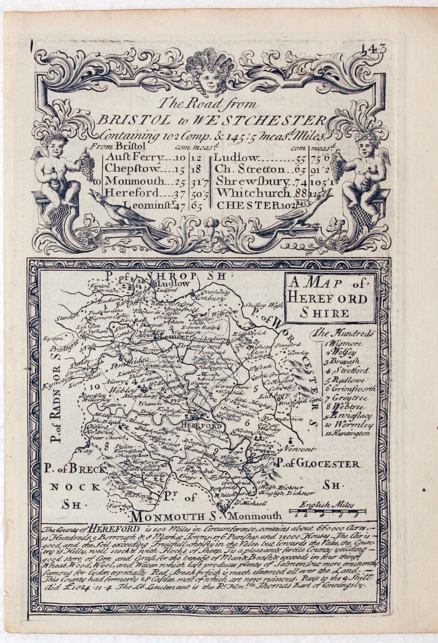
Herefordshire, John Owen and Emanuel Bowen, c.1730
28873 Herefordshire, John Owen and Emanuel Bowen, c.1730. Price: 28.00
A MAP OF HEREFORDSHIRE
An engraved count map with description beneath. Title panel. The map is surmounted by a baroque cartouche titled The Road from Bristol to West Chester. Strip road map on verso from Bristol to beyond Monmouth. 4 1/2 x 7 inches. Uncoloured. Good condition.
From: Britannia Depicta

18th Century
-
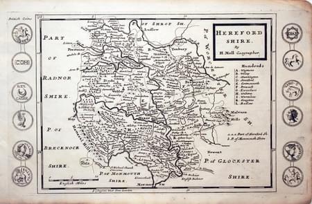
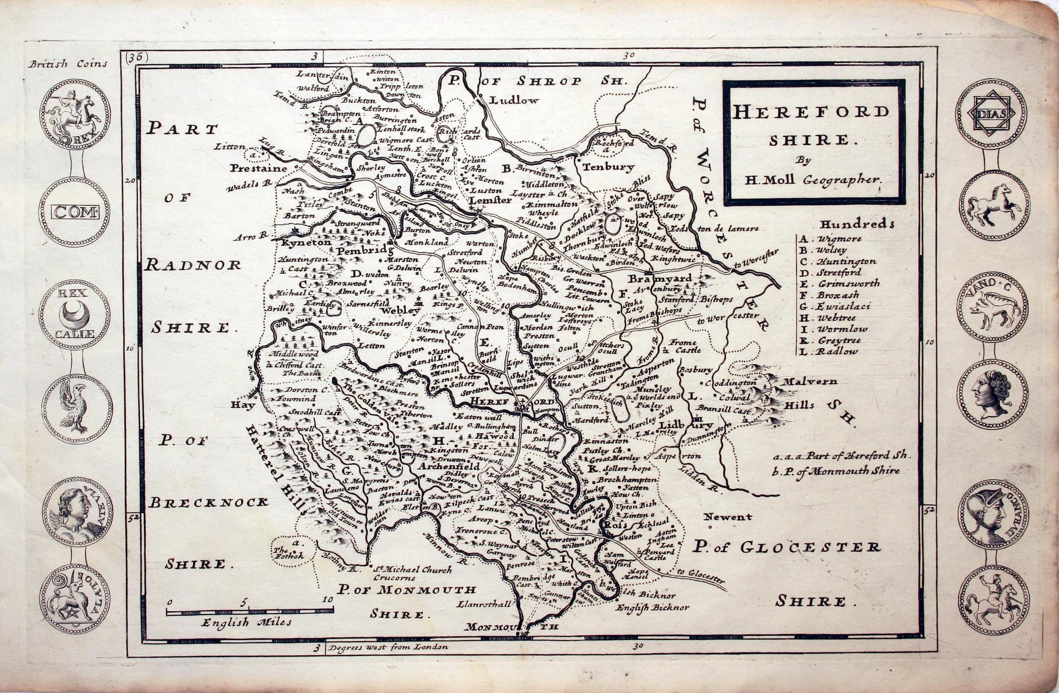
Herefordshire, Herman Moll 1724

28901 Herefordshire, Herman Moll, c.1724. Price: 80.00
HEREFORDSHIRE BY H. MOLL GEOGRAPHER
An engraved map of the county divided into hundreds. Title panel, scale, and list of hundreds. Down the two sides of the map are engravings of Roman Coins. 12 1/2 x 7 1/2 inches. Uncoloured. Nice clean condition.
From: A Set of Fifty New and Correct Maps of England and Wales
18th Century - With Text
-
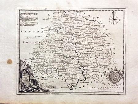
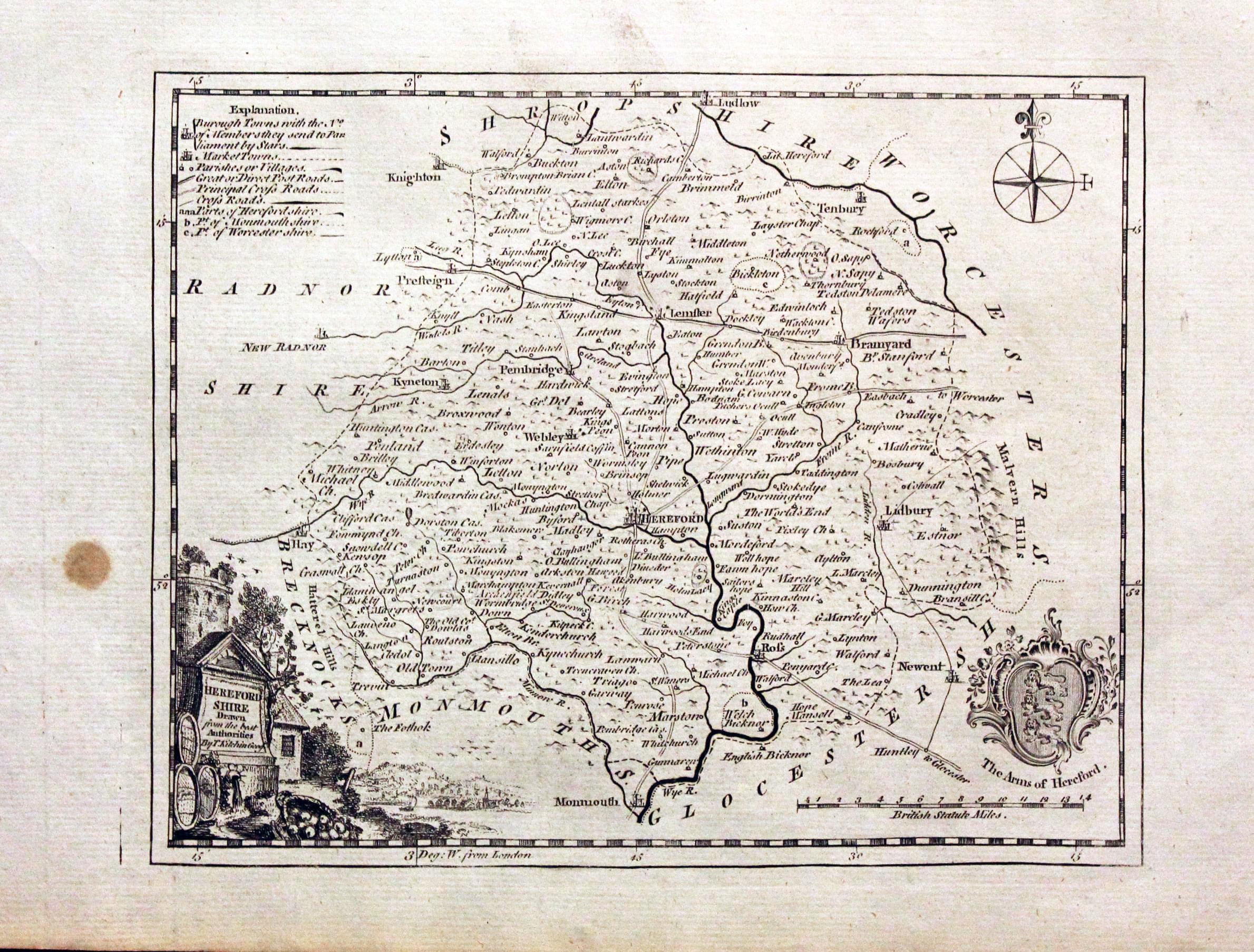
Herefordshire, Thomas Kitchin, c.1786
29975 Herefordshire, Thomas Kitchin, c.1786. Price: 35.00
HEREFORDSHIRE DRAWN FROM THE BEST AUTHORITIES BY T. KITCHIN GEOGR.
County map embellished with a pictorial title cartouche, Arms of Hereford and Compass pointer. 8 1/2 x 6 3/4 inches. Uncoloured. Brown spot in the left hand blank margin otherwise good condition. With this map is the original page of descriptive page of text. Straight from the atlas and not sold as a single map before.
From: Views and Representations of the Antiquities of England and Wales

Early 19th Century - Original Hand Colouring
-
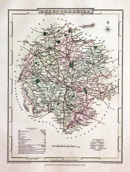
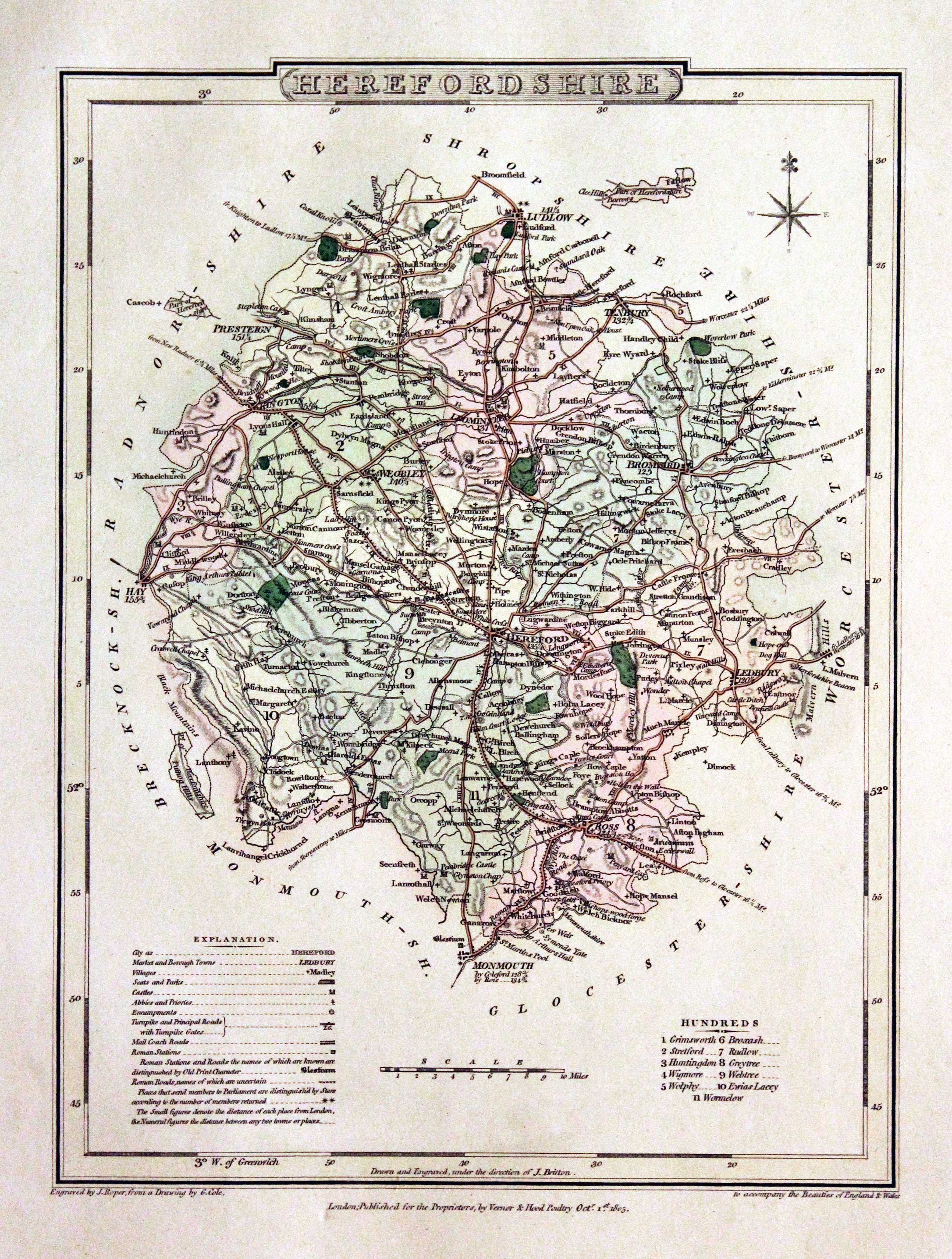
Herefordshire, George Cole and John Roper, 1810
30011 Herefordshire, George Cole and John Roper, 1810. Price: 34.00
HEREFORDSHIRE
A good detailed engraved county map. Explanation, scale and list of hundreds. 7 x 9 inches. Original wash hand colouring. Fine condition with wide blank margins. Straight from the atlas and not sold as a single map before.
From: The British Atlas

19th Century - Miniature
-
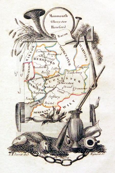
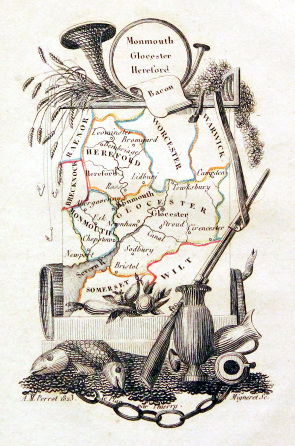
Monmouthshire, Gloucestershire and Herefordshire, Aristide M. Perrot, 1823
30192 Monmouthshire, Gloucestershire and Herefordshire, Aristide M. Perrot, 1823. Price: 42.00
MONMOUTH GLOCESTER HEREFORD
A miniature engraved map by Adrien Migneret of the three counties within a pictorial border. 2 1/2 x 4 1/4 inches. Original outline hand colouring. Good condition.

17th Century - Road Map
-

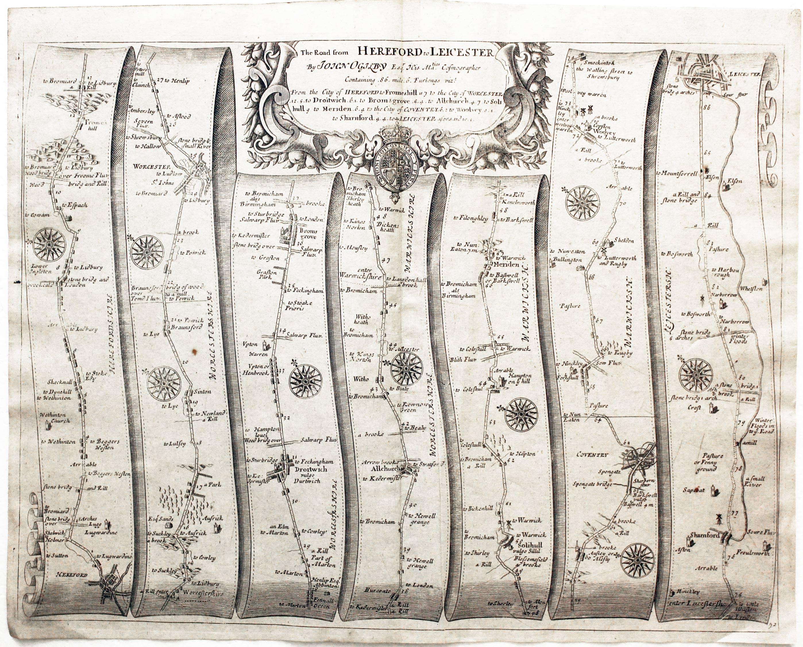
Hereford, Worcester, Droitwich, Bromsgrove, Coventry, Leicester John Ogilby
29426 Road Map, John Ogilby, 1698. Price: 130.00
Plate 72. Hereford, Worcester, Droitwich, Bromsgrove, Coventry, Leicester
An uncoloured specimen of the 1698 edition. Slight crease in the paper to the right of the centre fold when the map was printed. Otherwise a nice specimen
19th Century
-

Herefordshire, Archibald Fullarton c.1843
30683 Herefordshire, Archibald Fullarton c.1843. Price: 24.00
HEREFORDSHIRE
A good detailed engraved mid 19th century map of the county. Scale, compass pointer and list of hundreds. Uncoloured. 7 1/2 x 9 1/2 inches. Good clean condition.
From: The Parliamentary Gazetteer

Late 18th Century - Good Provenence
-

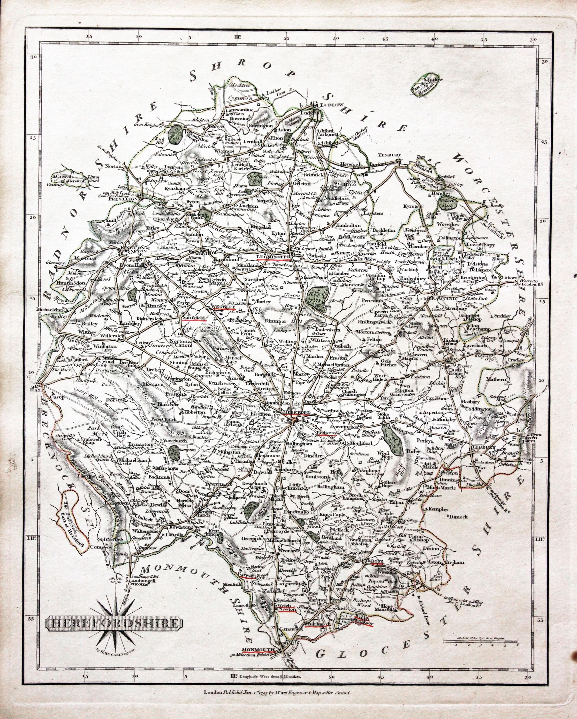
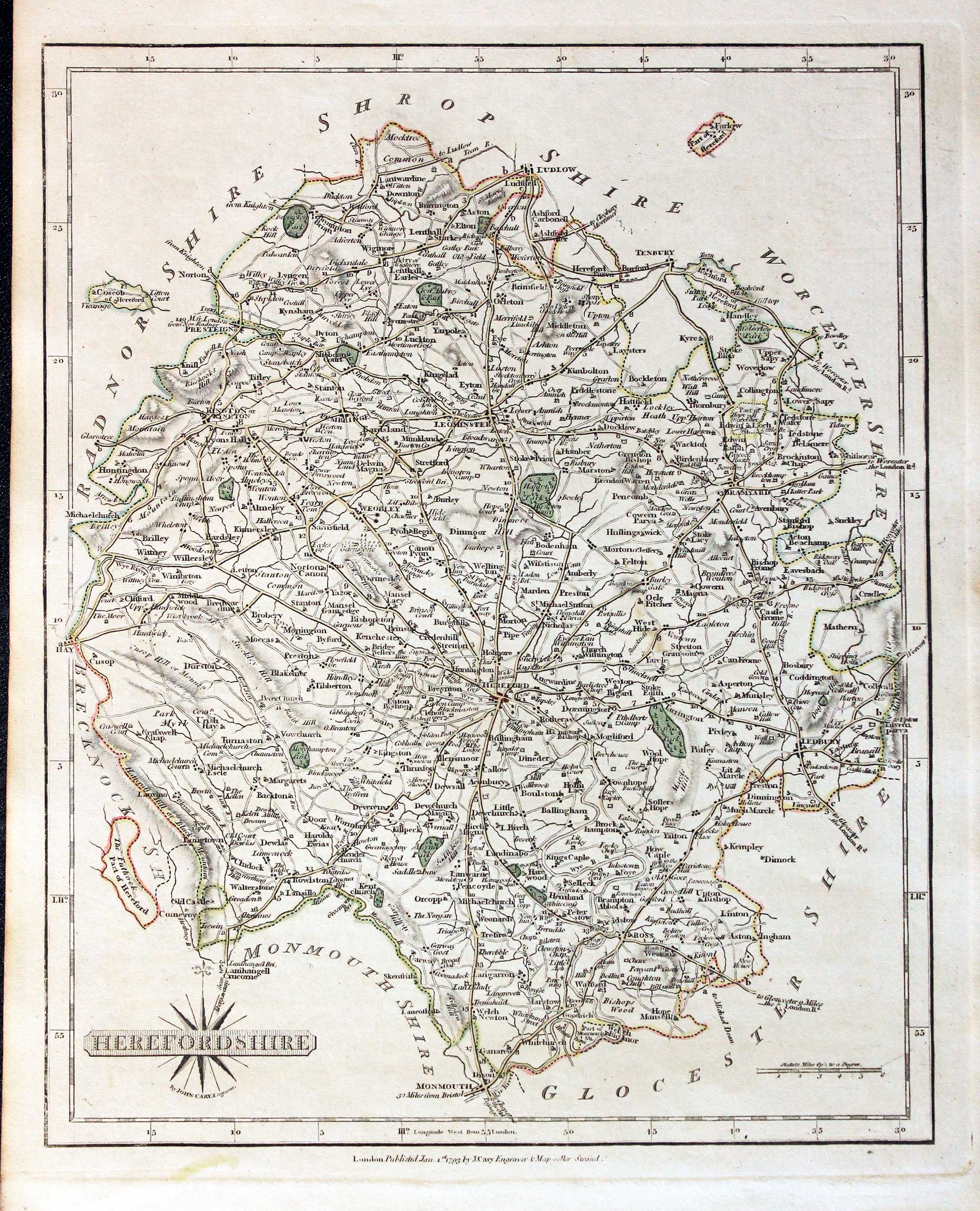
Herefordshire, John Cary 1793

30866 Herefordshire, John Cary 1793. Price: 38.00
HEREFORDSHIRE
A good detailed engraved map of the county. Title panel and compass rose combined. Publisher's imprint dated 1793. 8 1/4 x 10 1/4 inches. Original outline hand colouring. Some names of towns on the map are underlined in red. Good condition. With original page of descriptive text.
From: Cary's New and Correct English Atlas
The places underlined in red ink are those in which a Catholic mission has been established between the era of the Reformation and the year 1840
John Hobson Matthews (1858 - 1914) Born in Croydon in 1858. Educated at schools at Blackheath and Cambridge. Worked for a shipping firm in Malta. A good linguist he was a Roman Catholic historian, archivist and solicitor. You will find more details about him here in the Dictionary of Welsh Biography.
For the Collector
-

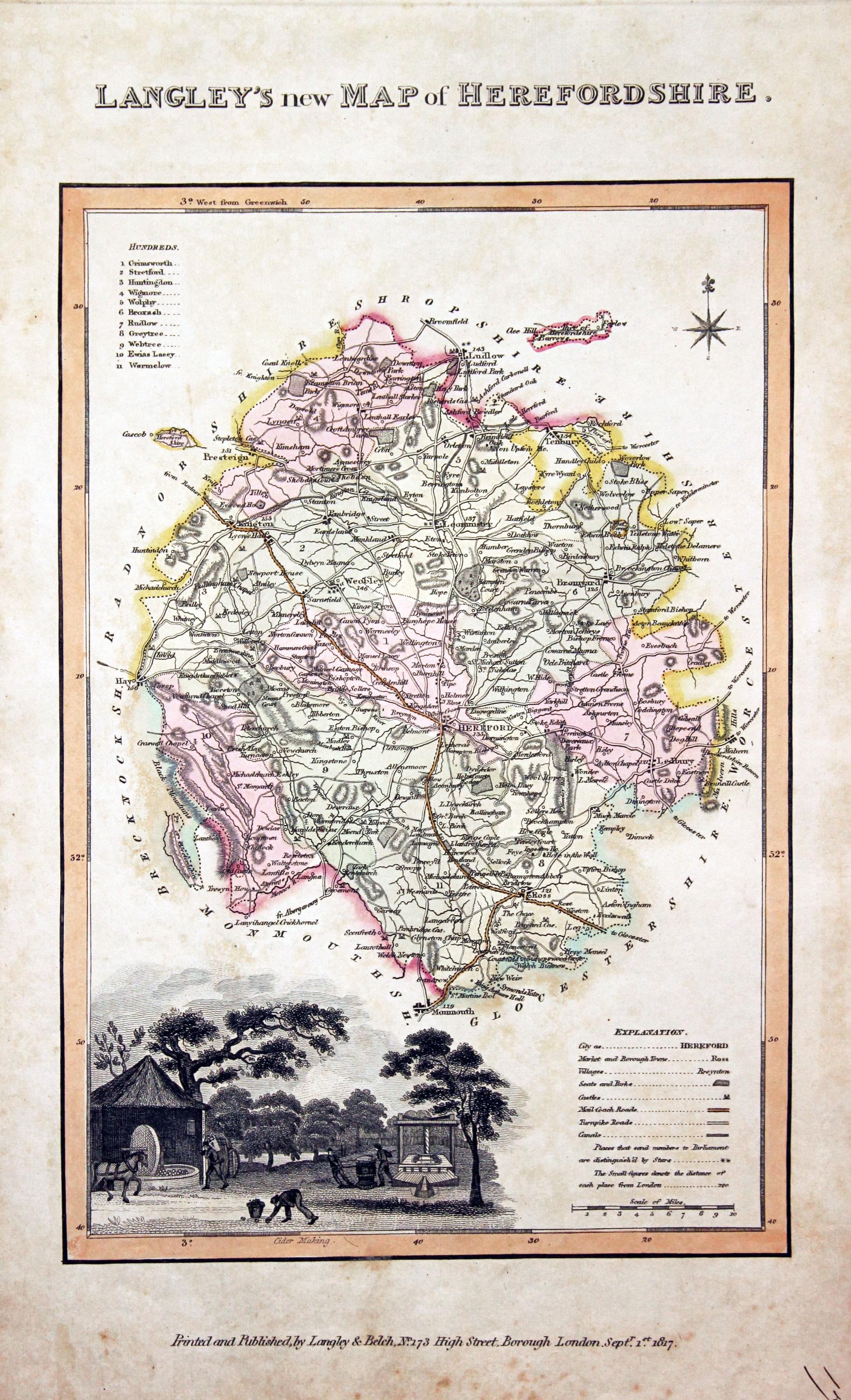
Herefordshire, Edward Langley and William Belch, 1820
30924 Herefordshire, Edward Langley and William Belch, 1820. Price: 58.00
LANGLEY’S NEW MAP OF HEREFORDSHIRE
An engraved map of the county. In the bottom left hand corner is a vignette view of Cider Making. The title appears above the map. Beneath the map is the publishers imprint Printed and Published by Langley & Belch, No. 173 High Street, Borough, London, Septr. 1st, 1817. 6 3/4 x 10 inches. Manuscript number 17 in the bottom right hand corner. Original outline and wash hand colouring. Some light soiling with a little speckled foxing mainly in blank margins. No tears or repairs.
From: Langley’s New County Atlas of England and Wales

18th Century - Early Hand Colouring
-

Herefordshire, John Cary 1793

30987 Herefordshire, John Cary 1793. Price: 35.00
HEREFORDSHIRE
A well engraved detailed map of the county with title panel and compass rose combined. Scale. Imprint of John Cary dated 1793. Centre fold. Old manuscript numbering in blank margin 72 and 73. 8 1/4 x 10 1/4 inches. Original outline hand colouring. Good condition.
From: Cary's New and Correct English Atlas
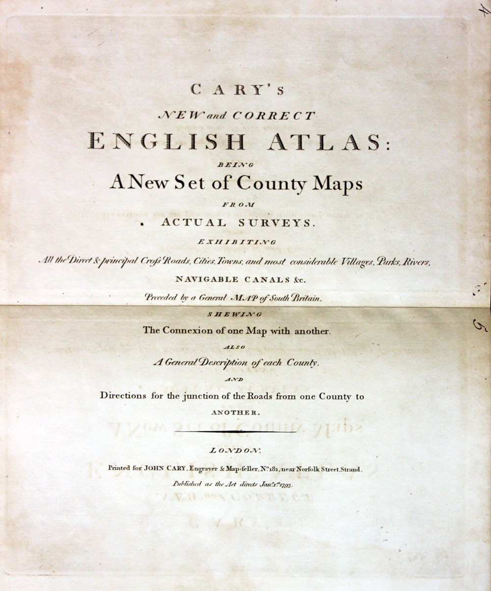
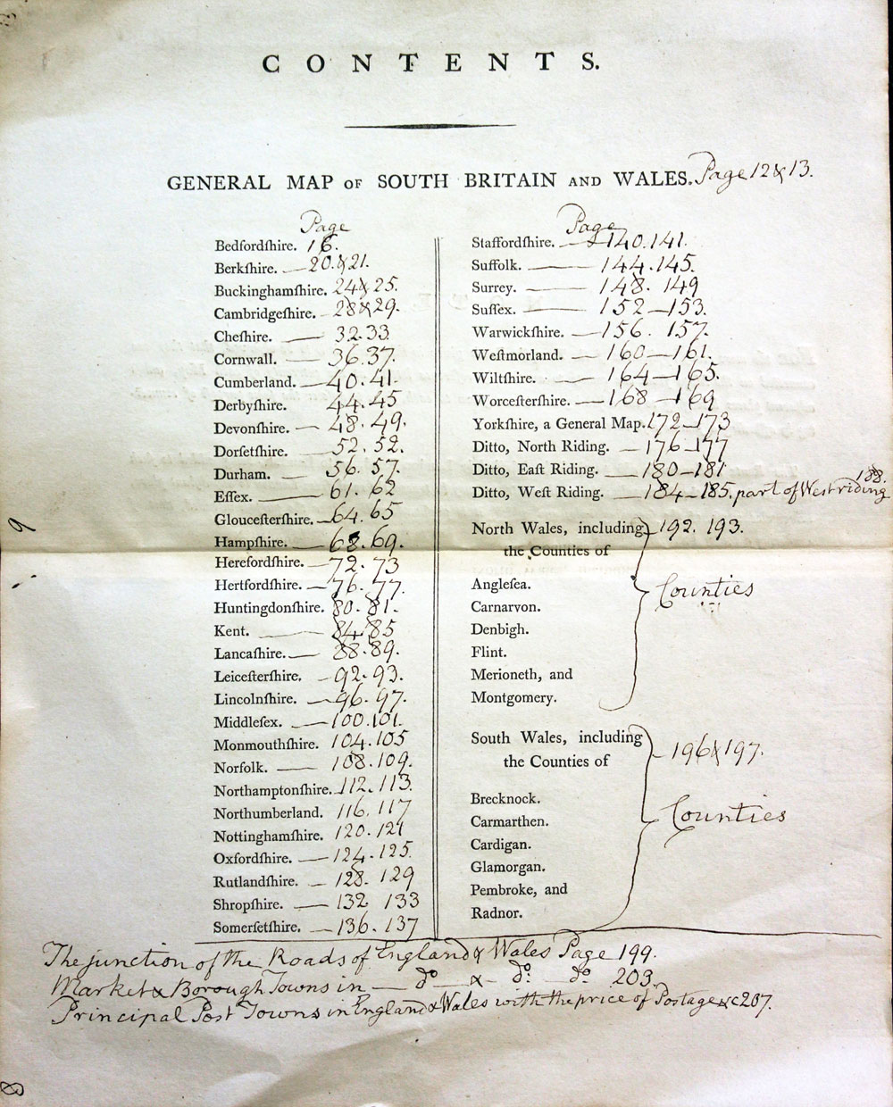
TITLEPAGE AND ANNOTATED CONTENTS PAGE
-

New and Correct English Atlas
-
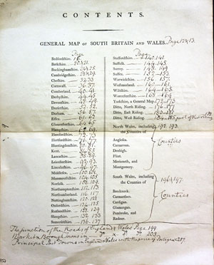
Hobsons Fox Hunting Atlas List of Hunts
19th Century
-
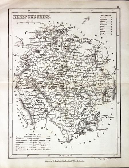
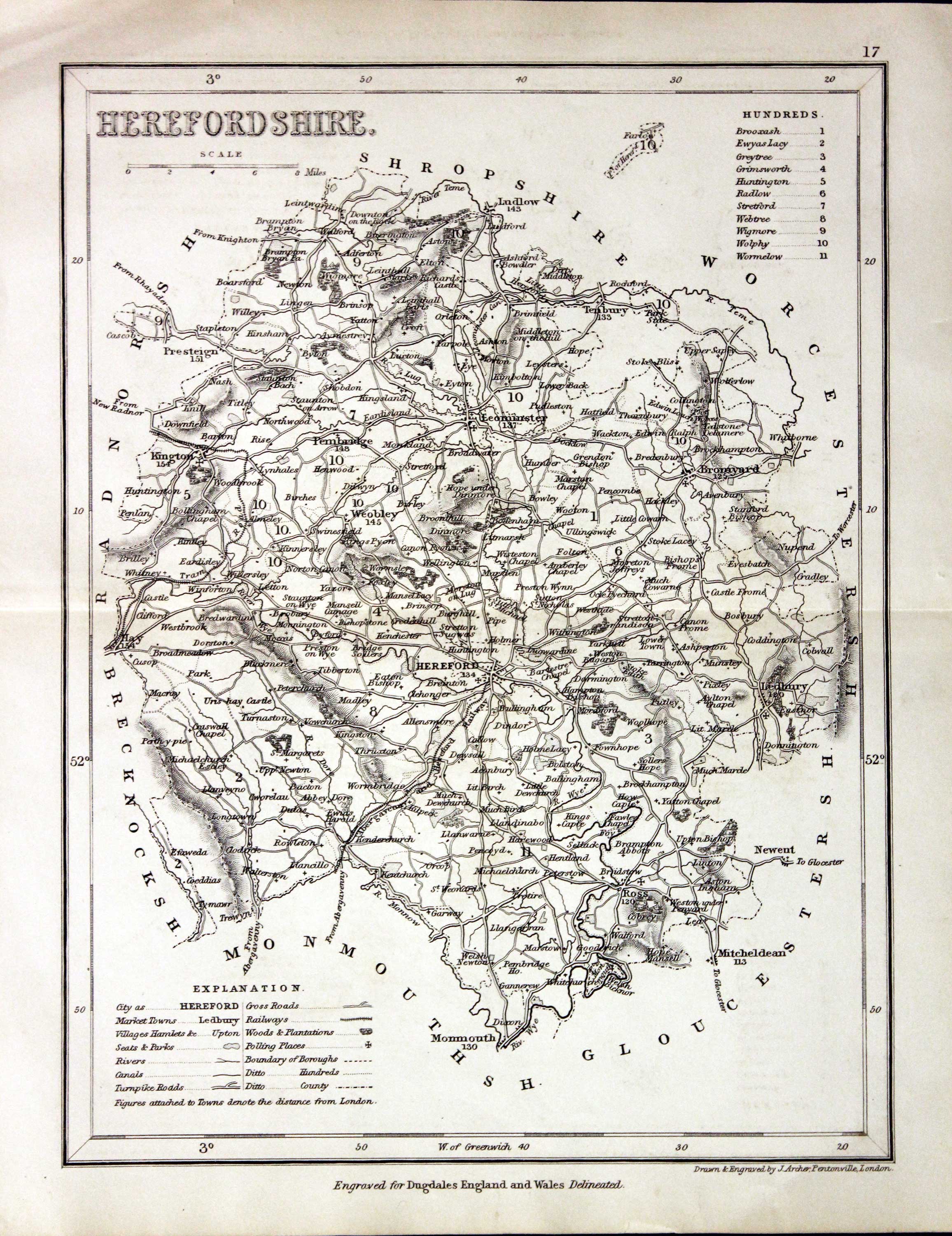
Herefordshire, Joshua Arxcher c.1845
31127 Herefordshire, Joshua Archer, c.1845. Price: 14.00
HEREFORDSHIRE
A detailed engraved map with explanation and list of divisions. 7 x 9 1/4 inches. Uncoloured. Good condition.
From: Dugdale’s England and Wales Delineated

18th Century - Two County Maps
-
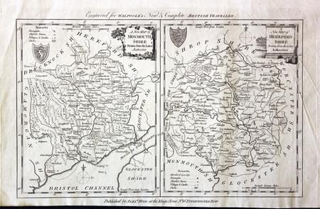
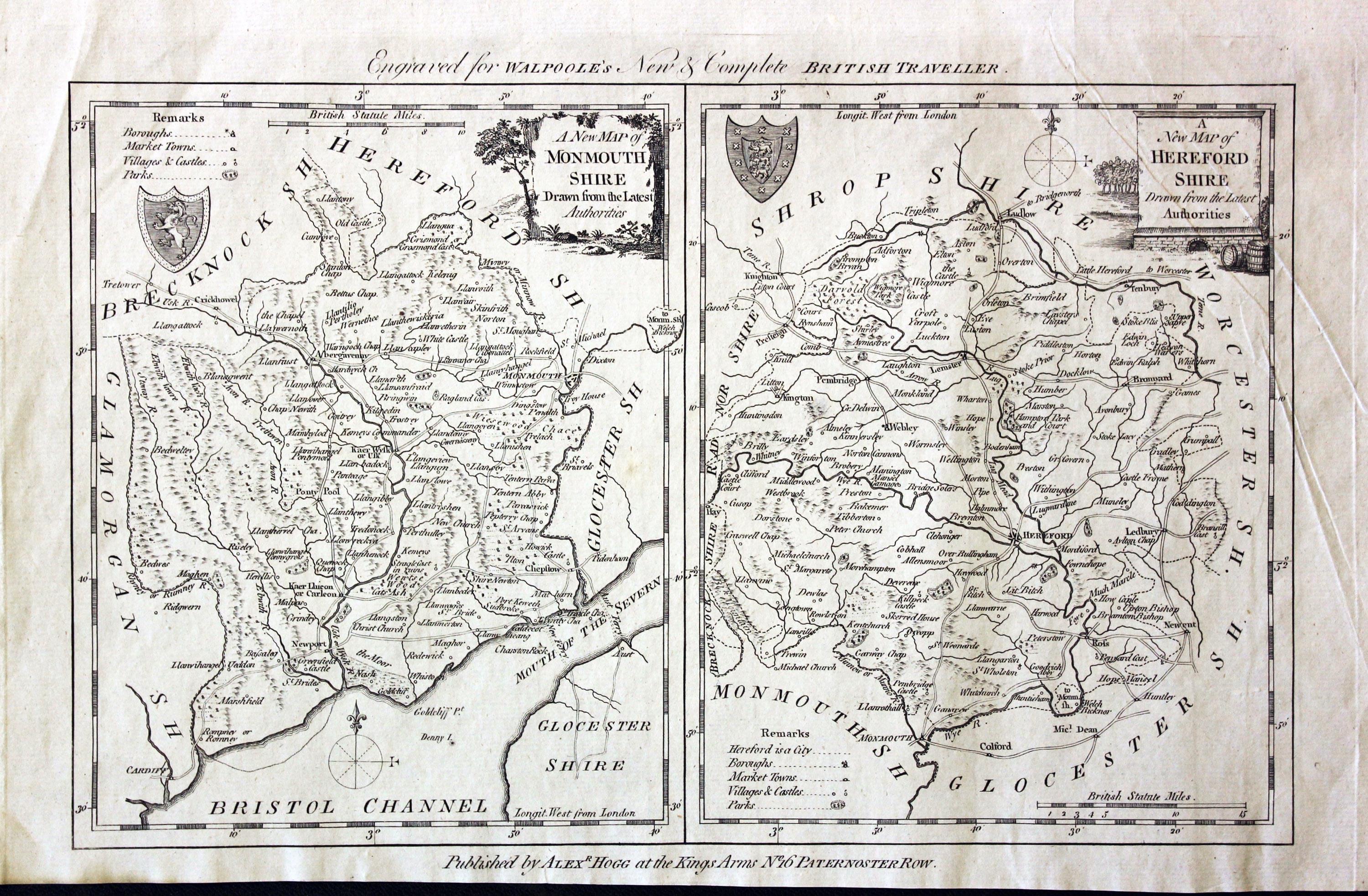
Monmouthshire and Herefordshire, George A. Walpole, 1794
31319 Monmouthshire and Herefordshire, George A. Walpoole, 1794. Price: 35.00
Two maps on one sheet.
A NEW MAP OF MONMOUTHSHIRE DRAWN FROM THE LATEST AUTHORITIES.
An engraved county map with a pictorial title cartouche. Coat of arms and compass pointer. 6 1/4 x 7 3/4 inches, 160 x 195 mm. Uncoloured.
and
A NEW MAP OF HEREFORDSHIRE DRAWN FROM THE LATEST AUTHORITIES.
An engraved map of the county embellished with a pictorial title cartouche. Coat of arms. 6 1/4 x 7 3/4 inches. Uncoloured. In goo condition. The bottom blank margin narrows a bit on the left hand side. A few light creases but good clean undamaged condition.
From: Walpoole’e New Complete English Traveller

For the Collector
-
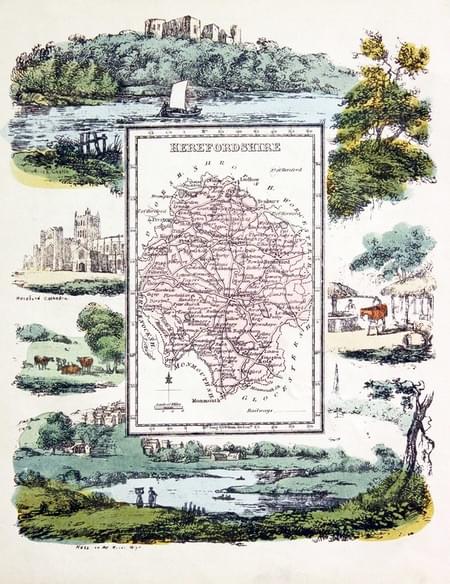
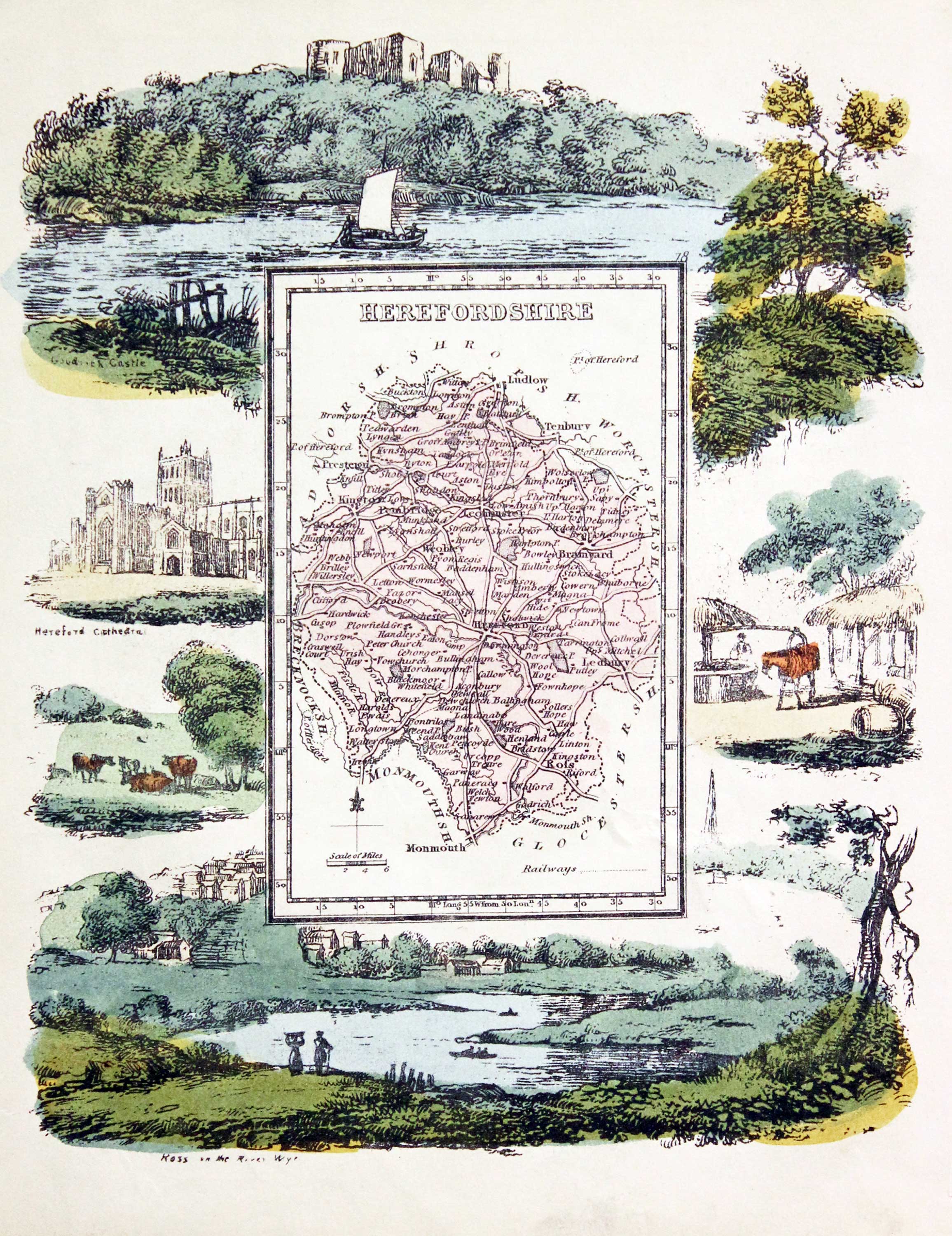
Herefordshire, Reuben Ramble 1845
-
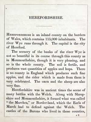
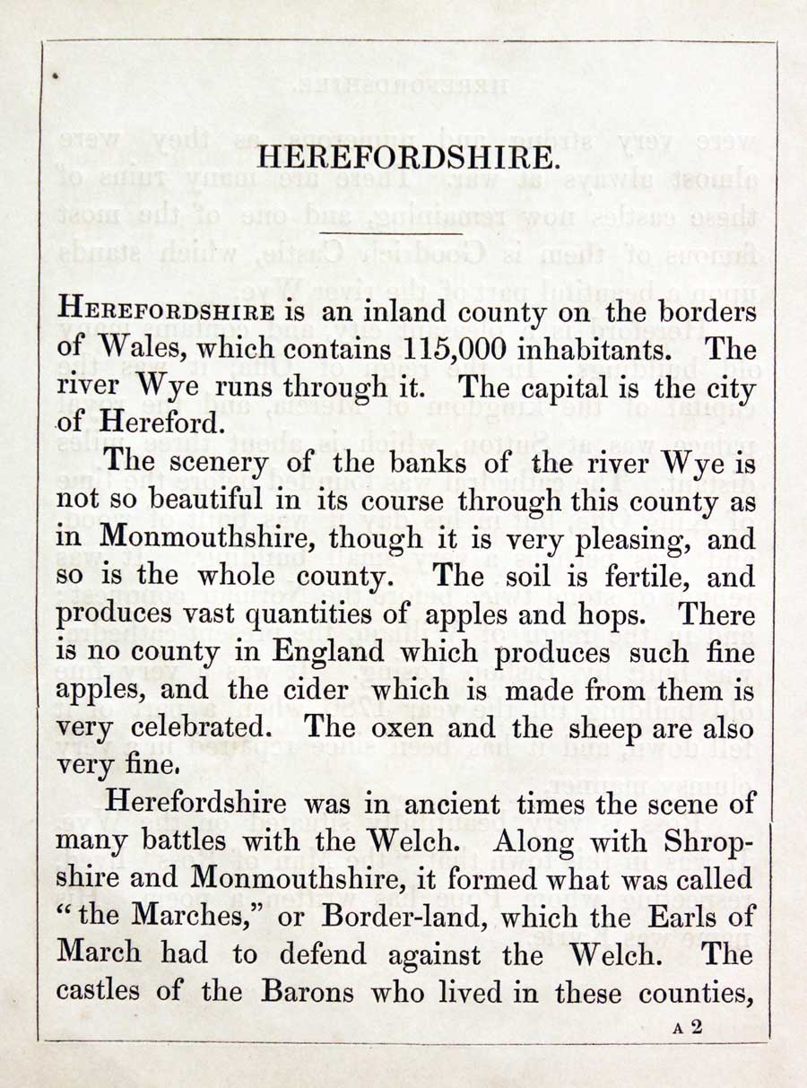
Herefordshire Text, Reuben Ramble 1844
31366 Herefordshire, Reuben Ramble, c.1845. Price: 59.00
HEREFORDSHIRE
An uncommon lithograph miniature map of the county surrounded by a wide border of vignette views of local scenes including Hereford Cathedral, Ross-on-Wye and Farming. The maps first appeared in Miller’s New Miniature Atlas published in 1810. The decorative views were added and the maps republished by Darton & Clark in “Reuben Ramble’s Travels Through the Counties of England” in 1844. 5 3/4 x 7 1/4 inches. This is the size of overall area and not the contained map. Original hand colouring. With this map is the original double sided page of text describing the county.

For the Collector
-
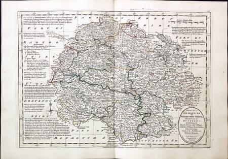
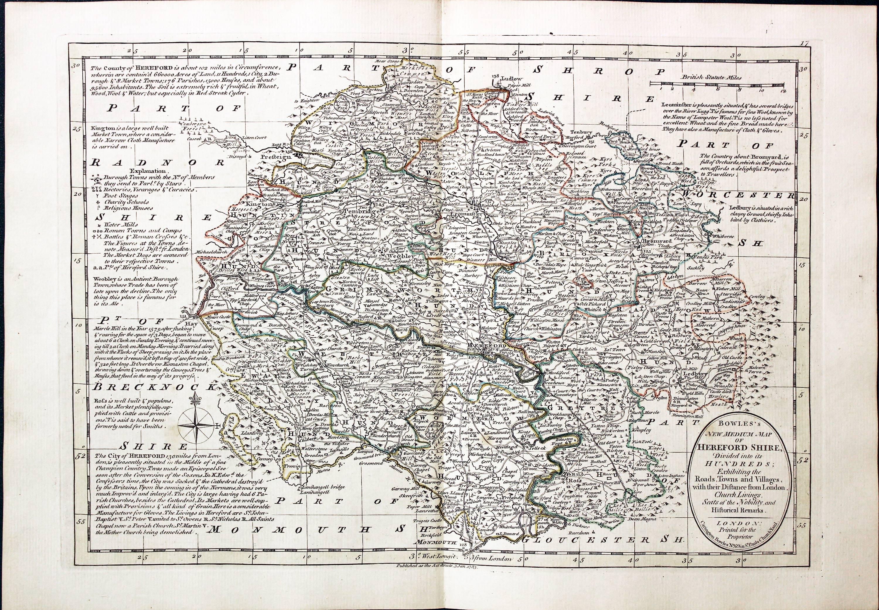
Herefordshire, Carington Bowles, 1785
31429 Herefordshire, Carington Bowles, 1785. Price: 70.00
BOWLES’S NEW MEDIUM MAP OF HARTFORD SHIRE DIVIDED INTO ITS HUNDREDS..
A good detailed late 18th century map of the county. The title appears within a circular panel bearing the imprint of Carington Bowles No. 69 in St. Paul’s Church Yard. Beneath the map is a further imprint Published as the Act directs, 3 Jan. 1785. Around the map are interesting engraved notes pertaining to the county. 12 1/2 x 8 3/4 inches. Explanation and scale. Original outline hand colouring. Superb clean condition having been taken straight from the atlas and not sold previously as a single map.
From: Bowles’s New Medium English Atlas. The maps in this atlas are based on the maps by Emanuel and Thomas Bowen in their Atlas Anglicanus. The title cartouche has been changed as well as the addition of the distance in miles from London shown by some town names.
PROVENANCE
-

Titlepage
-
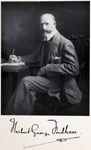
Sir H. George Fordham
-
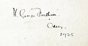
Signature

Early 19th Century - Original Hand Colouring
-
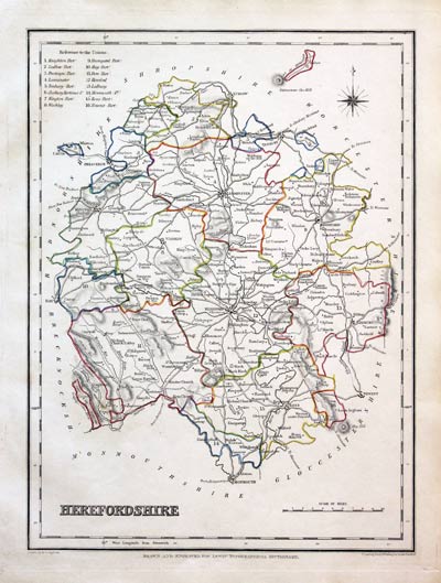
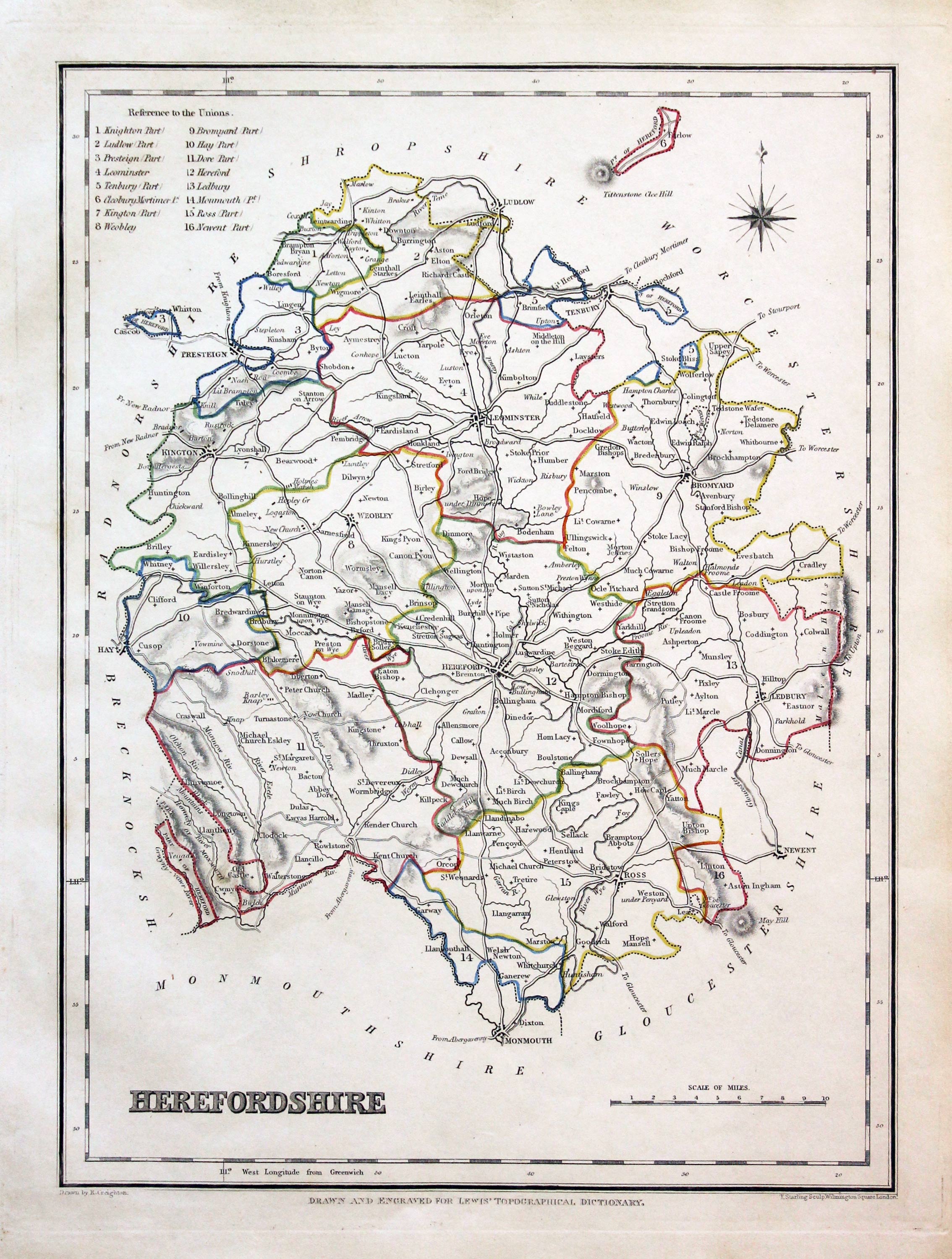
Herefordshire, Samuel Lewis 1845
31593 Herefordshire, Samuel Lewis, 1845. Price: 22.00
HEREFORDSHIRE
A county map drawn by R. Creighton and engraved by J. & C. Walker. Reference to the Unions. 6 3/4 x 9 inches. Original outline hand colouring. Good clean condition. Straight from the atlas and not sold as a single map before now.
From: Lewis' Atlas to the Topographical Dictionaries of England and Wales

17th Century
-
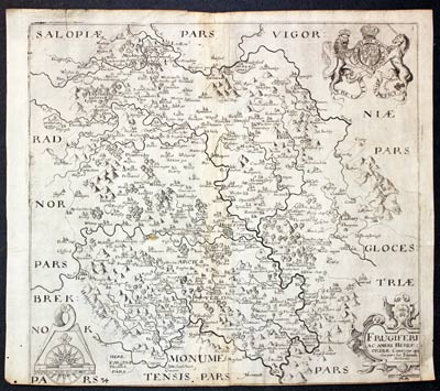
Herefordshire, William Kip 1637
31633 Herefordshire, Christopher Saxton / William Kip, 1637. Price: 80.00
FRUGIFERI AC AMENI HEREFORDIAE COMITATUS QUI OLIM PARS SUIT SILURUM DEINEATIO
An early engraved map of the county engraved by William Hole after the survey by Christopher Saxton. Embellished with decorative title cartouche and the royal arms. Scale with compass rose and pair of dividers. 12 1/4 x 11 1/4 inches. Uncoloured. Some trimming across the bottom. Three small worm holes in the bottom of the left hand blank margin. Special price.
From: Camden's Britannia

19th Century - Original Hand Colouring
-
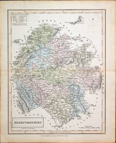
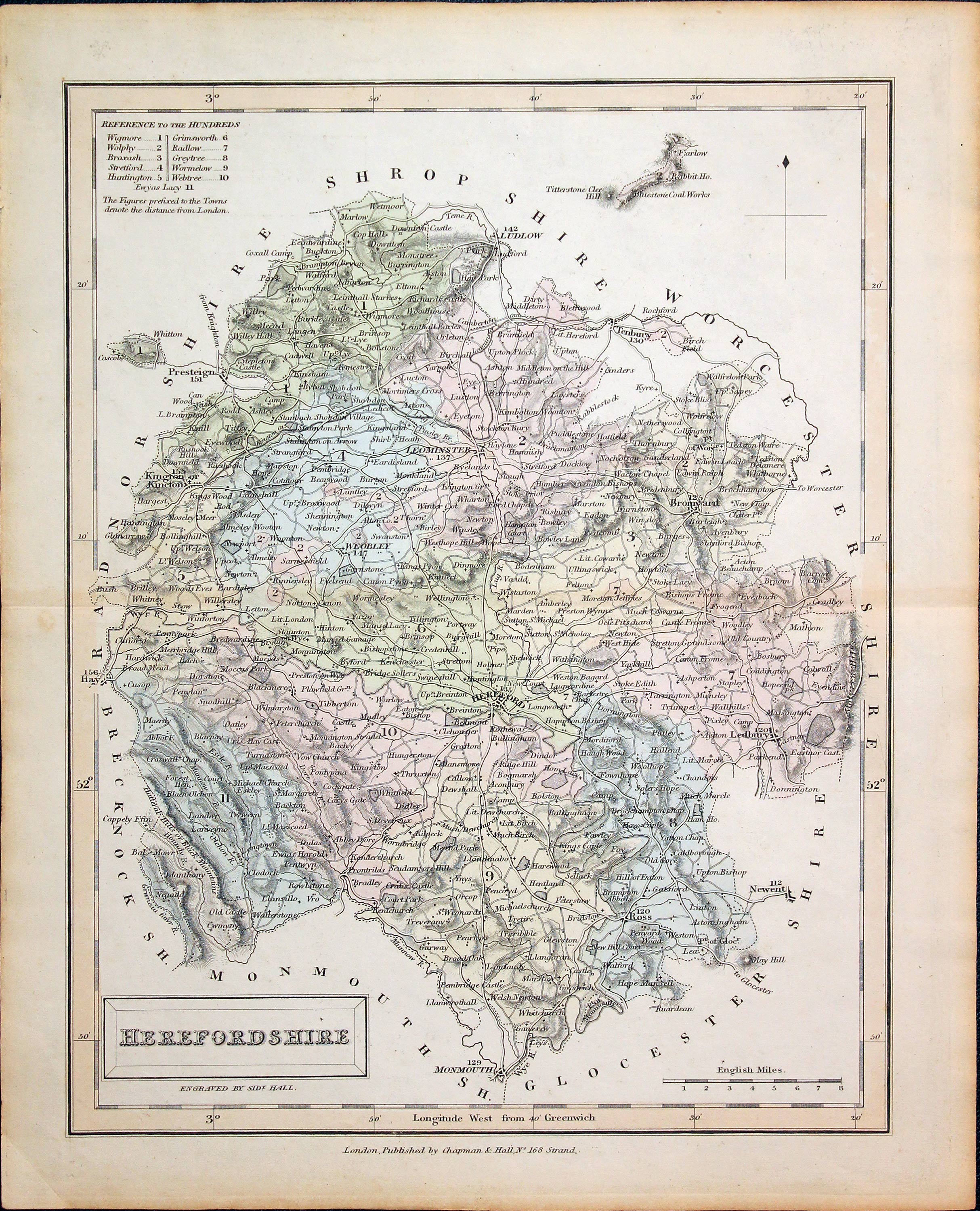
Herefordshire, Sidney Hall c.1831
31634 Herefordshire, Sidney Hall, c.1831. Price: 22.00
HEREFORDSHIRE
An engraved map of the county by Sidney Hall. Published by Chapman & Hall, 162 Strand. . 7 1/4 x 9 1/2 inches. Original wash hand colouring. Good condition.

Early 19th Century - Original Hand Colouring
-

Herefordshire, John Cary, 1802
31703 Herefordshire, John Cary, 1802. Price: 38.00
HEREFORDSHIRE
A well engraved detailed map of the county with title panel and compass rose combined. Scale. Imprint of John Cary dated 1793. With original page of descriptive text. 8 1/4 x 10 1/4 inches. Original outline hand colouring. Good condition. Straight from the atlas and not sold as a single map before. I have dated this map 1802 because the paper is watermarked 1802. The title page of the atlas is dated 1793.
From: Cary's New and Correct English Atlas

19th Century
-

Herefordshire, Samuel Lewis, c.1840
32247 Herefordshire, Samuel Lewis, 1840. Price: 22.00
HEREFORDSHIRE
A county map drawn by R. Creighton and engraved by J. & C. Walker. Reference to the Unions. 6 3/4 x 9 inches. Uncoloured. Good condition.
From: Lewis' Atlas to the Topographical Dictionaries of England and Wales

19th Century
-
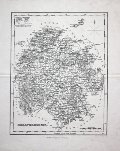
Herefordshire, Archibald Fullarton c.1840
32248 Herefordshire, Archibald Fullarton, c.1840. Price: 19.00
HEREFORDSHIRE
A good detailed engraved mid 19th century map of the county. Scale, compass pointer and list of hundreds. Uncoloured. 7 1/2 x 9 1/2 inches. Some very light foxing with no tears or repairs.
From: The Parliamentary Gazetteer

Late 18th Century - Original Hand Colouring
-
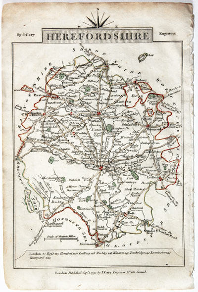
Map of Herefordshire John Cary, 1792
32579 Herefordshire, John Cary, 1792. Price: 11.00
HEREFORDSHIRE
A small engraved map of the county. Tile panel surmounted by half compass rose. Panel at bottom with list of distances from London. Publisher’s imprint beneath dated 1792. 3 1/2 x 4 3/4 inches. Thin paper. Original outline hand colouring. Good condition.
From: Cary’s Traveller’s Companion
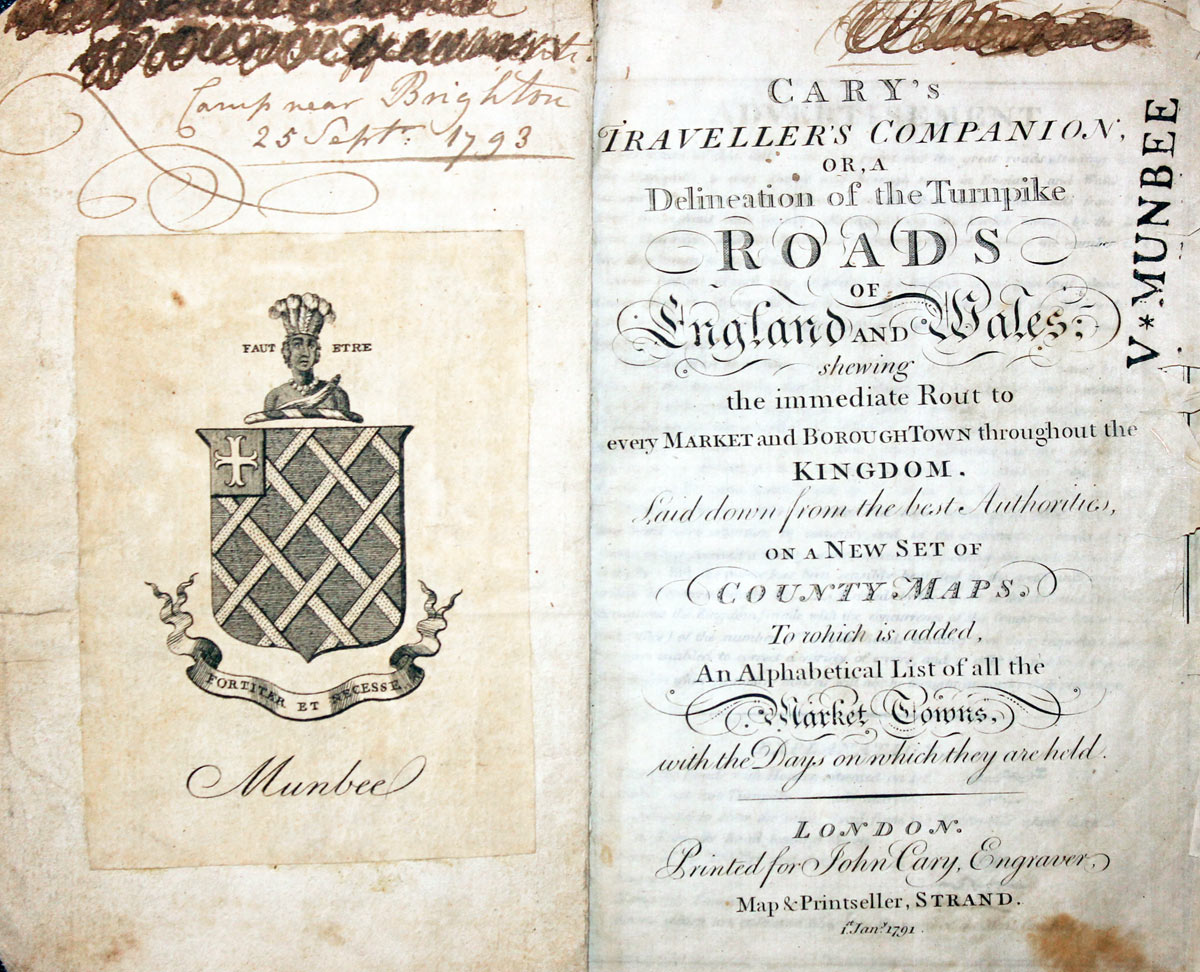
Titlepage dated 1791, maps dated 1792. The atlas was formerly in the Mumbee family library - titlepage stamped V. Munbee
Provenance
-
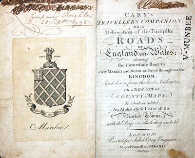
Cary Titlepage and Munbee Bookplate

Early 17th Century
-
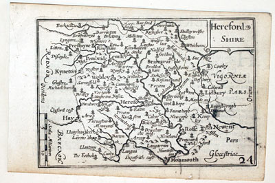
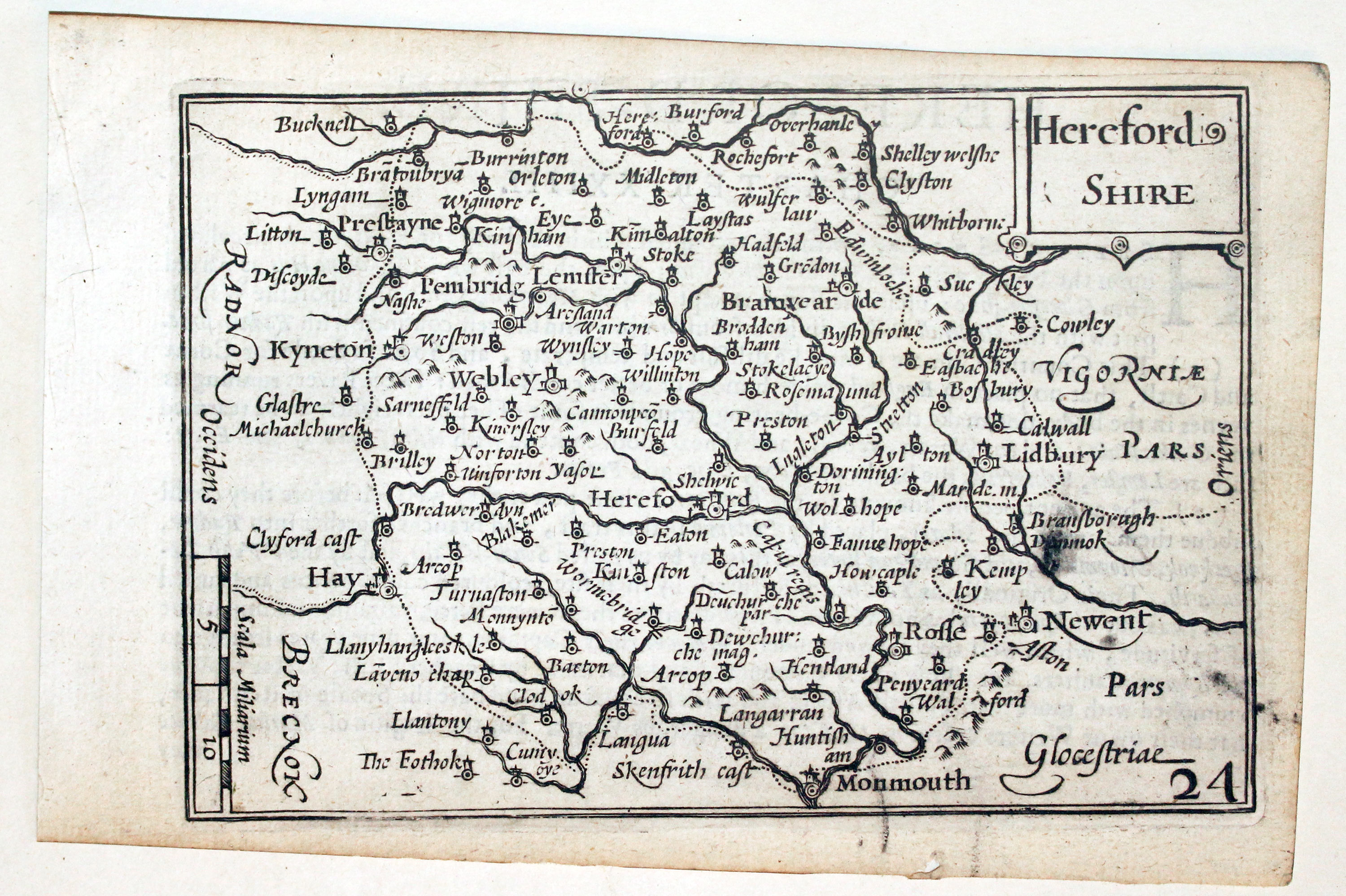
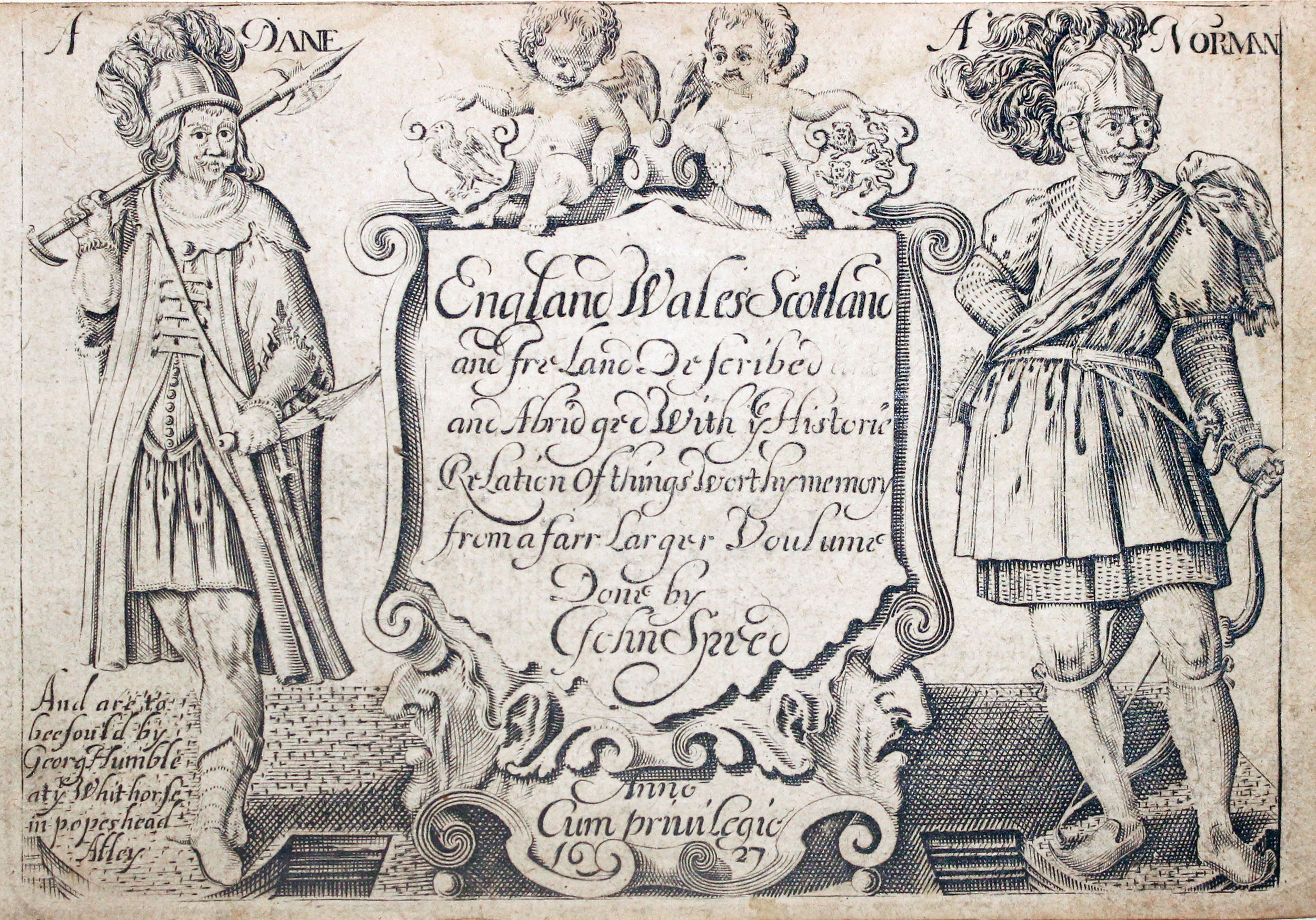
Herefordshire by Pieter van den Keere, c.1627
-
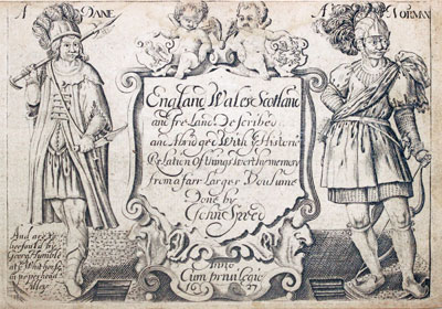
Pieter van den Keere Atlas Titlepage, c.1627
32638 Herefordshire, Pieter van den Keere, c.1627. Price: 59.00
HEREFORD SHIRE
A early engraved miniature map of the Herefordshire. Embellished with title cartouche and scale panel. Numbered 24. 4 3/4 x 3 1/4 inches. Other than a small black mark on the right hand side of the map a clean undamaged uncoloured specimen. The map has been printed slightly askew but no trimming to the map area. On verso is the start of a description of the county in English. With this map is the original page that continues the description on two more sides. The final page of description appears on the verso of the country map of Worcestershire Straight from the atlas and not previously sold as a single map. The title page of the atlas is dated 1627
From: England Wales Scotland and Ireland Described

17th Century - Text
-
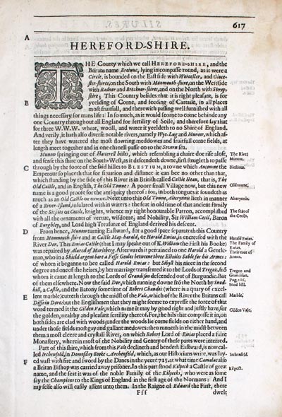
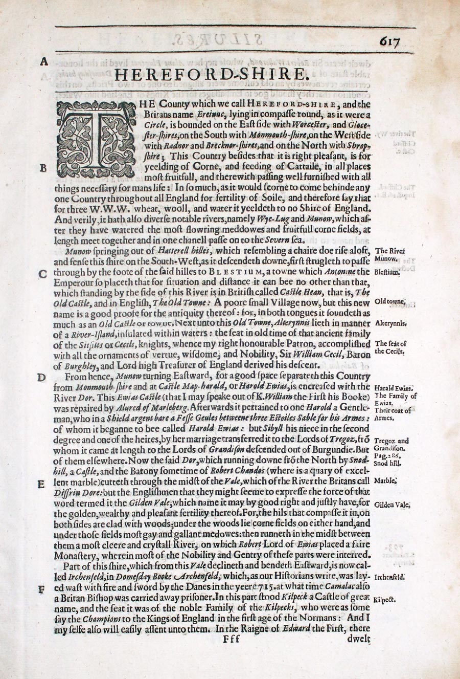
Herefordshire text from Camden's Britannia by William Camden 1637
32828 Herefordshire, William Camden, 1637. Price: 9.00
HEREFOR-DSHIRE
Pages 617 - 625 inclusive describing the county in English. About 13 x 8 inches. Good condition.
From: Camden’s Britannia

19h Century - Early Hand Colouring
-
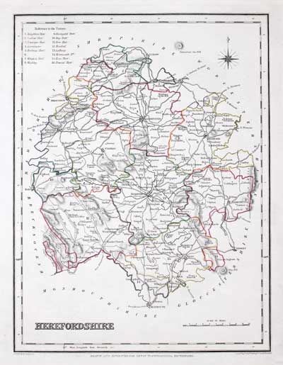
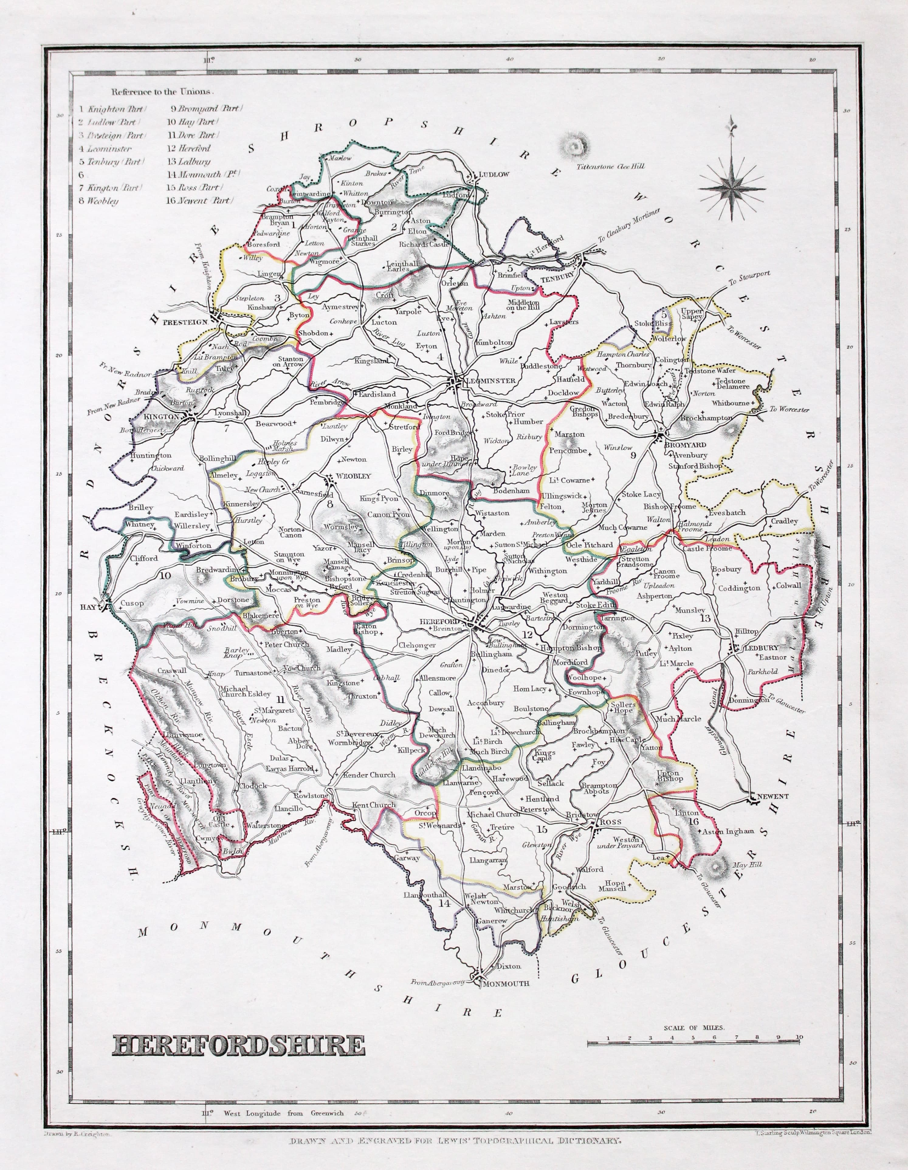
Map of Herefordshire by Samuel Lewis 1848
32912 Herefordshire Samuel Lewis, 1848. Price: 20.00
HEREFORDSHIRE
A county map drawn by R. Creighton and engraved by T. Starling. Reference to the Unions. 6 3/4 x 9 inches. Original outline hand colouring. Good clean condition. Straight from the atlas and not sold as a single map before now.
From: Lewis' Atlas to the Topographical Dictionaries of England and Wales

19th Century
-
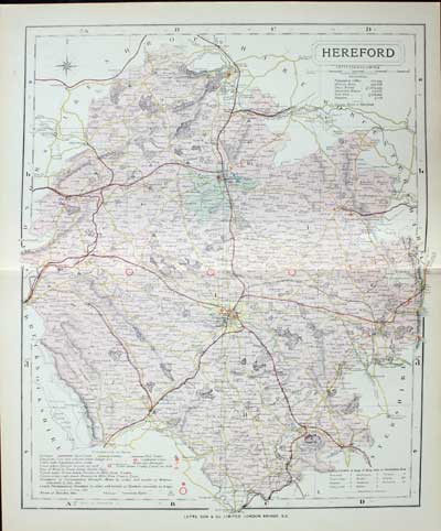
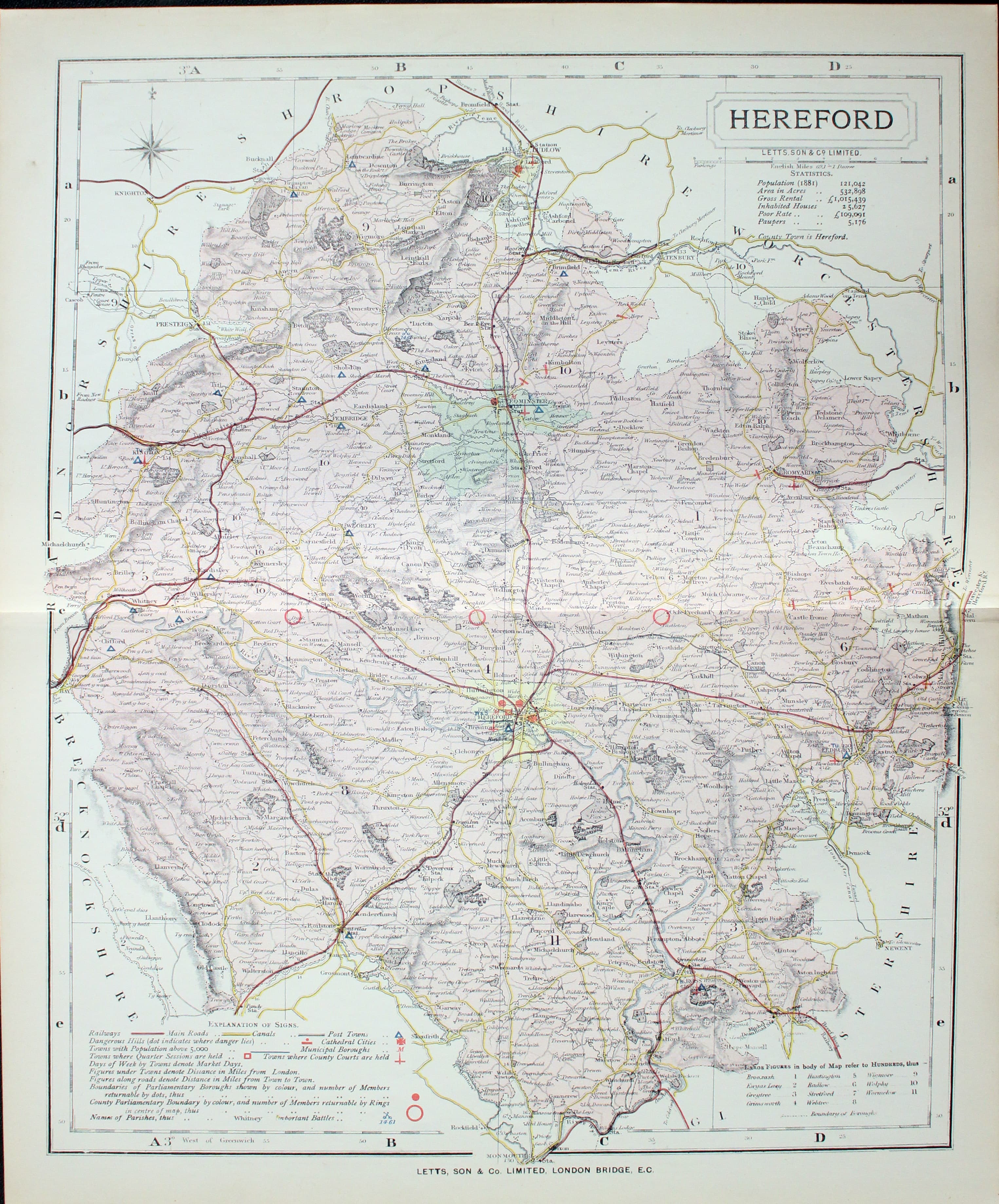
Map of Herefordshire by Thomas Letts
32969 Herefordshire, Thomas Letts, 1884. Price: 26.00
HEREFORD
A detailed chromolithograph map of the county. Explanation plus statistics concerning Population, Area, Inhabited Houses, Poor Rate and Paupers. 12 3/4 x 15 1/2 inches. Original centre fold. Imprint of Letts & Son beneath. Fine clean condition. Straight from the atlas so never previously been sold as a single map.
From: Lett’s Popular County Atlas

18th Century
-

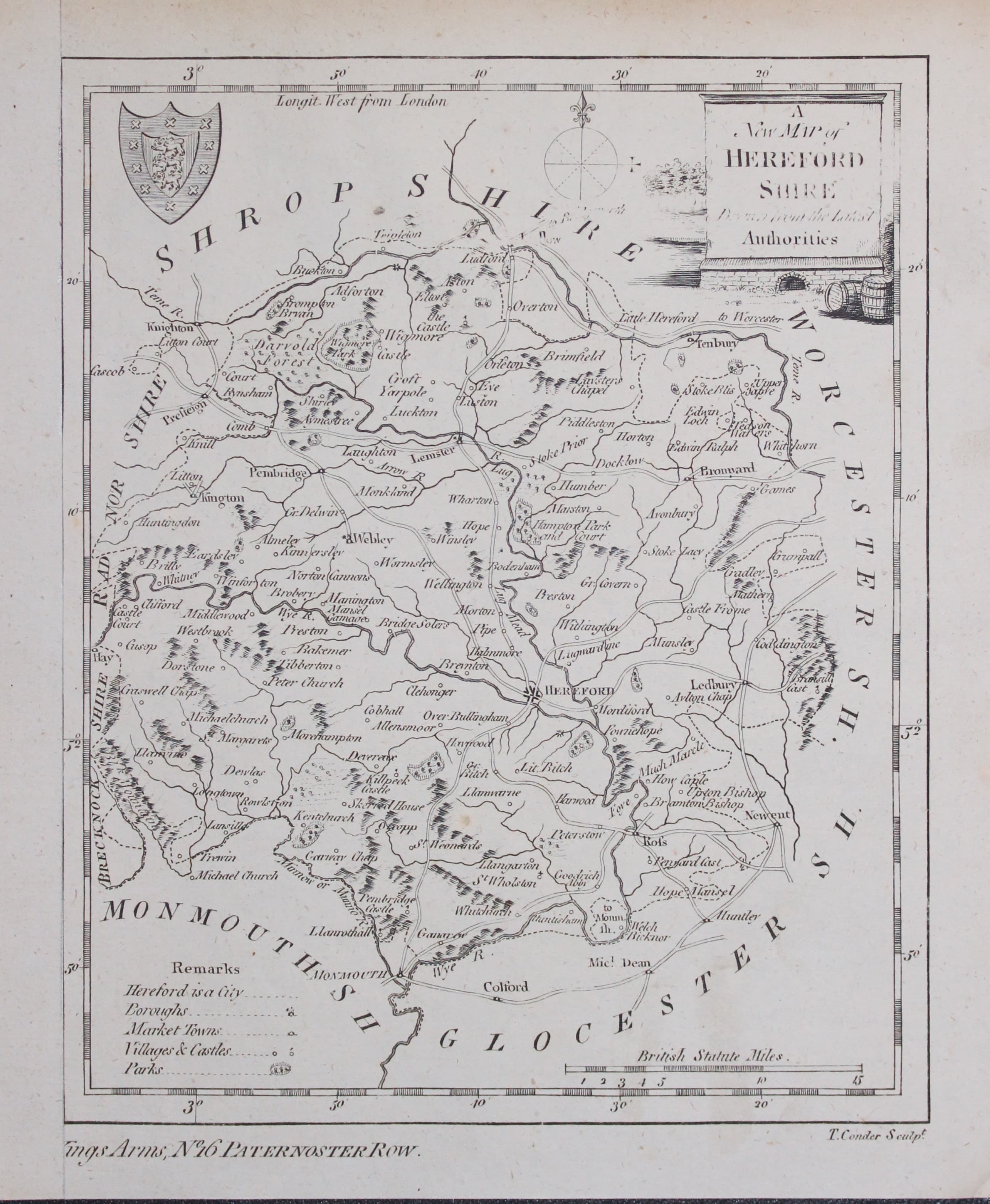
Map of Herefordshire George A Walpole 1794
33181 Herefordshire, George Augustus Walpole, 1794. Price: 24.00
A NEW MAP OF HEREFORD SHIRE
An engraved map of the county with a pictorial cartouche/ Remarks, scale and coat of arms. 6 1/4 x 7 3/4 inches. Uncoloured. Some text in the title cartouche a little light. Remargined on one side which is quite normal. Good condition.
From: The New and Complete British Traveller

19th Century
-

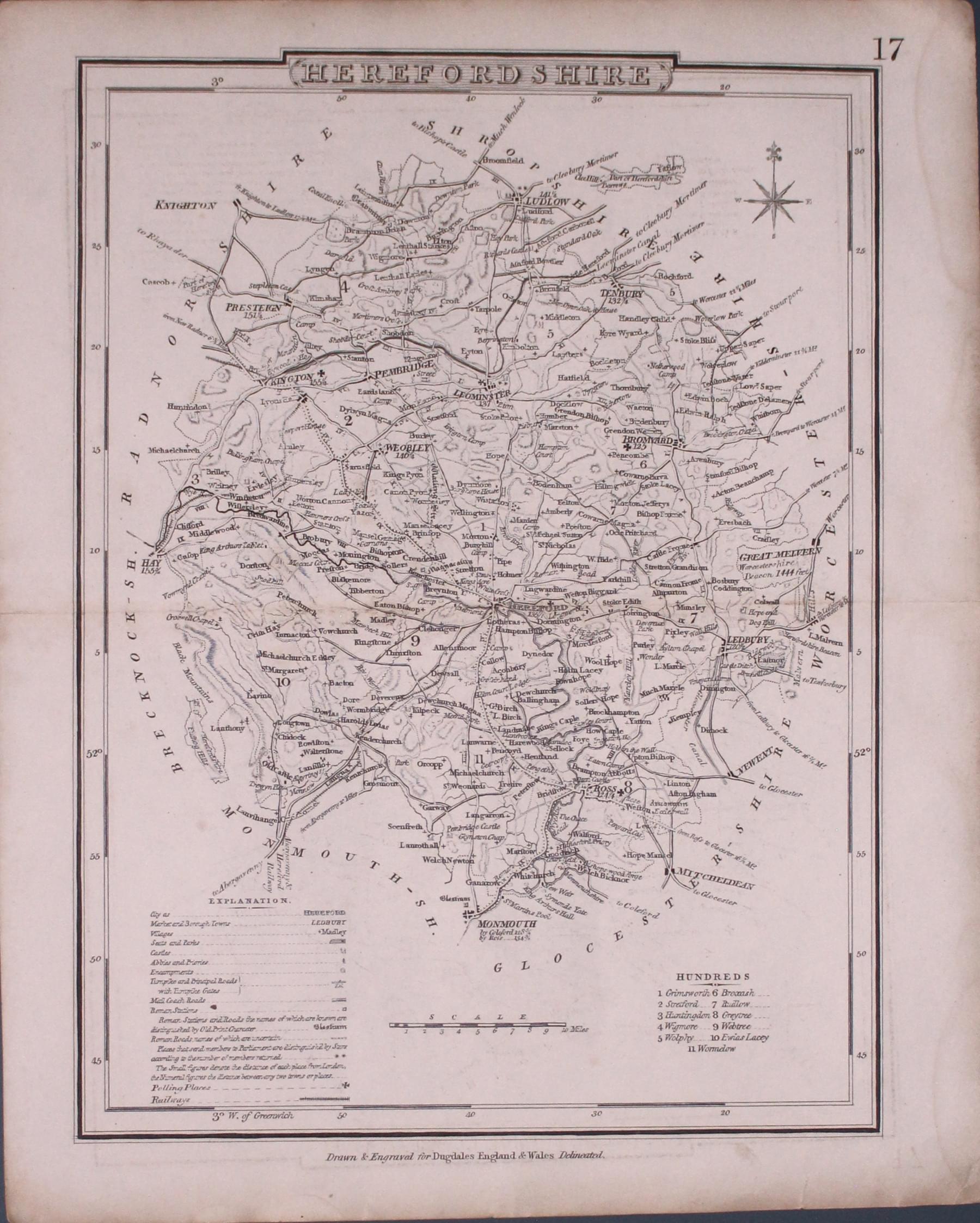
Map of Herefordshire Cole & Roper c.1840
33235 Herefordshire, Cole / Roper c.1840. Price: 8.00
HEREFORDSHIRE
A good detailed engraved county map. Explanation, scale and list of hundreds. 7 x 9 inches. This is the later edition of the map first published in 1810. The names of Cole and Roper no longer appear. Railways have been added. Number 17 appears in the top margin. Original centre fold. Small nick on the edge of the bottom margin otherwise good.
From: Dugdales England and Wales Delineated

19th Century - Original Hand Colouring
-
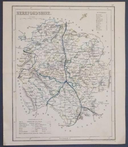
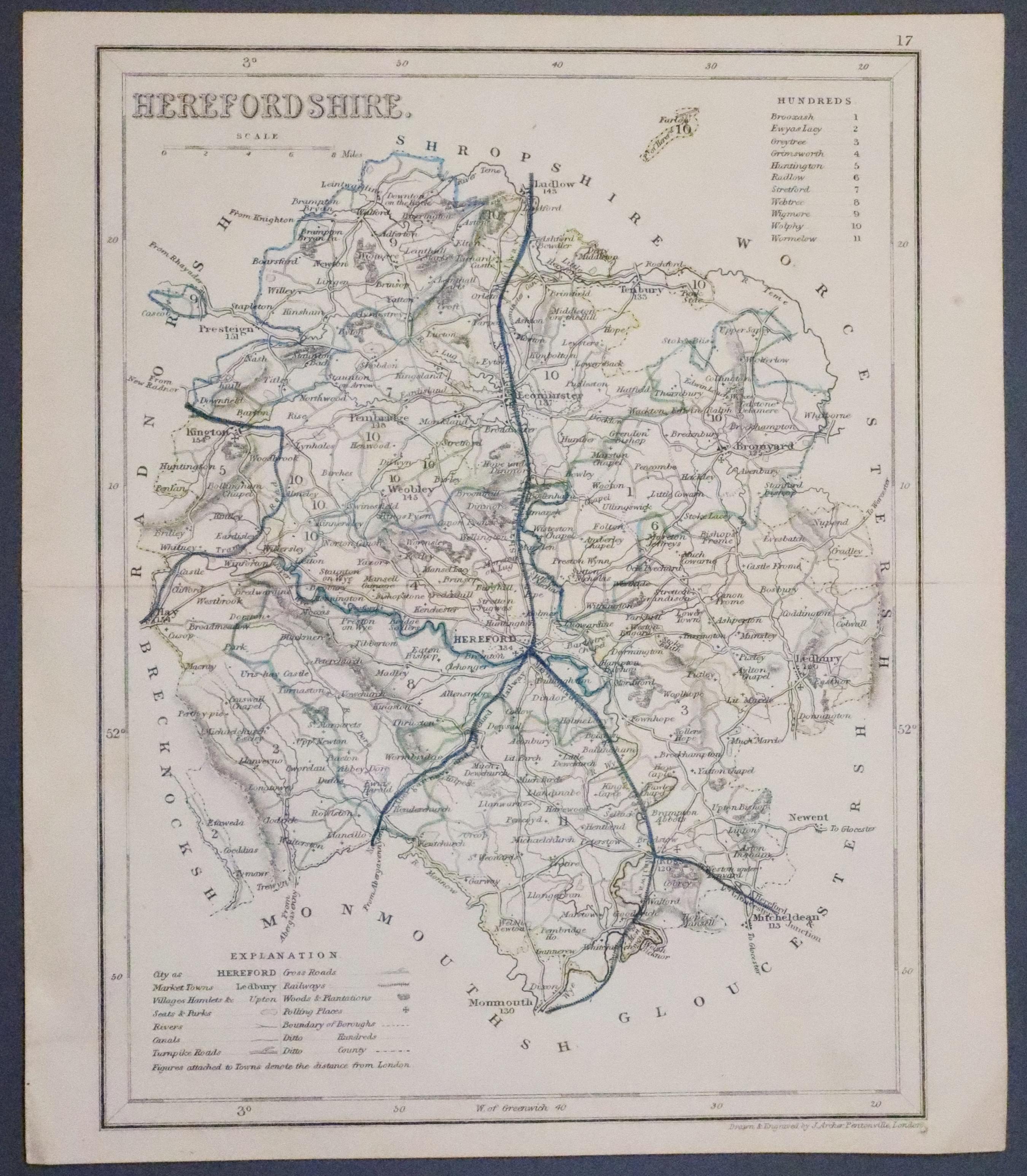
Herefordshire, Joshua Archer c.1843
33311 Herefordshire, Joshua Archer, c.1843. Price: 13.50
HEREFORDSHIRE
A detailed engraved map with explanation and list of divisions. 7 x 9 1/4 inches. Original outline hand colouring. Original centre fold. Good condition.
From Dugdale’s England and Wales Delineated

17th Century - First Edition
-
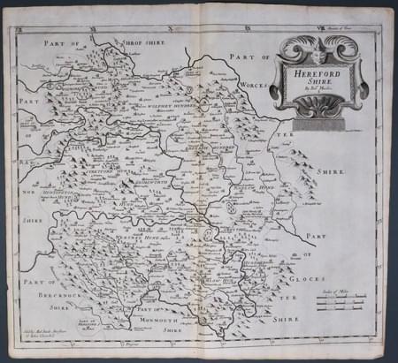
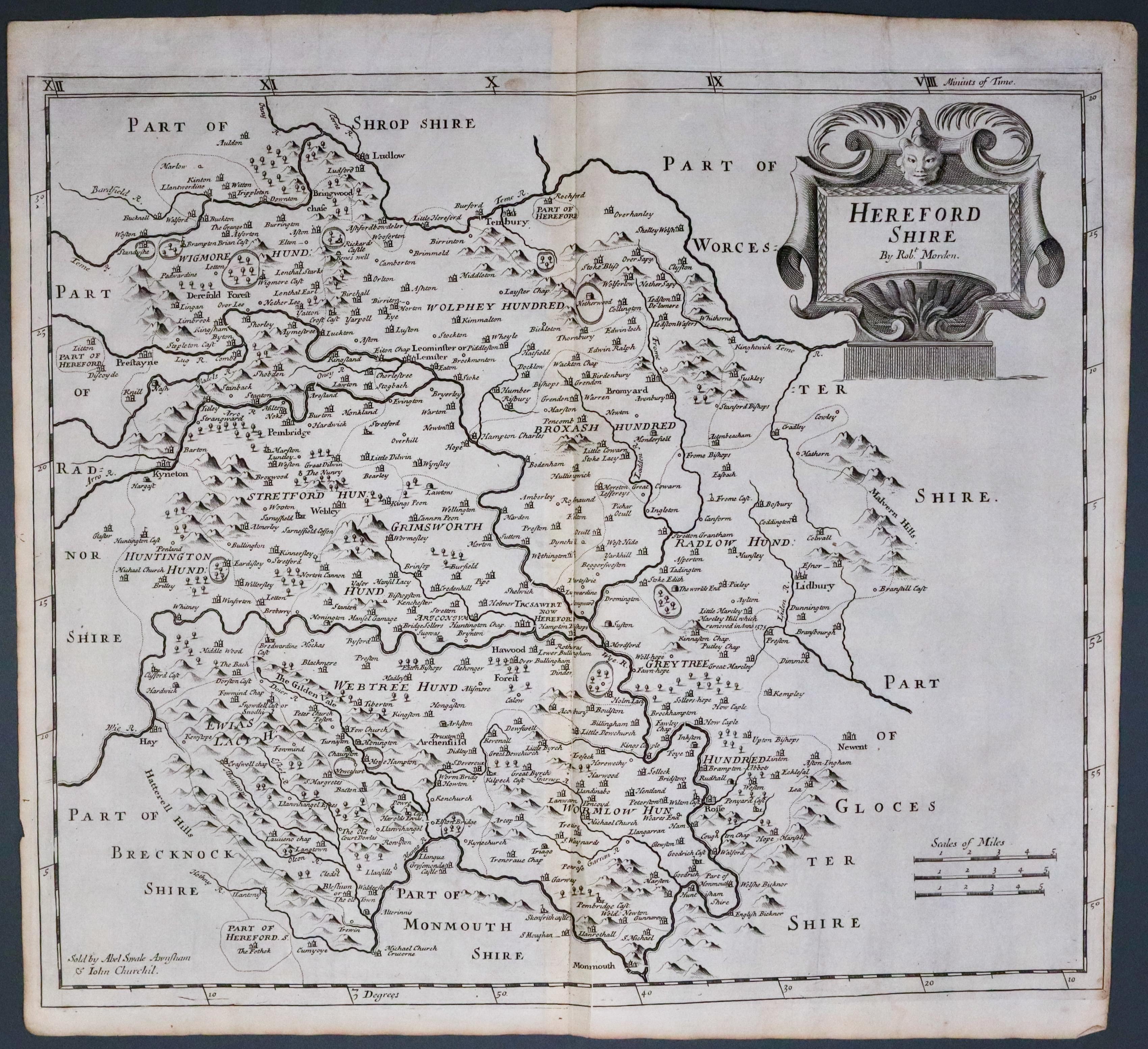
Huntingdonshire, Robert Morden 1695
33509 Herefordshire, Robert Morden 1695. Price: 70.00
HEREFORD SHIRE BY ROBT. MORDEN
The FIRST EDITION of this good engraved late 17th century map of the county map of the county embellished with a decorative title cartouche. Three scales. Imprint of the publishers Abel Swale with Awnsham and John Churchill. 16 1/2 x 14 inches, 420 x 360 mm. Uncoloured. The right hand blank margin tapers towards the bottom which is fairly common with the first edition. Nice dark impression. This map has been taken straight from the atlas and therefore not previously offered for sale as a single map.
From: Camden's Britannia

