Antique Maps of Guyana - Peru - Venezuela
Tierra de Fuego - Falkland Islands
Richard Nicholson of Chester
A World of Antique Maps and Prints
Established in 1961
All the Maps on this page are guaranteed to be genuine early specimens
published in or around the year stated
Photo by Tom Podmore on Unsplash
The following are on a Second Page
GUYANA
18th Century
-

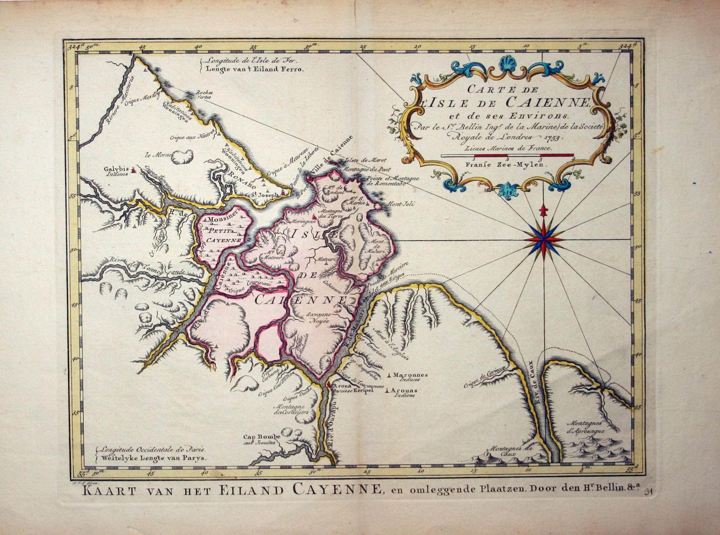
Cayenne, Jacques Nicolas Bellin, c.1753
28844 Cayenne, Jacques Nicolas Bellin, c.1753. Price: 45.00
CARE DE ISLE DE CAIENNE, ET DE SES ENVIRONS. PAR LE SR. BELLIN INGR. DE LA MARINIE DE LA SOCIETE ROYALE DE LONDRES 1753
A Dutch version of this engraved map of the islnd and port of Cayenne in French Guiana. Decorative title cartouche. 11 x 8 3/4 inches. Hand coloured. Two small tears in the bottom blank margin well away from the engraved area. Otherwise nice clean condition.
19th Century
-
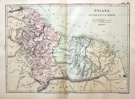
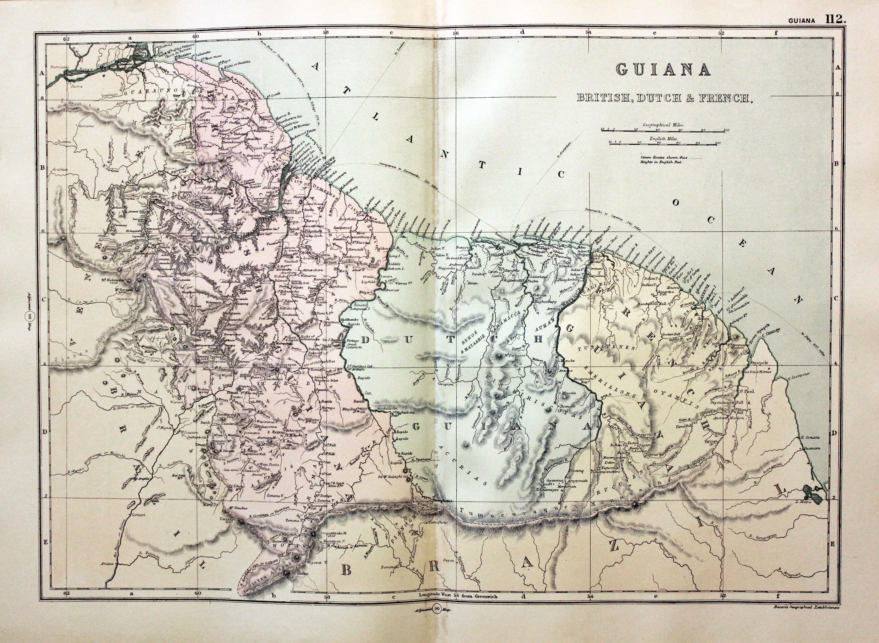
Guiana, George Washington Bacon, 1891
30482 Guyana, George Washington Bacon, 1891. Price: 14.00
GUIANA BRITISH, DUTCH & FRENCH. .
A detailed colour printed map of the country. 16 3/4 x 11 1/2 inches. Good blank margins. Good clean condition.
From Complete Atlas of the World
18th Century - Early Hand Colouring
-

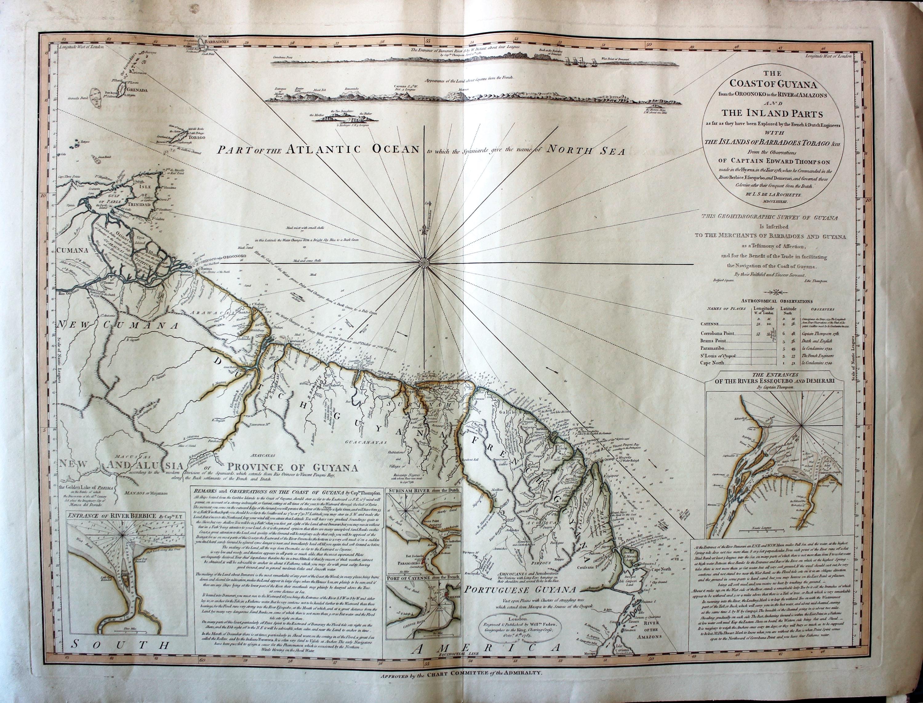
Coast of Guiana, Louis S. d'Arcy Rochetts 1783
31340 Coast of Guyana, Louis S. d'Arcy Rochette, c.1783. Price: 165.00
THE COAST OF GUYANA FROM THE OROONOKO TO THE RIVER OF AMAZONS AND THE INLAND PARTS AS FAR AS THEY HAVE BEEN EXPLOTED BY THE FRENCH ENGINEERS WITH THE ISLANDS OF BARBADOES TOBAGO &CA. FROM THE OBSERVATIONS OF CAPTAIN EDWARD THOMPSON MADE IN THE HYAENA, IN THE YEAR 1781, WHEN HE COMMANDED IN THE RIVERS BERBICE, ESSEQUEBO AND DEMERARI AND GOVERNED THOSE COLONIES AFTER THEIR CONQUEST FROM THE DUTCH. BY L. S. DE LA ROCHETTE MDCCLXXXIII
An interesting detailed chart of the region with four inset maps. Shown is the coast of Guyana from the Oronoko River to the River of the Amazons and inland parts explored by the French and Dutch engineers. Islands of Barbadoes, Tobago, Grenada and Trinidad. Compass rose with rhumb lines. Panels of text. A circular panel bears title with the date of 1783. 26 1/2 x 20 inches. Original outline hand colouring. Very faint water stain in the top left hand blank margin otherwise nice clean condition.
18th Century - Early Hand Colouring
-

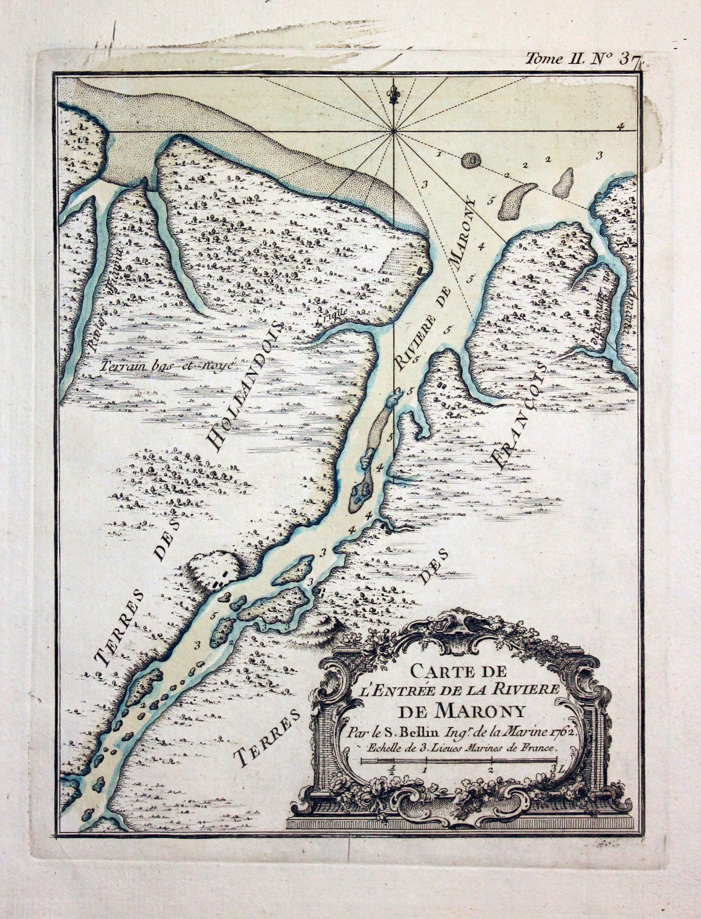
Maroni River South America J. N. Bellin 1764
31996 Marowijne River, Jacques Nicolas Bellin, 1764. Price: 45.00
CARTE DE L’ENTRÉE DE LA RIVIERE DE MARONY PAR LE S. BELLIN INGR. DE LA MARINE 1762
An engraved chart of the Maronior or Marowijne River that forms the border between French Guiana and Suriname. Embellished with an uncoloured rococo cartouche. 6 1/2 x 8 1/4 inches. Original blue outline and wash colouring. Fine clean condition.
From: Le Petit Atlas Maritime Volume 2 map number 37
18th Century - Early Hand Colouring
-

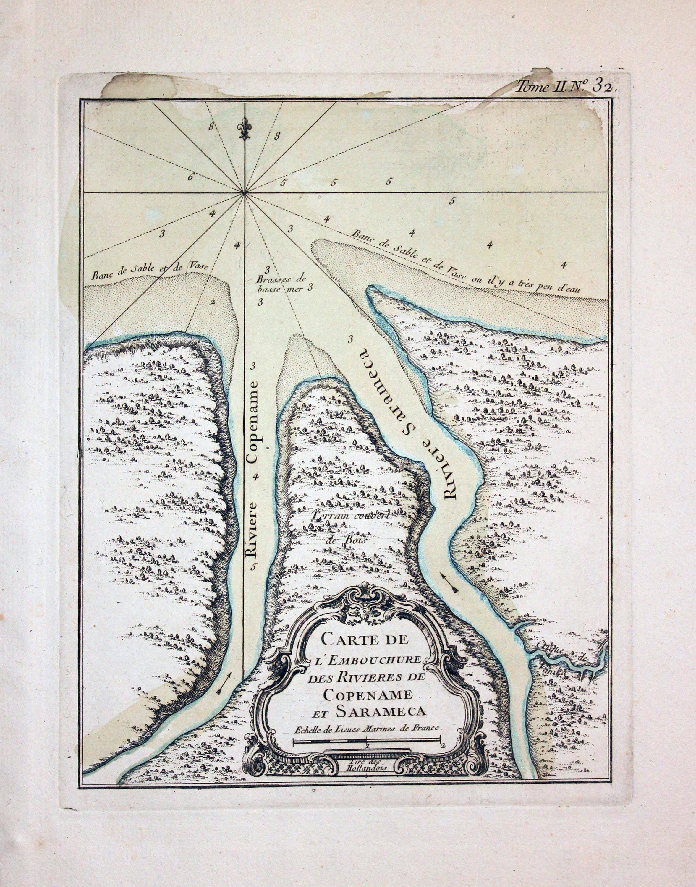
Copename and Sarameca Rivers J. N. Bellin 1764
31997 Copename and Sarameca Rivers, Jacques Nicolas Bellin, 1764. Price: 45.00
CARTE DE L’EMBOUCHURE DES RIVIERES DE COPENAME ET SARAMECA
An engraved chart of the Copename and Sarameca River deltas. Embellished with an uncoloured rococo cartouche. 6 1/2 x 8 1/4 inches. Original blue outline and wash colouring. Fine clean condition.
From: Le Petit Atlas Maritime Volume 2 map number 32
PERU
19th Century - Early Hand Colouring
-

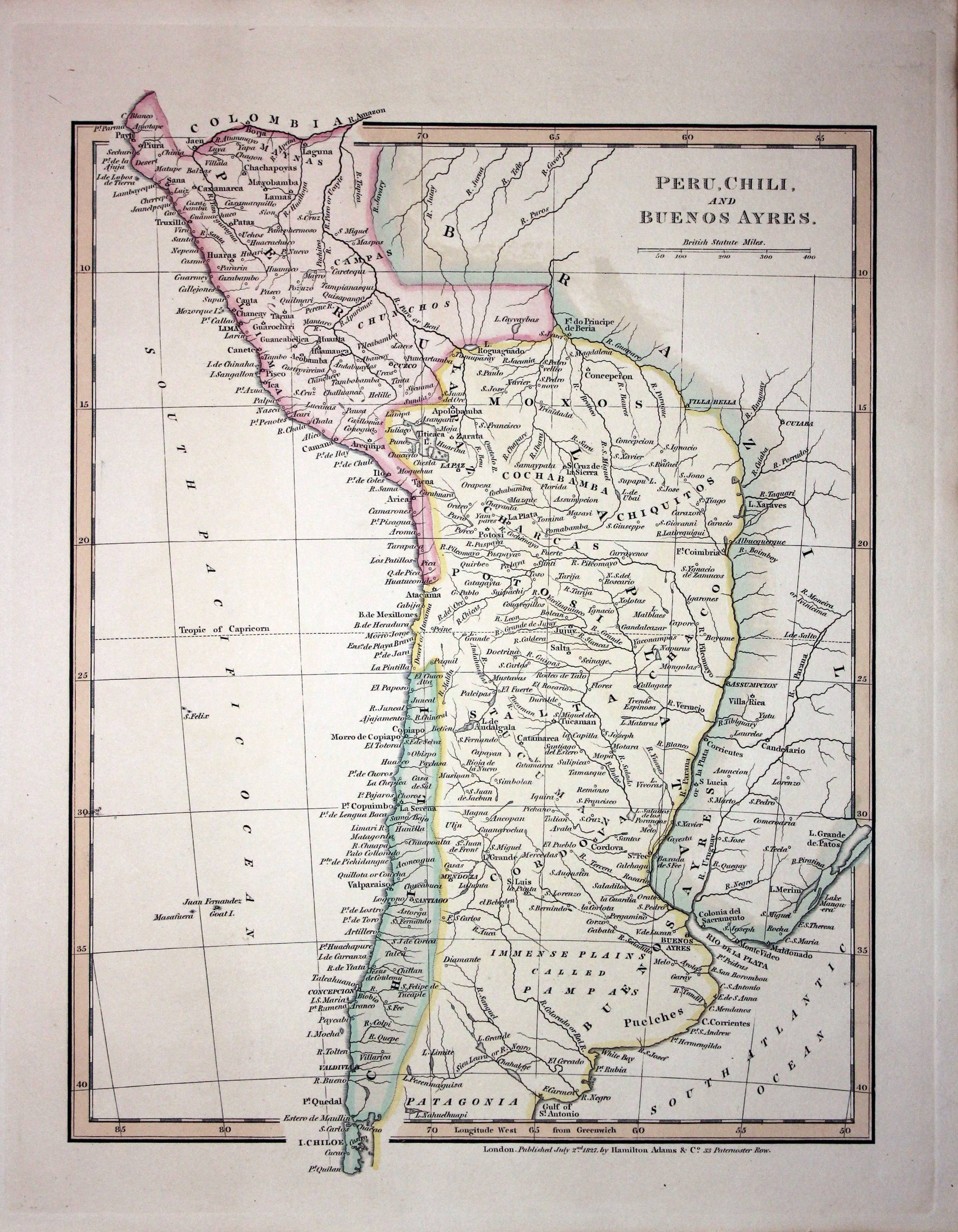
Peru and Chile, Robert Wilkinson 1837
17038 Peru and Chile, Robert Wilkinson 1837. Price: 42.00
PERU, CHILI AND BUENOS AYRES
A good engraved map published by Hamilton Adams & Co. 9 x 11.25 inches. Original outline and wash colouring. Fine condition.
From: A General Atlas
19th Century - Early Hand Colouring
-

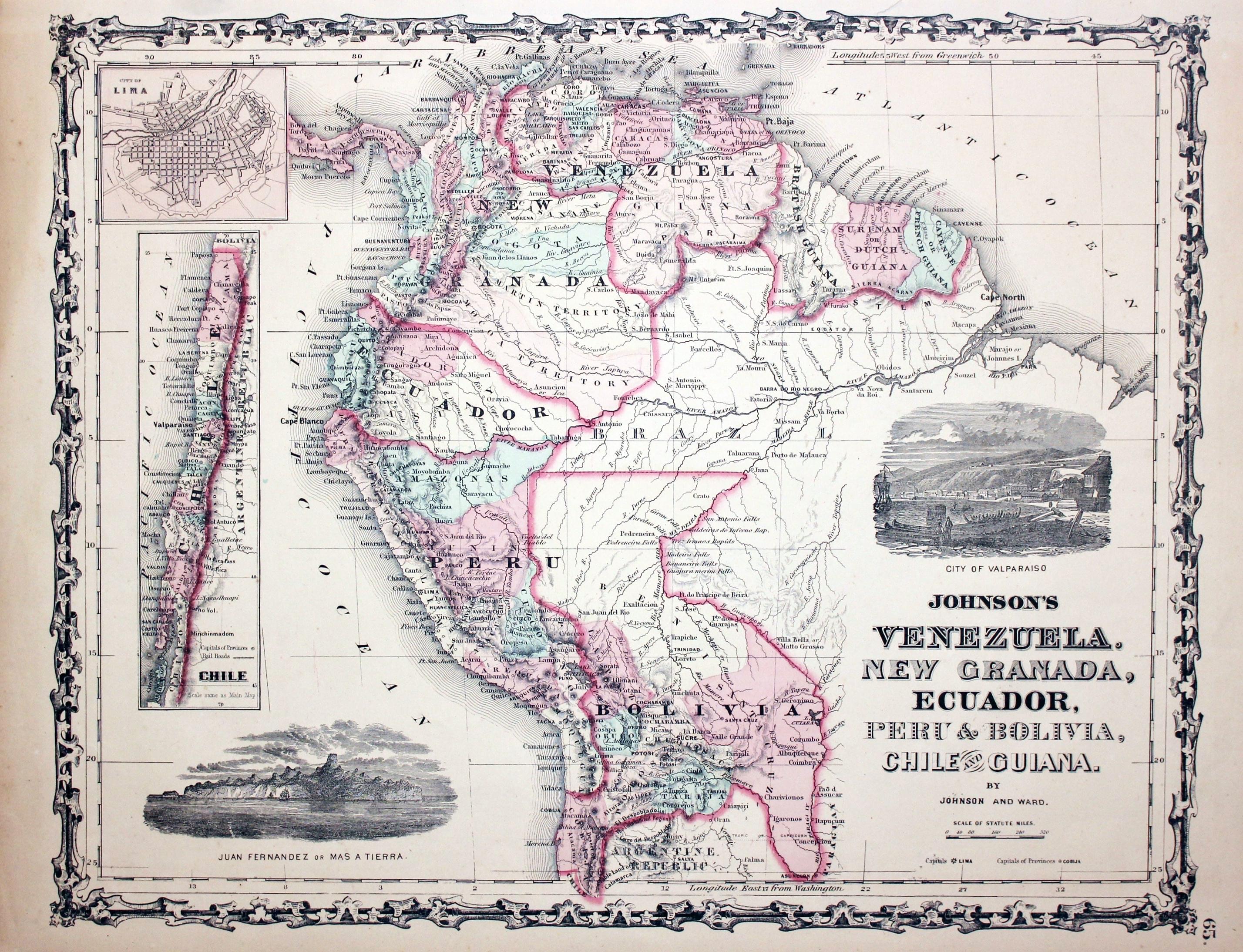
Venezuela, Peru and Bolivia, Johnson and Ward, 1864
23287 Venezuela, Peru and Bolivia, Johnson and Ward, 1864. Price: 44.00
JOHNSON'S VENEZUELA. NEW GRANADA, ECUADOR, PERU & BOLIVIA, CHILE AND GUIANA
A lithograph map of the countries. Embellished with two uncoloured vignette views of Juan Fernandez or Mas a Tierra plus City of Valparaiso. Chile is shown as an inset map. Insel plan of Lima. 16 x 12 1/2 inches. Original outline and wash hand colouring. Good condition.
From: Johnson's Family Atlas
18th Century - Miniature
-

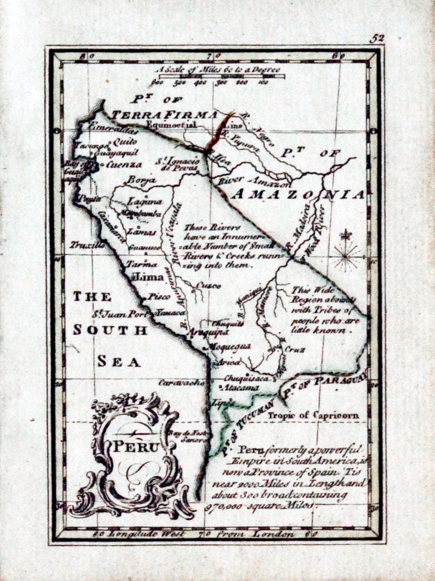
Peru, John Gibson, 1758
23915 Peru, John Gibson, 1758. Price: 44.00
PERU
A miniature engraved map. Uncoloured rococo cartouche. Engraved note. 2 1/2 x 3 1/2 inches. Original outline hand colouring. Good condition.
From: Atlas Minimus
19th Century - Early Hand Colouring
-

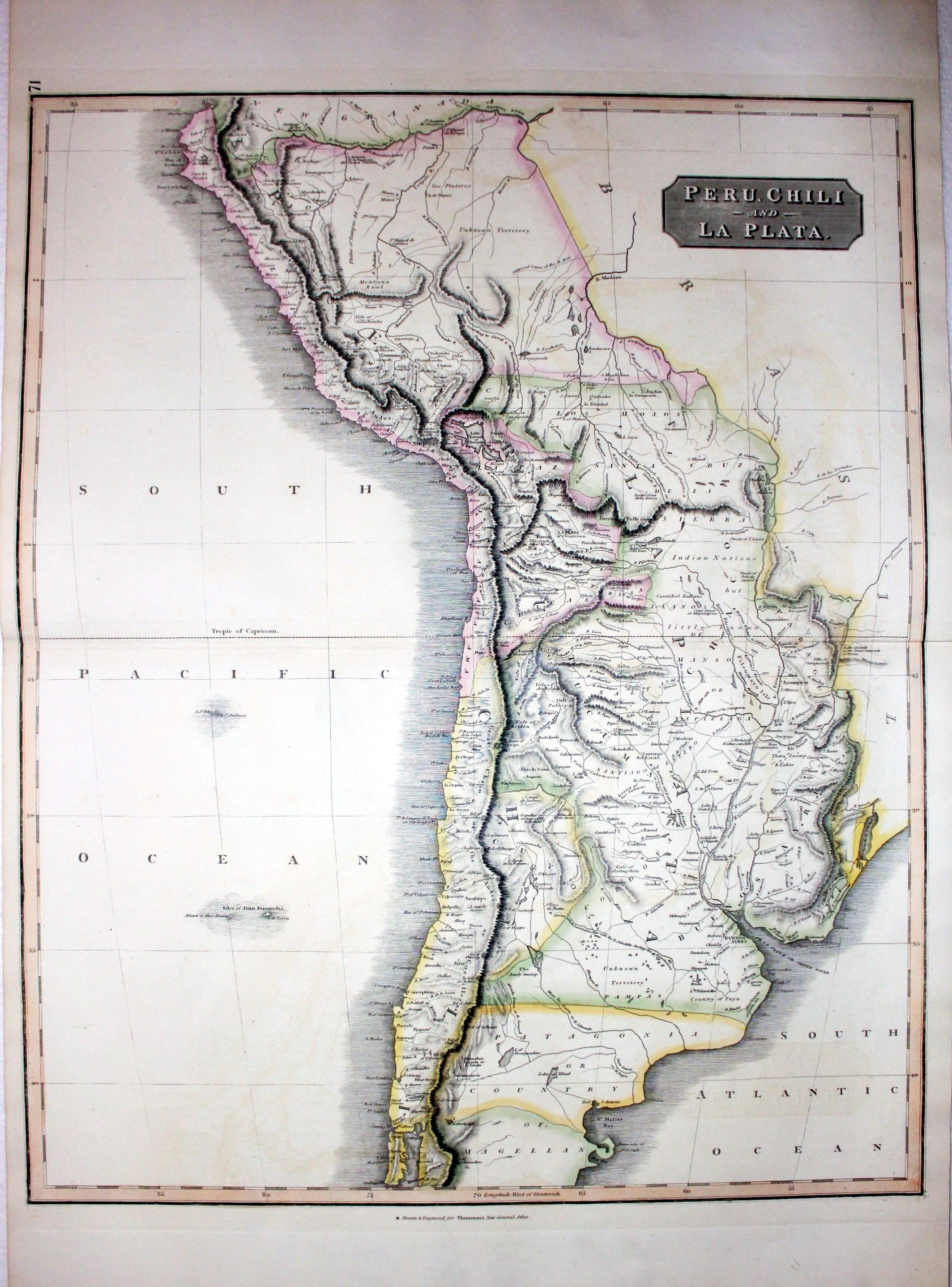
Peru, Chile and La Plata, John Thomson, 1827
25609 Peru, Chile and La Plata, John Thomson, 1827. Price: 75.00
PERU, CHILI AND LA PLATA
A good engraved map of the region. 19 x 24 inches, 500 x 610 mm. Original hand colouring. Fine clean crisp condition.
From: A New General Atlas
19th Century - Early Hand Colouring
-

Peru and Bolivia, John Dower, 1834
25653 Peru and Bolivia, John Dower, 1834. Price: 45.00
PERU AND BOLIVIA
An engraved map within a simple patterned border. 16 x 13 inches. Original outline and wash hand colouring. Fine condition.Paper watermarked J. Whatman 1833. Imprint of the publisher Henry Teesdale dated 1834 at 302 High Holborn, London.
From: A New General Atlas of the World
VENEZUELA
19th Century - Early Hand Colouring
-
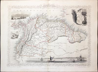
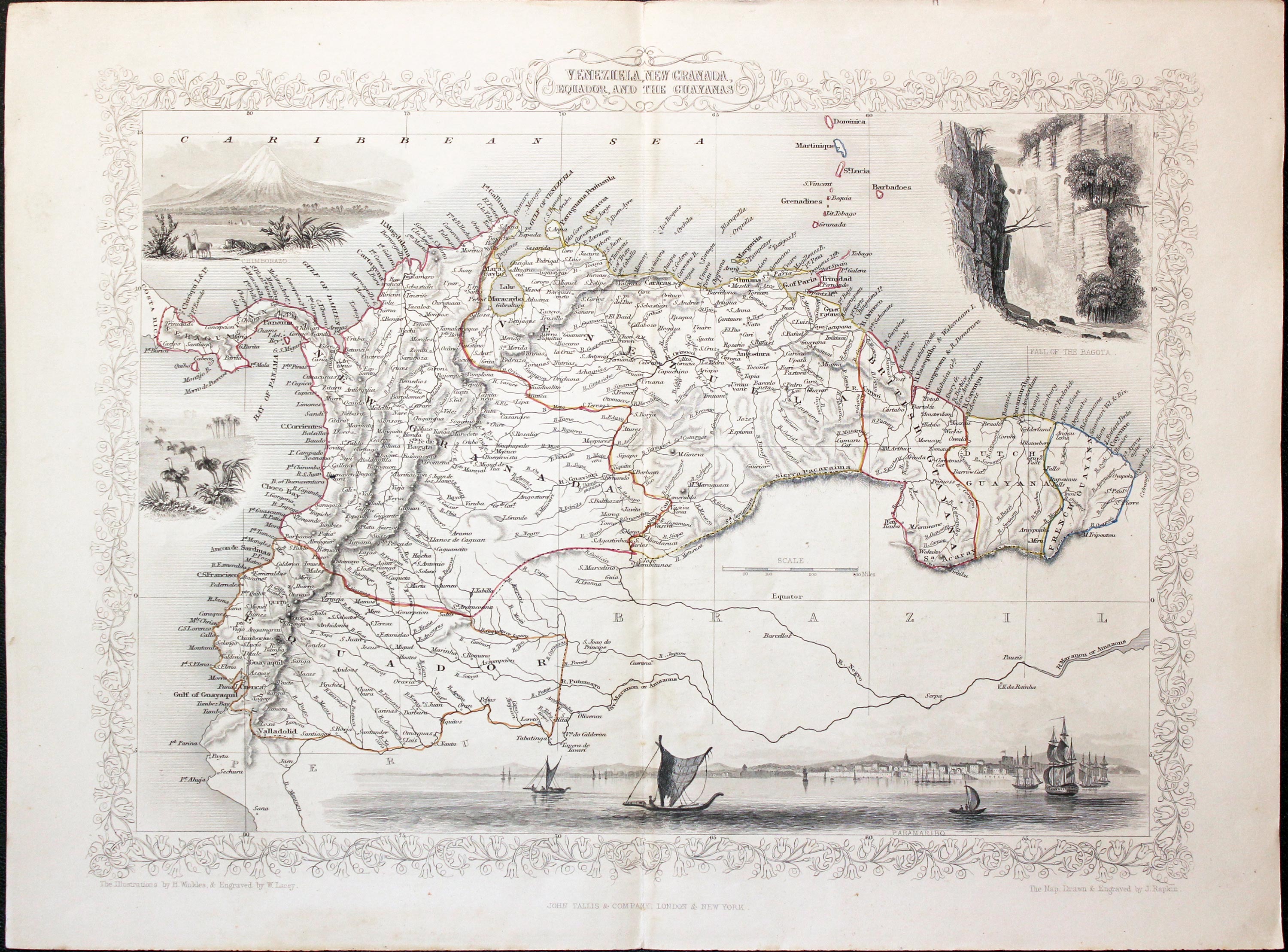
Venezuela, New Granada John Tallis 1851
25762 Venezuela, Colombia, Equador... John Tallis, 1851. Price: 68.00
VENEZUELA, NEW GRANADA, EQUADOR AND THE GHAYANAS
An attractive decorative map of current day Venezuela, Colombia, Equador, Suriname, Guyana and French Guinea. Embellished with vignette views of Paramaribo, Fall of the Bagota, Chimborazo and ostriches. Decorative floral border. Centre fold as published. 12 3/4 x 9 1/2 inches. Original outline hand colouring. Good clean undamaged condition.
From: Tallis's Illustrated Atlas, and Modern History of the World
TIERRA DEL FUEGO
18th Century - Early Hand Colouring
-

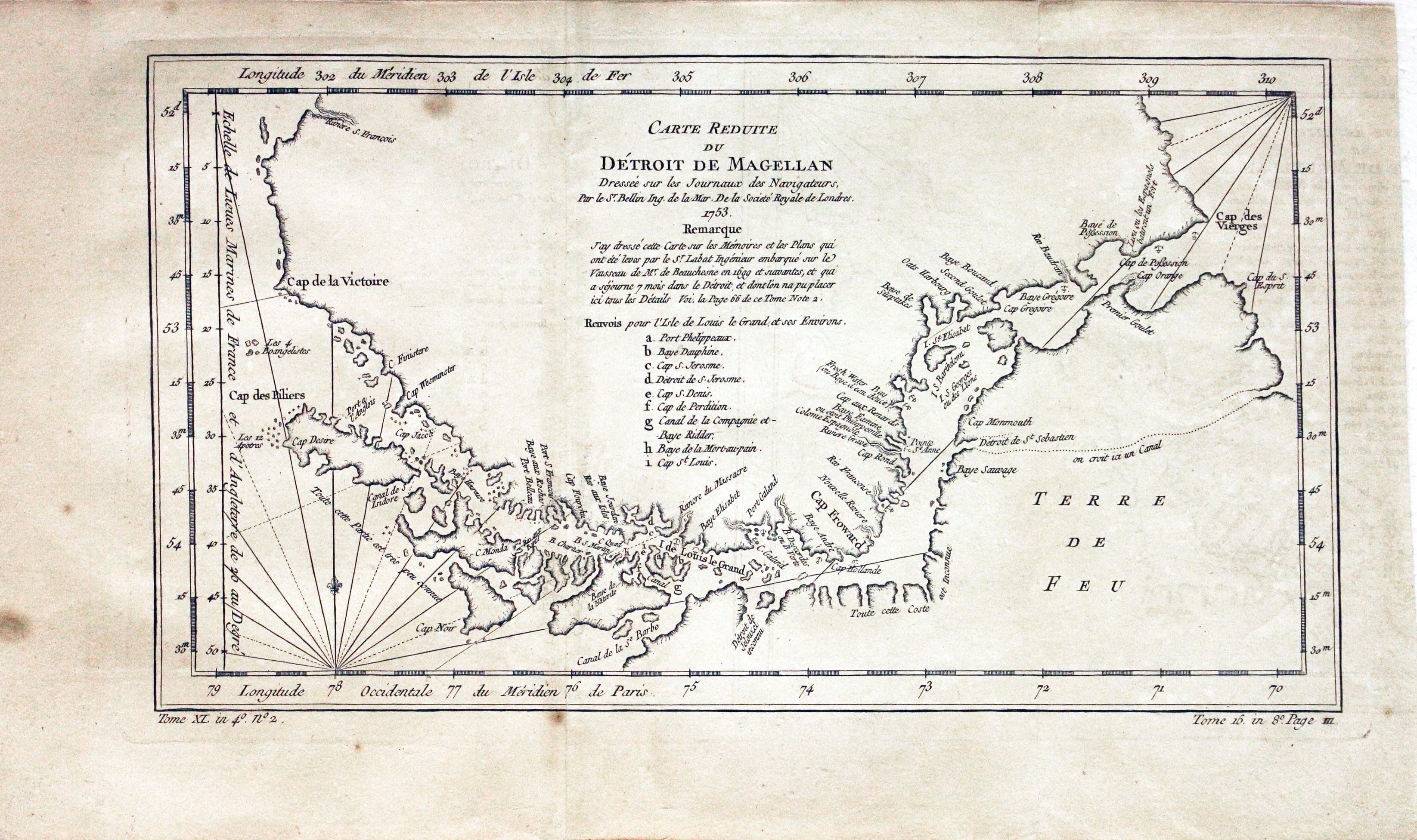
Magellan Straits, Jacques Nicholas Bellin, 1753
29557 Magellan Straits, Jacques Nicholas Bellin, 1753. Price: 38.00
CARTE REDUITE DU DETROIT DI MAGELLAN......1753
An interesting engraved map of the Straits of Magellan by this French cartographer. 13 1/2 x 7 1/2 inches. Small sit t the top of one of the two folds. Lightly toned all over. Three spots, one of which is in the map area.
18th Century
-

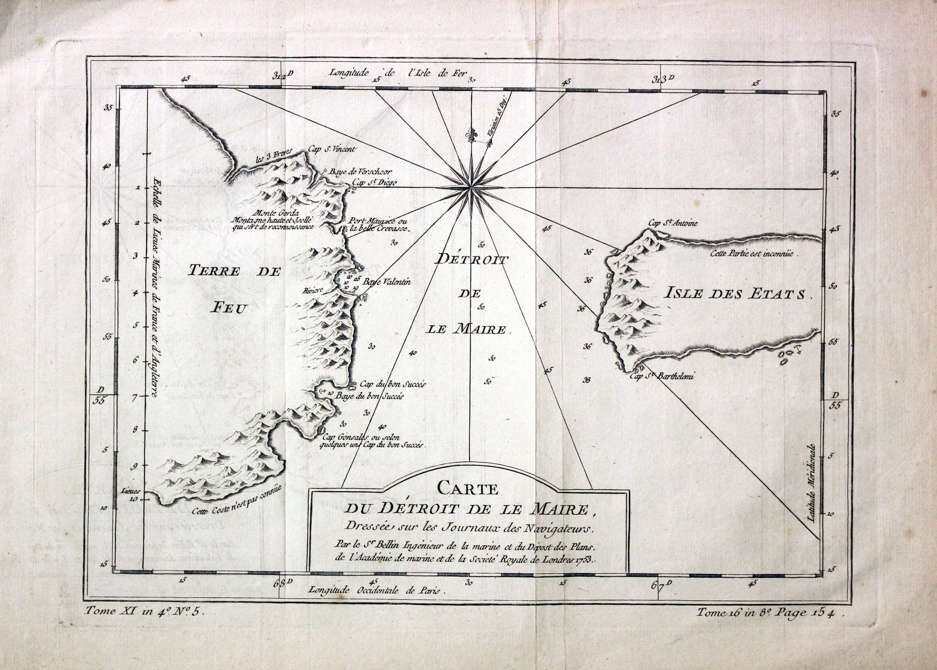
Maire Straits, Jacques Nicolas Bellin c.1758
31465 Maire Straits, Jacques Nicolas Bellin c.1758. Price: 30.00
CART DU DETROIT DE LA MAIRE Chart of the Le Maire Straits on the eastern extremity of Argentina and Isla los Estados . Uncoloured rococo cartouche. 11 1/2 x 7 1/2 inches. Uncoloured. Two original vertical fold creases. Good clean condition.
From: Histoire générale des voyages by Antoine Francois Prevost
Jacob Le Maire and Willem Schouten discovered the strait in 1616, while attempting to find a navigation link between the Atlantic and Pacific Oceans, and shortly before their discovery of Cape Horn
FALKLAND ISLANDS
19th Century - Early Hand Colouring
-

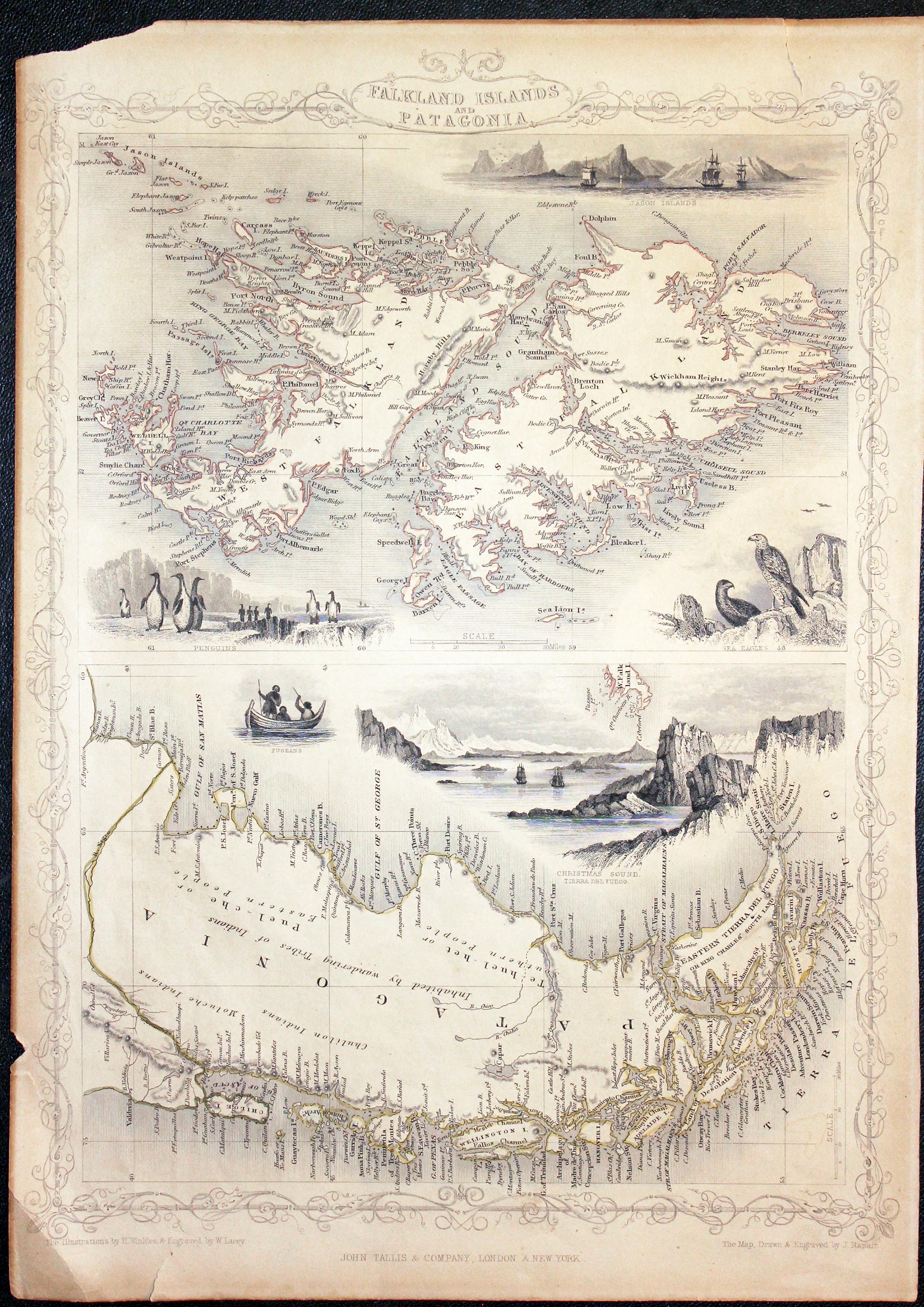
Falkland Islands and Patagonia, John Tallis 1851
24722 Falkland Islands and Patagonia, John Tallis c.1851. Price: 22.00
FALKLAND ISLANDS AND PATAGONIA
Two map on one sheet set within a patterned border. The upper map is of the Falkland Islands and is embellished with three uncoloured vignette views of Jason Islands, Penguins and Eagles. The lower map of Patagonia is orientated with east at the top and is embellished with two uncoloured vignette view of Fugeons and Christmas Sound, Tierra del Fuego. Original outline hand colouring. 9 3/4 x 13 inches, 240 x 330 mm. Lightly toned all over. Small piece missing from lower left hand blank margin with small tear. One inch year in top blank margin.
Special Price
