Antique Maps of the Caribbean
Richard Nicholson of Chester
A World of Antique Maps and Prints
Established in 1961
All the Maps on this page are guaranteed to be genuine early specimens
published in or around the year stated
WEST INDIES
18th Century - Early Hand Colouring
-
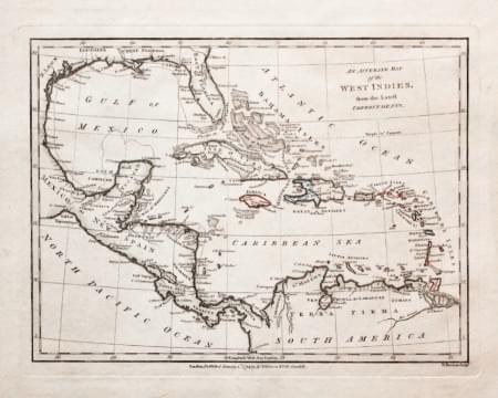
West Indies, Robert Wilkinson, 1794
29510 West Indies, Robert Wilkinson, 1794. Price: 76.00
AN ACCURATE MAP OF THE WEST INDIES FROM THE LATEST IMPROVEMENTS
The First Edition of this map showing central America and the West Indies, engraved by W. Harrison. 9 1/2 x 7 inches. Original outline and wash hand colouring. Good stout paper. Manuscript number 47 in blank margin. Good clean condition with no repairs. A nice specimen.
From: A General Atlas being A Collection of Maps of the World and Quarters the Principal Empires, Kingdoms &c, with their several Provinces & other Subdivisions, Correctly Delineated
19th Century
-
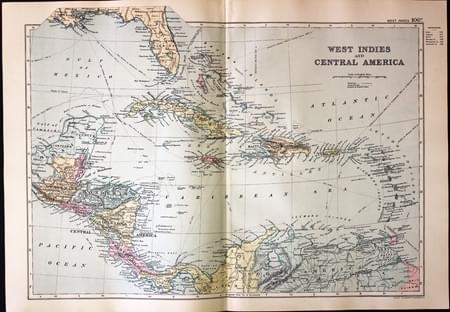
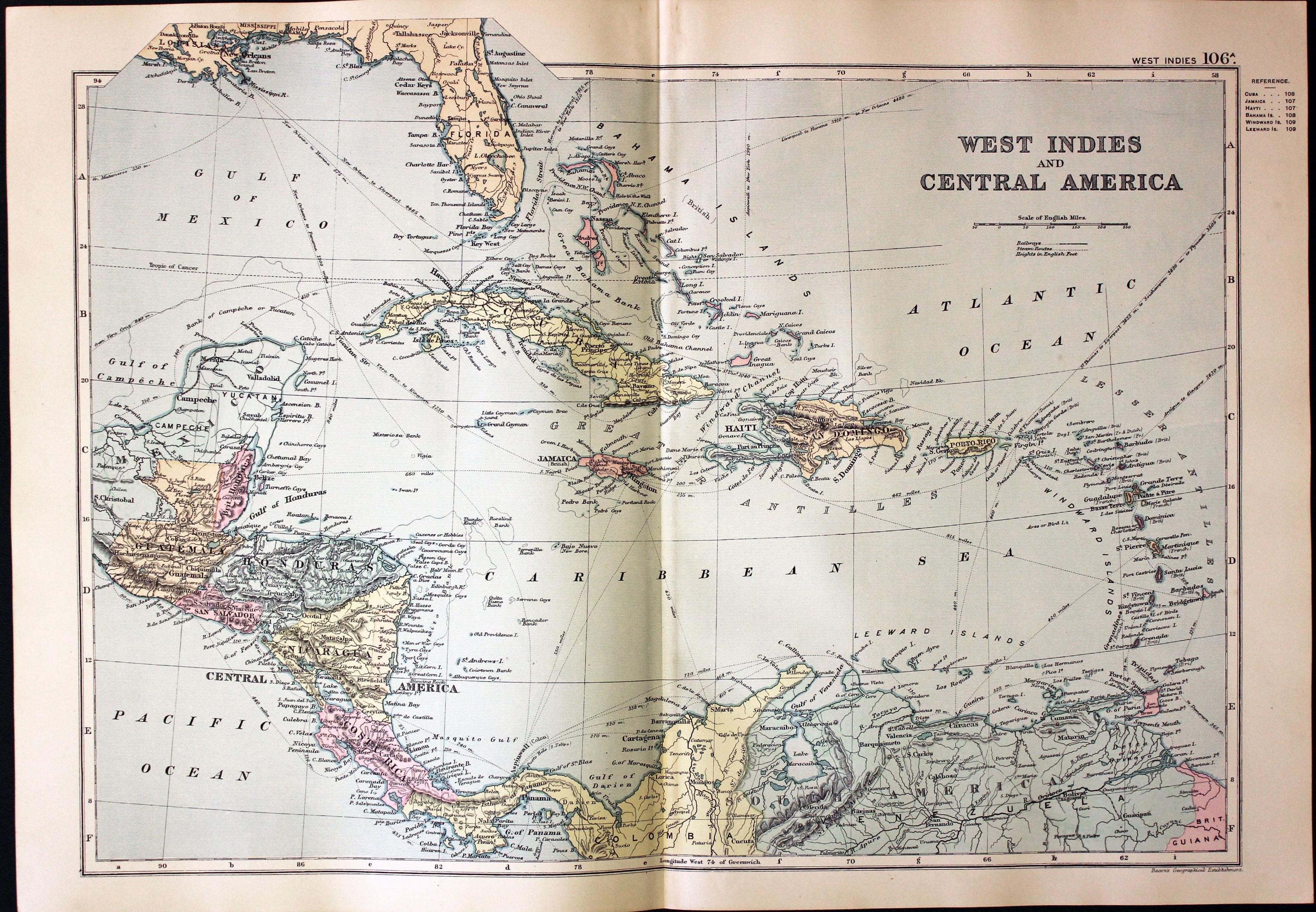
West Indies and Central America, George Washington Bacon, 1891
30845 West Indies and Central America, George Washington Bacon, 1891. Price: 24.00
WEST INDIES AND CENTRAL AMERICA
A detailed colour printed map of the region. Two inset maps of Environs of Hong Kong, Macao & Canton and Environs of Shanghai. 17 1/4 x 12 inches. inches. Good blank margins. Good clean condition.
From: Complete Atlas of the World
18th Century
-

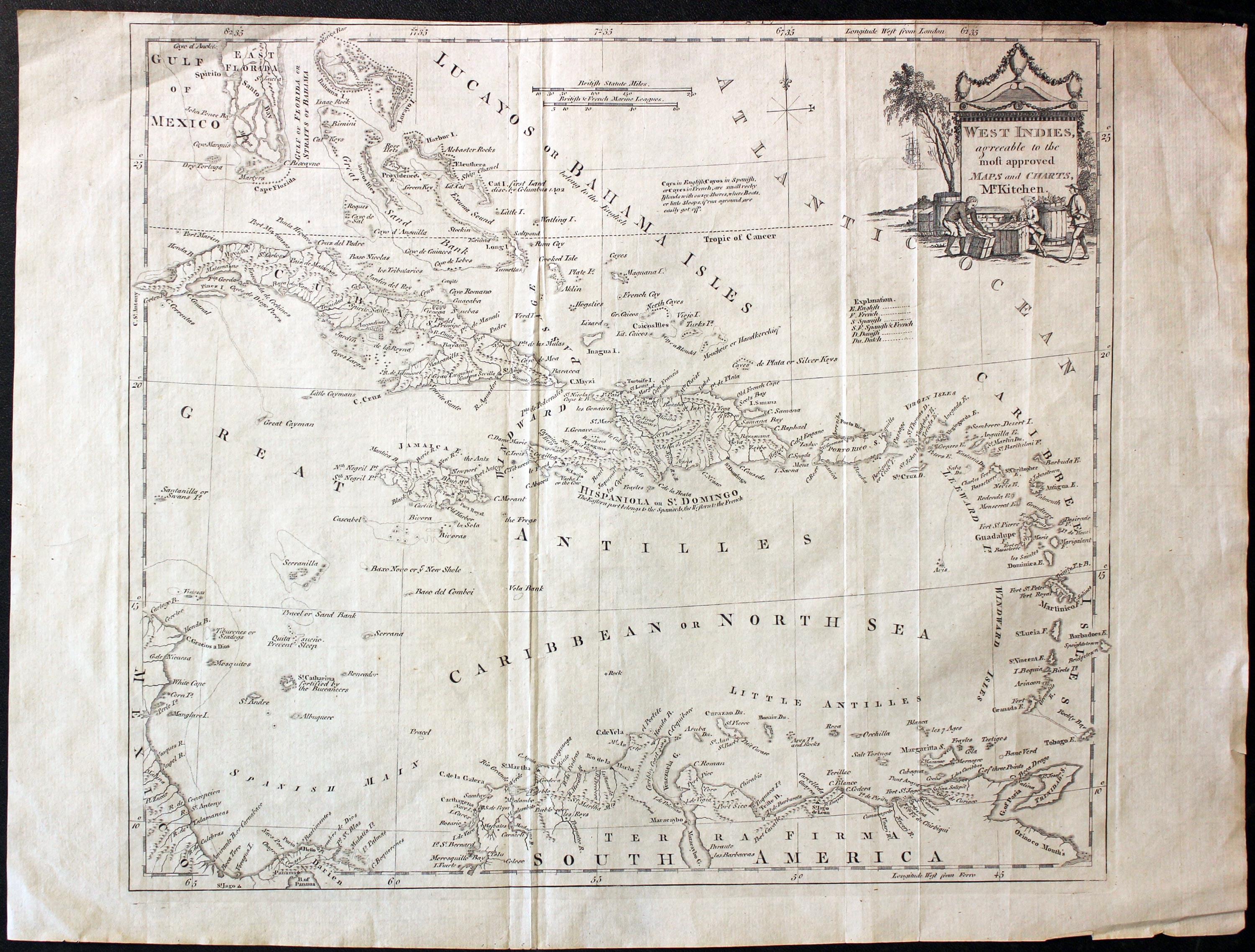
West Indies, Thomas Kitchin 1782
31234 West Indies, Thomas Kitchin, 1782. Price: 70.00
WEST INDIES AGREEABLE TO THE MOST APPROVED MAPS AND CHARTS, MR. KITCHEN
An engraved map of the West Indies embellished with a pictorial title cartouche showing three figures. 15 x 13 1/8 inches. Uncoloured. Little to no top blank margin. Original fold creases. Otherwise good condition.
19th Century
-
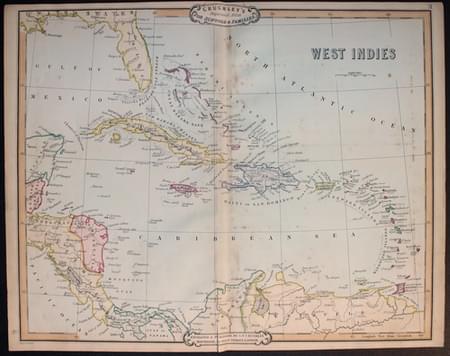
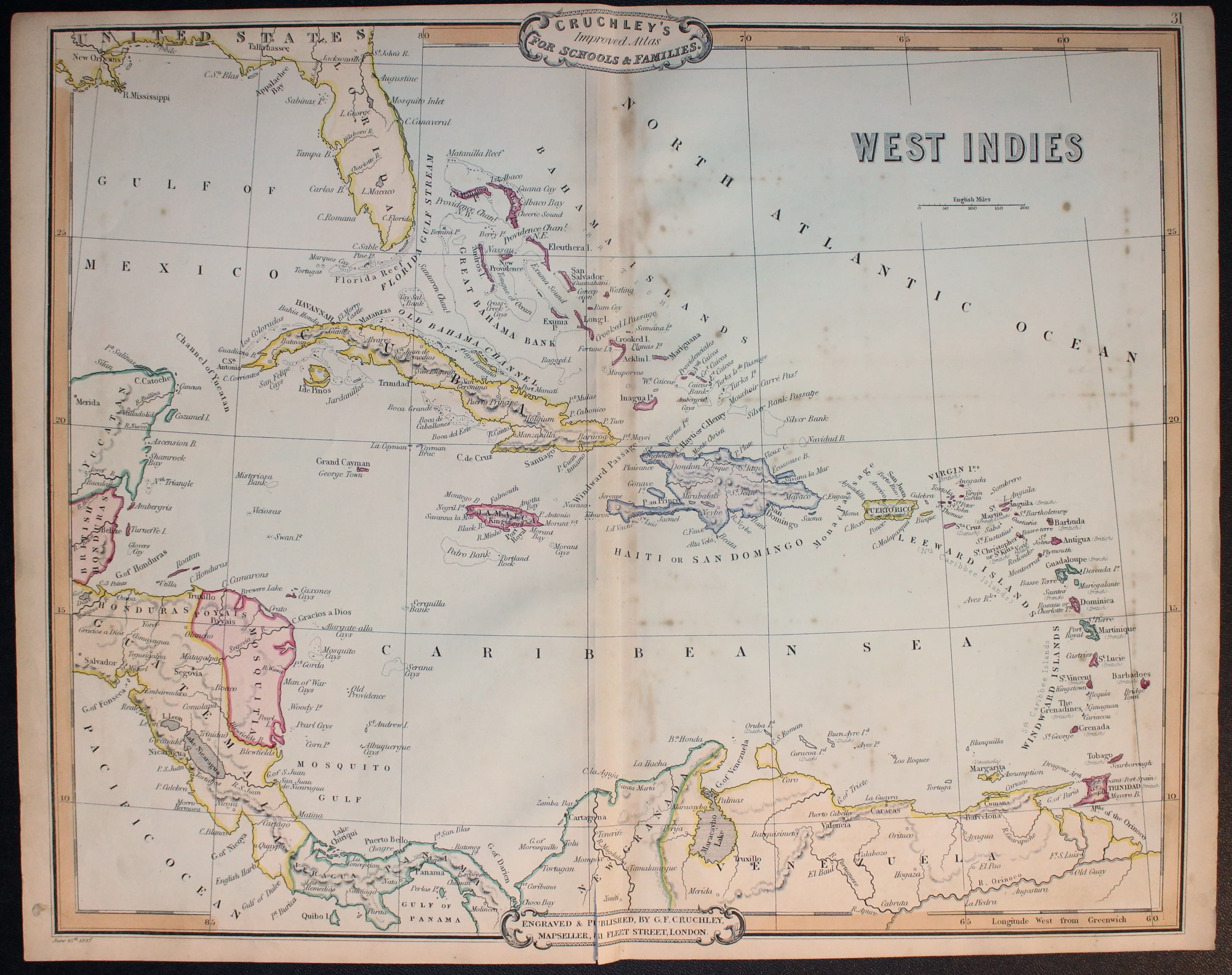
West Indies, Thoas Kitchin 1782
33045 West Indies, George Frederick Cruchley, 1854. Price: 58.00
WEST INDIES
A clearly engraved attractive map. Publishers rococo cartouche inscribed Cruchley’s Improved Atlas, for Schools & Families. 17 1/4 x 14 1/2 inches. Original outline and wash hand colouring. Small split just left of the original centre fold at the bottom. Otherwise good clean condition. On verso is pasted a specimen plate showing in a progression of 6 panels the making of a map.
From: Cruchley’s General Atlas for the use of Schools and Private Tuition
19th Century
-
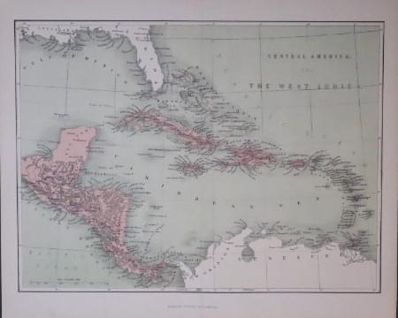
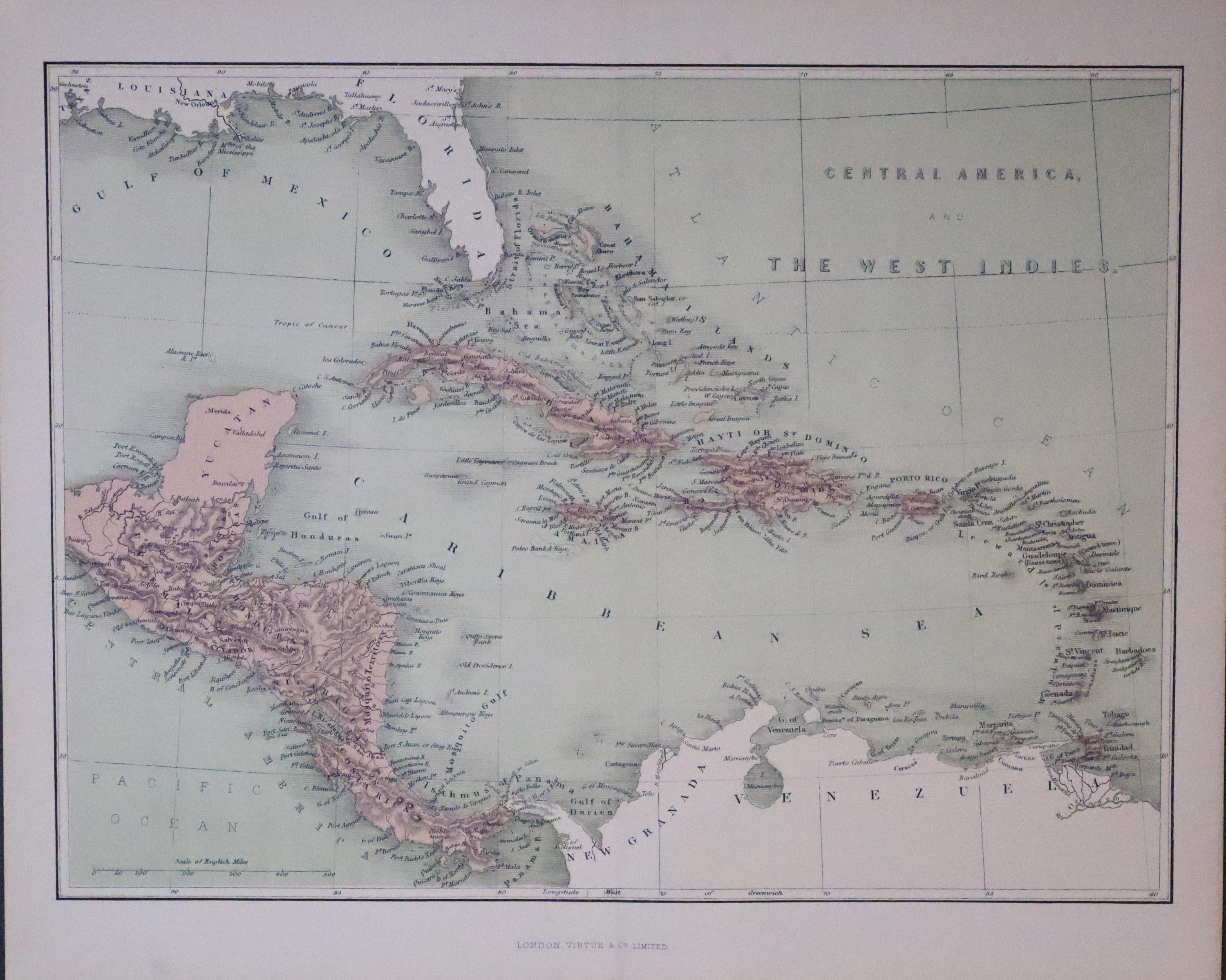
West Indies, William Huges c.1865
33256 West Indies, William Hughes, c.1865. Price: 18.00
CENTRAL AMERICA AND WEST INDIES
A coloured lithograph map Published in London by Virtue & Co. 12 x 9 inches. Original centre fold. Good clean undamaged condition.
HAITI
18th Century - Sea Chart
-
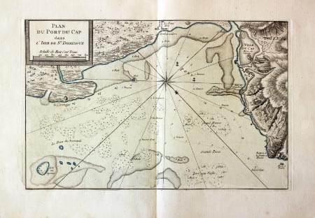
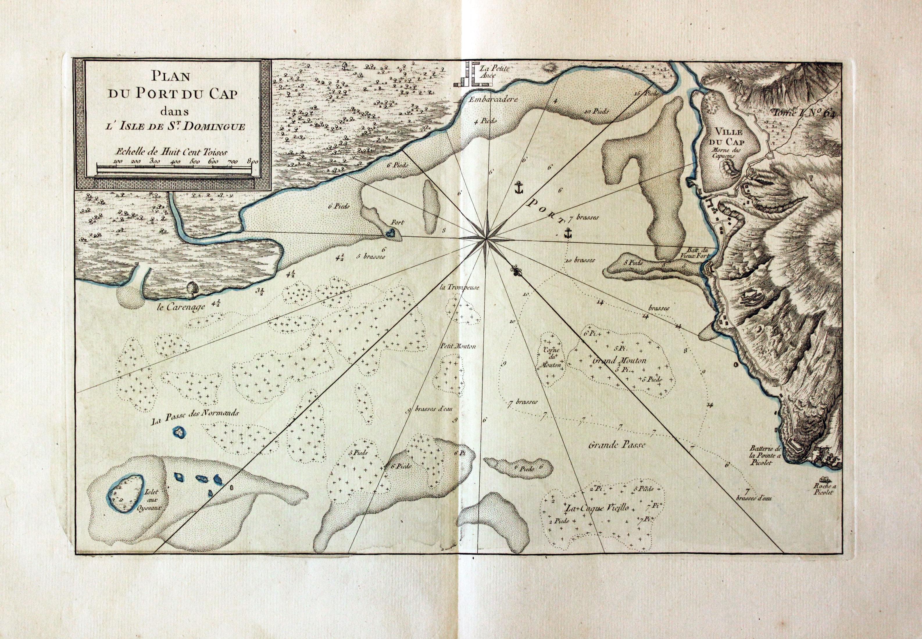
Port Cap, Haiti. J. N. Bellin, 1764
30653 Port Cap, Haiti. J. N. Bellin, 1764. Price: 60.00
PLAN DU PORT DU CAP DANS L'ISLE DE ST. DOMINGUE An engraved chart of the harbour of Cap on the island Haiti. Compass rose. 14 x 9 inches. Original blue outline and wash colouring. Fine condition with large blank margins.
From: Le Petit Atlas Maritime Tome I No. 64
18th Century - Sea Chart
-
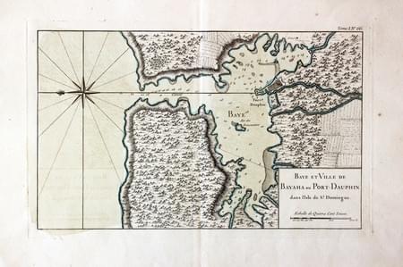
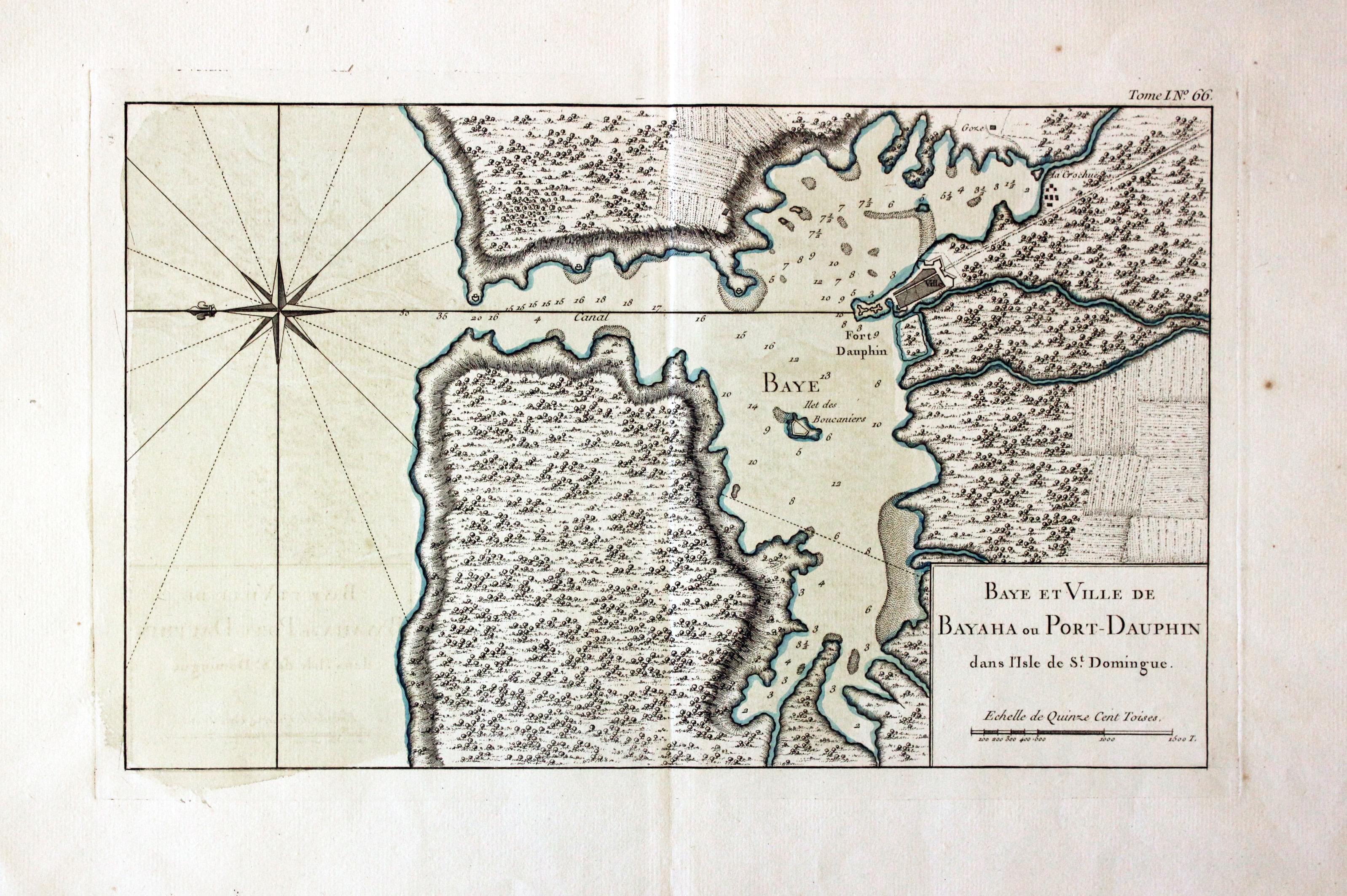
Bayaha, Hispaniola, J. N. Bellin, 1764
13679 Bayaha, Haiti, J. N. Bellin, 1764. Price: 70.00
BAYE ET VILLE DE BAYAHA OU PORT-DAUPHIN DANS L'ISLE DE ST. DOMINGUE
An engraved chart of the harbour of Bayaha on the north coast of what is today Haiti. Compass rose. Orientated with east the top. 13 x 8 inches, 350 x 210 mm. Original blue outline and wash colouring. Fine condition with large blank margins.
From: Le Petit Atlas Maritime Tome I No. 66
18th Century - Sea Chart
-
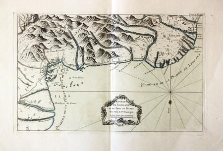
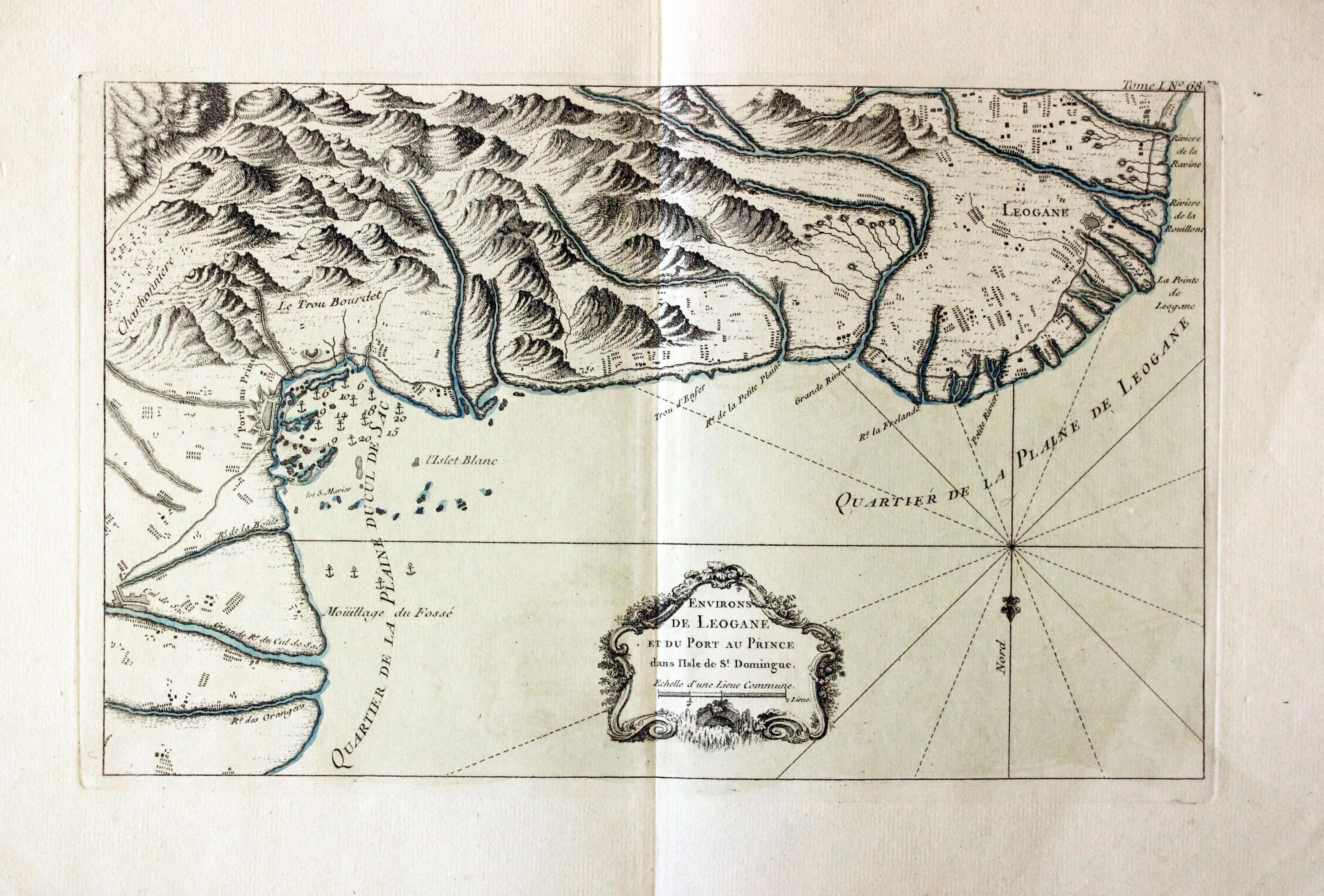
Leogane, Haiti. J. N. Bellin, 1764
30654 Leogane, Haiti. J. N. Bellin, 1764. Price: 60.00
ENVIRONS DE LEOGANE ET DU PORT AU PRINCE SANS L’ISLE DE ST. DOMINGUE
An engraved chart of the area between Leogane and Port au Prince on the island of Hispaniola. Compass rose. 13 3/4 x 8 3/4 inches. Original blue outline and wash colouring. Fine condition with large blank margins.
From: Le Petit Atlas Maritime Tome I No. 68
LESSER ANTILLES
19th Century - Early Hand Colouring
-
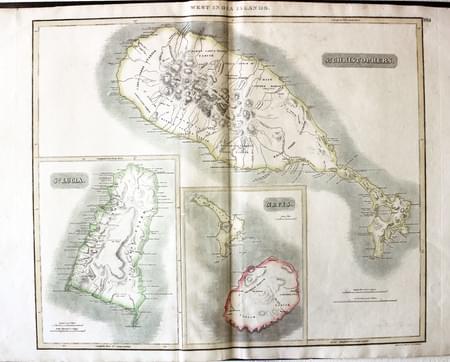
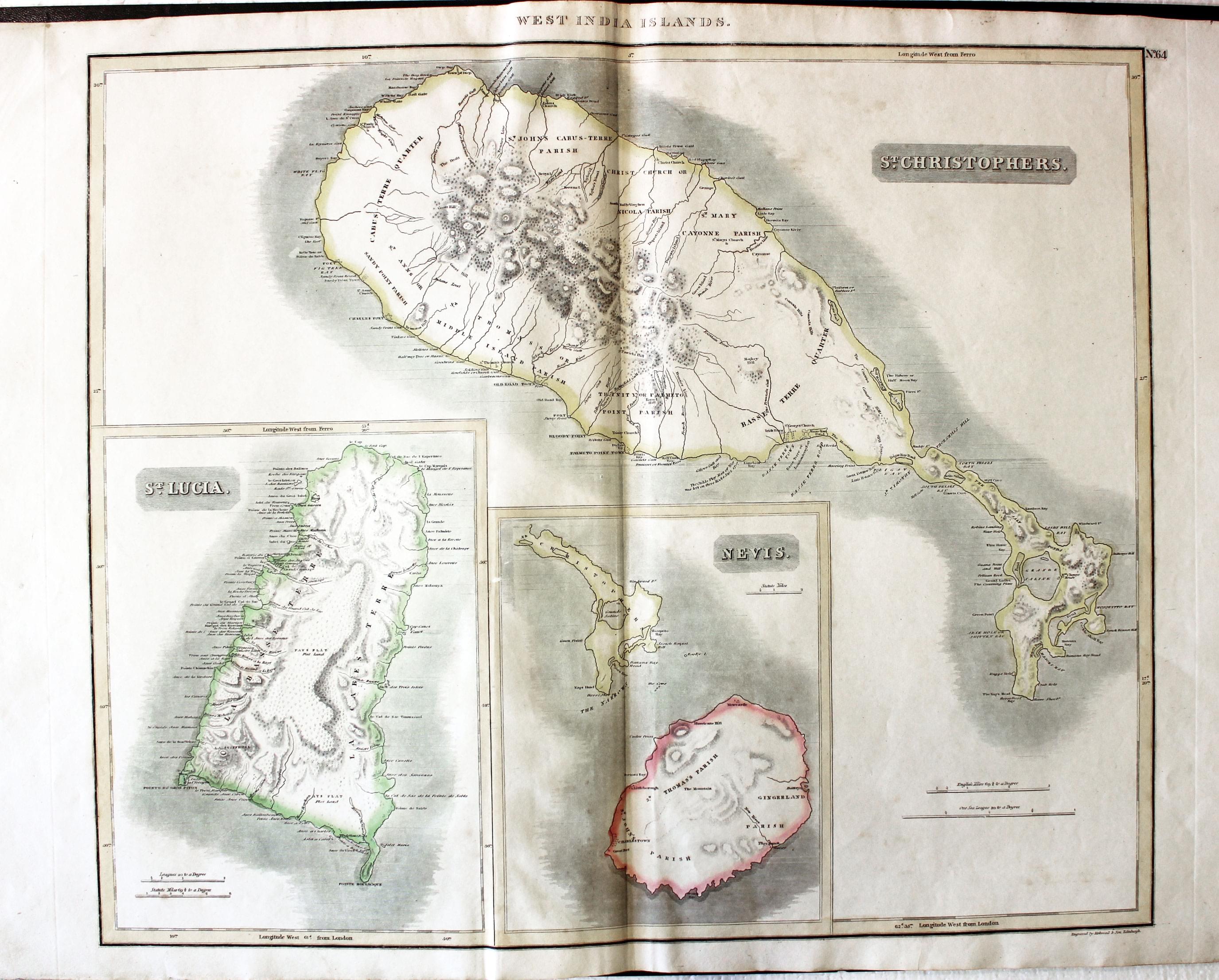
St. Christophers, St. Lucia and Nevis, John Thomson, 1817
8955 St. Christophers, St. Lucia and Nevis, John Thomson, 1817. Price: 130.00
ST. CHRISTOPHERS, ST. LUCIA, NEVIS
Three maps on one sheet. 23 x 19 inches, 590 x 495 mm. Original hand colouring. Good condition
From A New General Atlas
18th Century
-

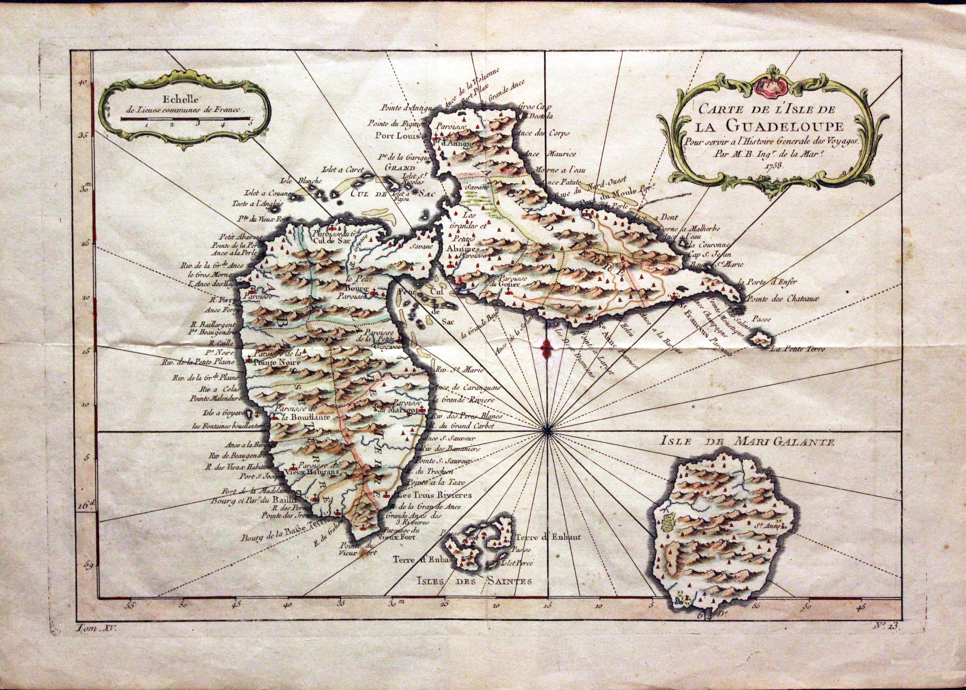
Guadeloupe, Jacques Nicolas Bellin, 1758
30126 Guadeloupe, Jacques Nicolas Bellin, 1758. Price: 35.00
CARTE DE L’ISLE DE LA GUADELOUPE.... 1758
An engraved map of Guadeloupe with the island of Mari-Galante and Les Saintes. The title and scale and displayed within rococo cartouches. 12 x 8 1/4 inches. Hand coloured. A little light creasing but otherwise good condition.
From: L'Histoire Generale des Voyageses
CUBA & JAMAICA
19th Century
-
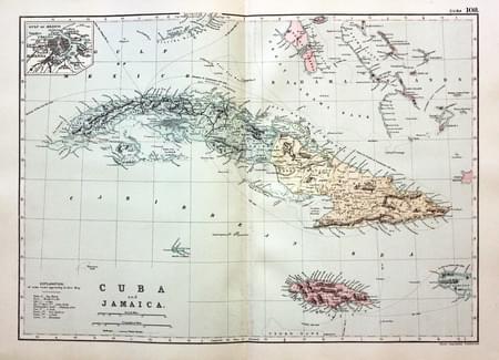
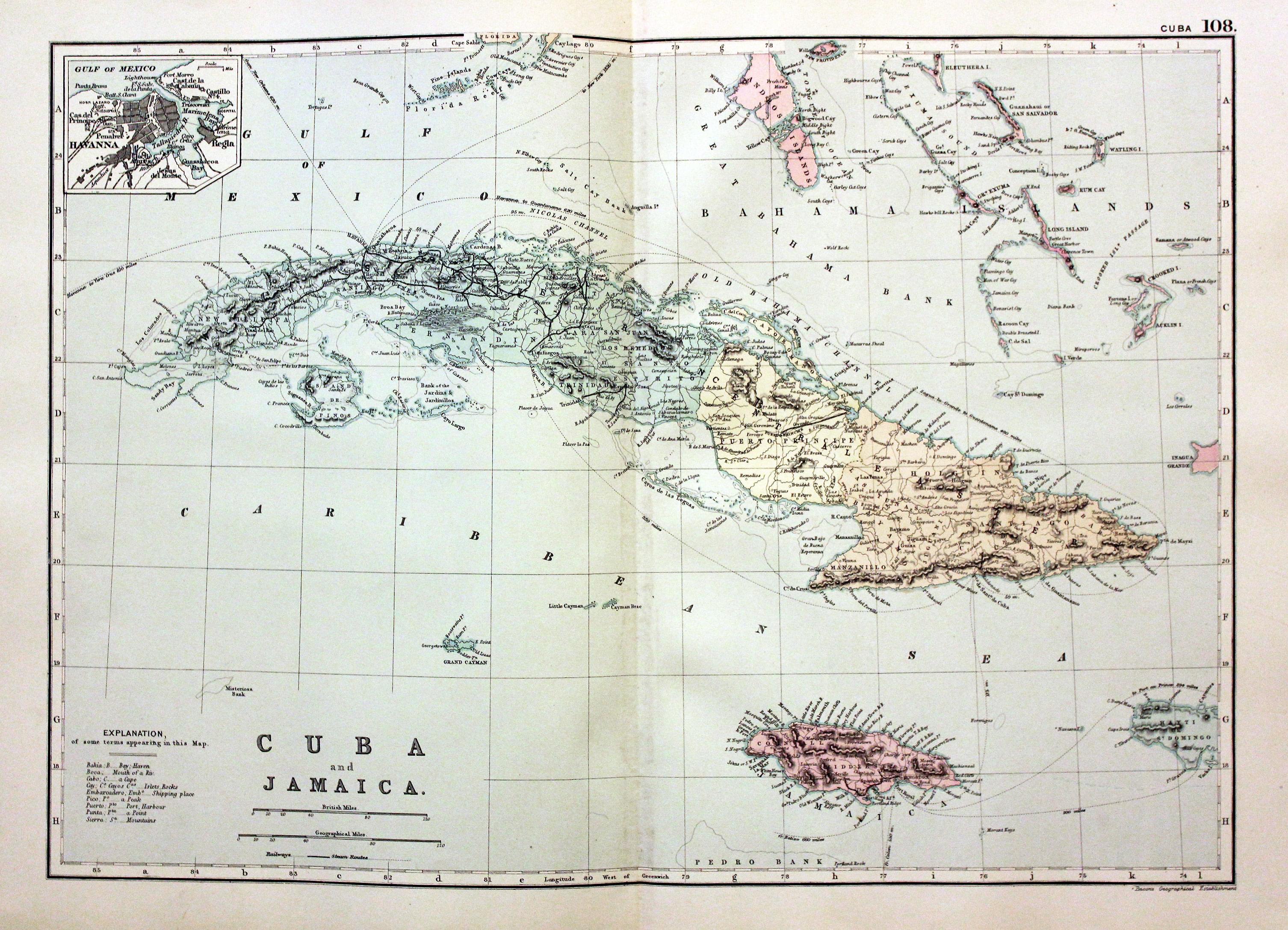
Cuba and Jamaica, George Washington Bacon, 1891
30491 Cuba and Jamaica, George Washington Bacon, 1891. Price: 24.00
CUBA AND JAMAICA
A detailed colour printed map of the two islands as well as some surrounding islands. Inset map of Havanna. 16 3/4 x 11 1/2 inches. Good blank margins. Good clean condition.
From: Complete Atlas of the World
19th Century
-

Jamaica / Haiti, George Washington Bacon, 1891
30492 Jamaica / Haiti, George Washington Bacon, 1891. Price: 24.00
JAMAICA. HAYTI (ST. DOMINGO)
A detailed colour printed sheet showing maps of the two islands. 16 3/4 x 11 1/2 inches. Good blank margins. Good clean condition.
From: Complete Atlas of the World

