Antique Maps of Arabia
Richard Nicholson of Chester

Established in 1961
A World of Antique Maps and Prints

The maps on this page are guaranteed to be genuine early specimens published in or around the year stated
19th Century - Early Hand Colouring
-

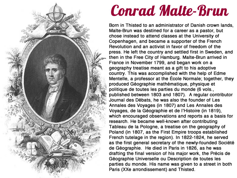
Middle East and Arabia Conrad Malte-Brun 1812

18077 Land of the Hebrews, Conrad Malte-Brun, 1812. Price: 87.00
GÉOGRAPHIE DEL HEBREUX
An engraved map showing Turkey, Holy Land, Arabia and the Red Sea in ancient times. Engraved by Jean-Baptiste-Marie Chamouin who worked in Paris. Uncoloured pictorial title cartouche with tents and a shepherd with sheep and camels. 8 1/2 x 11 3/4 inches. Original outline hand colouring. Brown stain across the top of the upper blank border where the map has been attached to a sunk mount. Otherwise good condition.
From: Precis de la Geographie universelle, ou description de toutes les parties du monde
19th Century - Early Hand Colouring
-

Ancient Africa and Arabia Conrad Malte-Brun 1812

24898 North Africa and Arabia in Ancient Times, Conrad Malte-Brun, 1812. Price: 42.00
AFRIQUE ANCIENNE
An engraved map showing northern Africa, Arabia and the Mediterranean in ancient times. 12 1/4 x 8 1/4 inches. Original early outline hand colouring. Good condition.
From: Atlas Complete du Précis de la Géographie Universelle
19th Century - Early Hand Colouring
-

Part of Arabia and the Nile, Augustus Heinrich Petermann, c.1850

31410 Part of Arabia and the Nile, Augustus Heinrich Petermann, c.1850. Price: 30.00
THE COUNTRIES OF THE NILE AND PART OF ARABIA CONSTRUCTED BY AUGUSTUS PETERMANN, F.R.G.S.
An interesting map engraved by J.Dower and published by Orr and Company at Amen Corner, Paternoster Row, London. Section of mountains shown below the title. 8 1/4 x 10 3/4 inches. Original outline hand colouring. A little light dust soiling otherwise good condition.
From: School Atlas
RICHARD NICHOLSON
of CHESTER
Stoneydale
Pepper Street
Christleton
Chester
CH3 7AG
Telephone
01244 336004
International 44 1244 336004

I have been buying and selling antique maps since the early 1960's during which time I had a gallery in Watergate Street, Chester for 30 years. I am now able to offer through my websites a personal service to map and print collectors.

