Antique Maps of Caernarvonshire
Richard Nicholson of Chester
A World of Antique Maps and Prints
Established in 1961
All the Maps on this page are guaranteed to be genuine early specimens
published in or around the year stated
Early 19th Century - Original Hand Colouring
-
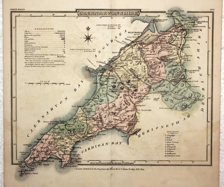
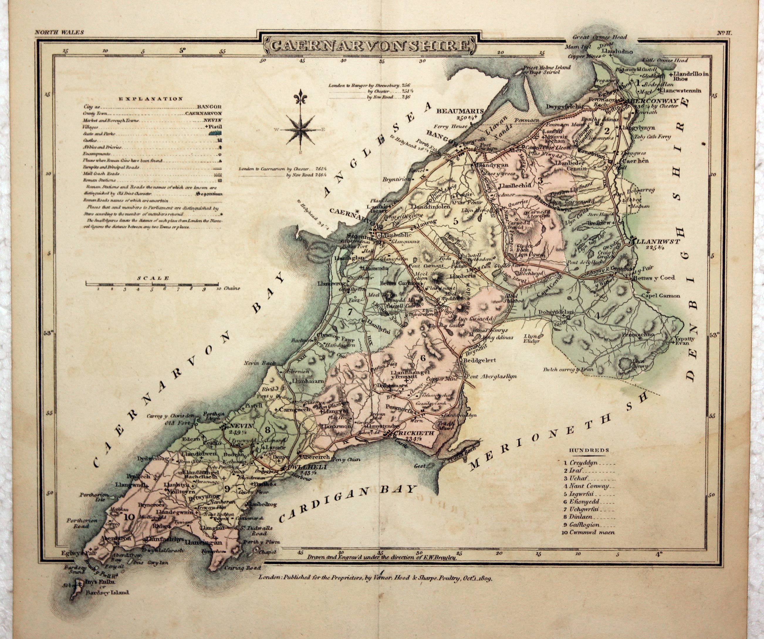
Caernarvonshire, G. Cole and J. Roper, 1810

23763 Caernarvonshire, G. Cole and J. Roper, 1810. Price: 38.00
CAERNARVONSHIRE
An engraved county map. Explanation and list of hundreds. 8 3/4 x 6 3/4 inches. Early wash hand colouring. Good condition.
From: The British Atlas
Early 19th Century - Original Hand Colouring
-

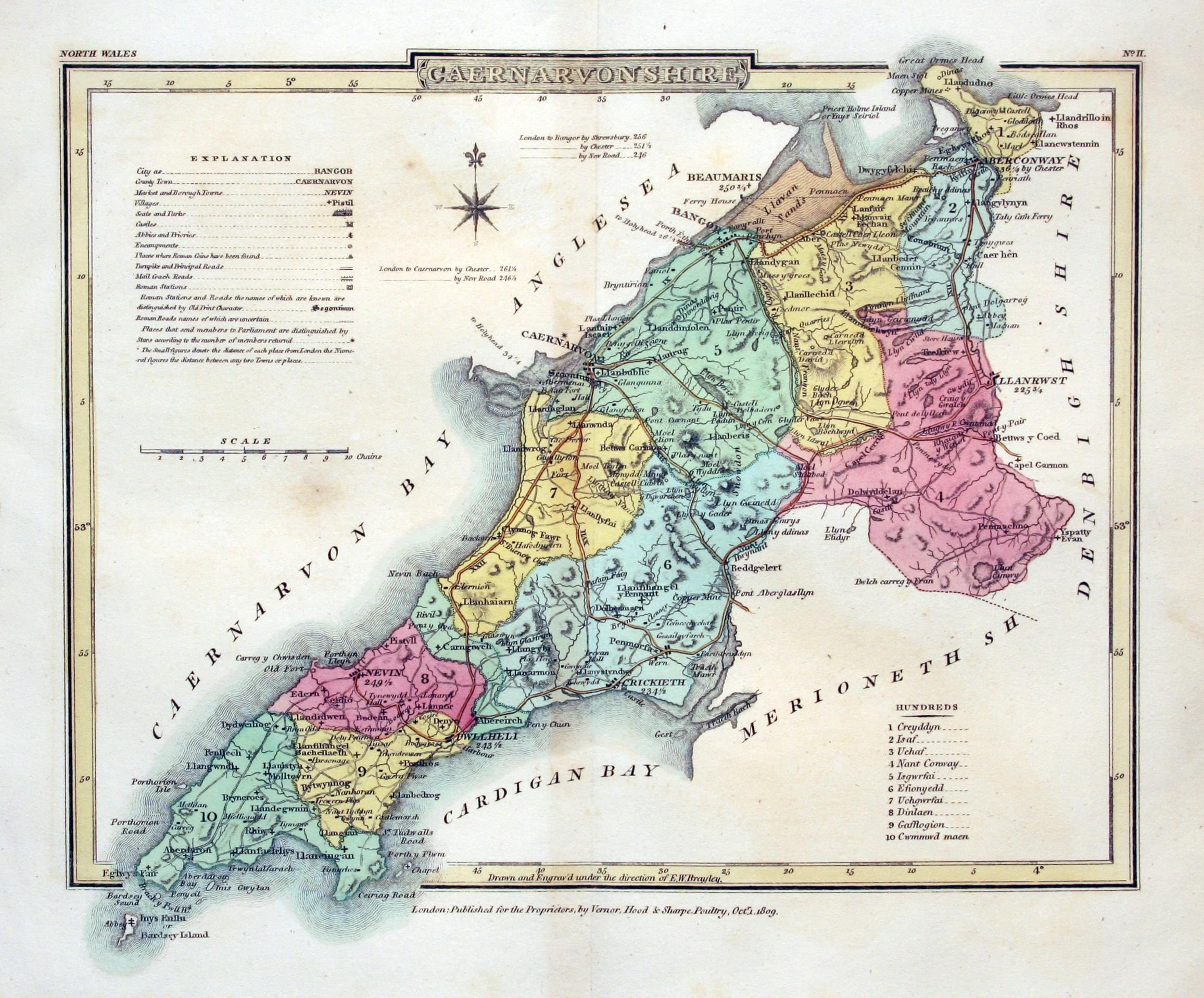
Map of Caernarvonshire by Cole & Roper

28919 Caernarvonshire, George Cole and John Roper, 1810. Price: 38.00
ANGLESEA
An engraved map of the island. Explanation and list of hundreds. 8 3/4 x 6 3/4 inches. Early wash hand colouring. Good condition. Nice stout paper.
From: The British Atlas
19th Century - Miniature
-
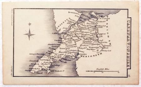
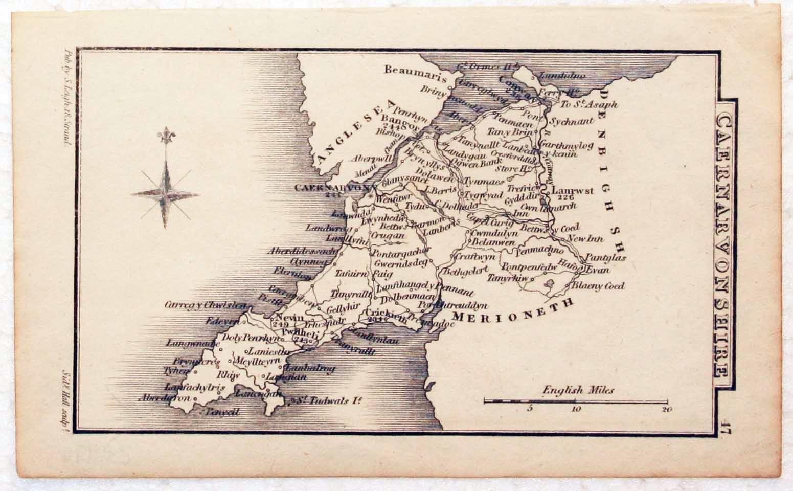
Caernarvonshire, S. Leigh, 1826

28999 Caernarvonshire, S. Leigh, 1826. Price: 12.50
CAERNARVONSHIRE
A miniature engraved map of the county. Engraved by Sydney Hall. 4 x 2 inches. Uncoloured. Good condition.
From: Leigh's New Pocket Road Book of England and Wales
18th Century - Sea Chart
-
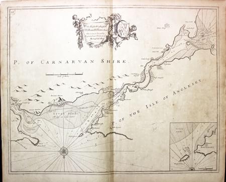
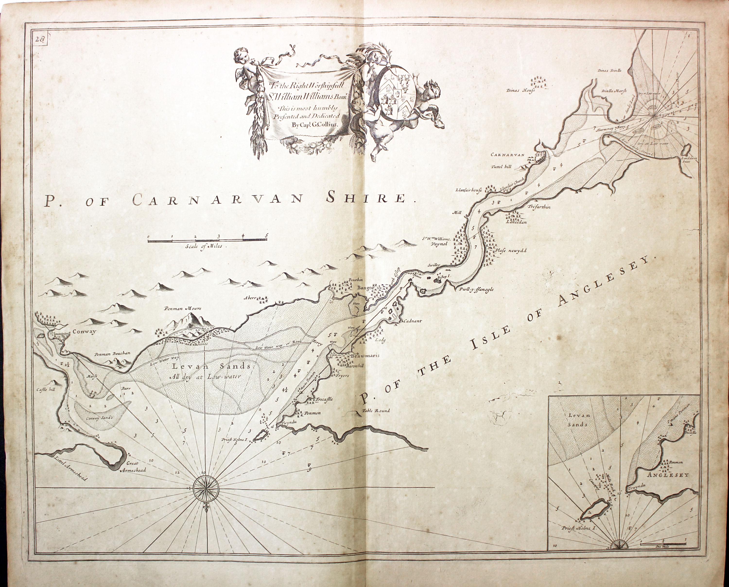
Menai Straits, Captain Greenville Collins, c.1760

31025 Menai Straits, Captain Greenville Collins, c.1760. Price: 120.00
UNTITLED
A fine untitled chart of the Menai Straits in North Wales orientated with south at the top. Inset of Priest Hole or Puffin Island. Dedication banner bearing the name of The Right Worshipfull Sr.William Williams Barrt. supported by two putti with coats of arms. Compass rose and rhumb lines. 22 x 17 inches. Uncoloured. Light toning. Good condition.
From: Great Britain’s Coasting Pilot
19th Century - Early Hand Colouring
-
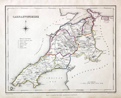
Caernarvonshire, Samuel Lewis 1845

31579 Caernarvonshire, Samuel Lewis, 1845. Price: 19.50
CARNARVONSHIRE
A county map drawn by R. Creighton and engraved by J. & C. Walker. 9 x 6 3/4 inches. Original outline hand colouring. Good clean condition. Straight from the atlas and not sold as a single map before now.
From: Lewis' Atlas to the Topographical Dictionaries of England and Wales
17th Century
-
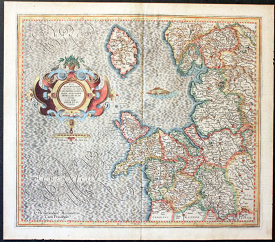
North West England and Isle of Man Mercator c.1633
-
North West England and Isle of Man Text Mercator c.1633
32036 North West England, Gerard Mercator, c.1633. Price: 130.00
WESTMORLANDIA, LANCASTRIA, CESTRIA, CAERNARVAN, DENBIGH, FLINT, MERIONIDH, MONTGOMERY, SALOPIA / CUM INSULIS MANIA ET ANGLESEY

17th Century
-
Map of Cornwall by Thomas Letts 1884

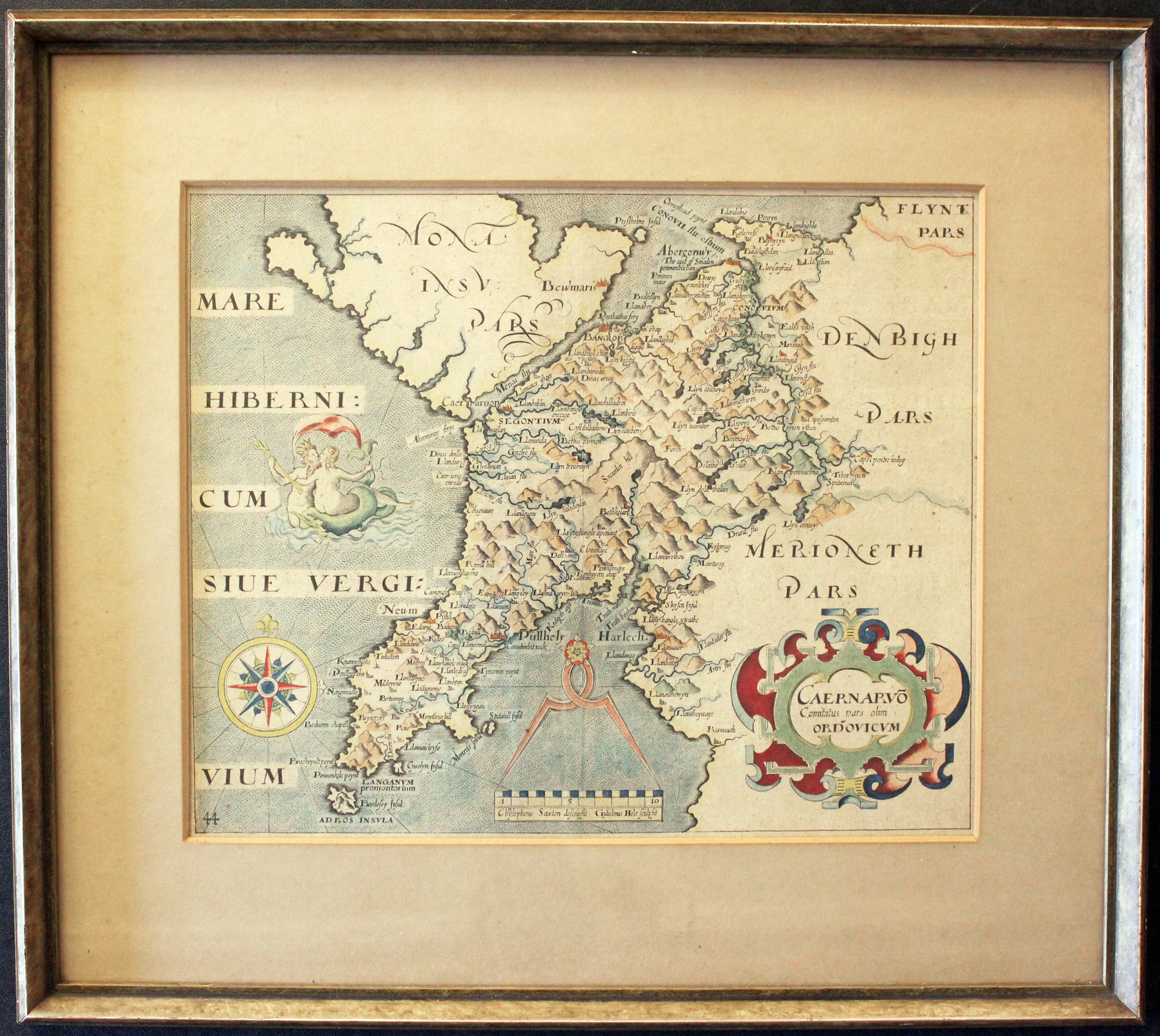
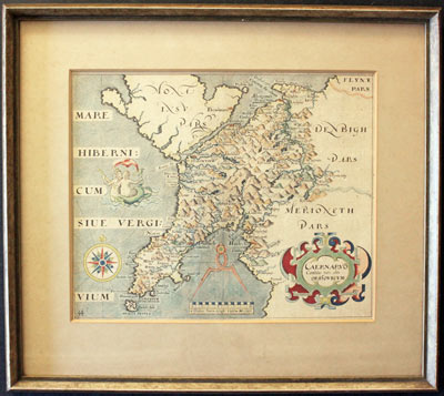
32041 Caernarvonshire, William Hole, 1637. Price: 50.00
CAERNARVO COMITATUS PARS OLIM ORDOVICUM
An early engraved map of the county engraved by William Hole after the survey by Christopher Saxton embellished with a decorative title cartouche. Compass rose. Scale with a pair of dividers. Figures of Neptune and a mermaid embracing. 12 x 11 3/4 inches. Hand coloured. The map was framed many years ago and is offered in this rubbed gilt moulding. The appears very flat and therefore I assume that it has been dry mounted, probably at the time it was framed by R. Jackson & Sons of 18A Slater Street, Liverpool. The firm relocated to this address in 1925 and remained there until the property was bombed in the May Blitz of 1941. Today the family business continues at Number 20.
From: Camden's Britannia
This map is only available for collection from Christleton
Early 19th Century - Sea Chart
-
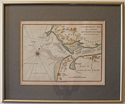
Chart of Caernarvon Bay, North Wales by William Morris 1801

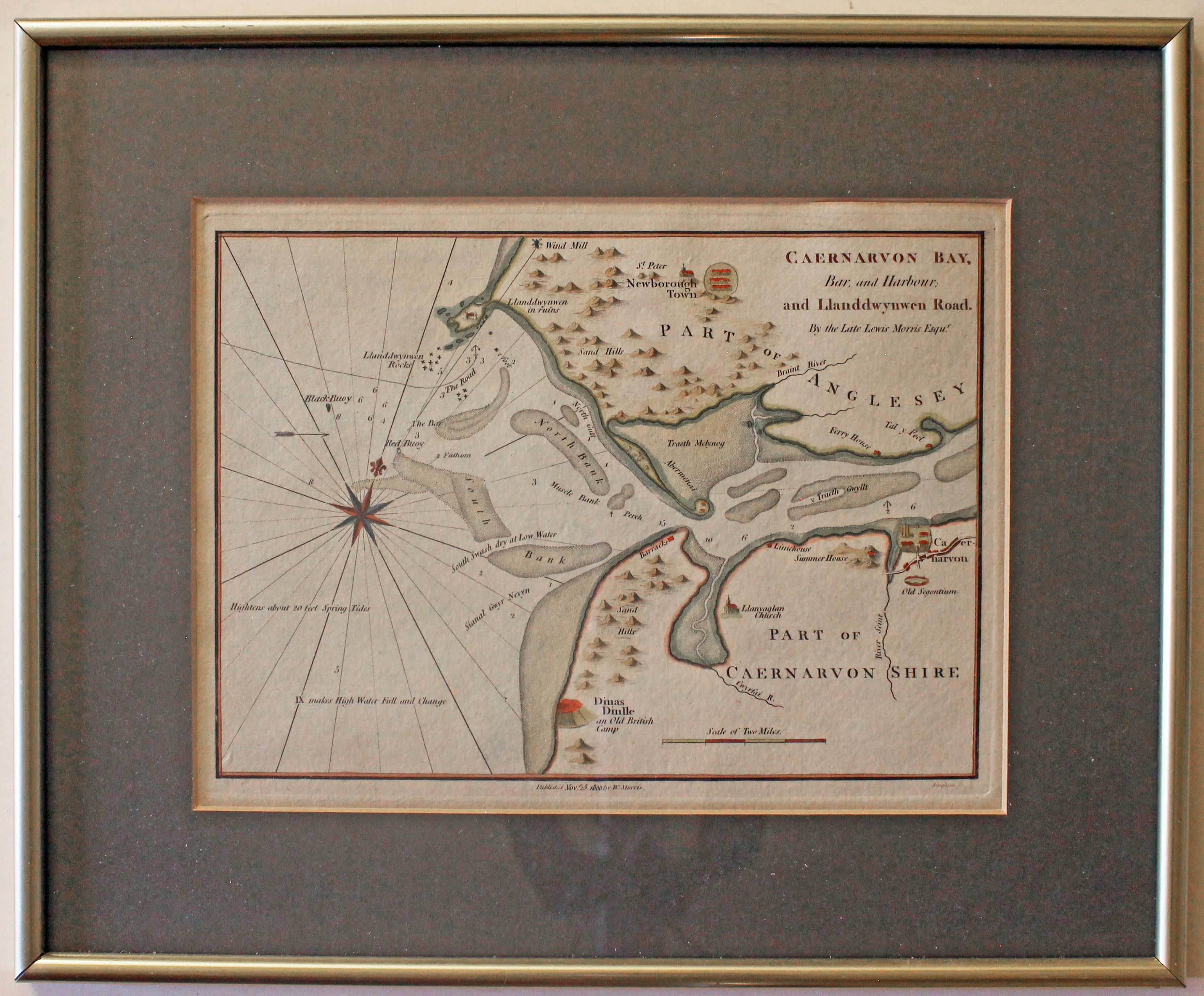
32608 Caernarvon Bay, William Morris, 1801. Price: 70.00
CAERNARVON BAY, BAR AND HARBOUR: AND LLANDDWYNWEN ROAD. BY THE LATE LEWIS MORRIS ESQR
A most interesting engraved chart of this part of the North Wales coast. Shows Caernarvon and Newborough with the Menai Straits meeting the sea. Imprint of William Morris below dated 1800. 9 1/4 x 6 1/2 inches. Attractive hand colouring. Good condition. In a dark green mount and framed some years ago. Frame still in reasonable condition and ready to hang.
From: Plans of the Principal Harbours, Bays, and Roads in St. George’s and the Bristol Channels.
This chart was last sold by me in 1990.
Only available to customers who can collect from Christleton
19th Century
-
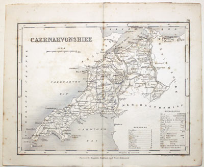
Caernarvonshire, Joshua Archer, c.1845

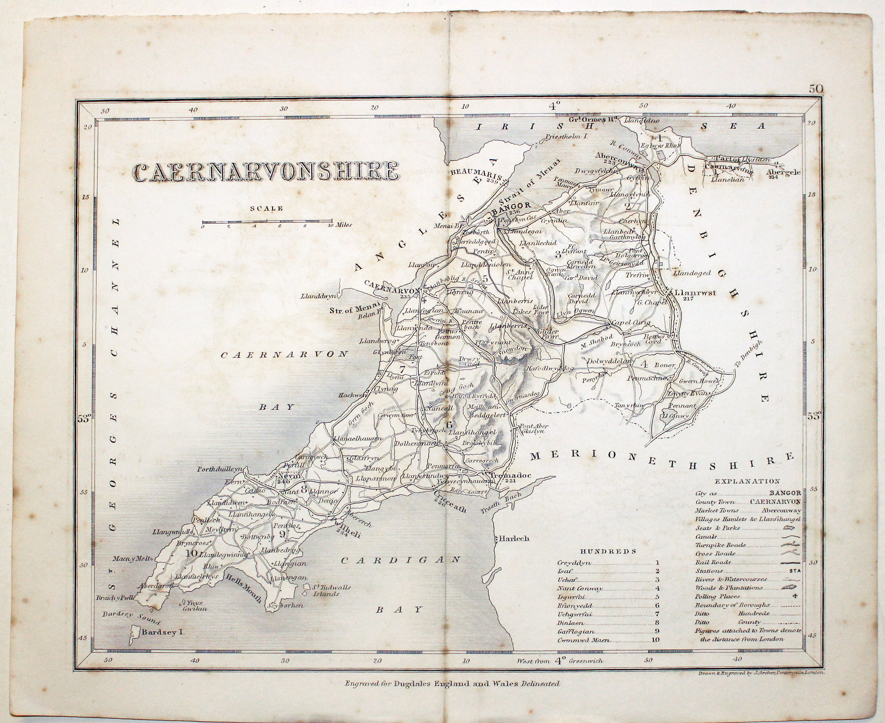
32785 Caernarvonshire, Joshua Archer, c.1845. Price: 14.00
CAERNARVONSHIRE
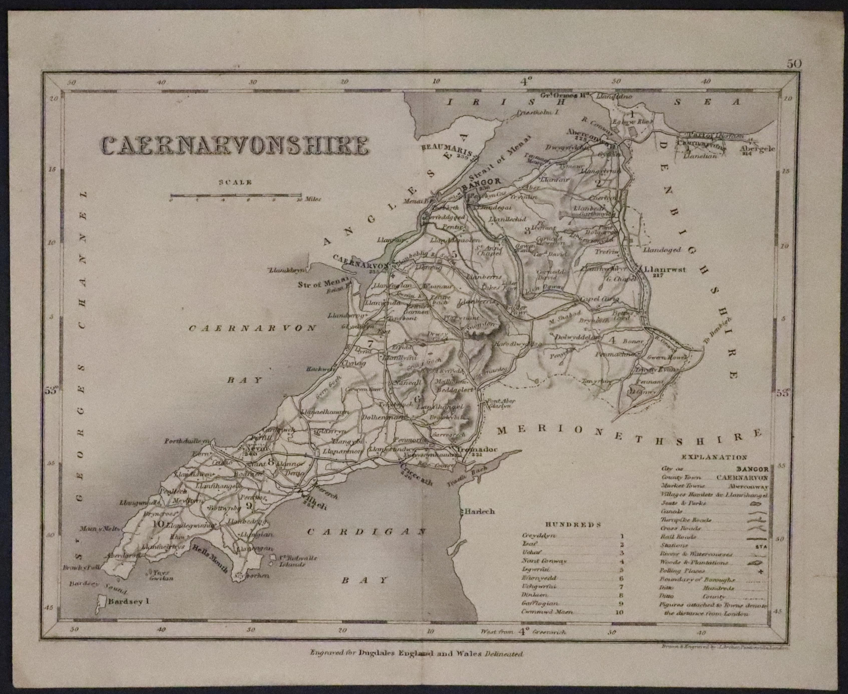
A detailed engraved map of the county divided into hundreds. 9 x 7 inches. Original centre fold. Uncoloured. Some light toning, Good undamaged condition.
From: Dugdale’s England and Wales Delineated
19th Century - Early Hand Colouring
-
Map of Cornwall by Thomas Letts 1884

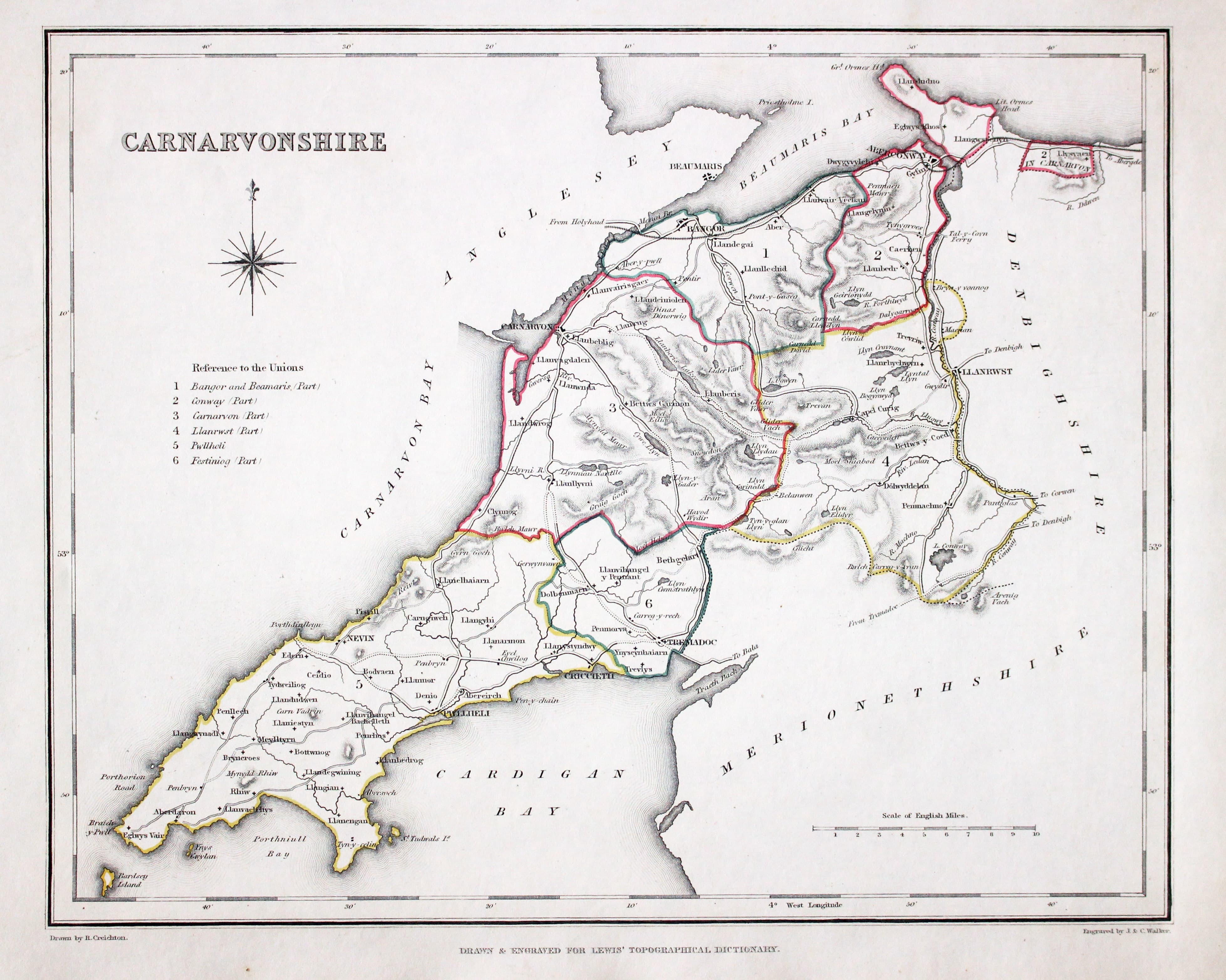
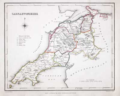
32898 Caernarvonshire Samuel Lewis, 1848. Price: 22.00
CARNARVONSHIRE
A county map drawn by R. Creighton and engraved by J. & C. Walker. 9 x 6 3/4 inches. Original outline hand colouring. Good clean condition. Straight from the atlas and not sold as a single map before now.
From: Lewis' Atlas to the Topographical Dictionaries of England and Wales
18th Century
-
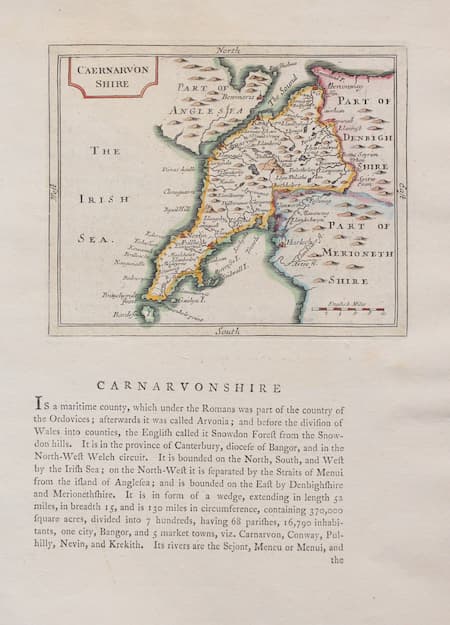
Map of Caernarvonshire by John Seller 1787

33170 Caernarvonshire, John Seller 1787. Price: 37.00
CAERNARVON SHIRE
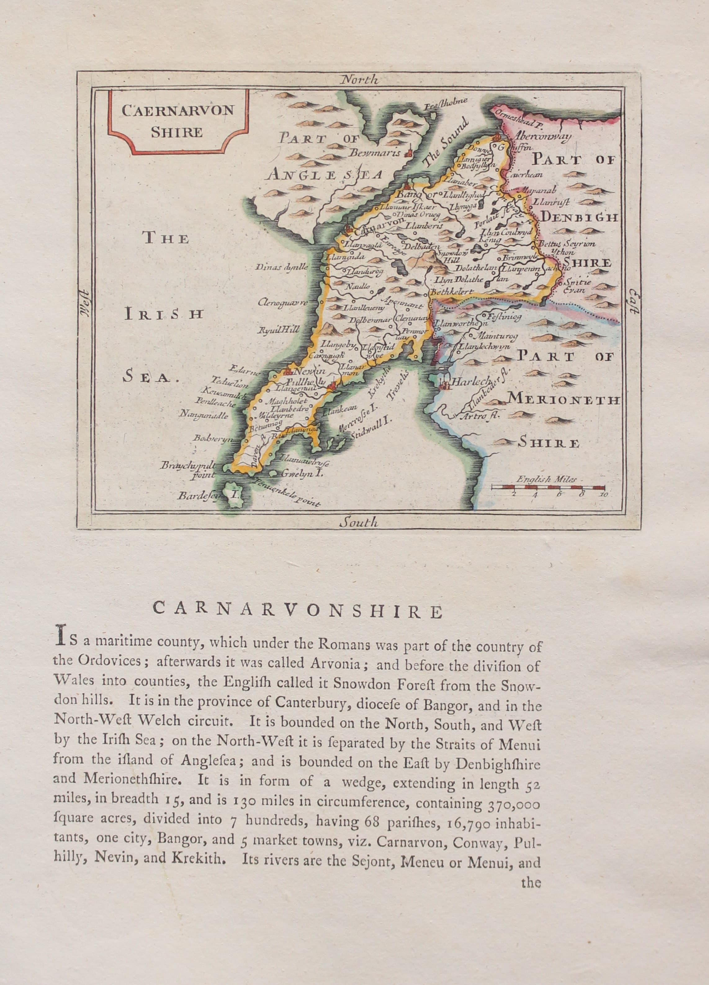
A small engraved map of the county embellished with a title panel. 5 3/4 x 4 3/4 inches. Beneath the map and on verso is a description of the county in English. Attractive later hand colouring. Good condition.
From: Grose’s Antiquities
19th Century
-

Caernarvonshire, Joshua Archer, c.1845

32785 Caernarvonshire, Joshua Archer, c.1845. Price: 14.00
CAERNARVONSHIRE
A detailed engraved map of the county divided into hundreds. 9 x 7 inches. Original centre fold. Uncoloured. Some light toning, Good undamaged condition.
From: Dugdale’s England and Wales Delineated
19th Century
-
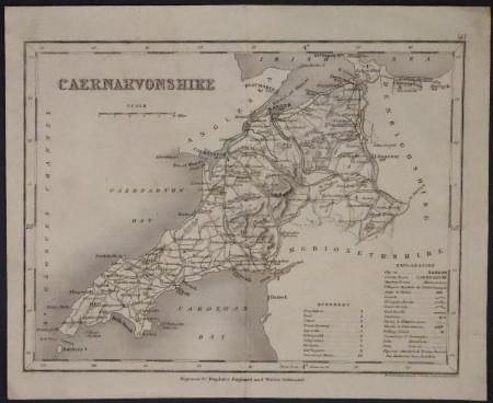
Caernarvonshire, Joshua Archer, c.1845

33282 Caernarvonshire, Joshua Archer, c.1845. Price: 19.00
CAERNARVONSHIRE
A detailed engraved map of the county divided into hundreds. 9 x 7 inches. Original centre fold. Uncoloured. Good condition.
From: Dugdale’s England and Wales Delineated.
19th Century
-
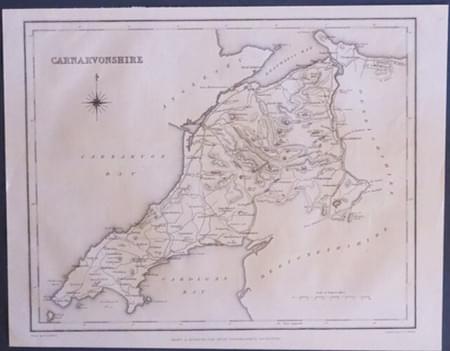
Caernarvonshire by Samuel Lewis c.1845

33316 Caernarvonshire, Samuel Lewis, 1845. Price: 14.00
CARNARVONSHIRE
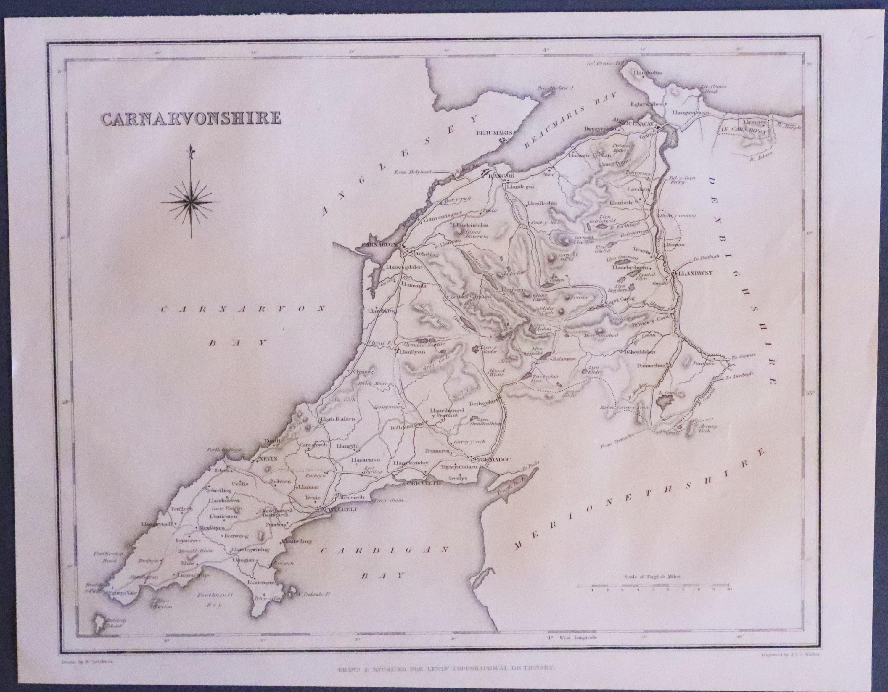
A county map drawn by R. Creighton and engraved by J. & C. Walker. 9 x 6 3/4 inches. Uncoloured. Good clean condition.
From: Lewis' Atlas to the Topographical Dictionaries of England and Wales
19th Century - Early Hand Colouring
-
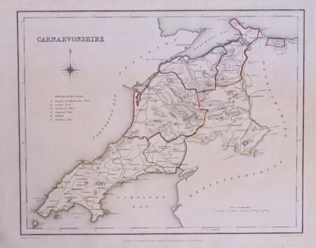
Caernarvonshire by Samuel Lewis c.1845

33617 Caernarvonshire, Samuel Lewis, 1845. Price: 19.50
CARNARVONSHIRE
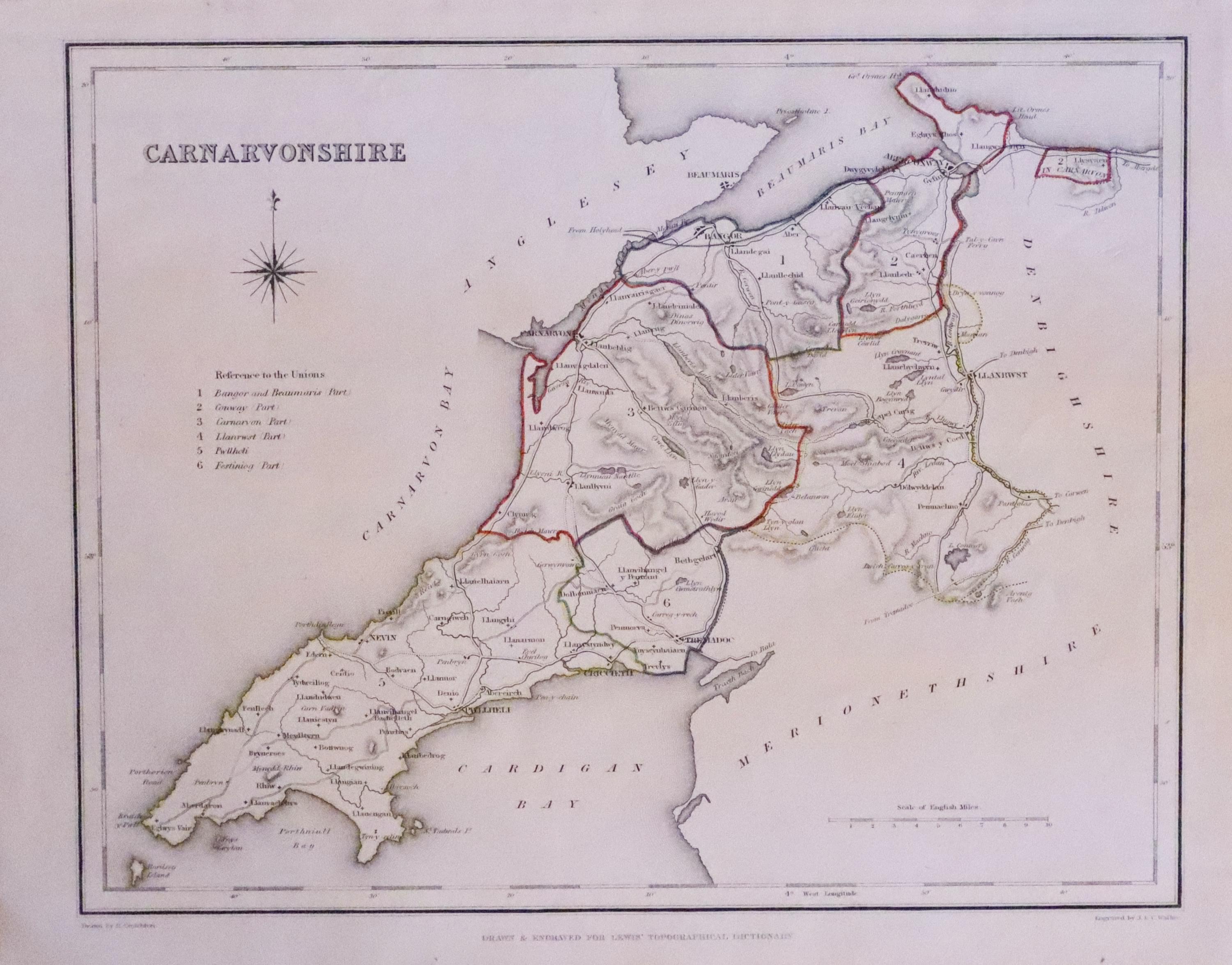
A county map drawn by R. Creighton and engraved by J. & C. Walker. 9 x 6 3/4 inches. Original outline hand colouring. Good clean condition.
From: Lewis' Atlas to the Topographical Dictionaries of England and Wales


