Antique Maps of Corfu
Richard Nicholson of Chester

Established in 1961
A World of Antique Maps and Prints

The maps on this page are guaranteed to be genuine early specimens published in or around the year stated
18th Century - Sea Chart
-
, Joseph Roux, 1764")
Pylos (Navarino), Joseph Roux, 1764
, Joseph Roux, 1764")
27938 Pylos (Navarino), Joseph Roux, 1764. Price: 45.00
PLAN DE LA RADE DE NAVARIN
A small engraved chart showing the bay of Pylos, formerly Navarino. Shows the depth soundings, and anchorage points. 7 1/2 x 5 inches. Uncoloured. Good condition.
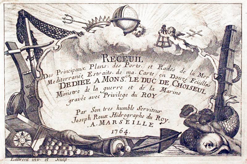
Plate 77 From: Receuil Des Principaux Plans; des Ports, et Rades de la Mer Mediterranée, Estraits, de ma. Carte Douze Feüilles.... Marselle 1764
The naval Battle of Navarino was fought on 20 October 1827, during the Greek War of Independence (1821–29) in Navarino Bay, western Greece, on the Ionian Sea. A combined Ottoman and Egyptian armada was destroyed by a combined British, French and Russian naval force, at the port of Navarino.
18th Century Sea Chart
-

Sapienza, Joseph Roux, 1764

27939 Sapienza, Joseph Roux, 1764. Price: 40.00
I. DE SAPIENCE
A small engraved chart orientated with west at the top showing the island of Sapienza off one of the southern tips of Morea with the town of Modon on the mainland. Shows the depth soundings and anchorage points. 7 1/2 x 5 inches. Uncoloured. Good condition.
Plate 78 From: Receuil Des Principaux Plans; des Ports, et Rades de la Mer Mediterranée, Estraits, de ma. Carte Douze Feüilles.... Marselle 1764
Antique Views
-

Strada Reale Corfu

86464 Strada Reale, S. Prout, c.1840. Price: 24.00
STRADA REALE - CORFU
A hand coloured steel engraved view with many figures. Dated 1840. 7 3/4 x 5 inches. Mounted. Good condition.
RICHARD NICHOLSON
of CHESTER
Stoneydale
Pepper Street
Christleton
Chester
CH3 7AG
Telephone
01244 336004
International 44 1244 336004

I have been buying and selling antique maps since the early 1960's during which time I had a gallery in Watergate Street, Chester for 30 years. I am now able to offer through my websites a personal service to map and print collectors.

