Antique Maps of Bosnia, Croatia and Serbia
Richard Nicholson of Chester
A World of Antique Maps and Prints
Established in 1961
All the Maps on this page are guaranteed to be genuine early specimens
pubished in or around the year stated
16th Century
-
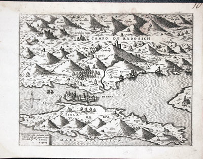
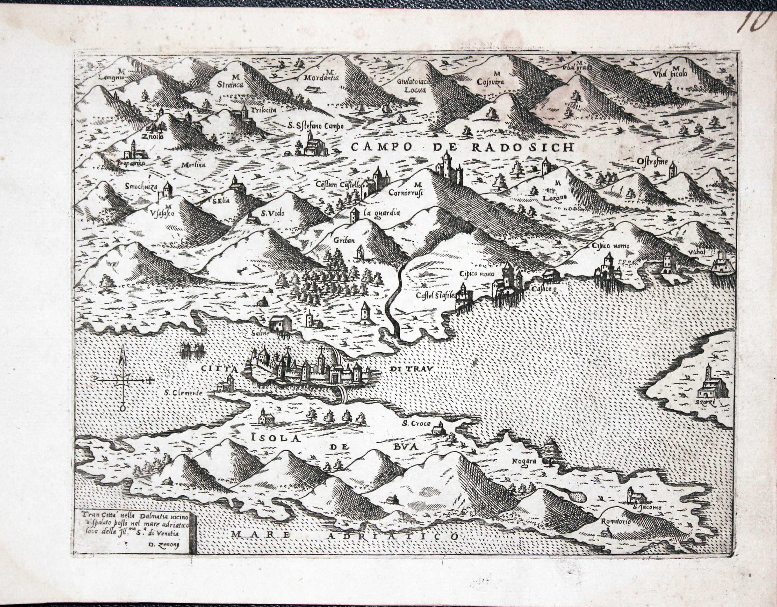
Trogir, Croatia Donato Bertelli c.1574
12469 Trogir, Donato Bertelli, c.1574. Price: 240.00
TRAU CITTA NELLA DALMATIA....
An early engraved map showing the town of Trogir in Crotia with surrounding area and coast. Early state with no plate number in the bottom right hand corner. A dark impression. 8 x 6 inches, 200 x 150 mm. Uncoloured. Good condition. Manuscript figure 10 in top right hand blank margin.
From: Civitatum aliquot insigniorum et locorum magis munitorum exacta delineatio published in Venice
16th Century
-
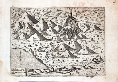
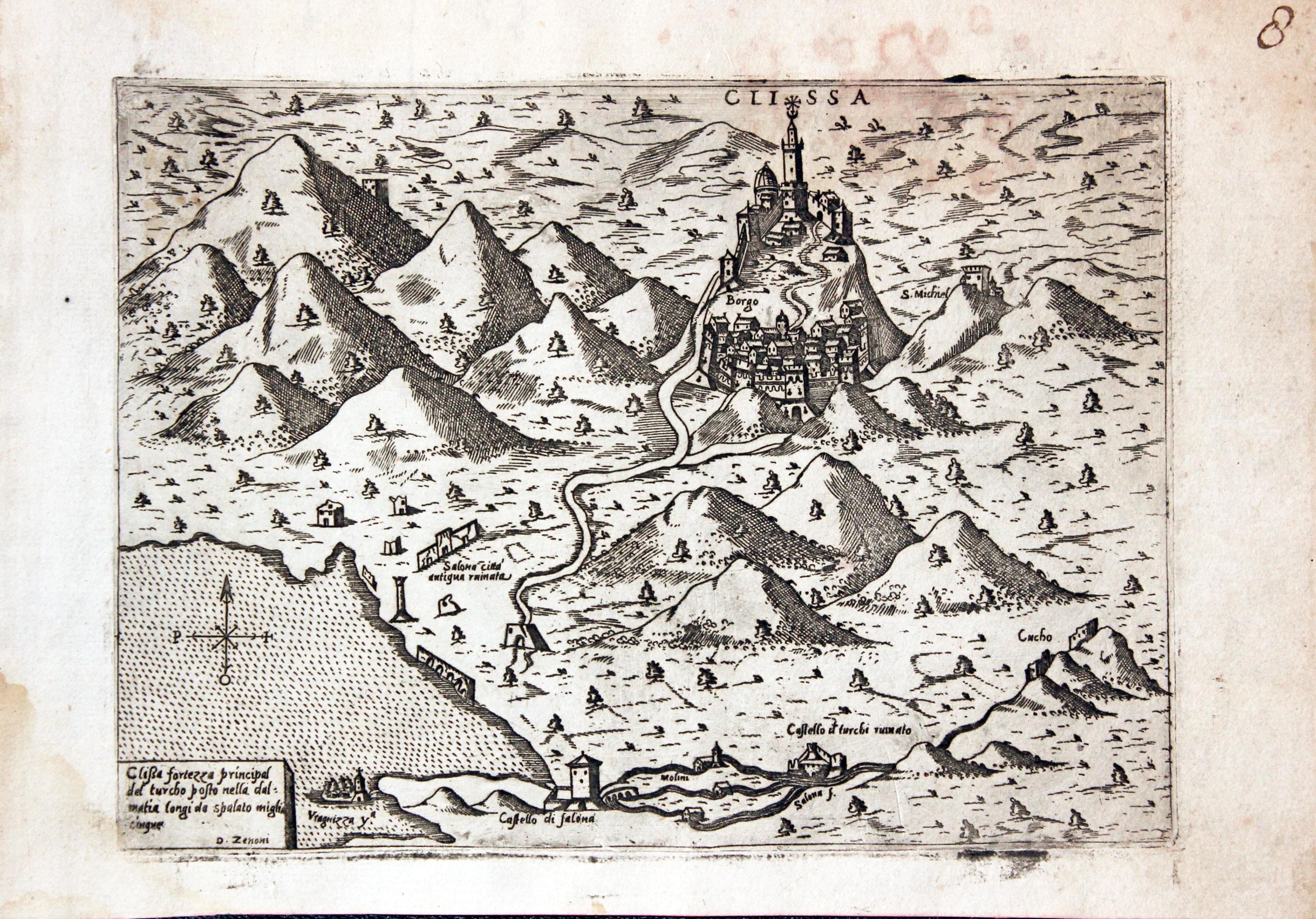
Klis, Croatia Donato Bertelli c.1574
12474 Klis, Donato Bertelli, c.1574. Price: 240.00
CLISSA
An interesting early engraved map showing the medieval fortress located near Split which became a royal castle and the seat of many Croation kings. Due to its strategic position it had a long history of being lost and reconquered. Taken from the work of Domenico Zenoi whose name appears in the small title panel at the bottom left of the map. 8 x 6 inches. Uncoloured. A little very light water staining otherwise good clean undamaged condition. Manuscript figure 8 in the top right hand blank margin.
From: Civitatum aliquot insigniorum et locorum magis munitorum exacta delineatio published in Venice
The fortress was used as a location for the fictional city of Meereen in the series Game of Thrones
18th Century - Sea Chart
-

Trieste, Joseph Roux, 1764
27926 Trieste, Joseph Roux, 1764. Price: 60.00
TRIESTE
A small engraved chart showing the town and harbour of Trieste. Shows the depth soundings and anchorage points7 1/2 x 5 inches. Uncoloured. Good condition.
Plate 65 From: Receuil Des Principaux Plans; des Ports, et Rades de la Mer Mediterranée, Estraits, de ma. Carte Douze Feüilles.... Marselle 1764
18th Century - Sea Chart
-

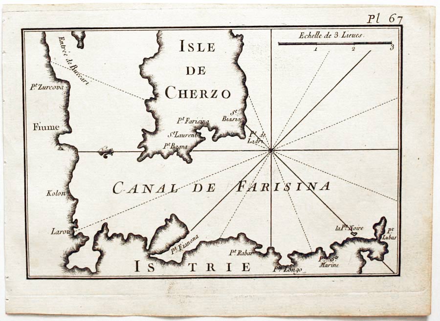
Cherso and Fiume, Joseph Roux, 1764
27986 Cherso and Fiume, Joseph Roux, 1764. Price: 44.00
ISLE DE CHERZO
A small engraved chart orientated with east at the top showing the northern part of the island of Cherso with the mainland including the city of Fiume. Shows the depth soundings and anchorage points. 7 1/2 x 5 inches. Uncoloured. Good condition.
Plate 67 From: Receuil Des Principaux Plans; des Ports, et Rades de la Mer Mediterranée, Estraits, de ma. Carte Douze Feüilles.... Marselle 1764
16th Century
-

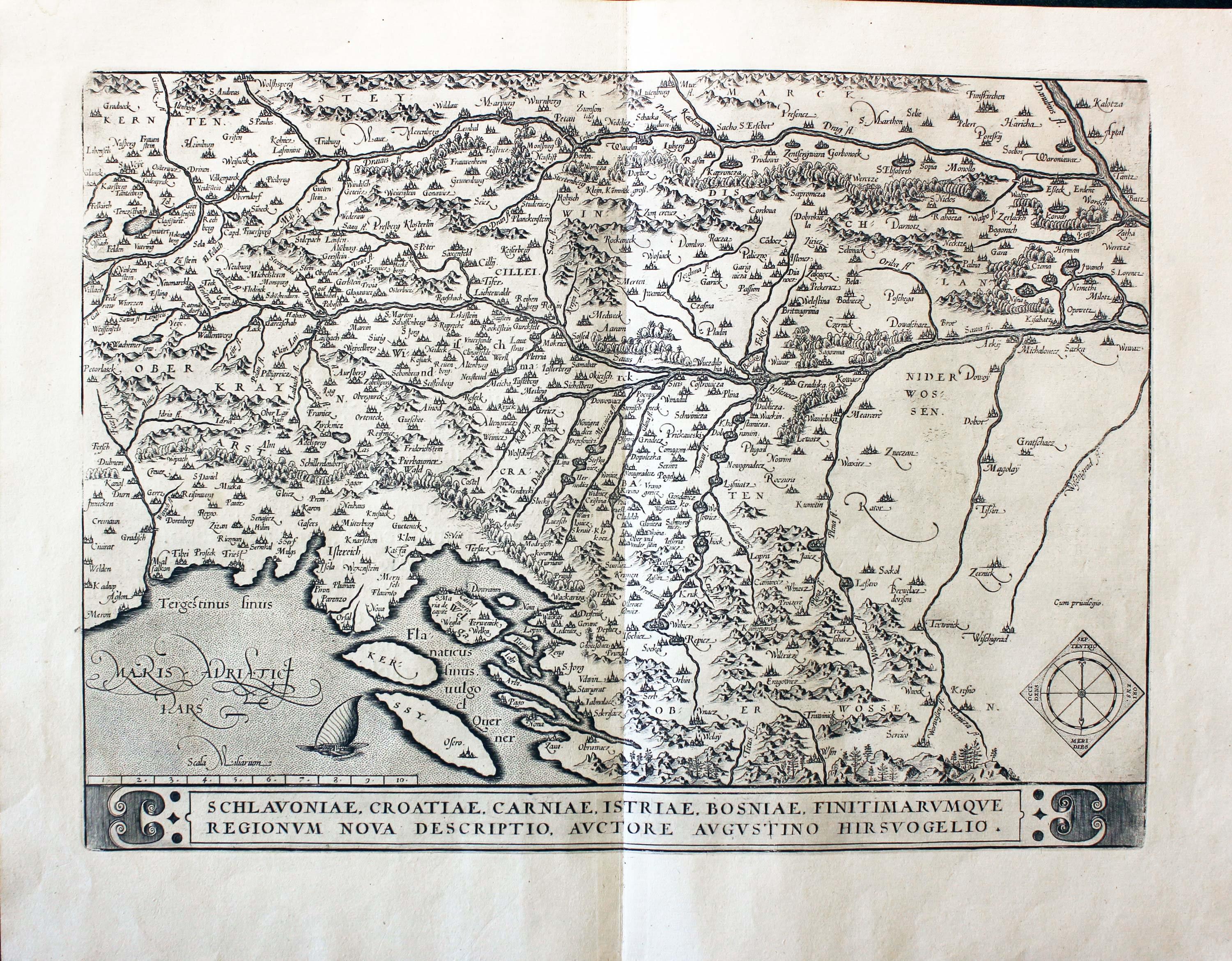
Western Balkans, Abraham Ortelius 1595
31681 Western Balkans, Abraham Ortelius, 1595. Price: 260.00
SCHLAVONIAE, CROATIAE, CARNIAE, ISTRIAE, BOSNIAE, FINITIMARUMQUE REGIONUM NOVA DDESCRIPTIO, AUCTORE AUGUSTINO HIRSVOGELIO
A fine early map of Northern Dalmatia. The title appears within a panel across the base of the map. Sailing vessel on the Adriatic and compass pointer. Latin text on verso. 18 x 13 inches. Uncoloured. Original centre fold. Superb clean and undamaged condition.
From: Ortelius: Theatrum
18th Century - Early Hand Colouring
-

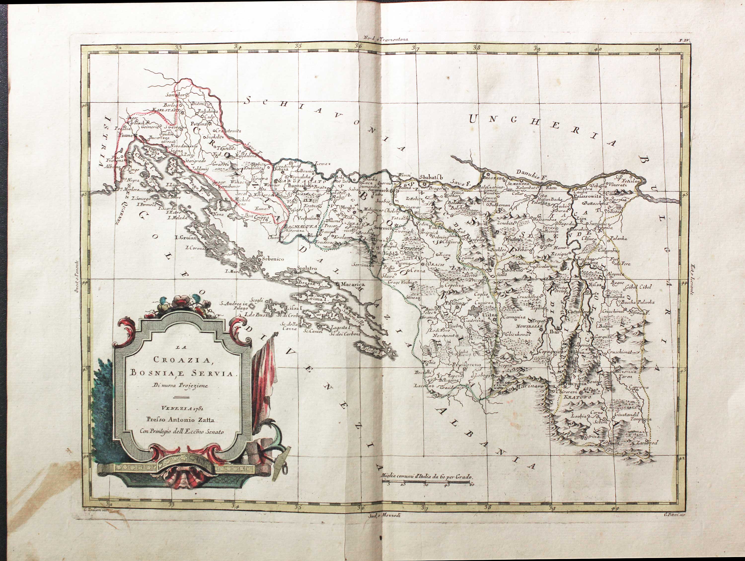
Croatia, Bosnia and Serbia, Antonio Zatta 1779
31754 Croatia, Bosnia and Serbia, Antonio Zatta 1779. Price: 110.00
LA CROAZIA, BOSNIAE, SERVIA
An engraved map of the Dalmatian coast from Istria to Dubrovnic, then away from the coast to Dmitrovgrad (Zaribrod) in Serbia. Decorative title cartouche which is dated 1781. 16 x 12 1/4 inches. Original hand colouring. Centre fold as published. Old stain in the bottom left hand blank margin otherwise good condition. Straight from the atlas and not sold previously as a single map.
From: Atlante Novissimo
16th Century
-

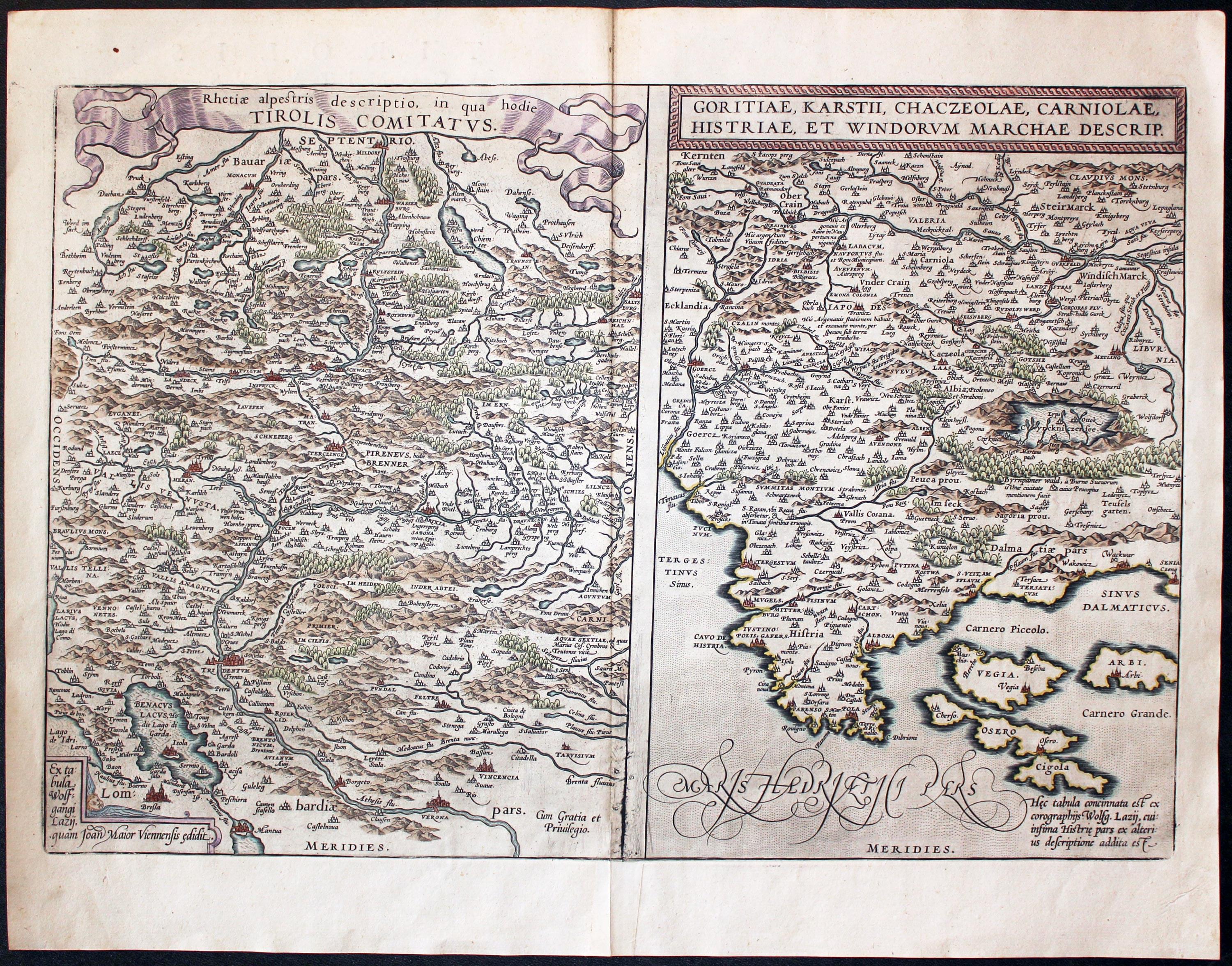
Tyrol and Istria, Abraham Ortelius, 1595
32012 Tyrol and Croatia, Abraham Ortelius, 1595. Price: 225.00
RHETIAE ALPESTRIS DESCRIPTIO IN QUA HODIE TIROLIS COMITATUS / GORITIAE, KARSTII, CHACZEOLAE, CARNIOLAE, HISTRIAE, ET WINDORUM MARCHAE DESCRIP.
Two maps on one sheet by this famous 16th century cartographer. The one on the left shows the historical region of the Alps i western Austria and northern Italy. The map extends as far south as Verona. The other map shows the Istria peninsular in the Adriatic Sea with part of Croatia. Together they measure some 19 1/2 x 12 13/4 inches. Original centre fold. Latin text on verso. Later hand colouring. Fine clean crisp condition. This map has come straight from the atlas and is offered for the first time as a single map. From Theatrum Orbis Terrarum
18th Century
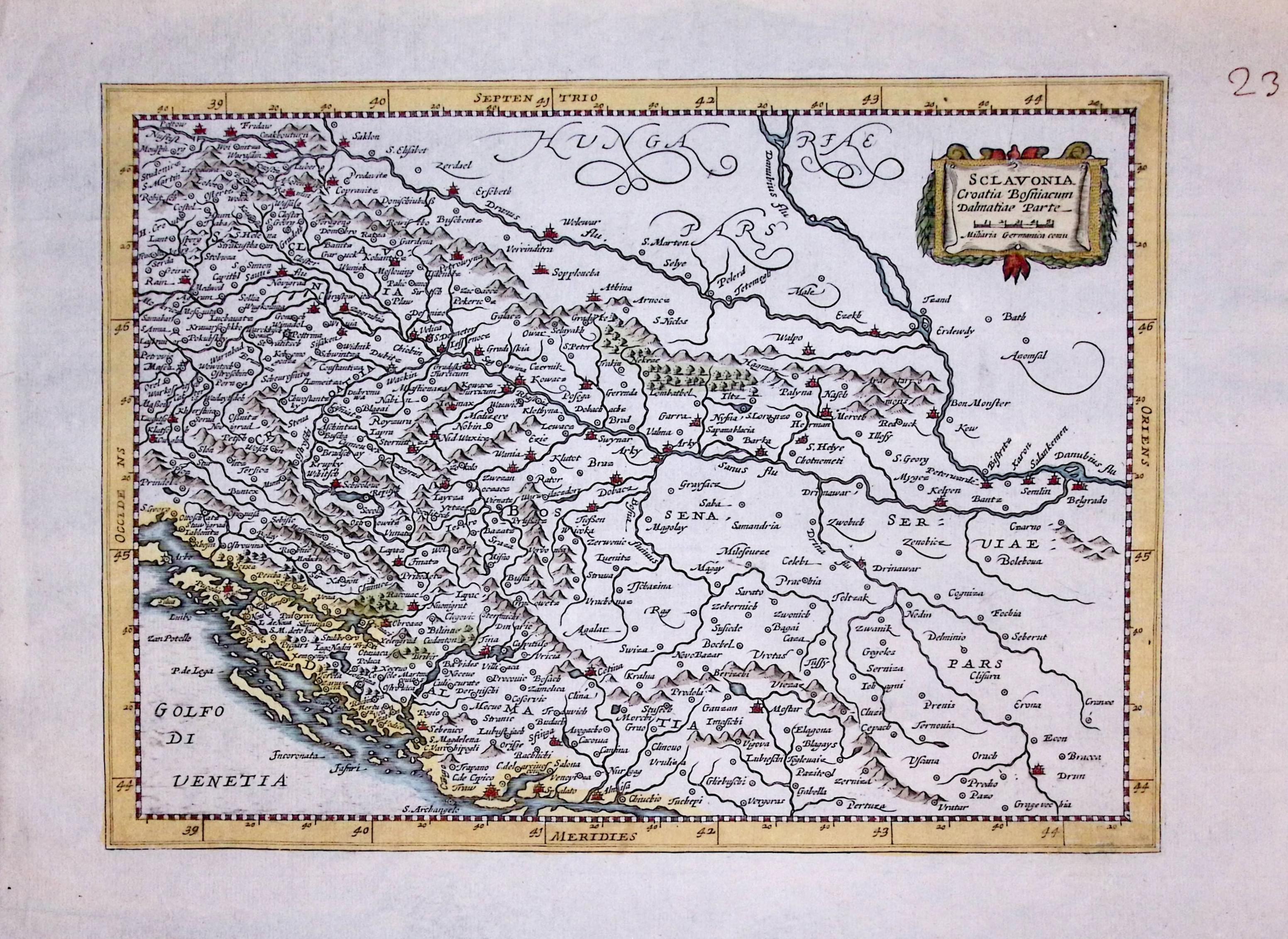
33547 Slovenia, Croatia and Bosnia, Henri du Sauzet, 1734. Price: 37.00
SCLAVONIA CROATIABOSNIACUM DALMATIAE PARTE
An engraved map showing part of the Dalmatian Coast with Croatia and Bosnia. Small decorative cartouche displaying the title and scale. 10 x 7 1/4 inches. Hand coloured. Manuscript number 238 in the right hand blank margin. Good clean condition
17th Century
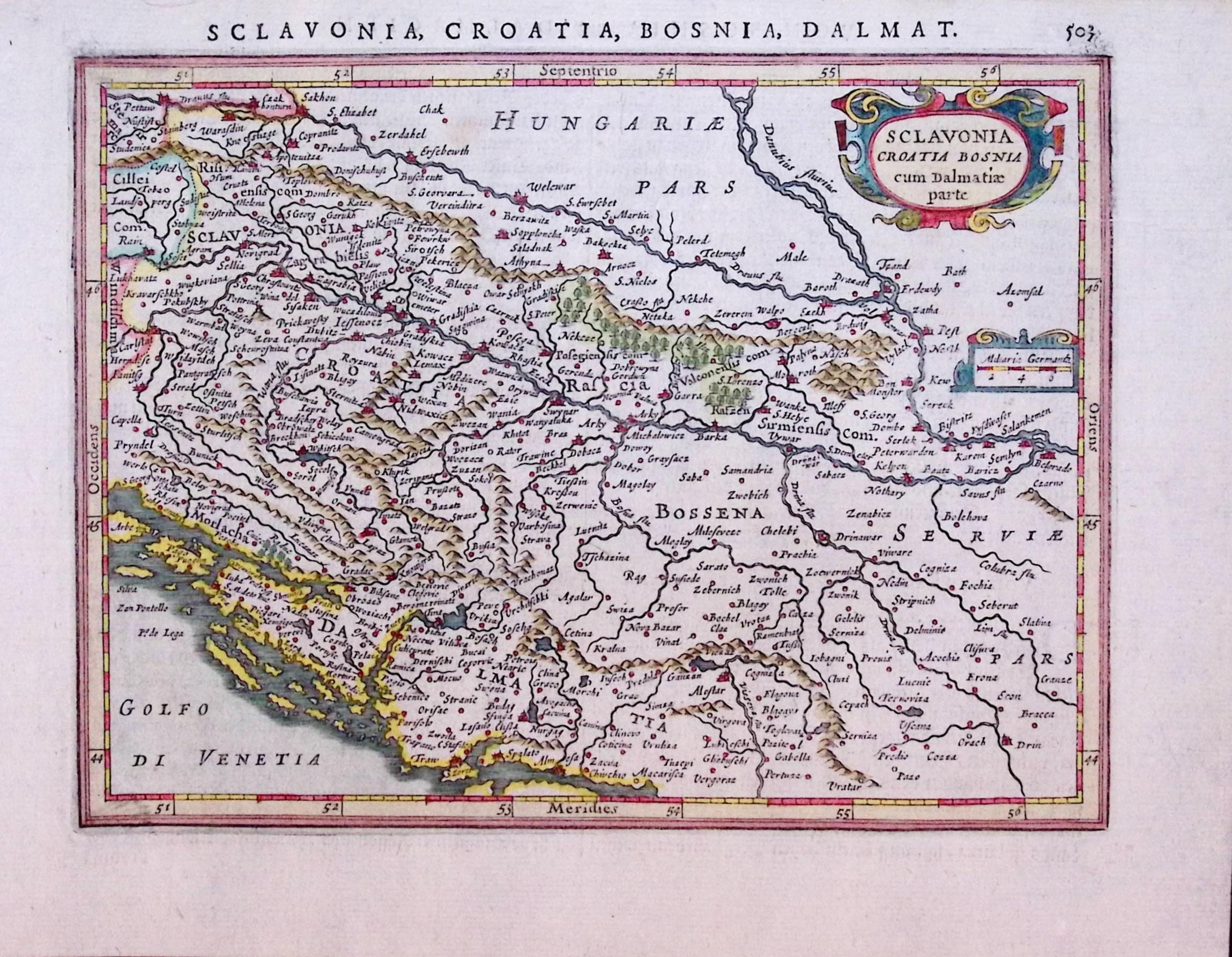
33552 Slovenia, Croatia and Bosnia, Mercator / Jansson, 1631. Price: 58.00
SCLAVONIA CROATIA BOSNIA CUM DALMATIAE PARTE
A small early engraved map of parts of Slovenia, Bosnia , Serbia and the Dalmatian coast. Decorative title and scale cartouches. 7 1/2 x 5 1/2 inches. German text on verso. Hand coloured. Good clean undamaged condition.
From: Atlas Minor
