ANTIQUE MAPS of NETHERLANDS
and HOLLAND
Richard Nicholson of Chester
A World of Antique Maps and Prints
Established in 1961
All the Maps on this page are guaranteed to be genuine early specimens
pubished in or around the year stated
NETHERLANDS
Early 19th Century - Original Hand Colouring
-
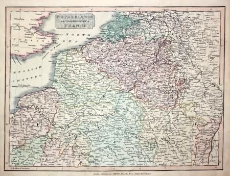
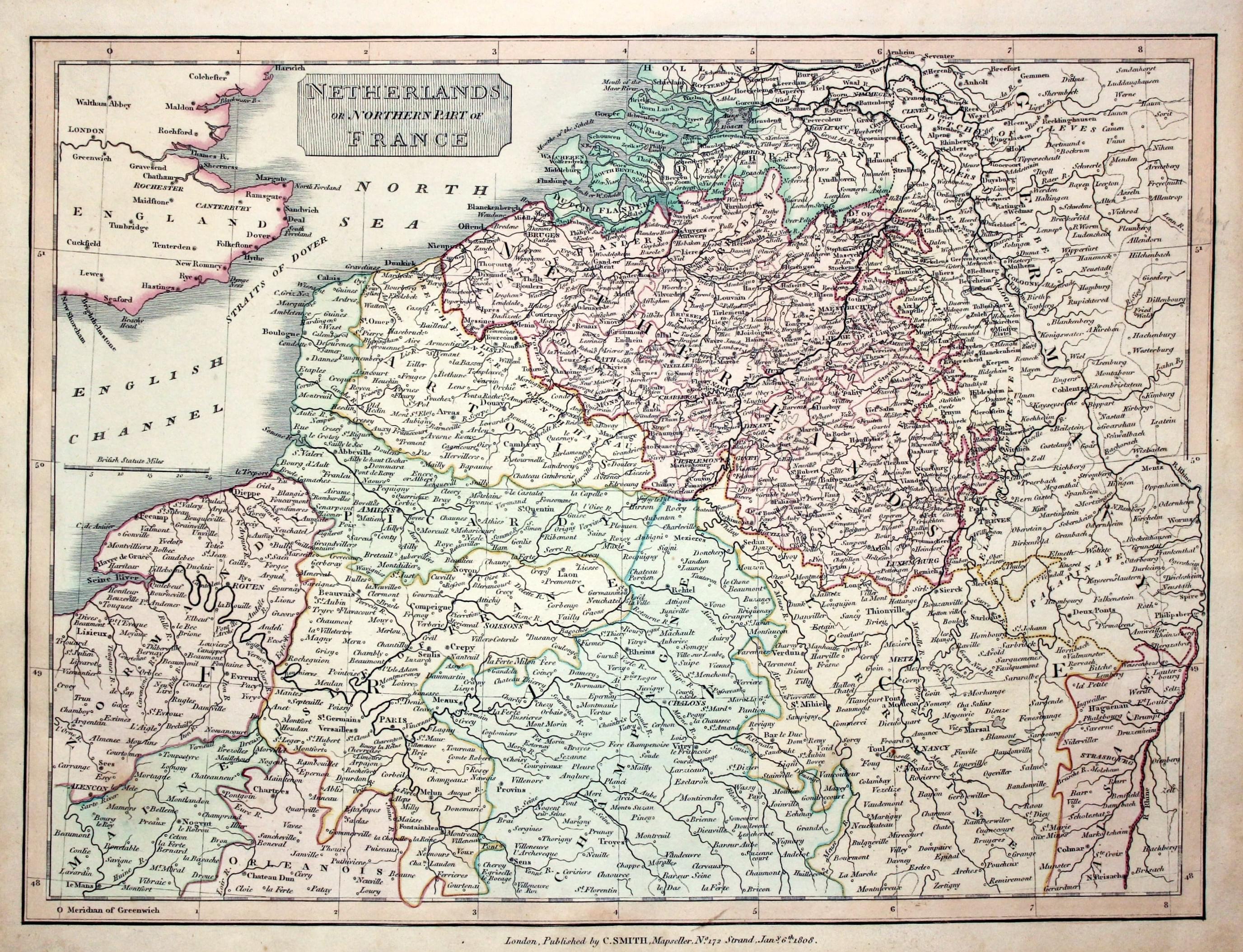
Netherlands and Northern France, Charles Smith, 1808
23035 Netherlands and Northern France, Charles Smith, 1808. Price: 37.00
NETHERLANDS OR NORTHERN PART OF FRANCE
An engraved map of the Netherlands and extending as far south as Le Mans. Title panel. Publisher's imprint date 1808. 14 x 10 1/4 inches. Original outline and wash colouring. Good condition.
From: New General Atlas
Early 18th Century - Original Hand Colouring
-

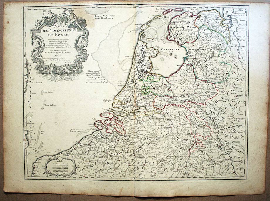
Netherlands, Guillaume de L'Isle c.1726
25208 Netherlands, Guillaume de L'Isle, c.1726. Price: 100.00
CARTE DES PROVINCES UNIES DES PAYS...1702
A good large engraved map of the Netherlands. A large decorative cartouche displays the title. 24 x 18 1/2 inches. Original outline hand colouring. A little light foxing in the margins. Brown area top right of the cartouche as will be seen on the illustration.
18th Century
-

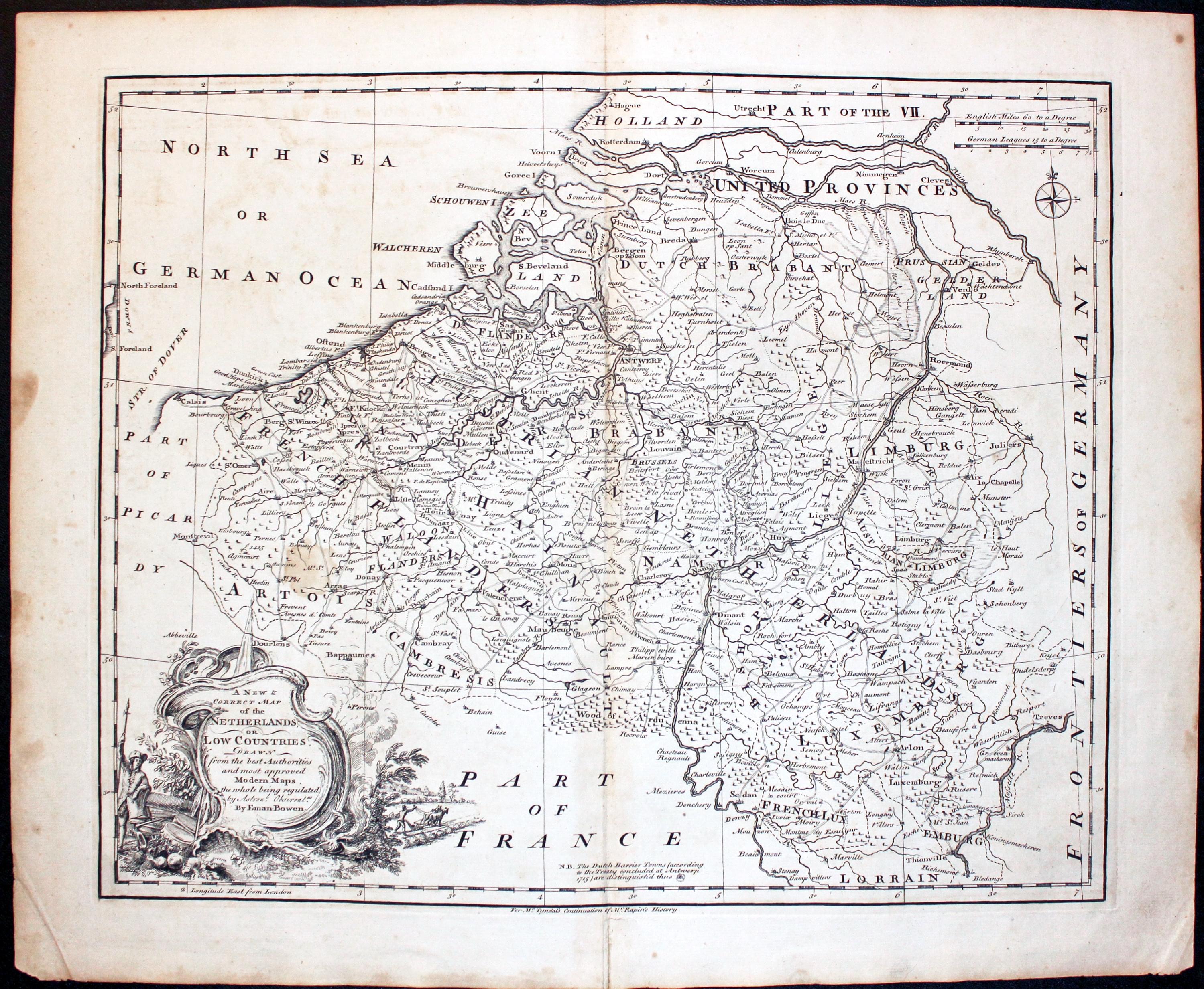
Netherlands, Emanuel Bowen c.1745
26256 Netherlands or Low Countries, Emanuel Bowen. Price: 75.00
A New & Correct Map of the Netherlands or Low Countries. Drawn from the best Authorities and most approved Modern Maps the whole being regulated by Astronl. Observat. By Emanuel Bowen
An engraved map of the Netherlands and Luxembourg. Decorative title cartouche. Two scales and compass pointer. 16 3/4 x 13 1/2 inches. Uncoloured. Centre fold as published. Small light brown stain in the map area and a few other marks on edge of the left hand blank margin. Otherwise good clean undamaged condition.
From: Mr. Tyndal’s Continuation of Mr. Rapin’s History
19th Century - Early Hand Colouring
-

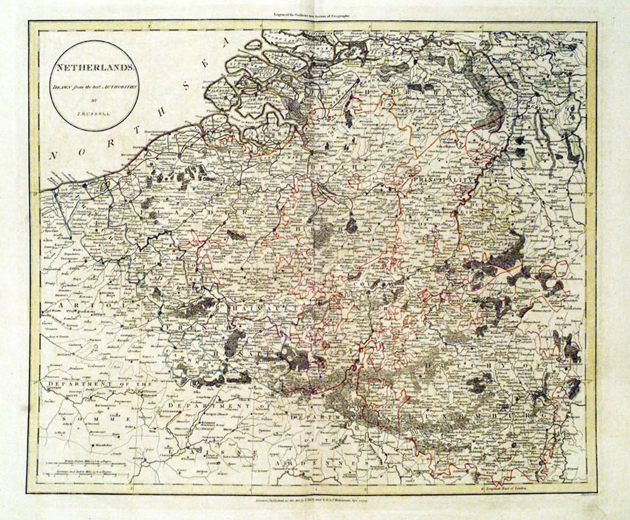
Netherlands John Russel 1800
26487 Netherlands, John Russell, 1800. Price: 39.00
NETHERLANDS DRAWN FROM THE BEST AUTHORITIES BY J. RUSSEL
An engraved map with a circular title panel. 17 3/4 x 15 1/2 inches. Original outline hand colouring. Small tear in the bottom blank margin otherwise good clean condition. Dated 1799 beneath map with publisher’s inscription.
From: The Atlas to Guthrie’s System of Geography. Engraved for G. G. and J. Robinson, Pater-noster Row, and J. Mawman (Succesor to Mr. Dilly), Poultry. S. Hamilton, Printer, Falcon-court, Fleet Street. Price of the atlas when published half bound was one guinea.
18th Century - Original Hand Colouring
-

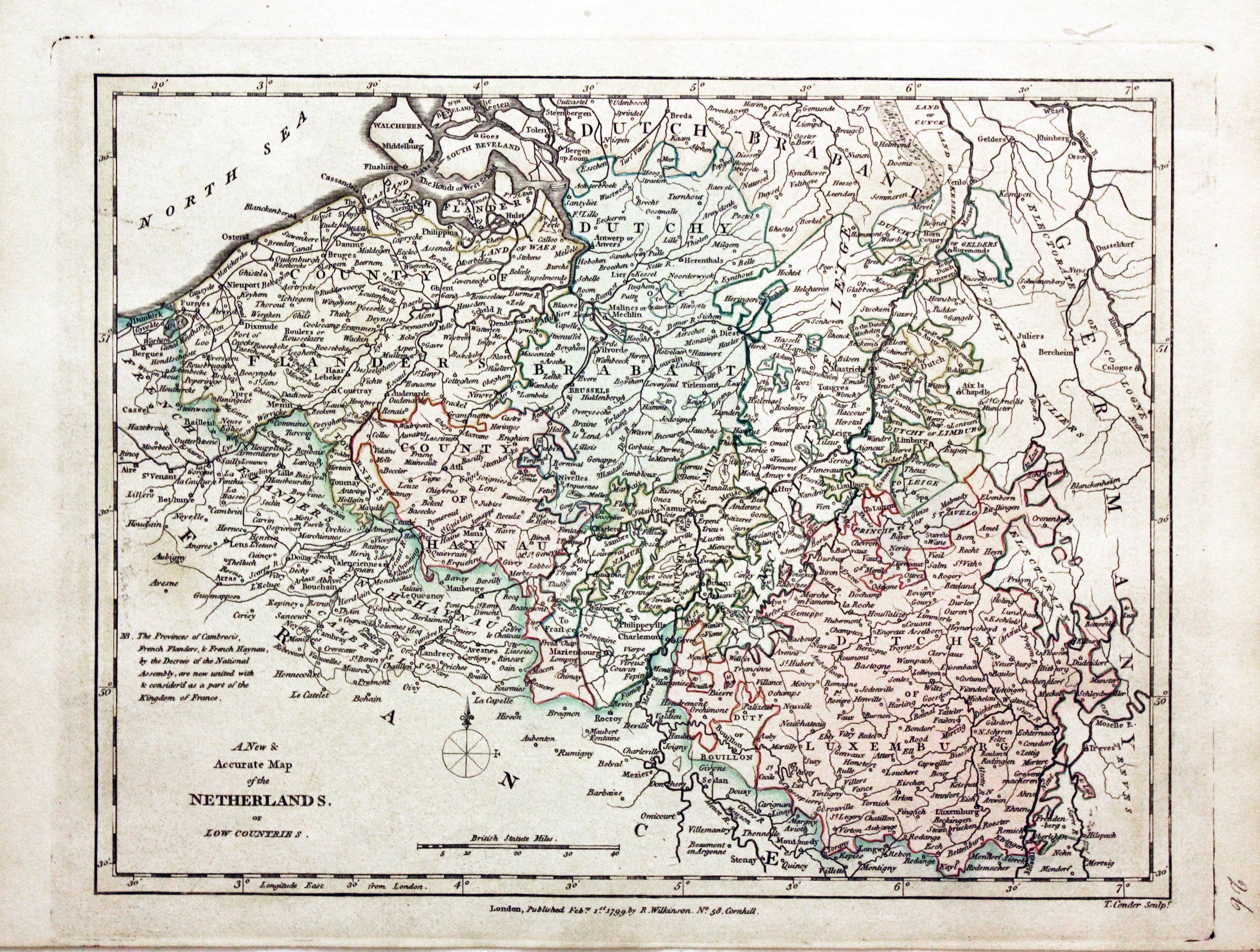
Netherlands, Robert Wilkinson, 1799
29489 Netherlands, Robert Wilkinson, 1799. Price: 42.00
A NEW & ACCURATE MAP OF THE NETHERLANDS OR LOW COUNTRIES
A map engraved by Thomas Conder. The imprint of the publisher Robert Wilkinson appears beneath the map dated 1799. 11 x 8 1/2 inches. Original outline and wash hand colouring. Good stout paper. Manuscript number 26 in blank margin. A nice specimen.
From: A General Atlas being A Collection of Maps of the World and Quarters the Principal Empires, Kingdoms &c, with their several Provinces & other Subdivisions, Correctly Delineated
19th Century - Original Hand Colouring
-

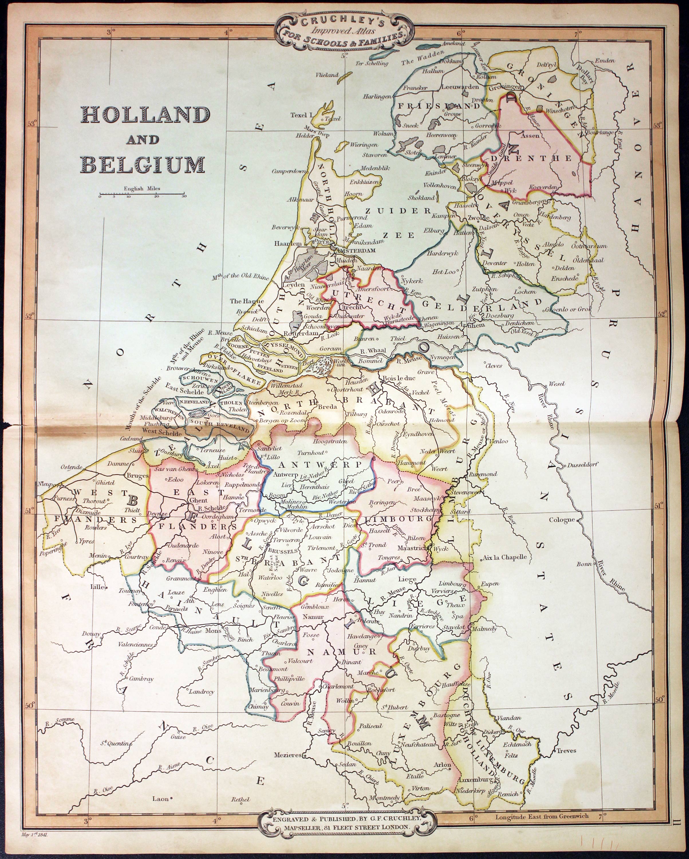
Holland and Belgium, George Frederick Cruchley, 1848
31519 Holland and Belgium, George Frederick Cruchley, 1848. Price: 44.00
HOLLAND AND BELGIUM
A clearly engraved map bearing the imprint May 1st 1842. Publishers rococo cartouche inscribed Cruchley’s Improved Atlas, for Schools & Families. 13 3/4 x 17 1/4 inches. Original outline and wash hand colouring. Tiny split at one end of the centre fold with very small piece of the blank margin missing. Otherwise good condition.
From: Cruchley’s General Atlas for the use of Schools and Private Tuition
17th Century
-

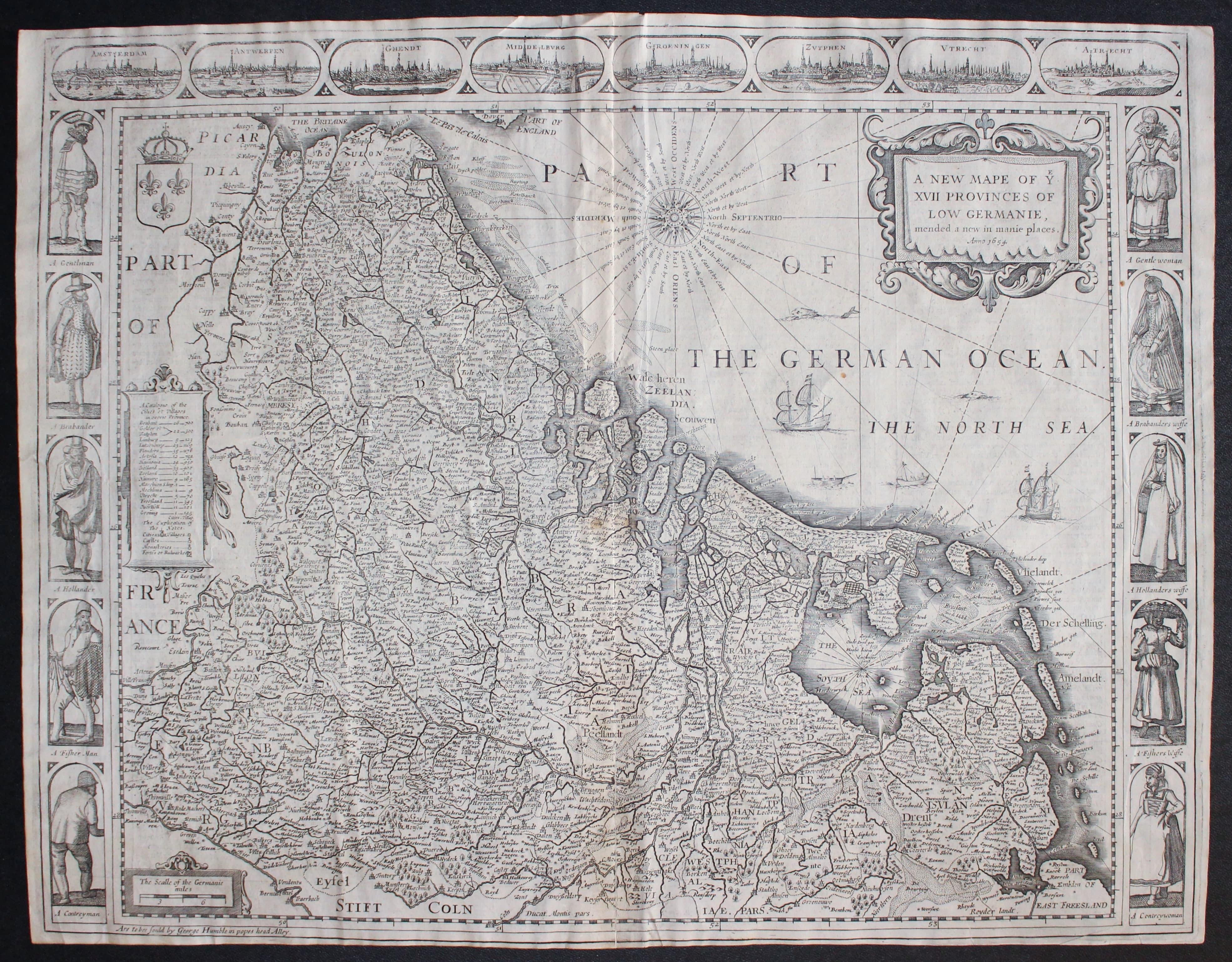
Map of the Netherlands by John Speed c.1654
33012 Netherlands, John Speed, c.1654. Price: 460.00
A NEW MAPE OF YE XVII PROVINCES OF LOW GERMANIE, MENDED A NEW IN MANIE PLACES ANNO 1654
A fine engraved 17th century map of the region orientated with west at the top. Decorative title cartouche bearing the date of 1654. Compass rose, explanation cartouche, scale cartouche, ships and coat of arms further embellish the map. Across the top of the map are eight panels each displaying a town view including Amsterdam, Antwerp, Ghent and Zutphen. Down the two sides of the map are panels illustrating a total of ten costumed figures. The name of the publisher George Humble appears in the bottom left hand printed margin. Original centre fold. Description in English on verso. Good clean crisp condition. Small bottom blank margin. Some light creasing.
From: Prospect of the Most Famous Parts of the World
This map has been taken straight from the atlas and therefore not previously been offered for sale as a single map
17th Century Town Plans
-
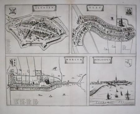
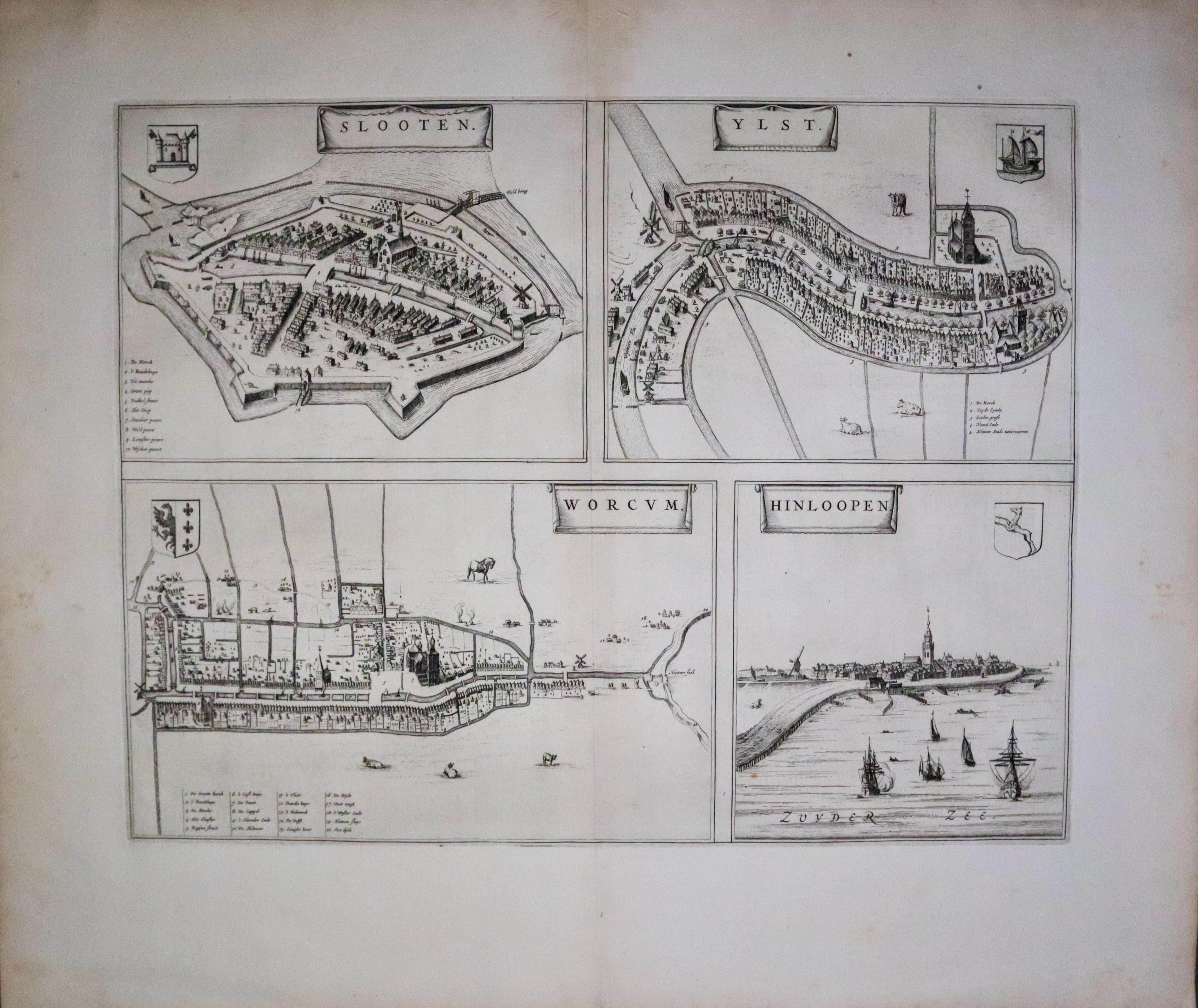
Sloten, IJist, Workum and Hindeloopen Joan Blaeu 1649
-
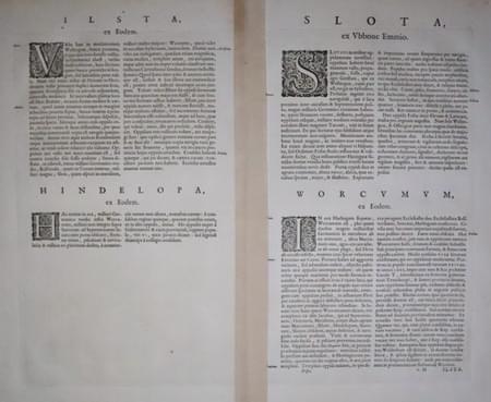
Latin text for Sloten, IJist, Workum and Hindeloopen Joan Blaeu 1649
33540 Sloten, IJist, Workum and Hindeloopen, Joan Blaeu, 1649. Price: 240.00
SLOOTEN / YLST / WORCUM and HINDELOOPEN
A 17th century folio sheet displaying town plans of Sloten, IJistt and Workum and a view of Hindeloopen. Each has its own title and coat arms. The three plans each have a key listing the places of importance. In all they measure 19 3/4 x 15 1/2 inches. Uncoloured. Original centre fold. On the verso is a description of each place in Latin. Wide blank margins. This map has been taken straight from the atlas and there not previously sold as a single map. Good clean undamaged condition.
From: Novum ac Magnum Theatrum Urbium Belgicae Foederate
HOLLAND
18th Century - Original Hand Colouring
-

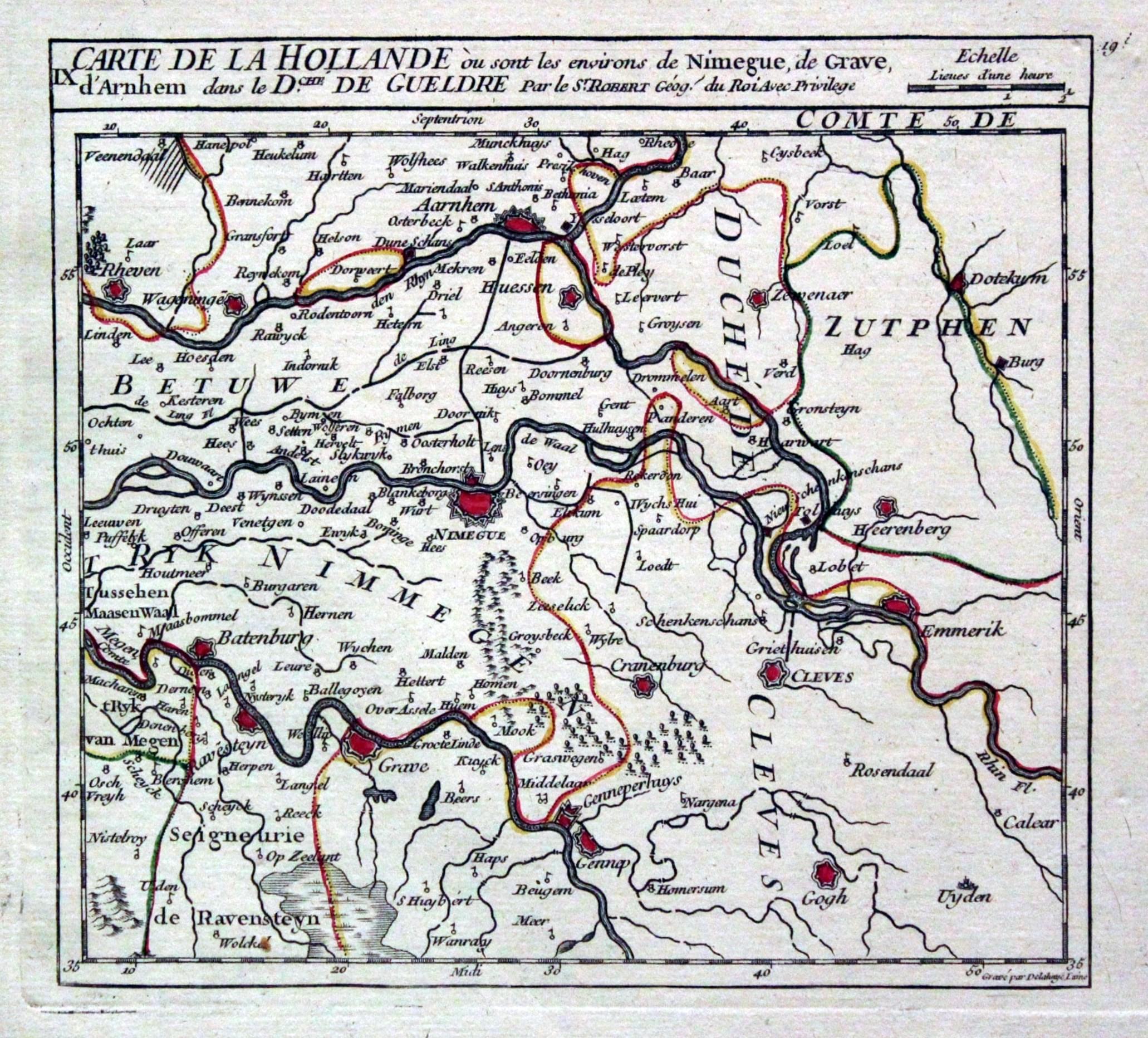
Part of Holland, G. Robert de Vaugondy, c.1768
22414 Part of Holland, G. Robert de Vaugondy, c.1768. Price: 36.00
IX. CARTE DE LA HOLLANDE OU SONT LES ENVIRONS DE NIMEGUE, DE GRAVE, D'ARNHEM DANS LE DCHE. DE GUELDRE
An engraved map of this region of Holland. The title and scale appear across the top of the map. 7 x 6 1/2 inches. Original out line hand colouring. Good condition.
From: Atlas Portatif Universal
16th Century Town Plan - Early Hand Colouring
-
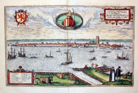
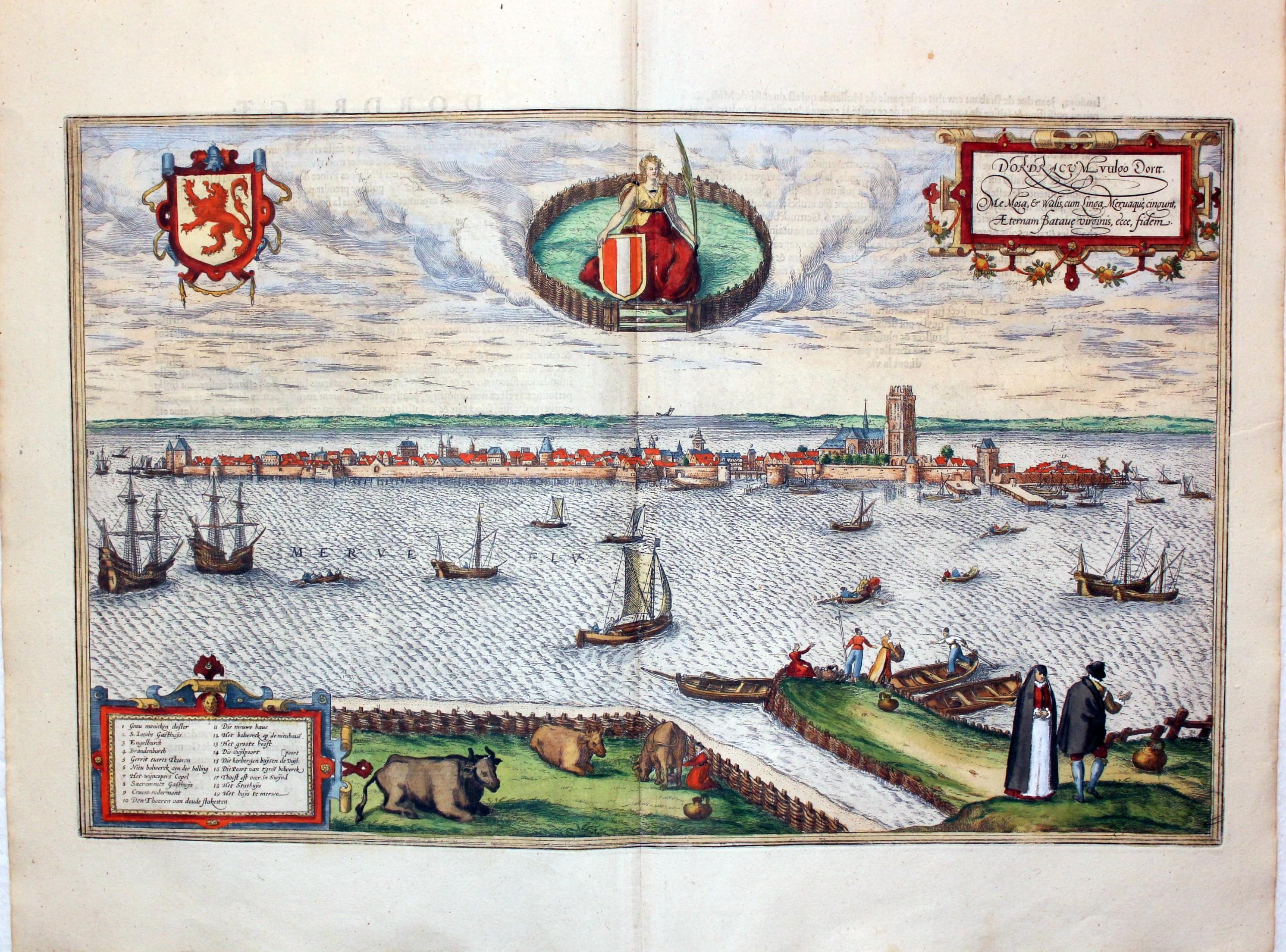
Dordrecht, Georg Braun & Franz Hogenberg, c.1600
27127 Dordrecht, Georg Braun & Franz Hogenberg, c.1600. Price: 360.00
DORDRACUM VULGO DORTT...
A glorious 16th century view of the town with figures and cattle in the foreground. Embellished with decorative cartouches and coats of arms. 19 x 12 inches. French text on verso. Fine clean condition with SUPERB EARLY HAND COLOURING.
From: Civitates Orbis Terrarum
16th Century Town Plan - Early Hand Colouring
-

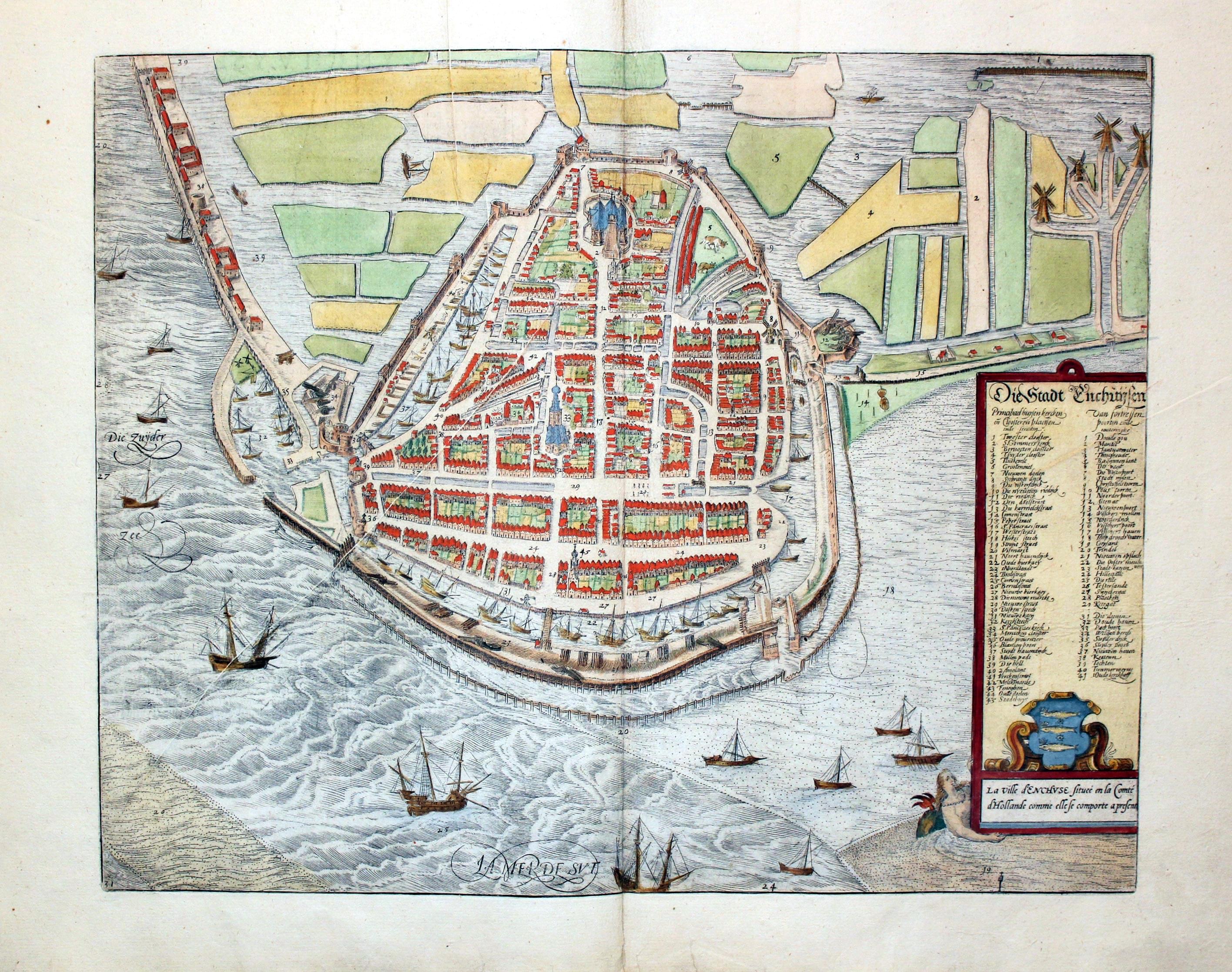
Enkhuizen, Georg Braun & Franz Hogenberg, c.1600
27141 Enkhuizen, Georg Braun & Franz Hogenberg, c.1600. Price: 320.00
DIE STADT ENCHUSEN
A 16th centiry bird’s eye view of the town. A panel with a coat of arms bears the title and a key to 41 places of interest. 17 x 13 1/2 inches, 430 x 345 mm. Early hand coloruing. French text on verso. Light printer’s crease across the left hand side of the map. Small hole near the top of the map repaired.
From: Civitates Orbis Terrarum
16th Century Town Plan - Early Hand Colouring
-

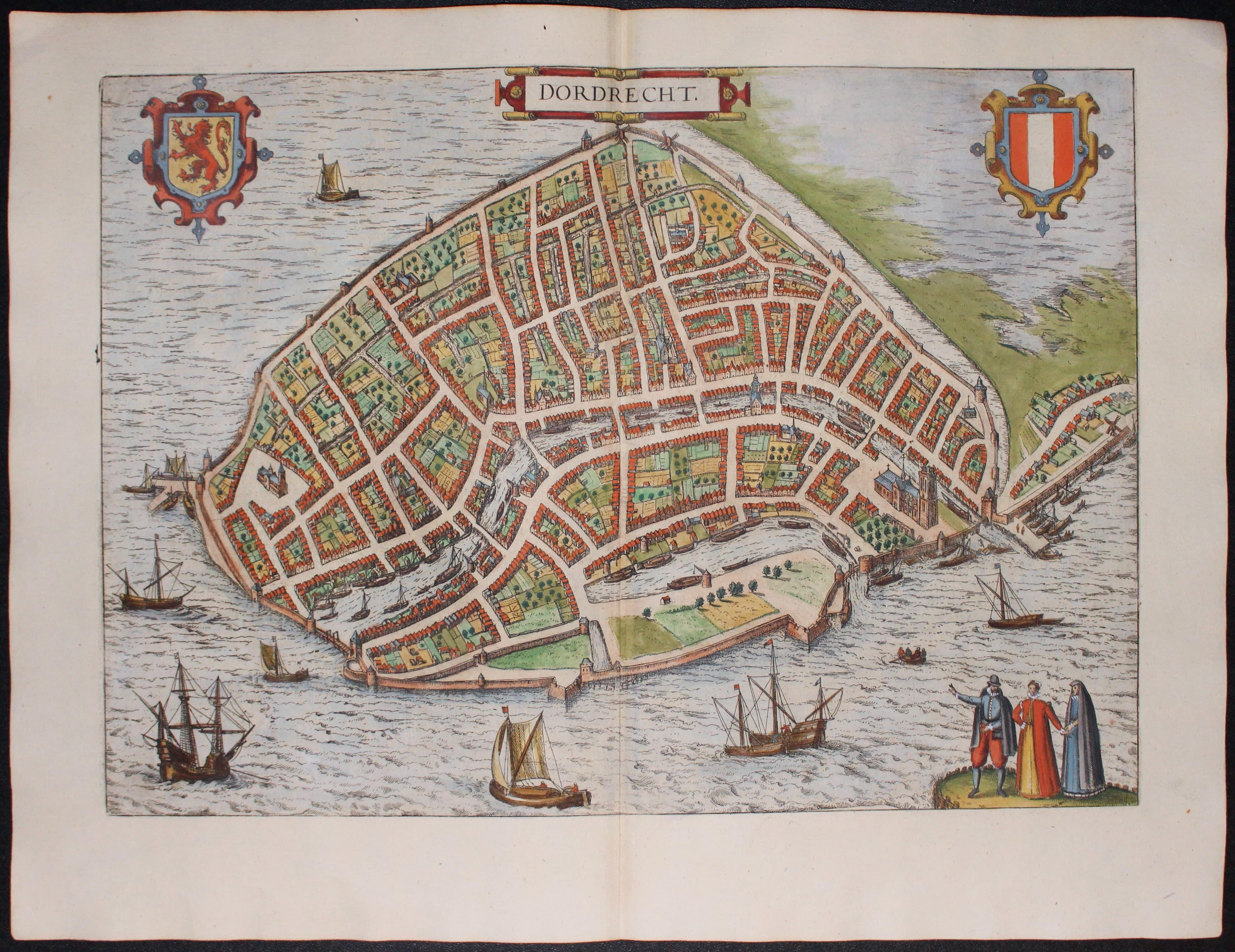
Dordrecht, Georg Braun & Franz Hogenberg, c.1600
27145 Dordrecht, Georg Braun & Franz Hogenberg, c.1600. Price: 400.00
DORDRECHT
A fine 16th century bird’s eye view plan of the town with costumes figures in the foreground. Further embellished with a decorative title cartouche, two coats of arms and ships. 18 1/2 x 13 1/4 inches. Superb early hand colouring. Good clean condition.
From: Civitates Orbis Terrarum
Late 16th Century - Town Plan
-

Katwijk, Holland, Luigi Guicciardini, 1582. Price: 95.00
29526 Katwijk, Holland, Luigi Guicciardini, 1582. Price: 95.00
RUINARUM ARCIS BRITANNICAE APUD BATAVOS TYPUS
A bird’s eye view of of the city of Katwijk, South Holland and the passage of the old Rhine to the North Sea showing the supposed Roman Heir armoury. Title banner, description cartouche, figures, ships and antiquities. 12 1/2 x 9 inches. Uncoloured. Four pages of text attached to centre fold on verso. Good condition.
From: Description de Touts les Pais-Bas autrement appelles la Germamie Inferieure ou Basse Allemagne
Guicciardini wrote in his famous work "Beschryvinghe van alle de Nederlanden" that the remains of the armoury could be physically examined during 20 days in the year 1552. Inscriptions and coins were found and described. The print shows some found objects.
19th Century
-

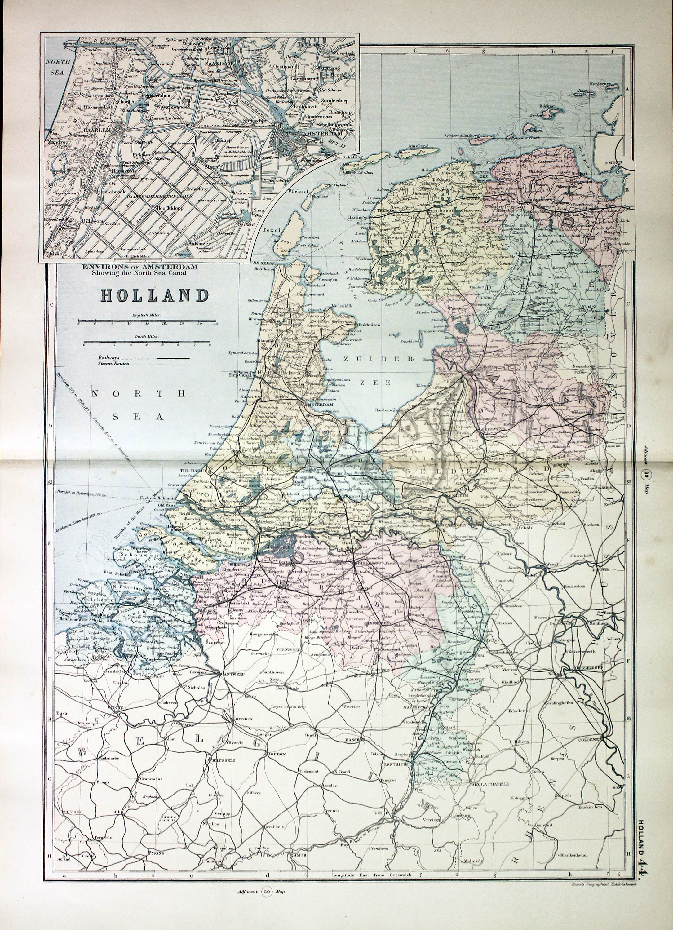
Holland, George Washington Bacon, 1891
31141 Holland, George Washington Bacon, 1891. Price: 18.00
HOLLAND
A good detailed map embellished with an inset map Environs of Amsterdam. 11 3/4 x 17 inches. Colour printed. Good blank margins. Good clean condition. Original centre fold.
From: Complete Atlas of the World
16th Century
-
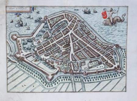
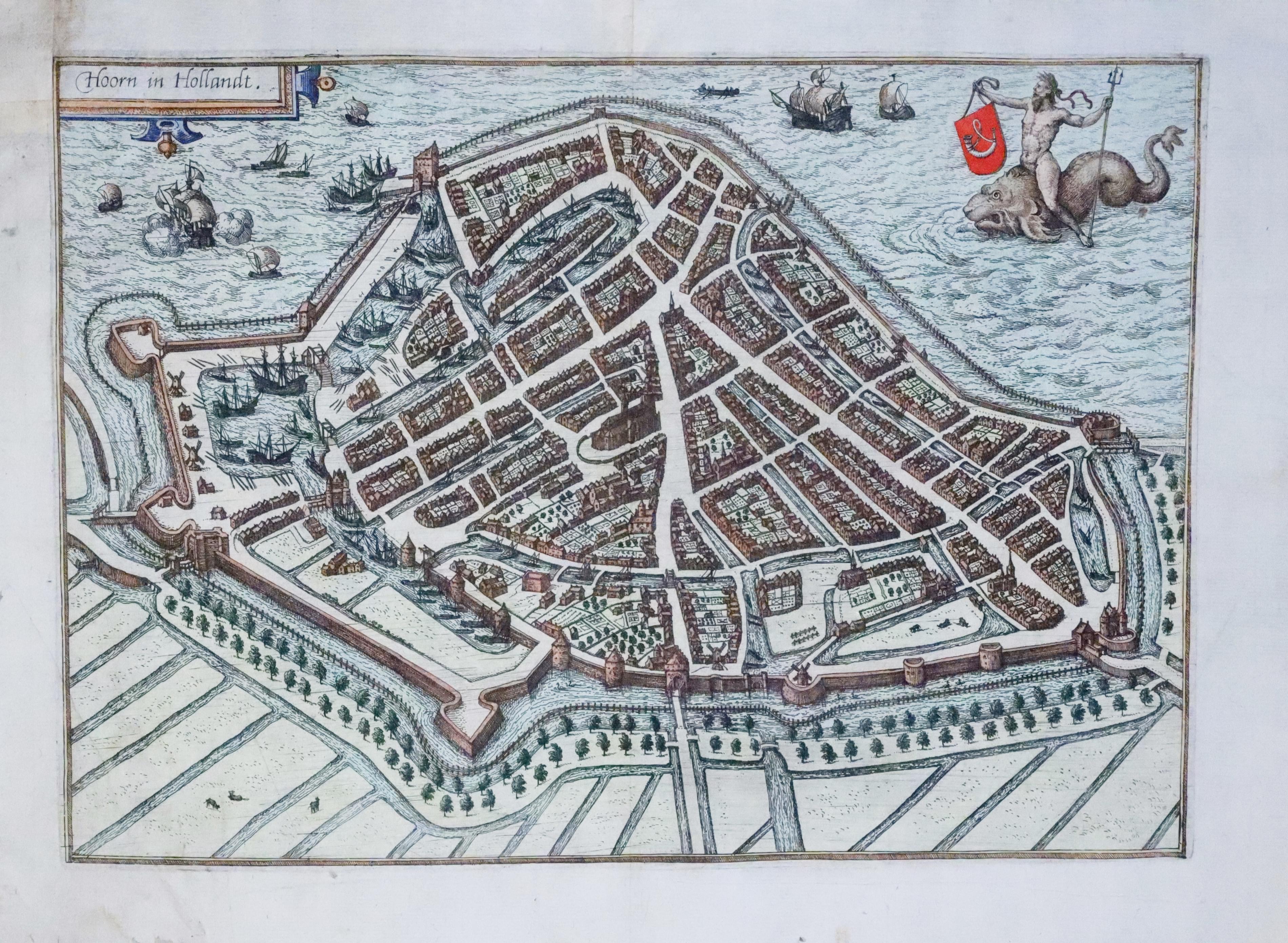
Plan of Hoorn in Holland by Luigi Guicciardini 1582
33327 Hoorn, Luigi Guicciardini, 1582. Price: 120.00
HOORN IN HOLLANDT
A fine early bird's eye view town plan. Neptune is shown riding a sea monster and holding the town arms. Shipping. 13 x 9 inches, 330 x 230 mm. Small section of blank margin in the top left hand blank corner replaced, a little creasing in the bottom left hand corner, otherwise good condition with attractive hand colouring.
From: Description de Touts les Pais-Bas autrement appelles la Germamie Inferieure ou Basse Allemagne
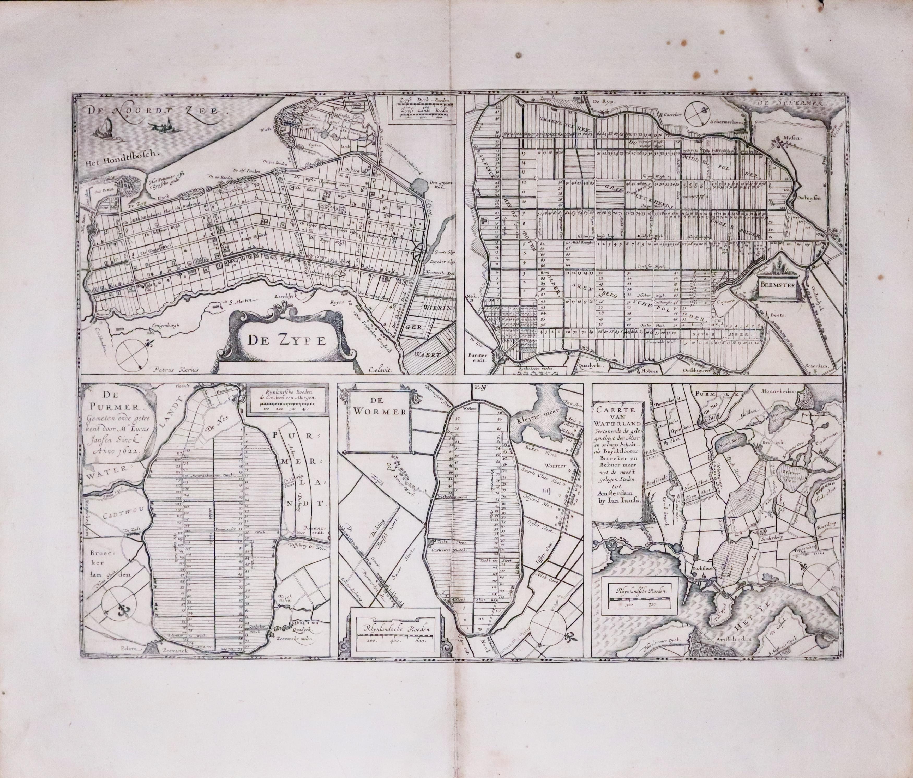
17th Century - 5 Polder Maps
33455 Five Polder Maps, Jan Jansson c.1650. Price: 180.00
DE ZYPE - BEEMSTER - DE PURMER - DE WORMER - CAERTE VAN WATERLAND
Five interesting Polder maps on one sheet. Each has its own title cartouche and scale. The De Zype map shows the name of the engraver Pieter van den Keere. In all they measure 18 1/3 x 13 3/4 inches. German text on verso. A few foxing spots in the top blank margin. Small nick on edge of top blank margin. One inch tear in the wide bottom blank margin. Original centre fold.
From: Nieuwen Atlas, Ofte Weerelt-Beschrijvinghe.
VIEWS
-
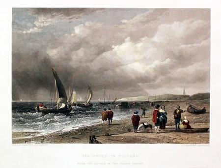
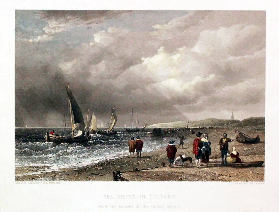
Seashore, Holland by A. W. Callcott
94323 Seashore, Holland, A. W. Callcott, c.1850. Price: 30.00
SEA-SHORE IN HOLLAND
(From the Picture in the Vernon Gallery). Sir A. W. Callcott, R.A. / J. C. Bentley, Engraver. A good steel engraved view with figures. 9 1/2 x 6 1/2 inches. Hand coloured. Good condition.
From: The Art Journal

