Antique Maps of Wales
Richard Nicholson of Chester
A World of Antique Maps and Prints
Established in 1961
All the Maps on this page are guaranteed to be genuine early specimens
published in or around the year stated
19th Century Book of Views
-
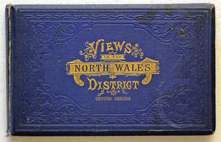
Views in North Wales T.Catherall c.1845

91069 View in North Wales. Price: 118.00
Oblong 8vo. Blue gilt titled cloth .Pictorial title page and 29 steel engraved vignette views. Includes Caernarvon, Conway, Llandudno and Rhyl. Not dated, circa 1845. Published by T. Catherall, Chester and Bangor.
Early 20th Century
-
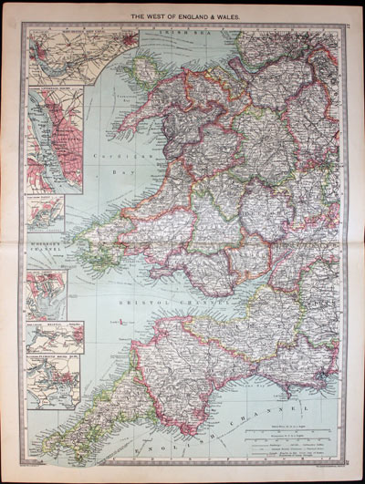
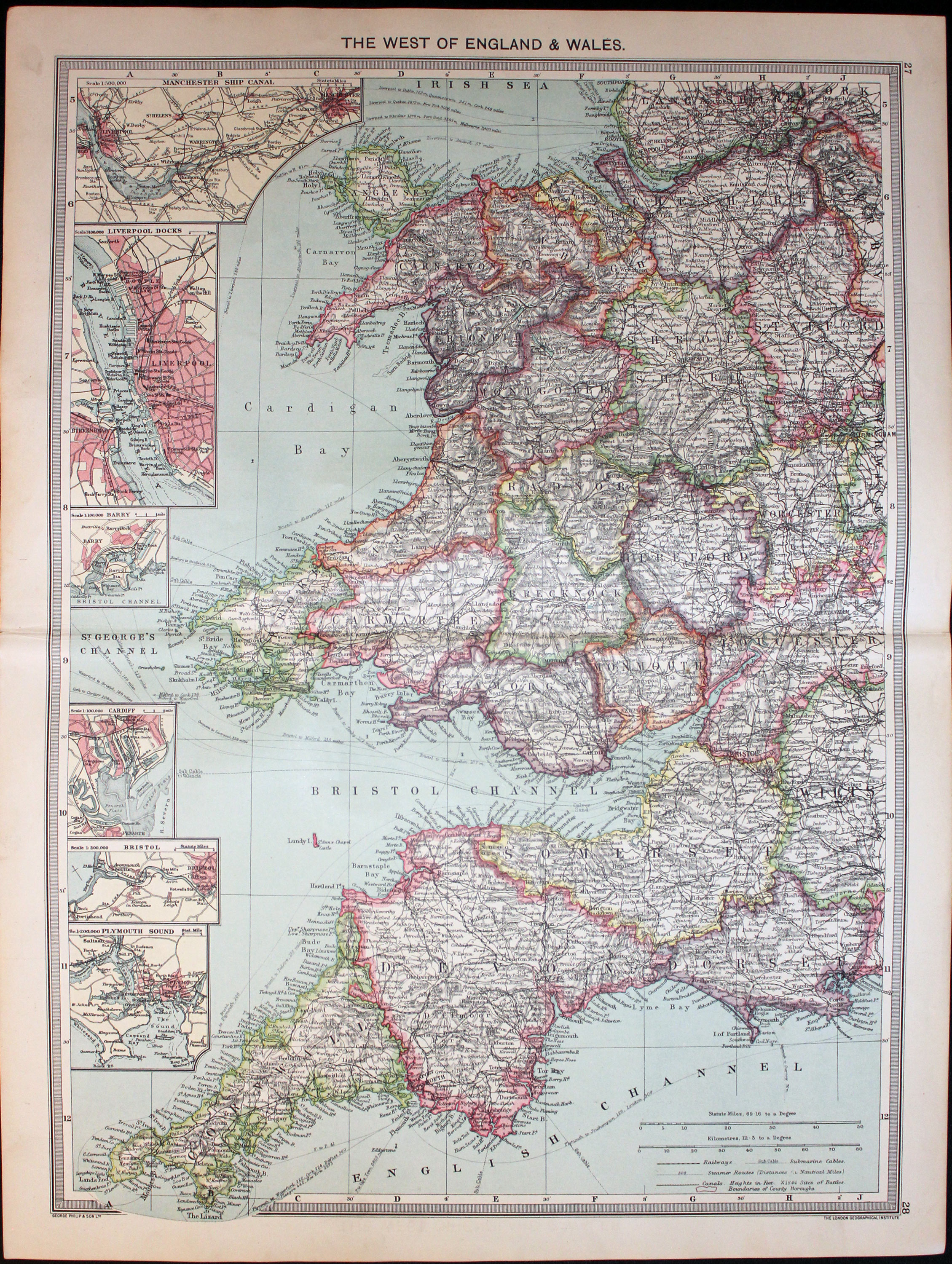
West of England & Wales, George Philip & Son c.1906
32221 West of England and Wales, George Philip & Son, c.1906. Price: 8.50
THE WEST OF ENGLAND & WALES
A detailed colour printed map extending from Southport in Lancashire in the north with the whole of Wales and South West England. Inset maps of the Manchester Ship Canal, Liverpool Docks, Barry, Cardiff, Bristol and Plymouth Sound. 13 3/4 x 18 3/4 inches. Original centre fold. Good condition.
From: The Harmsworth Universal Atlas published by The Amalgamated Press

Early 17th Century - First Edition
-
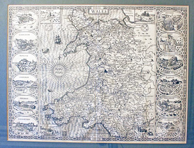
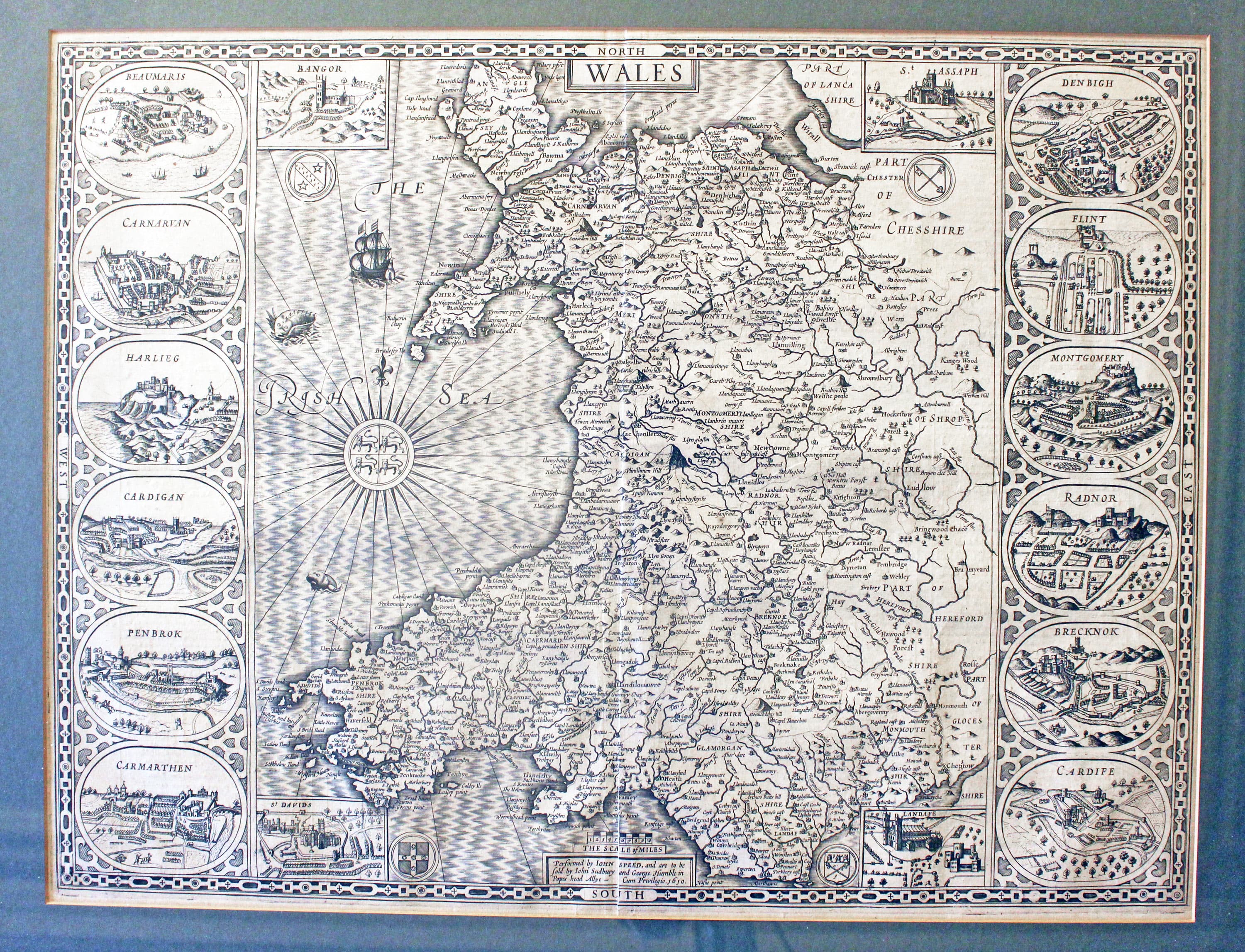
Wales, First edition map by John Speed 1610-11
-

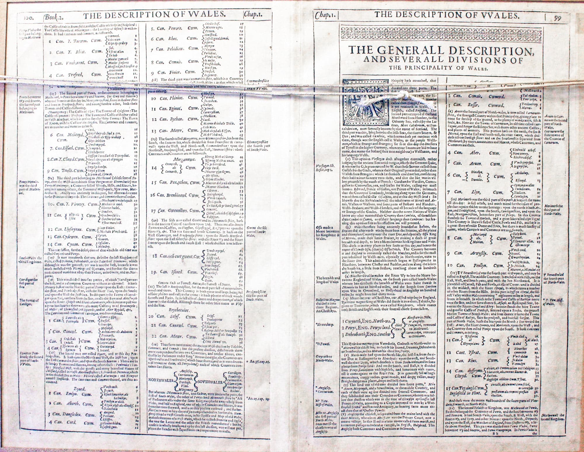
Wales John Speed 1611 Text

32138 Wales, John Speed, 1610-11. Price: 1400.00
WALES
The FIRST EDITION of this fine engraved map of the whole country published by George Humble and dated 1610. Embellished with a panel down the two sides of the map displaying a total of sixteen oval bird's eye view town plans or views of Beaumaris, Caernarvon, Harlech, Cardigan, Pembroke, Carmarthen, Denbigh, Flint, Montgomery, Radnor, Brecon and Cardiff. Compass rose with the Arms of Wales, coats of arms, ship and sea monsters. Description in English on verso. 20 x 15 inches. Uncoloured. Fine clean condition.
From: Theatre Empire of Great Britaine
This map was framed in a dark green sunk mount and a black and gilt hogarth moulding some years ago. The frame is still in good condition so ready to hang. The frame has a glass back so that the English text on verso can be read.
Only available to customers who can collect from Christleton
Late 19th Century
-

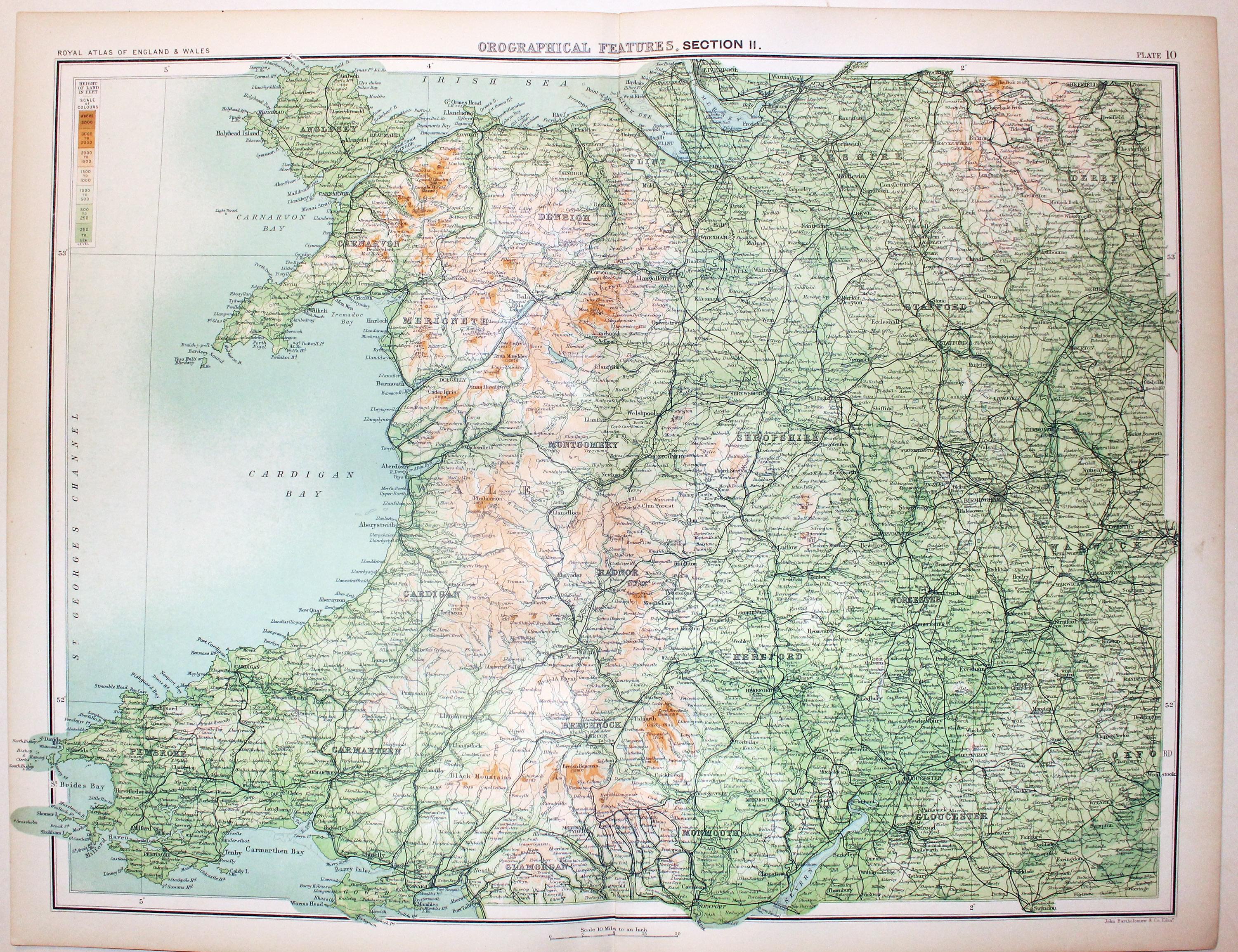
West of England & Wales, Bartholomew, c.1898

32765 Wales and West England, John Bartholomew, c.1898. Price: 19.00
GEOGRAPHICAL FEATURES, SECTION II
A colour printed map showing most of North and South Wales with the counties of Cheshire, Shropshire Herefordshire Staffordshire with parts of Derbyshire, Oxfordshire and Gloucestershire. Scale of 10 miles to the inch. Shows the railways. 16 1/2 x 12 1/2 inches. Good clean condition.
From: The Royal Atlas
18th Century - Sea Chart
-

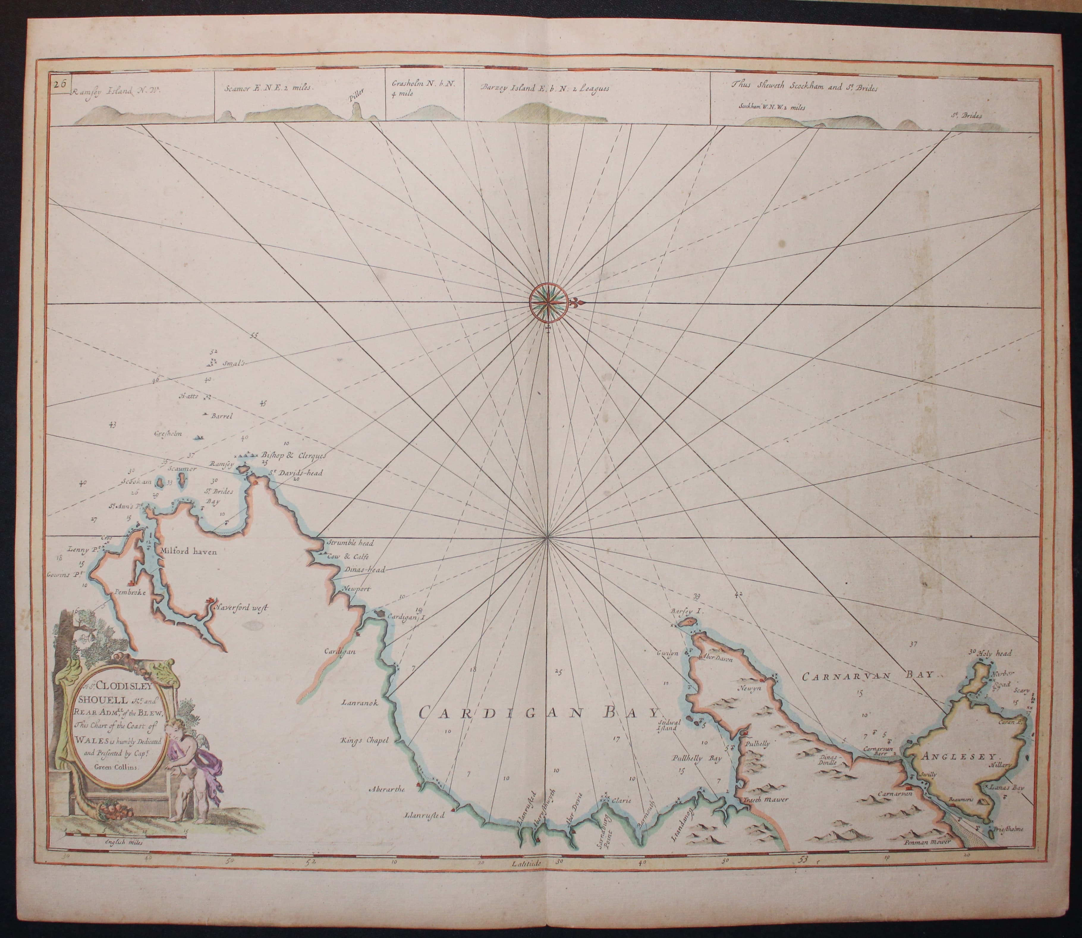
Chart of the Coast of Wales by Greenvile Collins c.1760

33177 Coast of Wales, Captain Greenville Collins, c.1760. Price: 95.00
An untitled chart showing the coast of Wales from Anglesey to Pembroke orientated with west at the top. Compass rose in the Irish sea with many rhumb lines. Across the top of the chart are five engravings of land shapes including Ramsey Island and Bardsey Island. There is no title cartouche but a decorative dedication cartouche to Sir Coudesley Shovell with putti. 22 x 17 1/2 inches. Hand coloured. Heavy paper. Vertical light brown stain mark in the sea area. Otherwise good undamaged condition.
From: Coasting Pilot

