Antique Maps of Cheshire
Richard Nicholson of Chester
A World of Antique Maps and Prints
Established in 1961
All the Maps on this page are guaranteed to be genuine early specimens
published in or around the year stated
18th Century - Canals
-

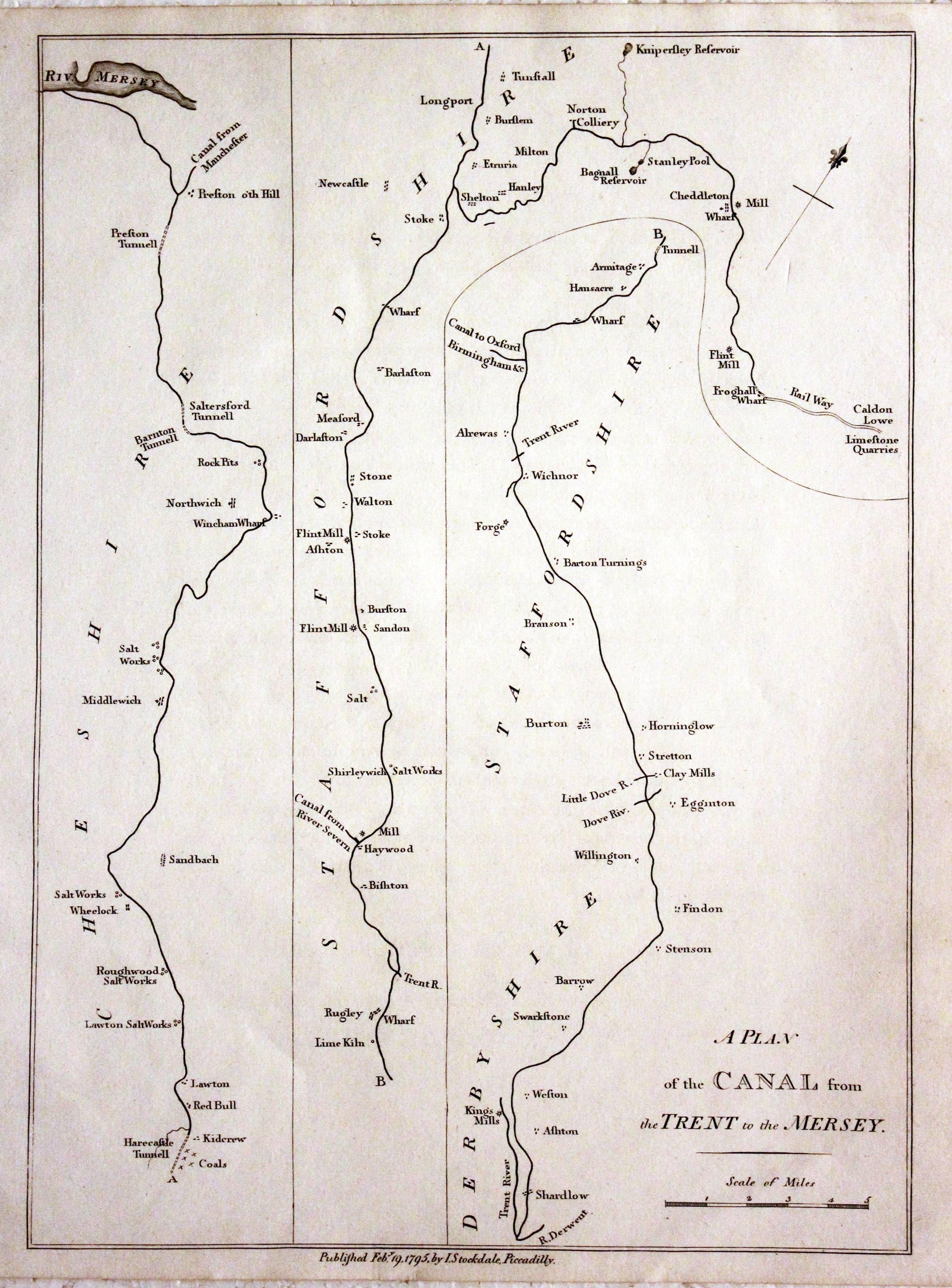
Canal from the Trent to the Mersey, John Stockdale, 1795

12289 The Canal from the Trent to the Mersey, John Stockdale, 1795. Price: 34.00
A PLAN OF THE CANAL FROM THE TRENT TO THE MERSEY
An interesting engraved uncoloured map. 7 3/4 x 11 inches. Publishers imprint beneath dated 1795. Good condition.
18th Century
-
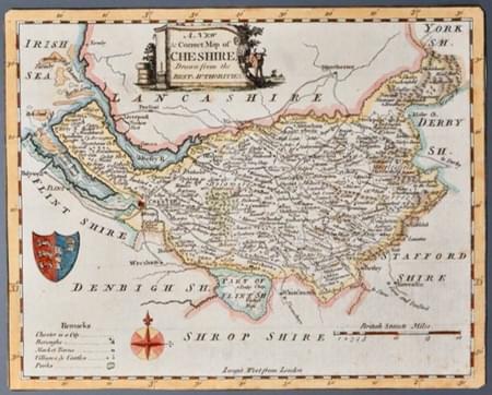
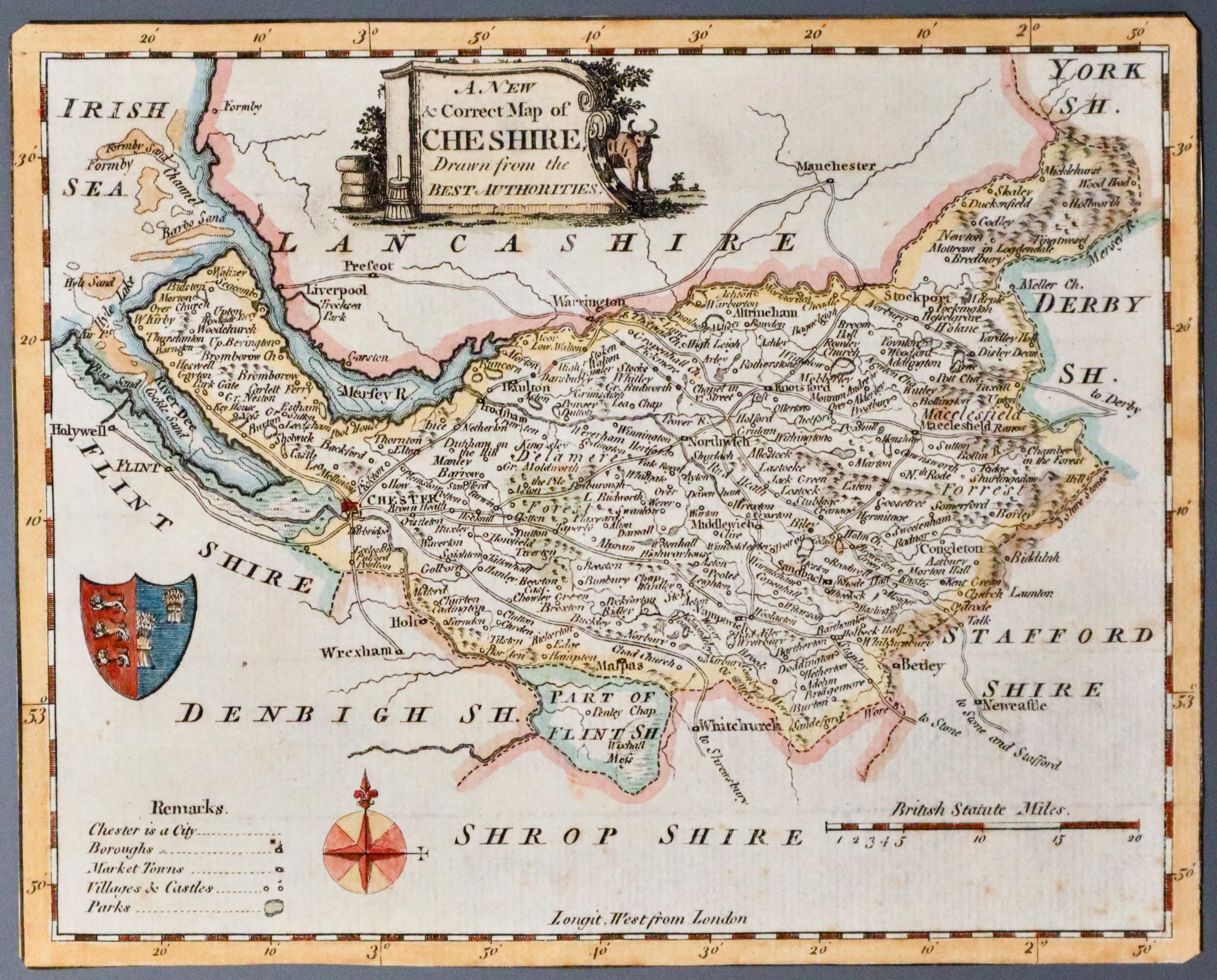
Cheshire, Thomas Walpoole 1784

21323 Cheshire, Thomas Conder, 1784. Price: 34.00
A NEW & CORRECT MAP OF CHESHIRE DRAWN FROM THE BEST AUTHORITIES
An engraved map of the county embellished with a pictorial title cartouche, Arms of Chester, Remaks, compass pointer and scale. Published by George August Walpoole and Alexander Hogg. 9 x 6 inches. Hand coloured. No blank margins. Hand coloured. For framing this map could be laid on an ivory coloured card to provide margins but make sure that your picture framer does not dry mount the maps.
From: The New British Traveller
19th Century - Decorative
-
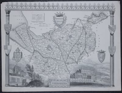
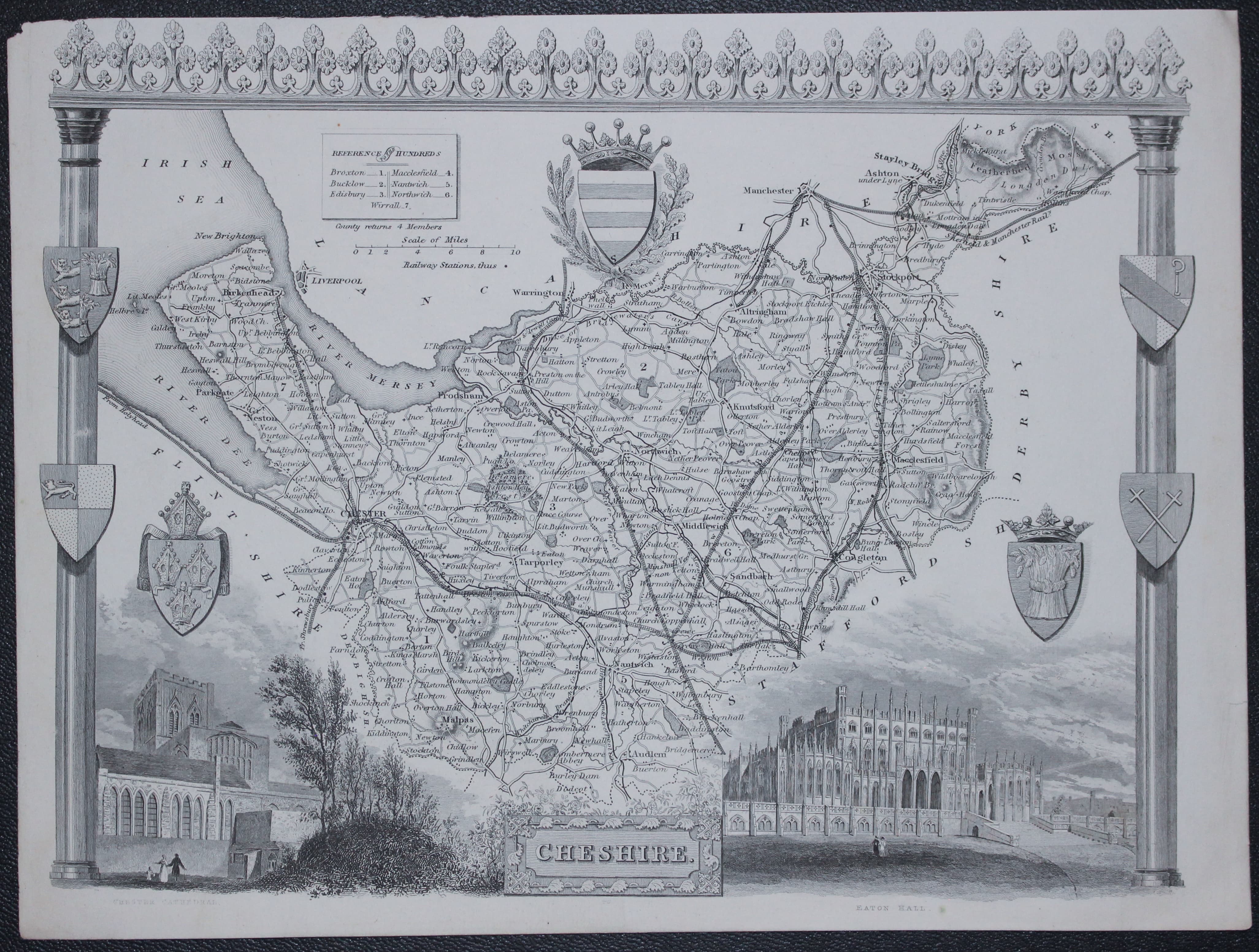
Map of Cheshire by Thomas Moule c.1850

21373 Cheshire, Thomas Moule, c.1850. Price: 48.00
CHESHIRE
A decorative Victorian map of the county within an architectural border. Embellished with vignette views of Chester Cathedral and Eaton Hall. Seven coats of arms. 10 x 7 inches, 255 x 190 mm. Uncoloured. Small single tear in the wide bottom blank margin repaired otherwise in nice clean condition with good margins.
From: Barclay's Dictionary
19th Century - Decorative
-

Map of Cheshire by Thomas Moule c.1850

20789 Cheshire, Thomas Moule, c.1850. Price: 30.00
CHESHIRE
A decorative Victorian map of the county within an architectural border. Embellished with vignette views of Chester Cathedral and Eaton Hall. Seven coats of arms. 10 x 7 inches, 255 x 190 mm. Uncoloured. Uneven top blank margin. Could be solved by putting the map into a sunk mount. Otherwise good clean condition.
From: Barclay's Dictionary
Early 19th Century
-

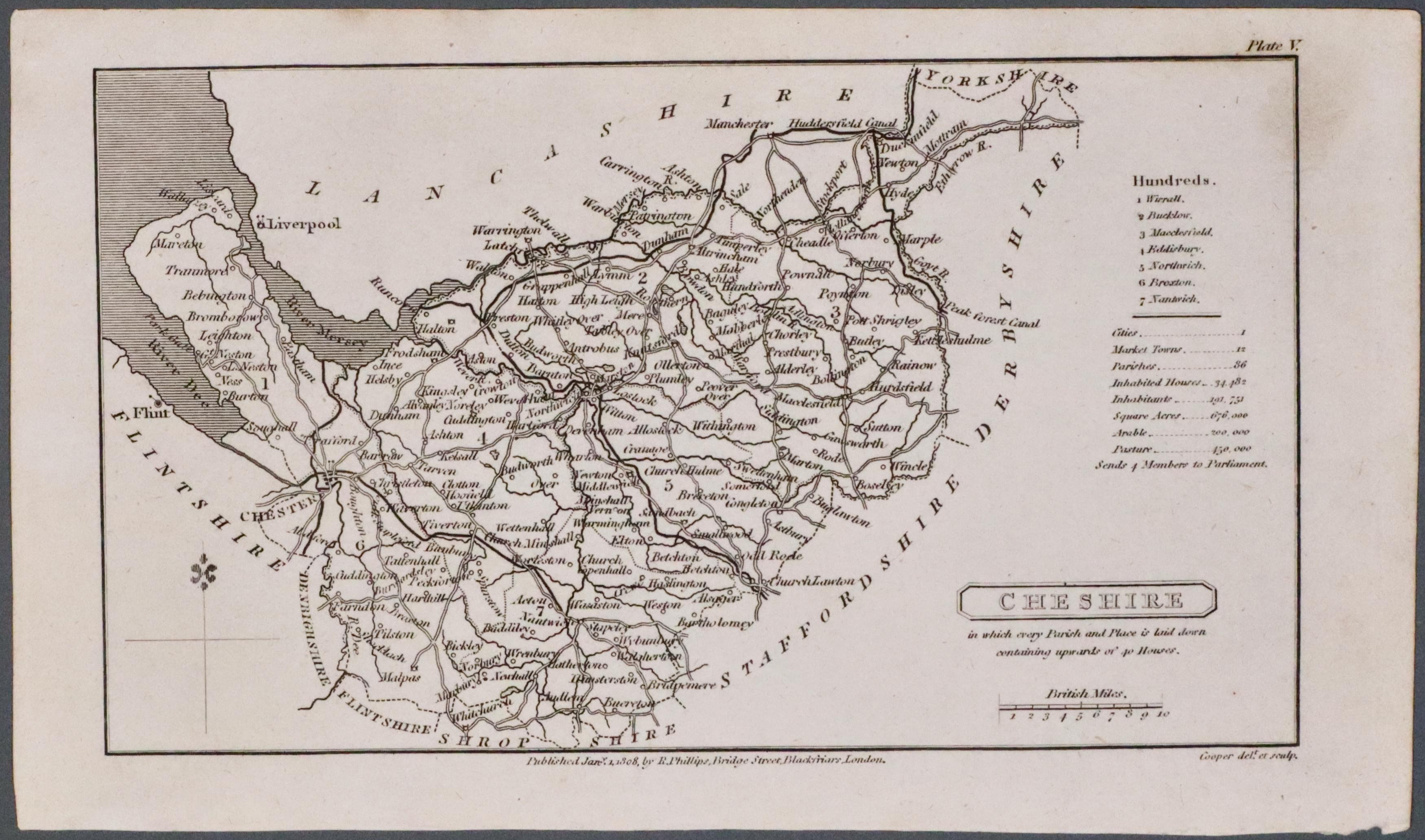
Cheshire by Benjamin Pitts Capper 1808
21973 Cheshire, Benjamin Pitts Capper, 1808. Price: 22.00
CHESHIRE
The first edition of this small engraved map of the county. Title panel. Scale. Beneath the map is the imprint of the publisher Sir Richard Phillips dated 1808. 7 x 4 inches. Uncoloured. Good condition.
From: A Topographical Dictionary of the United Kingdom
18th Century
-

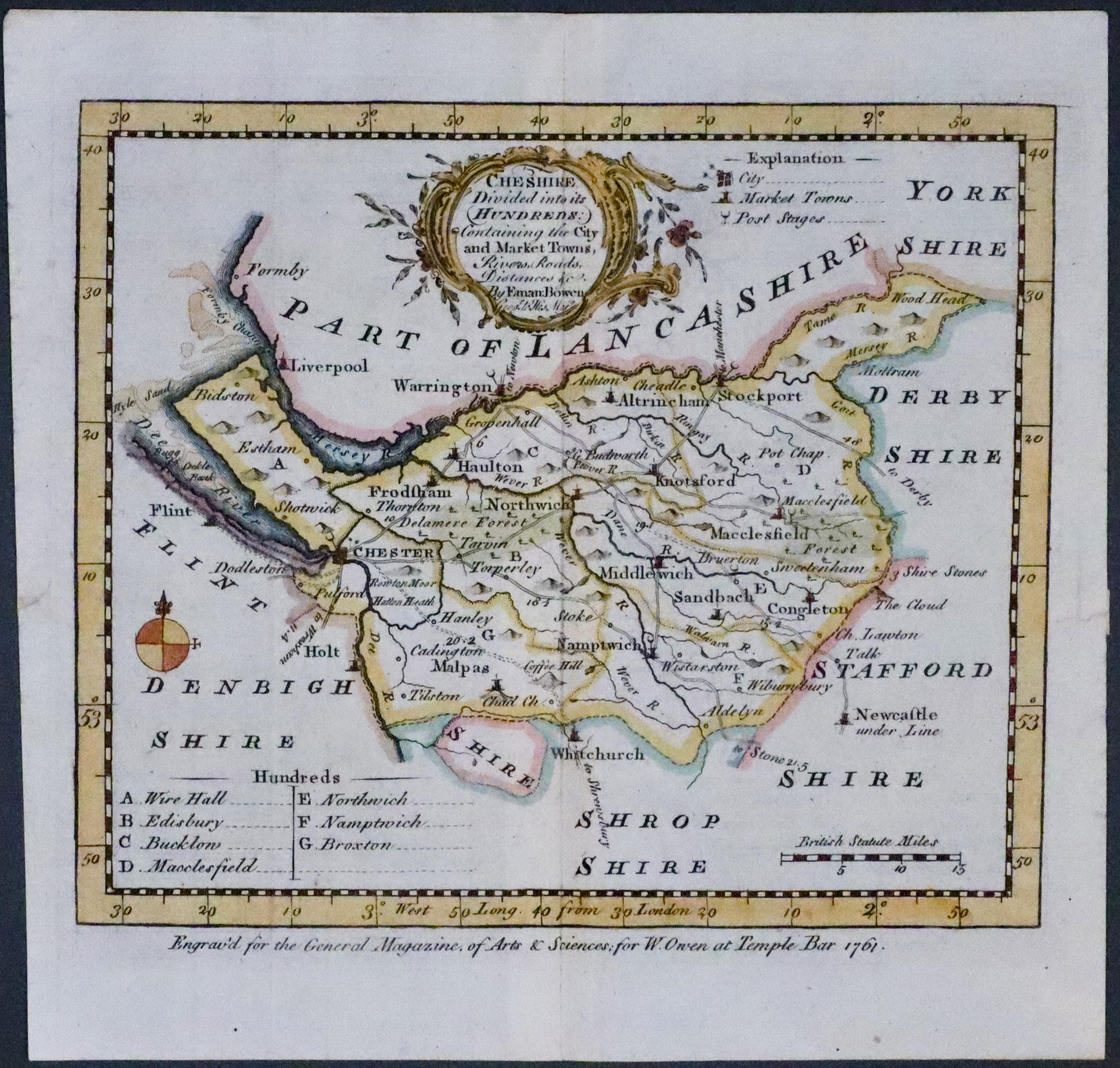
Map of Cheshire by Emanuel Bowen, 1762

23325 Cheshire, Emanuel Bowen, 1762. Price: 70.00
CHESHIRE DIVIDED INTO ITS HUNDREDS...
An engraved county map embellished with a rococo title cartouche. Explanation, list of hundreds and scale. Hand coloured. Original centre fold. Imprint beneath the map reads Engrav'd for the General Magazine of Arts and Sciences; for W. Owen at Temple Bar 1761. 7 1/2 x 6 1/2 inches. Tiny repair in the left and right hand side blank margins otherwise good clean condition.
18th Century - Early Hand Colouring
-

Central England, von Reilly 1789

24040 Central England, Franz Joseph von Reilly, 1789. Price: 68.0
Des Konigreichs ENGLAND westlicher Theil, oder Hereford Shire, Worcester Sh, Warwick Shire, Nordhampton Shire, Rutland Shire, Leicester Shire, Linkoln Shire, Notingham Shire, Derby Shire, Stafford Shire, Shrop Sh. und Sheshire Nro. 82
An engraved map of central England divided into counties. Uncoloured title cartouche. 10 3/4 x 8 inches. Early wash hand colouring. Good condition. Straight from the atlas and not sold as a single map before.
From: Schauplatz der funf Theile der Welt
19th Century - Fox Huntng
-

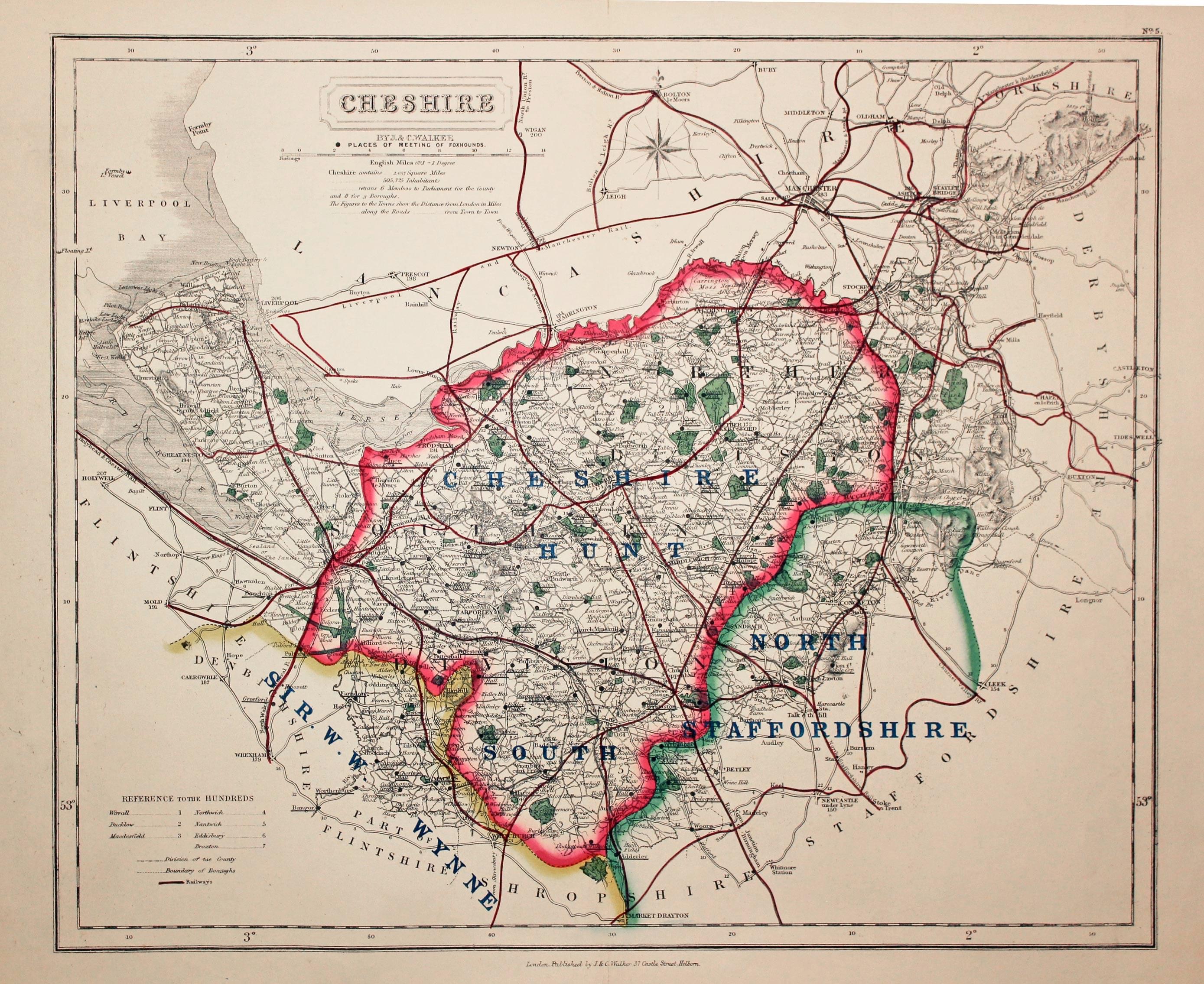
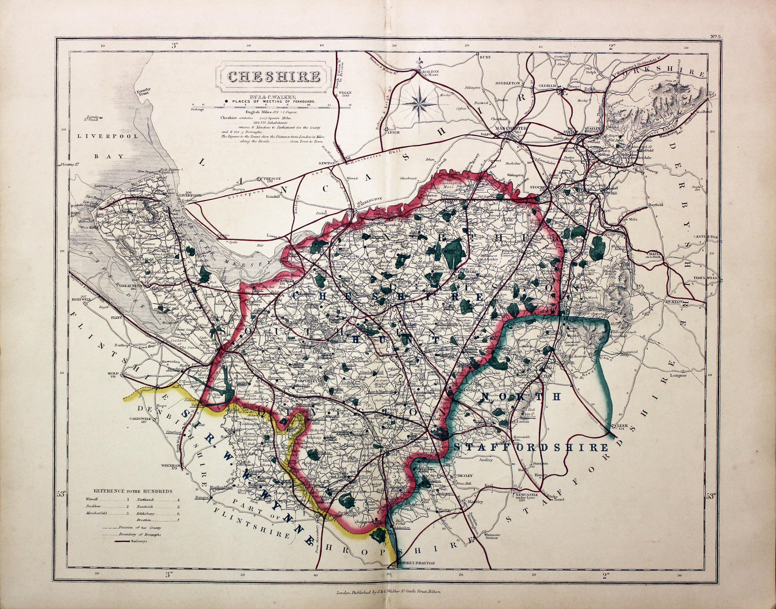
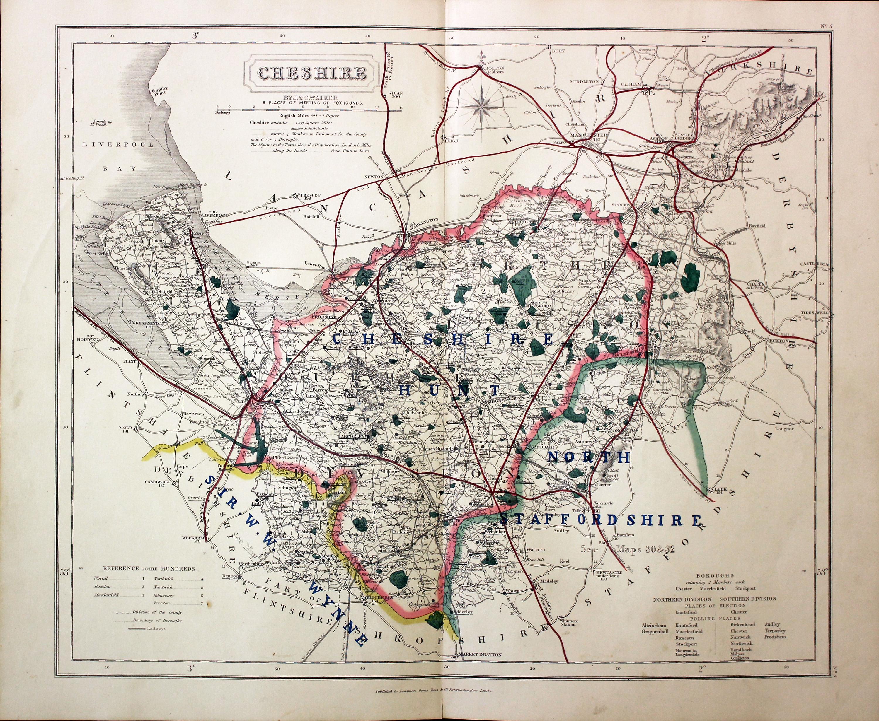
Cheshire Fox Hunting, John and Charles Walker, 1860

25555 Cheshire Fox Hunting, John and Charles Walker, 1860. Price: 76.00
CHESHIRE
A map of the county showing the Places of Meeting of Foxhounds. Title panel with the name of the publishers J. & C. Walker beneath. Scale. List of hundreds. 15 x 12 1/2 inches. Early outline hand colouring. Good condition.
From: Hobson’s Fox Hunting Atlas
Early 19th Century - Original Hand Colouring
-

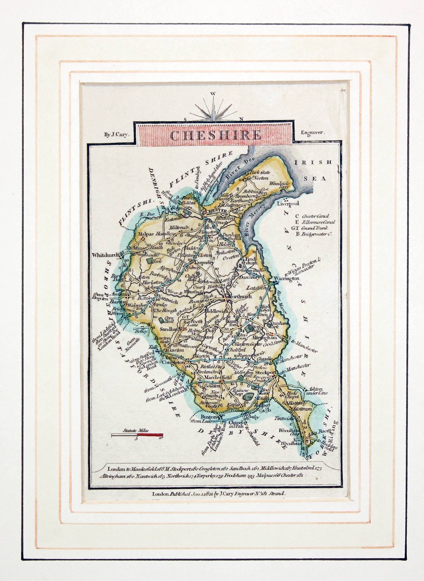
Cheshire, John Cary, 1821

29744 Cheshire, John Cary, 1821. Price: 36.00
CHESHIRE
A small engraved map of the county orientated with west at the top. 3 1/2 x 5 inches. Publisher’s imprint dated 1821. Good condition. All ready for framing In a sunk wash line mount made by the Regent Gallery in Cheltenham with their old price of 25 shillings.
From: Travellers Companion
19th Century - Early Hand Colouring
-
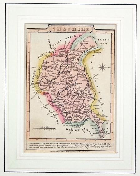
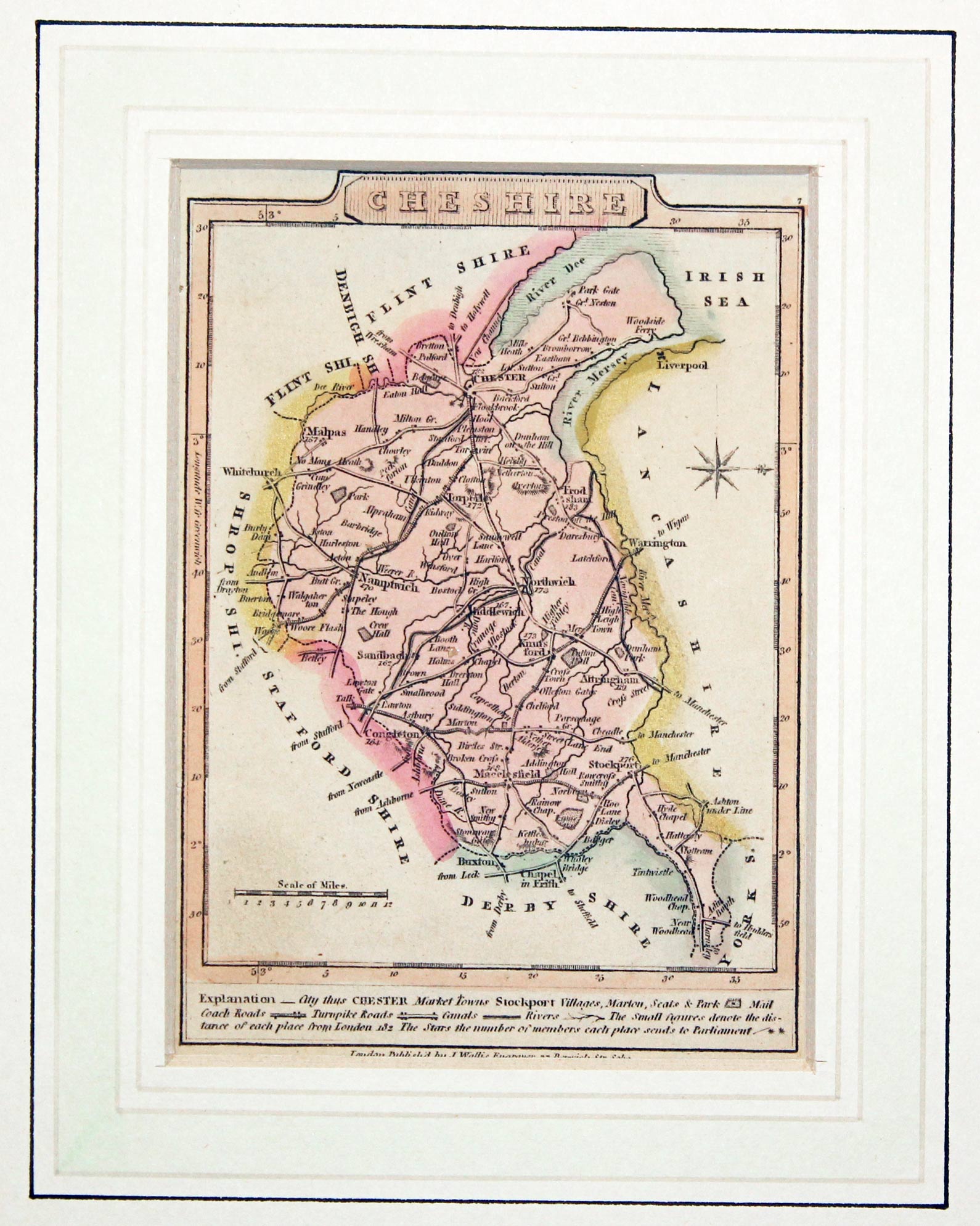
Cheshire, James Wallis, 1810

29747 Cheshire, James Wallis, 1810. Price: 26.00
CHESHIRE
A small engraved map of the county orientated with west at the top. Explanation. Publishers imprint beneath. 3 1/2 x 5 inches. Original wash hand colouring. In a sunk mount with wash line border. Good condition.
This map is in the mount supplied by the Regent Gallery In Cheltenham many years ago and bears the price of 40 shillings
19th Century - Unusual
-
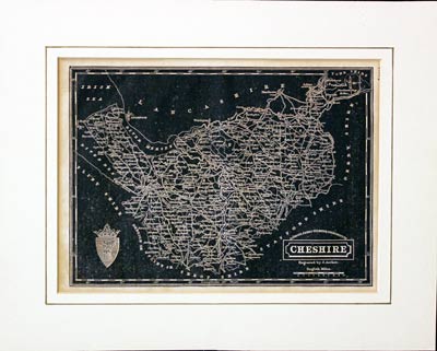
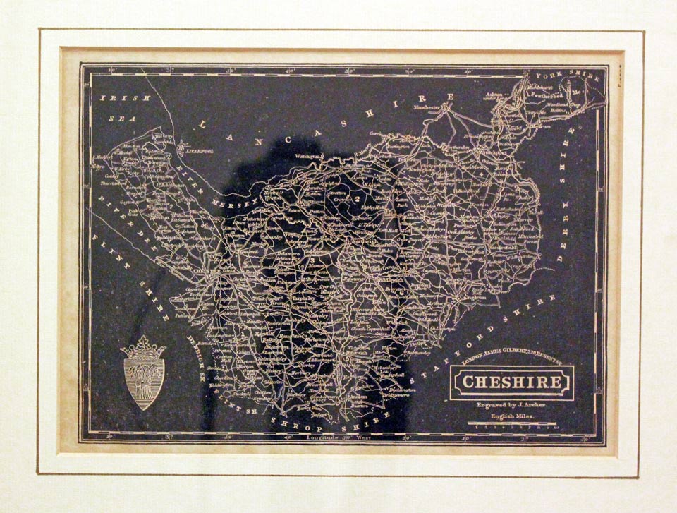
Cheshire, William Pinnock, c.1833

29791 Cheshire, William Pinnock, c.1833. Price: 45.00
CHESHIRE
Surely one of the most unusual maps of the county. Engraved on wood by Joshua Archer the map has a negative appearance. The name of the publisher James Gilbert appears above the title panel. 8 3/4 x 6 1/4 inches. Good condition. In an old ivory tint mount with single line.
From: The Guide to Knowledge
19th Century
-
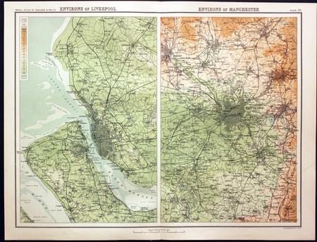
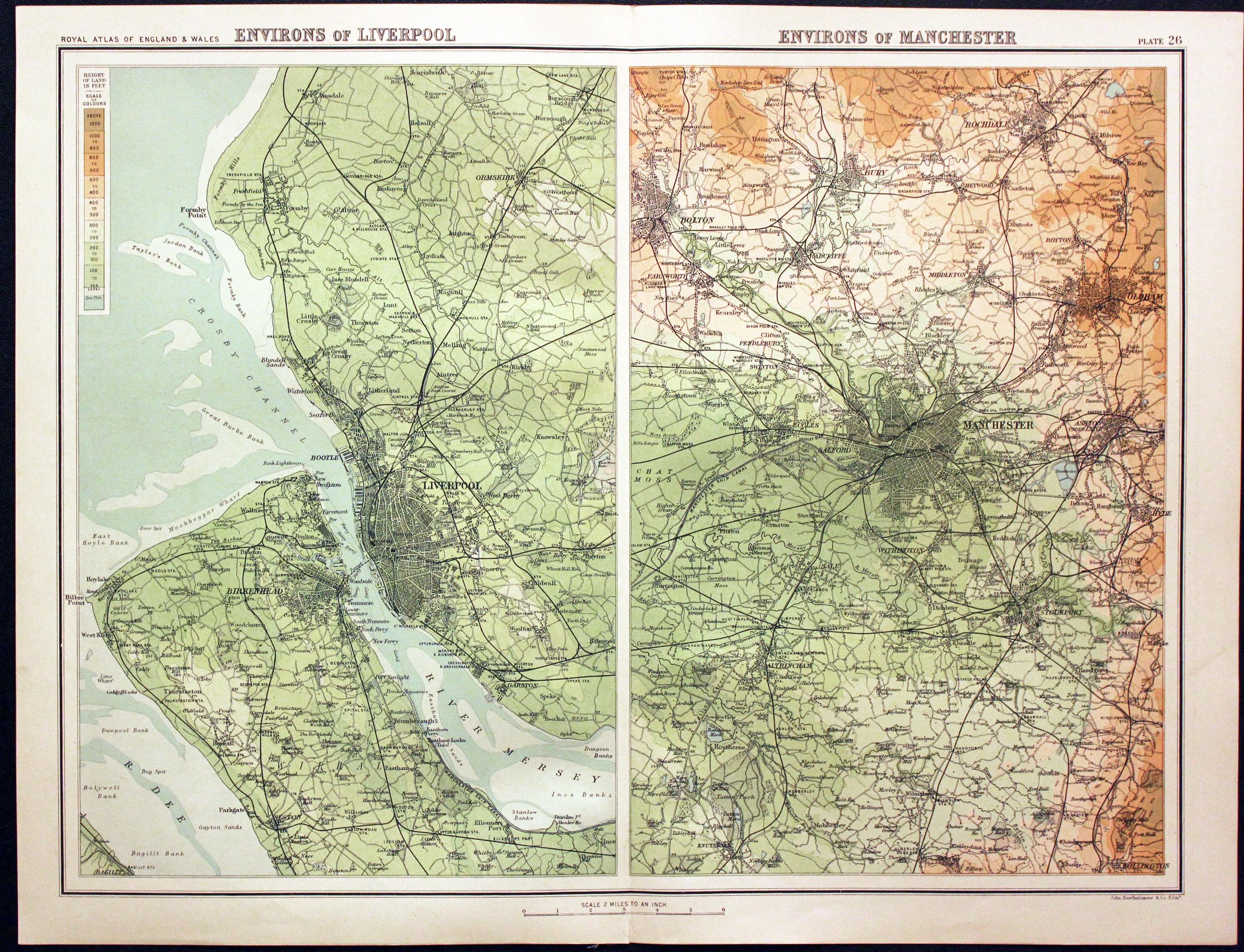
Liverpool, Wirral, Manchester, John Bartholomew, 1898

30158 Liverpool, Wirral, Manchester, John Bartholomew, 1898. Price: 13.50
ENVIRONS OF LIVERPOOL. ENVIRONS OF MANCHESTER
A colour printed map showing two panels with Liverpool, the Wirral and area around Manchester. Scale of 4 miles to the inch. Shows the railways. 16 1/2 x 12 1/2 inches. Good clean condition.
From: The Royal Atlas
Early 19th Century
-

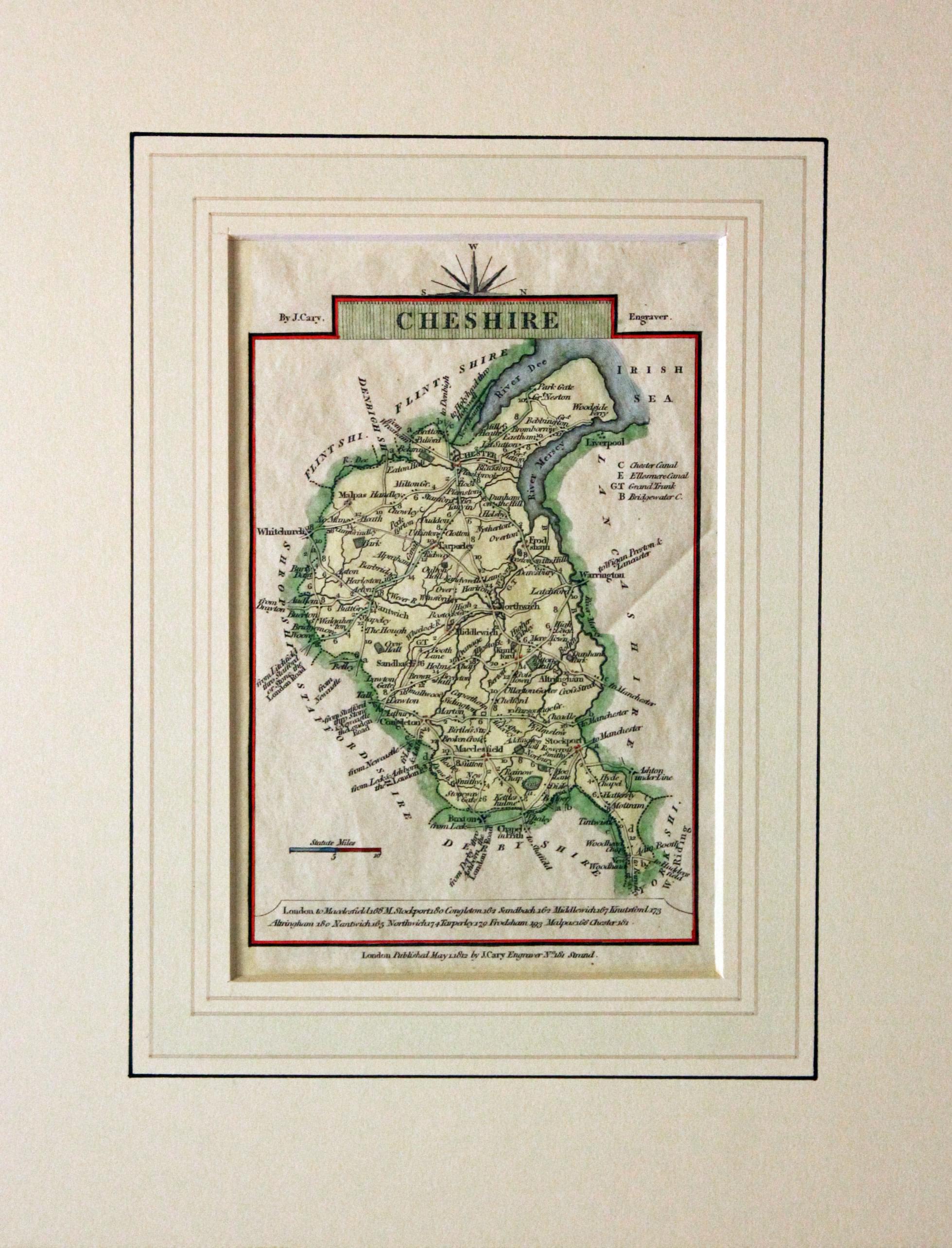
Cheshire, John Cary, 1812

30356 Cheshire, John Cary, 1812. Price: 32.00
CHESHIRE
A small engraved map of the county orientated with west at the top. 3 1/2 x 5 inches. Publisher’s imprint dated 1812. Good condition. All ready for framing In a sunk wash line mount made by the Regent Gallery in Cheltenham with their old price of 2 pounds.
From: Travellers Companion
Early 19th Century
-

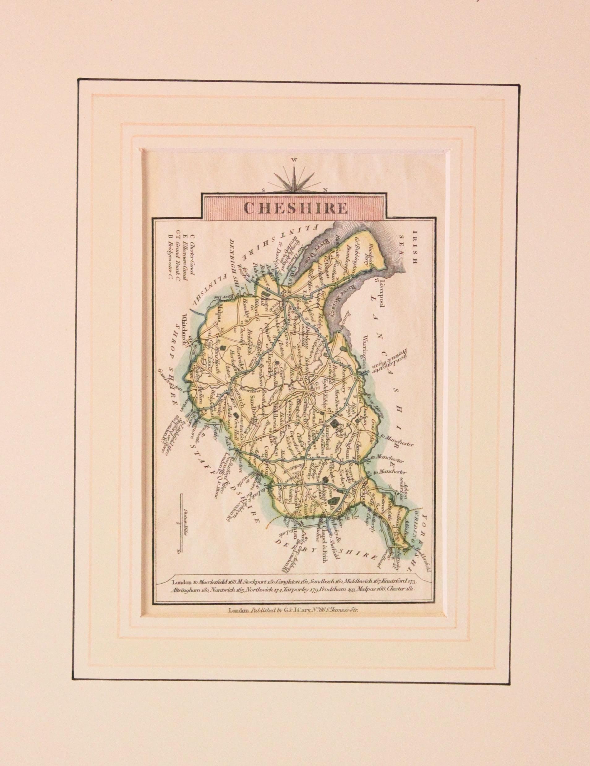
Cheshire, George and John Cary, 1824

30357 Cheshire, George and John Cary, 1824. Price: 32.00
CHESHIRE
A small engraved map of the county orientated with west at the top. 3 1/2 x 5 inches. Publisher’s imprint G. & J. Cary. Good condition. All ready for framing In a sunk wash line mount made by the Regent Gallery in Cheltenham years ago but in good condition.
From Travellers Companion
19th Century
-

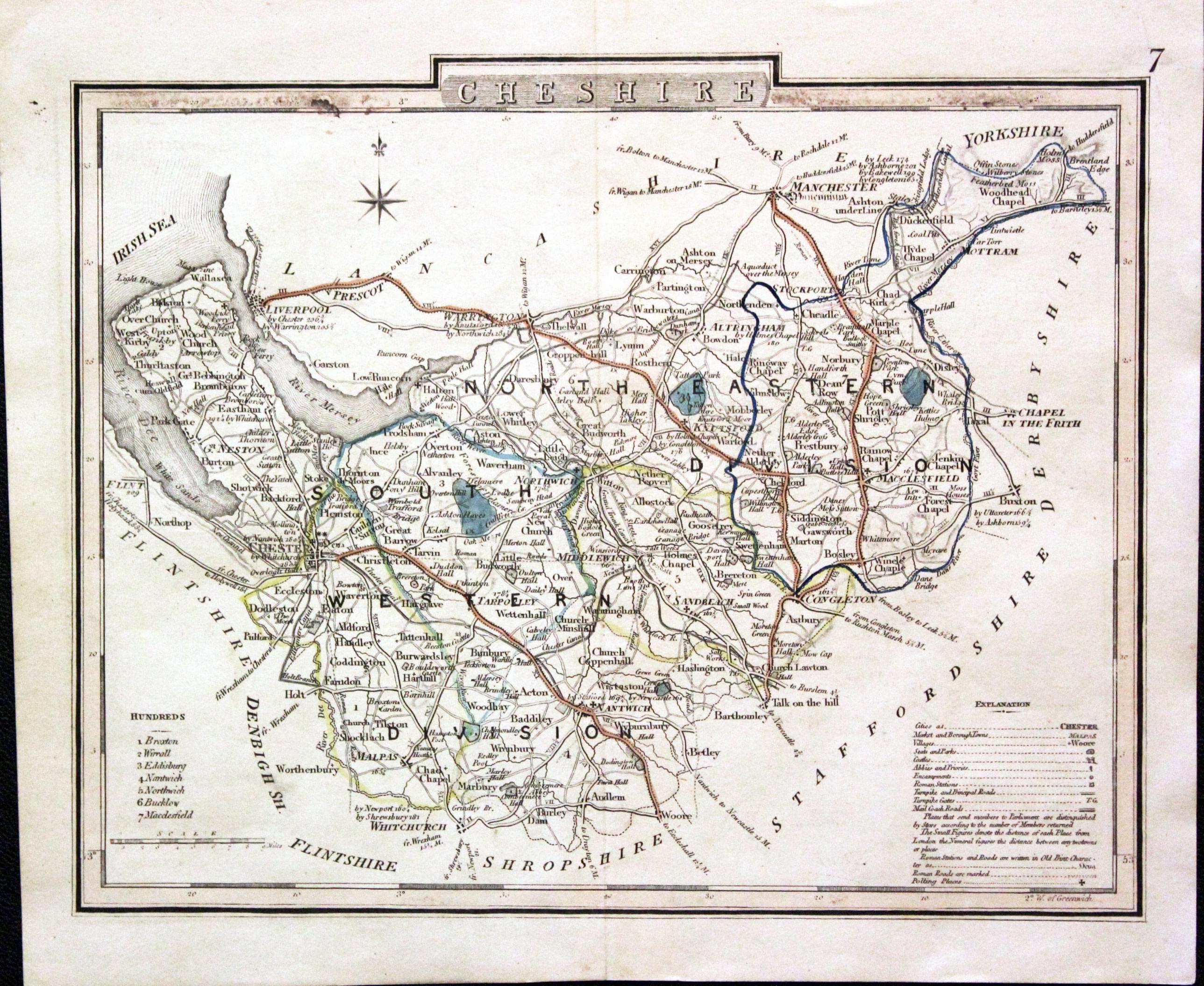
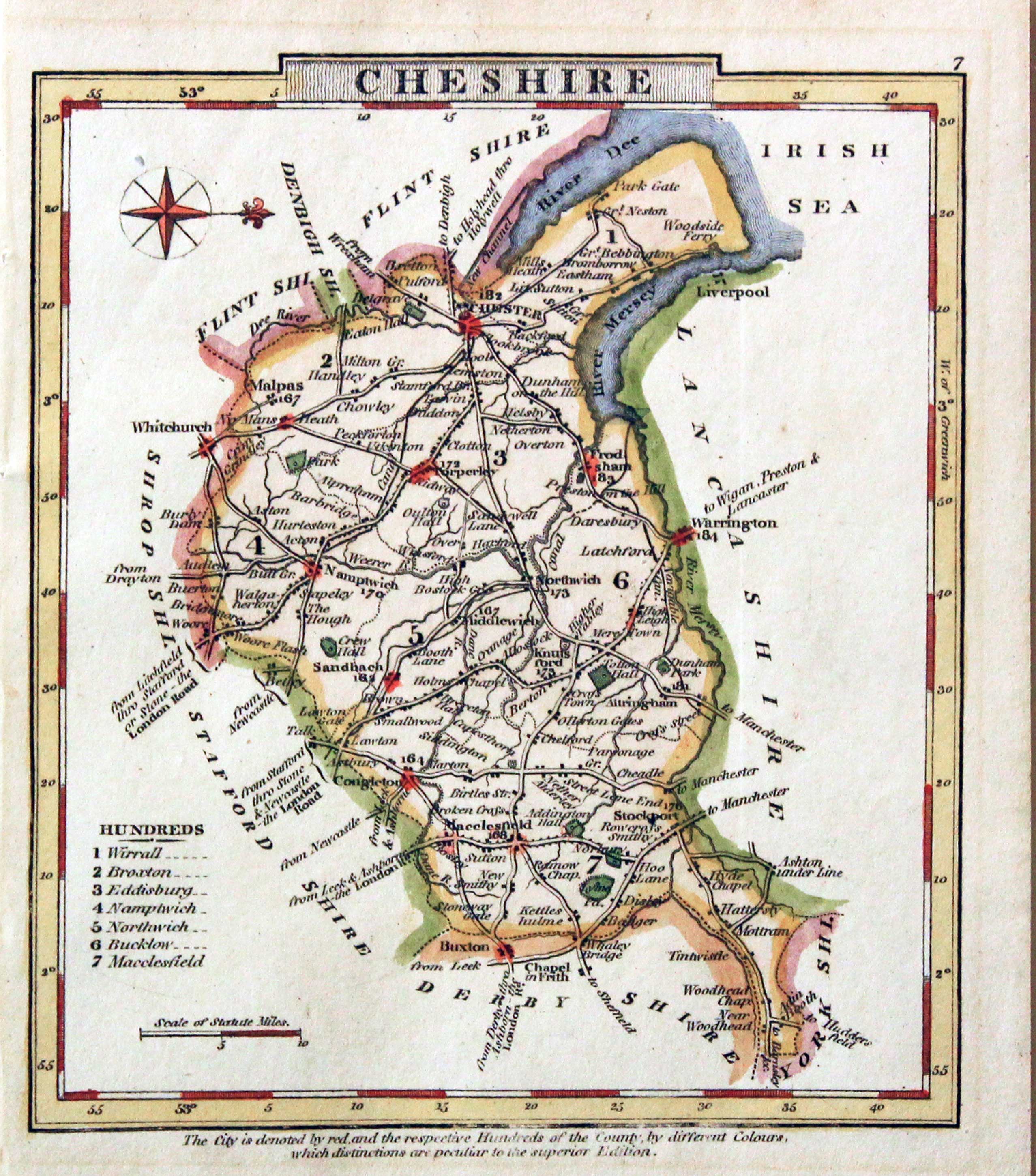
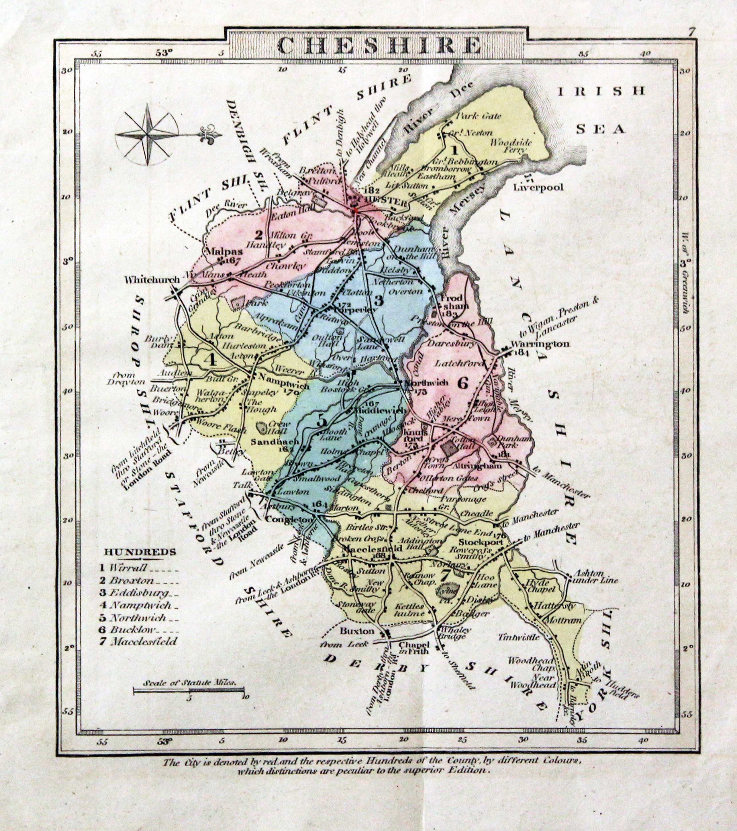
Cheshire, Joseph Nightingale, c.1835

30359 Cheshire, Joseph Nightingale, c.1835. Price: 14.50
CHESHIRE
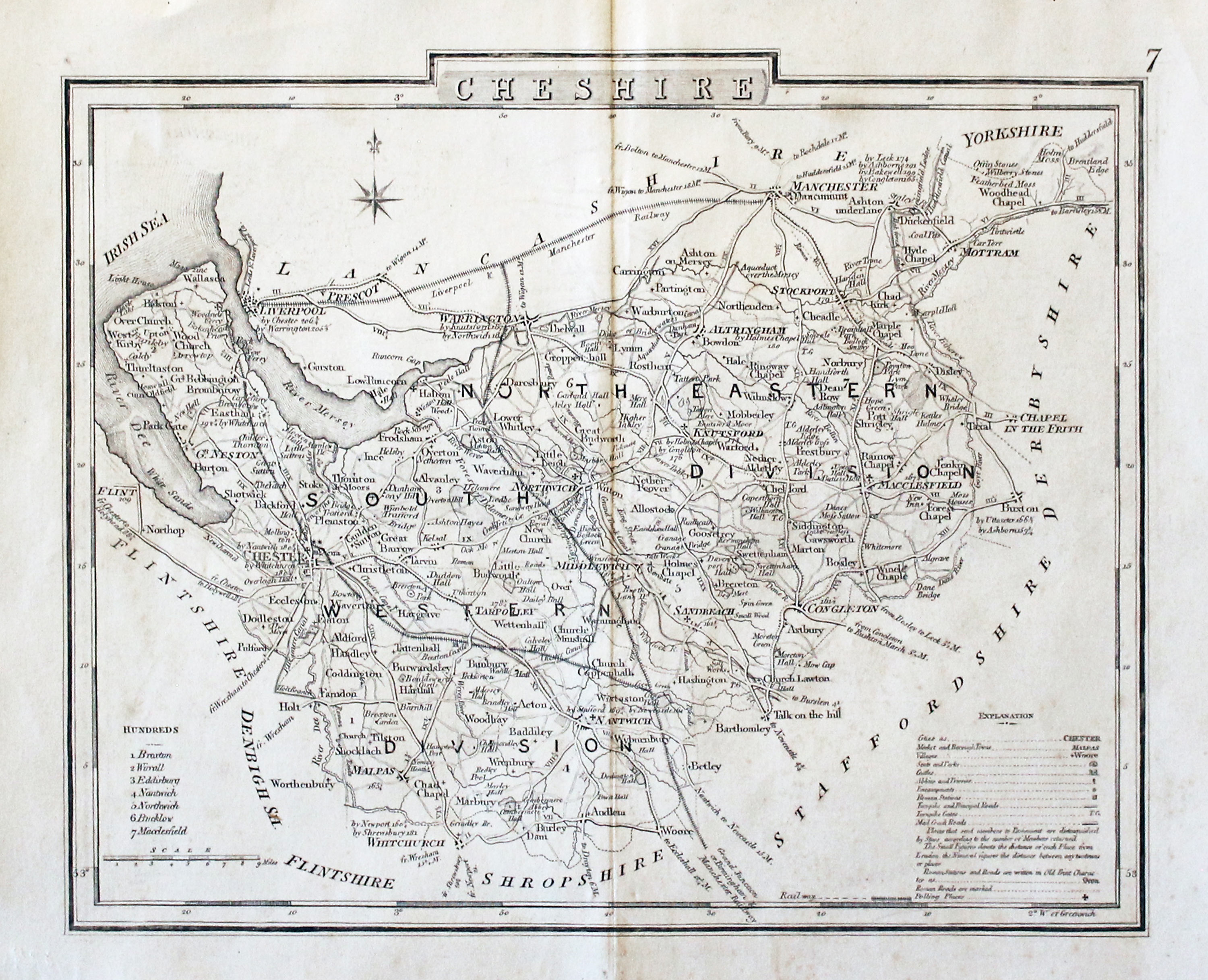
An engraved map of the county divided into hundreds. Explanation and list of hundreds. 8 3/4 x 7 inches. Numbered 7 in the top right hand corner. Original outline hand colouring. A little ink soiling in the top printed border. Very light single crease in the top right hand blank margin. Part of a date 35 on verso in biro. Otherwise good condition.
Early 19th Century - Original Hand Colouring
-

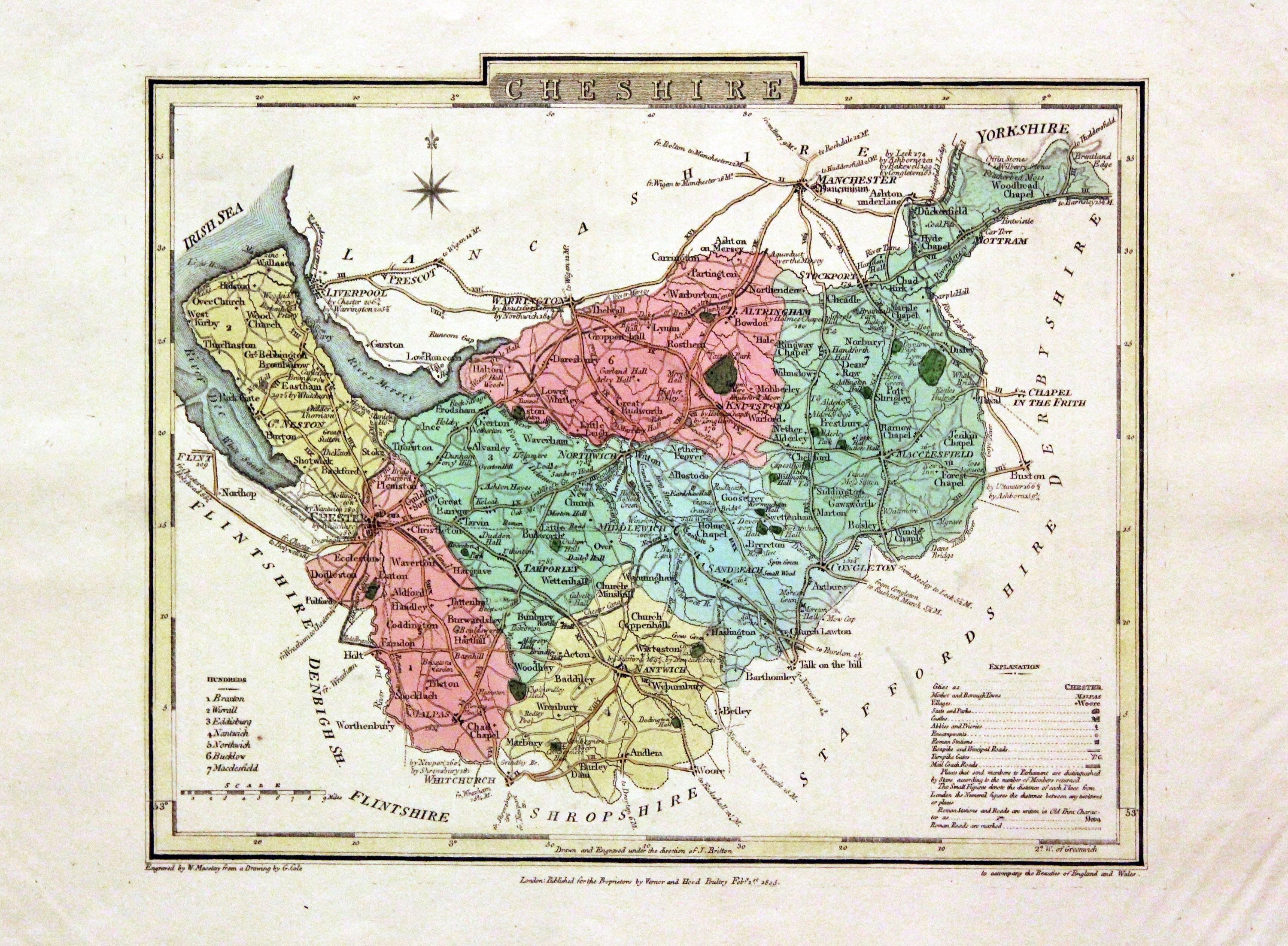
Cheshire, John Cole and John Roper, 1810

30504 Cheshire, John Cole and John Roper, 1810. Price: 50.00
CHESHIRE
A good detailed engraved map of the county divided into hundreds. Bears the publishers imprint dated of 1804. Explanation. 8 3/4 x 6 3/4 inches. Original wash and outline hand colouring. Good condition but with a little rippling in the bottom right hand blank margin corner. Straight from the atlas and not sold as a single map before. With original pages of descriptive text. The first page of text has a repair across the top right hand corner and the top left hand blank corner of the second page is missing not effecting text.
From: The British Atlas
Early 20th Century - Geological
-

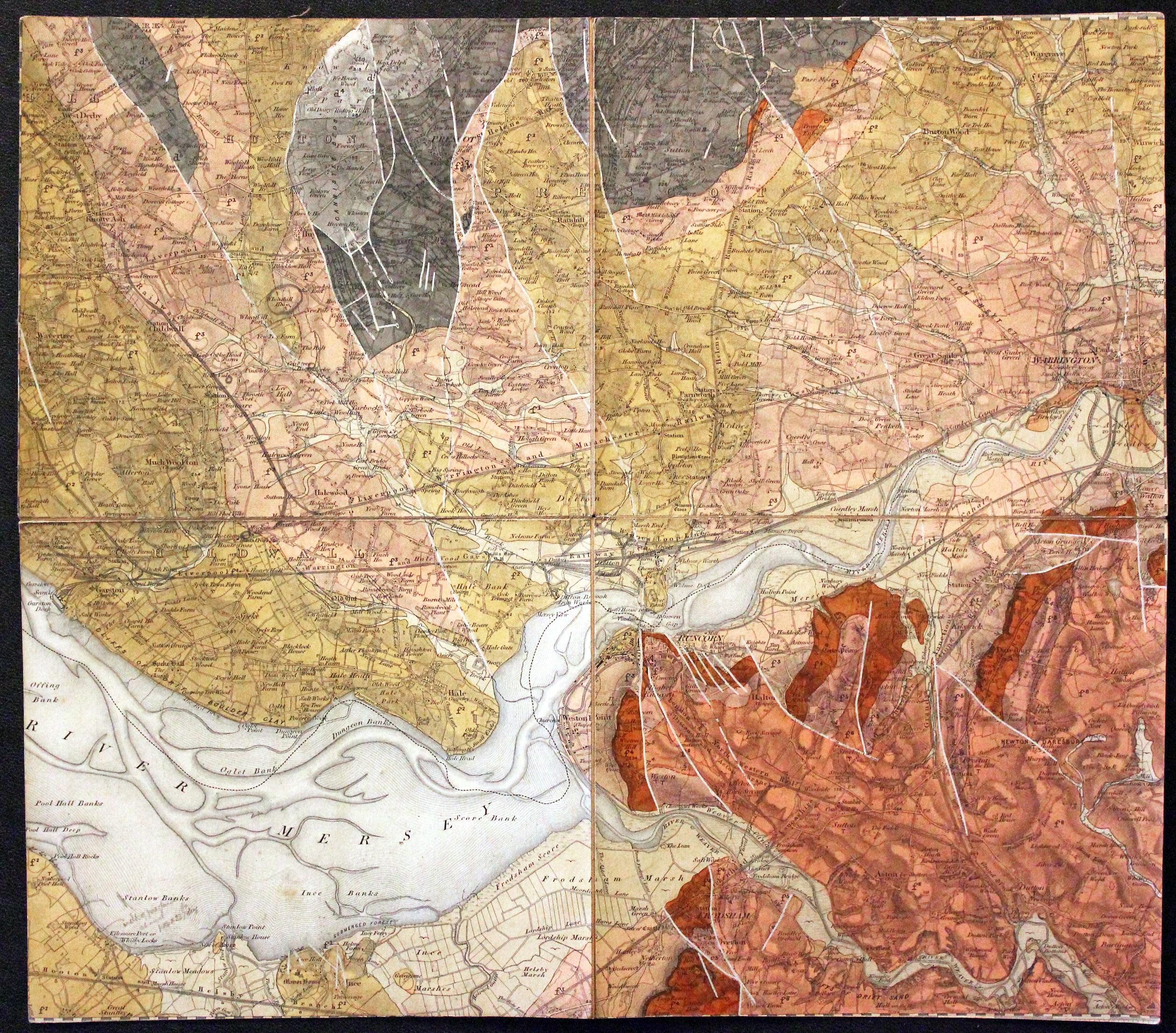
Part Lancasire and Cheshire Geological map c.1910
30618 Part of Lancashire/Cheshire - Geological, Philip Son & Nephew, c.1910. Price: 20.00
1” Solid LXXX N.W. Woolton, Gateacre, Huyton, Warrington, Runcorn Frodsham
An interesting coloured geological folding map in four sections mounted on linen. The title is hand written on a printed label showing Atlas supporting the world with the name and address of the mapmakers Philip Son & Nephew.Another label on verso shows a key to the colours of the area shown on the map.In all the mapmeasures 13 3/4 x 12 inches. Good condition. I regret I have not been able to accurately date this map and the suggestion of circa 1910 is a rough guess.
19th Century
-
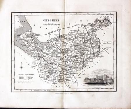
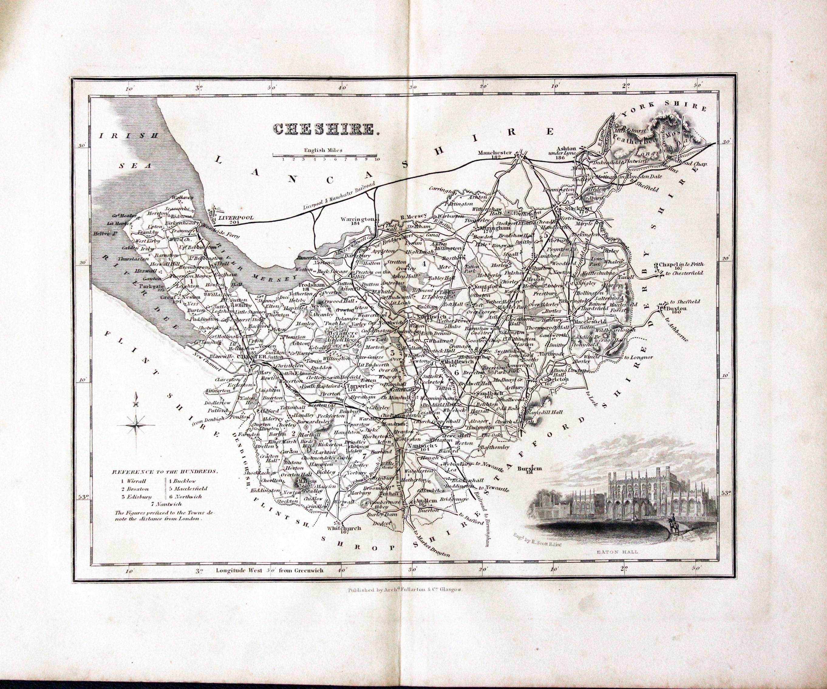
Cheshire, Archibald Fullarton, c.1843

30747 Cheshire, Archibald Fullarton, c.1843. Price: 29.00
CHESHIRE
A detailed engraved map of the county divided into hundreds. Embellished with a vignette view of Eaton Hall. 9 1/2 x 7 1/4 inches. Uncoloured. Good wide margins. Good condition
19th Century - Early Hand Colouring
-
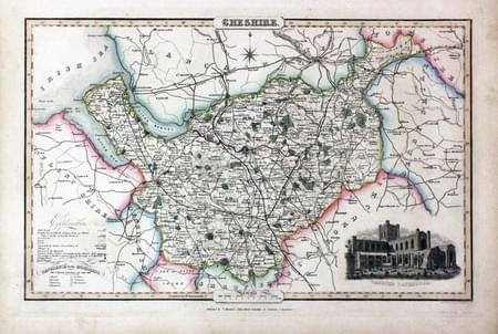
Cheshire, James Pigot / Isaac Slater, c.1857

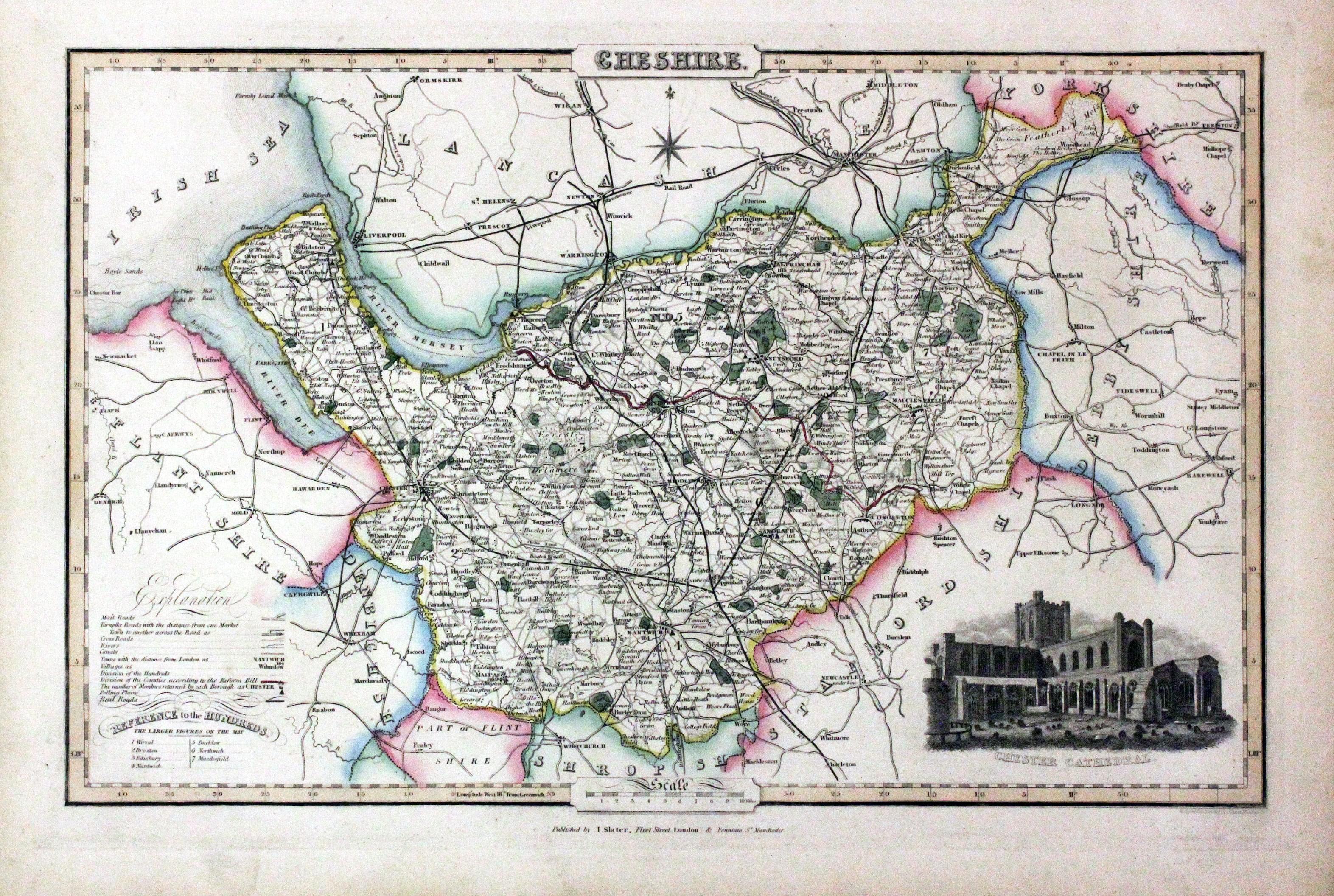
30770 Cheshire, James Pigot / Isaac Slater, c.1857. Price: 82.00
CHESHIRE
An engraved map of the county with title, scale, explanation and list of hundreds. Embellished with an uncoloured view of Chester Cathedral. 14 x 8 3/4 inches. Original outline hand colouring. On stout paper. Good undamaged condition.
From: Isaac Slater’s New British Atlas
For the Collector
-
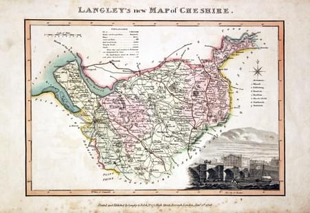
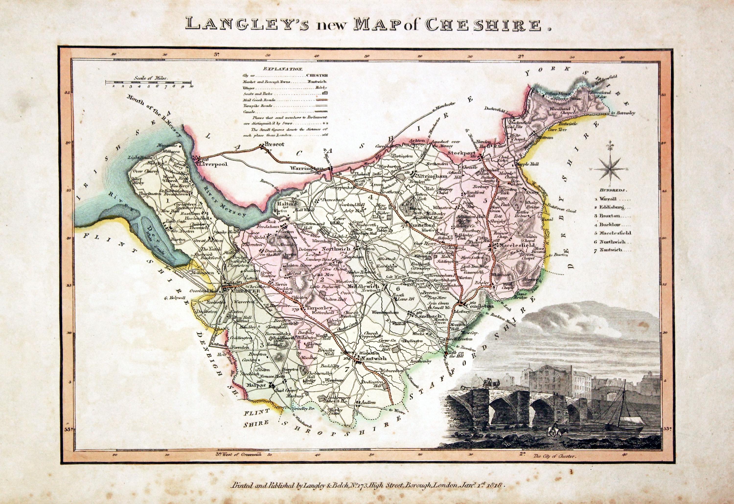
Cheshire, Edward Langley and William Belch, 1820

30914 Cheshire, Edward Langley and William Belch, 1820. Price: 86.00
LANGLEY’S NEW MAP OF CHESHIRE
An engraved map of the county. In the bottom right hand corner is a vignette view of The City of Chester. The title appears above the map. Beneath the map is the publishers imprint Printed and Published by Langley & Belch, No. 173 High Street, Borough, London, Jan. 1st, 1818. 10 x 6 3/4 inches. Manuscript number 5 in the top right hand corner. Original outline and wash hand colouring. Very lightly toned with some speckled foxing mainly in the bottom blank margin. No tears or repairs.
From Langley’s New County Atlas of England and Wales
19th Century - Fox Hunting
-
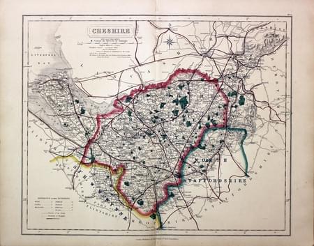
Cheshire, John and Charles Walker, c.1845

31022 Cheshire, John and Charles Walker, c.1845. Price: 60.00
CHESHIRE
A map of the county showing the Places of Meeting of Foxhounds. Title panel with the name of the publishers J. & C. Walker beneath. Scale. List of hundreds. 15 x 12 1/2 inches. Early outline hand colouring. Good condition.
From: Hobson’s Fox Hunting Atlas
19th Century - Early Hand Colouring
-

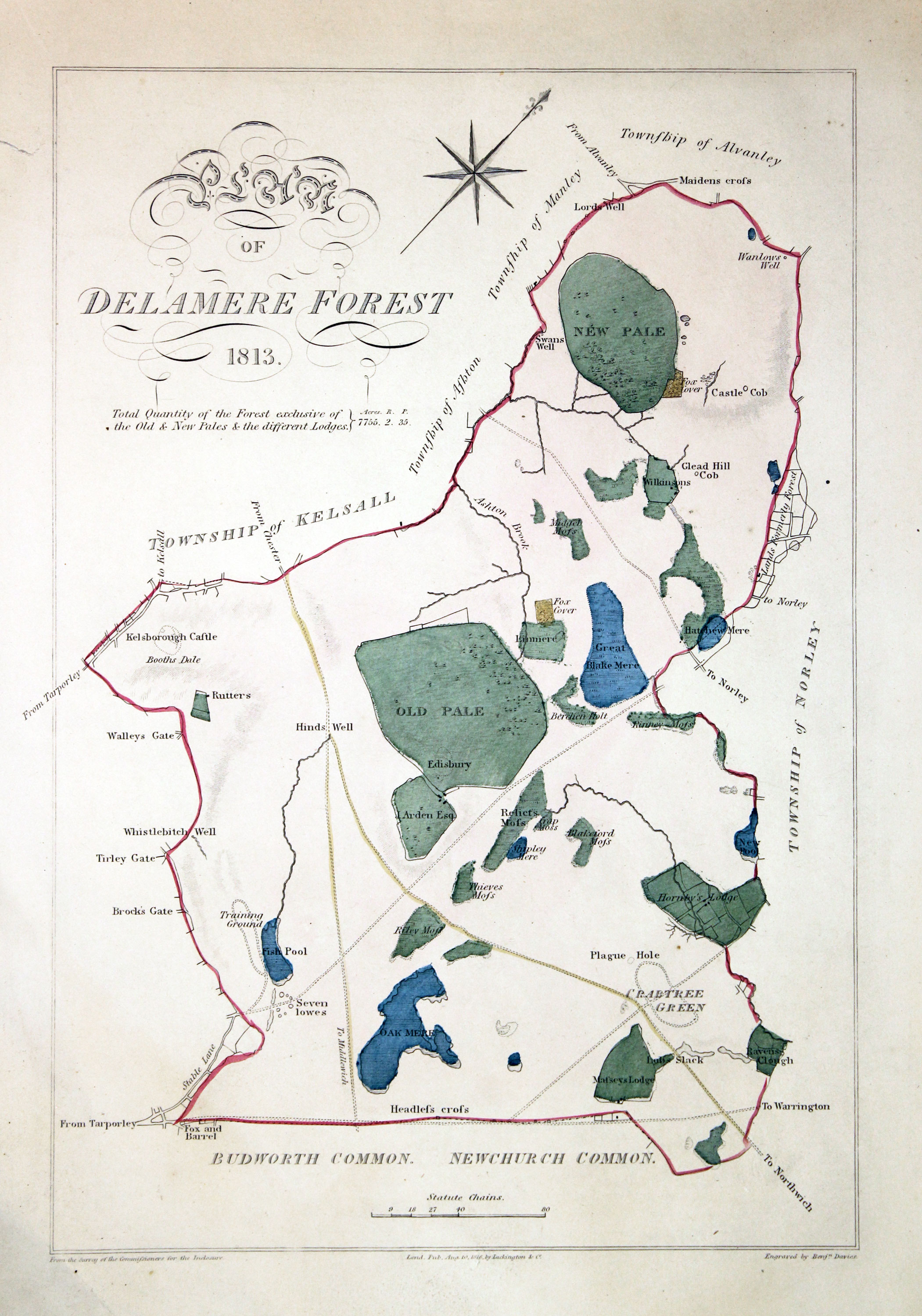
Delamere Forest, Benjamin Davies, 1819

30961 Delamere Forest, Benjamin Davies, 1882. Price: 30.00
PLAN OF DELAMERE FOREST 1813
An interesting map engraved by Benjamin Davies. Imprint dated 1816. 7 x 11 inches. Original hand colouring. Very small marginal repair in the left hand blank margin otherwise good condition.
From Ormerod's History of Cheshire
19th Century - Fox Hunting
-

Cheshire - Fox Hunting, John and Charles Walker, 1851


31034 Cheshire - Fox Hunting, John and Charles Walker, 1851. Price: 60.00
CHESHIRE
A good detailed lithograph map of the county from Hobson's Fox Hunting Atlas showing the places of the Meeting of the Hounds. 15 1/2 x 12 1/2 inches. Original outline hand colouring. Fine condition. Straight from the atlas so has not been sold as a single map before.
Shows the Cheshire Hunt and part of Sir W. W. Wynne and North Staffordshire Hunts
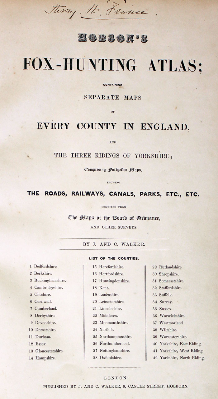
Provenance: George Hayhurst - Royal Fusiliers and Henry H. France
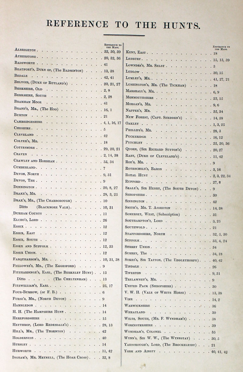
TITLE PAGE AND LIST OF HUNTS
-
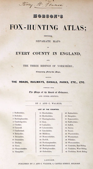
Hobson Fox Hunting Atlas Titlepage
-
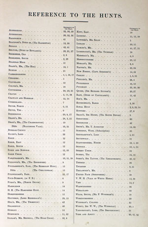
Hobsons Fox Hunting Atlas List of Hunts
For the Collector
-

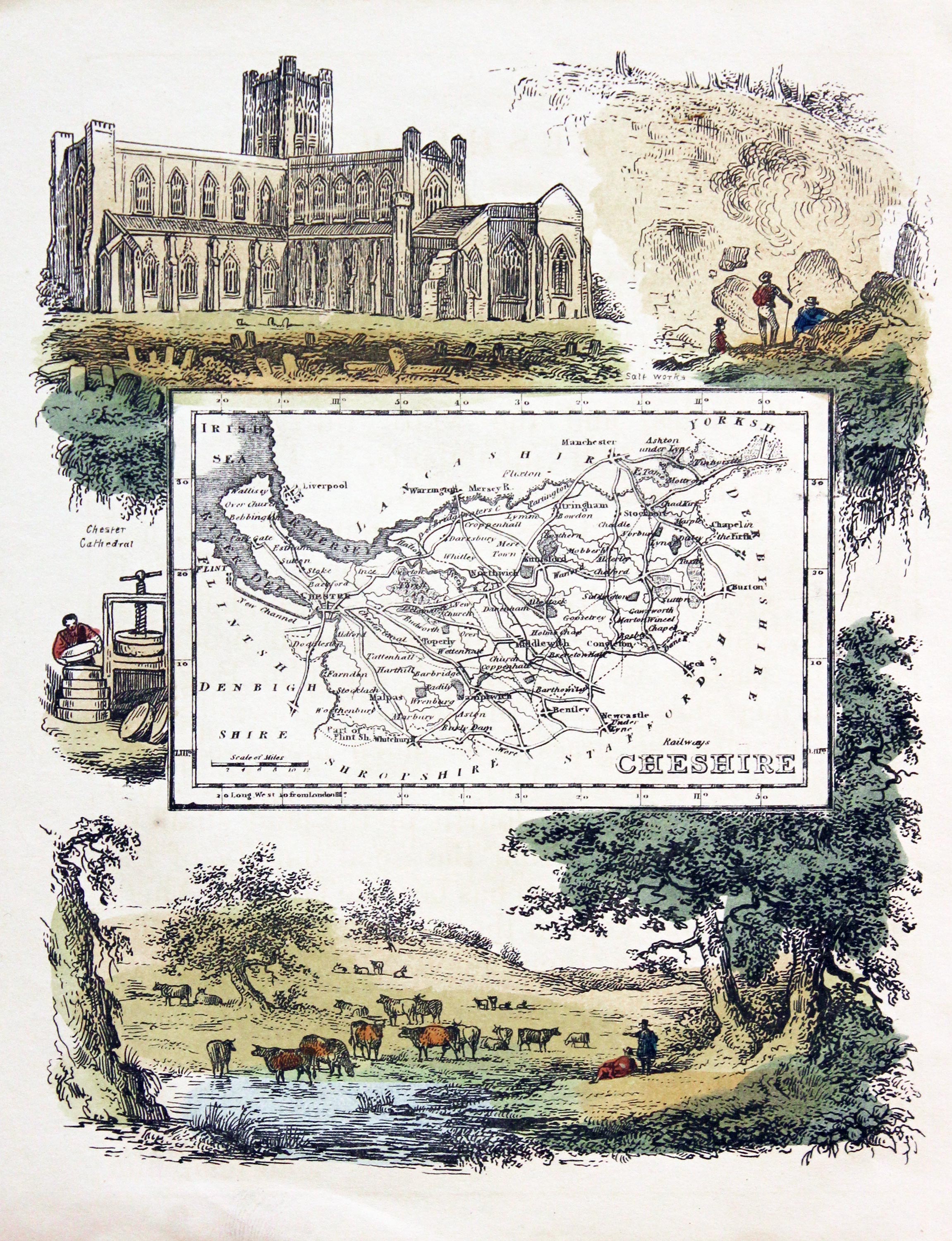
Cheshire, Reuben Ramble 1844
-

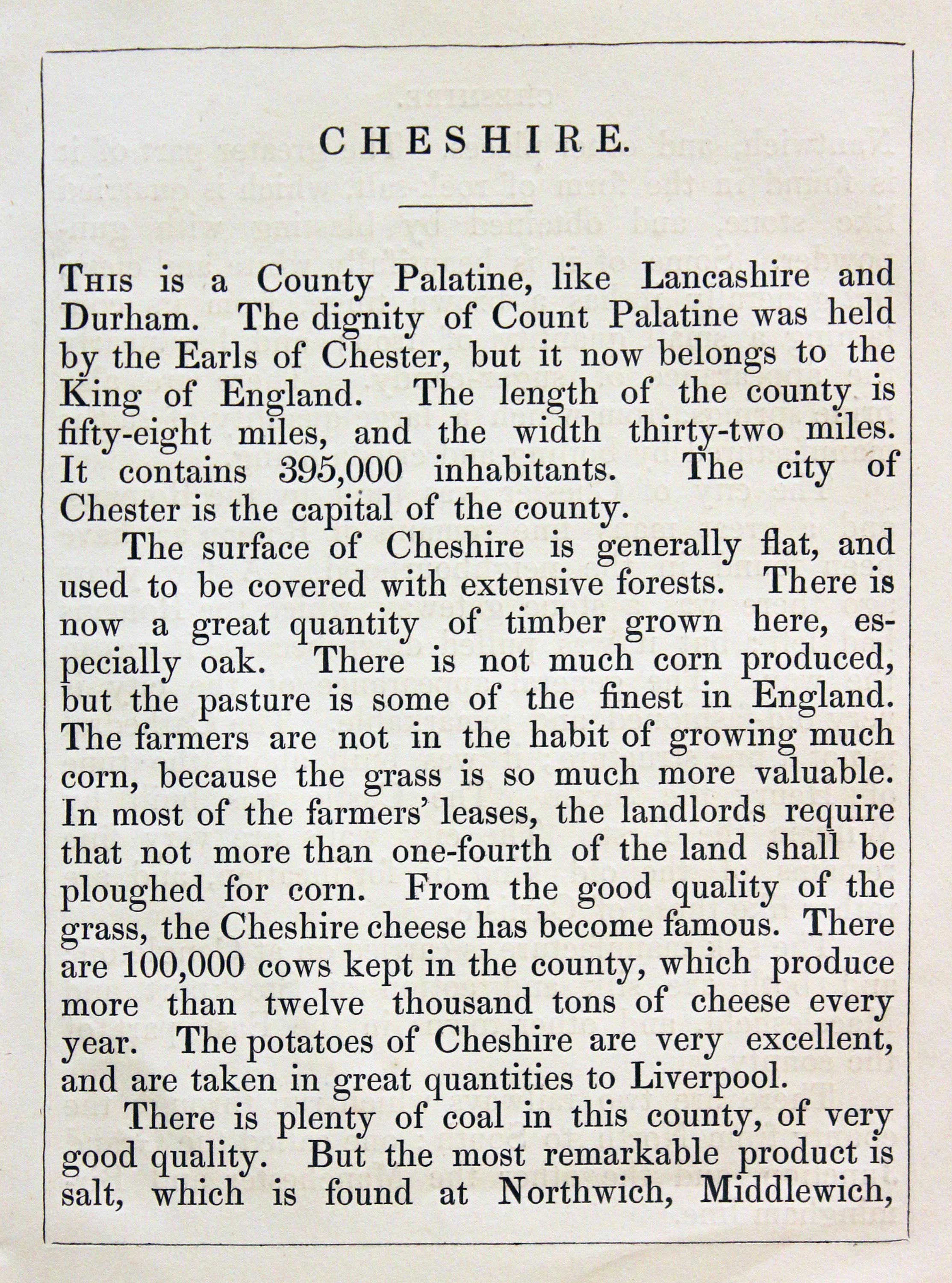
Cheshire Text, Reuben Ramble 1844

31358 Cheshire, Reuben Ramble, c1845. Price: 89.00
CHESHIRE
An uncommon lithograph miniature map of the county surrounded by a wide border of vignette views of local scenes including Chester Cathedral, Salt Works, Cheese making and pasture. The maps first appeared in Miller’s New Miniature Atlas published in 1810. The decorative views were added and the maps republished by Darton & Clark in “Reuben Ramble’s Travels Through the Counties of England” in 1844. 5 3/4 x 7 1/4 inches. This is the size of overall area and not the contained map. Original hand colouring. With this map is the original double sided page of text describing the county.
19th Century - Town Plan
-
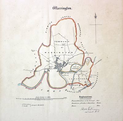
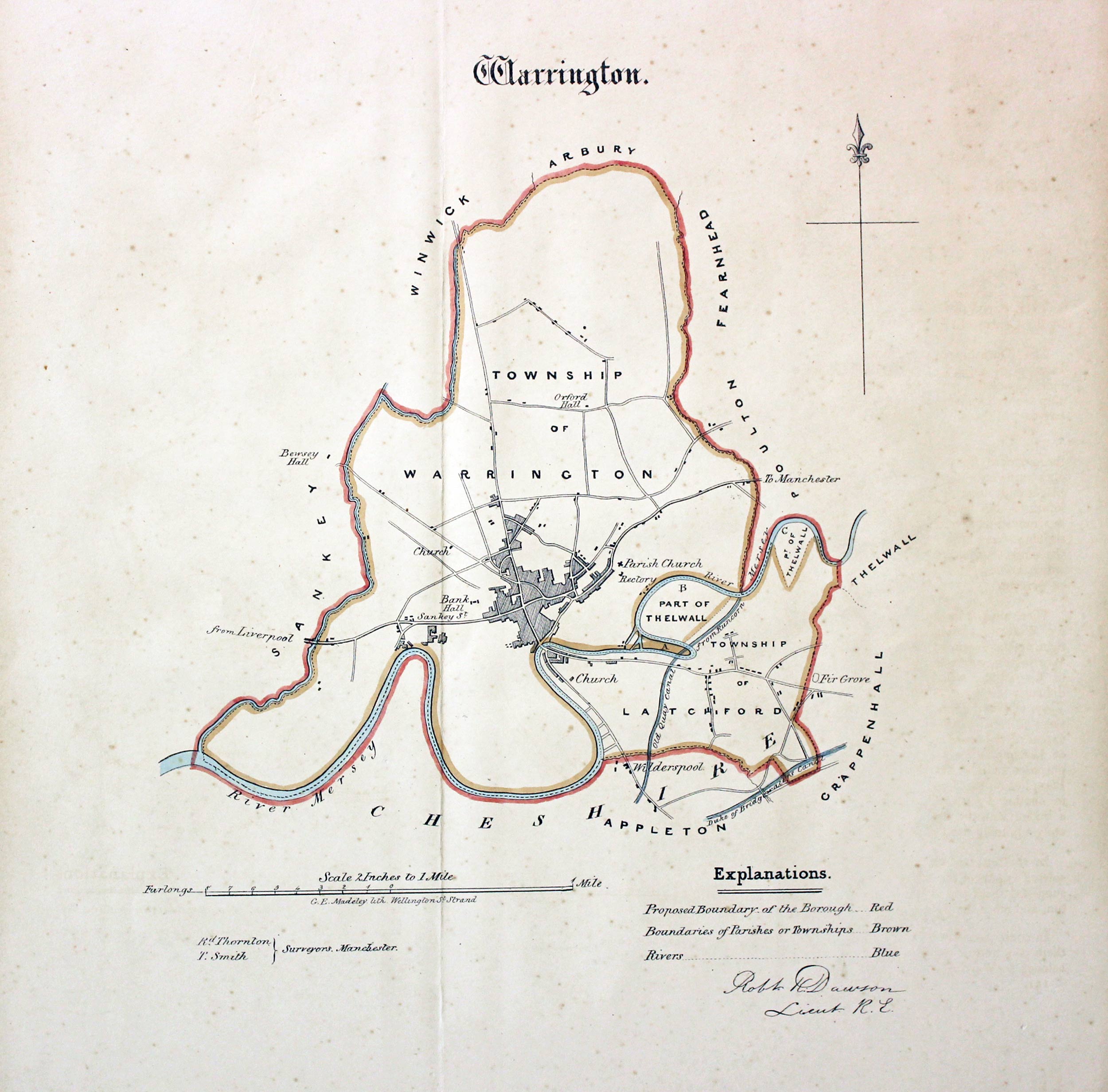
Warrington, Lt. Robert Kearsley Dawson, 1832

31485 Warrington, Lt. Robert Kearsley Dawson, 1832. Price: 32.00
WARRINGTON
An engraved map of the Township of Warrington on a scale of 2 inches to the mile. Compass pointer and explanation. About 9 x 10 inches. Original hand colouring. Good condition. Browned on verso.
Early 19th Century
-
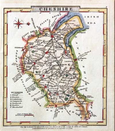
Cheshire, G.A. Cooke 1824

31738 Cheshire, George Alexander Cooke, 1824. Price: 32.00
CHESHIRE
A small engraved map of the county orientated with west at the top. Title panel, list of hundreds and scale of 3/4 inch = 10 miles. Map numbered 7 in top right hand corner. 4 1/4 x 4 3/4 inches. Hand coloured. Good condition. In an ivory tint sunk mount.
From: Gray’s New Book of Roads
19th Century
-

Cheshire, G.A. Cooke 1824

31739 Cheshire, George Alexander Cooke, 1824. Price: 32.00
CHESHIRE
A small engraved map of the county orientated with west at the top. Title panel, list of hundreds and scale of 3/4 inch = 10 miles. Map numbered 7 in top right hand corner. 4 1/4 x 4 3/4 inches. Early wash hand colouring. Good condition. In an ivory tint sunk mount with old guaranteed label on back.
From: Gray’s New Book of Roads
Early 19th Century - Miniature
-

Cheshire, Robert Miller c.1820

31740 Cheshire, Robert Miller, c.1820. Price: 34.00
CHESHIRE
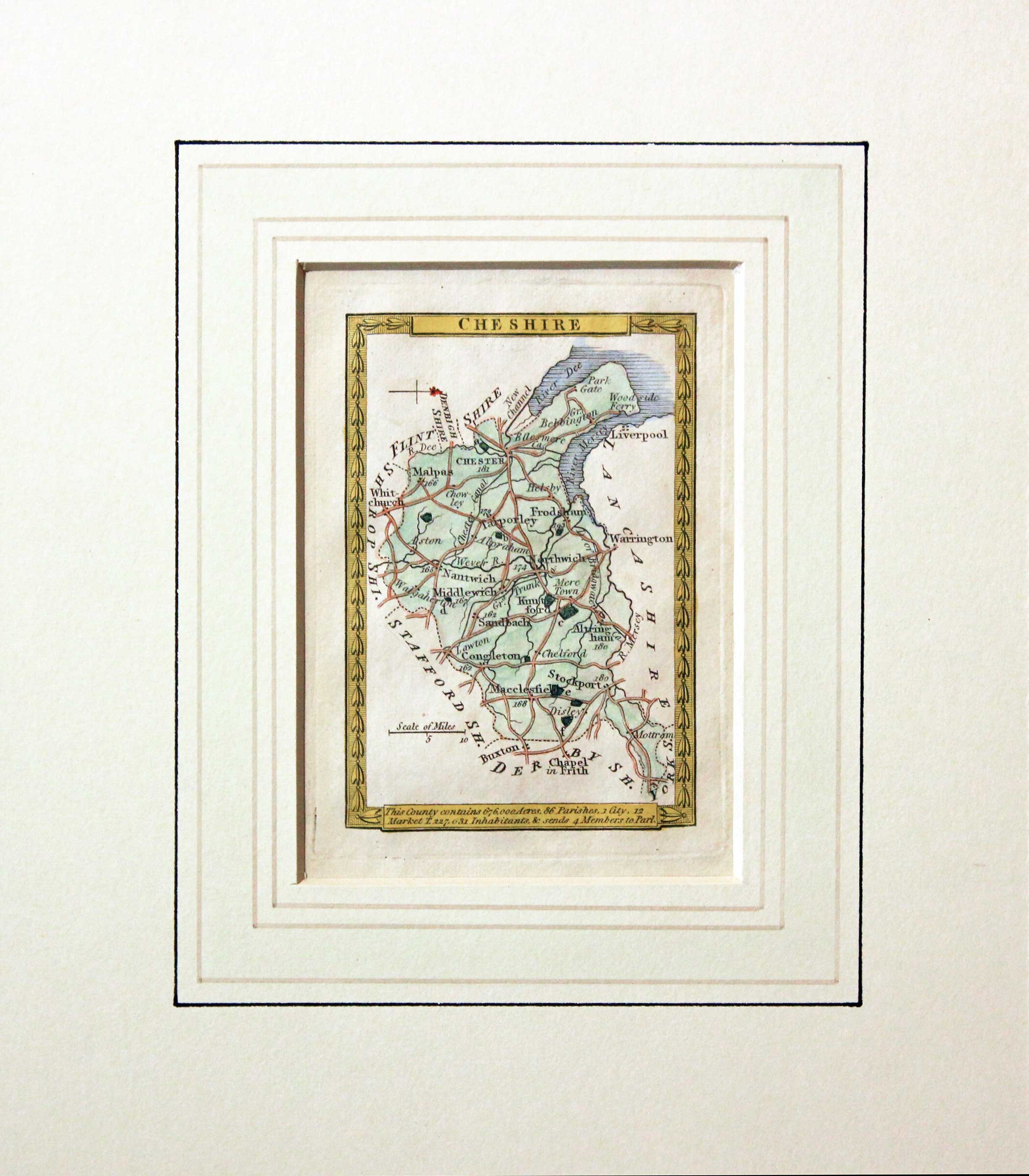
A small engraved map of the county orientated with west at the top. Within a leaf patterned border. Beneath the map is a panel which reads This County contains 675,000 acres, 86 Parishes, 2 Market T. 222,631 Inhabitants and sends 4 Members to Parl. 2 1/4 x 3 3/8 inches. Hand coloured. Good condition. In an ivory tint sunk mount with old stamp of the Regent Gallery Cheltenham some 50 years ars
Eary 19th Century - Original Hand Colouring
-
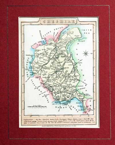
Small Georgian map of Cheshire, James Wallis 1810

31741 Cheshire, James Wallis, c.1810. Price: 27.00
CHESHIRE
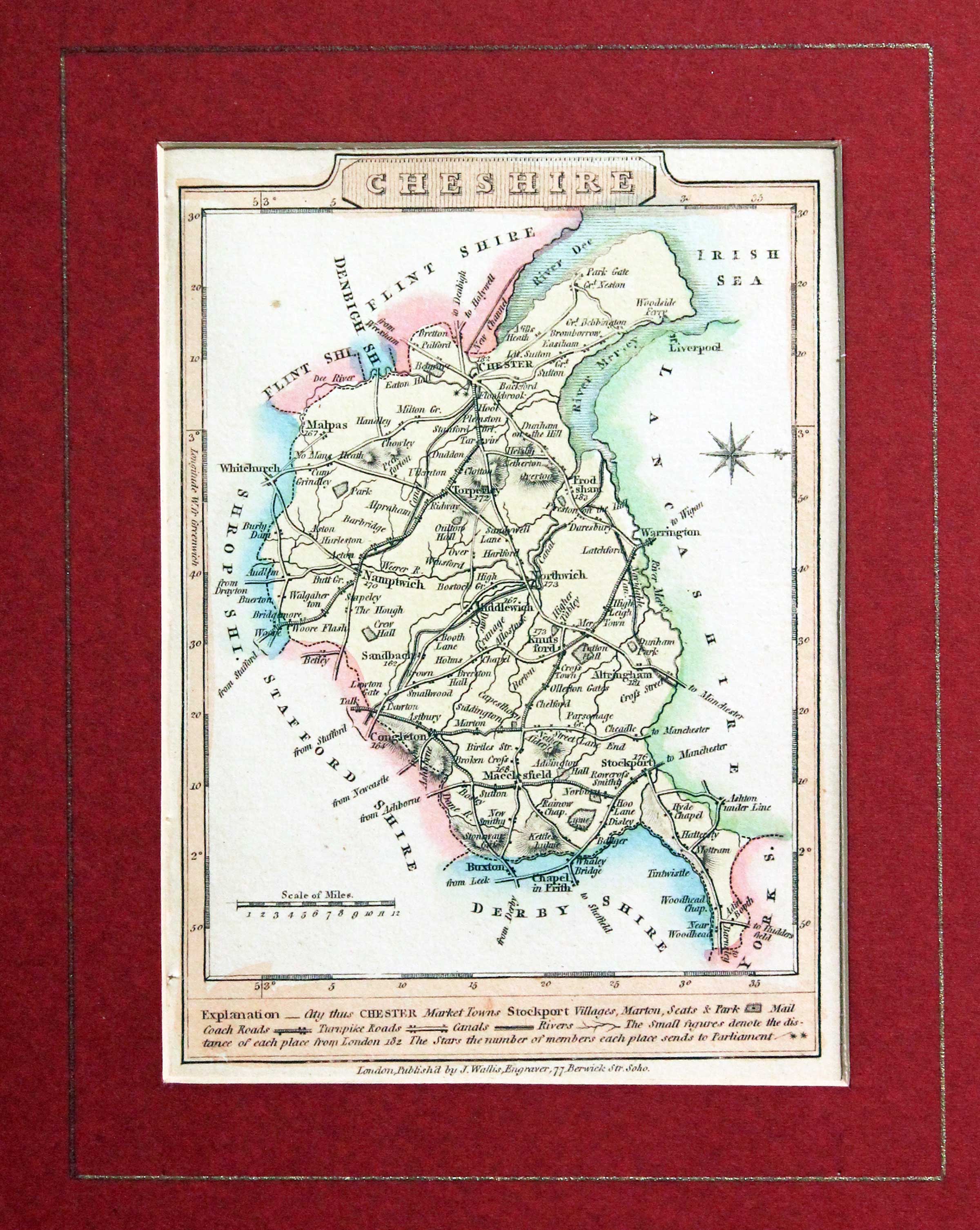
A small engraved map of the county orientated with west at the top. Explanation. Publishers imprint beneath with address of 77 Berwick Street, Soho. 3 1/2 x 5 inches. Original wash hand colouring. In a maroon coloured sunk mount with gold line border. Good clean undamaged condition.
Early 19th Century - Original Hand Colouring
-
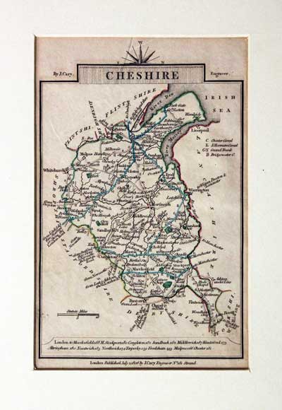
Cheshire, John Cary 1806

31742 Cheshire, John Cary 1806. Price: 29.00
CHESHIRE
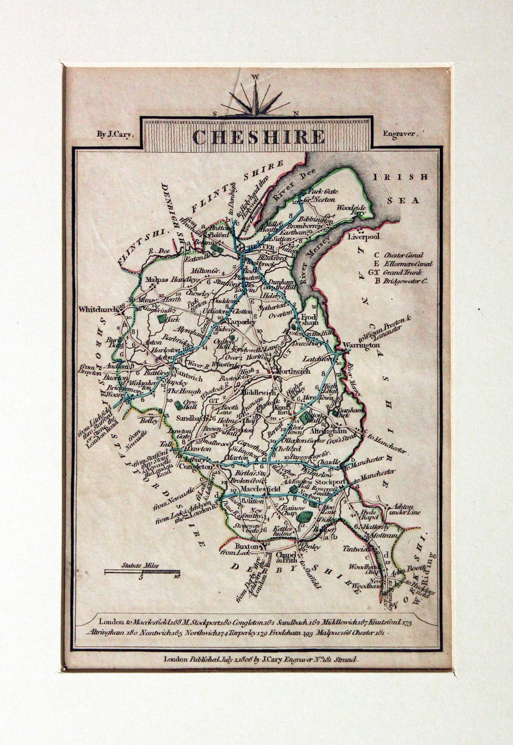
A small engraved map of the county orientated with west at the top. 3 1/2 x 5 inches. Publisher’s imprint Published July 1 1806 J. Cary Engraver No. 181 Strand. Original early outline hand colouring. Good condition. In an ivory tint sunk mount. On verso the stamp of the Regent Gallery in Cheltenham some 50 years ago with price of 20 shillings. Good condition.
From: Travellers Companion
Modern Reproduction of a 19th Century Map
-

Cheshire Fox Hunting. J. & C. Walker, Reproduction of a 19th century map
30465 Cheshire Fox Hunting. J. & C. Walker, Reproduction of a 19th century map. Price: 25.00
CHESHIRE
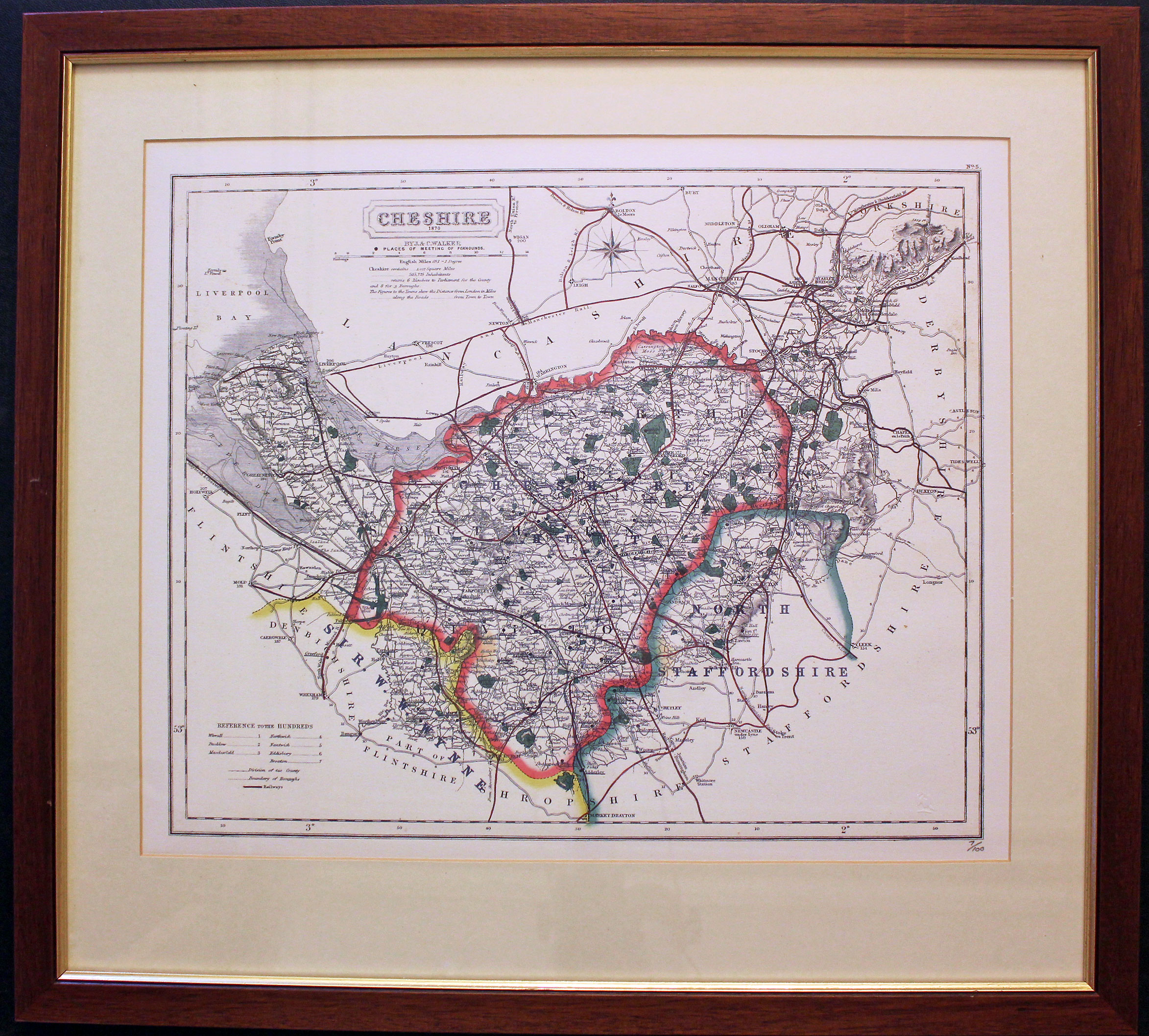
A modern reproduction of this interesting 19th century map of the county showing the Places of Meeting of Foxhounds. Title panel with the name of the publishers J. & C. Walker beneath. Scale. List of hundreds. 15 x 12 1/2 inches. Printed colour. Good condition. Numbered number 7 of 100.
This map was presented in an ivory tint mount and framed in a wood and gilt moulding some years ago. The frame is still in good condition.
I rarely offer reproduction maps but sometimes when I am buying a collection of maps a reproduction creeps in.
Only available to customers who can collect from Christleton.
19th Century
-

Map of Cheshire, Cole & Roper c.1835

32329 Cheshire, George Cole and John Roper, c.1835. Price: 19.50
CHESHIRE
The later edtion of this map originally published in 1810. An engraved map of the county divided into hundreds. Explanation and list of hundreds. 8 3/4 x 7 inches. Numbered 7 in the top right hand corner. Uncoloured. Original centre fold. Good condition
Late 18th Century
-
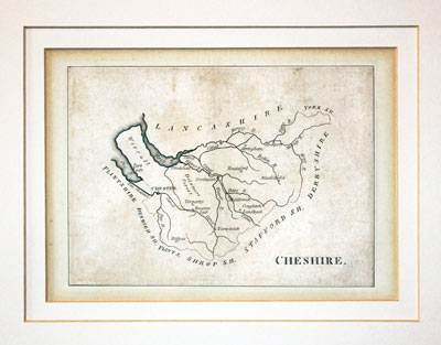
Map of Cheshire, John Aiken c.1790

32507 Cheshire, John Aiken, c.1790. Price: 21.00
CHESHIRE
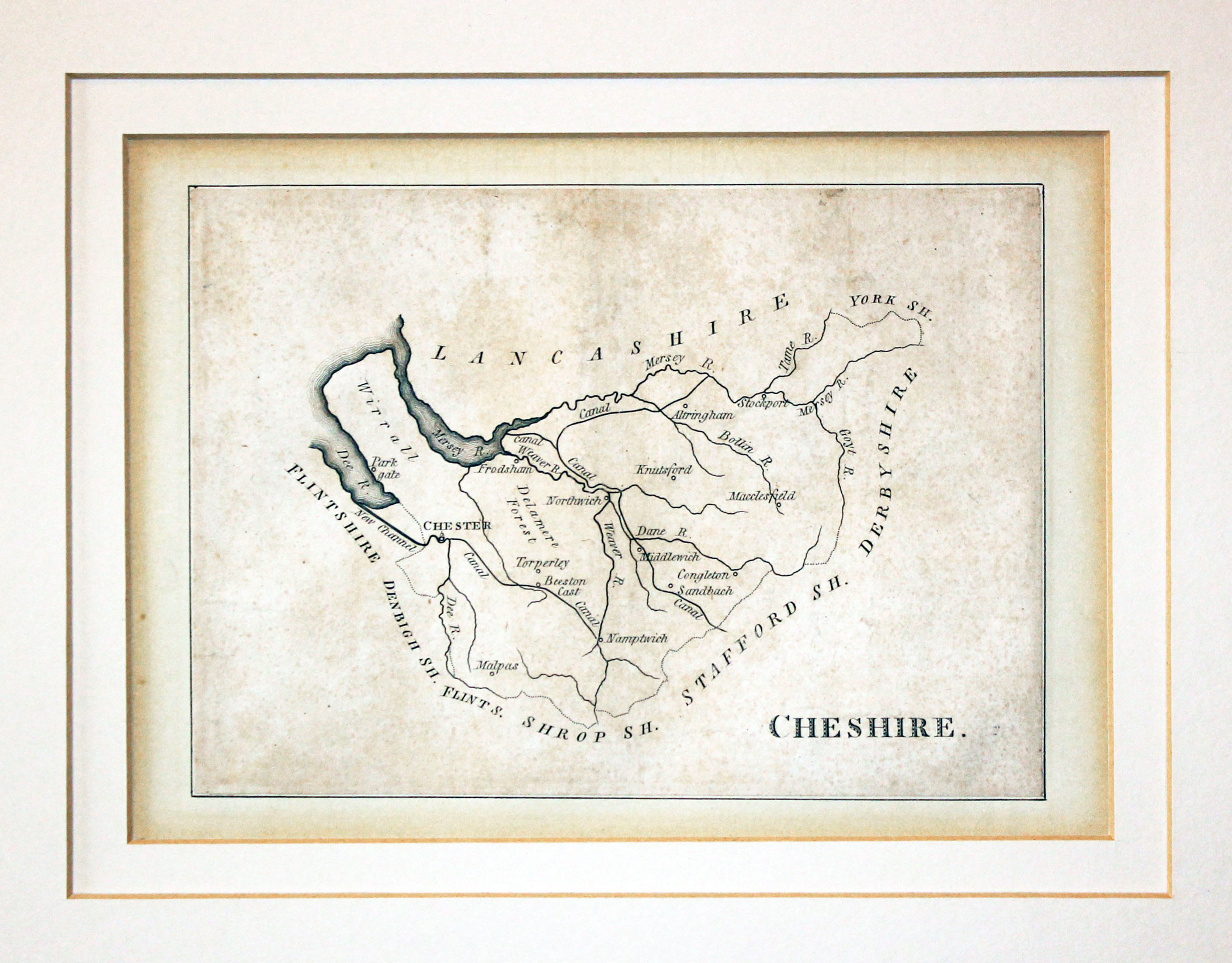
A simple engraved map of the county with title. About 5 x 4 inches. Uncoloured. Good condition. In a double ivory tint sunk mount. From England Delineated
This simplistic series of county maps was intended for school children. They just show towns and rivers. An interesting addition for any collection of county maps.
19th Century
-
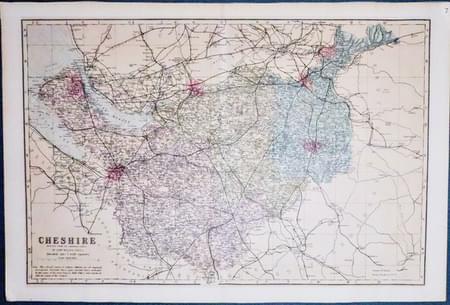
Cheshire map, Edward Weller c.1884
32509 Cheshire, Edward Weller, c.1884. Price: 25.00
CHESHIRE
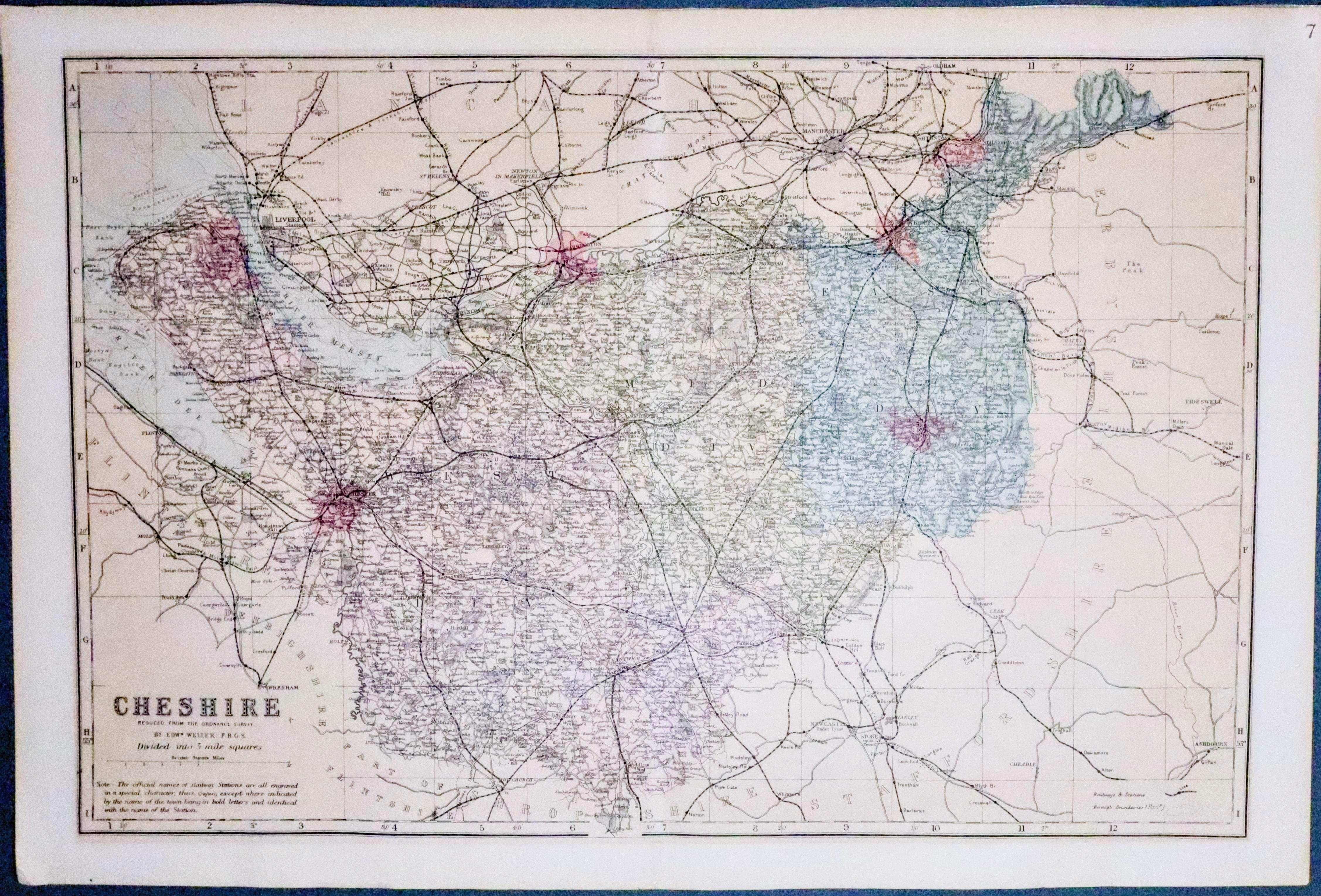
A detailed colour printed lithograph map of the county including the railways. Original centre fold. 18 x 12 inches. Strip of masking tape across the top of the map on verso where the map has been in a sunk mount in the past. Otherwise good condition. From New Large Scale Ordnance Atlas of the British Isles published by George W. Bacon

Late 18th Century - Early Hand Colouring
-
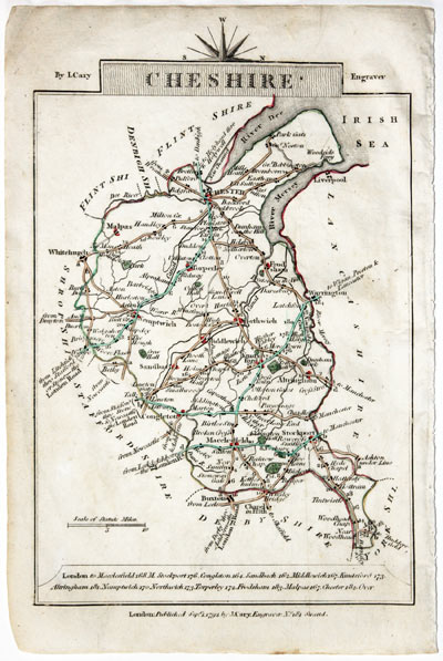
Map of Cheshire, John Cary, 1792
32575 Cheshire, John Cary, 1792. Price: 14.00
CHESHIRE
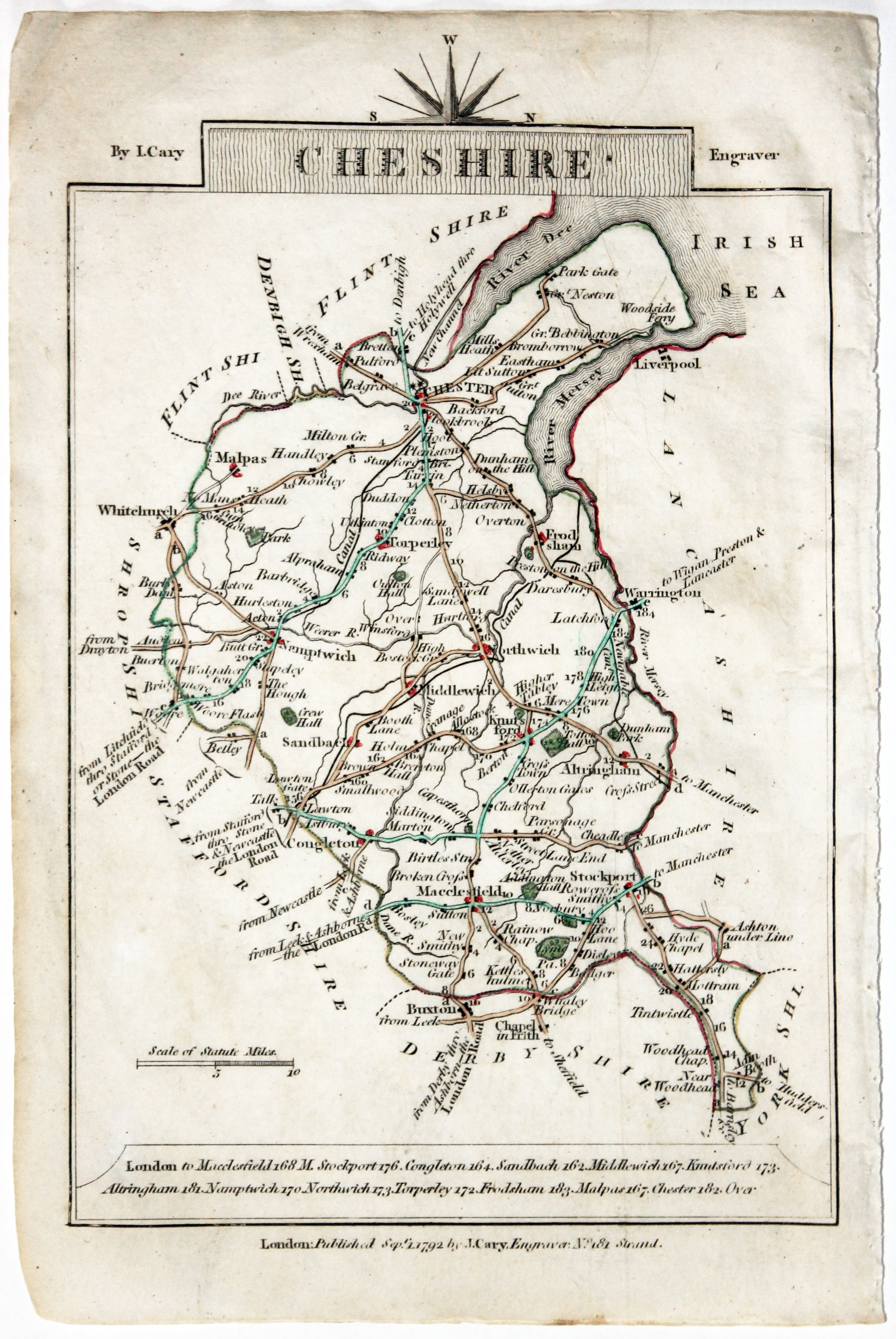
A small engraved map of the county. Tile panel surmounted by half compass rose. Panel at bottom with list of distances from London. Publisher’s imprint beneath dated 1792. 3 1/2 x 4 3/4 inches. Thin paper. Original outline hand colouring. Good condition.
From: Cary’s Traveller’s Companion
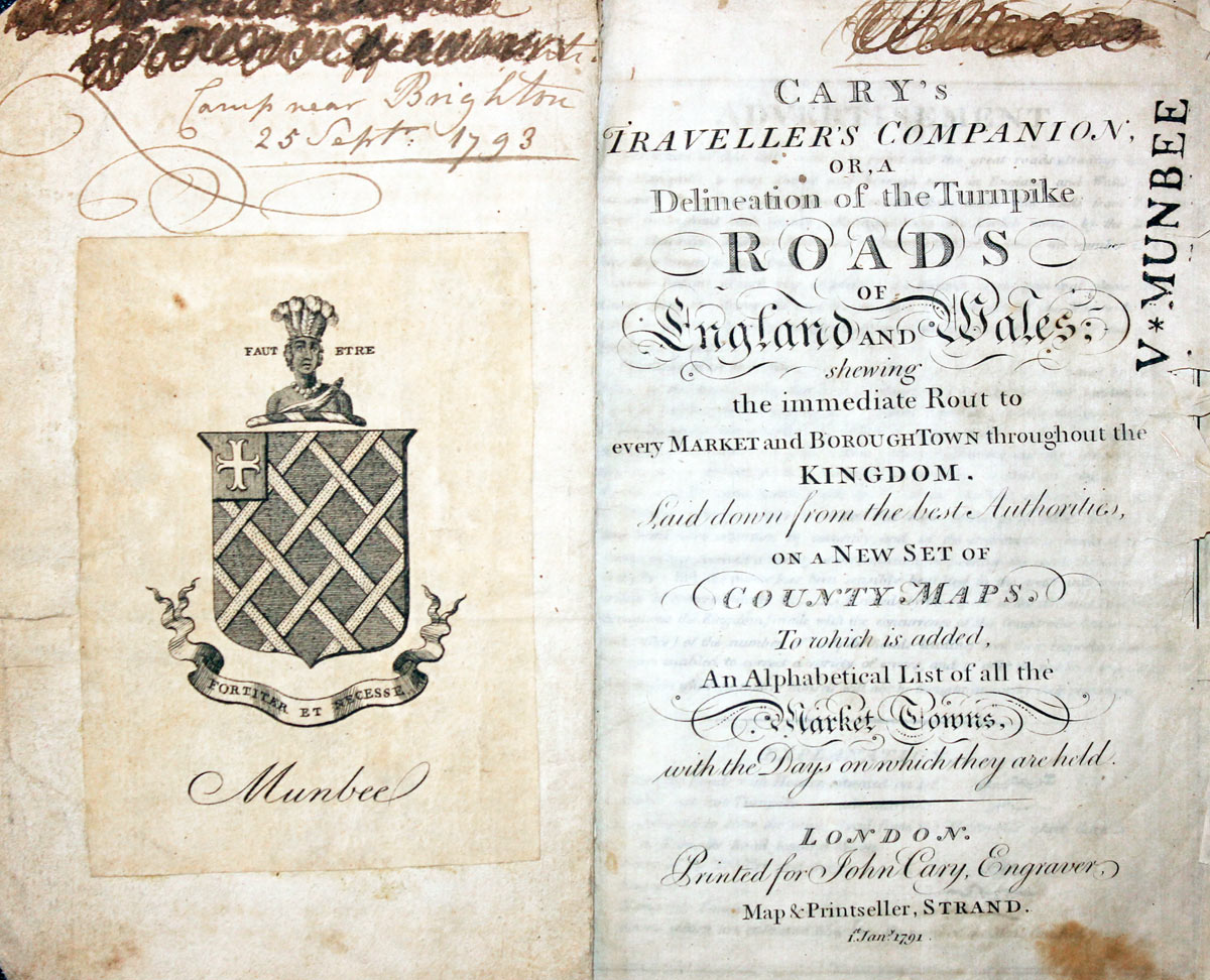
Titlepage dated 1791, maps dated 1792. The atlas was formerly in the Mumbee family library - titlepage stamped V. Munbee
Provenance
-
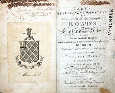
Cary Titlepage and Munbee Bookplate

SEE ALSO
When someone usually from overseas asks me where Cheshire is in England I often reply "halway up on the lefthand side". Sometimes I ask if they have heard of Liverpool or Manchester. There is usually a great football roar to which I reply "well Cheshire is very near"

