Antique Maps of Merionethshire
Richard Nicholson of Chester
A World of Antique Maps and Prints
Established in 1961
All the Maps on this page are guaranteed to be genuine early specimens
published in or around the year stated
For though I may not see thy hills in truth,
Nor feel thy breezes on my face so fair,
Yet in thy map, I find eternal youth,
And in my heart, thy beauty's always there
18th Century - Early Hand Colouring
-

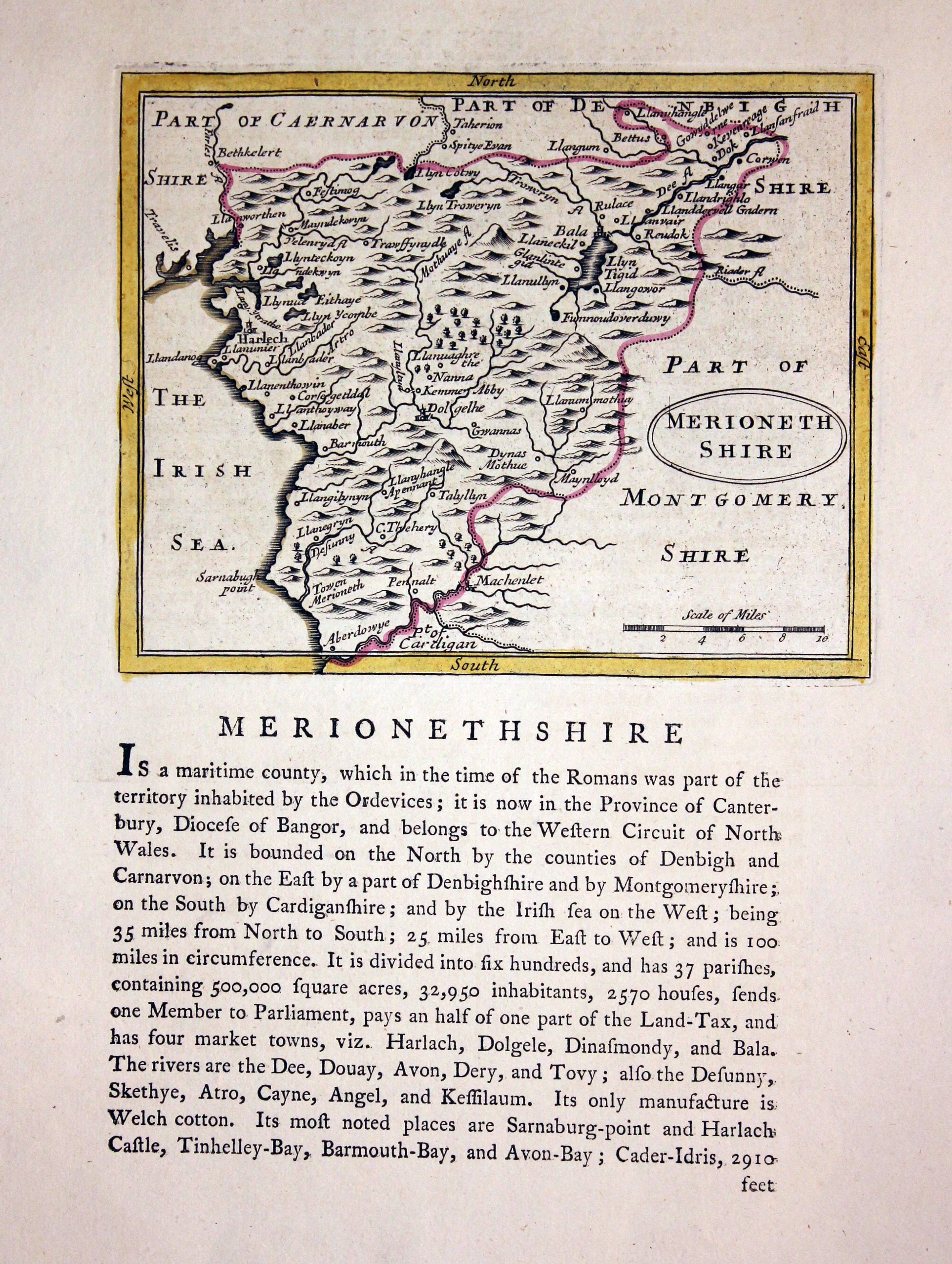
Merionethshire, John Seller, c.1787

18905 Merionethshire, John Seller, c.1787. Price: 29.00
MERIONETHSHIRE
An engraved county map with an oval title panel. 5 3/4 x 4 3/4 inches. Early outline hand colouring. Good condition. Descriptive text beneath which continues on verso.
From: Grose's Antiquities
Early 18th Century
-

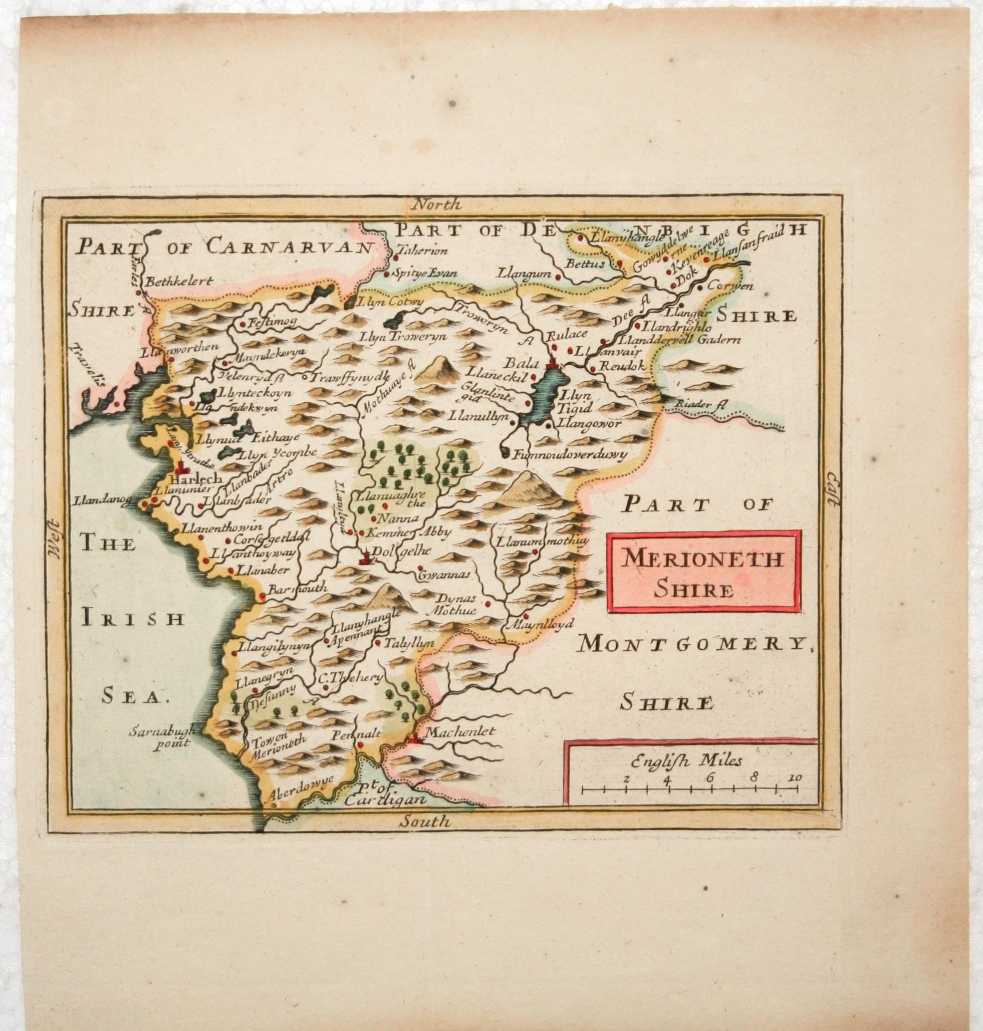
Merionethshire, John Seller, 1701
19120 Merionethshire, John Seller, 1701. Price: 38.00
MERIONETHSHIRE
A small engraved county map with title panel and scale. 5.5 x 4.5 inches. Hand coloured. Small left hand blank margin. Good condition.
From: Camden's Britannia Abridg'd.
18th Century
-

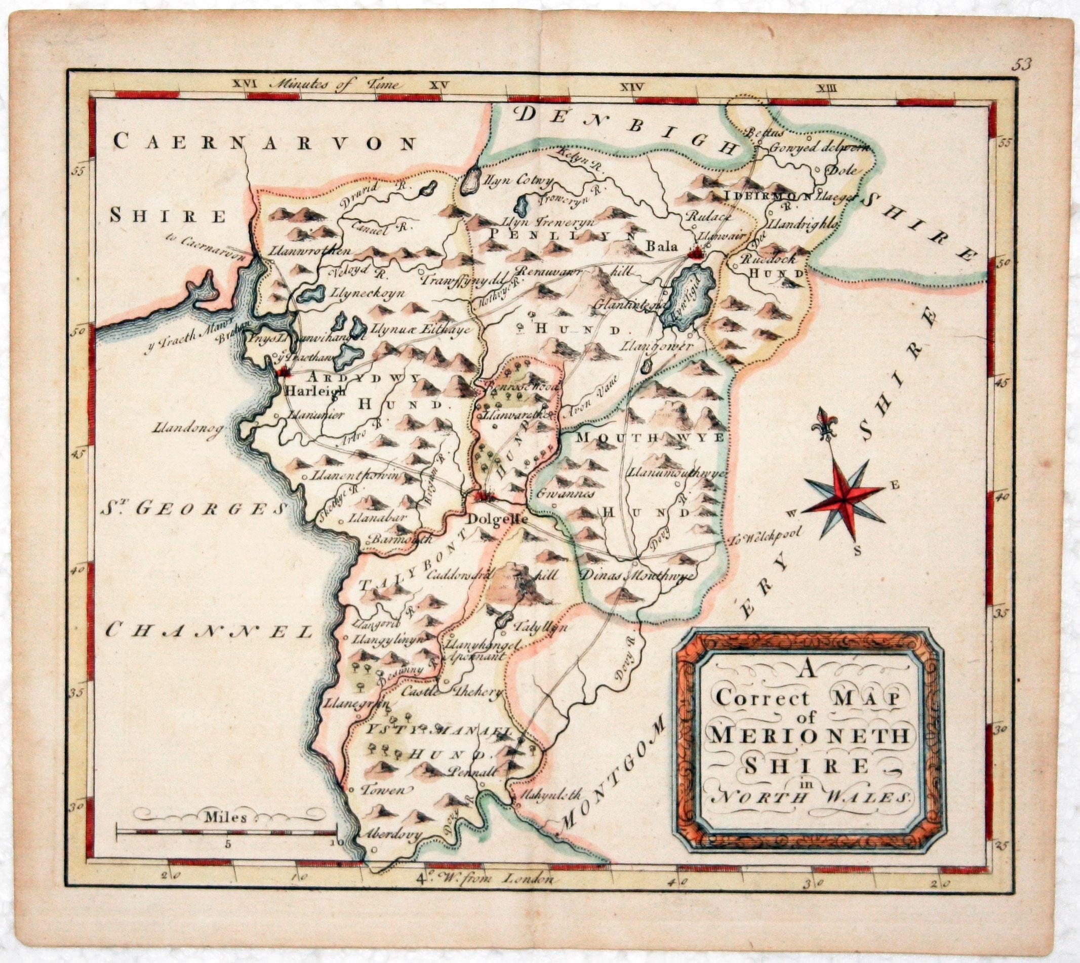
Merionethshire, Thomas Osborne 1748

21070 Merionethshire, Thomas Osborne, 1748. Price: 40.00
A CORRECT MAP OF MERIONETHSHIRE IN NORTH WALES
An engraved county map with shaped title panel. Compass rose and scale. 6 3/4 x 5 3/4 inches. Hand coloured. Good condition.
From: Geographia Magnae Britannia
18th Century
-

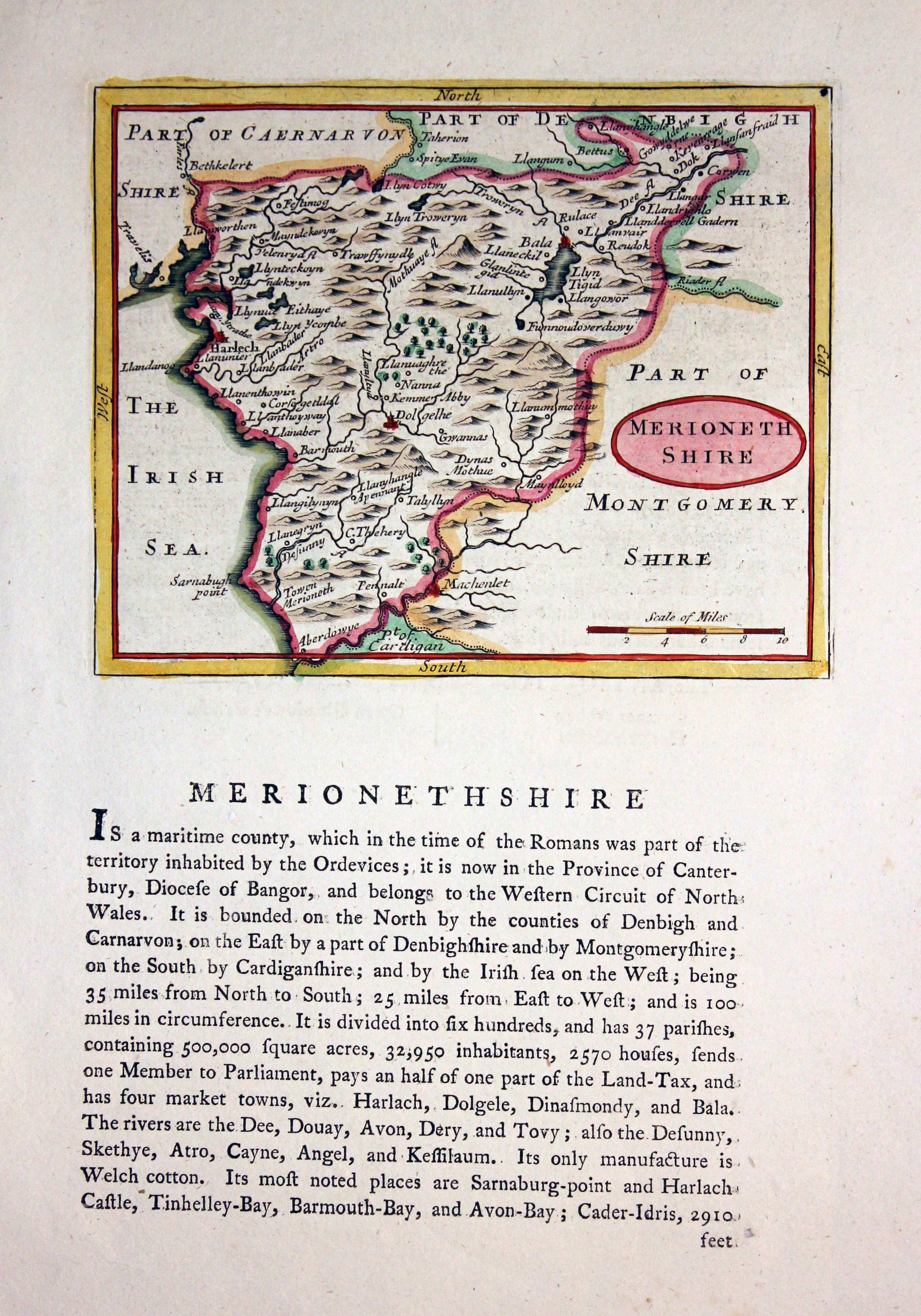
Merionethshire, John Seller c.1787

22002 Merionethshire, John Seller, c.1787. Price: 29.00
MERIONETHSHIRE
An engraved county map with an oval title panel. 5 3/4 x 4 3/4 inches. Hand coloured. Descriptive text beneath which continues on verso.
From: Grose's Antiquities
18th Century
-
Merionethshire, Thomas Osbrone 1748

23421 Merionethshire, Thomas Osborne, 1748. Price: 42.00
A CORRECT MAP OF MERIONETHSHIRE IN NORTH WALES
An engraved county map with shaped title panel. Compass rose and scale. 6 3/4 x 5 3/4 inches. Hand coloured. Good condition.
From: Geographia Magnae Britanniae
18th Century
-

Merionethshire, John Seller c.1787

23627 Merionethshire, John Seller, c.1787. Price: 29.00
MERIONETHSHIRE
An engraved county map with an oval title panel. 5 3/4 x 4 3/4 inches. Hand coloured. Descriptive text beneath which continues on verso.
From: Grose's Antiquities
Early 19th Century Sea Chart
-
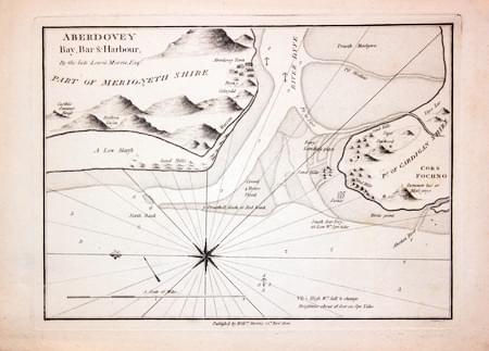
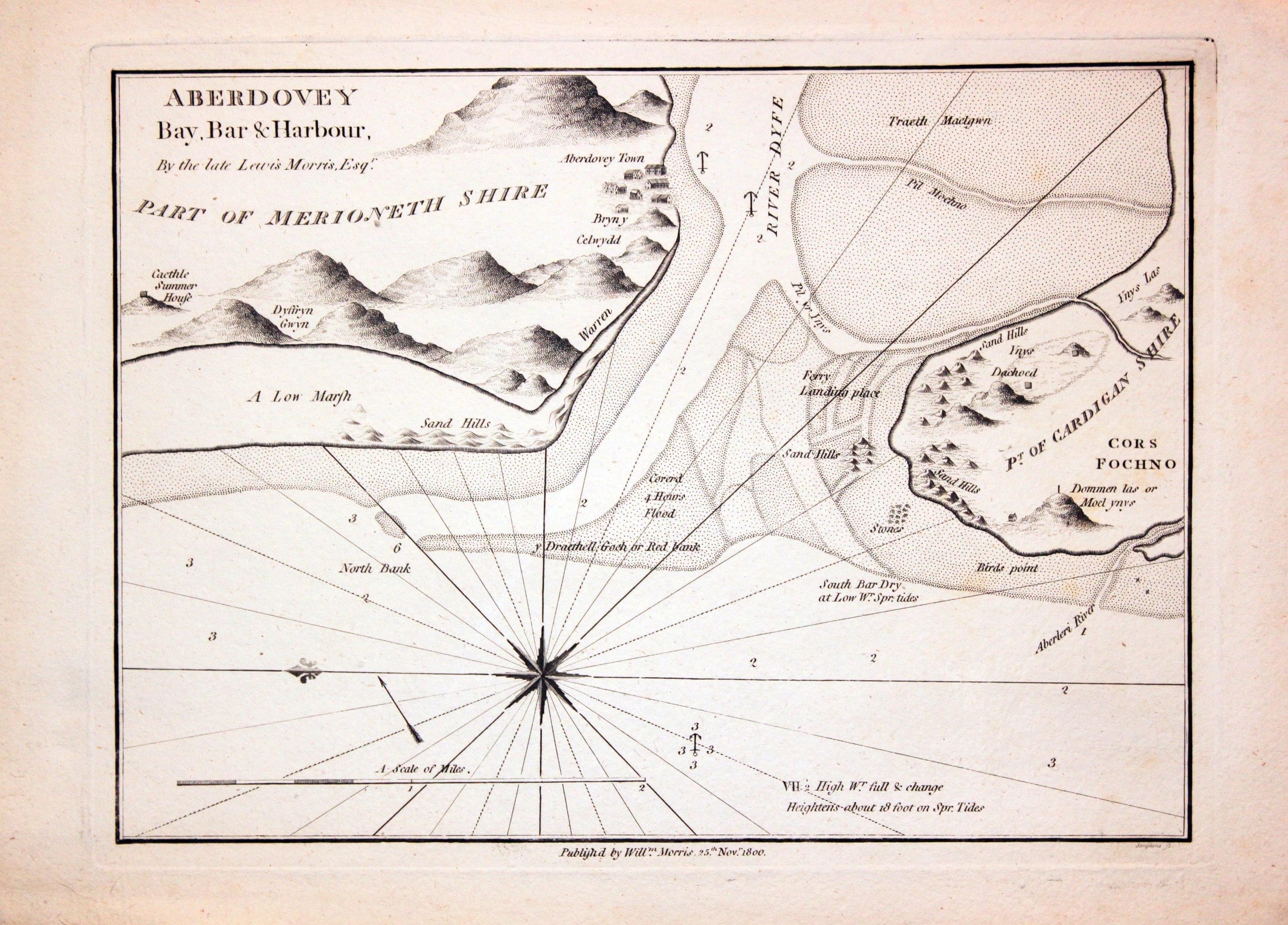
Chart of Aberdovey, William Morris 1801

24571 Aberdovey, William Morris, 1801. Price: 58.00
ABERDOVEY BAY, BAR & HARBOUR. BY THE LATE LEWIS MORRIS ESQR.
An interesting engraved chart of the region with the entrance to the river. 9 1/4 x 6 3/4 inches. Uncoloured. Good condition.
From: Plans of the Principal Harbours, Bays & Roads in St. George’s Channel and the Bristol Channels
18th Century Road Map
-
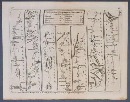
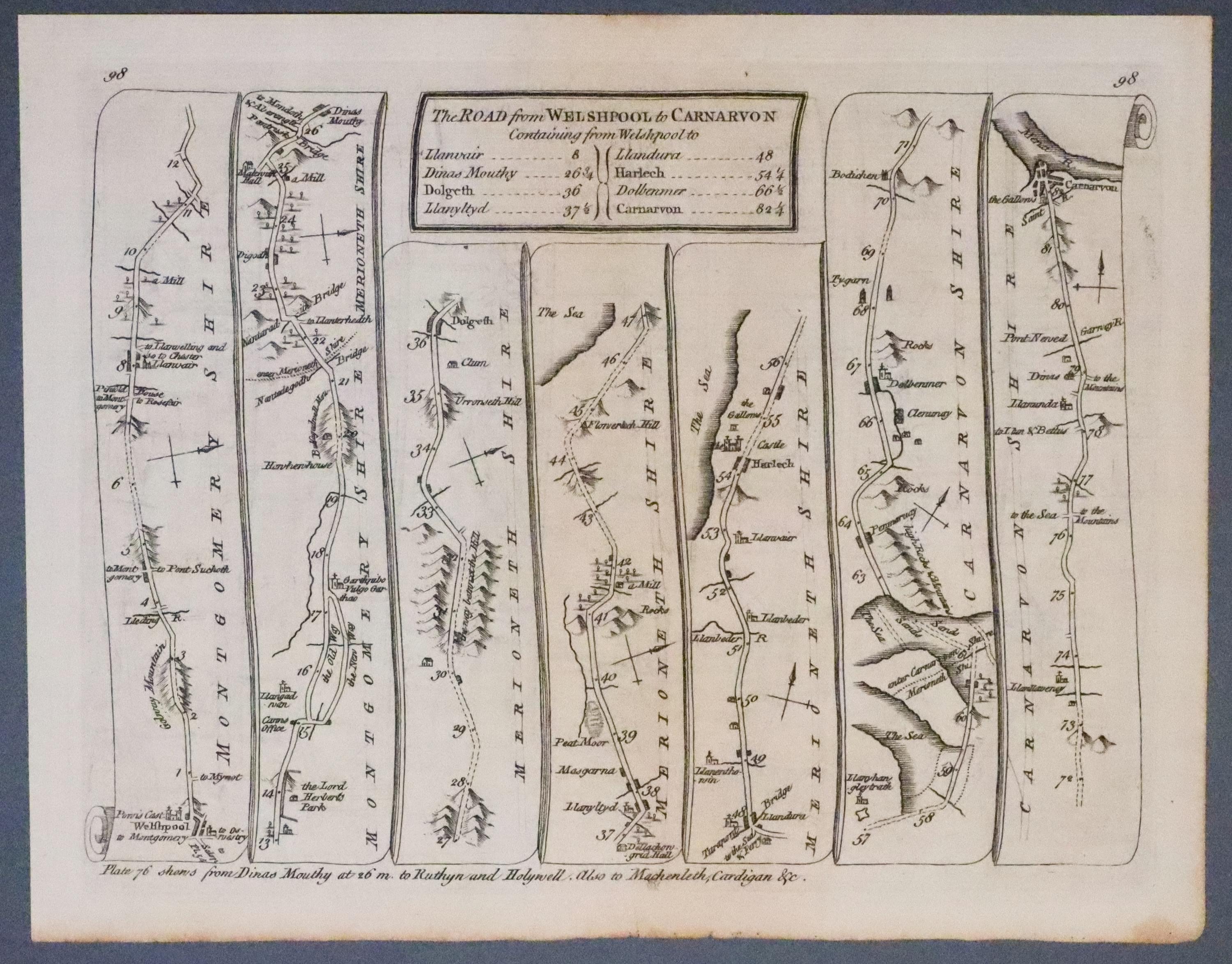
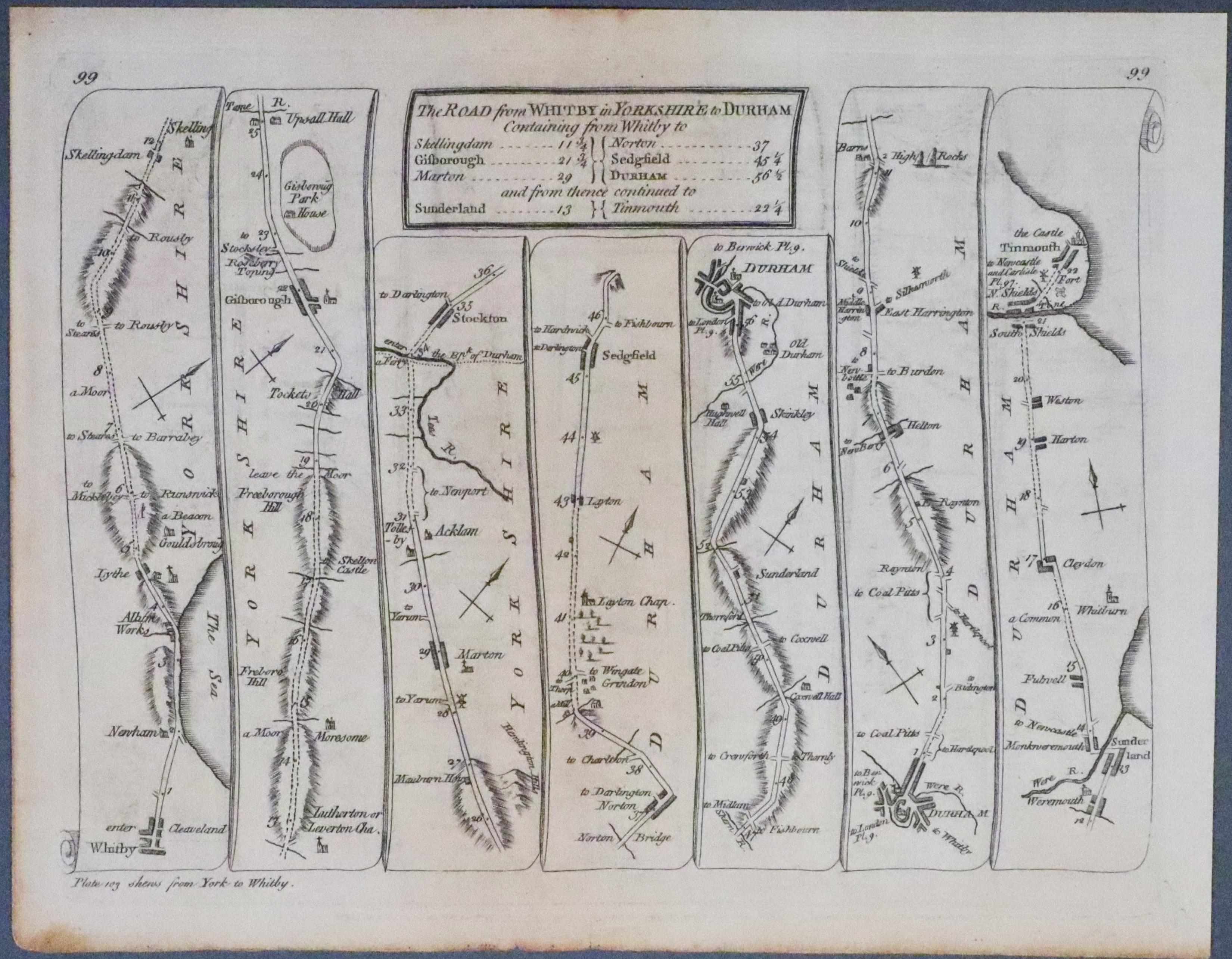
Road Map Welshpool to Caernarvon, Thomas Kitchin 1767
-
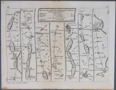
Road Map Welshpool to Caernarvon, Thomas Kitchin 1767

27080 Road Map by Thomas Kitchin, 1767. Price: 38.00
**Plate 98/99. THE ROAD FROM WELSHPOOL TO CARNARVON. Welshpool,Harlech, Caernarvon.
THE ROAD FROM WHITBY IN YORKSHIRE TO DURHAM, Whitby, Gisborough, Stockton, Durham, Sunderland, Tynemouth.**
A double sided road map. 8 x 6 inches. Uncoloured. Good condition.
From: Kitcin’s Post-Chaise Companion through England and Wales.
18th Century County and Road Map
-
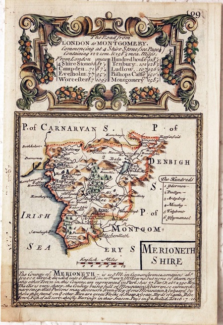
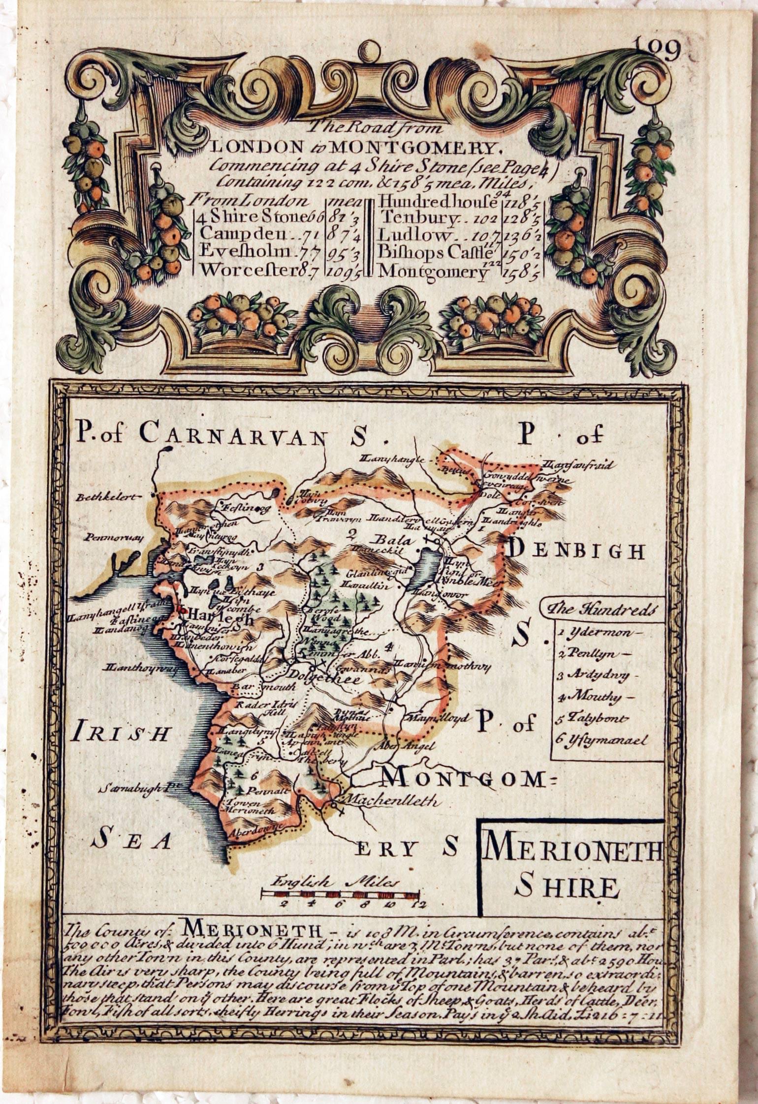
Merionethshire, John Owen and Emanuel Bowen c.1730

27755 Merionethshire, John Owen and Emanuel Bowen, c.1730. Price: 28.00
MERIONETHSHIRE
An engraved county map with title panel, list of hundreds and description beneath. The map is surmounted by a baroque cartouche titled The Road from London to Montgomery. Strip road map on verso from Campden in Gloucestershire to beyond Worcester embellished with two coats of arms and engraved notes. 4 x 7 1/4 inches. Hand coloured on the county map side only. Small piece of adhesive tape on verso in bottom blank corner. Good condition.
From: Britannia Depicta
18th Century County and Road Map
-

Merionethshire, John Owen and Emanuel Bowen c.1730
-

Road Map, John Owen and Emanuel Bowen c.1730
27756 Merionethshire, John Owen and Emanuel Bowen, c.1730. Price: 28.00
MERIONETHSHIRE
An engraved county map with title panel, list of hundreds and description beneath. The map is surmounted by a baroque cartouche titled The Road from London to Montgomery. Strip road map on verso from Campden in Gloucestershire to beyond Worcester embellished with two coats of arms and engraved notes. 4 x 7 1/4 inches. Hand coloured on the county map side only. Very tiny hole in top left hand corner in cartouche area. Good condition.
From: Britannia Depicta

18th Century County and Road Map
-

Merionethire by John Owen and Emanuel Bowen c.1730
-

Road Map from Campden John Owen and Emanuel Bowen c.1730
28179 Merionethshire, John Owen / Emanuel Bowen, c.1730. Price: 25.00
MERIONETHSHIRE
An engraved county map with title panel, list of hundreds and description beneath. The map is surmounted by a baroque cartouche titled The Road from London to Montgomery. Strip road map on verso from Campden in Gloucestershire to beyond Worcester embellished with two coats of arms and engraved notes. 4 x 7 1/4 inches. Uncoloured. Good condition.
From: Britannia Depicta

19th Century
-

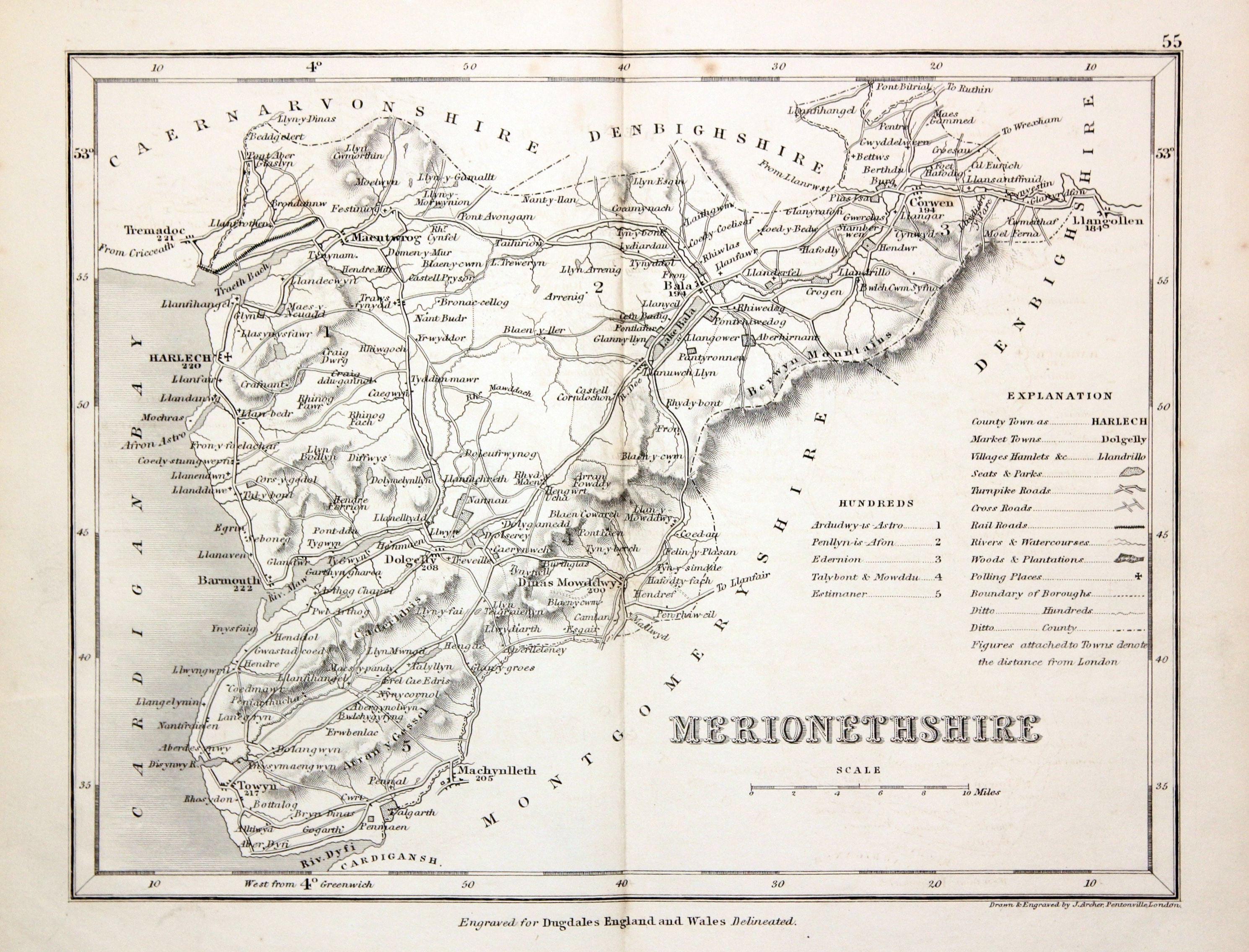
Merionethshire, Joshua Archer c,1845

28320 Merionethshire, Joshua Archer, c.1845. Price: 12.50
MERIONETHSHIRE
An engraved map of the county with scale, list of hundreds and explanation. 9 x 7 inches, 230 x 180 mm. Uncoloured. Good condition.
From: Dugdale's England and Wales Delineated
19th Century - Early Hand Colouring
-

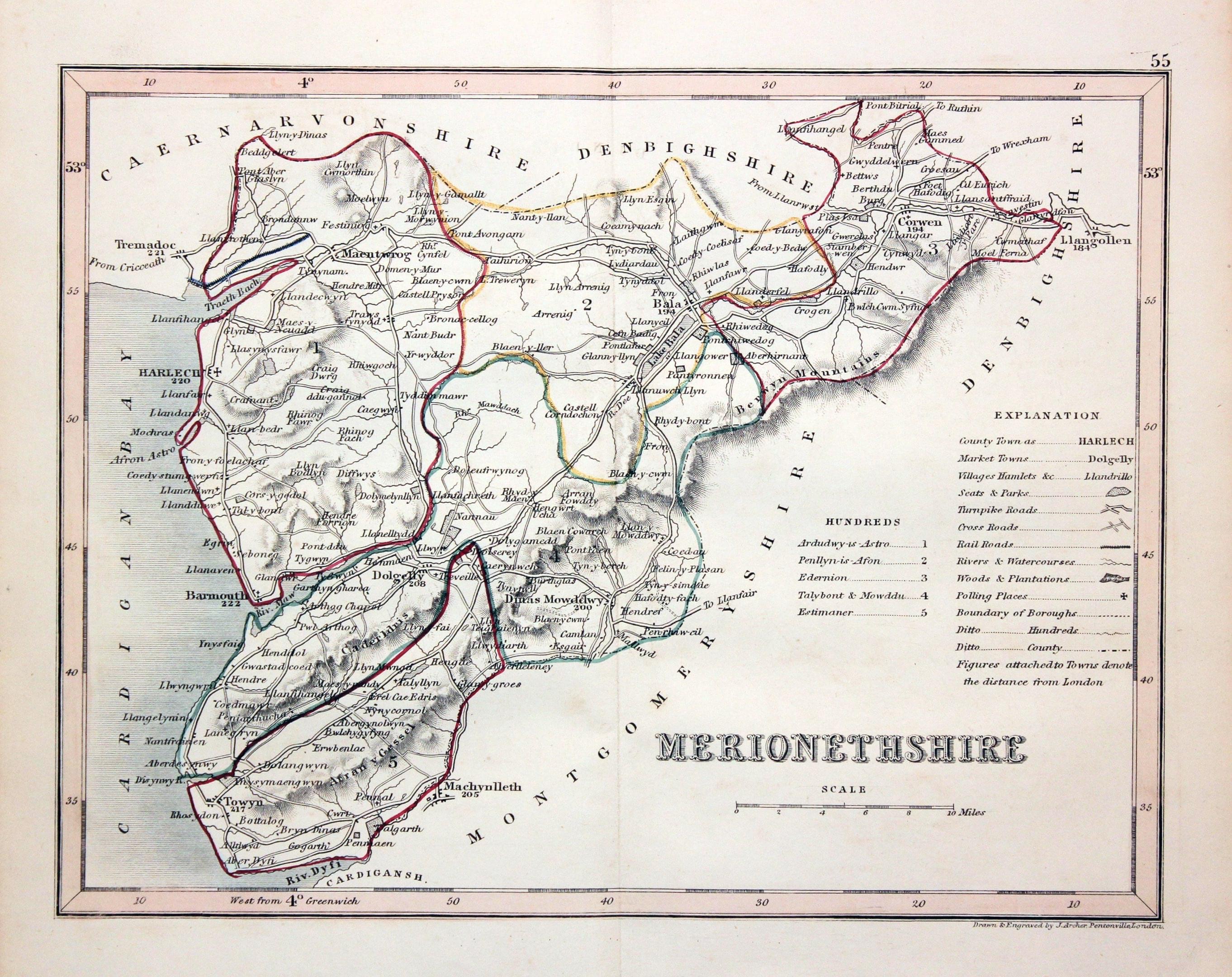
Merionethshire, Joshua Archer c,1843

28397 Merionethshire, Joshua Archer, c.1845. Price: 18.00
MERIONETHSHIRE
A detailed engraved map of the county divided into hundreds. 9 x 7 inches. Original outline hand colouring. Good condition.
From: Dugdale’s England and Wales Delineated
18th Century County and Road Map
-

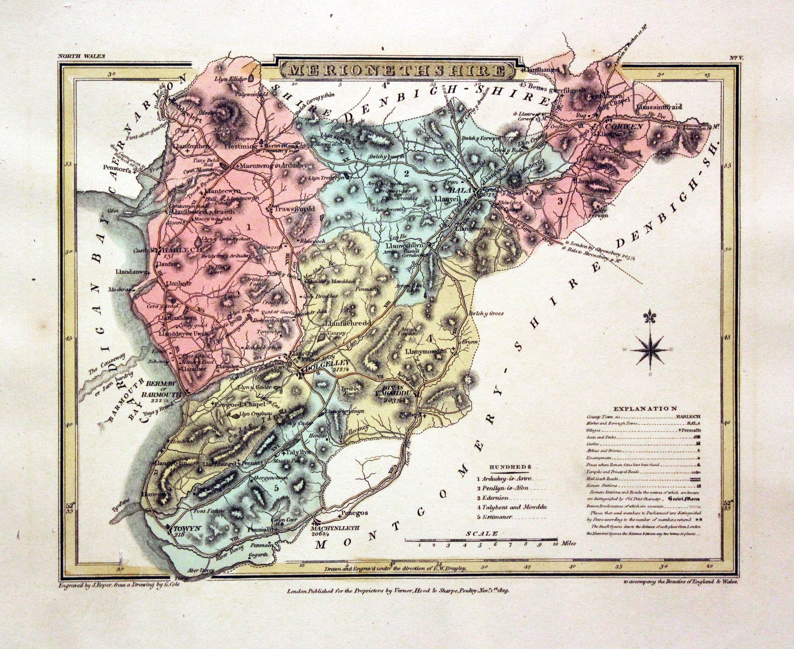
Merionethshire, G. Cole and J. Roper 1810

29926 Merionethshire, George Cole and John Roper, 1810. Price: 29.00
MERIONETHSHIRE
A detailed engraved map of the county with explanation and list of hundreds. Publisher's imprint dated 1809. 8 x 6 inches, 220 x 173 mm. Fine early wash hand colouring. Good stout paper with wide blank margins. Good clean condition.
From: The British Atlas
19th Century - Early Hand Colouring
-

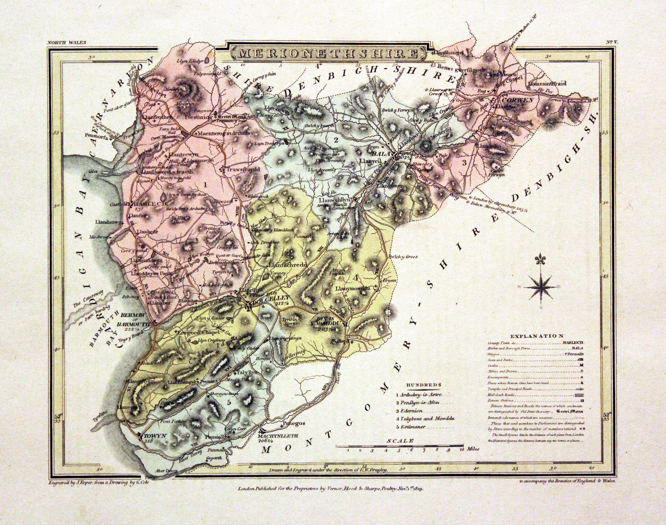
Merionethshire, Cole/Roper 1810

30324 Merionethshire, George Cole and John Roper, 1810. Price: 29.00
MERIONETHSHIRE
A detailed engraved map of the county with explanation and list of hundreds. Publisher's imprint dated 1809. 8 x 6 inches, 220 x 173 mm. Fine early wash hand colouring. Good stout paper with wide blank margins. Good clean condition.
From: The British Atlas
19th Century - Early Hand Colouring
-

Merionethshire, George Cole and John Roper 1810

30556 Merionethshire, George Cole and John Roper, 1810. Price: 29.00
MERIONETHSHIRE
A detailed engraved map of the county with explanation and list of hundreds. Publisher's imprint dated 1809. 8 x 6 inches, 220 x 173 mm. Fine early wash hand colouring. Good stout paper with wide blank margins. Good clean condition. With this map is the original page of descriptive text.
From: The British Atlas
For the Collector
-

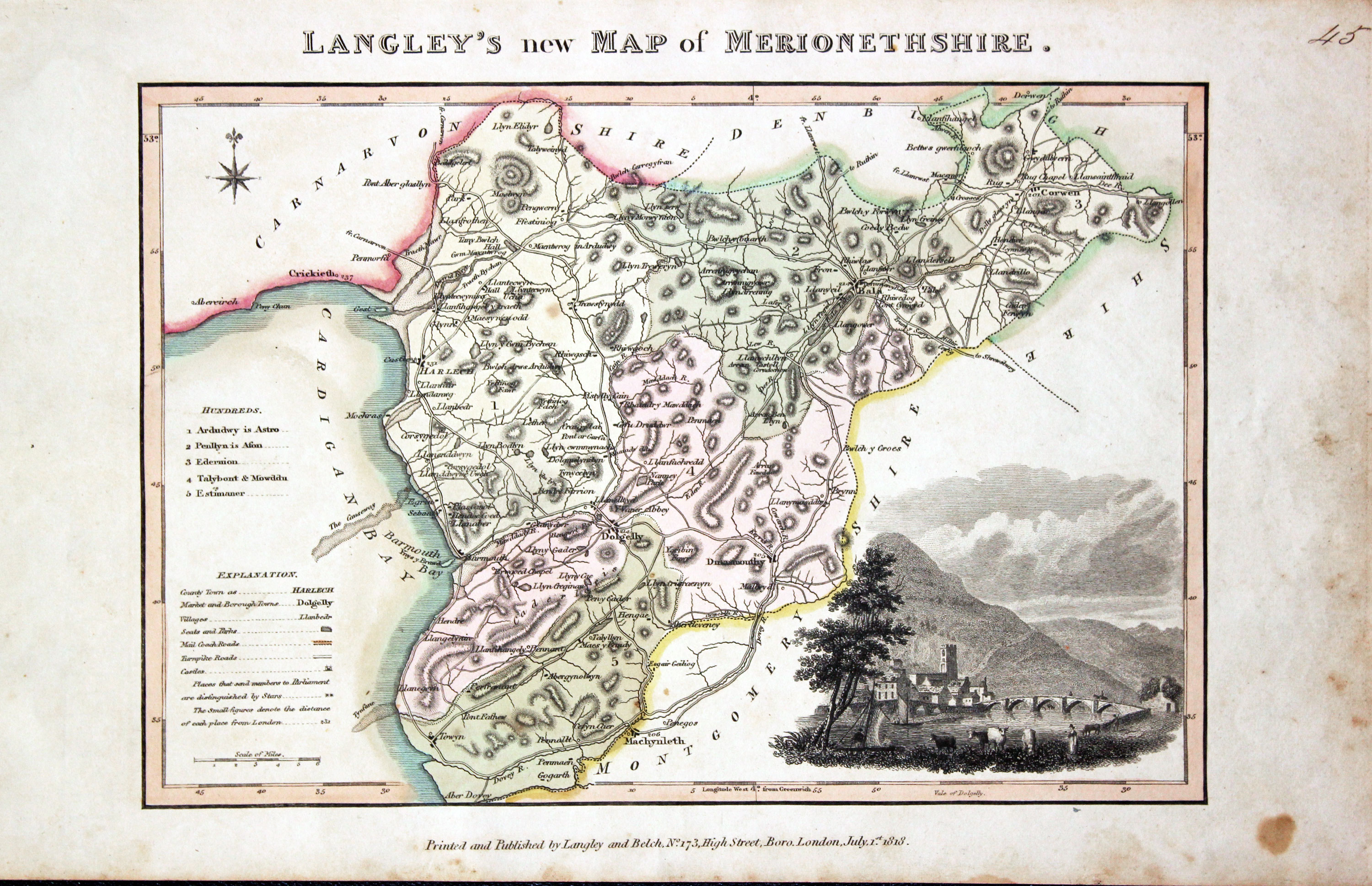
Merionethshire, Edward Langley and William Belch 1820

30950 Merionethshire, Edward Langley and William Belch, 1820. Price: 59.00
LANGLEY’S NEW MAP OF MERIONETHSHIRE
An engraved map of the county. In the bottom right hand corner is a vignette view of Vale of Dolgelly. The title appears above the map. Beneath the map is the publishers imprint Printed and Published by Langley & Belch, No. 173 High Street, Borough, London, July 1st, 1818. 10 x 6 3/4 inches. Manuscript number 45 in the top right hand corner. Original outline and wash hand colouring. A little light toning and some speckled foxing in the blank margins. No tears or repairs.
From Langley’s New County Atlas of England and Wales
19th Century
-

Merionethshire, Joshua Archer c.1845

30968 Merionethshire, Joshua Archer, c.1845. Price: 14.00
MERIONETHSHIRE
A detailed engraved map of the county divided into hundreds. 9 x 7 inches. Uncoloured. Good condition.
From: Dugdale’s England and Wales Delineated
19th Century
-

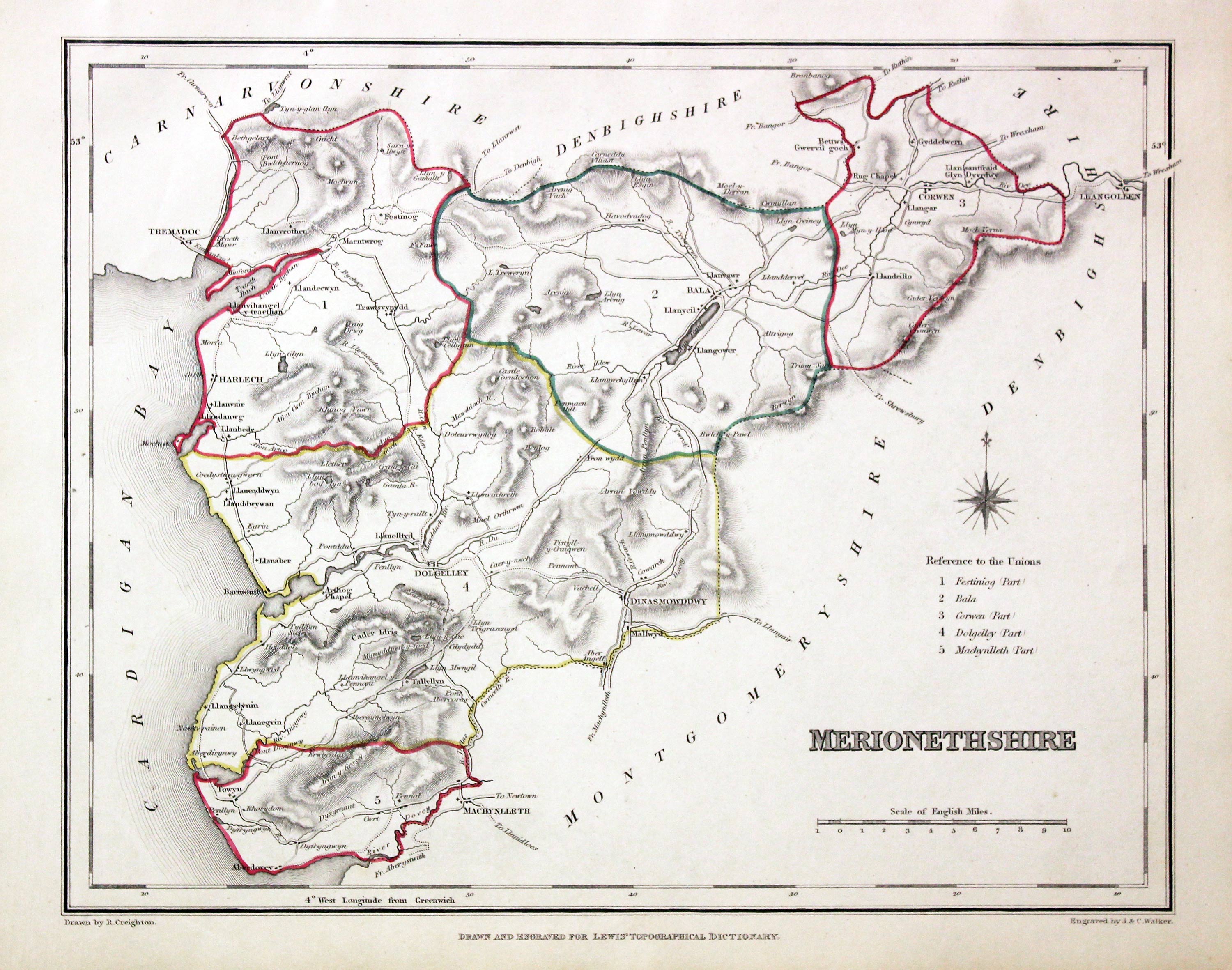
Merionethshire, Samuel Lewis 1845

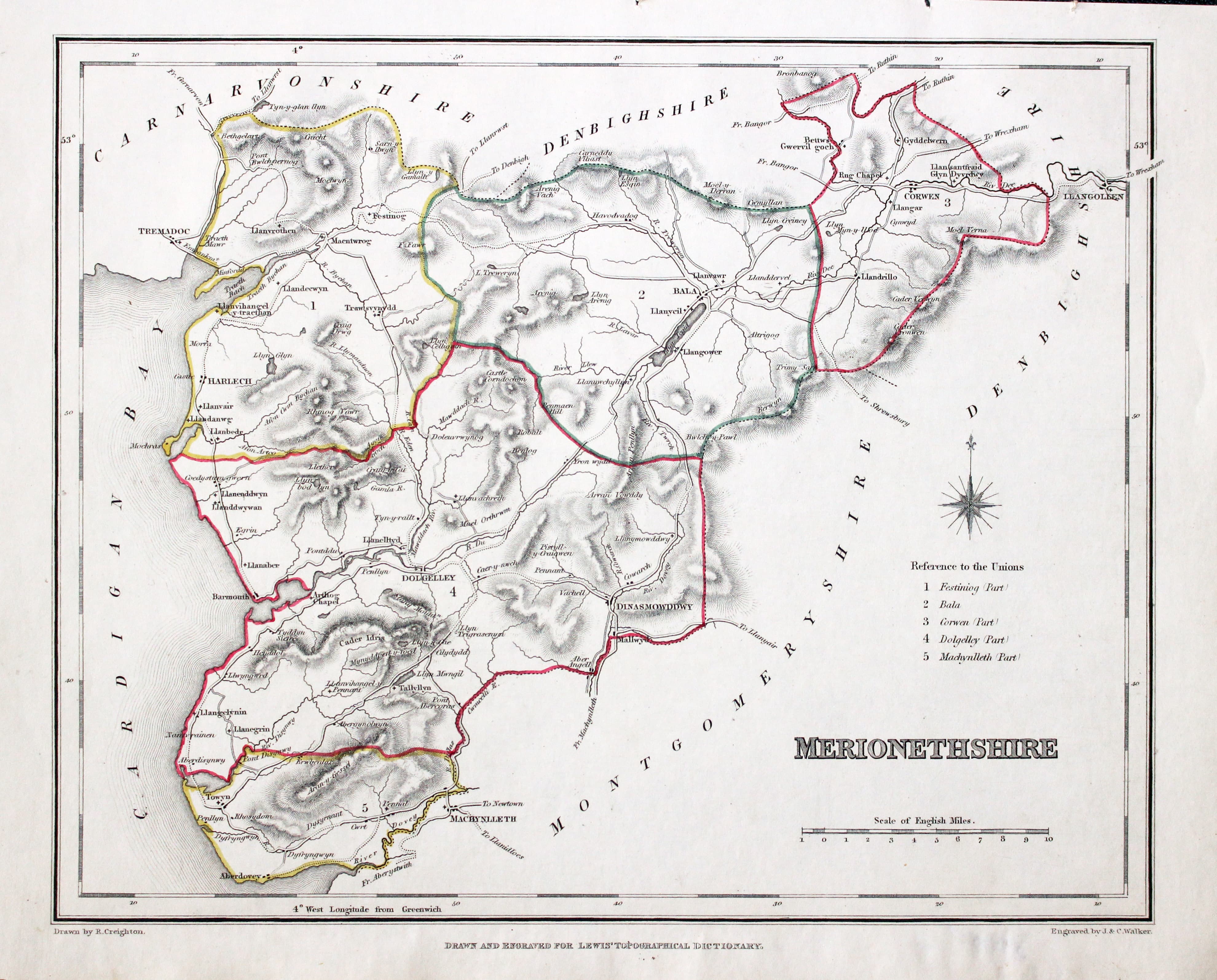
31602 Merionethshire, Samuel Lewis, 1845. Price: 25.00
MERIONETHSHIRE
A county map drawn by R. Creighton and engraved by J. & C. Walker. Reference to the Unions. Scale. 9 1/2 x 7 1/2 inches. Original outline hand colouring. Good clean condition. Straight from the atlas and not sold as a single map before now. From Lewis' Atlas to the Topographical Dictionaries of England and Wales
From: Lewis' Atlas to the Topographical Dictionaries of England and Wales
Early 19th Century - Sea Chart
-
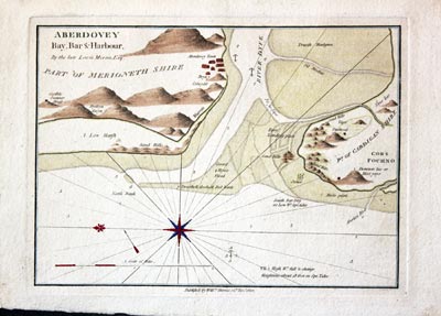
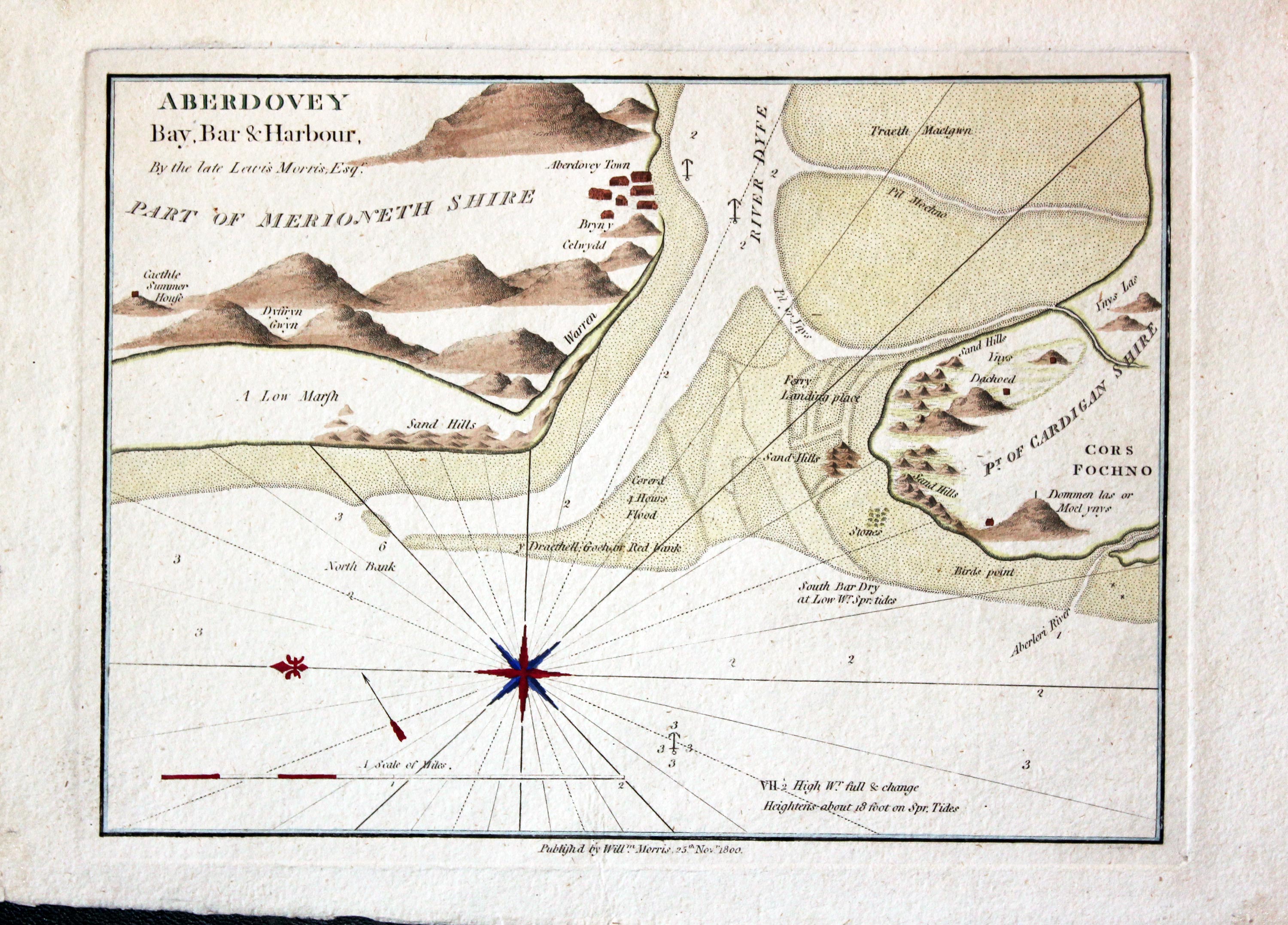
Chart of Aberdovey William Morris 1801

31993 Aberdovey, William Morris, 1801. Price: 68.00
ABERDOVEY BAY, BAR & HARBOUR. BY THE LATE LEWIS MORRIS ESQR
An interesting engraved chart of the region with the entrance to the river. 9 1/4 x 6 3/4 inches. Attractive hand colouring. Fine condition.
From: Plans of the Principal Harbours, Bays & Roads in St. George’s Channel and the Bristol Channels
Early 17th Century
-

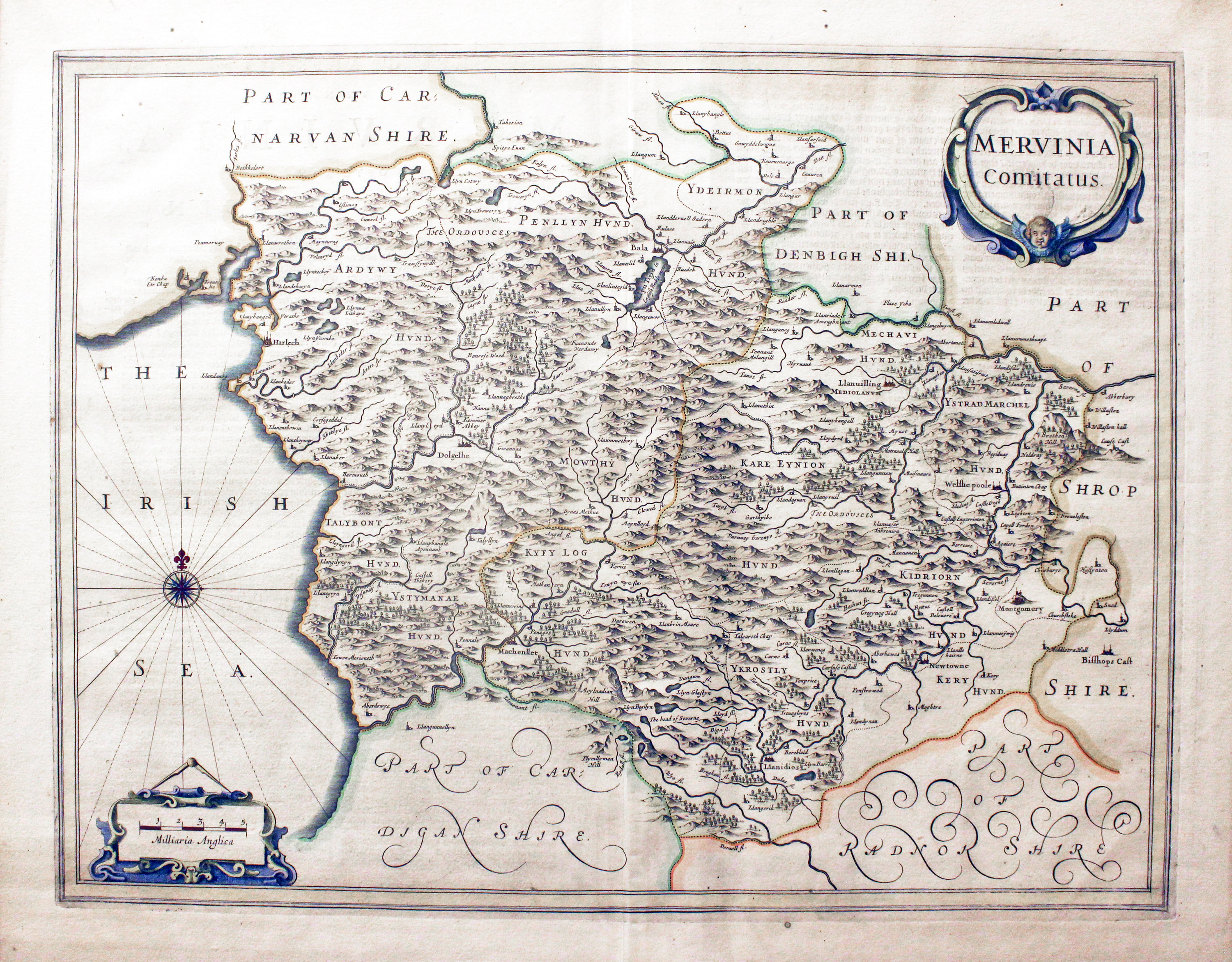
Merionethshire by Jan Jansson, early state published in 1649

32610 Merionethshire, Jan Jansson, 1649. Price: 160.00
MERVINIA COMITATUS
The rare early state of Jansson's map of the county. Decorative title and scale cartouches. Compass rose with rhumb lines. 19 x 15 inches, 500 x 380 mm. Dutch text on verso. Fine condition with attractive later hand colouring.
From: Nieuwen Atlas
This map was framed some years ago in a black and gilt hogarth moulding. The frame is still in reasonable good condition. I know there is Dutch text on verso even though the frame has a solid back as I was able to look at my records when I last sold this specimen in 1989 in my Chester shop. It was nice to see it again as I have now been able to offer another specimen in the intervening years
Only available to customers who can collect from Christletoneton
17th Century - Inset Town Plan
-

Merionethshire, John Speed 1676
-

Tex on verso of Merionethshire, John Speed 1676

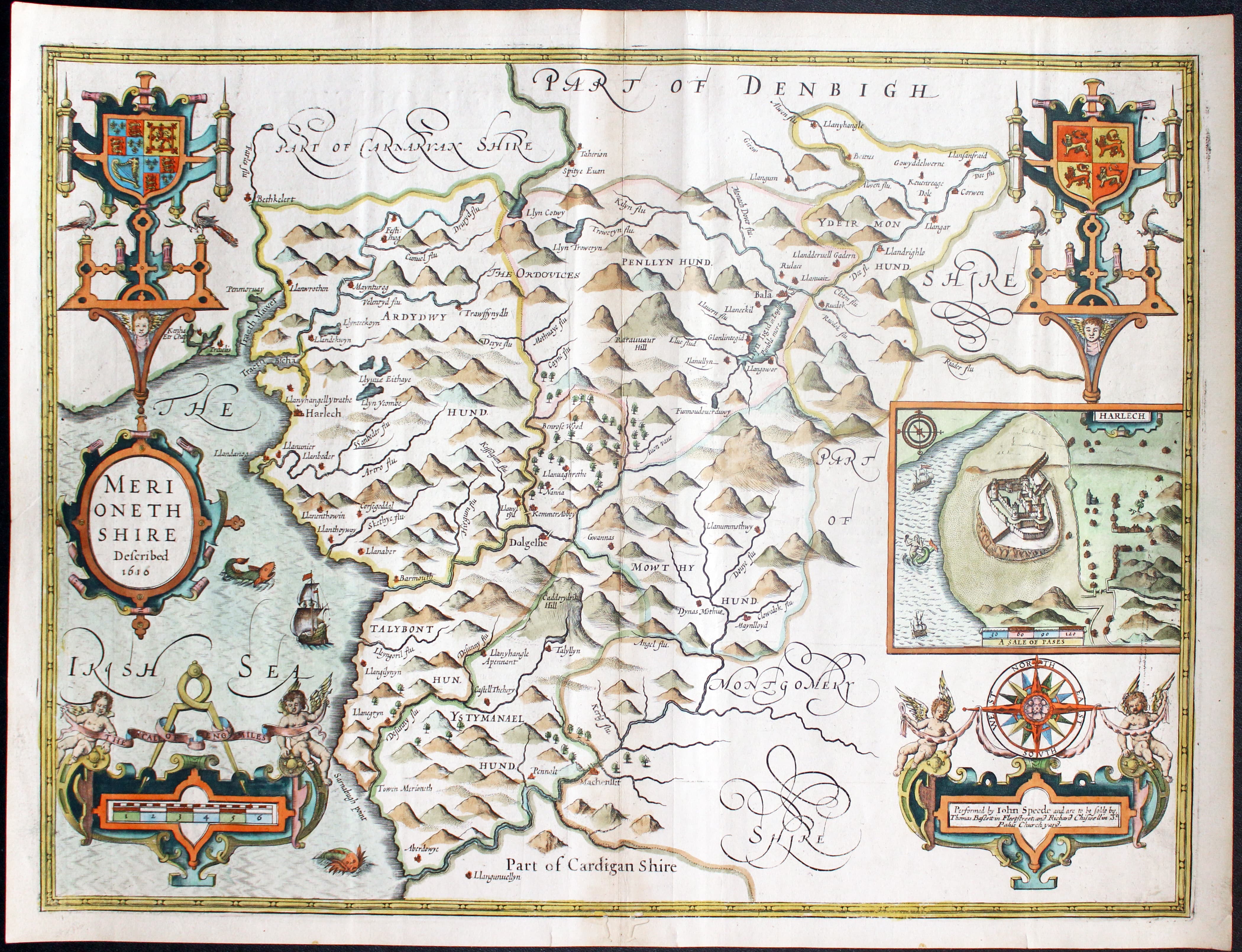
32885 Merionethshire, John Speed, 1676. Price: 220.00
MERIONETHSHIRE DESCRIBED 1610
A fine 17th century engraved map of the county by this famous English cartographer. The map is embellished with decorative strapwork cartouches displaying a plan of Harlech, Royal Arms, Arms of Wales, title, scale, compass rose and imprint of the publishers Thomas Bassett and Richard Chiswell. A ship and two sea monsters appear in the sea area. 20 x 15 inches. Description of the county in English with a list of towns and villages on verso. Repair to slight worming at the bottom of centre fold. Small tear in left hand blank margin repaired. Otherwise a very nice clean specimen on paper slightly heavier than I have seen on many other specimens of this edition.
From: Theatre of the Empire of Great Britain.
19th Century - Early Hand Colouring
-

Merionethshire. Samuel Lewis 1848

32921 Merionethshire, Samuel Lewis, 1848. Price: 19.00
MERIONETHSHIRE
A county map drawn by R. Creighton and engraved by J. & C. Walker. Reference to the Unions. Scale. 9 1/2 x 7 1/2 inches. Original outline hand colouring. Good clean condition. Straight from the atlas and not sold as a single map before now.
From: Lewis' Atlas to the Topographical Dictionaries of England and Wales
Early 17th Century
-
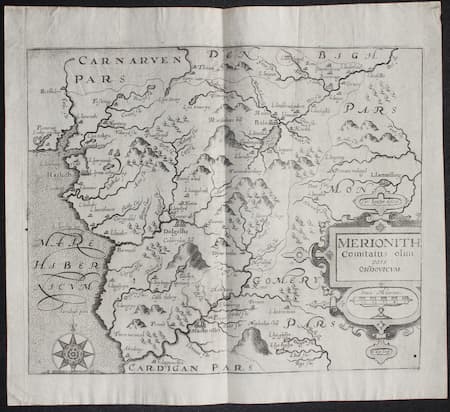
Merionethshire. Christopher Saxton / William Kip c.1637

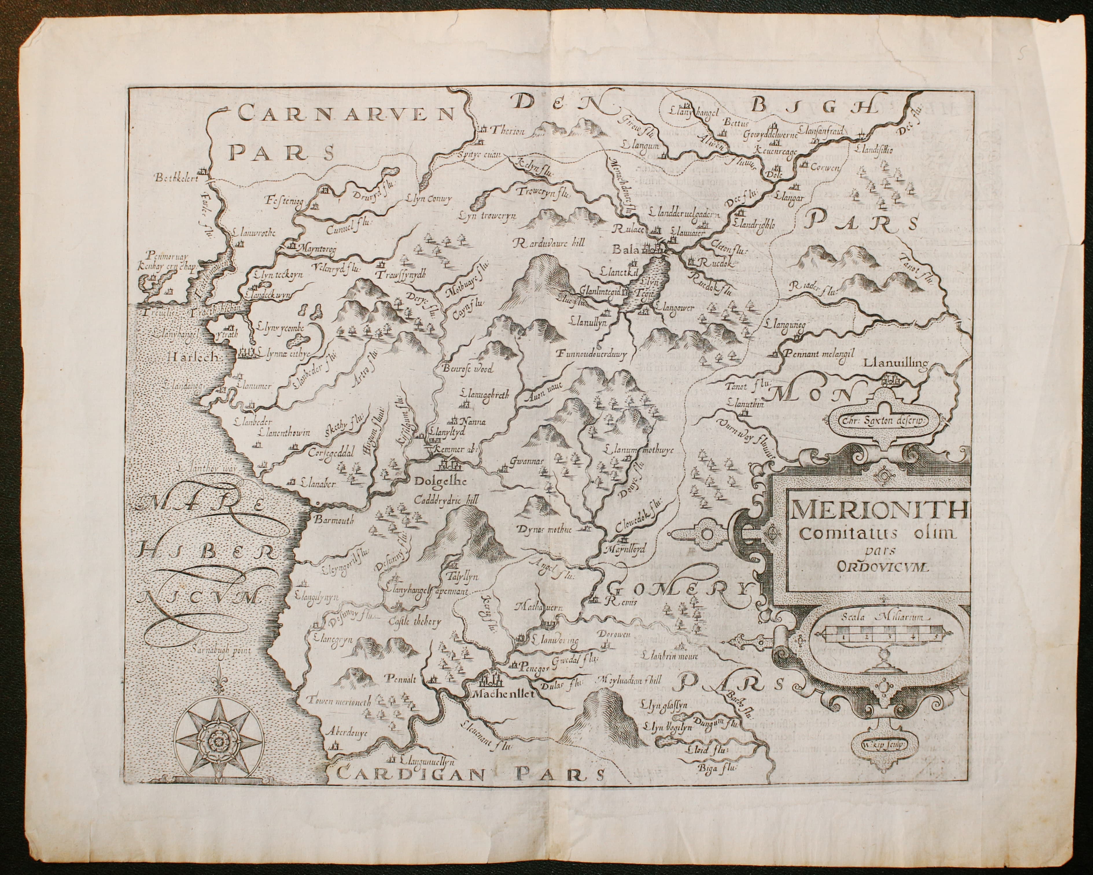
33064 Merionethshire, Christopher Saxton / William Kip, c.1637. Price: 80.00
MERIONETH COMITATUS OLIM PARS ORDOVICUM
An early map of the county engraved by William Kip after the survey by Christopher Saxton. A decorative cartouche displays the title scale and names of Saxon and Kip. Compass rose. 12 1/2 x 10 1/4 inches. Uncoloured. Two small single worm holes otherwise good condition.
From Camden's Britannia.
Early 17th Century - First Edition
-

Merionethshire. Christopher Saxton / William Kip c.1637
-

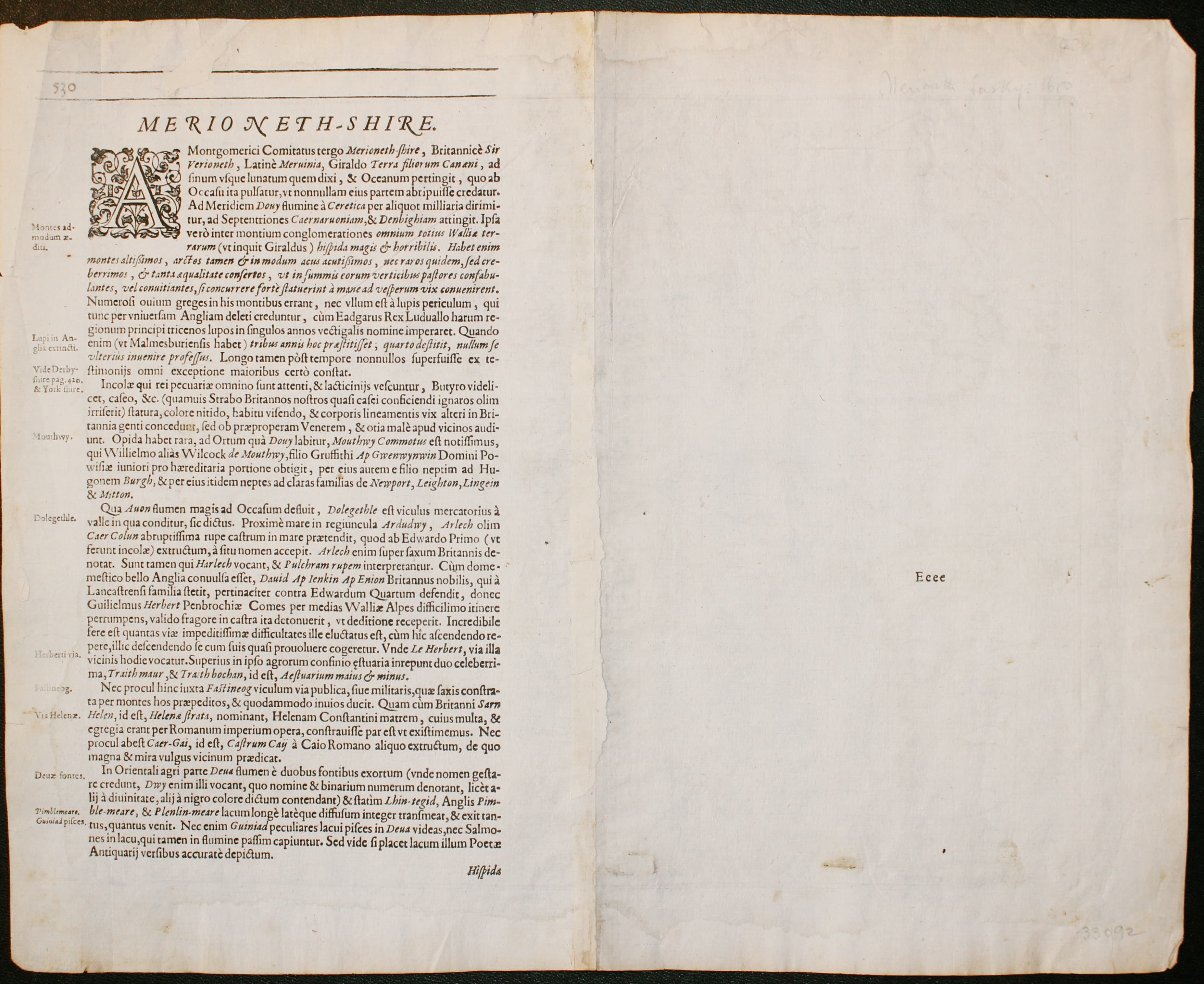
Text on verso Merionethshire. Christopher Saxton / William Kip c.1637
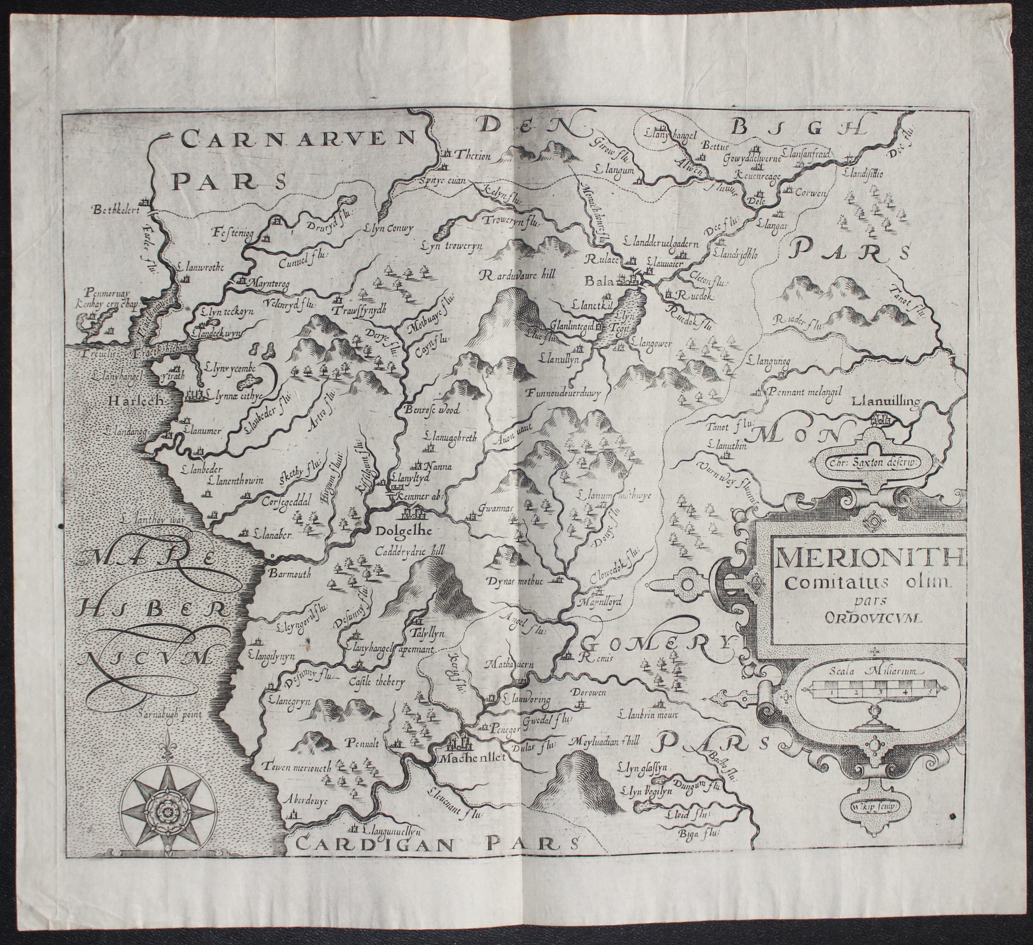
33092 Merionethshire, Christopher Saxton / William Kip, 1607. Price: 125.00
MERIONETH COMITATUS OLIM PARS ORDOVICUM The rare FIRST EDITION of this early map of the county engraved by William Kip after the survey by Christopher Saxton. State I having Latin text on verso. A decorative cartouche displays the title scale and names of Saxon and Kip. Compass rose. 12 1/2 x 10 1/4 inches. Uncoloured. Tear in the top blank margin repaired. Few nicks on edges but otherwise a nice specimen. From Camden's Britannia.
From Camden's Britannia
This is the earliest map to show the county of Merionethshire on its own as Christopher Saxton grouped a number of Welsh counties together for his atlas.
18th Century
-

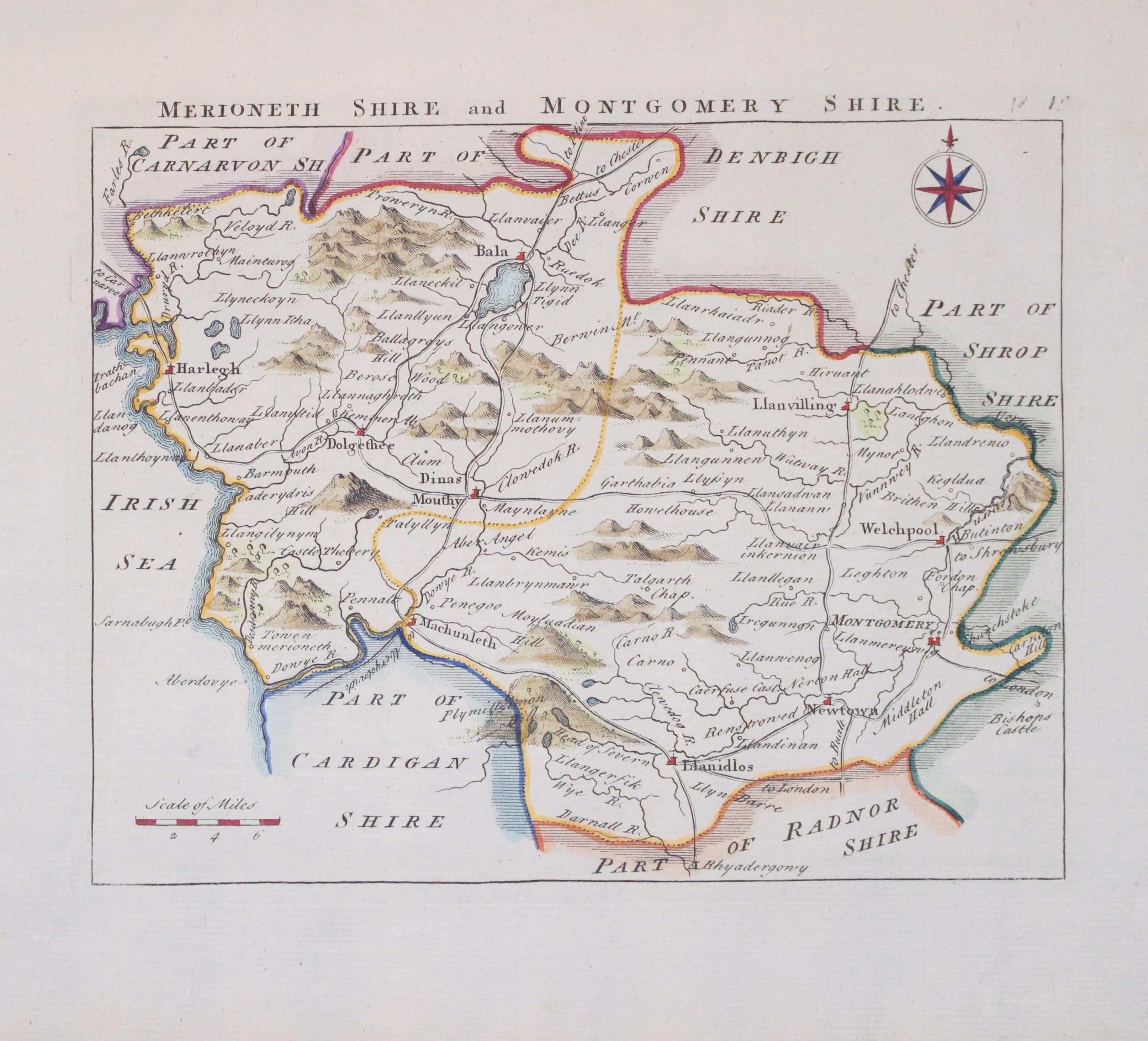
Map of Merionethshire and Montgomeryshire by John Rocque 1769

33160 Merionehshire and Montgomeryshire, John Rocque, 1769. Price: 37.00
MERIONETHSHIRE AND MONTGOMERYSHIRE
An engraved map of the two Welsh counties. Compass rose and scale. 7 1/2 x 6 inches. Nicely hand coloured. Very good condition. From England Displayed
18th Century County and Road Map
-
Merionethshire, John Owen and Emanuel Bowen c.1730


33306 Merionethshire, John Owen and Emanuel Bowen, c.1730. Price: 23.00
MERIONETHSHIRE An engraved county map with title panel, list of hundreds and description beneath. The map is surmounted by a baroque cartouche titled The Road from London to Montgomery. Strip road map on verso from Campden in Gloucestershire to beyond Worcester embellished with two coats of arms and engraved notes. 4 x 7 1/4 inches. Uncoloured. Small bottom blank margin. Good clean condition.
From: Britannia Depicta
First Edition
-

Merionethshire by Saxon / Kip. First edition 1607
-

Latin text verso Merionethshire by Saxon / Kip. First edition 1607
33665 Merionethshire, Christopher Saxton / William Kip, 1607. Price: 140.00
MERIONETH COMITATUS OLIM PARS ORDOVICUM
The rare FIRST EDITION of this early map of the county engraved by William Kip after the survey by Christopher Saxton. State I having Latin text on verso. A decorative cartouche displays the title scale and names of Saxon and Kip. Compass rose. 12 1/2 x 10 1/4 inches. Hand coloured. Good clean condition. Some slight trimming to the text on verso.
From: Camden's Britannia

