Antique Maps of Berkshire
Richard Nicholson of Chester
A World of Antique Maps and Prints
Established in 1961
All the Maps on this page are guaranteed to be genuine early specimens
published in or around the year stated
18th Century - Miniature
-
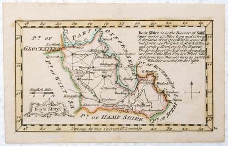
Berkshire, John Gibson, 1759

12769 Berkshire, John Gibson, 1759. Price: 62.00
BERKSHIRE
A miniature engraved map of the county. Uncoloured rococo title cartouche. Description. Compass pointer and scale. 4.5 x 2.5 inches, 110 x 63 mm. Early outline hand colouring. Good condition.
From: New and Accurate Maps of the Counties of England and Wales
Early 19th Century - Miniature
-
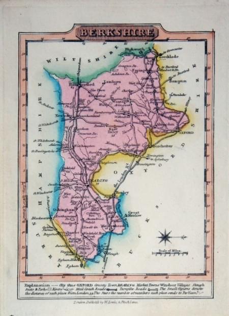
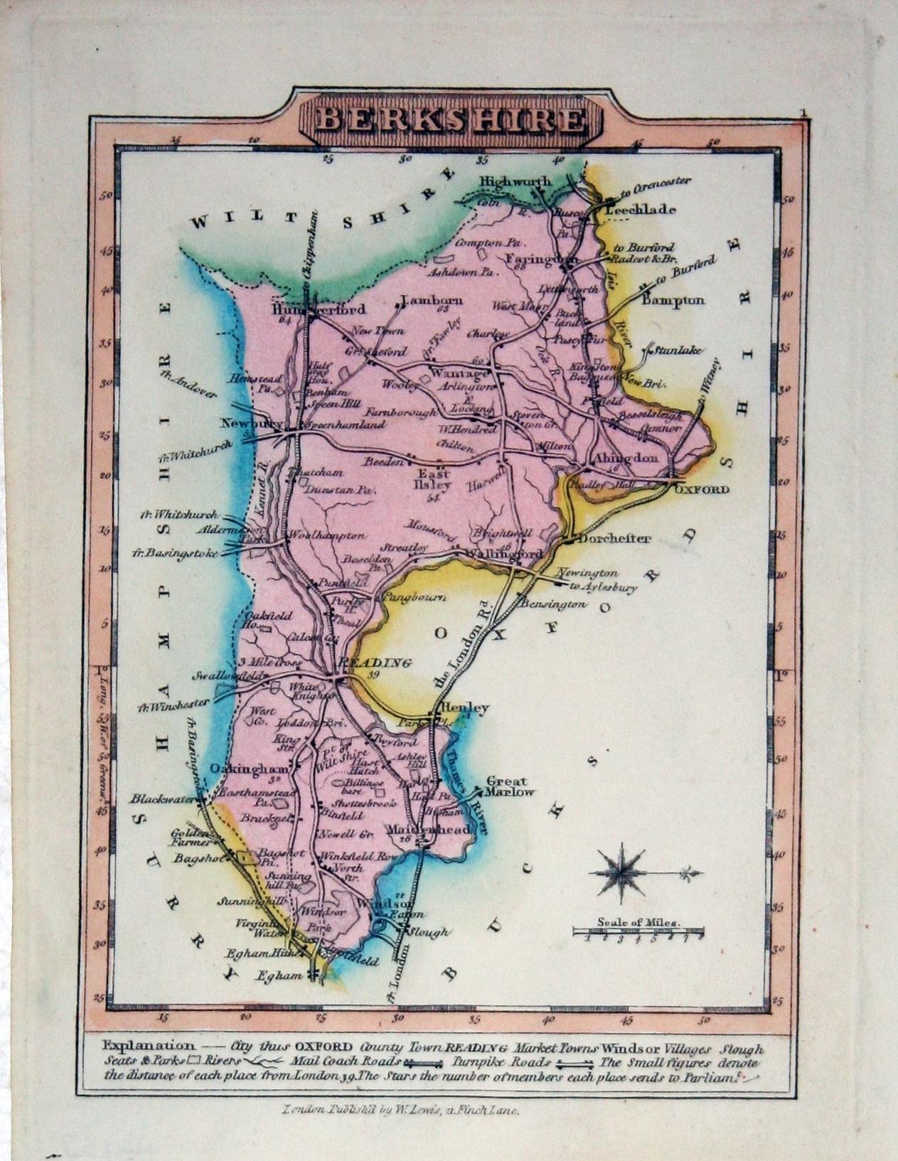
Berkshire, J. Wallis / W. Lewis, 1819
-
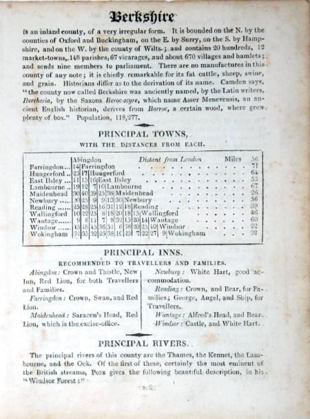
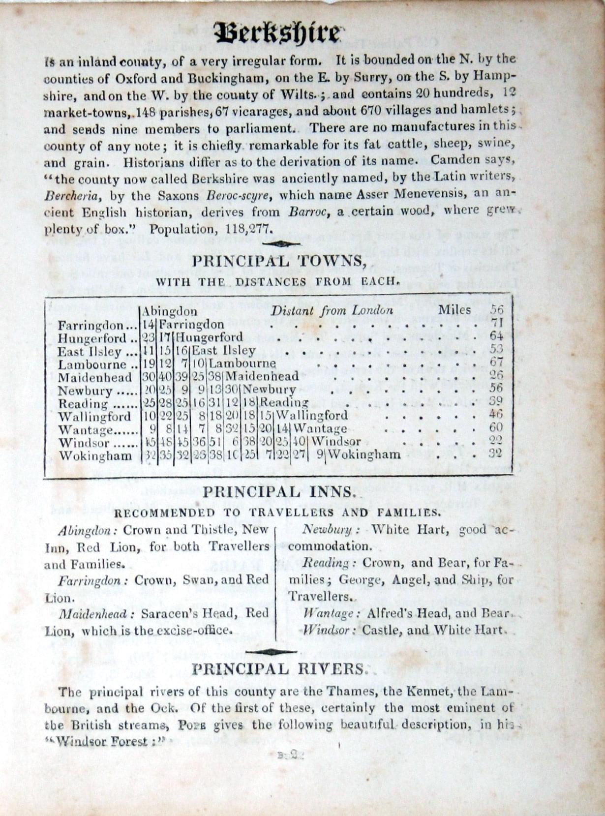
Text for Berkshire map, J. Wallis / W. Lewis, 1819

14437 Berkshire, J. Wallis / W. Lewis, 1819. Price: 32.00
BERKSHIRE
A small engraved county map with short description beneath. 3.75 x 4.75 inches. Original outline and wash colouring. Good condition. With original page of descriptive text giving details of the county, towns, inns, rivers and fairs.
First published by James Wallis this map comes from William Lewis' New Traveller's Guide
17the Century - Fine Early Hand Colouring
-
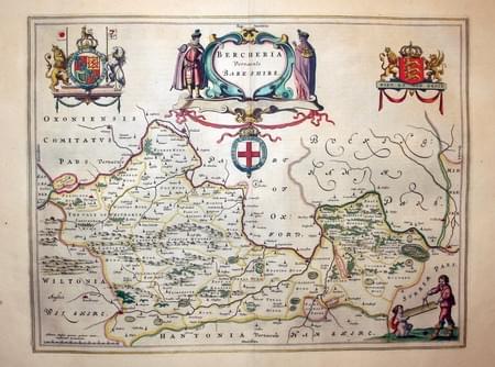
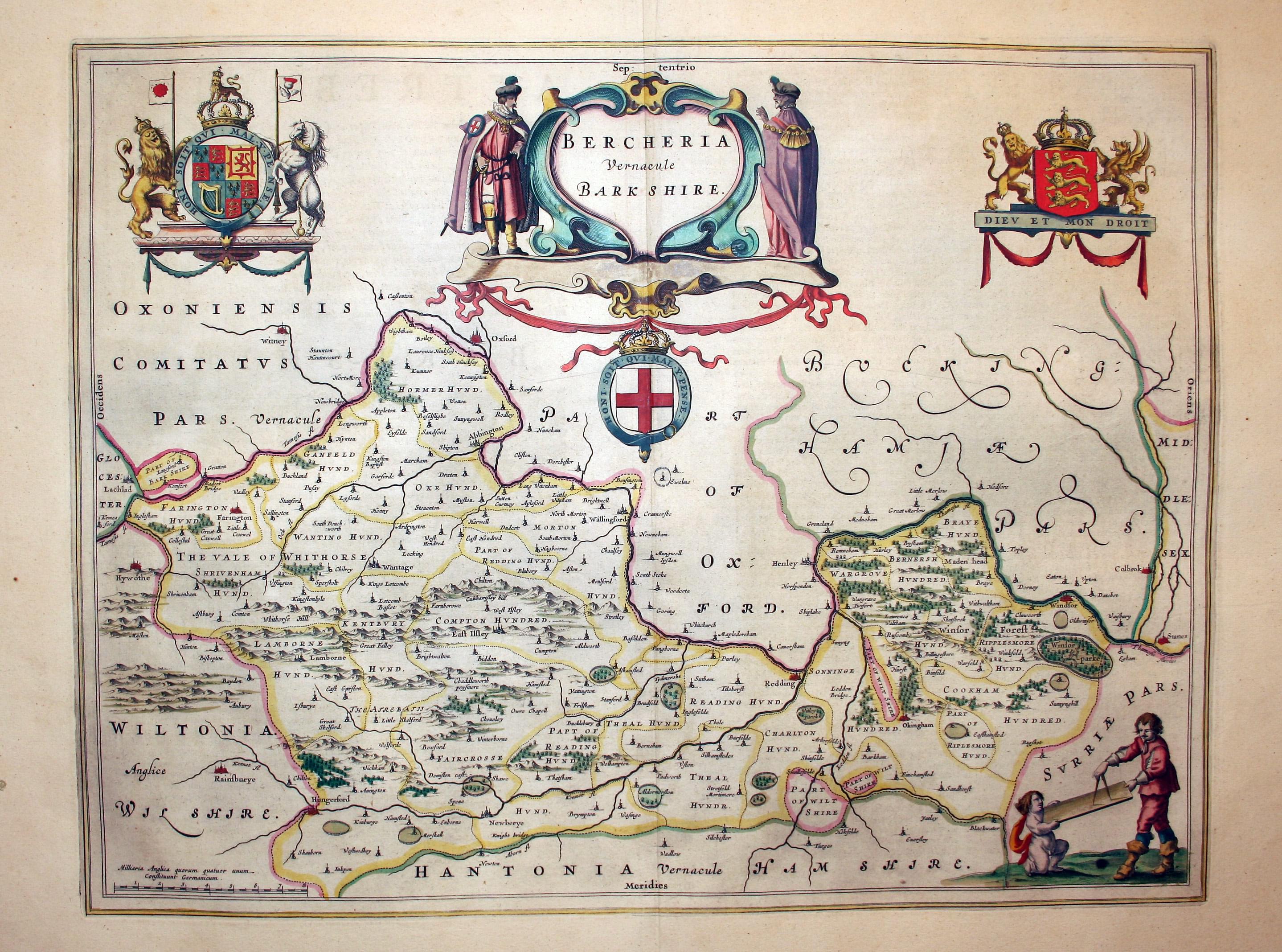
Berkshire, Joan Blaeu, 1662

24492 Berkshire, Joan Blaeu, 1662. Price: 450.00
BERCHERIA VERNACULE BARK SHIRE
A fine 17th century engraved map of the county. Central title cartouche with figures of Knights of the Gartar. Surveyor and putti. Royal Arms and Arms of England. 19 x 1 5 inches, 500 x 382 mm. Spanish text on verso. Early hand colouring. Fine condition.
18th Century
-
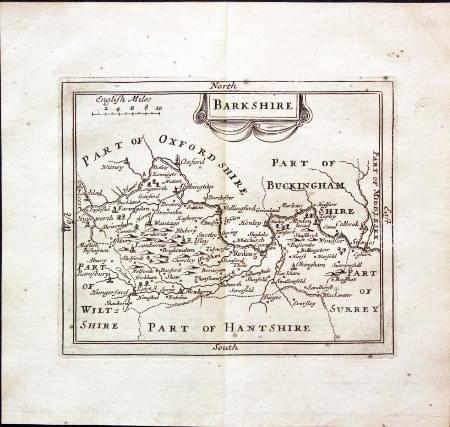
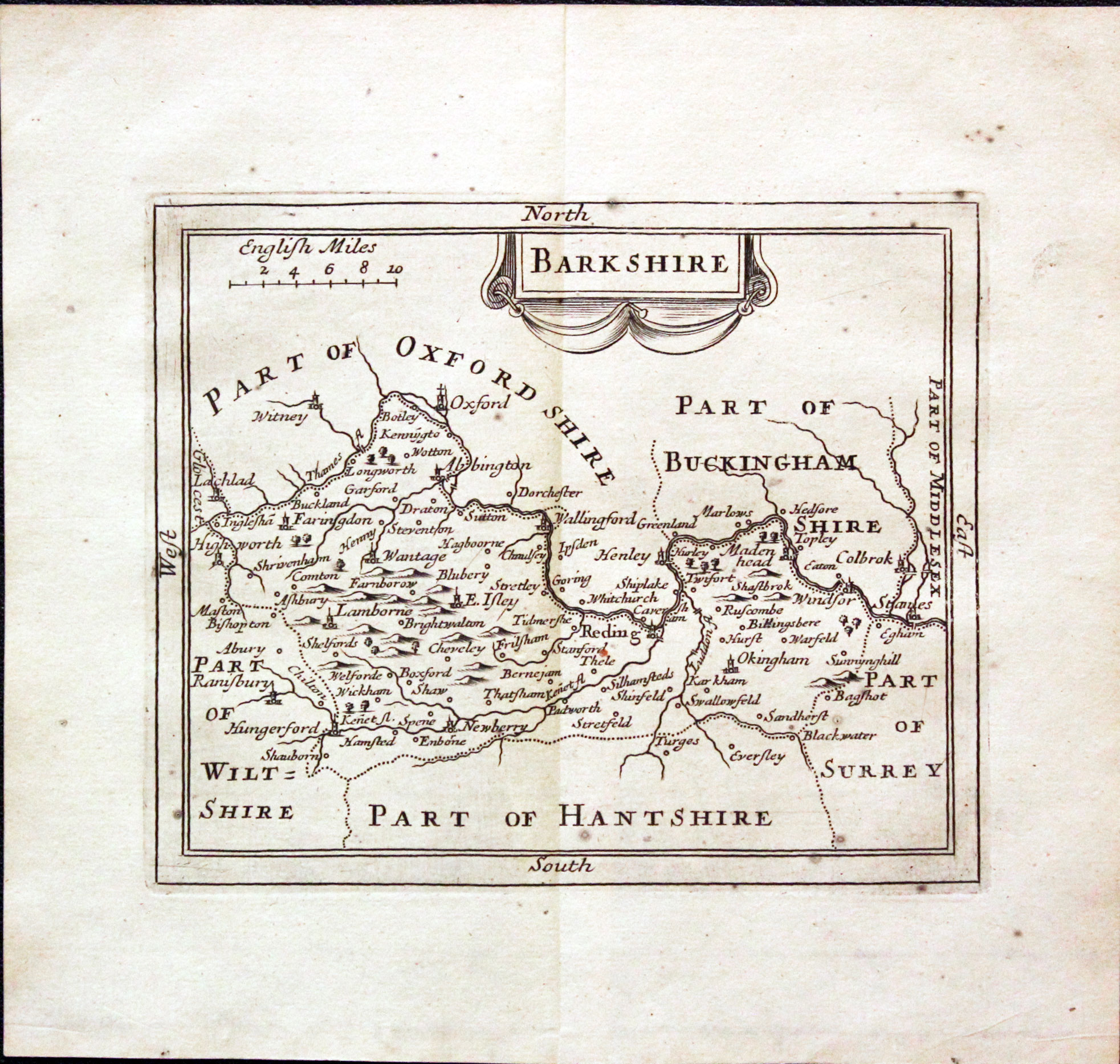
Berkshire, John Seller, 1701
30432 Berkshire, John Seller, 1701. Price: 39.00
BARKSHIRE
A small engraved map of the county embellished with a decorative title cartouche. 5 x 4 inches. Uncoloured. Some small light grey spots which show more on the verso otherwise good condition with wide blank margins.
From: Camden's Britannia Abridg'd.
19th Century
-
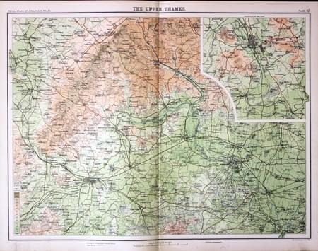
The Upper Thames, John Bartholomew, c.1898

30823 The Upper Thames, John Bartholomew, c.1898. Price: 24.00
THE UPPER THAMES
A colour printed map showing parts of Reading and Windsor with surrounding area. Inset map of Oxford and environs. Scale of 4 miles to the inch. Shows the railways. 16 1/2 x 12 1/2 inches. Good clean condition.
From: The Royal Atlas
18th Century - Market and Fair Days
-
Map of Cornwall by Thomas Letts 1884

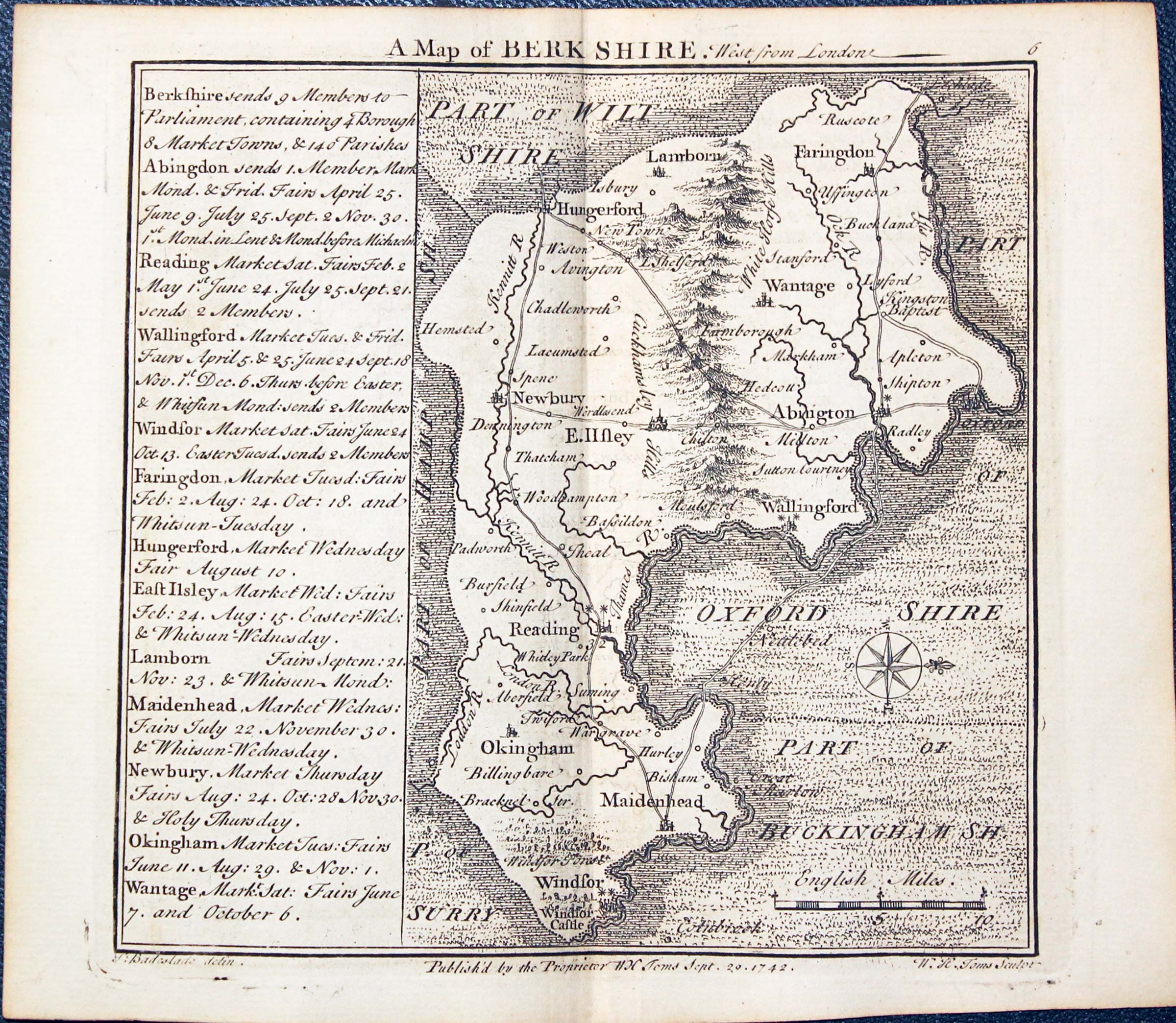
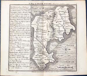
31083 Berkshire, Thomas Badeslade and William Henry Toms, 1742. Price: 45.00
BERKSHIRE
A delightful small engraved map of the county with scale and compass rose. To the left of the map is a panel providing information on Members of Parliament and listing the major towns with the Market and Fair Days. 5 3/4 x 5 1/2 inches. Uncoloured. Publisher’s imprint beneath dated 1742 with the names of Thomas Badeslade the surveyor and W. H. Toms the engraver, Very nice good clean condition.
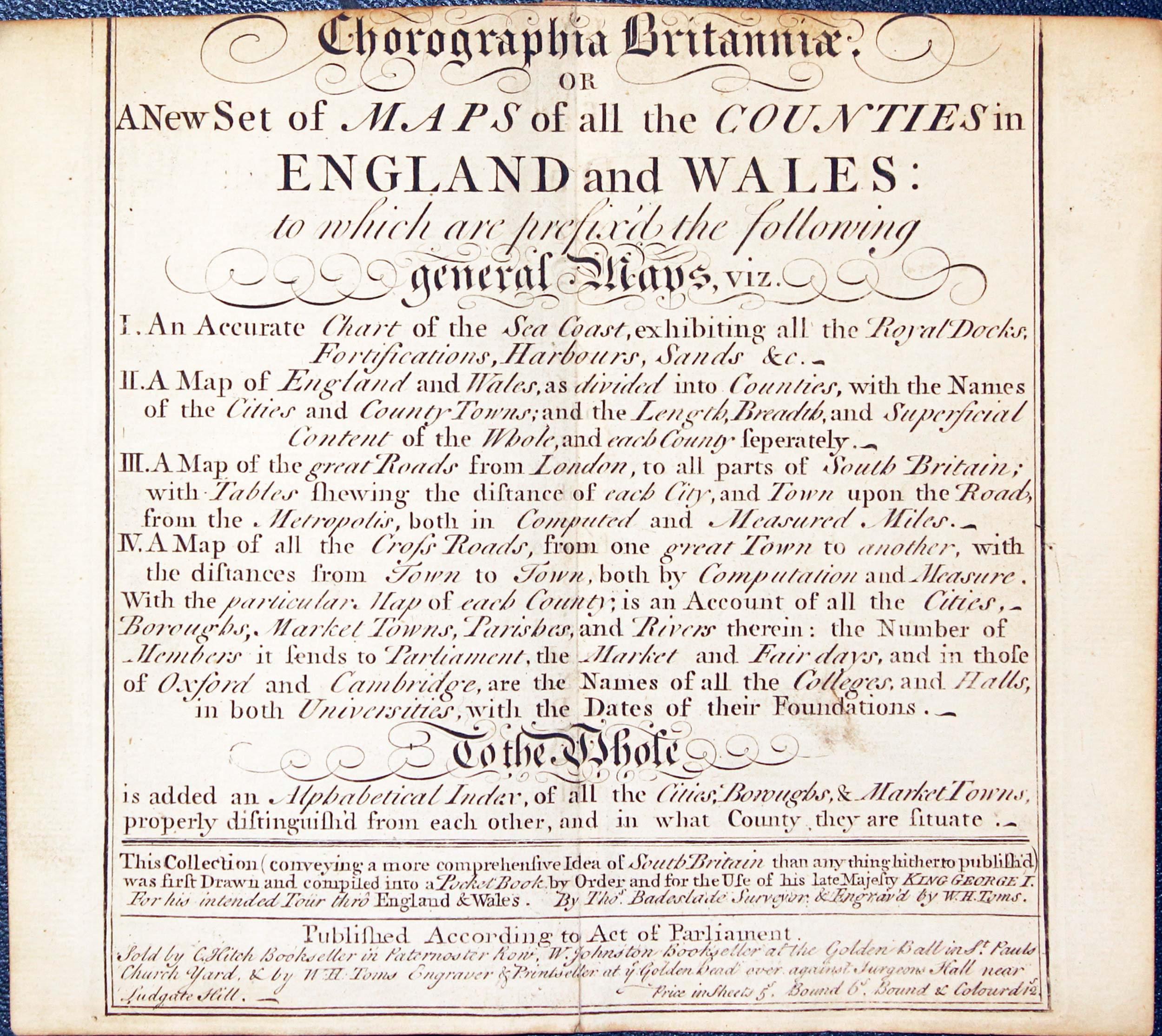
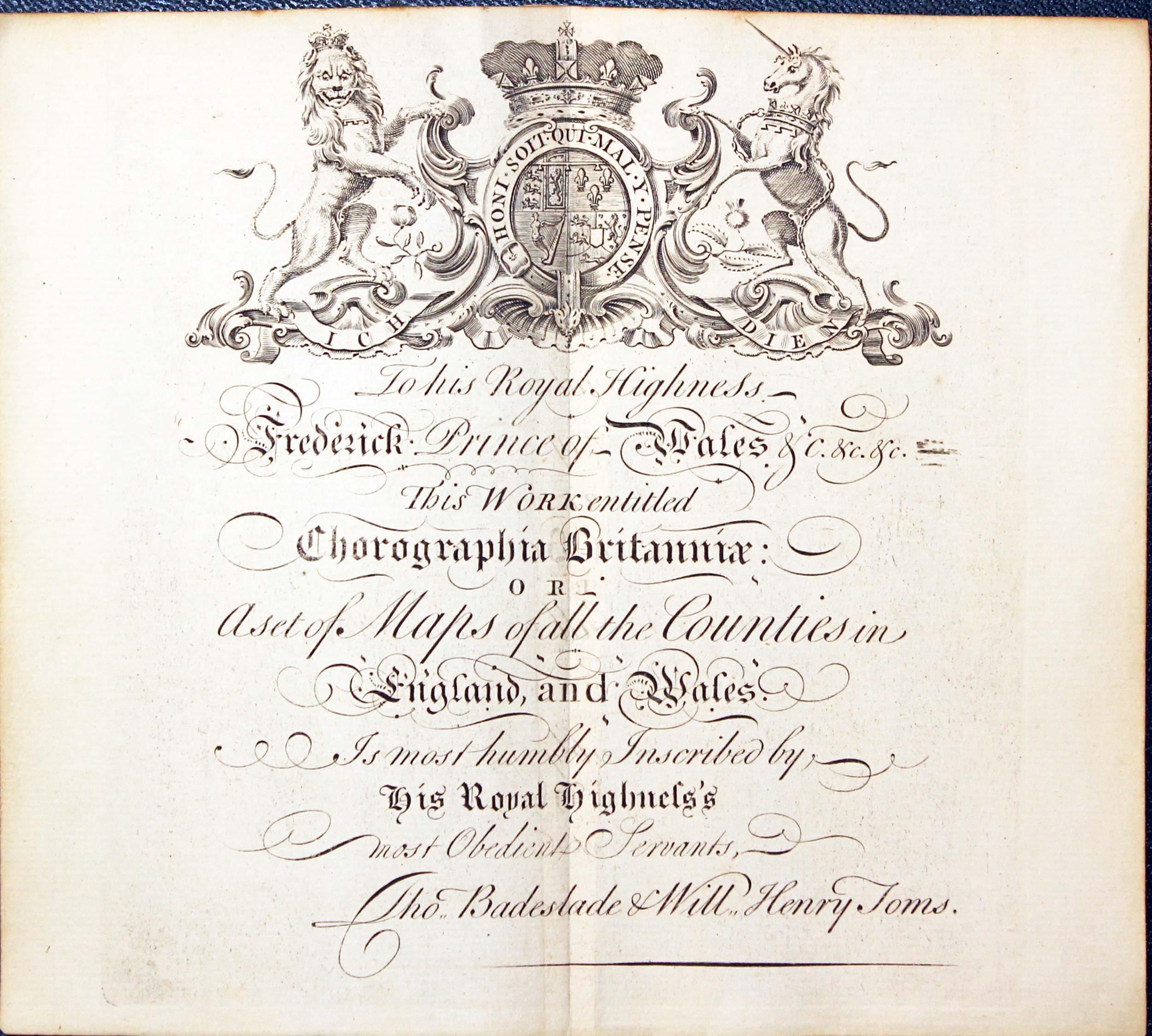
From: Chorographia Britanniae
Provenance: In 1925 the atlas was owned by A. P. Hamilton
-

Chorographia Britanniae 1742
-
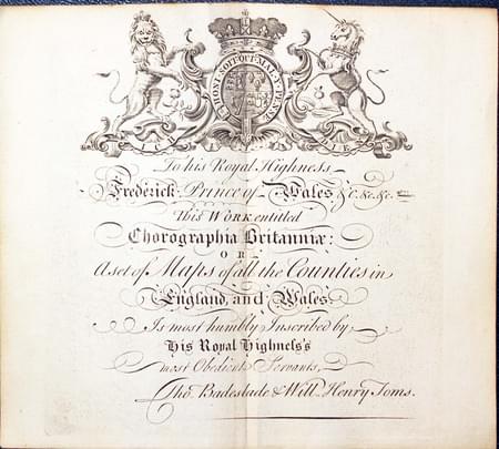
Chorographia Britanniae 1742 Dedication
For the Collector
-
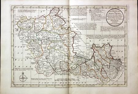
Berkshire, Carington Bowles, 1785

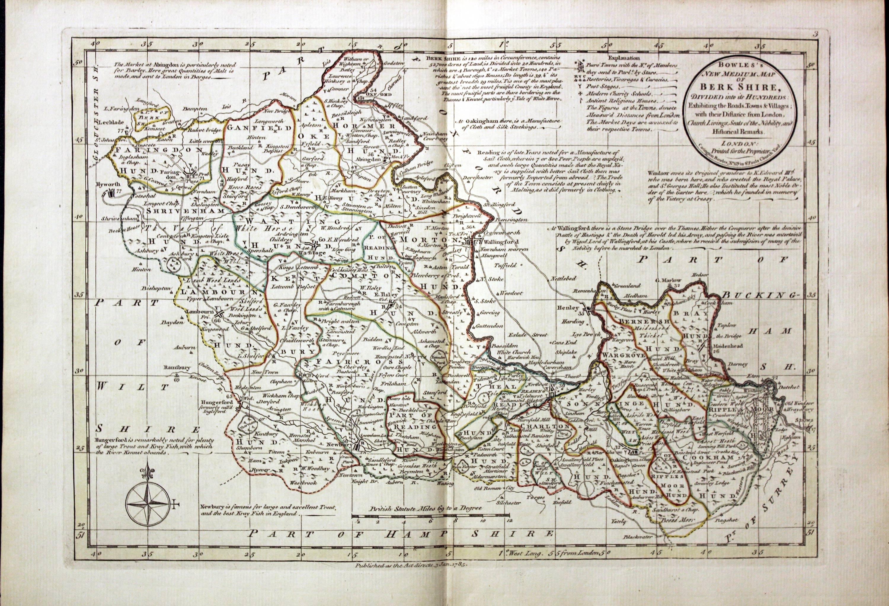
31415 Berkshire, Carington Bowles, 1785. Price: 120.00
BOWLES’S NEW MEDIUM MAP OF BERKSHIRE DIVIDED INTO ITS HUNDREDS..
A good detailed late 18th century map of the county. The title appears within a circular panel bearing the imprint of Carington Bowles No. 69 in St. Paul’s Church Yard. Beneath the map is a further imprint Published as the Act directs, 3 Jan. 1785. Around the map are interesting engraved notes pertaining to the county. 12 1/2 x 8 3/4 inches. Explanation and scale. Original outline hand colouring. Superb clean condition having been taken straight from the atlas and not sold previously as a single map.
From Bowles’s New Medium English Atlas. The maps in this atlas are based on the maps by Emanuel and Thomas Bowen in their Atlas Anglicanus. The title cartouche has been changed as well as the addition of the distance in miles from London shown by some town names.
PROVENANCE
-

Titlepage
-
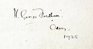
Signature
-
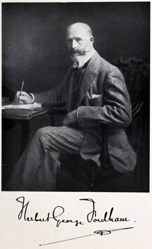
Sir H. George Fordham
This map comes from an atlas which was once in the library of the renowned carto-bibliographer Sir Herbert George Fordham (1854 - 1929). He was the first to attempt the systematic cataloguing of the maps of an English county. Born on 9th May 1854 at Odsey, a manor on the borders of Hertfordshire and Cambridgeshire sold to the Fordham family in 1793 by the 5th Duke of Devonshire. The flyleaf of the atlas was signed H.George Fordham, Odsey, 1925. Further reading: Map Collectors' Circle No. 51: Sir H.George Fordham Carto-bibliographer by J. M. Henshall.
The atlas was later in the library of Professor Eva Germaine Remington Taylor (1879 - 1966) Distinguished geographer. Presented after her death to Birbeck College, University of London. Sold by their order at Sotheby's, London and purchased by Richard Nicholson
19th Century - Early Hand Colouring
-
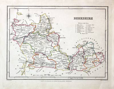
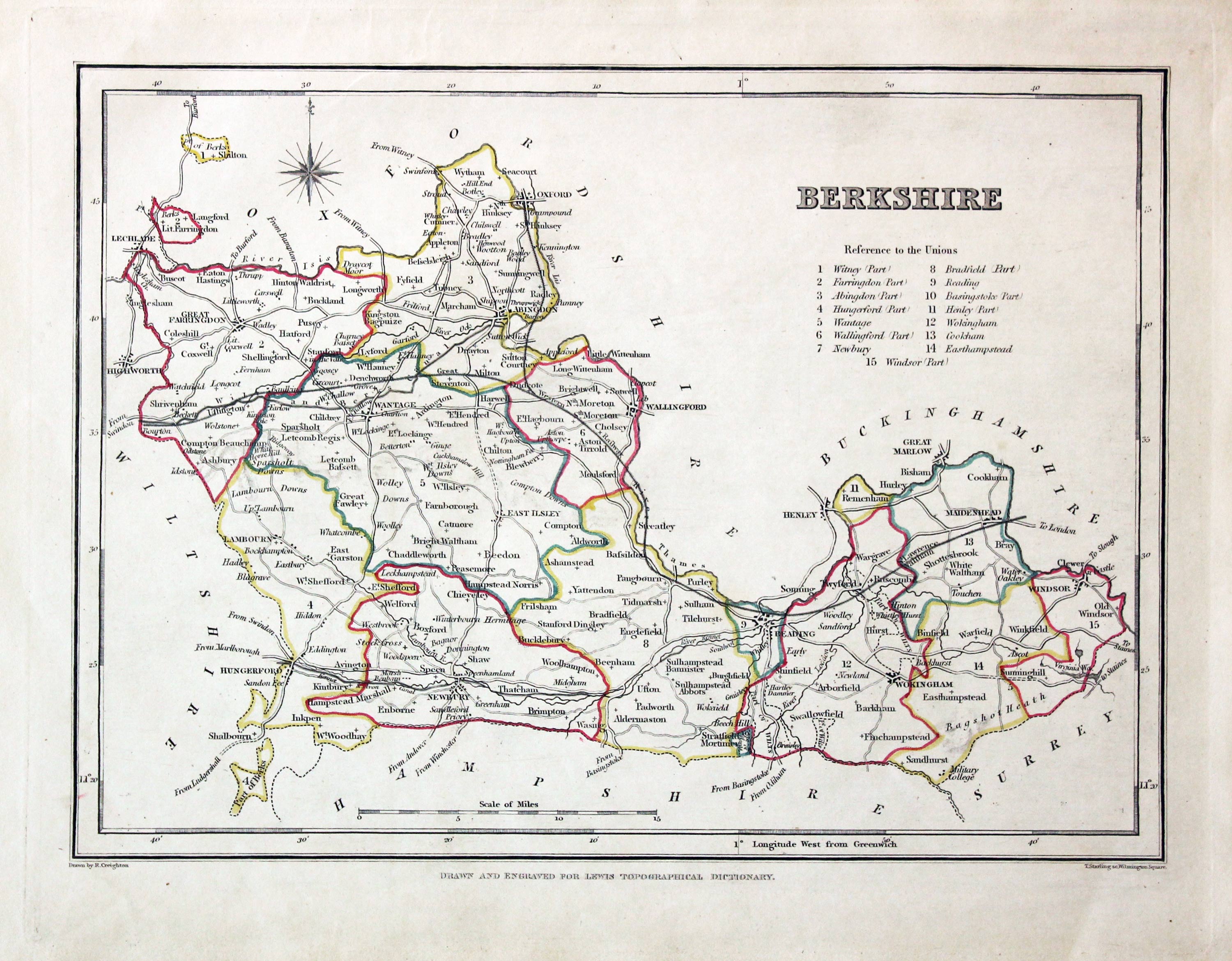
Berkshire, Samuel Lewis 1845

31573 Berkshire, Samuel Lewis, 1845. Price: 28.00
BERKSHIRE
A map drawn by R. Creighton and engraved by J. & C. Walker. 9 x 6 3/4 inches. Original outline hand colouring. Good clean condition. Straight from the atlas and not sold as a single map before now.
From: Lewis' Atlas to the Topographical Dictionaries of England and Wales
18th Century
-
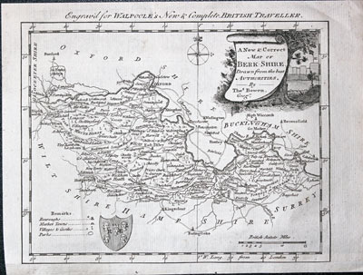
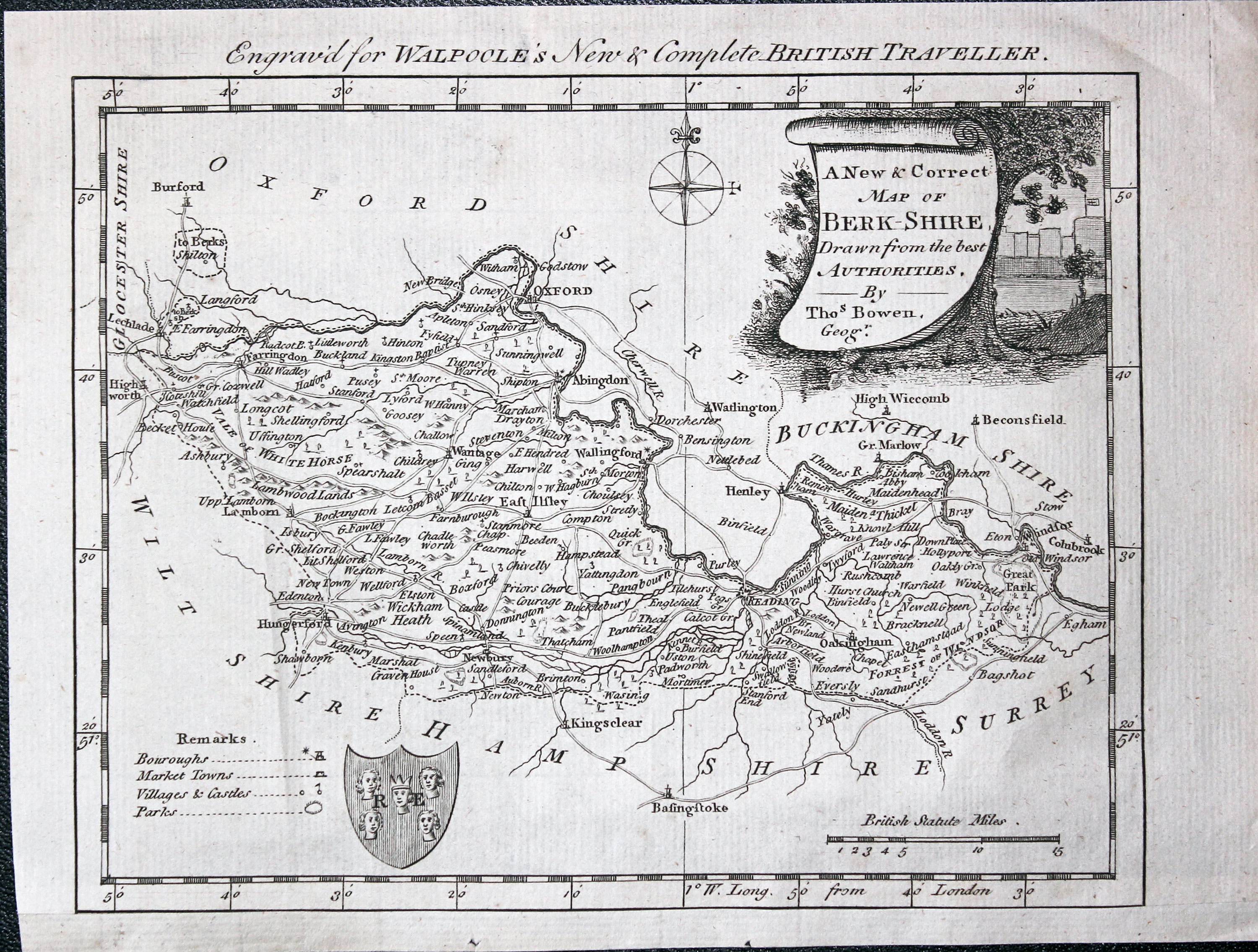
Berkshire, George Augustus Walpole, c.1784

32230 Berkshire, Bowen/Walpoole c.1784. Price: 24.00
A NEW & CORRECT MAP OF BERK SHIRE, DRAWN FROM THE BEST AUTHORITIES BY THOMAS BOWEN, GEOGR
A map of the county engraved by Thomas Bowen. Embellished with a pictorial title cartouche, compass rose, coat of arms and remarks. 8 x 6 1/4 inches. Uncoloured. Small light crease on the left of the map and another in the blank margin. This map comes from George Augustus Walpoole’s British Traveller published by Alexander Hogg. It has been re-margined on the bottom as it appears in the atlas abutting Somerset with no border between the two. Uncoloured.
From: Walpole’s British Traveller
Early 17th Century - Miniature
-
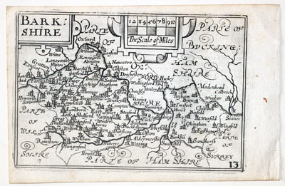
Berkshire by Pieter van den Keere, c.1627

32627 Berkshire, Pieter van den Keere, c.1627. Price: 105.00
BARKSHIRE
A early engraved miniature map of the county. Embellished with decorative cartouches which displays the title and scale. Numbered 13. 4 3/4 x 3 1/4 inches. A good clean uncoloured and undamaged specimen Printed not quite square to the paper which is common. There is the final part of a description of Wiltshire on verso but with the map are two original additional pages giving a description of Berkshire on four side. Straight from the atlas and not previously sold as a single map. The title page of the atlas is dated 1627
From England Wales Scotland and Ireland Described.
19th Century - Early Hand Colouring
-
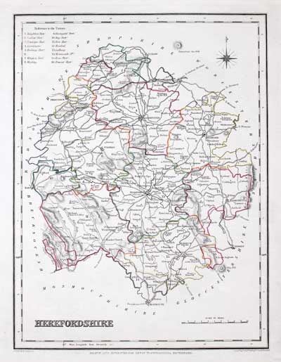
Map of Berkshire by Samuel Lewis 1848

32912 Berkshire, Samuel Lewis, 1848. Price: 29.00
BERKSHIRE
A map drawn by R. Creighton and engraved by T. Starling. 9 x 6 3/4 inches. Original outline hand colouring. Good clean condition. Straight from the atlas and not sold as a single map before now.
From: Lewis' Atlas to the Topographical Dictionaries of England and Wales
19th Century
-
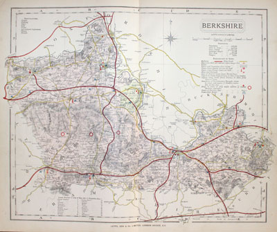
Map of Berkshire by Thomas Letts 1884

32956 Berkshire Thomas Letts, 1884. Price: 25.00
BERKSHIRE
A detailed chromolithograph map of the county. Explanation plus statistics concerning Population, Area, Inhabited Houses, Poor Rate and Paupers. 15 1/2 x 12 3/4 inches. Original centre fold. Imprint of Letts & Son beneath. Fine clean condition. Straight from the atlas so never previously been sold as a single map.
From: Lett’s Popular County Atlas


