Antique Maps of Northamptonshire
Richard Nicholson of Chester
A World of Antique Maps and Prints
Established in 1961
All the Maps on this page are guaranteed to be genuine early specimens
published in or around the year stated
18th Century - County and Road Map
-
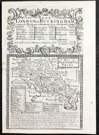
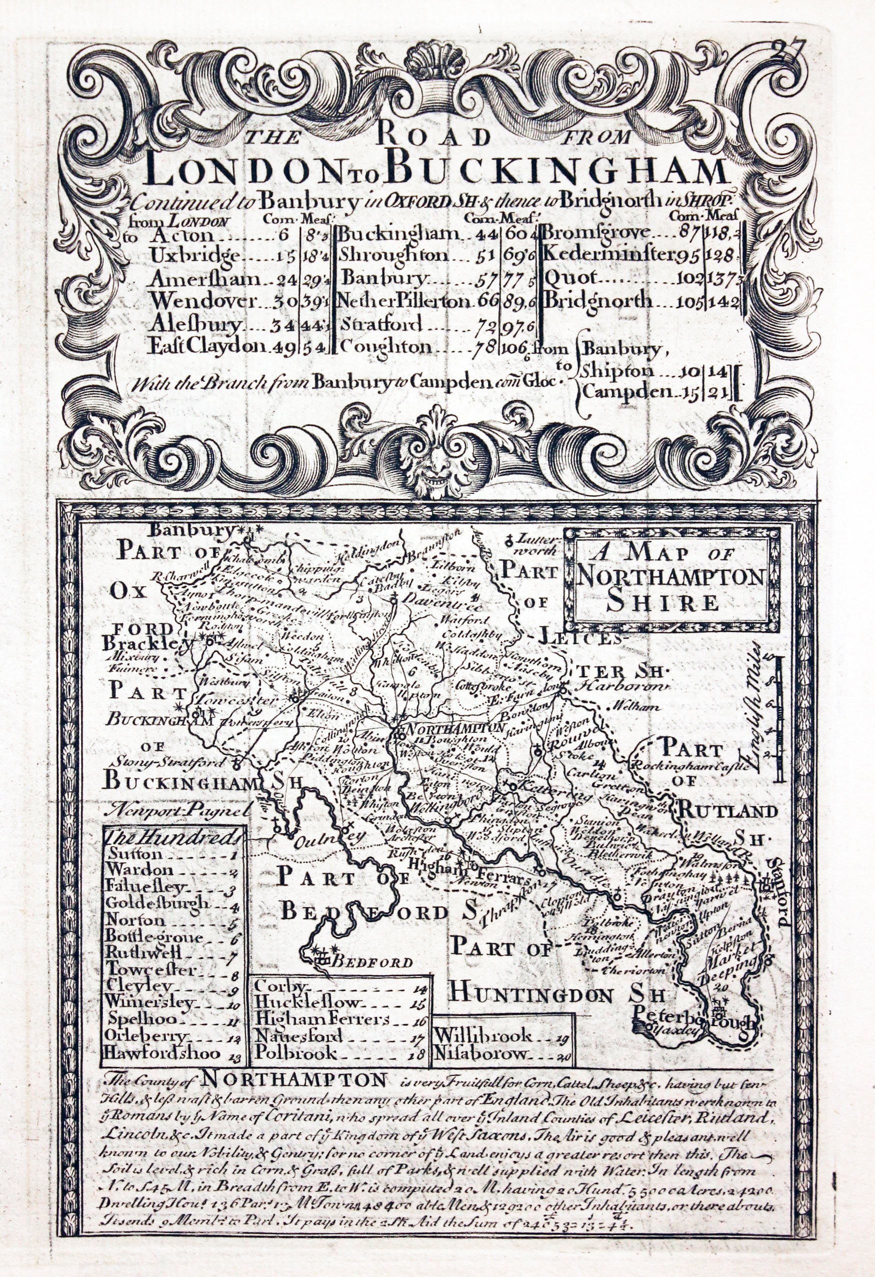
Northamptonshire Owen and Bowen c.1730

7912 Northamptonshire, John Owen / Emanuel Bowen, c.1730. Price: 22.50
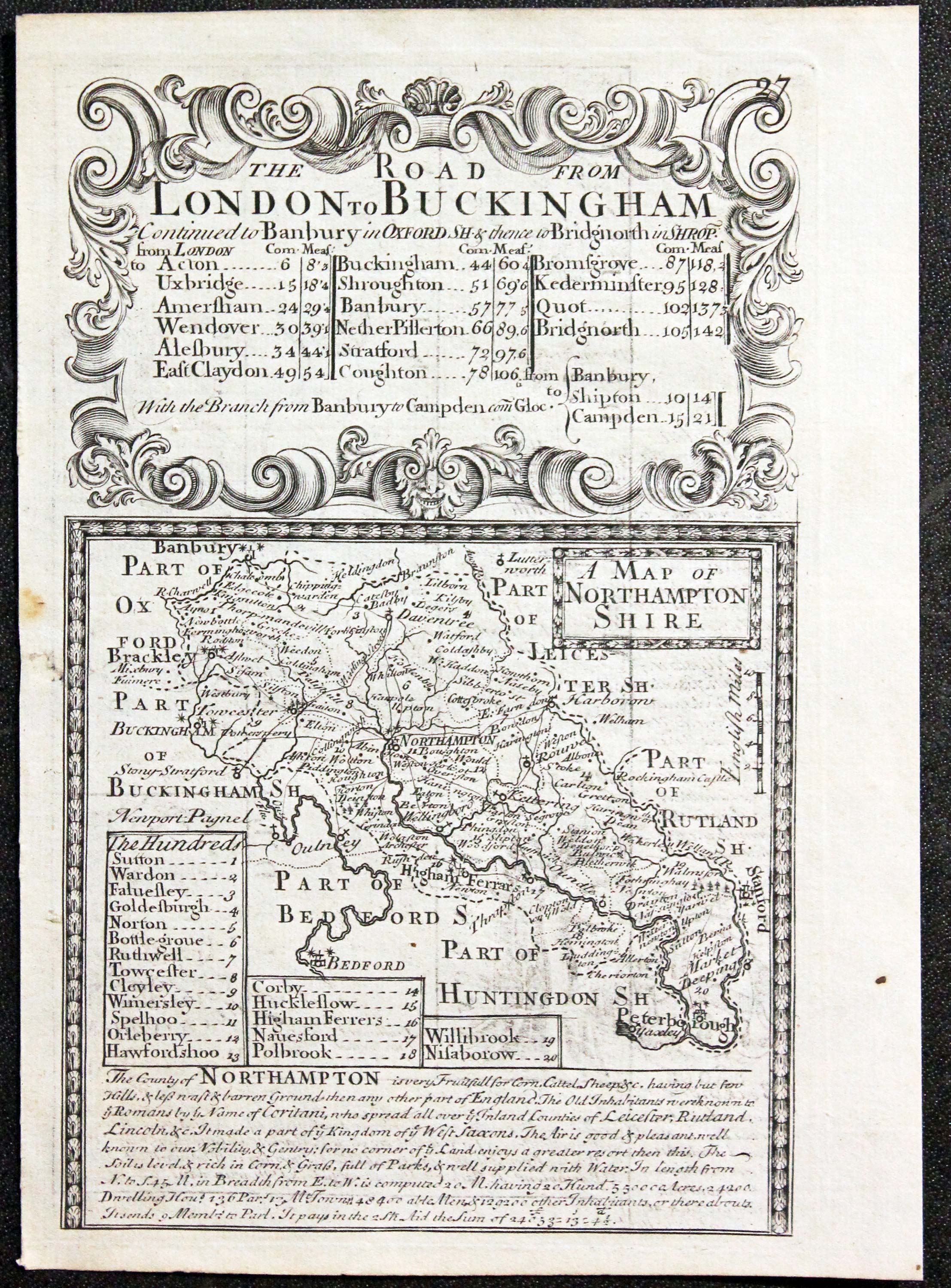
A MAP OF NORTHAMPTONSHIRE
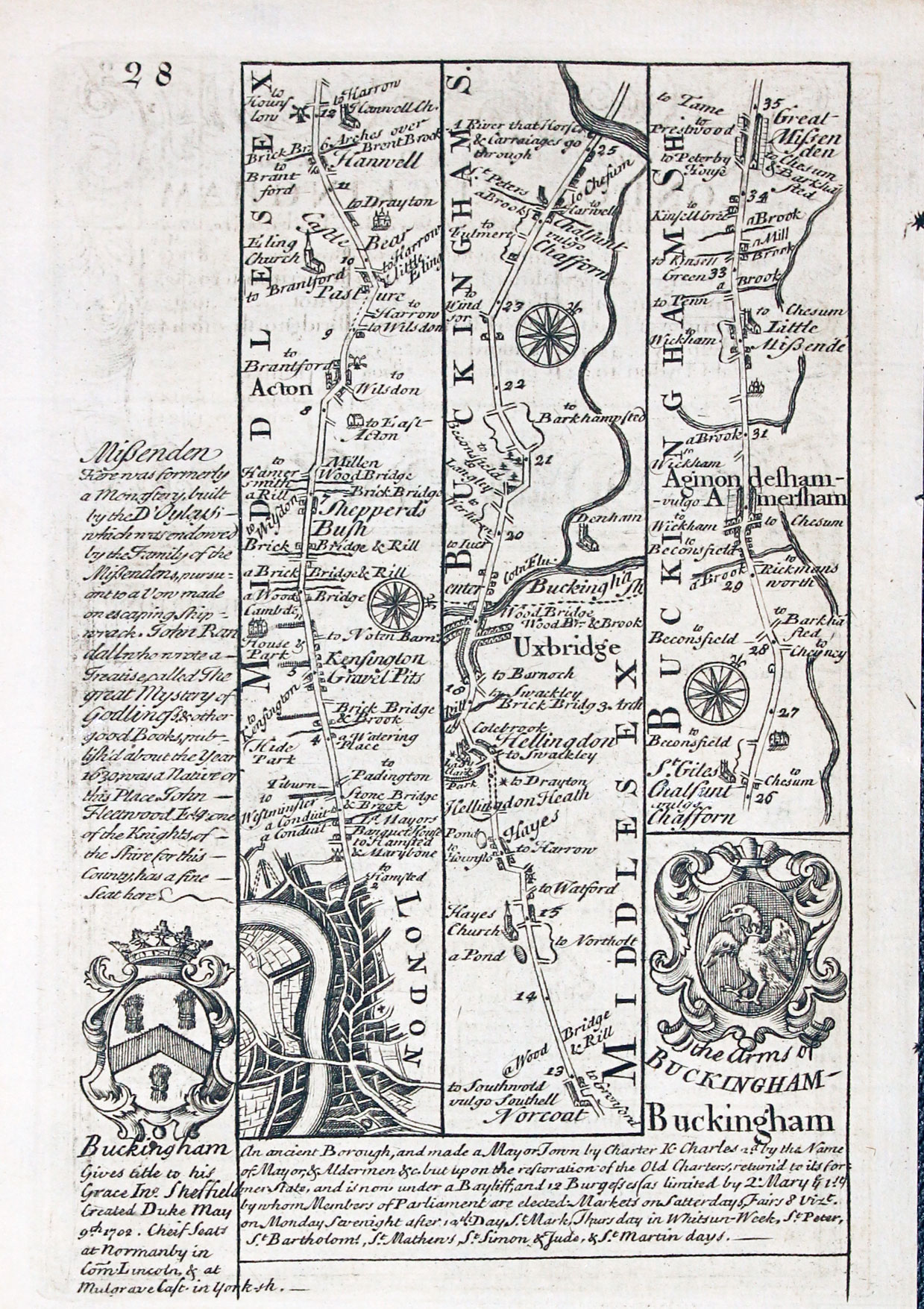
An engraved county map with description and list of hundreds. The map is surmounted by a baroque cartouche titled The Road from London to Buckingham. Road map on verso from London to beyond Amersham with two coats of arms and engraved notes. 4 x 7 inches. Uncoloured. Small hole in the left hand blank margin repaired otherwise good condition.
From: Britannia Depicta
18th Century - Road Map
-

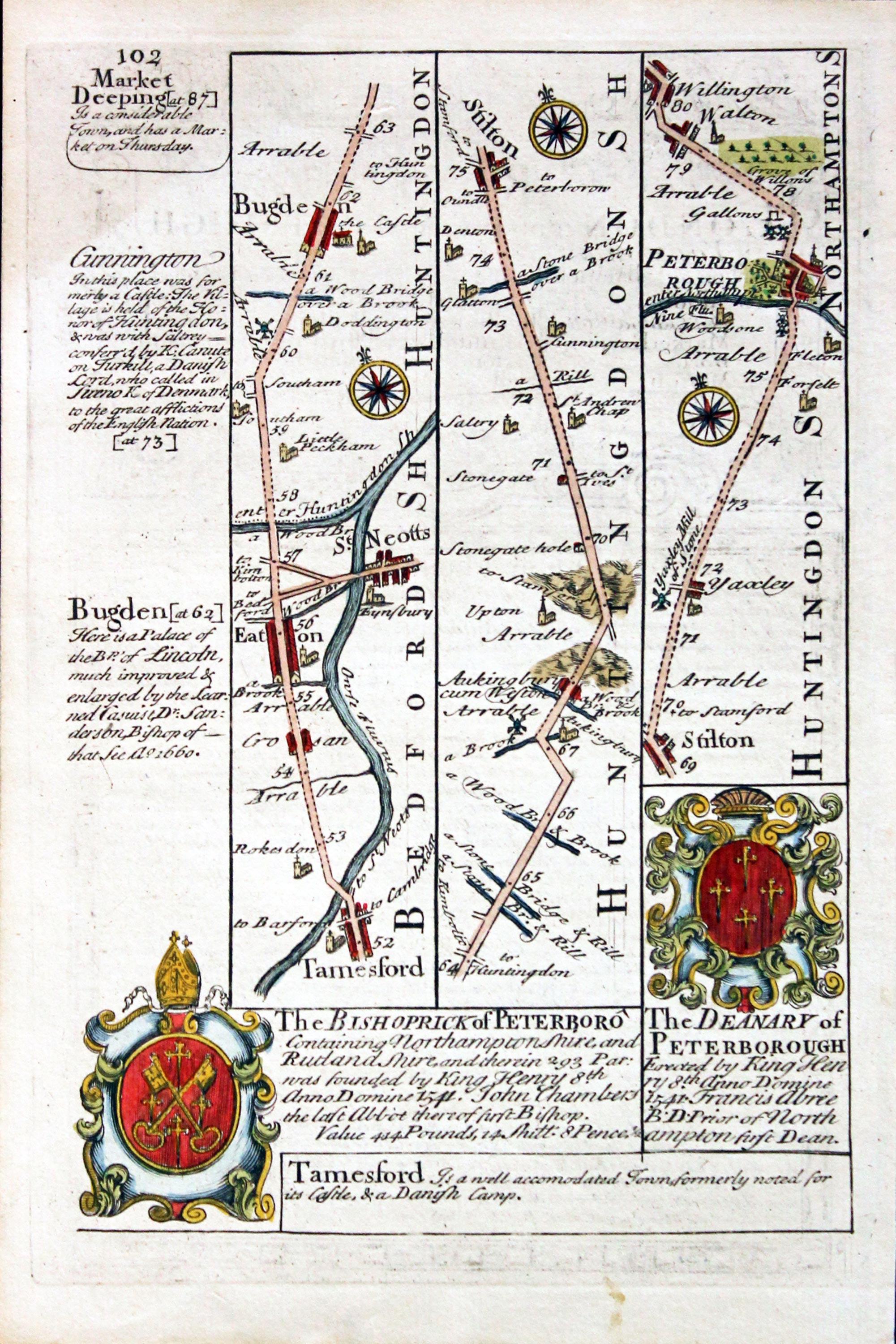
Road Map Tamesford to Peterborough, John Owen & Emanuel Bowen, 1756

11651 Road Map Tamesford to Peterborough, John Owen & Emanuel Bowen, 1756. Price: 24.00
Plate 101/102
Strip road map. On one side the uncoloured route Tamesford, St.Neotts, Bugde, Stilton, Peterborough. Hand coloured. On side 101 part of a description of London with baroque cartouche, uncoloured. 4 1/2 x 7 inches. Good condition.
From: Britannia Depicta
19th Century
-

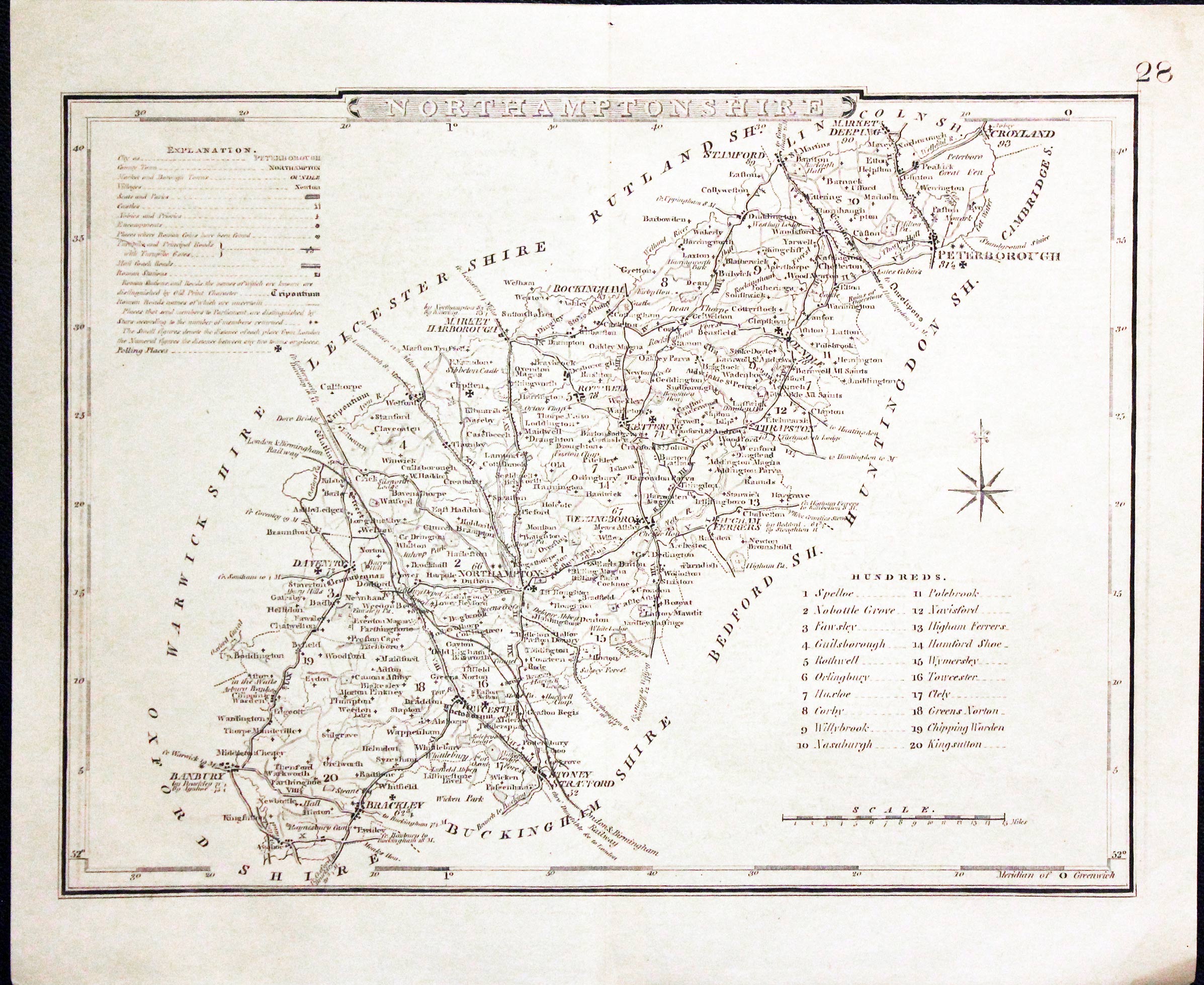
Northamptonshire, Joshua Archer, c.1845

28103 Northamptonshire, Joshua Archer, c.1845. Price: 10.00
NORTHAMPTONSHIRE
An engraved county map divided into hundreds. 8 x 7 inches. Uncoloured. Good condition.
From: Dugdales England and Wales Delineated
19th Century
-

Northamptonshire, Archibald Fullarton, c.1840
28735 Northamptonshire, Archibald Fullarton, c.1840. Price: 18.00
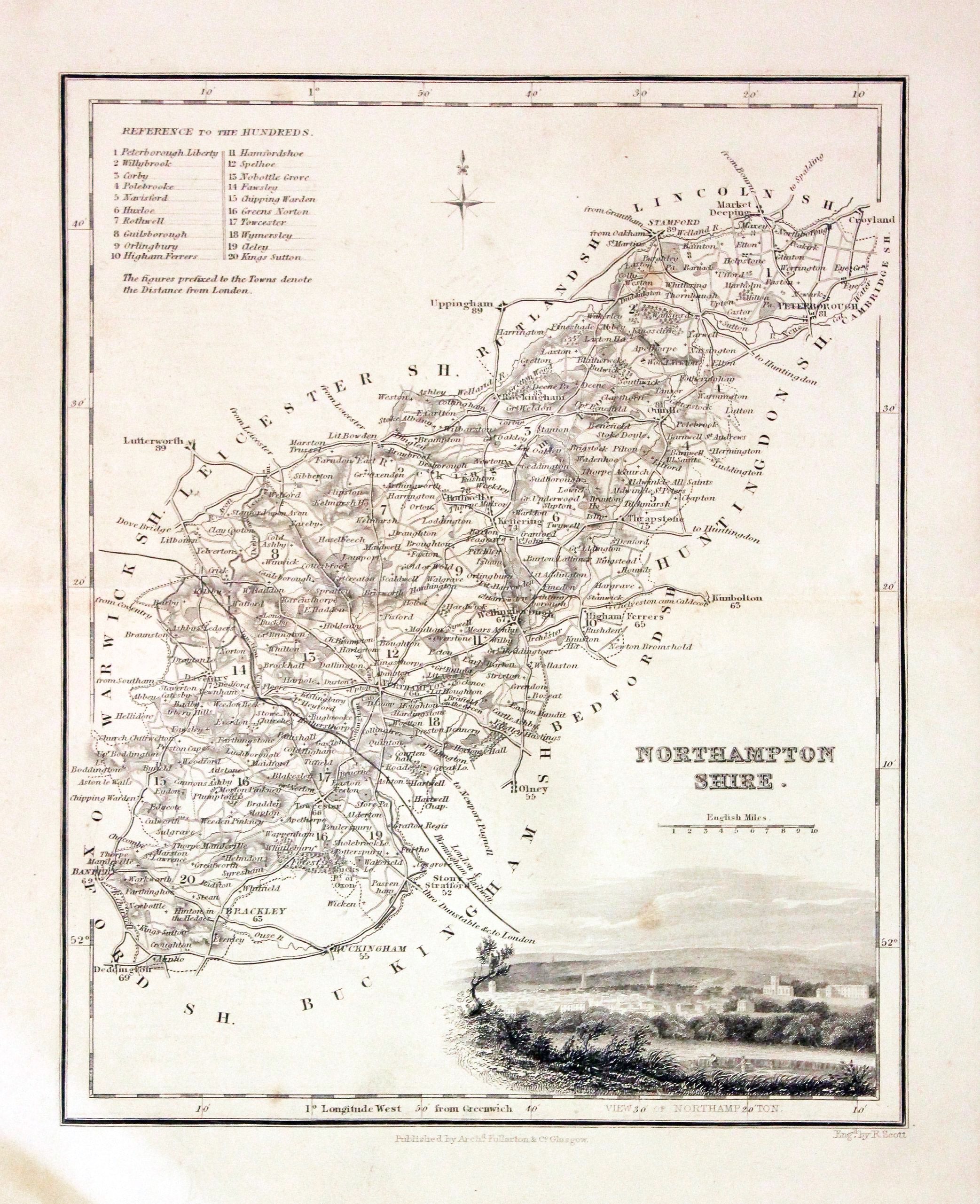
NORTHAMPTONSHIRE
A detailed engraved map of the county embellished with a vignette view of Northampton. Title, scale, list of hundreds and compass pointer. 7 1/2 x 9 1/4 inches. Uncoloured. Lightly toned otherwise good condition.
From: The Parliamentary Gazetteer

19th Century
-

Northamptonshire, J. Cole and G. Roper, c.1842

29673 Northamptonshire, J. Cole and G. Roper, c.1842. Price: 9.50
NORTHAMPTONSHIRE
An engraved county map. Explanation and list of hundreds. 9 x 6 3/4 inches. Uncoloured. The later edition of this map first published in 1810. Good condition.
From: Dugdale’s Curiosities of Great Britain
19th Century - Decorative
-
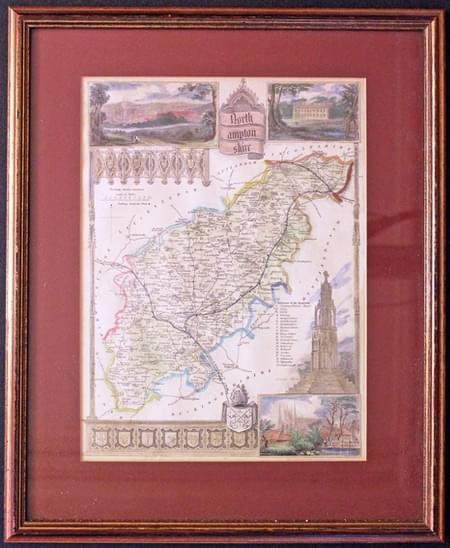
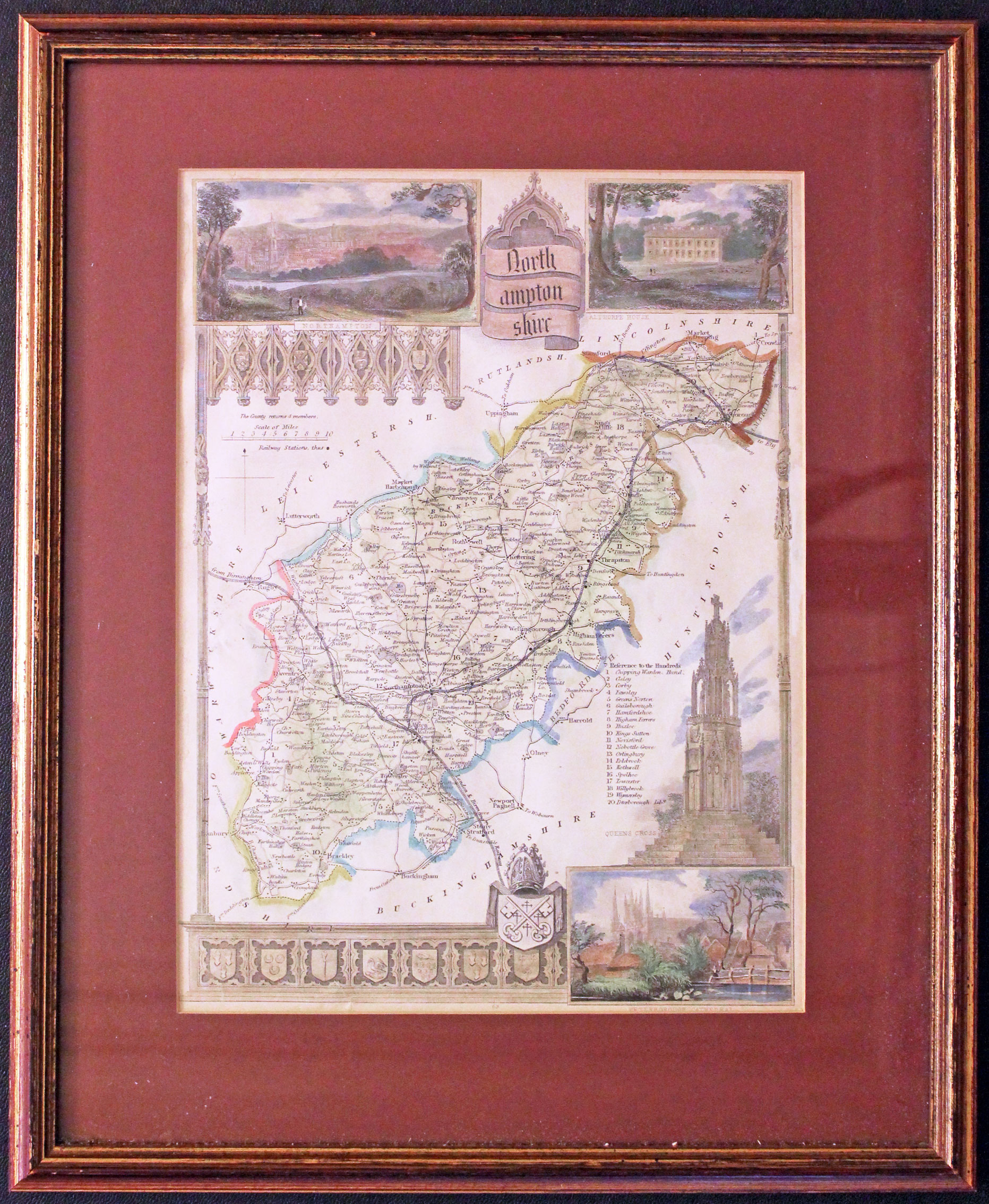
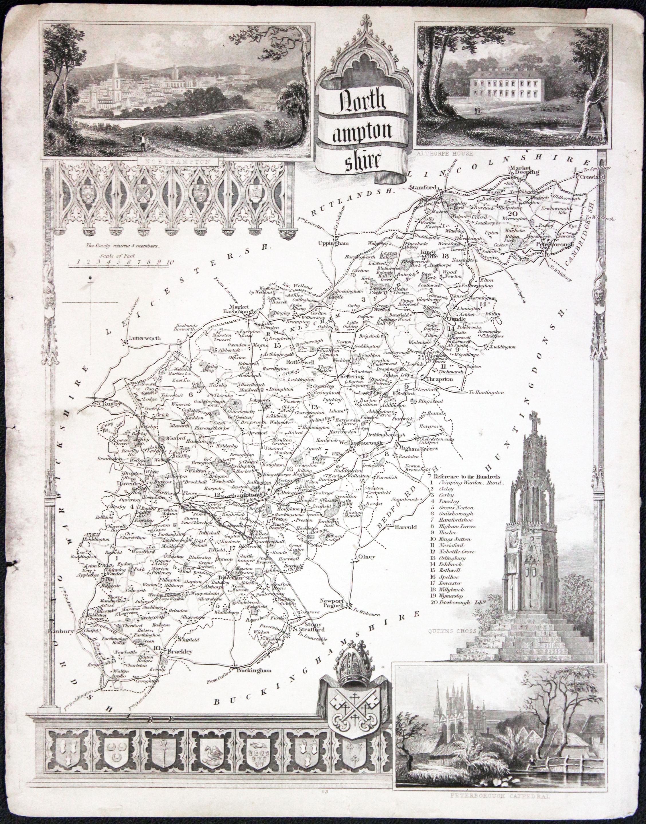
Northamptonshire, Thomas Moule, c.1850

30025 Northamptonshire, Thomas Moule, c.1850. Price: 42.00
NORTHAMPTONSHIRE
A decorative Victorian map of the county. Embellished with gothic architecture, a vignette view of Queen's Cross and inset views of Northampton, Peterborough Cathedral and Althorpe House. Coats of arms. 7 1/2 x 10 1/4 inches. Hand coloured . In a maroon sun mount and framed some years ago in a rubbed gilt moulding which is still in good condition.
From: Barclay’s Dictionary
This map is only available to customers who can collect from Christleton
Late 19th Century
-

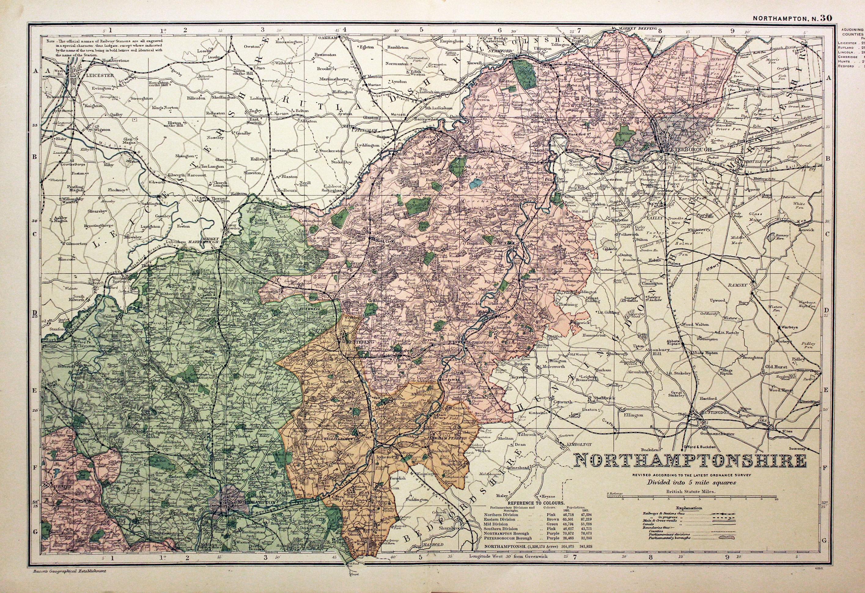
Northern Northamptonshire by George Washington Bacon

30183 Northern Northamptonshire, George Washington Bacon, c.1896. Price: 14.00
NORTHAMPTONSHIRE REVISED ACCORDING TO THE LATEST ORDNANCE SURVEY. ORDNANCE SURVEY. DIVIDED INTO 5 MILE SQUARES
A good detailed late 19th century colour printed map of the northern half of the county. Shows the railways and Parliamentary Divisions. 18 x 12 inches. Good condition.
Early 19th Century
-

Northamptonshire, George Cole and John Roper, 1810

30525 Northamptonshire, George Cole and John Roper, 1810. Price: 30.00
NORTHAMPTONSHIRE
A good detailed engraved map of the county divided into hundreds. Bears the publishers imprint dated of 1807. Explanation. 8 3/4 x 6 3/4 inches. Original wash and outline hand colouring. Good condition. Straight from the atlas and not sold as a single map before. With original page of descriptive text.
From: The British Atlas
18th Century - Early Hand Colouring
-

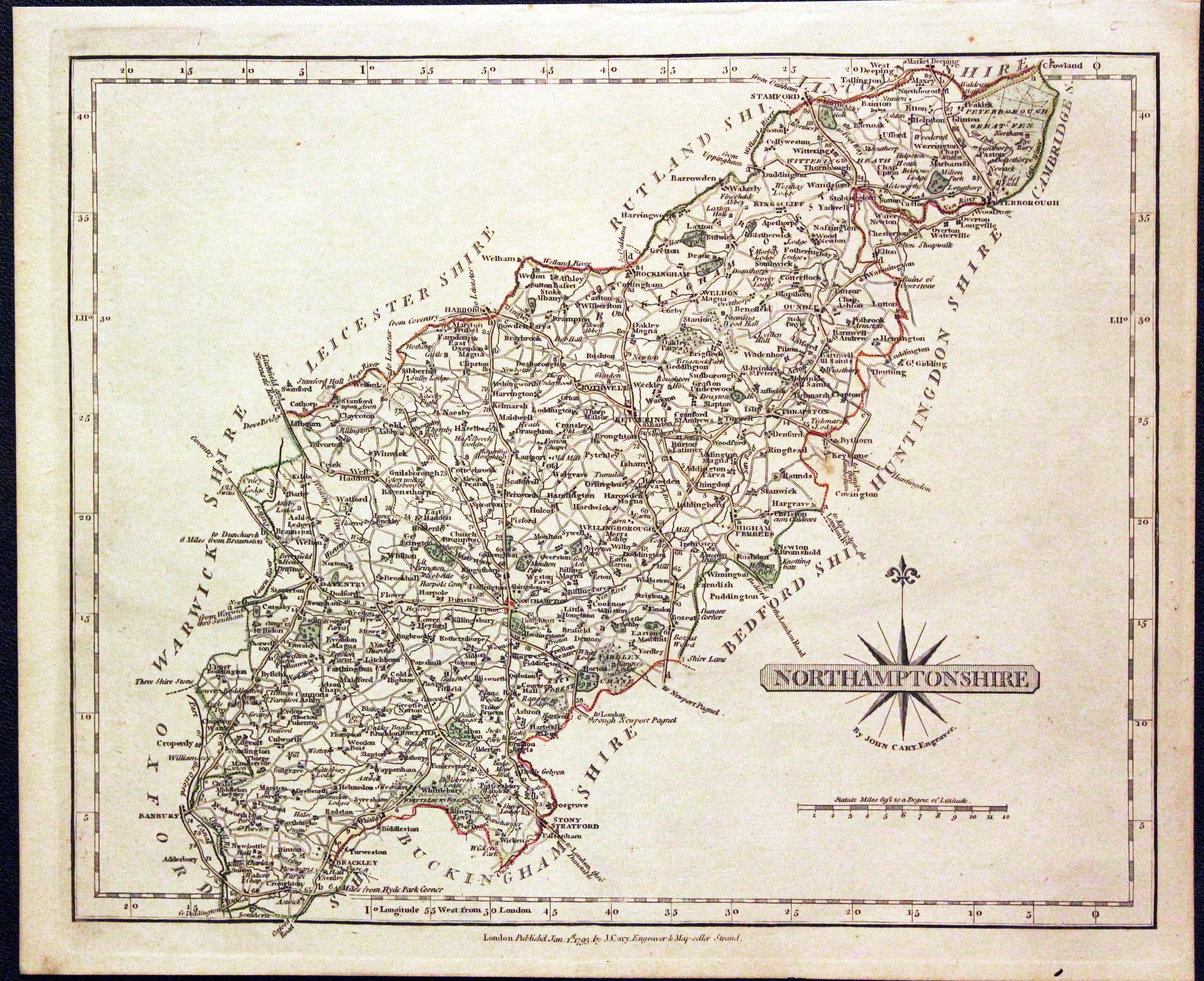
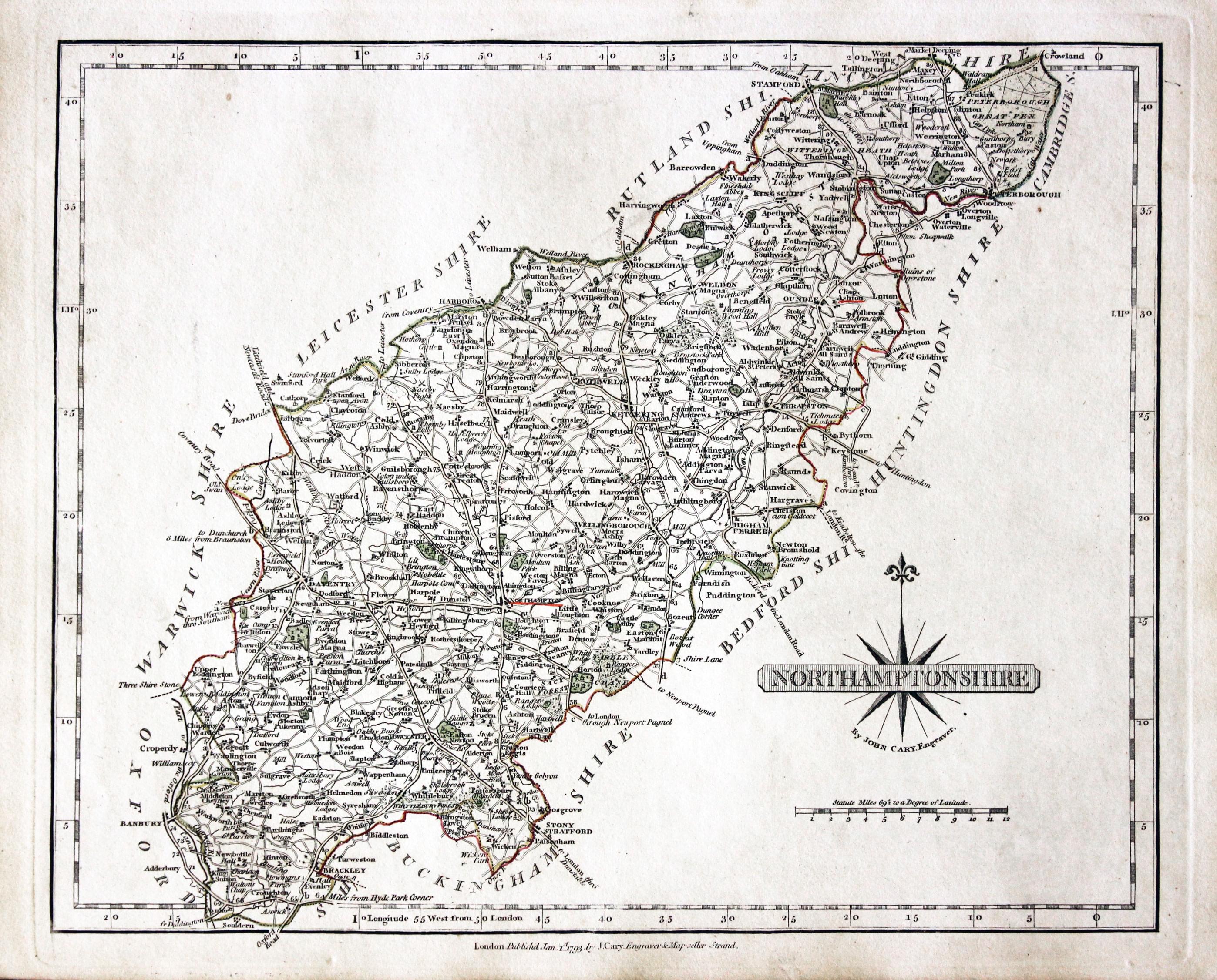
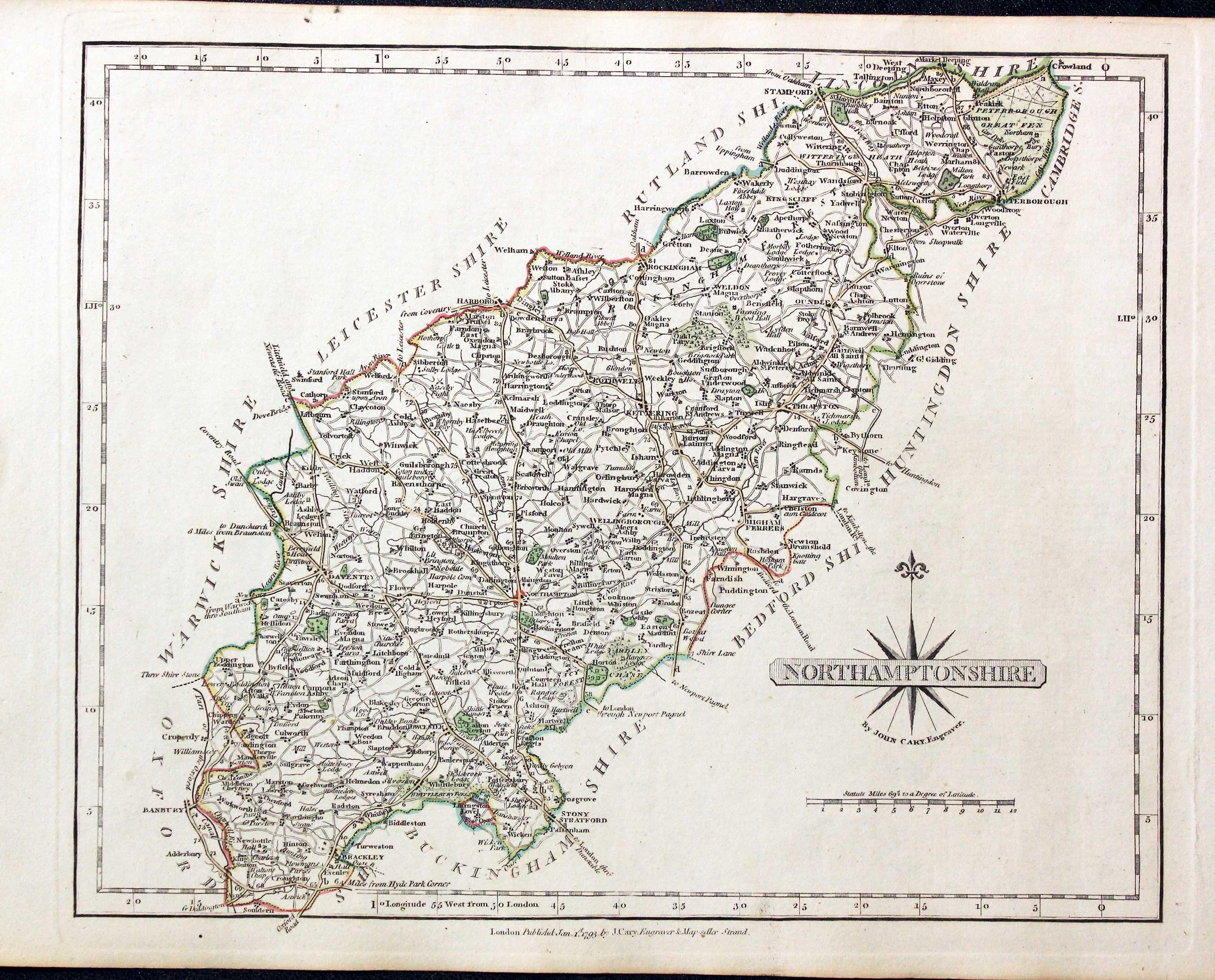
Northamptonshire, John Cary, 1793

30611 Northamptonshire, John Cary, 1793. Price: 34.00
NORTHAMPTONSHIRE
An good detailed engraved of the county with the coach roads. Title panel with compass rose. 10 1/4 x 8 1/4 inches. Imprint of the publisher John Cary dated 1793 beneath the map. With this map is the original page of descriptive text relating to the county. Original outline hand colouring. Good clean condition. Straight from the atlas and not sold as a single map before.
From: Cary's New and Correct English Atlas
19th Century - Decorative
-

Northamptonshire, Thomas Moule, c.1850

30626 Northamptonshire, Thomas Moule, c.1850. Price: 30.00
NORTHAMPTONSHIRE
A decorative Victorian map of the county. Embellished with gothic architecture, a vignette view of Queen's Cross and inset views of Northampton, Peterborough Cathedral and Althorpe House. Coats of arms. 7 1/2 x 10 1/4 inches. Uncoloured. Some soiling on verso and some marginal nicks.
From: Barclay’s Dictionary
19th Century - Early Hand Colouring
-

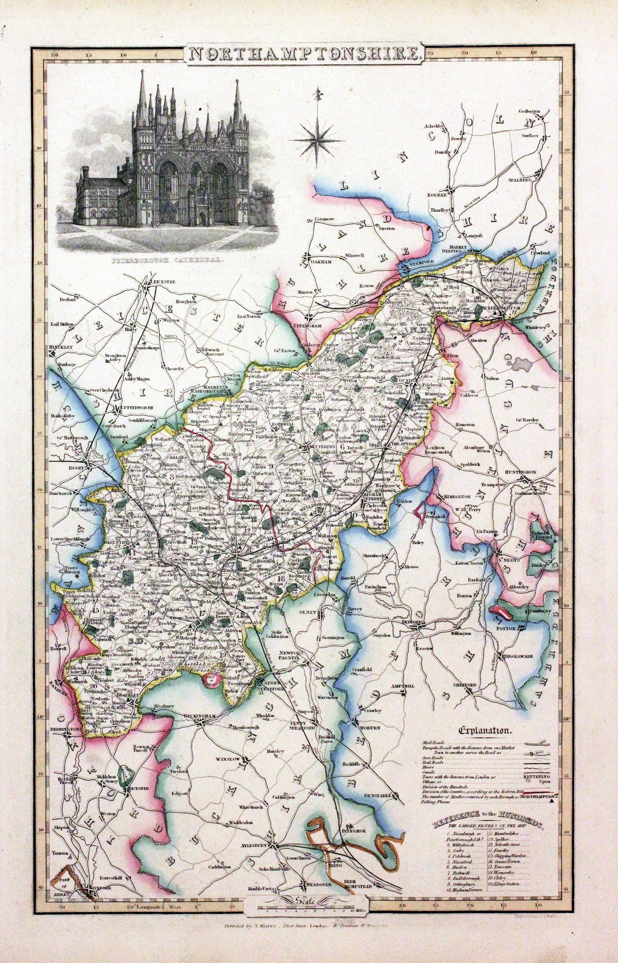
Northamptonshire, James Pigot / Isaac Slater, c.1857

30790 Northamptonshire, James Pigot / Isaac Slater, c.1857. Price: 62.00
NORTHAMPTONSHIRE
An engraved map of the county with title, scale, explanation and list of hundreds. Embellished with an uncoloured view of Peterborough Cathedal. 8 3/4 x 14 inches. Original outline hand colouring. Original outline hand colouring. On stout paper. Good undamaged condition.
From: Isaac Slater’s New British Atlas
18th Century -Interesting Provenence
-
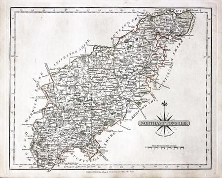
Northamptonshire, John Cary 1793

30873 Northamptonshire, John Cary 1793. Price: 38.00
NORTHAMPTONSHIRE
A detailed and well engraved map of the county with original outline hand colouring. 10 x 8 inches. Publisher's imprint beneath dated 1793. Original outline hand colouring. Some of the town names are underlined in red. With the original page of descriptive text.
From: Cary's New and Correct English Atlas
The places underlined in red ink are those in which a Catholic mission has been established between the era of the Reformation and the year 1840
John Hobson Matthews (1858 - 1914) Born in Croydon in 1858. Educated at schools at Blackheath and Cambridge. Worked for a shipping firm in Malta. A good linguist he was a Roman Catholic historian, archivist and solicitor. You will find more details about him here in the Dictionary of Welsh Biography.
18th Century - Early Hand Colouring
-

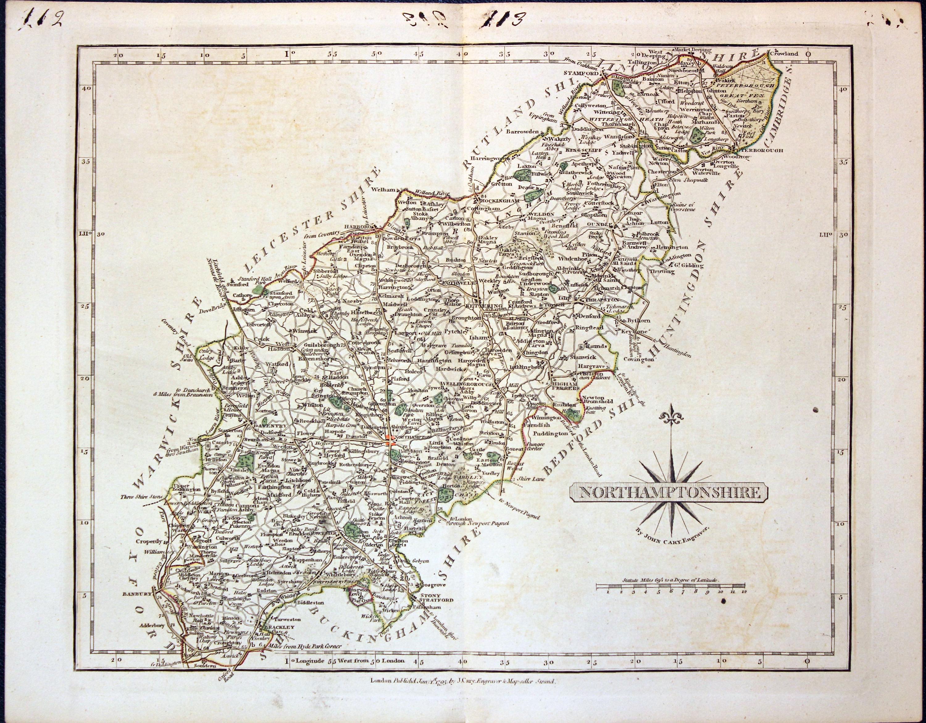
Northamptonshire, John Cary 1793

30997 Northamptonshire, John Cary 1793. Price: 36.00
NORTHAMPTONSHIRE
A well engraved detailed map of the county with title panel and compass rose combined. Scale. Imprint of John Cary dated 1793. Centre fold. Old manuscript numbering in blank margin 108 and 109. 10 1/4 x 8 1/4 inches. Original outline hand colouring. Good condition. From Cary's New and Correct English Atlas
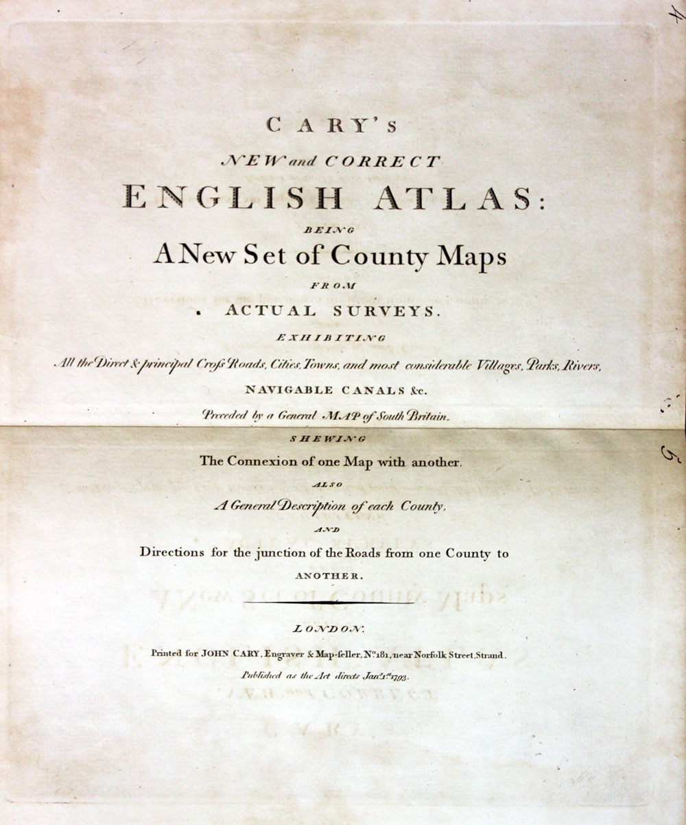
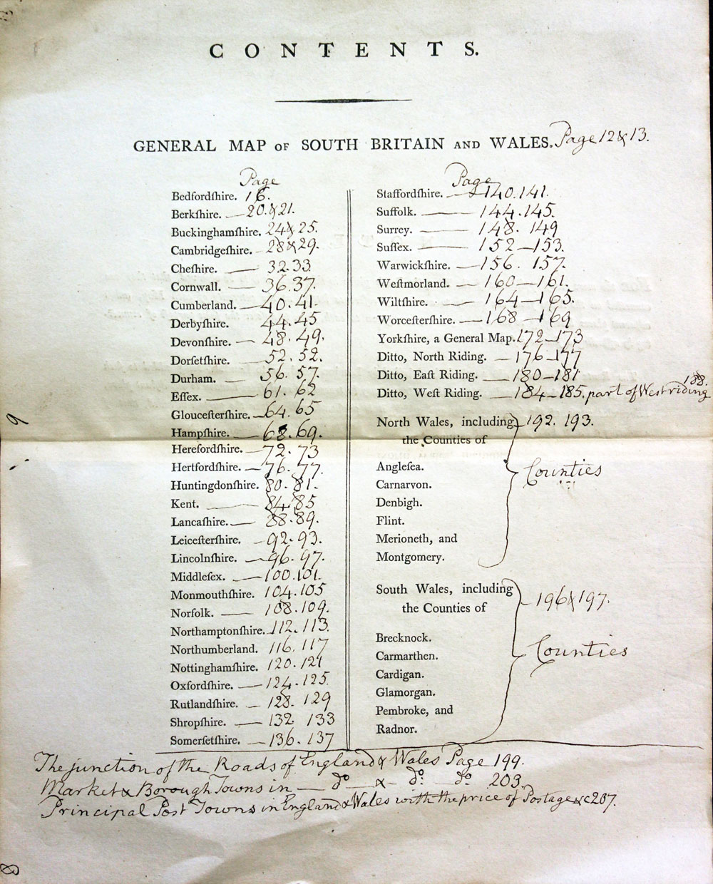
TITLEPAGE AND ANNOTATED CONTENTS PAGE
-

New and Correct English Atlas
-
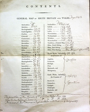
Hobsons Fox Hunting Atlas List of Hunts
19th Century
-

Northamptonshire, Joshua Archer, c.1845

31220 Northamptonshire, Joshua Archer, c.1845. Price: 9.50
NORTHAMPTONSHIRE
An engraved county map divided into hundreds. 9 x 7 inches. Uncoloured. Slight creasing in centre fold otherwise good condition.
From: Dugdales England and Wales Delineated
18th Century - First Edition
-

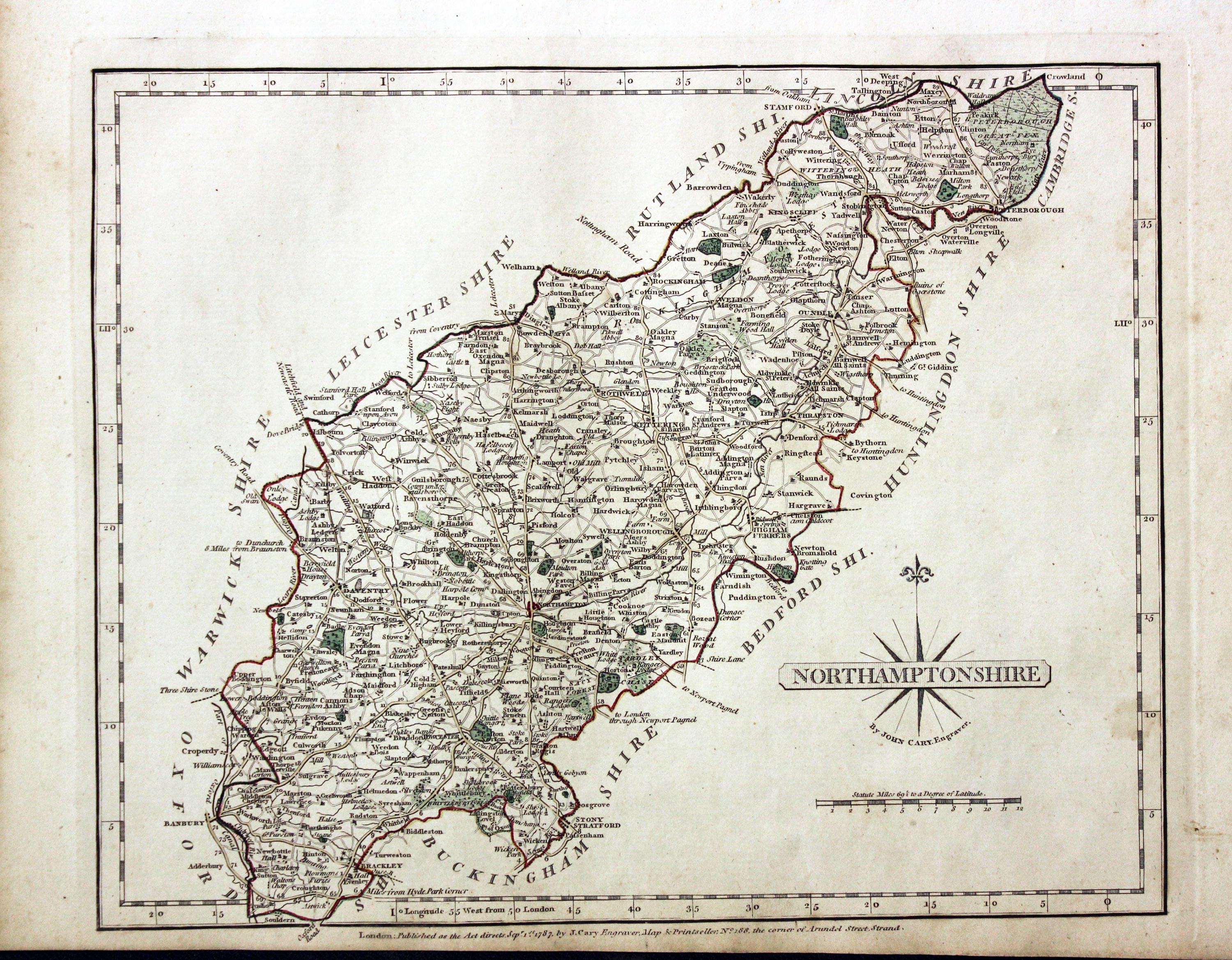
Northamptonshire John Cary 1787

31295 Northamptonshire, John Cary 1787. Price: 40.00
RUTLANDSHIRE
The FIRST EDITION of this detailed engraved map of the county. Title panel and compass rose combined. Cary's imprint beneath dated 1787. 10 1/4 x 8 1/4 inches. Original outline hand colouring. Good condition.
From Cary’s New and Correct English Atlas
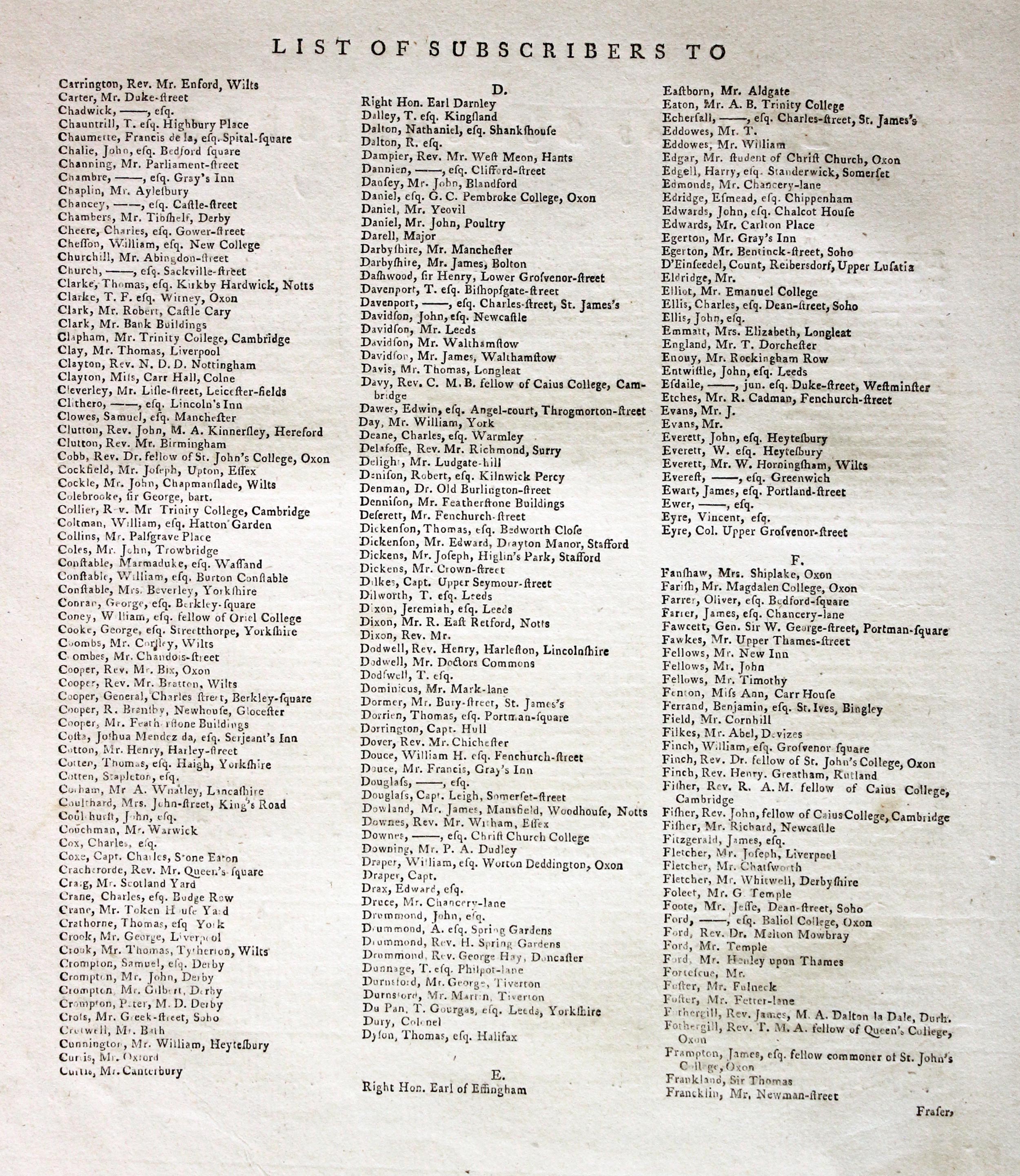
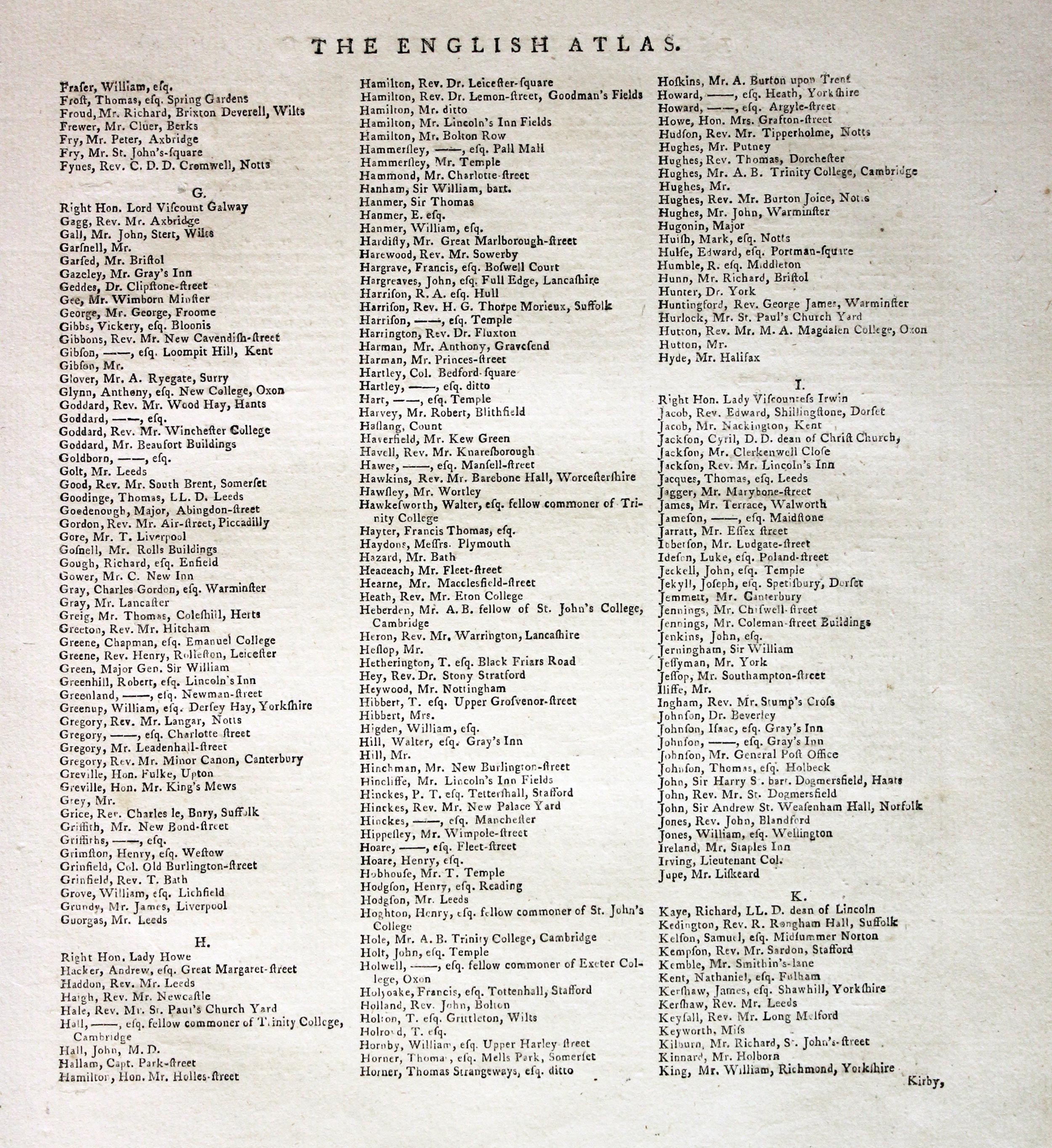
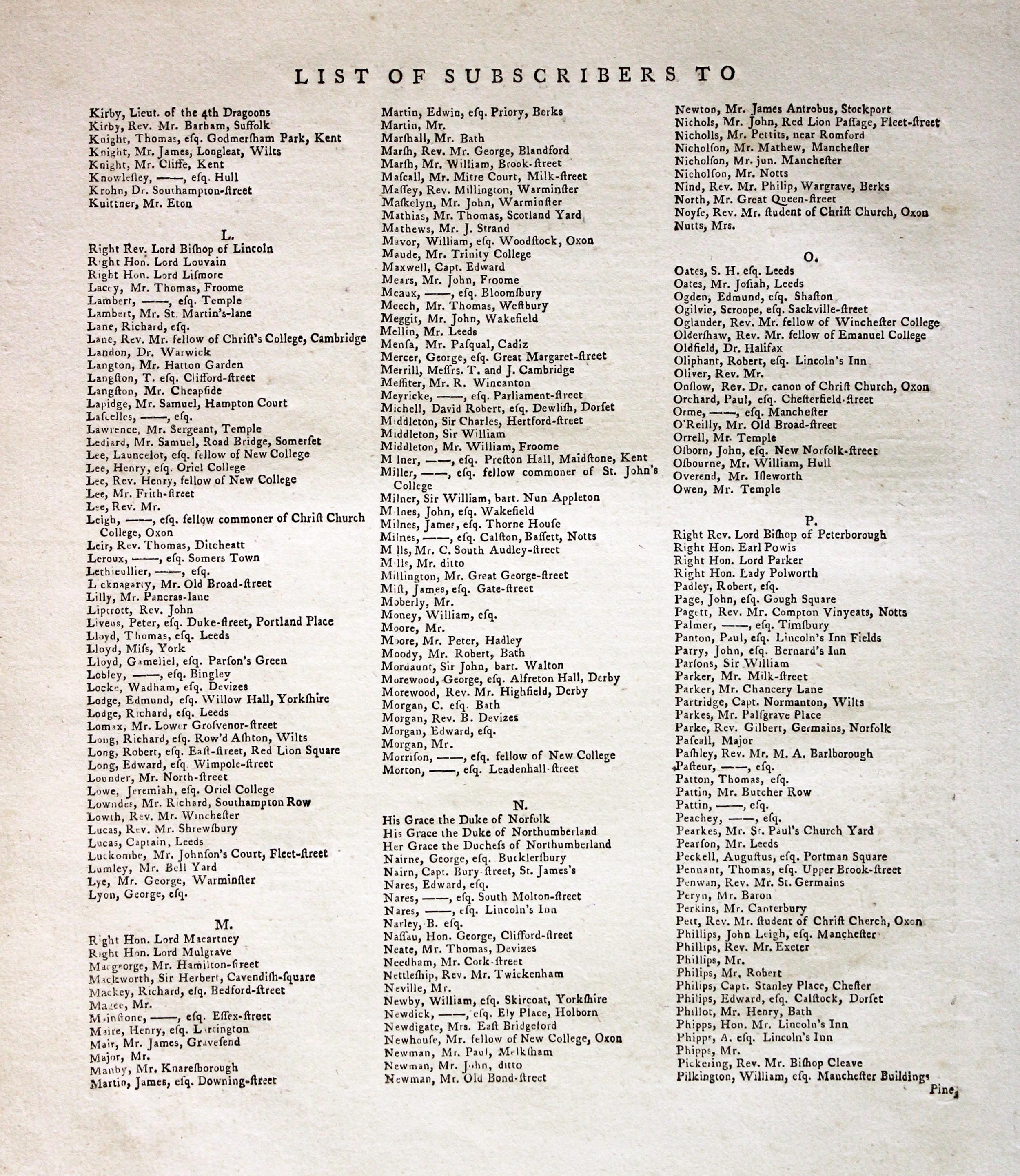
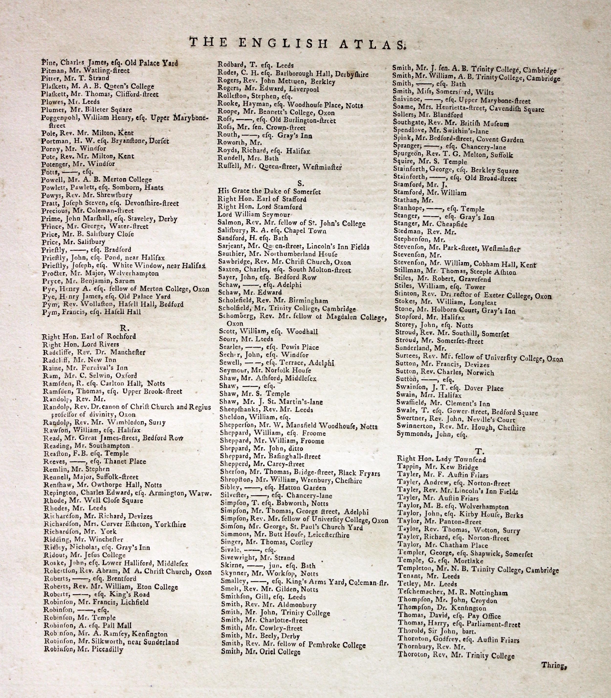
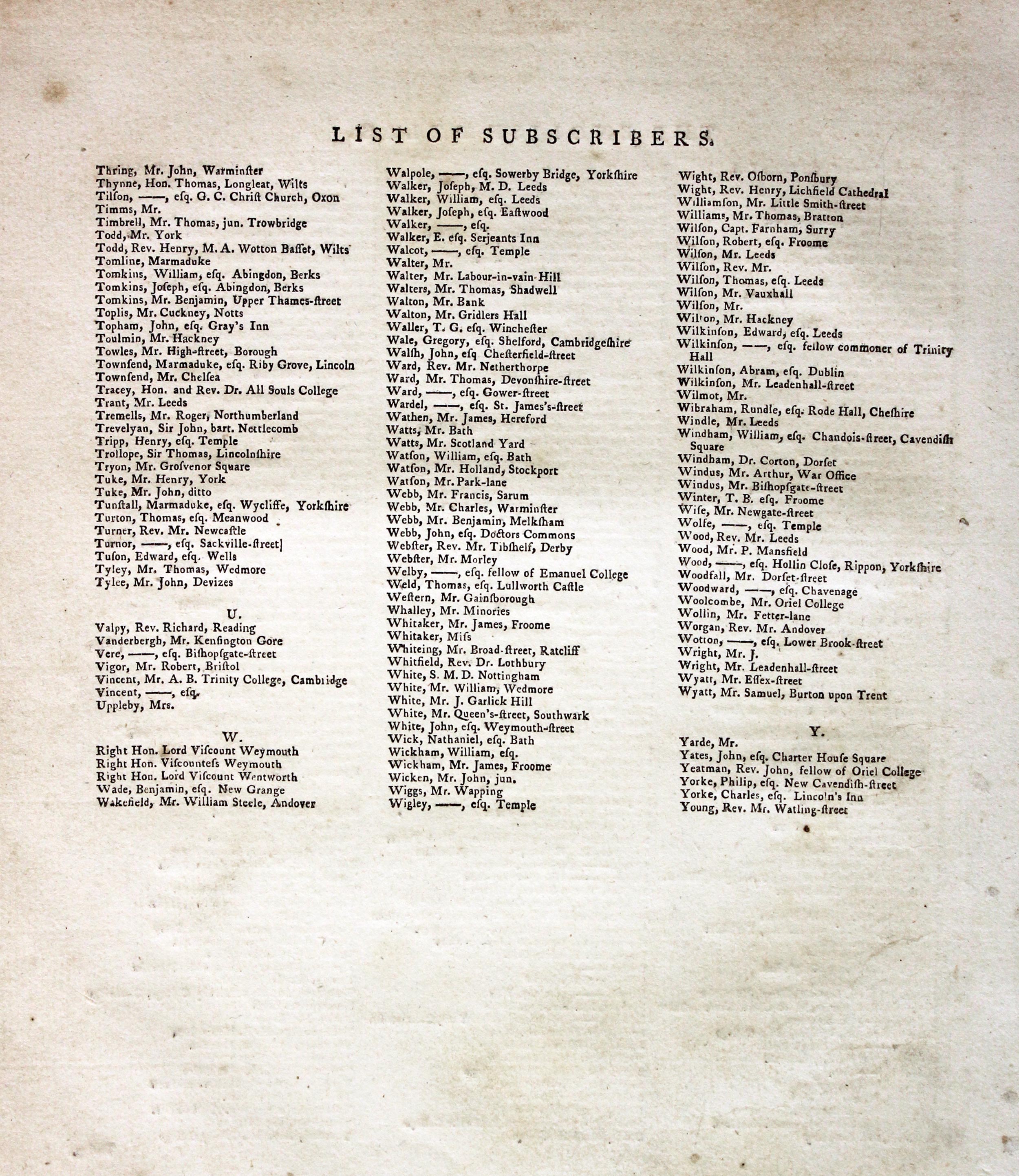
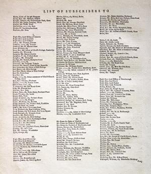
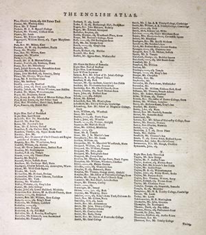
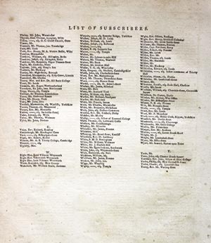
Subcribers to the First Edition
If you are thinking of buying this map you may be interested to see this list of the original subscribers to Cary's New and Correct English Atlas first published in 1787. It makes interesting reading and might even include one of your relatives.
-
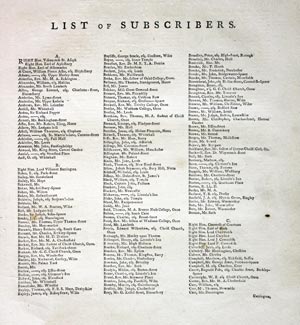
New and Correct English Atlas Subscribers
-

New and Correct English Atlas Subscribers
-
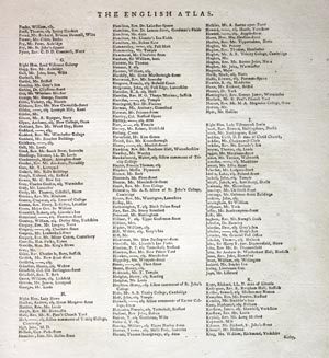
New and Correct English Atlas Subscribers
-
New and Correct English Atlas Subscribers
-
New and Correct English Atlas Subscribers
-
New and Correct English Atlas Subscribers
19th Century - Early Hand Colouring
-

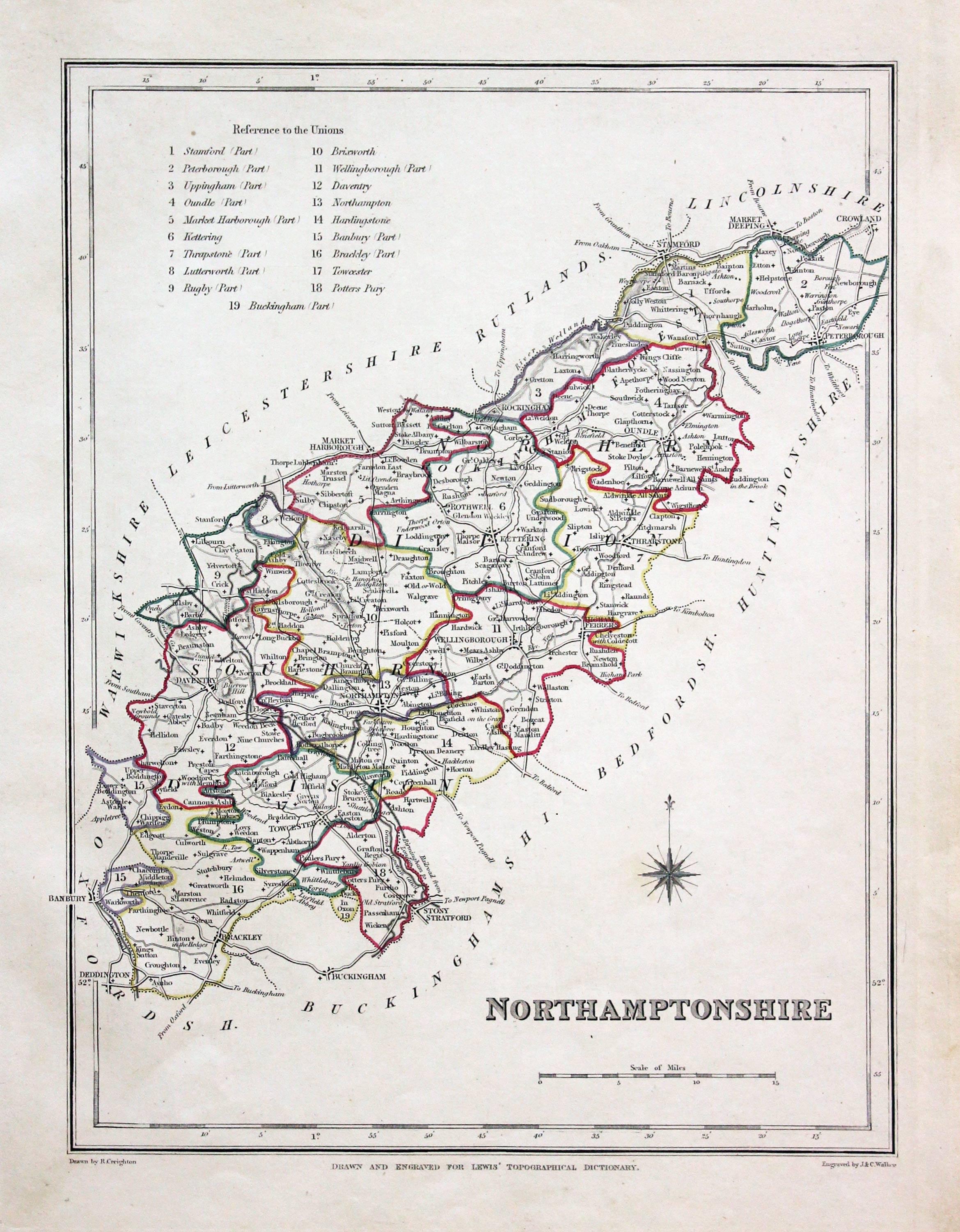
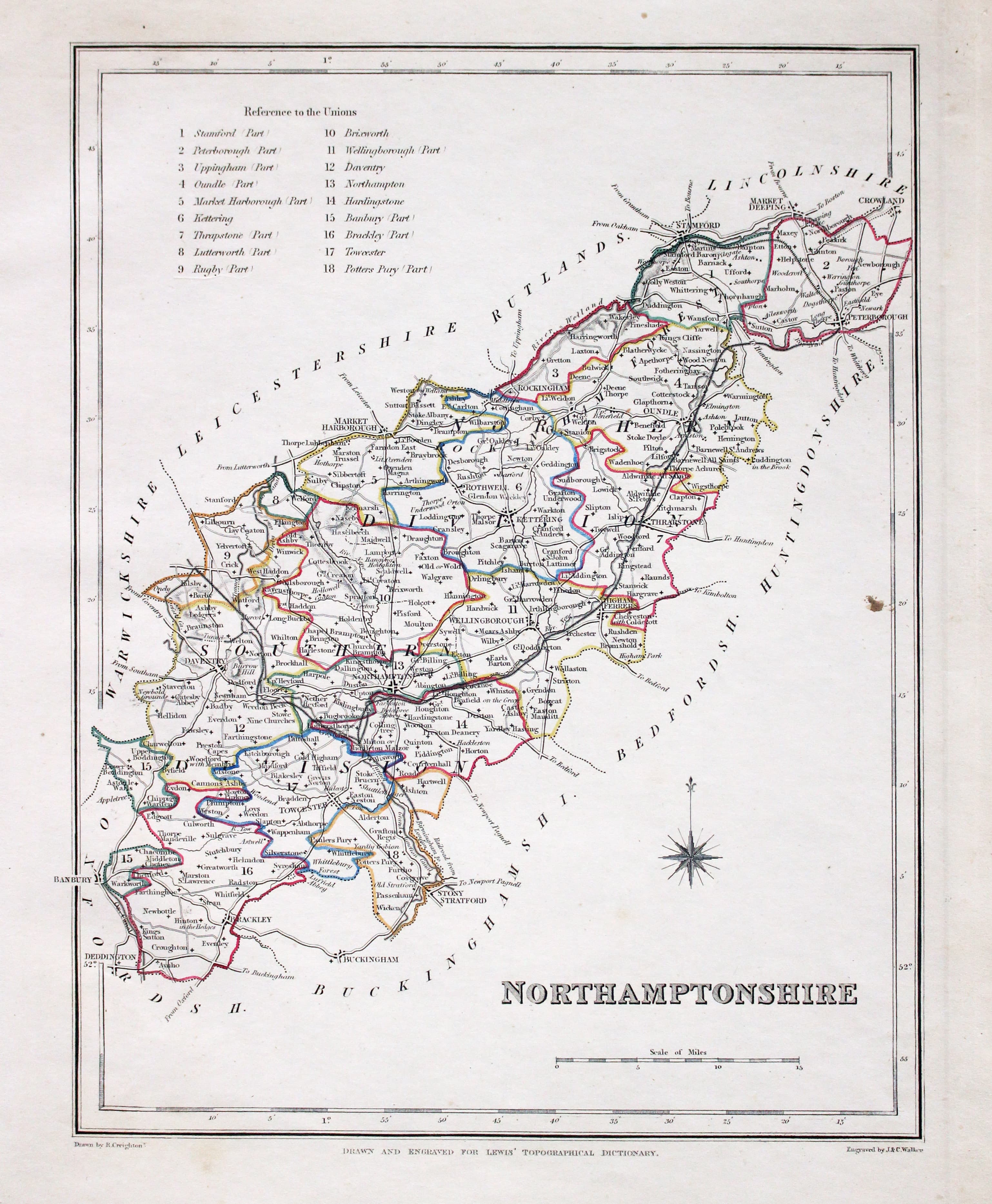
Northamptonshire, Samuel Lewis 1845

31607 Northamptonshire, Samuel Lewis, 1845. Price: 14.00
NORTHAMPTONSHIRE
A county map drawn by R. Creighton and engraved by J. & C. Walker. Reference to the Unions. Scale and compass rose. 6 3/4 x 9 inches. Original outline hand colouring. Good clean condition. Straight from the atlas and not sold as a single map before now.
From Lewis' Atlas to the Topographical Dictionaries of England and Wales
Early 19th Century - With Text
31710 Northamptonshire, John Cary, 1802. Price: 37.00
NORTHAMPTONSHIRE
A well engraved detailed map of the county with title panel and compass rose combined. Scale. Imprint of John Cary dated 1793. With original page of descriptive text. 10 x 8 inches. Original outline hand colouring. Good condition. I have dated this map 1802 because the paper is watermarked 1802. The title page of the atlas is dated 1795.
From: Cary's New and Correct English Atlas
18th Century - County Map and Road Map
-
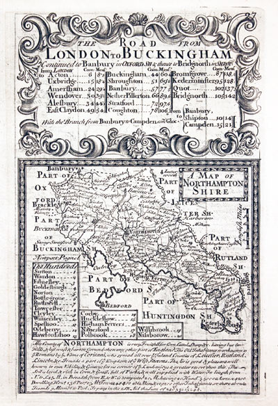
Northamptonshire, John Owen and Emanuel Bowen 1753
-

Road Map London to Amersham John Owen and Emanuel Bowen 1753
32380 Northamptonshire, John Owen and Emanuel Bowen, 1753. Price: 36.00
A MAP OF NORTHAMPTONSHIRE
An engraved county map with description and list of hundreds. The map is surmounted by a baroque cartouche titled The Road from London to Buckingham. Road map on verso from London to beyond Amersham with two coats of arms and engraved notes. 4 x 7 inches. Uncoloured. Straight from the atlas and not sold previously as a single map. Good condition.
From Britannia Depicta


PROVENANCE
At some time part of the Townsend Family library
Late 18th Century - Early Hand Colouring
-

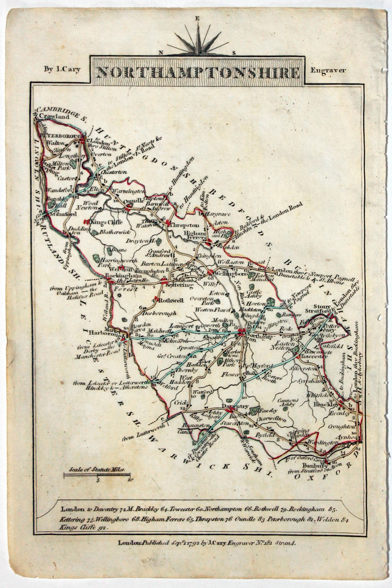
Map of Northamptonshire, John Cary, 1792
32556 Northamptonshire, John Cary, 1792. Price: 12.00
NORTHAMPTONSHIRE
A small engraved map of the county. Tile panel surmounted by half compass rose. Panel at bottom with list of distances from London. Publisher’s imprint beneath dated 1792. 3 1/2 x 4 3/4 inches. Thin paper. Original outline hand colouring. Good condition.
From: Cary’s Traveller’s Companion
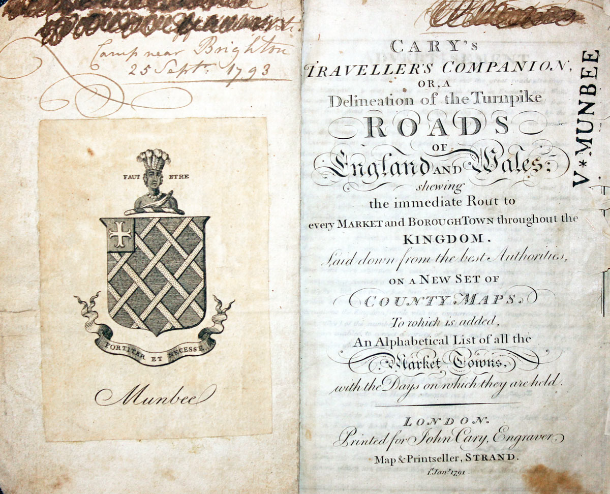
Title page dated 1791, maps dated 1792. The atlas was formerly in the Mumbee family library - title page stamped V. Munbee
Provenance
-
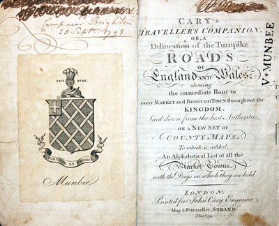
Cary Titlepage and Munbee Bookplate

19th Century
-

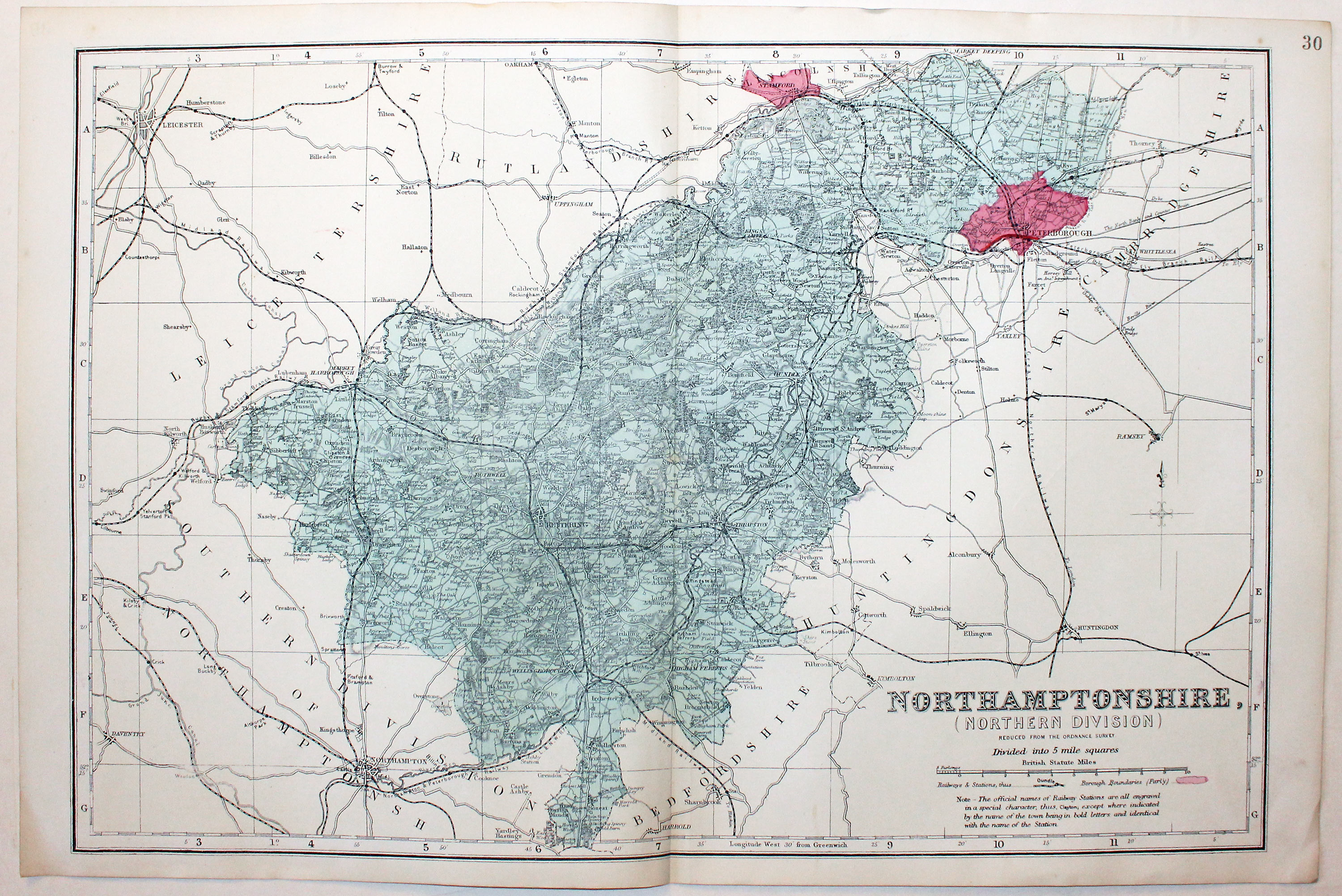
Northern Northamptonshire, George Washington Bacon, c.1896

32717 Northern Northamptonshire, George Washington Bacon, c.1896. Price: 14.00
NORTHAMPTONSHIRE REVISED ACCORDING TO THE LATEST ORDNANCE SURVEY. DIVIDED INTO 5 MILE SQUARES
A good detailed late 19th century colour printed map of the northern half of the county. Shows the railways and Parliamentary Divisions. 18 x 12 inches. Good condition.
From: Atlas of the British Isles published by George Washington Bacon
19th Century - Early Hand Colouring
-

Map of Cheshire by Samuel Lewis 1848

32926 Northamptonshire, Samuel Lewis, 1848. Price: 19.00
NORTHAMPTONSHIRE
A county map drawn by R. Creighton and engraved by J. & C. Walker. Reference to the Unions. Scale and compass rose. 6 3/4 x 9 inches. Original outline hand colouring. Good clean condition. Straight from the atlas and not sold as a single map before now.
From: Lewis' Atlas to the Topographical Dictionaries of England and Wales
19th Century
-

Map of Northamptonshire by Thomas Letts

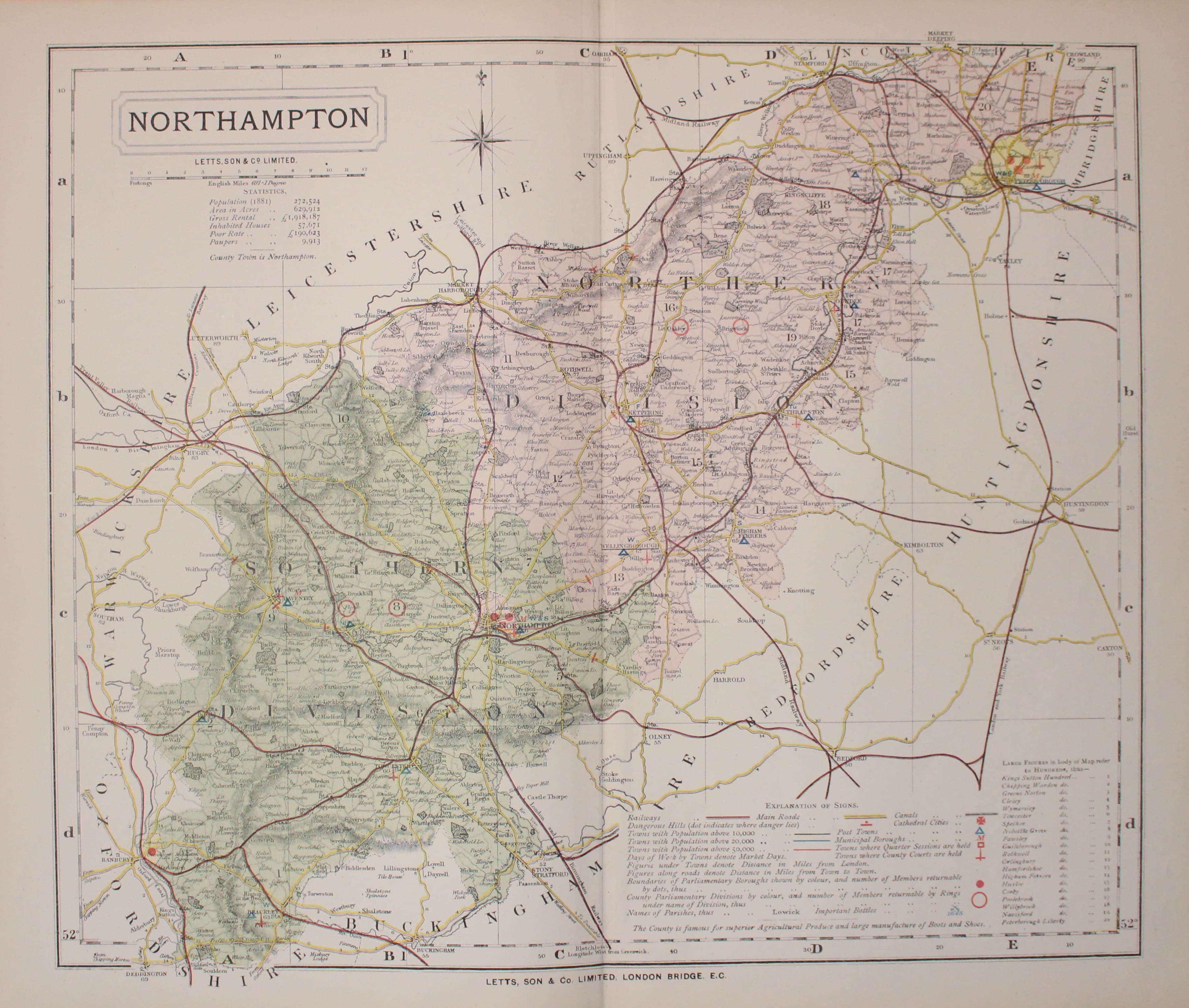
32979 Northamptonshire, Thomas Letts, 1884. Price: 24.00
NORTHAMPTON
A detailed chromolithograph map of the county. Explanation plus statistics concerning Population, Area, Inhabited Houses, Poor Rate and Paupers. 15 x 12 1/2 inches. Original centre fold. Imprint of Letts & Son beneath. Fine clean condition. Straight from the atlas so never previously been sold as a single map.
From: Lett’s Popular County Atlas
Early 19th Century
-

Northamptonshire John Cary & John Stockdale 1808

33118 Northamptonshire, John Cary & John Stockdale, c.1808. Price: 44.00
A MAP OF NORTHAMPTONSHIRE FROM THE BEST AUTHORITIES
A good detailed map of the county with publisher’s imprint dated 1805. 19 x 17 inches. Good clean condition with wide blank margins. Originally bound on edge so there is no centre fold but there is a light fold crease up the centre of the map. The paper is watermarked 1808. Later hand colouring.
From: New British Atlas published by John Stockdale, Piccadilly.
Late 18th Century
-

Northamptonshire John Harrison, 1788

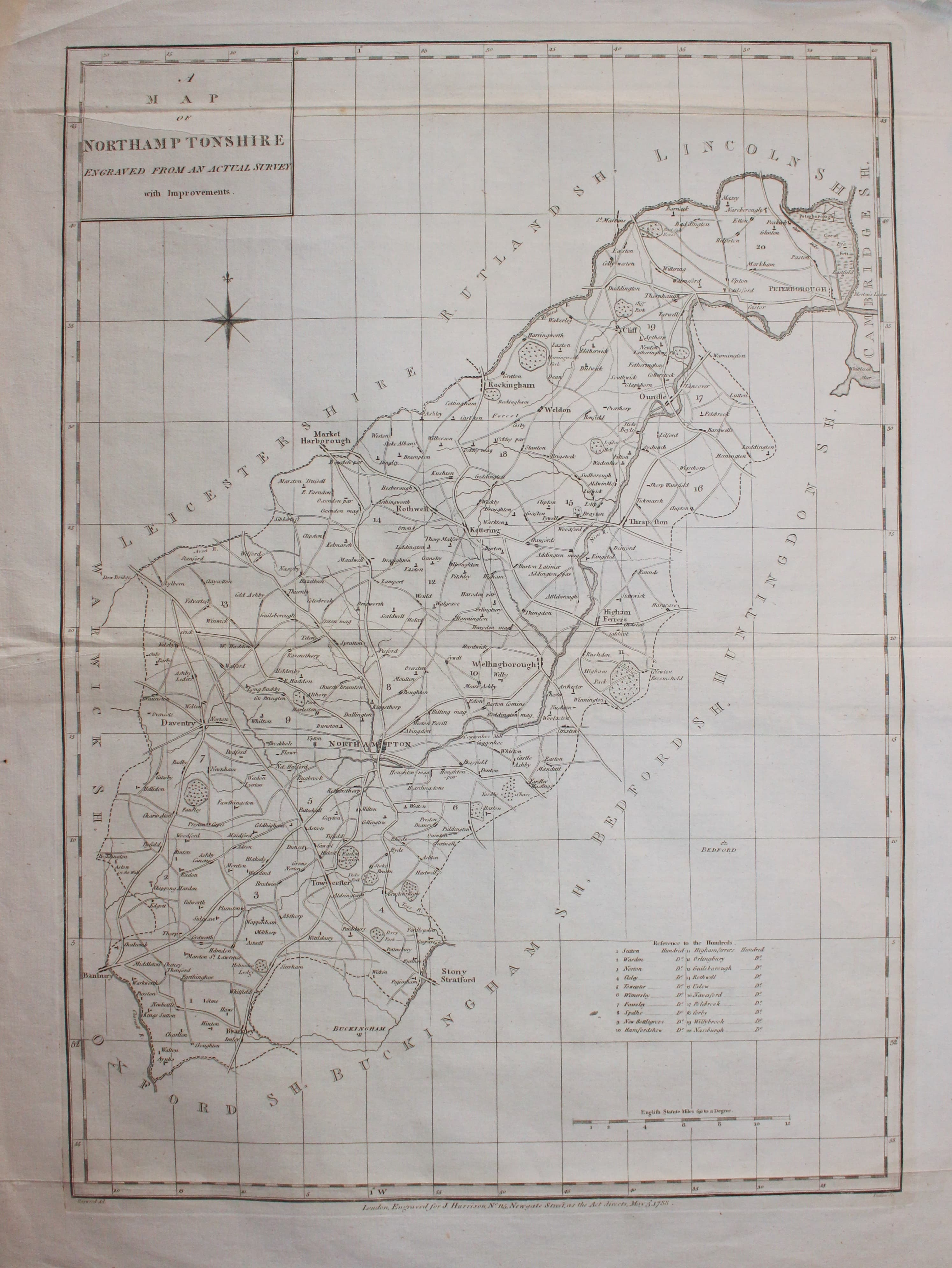
33130 Northamptonshire, John Harrison, 1788. Price: 30.00
A MAP OF NORTHAMPTONSHIRE
An engraved map of the country with title ael, list of hundreds and scale. Publishers imprint beneath London Engraved for J. Harrison No 115 Newgate Street May 3d. 1788. 13 x 18 inches. Original centre fold. Uncoloured. A little light creasing but otherwise a nice clean specimen.
Early 19th Century - Town Plan

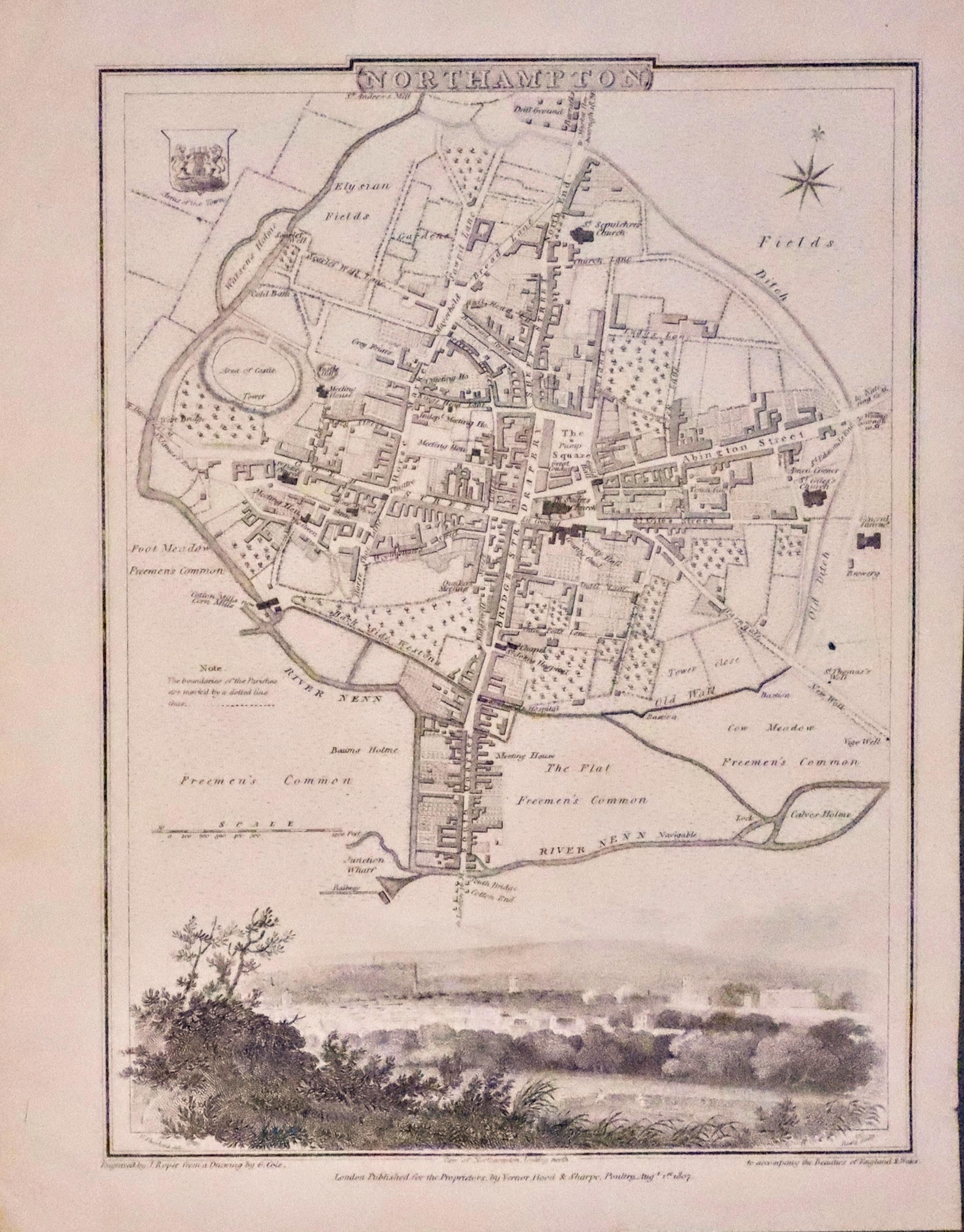
33304 Northampton, George Cole and John Roper, 1810. Price: 42.00
NORTHAMPTON
An interesting engraved Georgian plan of the town embellished with a vignette view of Northampton which stretches right across the base of the plan. Town arms and compass rose. 7 x 9 1/2 inches. Uncoloured. Single tear in top margin which does not reach the engraved area. Otherwise good clean condition.
From: The British Atlas
17th Century
-

Northamptonshire, Saxtoon/Kip 1637

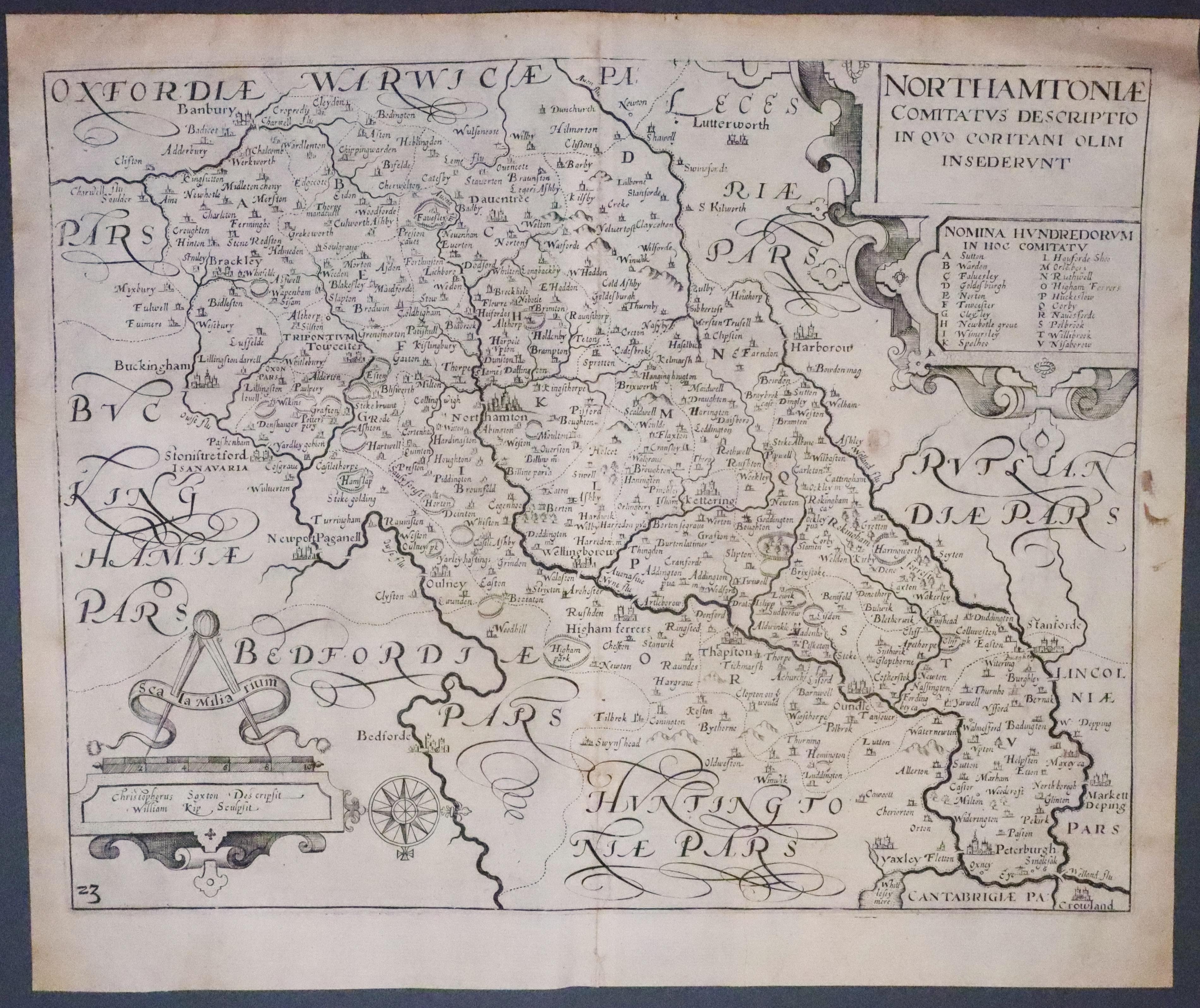
33323 Northamptonshire, Christopher Saxton / William Kip, 1637. Price: 98.00
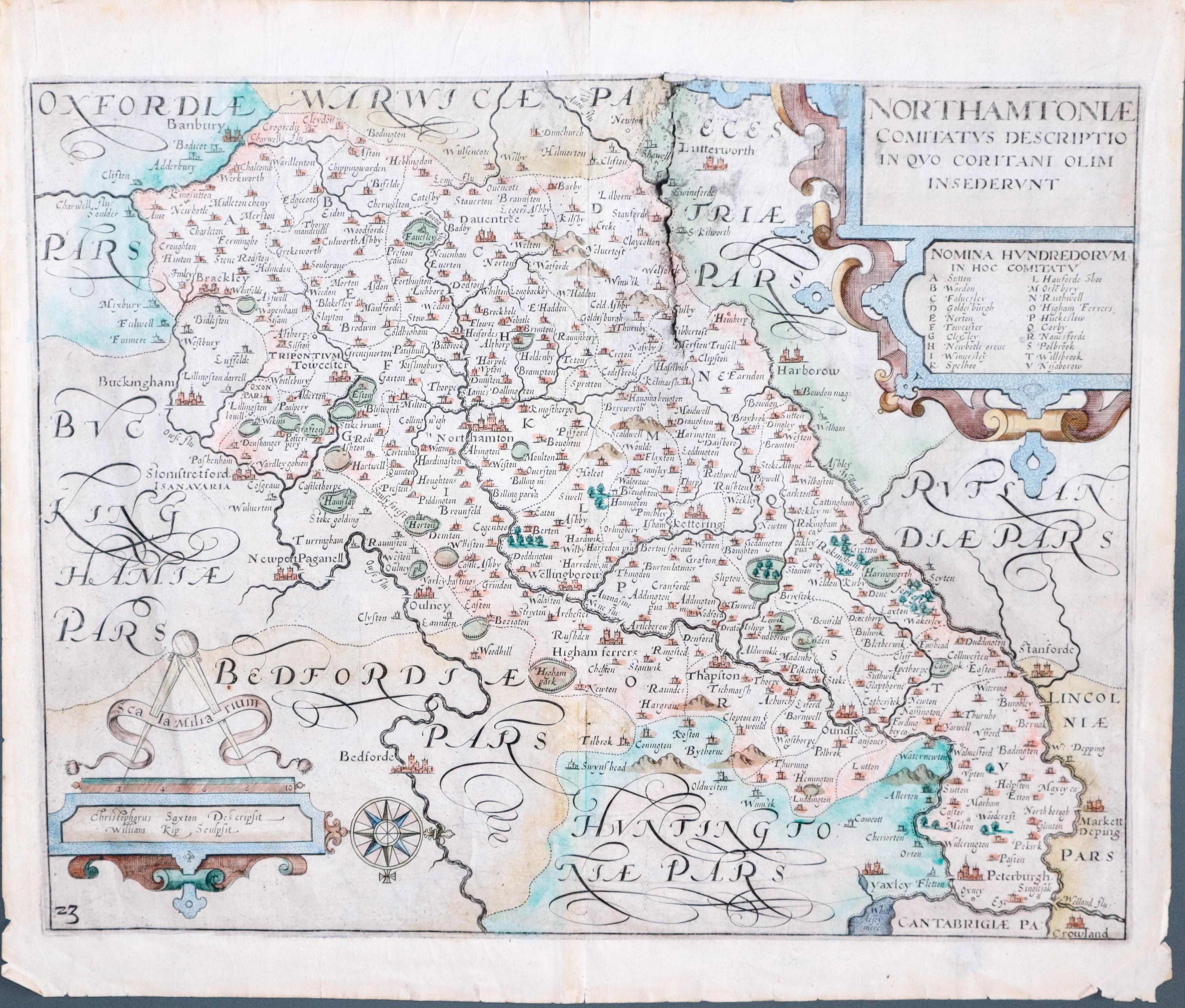
NORTHAMTONIAE Comitatus Descriptio in quo Coritani olim insederunt
An early engraved map of the county embellished with decorative title and scale cartouches. The scale cartouche bears the name of Christopher Saxton and William Kip. 14 x 11 inches, 360 x 285 mm. Uncoloured. Coat of arms watermark. Slit in the centre fold repaired. Few other small nicks repaired. Small circular area beneath the title cartouche where the paper is thin. Small brown mark to the right of this in the blank margin.
From: Camden's Britannia.
Early 17th Century
-

Map of Northamptonshire by William Kip after Christoper Saxton 1637

33384 Northamptonshire, Christopher Saxton / William Kip, 1637. Price: 98.00
NORTHAMTONIAE Comitatus Descriptio in quo Coritani olim insederunt
An early engraved map of the county embellished with decorative title and scale cartouches. Engraved by William Kip from the original survey by Christopher Saxton. The scale cartouche bears the name of Christopher Saxton and William Kip. 14 x 11 inches, 360 x 285 mm. Hand coloured. A few small marginal nicks repaired. By the time this impression had been taken from the copper plate a crack had appeared to the left of the title cartouche had started to appear.
From: Camden's Britannia.
18th Century - First Edition
-

Northamptonshire, Robert Morden 1695
33498 Northamptonshire, Robert Morden 1695. Price: 38.00
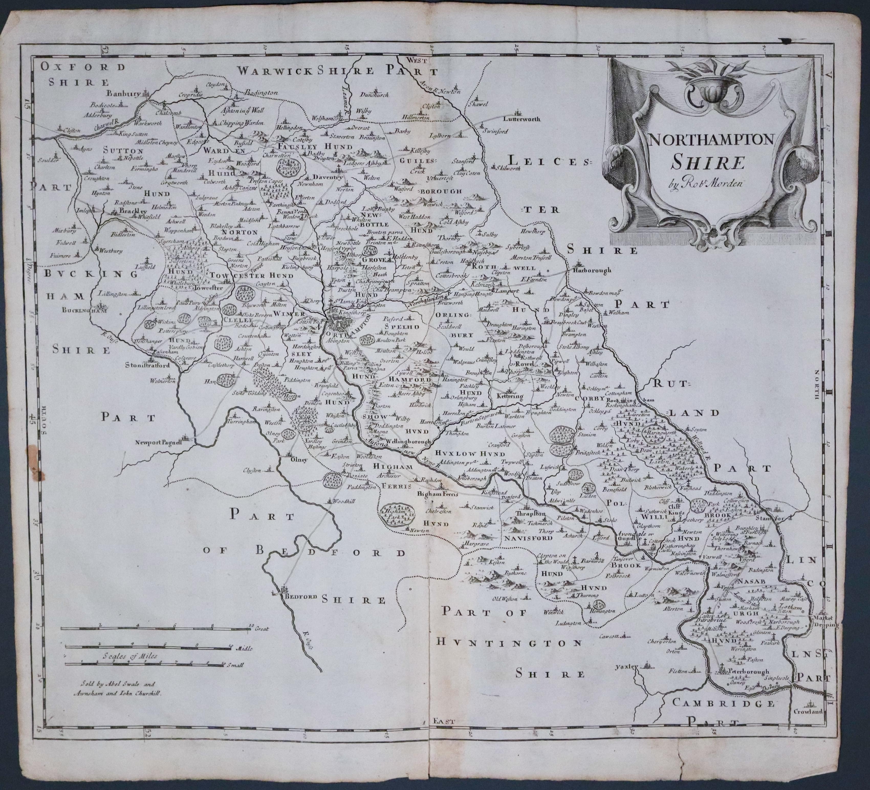
NORTHAMPTON SHIRE BY ROBT. MORDEN
The FIRST EDITION of this good engraved map of the county. Embellished with a decorative title cartouche. Three scales. Imprint of the publishers Abel Swale with Awnsham and John Churchill. 16 1/2 x 14 inches. Uncoloured. 4 inch split at the bottom of the centre fold. Right hand blank margin narrows to very little little. Brown mark in the left hand printed border. Tear in the bottom blank margin repaired with tape on verso. One of the first maps of the county to show the main coach roads following Ogilby’s survey some 20 years earlier.
From: Camden's Britannia.
