Antique Maps of Suffolk
Richard Nicholson of Chester
A World of Antique Maps and Prints
Established in 1961
All the Maps on this page are guaranteed to be genuine early specimens
published in or around the year stated
19th Century - Road Map
-
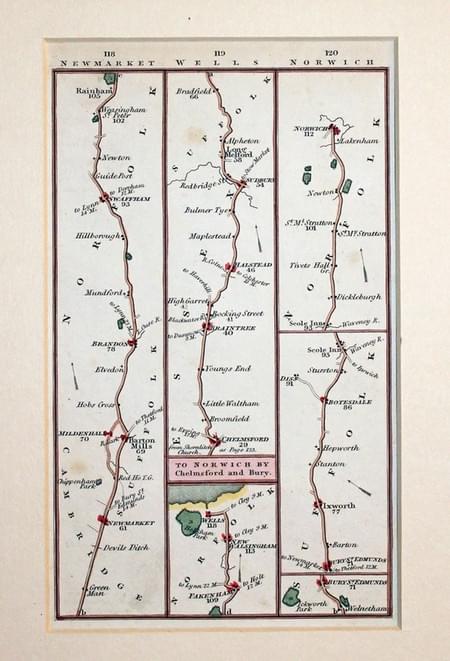
Road map Newmarket to Wells and Chelmsford to Norwich, Charles Smith

02662 Road Map showing Newmarket / Wells / Chelmsford / Norwich, Charles Smith, 1826. Price: 27.00
ROAD MAP. PLATE 118/119/120
A strip road map starting near Newmarket and continuing to Swaffham and Rainham and onto Fakenham and Wells. The second part starts at Chelmsford in Essex and then to Braintee, Long Melford, Bury St. Edmunds, Scole Inn and Norwich. 3 3/4 x 6 inches. Hand coloured. Plain on verso. In a 2 1/2 inch ivory tint sunk mount. Good clean condition.
Victorian Fox Hunting Map of Suffolk
-
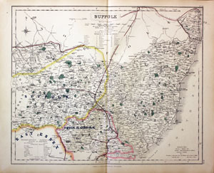
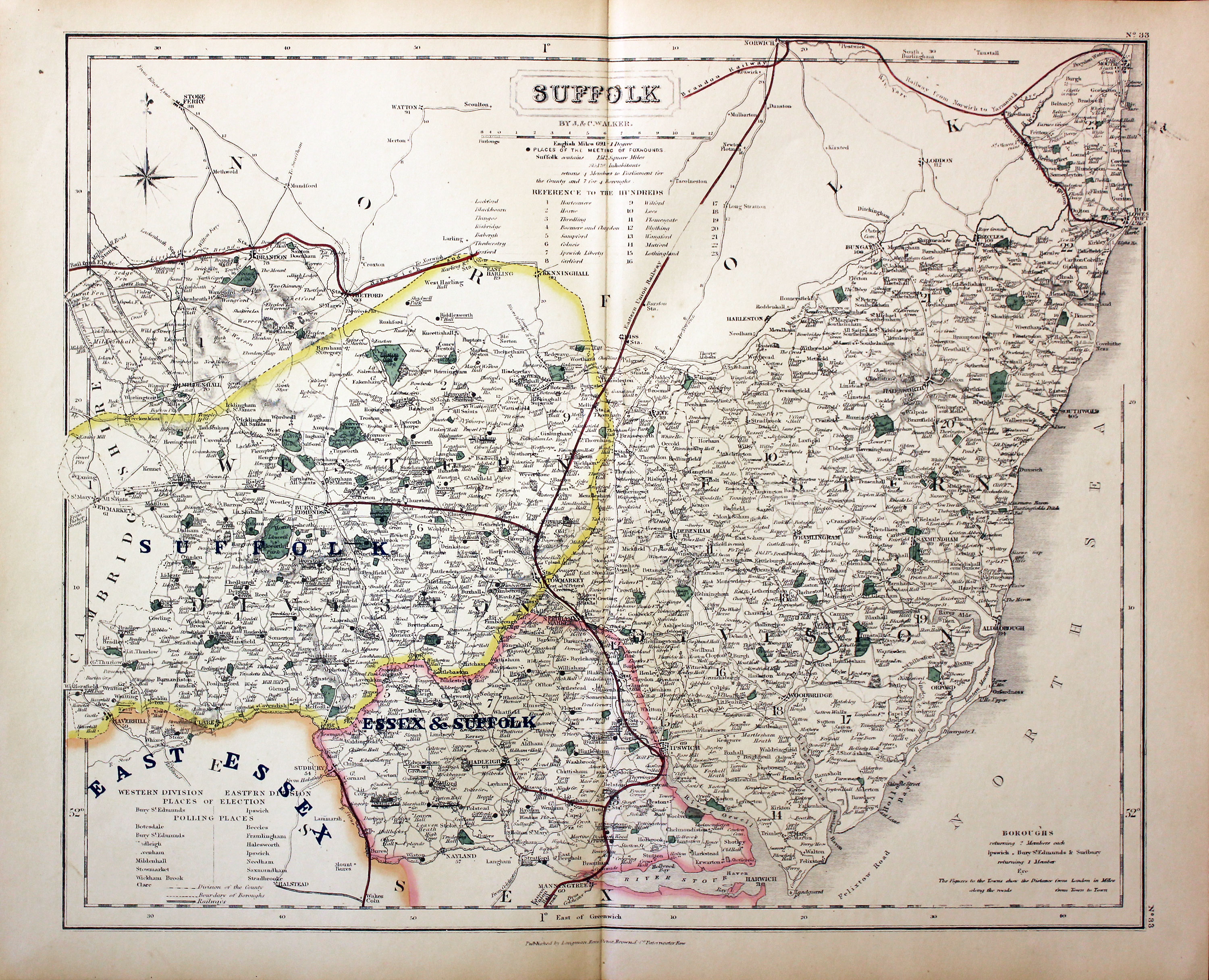
Suffolk - Fox Hunting, John and Charles Walker, 1851


31062 Suffolk known for Fox Hunting, John and Charles Walker, 1851. Price: 46.00
SUFFOLK
A good detailed lithograph map of the county from Hobson's Fox Hunting Atlas showing the places of the Meeting of the Hounds. 15 1/2 x 12 1/2 inches. Published by Longman, Rees, Orme, Brown and Co. Paternoster Row, London. Original outline hand colouring. Fine condition. Straight from the atlas so has not been sold as a single map before.
Shows Suffolk, Essex and Suffolk and part of East Essex Hunts
Provenance: George Hayhurst - Royal Fusiliers and Henry H. France
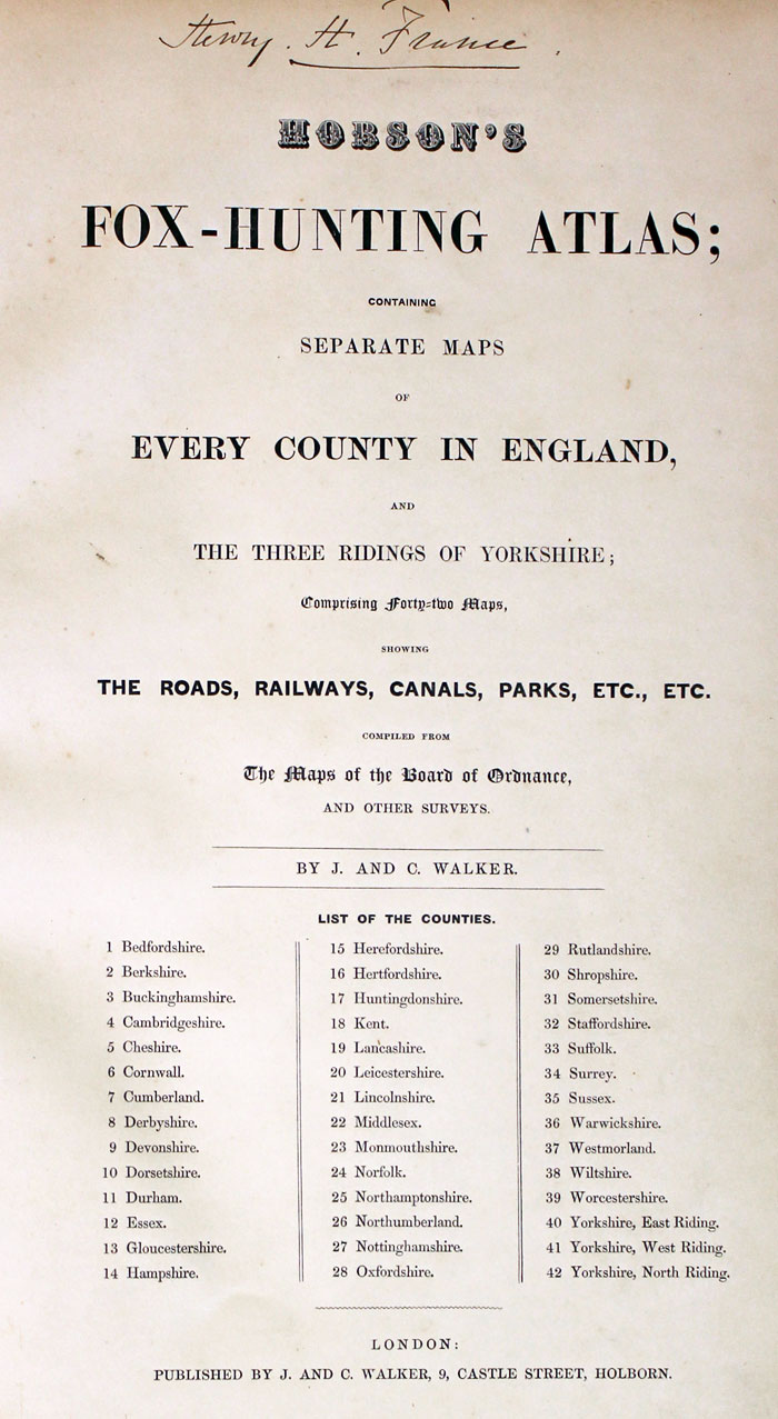
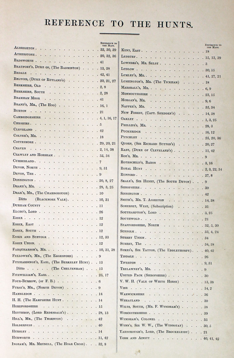
Title Page and List of Hunts
-
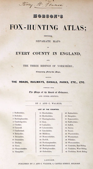
Hobson Fox Hunting Atlas Titlepage
-
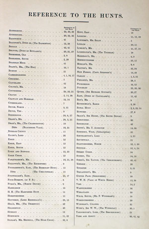
Hobsons Fox Hunting Atlas List of Hunts
An 18th Century Traveller's Map of Suffolk
-
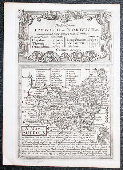
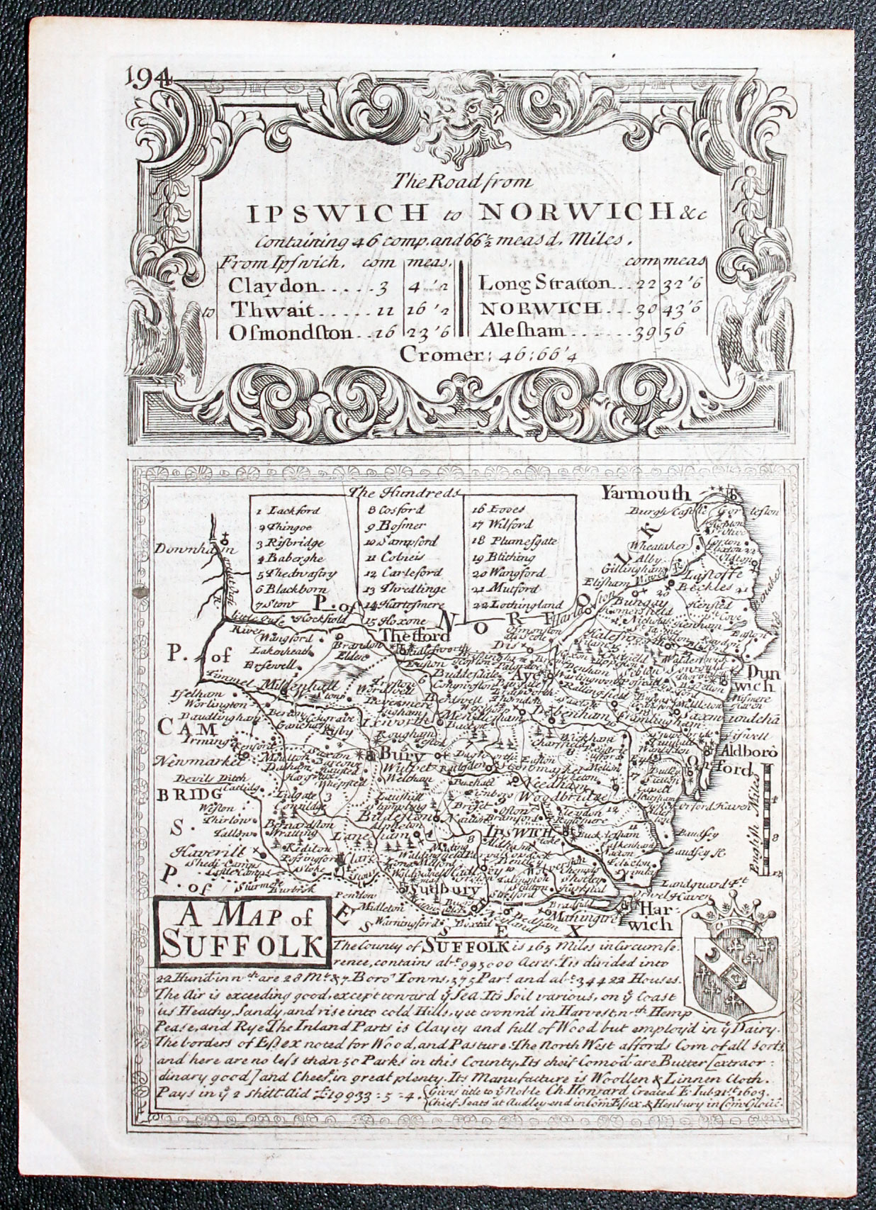
Map of Suffolk by John Owen and EmanuelBowen 1753
-
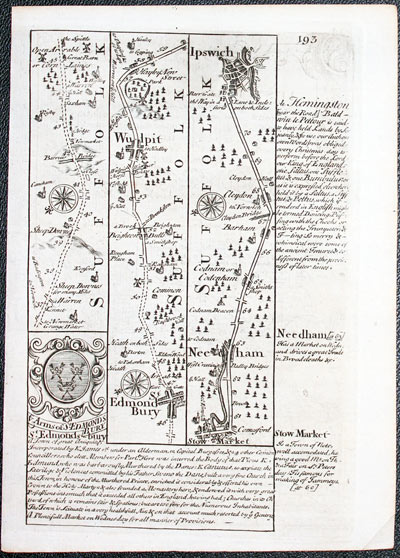
Road map Bury St.Edmunds to Ipswich by John Owen and EmanuelBowen 1753
32464 Suffolk County Map plus Roads, John Owen and Emanuel Bowem 1753. Price: 46.00
A MAP OF SUFFOLK
A county map surmounted by a baroque cartouche titled The Road from Ipswich to Norwich. Panel beneath with title, description and coat of arms. Road map on verso from Bury St. Edmunds to Ipswich. 4 x 7 1/4 inches. Uncoloured. Good condition. This map has been taken straight from the atlas and therefore not previously been offered as a single map.
From: Britannia Depicta


PROVENANCE
At some time part of the Townsend Family library
Late 18th Century - Early Hand Colouring
-
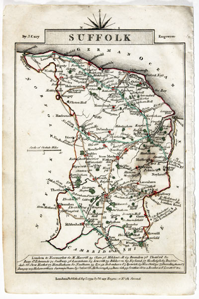
Map of Suffolk, John Cary, 1792
32585 Suffolk, John Cary, 1792. Price: 5.00
SUFFOLK
A small engraved map of the county. Tile panel surmounted by half compass rose. Panel at bottom with list of distances from London. Publisher’s imprint beneath dated 1792. 3 1/2 x 4 3/4 inches. Thin paper. Original outline hand colouring. Grease mark on the right hand side of the map.
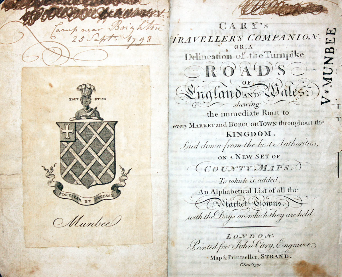
From: Cary’s Traveller’s Companion
Titlep age dated 1791, maps dated 1792. The atlas was formerly in the Mumbee family library - title page stamped V. Munbee
Provenance
-
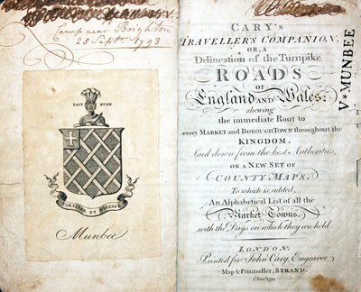
Cary Titlepage and Munbee Bookplate

William Camden's Description of Suffolk
-

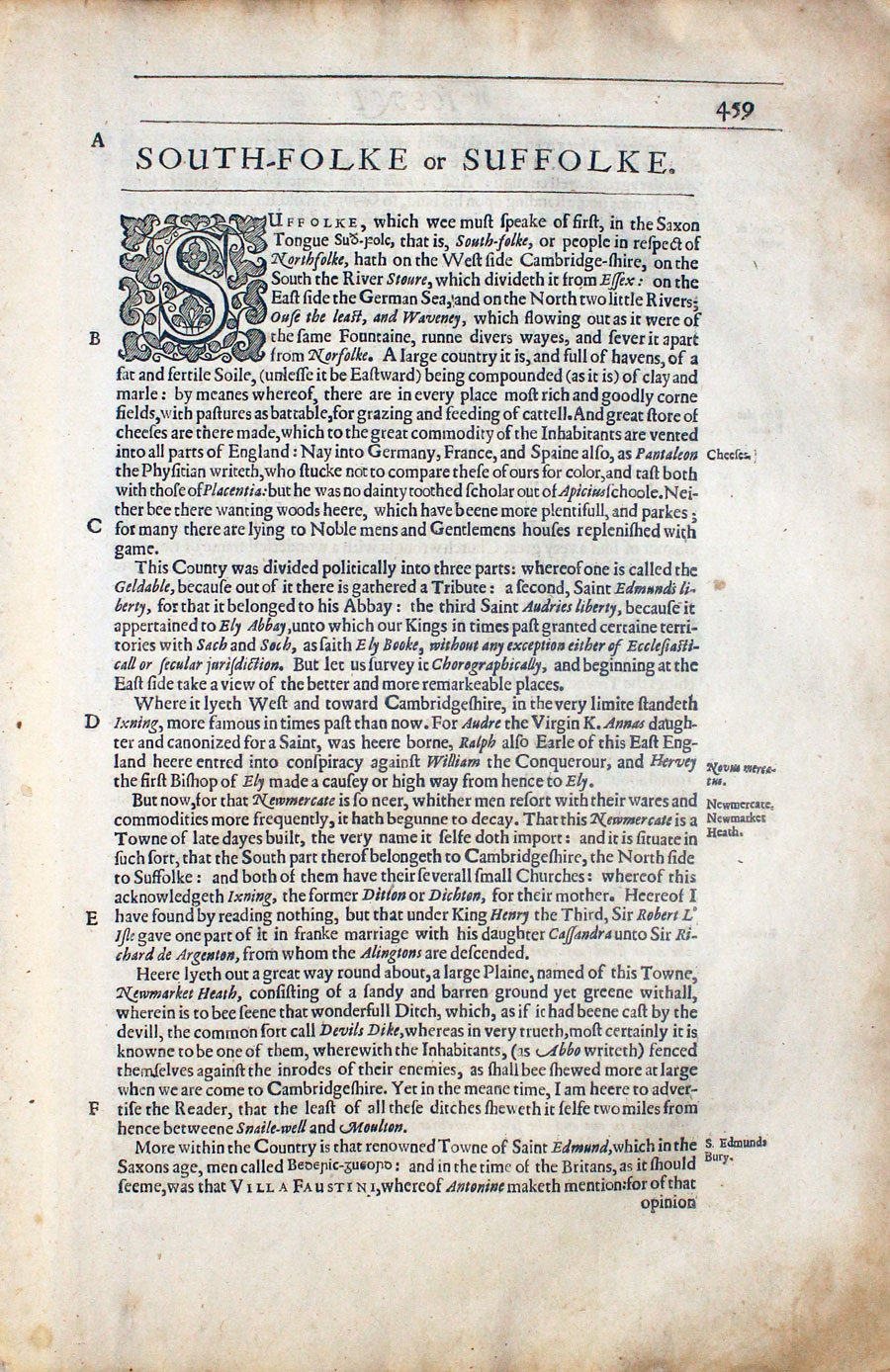
Suffolk Text from Camden's Britannia 1637

32800 Early description of Suffolk, William Camden, 1637. Price: 10.00
SUFFOLK
Pages 459 to 470 inclusive describing the county of Suffolk in English. About 13 x 8 inches. Good condition.
From: Camden’s Britannia
19th Century - Early Hand Colouring
-
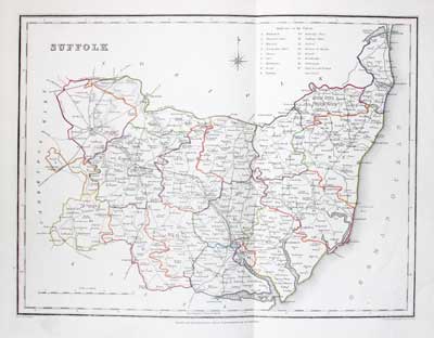
Map of Suffolk, Samuel Lewis 1848

32937 Detailed county map of Suffolk, Samuel Lewis, 1848. Price: 32.00
SUFFOLK
A county map drawn by R. Creighton and engraved by T. Starling. Reference to the Unions. Scale and compass rose. 12 x 9 inches. Original outline hand colouring. Good clean condition. Straight from the atlas and not sold as a single map before now.
From: Lewis' Atlas to the Topographical Dictionaries of England and Wales
19th Century
-
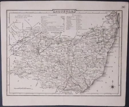
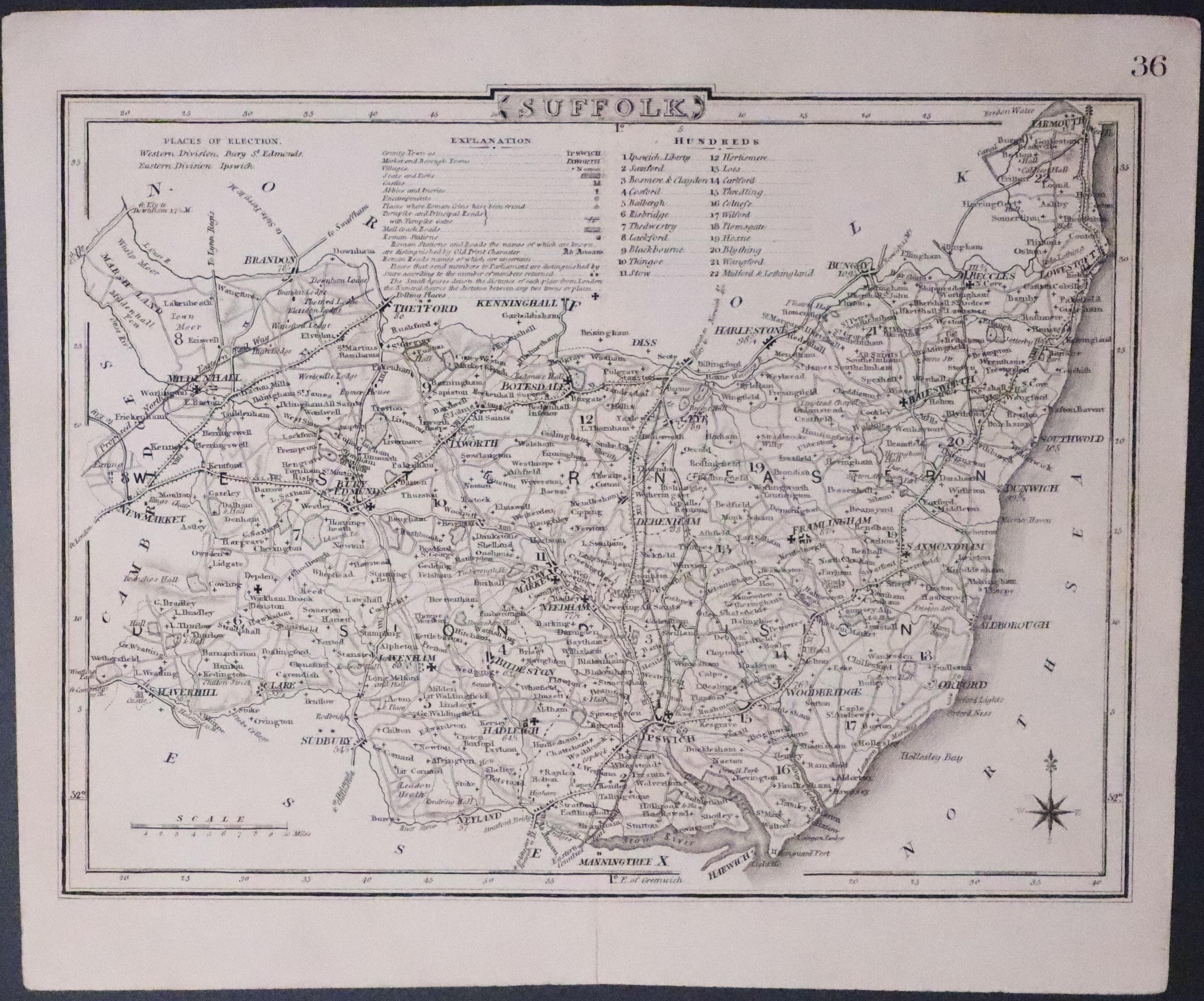
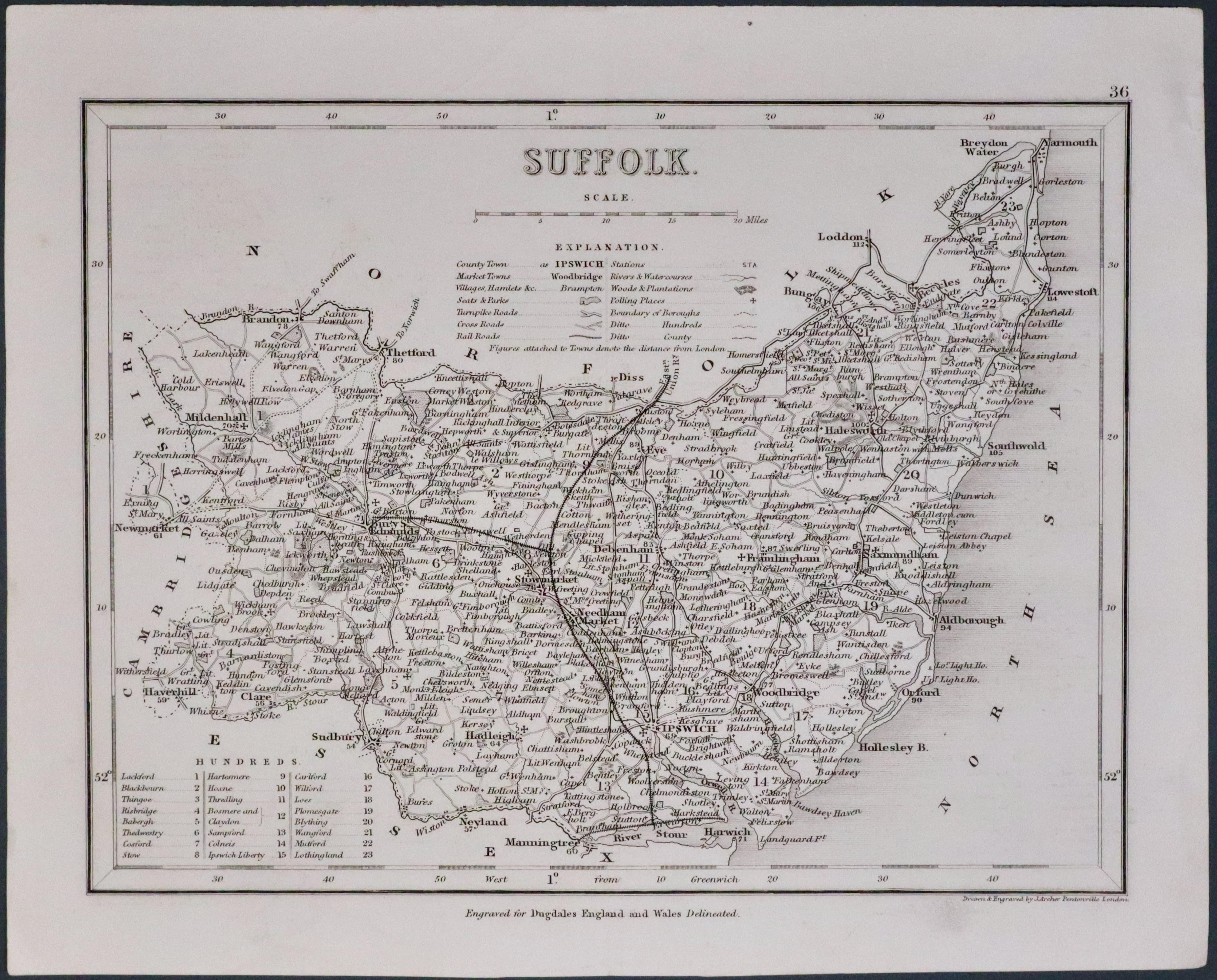
Map of Suffolk, Cole/Roper

33267 Early hand coloured map of Suffolk, Cole & Roper, c.1840. Price: 14.00
SUFFOLK
The later edition of this detailed engraved map of the county divided into hundreds. Explanation. Printed number 36 in the top right hand margin. 8 3/4 x 6 3/4 inches. Good condition.
From: Dugdale’s Curiosities
19th Century

33303 Decorative Victorian map of Suffolk, Thomas Moule, c.1850. Price: 27.00
SUFFOLK
A decorative Victorian map of the county including some railways. The map is set within a fine border incorporating architectural pillars and gothic arch. Embellished with views of Euston Hall and Heveningham Hall. Farm implements. Central title with coat of arms and five other coats of arms. 10 1/4 x 7 1/2 inches. Uncoloured. Single tear in the top blank margin, repaired, which just reaches the engraved area. Otherwise nice clean condition.
From: Barclay's Dictionary.
18th Century - First Edition
-

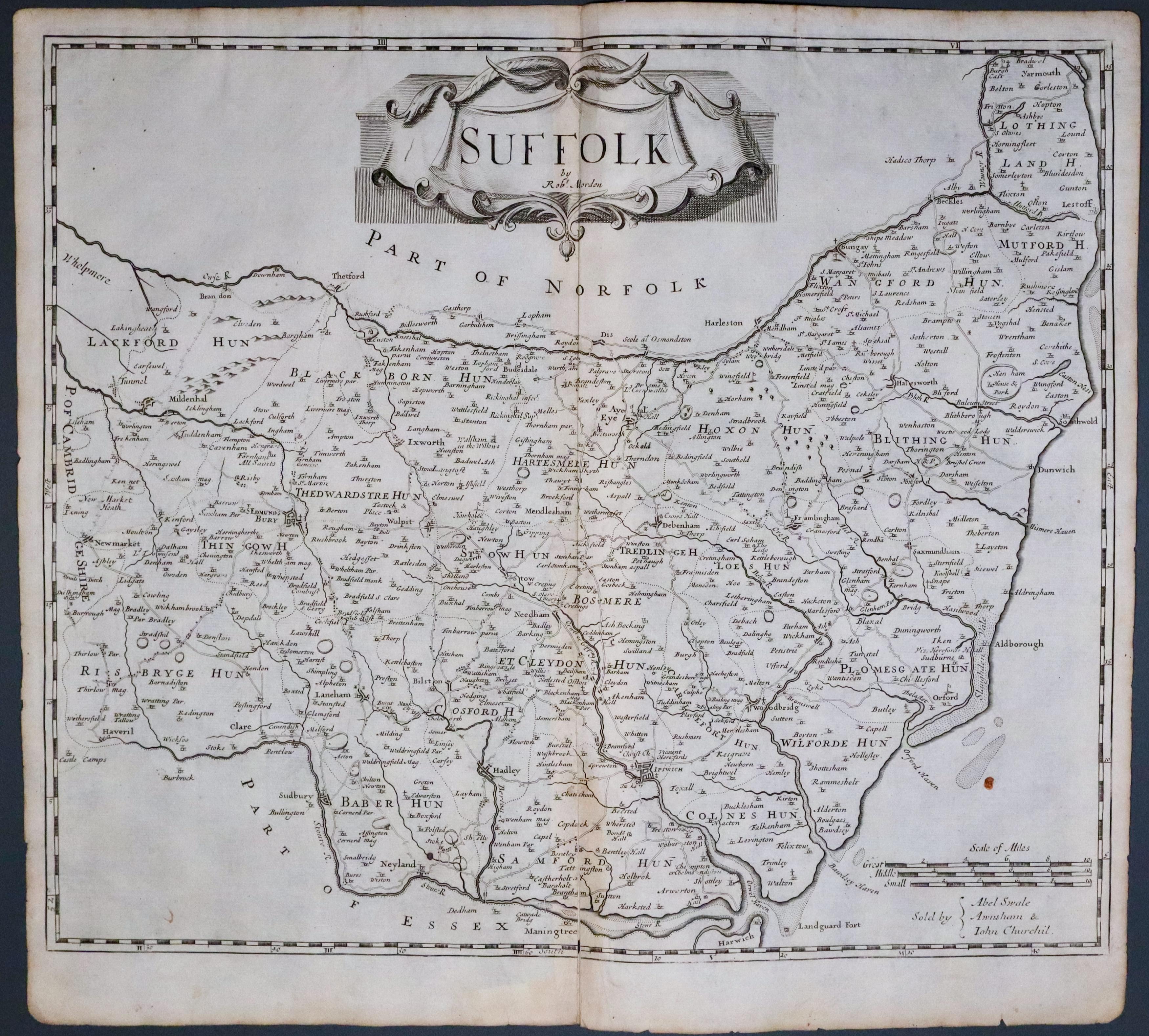
Suffolk, Robert Morden 1695
33494 Suffolk Robert Morden 1695. Price: 87.00
SUFFOLK BY ROBT. MORDEN
The FIRST EDITION of this good engraved map of the county embellished with a decorative title cartouche. Three scales. Imprint of the publishers Abel Swale with Awnsham and John Churchill. 16 1/2 x 14 inches, 415 x 345 mm. Original centre fold. Uncoloured. A very nice dark impression. 2 inch split at the bottom of the centre fold and a small slit near the to of the centre fold repaired otherwise good condition. This map has been taken straight from the atlas and therefore not previously offered for sale as a single map. One of the first maps of the county to show the main coach roads following Ogilby’s survey some 20 years earlier.
From: Camden's Britannia
19th Century - Shows the Railways
-

Suffolk, Joshua Archer c.1945
33549 Suffolk, Joshua Archer, c.1845. Price: 19.00
SUFFOLK
An engraved map of the county which includes the railways. Title, scale and list of hundreds. 9 1/4 x 7 inches. Uncoloured. Original centre fold. Good condition.
From: Dugdales England and Wales Delineated


