Antique Maps of
The Black Sea & Crimea
Richard Nicholson of Chester
A World of Antique Maps and Prints
Established in 1961
All the Maps on this page are guaranteed to be genuine early specimens
pubished in or around the year stated
18th Century - Early Hand Colouring
-

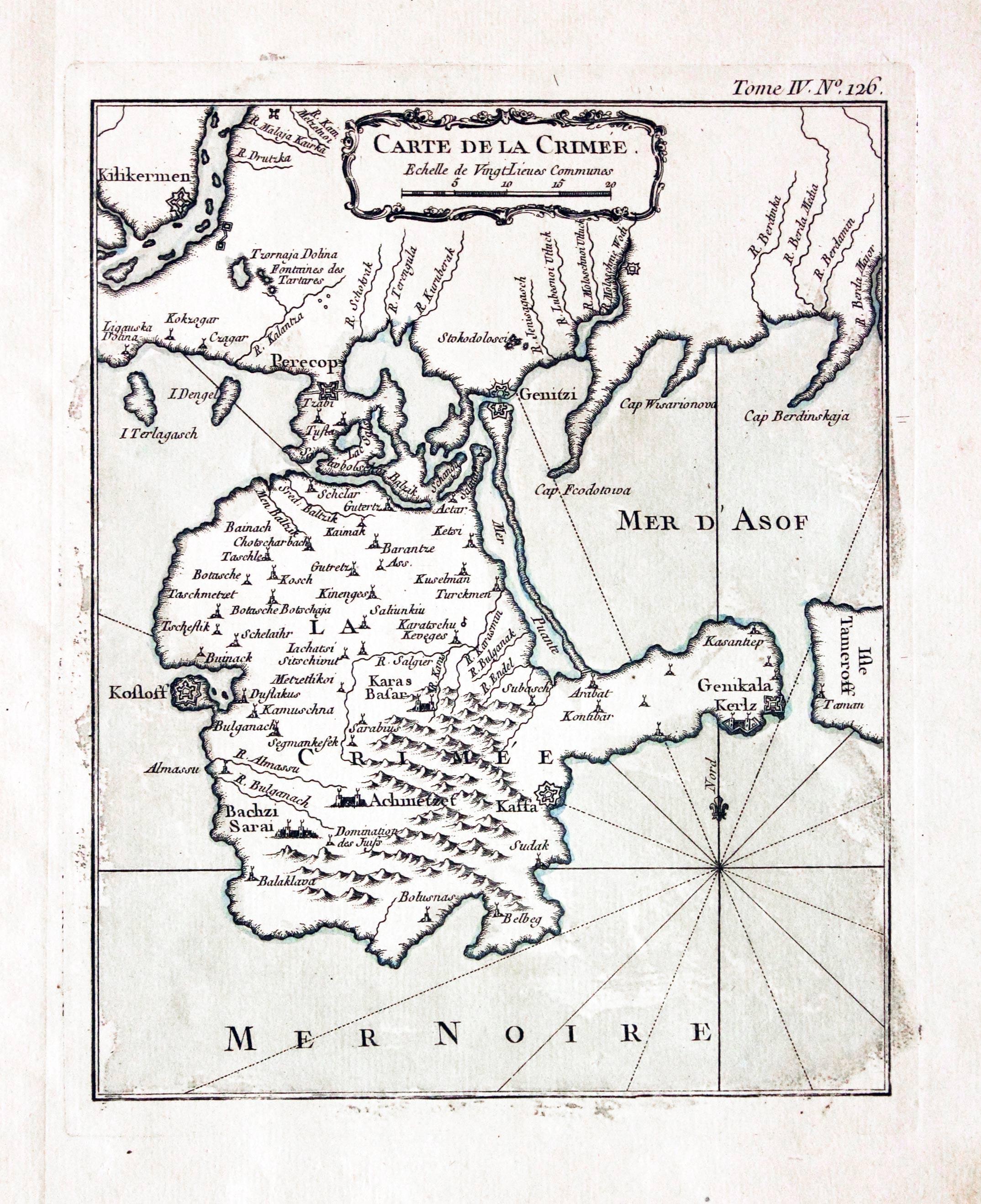
Crimea, Jacques Nicolas Bellin, 1764
7126 Crimea, Jacques Nicolas Bellin, 1764. Price: 62.00
CARTE DE LA CRIMEE
An engraved map embellished with an uncoloured rococo cartouche. 7 x 8 inches, 170 x 215 mm. Original blue outline and wash colouring. Straight from the atlas. Good condition.
From: Le Petit Atlas Maritime
Antique Maps of the Black Sea and Crimea


