Antique Maps of Ancona, Ferrara, Genoa and Lazio
Richard Nicholson of Chester

Established in 1961
A World of Antique Maps and Prints

The maps on this page are guaranteed to be genuine early specimens published in or around the year stated
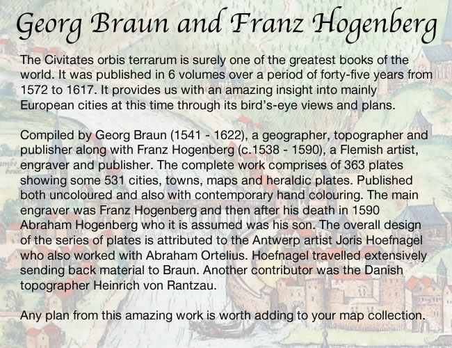
ANCONA
16th Century - Town Plan
-

Ancona, Georg Braun and Franz Hogenberg, c.1590

23347 Ancona, Georg Braun and Franz Hogenberg, c.1590. Price: 320.00
ANCONA CIVITAS...
A fine late 16th century bird's eye view plan of the town and port. Central decorative title cartouche flanked on two sides by a key listing places of interest. Many ships. 19 x 13 1/4 inches. 18 3/4 x 13 1/4 inches. Uncoloured. Good condition.
From: Civitates Orbis Terrarum
APULIA
17th Century
-

Trementi Islands, Joan Blaeu, c.1669

23391 Trementi Islands, Joan Blaeu, c.1669. Price: 230.00
INSULAE TREEITANAE OLIM DIOMEDEAE DICTAE
An impressive bird’s eye view map of this group of islands embellished with cartouche, compass rose and ships.19 1/2 x 15 inches. Uncoloured. Large blank margins. Spanish text on verso. Good condition.
18th Century - Sea Chart
-

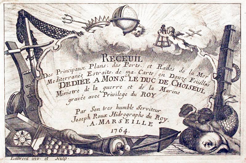
Taranto, Joseph Roux, 1764

27918 Taranto, Joseph Roux, 1764. Price: 45.00
PORTE DE TARANTE
A small engraved chart showing the town and harbour of Taranto in Apulia in Southern Italy. Shows the depth soundings and anchorage points. 7 1/2 x 5 inches. Uncoloured. Lightly toned all over. Good condition.
Plate 57 From: Receuil Des Principaux Plans; des Ports, et Rades de la Mer Mediterranée, Estraits, de ma. Carte Douze Feüilles.... Marselle 1764
18th Century - Sea Chart
-

Brindisi, Joseph Roux, 1764

27920 Brindisi, Joseph Roux, 1764. Price: 52.00
PLAN DU PORT ET DE LA VILLE DE BRINDISI
A small engraved chart showing the bay and entrance to the harbour of Brindisi. Shows the depth soundings and anchorage points. 7 1/2 x 5 inches. Uncoloured. Good condition.
Plate 64 From: Receuil Des Principaux Plans; des Ports, et Rades de la Mer Mediterranée, Estraits, de ma. Carte Douze Feüilles.... Marselle 1764
CREMONA
17th Century
-

Crema and Cadore, Jan Jansson, 1647

32013 Crema and Cadore, Jan Jansson, 1647. Price: 120.0
TERRITORIO CREMASCO / IL CADARINO
Two maps on one sheet. The left hand side map is of the region of Crema in the northern Italian province of Cremona. The right hand side map shows the historical region of Cadore in the Province of Belluno bordering Austria and Friuli-Venezia. Together they measure 19 1/2 x 15 inches. Uncoloured. Original centre fold. Dutch text on verso. Good A little light damp staining across the four blank border corners and three small tears on the edges of the wide blank margins. Otherwise good clean condition. This map has come straight from the atlas and been sold previously as a single map.
From: Nieuwen Atlas, Ofte Weerelt-Beschrijvinghe
EMILIA-ROMAGNA
17th Century - Early Hand Colouring
-

Parma and Piacenza, W. J. Blaeu, 1644

23363 Parma and Piacenza, W. J. Blaeu, 1644. Price: 235.00
DUCATO DI PARMA ET DI PIACENZA
A good engraved 17th century map of the region including Cremona, Piacenza and Parma. Decorative title cartouche with a farmer and his animals. Scale cartouche. 19 1/5 x 15 inches. French text on verso. Original hand colouring. Good condition.
Small Version of a Mercator Map
-

Bologne, G. Mercator, c.1630

30471 Bologne, G. Mercator, c.1630. Price: 34.00
TERRITORIUM BONONIENSE IL BOLOGNESE
A small early engraved map centred on Bologna. Extends to include Ferrara and Modena. Decorative title and scale cartouches. 8 x 6 inches. Hand coloured. Lightly browned area which has been open to the light with the map having been mounted in the past. Some foxing around the edges. Traces of brown paper on verso where the map has been attached in a sunk mount. Small repair on verso in the bottom right hand corner. Small wear hole in the blank margin. German text on verso.
From: Mercator’s Atlas Minor
GENOA
18th Century - Sea Chart
-

Genoa, Joseph Roux, 1764

27880 Genoa, Joseph Roux, 1764. Price: 65.00
GENES
A small engraved chart showing the entrance to the harbour with scale. Depth soundings and anchorage points. 7 1/2 x 5 inches. Uncoloured. Good condition.
Plate 28 From: Receuil Des Principaux Plans; des Ports, et Rades de la Mer Mediterranée, Estraits, de ma. Carte Douze Feüilles.... Marselle 1764
LAZIO or LATIUM
18th Century - Sea Chart
-

Civitavechia, Joseph Roux, 1764

27884 Civitavechia, Joseph Roux, 1764. Price: 57.00
CIVITAVECHIA
A small engraved chart showing the entrance to the harbour with scale. Depth soundings and anchorage points. 7 1/2 x 5 inches. Uncoloured. Good condition.
Plate 32 From: Receuil Des Principaux Plans; des Ports, et Rades de la Mer Mediterranée, Estraits, de ma. Carte Douze Feüilles.... Marselle 1764
18th Century - Sea Chart
-

Gaeta, Italy Joseph Roux, 1764

27885 Gaeta, Joseph Roux, 1764. Price: 45.00
VILLE ET BAYE DE GAYETTE
A small engraved chart showing the town and harbour of Gaeta with the bay. with scale. 7 1/2 x 5 inches. Uncoloured. Good condition.
Plate 33 From: Receuil Des Principaux Plans; des Ports, et Rades de la Mer Mediterranée, Estraits, de ma. Carte Douze Feüilles.... Marselle 1764
19th Century - Town Plan
-

Rome, Archibald Fullarton, c.1895

31133 Rome, Archibald Fullarton, c.1895. Price: 14.00
ROME WITH ITS ENVIRONS ACCOORDING TO THE SURVEYS OF BARON MOLTKE
A colour lithograph drawn by Agustus Petermann F.R.G.S and engraved by G. H. Swanston. Two keys. One listing 111 places and the second 30 places. Lost of Ancient names and Descriptive words. 5 1/2 x 9 1/4 inches. Good clean condition.
18th Century
-

Gaeta, Michet & Bremond c.1730

33156 Gaeta, H. Michelot and L. Bremond, c.1730. Price: 130.00
PLAN DE LA VILLE ET BAY DE GAYETTE.... 1730
An interesting chart of of the peninsula with the coastal city of Gaeta south of Rome. Now the home of the Monte Orlando Park with Roman ruins. Orientated with north at the top. Compass rose with rhumb lines. Scale. 9 3/4 x 7 inches. Hand coloured. Good clean undamaged condition.
From: Recueil de Plusieurs Plans des Ports et Rades de la Mediterranean
19th Century Town Plan
-

Plan of Rome c.1830 by the SDUK

33752 Modern Rome, S.D.U.K. c.1830. Price: 105.00
PLAN OF MODERN ROME BY W. B. CLARKE, ARCHT.
An interesting engraved plan of the city with images of buildings across the base showing the elevations of twelve outstanding classical building indicating their respective heights. The city was divided into 14 districts and these are listed on the left hand side of the plan with a key to the places of interest in each district. Imprint of Baldwin & Craddock dated 1830 below. 14 3/4 x 11 3/4 inches. Original outline hand colouring. Good clean fresh condition.
From: Maps of the Society of the Diffusion of Useful Knowledge

RICHARD NICHOLSON
of CHESTER
Stoneydale
Pepper Street
Christleton
Chester
CH3 7AG
Telephone
01244 336004
International 44 1244 336004

I have been buying and selling antique maps since the early 1960's during which time I had a gallery in Watergate Street, Chester for 30 years. I am now able to offer through my websites a personal service to map and print collectors.

