Antique Maps of the
Ukraine, Black Sea & Crimea
Richard Nicholson of Chester

Established in 1961
A World of Antique Maps and Prints
The maps on this page are guaranteed to be genuine early specimens published in or around the year stated
Late 18th Century
-

Map of Part of Ukraine and Russia, Franz Johann Josph von Reilly 1789

24023 Part of Ukraine, Franz Johann Joseph von Reilly, 1789. Price: 70.00
DES RUSSISCHEN REICHES STATTHALTERSCHAFTEN WORONESCH, BELGOROD KIO O. KLEINRUSSLAND UND CHARKOW OD. D. RUSSISCHE UKRAINE NRO. 63
An engraved maps showing parts of Russia and Ukraine with Kharkiv. Rococo title cartouche. Two scales. Uncoloured. 10 3/4 x 8 inches. Wide blank margins. Fine clean crisp condition.
From: Schauplatz der funf Theile der Welt
18th Century - Early Hand Colouring
-

Map of Crimea, Jacques Nicolas Bellin, 1764
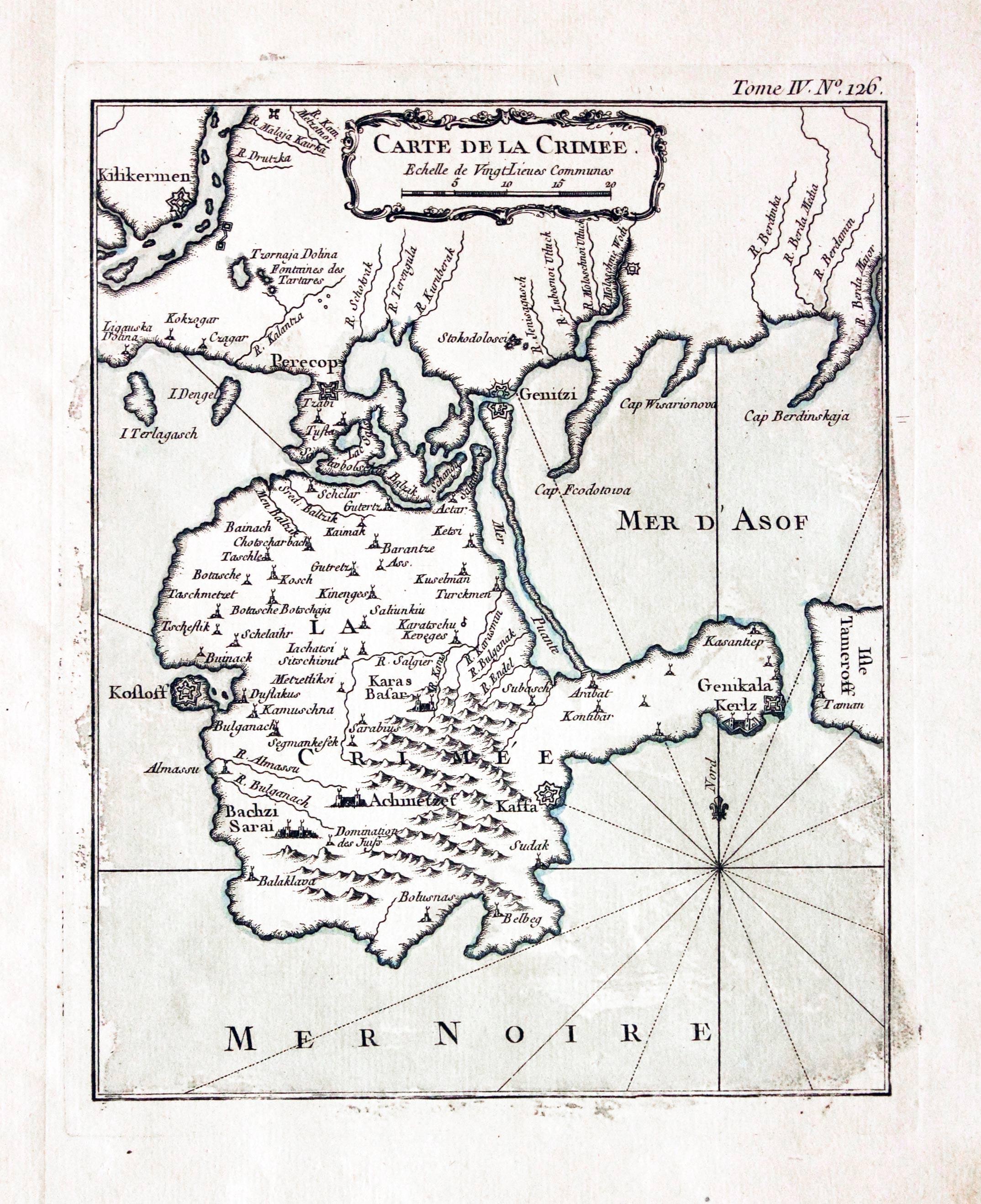
7126 Crimea, Jacques Nicolas Bellin, 1764. Price: 62.00
CARTE DE LA CRIMEE
An engraved map embellished with an uncoloured rococo cartouche. 7 x 8 inches, 170 x 215 mm. Original blue outline and wash colouring. Straight from the atlas. Good condition.
From: Le Petit Atlas Maritime
17th Century
-

Map of Crimea, Pierre du Val 1670
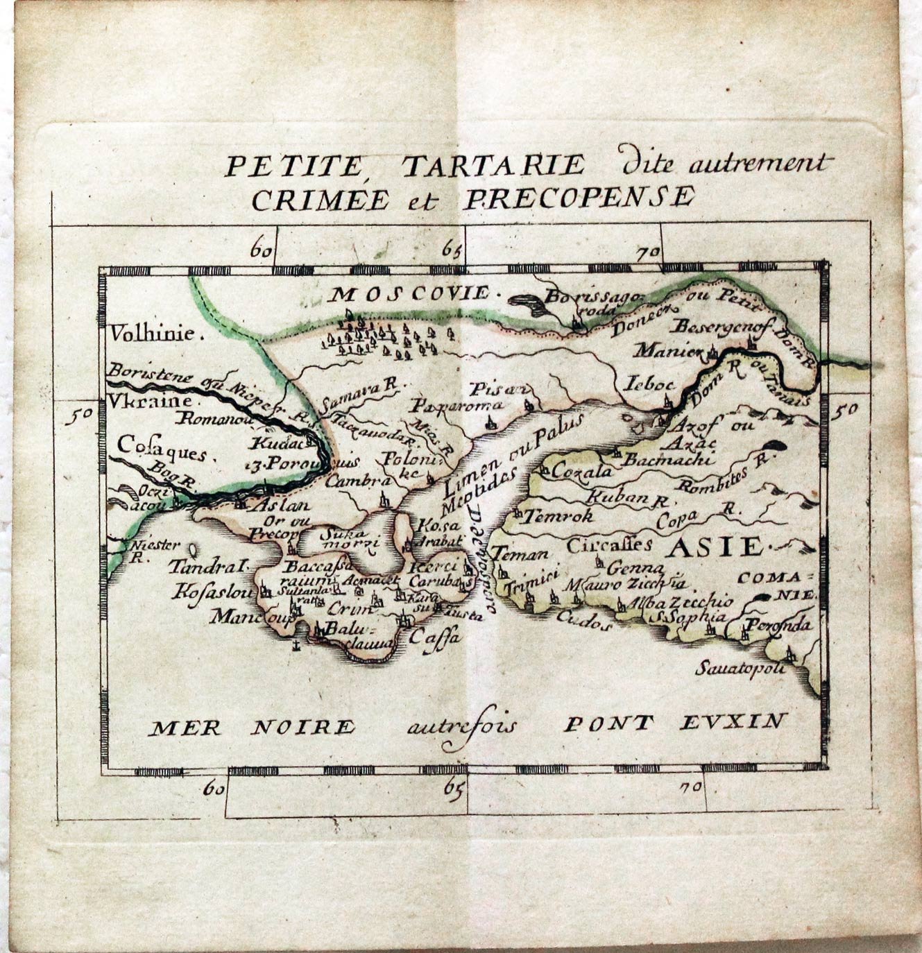
26338 Crimea, Pierre du Val, 1670. Price: 47.00
PETITE, TARTARIE DITE AUTREMENT CRIMEE ET PRECOPENSE
A miniature engraved map of teh region. The title appears above the map. 5 x 3 1/2 inches. Original outline hand colouring. Good condition.
From: Le Monde ou la Geographie Universelle contenant les descriptions les Carres & le Blason des principaux Pais du Monde. Paris 1670.
With this page is the original page from the atlas illustrating the coat of arms of Oetite Tartarie with original hand colouring.

RICHARD NICHOLSON
of CHESTER
Stoneydale
Pepper Street
Christleton
Chester
CH3 7AG
Telephone
01244 336004
International 44 1244 336004

I have been buying and selling antique maps since the early 1960's during which time I had a gallery in Watergate Street, Chester for 30 years. I am now able to offer through my websites a personal service to map and print collectors.

