Antique Maps of Yorkshire
Richard Nicholson of Chester
A World of Antique Maps and Prints
Established in 1961
All the Maps on this page are guaranteed to be genuine early specimens
published in or around the year stated
18th Century Sea Chart
-
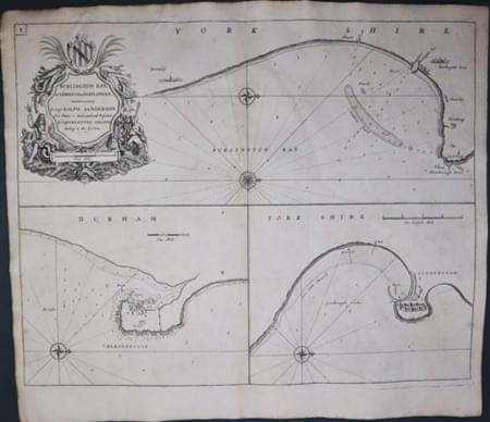
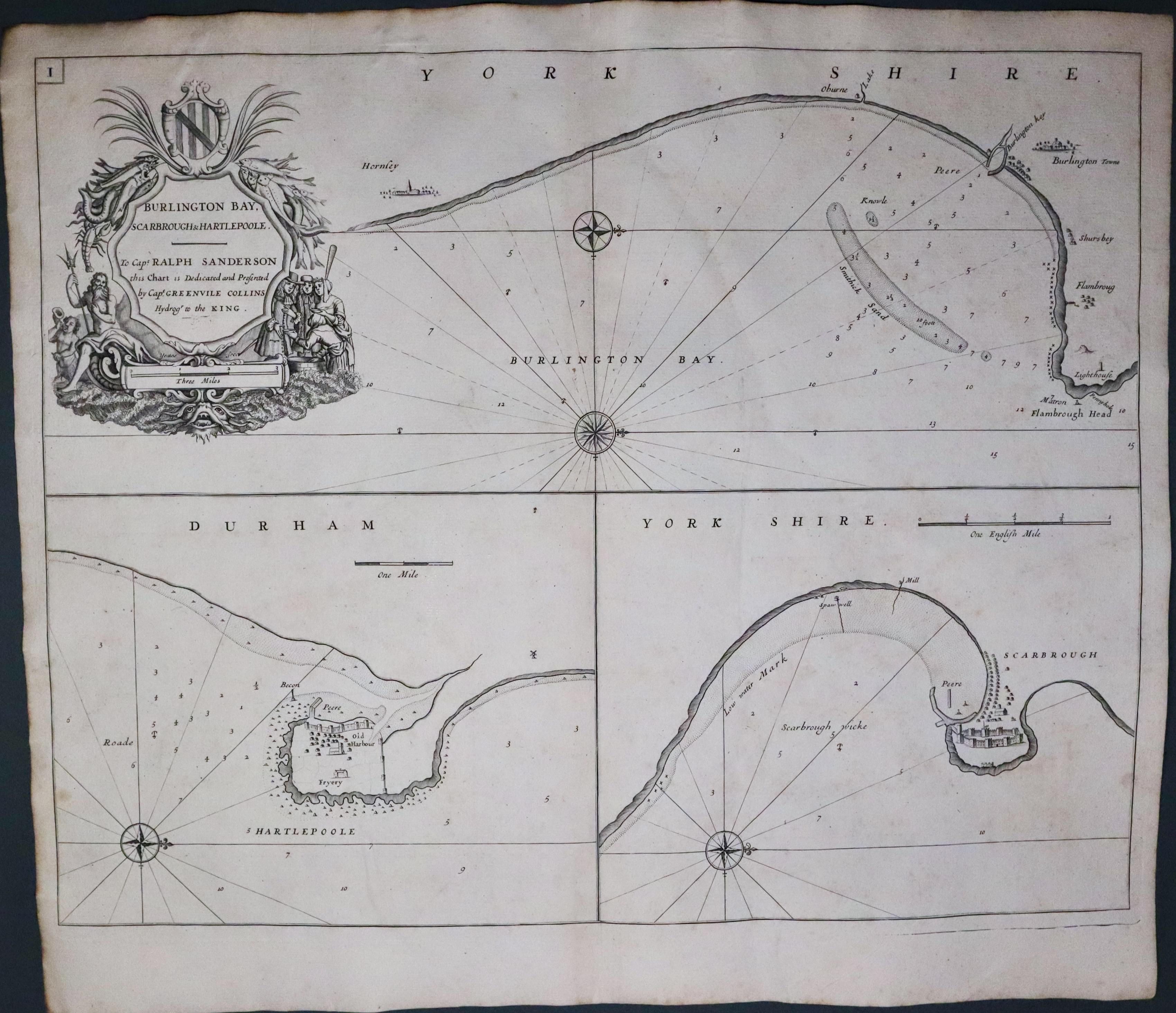
Brislington, Hartlepool & Scarborough, Captain Greenville Collins c.1745
14004 Bridlington, Hartlepool and Scarborough, Capt. Greenville Collins, c.1745. Price: 90.00
BURLINGTON BAY, SCARBROUGH & HARTLEPOOLE
Three charts on one folio sheet. The upper chart is of Bridlington Bay orientated with west at the top and shows the large decorative title cartouche with a dedication to Captain Ralph Sanderson as well as a scale. The lower two charts depict the entrance to Hartlepool and Scarborough each with their own compass rose. In all the chart measures 21 3/4 x 17 3/4 inches. Original centre fold. A little light creasing. Nice heavy paper. Clean condition with no repairs.
From: Great Britain’s Coasting Pilot
Captain Greenville Collins was commissioned by King Charles II to survey the coasts of Britain. This he did between 1681 and 1688 producing some 120 manuscript charts, 48 of them being later engraved for the Coasting Pilot which first appeared in 1693 with later editions up until 1792.

19th Century
-
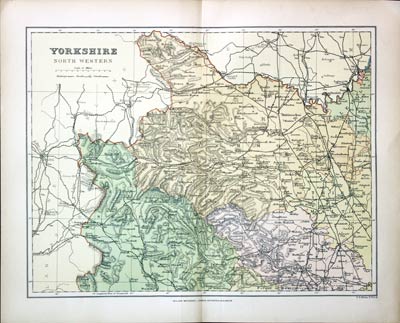
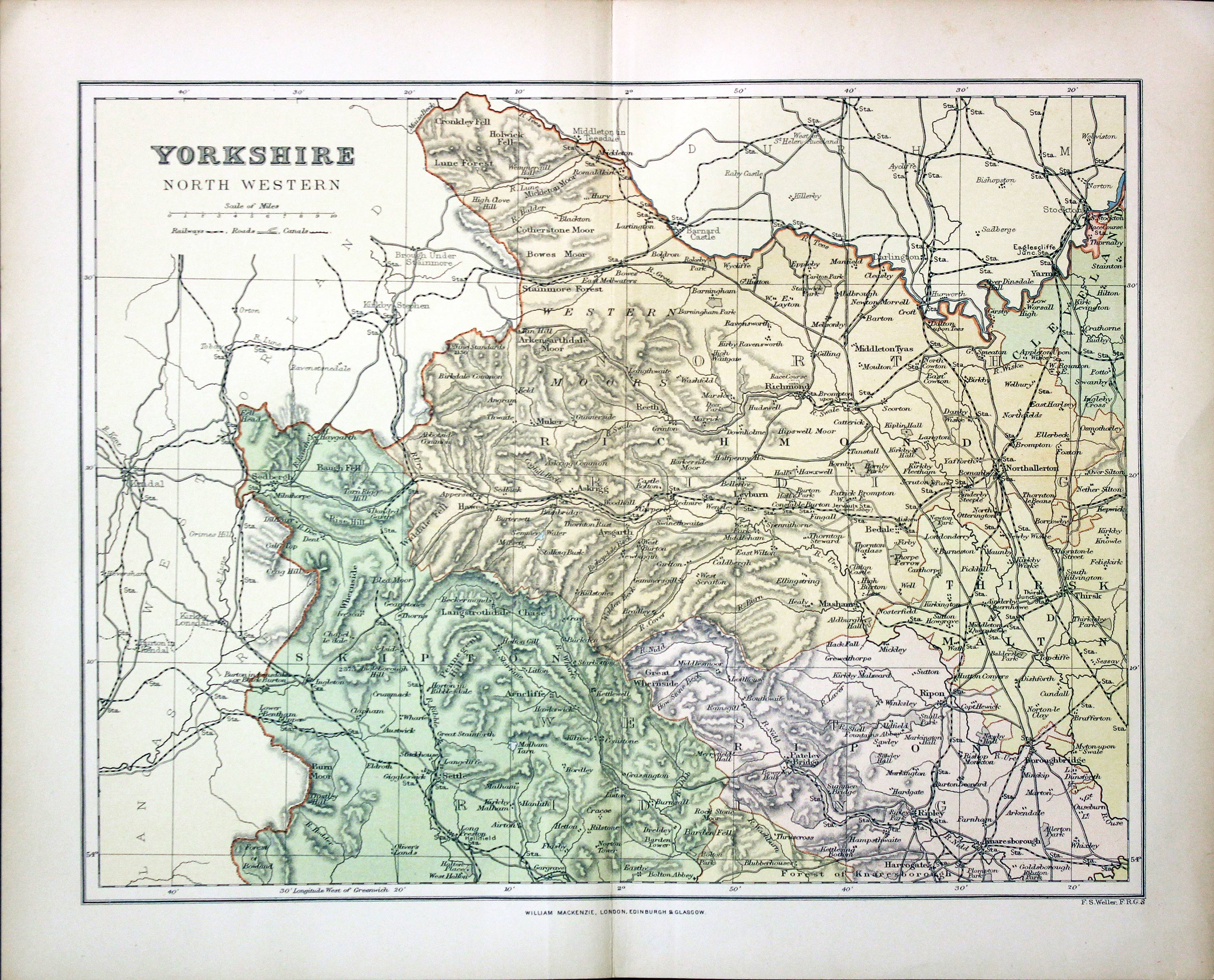
Part of North West Yorkshire, Francis Sydney Weller, c.1898

27295 Part of North West Yorkshire, Francis Sydney Weller, c.1898. Price: 7.00
YORKSHIRE NORTH WESTERN
A colour print lithograph map of south west Yorkshire. Includes the railways at that time. 11 x 8 1/2 inches. Good condition.
From: The Comprehensive Gazetteer of England Walesales
19th Century
-
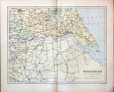
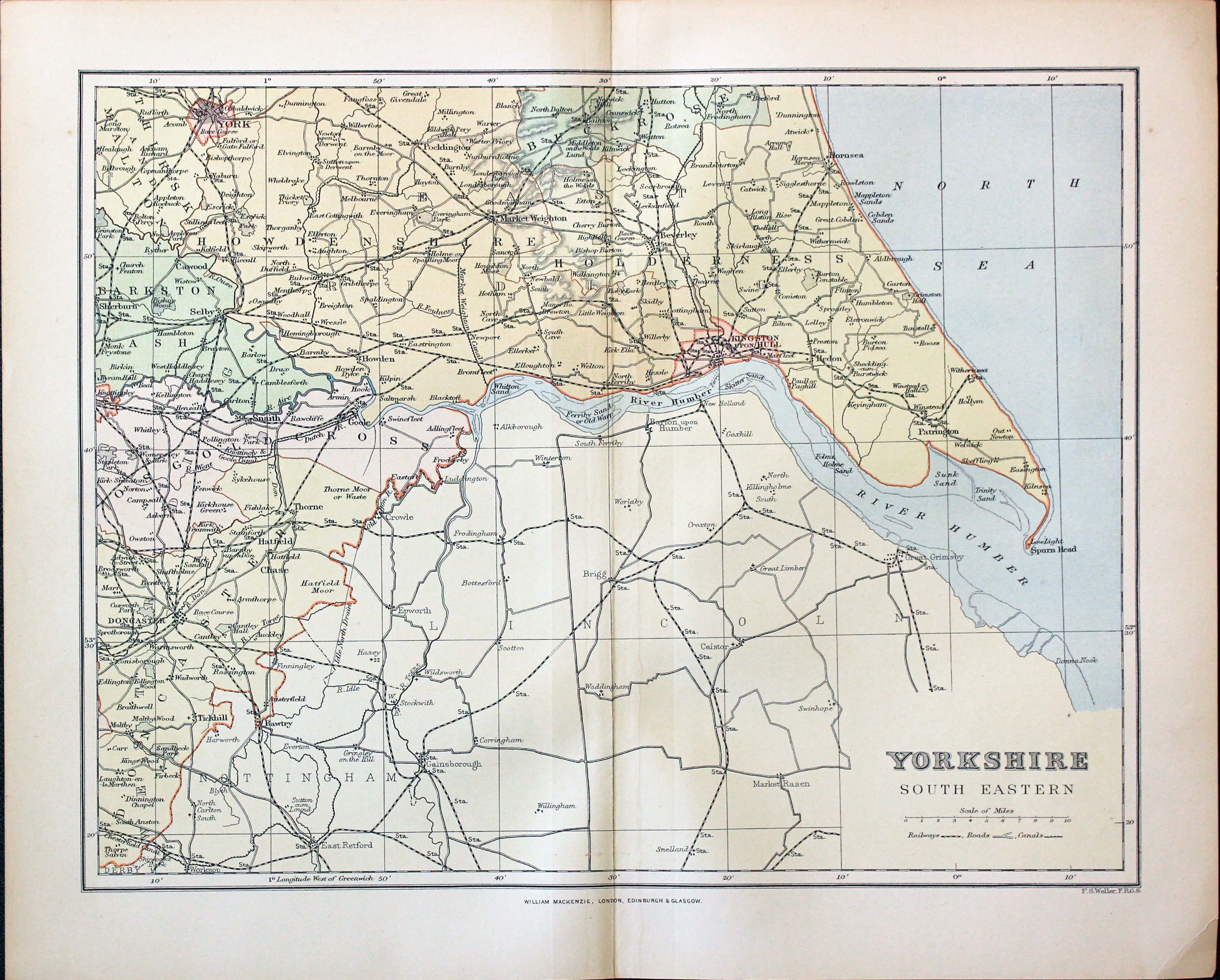
Part of North West Yorkshire, Francis Sydney Weller, c.1898

27299 South East Yorkshire, Francis Sydney Weller, c.1898. Price: 7.00
YORKSHIRE SOUTH EASTERN
A colour print lithograph map of south west Yorkshire. Includes the railways at that time. 11 x 8 1/2 inches. Good condition.
From: From The Comprehensive Gazetteer of England Wales
19th Century - Town Plans
-

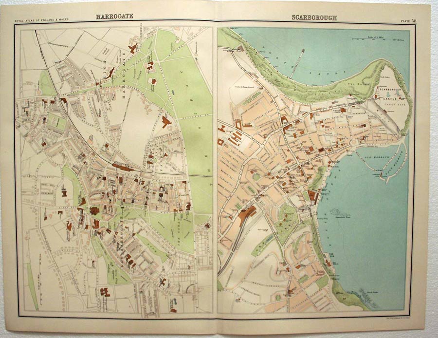
Harrogate / Scarborough, John Bartholomew, c.1895

28175 Harrogate & Scarborough, John Bartholomew, c.1895. Price: 12.50
HARROGATE. SCARBOROUGH
Two good late 19th century detailed colour printed town plans on one sheet. 16 1/2 x 12 3/4 inches. Good clean condition.
From: The Royal Atlas
19th Century
-

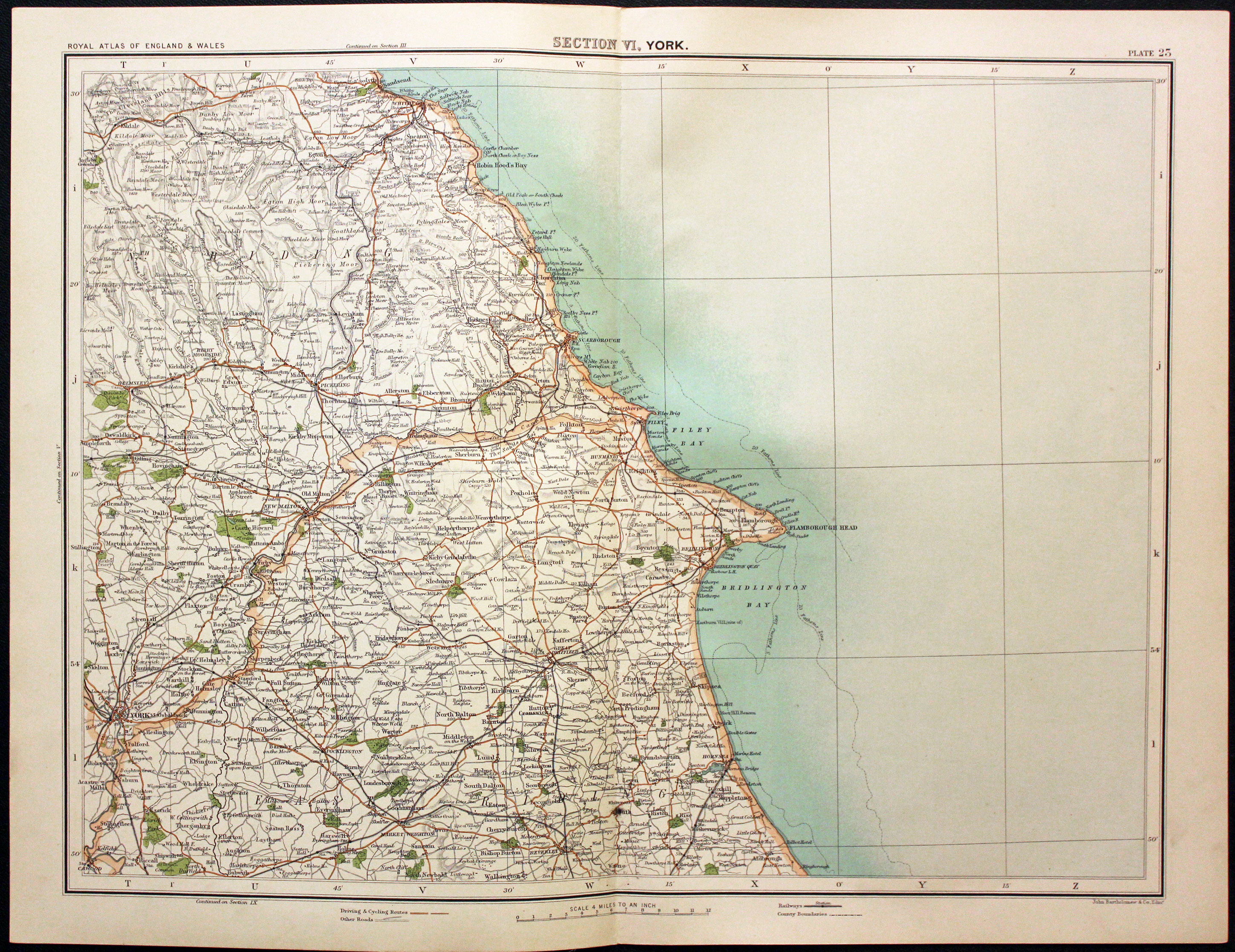
East Yorkshire, John Bartholomew, 1898

30160 East Yorkshire, John Bartholomew, 1898. Price: 8.00
SECTION VI, YORK
A colour printed map showing part of West Yorkshire from Clitheroe and Sedbergh in the west to York and Helmsley in the east with Leeds to the south. Scale of 4 miles to the inch. Shows the railways. 16 1/2 x 12 1/2 inches. Good clean condition.
From: The Royal Atlas
19th Century
-
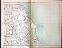
Part of Yorkshire, John Bartholomew, c.1898

30834 Part of Yorkshire, John Bartholomew, c.1898. Price: 19.00
SECTION VI, YORK
A colour printed map showing part of Yorkshire including York, Beverley, Flamborough Head, Scarborough and Whitby. Scale of 4 miles to the inch. Shows the railways. 16 1/2 x 12 1/2 inches. Good clean condition.
From: The Royal Atlas
19th Century
-

Ports and Harbours East Coast of England, Archibald Fullaton 1862

31468 Ports and Harbours East Coast of England, Archibald Fullarton 1862. Price: 50.00
MOUTH OF THE RIVER TYNE, SUNDERLAND, HARTLEPOOL, WHITBY, SCARBOROUGH, GOOLE, HULL, GREAT GRIMSBY, HARWICH
Nine colour printed maps of varying sizes on one sheet. Together they measure 11 1/2 x 16 3/4 inches. GVery sight trimming to the title above the map otherwise good condition.
From: The Royal Illustrated Atlas published by Archibald Fullarton and Company
Late 19th Century - Town Plan
-
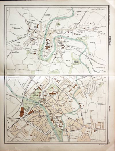
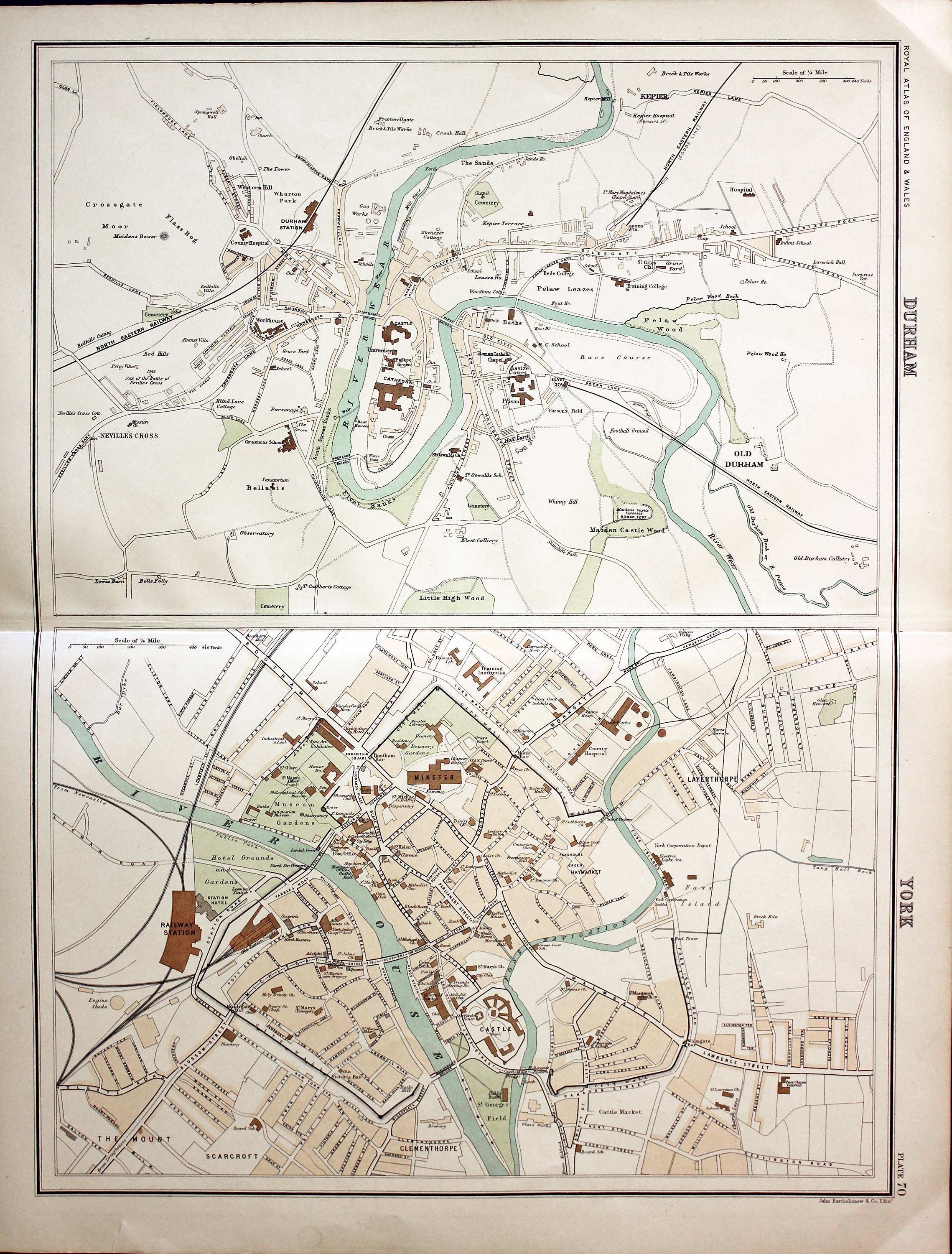
Durham and York, John Bartholomew, c.1895

31469 Durham and York, John Bartholomew, c.1895. Price: 23.00
DURHAM. YORK
Two colour printed town plans on one sheet. Together 16 1/2 x 12 3/4 inches. Good clean condition.
From: The Royal Atlas
18th Century - Early Hand Colouring
-
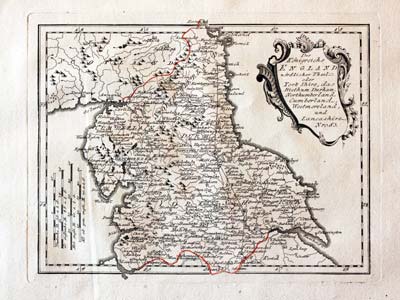
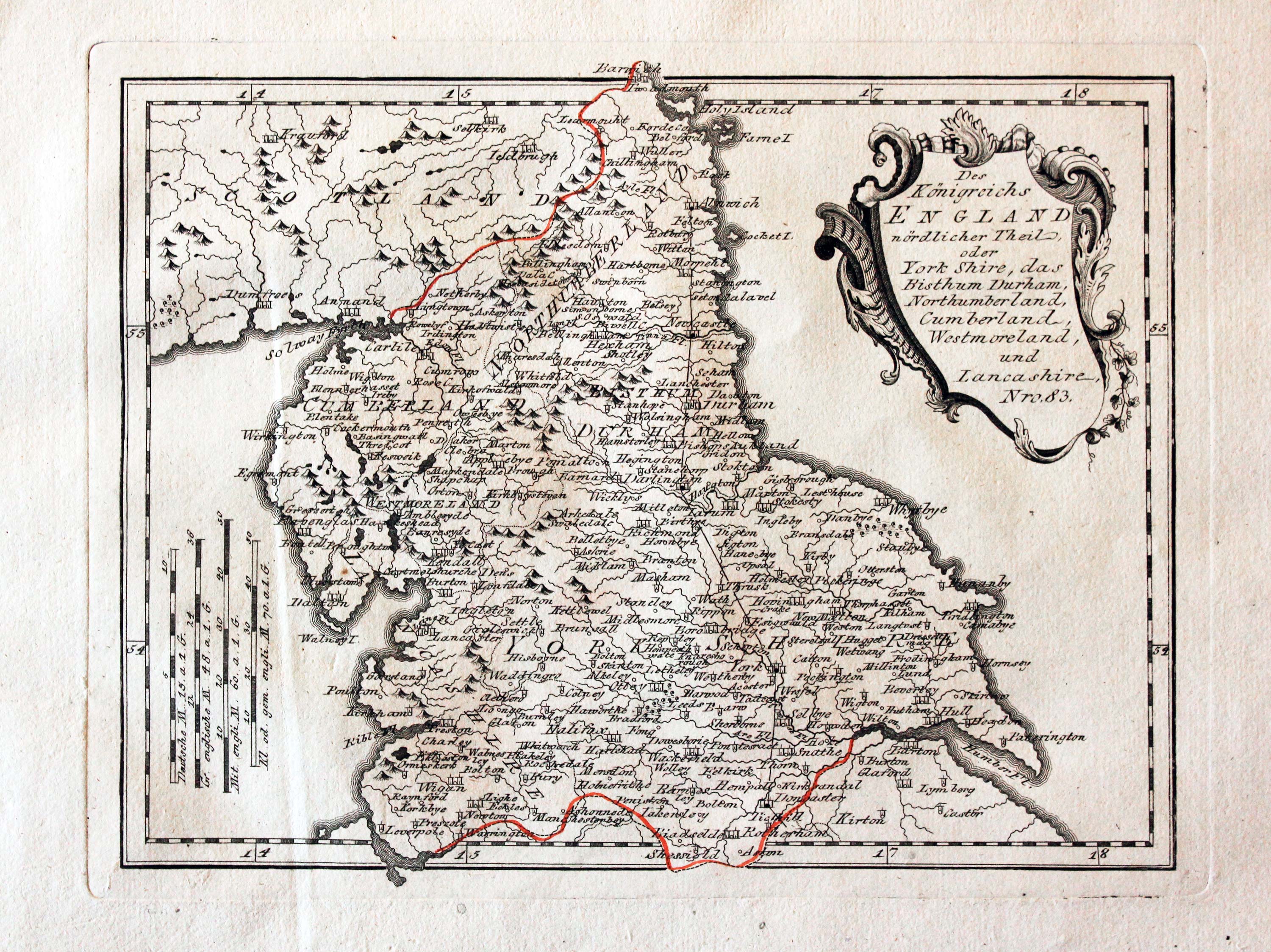
Northern England, von Reilly 1789

24041 Northern England, Franz Joseph von Reilly, 1789. Price: 68.00
Des Konigreichs ENGLAND nordlicker Theil oder York Shire, das Bithum Durham, Northumberland, Cumerland, Westmoreland, und Lancashire. Nro. 83
An engraved map of northern England embellished with a decorative uncoloured title cartouche. 10 3/4 x 8 1/4 inches. Early wash hand colouring. Slight vertical crease on the left hand side otherwise good condition.
From: Schauplatz der funf Theile der Welt
19th Century - Early Hand Colouring
-

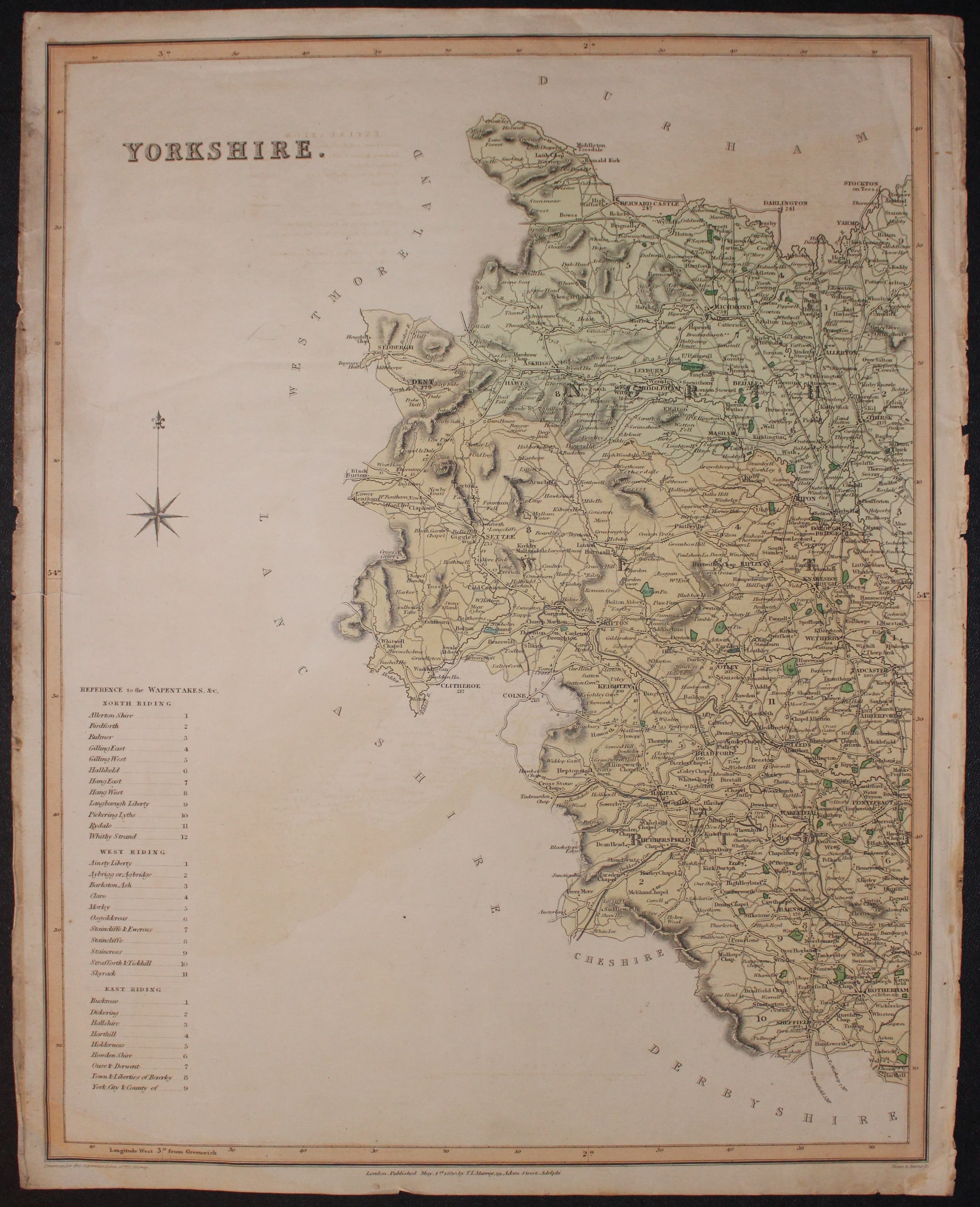
West sheet Yorkshire map by T. L. Murray, 1830
-

East sheet Yorkshire map by T. L. Murray, 1830

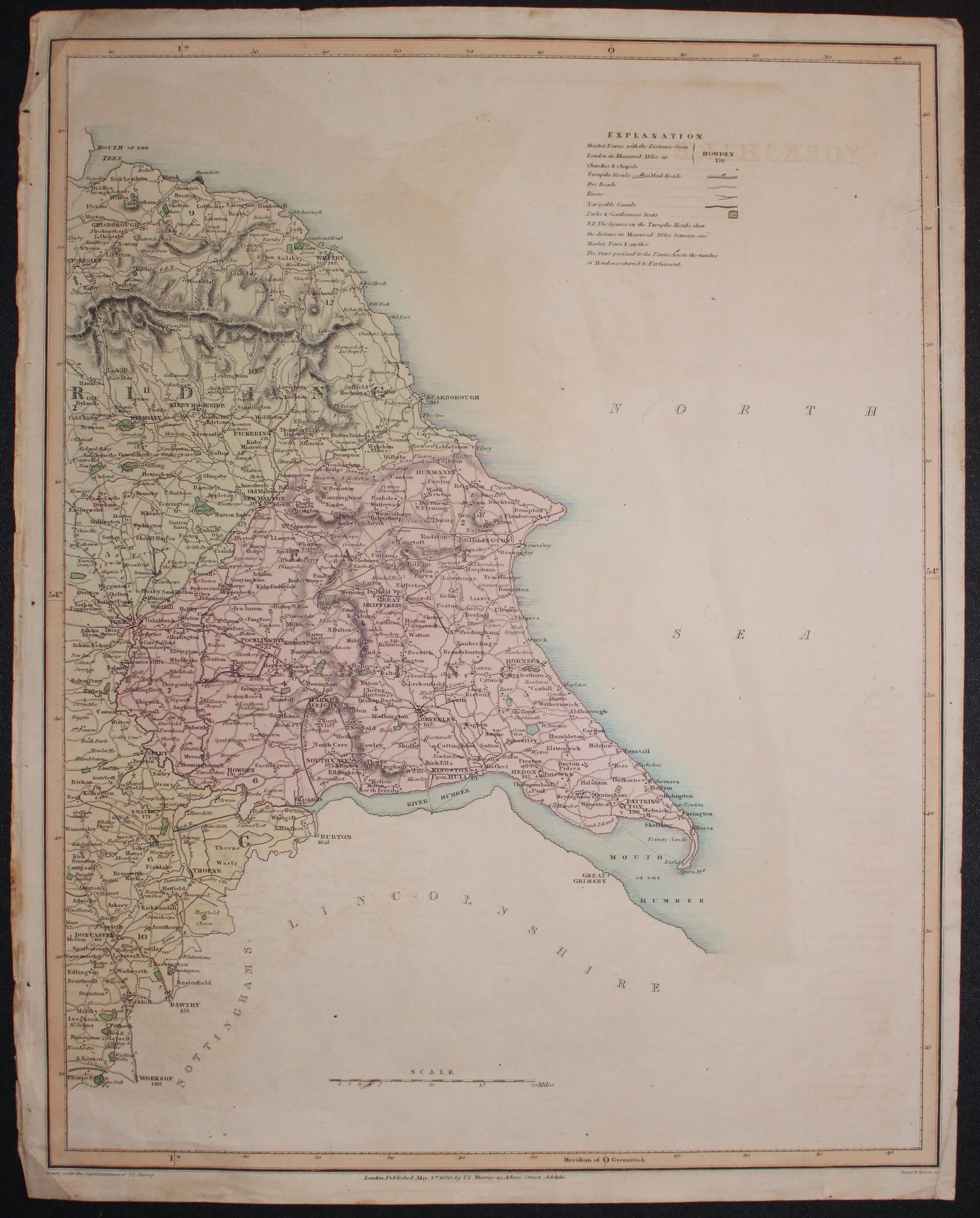
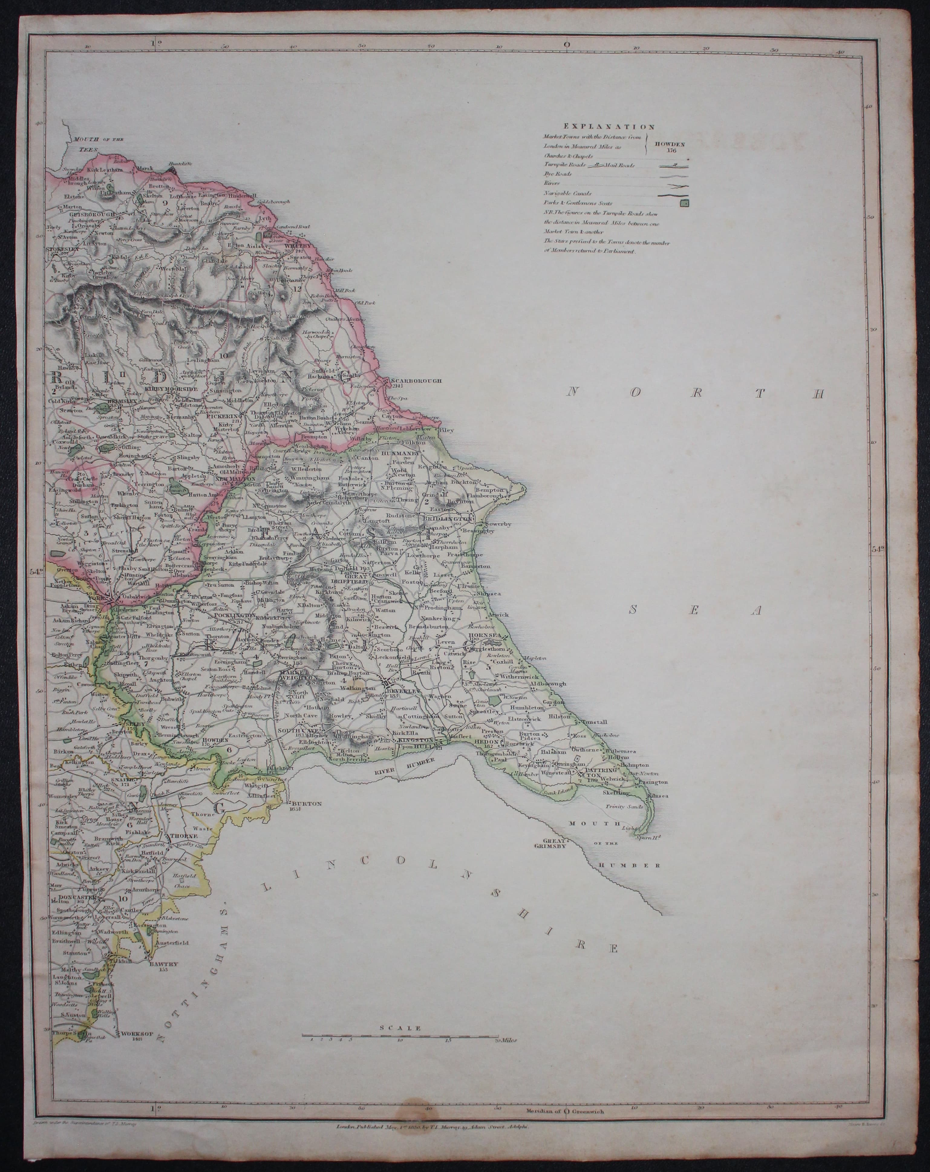
30636 Yorkshire, T. L. Murray, 1830. Price: 40.00
YORKSHIRE
An engraved map of the county on two sheets. Each measures 14 x 17 3/4 inches and has original wash hand colouring. Each bears the imprint of the publisher dated 1830. Left hand sheet has a single small tear just coming into a blank area of the map. Edges of two sides browned. Light crease across the bottom left corner. Right hand sheet again has a single tear on the edge just entering a blank area of the map. Little light browning in the sea area. With a little expertise in framing this pair could become a handsome map of the county.
From: Atlas of the English Counties.
19th Century - Folding Map
-

Sheffield and environs, Sheet 100 Ordnance Survey 1895
-
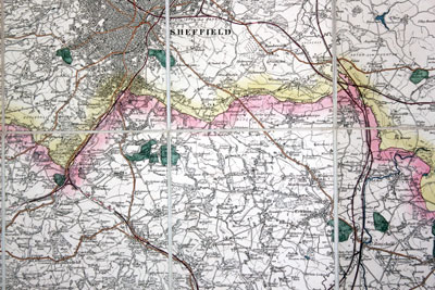
Sheffield and environs, detail, Sheet 100 Ordnance Survey 1895
-
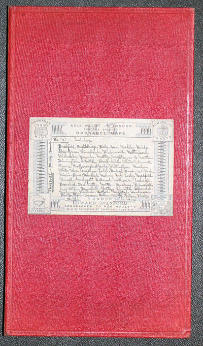
Sheffield and environs, cover, Sheet 100 Ordnance Survey 1895
-
Sheffield and environs, previous owner, Sheet 100 Ordnance Survey 1895

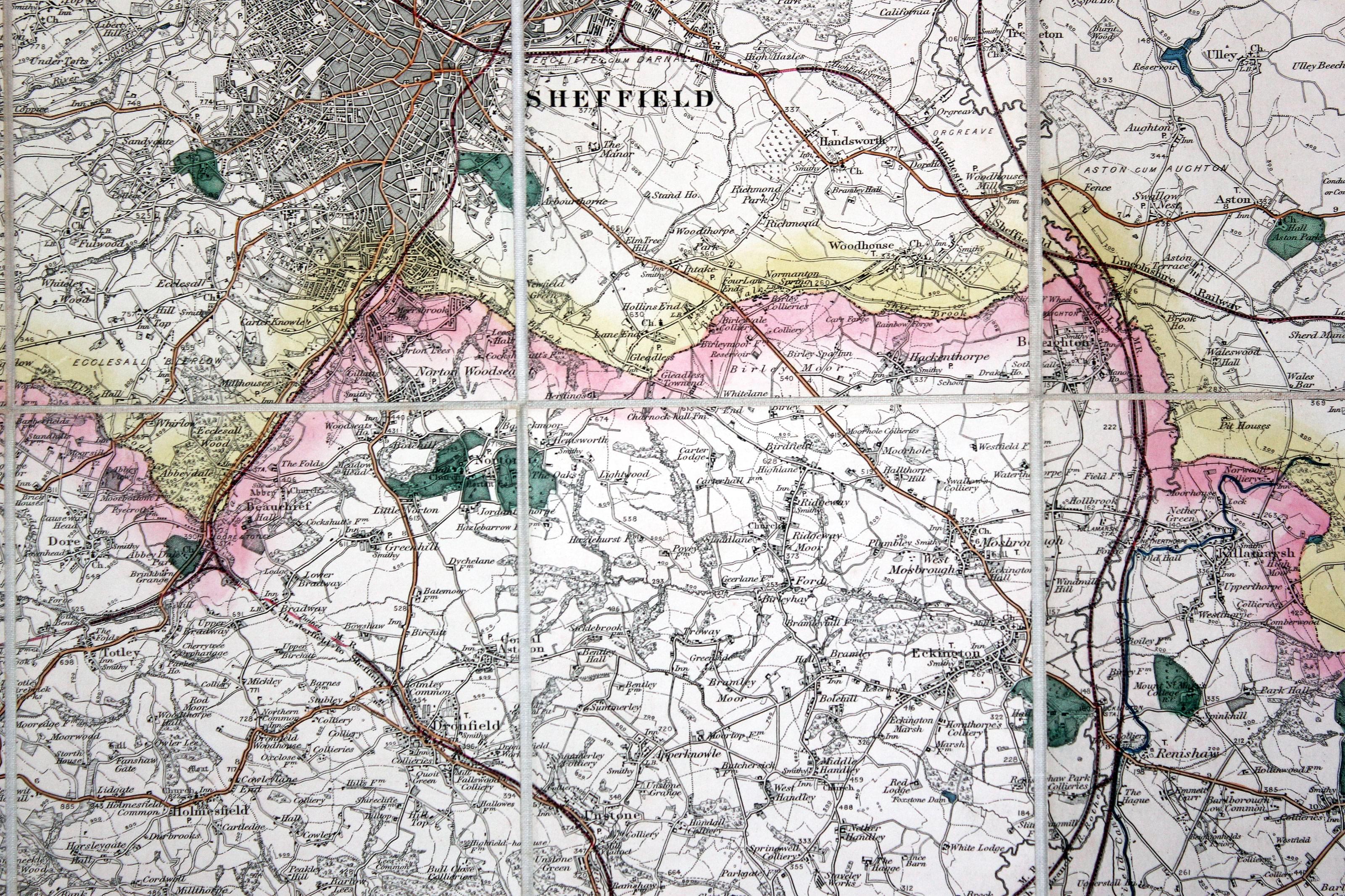
32365 Sheffield Area, Ordnance Survey, 1895. Price: 65.00
SHEFFIELD (BARNSLEY) 87. SHEET 100
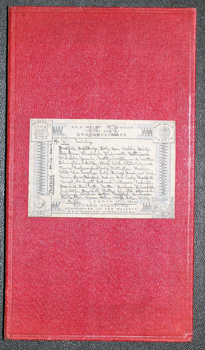
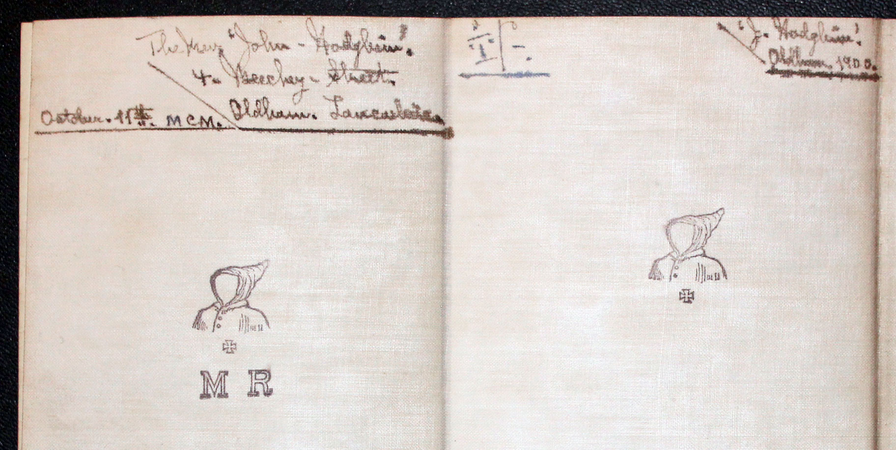
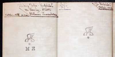
An interesting detailed folding map showing Sheffield and the surrounding area on a scale of 1 inch to the mile. The map includes Totley, Dronfield, Barlborough, Whitwell, Thorpe Salvin, Laughton en le Morthen and Rotherham. 19 3/4 x 13 1/4 inches. Original outline wash colouring. 10 sections mounted on heavy linen and folding in to a red cloth covered case with marbled paper interior. Original label on the cover on which has been written in a small neat hand a list of some of the places on the map. This is dated Oct. 11 1900. This can be linked a previous owner who has written his name and address on the verso of the map. The name appears to be The Rev. John Hodgkins, 4 Beechey Street, Oldham, Lancashire. There are also three impressions of a stamp of a faceless head and shoulders of a figure with a hood with a cross beneath. Beneath on are the letters M R. Fine clean condition. A very nice specimen.
19th Century - Early Hand Colouring
-
Map of Yorkshire on 2 sheets by T. L. Murray 1830
-
Map of Yorkshire on 2 sheets by T. L. Murray 1830

33044 Yorkshire, T. L. Murray, 1830. Price: 55.00
YORKSHIRE
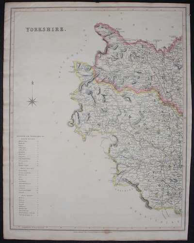
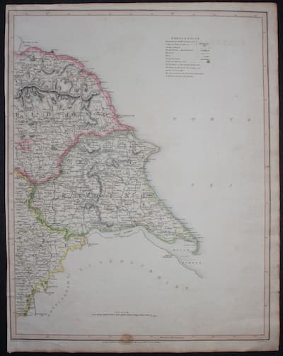
An engraved map of the county on two sheets. Each measures 14 x 17 3/4 inches and has original wash hand colouring. Each bears the imprint of the publisher dated 1830. Small brown stain in the bottom printed border of each map, otherwise good condition.
From: Atlas of the English Counties.
19th Century - Unusual
-
East Yorkshire by William Pinnock, c.1833

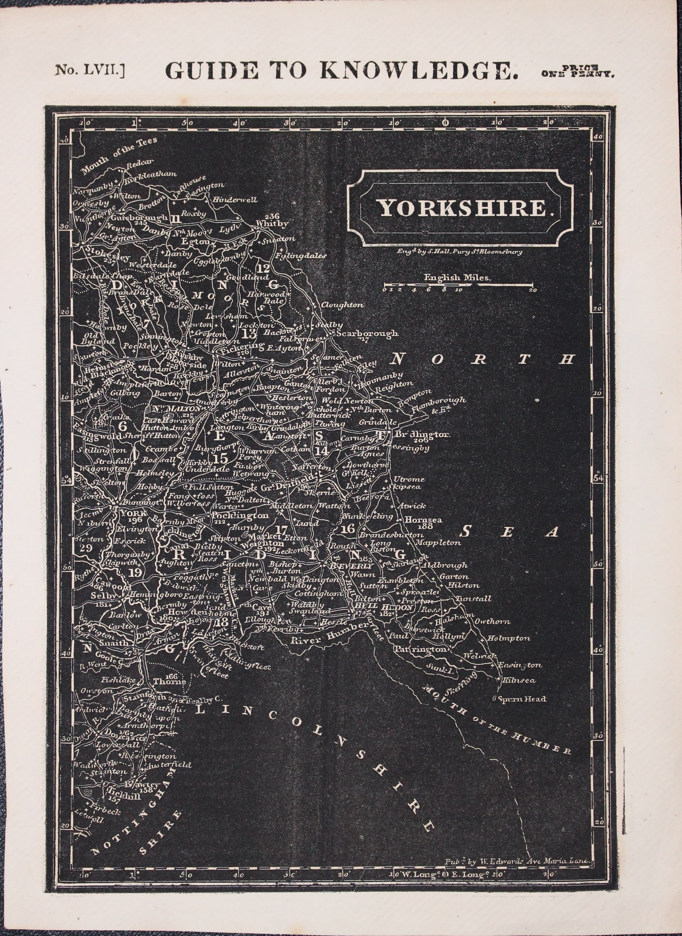
33140 East Yorkshire, William Pinnock, c.1833. Price: 34.00
YORKSHIRE
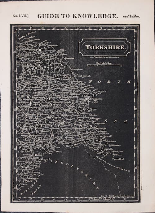
An unusual map of the eastern half of the county Engraved on wood by Sidney Hall the map has a negative appearance. Published by Joshua Archer. 6 1/4 x 8 3/4 inches. Above the map is printed No. LVII Guide to Knowledge Price One Penny. Good condition.
From: Pinnock’s The Guide to Knowledge
19th Century - Imperfect
-

East Yorkshire & West Riding Moule c.1850
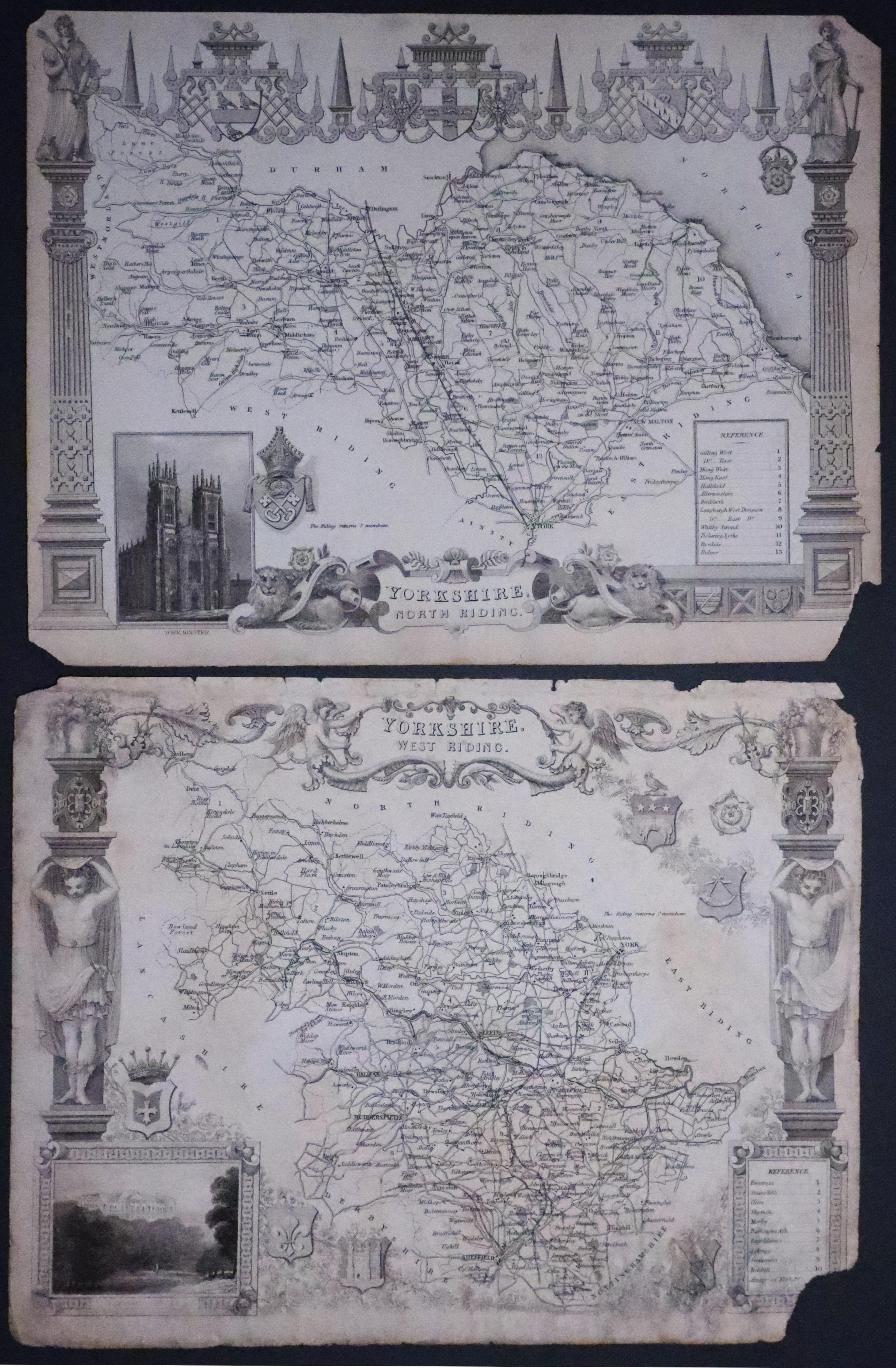
33258 North & West Ridings of Yorkshire, Thomas Moule c.1850. Price: 6.00
YORKSHIRE WEST RIDING and YORKSHIRE NORTH RIDING
Two imperfect specimens of Thomas’s Moule’s maps of the two Ridings. West Riding soiled and has missing corner. North Riding has missing corner and two short tears. Possible restoration jobs or just for reference. Special price due to condition.
From: Barclay’s Dictionary.
-

Moot Hall, Leeds
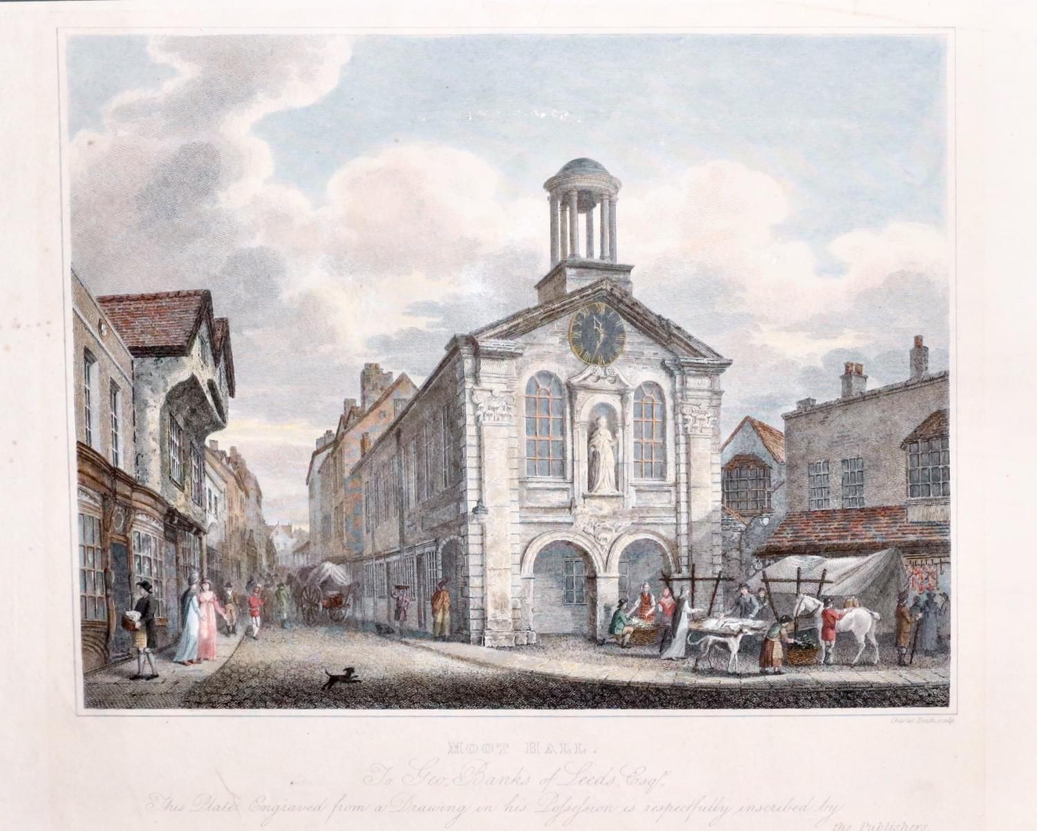
95732 Moot Hall, Leeds, C. Heath 1816. Price: 18.00
MOOT HALL
A steel engraved view inscribed by the publishers to George Banks of Leeds, Esquire. Engraved by Charles Heath and dated 1816 beneath with the publishers imprint. 10 1/2 x 8 1/4 inches. Attractive hand colouring. Traces of brown tape on the top on verso where the engraving has been in a mount. Light crease in the top blank margin. A few very small spots in the left hand blank margin.*

