Antique Maps of Radnorshire
Richard Nicholson of Chester
A World of Antique Maps and Prints
Established in 1961
All the Maps on this page are guaranteed to be genuine early specimens
published in or around the year stated
19th Century - Original Hand Colouring
-
Map of Cornwall by Thomas Letts 1884

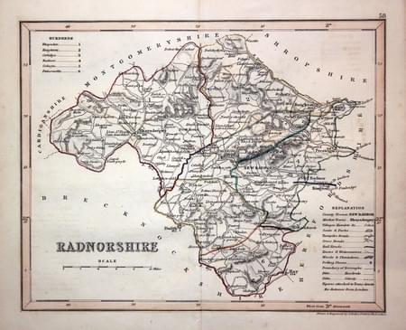
28396 Radnorshire, Joshua Archer, c.1845. Price: 14.00
RADNORSHIRE
A detailed engraved map of the county divided into hundreds. 9 x 7 inches. Original outline hand colouring. Good condition.
From: Dugdale’s England and Wales Delineated
Early 19th Century - Original Hand Colouring
-
Map of Cornwall by Thomas Letts 1884

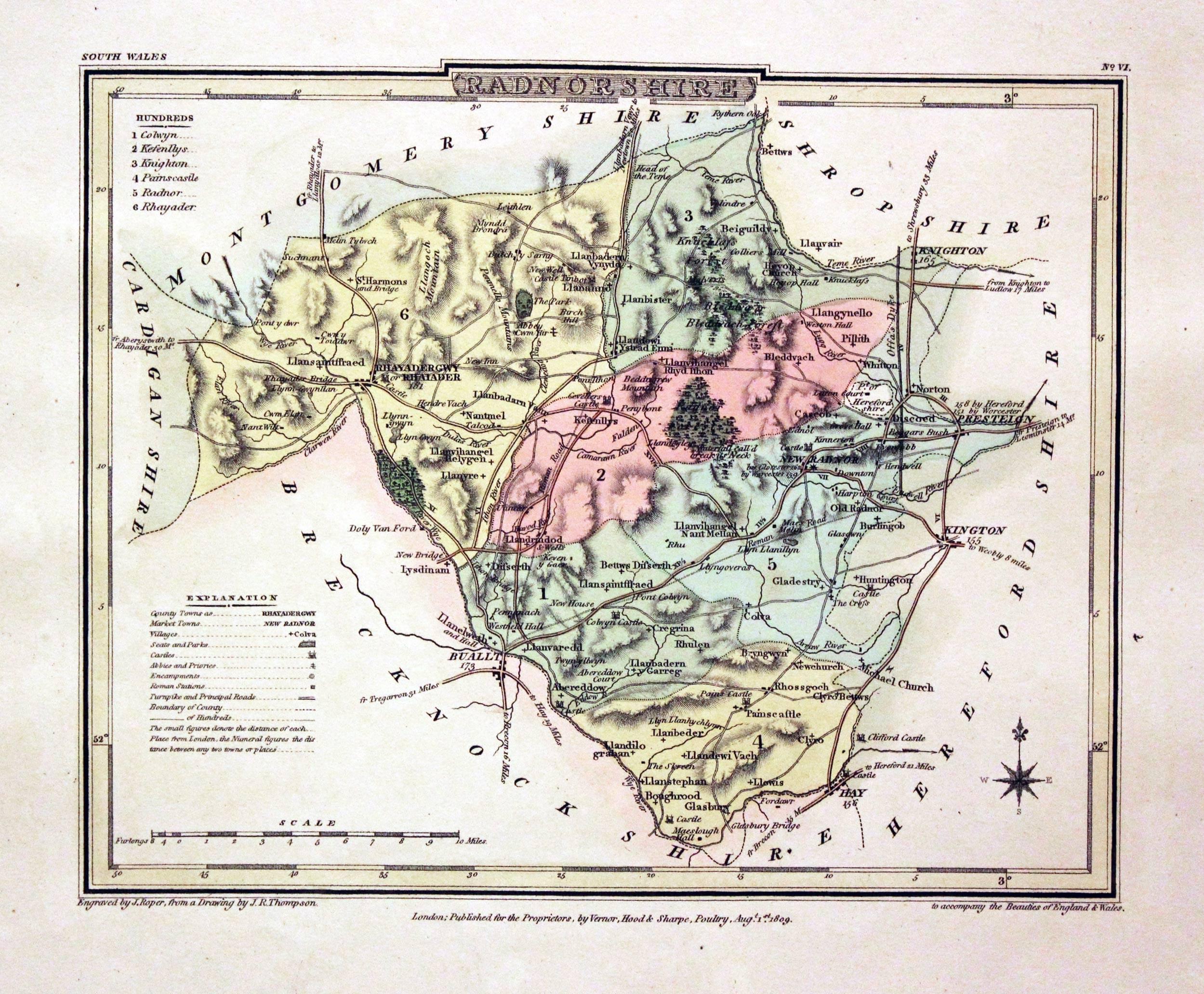
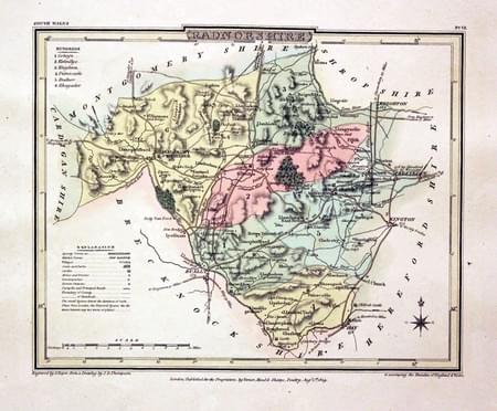
29916 Radnorshire, George Cole and John Roper, 1810. Price: 20.00
RADNORSHIRE
A detailed engraved map of the county with explanation and list of hundreds. Publisher's imprint dated 1809. 8 x 6 inches, 220 x 173 mm. Fine early wash hand colouring. Good stout paper with wide blank margins. Good clean condition.
From: The British Atlas
Early 19th Century - Original Hand Colouring
-
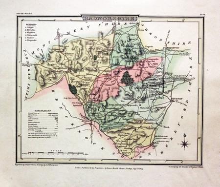
Radnorshire, George Cole and John Roper, 1810

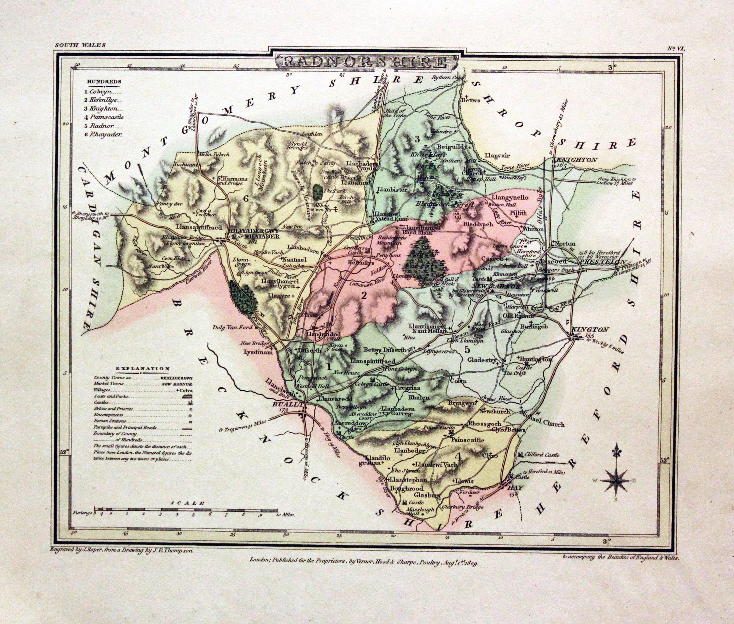
30335 Radnorshire, George Cole and John Roper, 1810. Price: 19.00
RADNORSHIRE
A detailed engraved map of the county with explanation and list of hundreds. Publisher's imprint dated 1809. 8 x 6 inches, 220 x 173 mm. Fine early wash hand colouring. Good stout paper with wide blank margins. Good clean condition.
From: The British Atlas
For the Collector
-
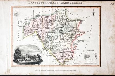
Radnorshire, Edward Langley and William Belch, 1820

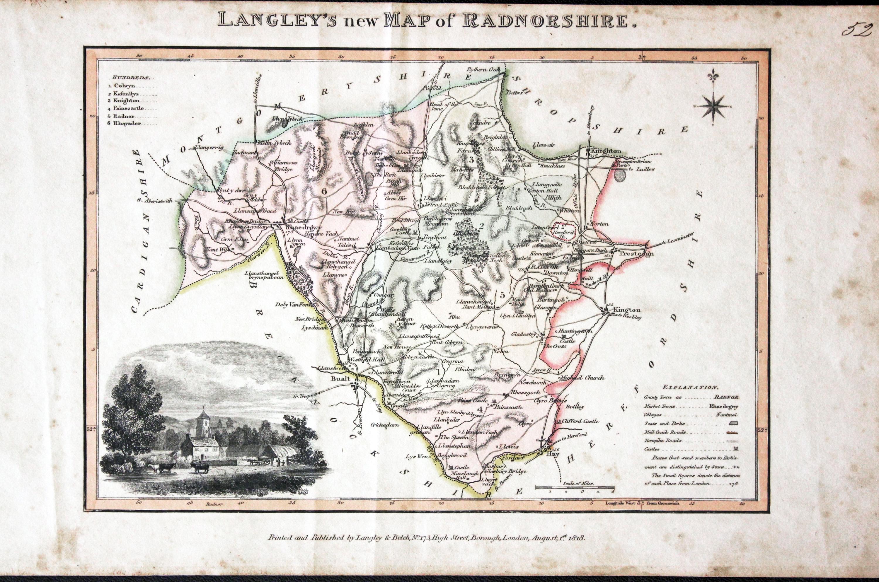
30957 Radnorshire, Edward Langley and William Belch, 1820. Price: 45.00
LANGLEY’S NEW MAP OF RADNORSHIRE
An engraved map of the county. In the bottom left hand corner is a vignette view of Radnor. The title appears above the map. Beneath the map is the publishers imprint Printed and Published by Langley & Belch, No. 173 High Street, Borough, London, August 1st, 1818. 10 x 6 3/4 inches. Manuscript number 52 in the top right hand corner. Original outline and wash hand colouring. Some toning and speckled foxing in the blank margins. No tears or repairs.
From: Langley’s New County Atlas of England and Wales
Early 19th Century - Original Hand Colouring
-
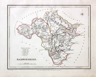
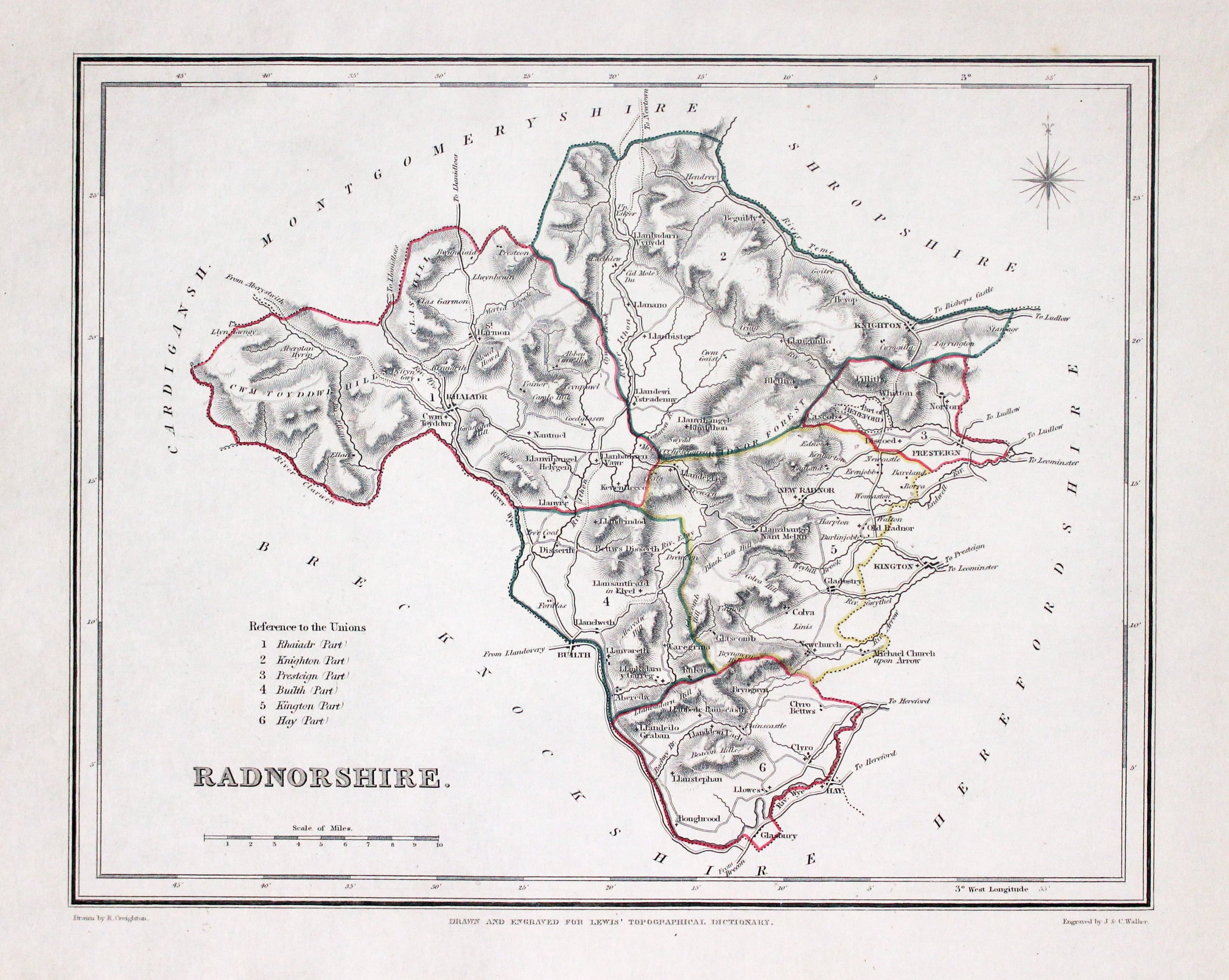
Radnorshire, Samuel Lewis 1845

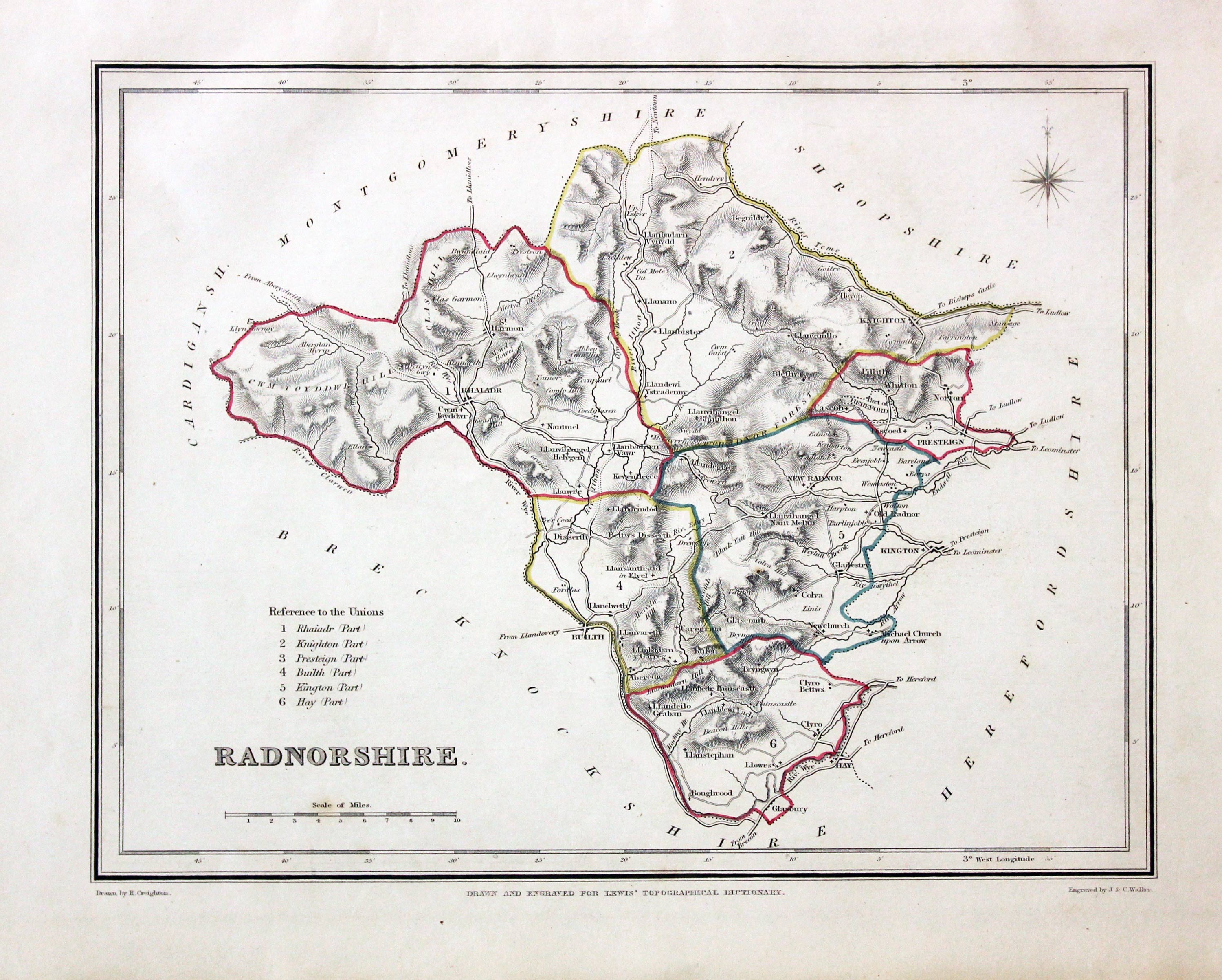
31612 Radnorshire, Samuel Lewis, 1845. Price: 13.00
RADNORSHIRE
A county map drawn by R. Creighton and engraved by J. & C. Walker. Reference to the Unions. Scale and compass rose. 8 3/4 x 6 3/4 inches. Original outline hand colouring. Good clean condition. Straight from the atlas and not sold as a single map before now.
From: Lewis' Atlas to the Topographical Dictionaries of England and Wales
Early 17th Century - Unusual
-
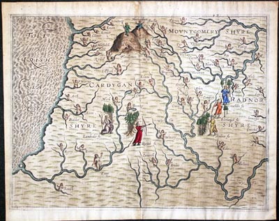
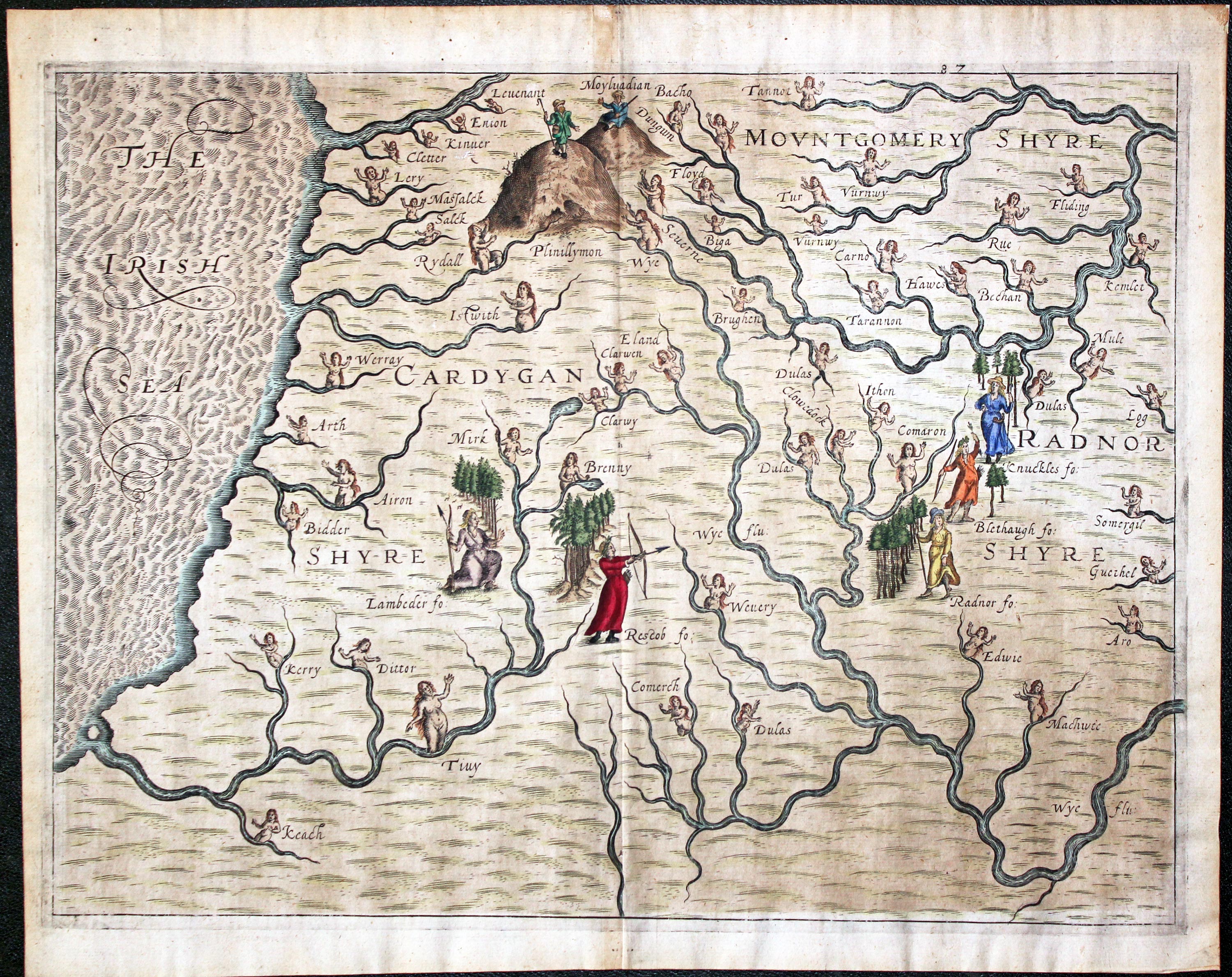
Montgomeryshire, Cardiganshire and Radnorshire Michael Drayton 1622

31985 Montgomeryshire, Cardiganshire and Radnorshire, Michael Drayton/William Hole, 1622. Price: 150.00
Montgomeryshire, Cardiganshire and Radnorshire
A most unusual early untitled engraved map showing part of the three counties to illustrate Michael Drayton's poems in the Poly-Olbion. The map shows no boundaries but is embellished with many small figures, tree and mountains in relief. Centre fold as published. 13 x 10 inches, 330 x 250 mm. Attractive hand colouring. Fine clean condition with good sized blank margins.
From: Poly-Olbion
18th Century - County and Road Map
-

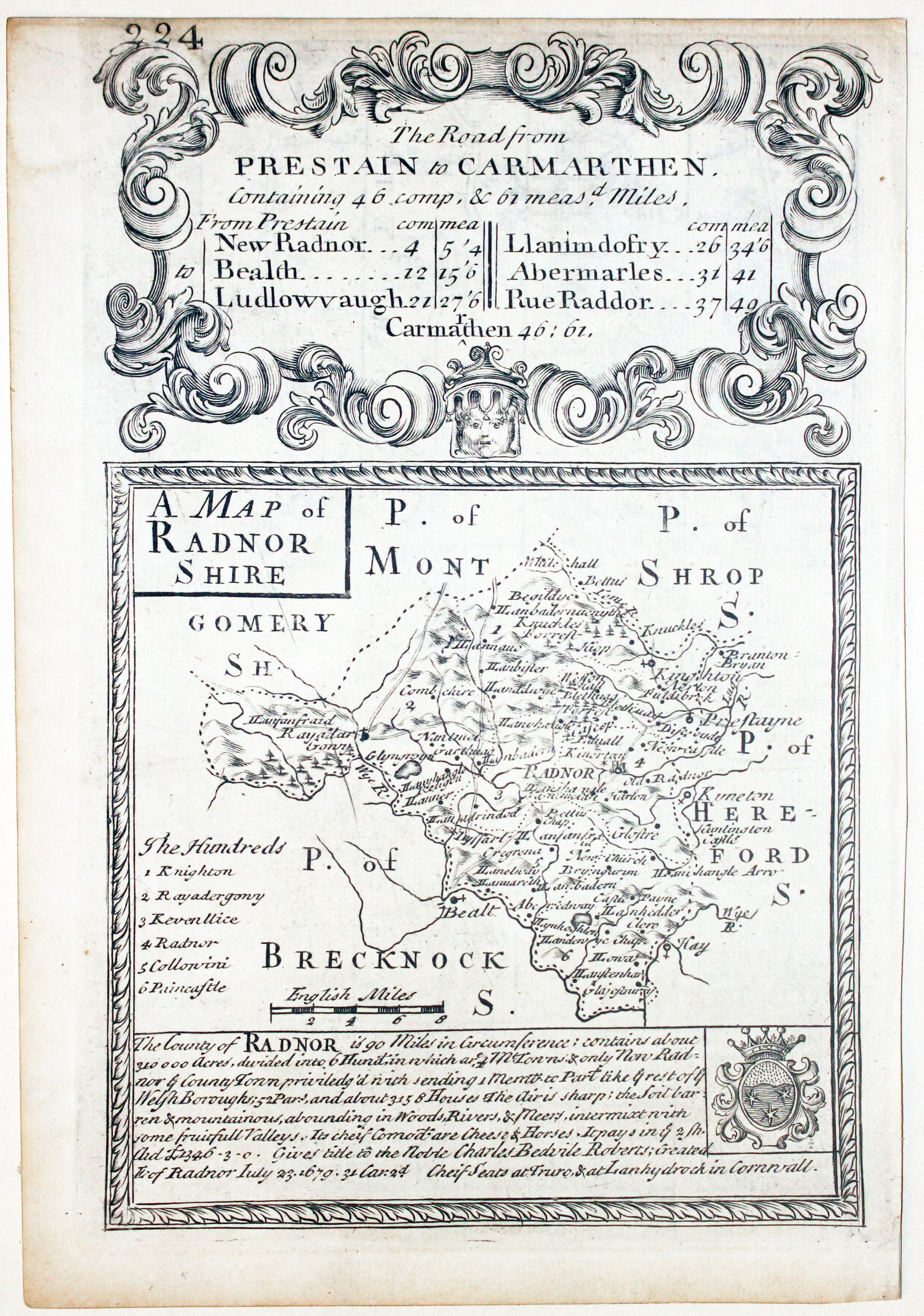
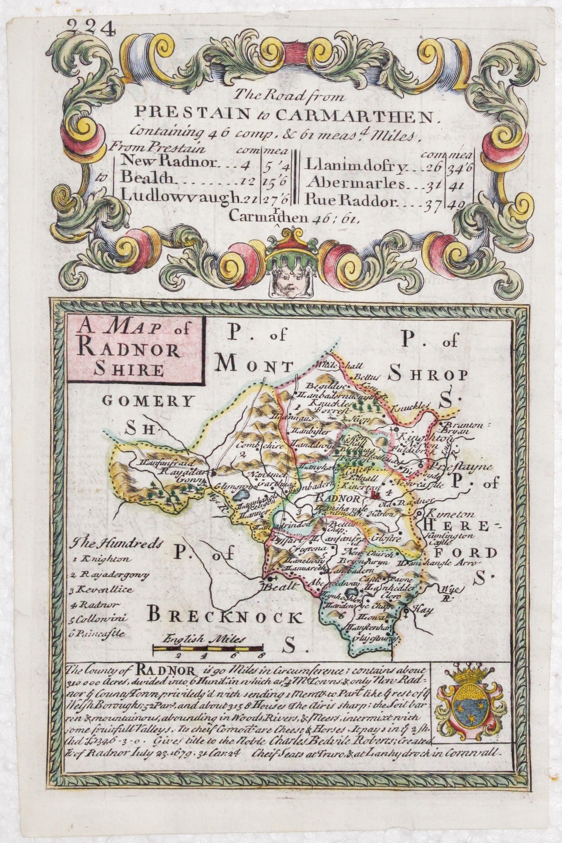
Map of Radnotshire by John Owen and Emanuel Bowen, c.1730

32679 Radnorshire, John Owen and Emanuel Bowen, c.1730. Price: 32.00
A MAP OF RADNORSHSHIRE
An engraved county map with description and coat of arms beneath. The map is surmounted by a baroque cartouche. On the verso is a strip road map from North Tudworth in Wiltshire to Poole in Dorset, embellished with engraved notes and two coats of arms. 4 1/2 x 7 inches. Uncoloured. Small top blank margin otherwise good condition good condition.
From: Britannia Depicta
19th Century - Early Hand Colouring
-
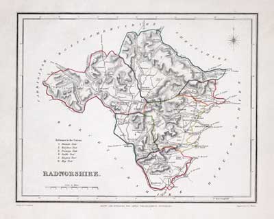
Map of Radnorshire, Samuel Lewis 1848

32931 Radnorshire, Samuel Lewis, 1848. Price: 19.00
RADNORSHIRE
A county map drawn by R. Creighton and engraved by J. & C. Walker. Reference to the Unions. Scale and compass rose. 8 3/4 x 6 3/4 inches. Original outline hand colouring. Good clean condition. Straight from the atlas and not sold as a single map before now.
From Lewis' Atlas to the Topographical Dictionaries of England and Wales
18th Century
-

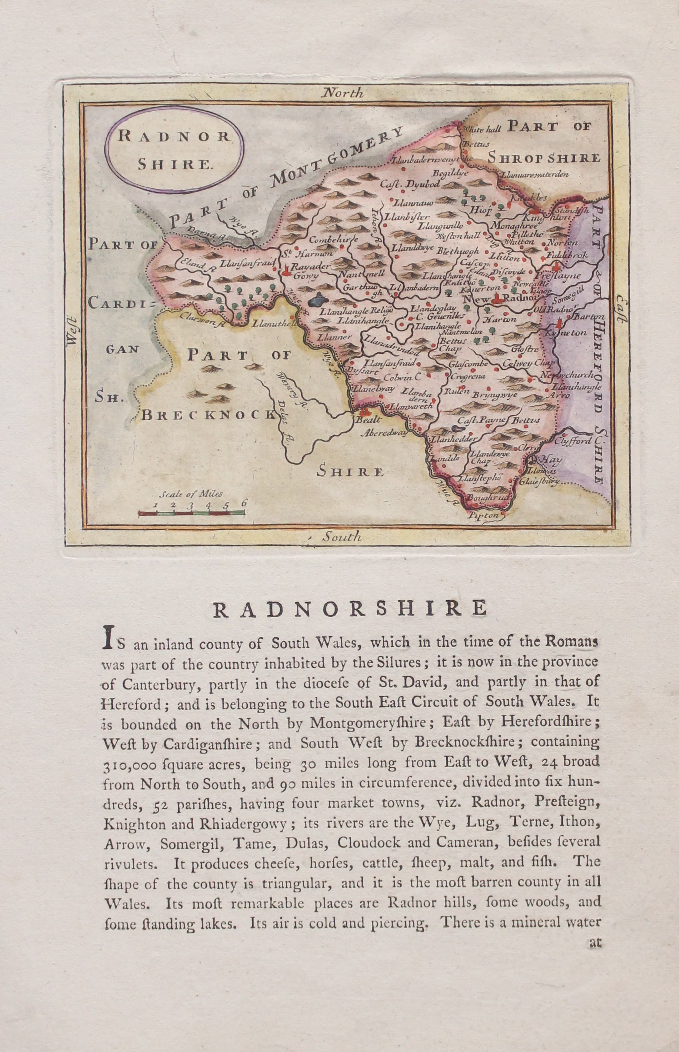
Map of Radnorshire by John Seller & Francis Grose 1787

33171 Radnorshire, John Seller c.1787. Price: 20.00
RADNOR SHIRE
A small engraved map of the county embellished with an oval title panel. 5 3/4 x 4 3/4 inches. Beneath the map and on verso is a description of the county in English. Later wash hand colouring. Single tear repaired in the top blank margin otherwise good condition.
From: Grose’s Antiquities
Early 17th Century
-
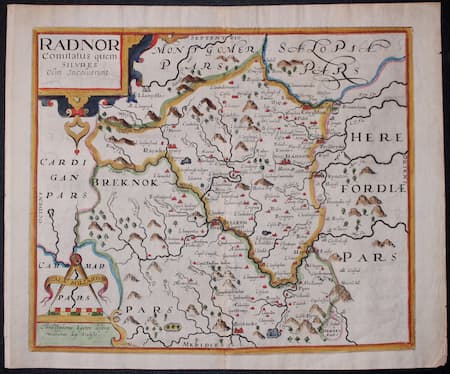
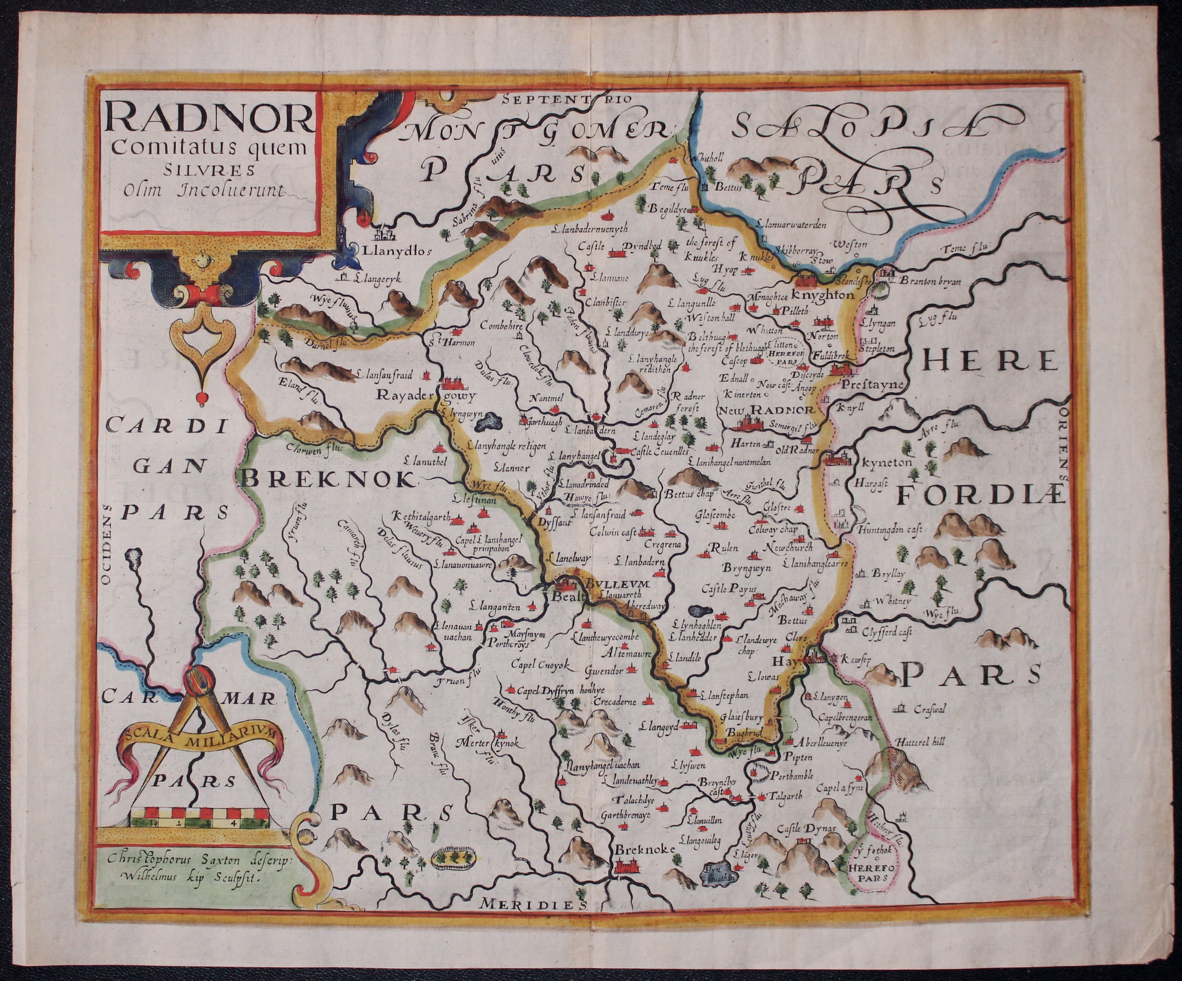
Map of Radnorshire by Saxon / William Kip c.1610

33184 Radnorshire, William Kip, c.1610. Price: 82.00
RADNOR COMITATUS....
An early map of the county engraved by William Kip after the survey by Christopher Saxton embellished with decorative title and scale cartouches. 12 1/2 x 10 1/2 inches. Later hand colouring. Original centre fold. Bunch of grapes watermark Good clean condition.
From Camden's Britannia.
This is the first engraved map of the Radnorshie on its own
18th Century - County and Road Map
-
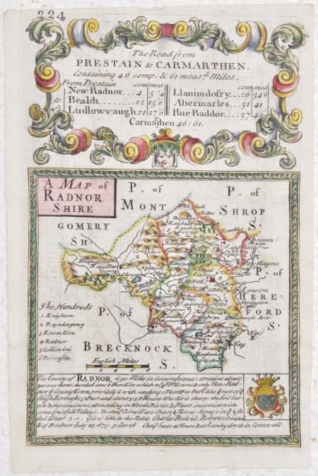
Map of Radnotshire by John Owen and Emanuel Bowen, c.1730
-
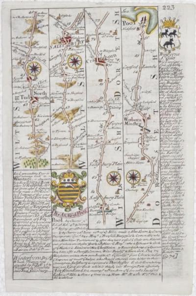
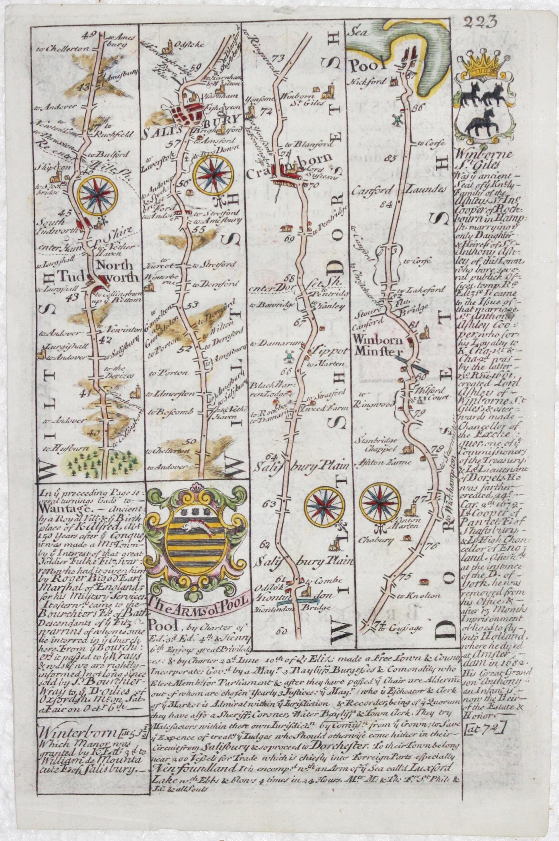
Road map from North Tudworth to Poole by John Owen and Emanuel Bowen, c.1730

32679 Radnorshire, John Owen and Emanuel Bowen, c.1730. Price: 35.00
A MAP OF RADNORSHSHIRE
An engraved county map with description and coat of arms beneath. The map is surmounted by a baroque cartouche. On the verso is a strip road map from North Tudworth in Wiltshire to Poole in Dorset, embellished with engraved notes and two coats of arms. 4 1/2 x 7 inches. Nicely hand coloured on both sides. Small top blank margin otherwise good condition good condition.
From Britannia Depicta
18th Century - County and Road Map
-
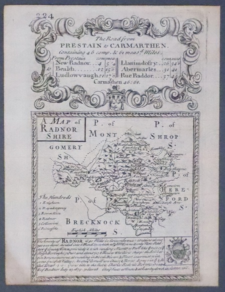
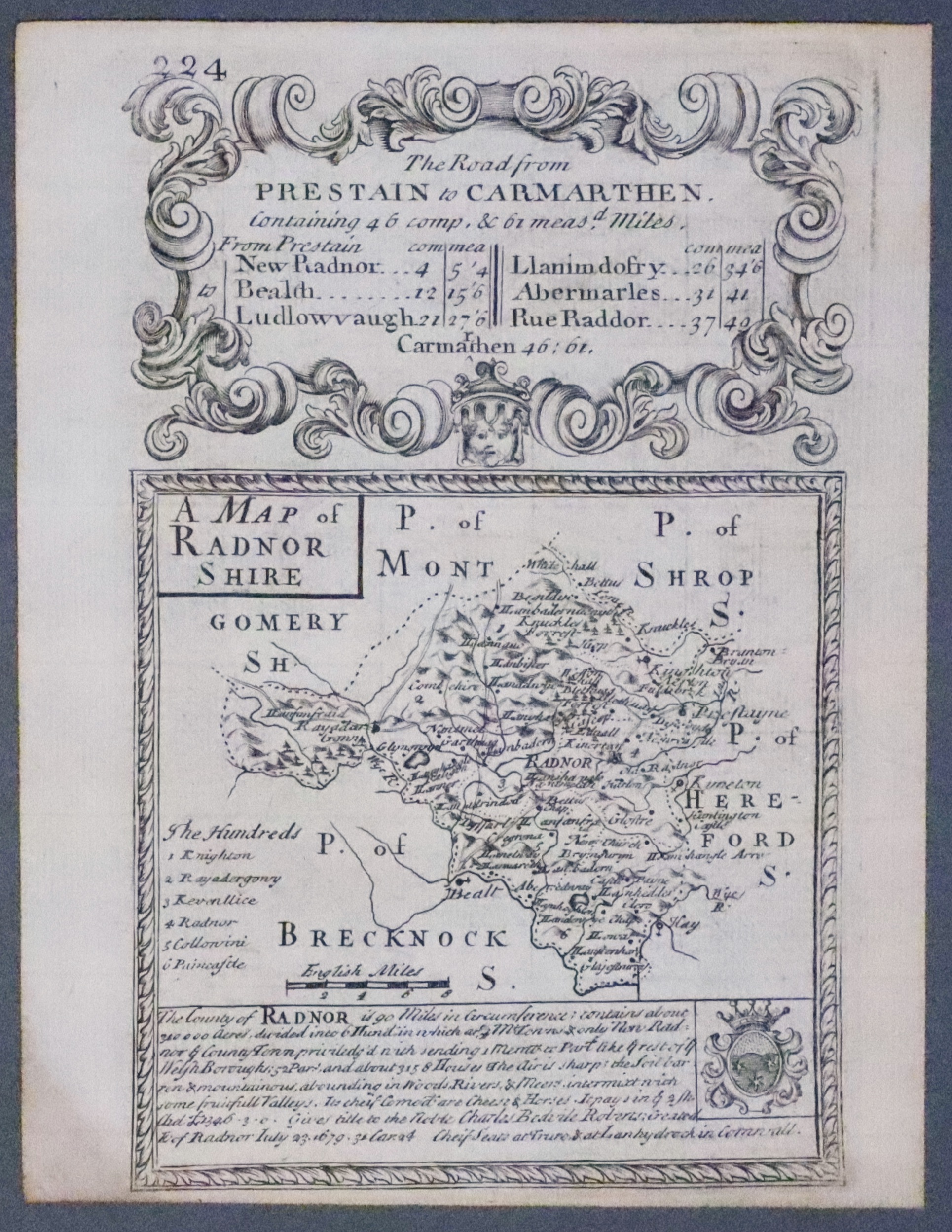
Radnorshire, John Owen & Emanuel Bowen c.1730

33309 Radnorshire, John Owen and Emanuel Bowen, c.1730. Price: 24.00
A MAP OF RADNORSHSHIRE
An engraved county map with description and coat of arms beneath. The map is surmounted by a baroque cartouche. On the verso is a strip road map from North Tudworth in Wiltshire to Poole in Dorset, embellished with engraved notes and two coats of arms. 4 1/2 x 7 inches. Uncoloured. Small bottom blank margin otherwise good condition.
From: Britannia Depicta
Early 17th Century - Unusual
-

Montgomeryshire, Cardiganshire and Radnorshire Michael Drayton 1622

31985 Montgomeryshire, Cardiganshire and Radnorshire, Michael Drayton/William Hole, 1622. Price: 135.00
Montgomeryshire, Cardiganshire and Radnorshire
A most unusual early untitled engraved map showing part of the three counties to illustrate Michael Drayton's poems in the Poly-Olbion. The map shows no boundaries but is embellished with many small figures, tree and mountains in relief. Centre fold as published. 13 x 10 inches, 330 x 250 mm. Attractive hand colouring. Fine clean condition with good sized blank margins.
From: Poly-Olbion
Famous Mapmaker - 17th Century
-
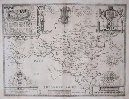
Radnorshire by John Speed 1646
-
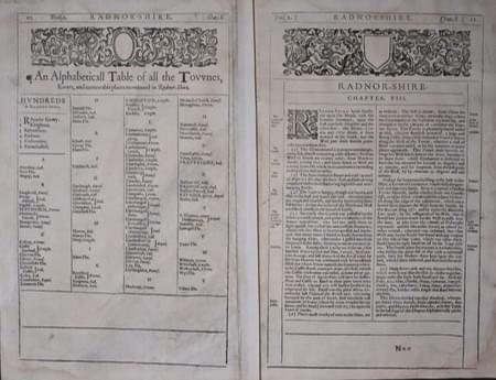
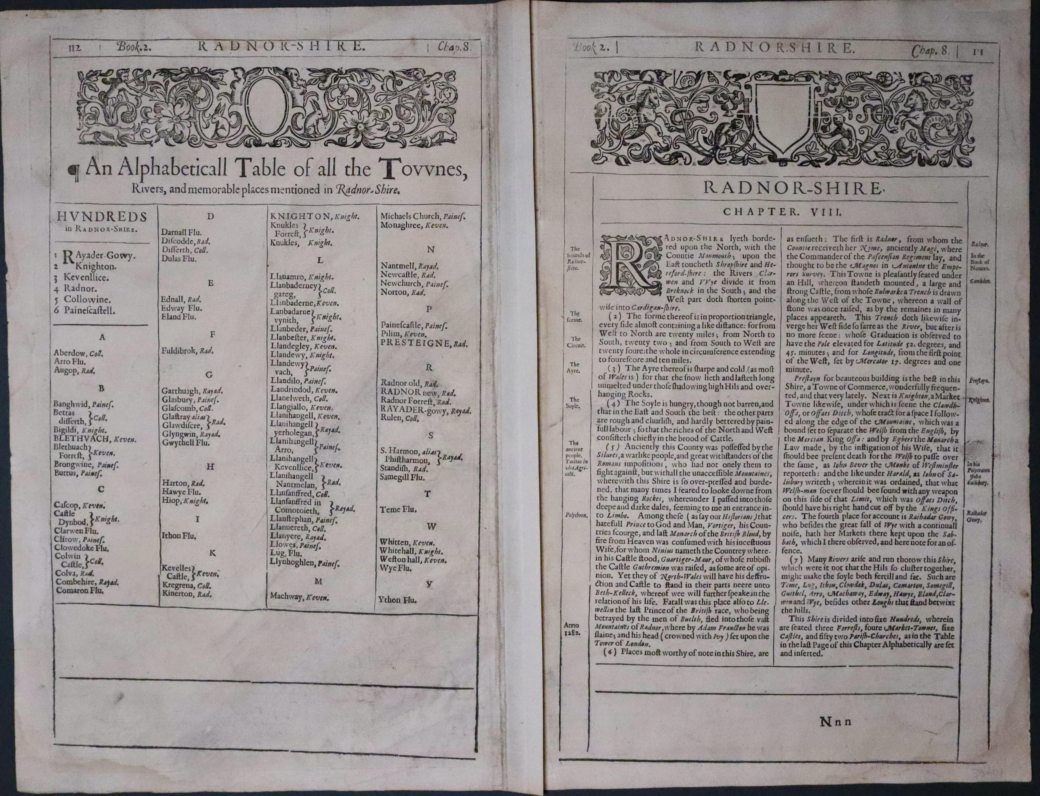
Text on verso of Radnorshire by John Speed 1646
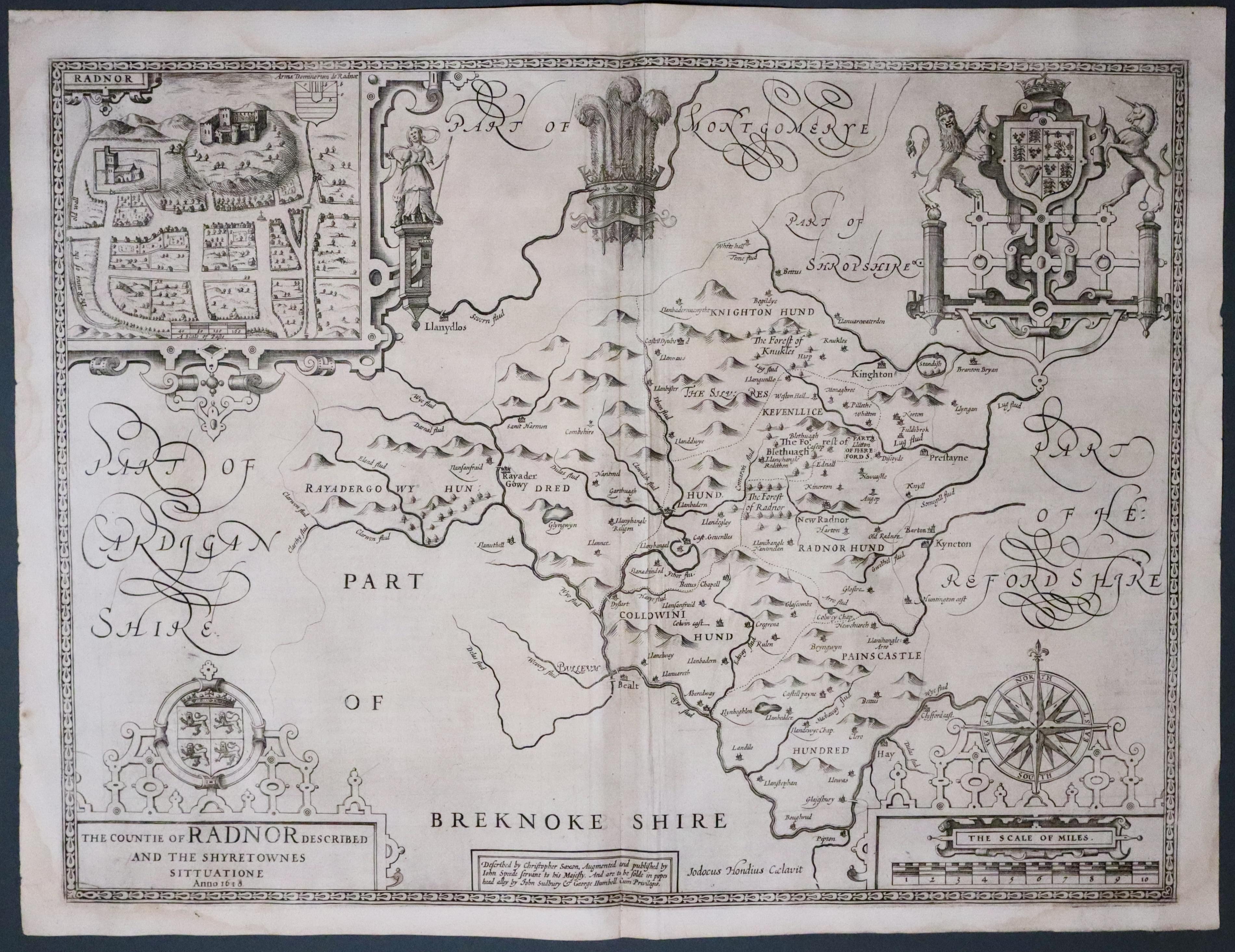
33601 Radnorshire, John Speed ,1650. Price: 150.00
THE COUNTIE OF RADNOR DESCRIBED AND THE SHYRETOWNES SITTUATIONE Anno 1610
An early map of the county engraved by Jodocus Hondius and published by John Sudbury and George Humble. Three strapwork cartouches display the title, scale, compass rose, Arms of Wales and the Royal Arms. Prince of Wales Feathers. 20 x 15 inches, 510 x 385 mm. Description of the county in English on verso with a list of towns and villages Uncoloured. Original centre fold. Some very light water staining in the top blank margin. Small area of the right hand printed and blank margin expertly repaired. Otherwise nice condition. This map has been taken from the atlas by me and therefore not offered for sale as a single map before.
From: The Theatre of the Empire of Great Britaine dated 1650. Skelton 57 cites the Gardiner copy only, not in Chubb or Wing


