Antique Maps of Breconshire
Richard Nicholson of Chester
A World of Antique Maps and Prints
Established in 1961
All the Maps on this page are guaranteed to be genuine early specimens
published in or around the year stated
19th Century - Miniature
-

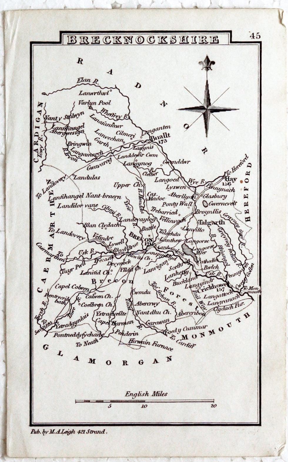
Breconshire, Samuel Leigh, c.1833
28113 Breconshire, Samuel Leigh, c.1833. Price: 9.50
BRECKNOCKSHIRE
A miniature engraved map of the county with scale and compass rose. Bears the imprint of the publisher M. A. Leigh. 4 x 2 inches. Uncoloured. Good condition.
From: Leigh's New Atlas

19th Century - Original Hand Colouring
-
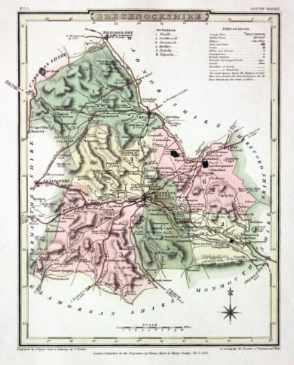
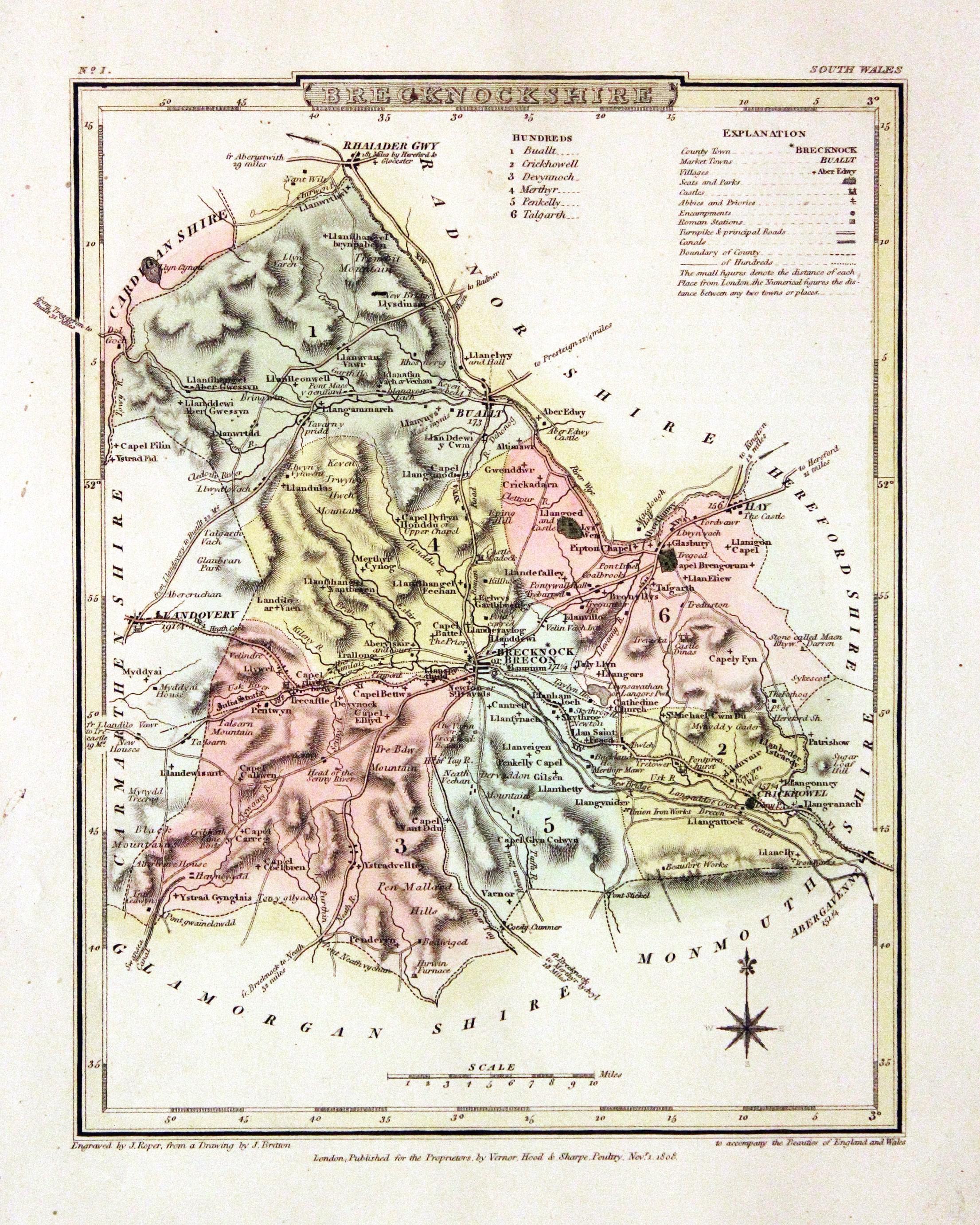
Breconshire, George Cole and John Roper, 1810

30547 Breconshire, George Cole and John Roper, 1810. Price: 24.00
BRECKNOCKSHIRE
A detailed engraved map of the county with explanation and list of hundreds. Publisher's imprint dated 1809. 6 3/4 x 8 3/4 inches. Fine early wash hand colouring. Wide blank margins Good clean condition.
From: The British Atlas
19th Century - Original Hand Colouring
-
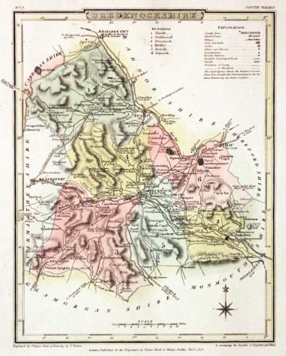
Breconshire, George Cole and John Roper, 1810

30550 Breconshire, George Cole and John Roper, 1810. Price: 24.00
BRECKNOCKSHIRE
A detailed engraved map of the county with explanation and list of hundreds. Publisher's imprint dated 1809. 6 3/4 x 8 3/4 inches. Fine early wash hand colouring. A few small paint splatters in the right hand blank margin otherwise good clean condition. With this map is the original page of descriptive text.
From: The British Atlas
19th Century
-

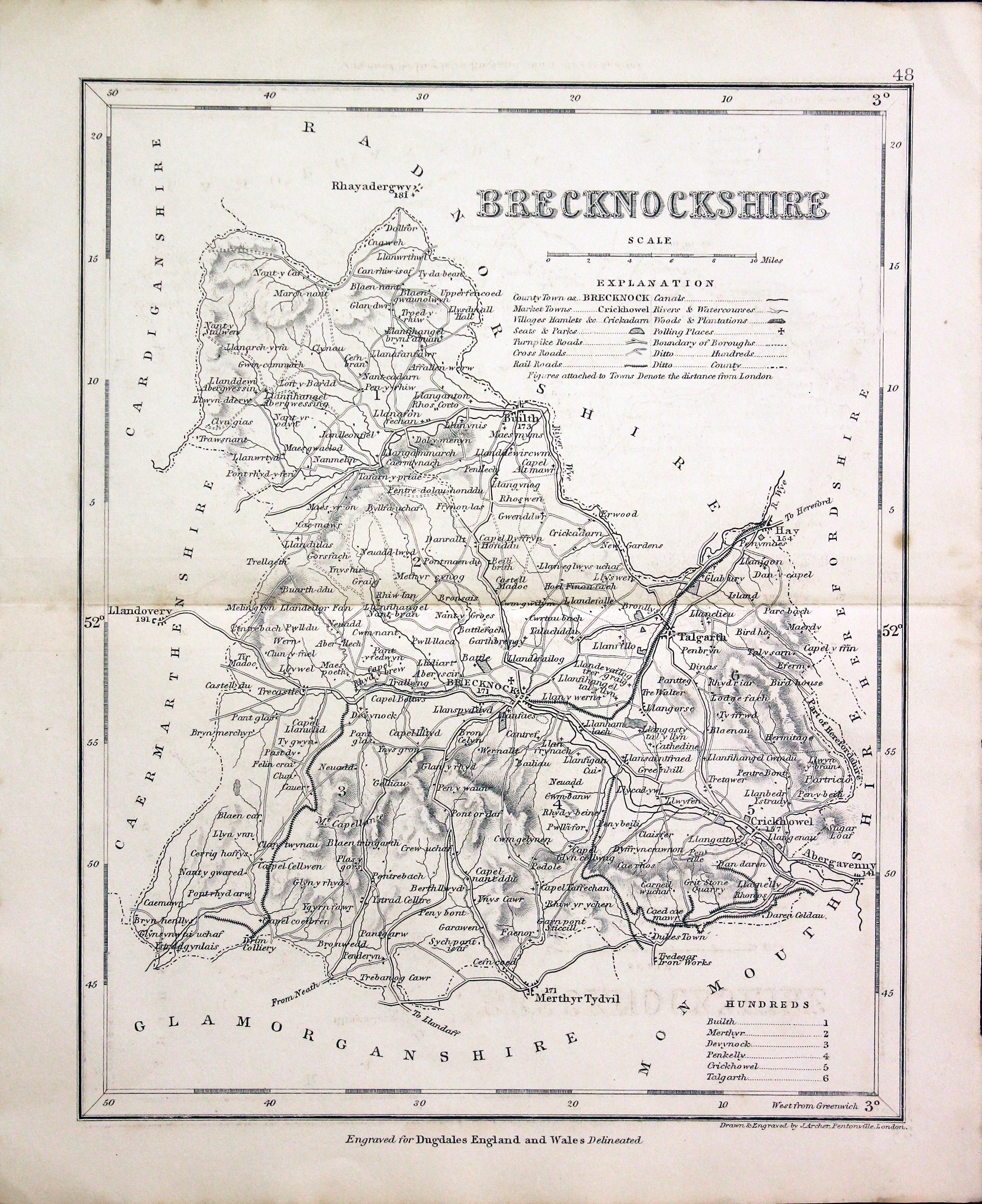
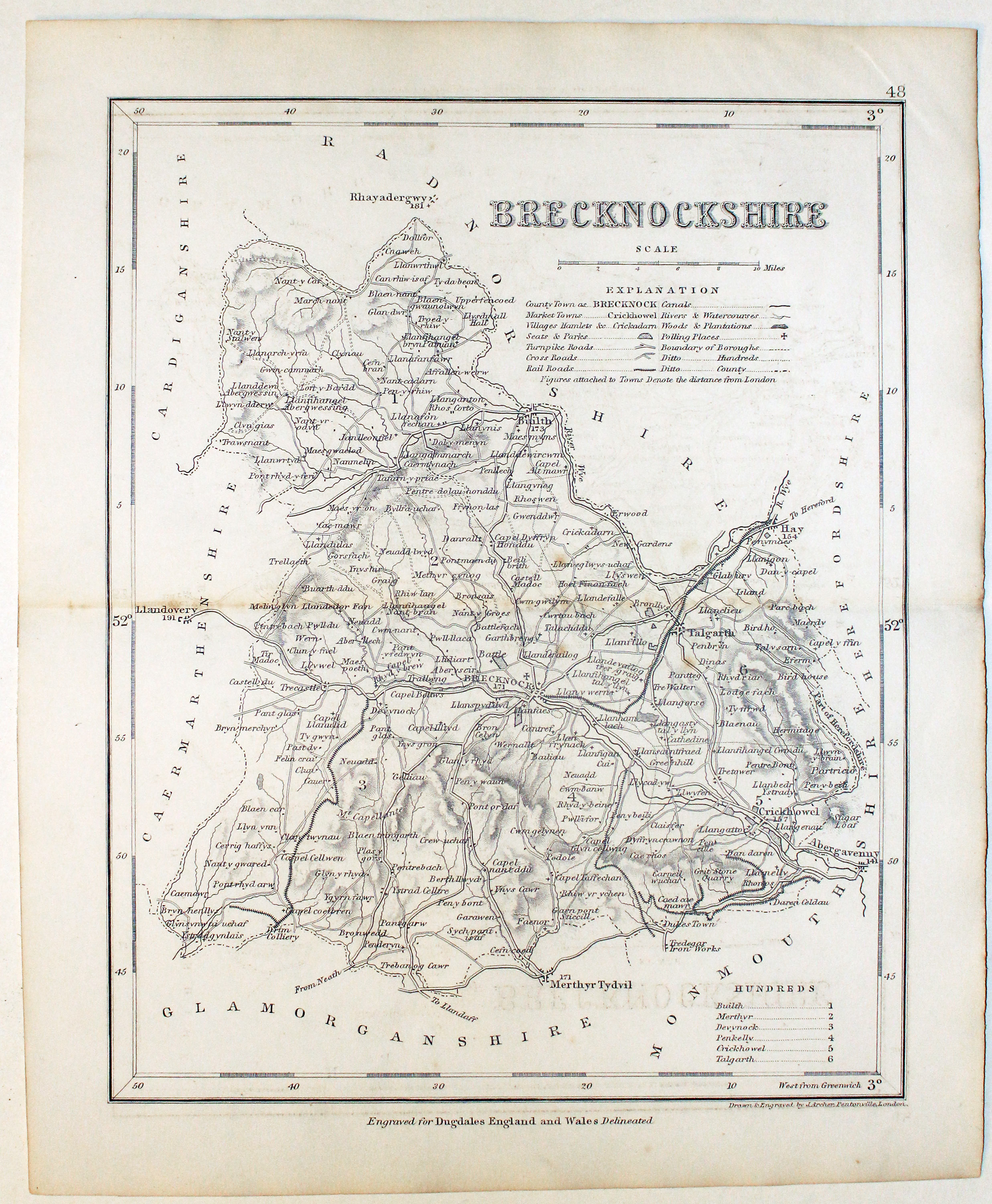
Breconshire, Joshua Archer, c.1845

31348 Breconshire, Joshua Archer, c.1845. Price: 14.00
BRECKNOCKSHIRE
An engraved map of the county with scale, list of hundreds and explanation. 7 x 9 1/4 inches. Uncoloured. Very lightly toned. Good condition.
Engraved for Dugdales England and Wales Delineate
19th Century - In need of repair
-
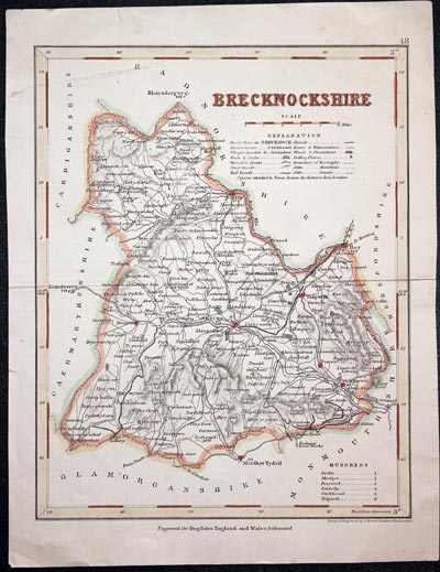
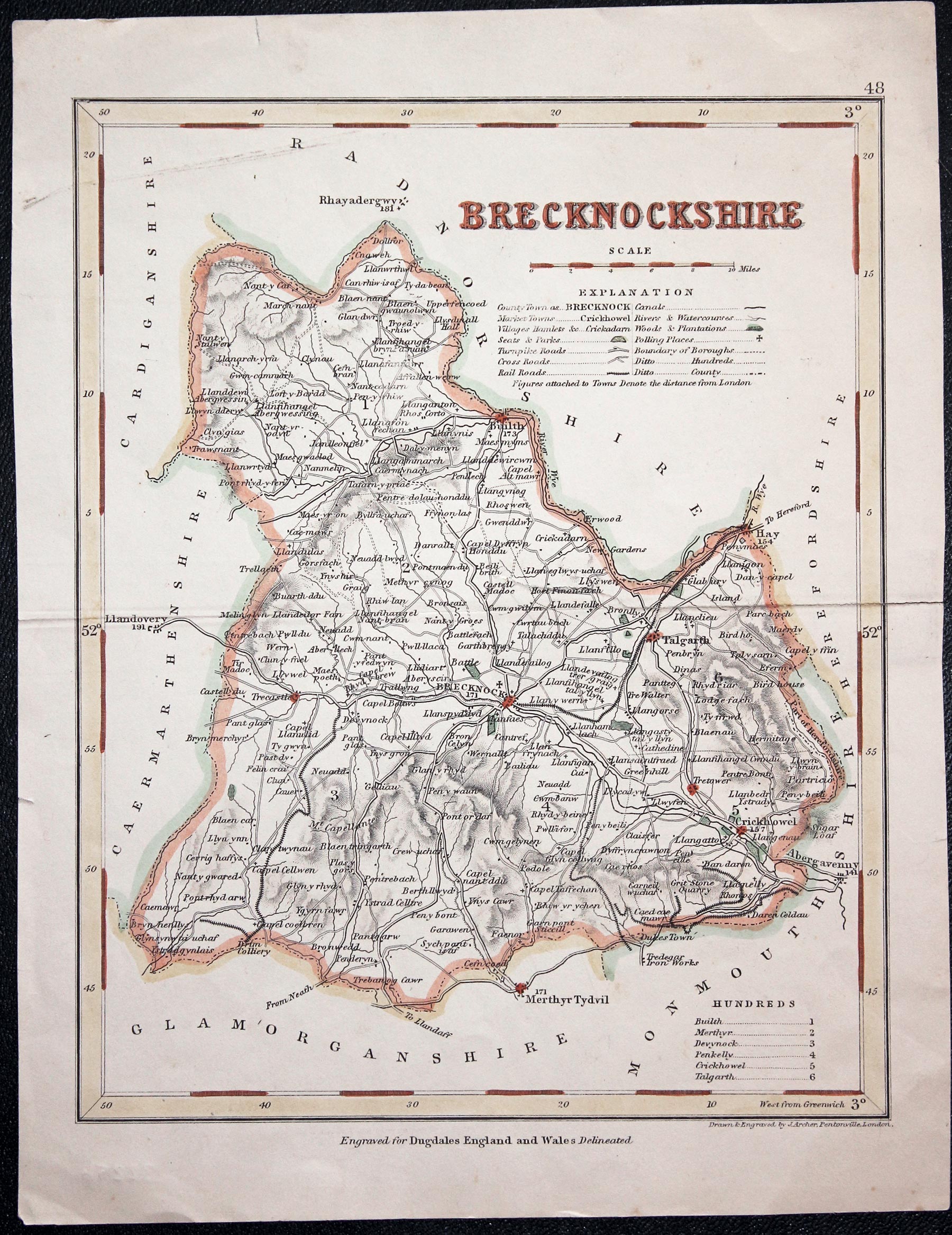
Breconshire Joshua Archer c.1845

32256 Breconshire Joshua Archer, c.1845. Price: 7.00
BRECKNOCKSHIRE
An engraved map of the county with scale, list of hundreds and explanation. 7 x 9 1/4 inches. Uncoloured. 9 1/4 x 7 inches. Hand coloured. Light soiling in top left hand corner. Split at one end of the original centre fold repaired.
Engraved for Dugdale's England and Wales Delineated
19th Century - County and Road Map
-
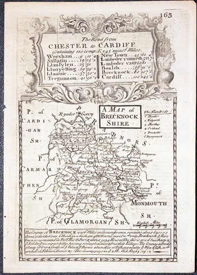
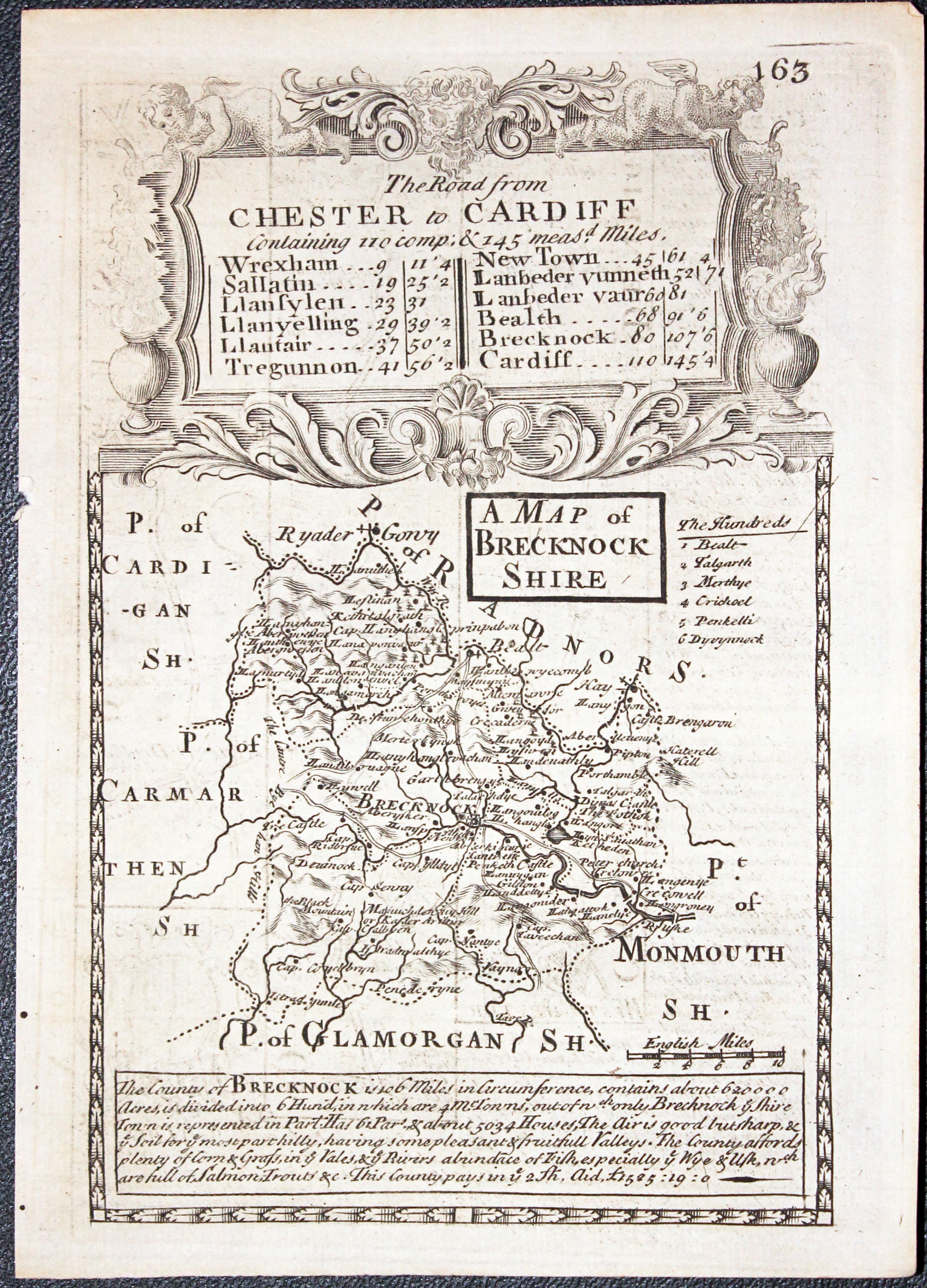
Map of Breconshire by John Owen and Emanuel Bowen published in 1753
-
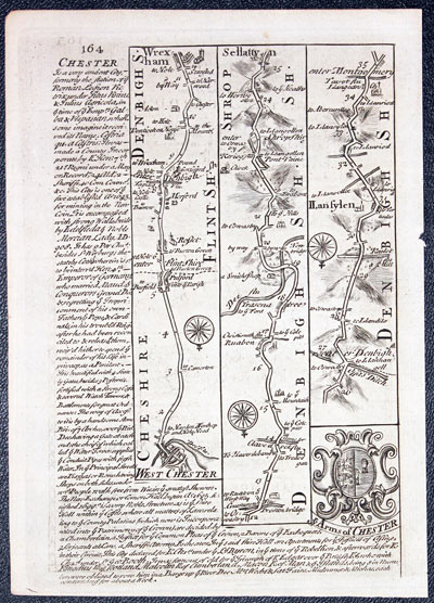
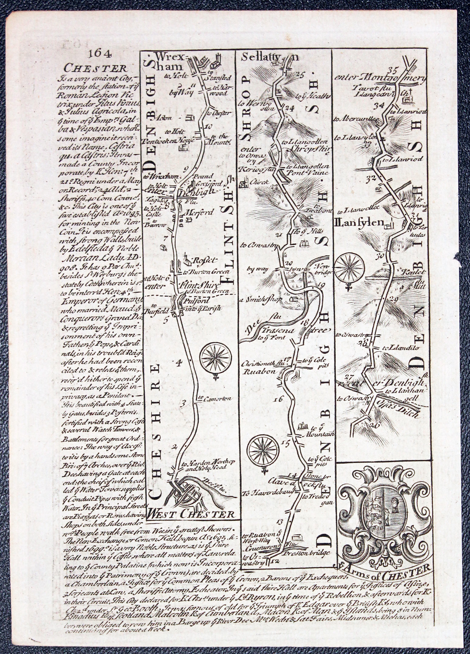
Road map from Whitchurch to Llanfyllin by John Owen and Emanuel Bowen published in 1753
32449 Breconshire, John Owen and Emanuel Bowen, 1753. Price: 30.00
A MAP OF BRECKNOCK SHIRE
An engraved county map with description below and surmounted by a decorative baroque cartouche titled The Road from Chester to Cardiff. Road map on verso showing the route from Chester to Llanfylen. with coat of arms and engraved notes. 4 x 7 1/4 inches. Hand coloured on both sides. Good condition.
From: Britannia Depicta


PROVENANCE
At some time part of the Townsend Family library
19th Century
-
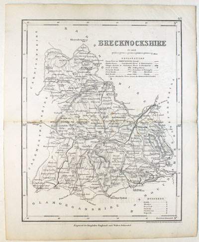
Breconshire, Joshua Archer, c.1845

32784 Breconshire, Joshua Archer, c.1845. Price: 14.00
BRECKNOCKSHIRE An engraved map of the county with scale, list of hundreds and explanation. 7 x 9 1/4 inches. Uncoloured. Good condition.
Engraved for Dugdale's England and Wales Delineated
19th Century - Early Hand Colouring
-
Map of Cornwall by Thomas Letts 1884

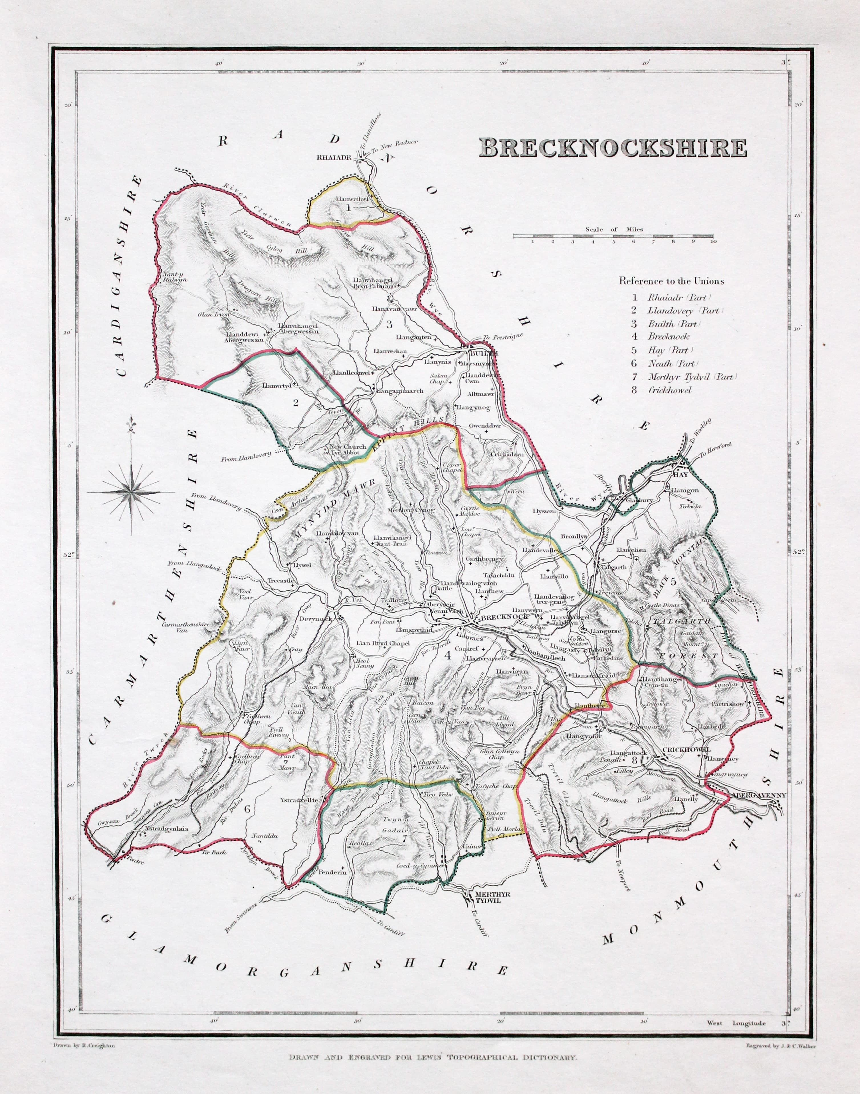
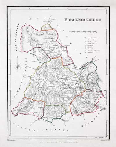
32893 Breconshire, Samuel Lewis, 1848. Price: 18.00
BRECKNOCKSHIRE
A county map drawn by R. Creighton and engraved by J. & C. Walker. 6 3/4 x 9 inches. Original outline hand colouring. Good clean condition. Straight from the atlas and not sold as a single map before now. From Lewis' Atlas to the Topographical Dictionaries of England and Wales
Late 19th Century
-

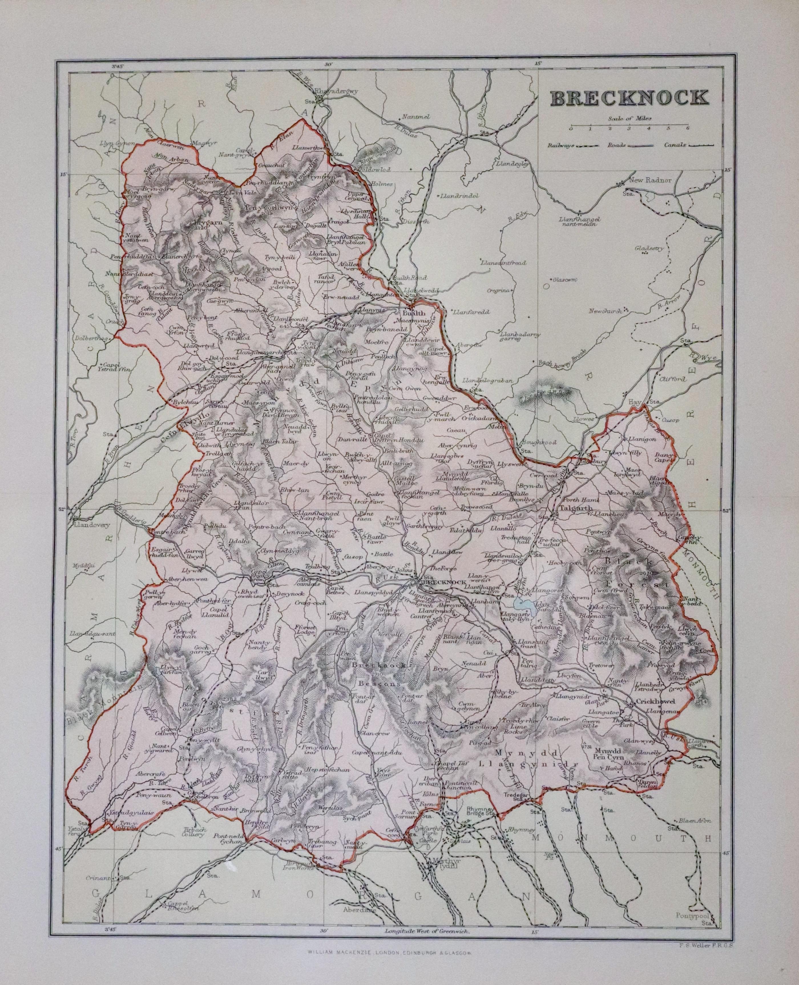
Breconshire, Francis Sydney Weller c.1898
33550 Breconshire, Francis Sydney Weller, c.1898. Price: 9.00
BRECKNOCK
A colour print lithograph county map. Includes the railways at that time. Original centre fold. 8 1/2 x 11 inches. Published by William Makenzie. Good condition.
From: The Comprehensive Gazetteer of England Wales


