Antique Maps of Lancashire
Richard Nicholson of Chester
A World of Antique Maps and Prints
Established in 1961
All the Maps on this page are guaranteed to be genuine early specimens
published in or around the year stated
19th Century Town Plan - With Text
-

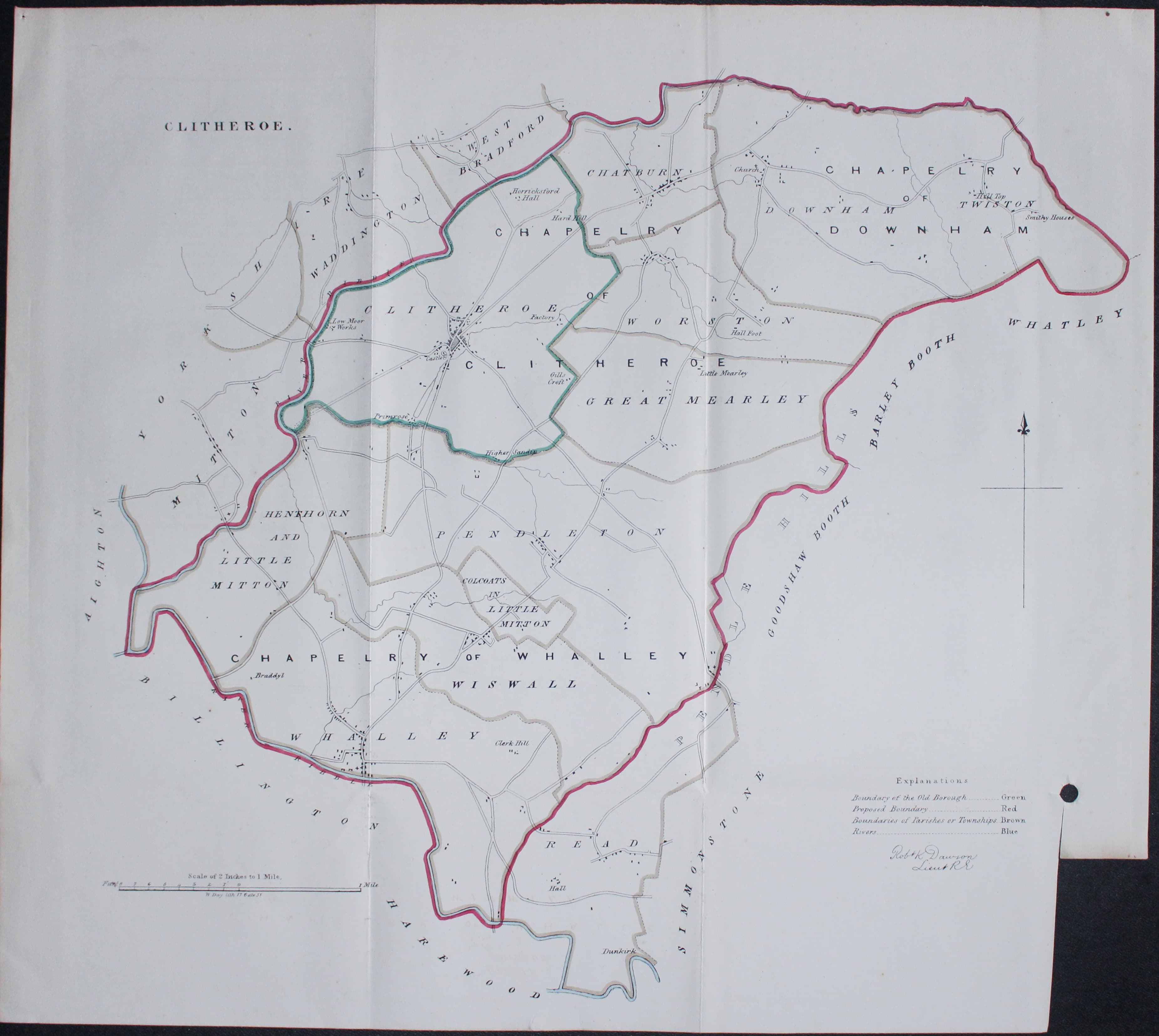
Plan of Clitheroe Lancashire by Lt. R. K. Dawson
14908 Clitheroe, Lt. Robert K. Dawson, 1832. Price: 26.00
CLITHEROE
An interesting engraved map of the area around Clitheroe on a scale of 2 inches to the mile. Extends to include Whalley and Read. About 16 x 15 inches. Owing to the way the map was bound there is a small blank section in the bottom right hand corner missing. Single punch hole. Some folding lines. Original outline hand colouring. With the plan is the original descriptive text on three sides of paper.

Early 19th Century
-

Map of Lancashire Soils and Canals c.1800
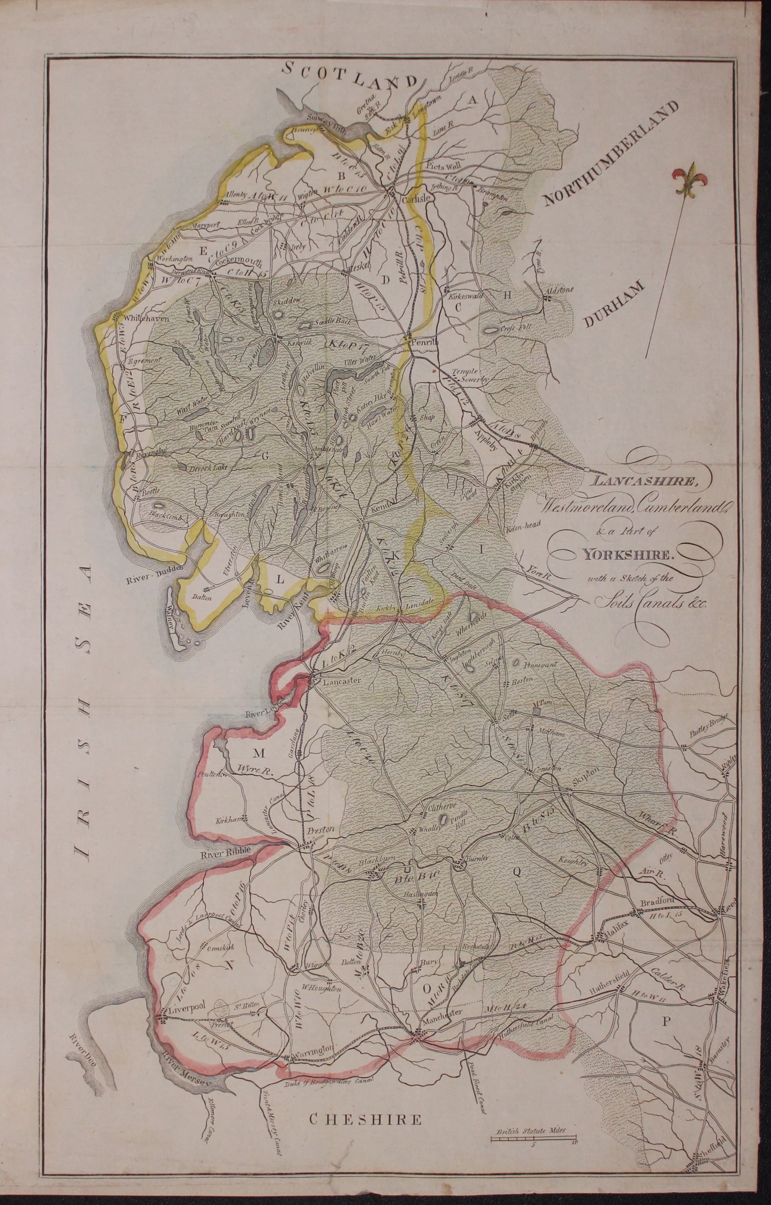
18079 Lancashire - Shows Canals, Unknown. c.1800. Price: 40.00
LANCASHIRE, WESTMORELAND, CUMBERLAND & A PART OF YORKSHIRE WITH A SKETCH OF THE SOILS CANALS &c.
An engraved map of the regoin listed in the title. Shows roads but not a lot of place names. Regret I have not been able to put a name to the cartographer. The map was perhaps in a guide book at some some as there is evidence of fod creases which have now been flattened. 9 3/4 x 15 3/4 inches. Hand coloured. Small single tear repaired that extends half inch into a blank area at the bott of the map. Otherwise good clean condition.

18th Century - County and Road Map
-

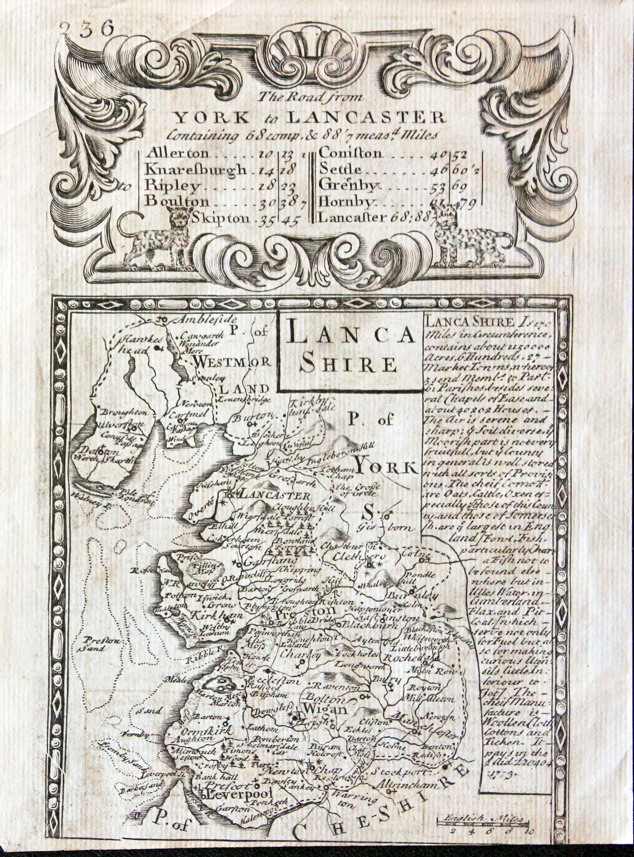
Lancashire Owen and Bowen 1730
-
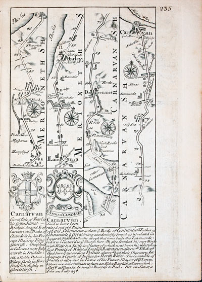
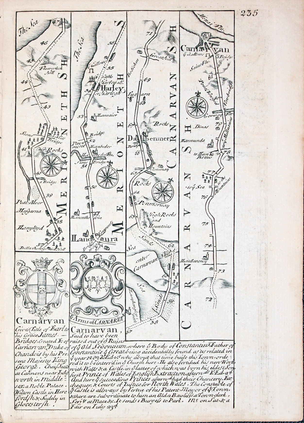
Road map Harlech to Caernarvon John Owen and Emanuel Bowen c.1730
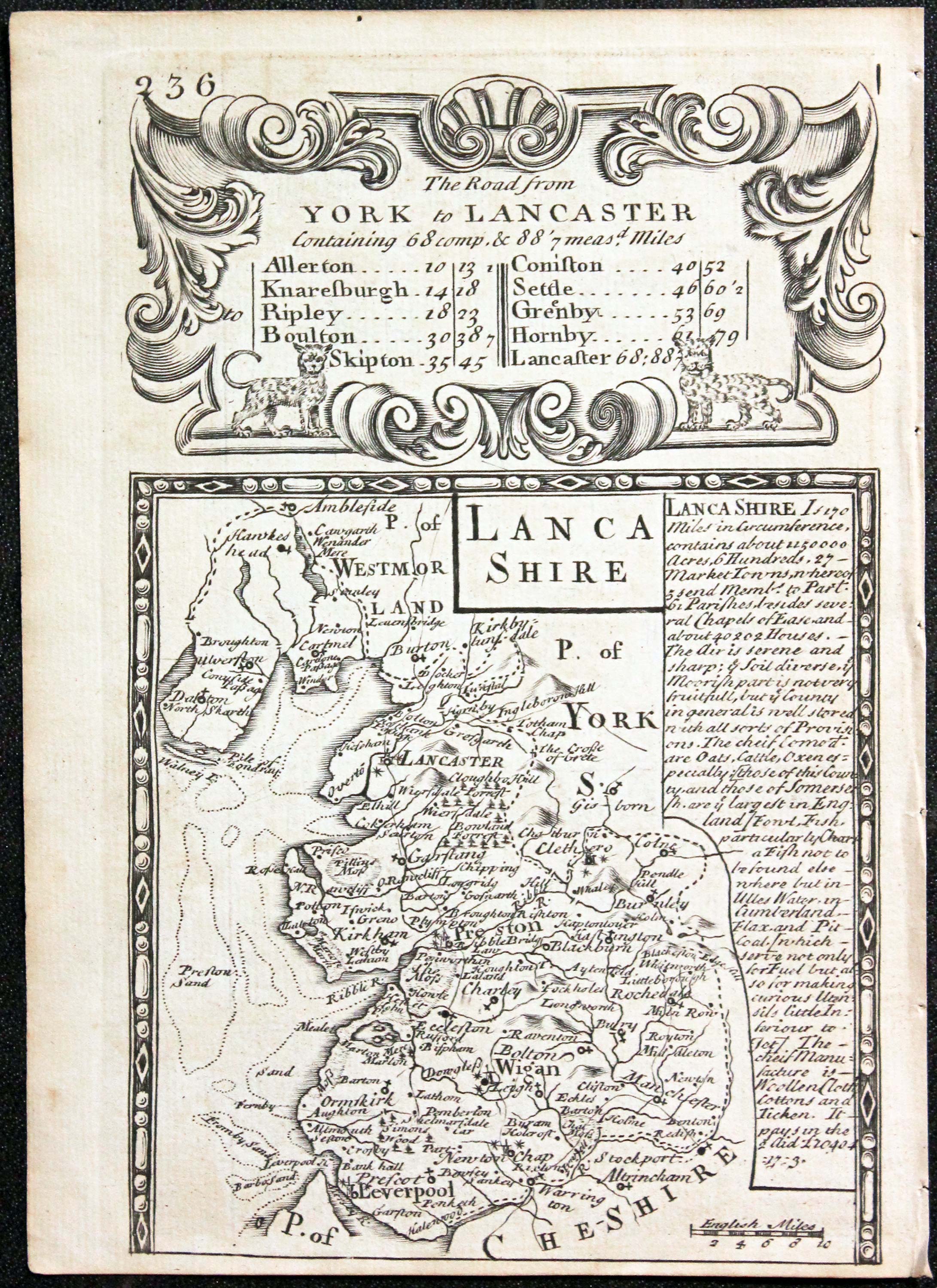
25921 Lancashire, John Owen / Emanuel Bowen, c.1730. Price: 37.00
LANCASHIRE
An old county map of Lancashire with description, surmounted by a decorative cartouche showing details of the Road from York to Lancaster. On the reverse side is a strip road map starting in Merionethshire and passing through Harlech and northwards as far as Caernarvon. Embellished with two coats of arms and engraved notes by John Owen. 4 x 7 inches. Uncoloured. Good condition.
From: Britannia Depicta

19th Century - Town Plan
-

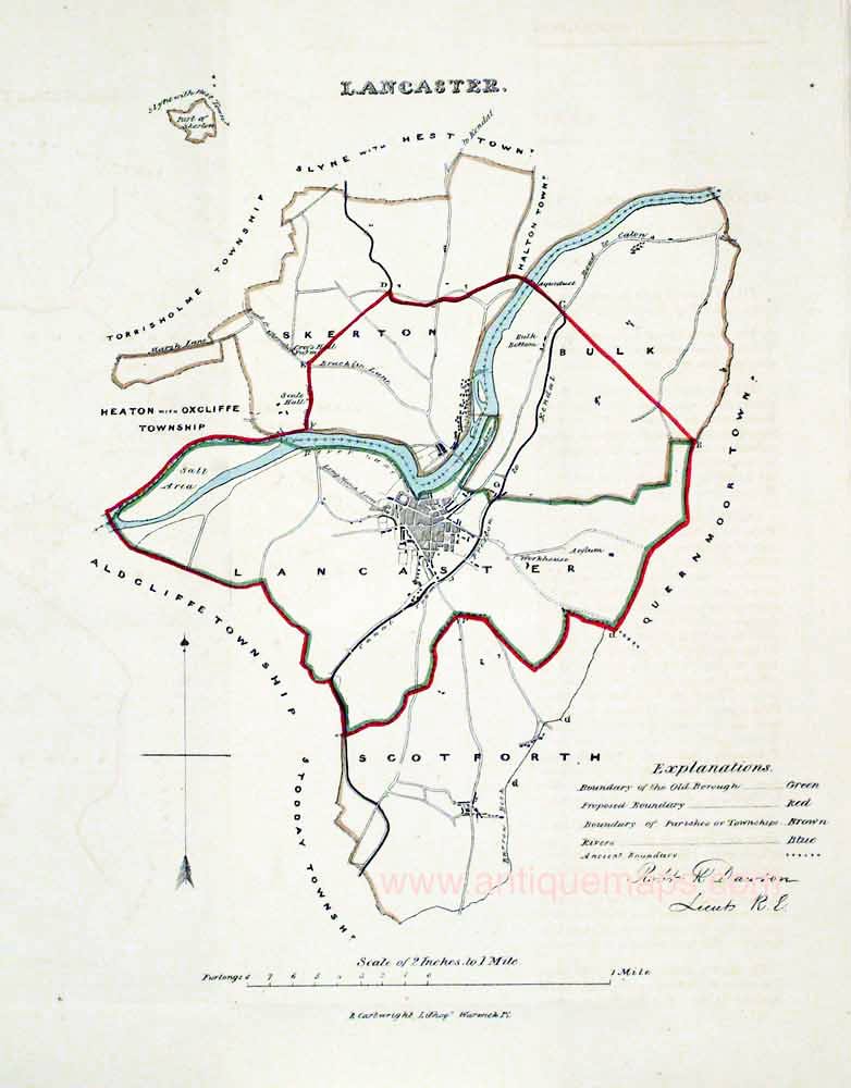
Lancaster, Robert Kearsley Dawson, 1832
26854 Lancaster, Robert Kearsley Dawson, 1832. Price: 35.00
LANCASTER
A map of Lancaster and environs on a scale of 2 inches to the mile. Compass pointer and explanation. About 8 x 10 inches. Original hand colouring. Good clean condition. With the original page of descriptive text.
From: Plans of the Cities and Boroughs of England and Wales

Late 19th Century
-
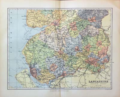
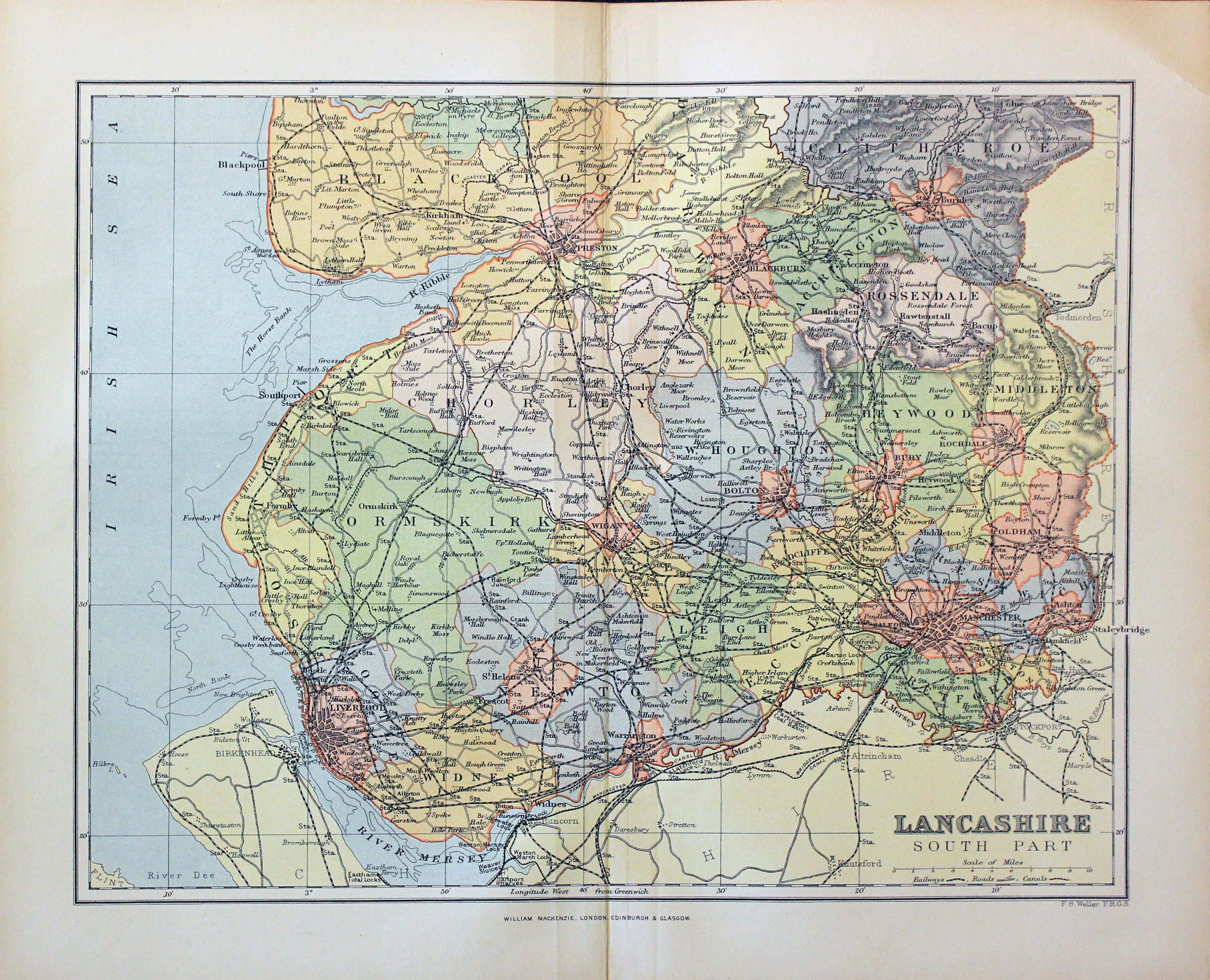
South Lancashire, Francis Sydney Weller, c.1898
27349 South Lancashire, Francis Sydney Weller, c.1898. Price: 9.00
LANCASHIRE SOUTH PART
A colour print lithograph of the southern part of the county. Includes the railways at that time. 11 x 8 1/2 inches. Good condition.
From: From The Comprehensive Gazetteer of England Wales

19th Century - Early Hand Colouring
-
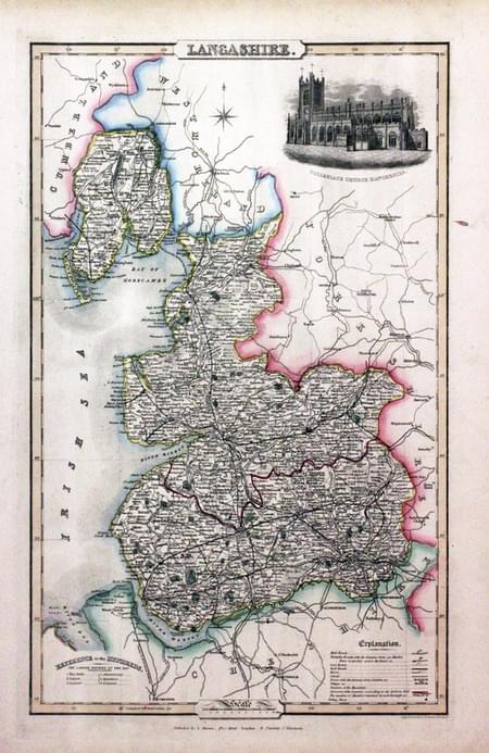
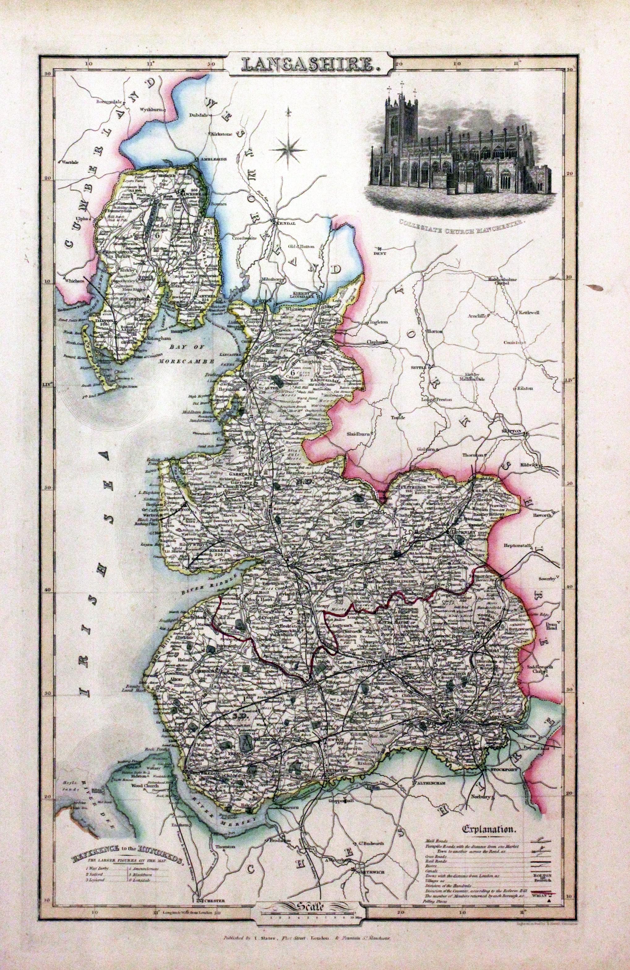
Lancashire, James Pigot / Isaac Slater, c.1857
30784 Lancashire, James Pigot / Isaac Slater, c.1857. Price: 70.00
LANCASHIRE
An engraved map of the county with title, scale, explanation and list of hundreds. Embellished with an uncoloured view of Collegiate Church, Manchester. 8 3/4 x 14 inches. Original outline hand colouring. On stout paper. Small splash of watercolour in the top right hand blank margin but otherwise good undamaged condition.
From: Isaac Slater’s New British Atlas

Late 19th Century
-

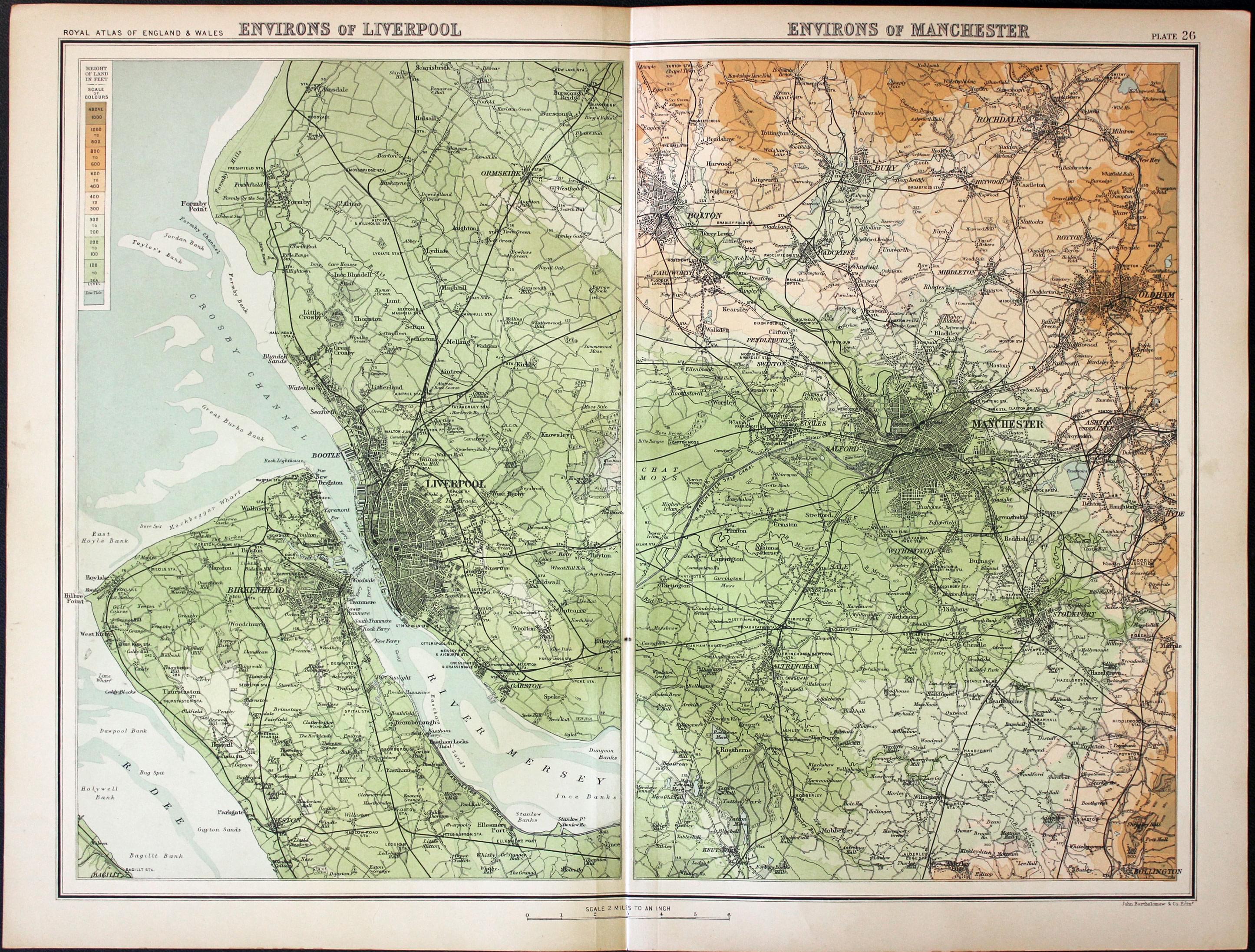
Environs of Liverpool and Manchester, John Bartholomew, c.1898
30839 Environs of Liverpool and Manchester, John Bartholomew, c.1898. Price: 22.00
ENVIRONS OF LIVERPOOL. ENVIRONS OF MANCHESTER
A colour printed map showing two panels with Liverpool, the Wirral and area around Manchester. Scale of 4 miles to the inch. Shows the railways. Centre fold. 16 1/2 x 12 1/2 inches. Good clean condition.
From: The Royal Atlas

18th Century
-

Lancashire, John Rocque, 1769
31645 Lancashire, John Rocque, 1769. Price: 49.00
LANCASHIRE
An engraved county map with compass rose and scale. The title appears above the map. 6 1/4 x 7 3/4 inches. Hand coloured. Good condition. In a dark green sunk mount.
From: England Displayed

Late 19th Century
-

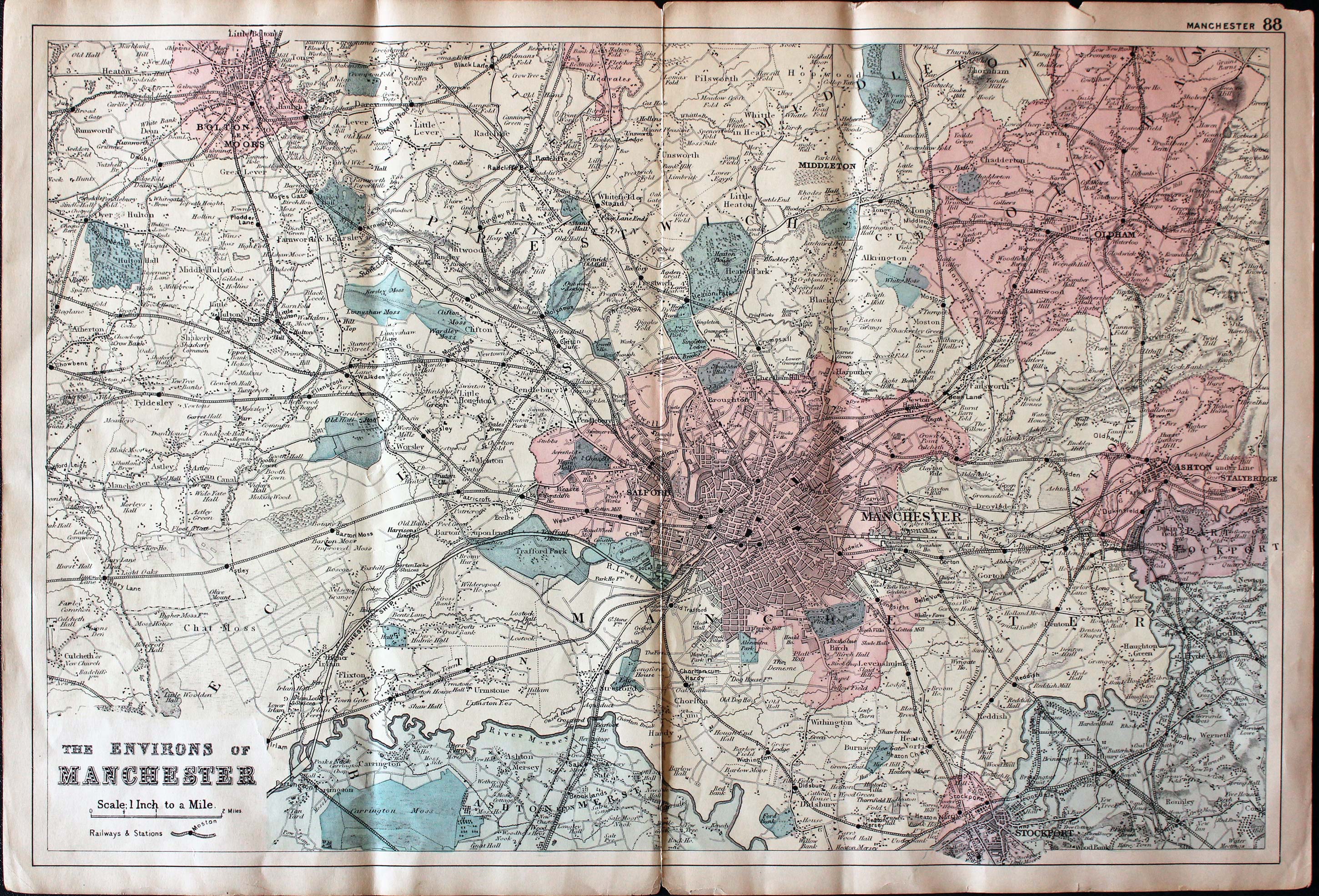
Environs of Manchester G. W. Bacon c.1884
31660 Environs of Manchester, George Washington Bacon c.1884. Price: 14.00
MAP OF THE ENVIRONS OF MANCHESTER
Scale 1 inch to a Mile. An interesting colour printed lithograph map of the region. 19 1/4 x 12 1/2 inches. Few nicks in top and bottom blank margin edges. Splits at the toop and bottom of the centre fold.
From: New Large Scale Ordnance Atlas of the British Isles published by George W. Bacon

18th Century - County and Road Map
-

Lancashire Owen and Bowen c.1740
31662 Lancashire, John Owen and Emanuel Bowen, c.1740. Price: 22.00
LANCASHIRE
A county map with description, surmounted by a decorative cartouche showing details of the Road from York to Lancaster. On the reverse side is a strip road map starting in Merionethshire and passing through Harlech and northwards as far as Caernarvon. Embellished with two coats of arms and engraved notes by John Owen. 4 x 7 inches. Uncoloured. Little to no bottom blank margin with slight trimming.
From: Britannia Depicta

Early 18th Century
-

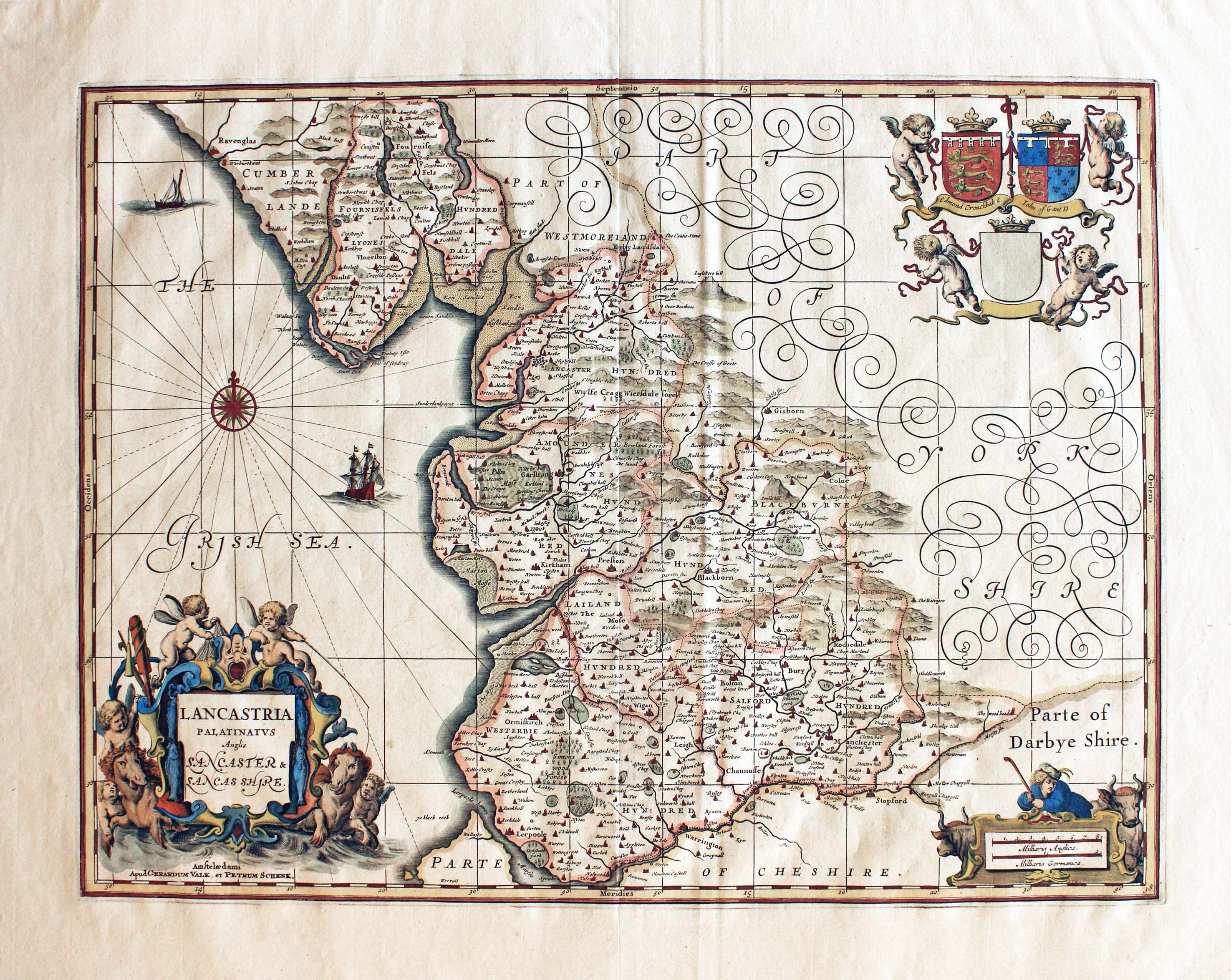
Lancashire Schen/Valk c.1715
31663 Lancashire, Gerard Valk and Pieter Schenk, c.1715. Price: 290.00
LANCASTRIA PALATINUS Anglis LANCASTER & LANCASHIRE
Published in Amsterdam. The Gerard Valk and Pieter Schenk edition of Jansson's fine map of the county. Decorative title cartouche with two sea horses and putti. Scale cartouche and garland of two coats of arms and one blank shield supported by putti. 19 1/4 x 14 3/4 inches, 495 x 375 mm. Fine condition with attractive hand colouring. Wide margins.
Jan Jansson died in 1664. His copper plates were purchased by Pieter Schenk and Gererad Valk and maps were reprinted from 1683 with no text on verso. The name of Jansson was erased from the plates and their own names added.

19th Century - Town Plan
-

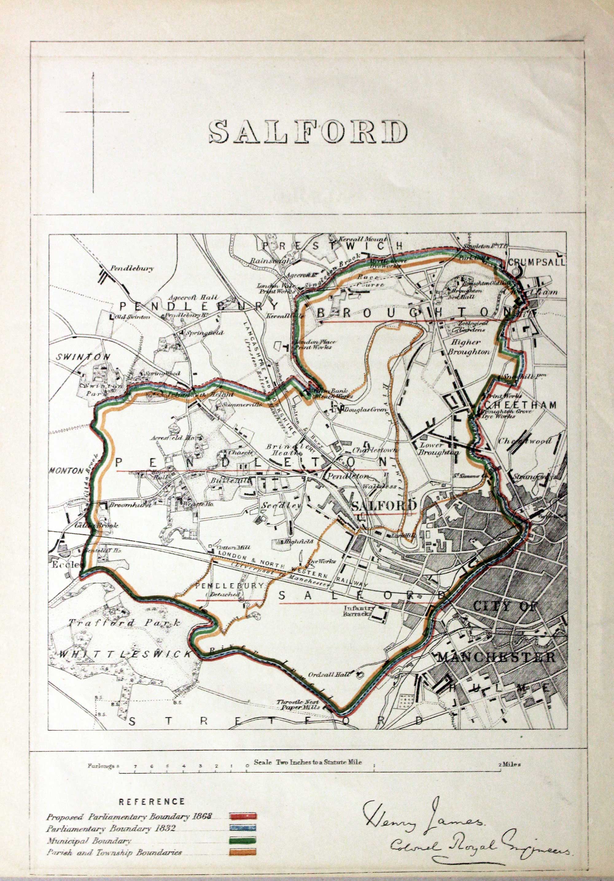
Salford Plan, Sir Henry James 1868
31744 Salford, Sir Henry James, c.1868. Price: 36.00
SALFORD
An interesting lithograph map of Salford and environs including Trafford Park, Cheetham, Pendlebury and Crumpsall. Colour coded reference below regarding parliamentary boundaries. Reproduction of the signature of Henry James, Colonel Royal Engineers beneath. Scale of 2 inches to a mile. 8 1/4 x 8 inches. Good clean condition. Presented in a light lilac coloured sunk mount with gold line.
From: Boundary Commission Report

18th Century - Town Plan
-

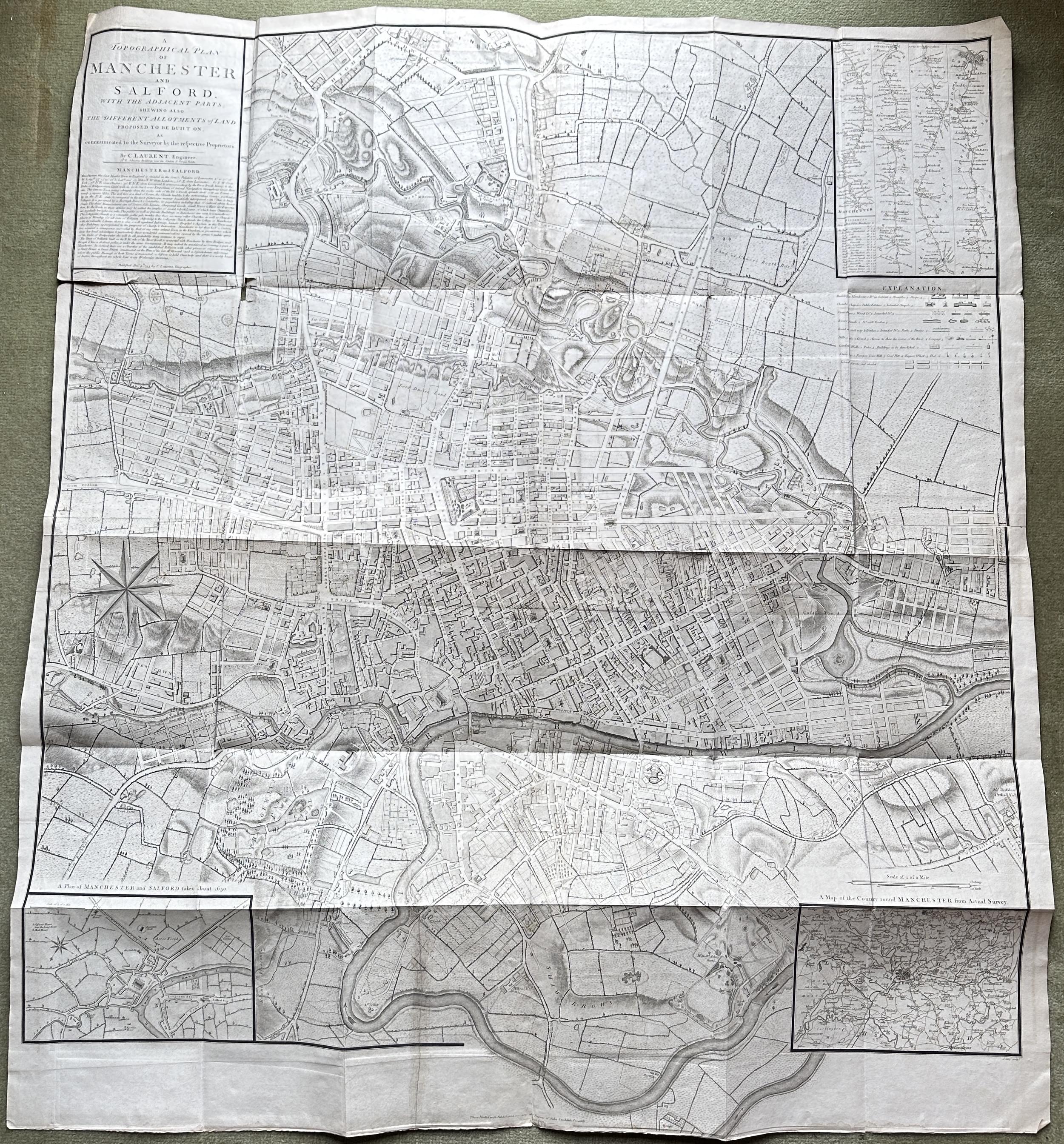
18th century plan of Manchester by Charles Laurent
-

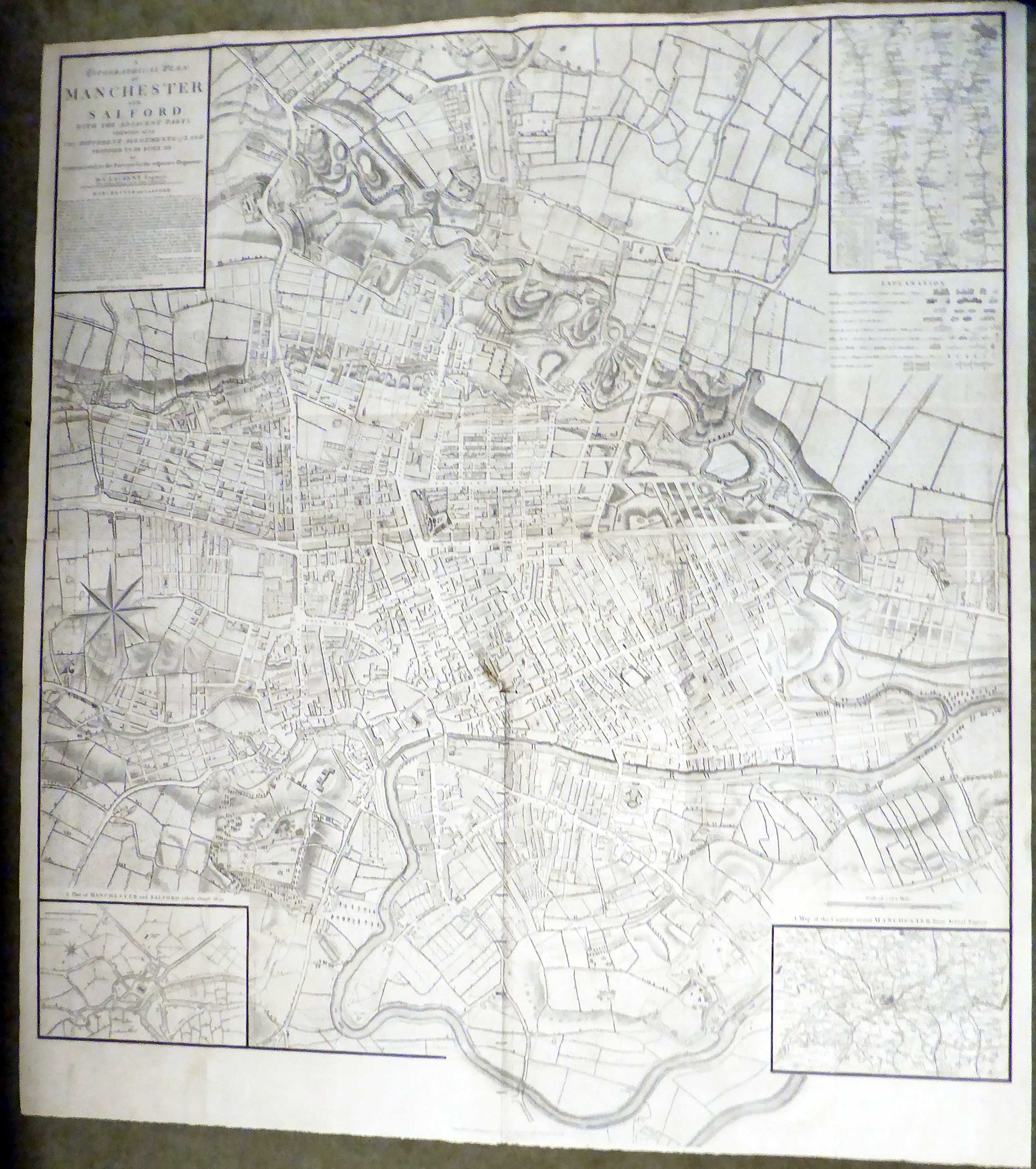
Manchester, Charles Laurent 1793
-

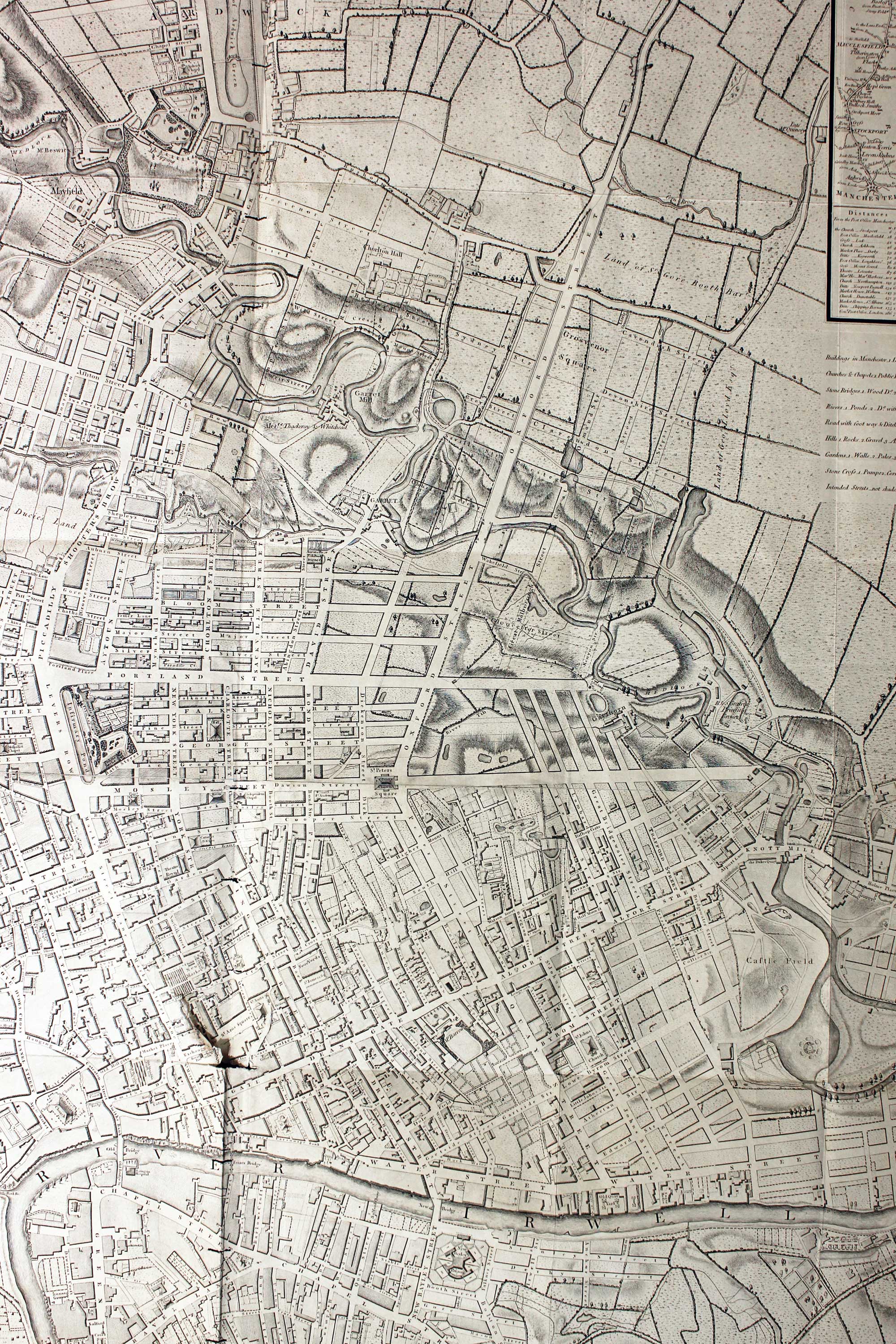
Detail Machester plan by C. Laurent
-
Manchester Charles Laurent
-

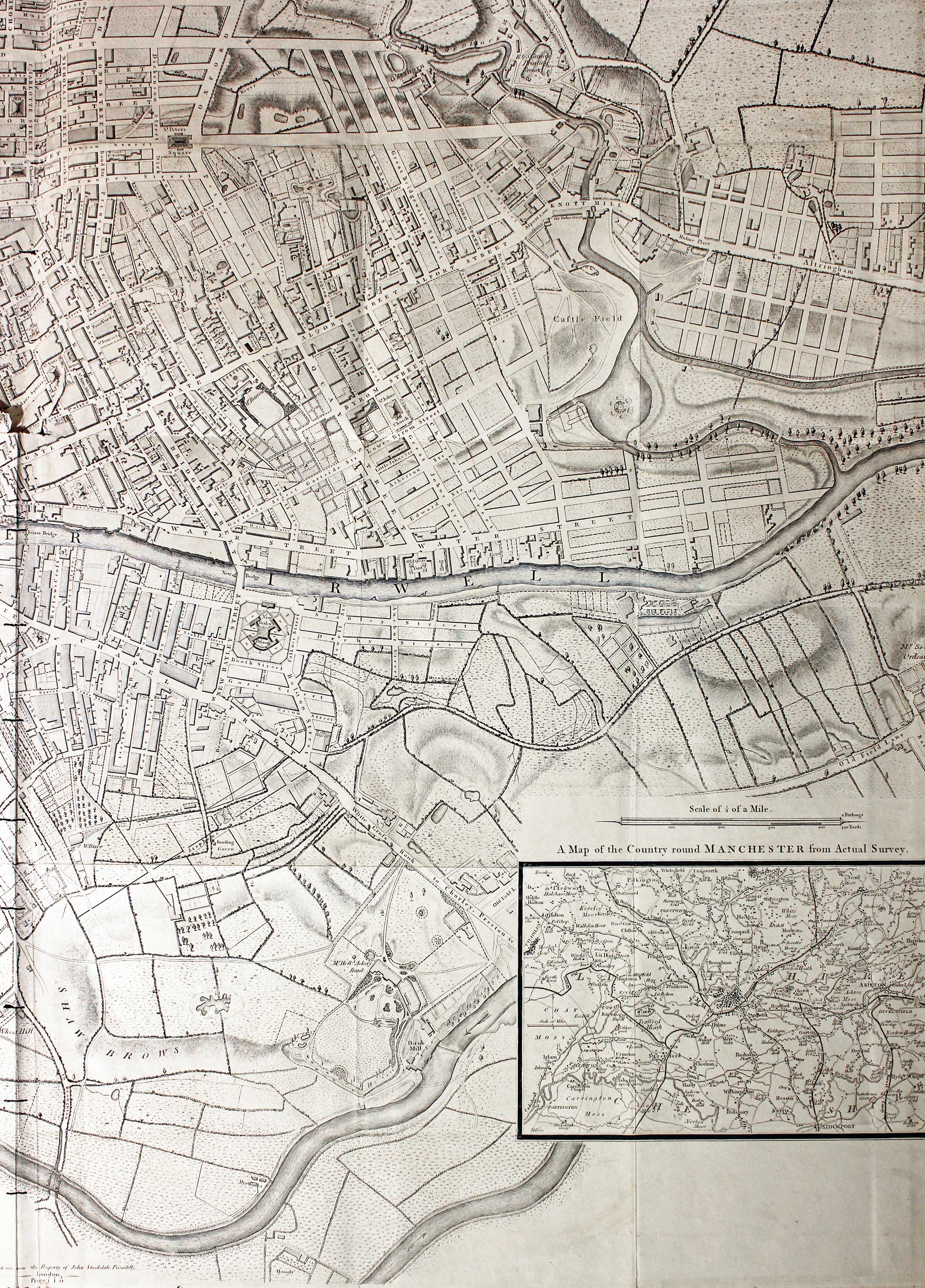
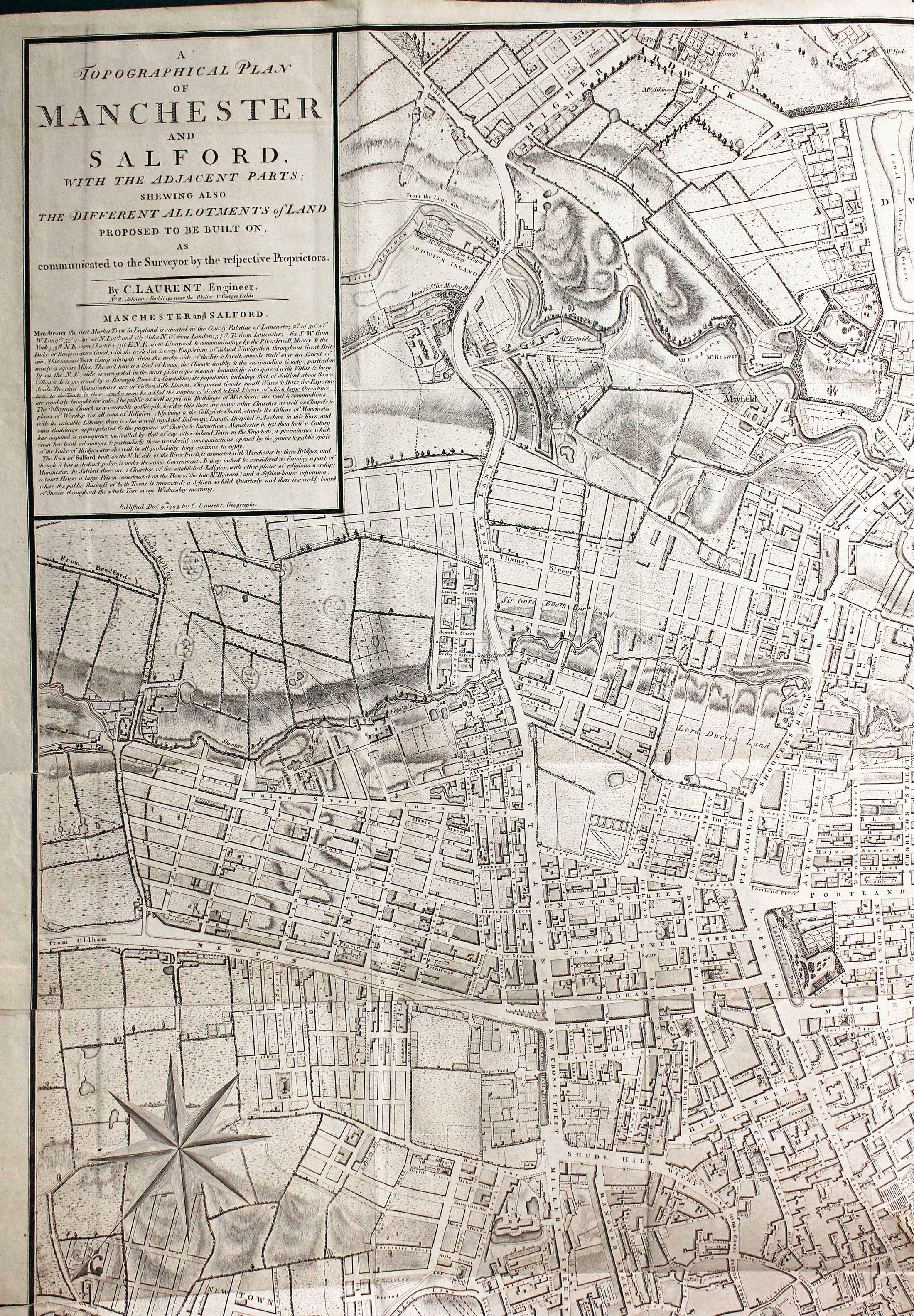
Large scale map of Manchester 1793
31748 Manchester and Salford, Charles Laurent, 1793. Price: 300.00
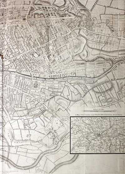
A TOPOGRAPHICAL PLAN OF MANCHESTER AND SALFORD WITH THE ADJACENTPARTS; SHEWING ALSO THE DIFFERENT ALLOTMENTS OF LAND PROPOSED TO BE BUILT ON AS COMMUNICATED TO THE SURVEYOR BY THE RESPECTIVE PROPRIETORS
A fine large detailed folding engraved plan of the City of Manchester and Salford. The surveyors name Charles Laurent is shown in the title panel with his address No. 2 Johnsons Buildings near the Obelisk St.George’s Fields. The plan has three inset maps. A strip road map of the route from Manchester to London, A plan of Manchester and Salford in 1650 and A map of the country around Manchester. 36 1/4 x 41 1/2 inches. This is a folded map so has the original fold creases. Specimens vary a lot in condition depending how many times they have been unfolded and handled. This is a fairly good specimen just having some splits and slight tears with no loss of the engraved image at one point in the middle of the map where two creases meet. Plus a series of staple size binding holes running down the centre fold where there is some loss of engraved area. Some strenthening patches to the fold have been added to the verso of map in past years. Otherwise a very nice clean specimen which would make a wonderful and interesting wall decoration when framed. The price of the plan when first sold was 1 guinea.
From: A Description of the County from Thirty to Forty Miles Round Manchester by J. Aikin

Early 19th Century
-

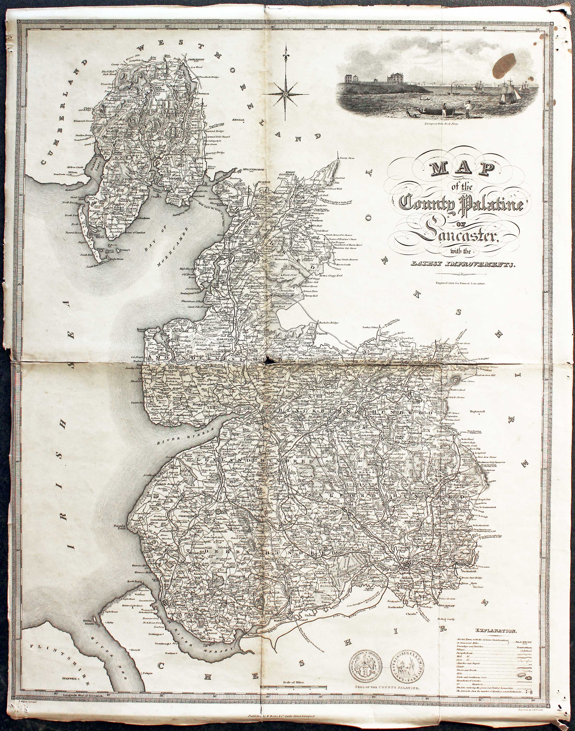
Lancashire William Wales & Son c.1824
31672 Lancashire, William Wales & Co. c.1824. Price: 26.00
MAP OF THE COUNTY PALATINE OF LANCASTER WITH THE LATEST IMPROVEMENTS
A detailed engraved map of the county embellished with a view of Liverpool from Rock Ferry. The surveyor was T. Wilson and the engraver J. H. Franks. Explanation and and two views of the Seal of the County Palatine. 16 x 20 1/4 inches. Uncoloured. Folding creases. Not the best of specimens but a special price. Hole in the centre at the meeting of the folds. Brown stain on the vignette view. Little to no blank margin on the left hand side. Some small holes in the blank margin at all four corners. From History of Lancashire by Edward Baines
From: History of Lancashire by Edward Baines

Late 19th Century
-

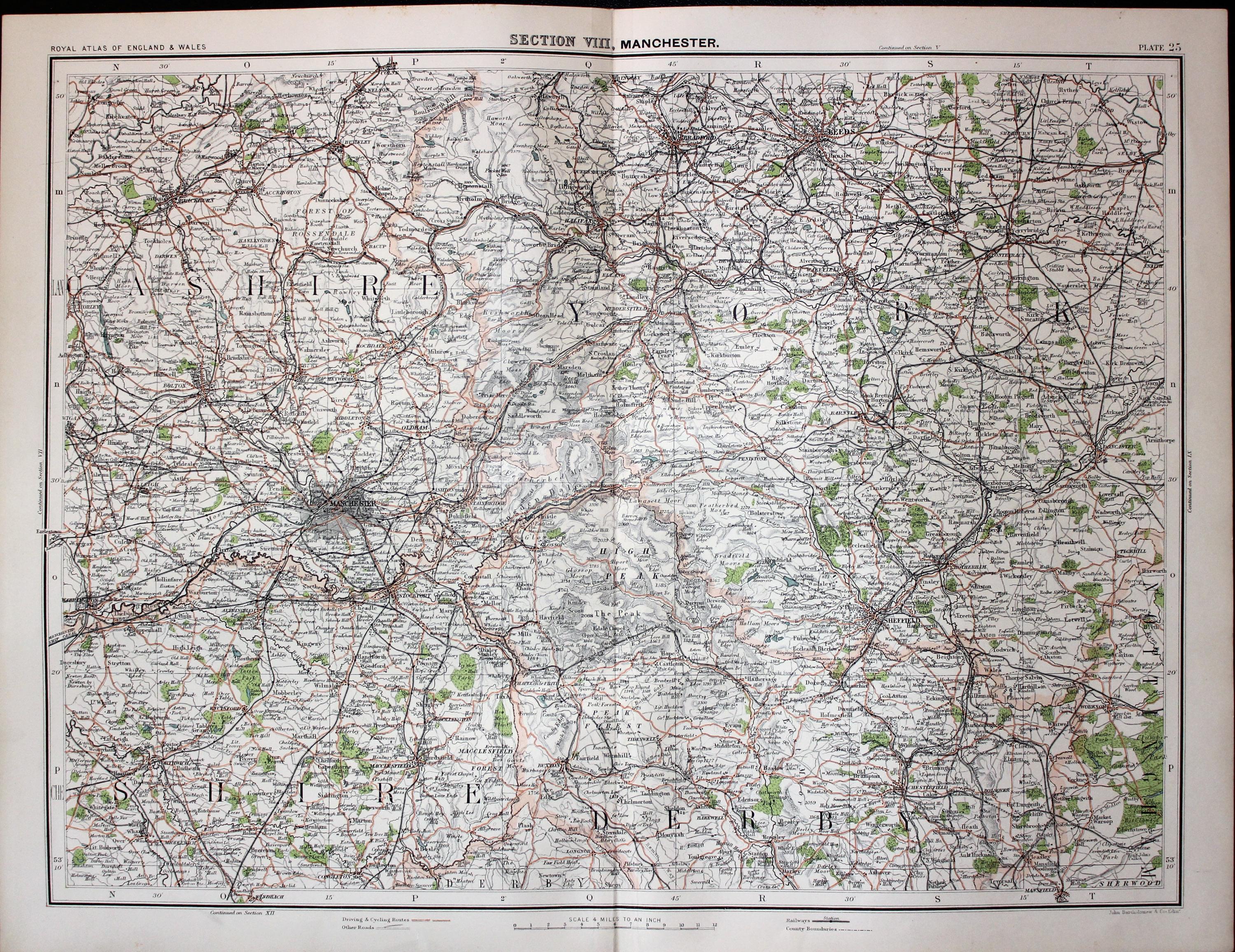
Parts of Lancashire, Derbyshire and Yorkshire, John Bartholomew c.1898
32175 Parts of Lancashire, Derbyshire and Yorkshire, John Bartholomew c.1898. Price: 21.00
SECTION VIII, MANCHESTER
A colour printed map showing parts of Lancashire, Cheshire and Yorkshire. Includes Manchester, Burnley, Macclesfield, Buxton, Sheffield, Wakefield and Leeds. Scale of 4 miles to the inch. Shows the railways. Centre fold. 16 1/2 x 12 1/2 inches. Good clean condition.
From: The Royal Atlas

19th Century - Large Folding Town Plan
-

Liverpool, folding plan by Philip & Son 1880
-
Deatail from Liverpool, folding plan by Philip & Son 1880
-

Cover fro Liverpool, folding plan by Philip & Son 1880
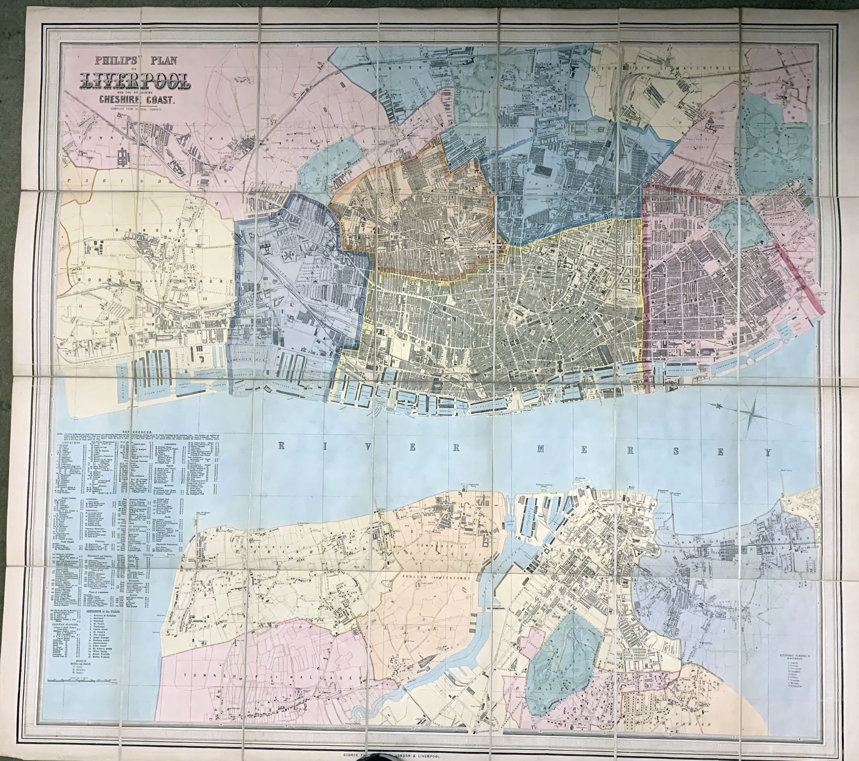
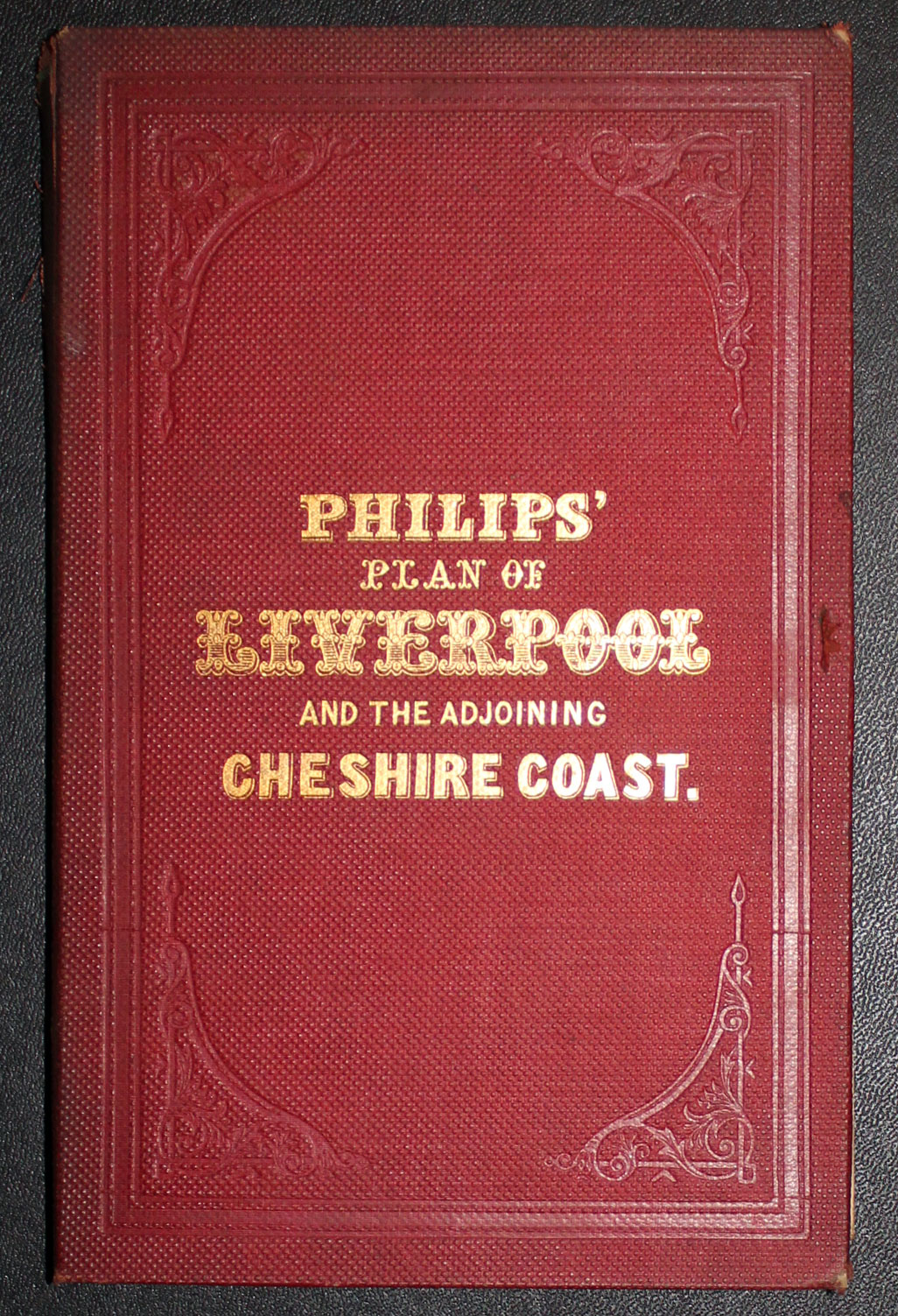
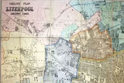
32523 Liverpool, George Philip & Son, c.1880. Price: 265.00
PHILIPS PLAN OF LIVERPOOL AND THE ADJOINING CHESHIRE COAST. COMPILED FROM ACTUAL SURVEYS
A magnificent large detailed lithograph coloured plan of Liverpool and the northern part of the Wirral. Extensive List of References in the lower left hand corner. The map is divided into 28 sections and mounted on linen and folding with the original titled red folder. The map measures 38 1/4 x 34 1/2 inches. Fine clean, undamaged condition. A nice specimen.

Early 17th Century - Miniature
-

Lancashire by Pieter van den Keere, c.1627
-
Pieter van den Keere Atlas Titlepage, c.1627
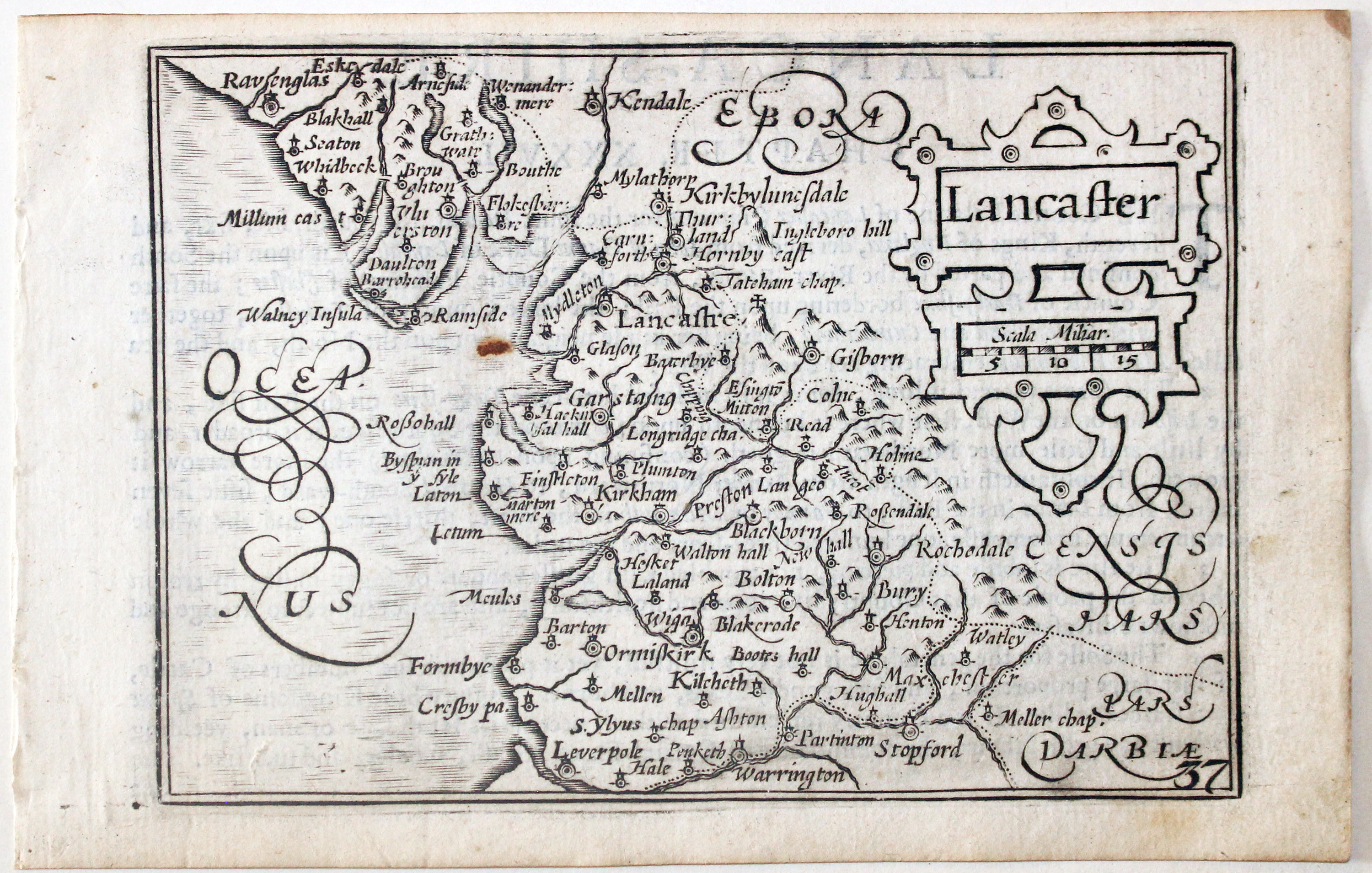
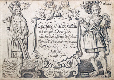
32651 Lancashire, Pieter van den Keere, c.1627. Price: 98.00
LANCASTER
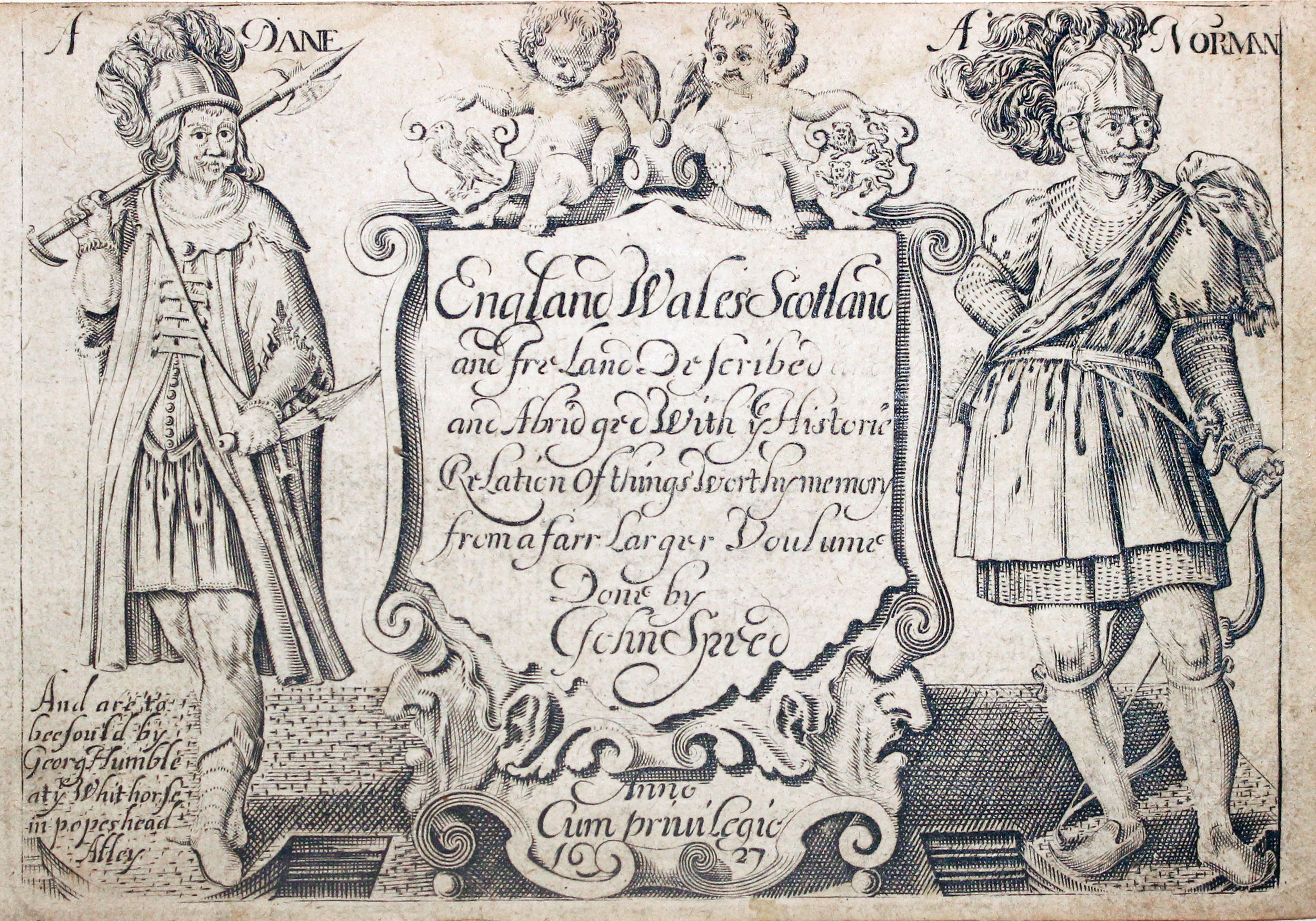
A early engraved miniature map of Cheshire. A strapwork cartouche displays the title and scale Numbered 36. 4 3/4 x 3 1/4 inches. A small rust mark in the sea area otherwise a clean undamaged uncoloured specimen. On verso is the start of a description of Cheshire in English. With this map are two following original double sided pages of text that complete the description. Straight from the atlas and not previously sold as a single map. The title page of the atlas is dated 1627
From England Wales Scotland and Ireland Described

Late 19th Century
-
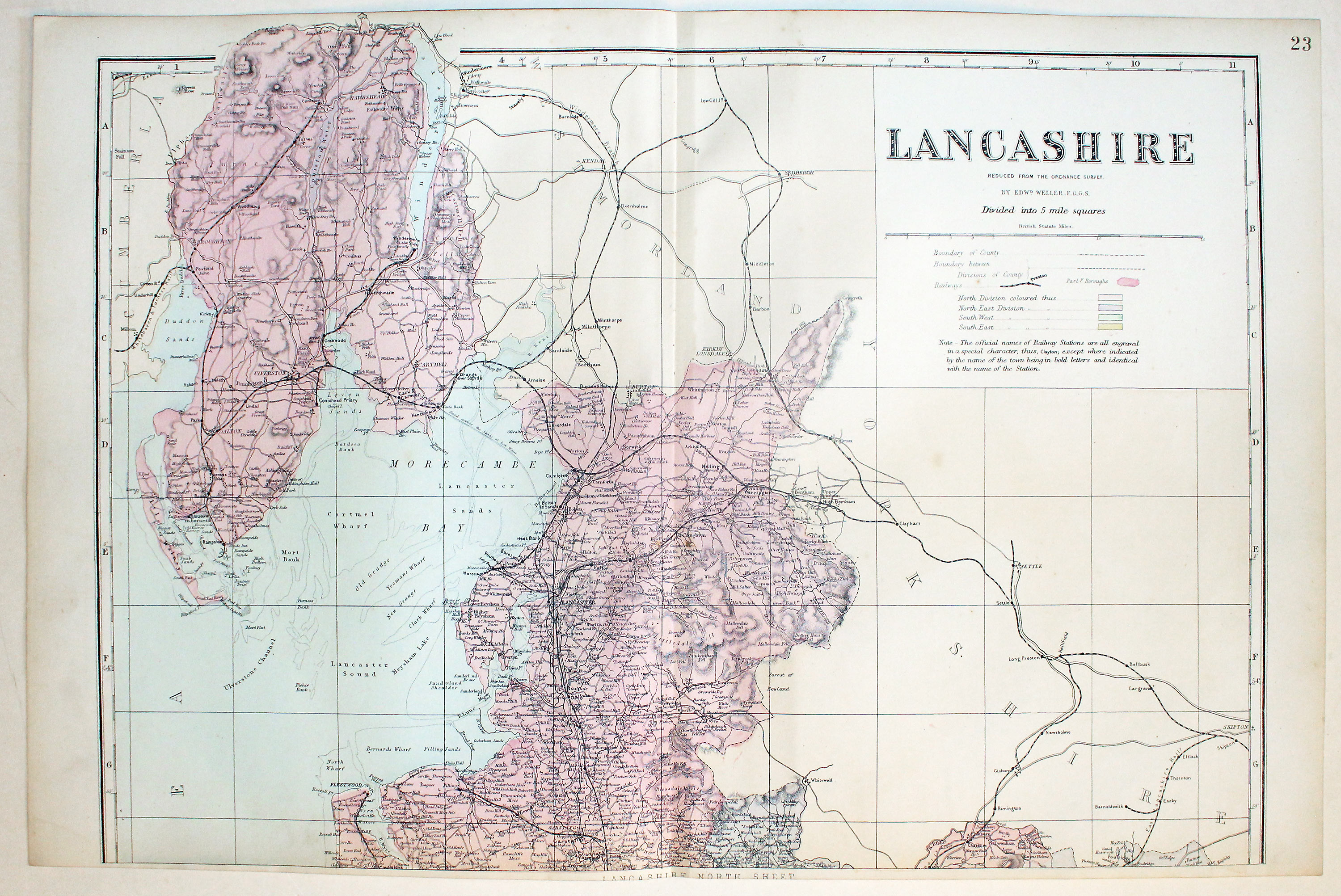
North Lancashire by Edward Weller c.1898
-
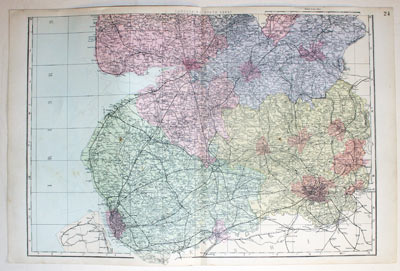
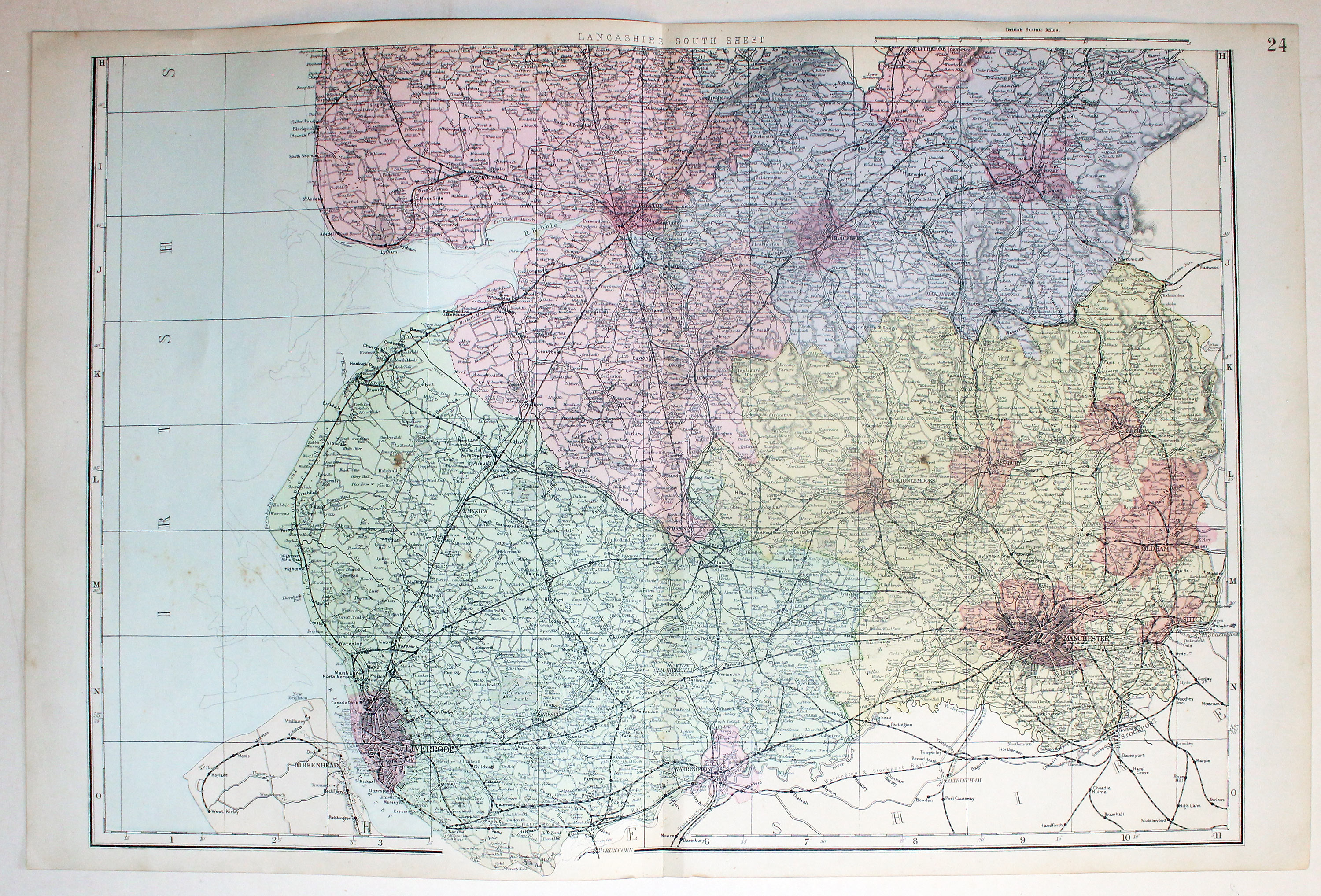
Southern Lancashire by Edward Weller, c.18998
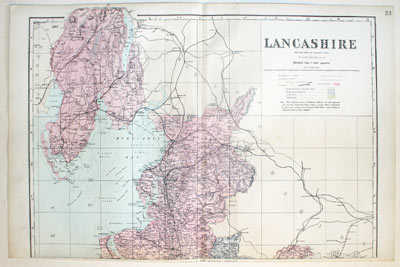
32718 Lancashire, Edward Weller, c.1898. Price: 21.00
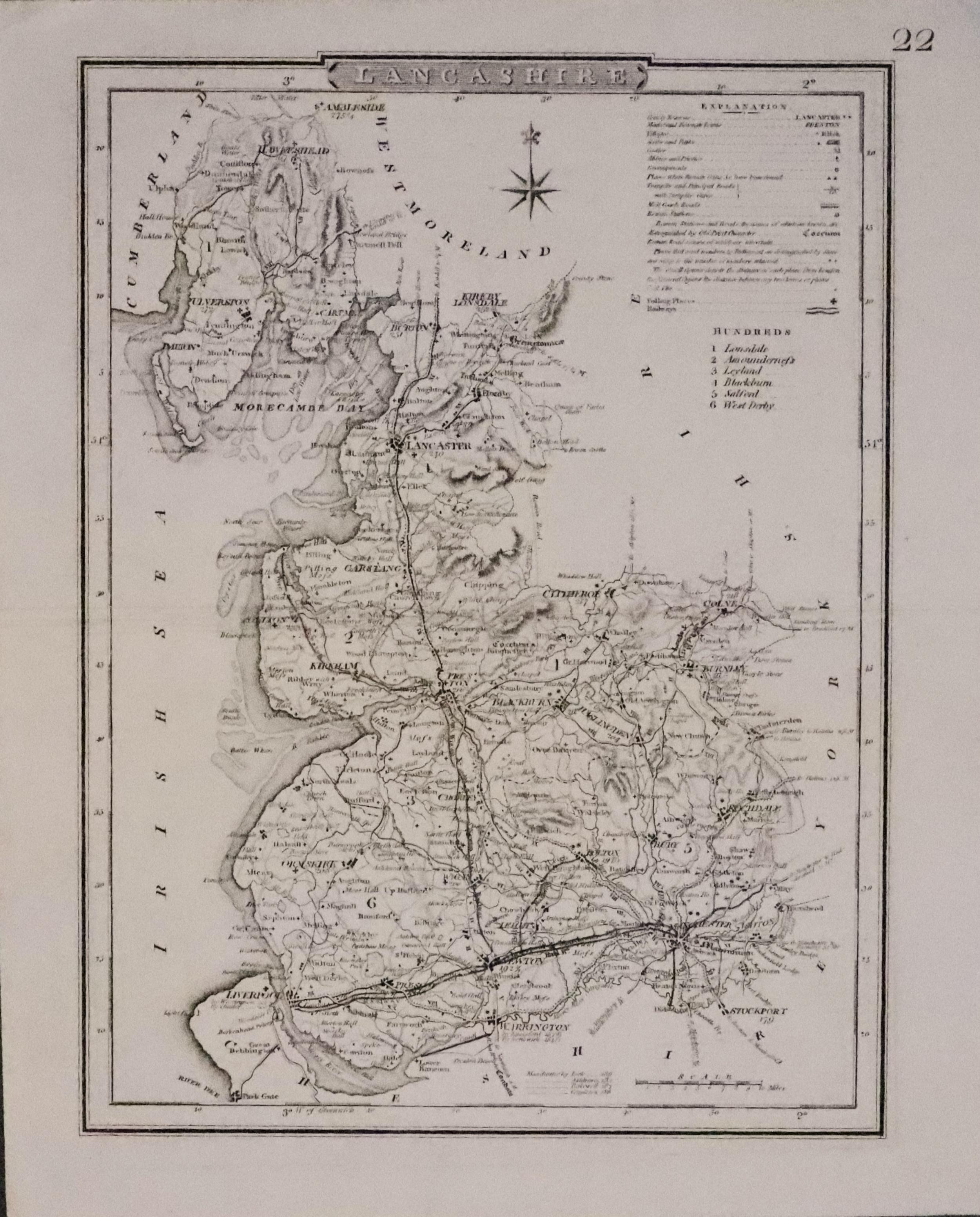
LANCASHIRE
A colour printed lithograph map of the whole county on two sheets. Each about 18 x 12 1/2 inches. Includes the railways at that time. 11 x 8 1/2 inches. Good condition.
From: Atlas of the British Isles published by George Washington Bacon

Late 19th Century - Town Plans
-

Salford Plan, Sir Henry James 1868
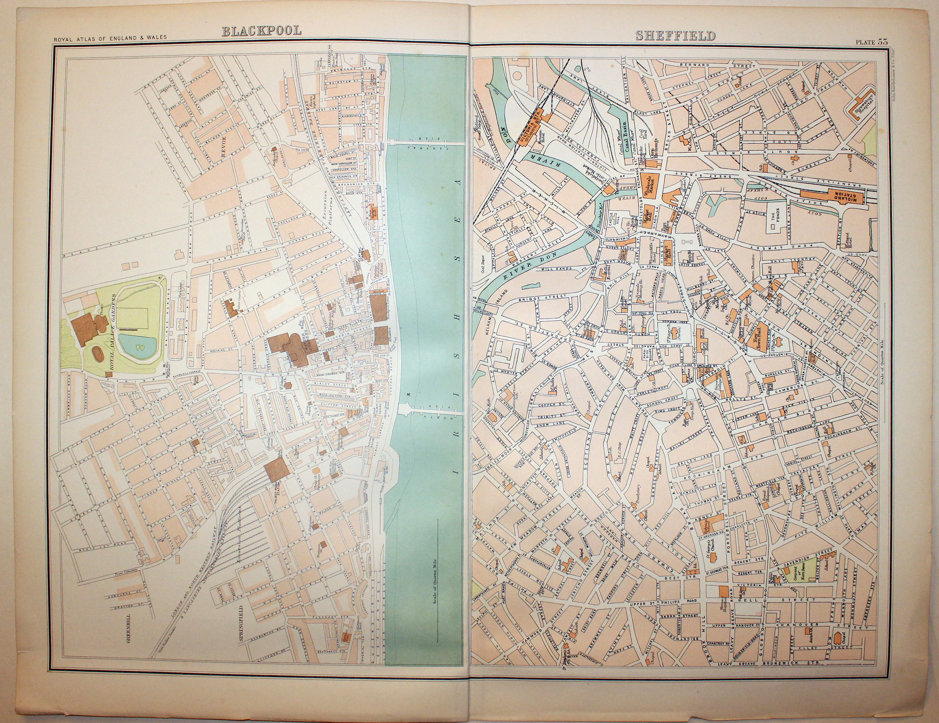
32767 Blackpool and Sheffield, John Bartholomew, c.1898. Price: 20.00
BLACKPOOL. SHEFFIELD
Two colour printed town plans on one sheet. 16 1/2 x 12 3/4 inches. Some light soiling on verso but front in good clean condition.
From: The Royal Atlas

19th Century - Decorative
-
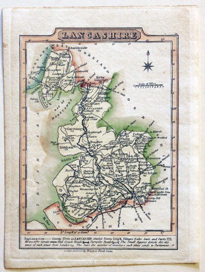
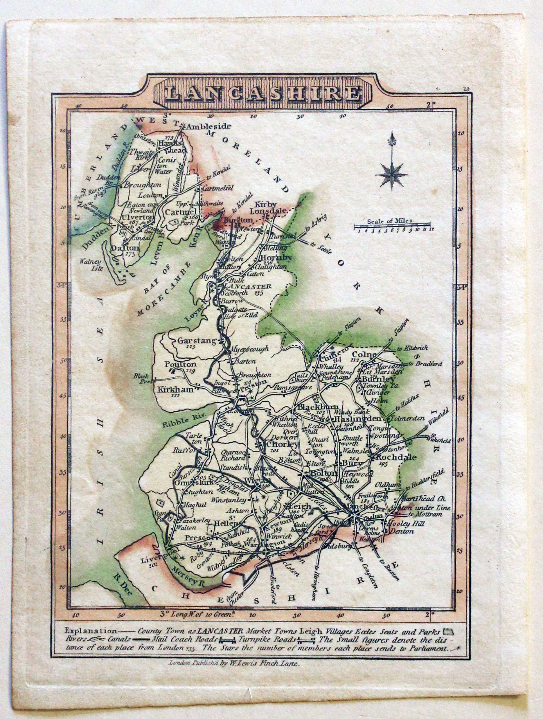
Lancashire, Wallis & Lewis 1819
-

Text for Lancashire, Wallis & Lewis 1819
32788 Lancashire, J. Wallis / W. Lewis, 1819. Price: 35.00
LANCASHIRE
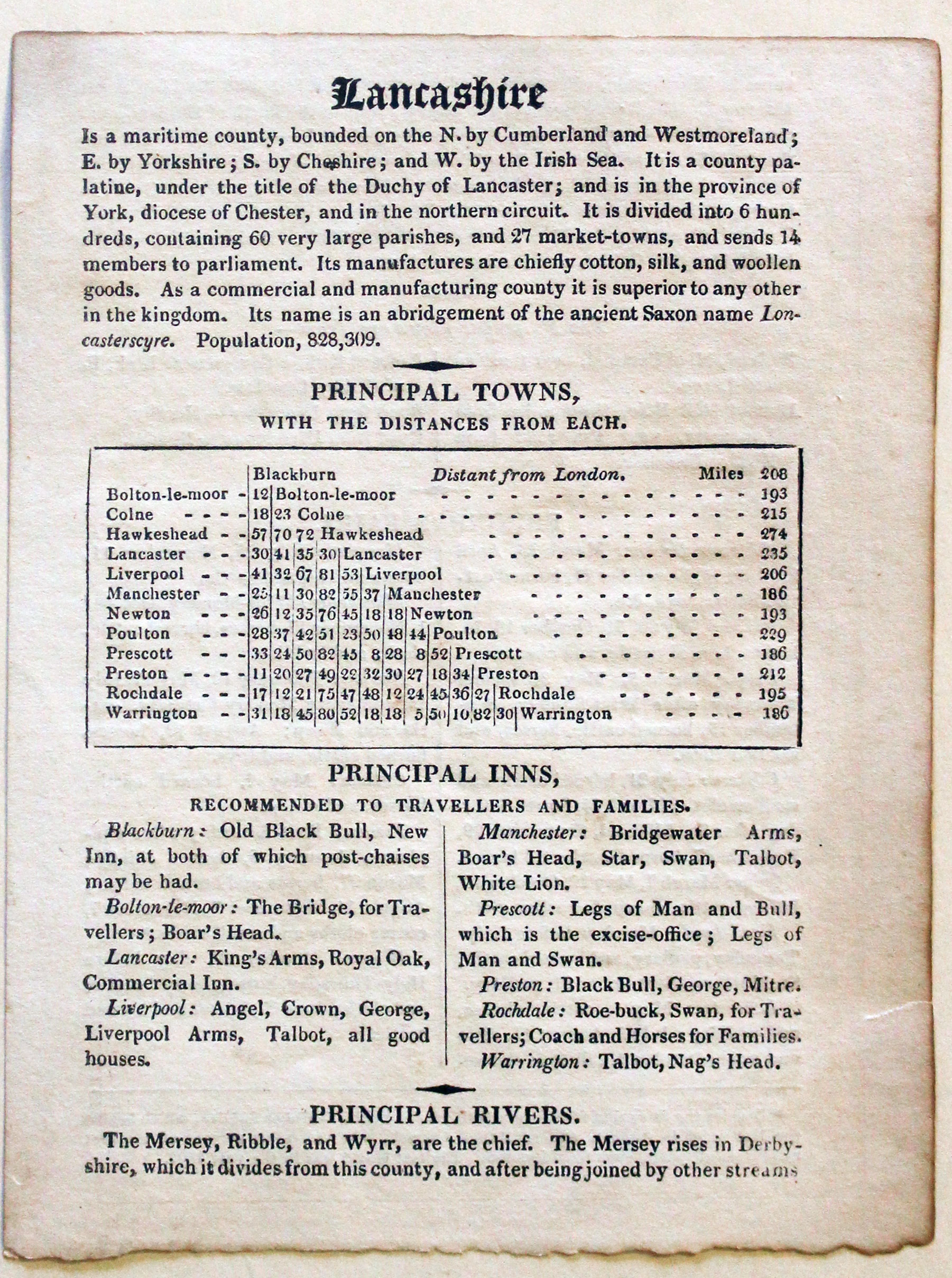
A small engraved county map with short description beneath. 3 x 4 inches. Original outline and wash colouring. Good condition. With original page of descriptive text giving details of of the county, towns, inns, rivers and fairs.
From: Wiliam Lewis' New Traveller's Guide

19th Century - Decorative
-

Lancashire, Thomas Moule c.1850
32790 Lancashire, Thomas Moule, c.1850. Price: 56.00
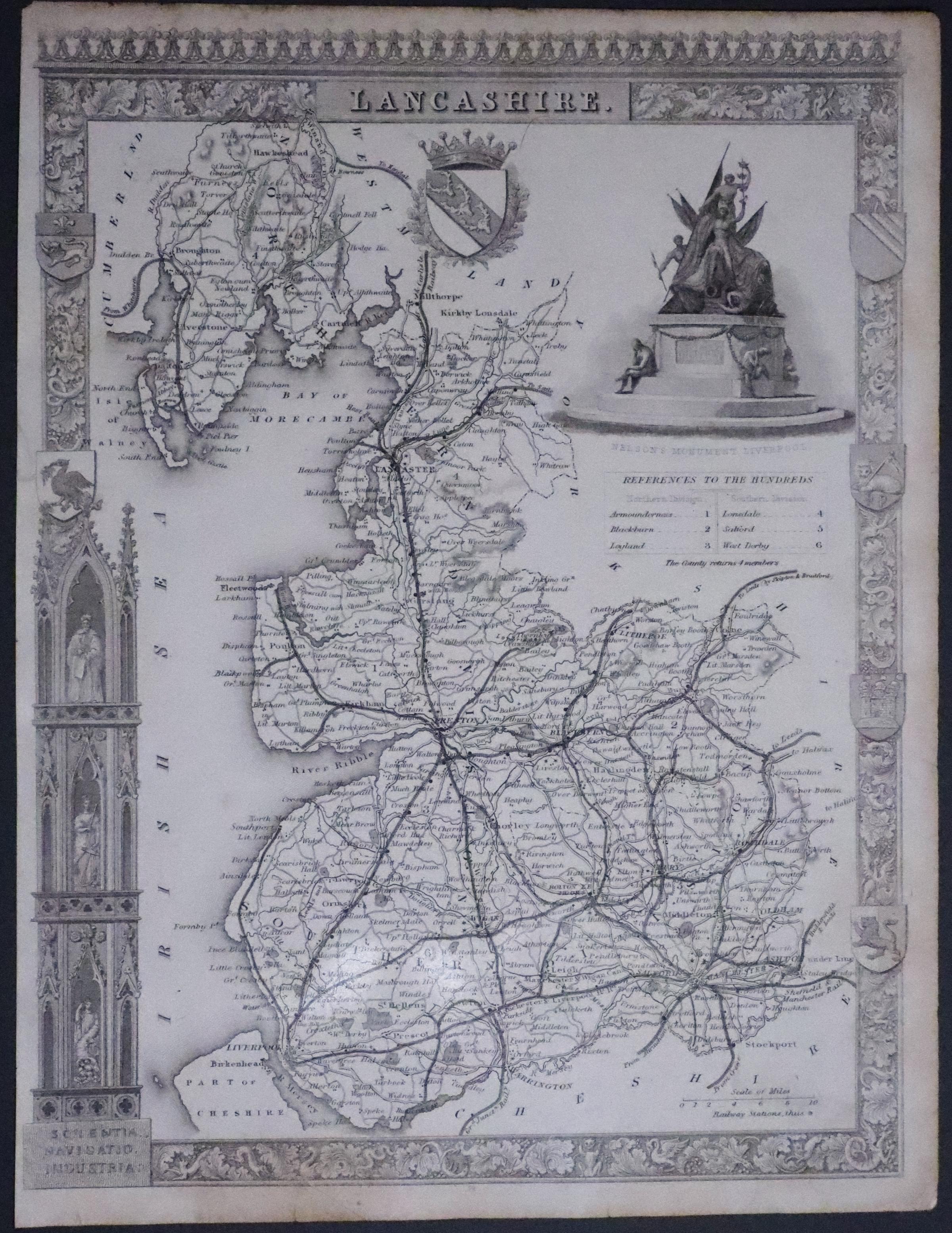
LANCASHIRE
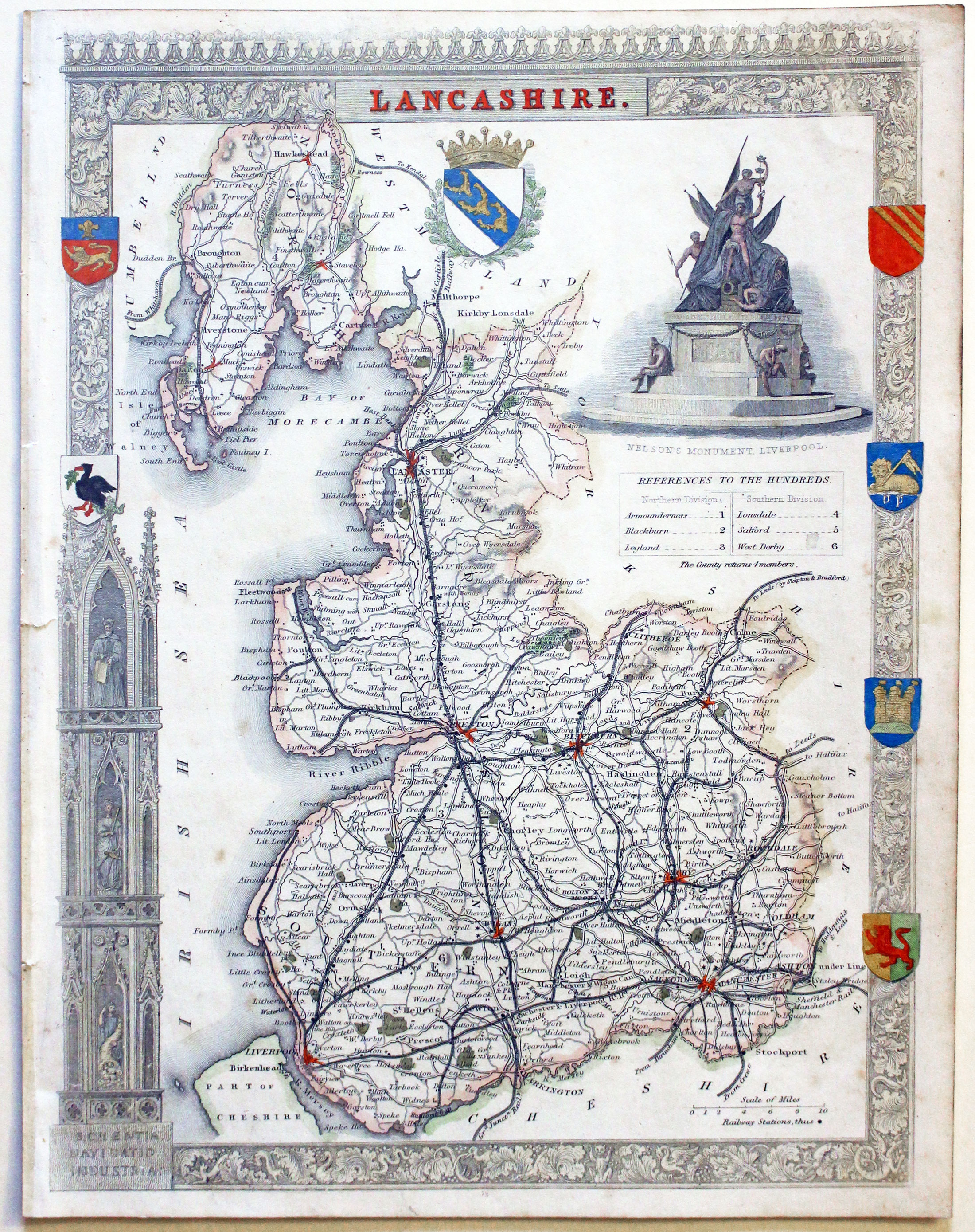
A decorative Victorian map of the county set within a patterned border with gothic architecture, vignette view of Nelson's Monument, Liverpool and seven coats of arms. 8 x 10 inches, 200 x 260 mm. Hand coloured. Tiny nick on the edge of the the left hand blank margin repaired otherwise good condition.
From: Barclay's Dictionary

Early 19th Century - Original Hand Colouring
-

Map of Lancashire, Charles Smith 1801
32819 Lancashire, Charles Smith ,1801. Price: 88.00
A NEW MAP OF THE COUNTY PALATINE OF LANCASTER DIVIDED INTO HUNDREDS. LONDON printed for C. SMITH, NO. 172 STRAND 1801
The first edition of this fine detailed map of the county with compass rose, explanation and list of hundreds. 17 3/4 x 19 3/4 inches. Original outline and wash hand colouring. Full original blank margins. Small slit at one end of the original centre fold otherwise good condition.
From: Smith’s New English Atlas

19h Century - Early Hand Colouring
-

Map of Lancashire by Samuel Lewis 1848
32917 Lancashire, Samuel Lewis, 1848. Price: 36.00
LANCASHIRE
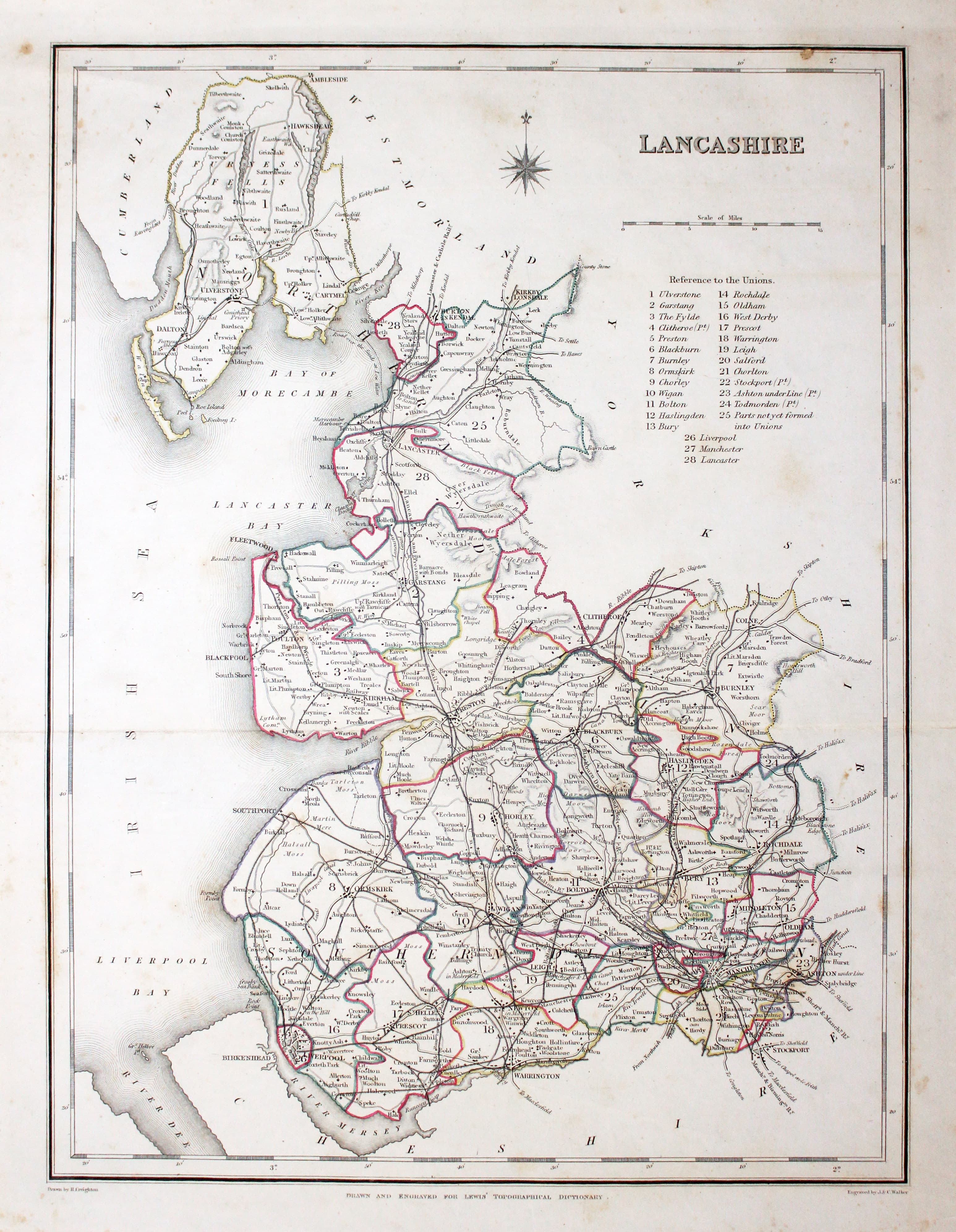
A county map drawn by R. Creighton and engraved by J. & C. Walker. Reference to the Unions. 9 1/4 x 12 inches. Single fold crease as issued. Uncoloured. A little very light foxing in the top left hand corner otherwise good clean condition.
From: Lewis' Atlas to the Topographical Dictionaries of England and Wales

19th Century
-

Map of Lancashire by Thomas Letts
32973 Lancashire, Thomas Letts, 1884. Price: 34.00
LANCASTER
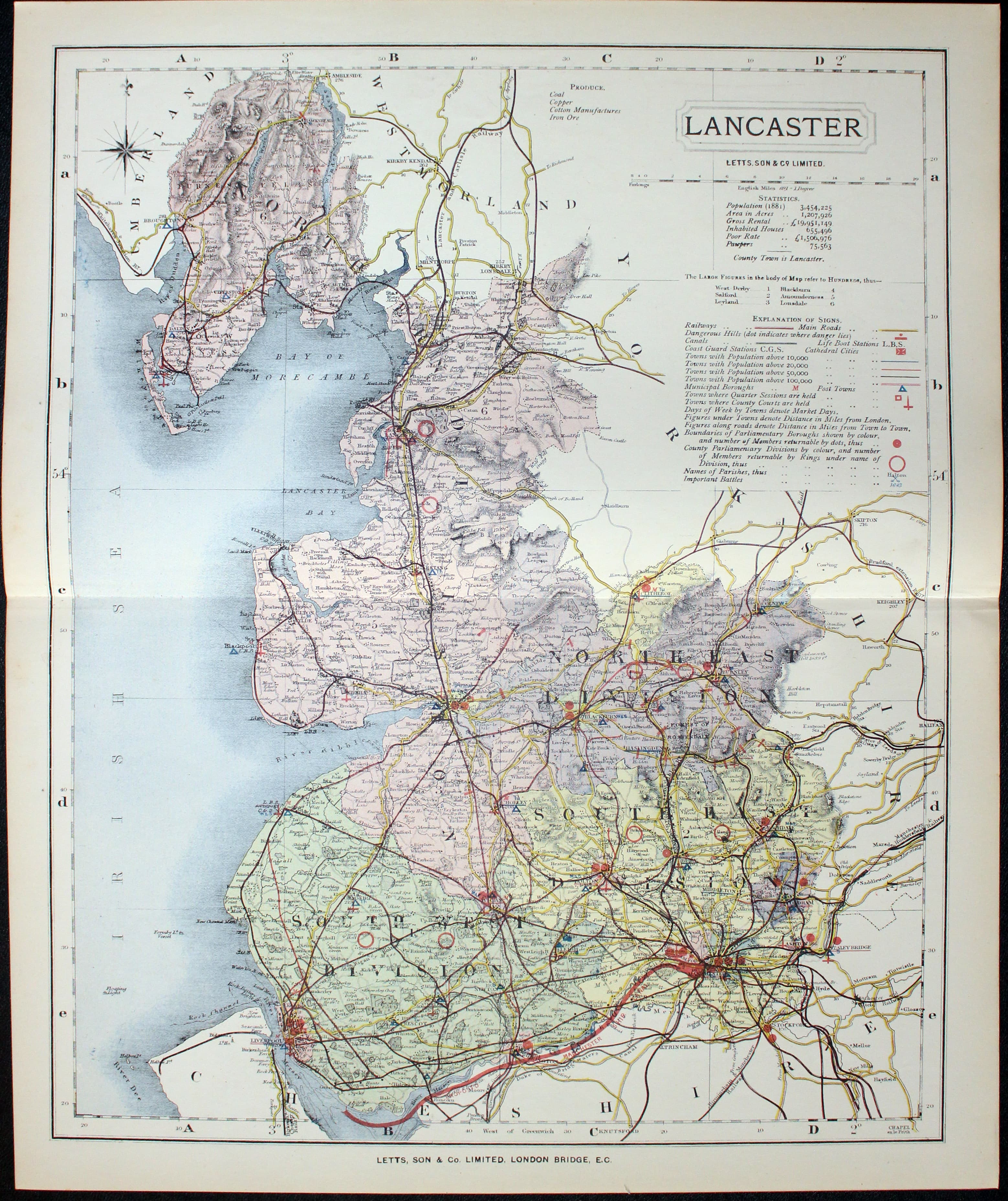
A detailed chromolithograph map of the county. Explanation plus statistics concerning Population, Area, Inhabited Houses, Poor Rate and Paupers. 12 3/4 x 15 3/4 inches. Original centre fold. Imprint of Letts & Son beneath. Fine clean condition. Straight from the atlas so never previously been sold as a single map.
From: Lett’s Popular County Atlas

17th Century
-
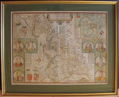
Map of Lancashire by John Speed 16776
-

English text for Lancashire map by John Speed 16776
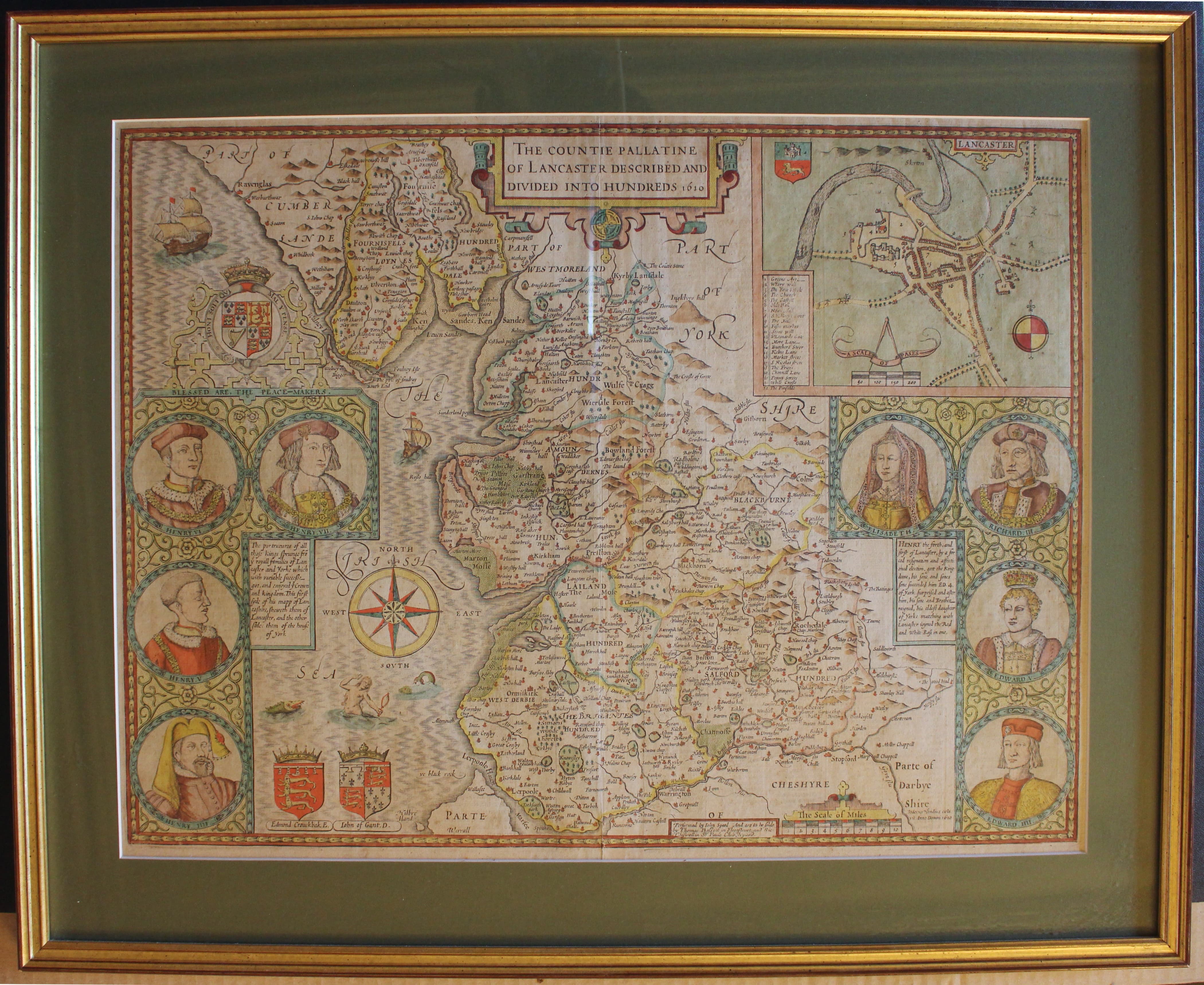
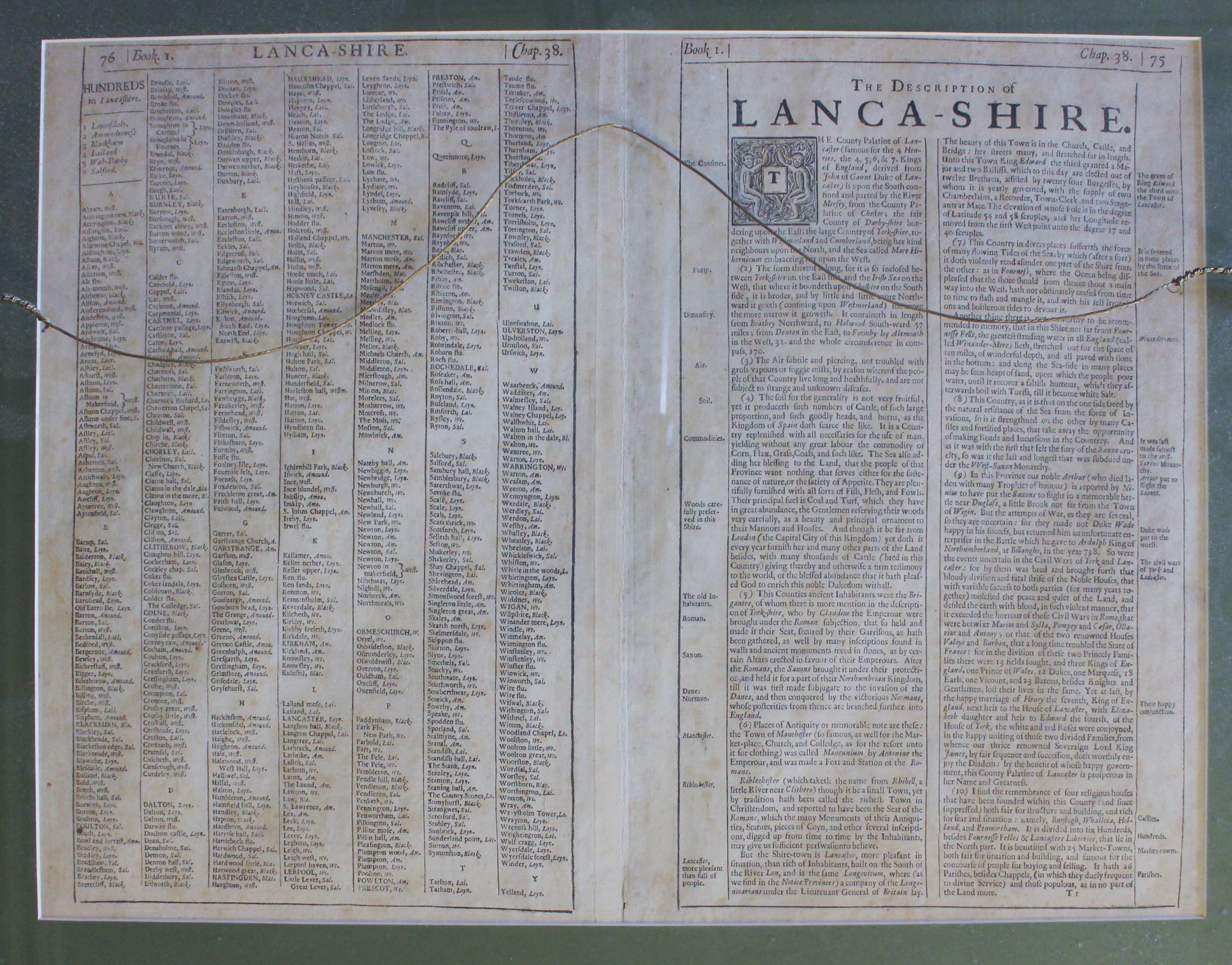
33007 Lancashire, John Speed 1676. Price: 1250.00
THE COUNTIE PALLATINE OF LANCASTER DESCRIBED AND DIVIDED INTO HUNDREDS 1610
John Speed's fine decorative early map of the county with the imprint of the publishers Thomas Basset and Richard Chiswell. The main decorative feature of the map, engraved by Jodocus Hondius, is the inclusion of eight royal portraits. Large inset town plan of Lancaster. Compass rose and coats of arms. 20 x 15 inches. English text on verso with a list of towns and villages. Attractive hand colouring. Good condition. Presented in a green 2 inch sunk mount and framed in a rubbed gold moulding.
From Theatre of the Empire of Great Britaine
Collection only from Christleton

17th Century - First Edition - Early Colouring
-

Map of Lancashire by Joan Blaeu 1645
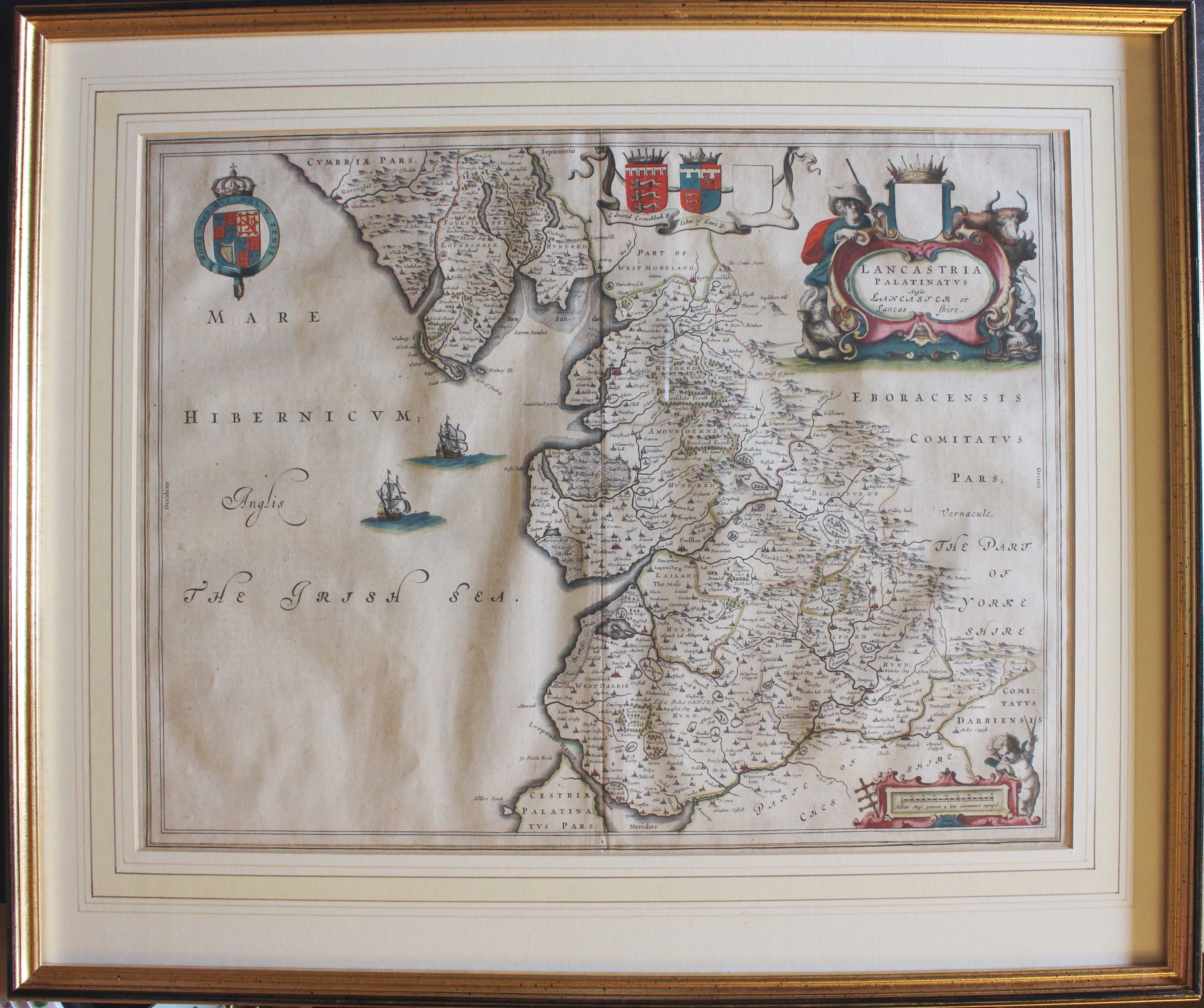
33009 Lancashire, Joan Blaeu, 1645. 490.00
LANCASTRIA PALATINATUS ANGLIA LANCASTER ET LANCASHIRE
A fine decorative engraved 17th century map of the county embellished with a title cartouche showing a farmer with his animals Scale cartouche with putti. Royal Arms and two other coats of arms. Two ships in the sea area. 20 x 15 inches. Early hand colouring. French text on verso. Fine condition. Presented in a line and wash mount and framed in a rubbed gold moulding. Double glazed to show the text on verso. First edition published in 1645 denoted by the Zzzzz that appears at the end of the text on verso.
This map is only available to customers who can collect from Christleton
Early 18th Century
-

Map of Lancashire by Gerard Valk & ieter Schenk c.1715
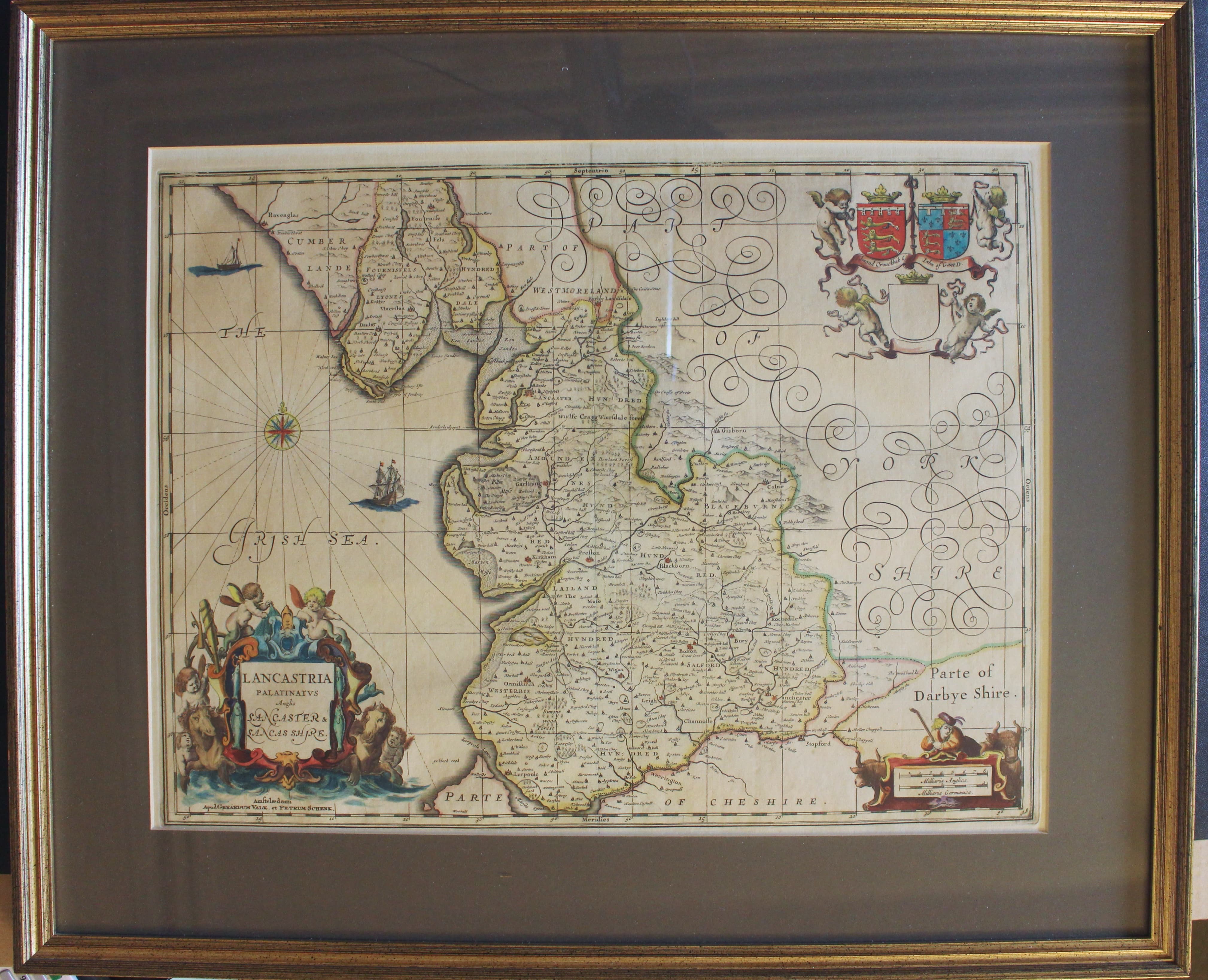
33011 Lancashire, Gerard Valk & Pieter Schenk, c.1715. Price: 350.00
LANCASTRIA PALATINUS Anglis LANCASTER & LANCASHIRE
The Gerard Valk and Pieter Schenk edition of Jansson's fine map of the county. Decorative title cartouche with two sea horses and putti. Scale cartouche and garland of two coats of arms and one blank shield supported by putti. 19 1/4 x 14 3/4 inches, 495 x 375 mm. Fine condition with attractive hand colouring. In a 2 1/2 inch dark green sunk mount and framed in a rubbed old gold moulding.
This map is only available to customers who can collect from Christleton

18th Century
-

Map of Lancashire by Robert Morden 1722
33099 Lancashire, Robert Morden, c.1753. Price: 85.00
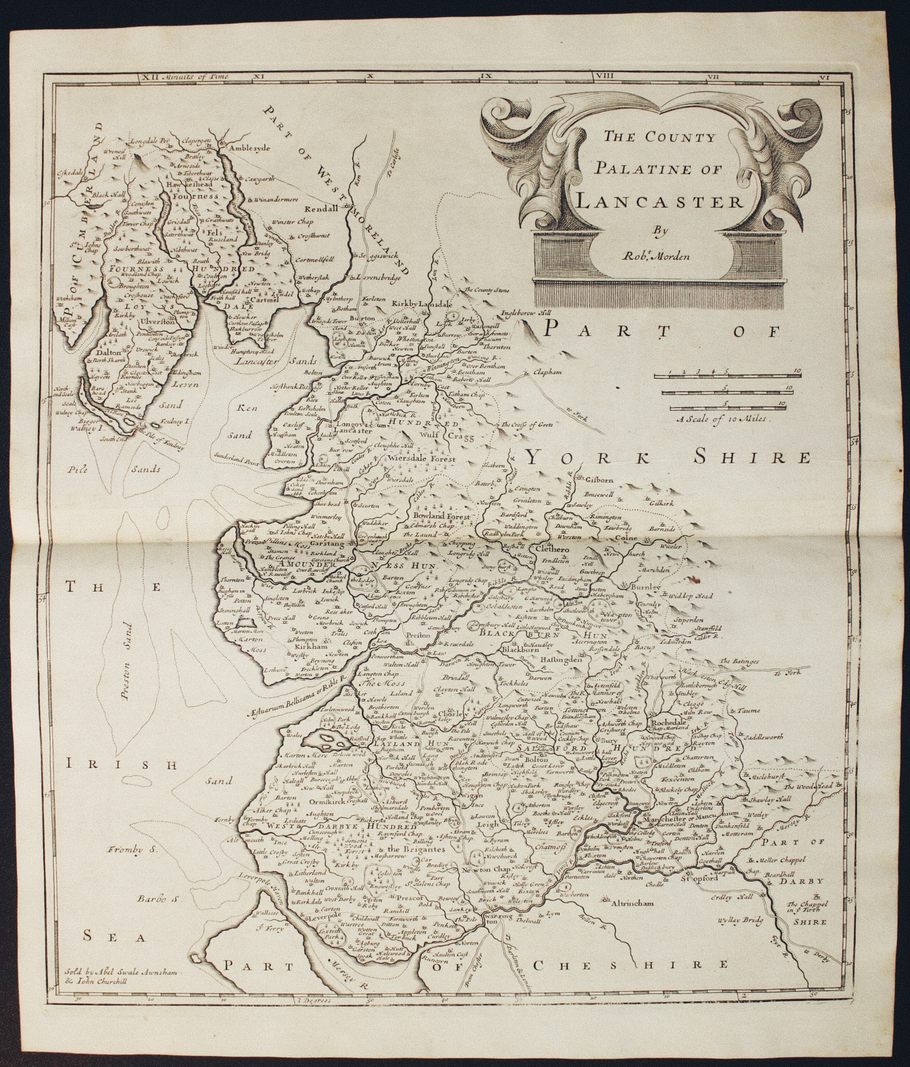
THE COUNTY PALATINE OF LANCASTER BY ROBT. MORDEN
A good engraved map of the county embellished with a decorative title cartouche. Three scales. Publisher's imprint. 14 x 16 1/4 inches, 360 x 410 mm. Uncoloured. Original centre fold. Good sized blank margins. Light crease across the top left hand side of the map otherwise good clean undamaged condition.
From: Camden's Britannia

18th Century
-
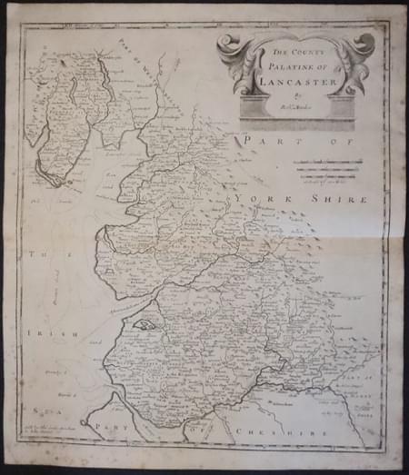
Map of Lancashire by Robert Morden 1722
33103 Lancashire, Robert Morden, 1722. Price: 70.00
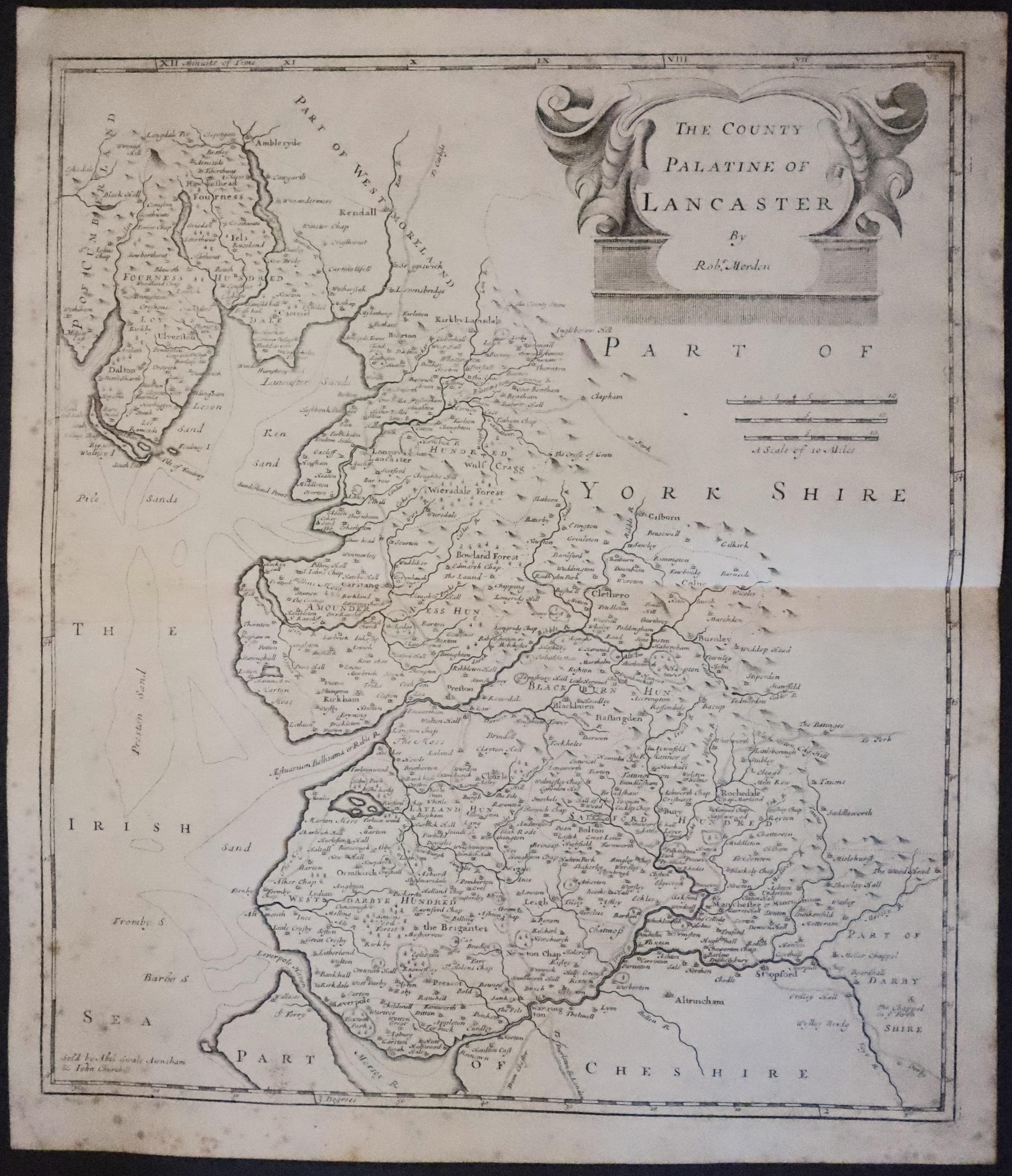
THE COUNTY PALATINE OF LANCASTER BY ROBT. MORDEN
A good engraved map of the county embellished with a decorative title cartouche. Three scales. Publisher's imprint. 14 x 16 1/4 inches, 360 x 410 mm. Uncoloured. Original centre fold. Full original margins. Watermark of a horse within a circle. Two small worm holes repaired in lower right hand corner and upper right hand corner. Scattering of foxing spots mainly around the outer edges.
From Camden's Britannia.
SPECIAL PRICE

17th Century
-

Map of Lancashire by Saxton / Hole 1637
33086 Lancashire, Christopher Saxton & William Hole, 1637. Price: 200.00
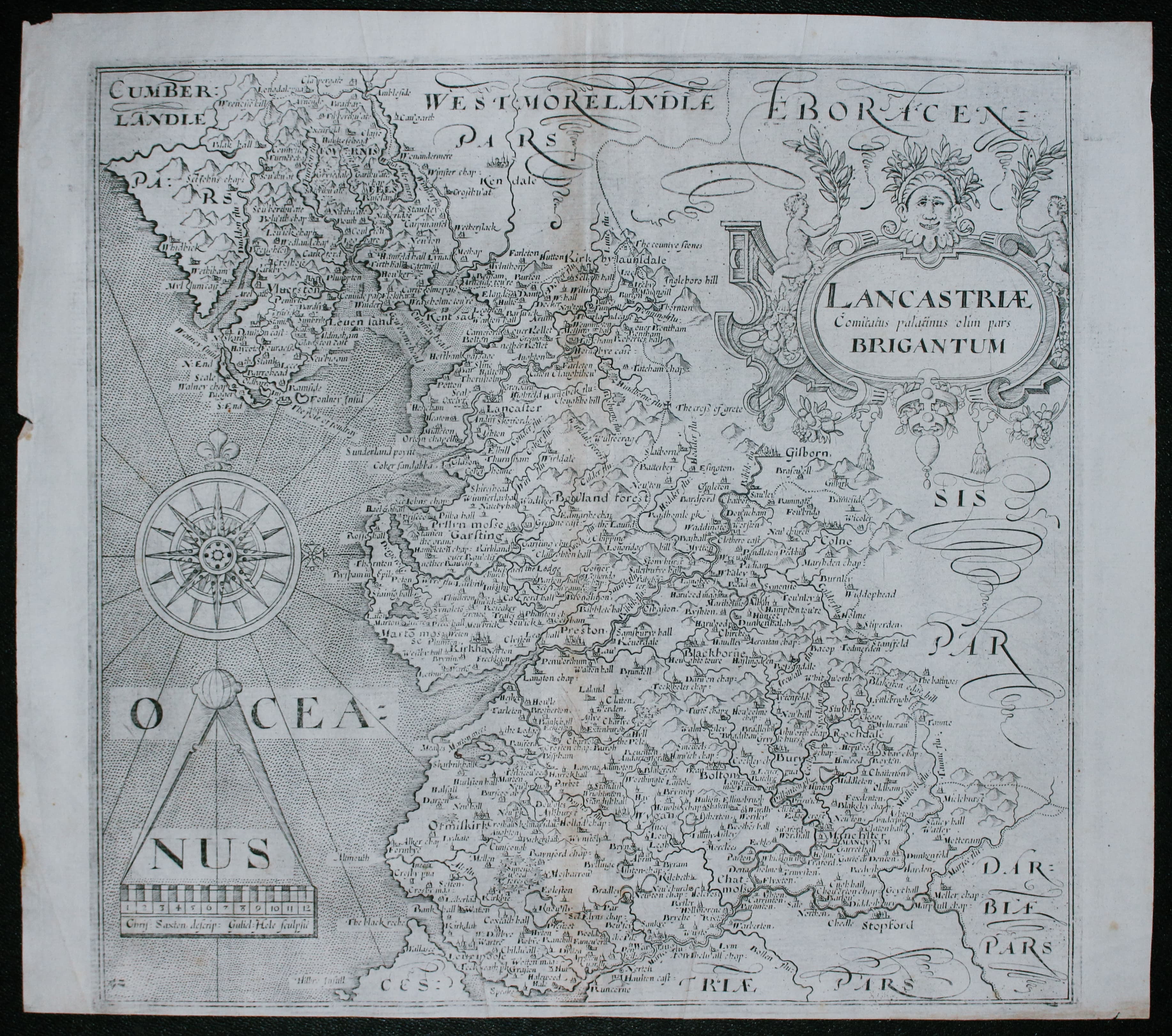
LANCASTRIAE COMITATUS PALATINUS OLIM PARS BRIGANTUM
An early engraved map of the county embellished with a decorative title cartouche, large compass rose and scale with pair of dividers. 12 x 11 inches. Uncoloured. Original centre fold. This is state III of the map denoted by the number 52 in the bottom left hand corner. Two small nicks on the edges. Small bottom blank margin. Otherwise a nice specimen.
From Camden's Britannia.

19th Century
-
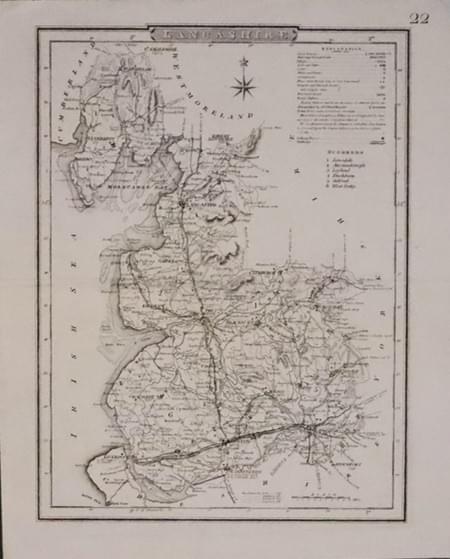
Map of Lancashire by Cole & Roper c.1840
33115 Lancashire, Cole & Roper, c.1840. Price: 12.00
LANCASHIRE
A good detailed engraved map of the county divided into hundreds. The later version of Cole & Roper’s map published in 1810. 7 x 9 1/4 inches. Uncoloured. Original centre fold. Small amount of writing in ink on verso. TYhis does not show through to the front. Good condition.

19th Century Town Plan
-

Plan of Liverpool & Birkenhead, J. Bartholomew c.1880
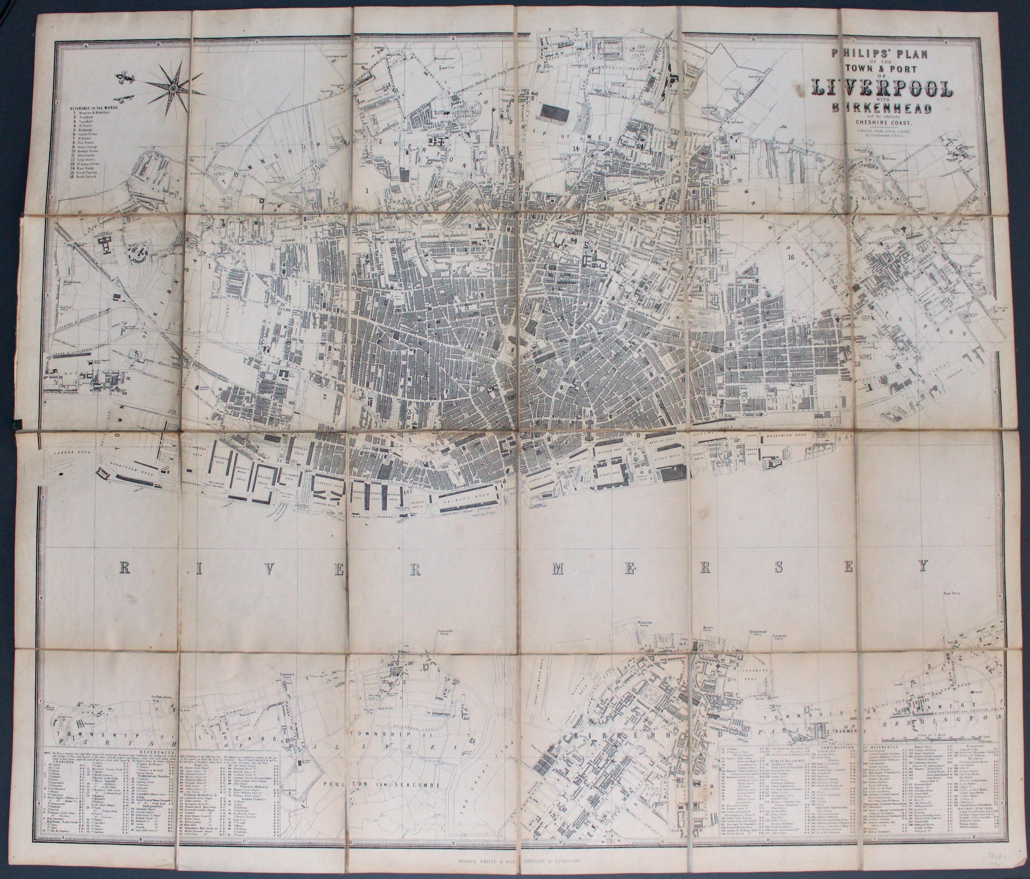
33211 Liverpool and Birkenhead, George Philip & Son, c.1890. Price: 86.00
PHILLIP’S PLAN OF THE TOWN & PORT OF LIVERPOOL WITH BIRKENHEAD AND THE ADJOINING CHESHIRE COAST. COMPILED FROM ACTUAL SURVEY BY J. BARTHOLOMEW F.R.G.S.
A most interesting large detailed plan of Liverpool and Birkenhead. Extensive List of References in two panels listing 193 places of interest plus a list of Railway Stations. The map is divided into 24 sections and mounted on linen and folding. The front green titled board is detached. The map measures 28 1/4 x 24 inches. Other than the cover fault good undamaged condition.

Early 18th Century
-
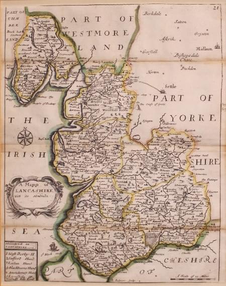
Lancashire by Richard Blome 1715
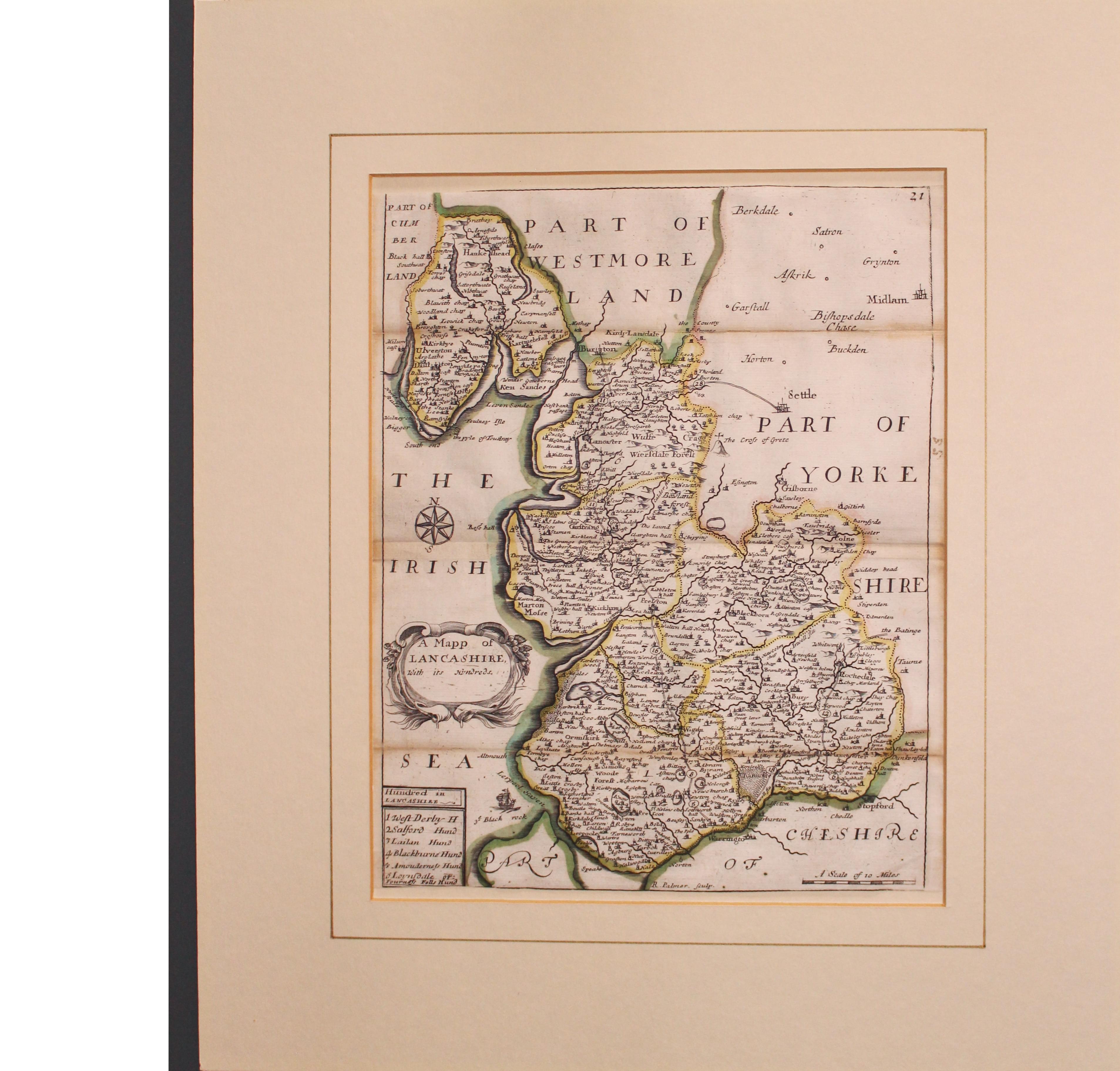
33221 Lancashire, Richard Blome, 1715. Price: 65.00
A MAPP OF LANCASHIRE WITH ITS HUNDREDS
The smaller map of the county engraved by R. Palmer. The title appears withn a decorative uncoloured cartouche from which the dedication has been erased. Panel with list of hundreds. Plate number 21 in the top right hand corner. 7 1/2 x 9 1/2 inches/ Original outline hand colouring. The map cas come from a copy of the atlas that has been bound in a narrow format which I have come across before. So in addition to the original centre fold it has two other original fold creases. Sight trimming to the top edge with no blank margin. Otherwise a nice clean specimen. Presented in an ivory tint mount with a single gold line.
From: England Exactly Described or a Guide to Travellers in a Compleat Sett of Maps of All the Counties of England
19th Century - Decorative
-

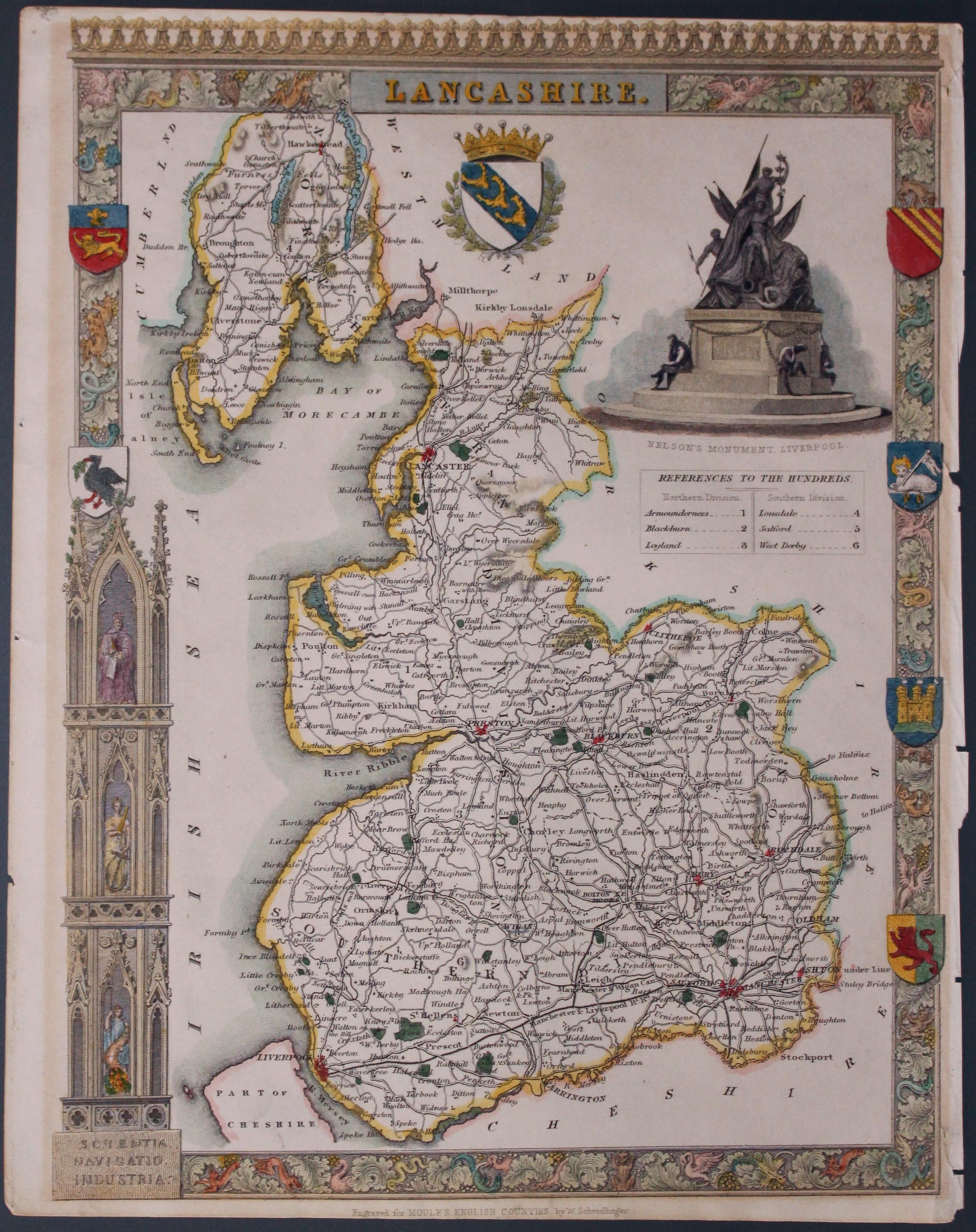
Lancashire by Thomas Moule c.1837
33224 Lancashire, Thomas Moule, c.1837. Price: 50.00
LANCASHIRE
A decorative Victorian map of the county set within a patterned border with gothic architecture, vignette view of Nelson's Monument, Liverpool and seven coats of arms. 8 x 10 inches, 200 x 260 mm. Nicely hand coloured. Small right hand blank margin with parts of binding holes showing. All this could be hidden by a sunk mount. Otherwise a good specimen of this map on stout paper.
From: Moule’s English Counties

Liverpool - 19th Century Town Plan
-
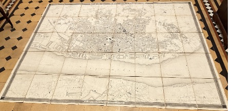
Plan of Liverpool, James Newlands c.1860
-
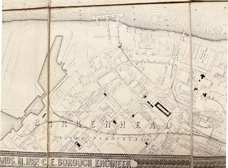
Plan of Liverpool showing Birkenhead James Newlands c.1860
-
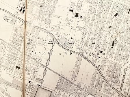
Plan of Liverpool showing Scotland Road area James Newlands c.1860
-

Plan of Liverpool showing city centre area James Newlands c.1860
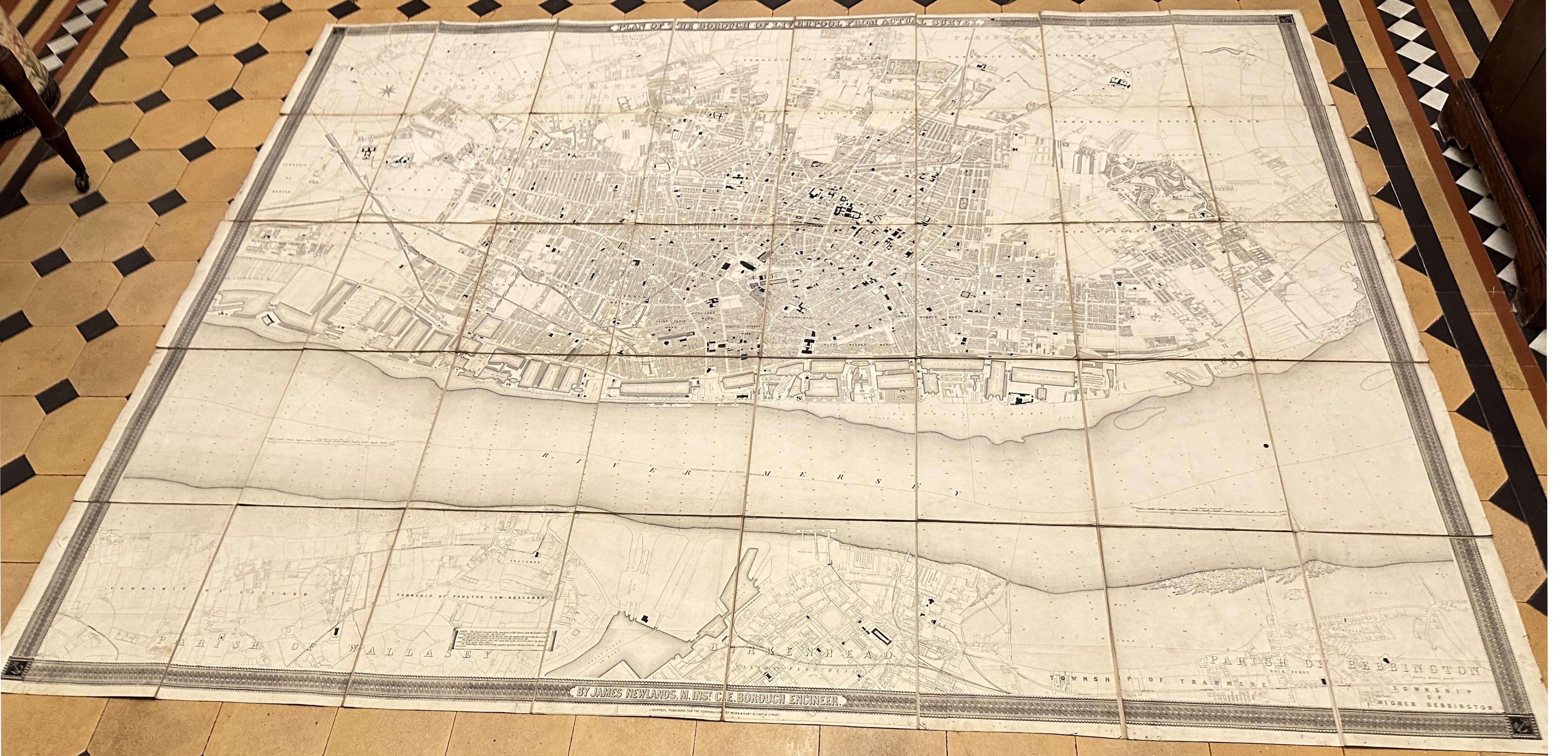
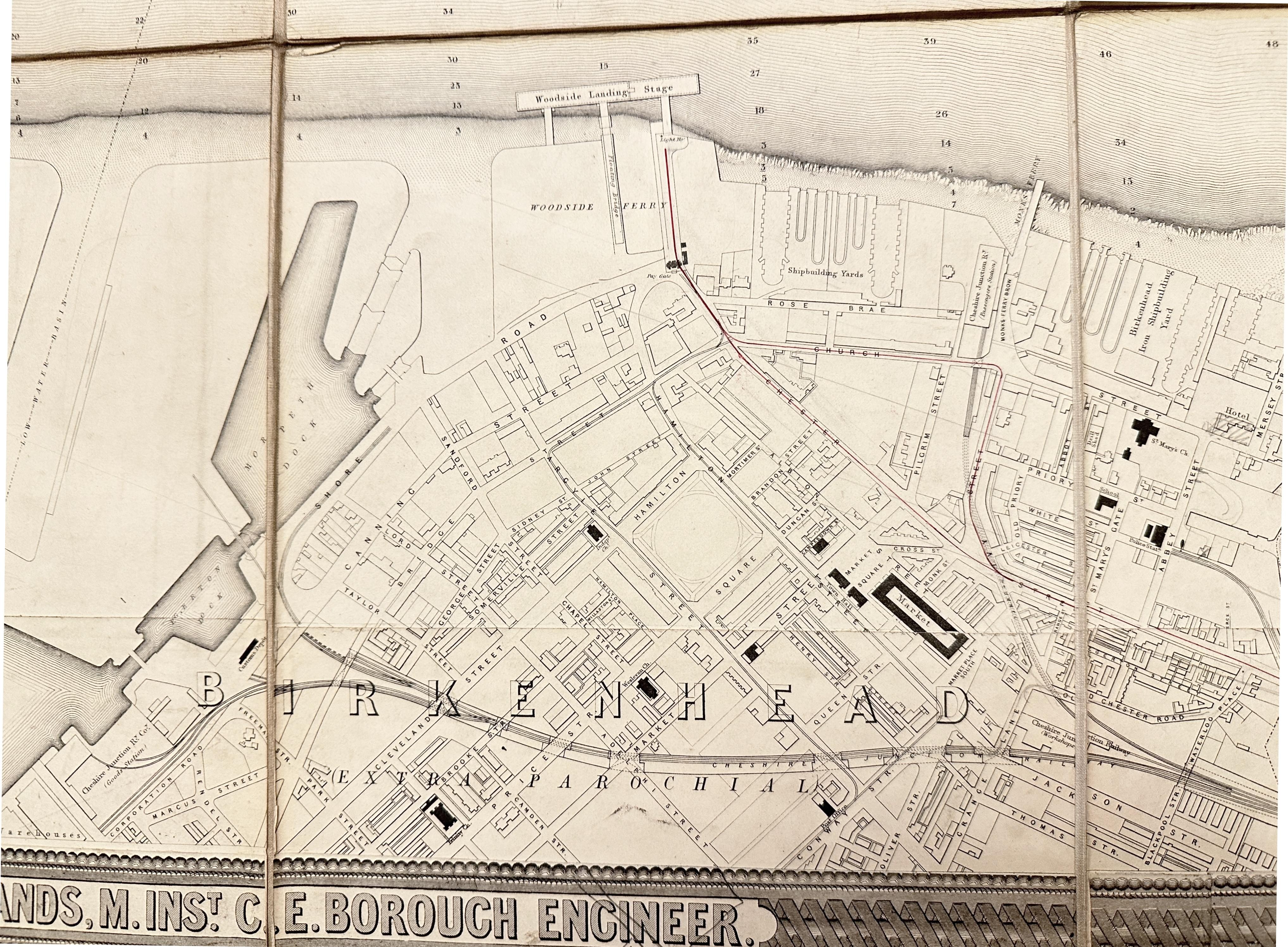
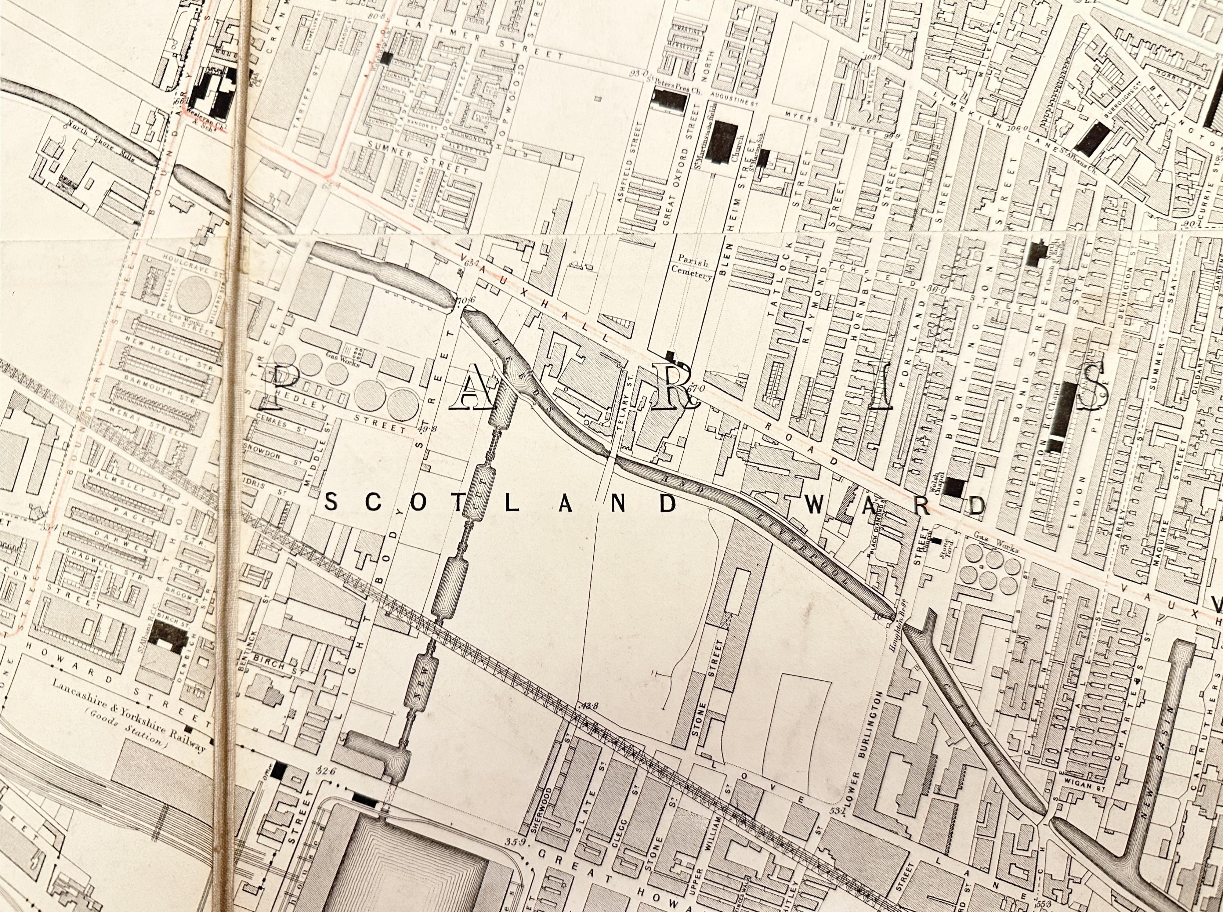
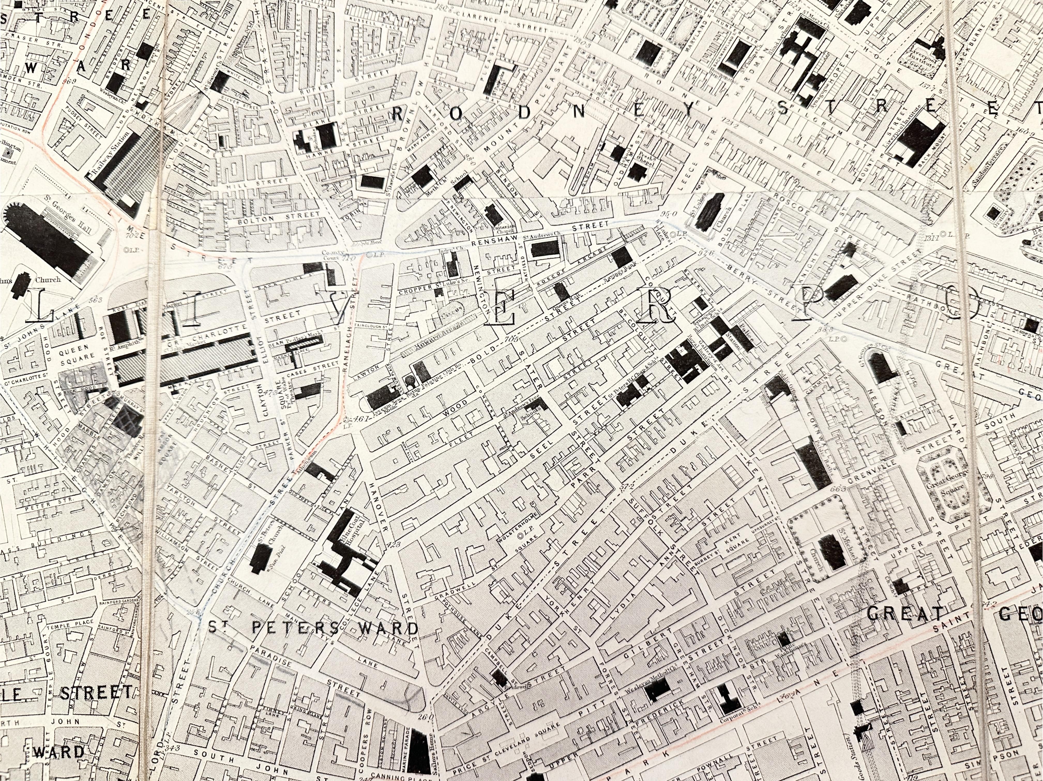
33248 Liverpool, James Newlands, c.1860. Price: 360.00
PLAN OF THE BOROUGH OF LIVERPOOL FROM ACTUAL SURVEY. BY JAMES NEWLANDS, M.INST. C.E. BOROUGH ENGINEER
A uncommon large folding town plan of Liverpool with part of the Wirral coast showing Birkenhead and Bebington. Presented in an engraved decorative border with anchors at each corner. The map measures some 77 x 59 inches and is mounted with 40 sections on heavy canvas. The front and back when folded are titled LIVERPOOL. The out covers show some wear but generally the map is in nice clean undamaged condition.

19th Century - Decorative
-
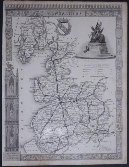
Lancashire, Moule c.1850
33262 Lancashire, Thomas Moule c.1850. Price: 40.00
LANCASHIRE
A decorative Victorian map of the county set within a patterned border with gothic architecture, vignette view of Nelson's Monument, Liverpool and seven coats of arms. 8 x 10 inches, 200 x 260 mm. Uncoloured. Nice weight of paper. Small patch of masking tape on verso which appears to be repairing a very small tear which can hardly be seen on the front. Little browning on the top edge otherwise good condition.
Possible from Barclay’s Dictionary but could well be a few years older.

Early 17th Century
-
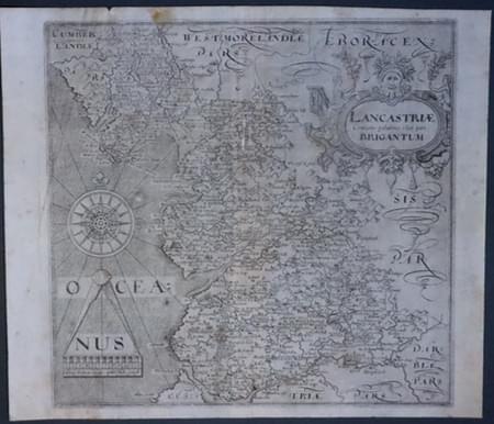
Lancashire, Saxont/Hole 1610
33332 Lancashire, Christopher Saxton / William Hole, 1610. Price: 80.00
LANCASTRIAE COMITATUS PALATINUS OLIM PARS BRIGANTUM
An early engraved map of the county embellished with a decorative title cartouche, large compass rose and scale with pair of dividers. 12 x 11 inches. Uncoloured. Original centre fold. This is state II of the map denoted no Latin text on verso and no number 52 in the bottom left hand corner in the bottom left hand corner. Two small areas where the surface of the map is missing. Small circular area at two o’clock to the compass rose. The other is a vertical area near to the top third of the centre fold. Some light creasing. SPECIAL PRICE
From Camden's Britannia.

18th Century - First Edition
-
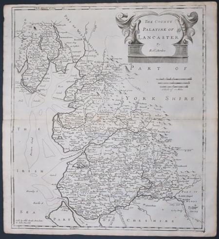
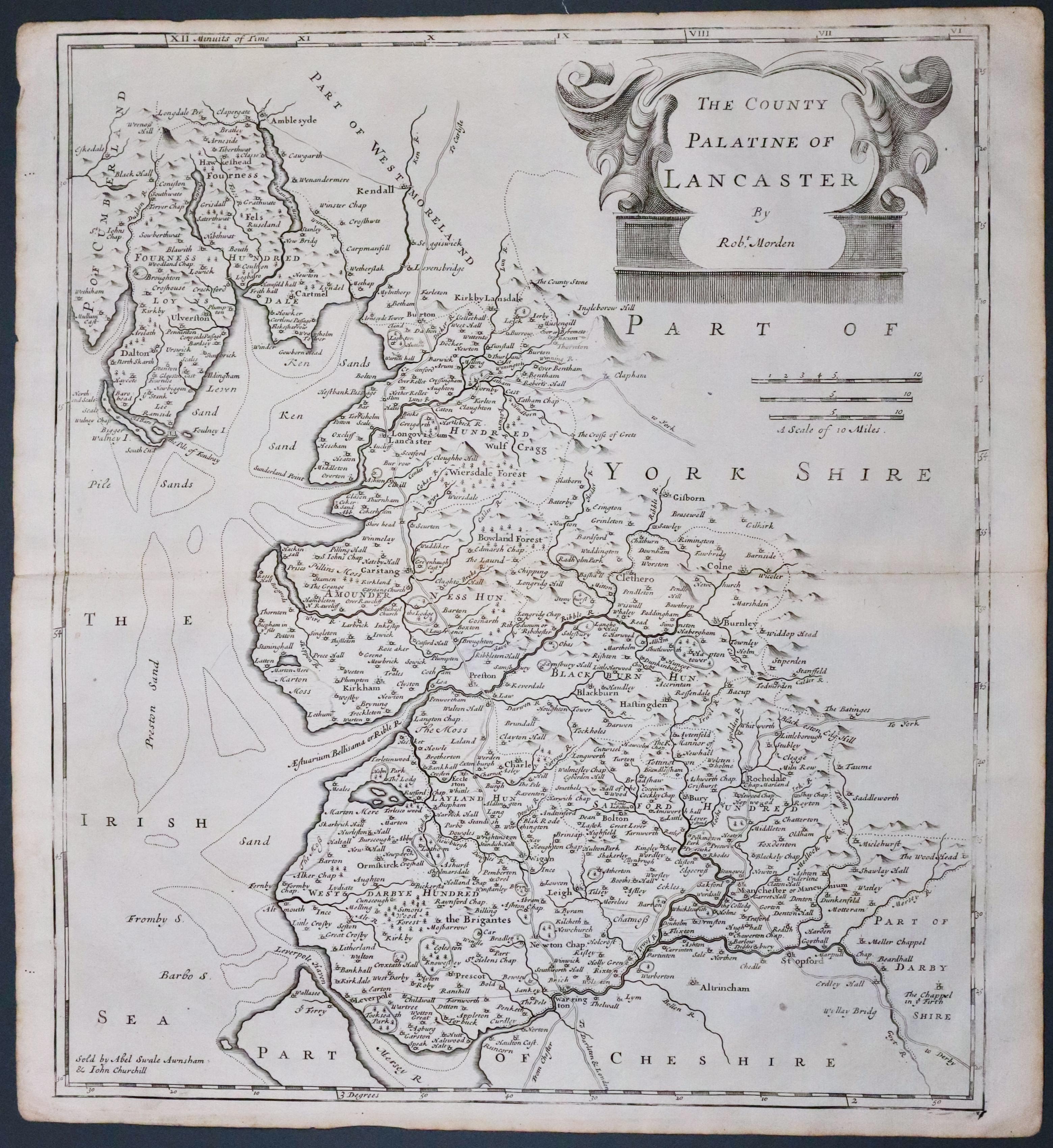
Lancashire, Robert Morden 1695
33517 Lancashire Robert Morden 1695. Price: 120.00
THE COUNTY PALATINE OF LANCASTER BY ROBT. MORDEN
The FIRST EDITION of this good engraved map late 17th century map of the county embellished with a decorative title cartouche. Three scales. Imprint of the publishers Abel Swale with Awnsham and John Churchill. 14 x 16 1/4 inches, 360 x 410 mm. Uncoloured. Good condition. Original centre fold. This map has been taken straight from the atlas and therefore not previously offered for sale as a single map.
From Camden's Britannia
