RICHARD NICHOLSON of CHESTER
A WORLD OF ANTIQUE MAPS AND PRINTS
The Cartographers
WILLIAM HOLE and WILLIAM KIP
1607, 1610 & 1637
County maps of England and Wales in Camden's Britannia
Saxon Heptarchy
Bedfordshire
Berkshire
Buckinghamshire
Cambridgeshire
Cheshire
Cornwall
Cumberland
Derbyshire
Devonshire
Dorsetshire
Durham
Essex
Gloucestershire
Hampshire
Herefordshire
Hertfordshire
Huntingdonshire
Kent
Lancashire
Leicestershire
Lincolnshire
Norfolk
Northamptonshire
Northumberland
Nottinghamshire
Oxfordshire
Rutlandshire
Shropshire
Somersetshire
Staffordshire
Suffolk
Surrey
Sussex
Westmorland
Wiltshire
Worcestershire
Warwickshire
Yorkshire
Yorkshire West Riding
Yorkshire East Riding
Yorkshire North Riding
Flintshire
Denbighshire
Caernarvonshire
Anglesey
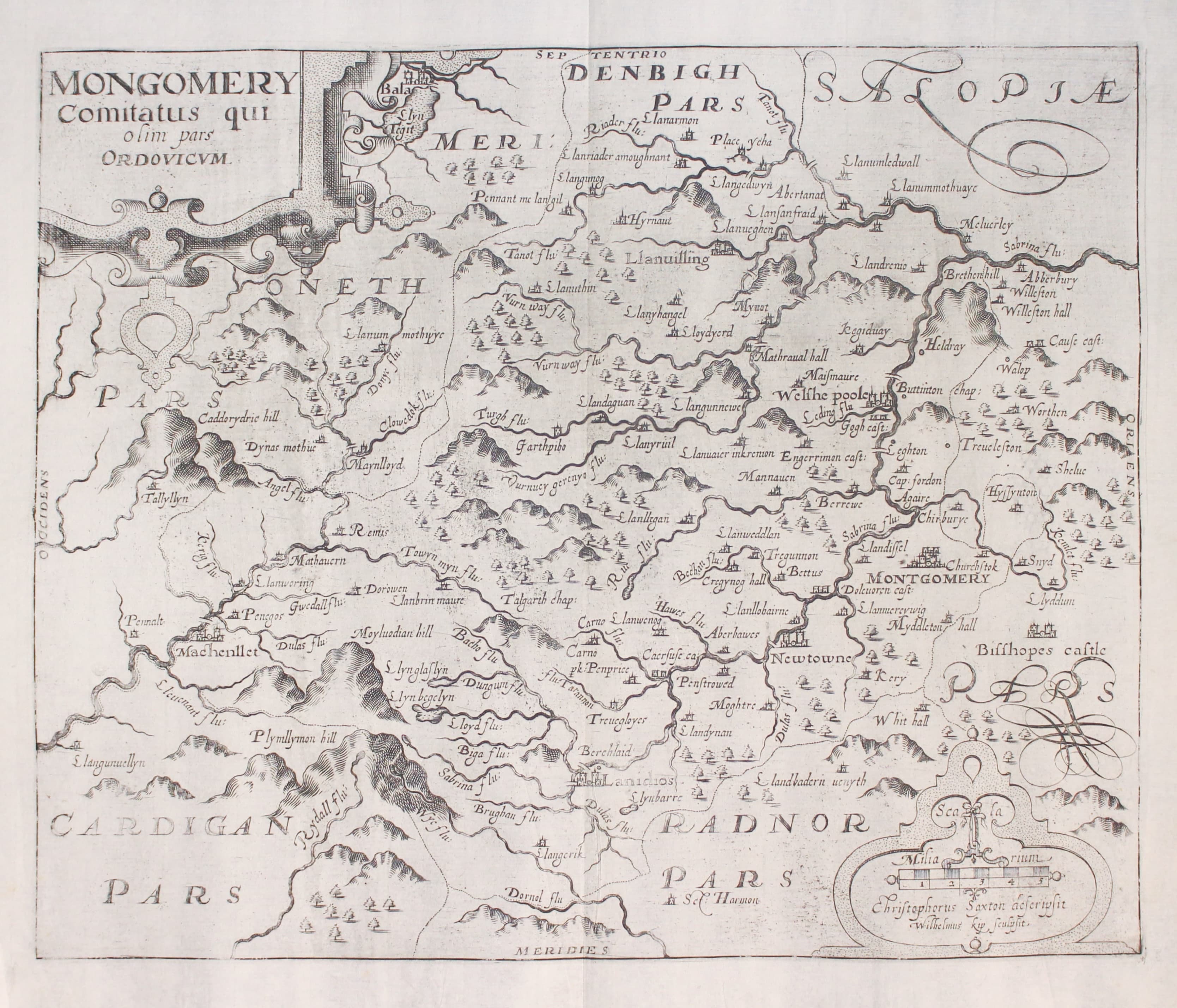
Montgomeryshire
Merionethshire
Cardiganshire
Pembrokeshire
Carmarthenshire
Scotland
Ireland
"Britannia" is an important work on the topography and history of Great Britain, written by William Camden and published in the late 16th and early 17th century. The first edition was published in 1586, with later editions and translations published in the following decades. It was one of the first works of its kind, and was considered a valuable reference work for many years. Camden travelled extensively through England, Wales and Scotland, gathering information and making notes, which he used to write Britannia. It is considered a major primary source of information on the history and geography of Great Britain during the Elizabethan era.
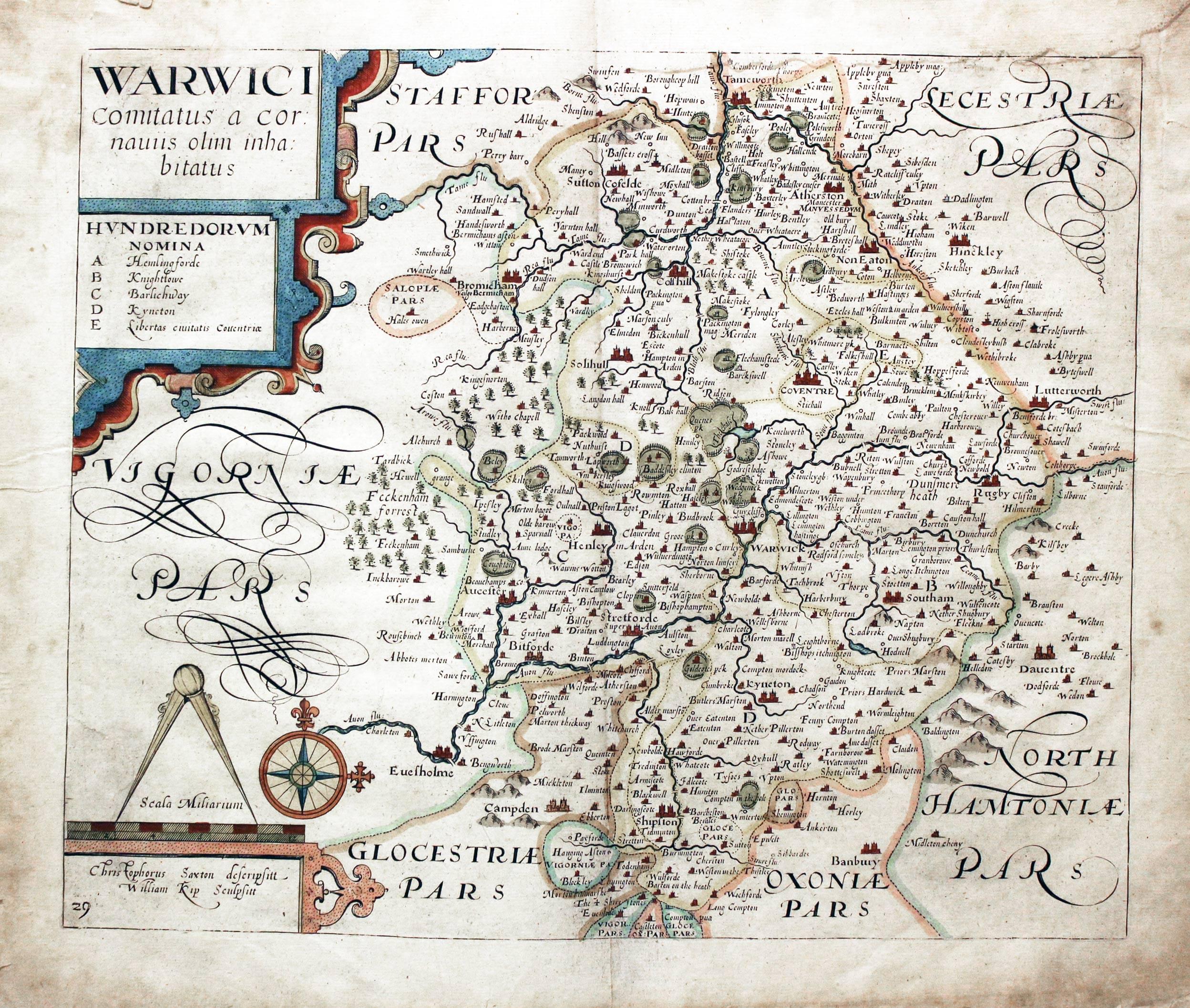
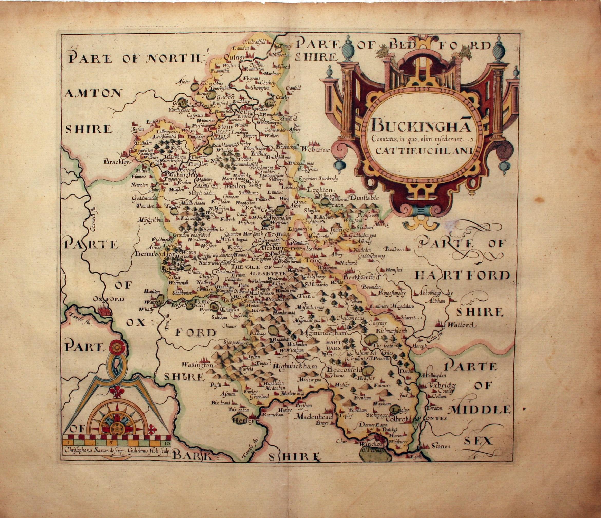
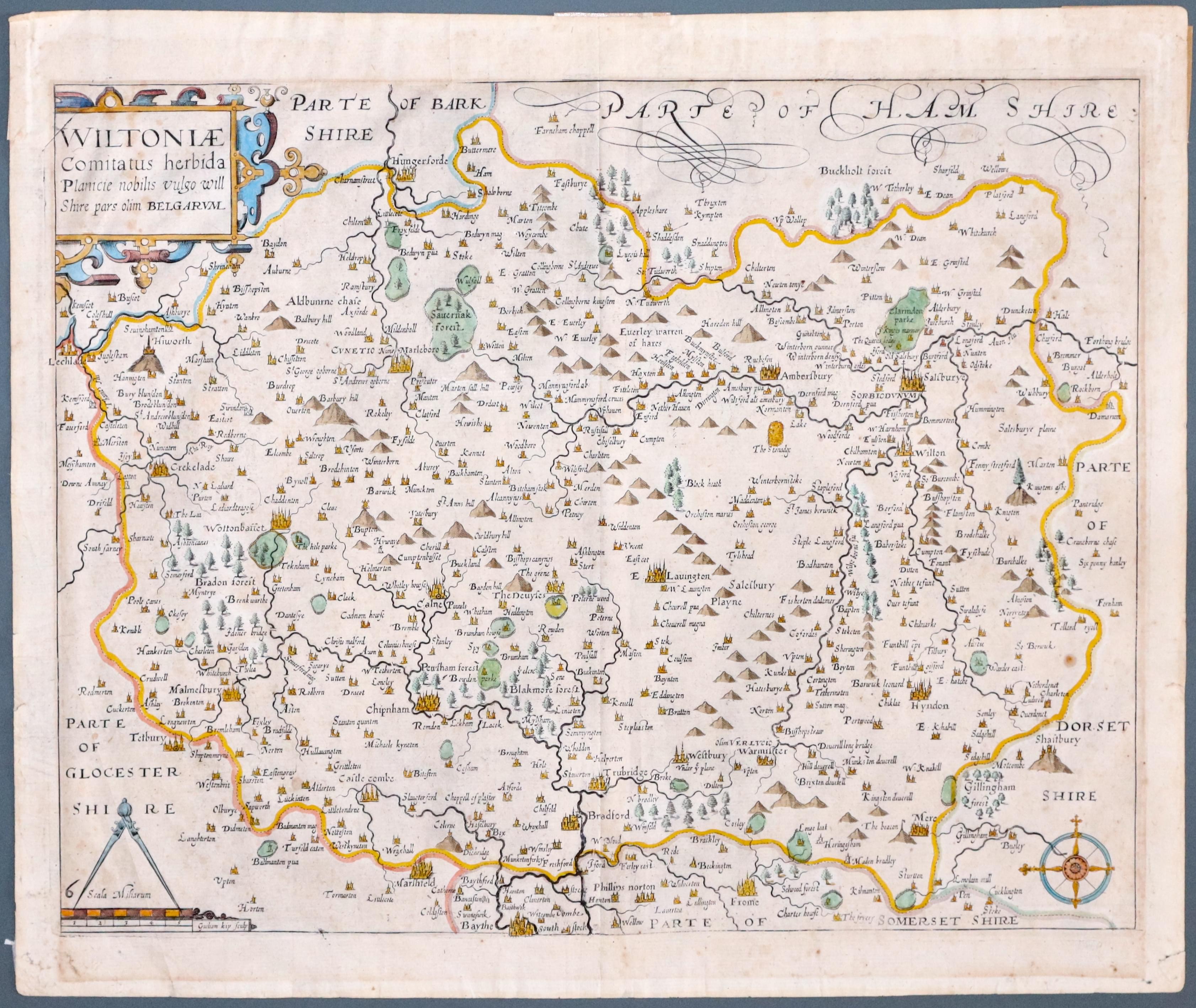
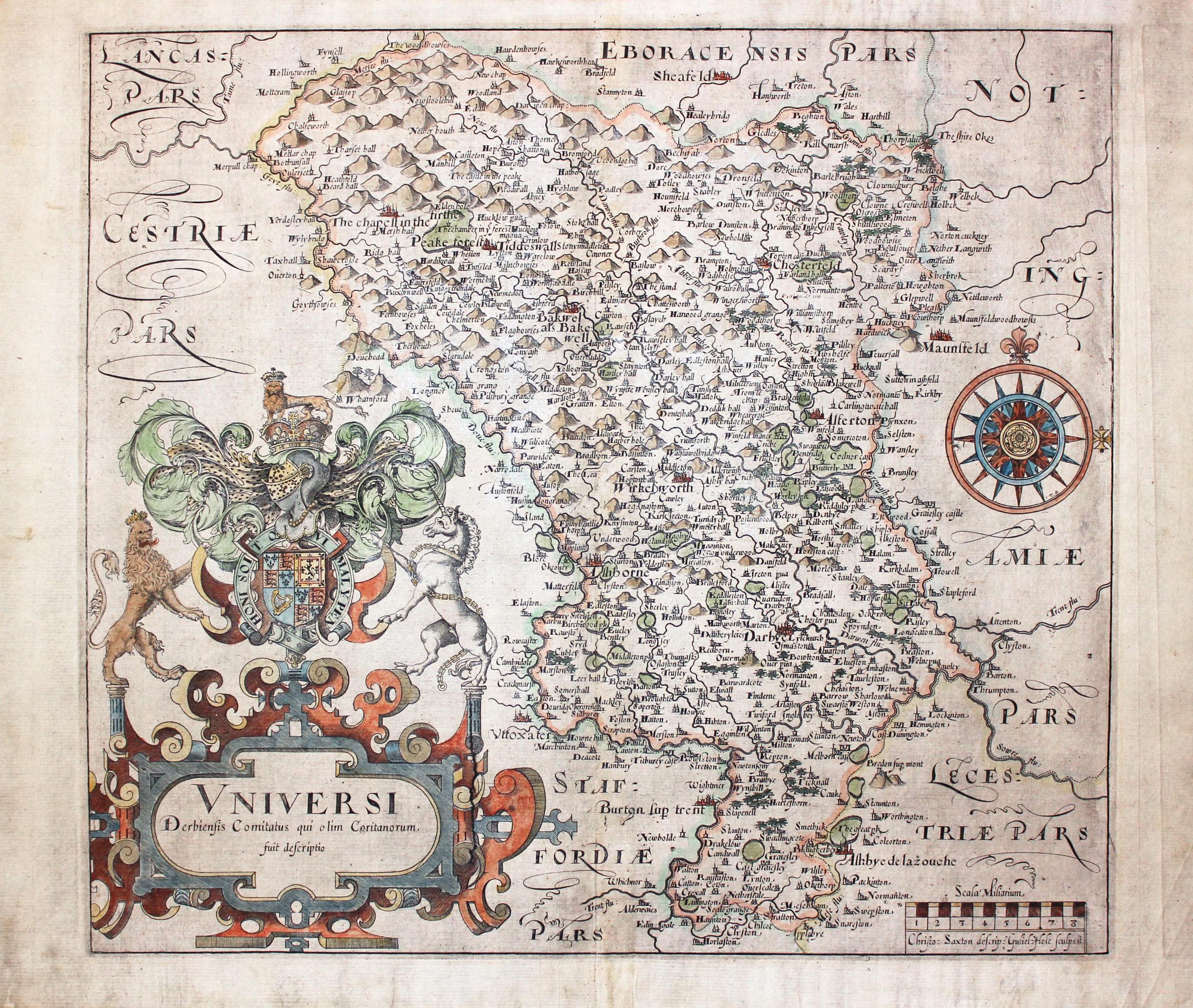
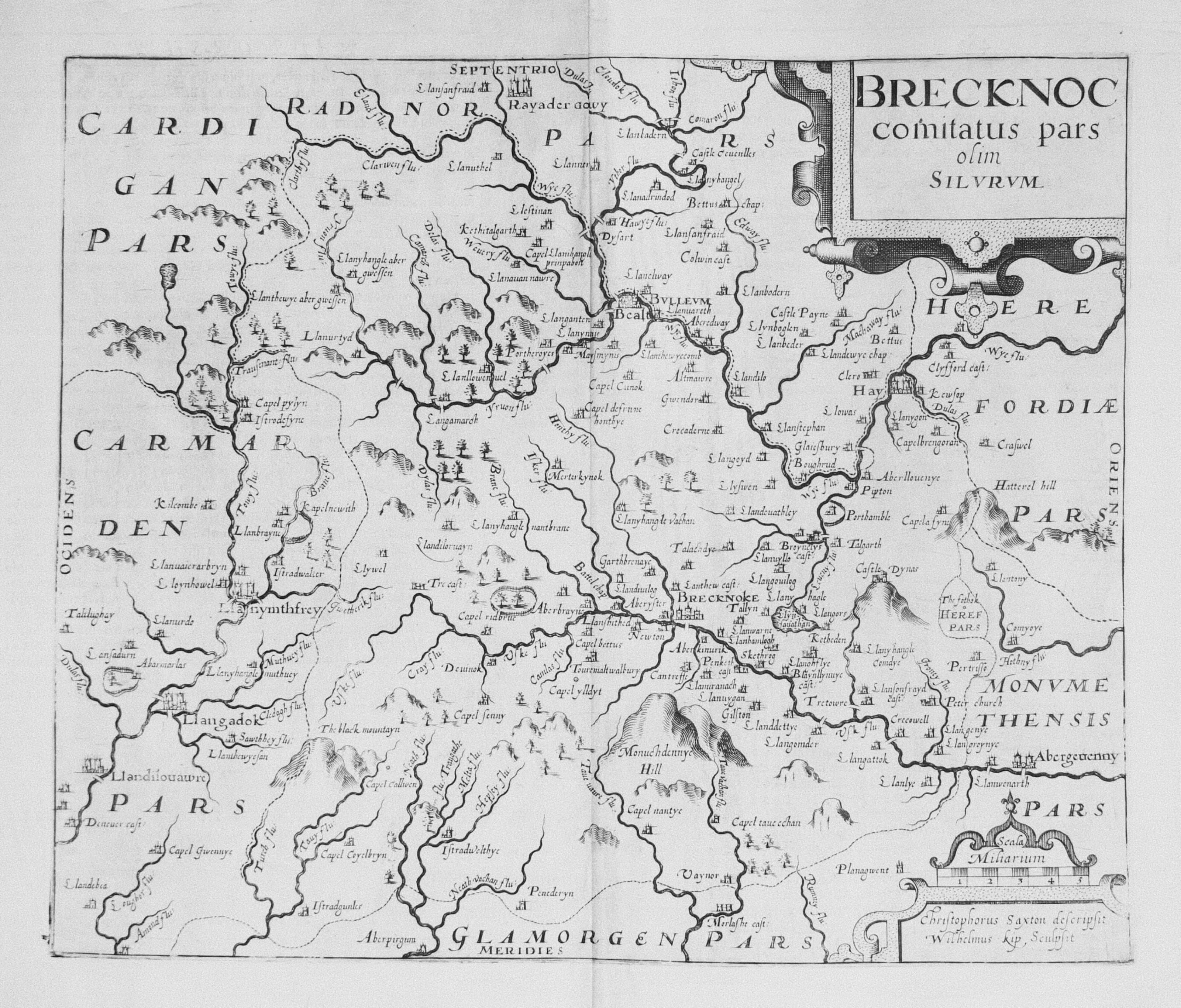
There are just three editions of Camden's Britannia illustrated by a series of county maps engraved by William Hole and William Kip. The three editions are 1607, 1610 and 1637. The name of William Hole or William Kip appears on each map and with a few exceptions the name of Christopher Saxton whose survey in the 1570's was used to produce these maps. Christopher Saxton did not produce a single map of every county but combines two or more counties together on one sheet in some cases for is earlier atlas. These maps from Camden's Britannia are therefore the first good sized map of some counties to be published. The only other county maps that appear around this time are the miniature maps by Pieter van den Keere.
Camden's Britannia continued for over 200 years, the text being revised and a contemporary cartographer of the period being asked to produce a new set of couny maps.
-
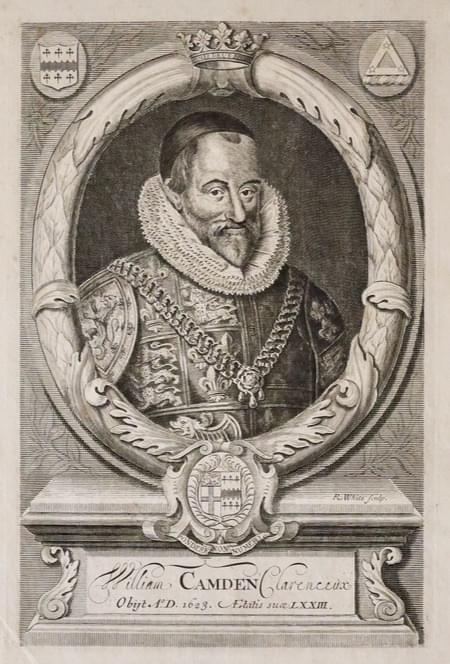
Engraving of William Camden 17th century
HOW TO DATE THEM
| Publication Date | Description |
|---|---|
| 1607 | An easy edition to date. The maps have Latin text on the back |
| 1610 | Plain backs but see the 1637 exceptions. No plate number in the left hand corner but note the counties where the numeral was not even added in 1637. |
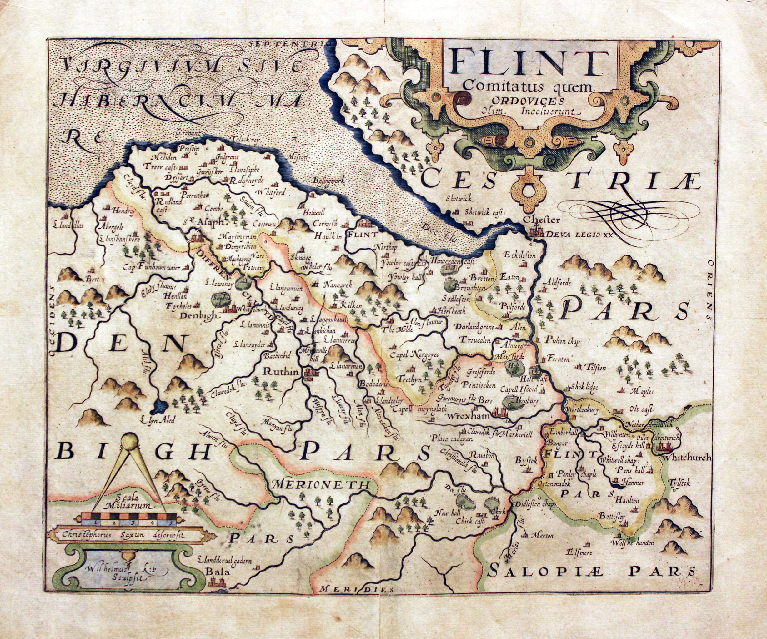
| 1637 | Plain backs. Numeral engraved in the left hand corner of most of the maps. Numerals were not added to the following maps Buckinghamshire Cheshire Huntingdonshire Shropshire Yorkshire East Riding Yorkshire North Riding Breconshire (New Map engraved by Robert Vaughan) Denbighshire Flintshire Merionethshire Pembrokeshire Radnorshire Scotland Ireland |
ENGLAND
-
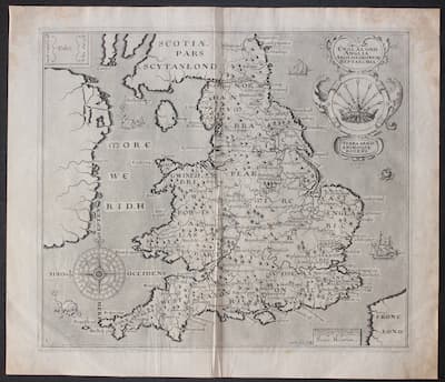
Map of the Saxon Heptarchy by William Hole from Camden's Britannia 1637
-

Map of West Riding of Yorkshire by William Hole after Christopher Saxton, 1637
-

Map of Warwickshire by William Kip after Christopher Saxton, 1637
-

Map of Buckinghamshire by William Hole after Christopher Saxton 1610
-

Map of Wiltshire by William Kip 1637
-

Derbyshire by William Hole after Christopher Saxton 1610
-
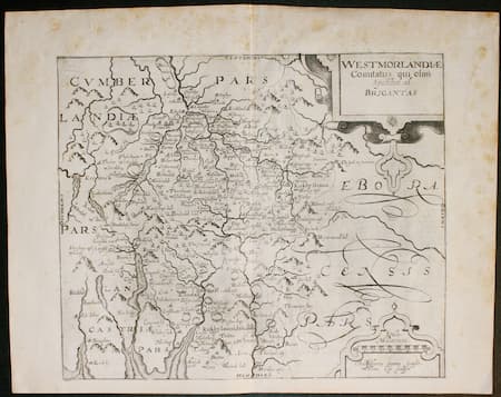
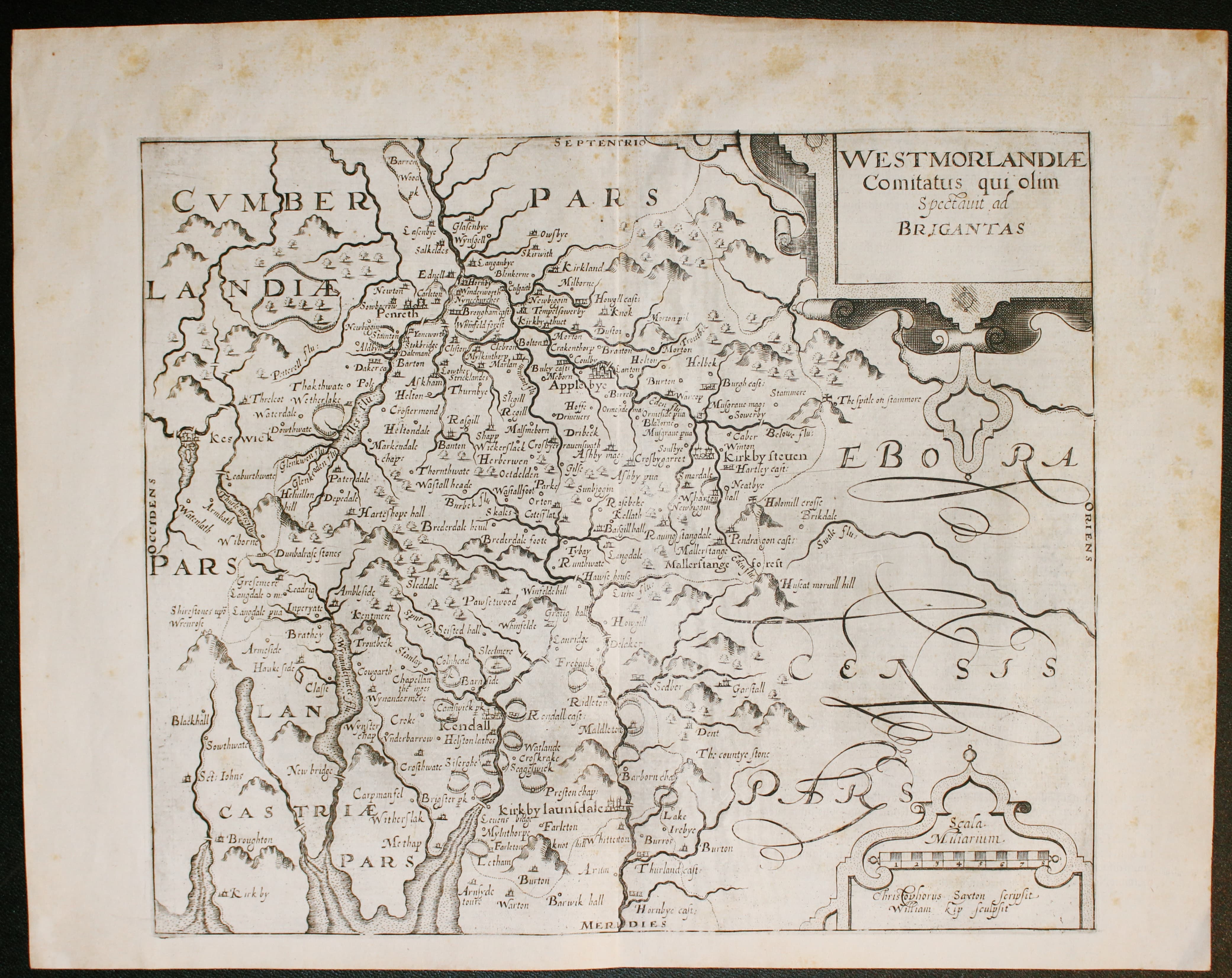
Map of Westmorland by William Kip 1607
WALES
-

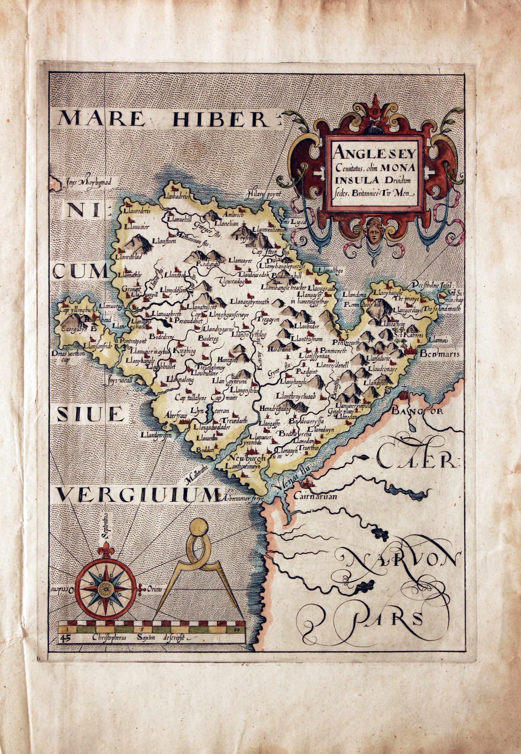
Map of Anglesey by William Hole
-
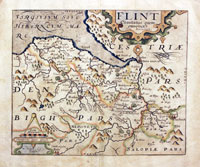
Map of Anglesey probably by William Hole after Christopher Saxton, 1637
-

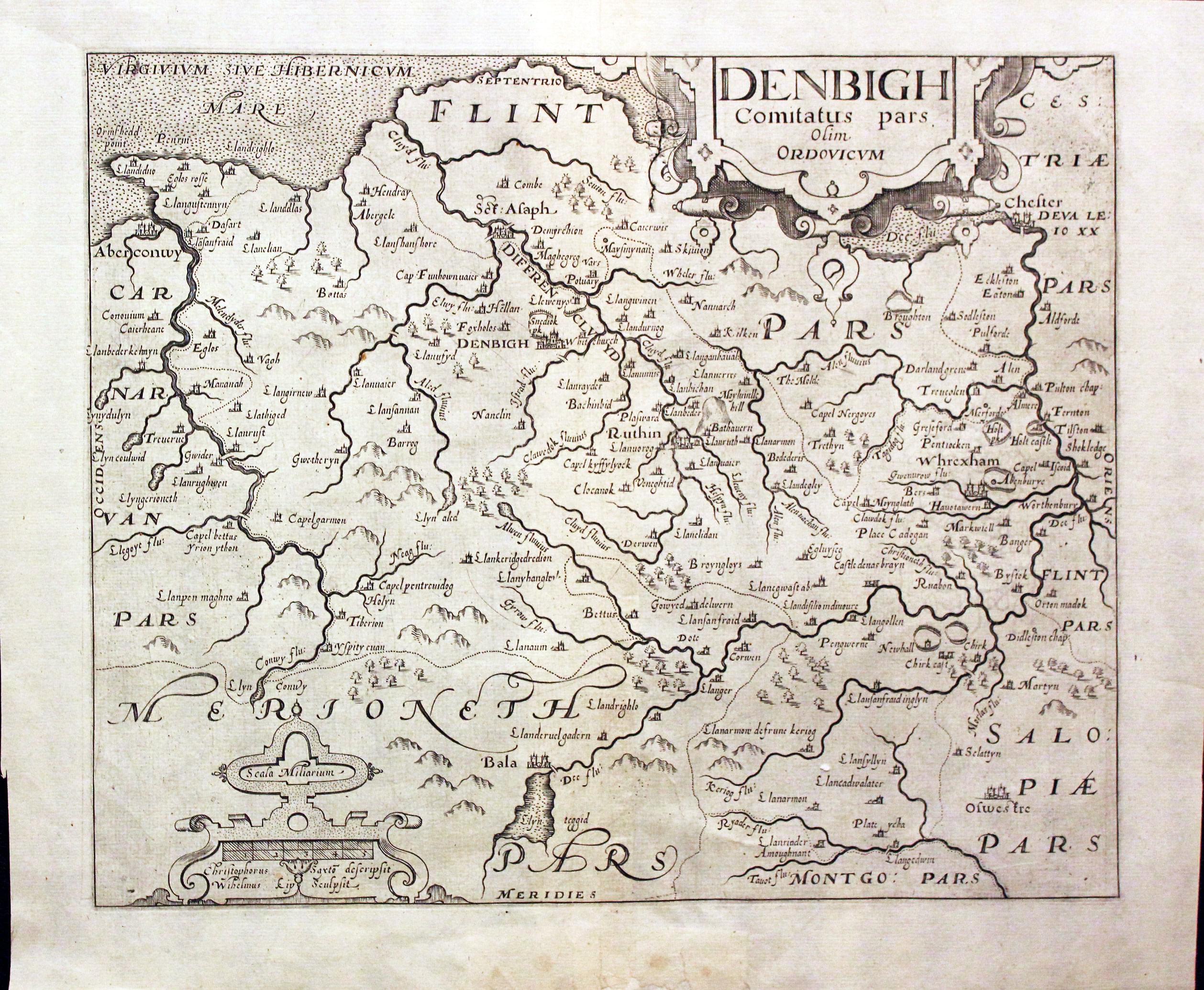
Map of Denbighshire engraved by William Kip after Christopher Saxton
-

Montgomeryshire by William Kip after Christopher Saxton 1610
-
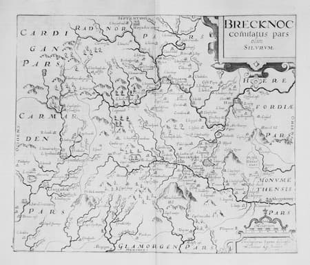
Breconshire by William Kip after Christopher Saxton 1607
Just my personal opinion
It is really quite remarkable that you can collect these very early maps at a reasonable price. All because they appeared in a history book that sold a lot of copies. Camden's Britannia. There were three editons of the work with maps engraved mainly by William Hole and William Kip. When someone telephones me and says they have a Saxton map it is more often than not that they have a map from this series. In a way they are right as the maps were based on the earlier Elizabethan survey by Christopher Saxton and rightly bear his name. These maps should be treaured as they are of an England that is so far removed from the England we live in now. Christopher Saxton in his atlas published in 1579 grouped some counties together on a folio sized map. The maps in Camden's Britannia published in 1607, 1610 and 1637 each show an individual county so in effect for some counties they are going to be the earliest in your collection.


