RICHARD NICHOLSON of CHESTER
A WORLD OF ANTIQUE MAPS AND PRINTS

The Cartographer
EDWARD MOGG
Produced a series of detailed road maps but only of Southern England
As well as many maps of London and the surrounding area
Addresses:
It is such a shame that Edward Mogg did not extend his series of beautifully engraved roads maps to cover other areas of England and Wales other than southern England. These appeared in 'A Survey of the High Roads of England and Wales" in 1817. I am sure they would have been greatly desired by the early 19th century traveller to the Midlands and North of England. So we must be just content with the areas of southern England roads he did map and also his amazing detailed plans of London.

The Routes
It is a shame that Mogg only produced a series of these detailed maps for the southern part of England. I am sure that such maps of other parts of England and Wales would be most welcome to today's collectors
-

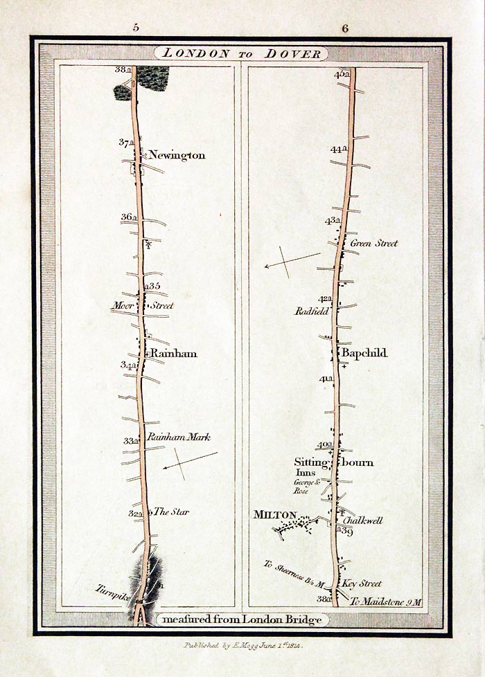
Plates 5 & 6 London to Dover road map by Edward Mogg
-

Plates 168 & 169 London to Exeter road map by Edward Mogg 1800
-
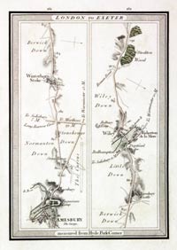
Plates 149 & 150 London to Exeter road map by Edward Mogg 1800
-

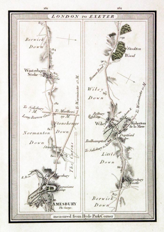
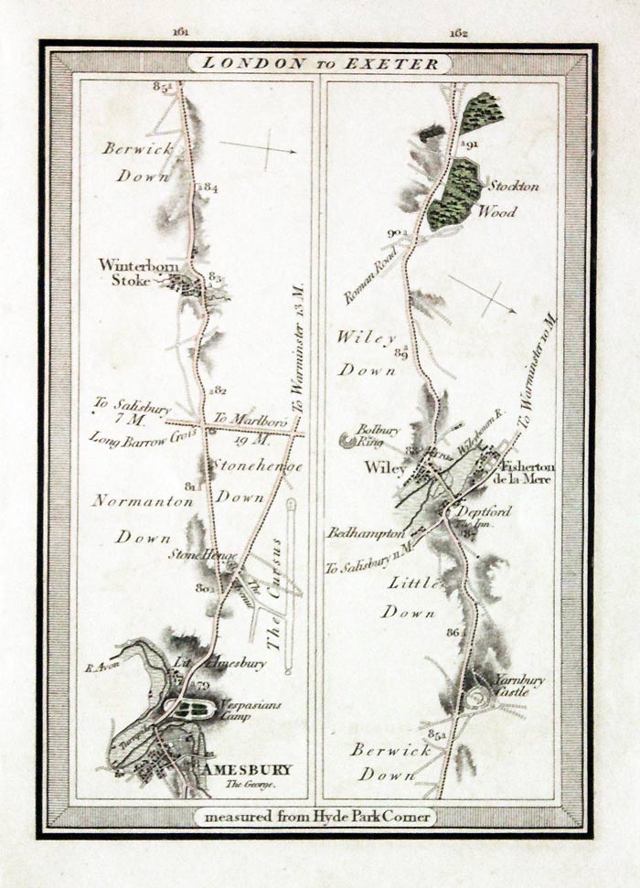
Plates 161 & 162 London to Exeter road map by Edward Mogg 1800
-

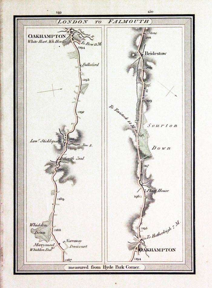
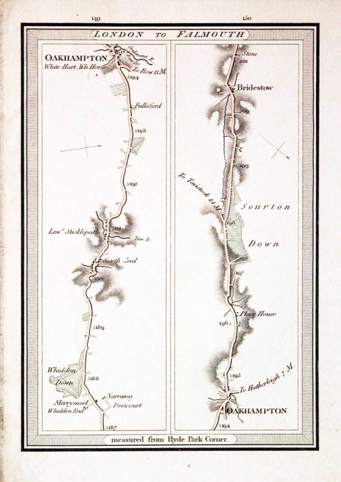
Plates 149 & 150 London to Falmouth road map by Edward Mogg
-

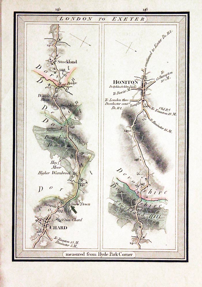
Plate 145 & 146 London to Exeter road map by Edward Mogg
-

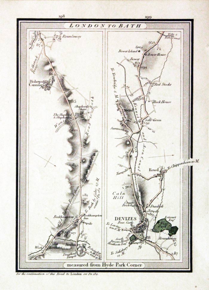
Plate 198 & 199 London to Bath road map by Edward Mogg
-

Plate 190 & 191 London to Exeter road map by Edward Mogg
-

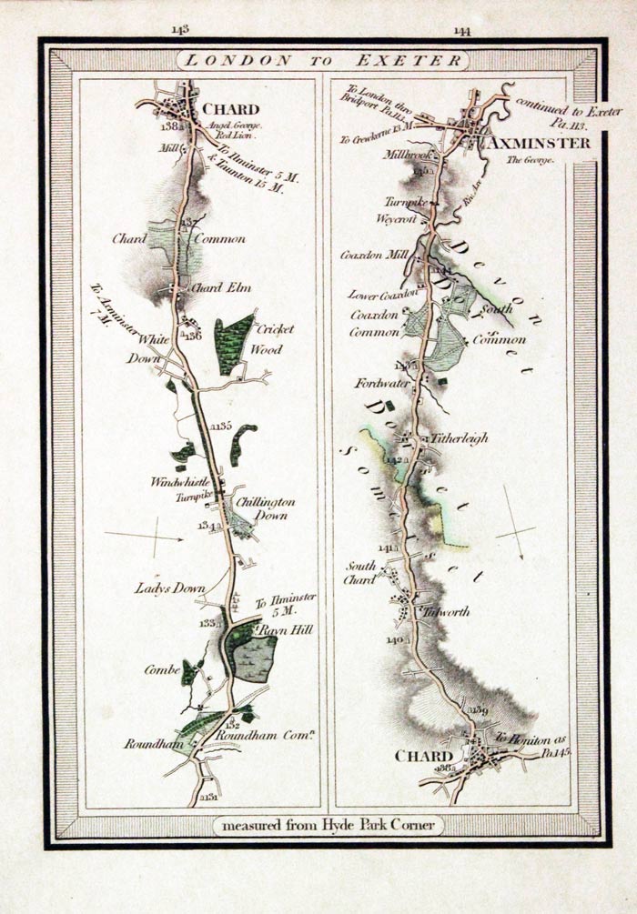
Part of the road Lonondon to Exeter, Edward Mogg 1817
-

Plate 149 & 150 London to Falmouth road map by Edward Mogg
-
Plate 53 & 54 London to Brighton road map by Edward Mogg
RICHARD NICHOLSON
of CHESTER
Stoneydale
Pepper Street
Christleton
Chester
CH3 7AG
Telephone
01244 336004
International 44 1244 336004

I have been buying and selling antique maps since the early 1960's during which time I had a gallery in Watergate Street, Chester for 30 years. I am now able to offer through my websites a personal service to map and print collectors.