RICHARD NICHOLSON of CHESTER
A WORLD OF ANTIQUE MAPS AND PRINTS
The Cartographer
JAN JANSSON
Johannes Jansson was a printer, publisher and bookseller working in Arnhem in the Netherlands from about 1597 to 1629. It is his son also named Johannes or Jan that we have to thank for a truly wonderful folio atlas of the British Isles. Jan married Elizabeth Hondius in 1612, the daughter of Jodocus Hondius the elder, a well known name to map collectors. The very same year he started his own business as a publisher of atlases and maps in Amsterdam.
It was also in 1612 that Jodocus Hondius the elder died. Jan Jansson stepped in to help his widowed mother-in-law Colette with the further publication of the Mercator-Hondius atlas. Colette died along with her son Jodocus in 1629 after which time her other son Henricus Hondius teamed up with Jan Jansson to produce a completely new revised edition of the Mercator-Hondius atlas. This was named the Novus Atlas. and first appeared in 1638. Henricus retired from the project two years later in 1640 but Jansson continued to produce eventually his Atlas Maoir which ran to eleven volumes published in many languages including Dutch, French, German and English. A truly magnificent achievement similar to his great rival Jean Blaeu who was working in Amsterdam at the same time.
Just looking at the maps of the British Isles by Jean Bleau and Jan Jansson you will see many similarities in design. In fact the when beginning to collect county maps you may doubt your decision whether a particular map is by Bleau or Jansson. If you look also at the actual map area, the coastlines, the places, the geography of the county you will find great similarities. This is because copying the work of other cartographers was rife. Far easier to copy something rather than arrange a survey of your own. Much was copied from the maps of John Speed which had been published some thirty years earlier. This meant that some errors continued to be shown on maps for many years before being corrected.
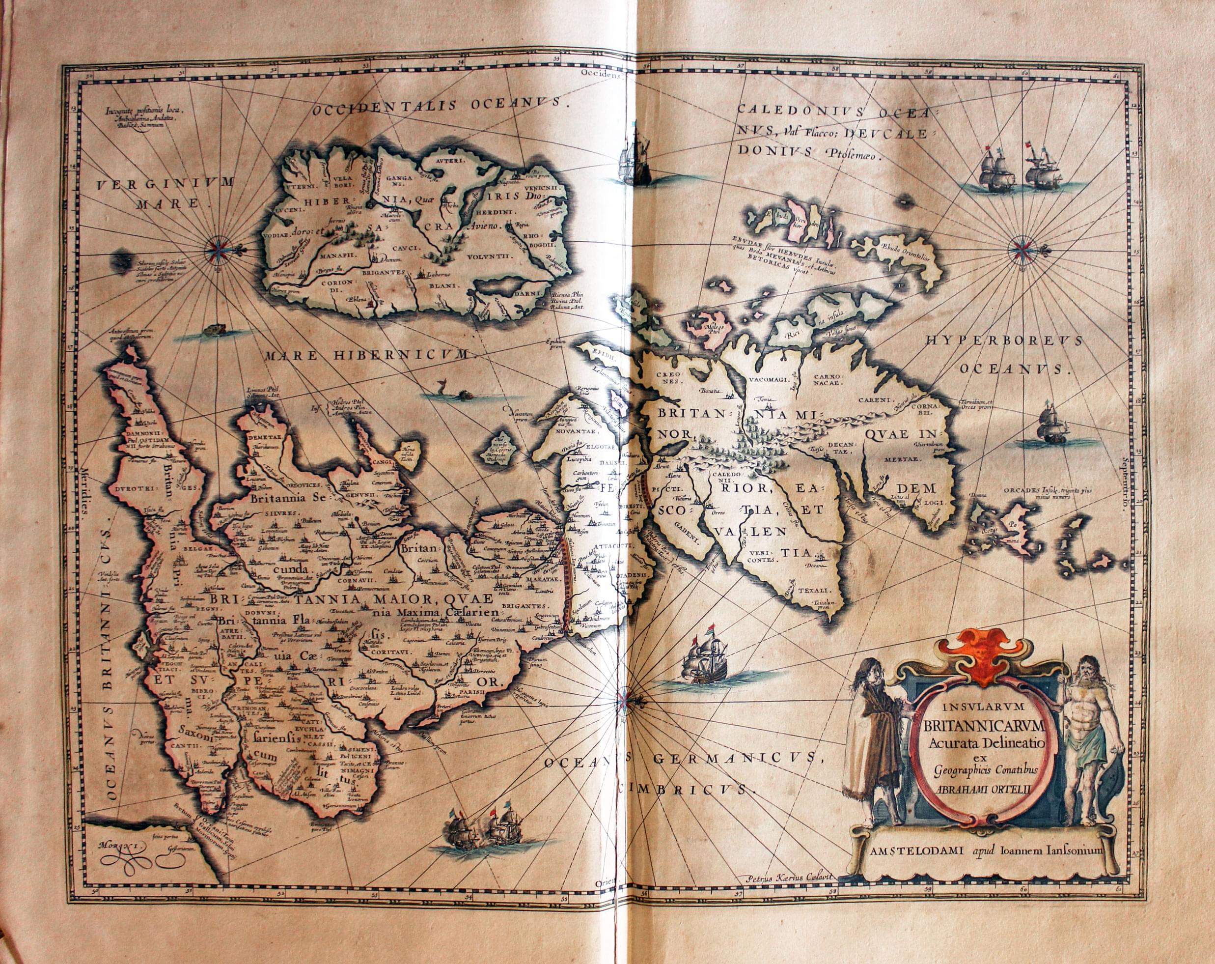
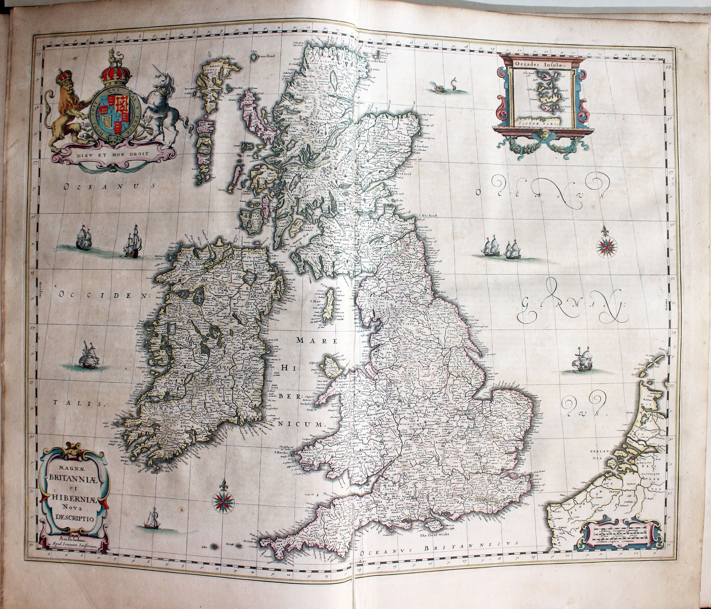
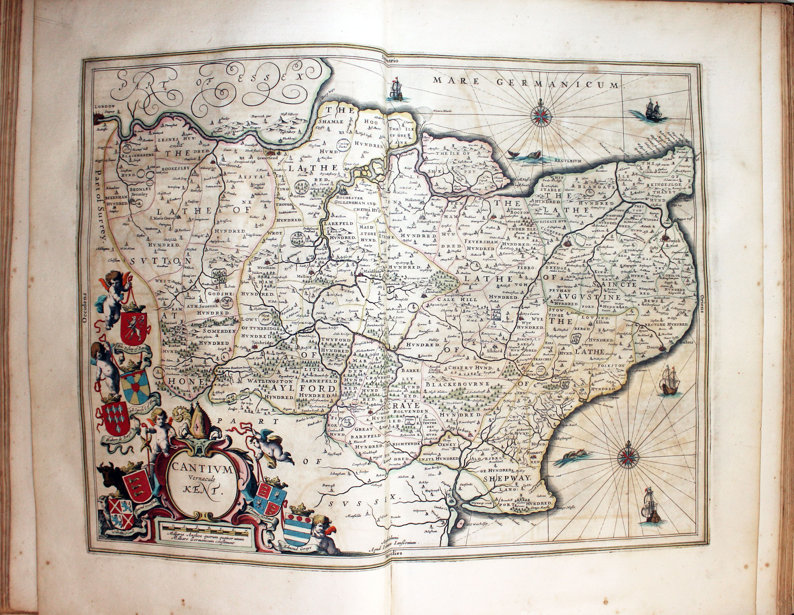
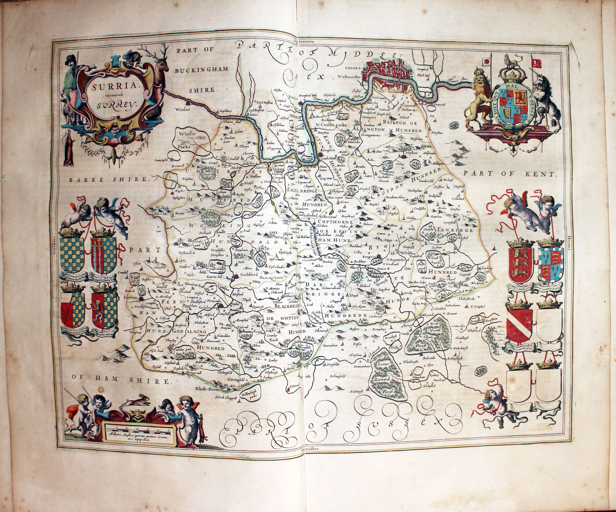
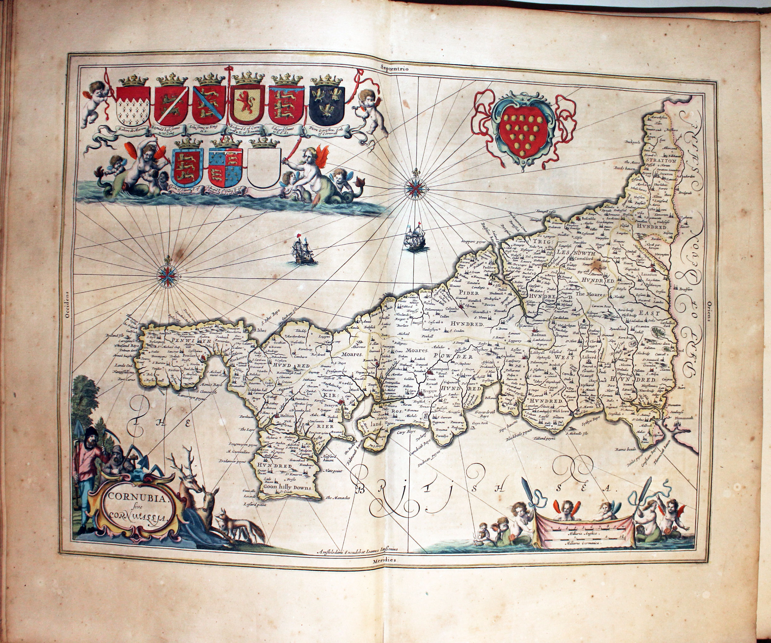
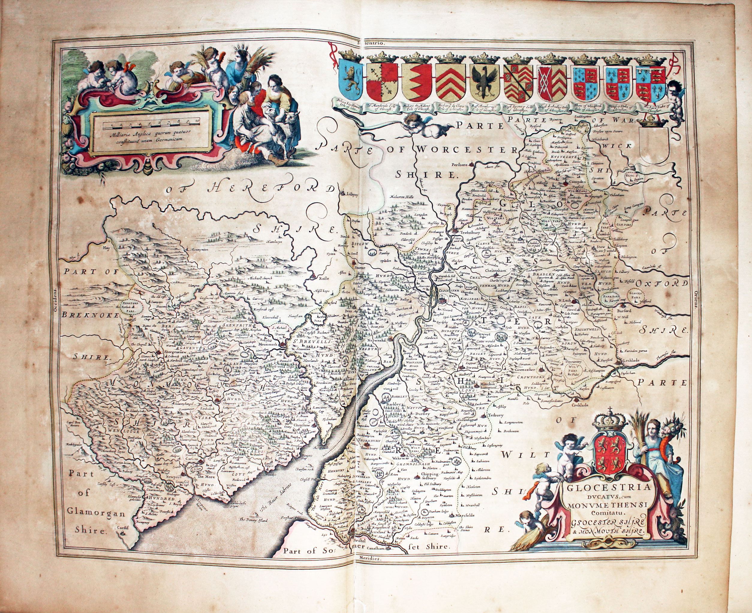
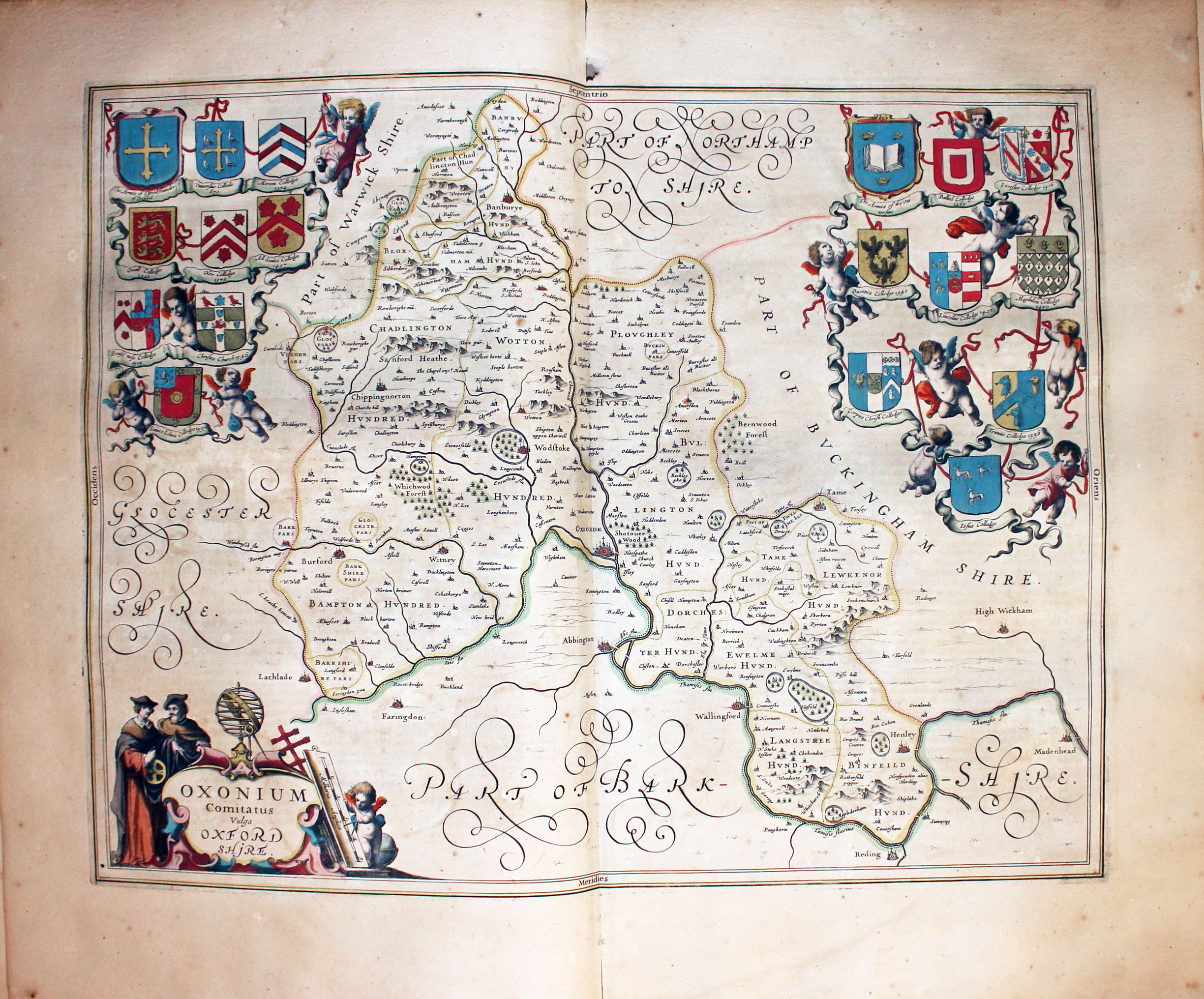
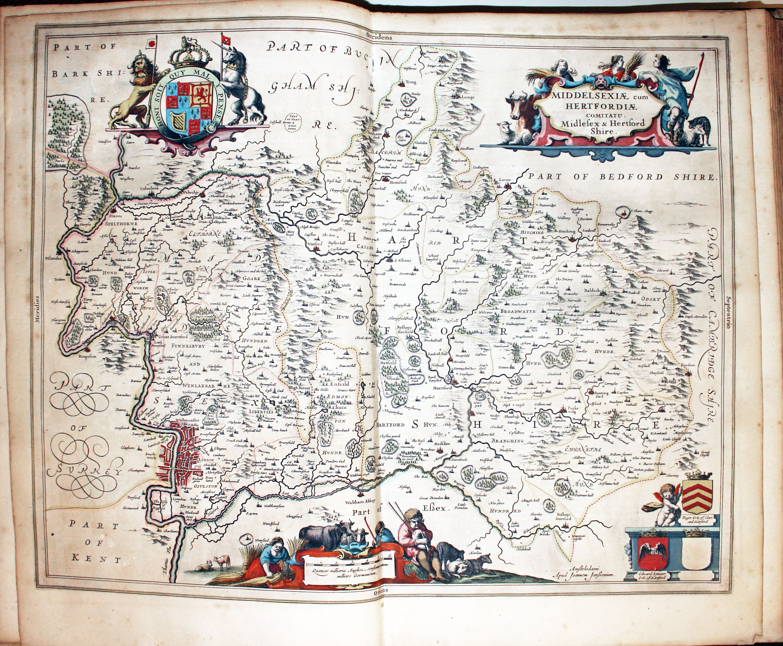
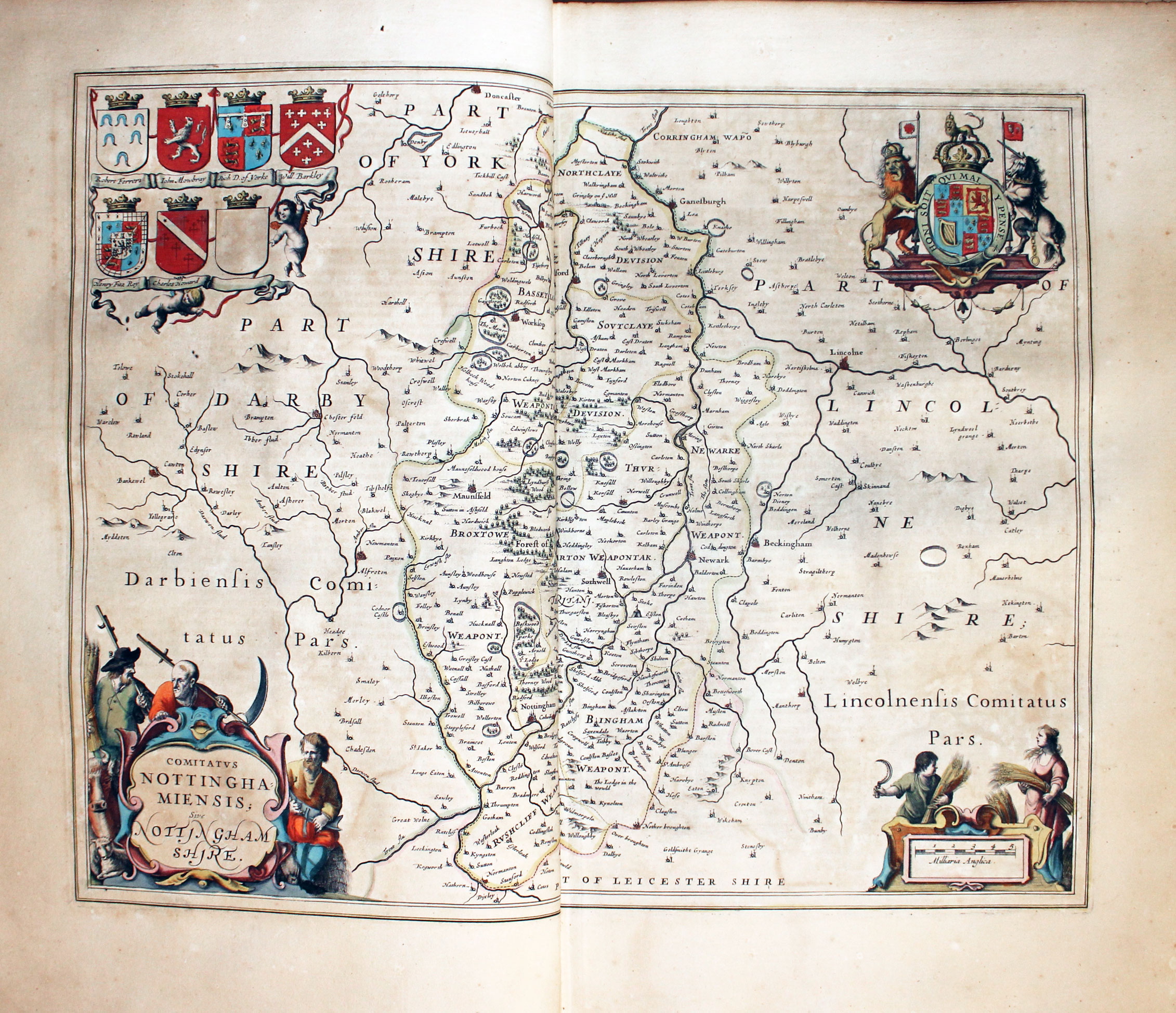
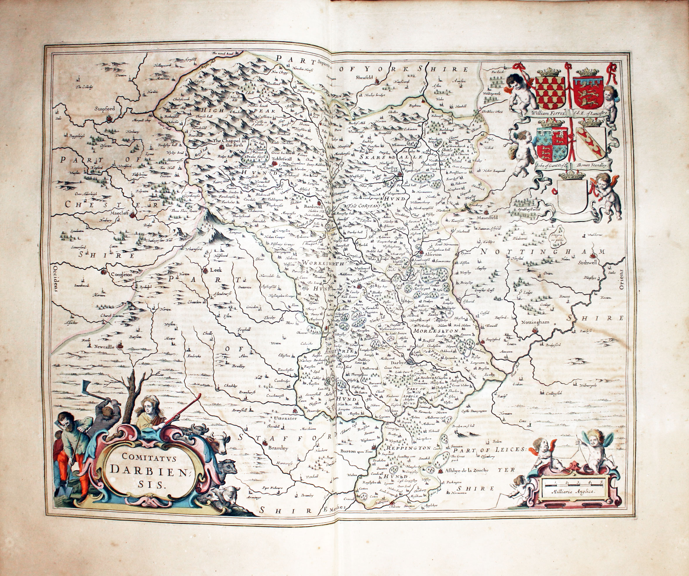
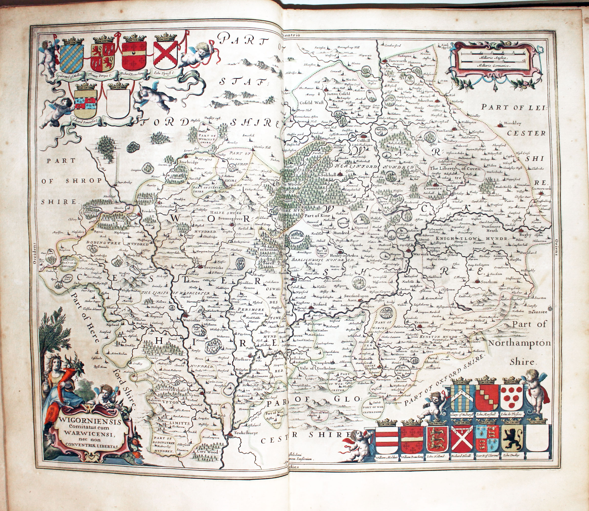
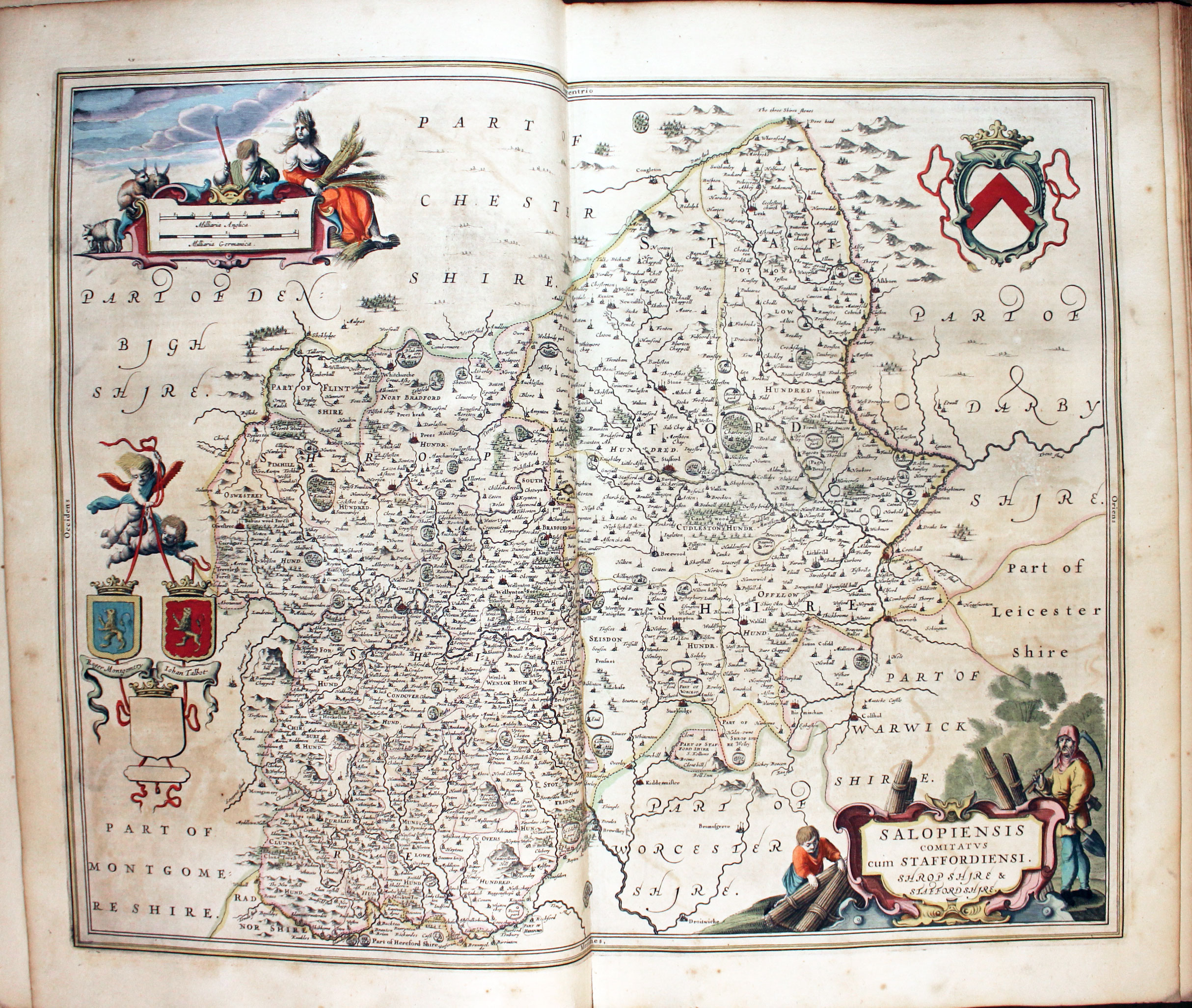
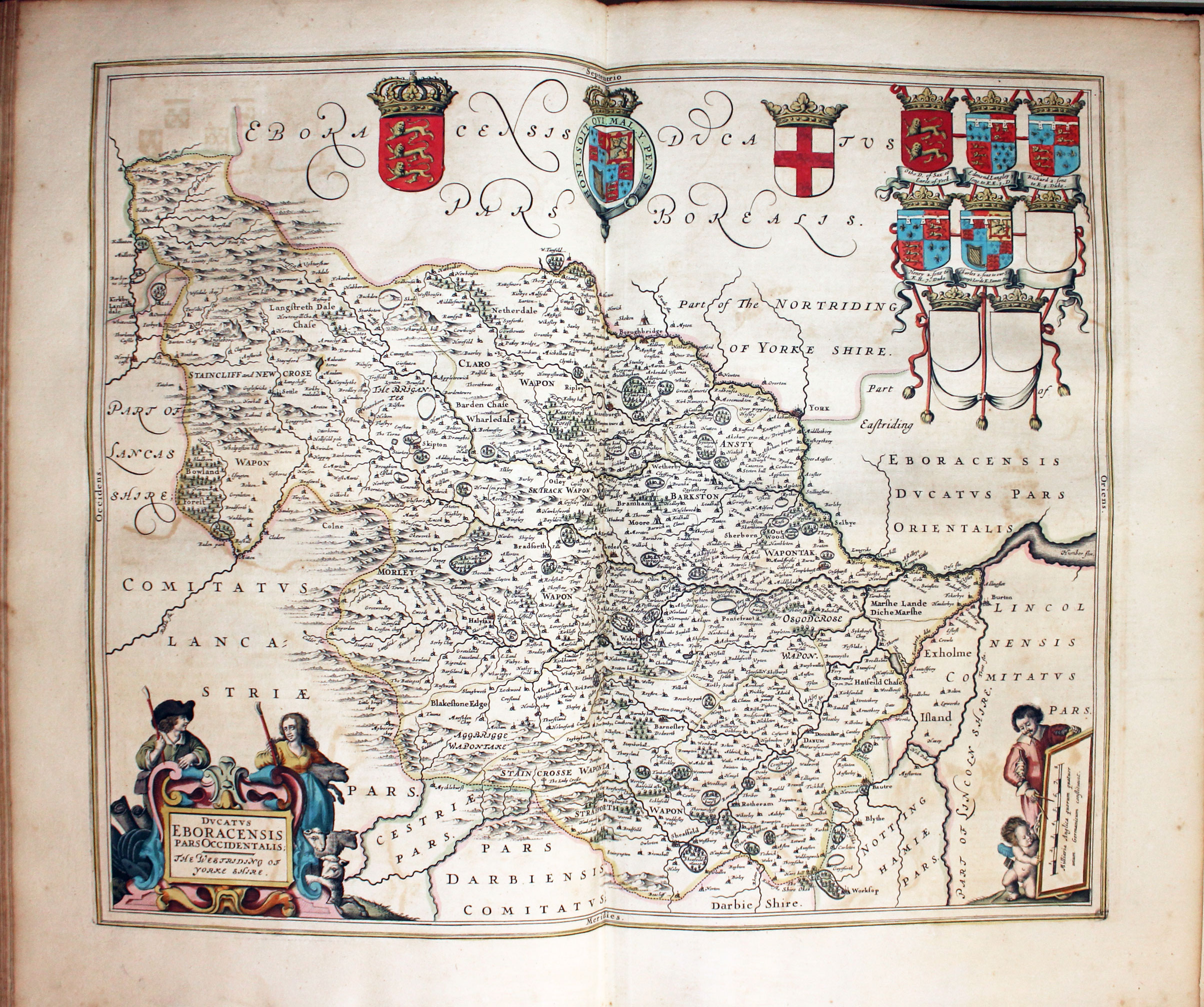
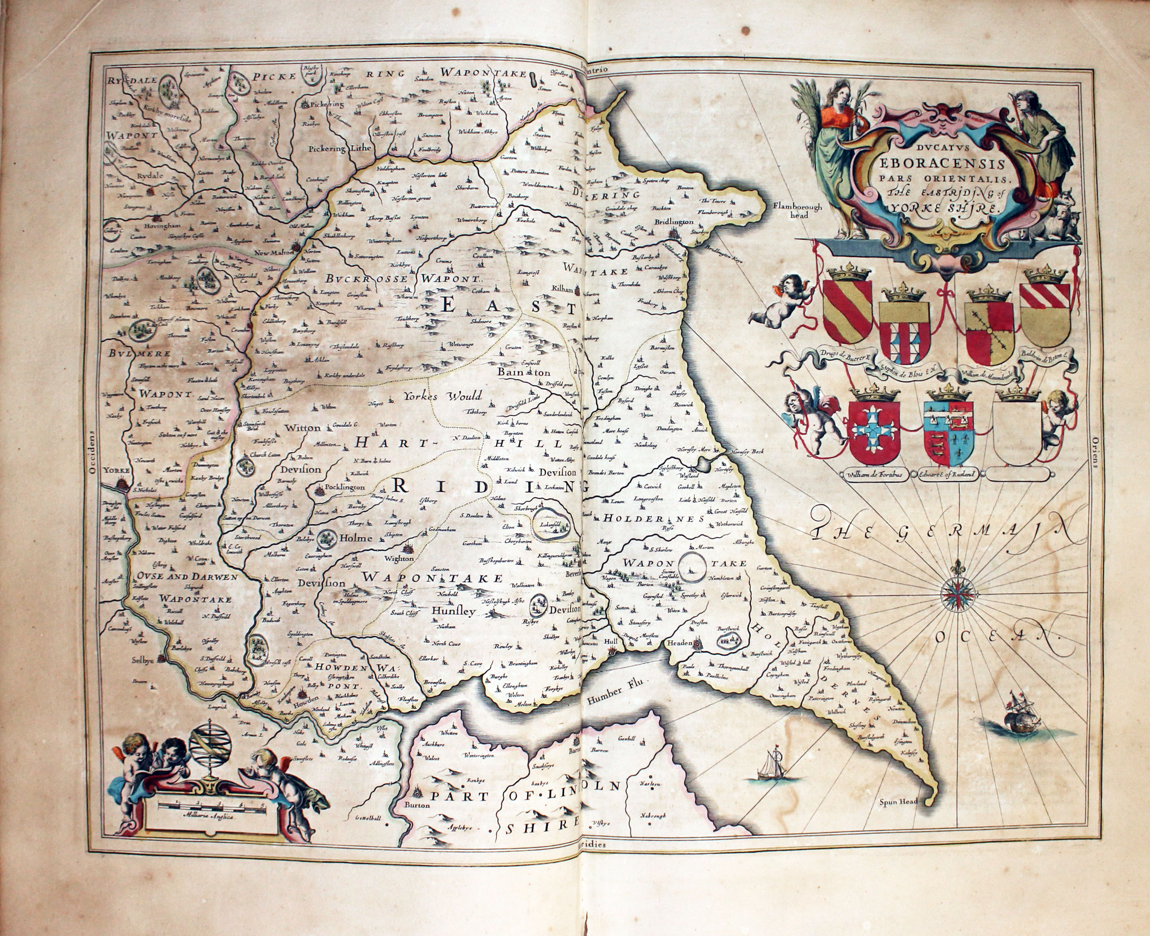
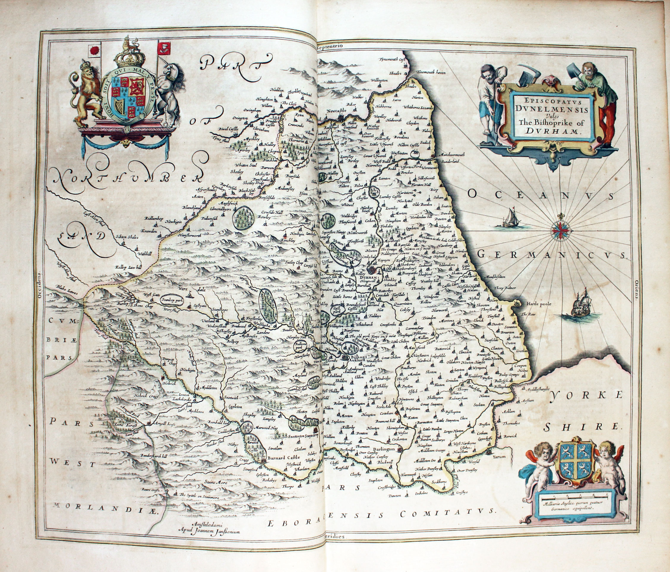
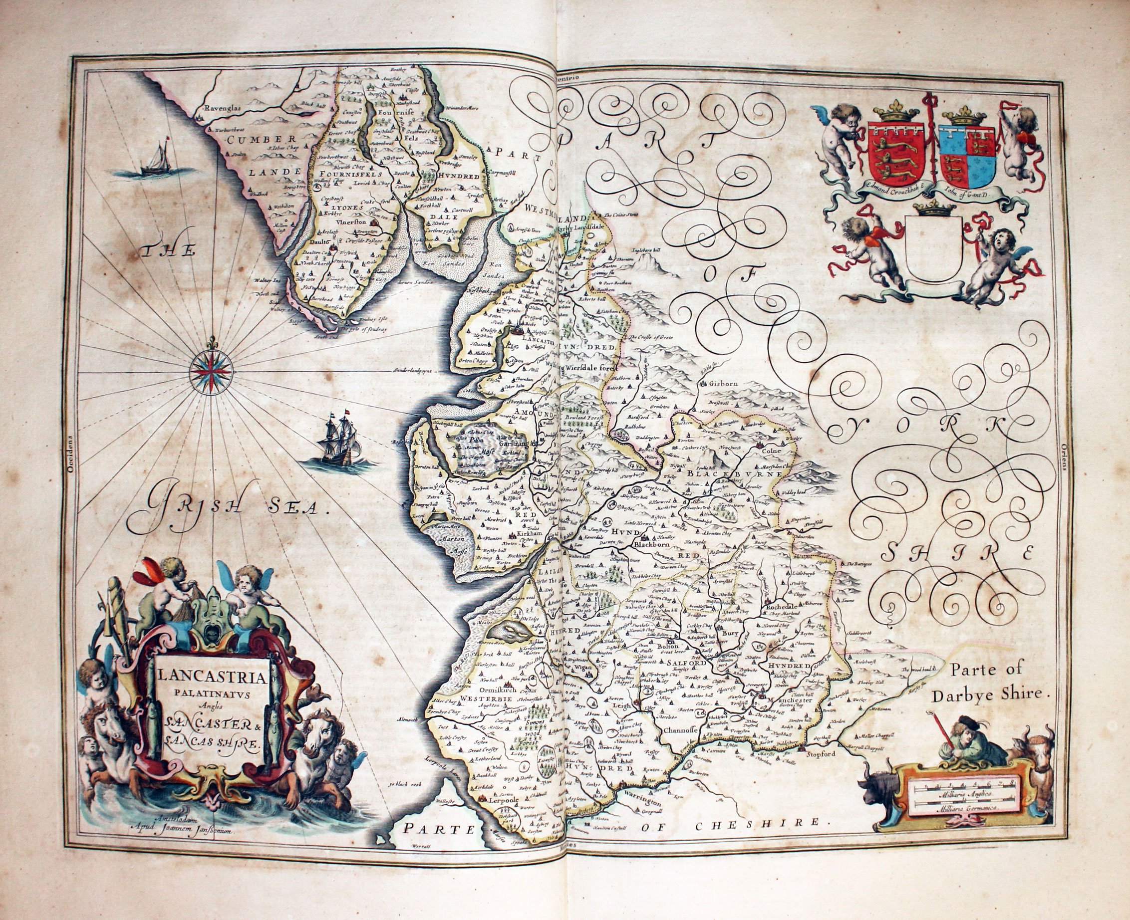
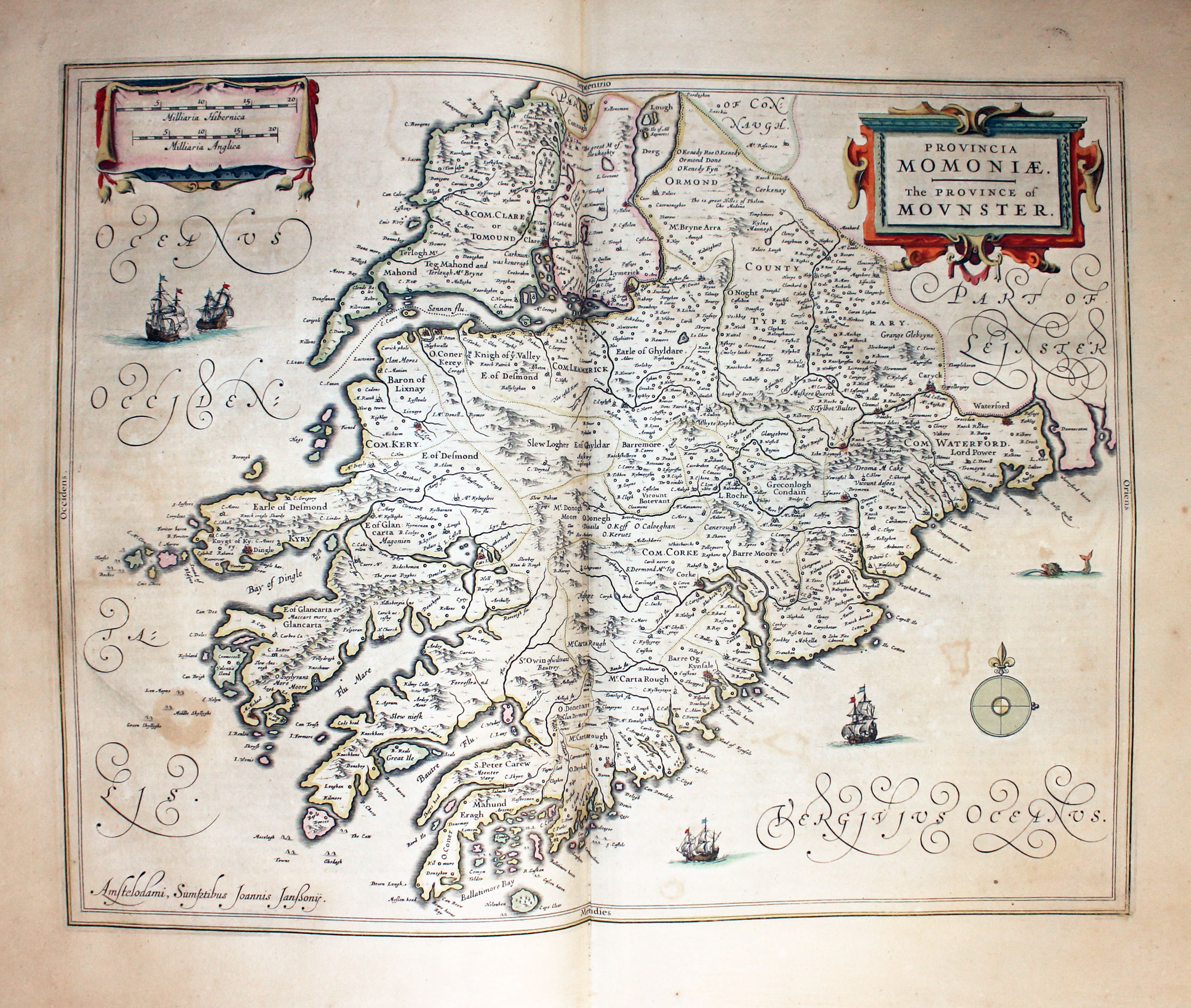
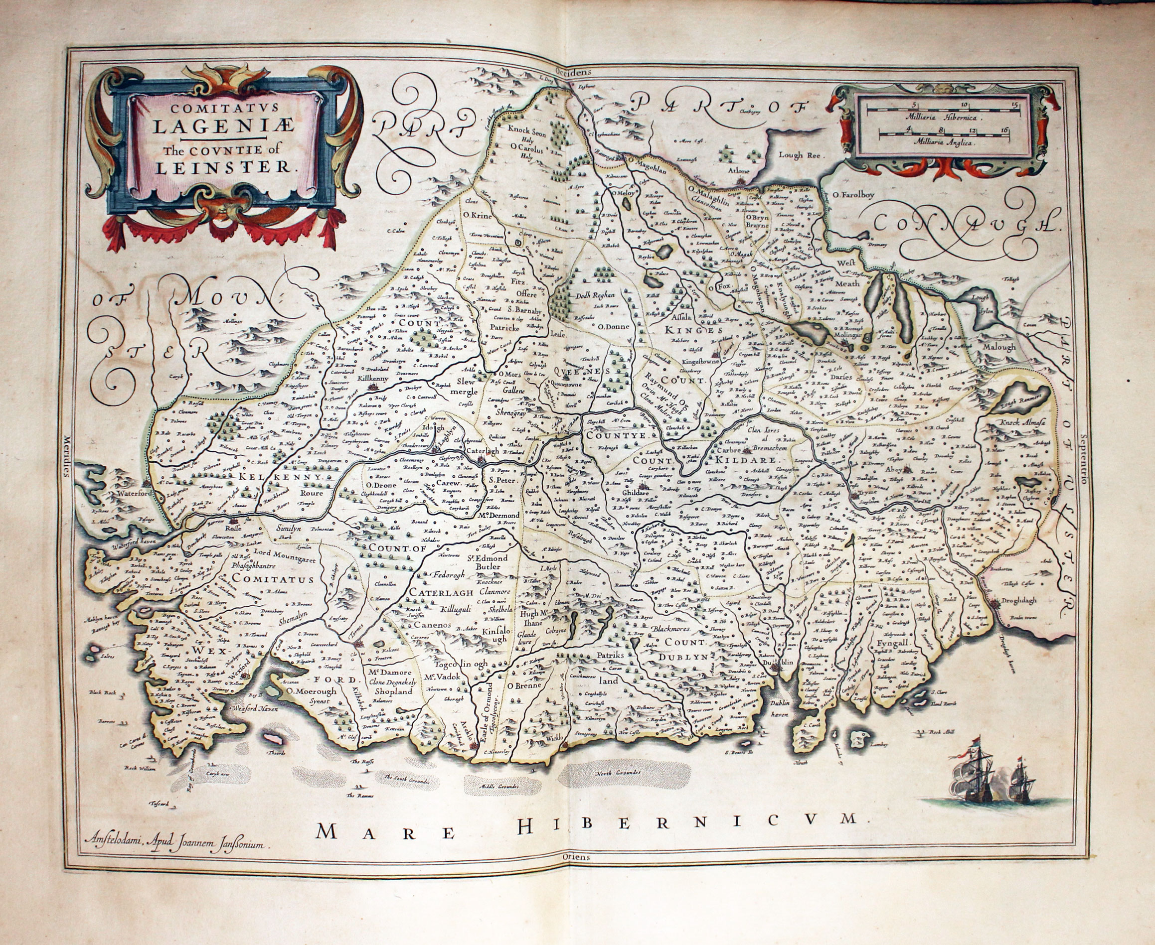
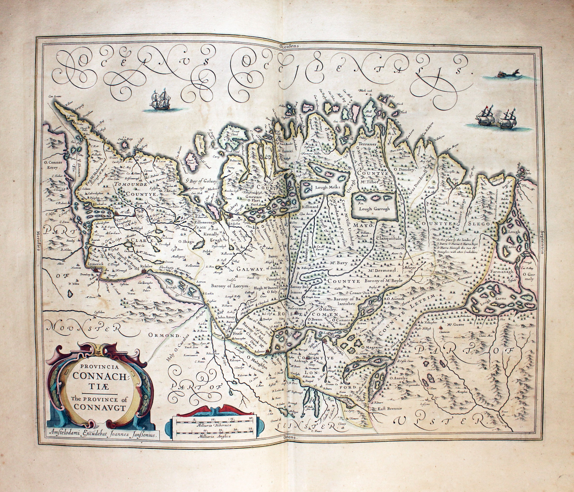
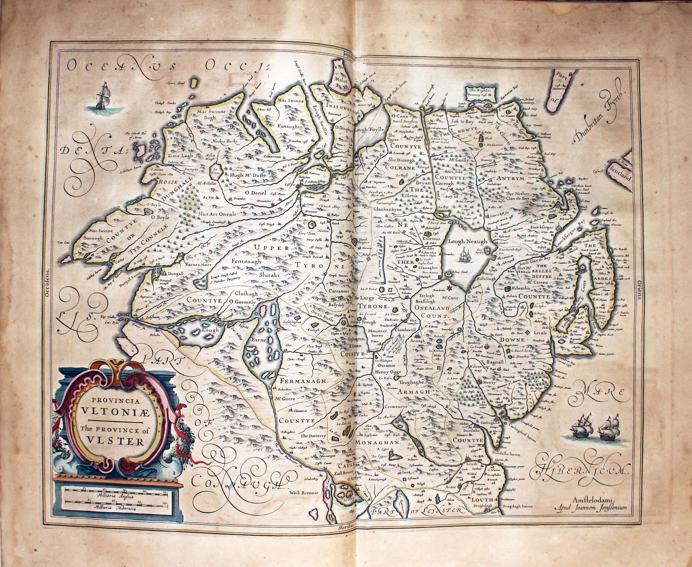
The illustrations below come from the 1647 edition of Atlas Novus in my own collection with original hand colouring. Photographing the maps still in the atlas means that most of the images are not square but should assist in you being able to identify maps you come across.
One thing you might notice when starting to collect antique maps is that you will find many more specimens of Jansson's maps compared to Blaeu's maps have browning to the paper. This must be due to where the two cartographers sourced their paper from. Of all the Jansson and Blaeu atlases that have passed through my hands over the years I have never come across a Jansson atlas as clean and free from browning and spotting as some of the Blaeu atlases I have owned.
I have found that many people starting or thinking of starting to collect antique maps are astounded at how good the condition of some maps can be. In fact they start to suspect the maps are modern reproductions. The reason that many are in such good condition is because they have for the greater part of their lives been shut tightly in an atlas and perhaps rarely looked at or handled. The most dangerous part of their life starts when they are extracted from the atlas. So please handle your maps with care so that future collectors can enjoy the same joy and excitement as yourself.

Map Gallery
Gallery - Atlas Novus 1647
-

Map of the British Isles by Jan Jansson 1647
-
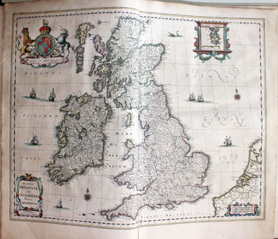
Map of the British Isles by Jan Jansson 1647
-

Map of the England and Wales by Jan Jansson 1647
-

Map of the Saxon Heptarchy by Jan Jansson 1647
-

Map of Kent by Jan Jansson 1647
-

Map of Sussex by Jan Jansson 1647
-
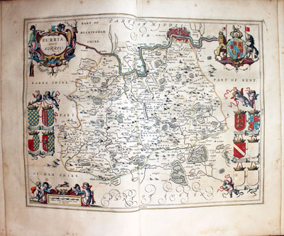
Map of Surrey by Jan Jansson 1647
-

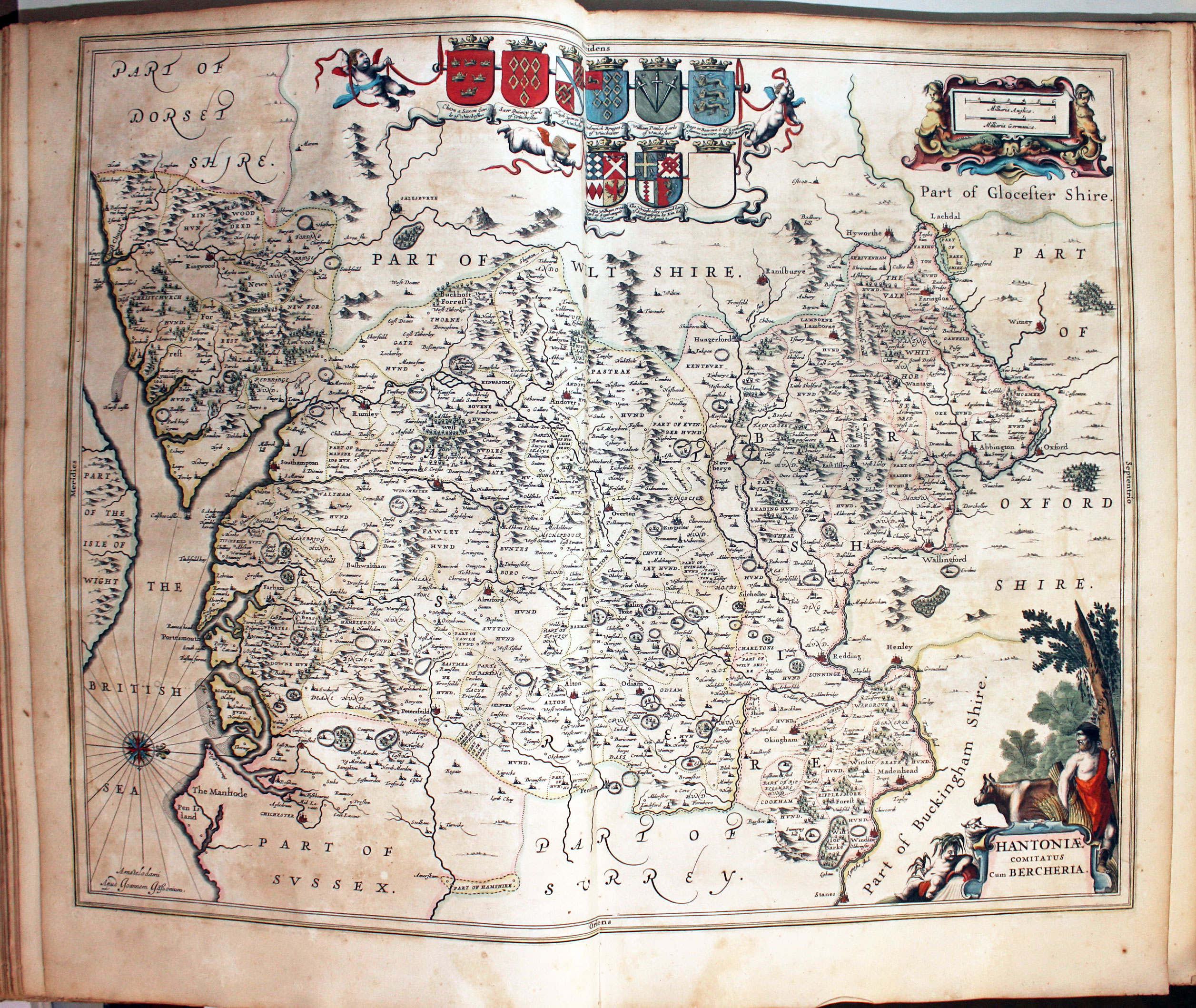
Map of Hampshire and Berkshire by Jan Jansson 1647
-

Map of Wiltshire by Jan Jansson 1647
-
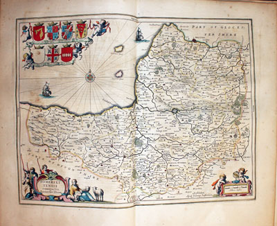
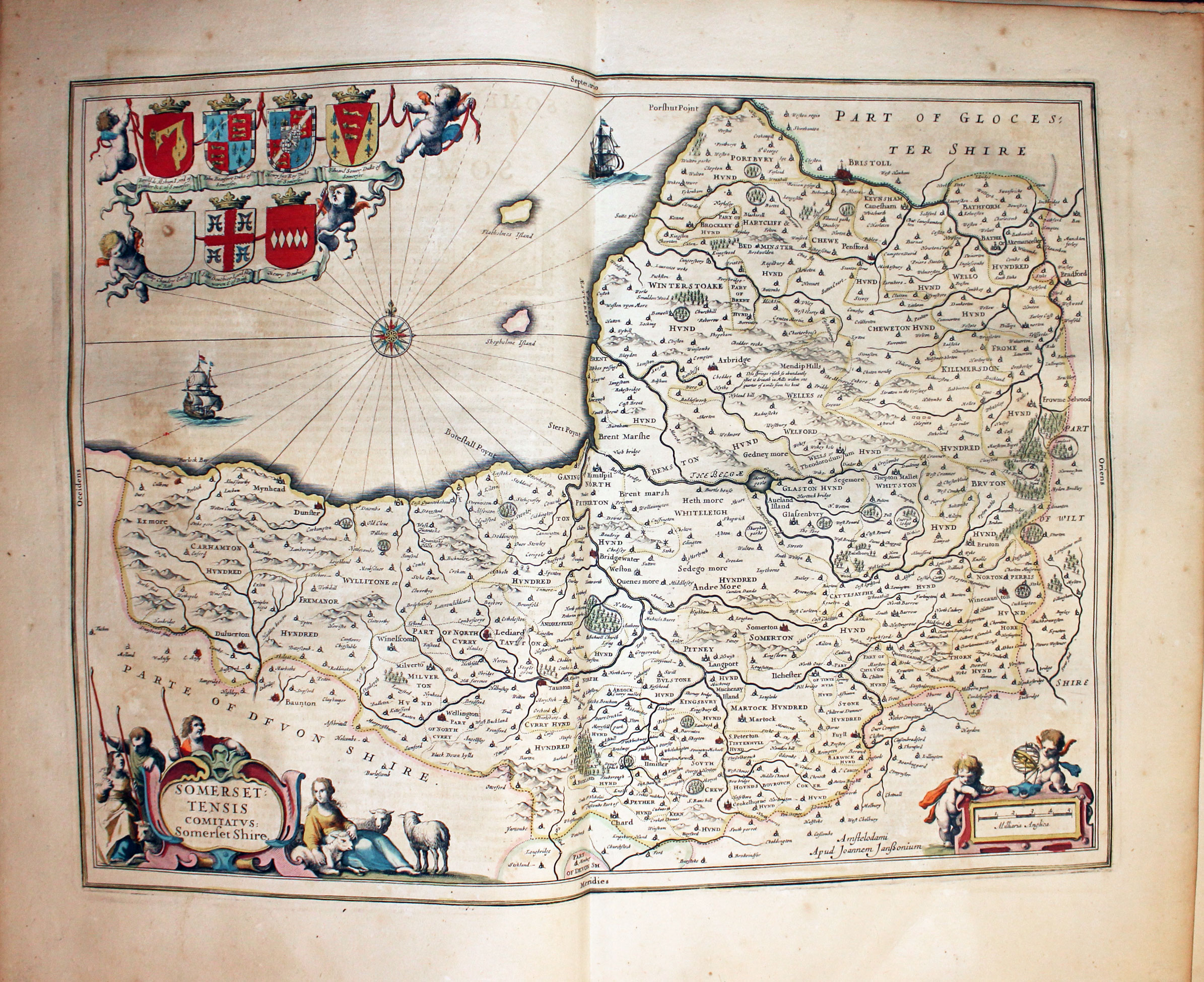
Map of Somersetshire by Jan Jansson 1647
-
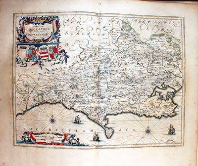
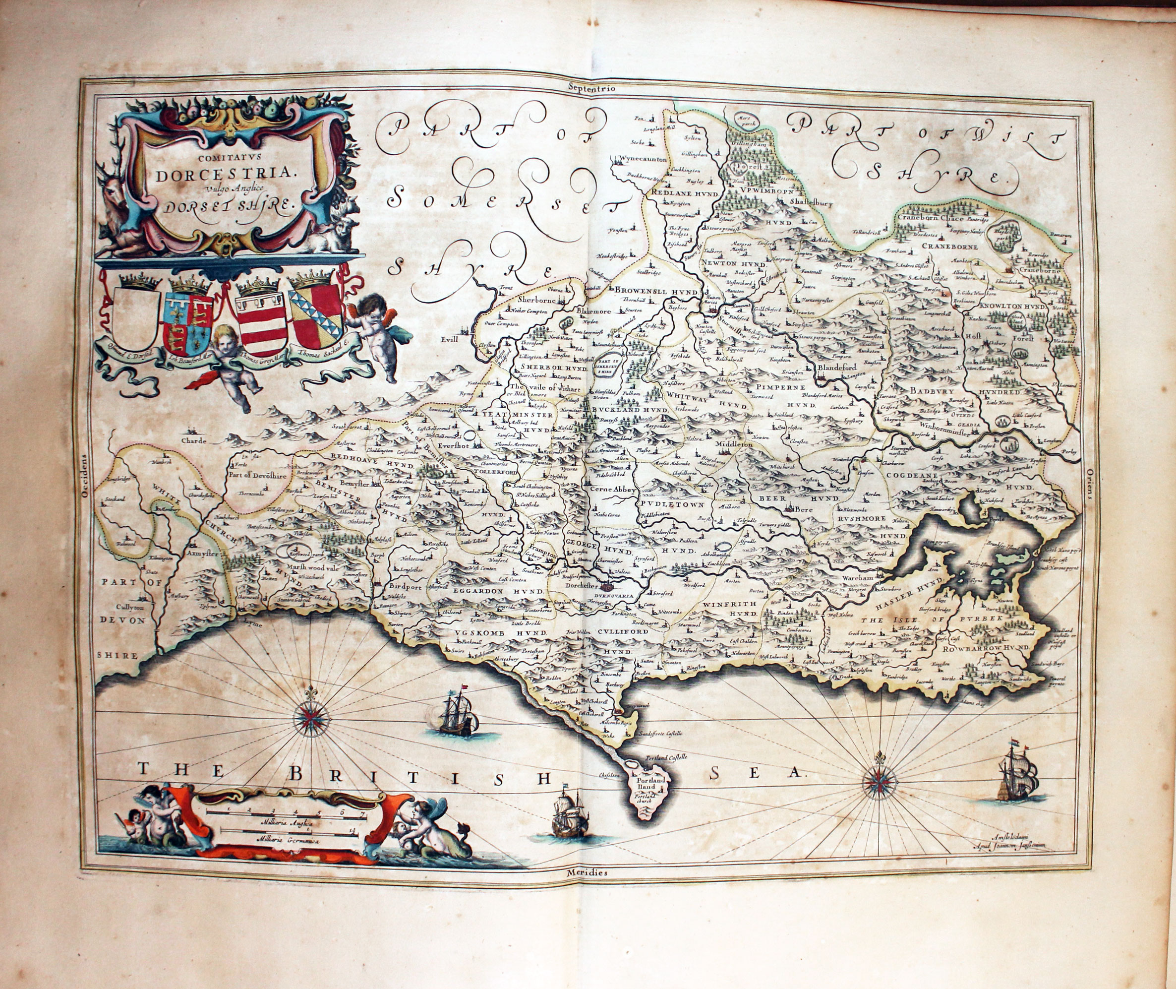
Map of Dorsetshire by Jan Jansson 1647
-

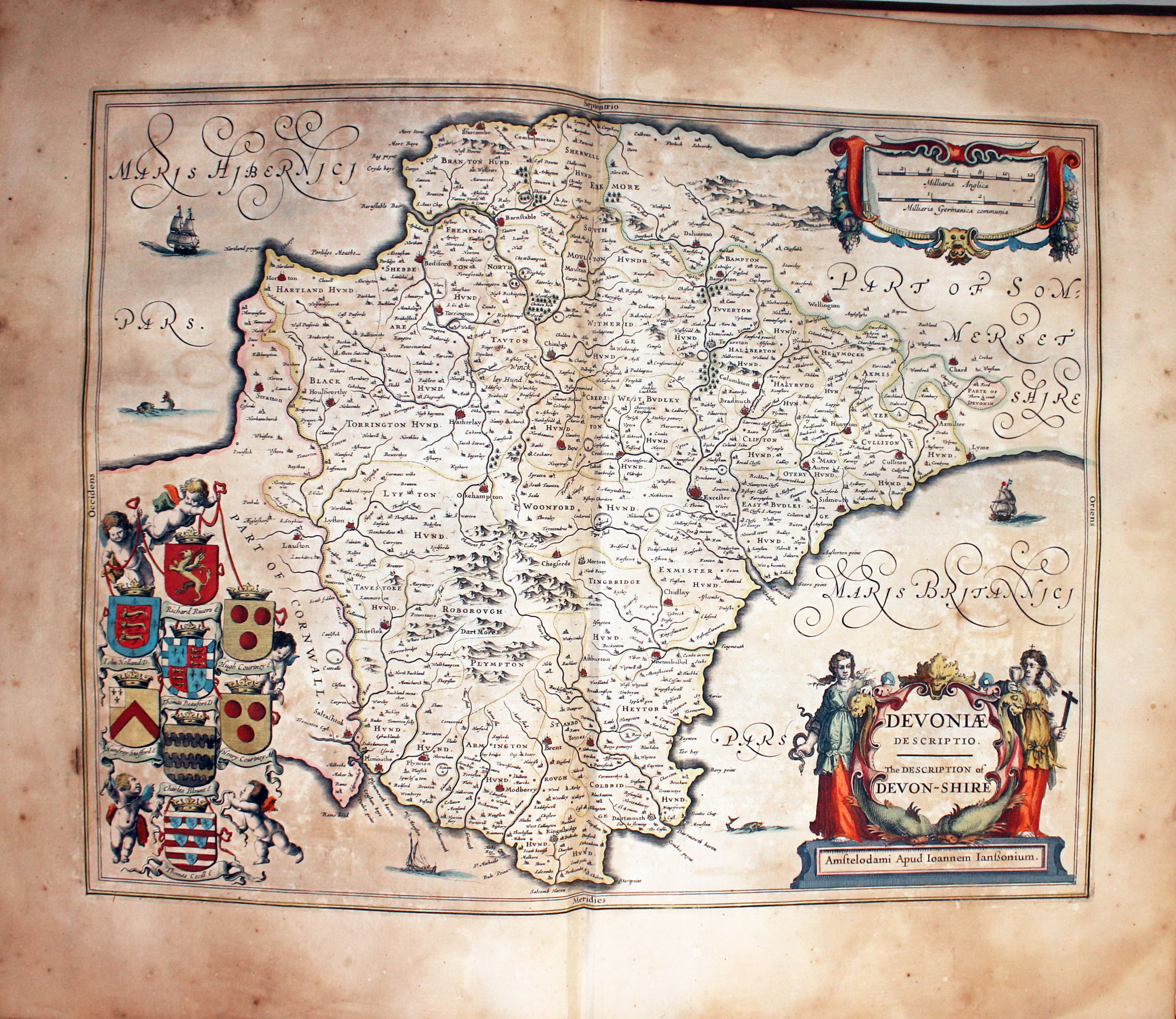
Map of Devonshire by Jan Jansson 1647
-
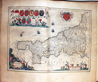
Map of Cornwall by Jan Jansson 1647
-
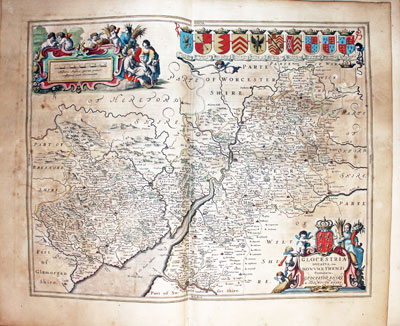
Map of Gloucestershire and Monmouthshire by Jan Jansson 1647
-

Map of Oxfordshire by Jan Jansson 1647
-

Map of Buckinghamshire and Bedfordshire by Jan Jansson 1647
-

Map of Middlesex and Hertfordshire by Jan Jansson 1647
-

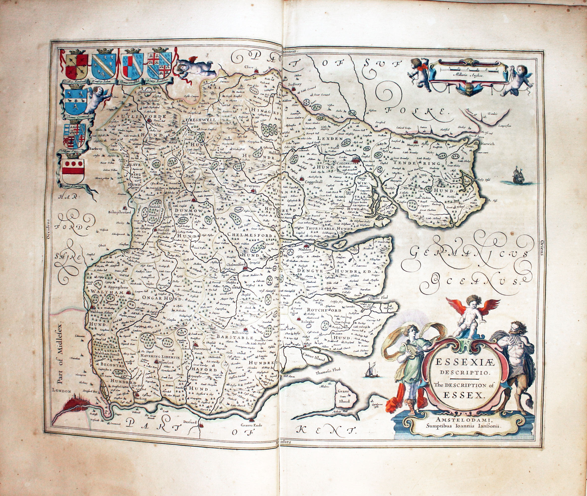
Map of Essex by Jan Jansson 1647
-
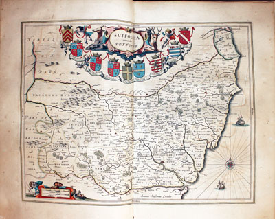
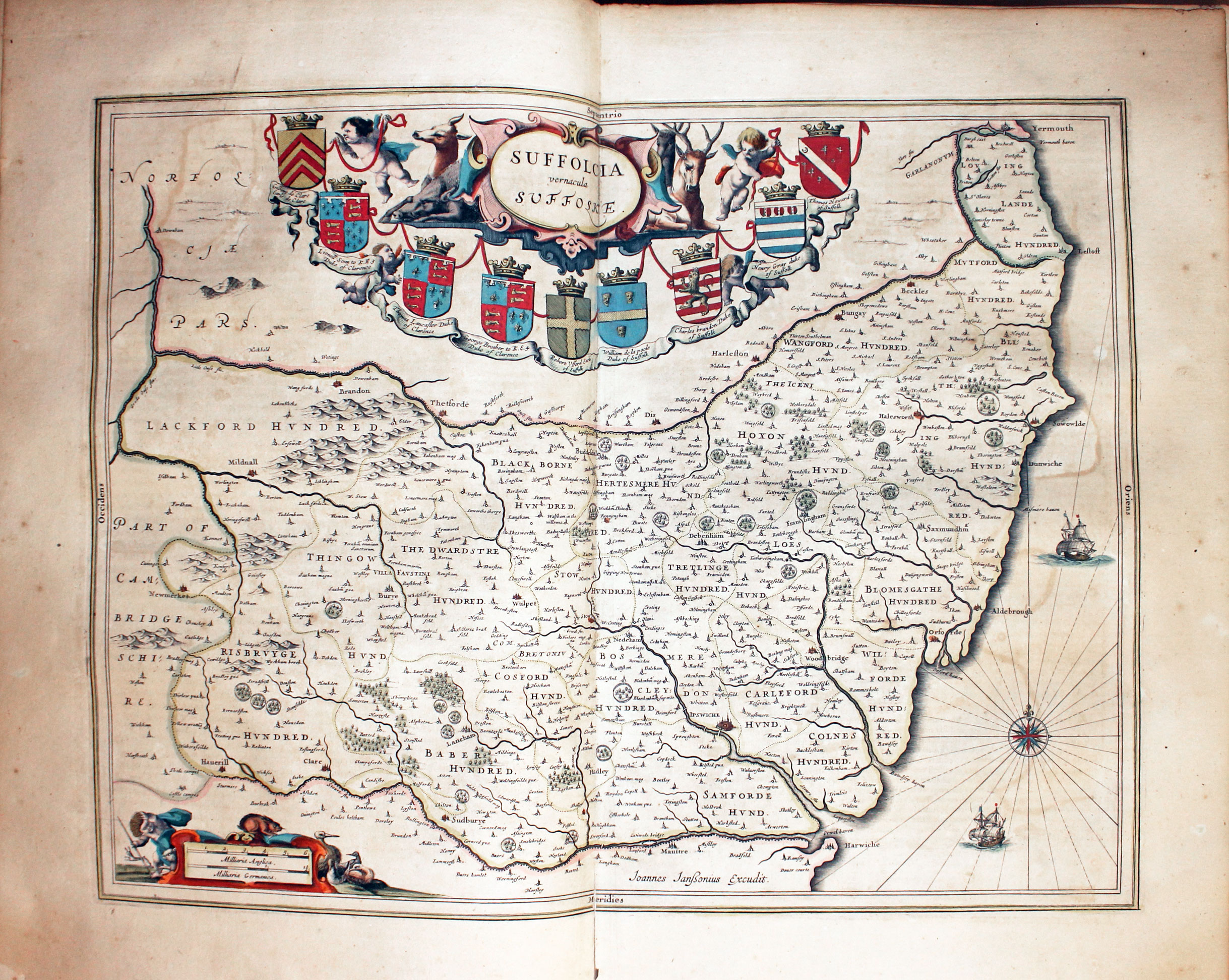
Map of Suffolk by Jan Jansson 1647
-

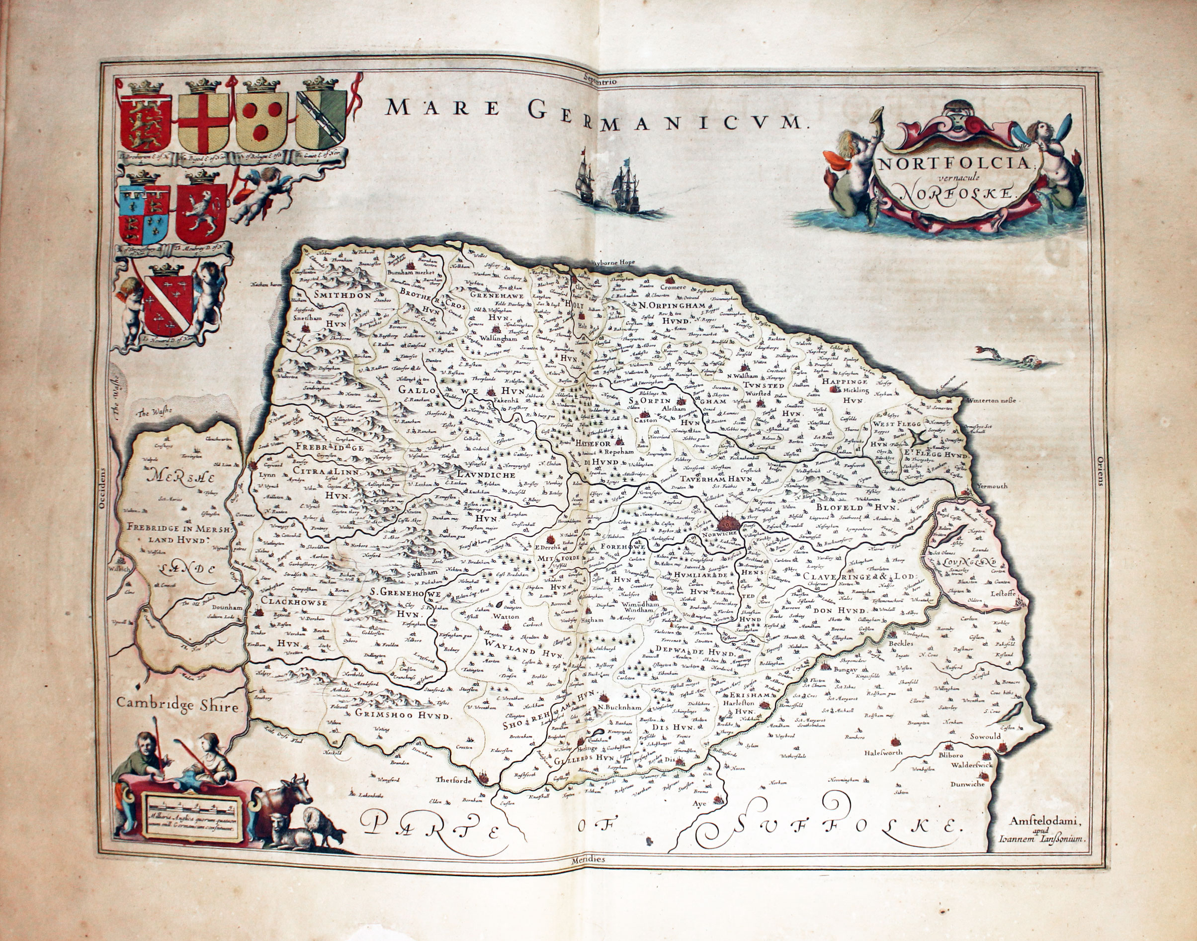
Map of Norfolk by Jan Jansson 1647
-
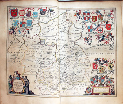
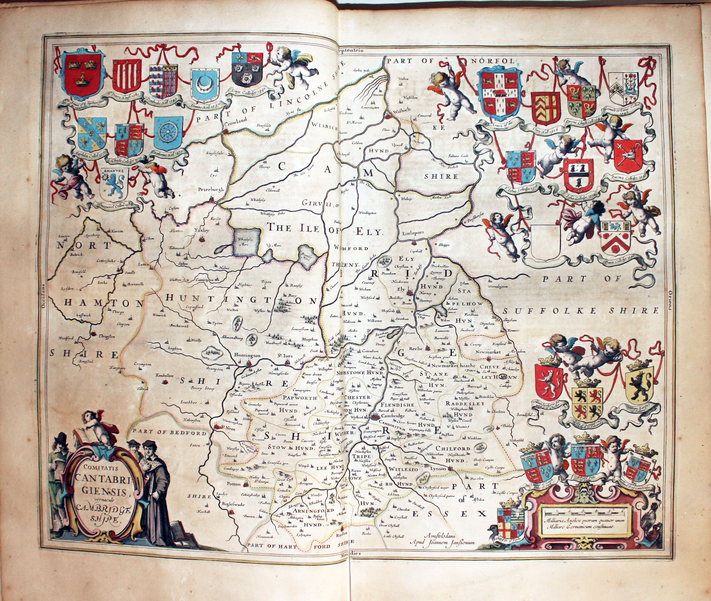
Map of Cambridgeshire by Jan Jansson 1647
-

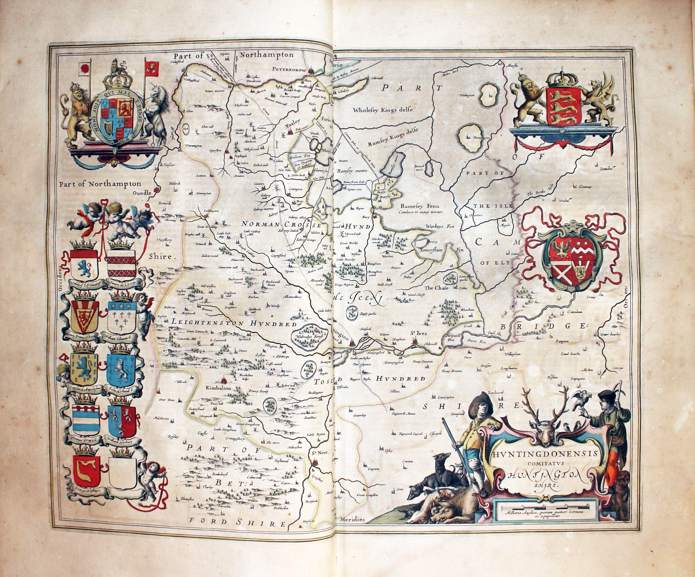
Map of Huntingdonshire by Jan Jansson 1647
-
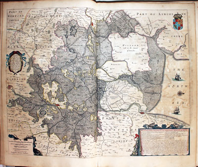
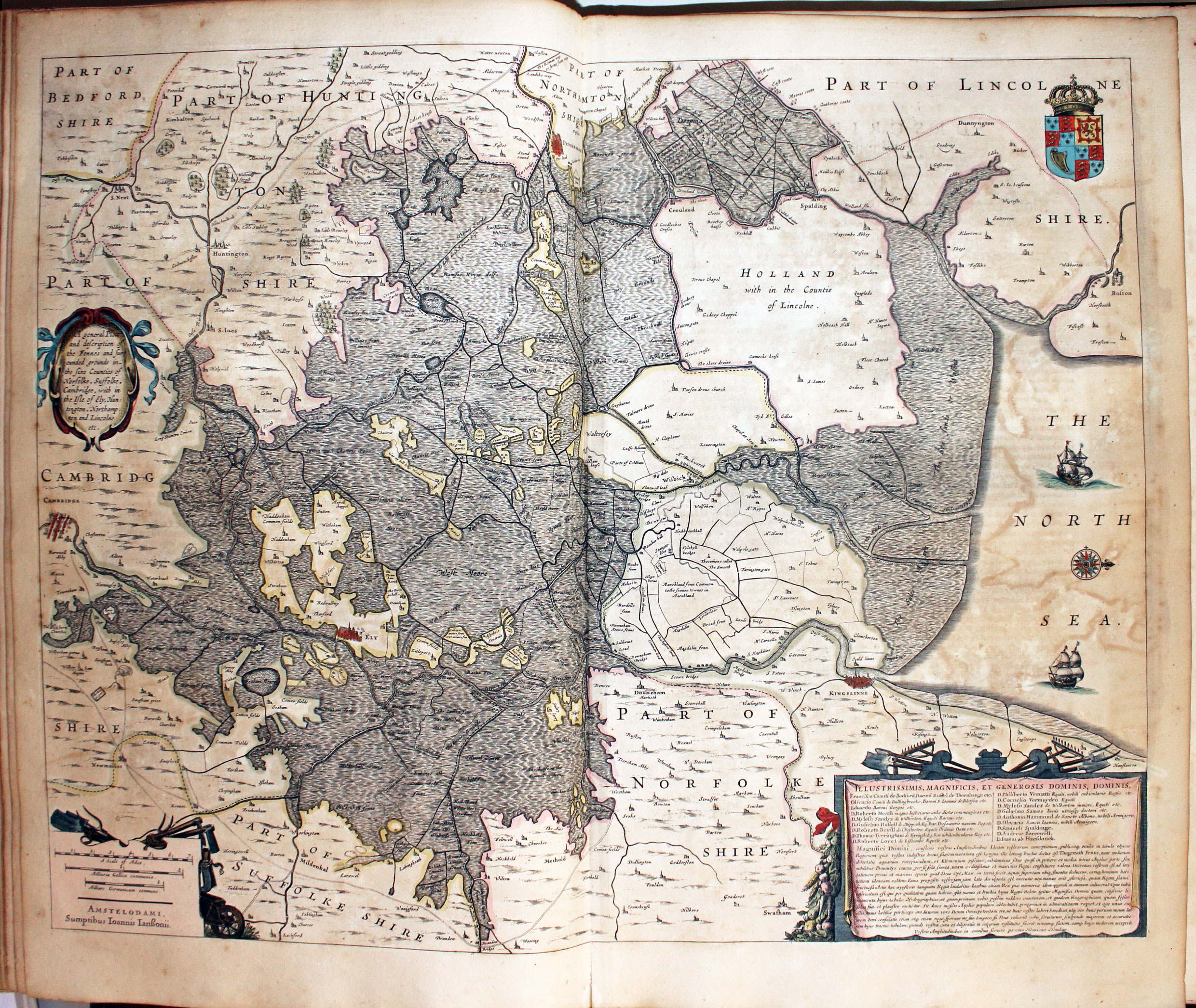
Map of the Fens by Jan Jansson 1647
-
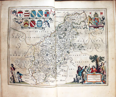
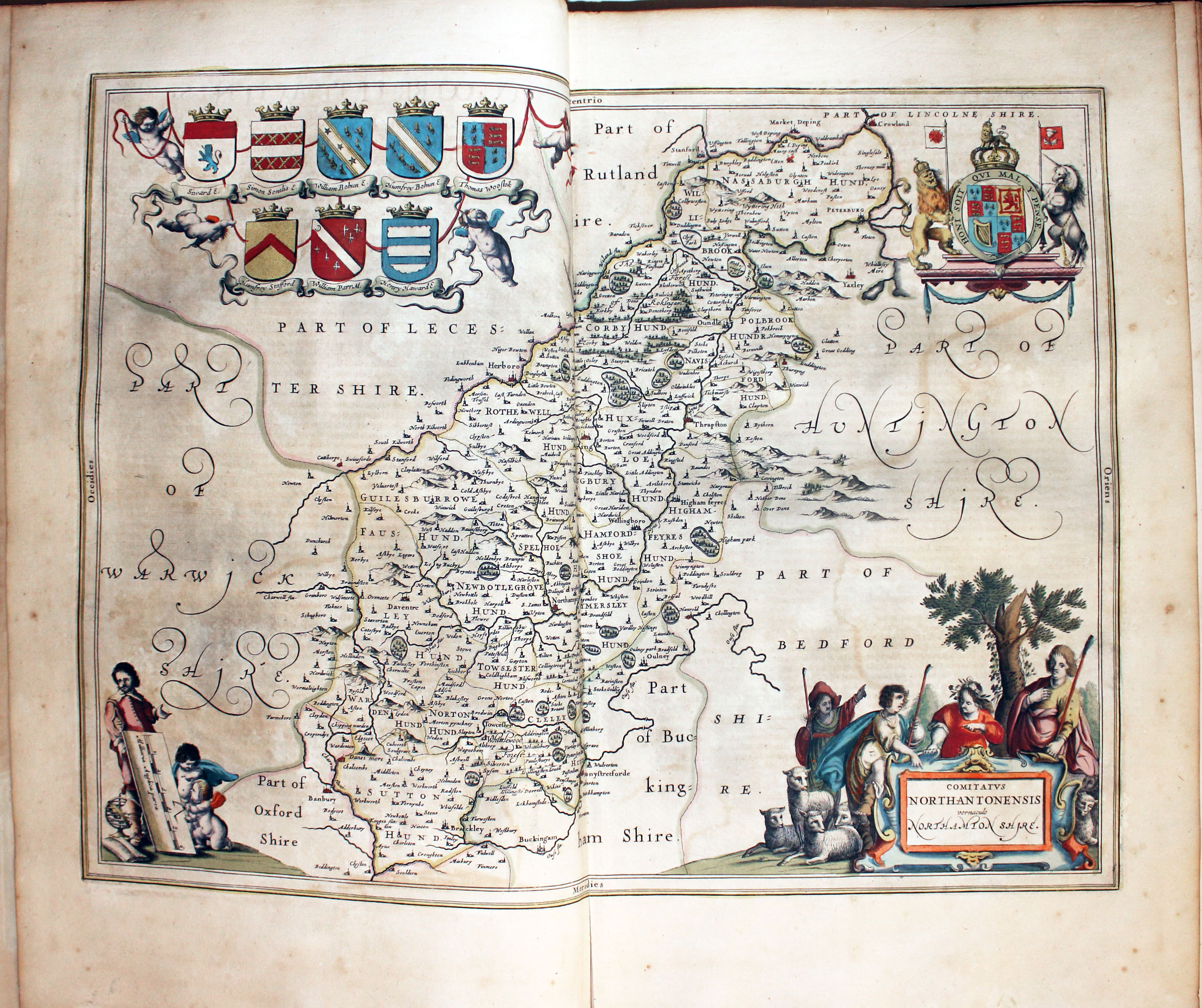
Map of the Northamptonshire by Jan Jansson 1647
-
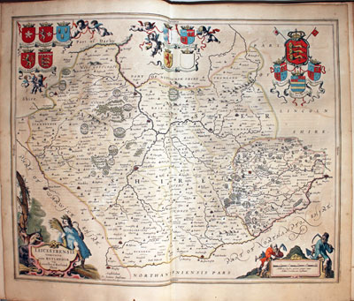
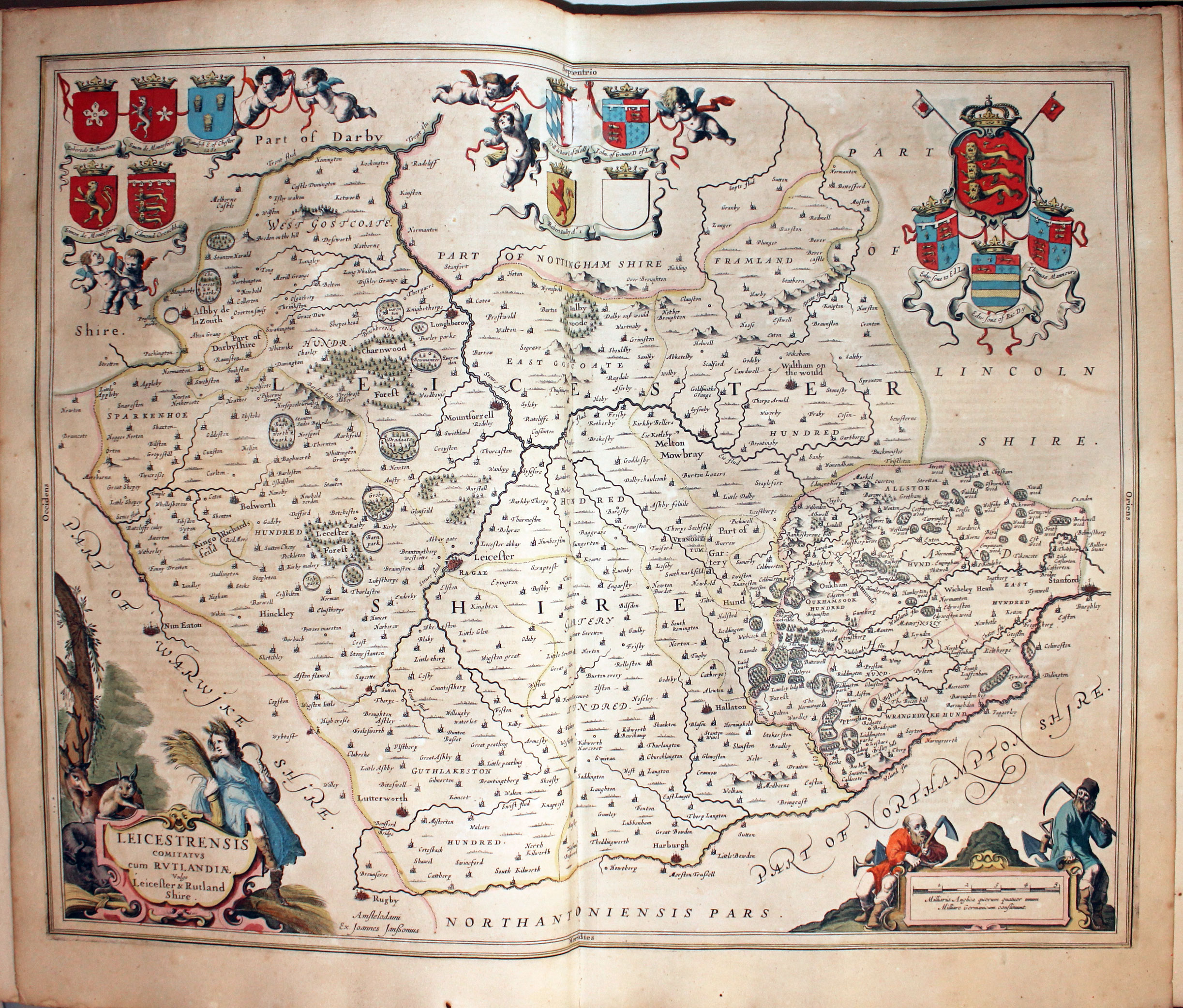
Map of Leicestershire and Rutlandshire by Jan Jansson 1647
-
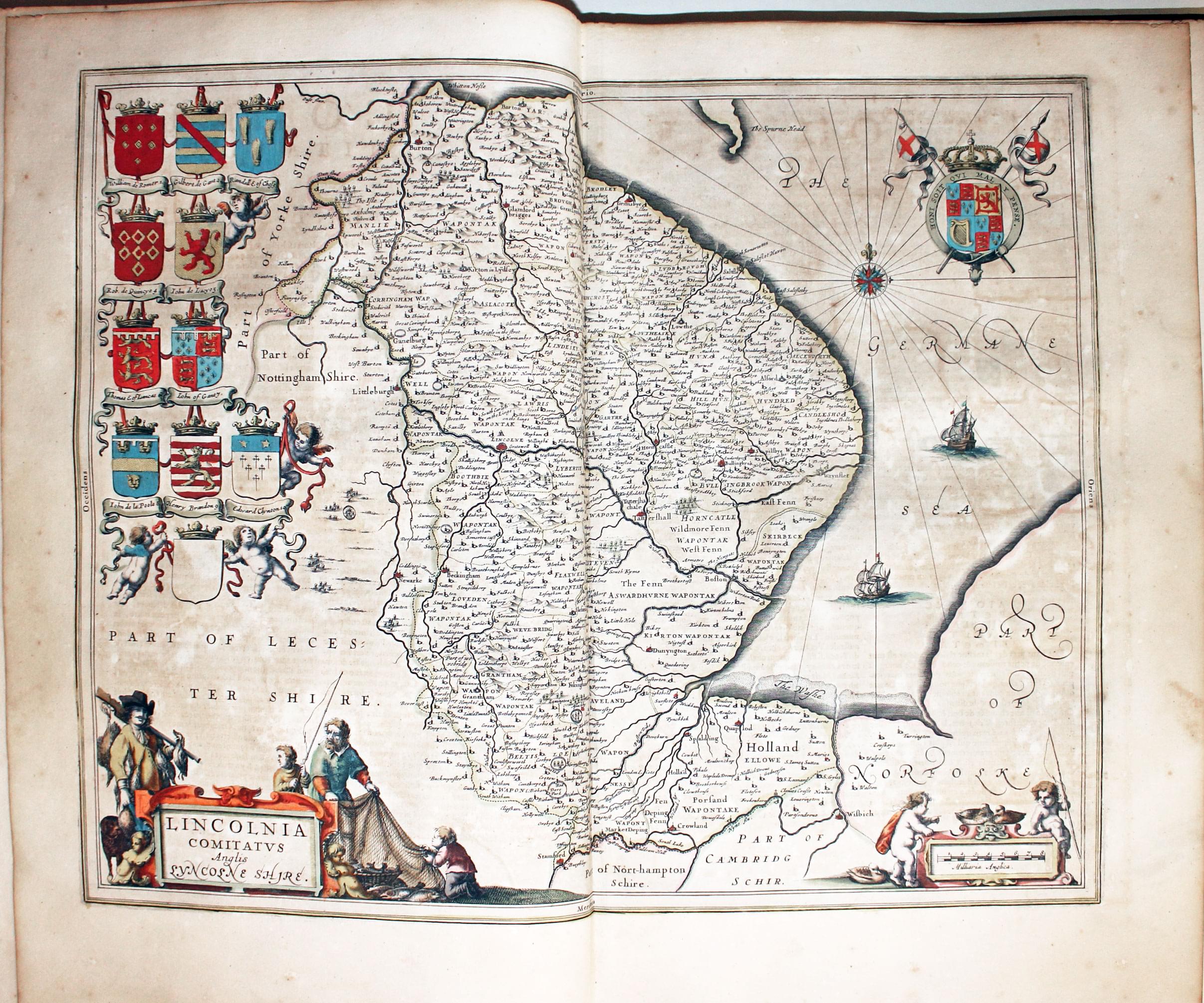
Map of Lincolnshire by Jan Jansson 1647
-
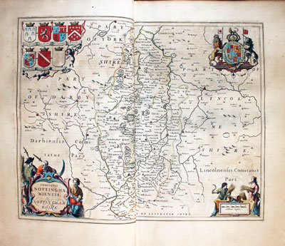
Map of Nottinghamshire by Jan Jansson 1647
-
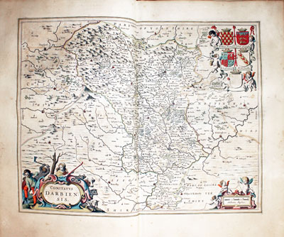
Map of Derbyshire by Jan Jansson 1647
-
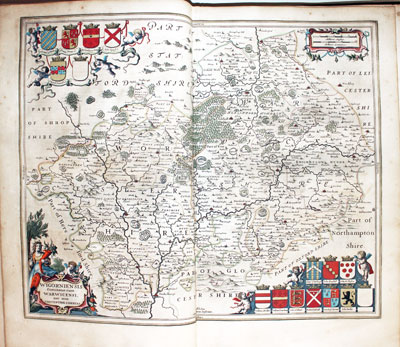
Map of Worcestershire and Warwickshire by Jan Jansson 1647
-

Map of Shropshire and Staffordshire by Jan Jansson 1647
-
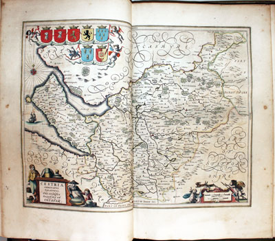
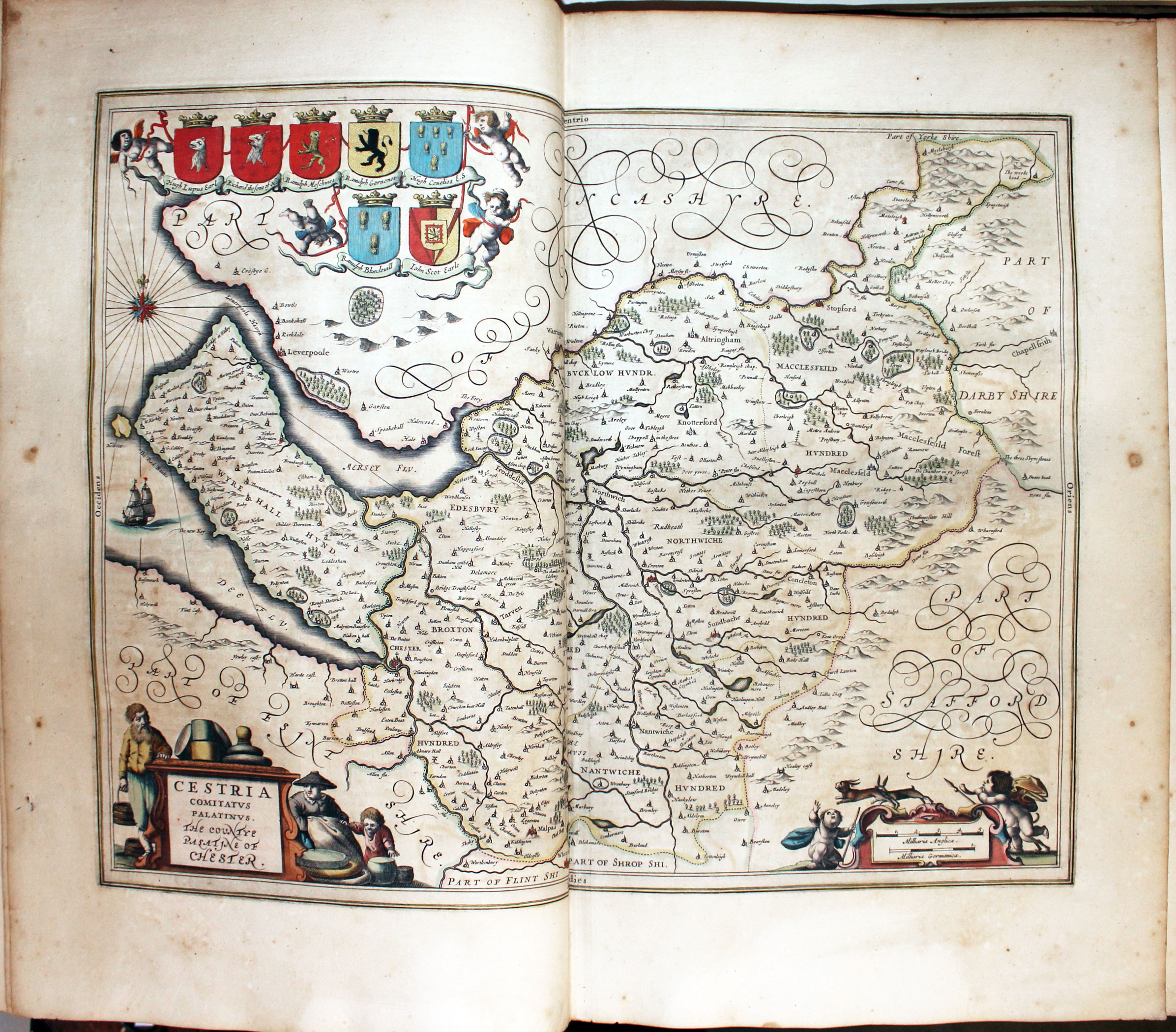
Map of Cheshire by Jan Jansson 1647
-

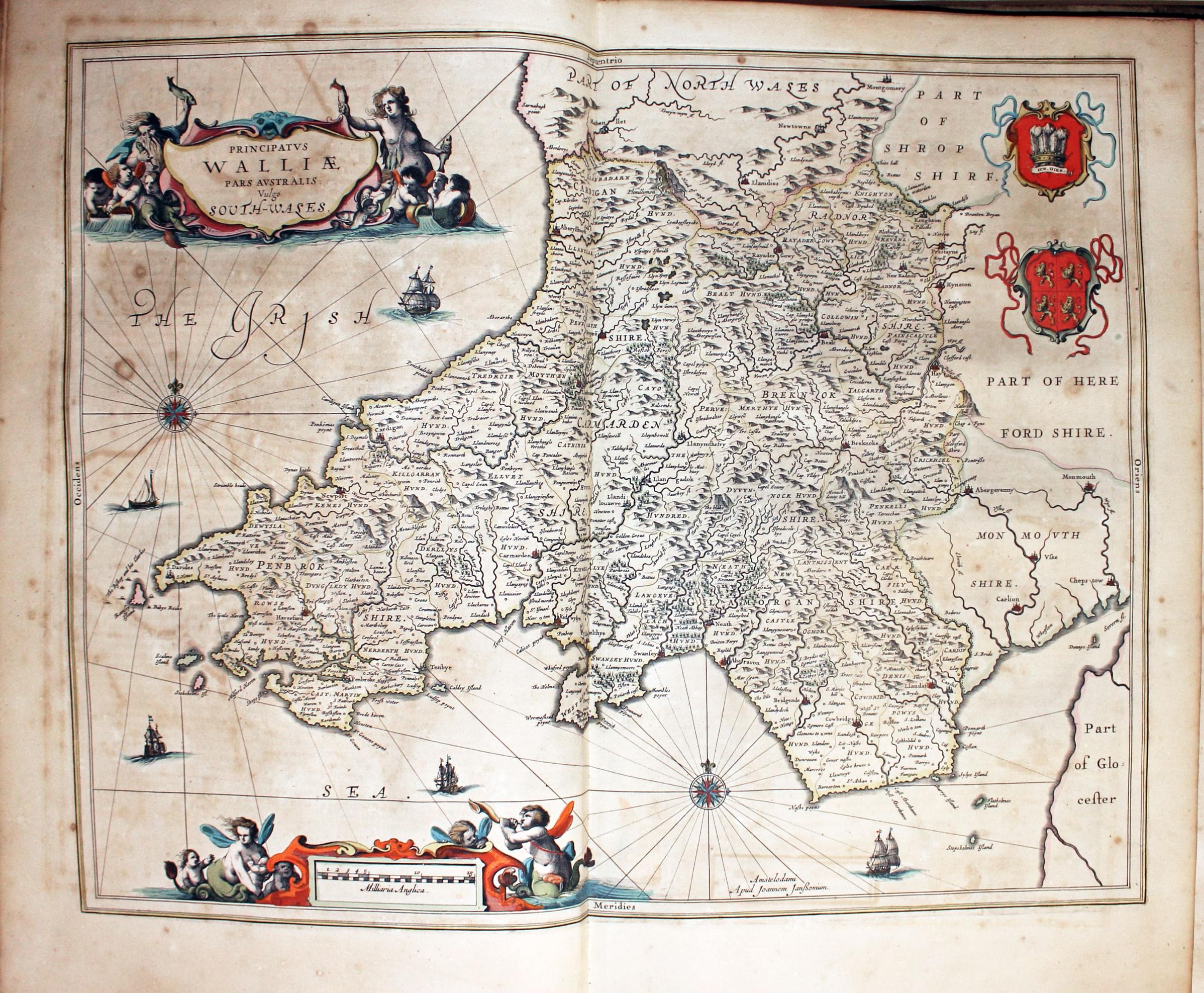
Map of South Wales by Jan Jansson 1647
-

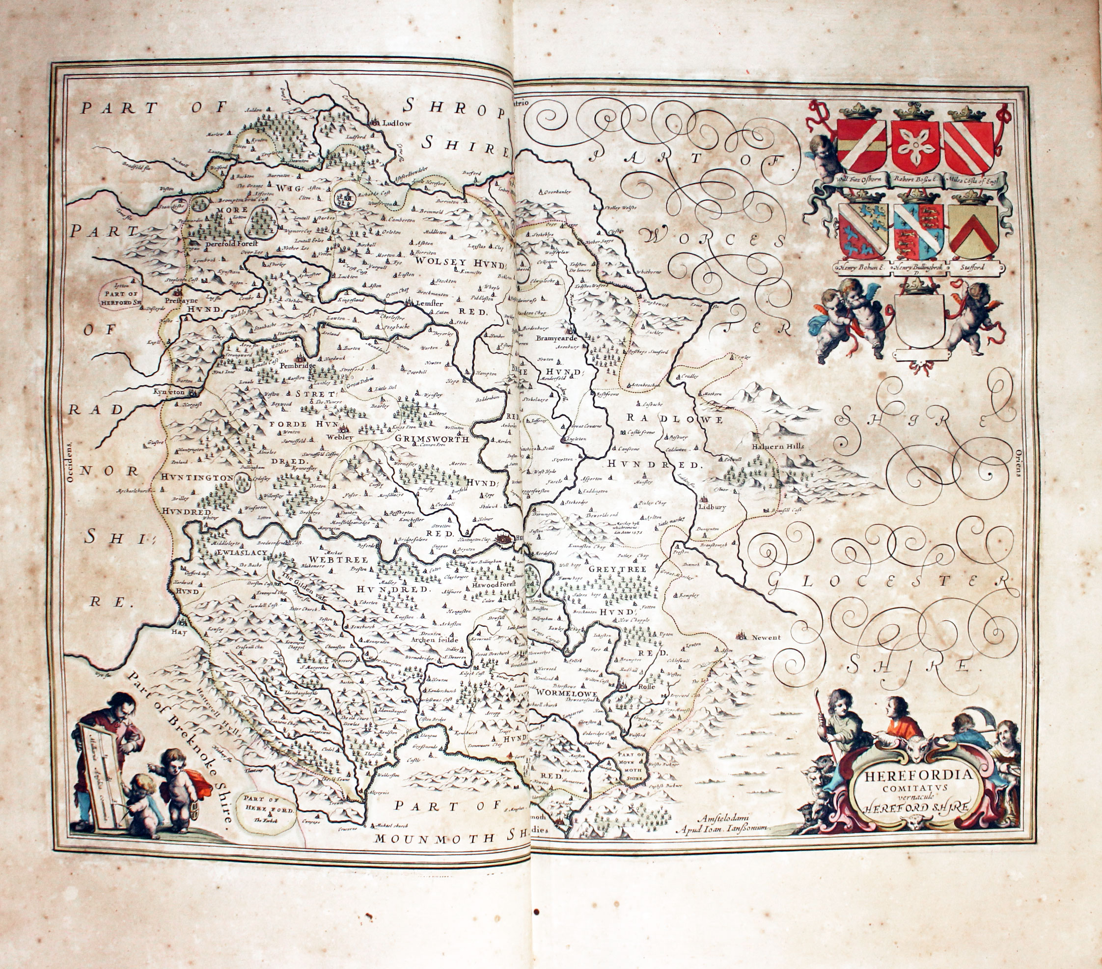
Map of Herfordshire by Jan Jansson 1647
-

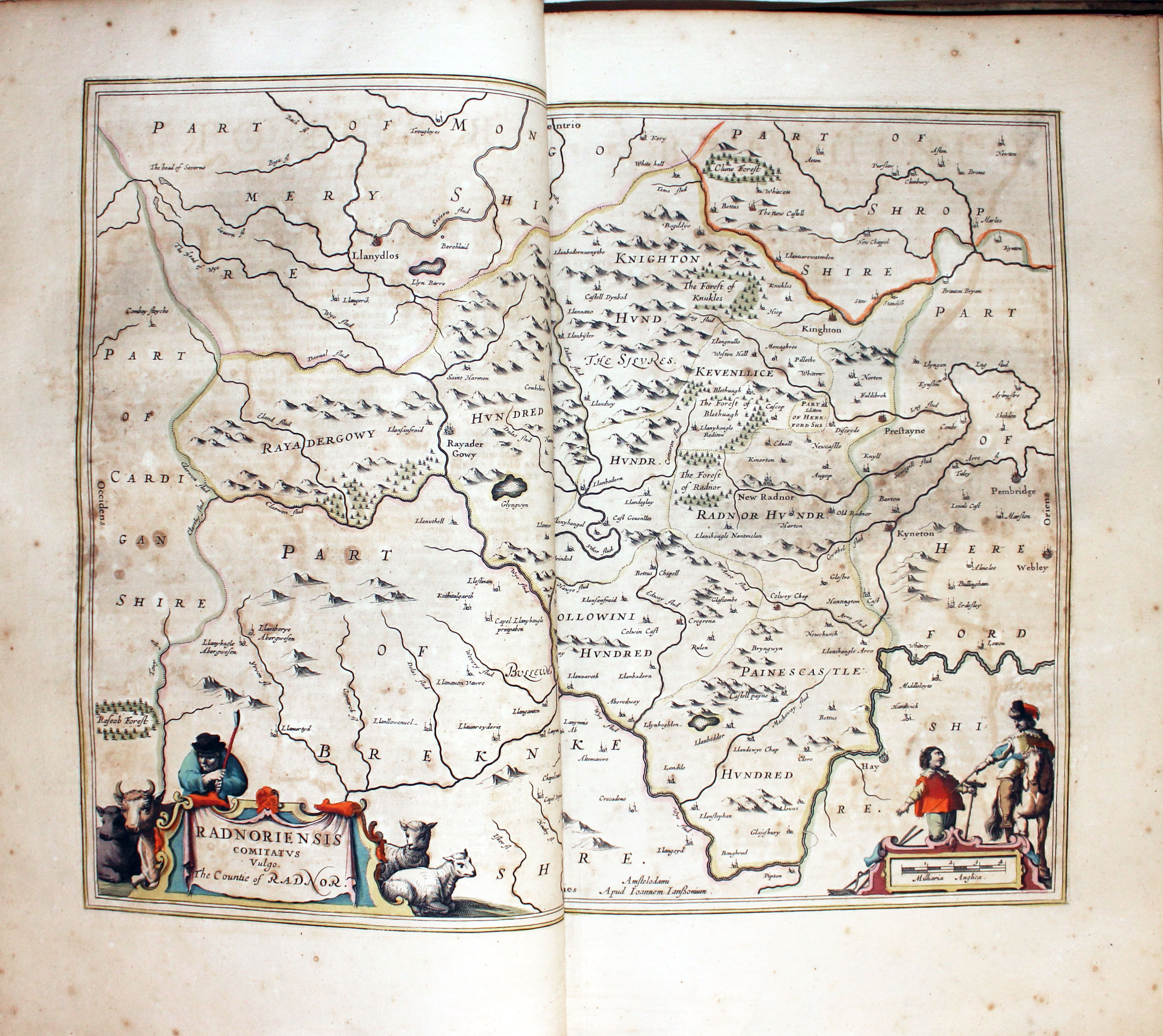
Map of Radnorshire by Jan Jansson 1647
-

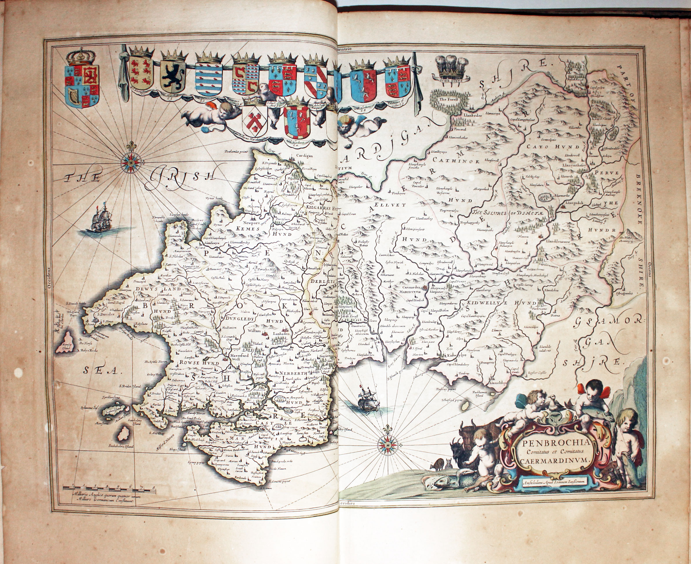
Map of Pembrokeshire and Carmarthenshire by Jan Jansson 1647
-
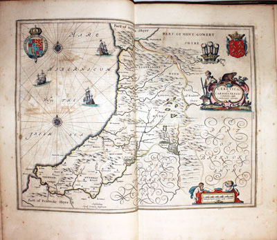
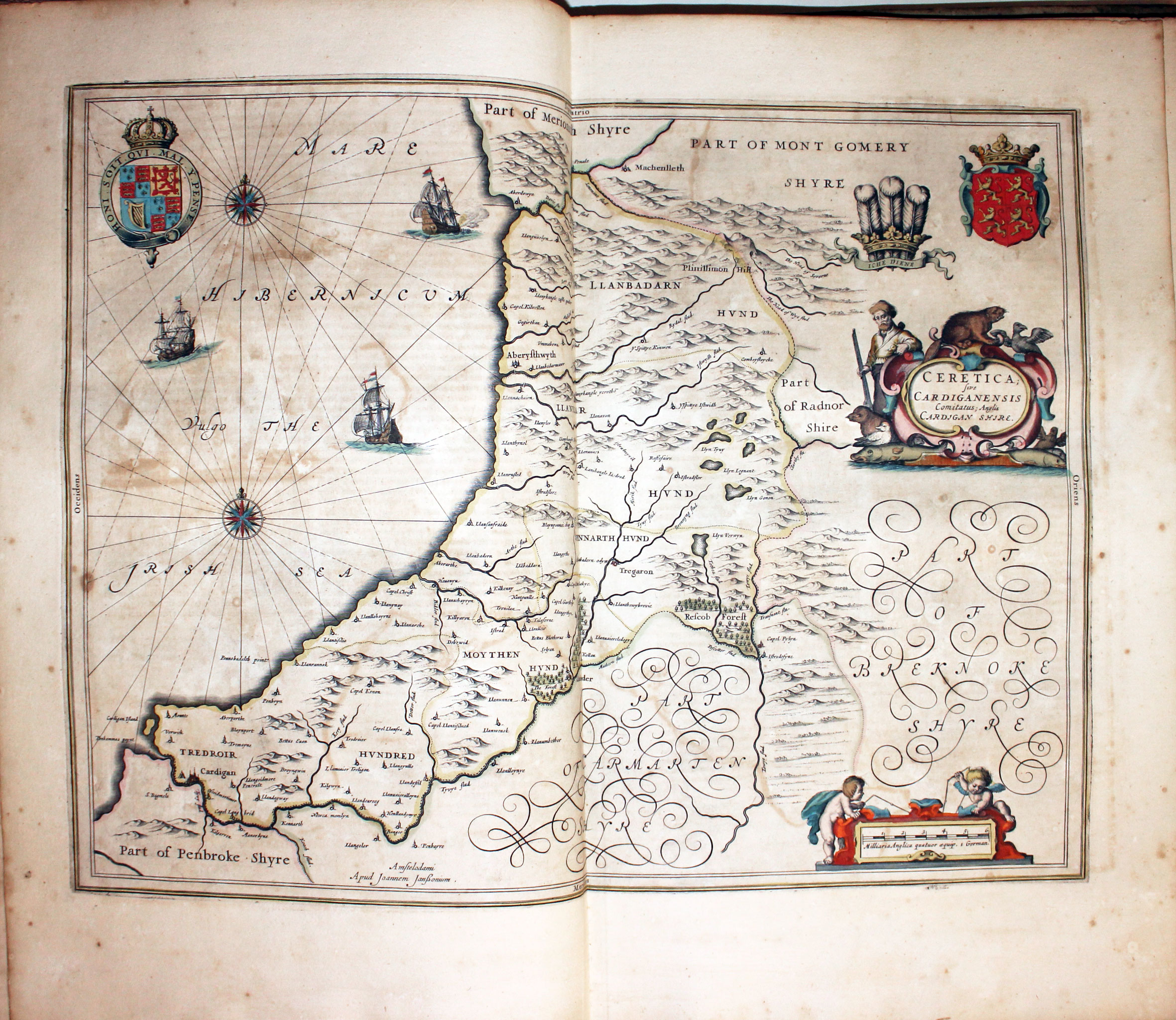
Map of Cardiganshire by Jan Jansson 1647
-
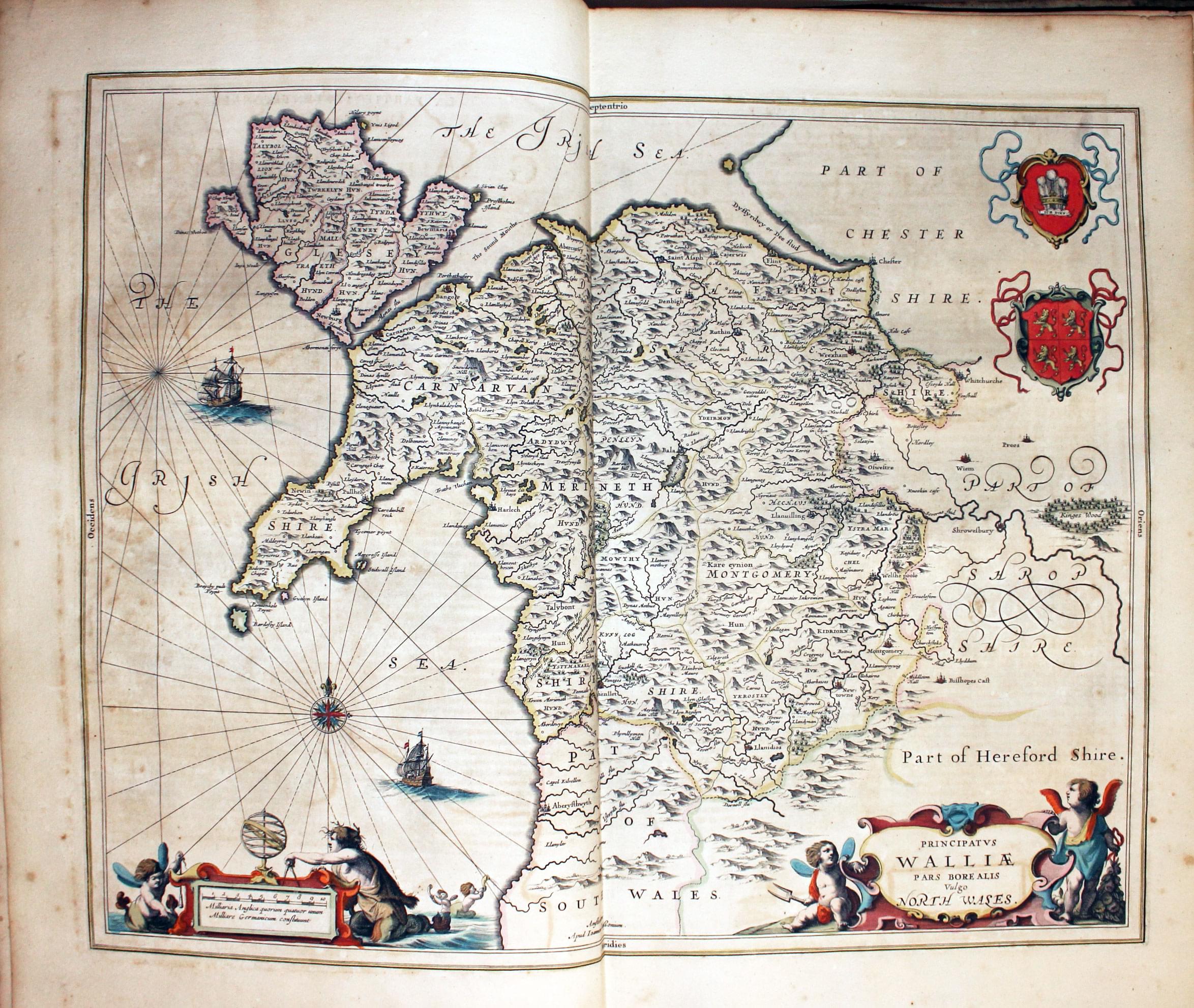
Map of North Wales by Jan Jansson 1647
-
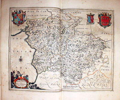
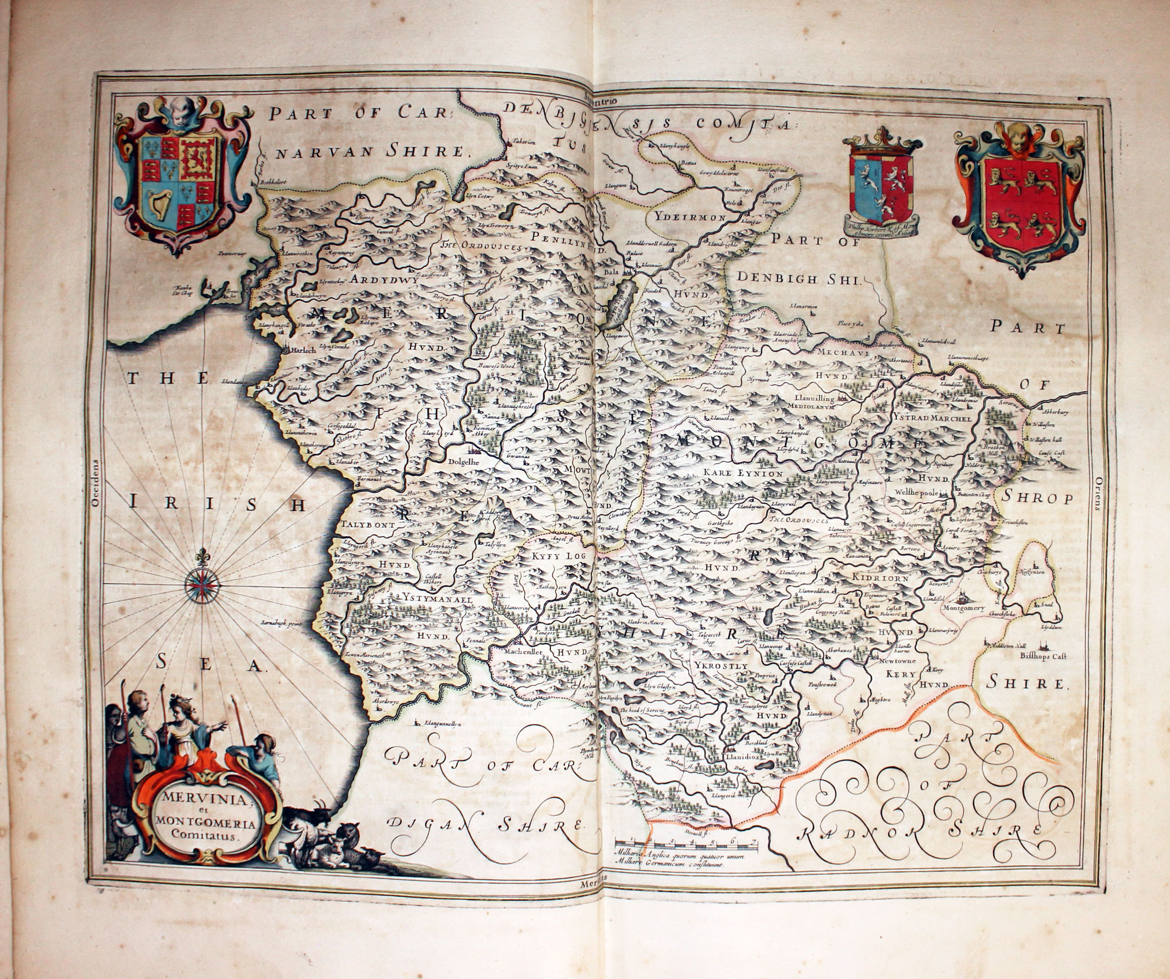
Map of Montgomeryshire and Merionethshire by Jan Jansson 1647
-
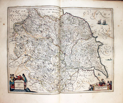
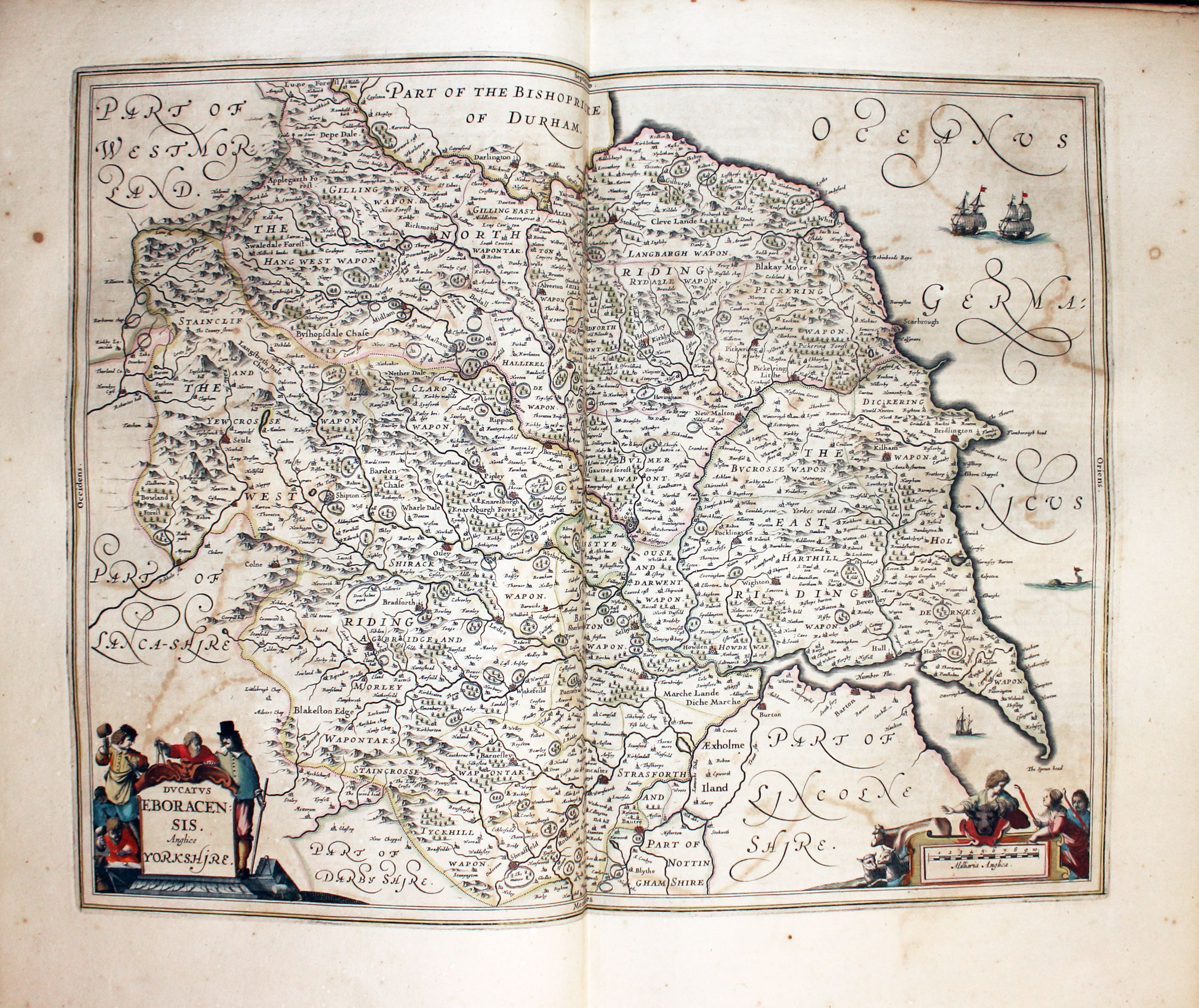
Map of Yorkshire by Jan Jansson 1647
-
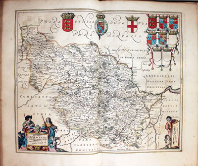
Map of Yorkshire West Riding by Jan Jansson 1647
-
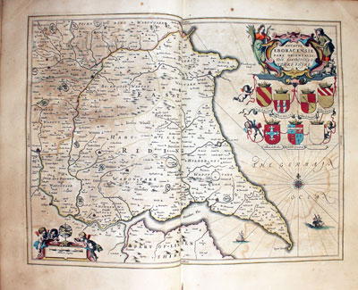
Map of Yorkshire East Riding by Jan Jansson 1647
-
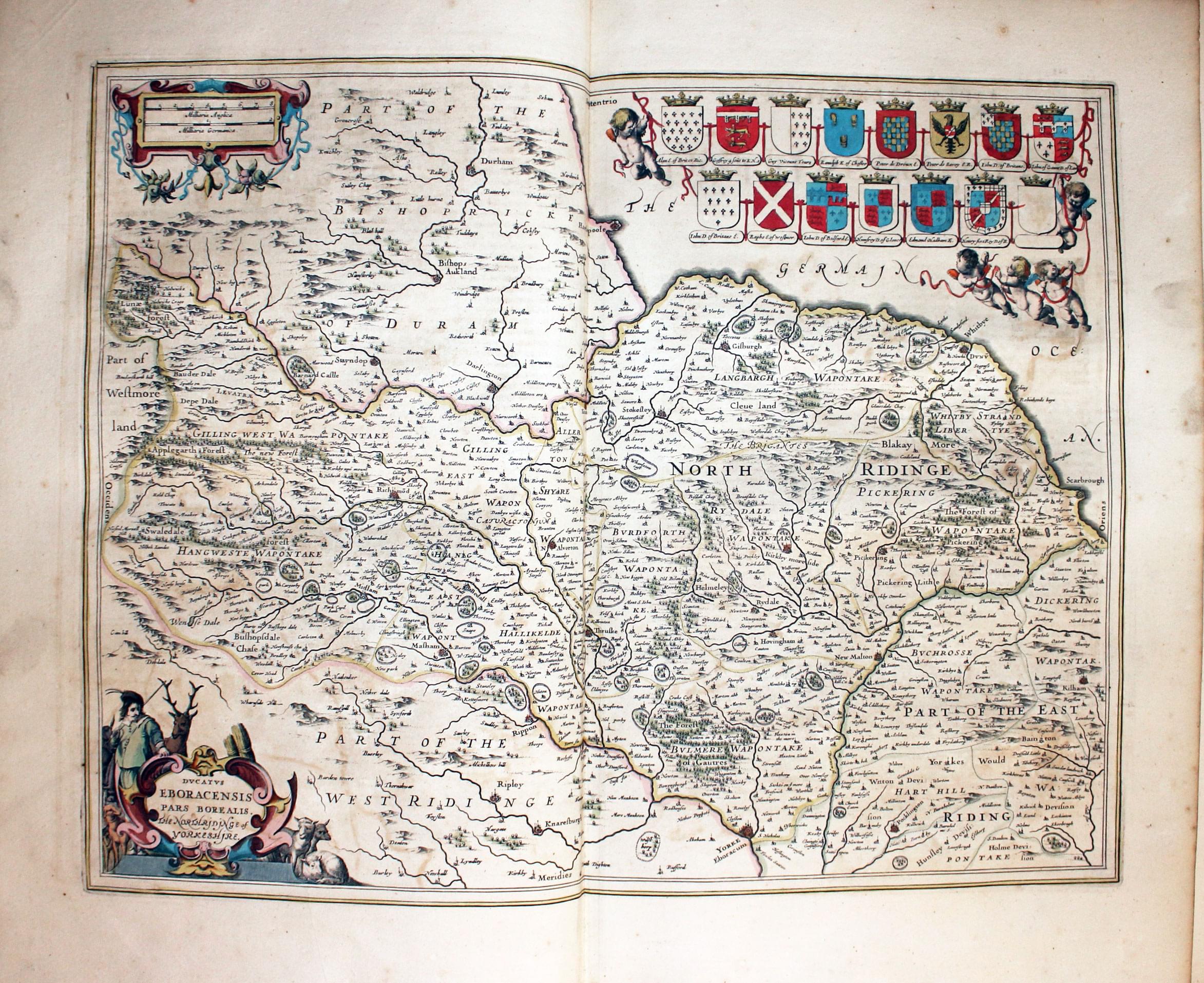
Map of Yorkshire North Riding by Jan Jansson 1647
-

Map of Coumty Durham by Jan Jansson 1647
-
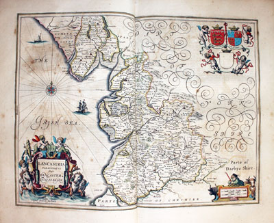
Map of Lancashire by Jan Jansson 1647
-
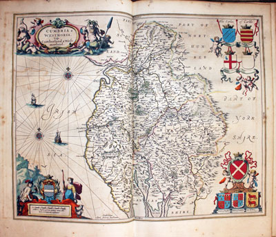
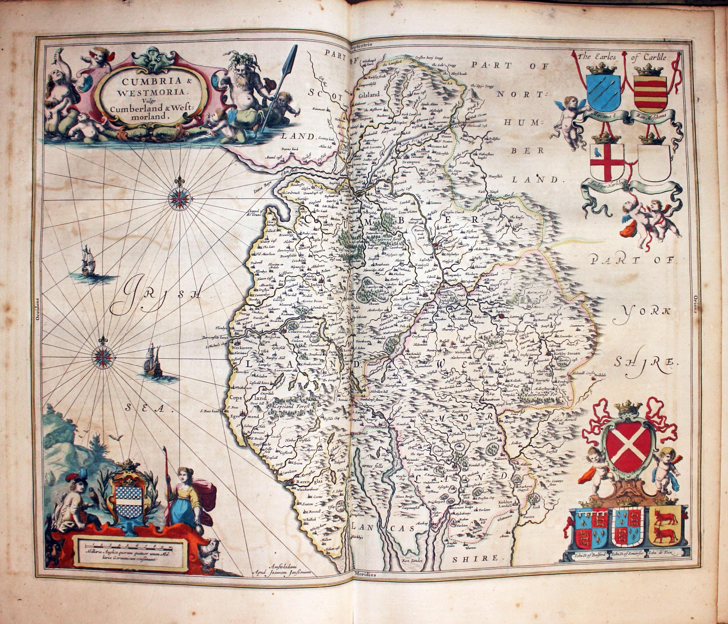
Map of Cumberland and Westmorland by Jan Jansson 1647
-

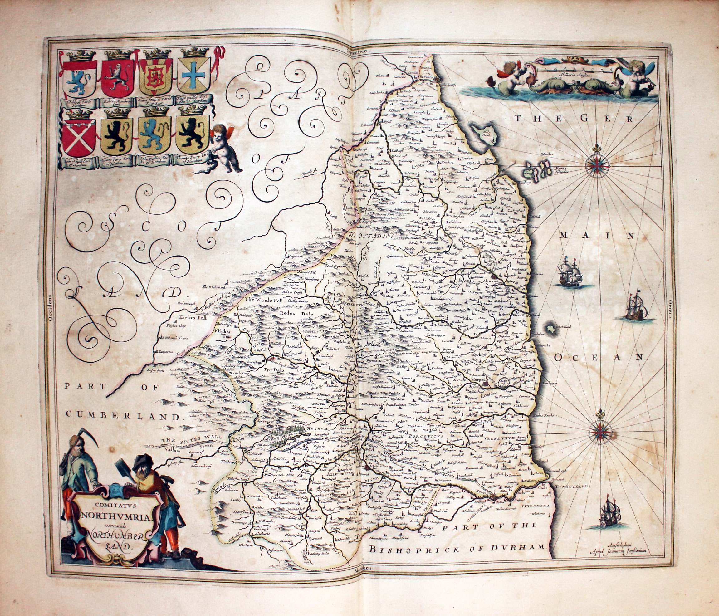
Map of Northumberland by Jan Jansson 1647
-

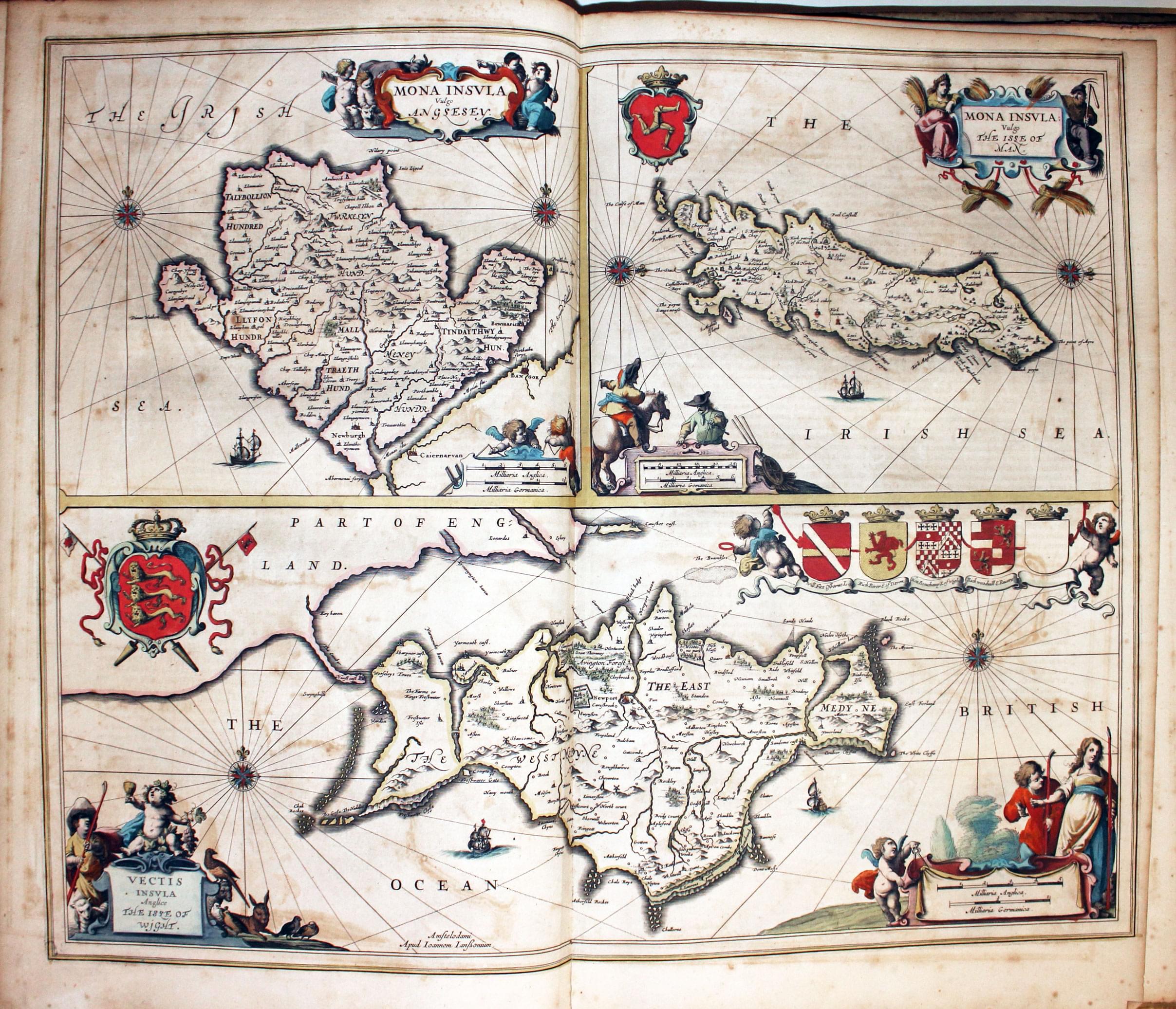
Map of Anglesey, Isle of Man and the Isle of Wight by Jan Jansson 1647
-
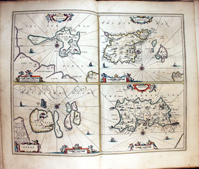
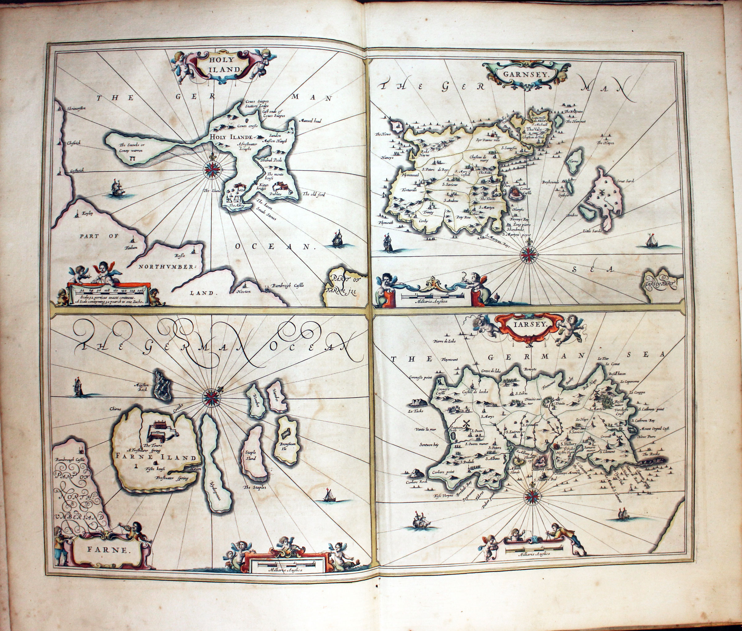
Holy Island, Farne Islands, Jersey and Guernsey
-

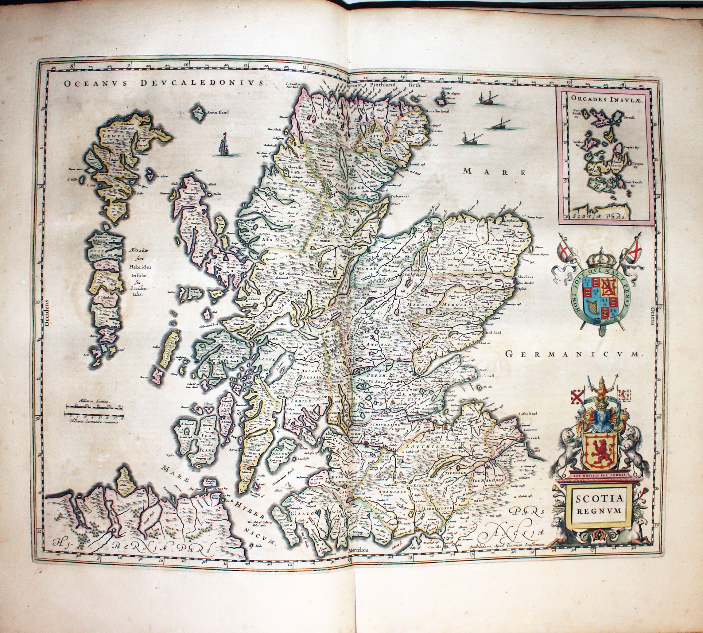
Map of Scotland by Jan Jansson 1647
-
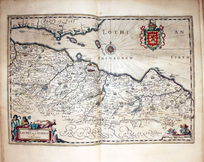
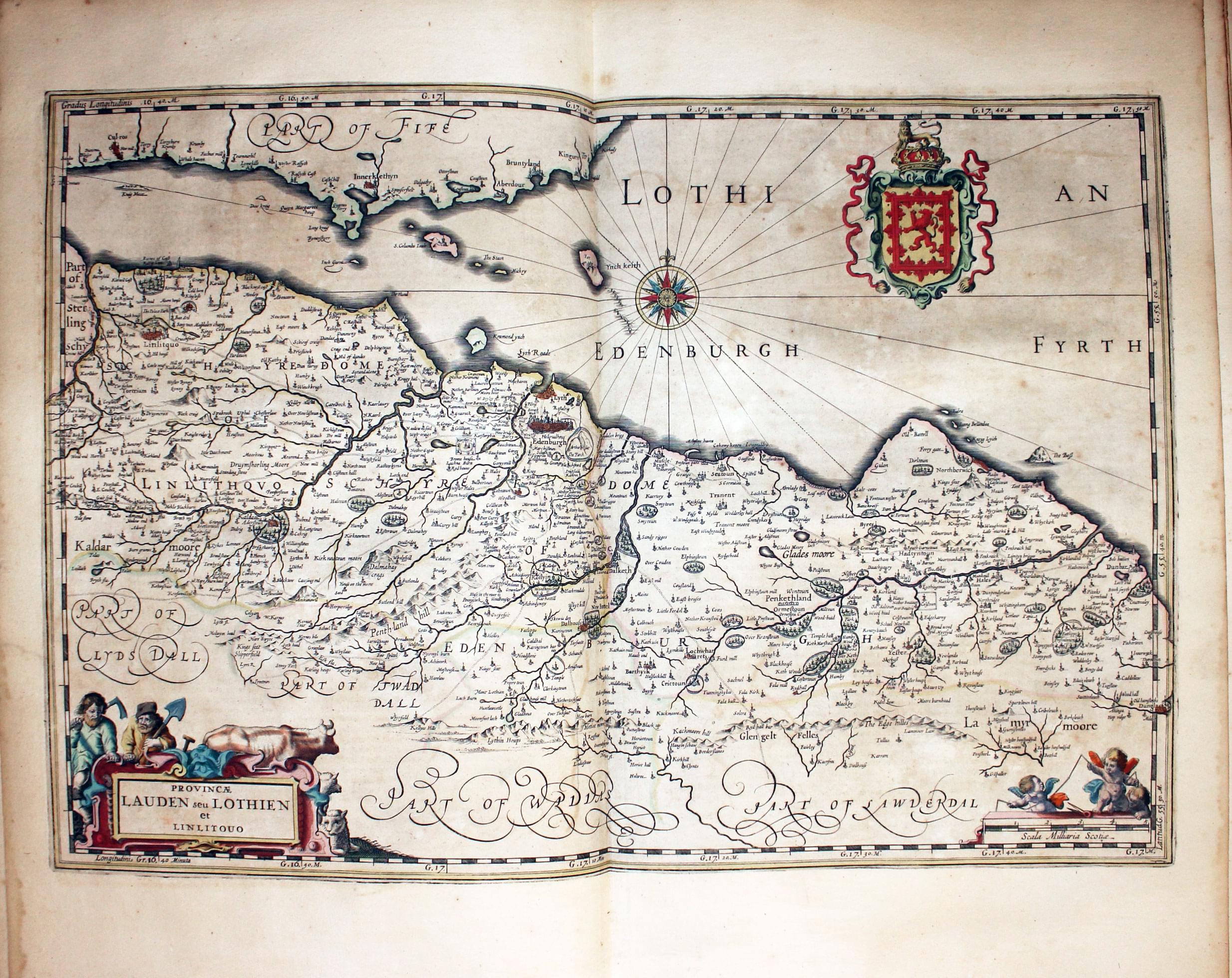
Map of Lothian and Linlithgow by Jan Jansson 1647
-

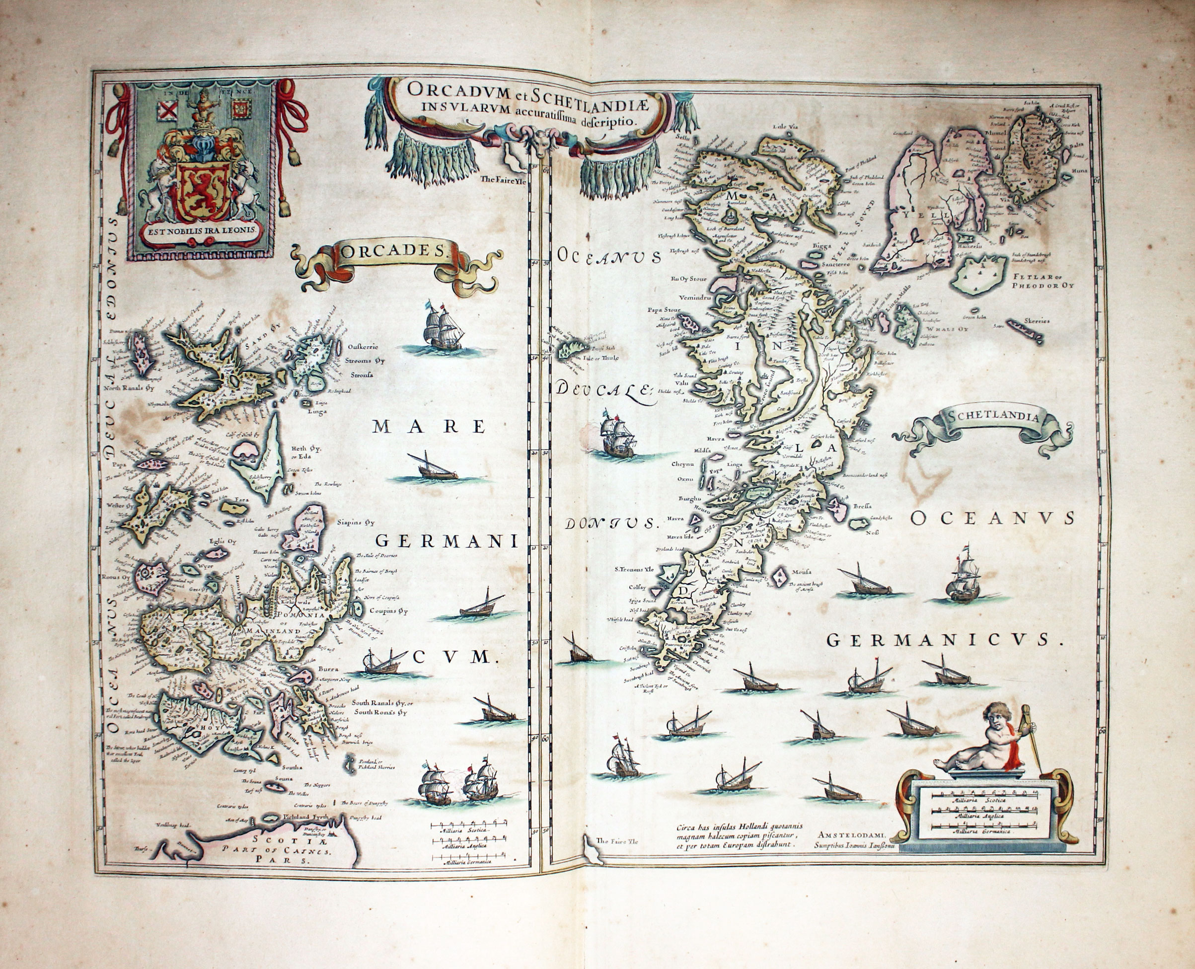
Map of Orkney and Shetland Islands by Jan Jansson 1647
-

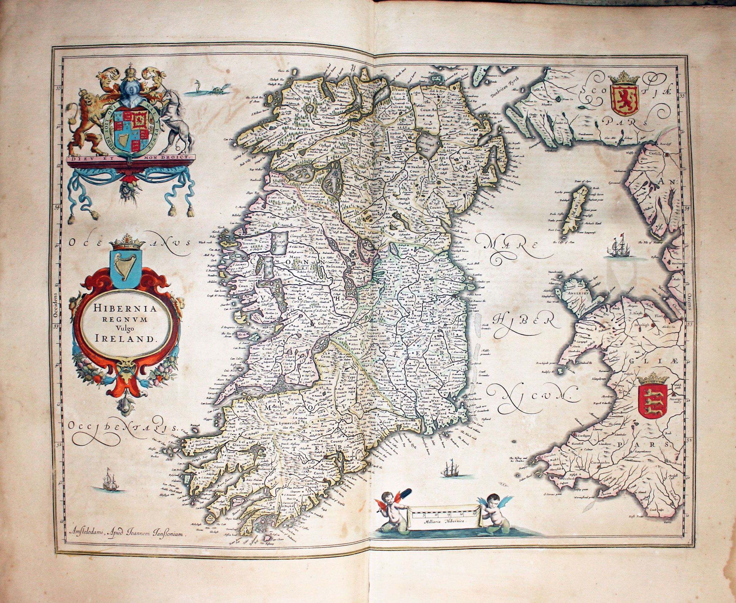
Map of Ireland by Jan Jansson 1647
-
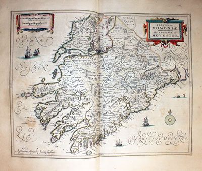
Map of Province of Munster by Jan Jansson 1647
-
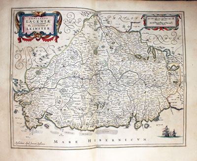
Map of Leinster by Jan Jansson 1647
-

Map of Province of Connaught by Jan Jansson 1647
-

Map of Province of Ulster by Jan Jansson 1647
List of Maps in the Atlas Novus
Early States
You will come across some county maps by Jansson in their early state. Interesting to see these prototypes and how they changed in later editions of the atlas.
-

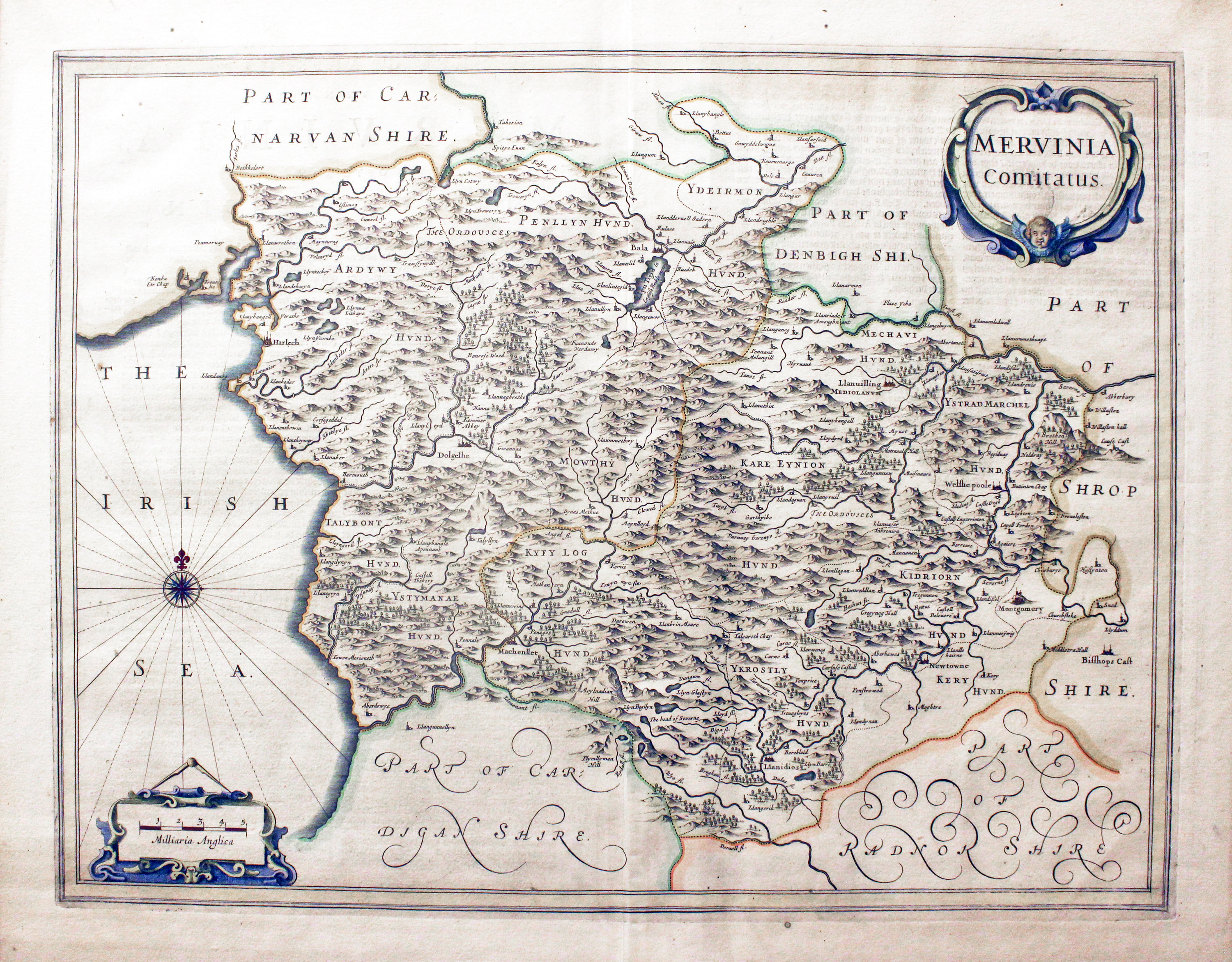
Map of Merionethshire by Jan Jansson 1649
This map of Merionethshire was taken from a copy of Jansson's Nieuwen Atlas that I split many years ago, published in 1649. In later editions of atlases Jansson the county of Merionethshire was portrayed with Montgomeryshire on one folio sheet.
Atlas Frontispieces
-

17th century frontispiece to Jansson's atllas of Germany
-

17th century frontispiece to Jansson's atllas of France and Switzerland
-

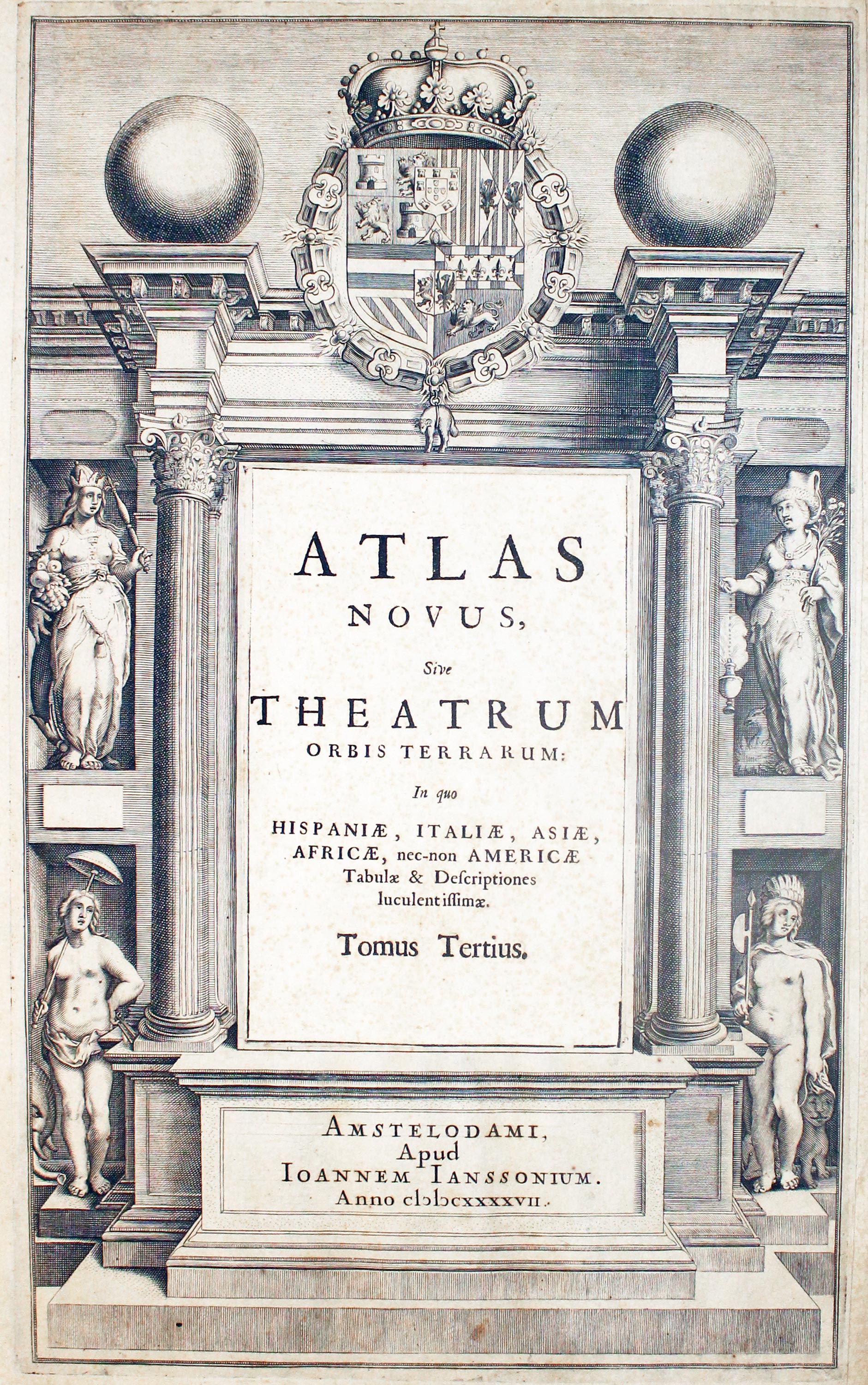
1647 frontispiece to Jansson's atllas of Spain, Italy, Asia, Africa and America
-
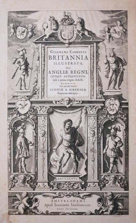
17th century frontispiece to Jansson's atllas of England & Wales 1649
-
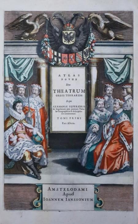
17th century frontispiece to Jansson's atllas of Germany
References:
