RICHARD NICHOLSON of CHESTER
A WORLD OF ANTIQUE MAPS AND PRINTS
The Cartographer
JOHN SELLER
Flourished 1658 - 1697 when he died
Premises at the 'Mariner's Compass' near the Hermitage Staires in Wapping, London
An important name in the history of cartography during the seventeenth century. A prolific maker of maps and charts as well as instruments during three reigns - Charles II, James II and Queen Anne.
He is probably best known for his English Pilot first published in 1671 but this project was later abandoned. Just two of the intended volumes were published.
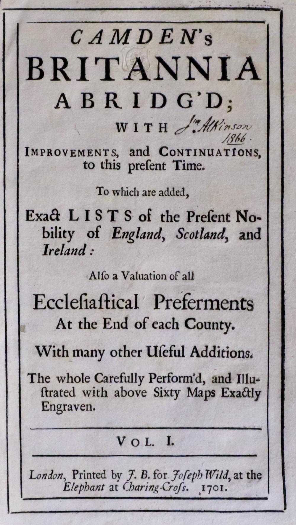
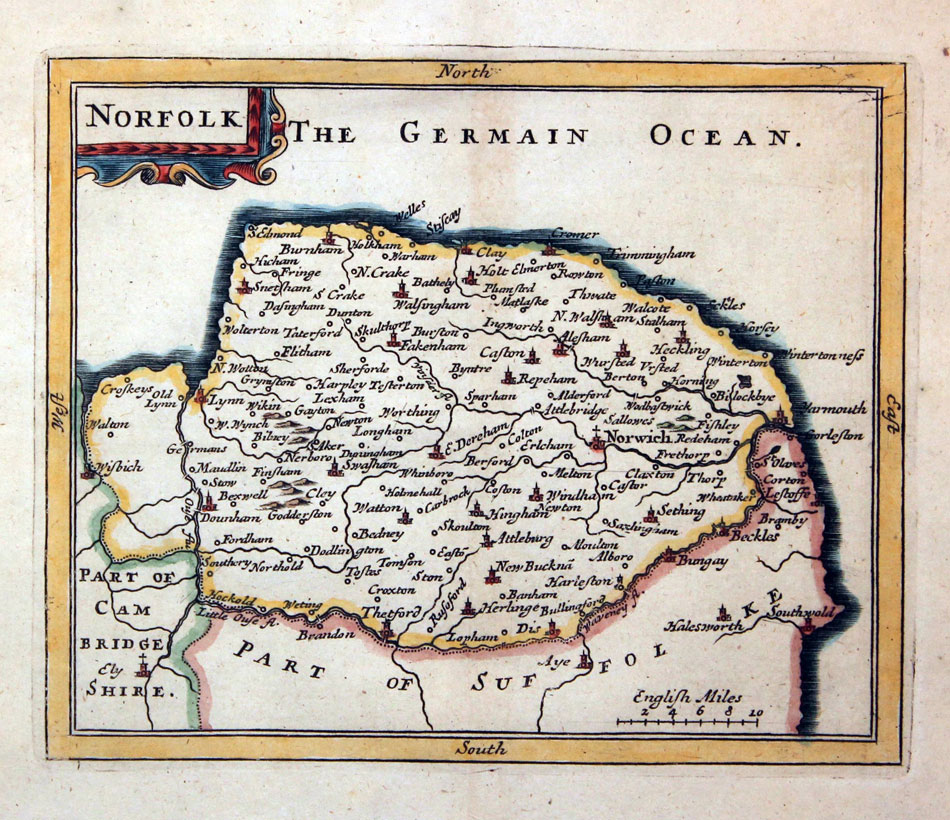
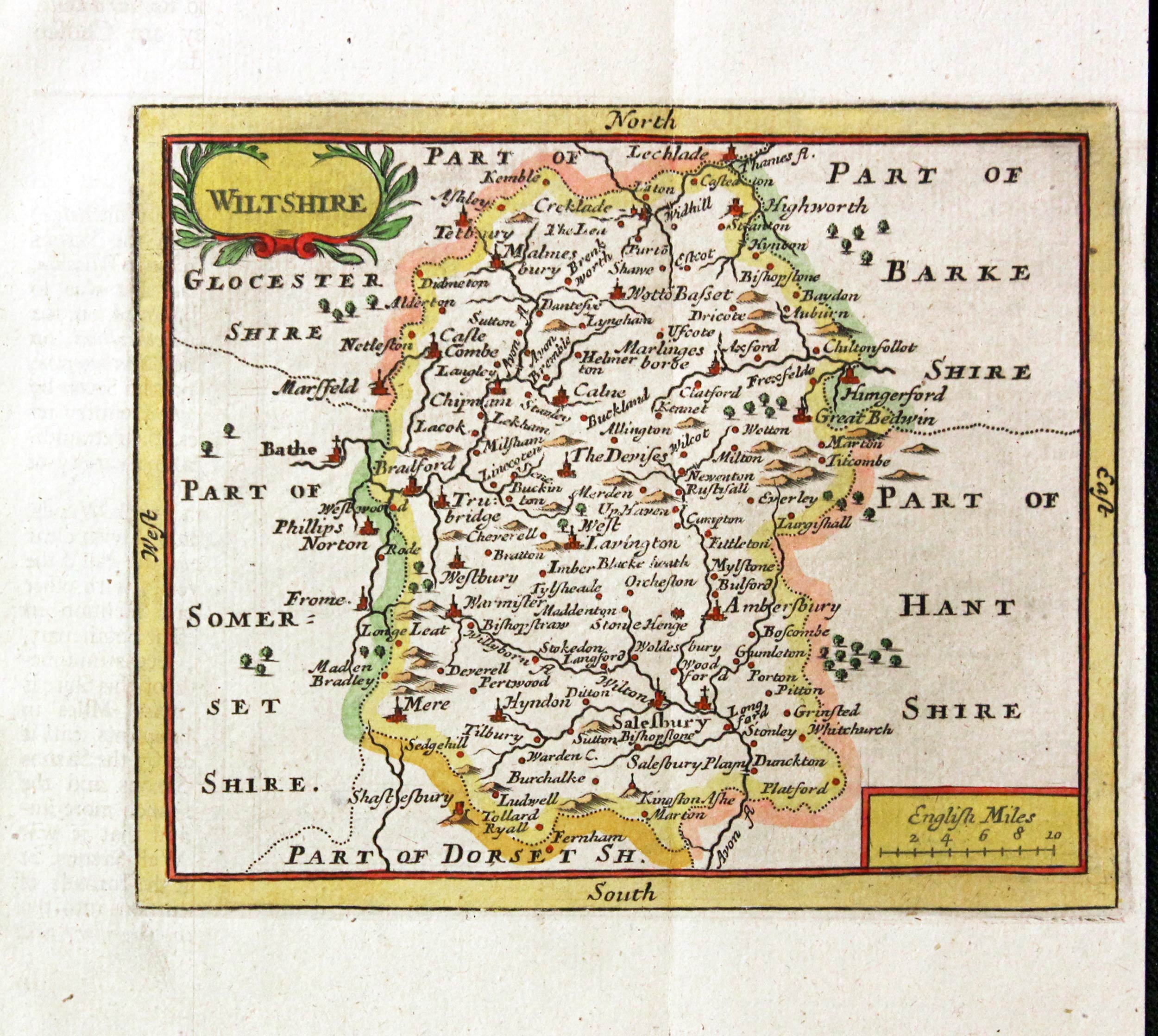
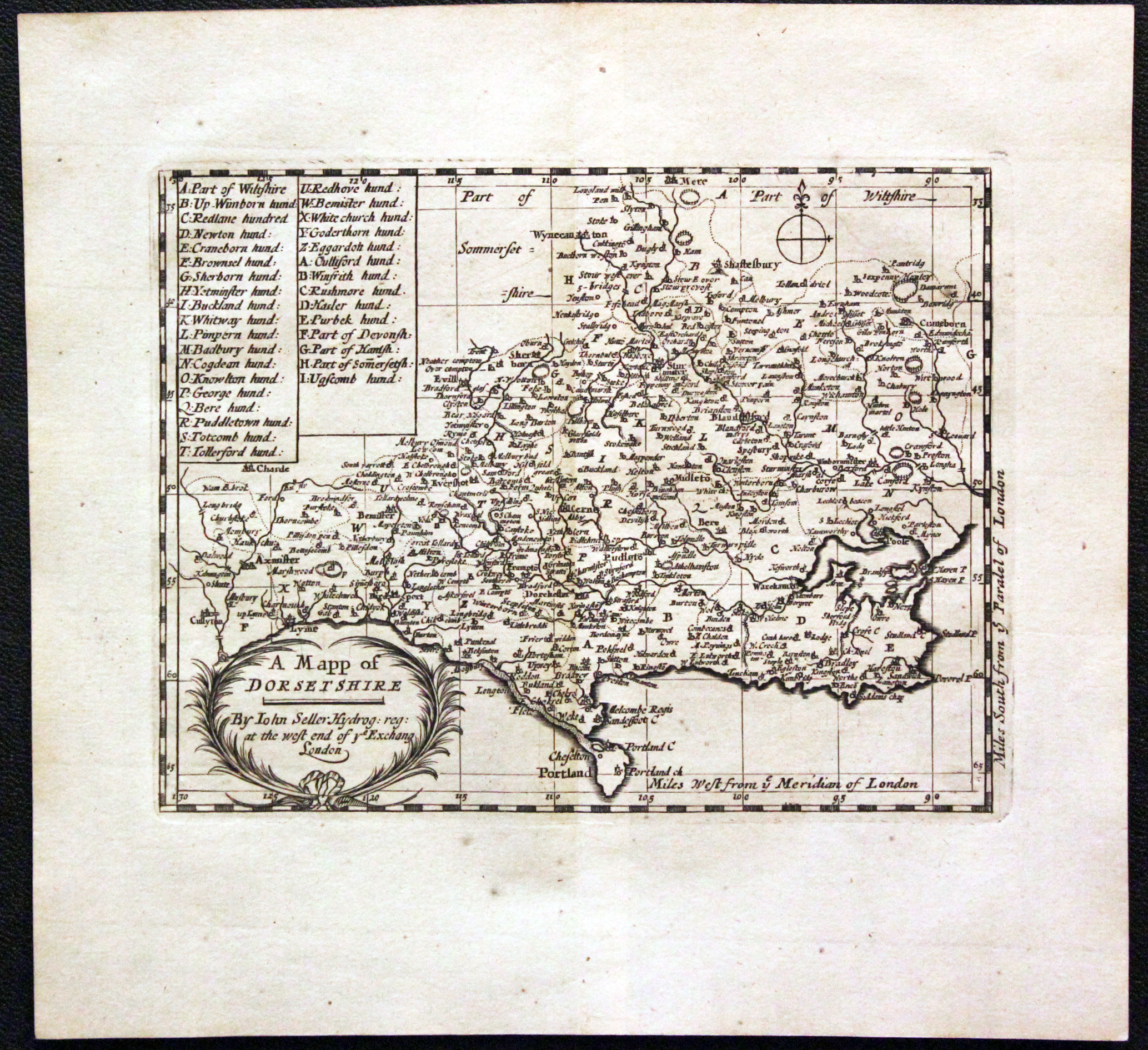
There is a series of county maps for the collector. They first appeared in 1695 in Angia Contracta or A Descripion of the Kingdom of England & Principality of Wales in Several New Mapps of all the Countyes therein contained by John Seller Hydrographer to the King. 8vo This is a delightful series of small maps most of which show the name of John Seller. The maps appear again in 1701 in Camden's Britannia Abridg'd 8vo. Amnd again two years later in 1703 in The History of England, Printed for J. Marshall, at the Bible in Grace-Church-Street, 8vo. There were three editions of this work.
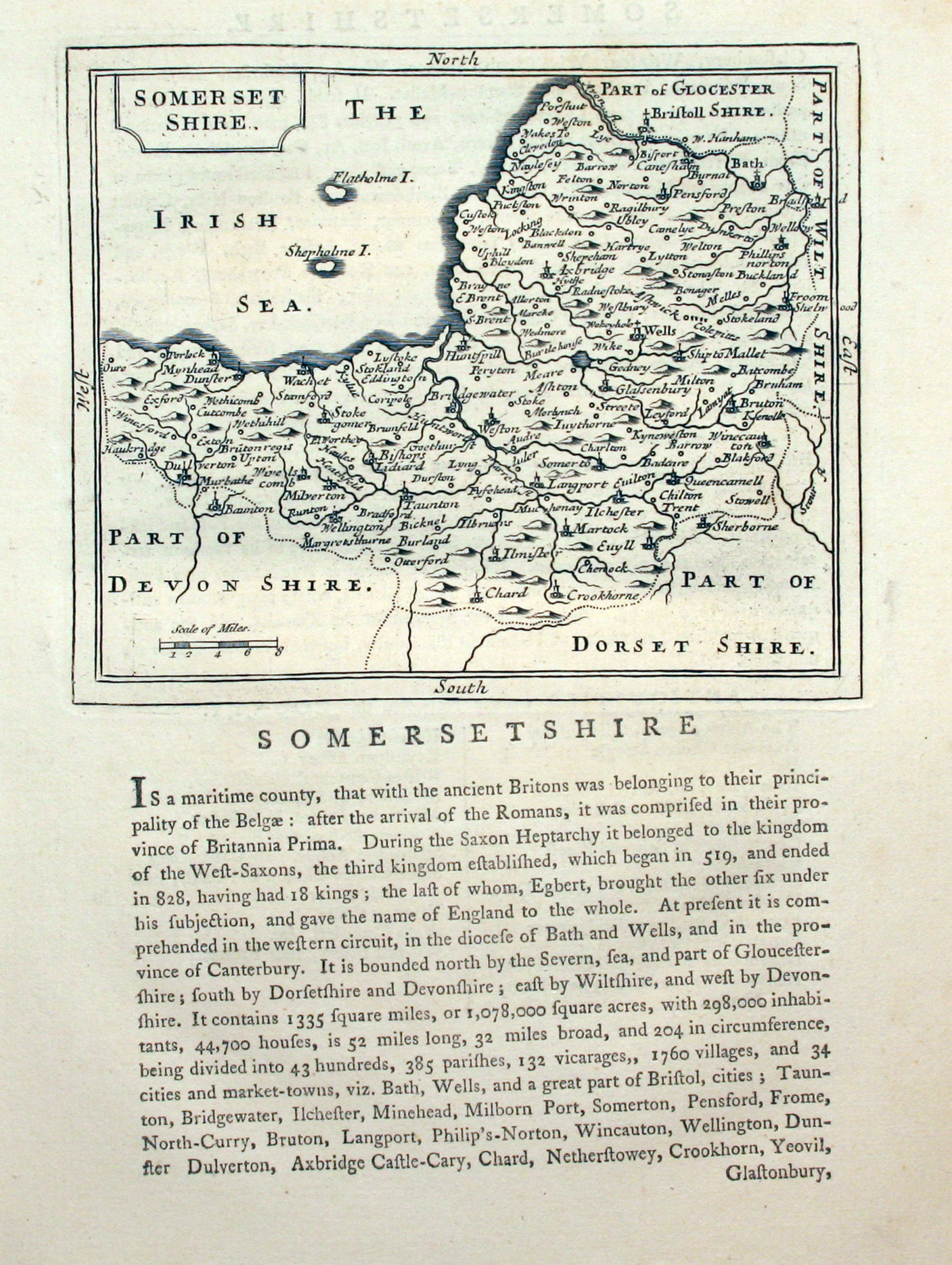
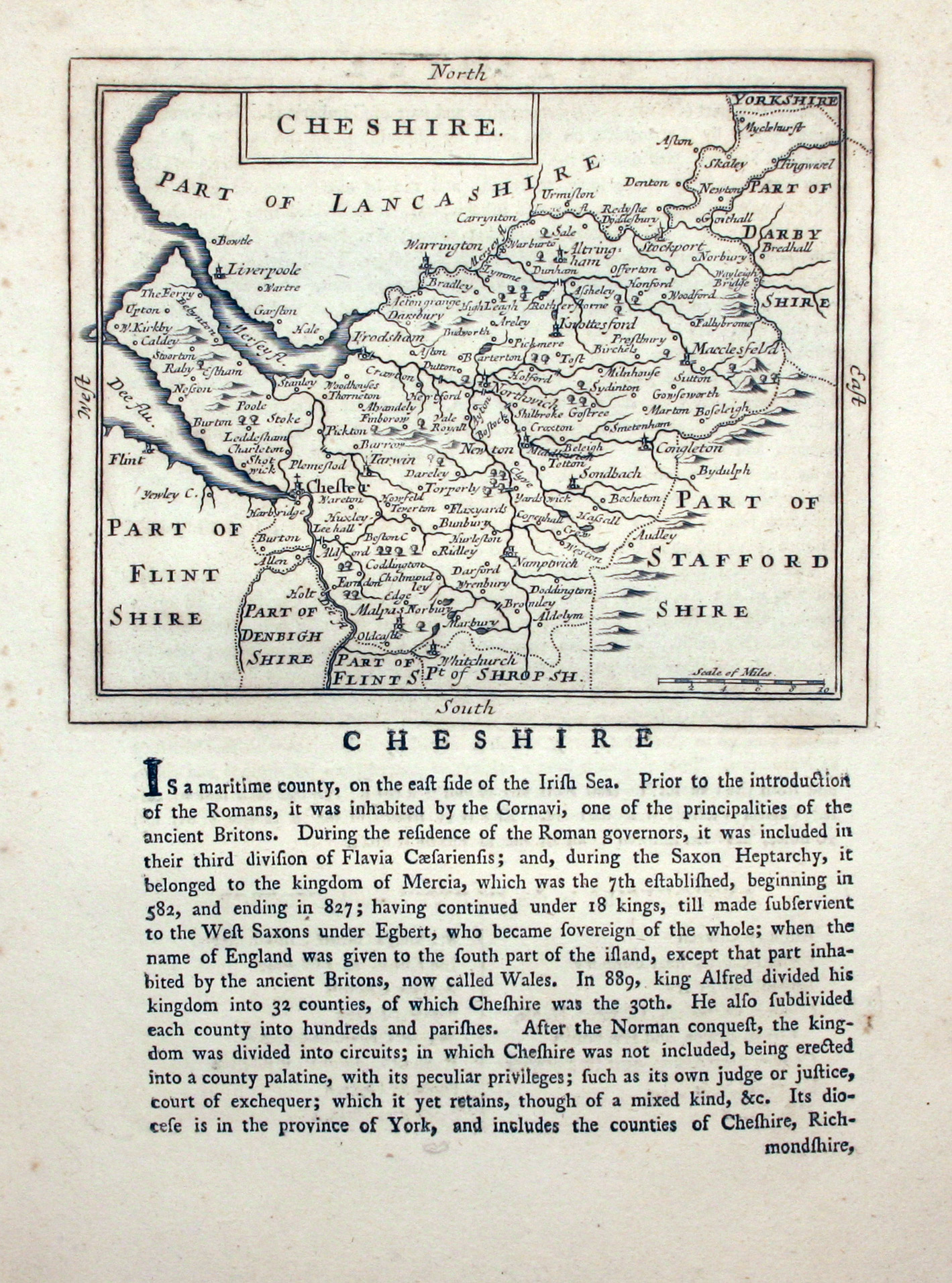
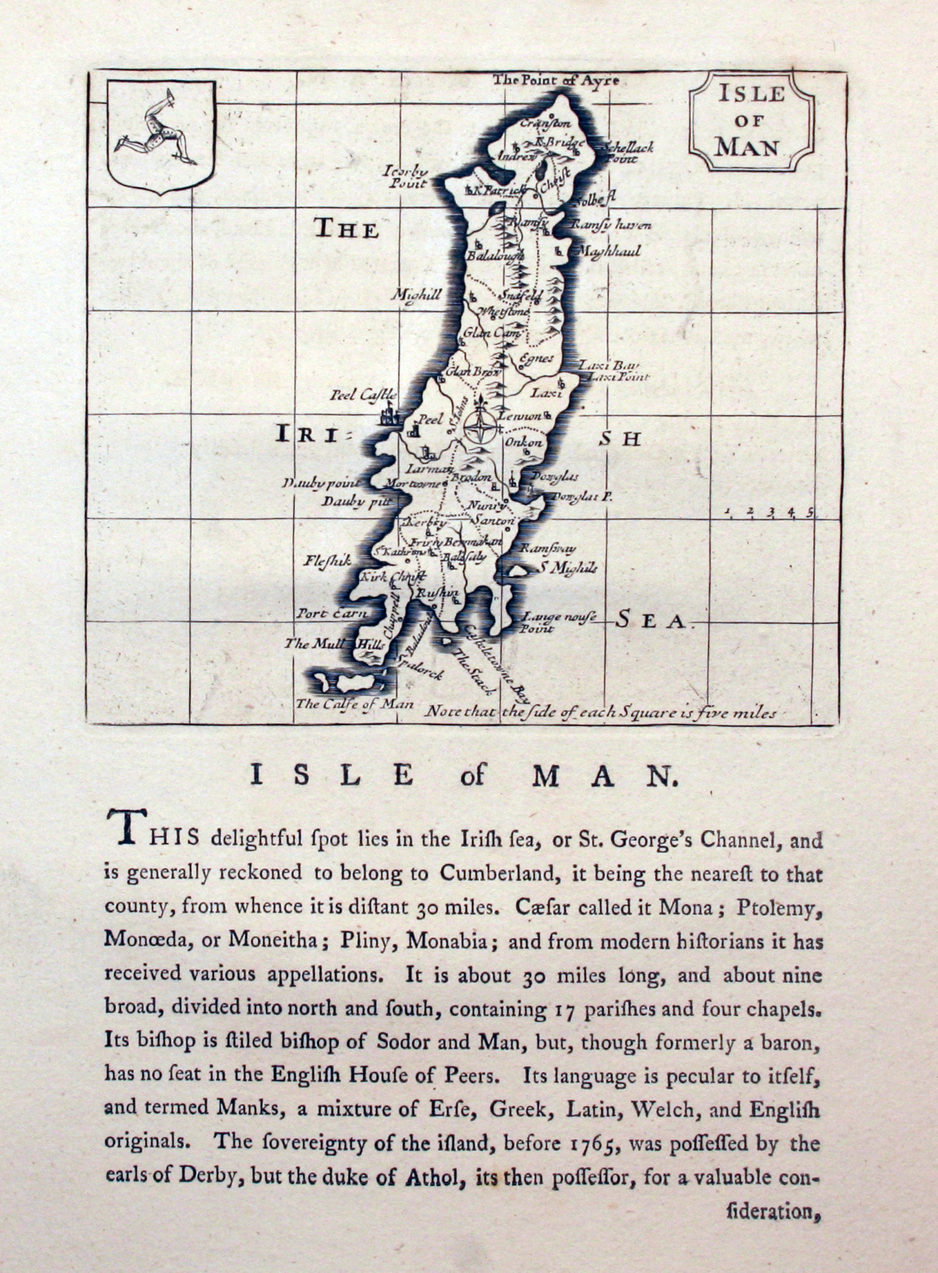
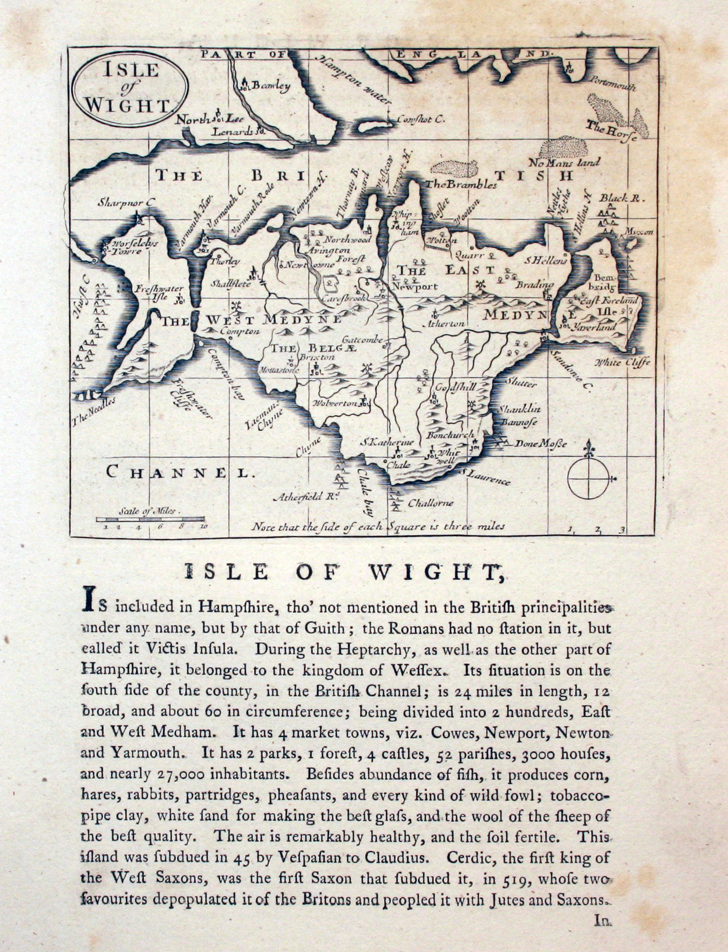
One would expect not to see these maps again but low and behold some 70 plus years later the plates were used were used in his four voloumes of Suplement to the Antiquities of England and Wales, small folio, published from 1777 to 1787. The maps can be easily identified as they take up just the top half of a page. Beneath each map is a historical description of the county. The name of Seller has been removed and the decorative title cartouches replaced with a panel.
Atlas Title Pages & Pages
-
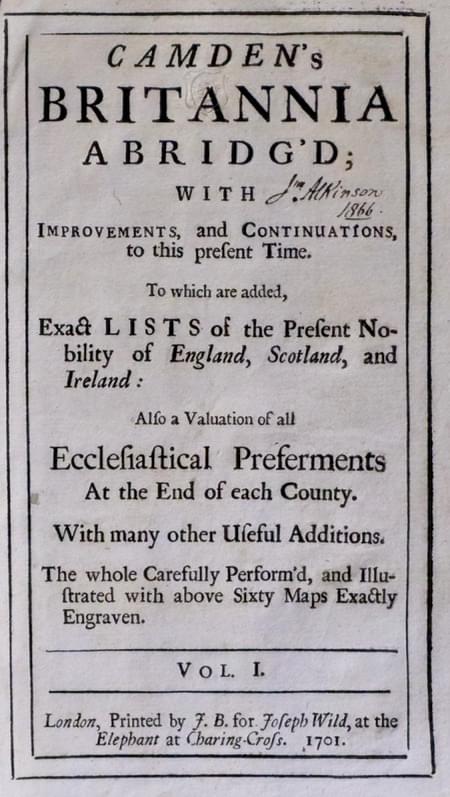
Title page to Camden'd Britannia 1701 with John Seller maps
Map Gallery
The Early Editions
-
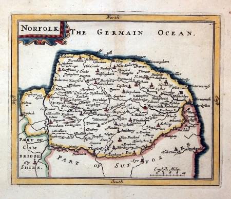
Norfolk, John Seller 1701
-
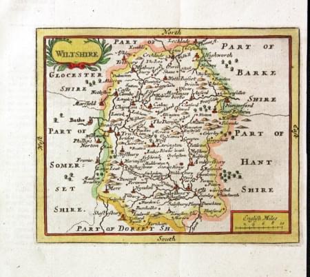
Wiltshire, John Seller 1701
-
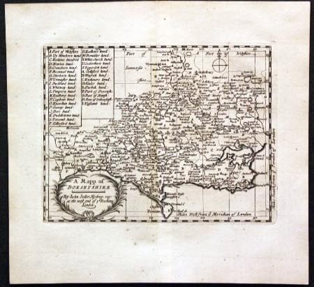
Dorsetshire, John Seller 1701
Later Edition from Grose's Antiquities, 177 - 1787
-
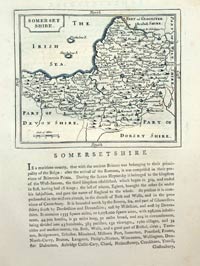
Somersetshire by John Seller c.1787
-
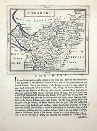
Cheshire by John Seller c.1787
-

Isle of Man by John Seller, c.1787
-
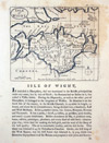
Isle of Wight by John Seller, c.1787
-

Map of Flintshire by John Seller, c.1787
