Antique Maps of Middlesex
Richard Nicholson of Chester
A WORLD OF ANTIQUE MAPS AND PRINTS
Established in 1961
All the Maps on this page are guaranteed to be genuine early specimens
published in or around the year stated
19th Century Map - Early Hand Colouring
-
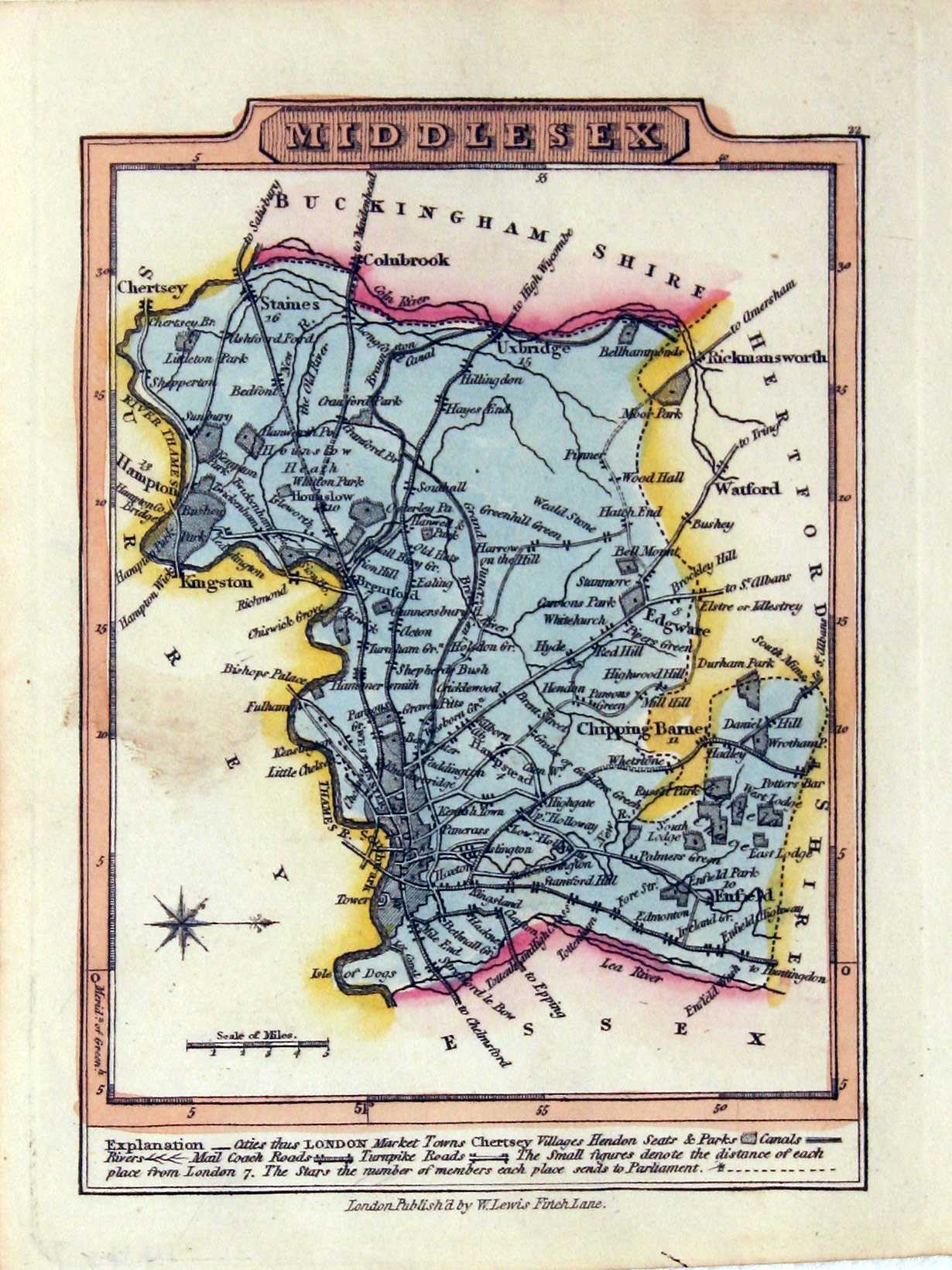
Middlesex J. Wallis / W. Lewis, 1819
-

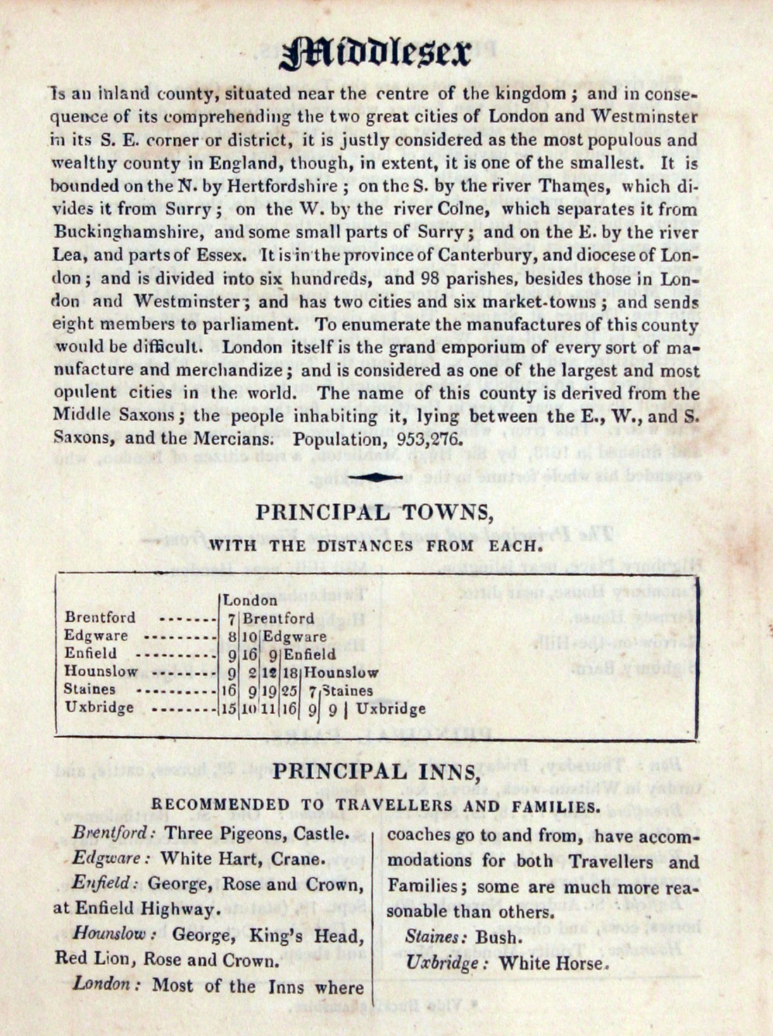
Text for Middlesex J. Wallis / W. Lewis, 1819

14457 Middlesex, J. Wallis / W. Lewis, 1819. Price: 27.00
MIDDLESEX
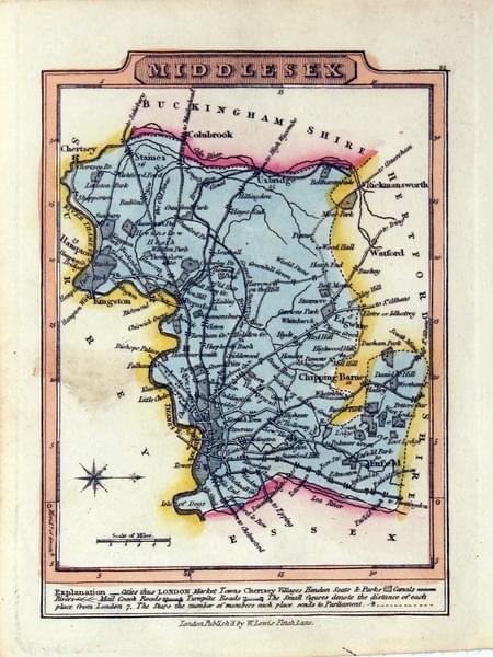
A small engraved county map with short description beneath. 3.37 x 4.75 inches. Original outline and wash colouring. Good condition. With original page of descriptive text giving details of the county, towns, inns, rivers and fairs.
First published by James Wallis this map comes from William Lewis' New Traveller's Guide
19th Century Map with Text - Early Hand Colouring
-

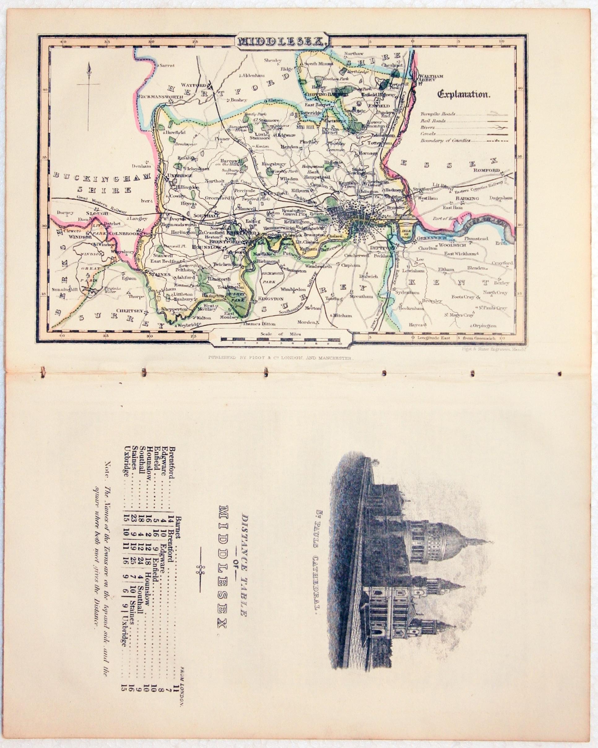
Middlesex, James Pigot, c.1835

24975 Middlesex, James Pigot, c.1835. Price: 38.00
MIDDLESEX
An engraved county map with early outline hand colouring. 4 x 6 1/2 inches. Still lightly bound on edges with the Distance Table page on which there is an uncoloured vignette view of St. Pauls Cathedral plus pages of descriptive text. Good condition.
From: A Pocket Topography and Gazetteer of England
18th Century Middlesex - County and Road Map
-

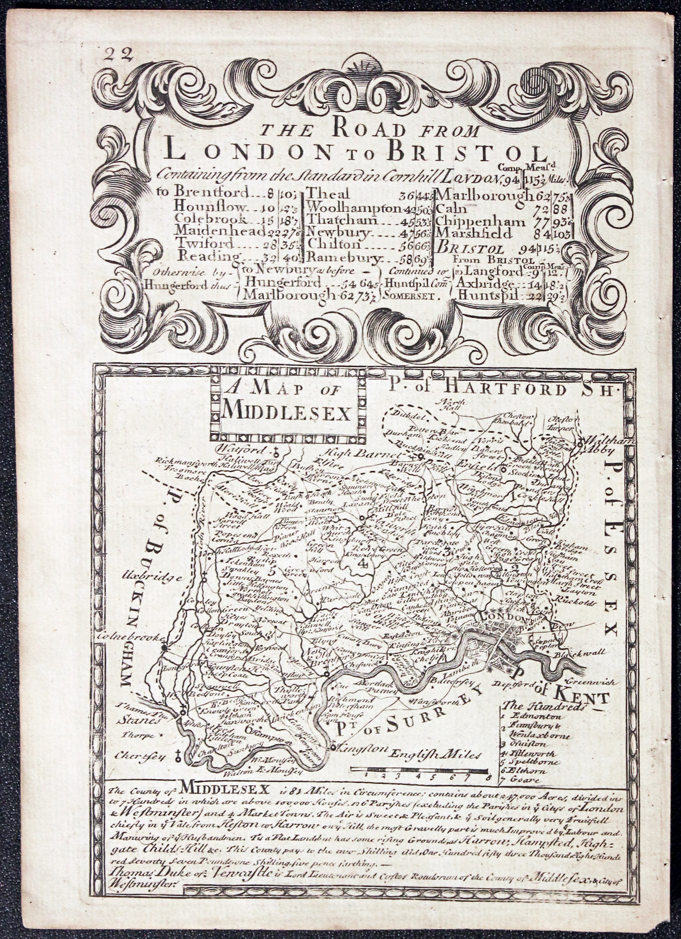
Middlesex, John Owen and Emanuel Bowen
-

Road Map Alnwick to Berwick, John Owen and Emanuel Bowen

25916 Middlesex, John Owen and Emanuel Bowen, c.1730. Price: 36.00
A MAP OF MIDDLESEX
An engraved county map with title panel, list of hundreds and description beneath. The map is surmounted by a baroque cartouche titled The Road from London to Bristol. Strip road map on verso showing the route from Alnwick in Northumberland to Berwick embellished with two coats of arms and engraved notes. 4 x 7 1/2 inches. Uncoloured on both sides. Very lightly toned. Tiny piece from bottom right hand blank margin corner missing otherwise good condition.
From: Britannia Depicta
19th Century Middlesex Map
-

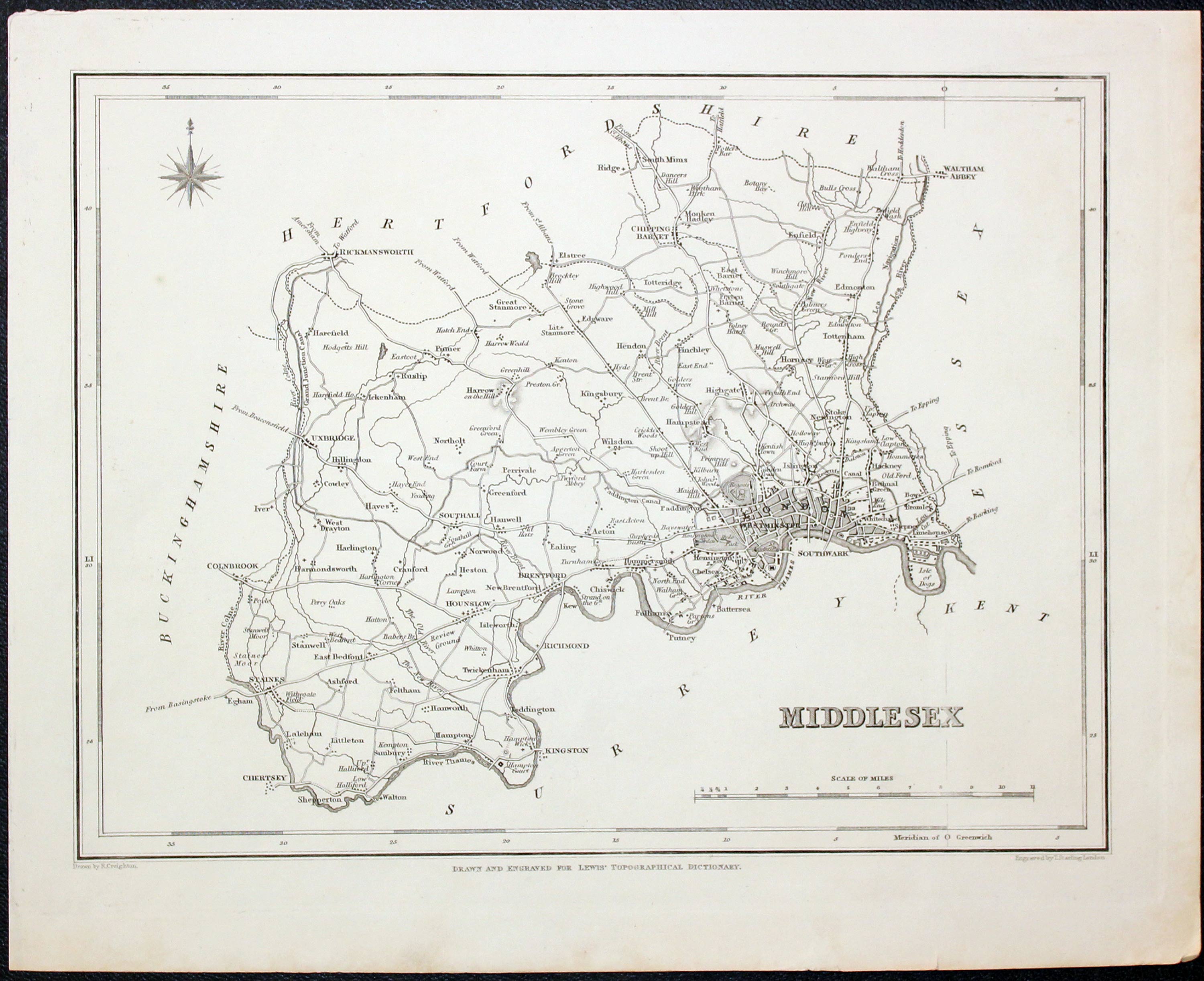
Middlesex, Samuel Lewis c.1835

28247 Middlesex, Samuel Lewis, c.1835. Price: 14.00
MIDDLESEX
A county map drawn by R. Creighton and engraved by J. & C. Walker. Scale. Compass rose. 9 x 7 1/2 inches. Uncoloured. Good condition.
From: Lewis' Atlas to the Topographical Dictionaries of England and Wales
Victorian Middlesex - Decorative Map
-

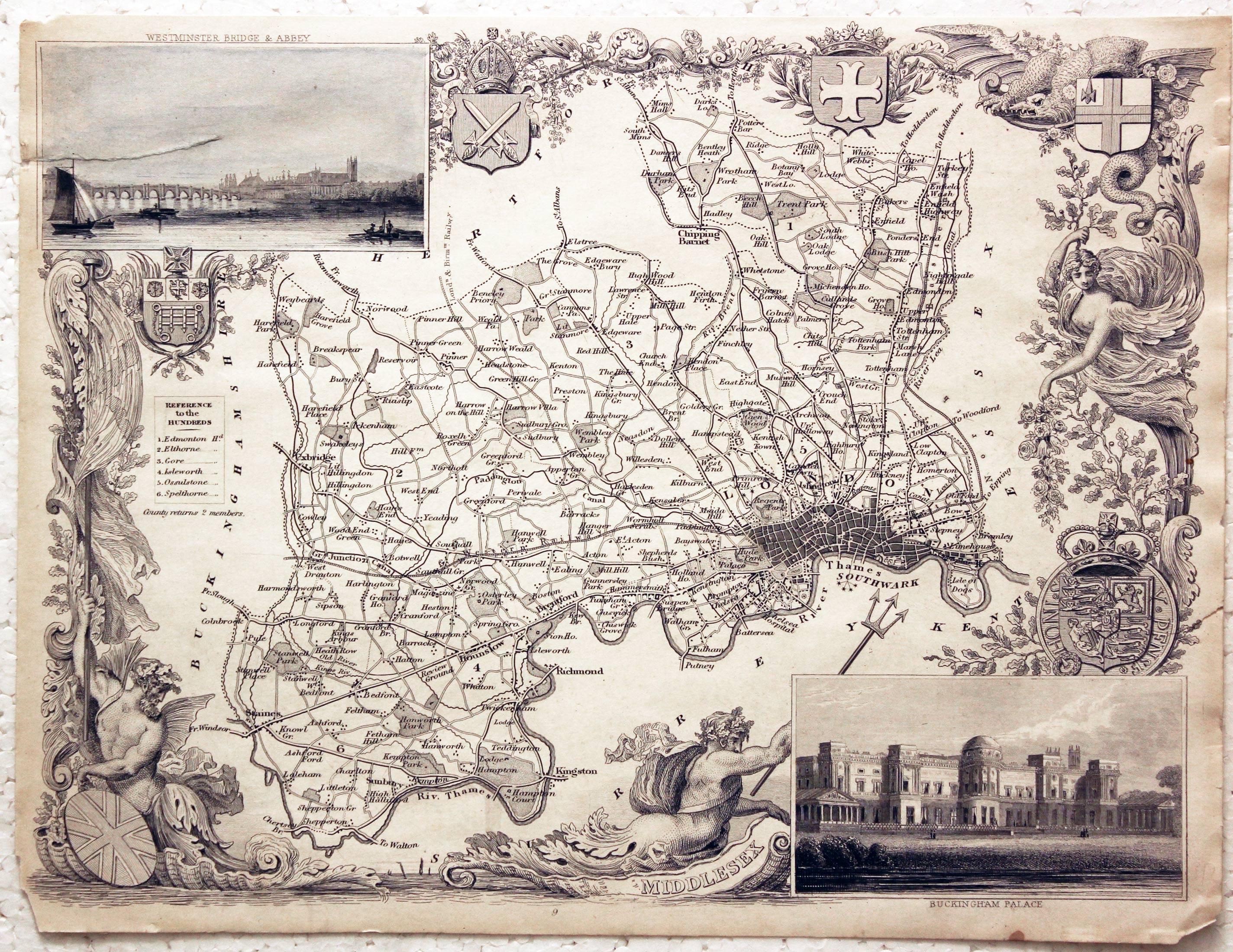
Middlesex, Thomas Moule c.1850

28335 Middlesex, Thomas Moule c.1850. Price: 26.00
MIDDLESEX
A most elaborate Victorian map of the county. Two inset views of Westminster Bridge & New Houses of Parliament and Buckingham Palace. The decorative border boasts sea figures, flags and coats of arms. 10 x 7 3/4 inches, 255 x 198 mm. Uncoloured. Some blue colouring to the few in the top left hand corner otherwise uncoloured. Two small creases and a few nicks around the edges. In need of some restoration.
From: Barclay's Dictionary
19th Century - Detailed Map of Middlesex
-

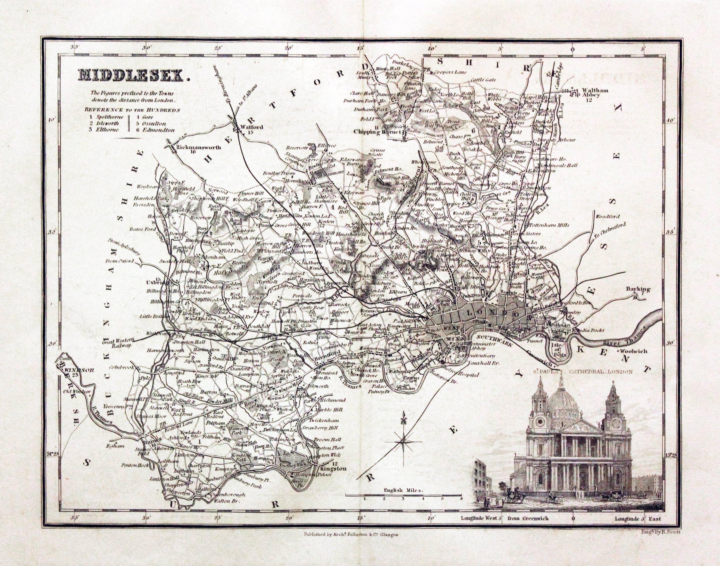
Middlesex, Archibald Fullarton, c.1843

28732 Middlesex, Archibald Fullarton, c.1843. Price: 40.00
MIDDLESEX
A detailed map of the county embellished with a view of St. Paul's Cathedral. 9 x 7 inches. Uncoloured. Good condition.
From: The Parliamentary Gazetteer
Late 19th Century - Detailed Map of Middlesex
-

Middlesex, George Washington Bacon, 1884

29655 Middlesex, George Washington Bacon, 1884. Price: 20.00
MIDDLESEX
A detailed colour printed lithograph map of the county. 19 1/4 x 12 1/2 inches. Good condition.
From: New Large Scale Ordnance Atlas of the British Isles published by George W. Bacon
18th Century Map of Middlesex with List of Market and Fair Days
-

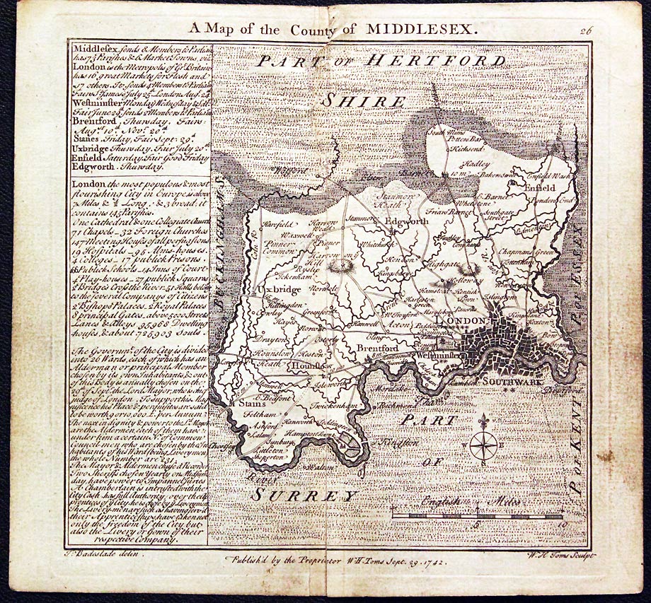
Middlesex, Thomas Badeslade and W. H. Toms, 1742

29676 Middlesex, Thomas Badeslade and W. H. Toms, 1742. Price: 28.00
A MAP OF THE COUNTY OF MIDDLESEX
An engraved map of the county with scale and compass pointer. On the left of the map is a panel listing towns with their market and fair days plus a description of London. 5 x 5 inches, 145 x 140 mm. Uncoloured. There has been a long split i the centre fold. This is just about invisible as the map has been pasted down the centre fold onto the binding slip. Tiny ruck at the top of the centre fold. Special price.
From: Chorographia Britanniae
19th Century Map of Middlesex with Early Hand Colouring
-

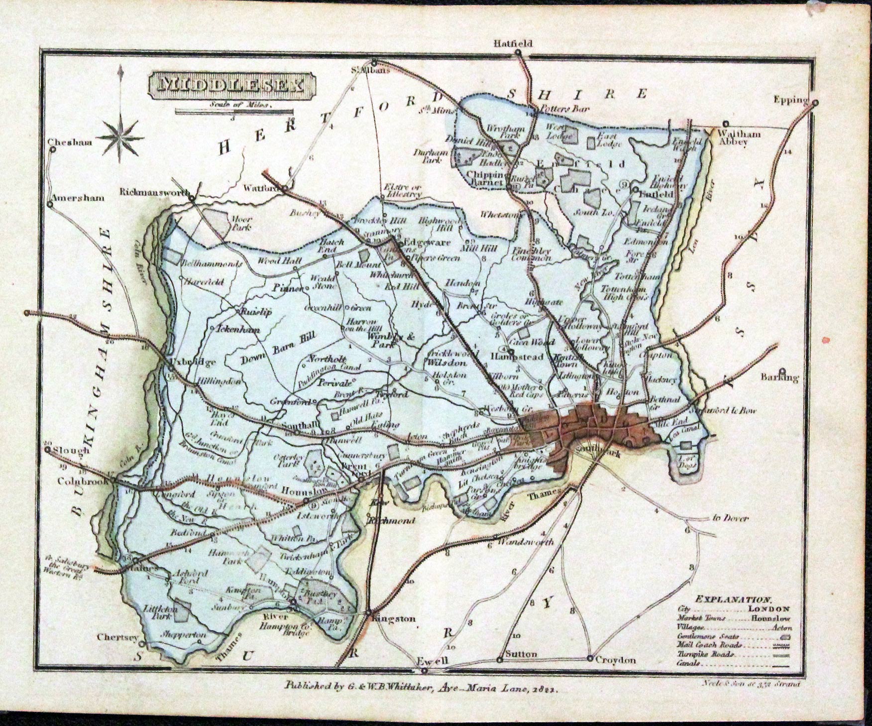
Middlesex, G. & W. B. Whittaker, c.1822

29709 Middlesex, G. & W. B. Whittaker, c.1822. Price: 19.50
MIDDLESEX
A small engraved map of the country engraved by Neele and Son. Imprint of G & W. B. Whittaker beneath the map dated 1822. 6 1/4 x 5 inches. Original outline and wash hand colouring. Traces of small pieces of tape on verso at each corner where the map has been held in a mount. Otherwise nice clean condition.
Late 19th Century Map of Middlesex
-

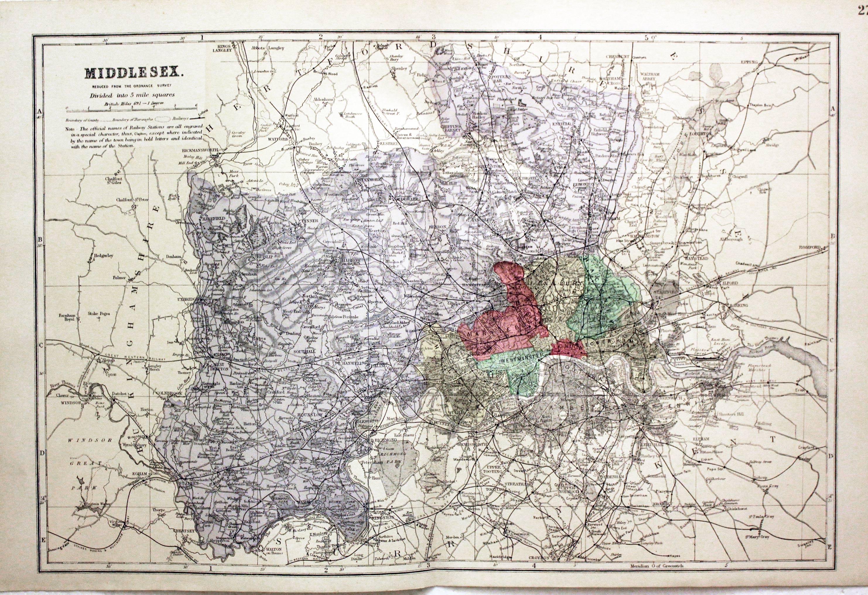
Middlesex, George Washington Bacon, c.1896

30181 Middlesex, George Washington Bacon, c.1896. Price: 20.00
MIDDLESEX REDUCED FROM THE ORDNANCE SURVEY. DIVIDED INTO 5 MILE SQUARES
A good detailed late 19th century colour printed map of county. Shows the railways and Parliamentary Divisions. 12 x 18 1/4 inches. Good condition.
Early 19th Century Map of Middlesex with Original Hand Colouring
-

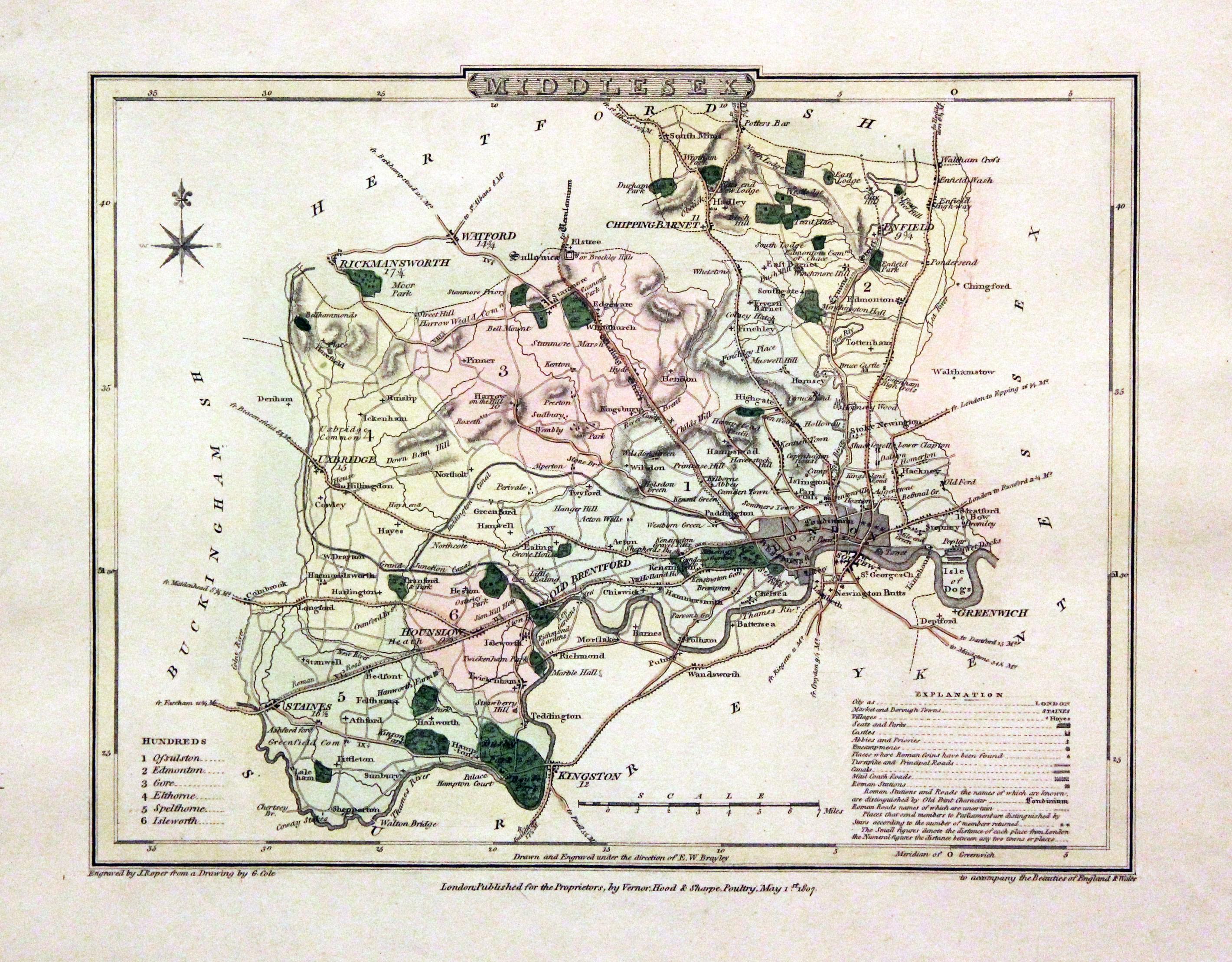
Middlesex by George Cole and John Roper 1810

30523 Middlesex, George Cole and John Roper, 1810. Price: 45.00
MIDDLESEX
A good detailed engraved map of the county divided into hundreds. Bears the publishers imprint dated of 1807. Explanation. 8 3/4 x 6 3/4 inches. Original wash and outline hand colouring. Good condition. Straight from the atlas and not sold as a single map before. With original page of descriptive text.
From: The British Atlas
Large 19th Century Map of Middlesex needing some Repairs
-

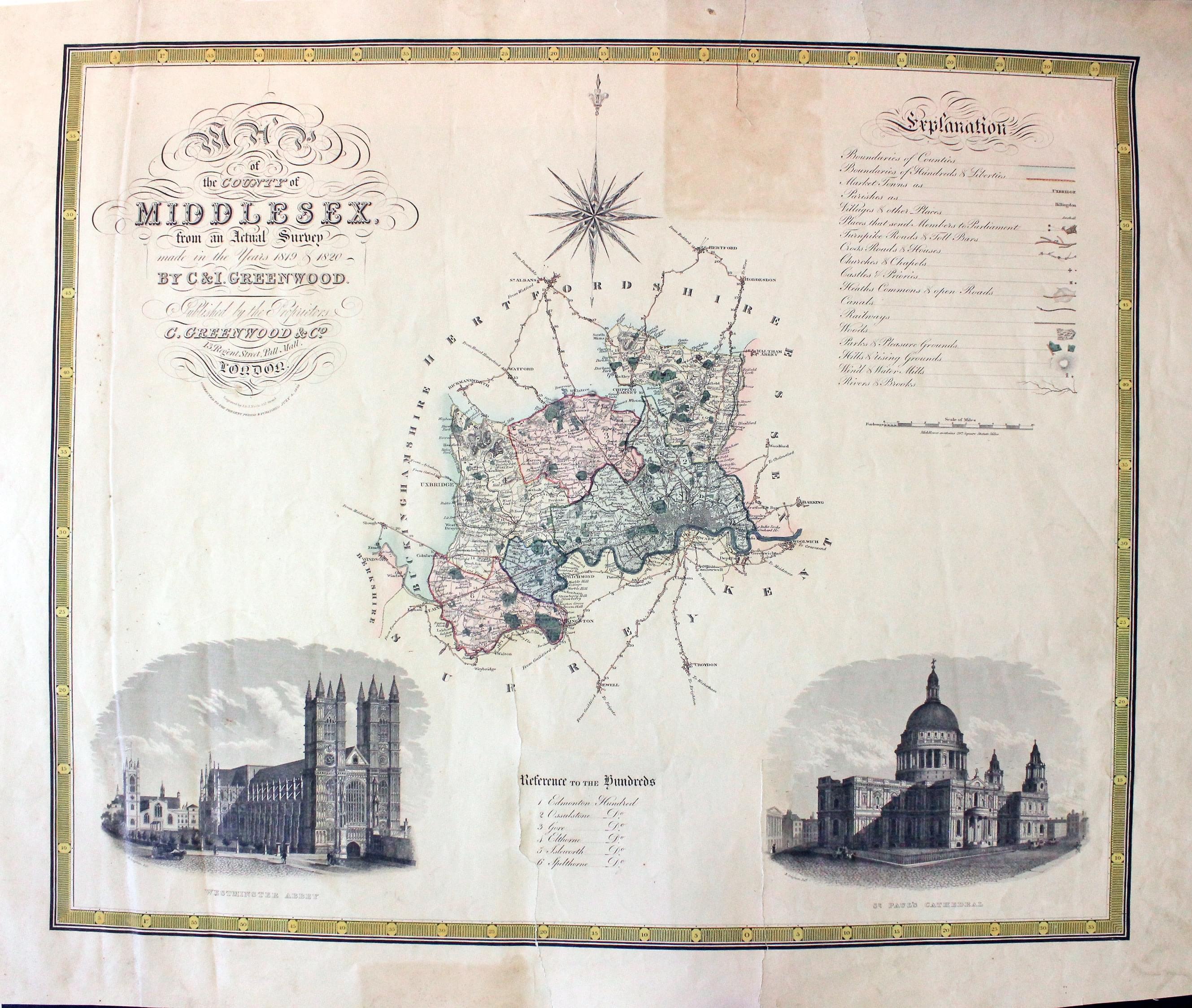
Middlesex, C. & J. Greenwood, 1834

30674 Middlesex, C. & J. Greenwood, 1834. Price: 36.00
MAP OF THE COUNTY OF MIDDLESEX FROM AN ACTUAL SURVEY
A detailed engraved county map embellished with two large uncoloured vignette views of Westminster Abbey and St. Paul's Cathedral. Uncoloured compass rose. List of hundreds, polling places and explanation. 2 1/2 x 21 inches. Original outline and wash hand colouring to the map area. Modern yellow wash colouring to the printed border. Tear in top margin extending 2 inches into a blank area of the map. Old patch repair on verso which is showing some browning on the front. Two other tears in bottom margin extending 6 1/2 and 4 1/2 inches into a blank area of the map. A few other small marginal nicks. Special price. Would respond to some TLC.
From: Atlas of the Counties of England
19th Century of Middlesex with Early Hand Colouring
-

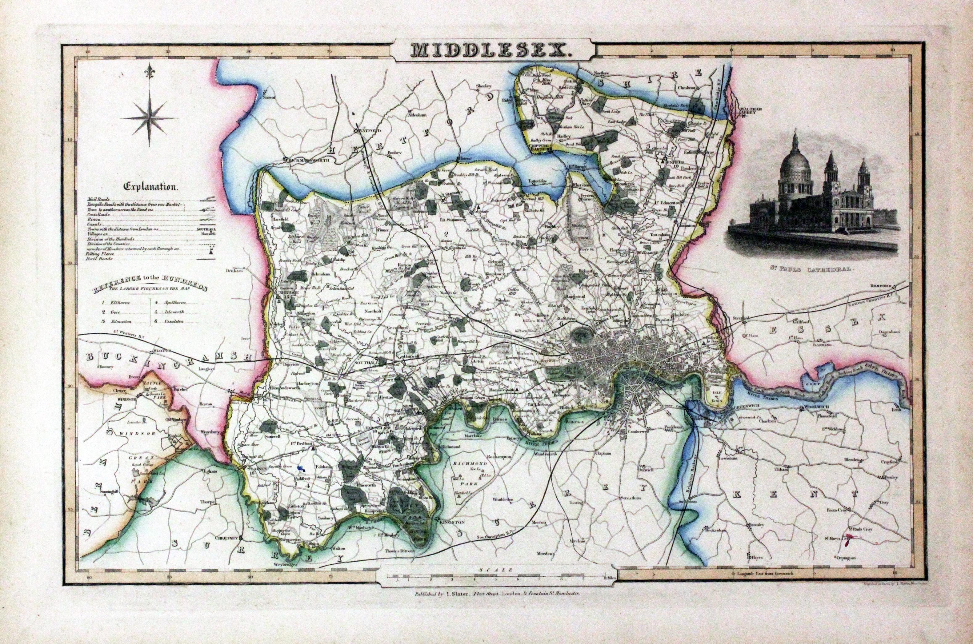
Middlesex, James Pigot / Isaac Slater, c.1857

30787 Middlesex, James Pigot / Isaac Slater, c.1857. Price: 75.00
MIDDLESEX
An engraved map of the county with title, scale, explanation and list of hundreds. Embellished with an uncoloured view of St. Paul’s Cathedral. 14 x 8 3/4 inches. Original outline hand colouring. On stout paper. Good undamaged condition.
From: Isaac Slater’s New British Atlas
Map of Victorian Stag Hunting in Middlesex
-

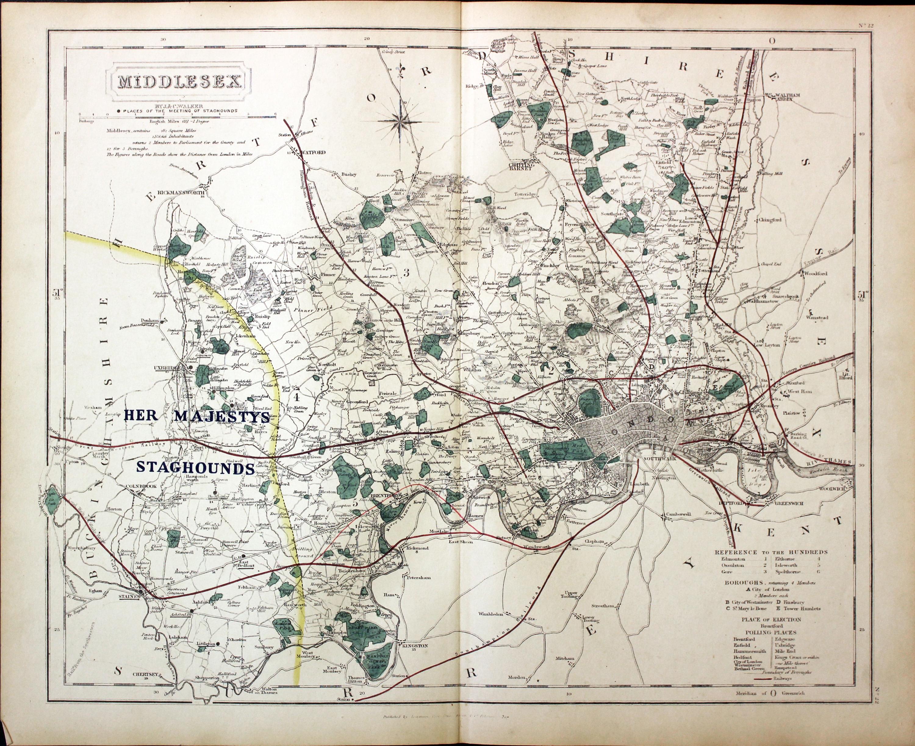
Kent - Fox Hunting, John and Charles Walker, 1851


31051 Middlesex - Stag Hunting, John and Charles Walker, 1851. Price: 45.00
MIDDLESEX
A good detailed lithograph map of the county from Hobson's Fox Hunting Atlas showing the places of the Meeting of the Stag Hounds. 15 1/2 x 12 1/2 inches. Published by Longman, Rees, Orme, Brown and Co. Paternoster Row, London. Original outline hand colouring. Fine condition. Straight from the atlas so has not been sold as a single map before.
Shows Her Majestys Staghound Hunt
Provenance: George Hayhurst - Royal Fusiliers and Henry H. France
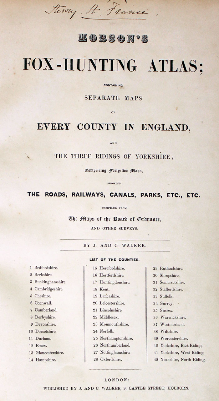
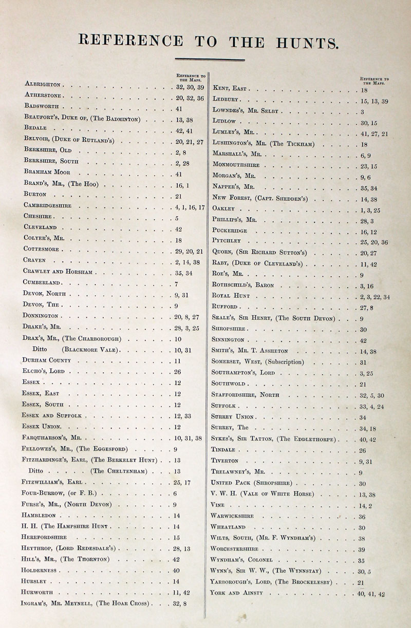
TITLE PAGE AND LIST OF HUNTS
-
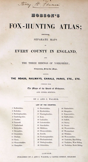
Hobson Fox Hunting Atlas Titlepage
-
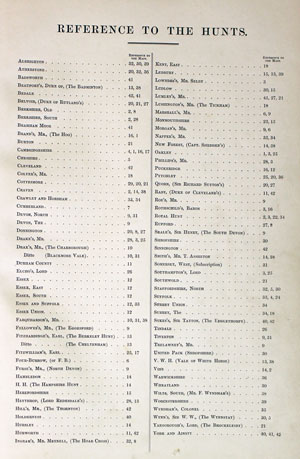
Hobsons Fox Hunting Atlas List of Hunts
Middlesex & Surrey on a late 19th century map
-
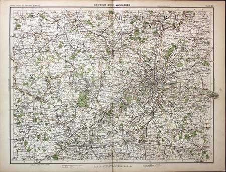
Middlesex and Surrey, John Bartholomew c.1898

31245 Middlesex and Surrey, John Bartholomew c.1898. Price: 12.50
SECTION XXIII MIDDLESEX
A colour printed map showing part of Hertfordshire, Middlesex and Surrey. Scale of 4 miles to the inch. Shows the railways. 16 1/2 x 12 1/2 inches. Centre fold as issued. Tiny split at the bottom of the centre fold otherwise good clean condition.
From: The Royal Atlas
Many lost to Children Map of Surrey
-

Middlesex, Reuben Ramble 1844
-

Middlesex Text, Reuben Ramble 1844
31381 Middlesex, Reuben Ramble, c.1845. Price: 89.00
MIDDLESEX
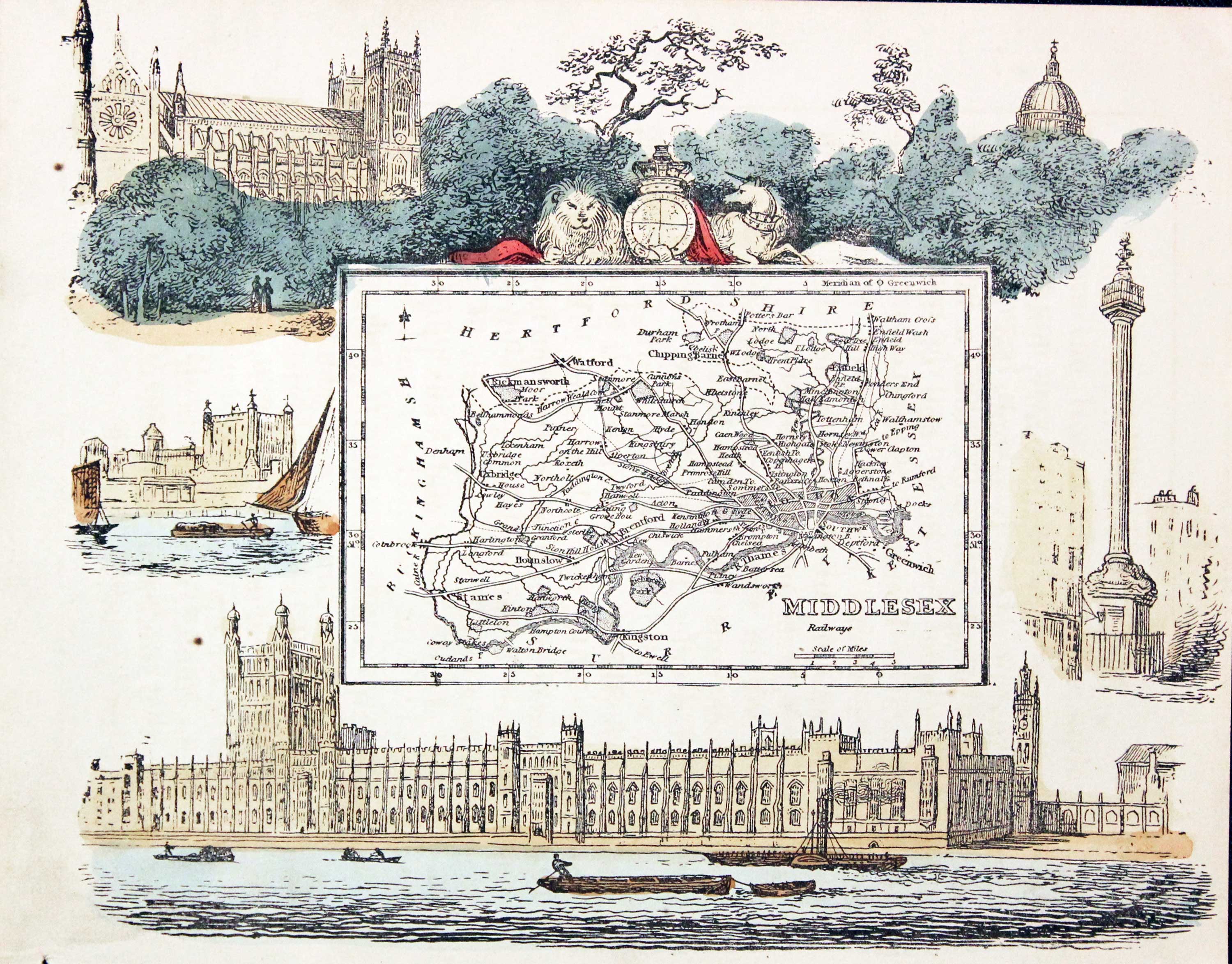
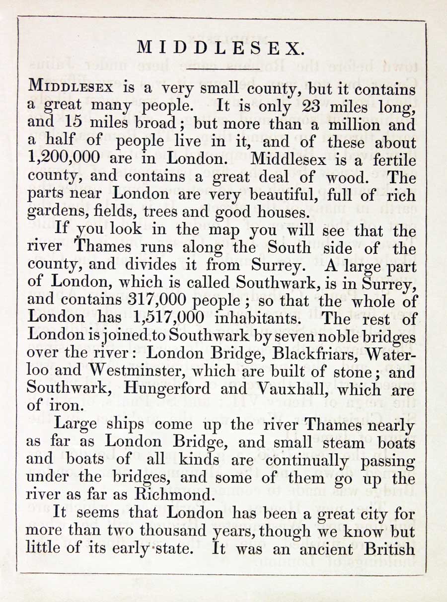
An uncommon lithograph miniature map of the county surmounted by the Royal Arms and surrounded by a wide border of vignette views of London scenes. The maps first appeared in Miller’s New Miniature Atlas published in 1810. The decorative views were added and the maps republished by Darton & Clark in “Reuben Ramble’s Travels Through the Counties of England” in 1844. 7 1/4 x 5 3/4 inches. This is the size of overall area and not the contained map. Original hand colouring. With this map is the original double sided page of text describing the county.

One in the Library of Sir Herbert George Fordham
-
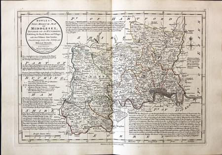
Middlesex Carington Bowles, 1785
-
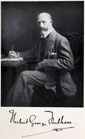
Sir H. George Fordham

31435 Middlesex, Carington Bowles, 1785. Price: 145.00
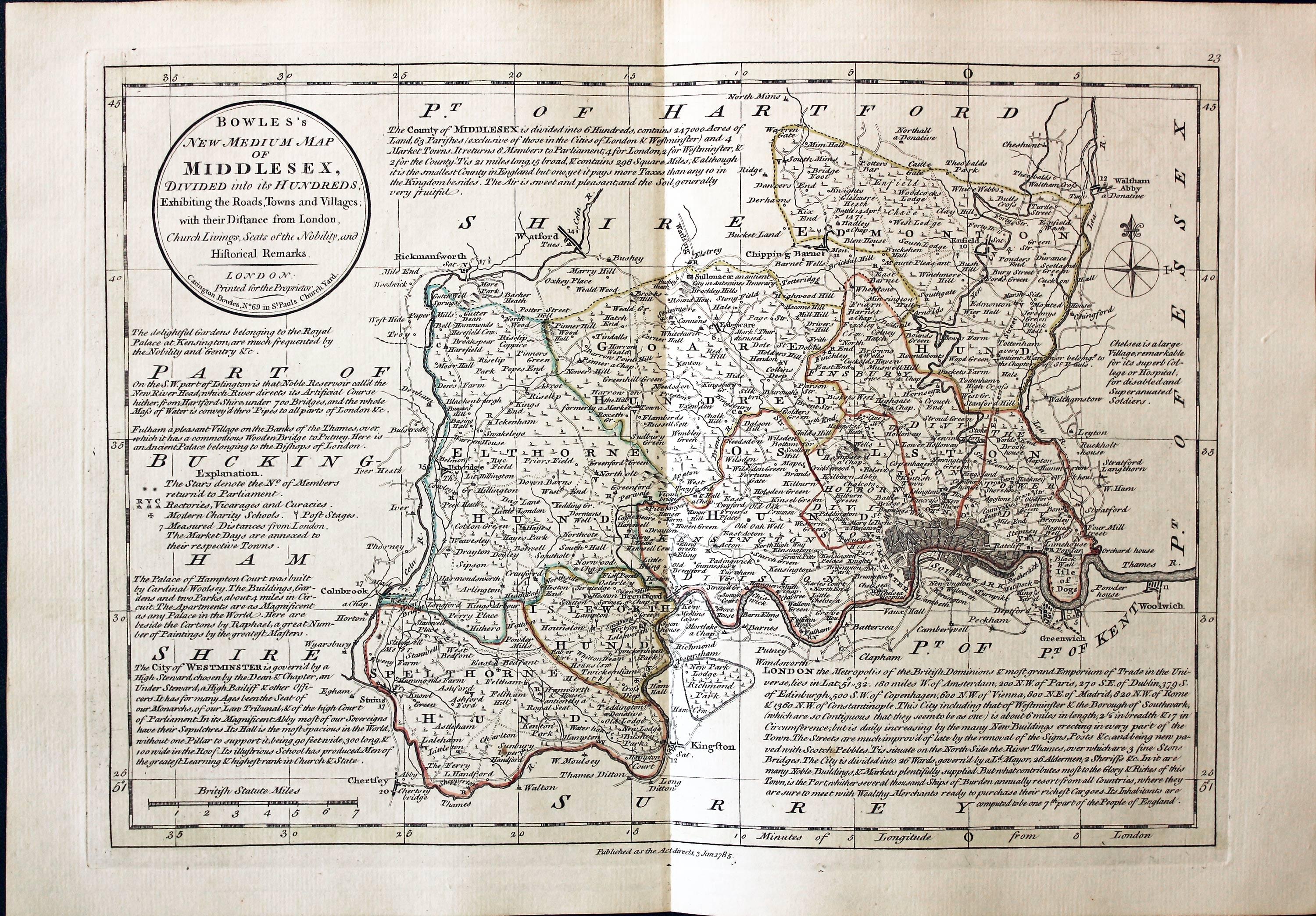
BOWLES’S NEW MEDIUM MAP OF MIDDLESEX DIVIDED INTO ITS HUNDREDS....
A good detailed late 18th century map of the county. The title appears within a circular panel bearing the imprint of Carington Bowles No. 69 in St. Paul’s Church Yard. Beneath the map is a further imprint Published as the Act directs, 3 Jan. 1785. Around the map are interesting engraved notes pertaining to the county. 12 1/2 x 8 3/4 inches. Explanation and scale. Original outline hand colouring. Superb clean condition having been taken straight from the atlas and not sold previously as a single map.
From: Bowles’s New Medium English Atlas
The maps in this atlas are based on the maps by Emanuel and Thomas Bowen in their Atlas Anglicanus. The title cartouche has been changed as well as the addition of the distance in miles from London shown by some town names.
Provenance: This map comes from an atlas which was once in the library of the renowned carto-bibliographer Sir Herbert George Fordham (1854 - 1929). He was the first to attempt the systematic cataloguing of the maps of an English county. Born on 9th May 1854 at Odsey, a manor on the borders of Hertfordshire and Cambridgeshire sold to the Fordham family in 1793 by the 5th Duke of Devonshire. The flyleaf of the atlas was signed H.George Fordham, Odsey, 1925. Further reading: Map Collectors' Circle No. 51: Sir H.George Fordham Carto-bibliographer by J. M. Henshall.
The atlas was later in the library of Professor Eva Germaine Remington Taylor (1879 - 1966) Distinguished geographer. Presented after her death to Birbeck College, University of London. Sold by their order at Sotheby's, London and purchased by Richard Nicholson
-
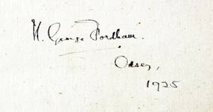
Signature
-

Titlepage
Detailed map of 19th Century Middlesex
-

Middlesex, Samuel Lewis 1845

31603 Middlesex, Samuel Lewis, 1845. Price: 26.00
MIDDLESEX
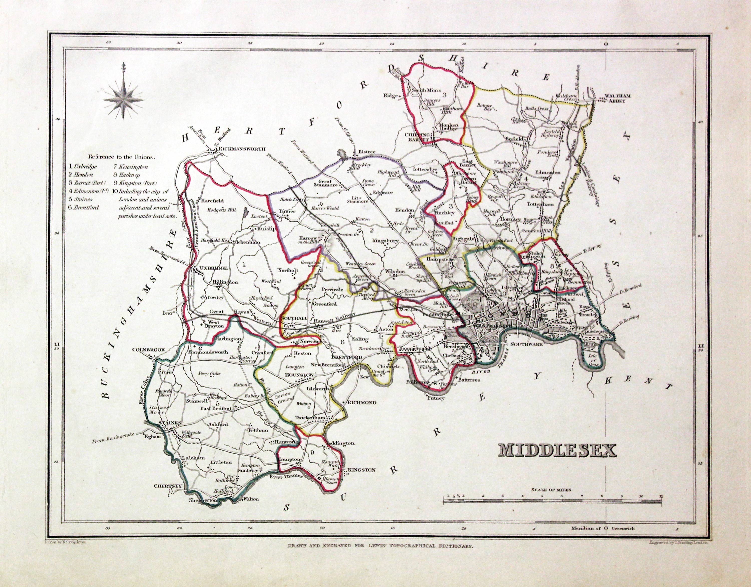
A county map drawn by R. Creighton and engraved by J. & C. Walker. Reference to the Unions. Scale. 9 x 7 1/2 inches. Original outline hand colouring. Good clean condition. Straight from the atlas and not sold as a single map before now.
From: Lewis' Atlas to the Topographical Dictionaries of England and Wales
Map of Middlesex in the Early 18th Century with added Engravings
-

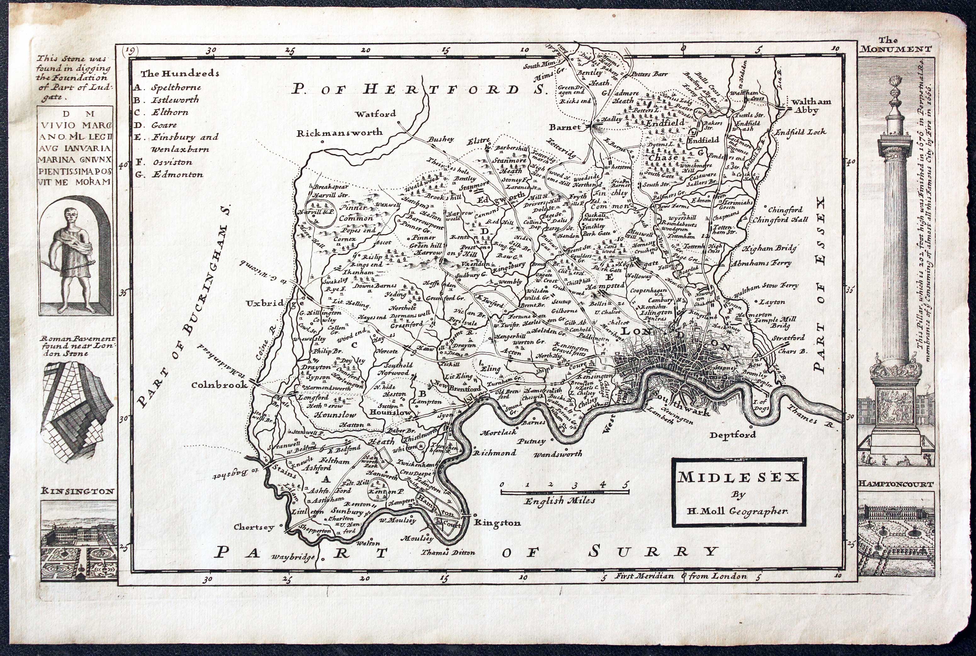
Middlesex, Herman Moll 1724

31735 Middlesex, Herman Moll, 1724. Price: 105.00
MIDDLESEX BY H. MOLL GEOGRAPHER
An engraved map of the county divided into hundreds. Title panel, scale, and list of hundreds. Down the two sides of the map are engravings of Roman antiquities, Kensington Palace, The Fire Pillar and Hampton Court. 7 1/2 x 12 1/4 inches. Uncoloured. Small brown stain in the upper top left blank margin otherwise good clean condition. Straight from the atlas and not sold as a single map before.
From: A Set of Fifty New and Correct Maps of England and Walesn
Antique County Map with bright Original Hand Colouring
-

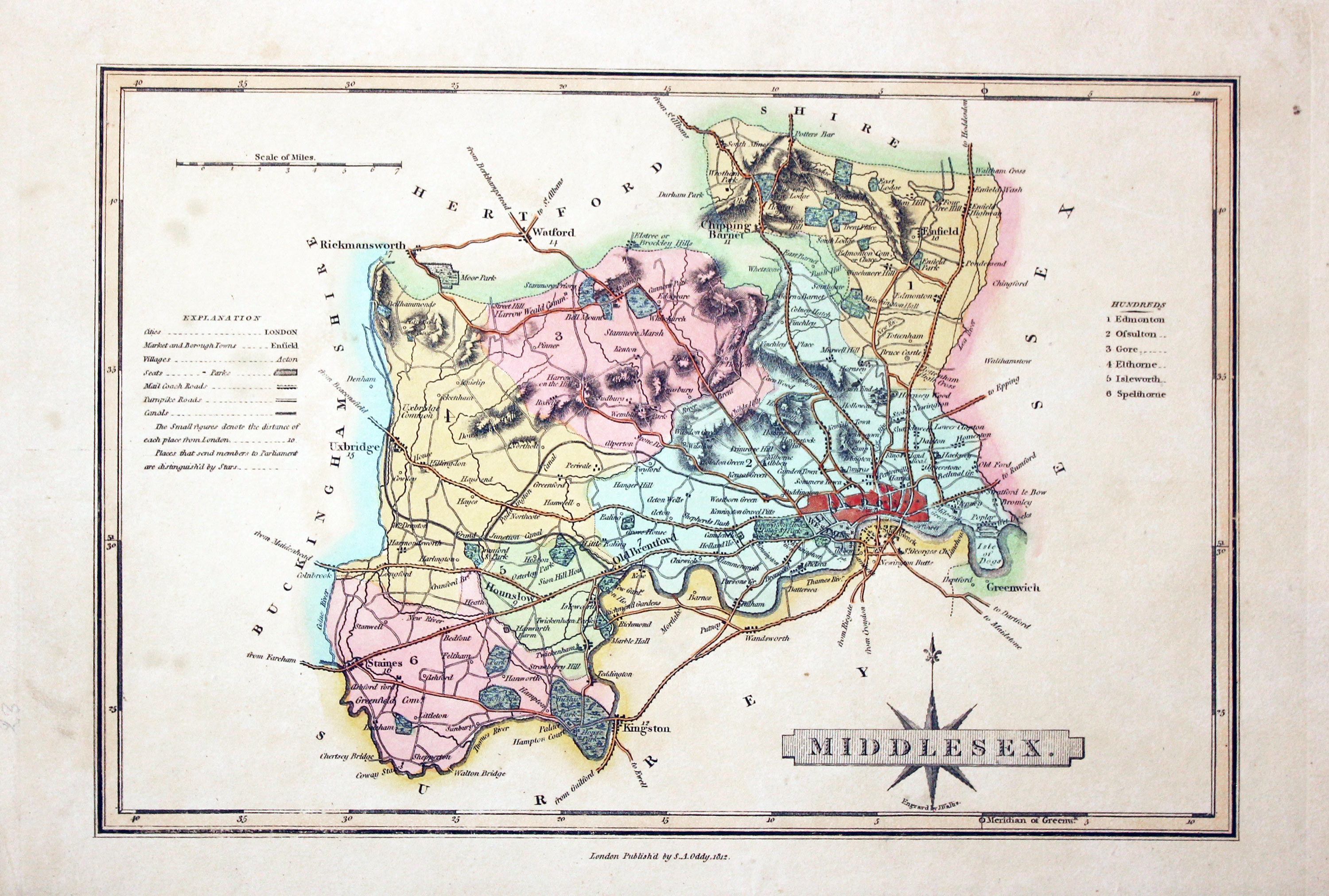
Middlesex, James Wallis and S. A. Oddy 1819

32062 Middlesex, James Wallis / S. A. Oddy, 1819. Price: 28.00
MIDDLESEX
An engraved map of the county with explanation, scale and list of hundreds. Title panel with compass rose. Underneath is the name of the engraver James Wallis. 10 1/4 x 6 3/4 inches. Imprint of S. A. Oddy beneath. Original outline and wash hand colouring. Few light spots on the left of the map otherwise good condition.
From: A New and Improved County Atlas
Attractive Early Hand Coloured Map of Middlesex
-

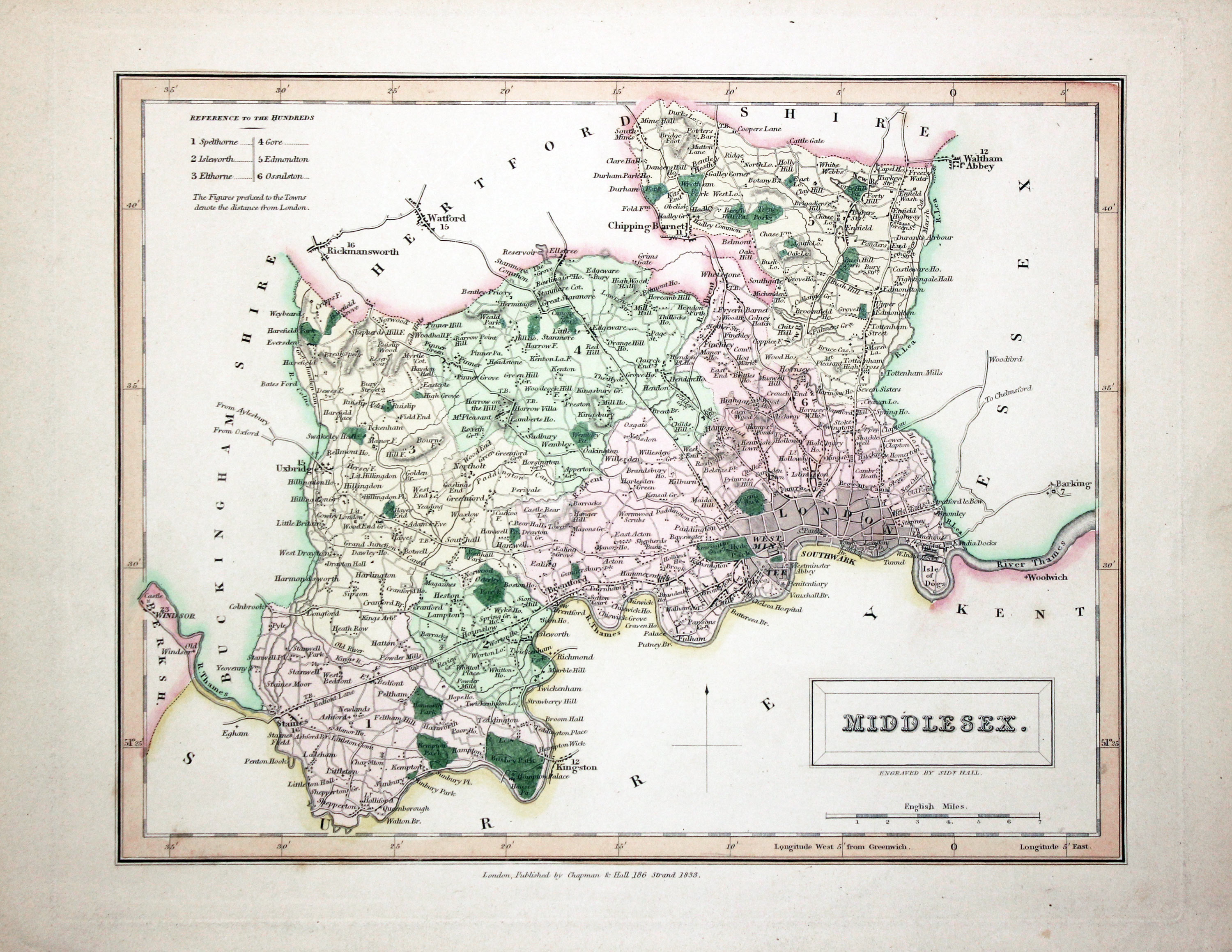
Middlesex, Sidney Hall 1833

32087 Middlesex, Sidney Hall 1833. Price: 35.00
MIDDLESEX
A detailed engraved map of the county. 9 1/2 x 7 1/4 inches. Attractive original outline and wash hand colouring. Publishers imprint beneath dated 1833. Good clean undamaged condition.
From: A New British Atlas
19th Century Map of Middlesex showing the Railways
-

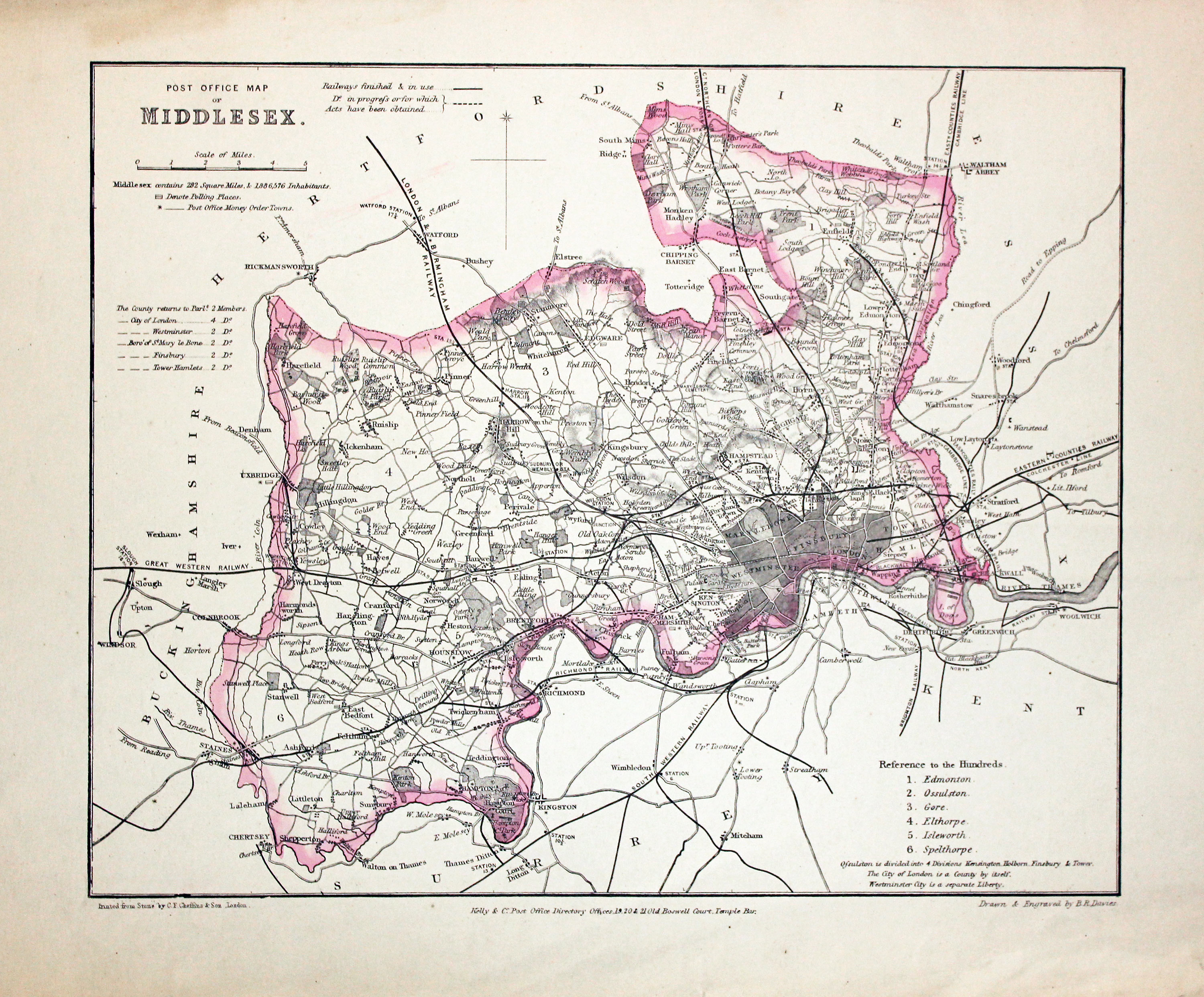
Middlesex, Frederic Kelly c.1860

32103 Middlesex, Frederic Kelly c.1860. Price: 26.00
POST OFFICE MAP OF MIDDLESEX
A map of the county engraved by B. R. Davies and printed on stone by C. F. Cheffins Son of London. Published by Kelly & Co. Office Directory Office 19, 20 & 21 Old Boswell Court, Temple Bar London. List of hundreds. Shows railways finished and in use as well as those in progress. 10 1/2 x 8 1/2 inches. Original pink outline hand colouring. Good condition.
Small Low Priced Antique Map of Middlesex
-

Middlesex John Aiken c.1800

32113 Middlesex, John Aiken, c. 1800. Price: 14.00
MIDDLESEX
A simple engraved map of the county with title. About 5 x 4 inches. Uncoloured. Good condition.
From: England Delineated
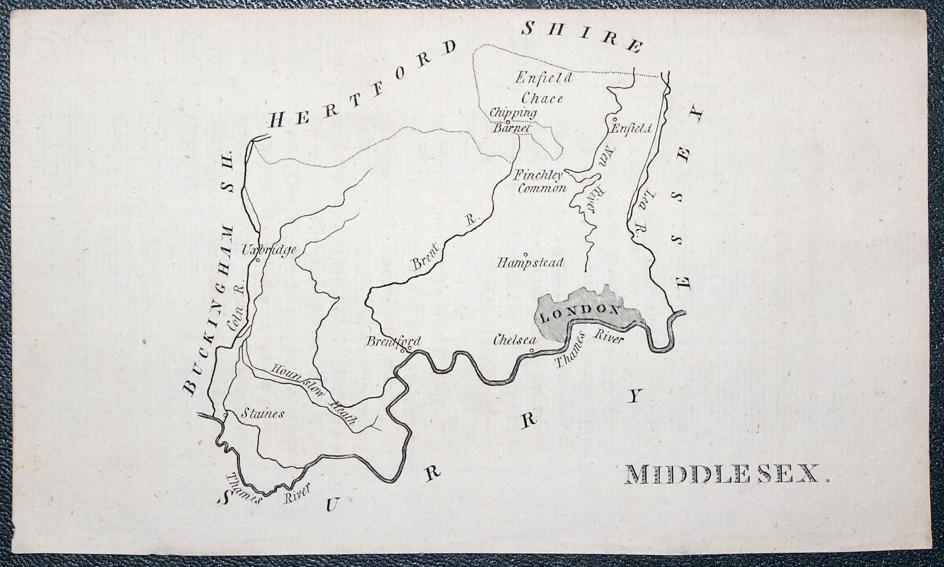
This simplistic series of county maps was intended for school children. They just show towns and rivers. An interesting addition for any collection of county maps.
Early 18th Century Engraved maps of Middlesex and Hertfordshire
-
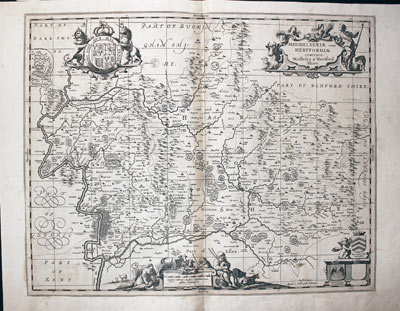
Hertfordshire and Middlesex, P. Schenk and G. Valk, c.1700
32130 Hertfordshire and Middlesex, P. Schenk and G. Valk, c.1700. Price: 180.00
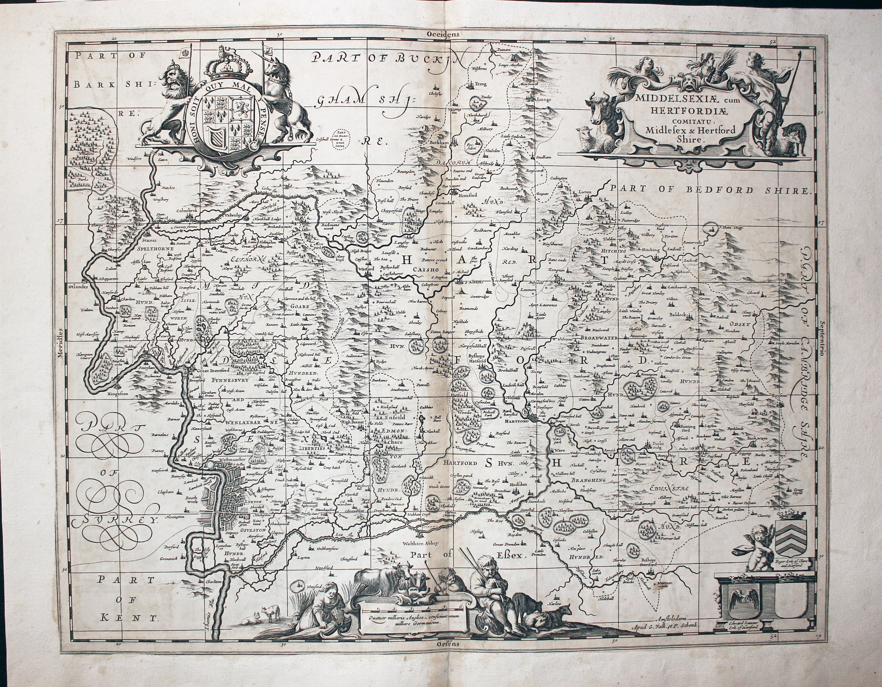
MIDDELSEXIA CUM HERTFORDIAE COMITATU: MIDDLESEX & HERTFORD SHIRE
A decorative early map of the two counties published in Amsterdam. Orientated with east at the top. Decorative title cartouche with allegorical figures. Scale cartouche with figures of farmers and animals. Royal Arms with supporters. 21 1/2 x 17 inches. Uncoloured. Centre fold as issued. Very light browning in the centre fold otherwise good condition on stout paper. You would never know from the front of the map but this map at sometime has been laid into a larger sheet of paper.
This map is actually by the Dutch cartographer Jan Jansson and first appeared in his atlas of England and Wales in 1646. The plates were acquired by the firm of Schenk and Valk who made various additions and republished the maps. This map has the addition of a graticule of latitude and longitude added.
Late 19th Century Detailed Map of Parts of Hertfordshire, Middlesex and Surrey
-

Middlesex with Surrey, John Bartholomew c.1898

32170 Middlesex and Surrey, John Bartholomew c.1898. Price: 17.00
SECTION XXIII MIDDLESEX
A colour printed map showing part of Hertfordshire, Middlesex and Surrey. Scale of 4 miles to the inch. Shows the railways. 16 1/2 x 12 1/2 inches. Centre fold as issued. Good clean condition.
From: The Royal Atlas
Old Map of Middlesex with Early Hand Colouring
-

Map of Middlesex by James Wallis c.1820

32361 Middlesex, James Wallis, c.1820. Price: 25.00
MIDDLESEX
An engraved map of the county with explanation, scale and list of hundreds. Title panel with compass rose. 10 1/4 x7 inches. Original outline and wash hand colouring. Very light creasing across the blank area in the bottom right hand side of the map, otherwise good condition.
Detailed Miniature Antique Map of Middlesex
-

Map of Middlesex, John Cary, 1792
32559 Middlesex, John Cary, 1792. Price: 14.00
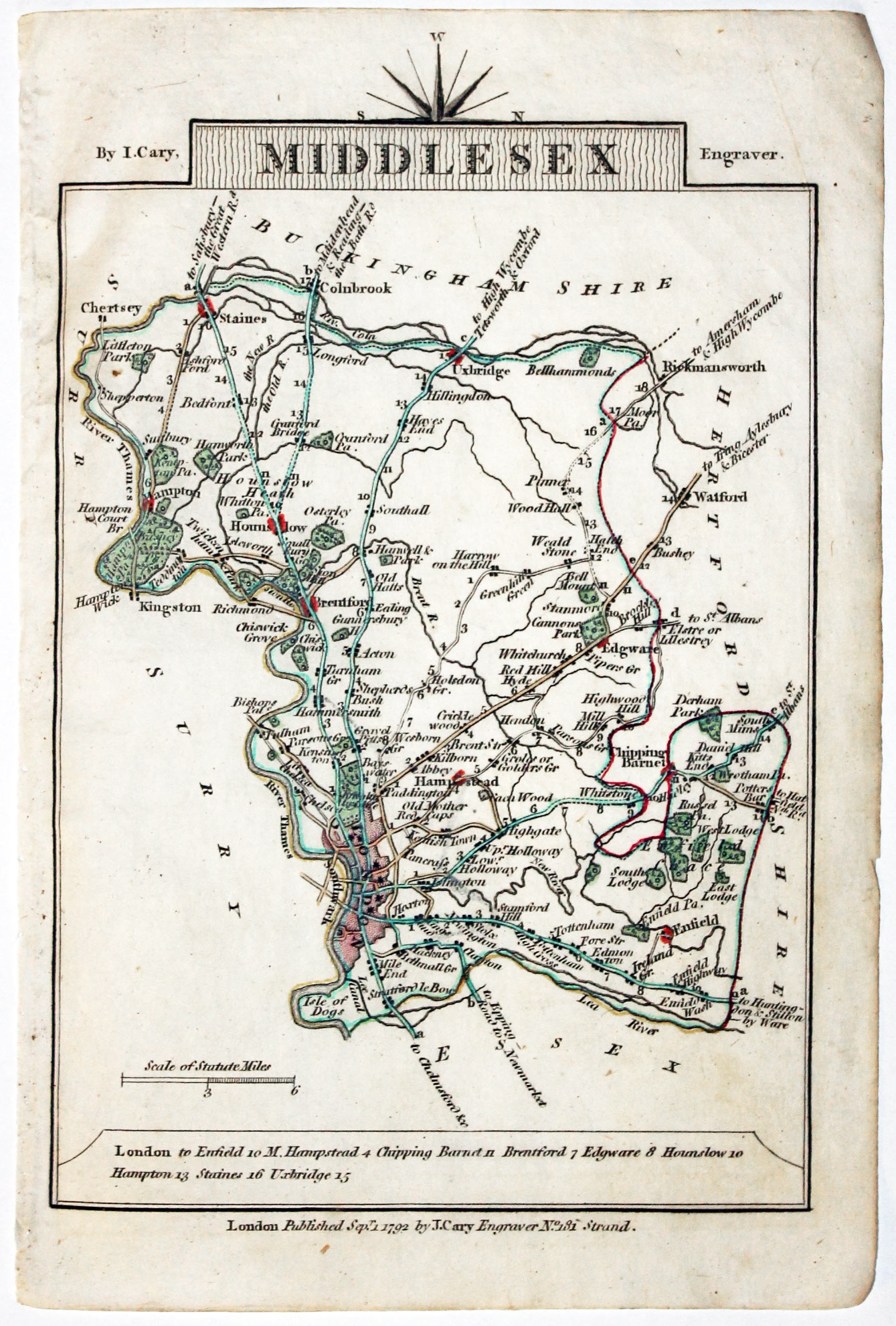
MIDDLESEX
A small engraved map of the county. Tile panel surmounted by half compass rose. Panel at bottom with list of distances from London. Publisher’s imprint beneath dated 1792. 3 1/2 x 4 3/4 inches. Thin paper. Original outline hand colouring. Good condition.
From: Cary’s Traveller’s Companion
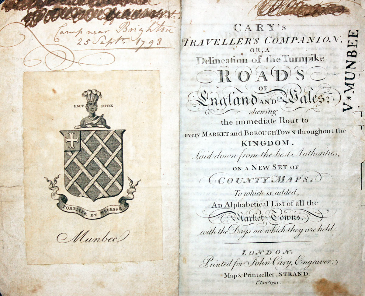
Titlepage dated 1791, maps dated 1792. The atlas was formerly in the Mumbee family library - titlepage stamped V. Munbee
Provenance
-
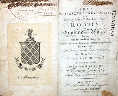
Cary Titlepage and Munbee Bookplate

Super Early 17th Century Map of Middlesex
-
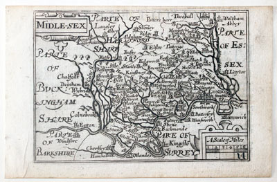
Middlesex by Pieter van den Keere, c.1627

-
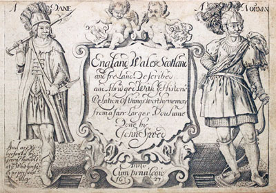
Pieter van den Keere Atlas Titlepage, c.1627
32628 Middlesex, Pieter van den Keere, c.1627. Price: 90.00
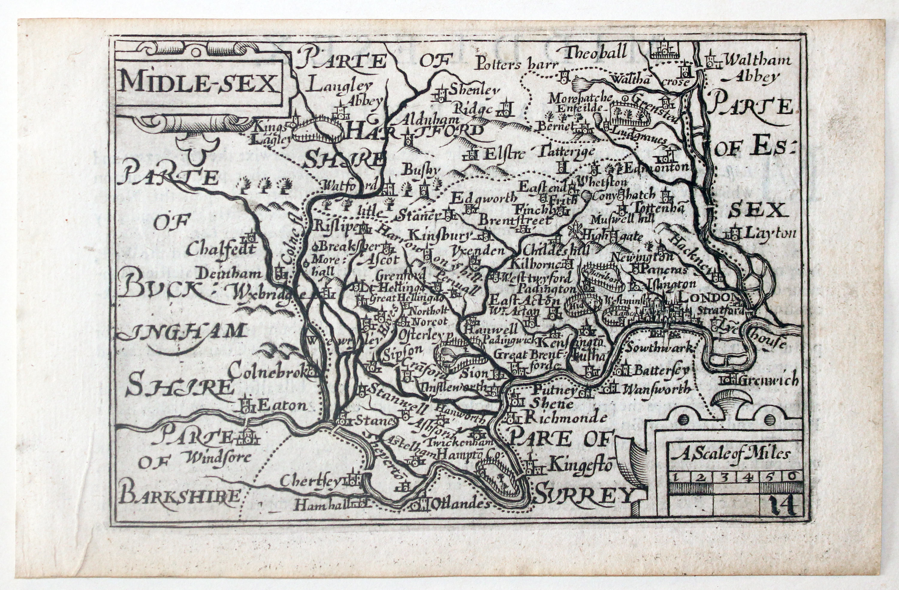
MIDDLE-SEX
A early engraved miniature map of the county. Embellished with decorative cartouches which displays the title and scale. Numbered 14. 4 3/4 x 3 1/4 inches. A good clean uncoloured and undamaged specimen Small top blank margin which is common. There is a description of Middlesex in English on verso and with the map is an additional page of double sided text continuing but not ending the description. The final part of the description appears on the reverse side of the map of Essex. Straight from the atlas and not previously sold as a single map. The title page of the atlas is dated 1627
From: England Wales Scotland and Ireland Described
Low Price Antique Map of Middlesex
-

Middlesex by James Wallis and William Lewis c.1819

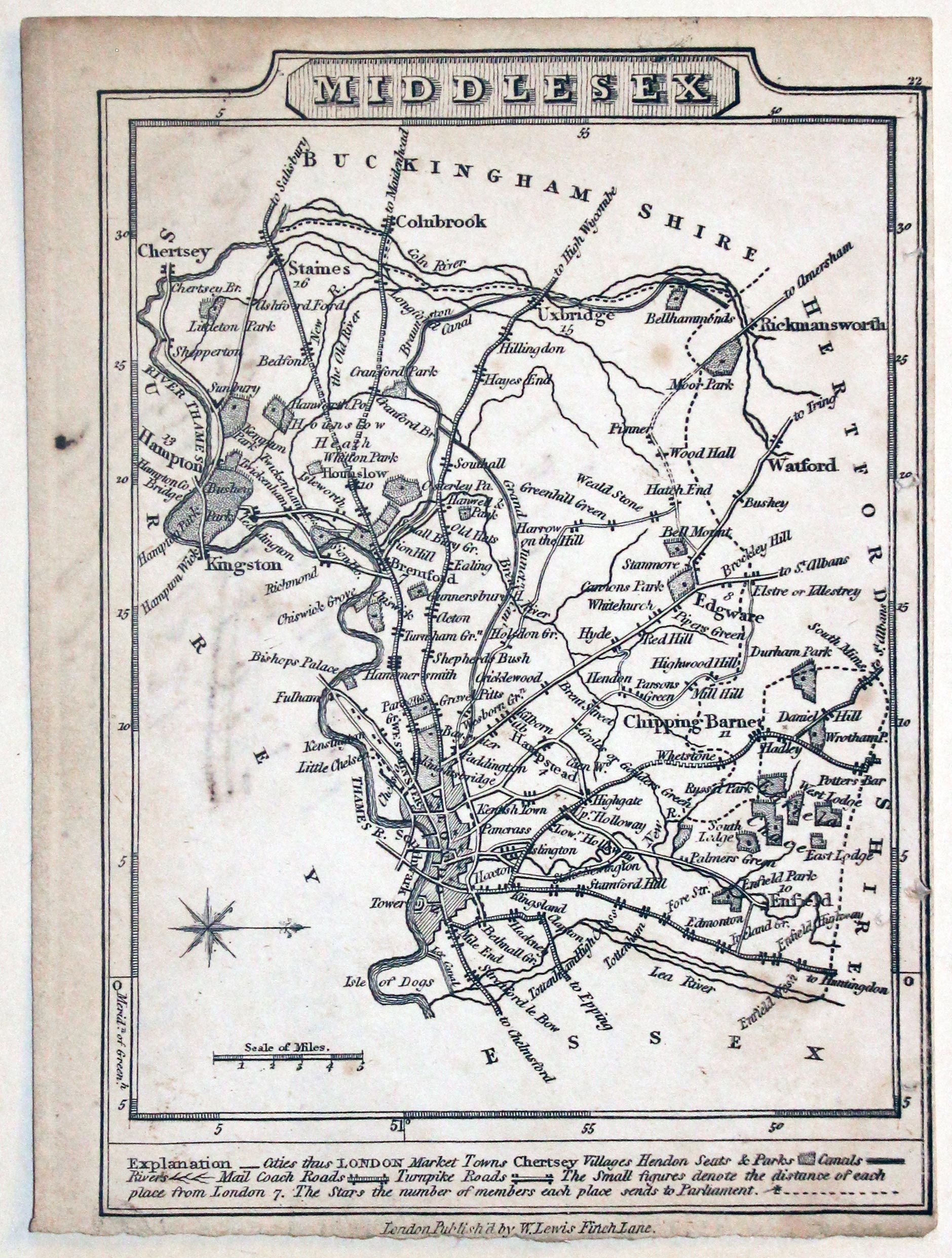
32694 Middlesex, James Wallis / William Lewis, c.1819. Price: 9.00
MIDDLESEX
A small engraved map of the county with compass rose and scale. Beneath the map is a description. Publishers of W. Lewis imprint beneath replacing the imprint of James Lewis that appeared in the 1810 edition. 3 3/4 x 5 inches. Uncoloured. Very small right hand and bottom blank margins. Manuscript notes in ink on verso concerning the population in 1801, 1881, 1821, 1831 and 1841.
From: New Travellers’ Guide
Detailed Antique Map of a Section Outside London
-

Enfield Chase, John Cary 1785
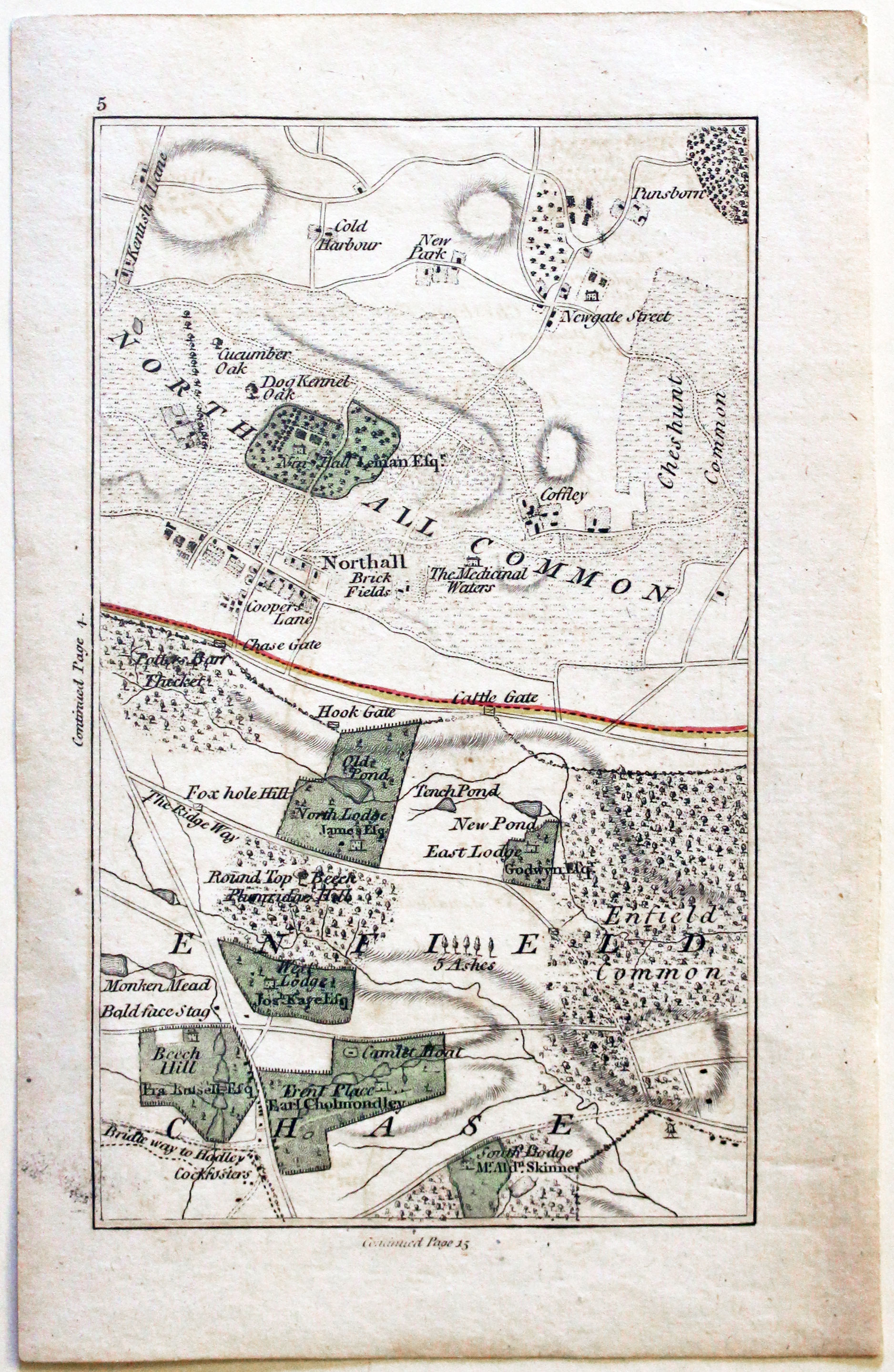
32793 Enfield Chase, John Cary 1786. Price: 34.00
Nothall Common
This is Section 5 of a map 15 Miles Round London. It shows Northall Common and the area west of Enfield titled Enfield Chase. 3 1/2 x 6 inches. Original hand colouring. Good condition.
From: Cary’s Actual Survey of the Country Fifteen Miles Round London On a Sacle of One inch to the MileMile
19th Century Detailed Map of Middlesex
-

Map of Middlesex by Samuel Lewis 1848

32922 Middlesex, Samuel Lewis, 1848. Price: 26.00
MIDDLESEX
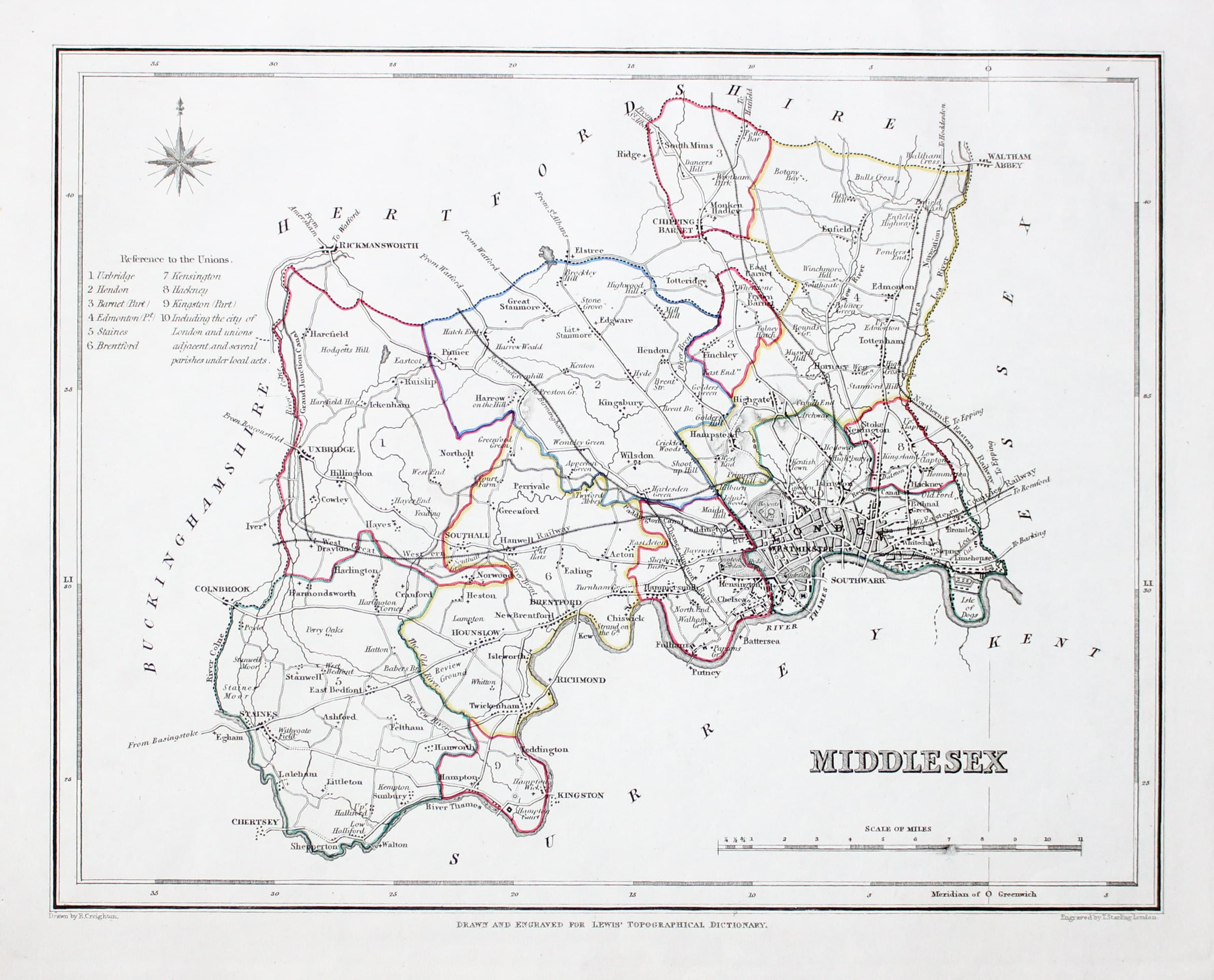
A county map drawn by R. Creighton and engraved by T. Starling. Reference to the Unions. Scale. 9 x 7 1/2 inches. Original outline hand colouring. Good clean condition. Straight from the atlas and not sold as a single map before now.
From: Lewis' Atlas to the Topographical Dictionaries of England and Wales
Good Large Antique Map of Middlesex needing Restoration
-

Map of Middlesex by John Cary 1801

33023 Middlesex John Cary, 1801. Price: 23.00
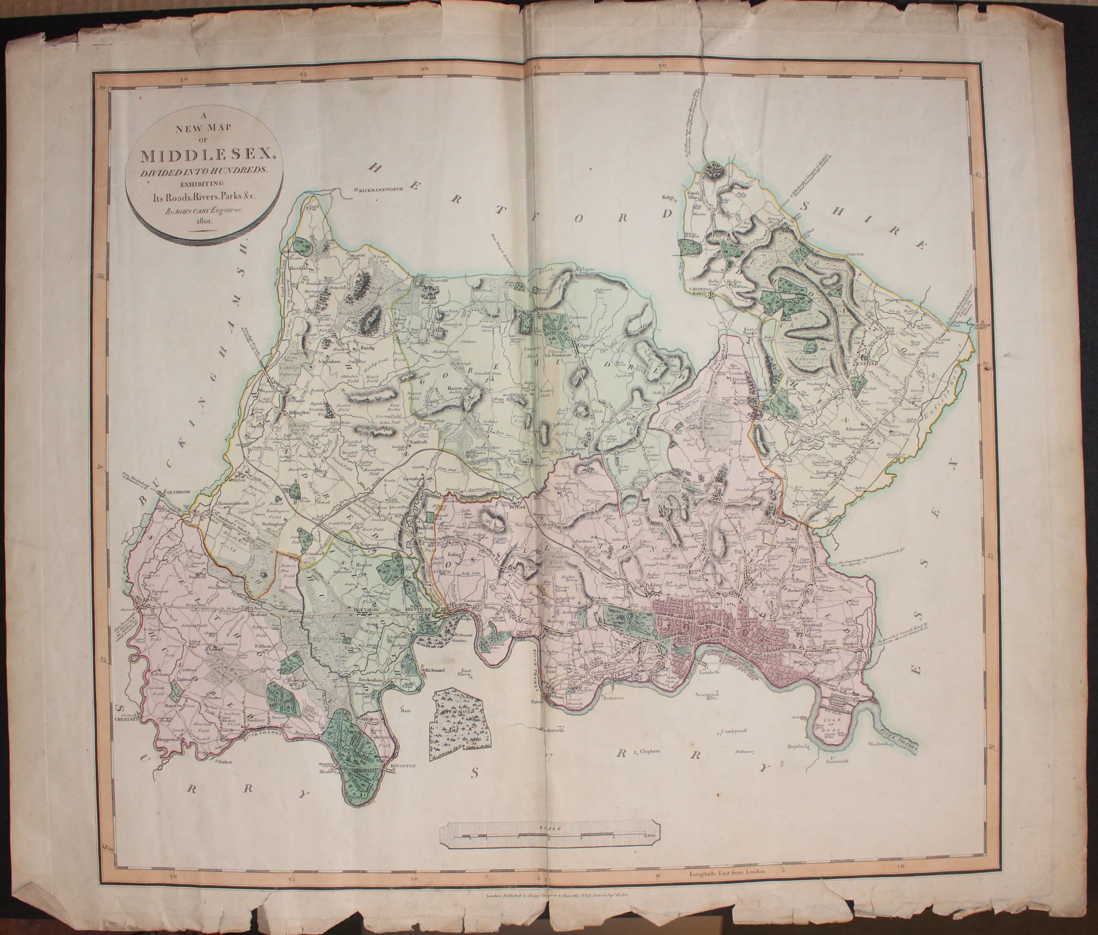
A NEW MAP OF MIDDLESEX DIVIDED INTO HUNDREDS EXHIBITING ITS ROADS, RIVERS, [PARKS &c. BY JOHN CARY ENGRAVER 1801
A good large engraved map of the county. Oval title panel. Scale. 21 dx 19 inches. Fine original outline and wash hand colouring. 21 x 19 inches. This map provides an interesting restoration project. A number of tears in the bottom blank margin with two extending into the printed border. Some tears in the top blank margin with one extending three inches into the map area. Some creasing. Ample wide blank margins to provide some paper to carry out the repairs.
From: New English Atlas
18th Century - First Edition
-

Middlesex, Robert Morden 1695
33492 Middlesex, Robert Morden 1695. Price: 125.00
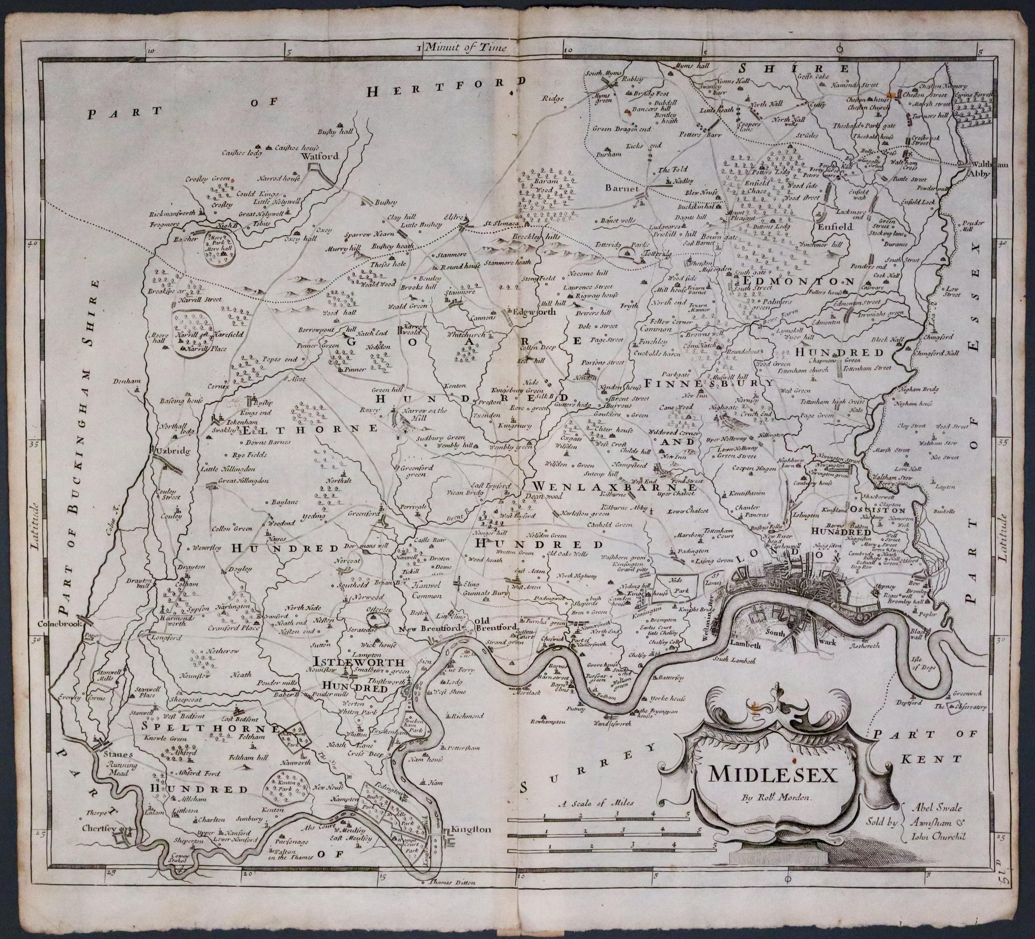
MIDDLESEX BY ROBT. MORDEN
The FIRST EDITION of this late 17th century engraved county map embellished with a decorative title cartouche. Three scales. Imprint of the publishers Abel Swale with Awnsham and John Churchill. 16 x 14 inches, 425 x 365 mm. Uncoloured. 2 inch split at the bottom of the centre fold otherwise good condition. Small blank margins which is common with the first edition. This map has been taken straight from the atlas and therefore not previously offered for sale as a single map. One of the first maps of the county to show the main coach roads following Ogilby’s survey some 20 years earlier.
From: Camden's Britannia


