Richard Nicholson of Chester
A World of Antique Maps and Prints
Established in 1961
A USEFUL JOHN OGILBY ROUTE CHECKER
The First Road Maps of England and Wales published in 1675 and 1698
- Bedfordshire. 21, 41, 45, 47, 61, 80
- Berkshire. 10, 14, 15, 79, 81, 83
- Buckinghamshire. 12, 14, 21, 80
- Cambridgeshire. 5, 43, 46, 61, 73, 80
- Cheshire. 23, 57, 63, 89, 90, 98
- Cornwall. 28, 34, 69
- Cumberland. 38, 62, 86, 96
- Derbyshire. 40, 48, 82, 90
- Devon. 27, 33, 34, 58, 65, 68, 69, 94
- Dorsetshire. 26, 53, 60, 83, 94, 97
- County Durham. 8, 9, 99
- Essex. 19, 54, 75, 92, 93
- Gloucestershire. 13, 15, 44, 55, 56, 59, 70, 71, 79, 85
- Hampshire. 25, 26, 30, 32, 39, 51, 53, 81, 97
- Herefordshire. 1, 2, 56, 71, 72
- Huntingdonshire. 5, 6, 36, 41, 45, 61, 73
- Kent. 18, 20, 31, 93
- Lancashire. 37, 38, 88, 89, 90
- Leicestershire. 40, 48, 72, 82
- Lincolnshire. 6, 36, 41, 42, 78
- Middlesex. 5, 10, 12, 14, 18, 21, 25, 29
- Norfolk. 43, 46, 52, 54, 74, 75, 76
- Northamptonshire. 6, 12, 21, 22, 40, 41, 45, 47, 61
- Northumberland. 9, 62, 86, 99,
- Nottinghamshire. 6, 7, 48, 78
- Oxfordshire. 1, 12, 13, 55, 79, 80, 82, 83, 85
- Rutlandshire. 6, 45, 47, 48
- Shropshire. 44, 50, 57, 98
- Somerset. 11, 26, 27, 32, 33, 35, 58, 59, 60, 65, 71
- Staffordshire. 22, 23, 37, 50
- Suffolk. 46, 52, 54, 73, 74, 92
- Surrey. 20, 25, 29, 30, 39, 51
- Sussex. 29, 31, 39, 81
- Warwickshire. 13, 22, 50, 61, 70, 72, 82
- Westmorland. 38
- Wiltshire. 10, 11, 26, 32, 35, 51, 53, 79, 83, 85
- Worcestershire. 1, 13, 44, 59, 72
- Yorkshire. 7, 8, 42, 48, 49, 88, 89, 95, 99, 100
- Anglesey. 24
- Breconshire. 64, 77, 84
- Caernarvonshire. 24, 87
- Cardiganshire. 2, 66, 91
- Carmarthenshire. 17, 77, 84, 91
- Denbighshire. 24, 63, 67, 98
- Flintshire. 24, 67, 98
- Glamorganshire. 16, 17, 64
- Merionethshire. 67, 87, 96
- Monmouthshire. 16, 56, 77
- Montgomeryshire. 44, 50, 63, 67, 71, 87
- Pembrokeshire. 17, 66, 91
- Radnorshire. 2, 64, 71, 84
- Scotland. 62

A must read
for the lover of Maps, Roads and History
-

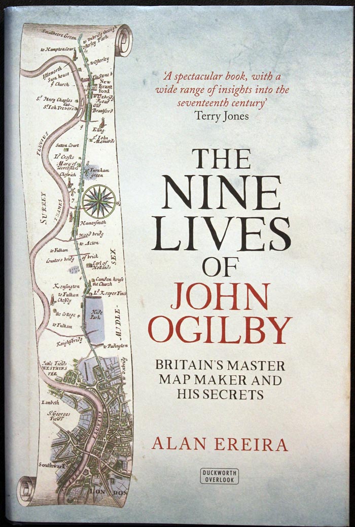
The Nine Lives of John Ogilby by Alan Ereira
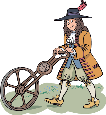
I was 19 when I got hooked on antique maps. There are quite a few of the early cartographers who we know a bit about about and their life stories make interesting reading. There is one English mapmaker who stands out as someone rather special who appears to have had a most interesting life. He is JOHN OGILBY. Yes you know he was the first to map the roads of England and Wales and yes you might have read that he had an interest in dancing. If you want to know more about the man who created that 17th century map hanging on your wall then you must read this book published in 2016 - The Nine Lives of John Ogilby by Alan Ereira. In this book the author brings a fascinating hidden history to light, and reveals that Ogilby's celebrated Britannia is far more than a harmless road atlas: it is, rather, filled with secrets designed to serve Charles II's sinister purpose.


