Antique Maps of Staffordshire
Richard Nicholson of Chester
A World of Antique Maps and Prints
Established in 1961
All the Maps on this page are guaranteed to be genuine early specimens
published in or around the year stated
18th Century - County and Road Map
-

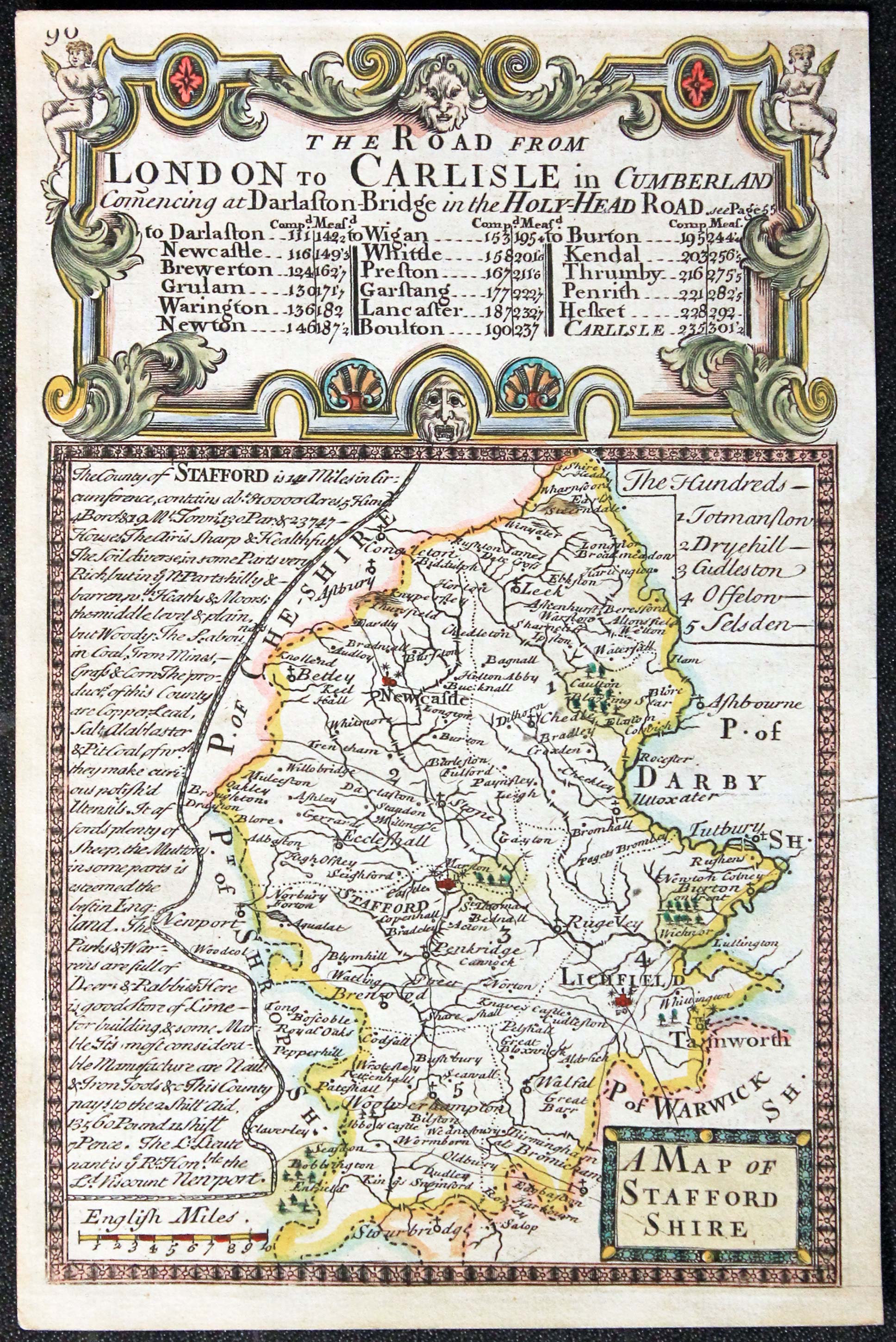
Staffordshire, Owen/Bowen, 1755

15314 Staffordshire John Owen / Emanuel Bowen, 1731. Price: 37.00
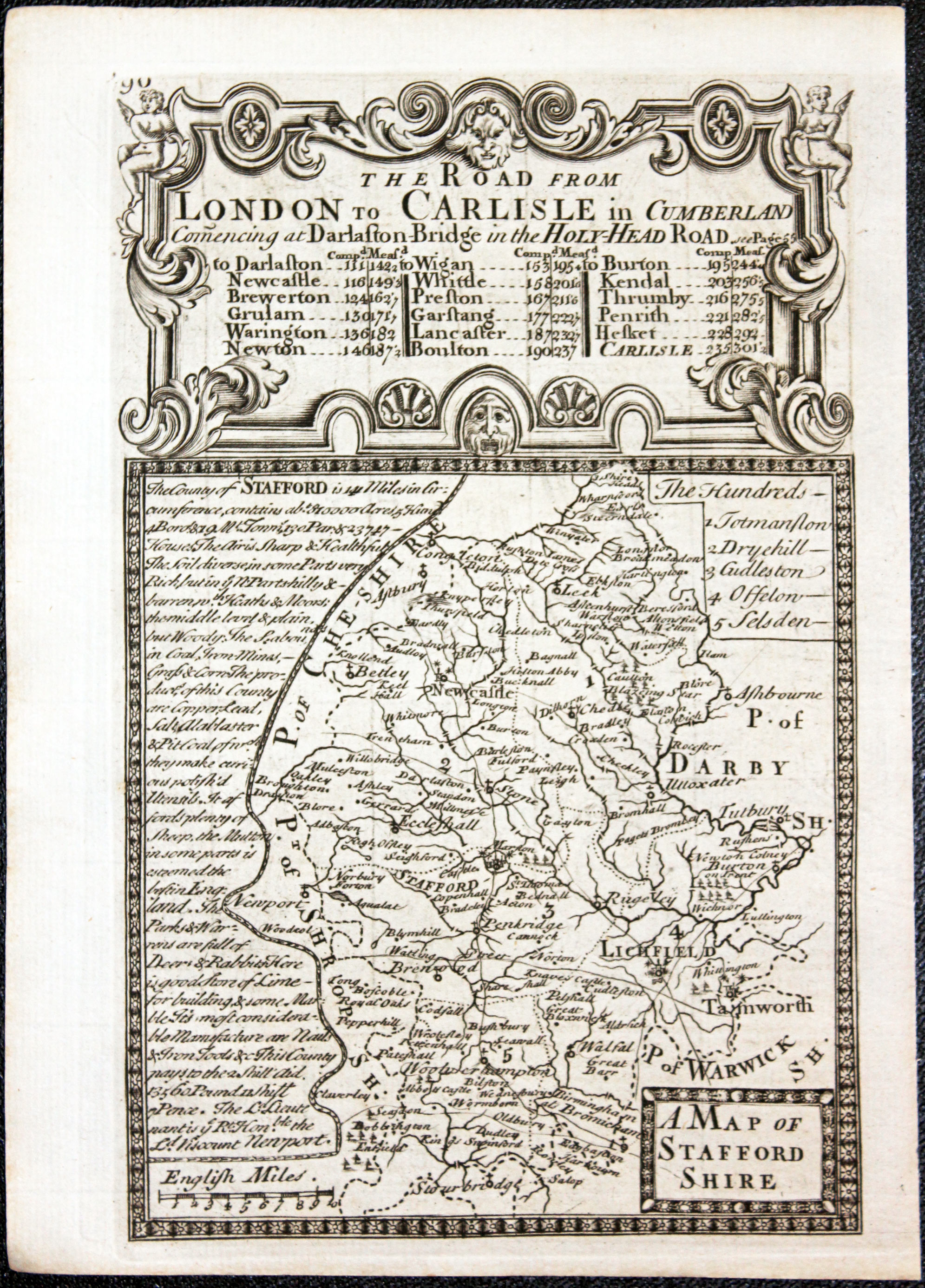
A MAP OF STAFFORD SHIRE
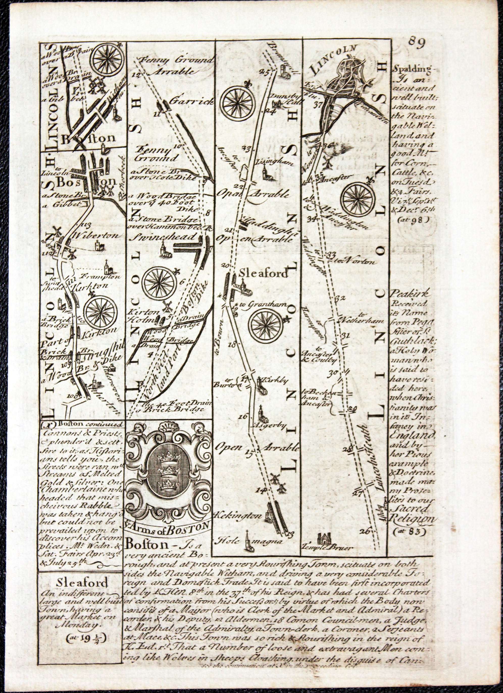
County map with description, surmounted by a decorative cartouche. Road map on verso from Boston to Lincoln with coat of arms and notes. 4 x 7 inches. Hand coloured on both sides. Good condition.
From: Britannia Depicta
18th Century
-

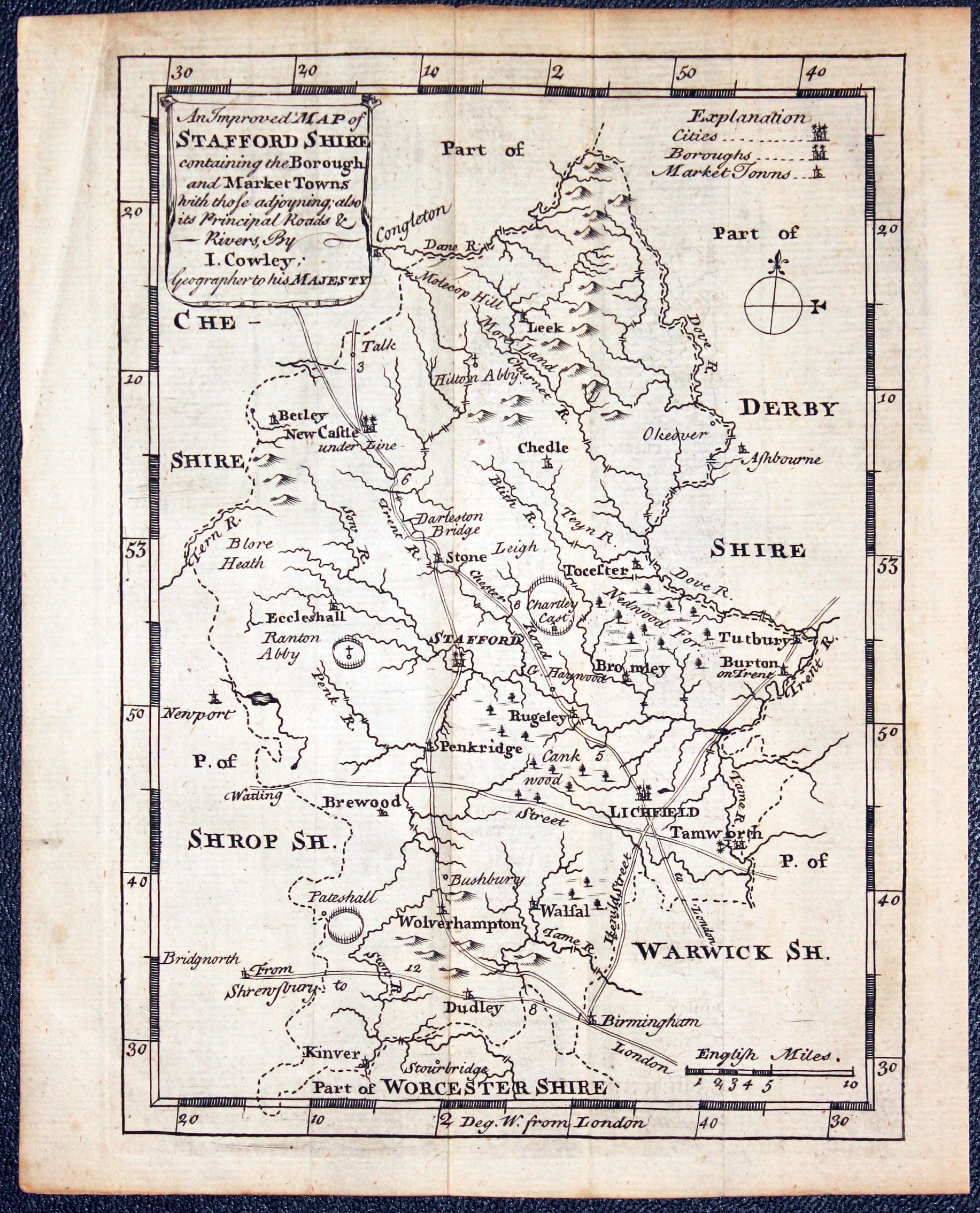
Map of Staffordshire by John Cowley, c.1745

22878 Staffordshire, John Cowley, c.1745. Price: 42.00
AN IMPROVED MAP OF STAFFORDSHIRE CONTAINING THE BOROUGH AND MARKET TOWNS ....
An engraved county with tile banner, explanation, compass pointer and scale. 5 1/4 x 7 1/4 inches. Uncoloured. Original vertical fold line. Good clean condition.
From Either: The Geography of England or A New Set of Pocket maps published by Robert Dodsley
For the Collector
-

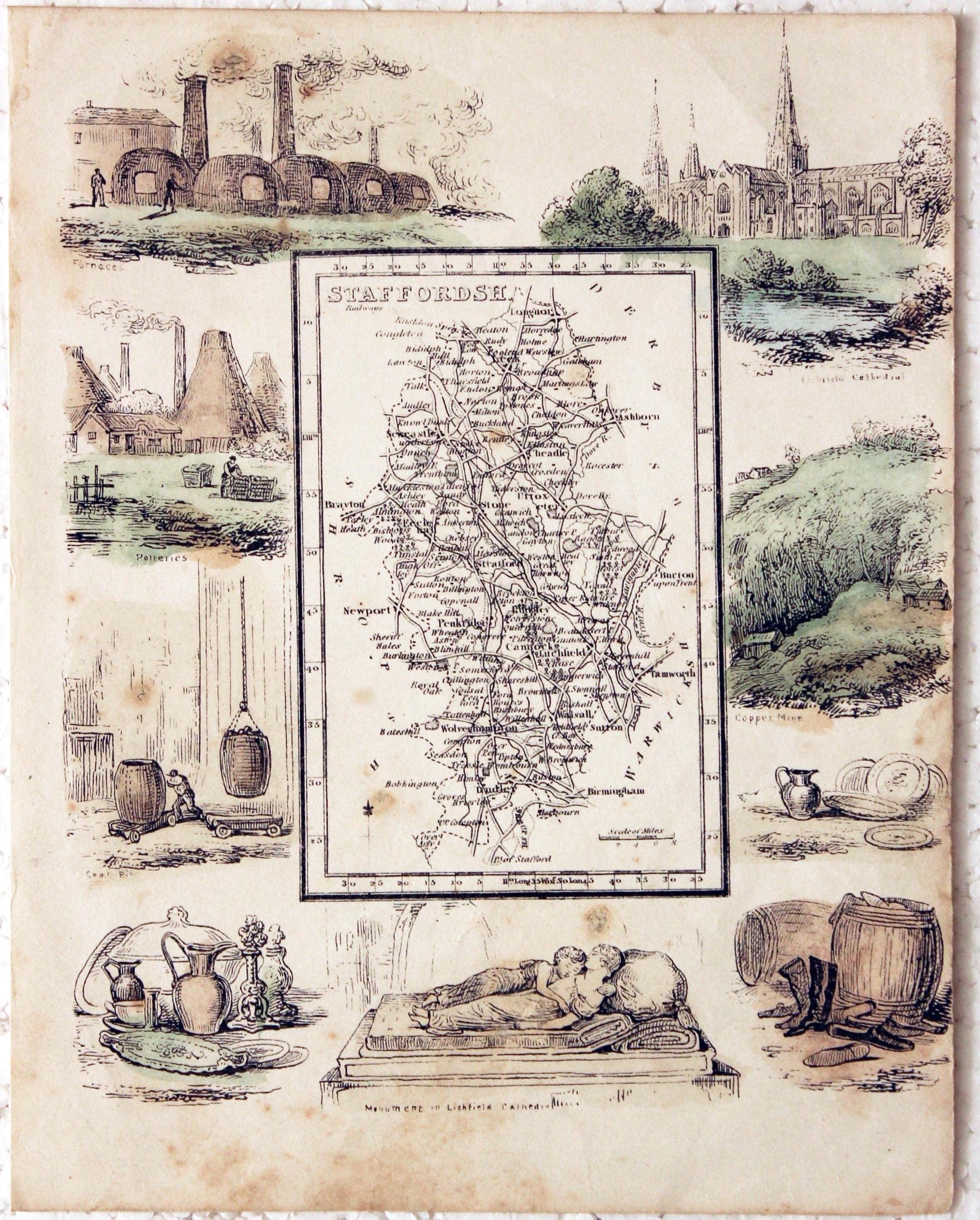
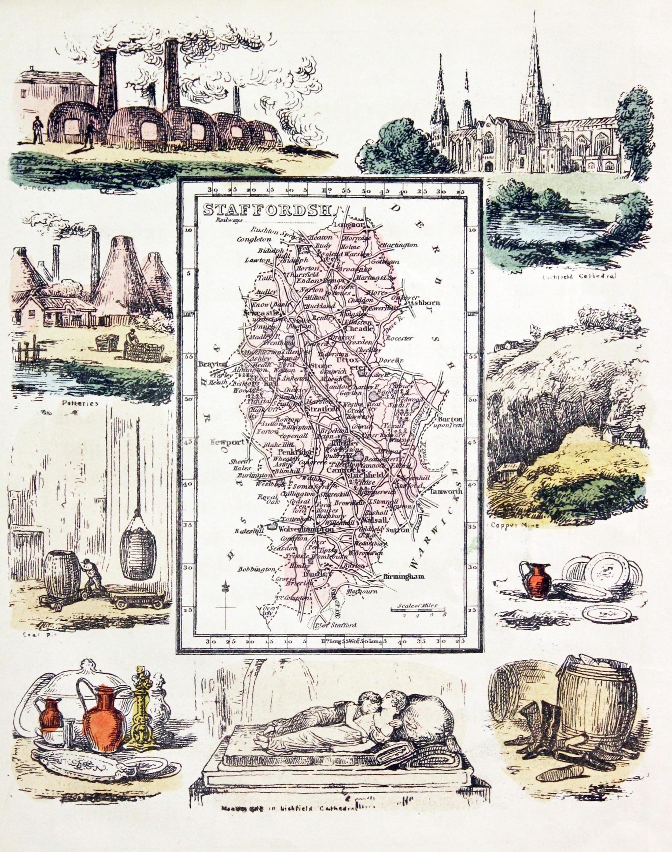
Staffordshire, Reuben Ramble, c.1845

24723 Staffordshire, Reuben Ramble, c.1845. Price: 43.00
STAFFORDSH
A small uncoloured engraved map of the county surrounded by a wide pictorial border featuring Lichfield Cathedral, Furnace, Potteries and Copper Mine. 6 x 7 inches. Original hand colouring to the surrounding scenes. No blank margin on the right hand side. A little light foxing.
From: Reuben Ramble's Travels in the Northern Counties of England
18th Century - With Original Text
-
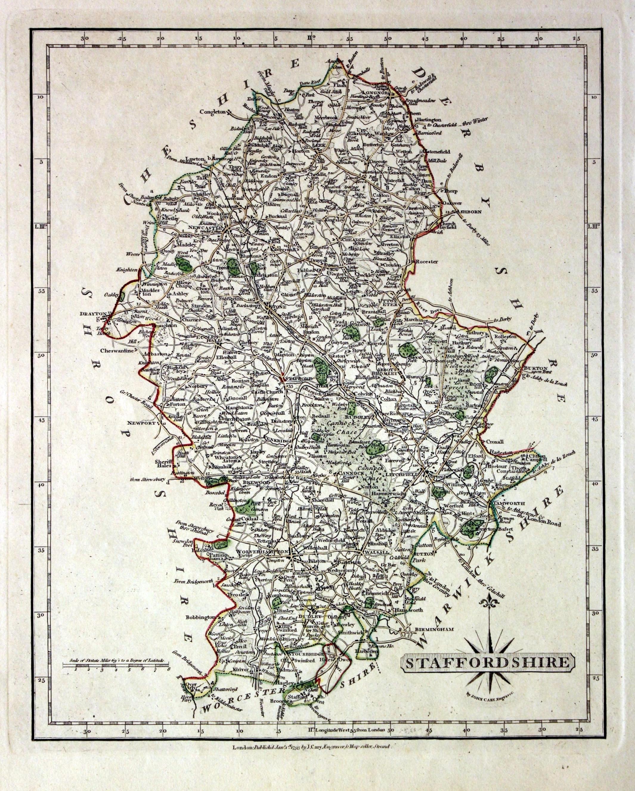
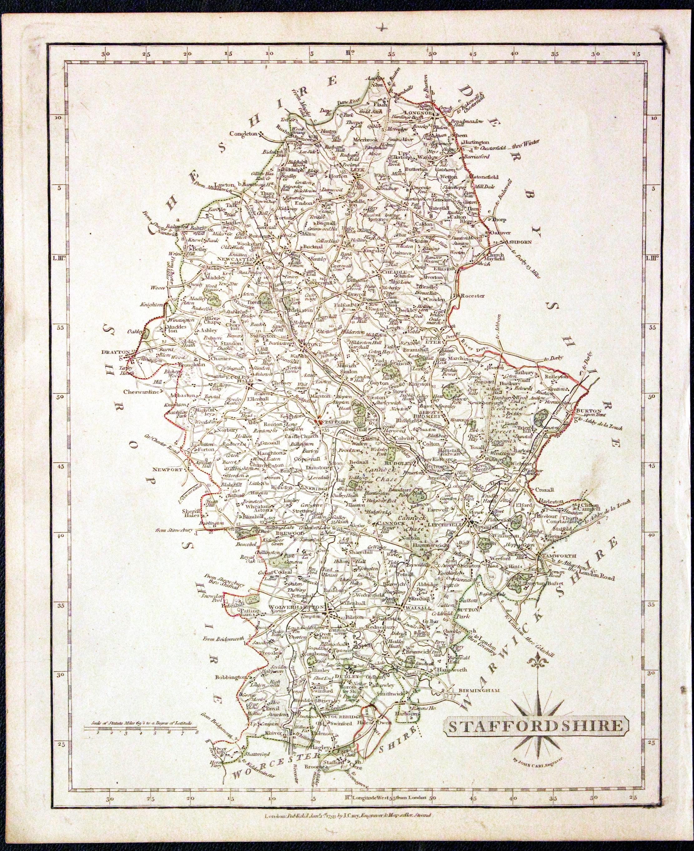
Staffordshire, John Cary, 1793

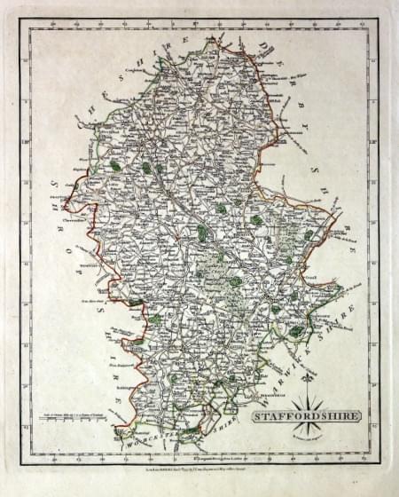
29342 Staffordshire, John Cary, 1793. Price: 48.00
STAFFORDSHIRE
A detailed engraved map of the county. Title panel and compass rose combined. Cary's imprint dated 1793 beneath the map. 8 1/4 x 10 1/4 inches. Original outline hand colouring. With the original page of descriptive text which has been cut down but stills shows all the text. Good clean undamaged condition.
From: New and Correct English Atlas
Early 19th Century - Original Hand Colouring
-

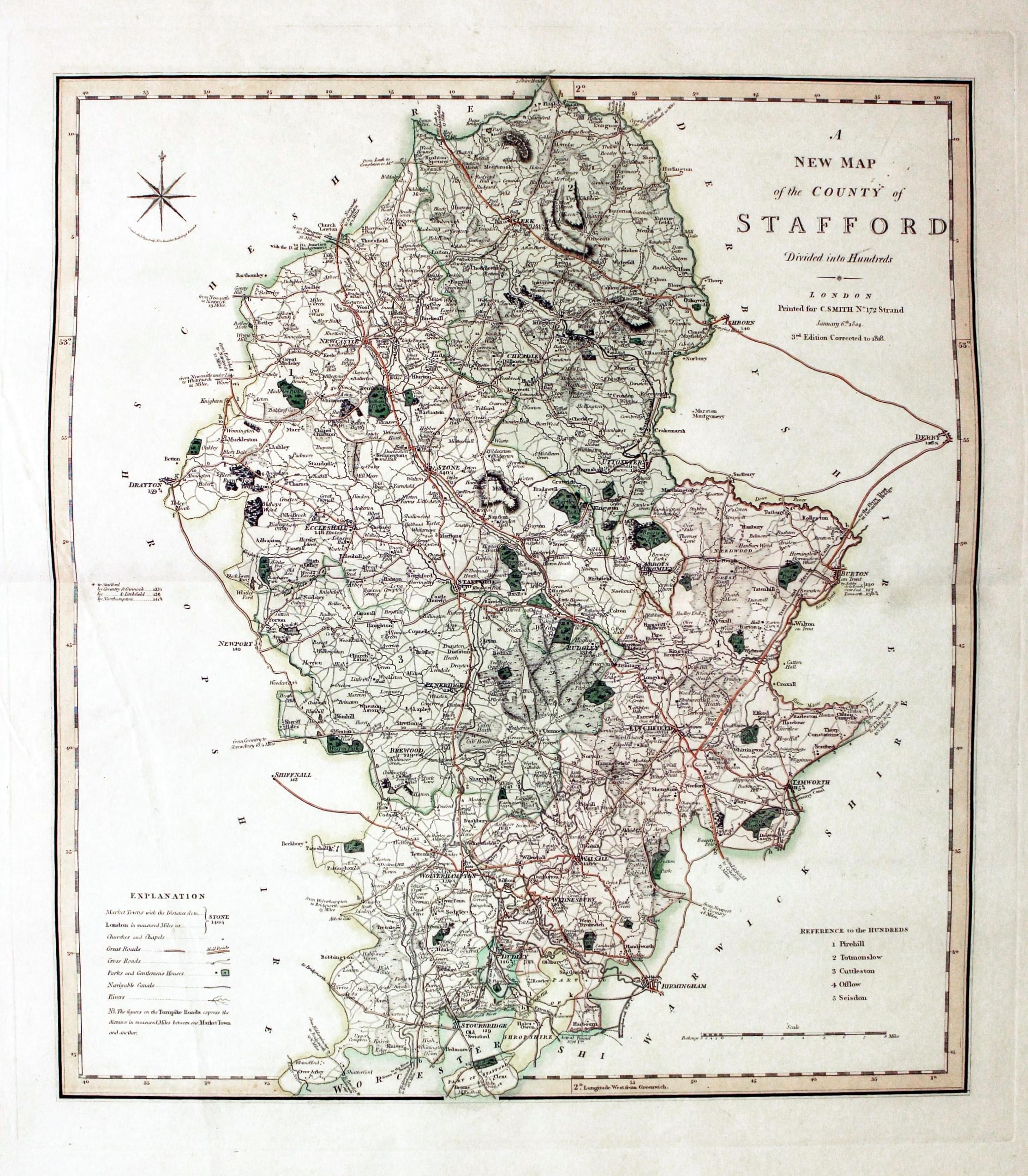
Staffordshire, Charles Smith, 1818

29588 Staffordshire, Charles Smith, 1818. Price: 70.00
A NEW MAP OF THE COUNTY OF STAFFORD DIVIDED INTO HUNDREDS. LONDON PRINTED FOR FOR C. SMITH, NO. 172 STRAND January 6th 1818. 3rd Edition Corrected to 1818
A fine detailed map of the county with compass rose, explanation and list of hundreds. 17 1/2 x 19 1/2 inches. A little light creasing on the left hand side of the map otherwise good condition with fine original outline and wash hand colouring.
From: Smith’s New English Atlas
18th Century - Early Hand Colouring
-
Staffordshire, John Cary, 1793

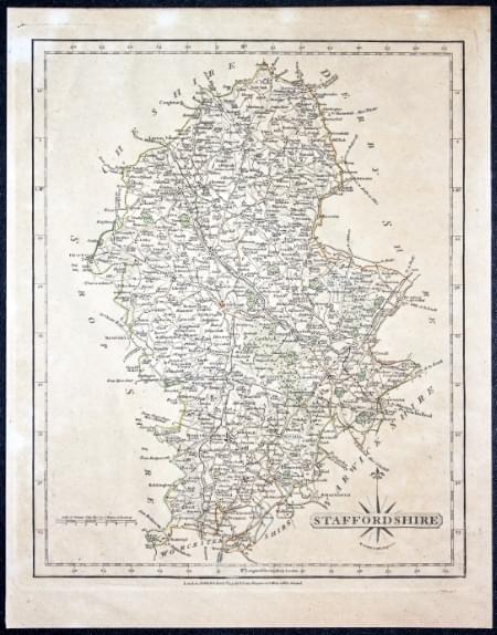
29807 Staffordshire, John Cary, 1793. Price: 27.00
STAFFORDSHIRE
A detailed engraved map of the county. Title panel and compass rose combined. Cary's imprint dated 1793 beneath the map. 8 1/4 x 10 1/4 inches. Original outline hand colouring. Lightly toned all over. Map has been removed from being framed and I found the paper quite stiff and with some slight coggling.
SPECIAL PRICE
From: New and Correct English Atlas
Early 19th Century - Original Hand Colouring
-

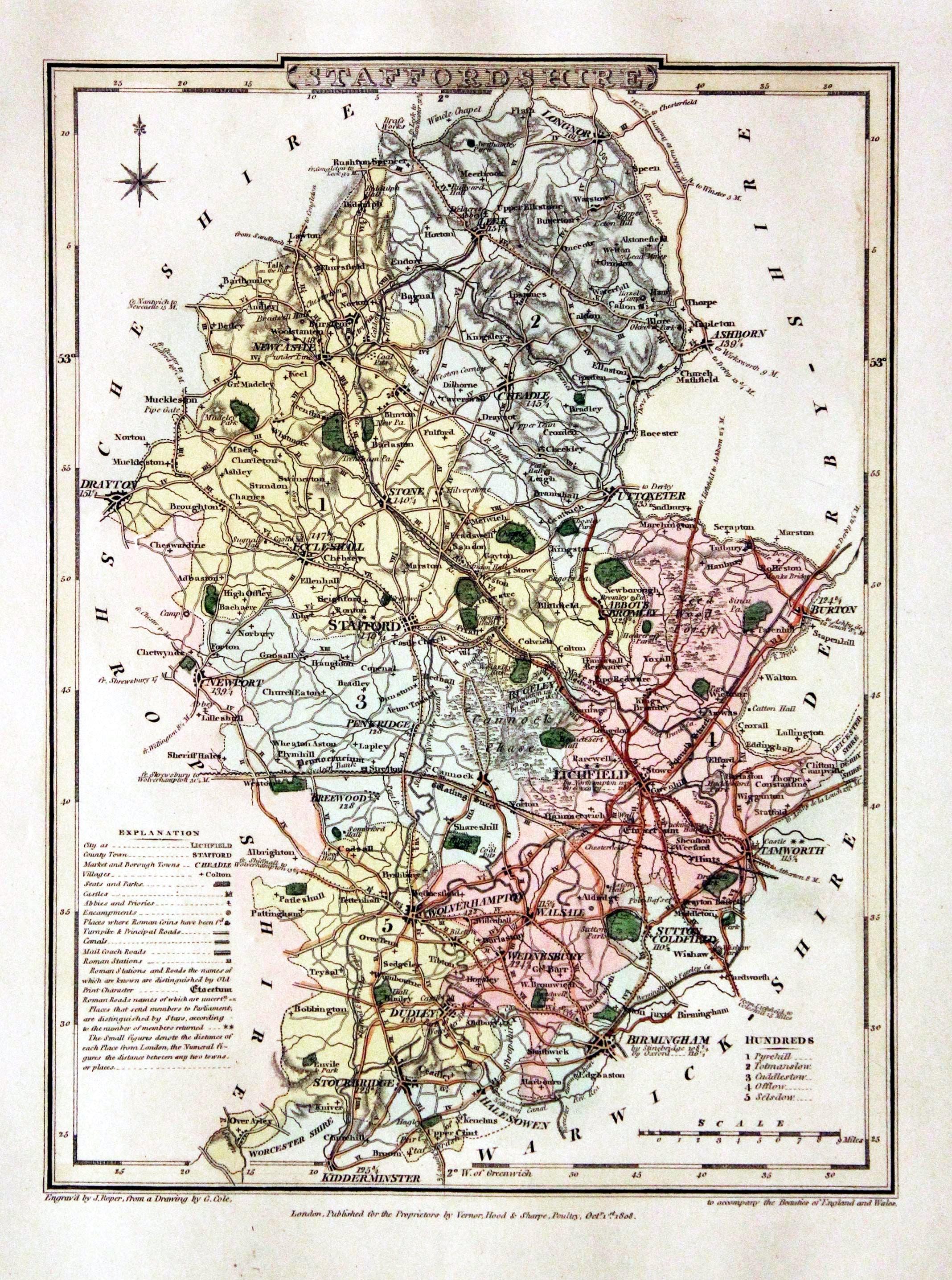
Staffordshire, George Cole and John Roper, 1810

30056 Staffordshire, George Cole and John Roper, 1810. Price: 40.00
STAFFORDSHIRE
A detailed map of the county engraved by J. Roper from a drawing by G. Cole. Publishers imprint beneath dated 1808. Publishers imprint beneath dated 1808. Explanation and list of hundreds. Compass rose. 6 3/4 x 9 1/4 inches. Original wash colouring colouring. Fine condition with wide blank margins. Straight from the atlas and not sold as a single map before.
From: The British Atlas
19th Century - Early Hand Colouring
-

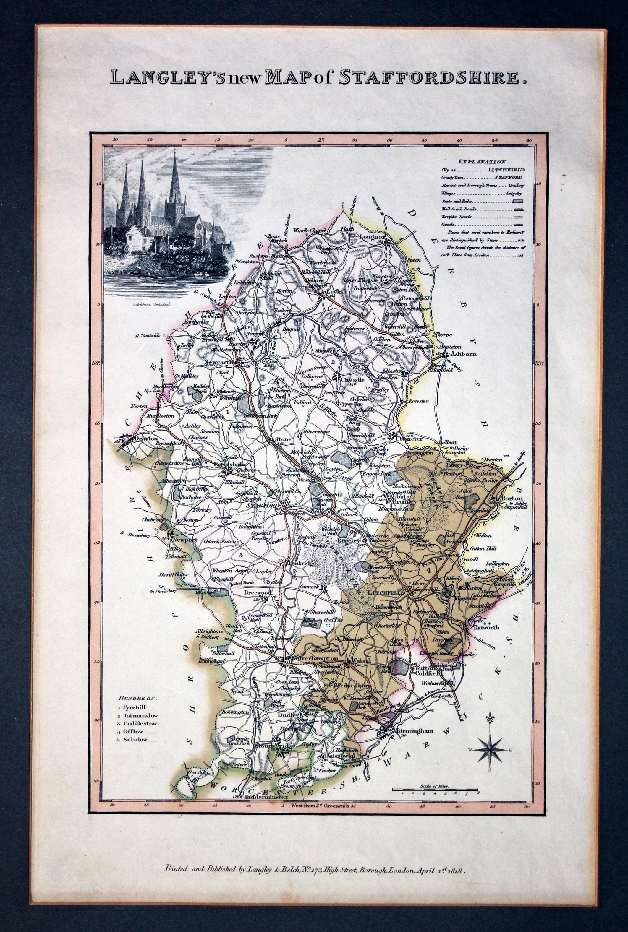
Staffordshire, Edward Langley, 1818

30108 Staffordshire, Edward Langley, 1818. Price: 66.00
LANGLEY'S NEW MAP OF STAFFORDSHIRE
A detailed engraved map with explanation and list of hundreds. The map is embellished with a vignette view of Lichfield Cathedral. Imprint of Langley and Belch dated 1818 below. 6 3/4 x 10 inches. Original outline and hand wash colouring. Good condition. Presented in a dark green sunk mount.
From: Langley's New County Atlas
19th Century - Early Hand Colouring
-
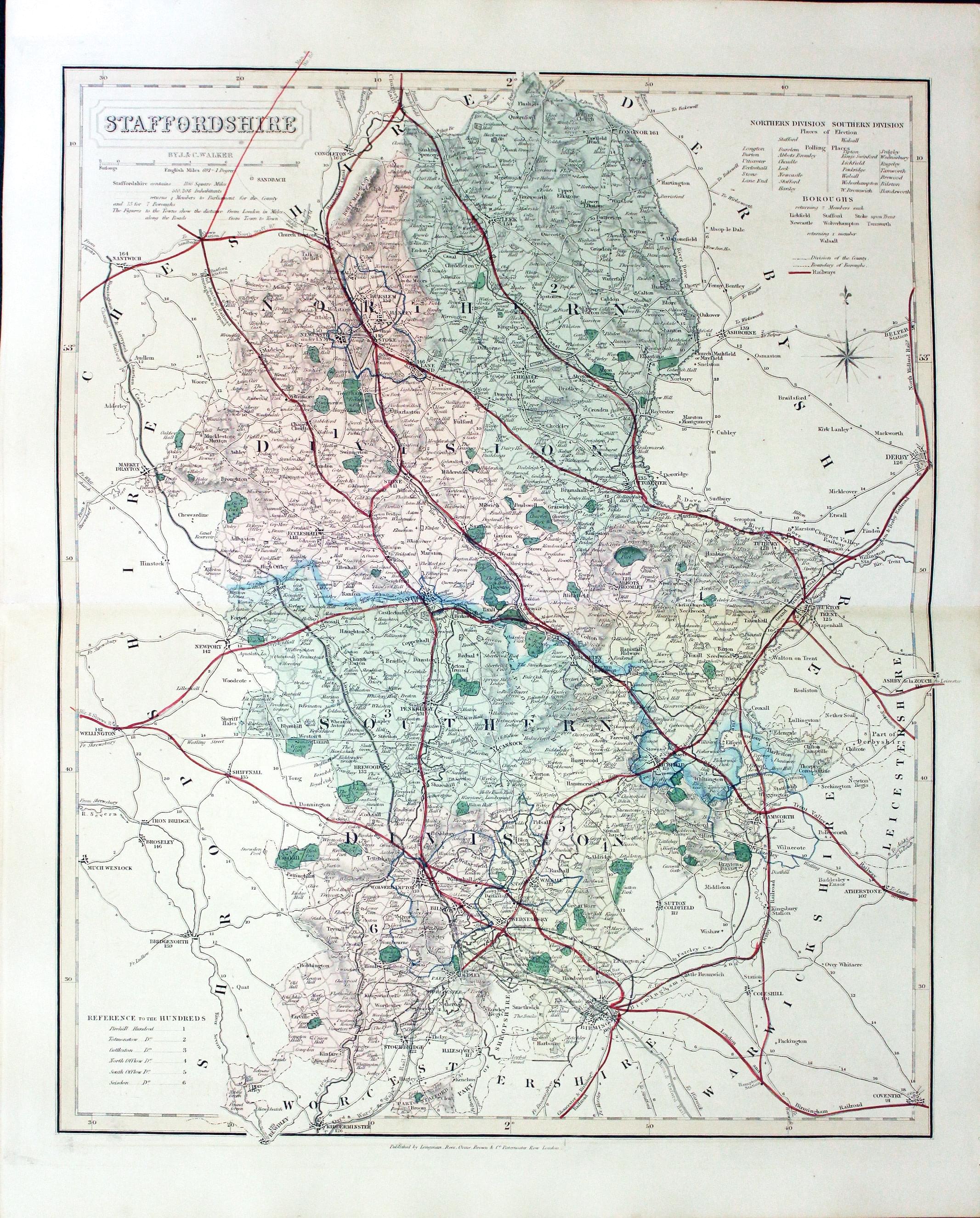
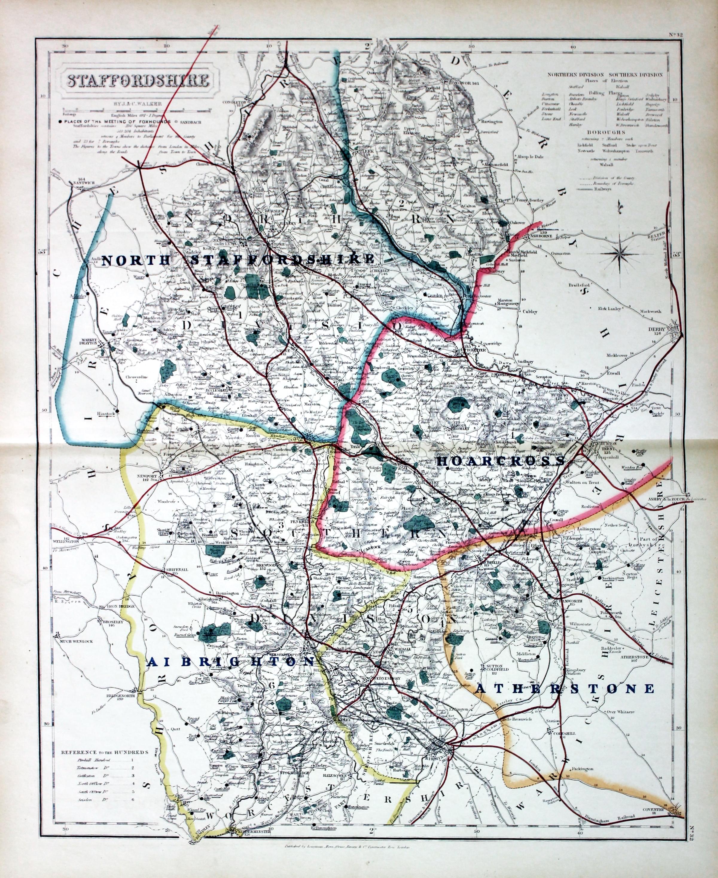
Staffordshire, John and Charles Walker, 1851

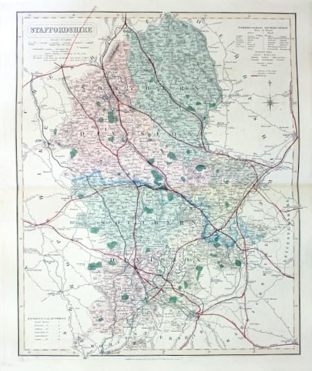
30240 Staffordshire, John and Charles Walker, 1851. Price: 46.00
STAFFORDSHIRE
A good detailed engraved map of the county including the railways. Title panel with the names of J. & C. Walker beneath. Scale and explanation. List of divisions. Original outline and wash hand colouring. Imprint of Longman, Rees, Orme, Browne & Co. Paternoster Row beneath. 12 1/2 x 15 1/2 inches. Good condition. This map has been taken from the atlas and not been offered before as a single map.
From: The British Atlas
18th Century - Early Hand Colouring
-

Staffordshire, John Cary, 1793

30593 Staffordshire, John Cary, 1793. Price: 48.00
STAFFORDSHIRE
An engraved of the county. Title panel with compass rose. 8 1/4 x 10 1/4 inches. Imprint of the publisher John Cary dated 1793 beneath the map. With this map is the original page of descriptive text relating to the county. Original outline hand colouring. Good clean undamaged condition. Straight from the atlas and not sold as a single map before.
From: Cary's New and Correct English Atlas
Early 19th Century - Original Hand Colouring
-

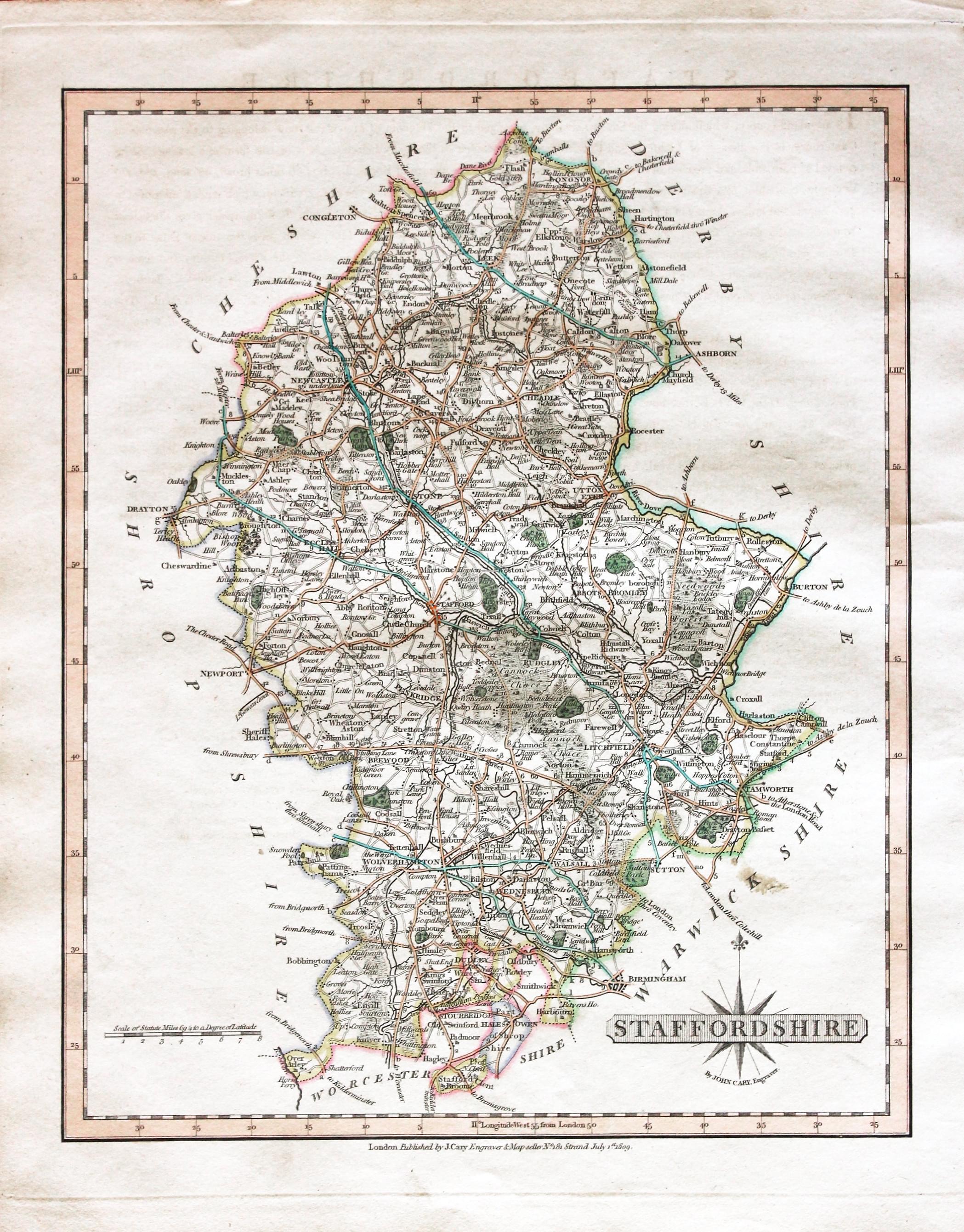
Staffordshire, John Cary, 1809

30723 Staffordshire, John Cary, 1809. Price: 48.00
STAFFORDSHIRE
A good engraved map of the county. Title panel with compass rose. Publisher’s imprint beneath dated 1809. 8 1/4 x 10 1/4 inches. Attractive original outline hand colouring. Good condition. With this map is the original pages of descriptive text. Straight from the atlas and not sold as a single map before.
From: Cary's New and Correct English Atlas
18th Century - Early Hand Colouring
-

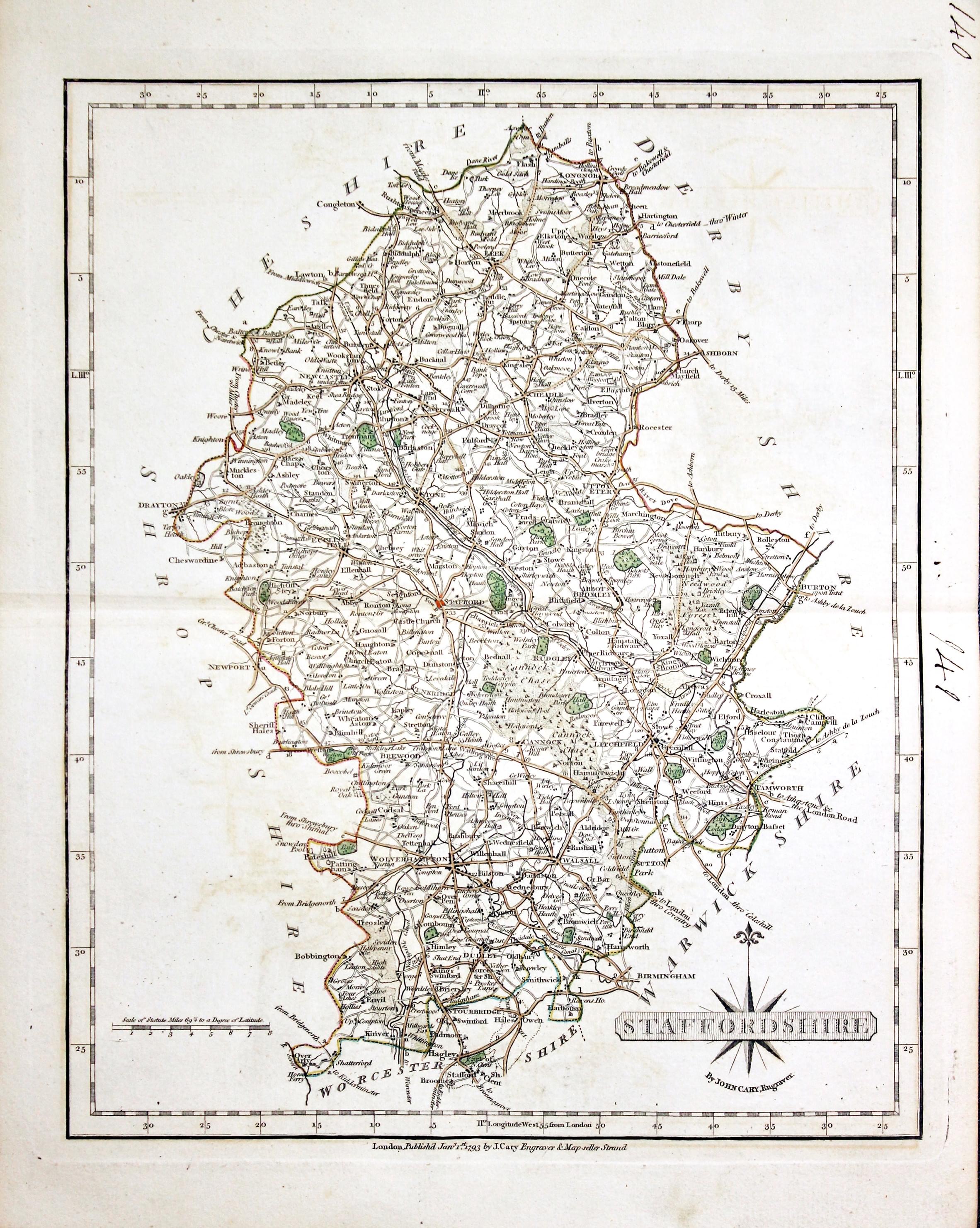
Staffordshire, John Cary 1793

31004 Staffordshire, John Cary 1793. Price: 45.00
STAFFORDSHIRE
A detailed engraved map of the county. Title panel and compass rose combined. Cary's imprint beneath dated 1793. 8 1/4 x 10 1/4 inches. Centre fold. Old manuscript numbering in blank margin 140 and 141. Original outline hand colouring. Good condition.
From: Cary’s New and Correct English Atlastlas
Victorian - Fox Hunting
-
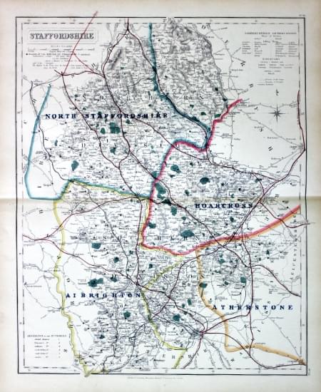
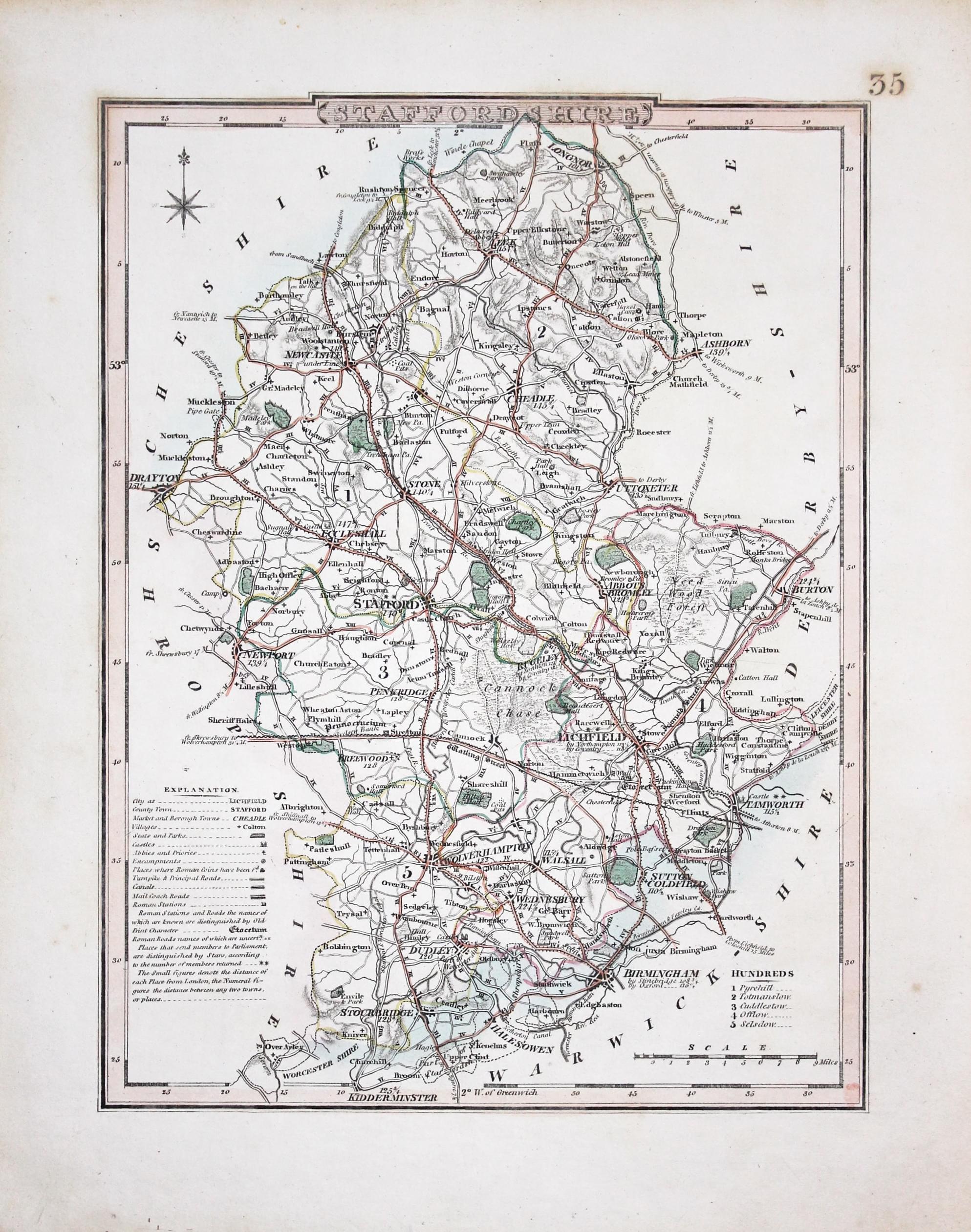
Staffordshire - Fox Hunting, John and Charles Walker, 1851


31061 Staffordshire - Fox Hunting, John and Charles Walker, 1851. Price: 48.00
STAFFORDSHIRE
A good detailed lithograph map of the county from Hobson's Fox Hunting Atlas showing the places of the Meeting of the Hounds. 15 1/2 x 12 1/2 inches. Published by Longman, Rees, Orme, Brown and Co. Paternoster Row, London. Original outline hand colouring. Fine condition. Straight from the atlas so has not been sold as a single map before.
Shows Col Wyndham, Mr. Napper and the Crawley and Horsham
Provenance: George Hayhurst - Royal Fusiliers and Henry H. France
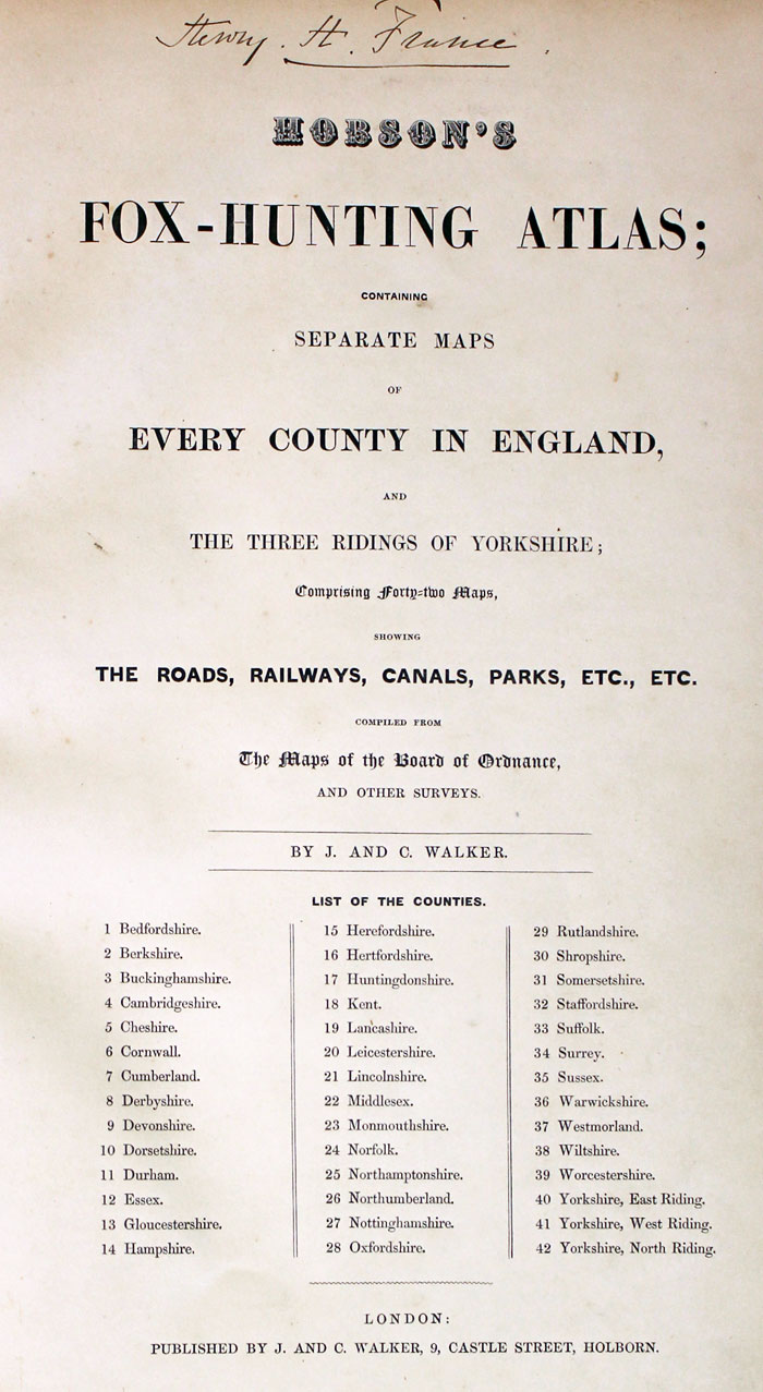
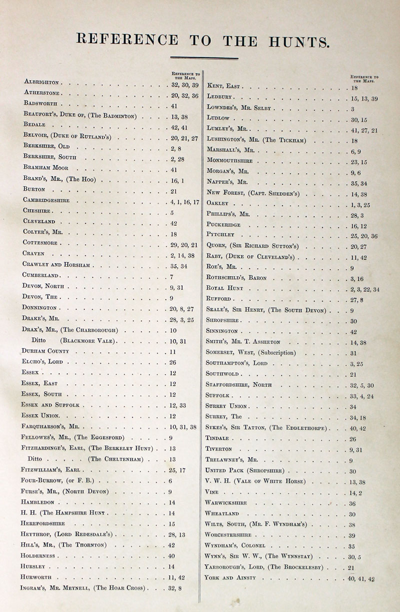
TITLE PAGE AND LIST OF HUNTS
-
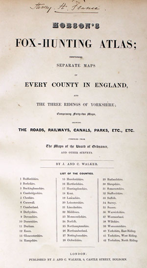
Hobson Fox Hunting Atlas Titlepage
-
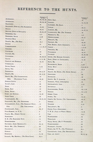
Hobsons Fox Hunting Atlas List of Hunts
For Collection Only
-

Staffordshire, Joseph Nightingale 1816

31125 Staffordshire, Joseph Nightingale, 1816. Price: 42.00
STAFFORDSHIRE
A detailed map of the county engraved by J. Roper from a drawing by G. Cole. No publishers imprint beneath which leads one to assume this is the edition published by Joseph Nightingale. Explanation and list of hundreds. Compass rose. 6 3/4 x 9 1/4 inches. Page number 35 in top right hand margin corner. Original wash colouring colouring. Good condition with wide blank margins.
From: English Topography
18th Century - First Edition
-

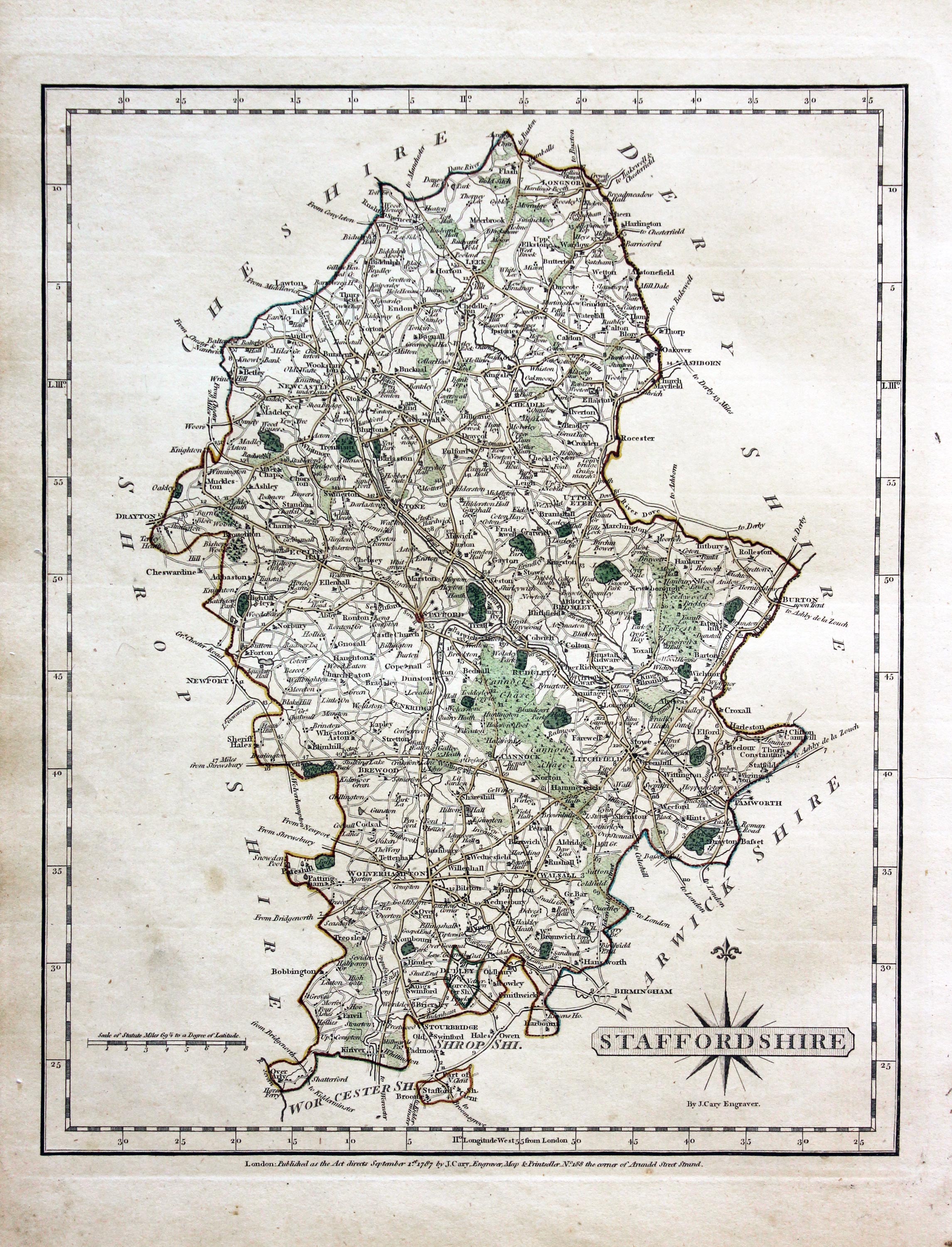
Staffordshire John Cary 1787

31302 Staffordshire, John Cary 1787. Price: 48.00
STAFFORDSHIRE
The FIRST EDITION of this detailed engraved map of the county. Title panel and compass rose combined. Cary's imprint beneath dated 1787. 8 1/4 x 10 1/4 inches. Original outline hand colouring. Good condition. With this map is the original page of descriptive text.
From: Cary’s New and Correct English Atlas
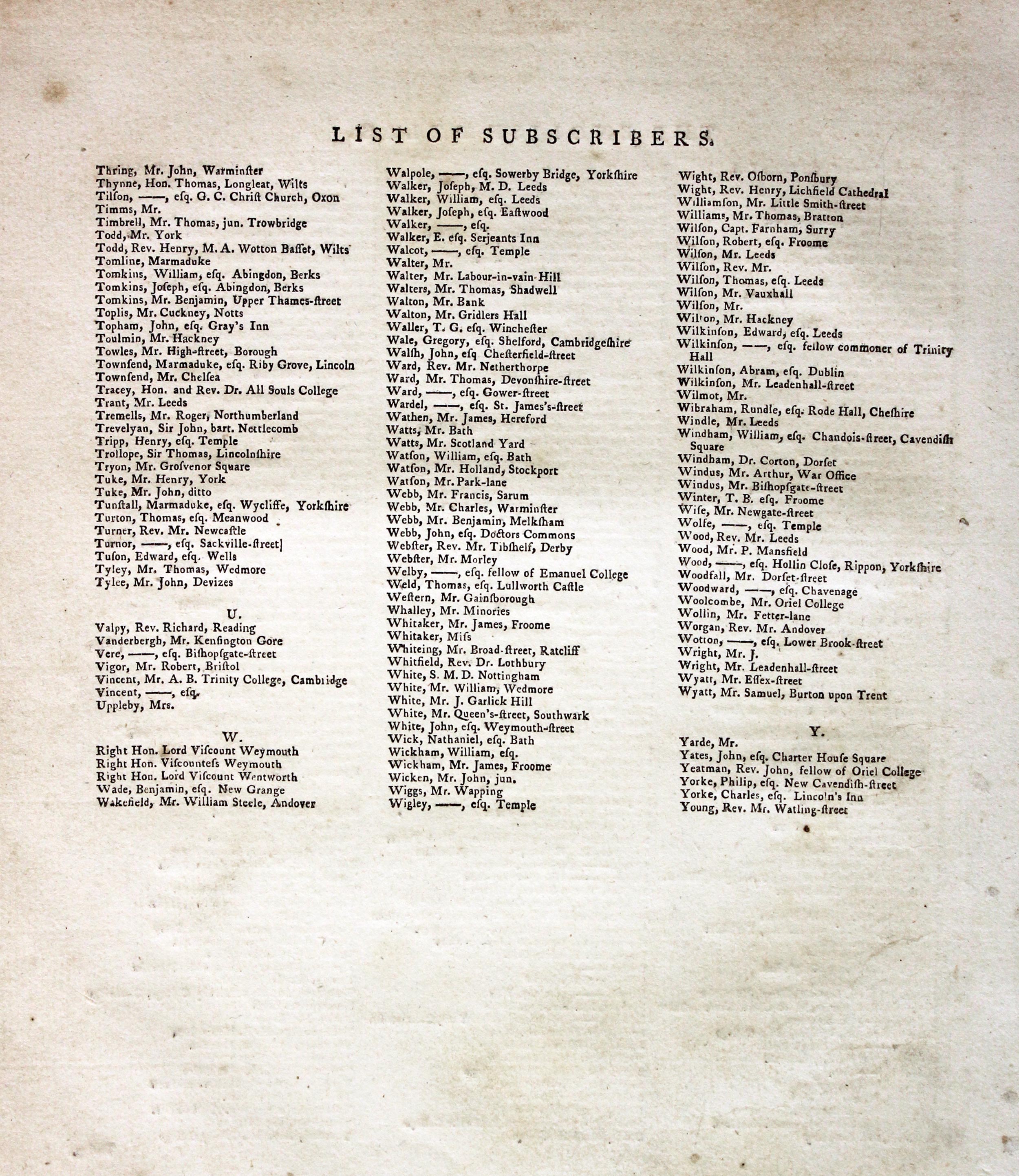
Subcribers to the First Edition
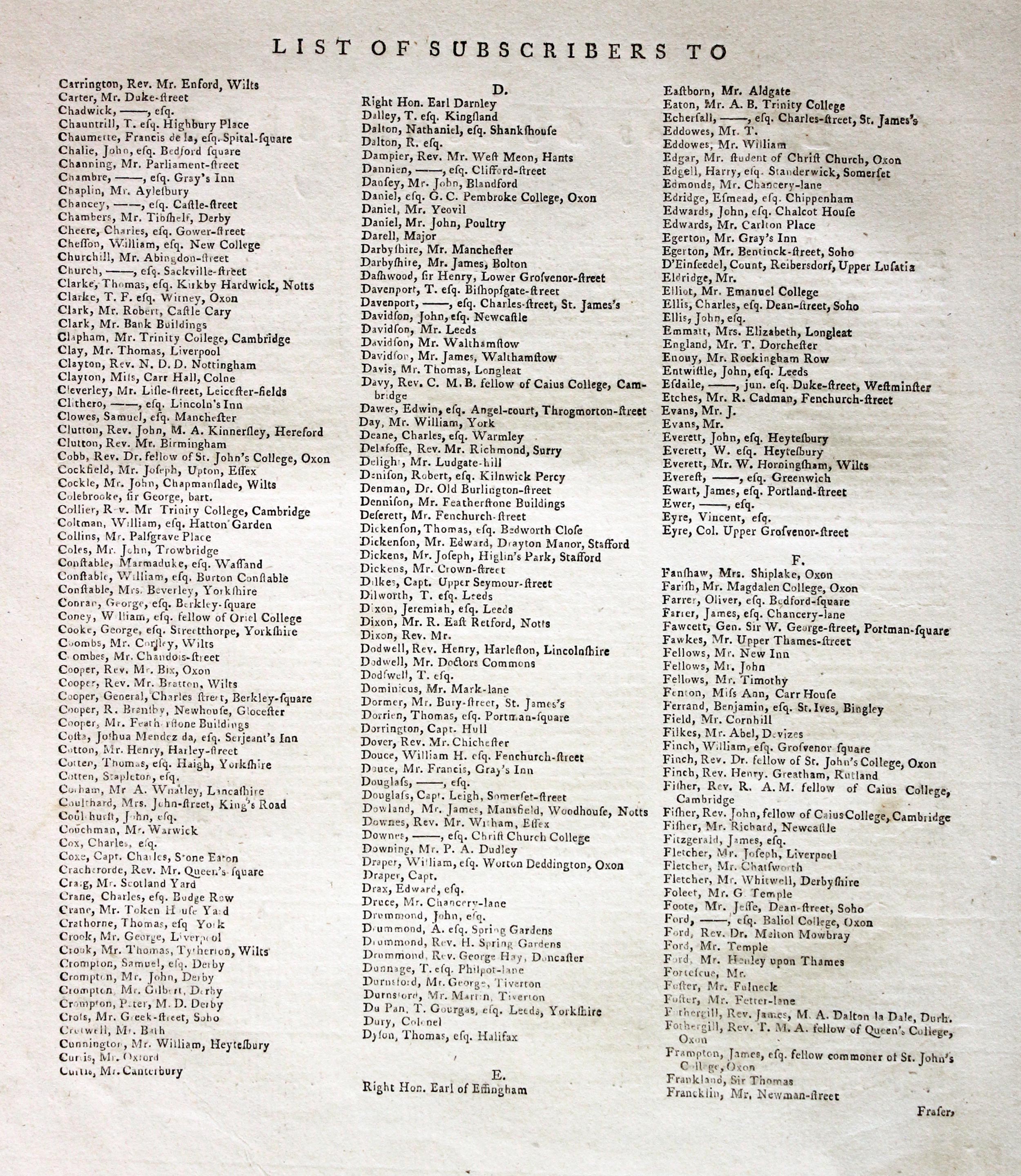
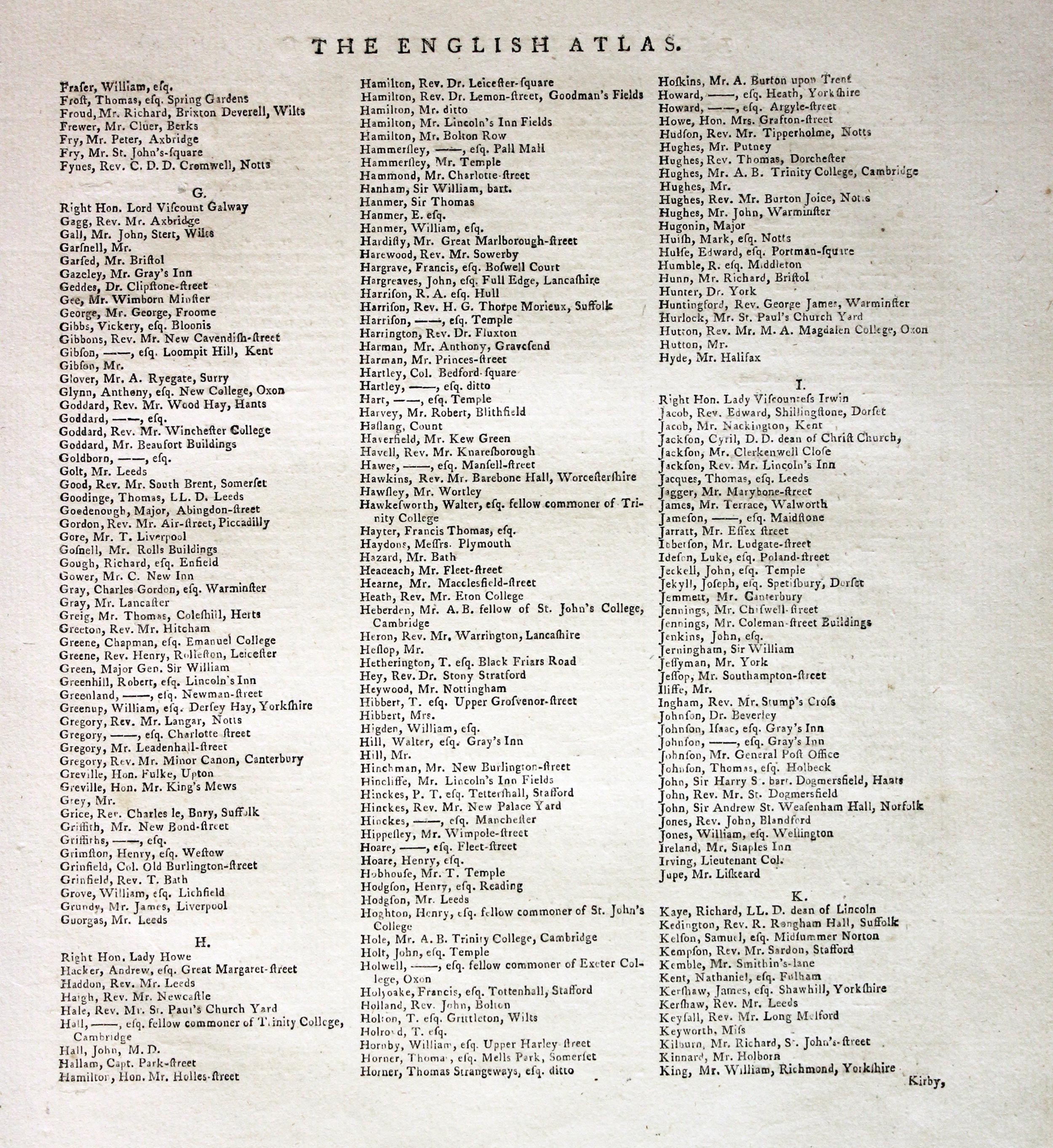
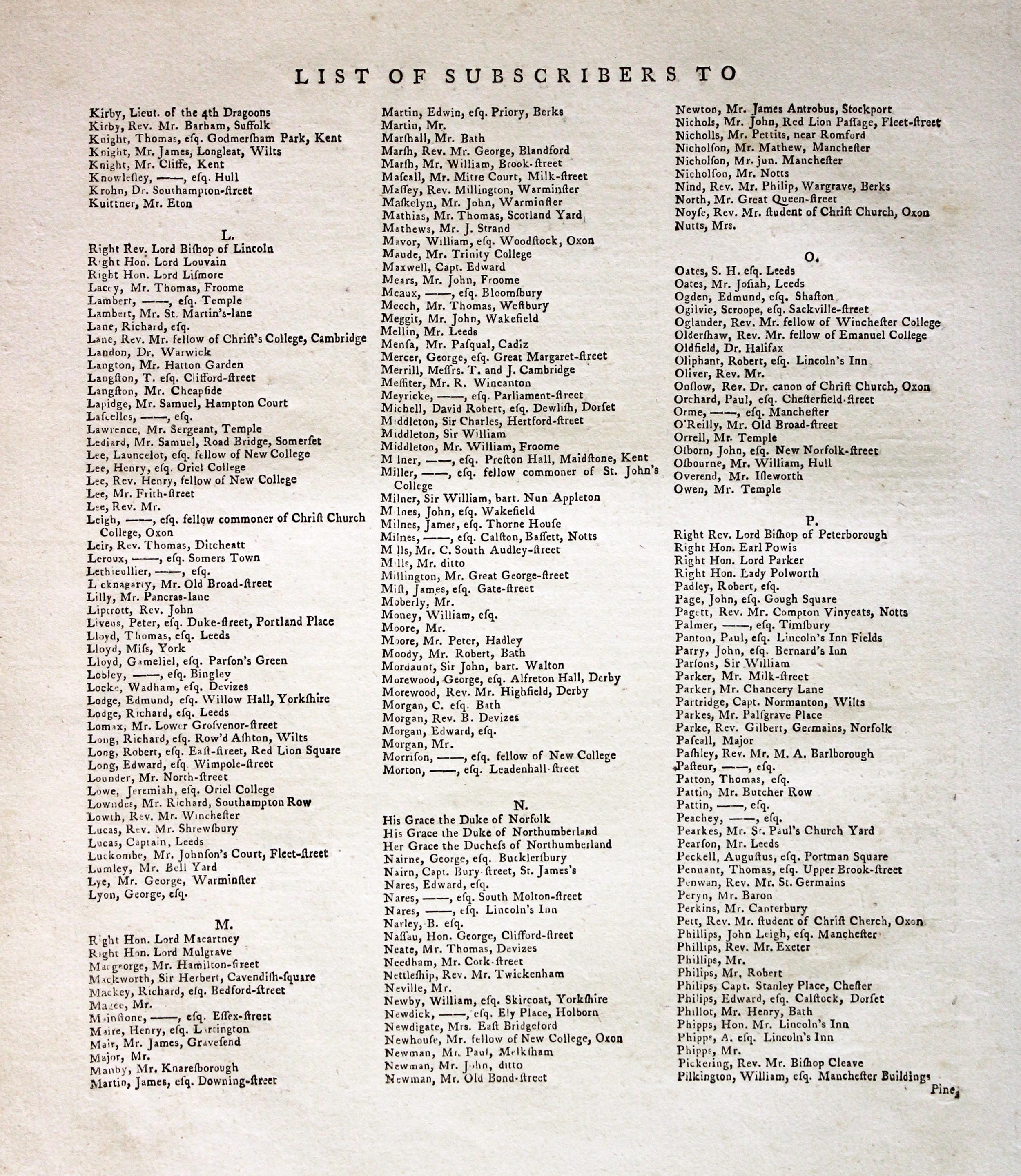
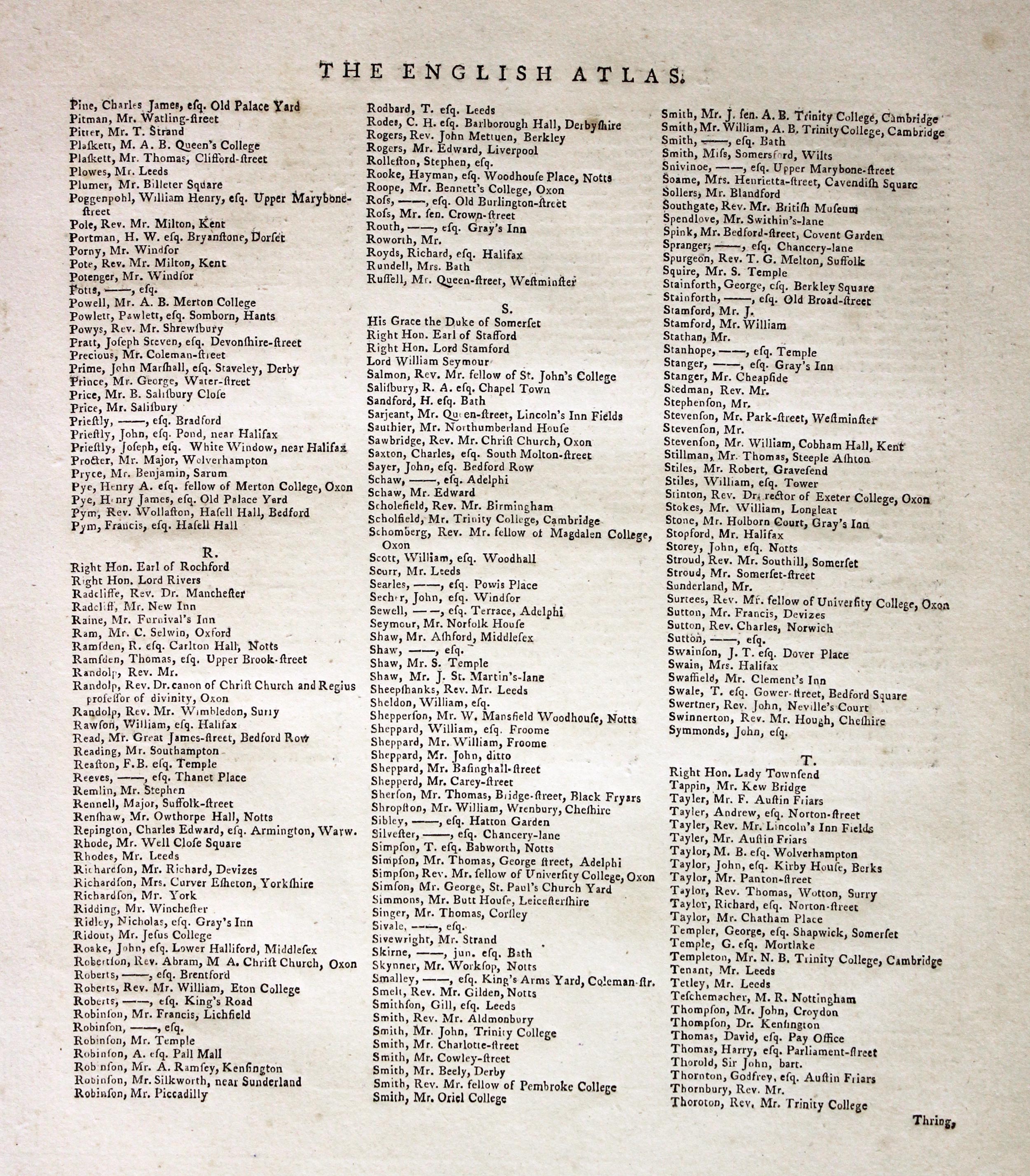
If you are thinking of buying this map you may be interested to see this list of the original subscribers to Cary's New and Correct English Atlas first published in 1787. It makes interesting reading and might even include one of your relatives.
-
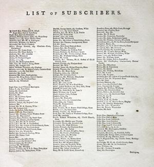
New and Correct English Atlas Subscribers
-

New and Correct English Atlas Subscribers
-
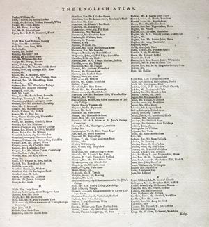
New and Correct English Atlas Subscribers
-
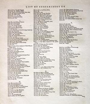
New and Correct English Atlas Subscribers
-
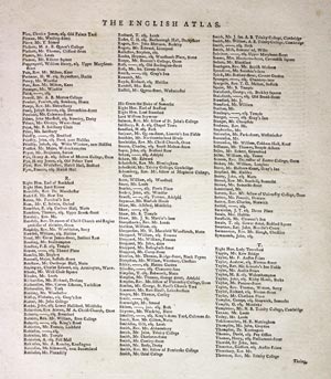
New and Correct English Atlas Subscribers
-
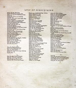
New and Correct English Atlas Subscribers
For the Collector
-

Staffordshire, Reuben Ramble 1844
-
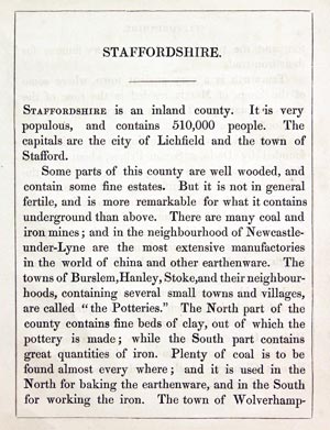
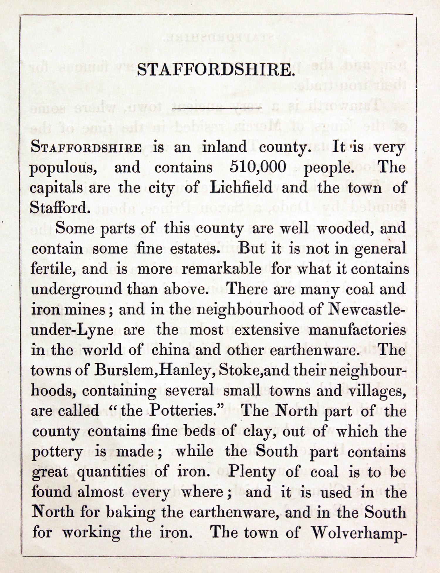
Staffordshire Text, Reuben Ramble 1844

31384 Staffordshire, Reuben Ramble, c1845. Price: 69.00
STAFFORDSHIRE
An uncommon lithograph miniature map of the county surrounded by a wide border of vignette views of local scenes including Lichfield Cathedral, Copper Mine, Potteries and Furness. The maps first appeared in Miller’s New Miniature Atlas published in 1810. The decorative views were added and the maps republished by Darton & Clark in “Reuben Ramble’s Travels Through the Counties of England” in 1844. 5 3/4 x 7 1/4 inches. This is the size of overall area and not the contained map. Original hand colouring. With this map is the original double sided page of text describing the county.
19th Century - Early Hand Colouring
-

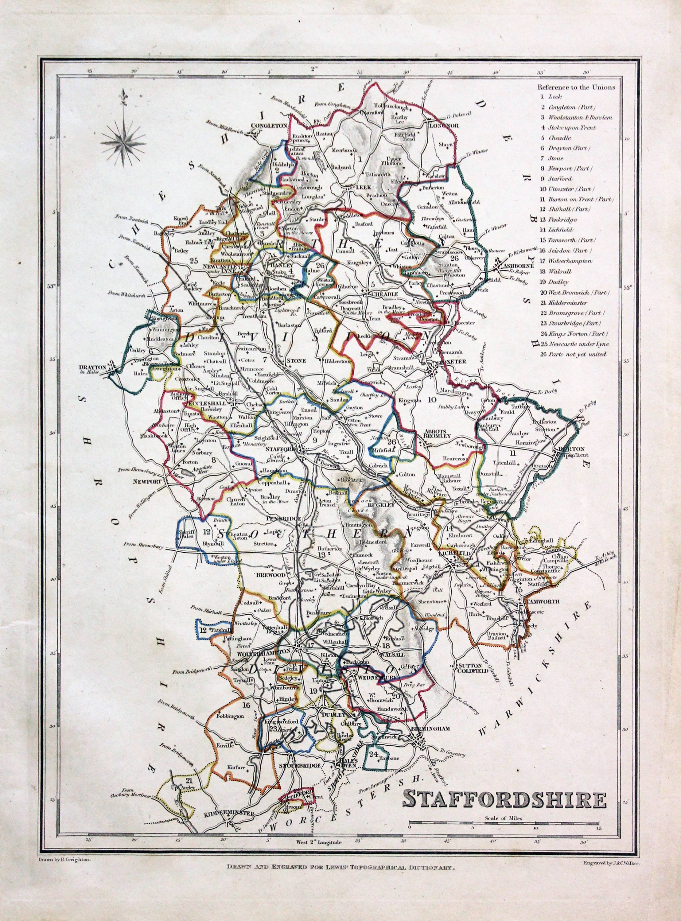
Staffordshire, Samuel Lewis 1845
-

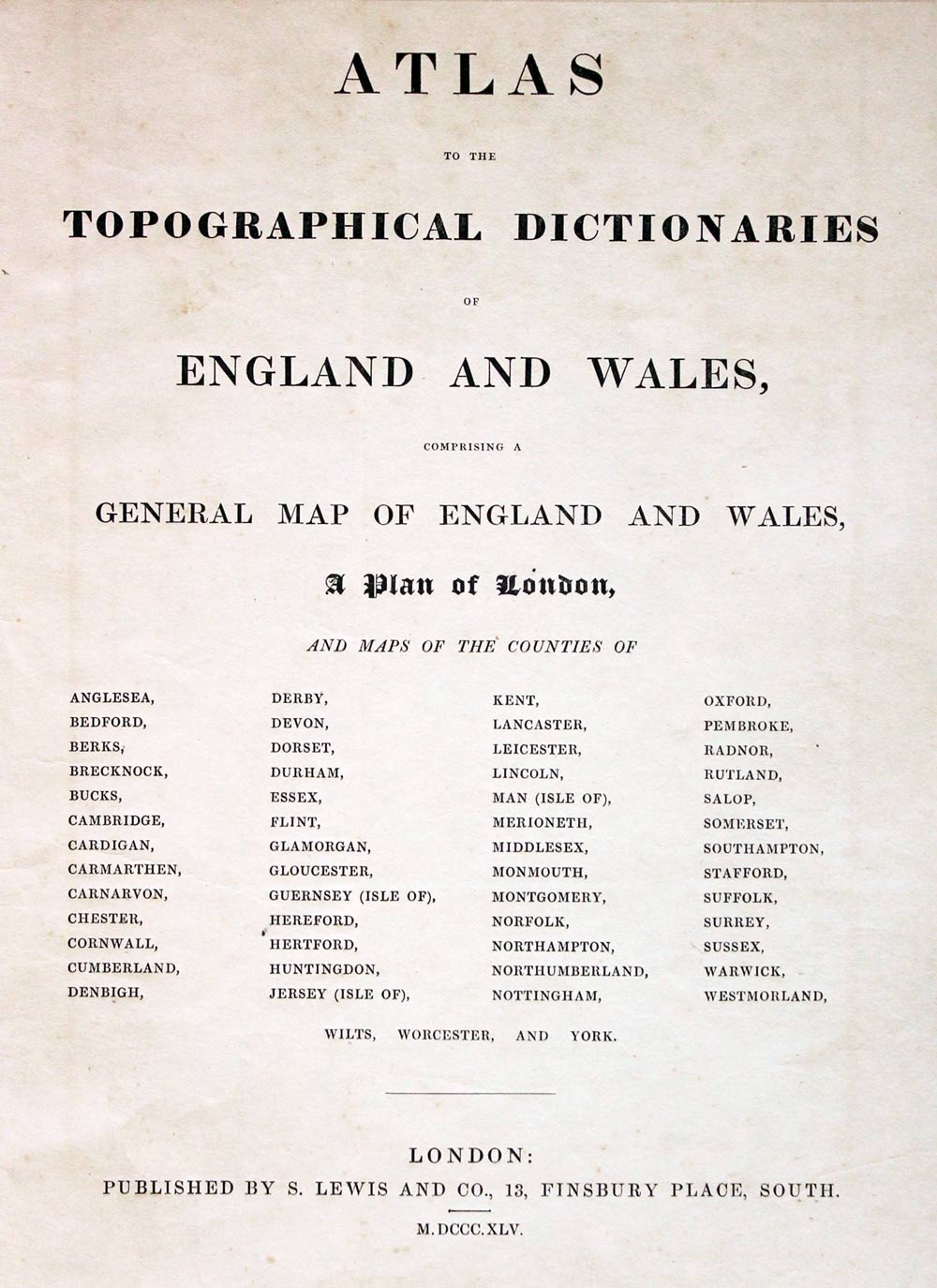
Lewis' Atlas to the Topographical Dictionaries of England and Wales

31617 Staffordshire, Samuel Lewis, 1845. Price: 25.00
STAFFORDSHIRE
A county map drawn by R. Creighton and engraved by J. & C. Walker. Reference to the Unions. Scale and compass rose. 7 x 9 1/4 inches. Original outline hand colouring. Light crease in the right hand sidde blank margin otherwise good clean condition. Straight from the atlas and not sold as a single map before now.
From: Lewis' Atlas to the Topographical Dictionaries of England and Wales
19th Century - Early Hand Colouring
-

Staffordshire, Wallis/Lewis 1819

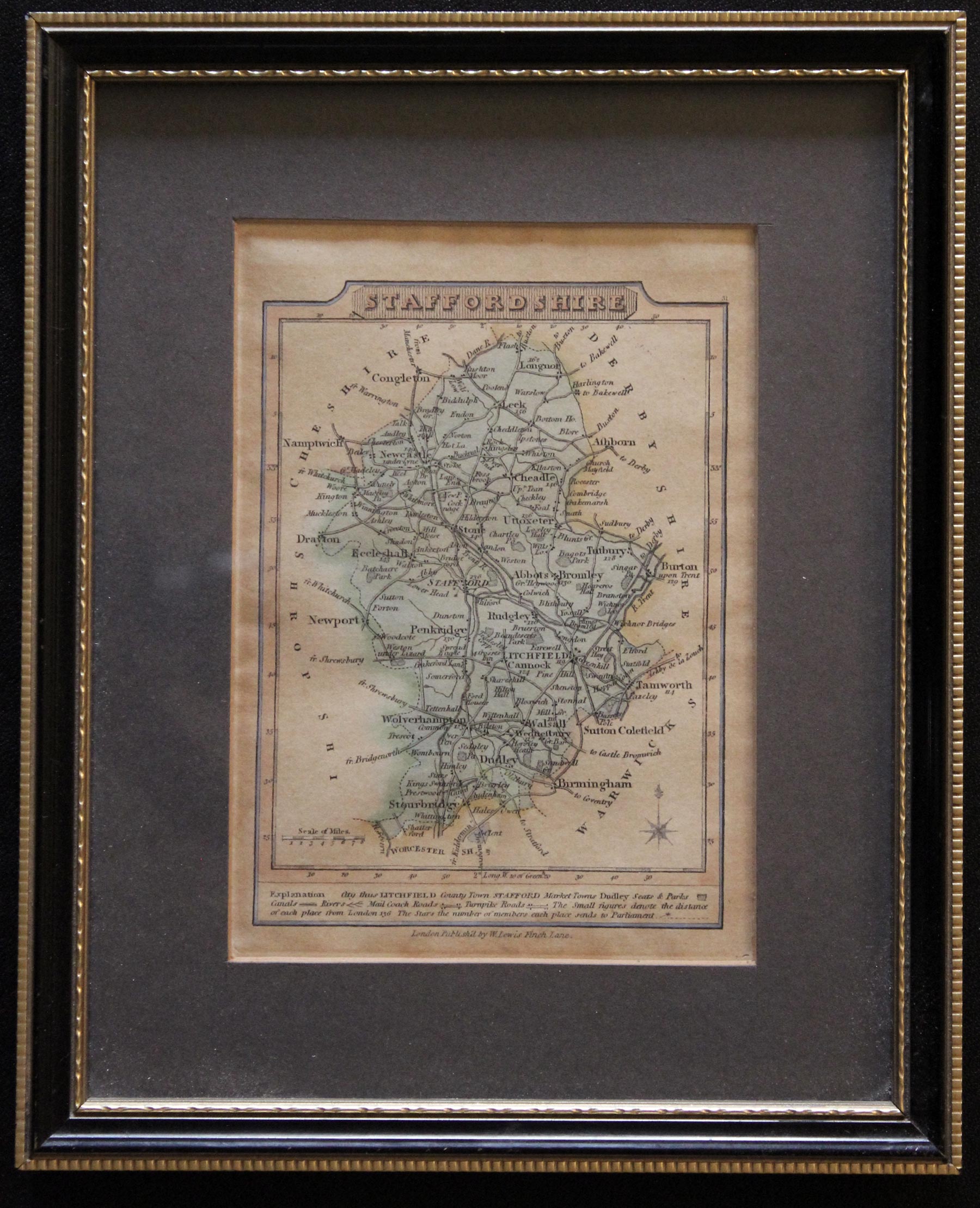
Staffordshire, J. Wallis / W. Lewis, 1819. Price: 26.00
STAFFORDSHIRE
A small engraved county map with short description beneath. 3 3/4 x 5 inches. Original outline and wash colouring. Lightly toned all over but otherwise appears to be in good condition. The map is in a darg green mount and framed in black and gilt hogarth moulding many years ago. The frame is still in nice condition. Although I do not not normally send framed maps by post this map is small enough to be sent.
From: New Traveller’s Guide
18th Century - County and Road Map
-
Staffordshire, Samuel Lewis 1845
-

Staffordshire, Samuel Lewis 1845
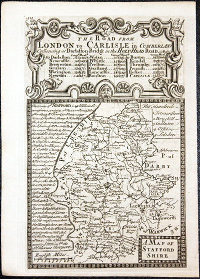
32411 Staffordshire, John Owen and Emanuel Bowen, 1753. Price: 36.00
A MAP OF STAFFORD SHIRE
An engraved map of the county map with a description on the left hand side The map is surmounted by a decorative baroque cartouche titled The Road ffrom London to Carlisle in Cumberland. A strip road map on verso from Boston to Lincoln embellished with with coat of arms and interesting notes. 4 x 7 inches. Uncoloured. Good clean condition. This map has been taken straight from the atlas and therefore not offered for sale previously as a single.
From: Britannia Depicta


PROVENANCE
At some time part of the Townsend Family library
Late 18th Century - Early Hand Colouring
-

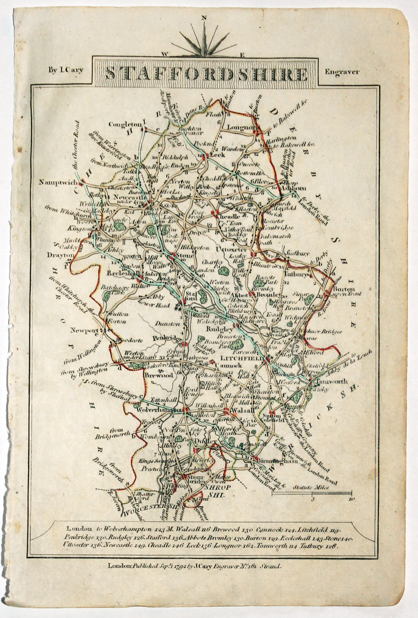
Map of Staffordshire, John Cary, 1792
32545 Staffordshire, John Cary, 1792. Price: 14.00
STAFFORDSHIRE
Small engraved map of the county. Tile panel surmounted by half compass rose. Panel at bottom with list of distances from London. Publisher’s imprint beneath dated 1792. 3 1/2 x 4 3/4 inches. Thin paper. Original outline hand colouring. Good condition.
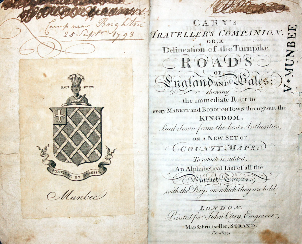
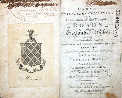
From: Cary’s Traveller’s Companion
Titlepage dated 1791, maps dated 1792. The atlas was formerly in the Mumbee family library - titlepage stamped V. Munbee
Provenance
-
Cary Titlepage and Munbee Bookplate

Early 17th Century
-
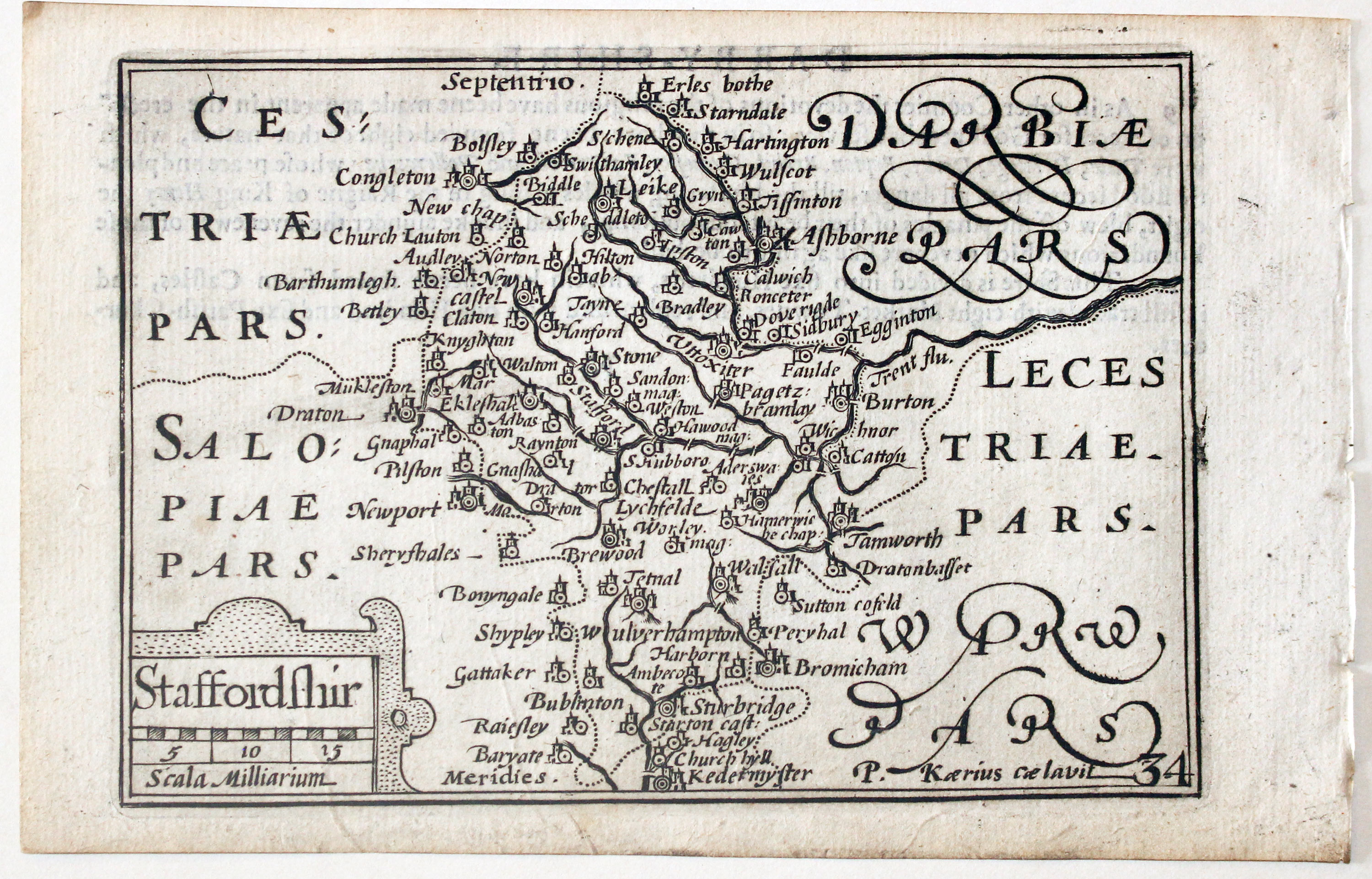
Staffordshire by Pieter van den Keere, c.1627

-
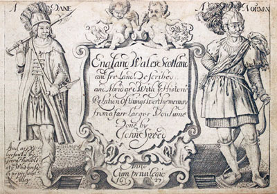
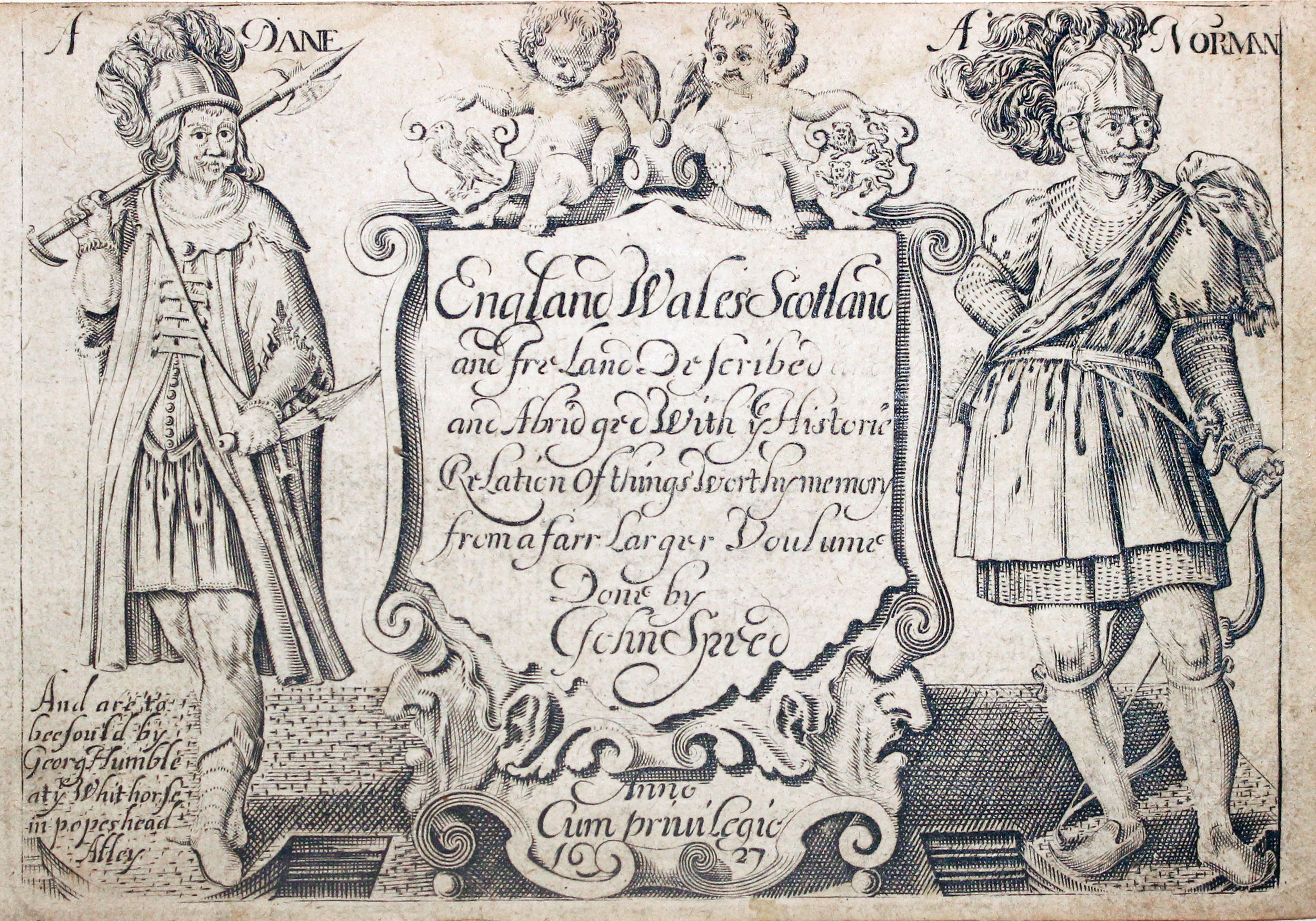
Pieter van den Keere Atlas Titlepage, c.1627
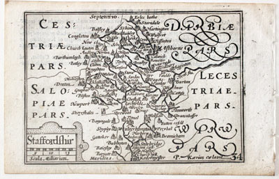
32648 Staffordshire, Pieter van den Keere, c.1627. Price: 70.00
STAFFORDSHIR
A early engraved miniature map of Staffordshire. Embellished with a cartouche displaying the title and scale. Numbered 34. Bears the name of Pieter van den Keere in Latin - P. Kaerius. 4 3/4 x 3 1/4 inches. A clean undamaged uncoloured specimen. On verso is the ending of a description of Derbyshire in English. With this map is the following original double sided page of text that starts the description of Staffordshire. The last part of the description appears on verso of the map of Shropshire. Straight from the atlas and not previously sold as a single map. The title page of the atlas is dated 1627
From: England Wales Scotland and Ireland Described
18th Century - Road Map
-

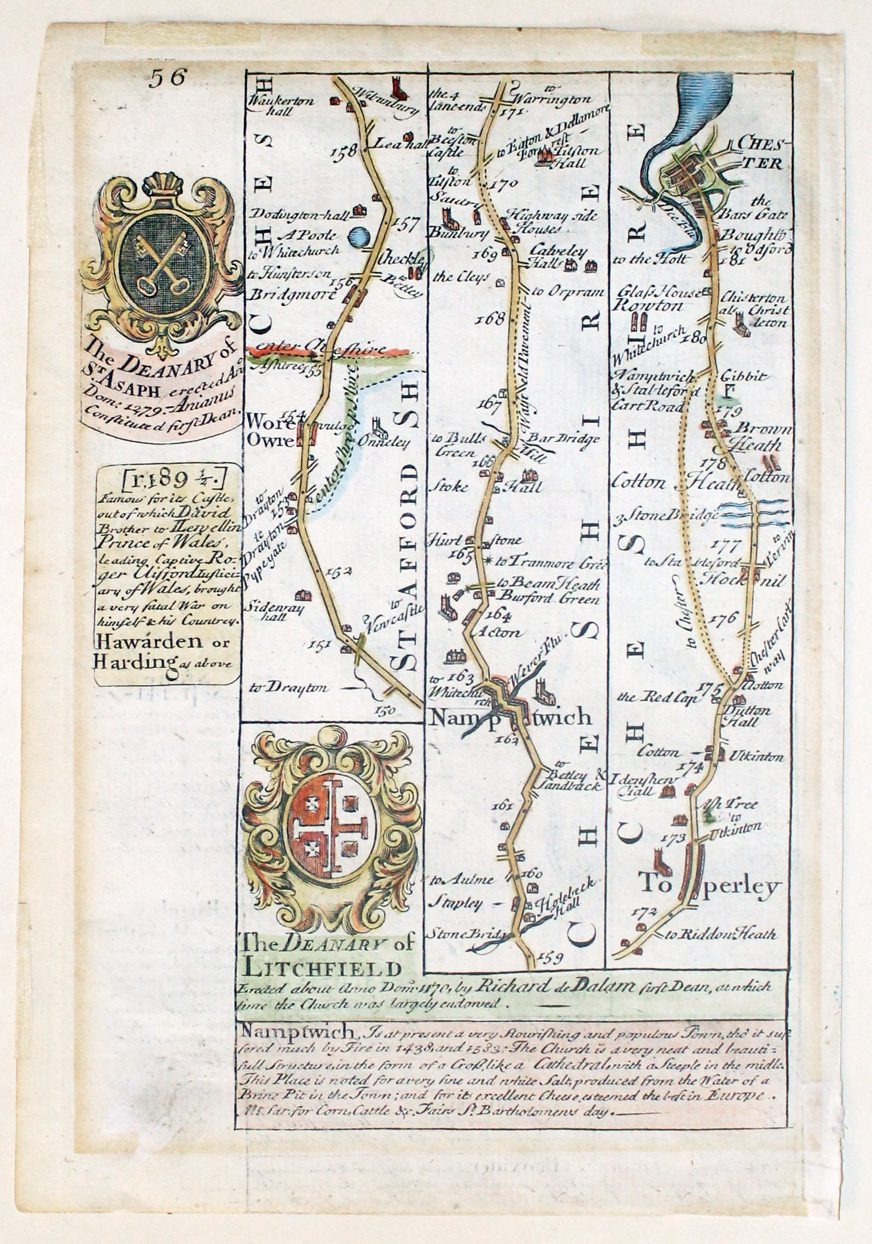
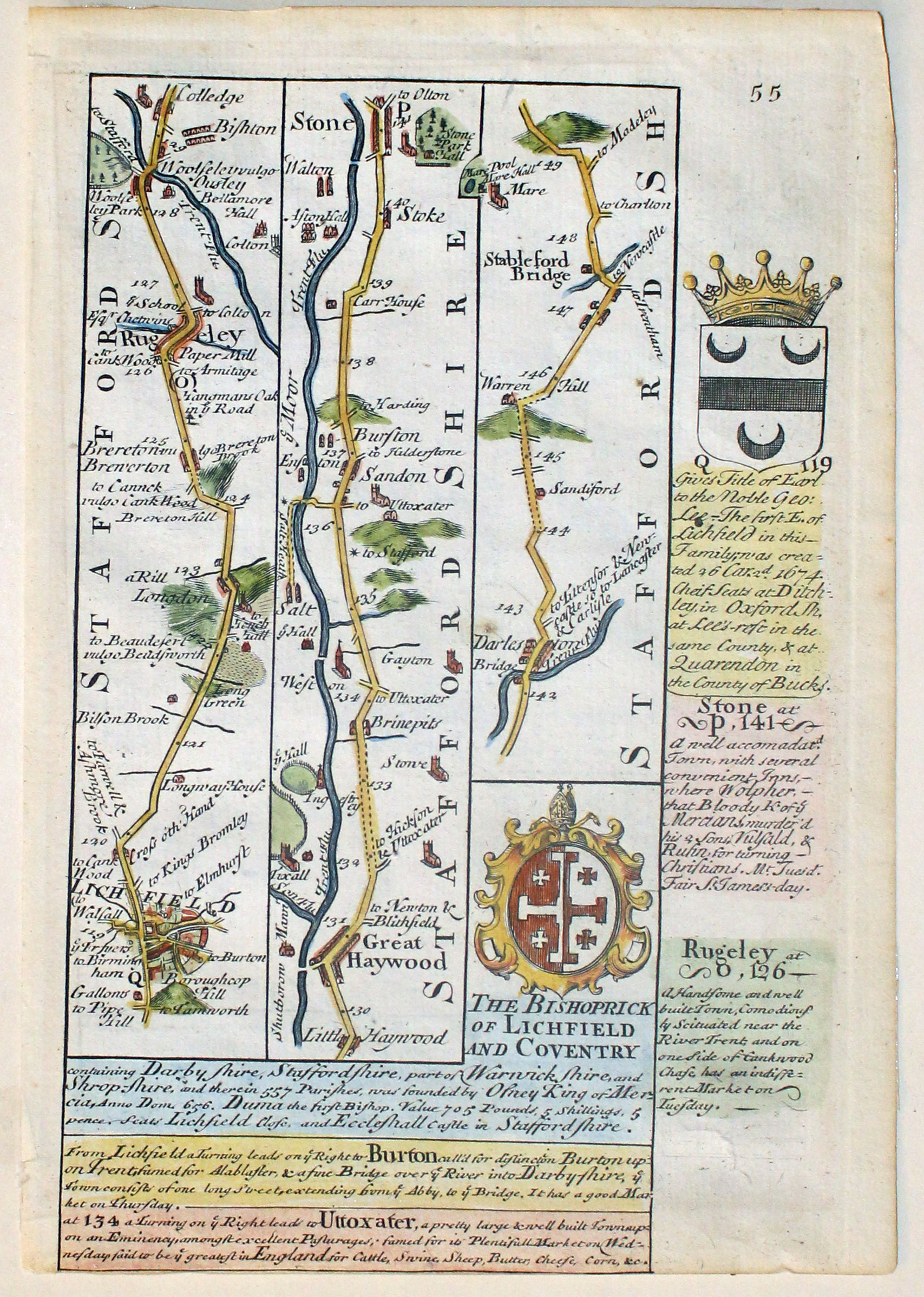
Road Map Lichfield to Chester, John Owen and Emanuel Bowen c.1730
-
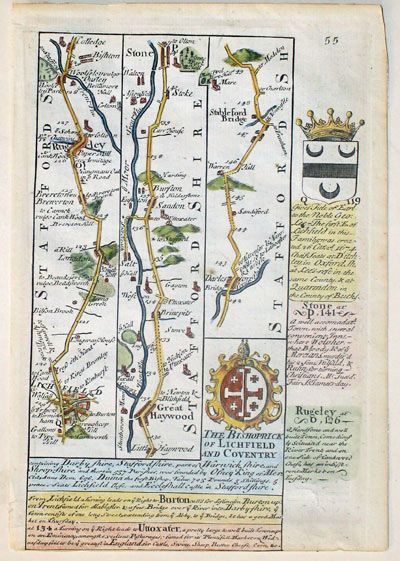
Road Map Lichfield to Chester, John Owen and Emanuel Bowen c.1730

32787 Lichfield to Chester, John Owen and Emanuel Bowen, c.1730. Price: 26.00
Plate 55/56
A double sided map showing the road from Lichfield to Stableford Bridge pssing through Rugeley, Great Haywood and Stone. The road continues on verso to Nantwich, Tarporley and onto Chester. Engraved notes and coats of arms on both sides. 4 1/2 x 7 14 inches. Attractive hand colouring. Very small repair to an area which is blank on both sides. No bottom blank marin on side 55.
From: Britannia Depicta
17th Century Text
-
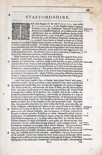
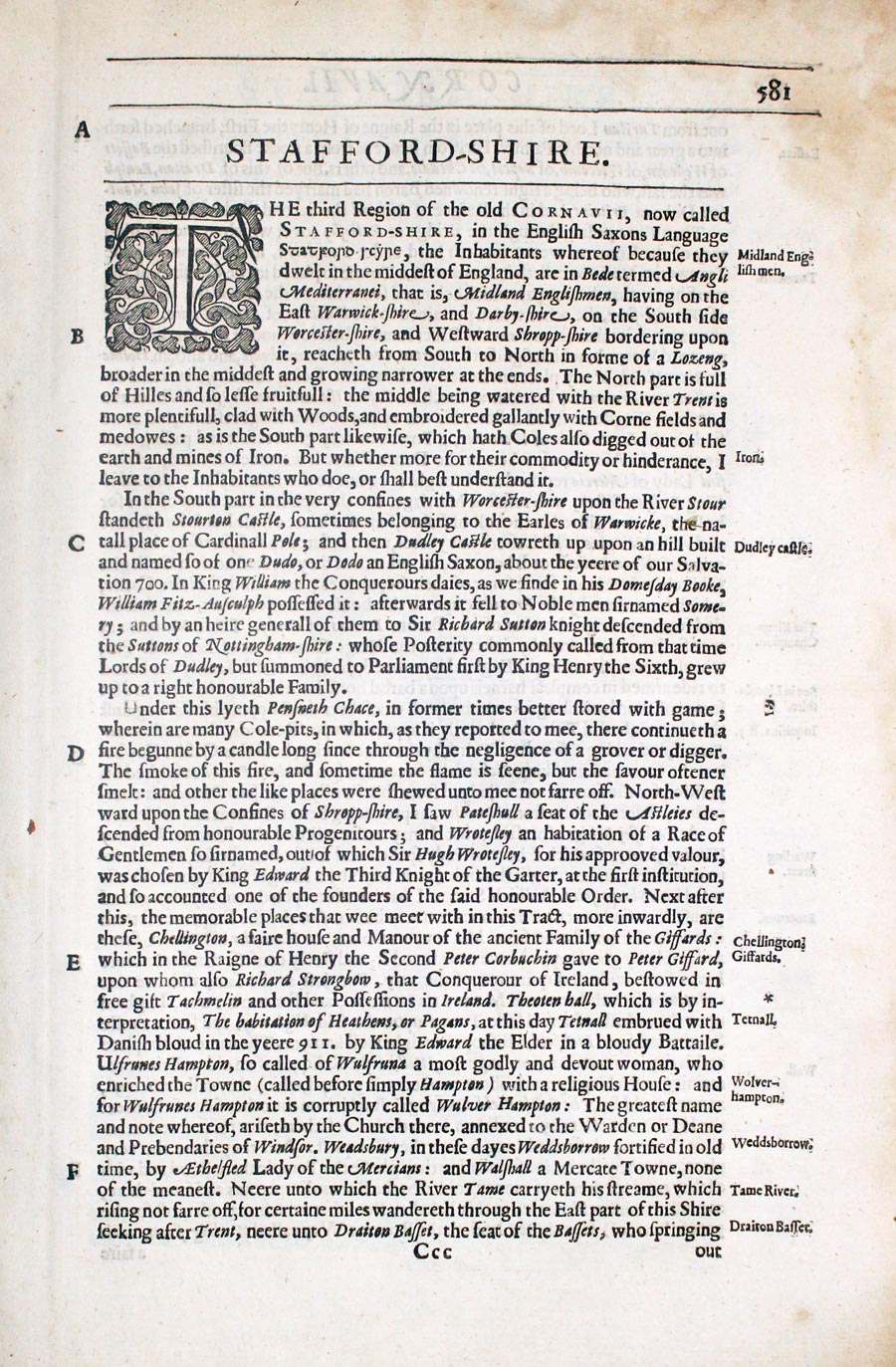
Staffordshire text from Camden's Britannia by William Camden 1637

32832 Staffordshire, William Camden, 1637. Price: 9.00
STAFFORD-SHIRE
Pages 581 - 588 inclusive describing the county in English. About 13 x 8 inches. Good condition.
From: Camden’s Britannia
19th Century - Early Hand Colouring
-

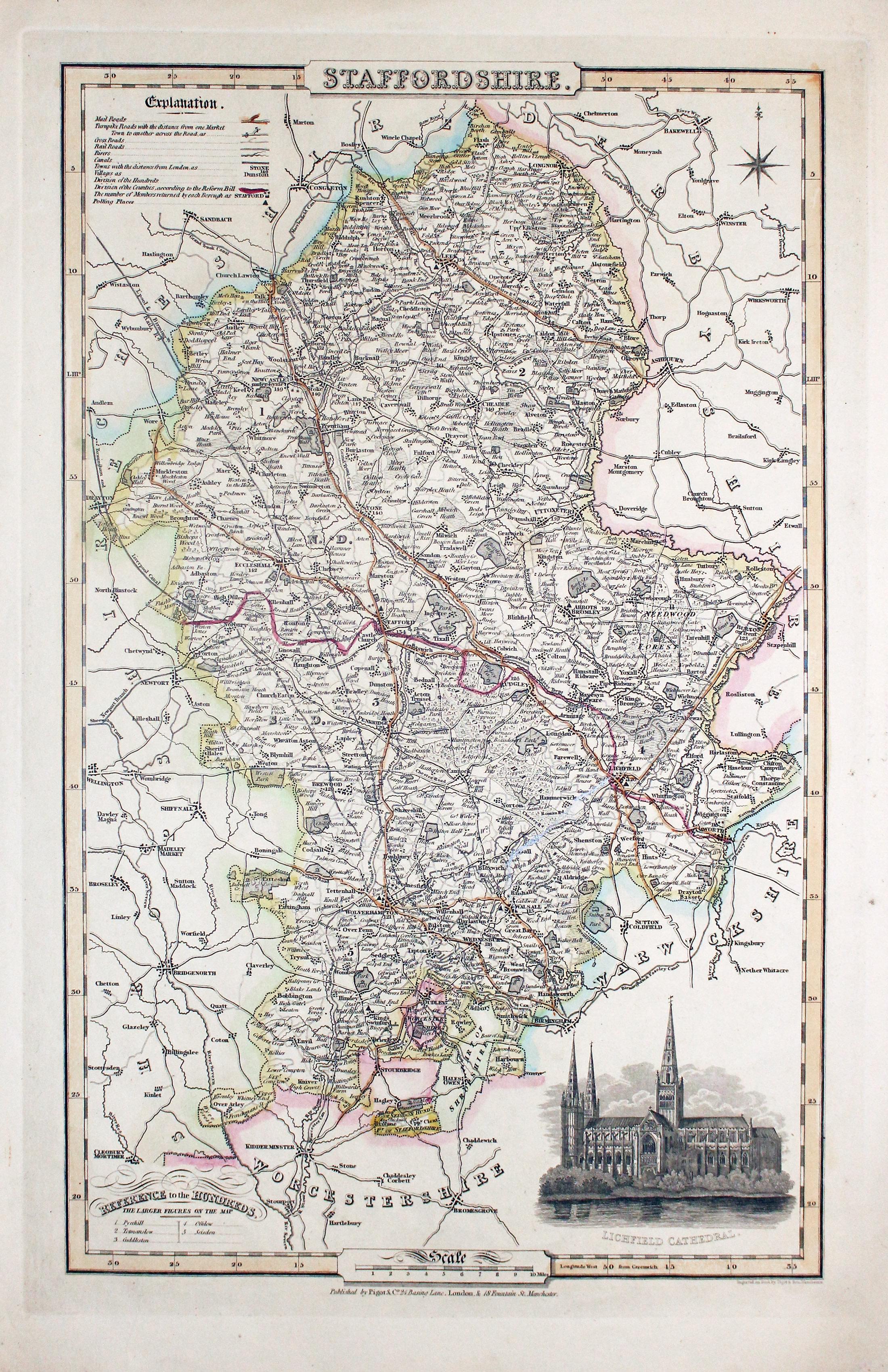
Map of Staffordshire, James Pigot c.1830

32853 Staffordshire, James Pigot, c.1830. Price: 72.00
STAFFORDSHIRE
An engraved map of the county with title, scale, explanation and list of hundreds. Embellished with an uncoloured view of Lichfield Cathedral. Imprint of the publishers Pigot & Co. 24 Basing Lane & 18 Fountains St. Manchester beneath. 8 3/4 x 14 inches. Original outline hand colouring. Nice stout paper. A few small flecks of soiling in the right hand blank margin otherwise good condition.
From: British Atlas
19th Century - Early Hand Colouring
-

Map of Wiltshire, Samuel Lewis 1848

32936 Staffordshire, Samuel Lewis, 1848. Price: 28.00
STAFFORDSHIRE
A county map drawn by R. Creighton and engraved by J. & C. Walker. Reference to the Unions. Scale and compass rose. 7 x 9 1/4 inches. Original outline hand colouring. Good clean condition. Straight from the atlas and not sold as a single map before now.
From Lewis' Atlas to the Topographical Dictionaries of England and Wales
17th Century
-
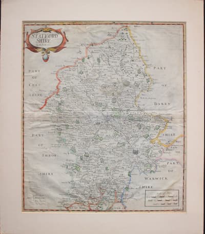
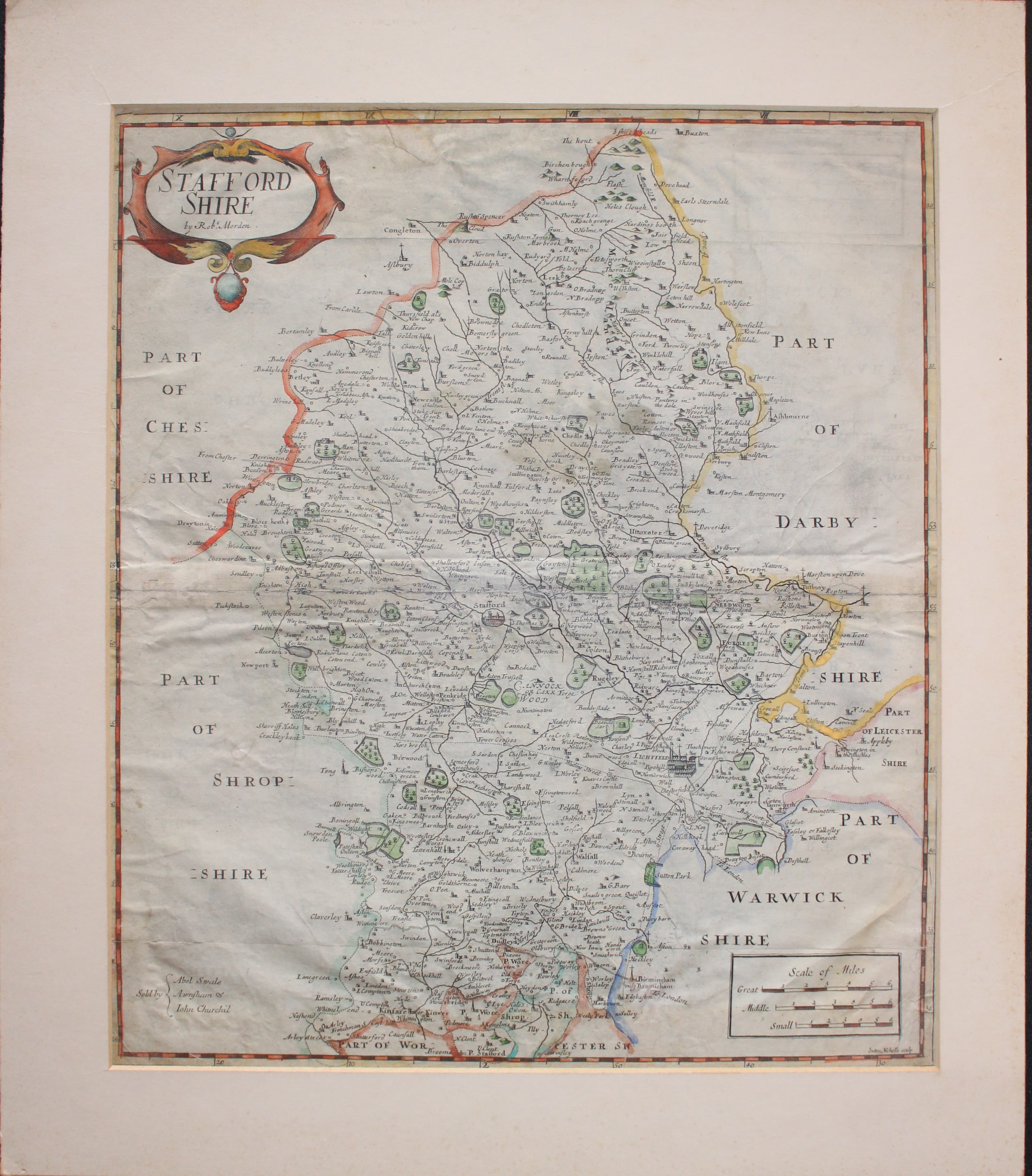
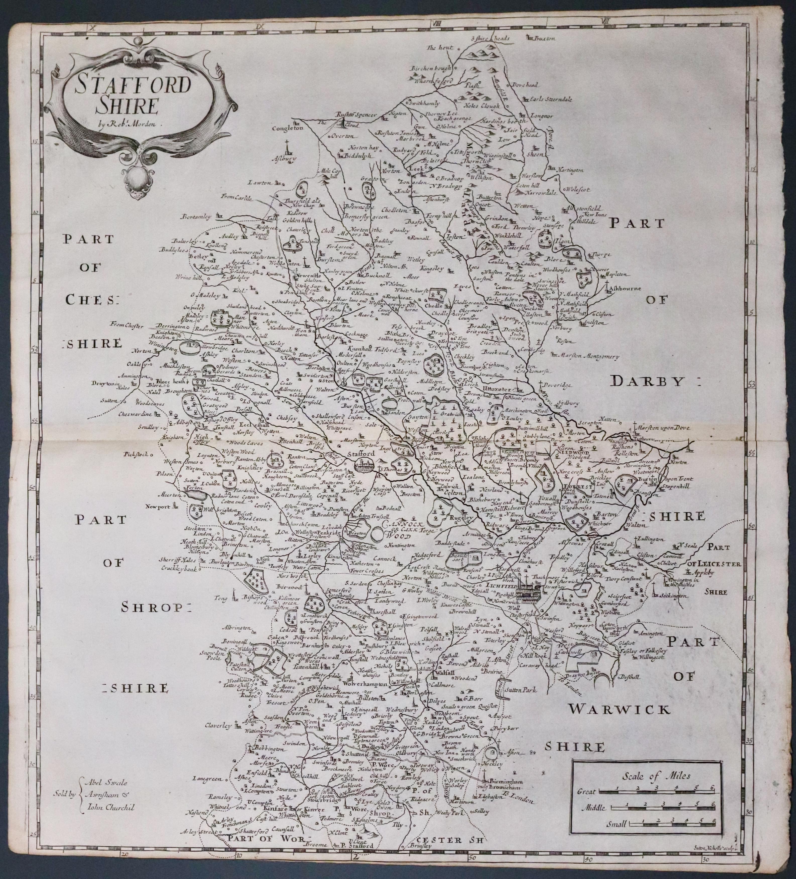
Map of Stafforshire by Robert Morden 1695
-

Back of Stafforshire by Robert Morden 1695
33030 Staffordshire, Robert Morden, c.1695. Price: 29.00
STAFFORDSHIRE by Robt. Morden
An engraved map of the county embellished with a decorative title cartouche. Panel with three scales. Publisher's imprint - Sold by Abel Swale, Awnsham and John Churchill. Original centre fold. 14 x 16 inches, 370 x 425 mm. Hand coloured. Not the best of specimens. Tear at top into a blank area of the map repaired. Some creasing. The map has been put into a cream sunk mount and attached with strong wide tape on verso which I would suspect is impossible to remove.
From Camden's Britannia.
For Collection Only

18th Century
-

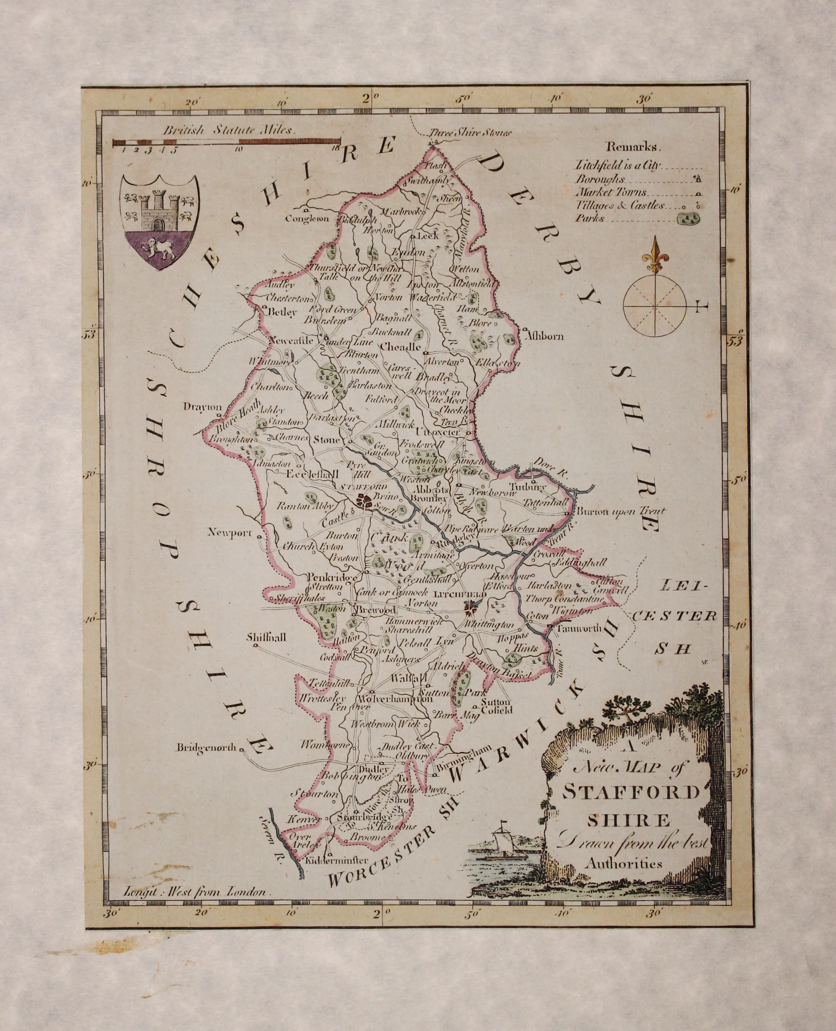
Map of Stafforshire by George A. Walpole 1794

33051 Staffordshire, George Walpole, 1794. Price: 14.00
A NEW MAP OF STAFFORDSHIRE Drawn from the best Authorities
A map of the county engraved by Thomas Conder embellished with a pictorial title cartouche, coat of arms and compass pointer. 6 1/4 x 8 inches. Cut close all round and pasted down onto a modern parchment type of paper. Hand coloured. Good condition.
From: The New and Complete British Traveller
19th Century
-
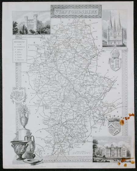
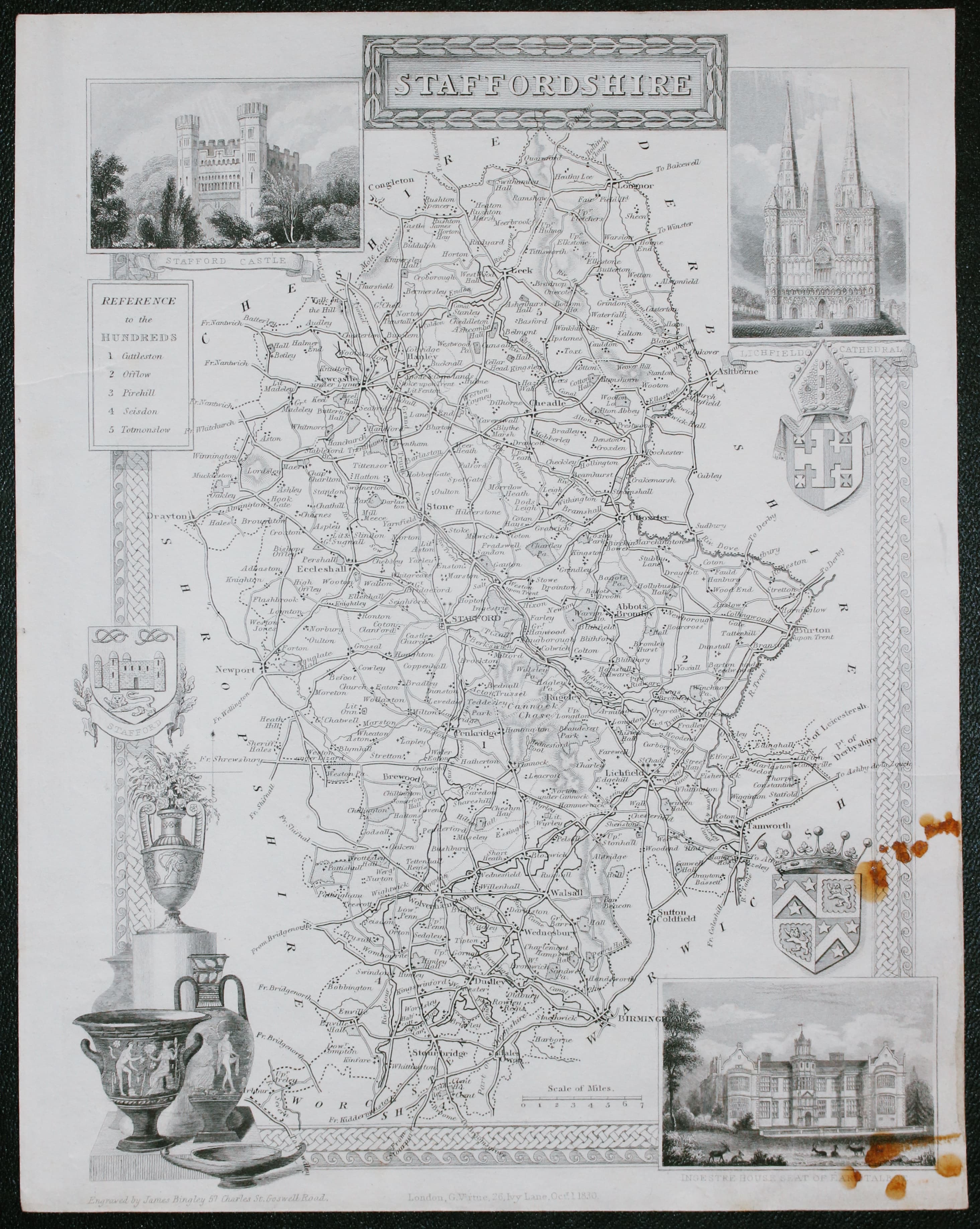
Map of Stafforshire by Thomas Moule c.1850

33075 Staffordshire, Thomas Moule, c.1850. Price: 7.00
STAFFORDSHIRE
A decorative Victorian map of the county embellished with three inset views of Stafford Castle, Lichfield Cathedral and Ingestre House, Seat of Earl Talbot, Wedgwood pottery and three coats of arms. 7 1/2 x 10 inches, 195 x 260 mm. Uncoloured. Some brown stains in the lower right hand corner otherwise good condition.
From: Barclay’s Dictionary
19th Century
-

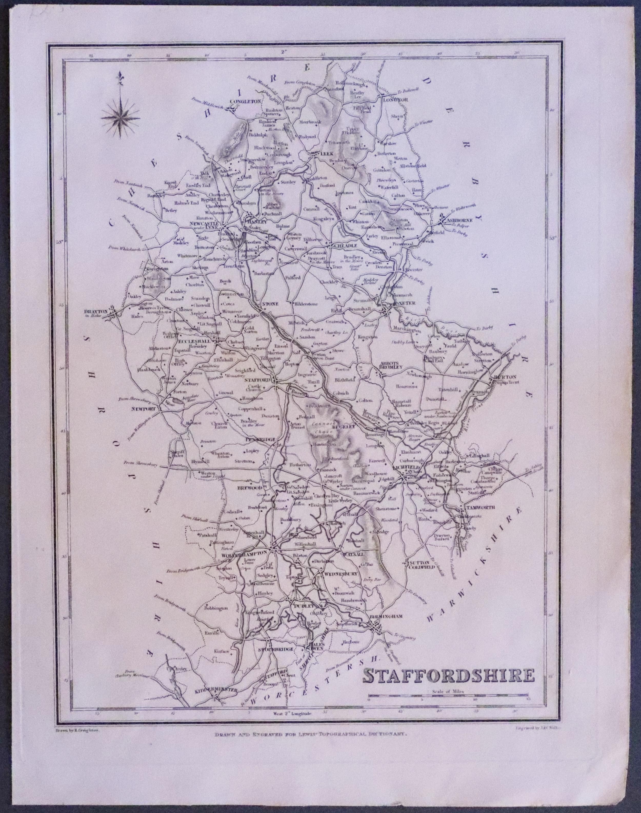
Stafforshire map by Samuel Lewis c.1840

33318 Staffordshire, Samuel Lewis, 1840. Price: 19.00
STAFFORDSHIRE
A county map drawn by R. Creighton and engraved by J. & C. Walker. Reference to the Unions. Scale and compass rose. 7 x 9 1/4 inches. Uncoloured Good clean condition.
From: Lewis' Atlas to the Topographical Dictionaries of England and Wales
18th Century - First Edition
-

Staffordshire, Robert Morden 1695
33506 Staffordshire, Robert Morden 1695. Price: 190.00
WARWICK SHIRE BY ROBERT MORDEN
A good engraved late 17th century map of the county map embellished with a decorative title cartouche. Three scales. Imprint of the publishers Abel Swale with Awnsham and John Churchill. 16 x 14 1/4 inches. Uncoloured. Slight trimming at the bottom of the right hand printed margin. Otherwise a nice dark impression. This map has been taken straight from the atlas and therefore not previously offered for sale as a single map. One of the first maps of the county to show the main coach roads following Ogilby’s survey some 20 years earlier.
From: Camden's Britannia


