REFERENCE MAP

A fine detailed series of maps drawn in sections at a scale of 5 miles to the inch from Cary's New Map of England and Wales with part of Scotland. Refer to the REFERENCE MAP on anther section of this page for the Plate that covers the area or parts of country in which you are interested. Just a few of the towns shown on each map are listed in the table below to aid location. Each map measures about 8 x 10 inches and has original hand colouring. All the maps are in good condition. Where a panel is blank it means that we do not currently have a specimen of this plate in stock.
-

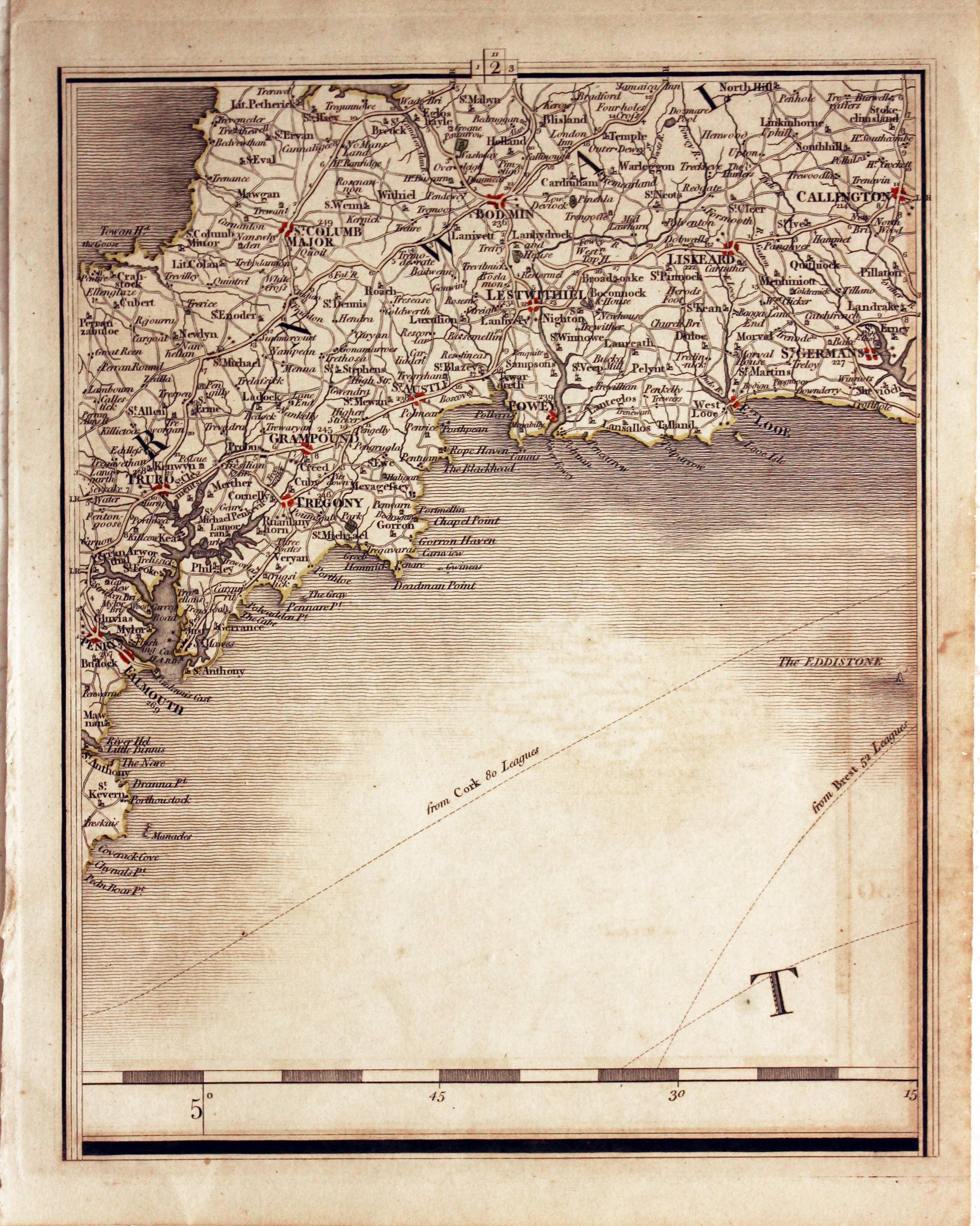
Tregony, Bodmin, Liskeard, Callington John Cary
12580 Plate 2 Tregony, Bodmin, Liskeard, Callington. Price: 24.00
1794 edition. Early hand colouring.
-

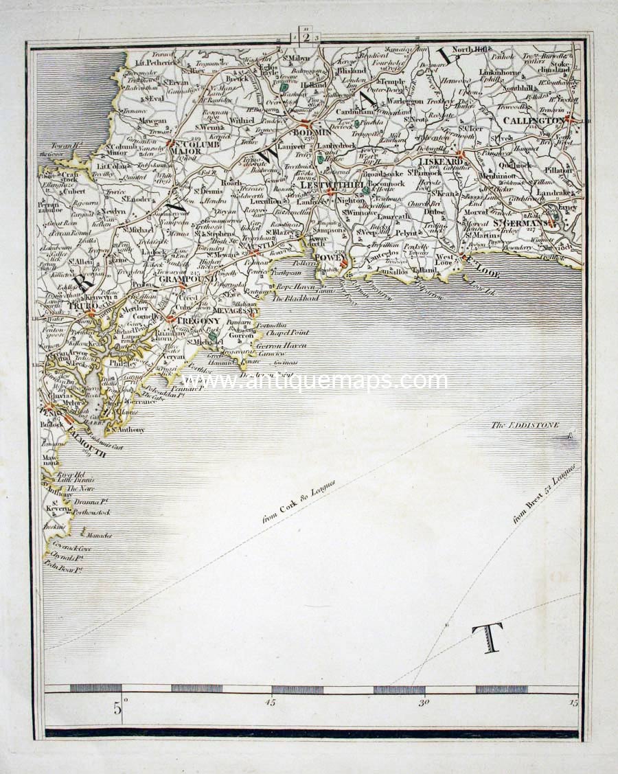
Tregony, Bodmin, Liskeard, Callington John Cary 1794
10146 Plate 2 Tregony, Bodmin, Liskeard, Callington. Price: 26.00
1794 edition
-
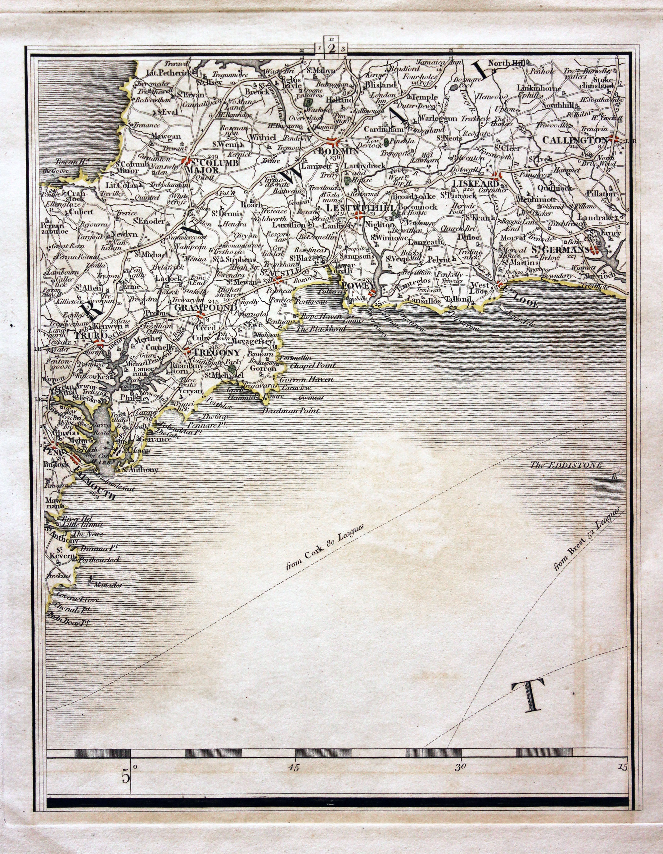
Tregony, Bodmin, Liskeard, Callington
22206 Plate 2 Tregony, Bodmin, Liskeard, Callington. Price: 25.00
1824 edition. Original outline hand colouring. Light brown mark in sea area down right hand side. Otherwise good condition.
-

Irvine, Ayr, Girvan, Point of Kirkcolm
22238 Plate 65 Irvine, Ayr, Girvan, Point of Kirkcolm. Price: 23.00
1824 edition. Good clean condition with original outline hand colouring.
-

The Scilly Isles John Cary
9095 Plate 10 The Scilly Isles. Price: 18.00
1824 edition. A little very light soiling but good condition. Original outline hand colouring.
-

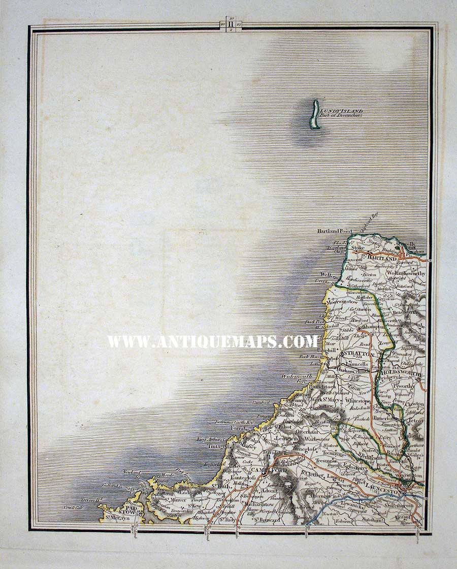
Lundy Island, Camelford, Launceston
10149 Plate 11 Lundy Island, Camelford, Launceston. Price: 20.00
1794 edition. Small single tear in top left blank margin repaired just reaching printed border line
-

Lundy Island, Camelford, Launceston
22209 Plate 11 Lundy Island, Camelford, Launceston. Price: 20.00
1824 edition
1824 edition
-

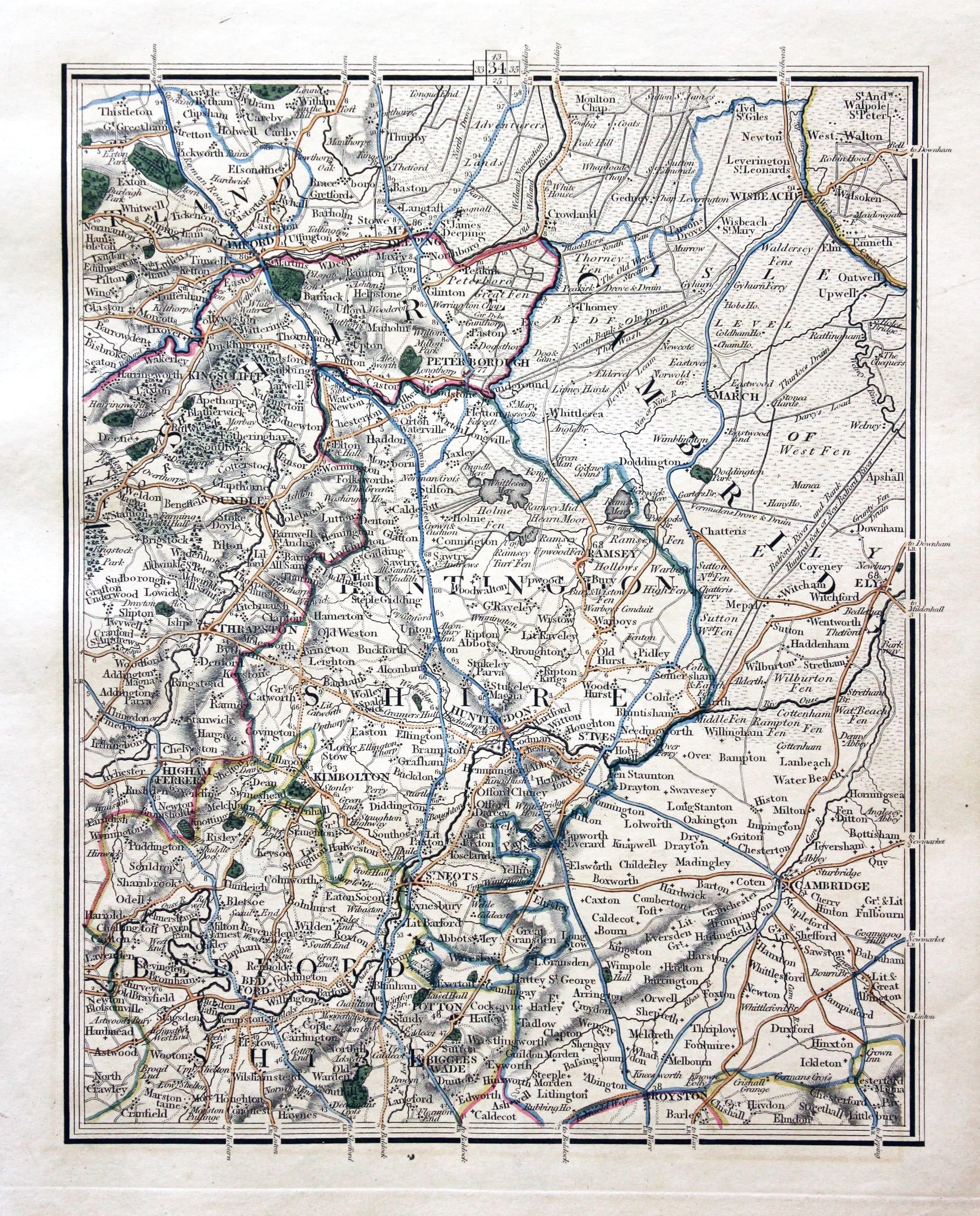
Stamford, Peterborough, Huntingdon, St. Ives, Wisbech, Cambridge, Royston, Bedford
22223 Plate 34 Stamford, Peterborough, Huntingdon, St. Ives, Wisbech, Cambridge, Royston, Bedford. Price 35.00
1824 edition. Good condition with original outline hand colouring
-

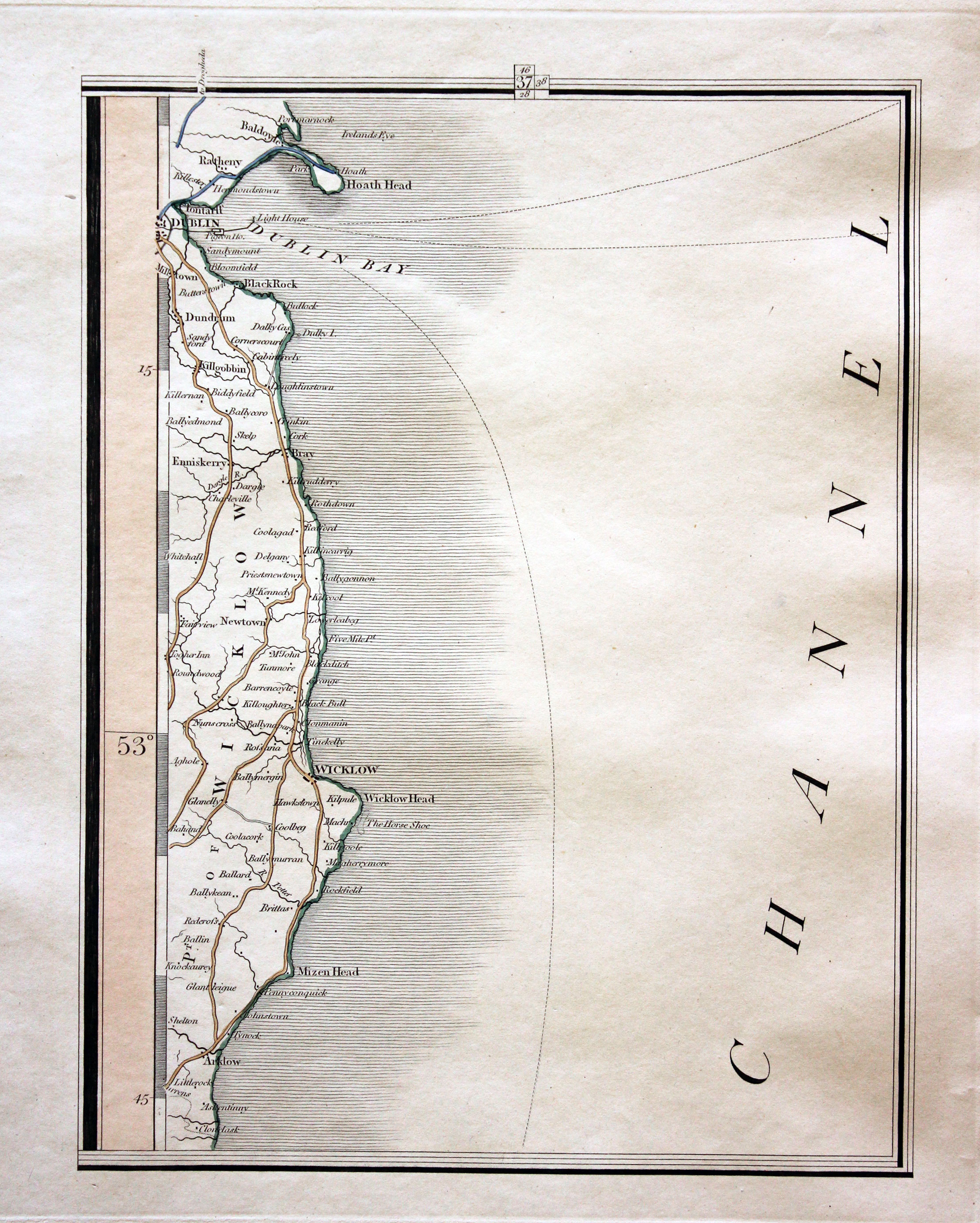
Coast of Ireland showing Dublin and Wicklow
22226 Plate 37 Coast of Ireland showing Dublin and Wicklow. Price: 19.00
1824 edition. Good clean condition with original outline hand colouring.
-

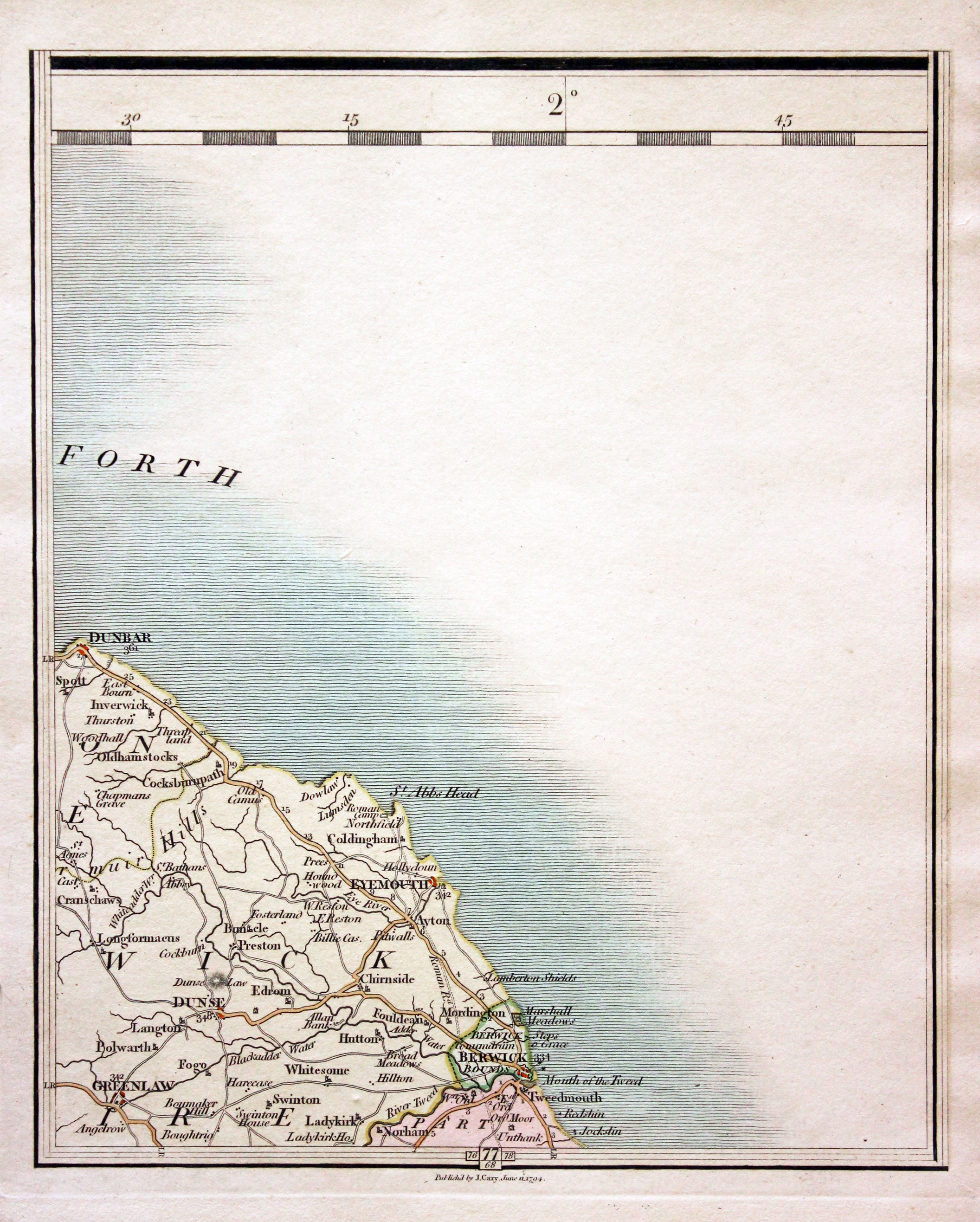
Dunbar, Eyemouth, Berwick, Greenlaw
16011 Plate 77 Dunbar, Eyemouth, Berwick, Greenlaw. Price: 19.00
1794 edition. Good clean condition with original outline and wash hand colouring.


