Antique Maps of Anglesey
Richard Nicholson of Chester
A World of Antique Maps and Prints
Established in 1961
The maps on this page are guaranteed to be genuine early specimens published in or around the year stated
18th Century - Sea Chart
-

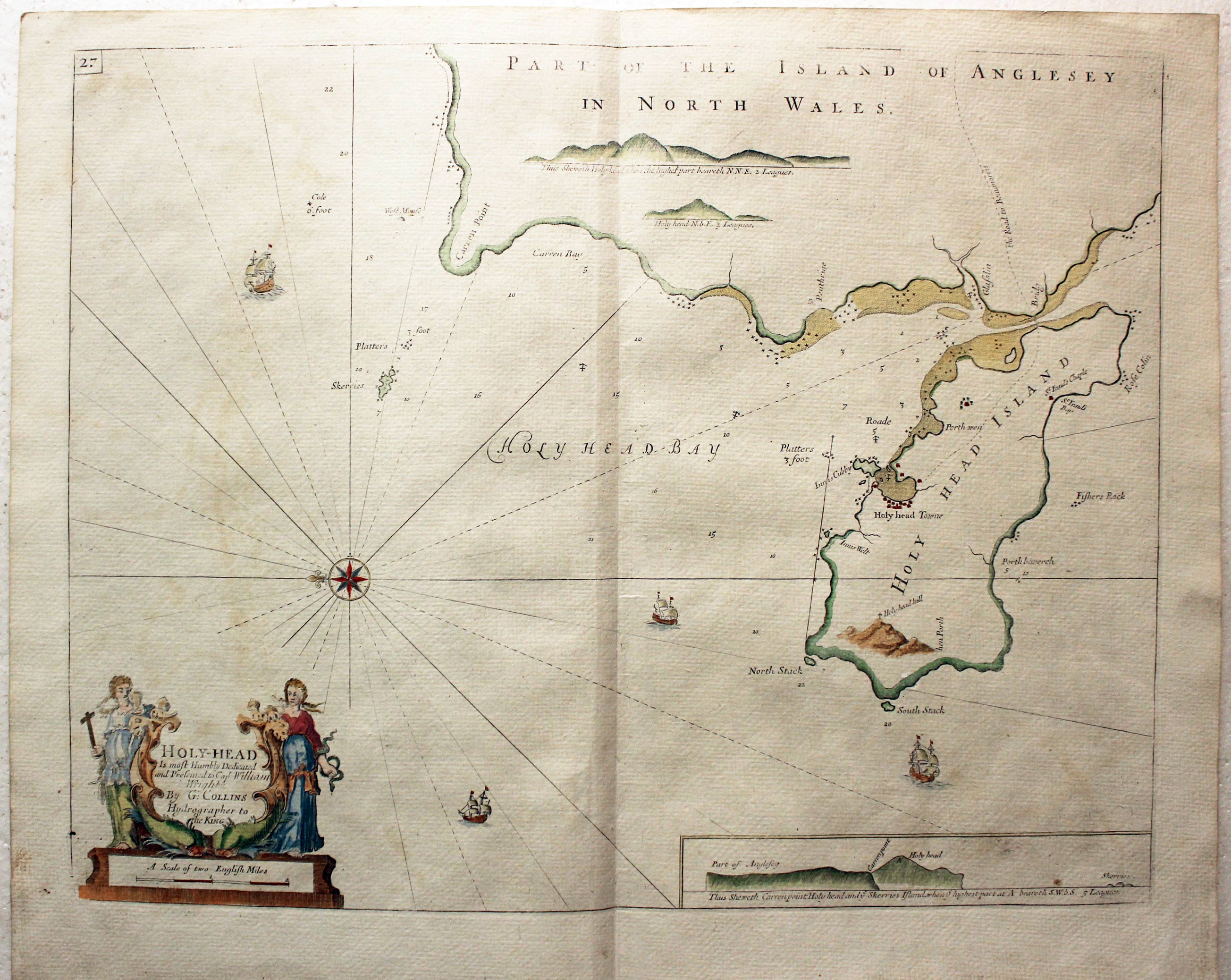
Holyhead, Anglesey by Captain Greenville Collins, c.1760
20212 Holyhead, Captain Greenvile Collins, c.1760. Price: 180.00
HOLYHEAD
An engraved chart orientated with east at the top. The title and scale are displayed within a decorative cartouche with two figures and dolphins. Inset land shape. Compass rose and rhumb lines. Ships. 22 x 17 inches. Hand coloured. Good condition.
From: Coasting Pilot

19th Century - Sea Chart
-
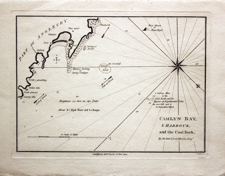
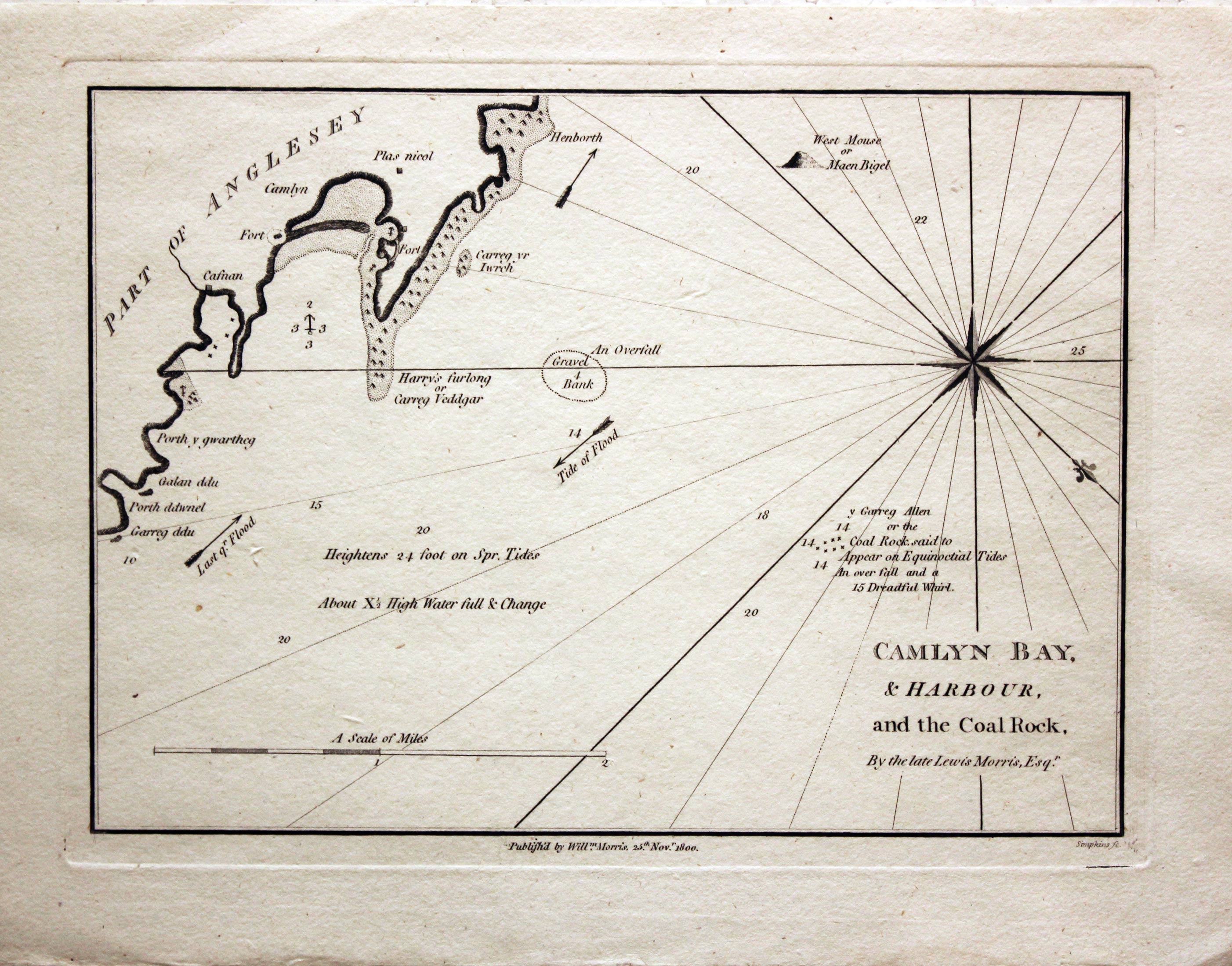
Camlyn Bay, Anglesey by William Morris, 1800
24580 Camlyn Bay, William Morris, 1800. Price: 58.00
CAMLYN BAY & HARBOUR AND THE COAL ROCK
By the late Lewis Morris Esqr. An interesting engraved chart of the region. Publisher's imprint beneath dated 1800. 9 1/4 x 6 3/4 inches. Uncoloured. Good condition.

For the Collector
-

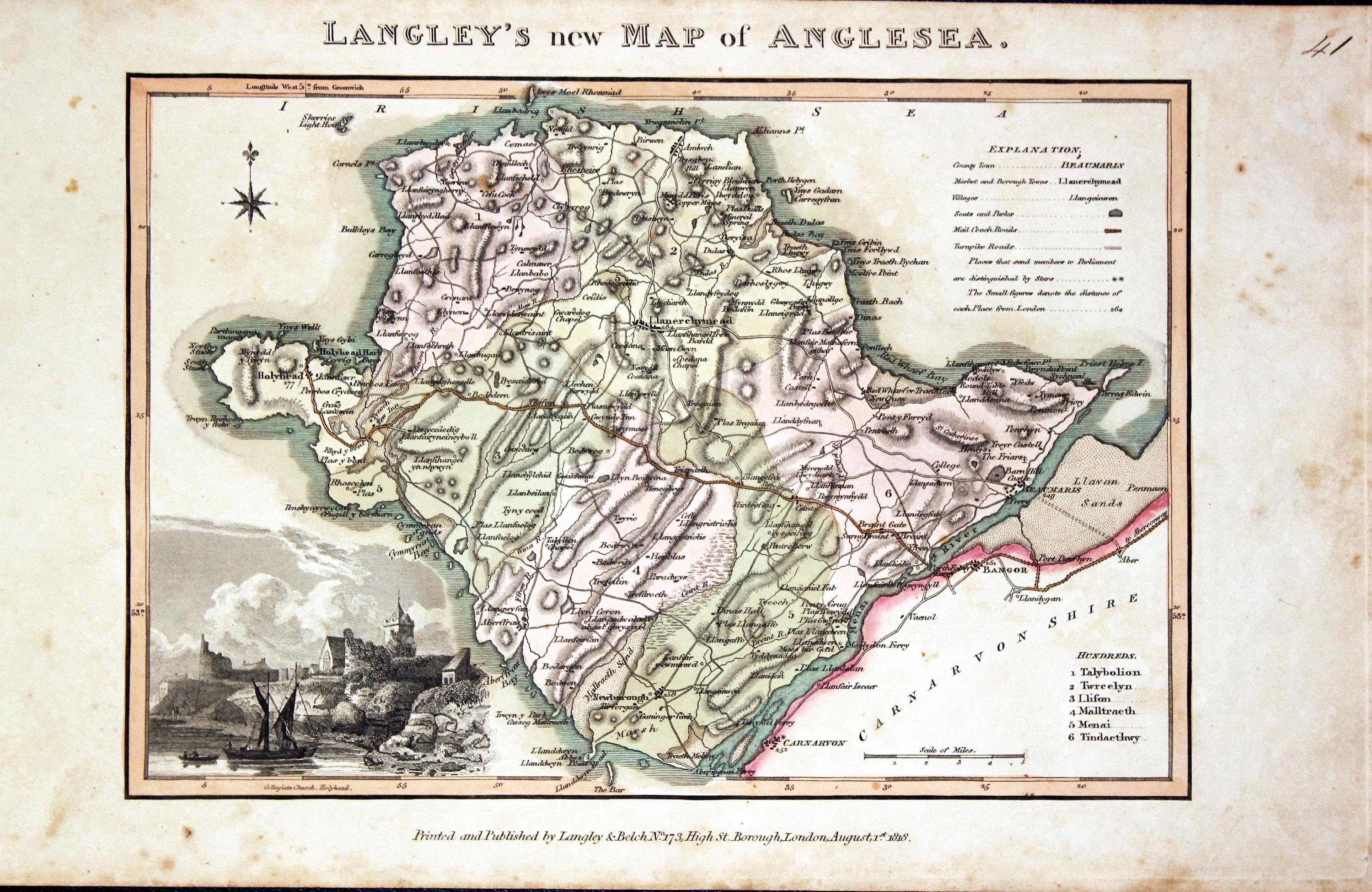
Anglesey, Edward Langley and William Belch, 1820
30946 Anglesey, Edward Langley and William Belch, 1820. Price: 55.00
LANGLEY’S NEW MAP OF ANGLESEA
An engraved map of the county. In the bottom left hand corner is a vignette view of Collegiate Church, Holyhead. The title appears above the map. Beneath the map is the publishers imprint Printed and Published by Langley & Belch, No. 173 High Street, Borough, London, August 1st, 1818. 10 x 6 3/4 inches. Manuscript number 40 in the top right hand corner. Original outline and wash hand colouring. A little light toning and some speckled foxing in the blank margins. No tears or repairs.
From: Langley’s New County Atlas of England and Wales

18th Century - Sea Chart
-
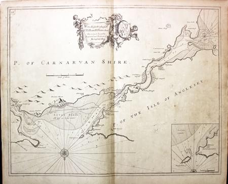
Anglesey, Edward Langley and William Belch, 1820
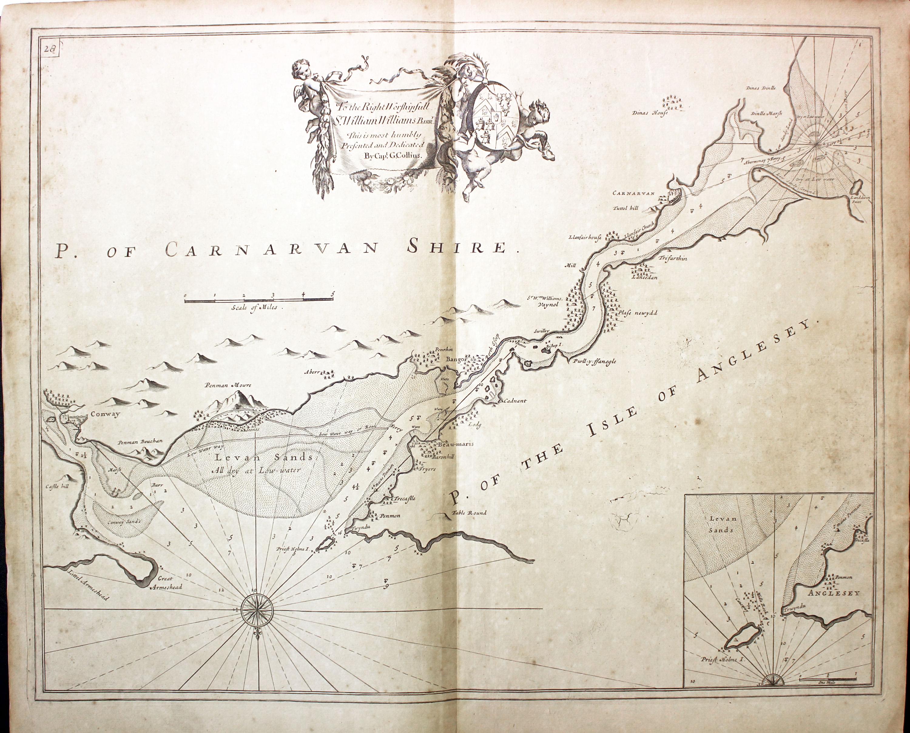
31025 Menai Straits, Captain Greenville Collins, c.1760. Price: 120.00
A fine untitled chart of the Menai Straits in North Wales orientated with south at the top. Inset of Priest Hole or Puffin Island. Dedication banner bearing the name of The Right Worshipfull Sr.William Williams Barrt. supperted by two putti with coats of arms. Compass rose and rhumb lines. 22 x 17 inches. Uncoloured. Light toning. Good condition.
From: Great Britain’s Coasting Pilot

19th Century - Early Hand Colouring
-
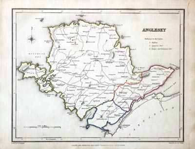
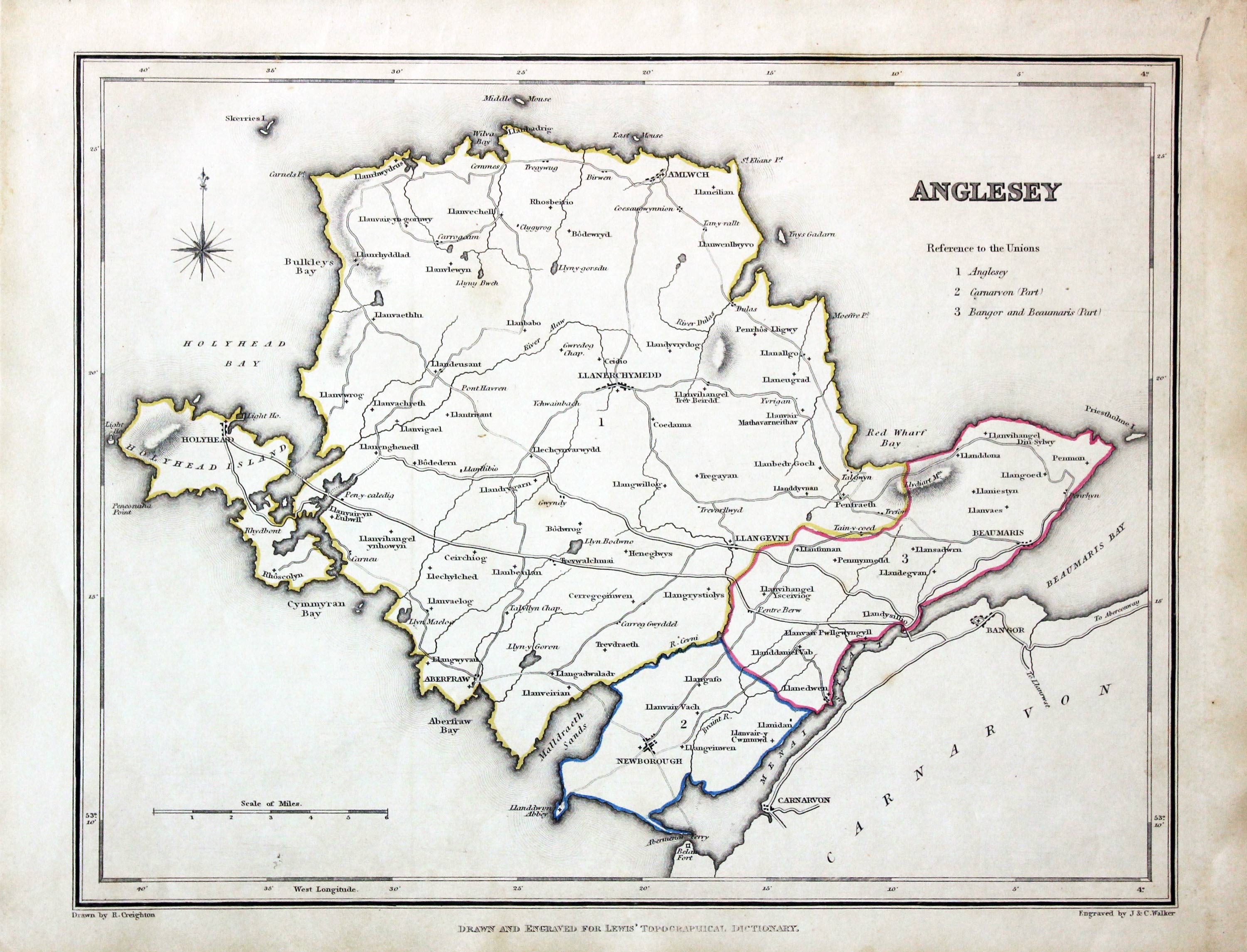
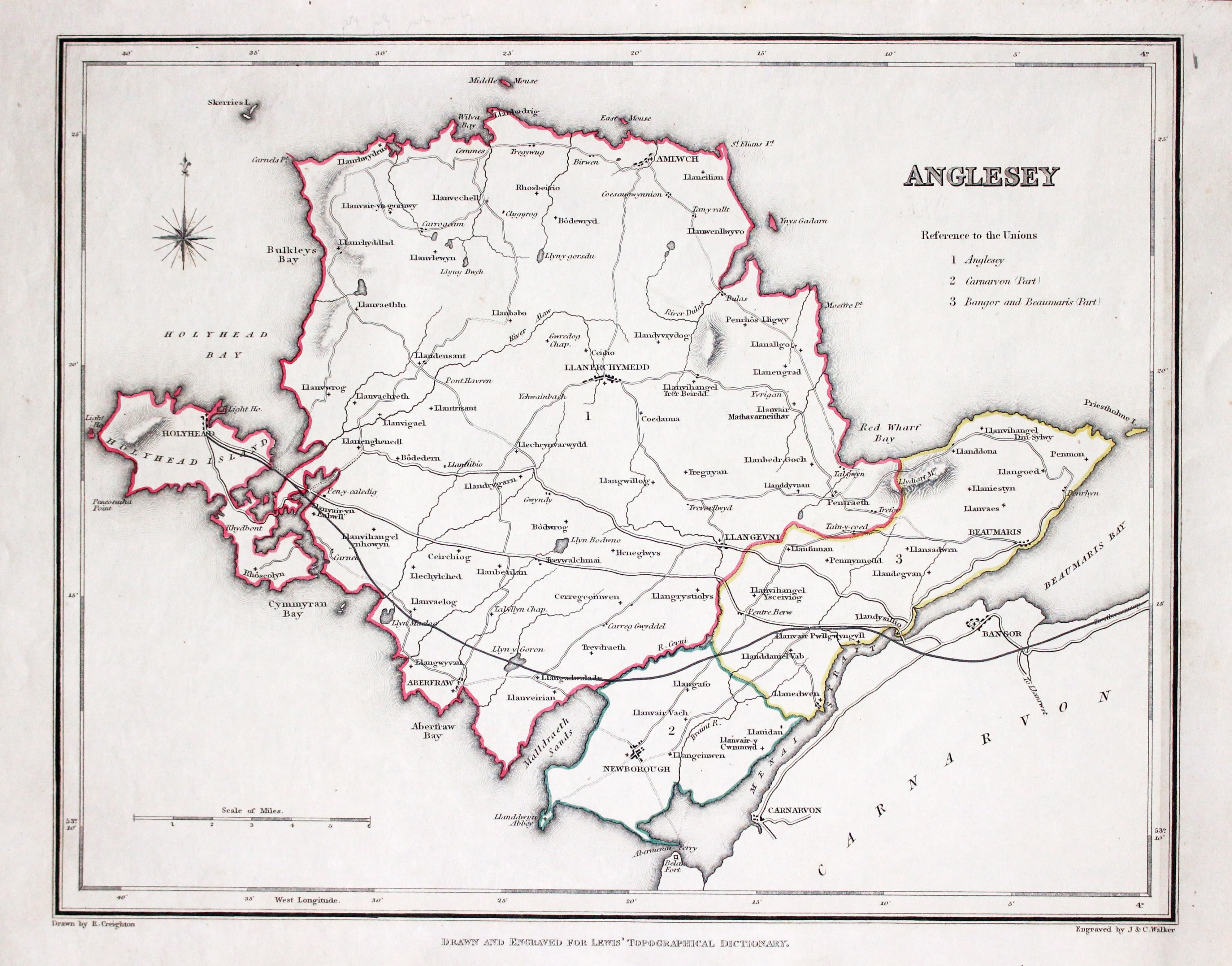
Anglesey, Samuel Lewis, 1845

31571 Anglesey, Samuel Lewis, 1845. Price: 24.00
ANGLESEY
A map drawn by R. Creighton and engraved by J. & C. Walker. 9 1/2 x 7 1/2 inches. Original outline hand colouring. Good clean condition. Straight from the atlas and not sold as a single map before now.
From: Lewis' Atlas to the Topographical Dictionaries of England and Wales
18th Century - County and Road Map
-
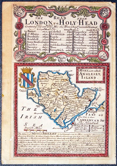
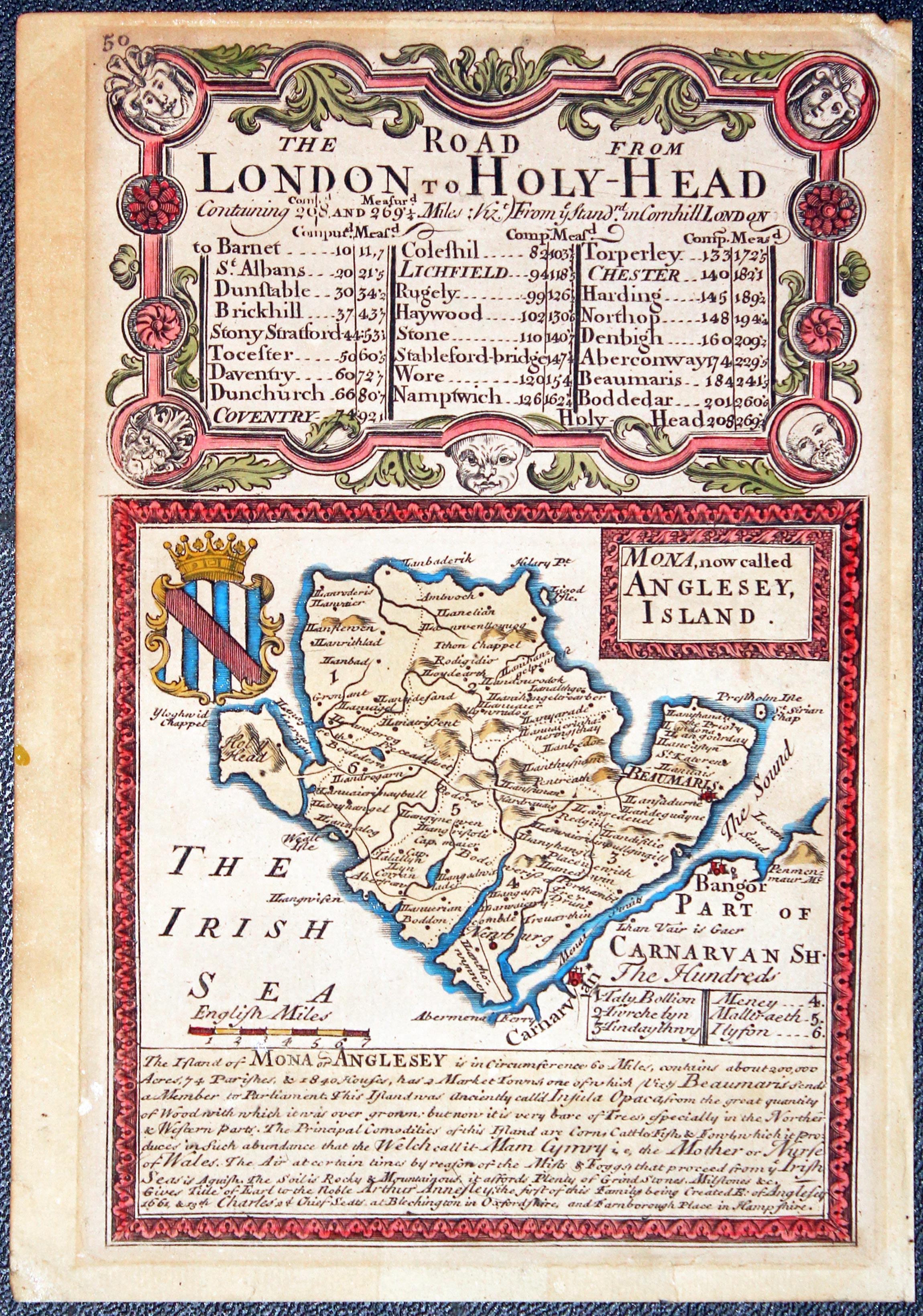
Anglesey, John Owen and Emaneuil Bowen, c.1730
31984 Anglesey, John Owen and Emanuel Bowen, c.1730, Price: 24.00
MONA,NOW CALLED ANGLESEY ISLAND
An interesting map of the island embellished with coat of arms and note. Surmounted by a decorative baroque cartouche titled The Road from London to Holyhead. Road map on verso from Maidstone to Hythe. 4 x 7 inches. County map side hand coloured, verso uncoloured. Paper toned, more heavilly on the road map side. Some traces of tape on verso where the map has been held in a mount previously.
From: Britannia Depicta

18th Century - County and Road Map
-
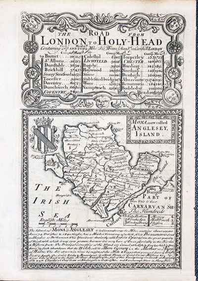
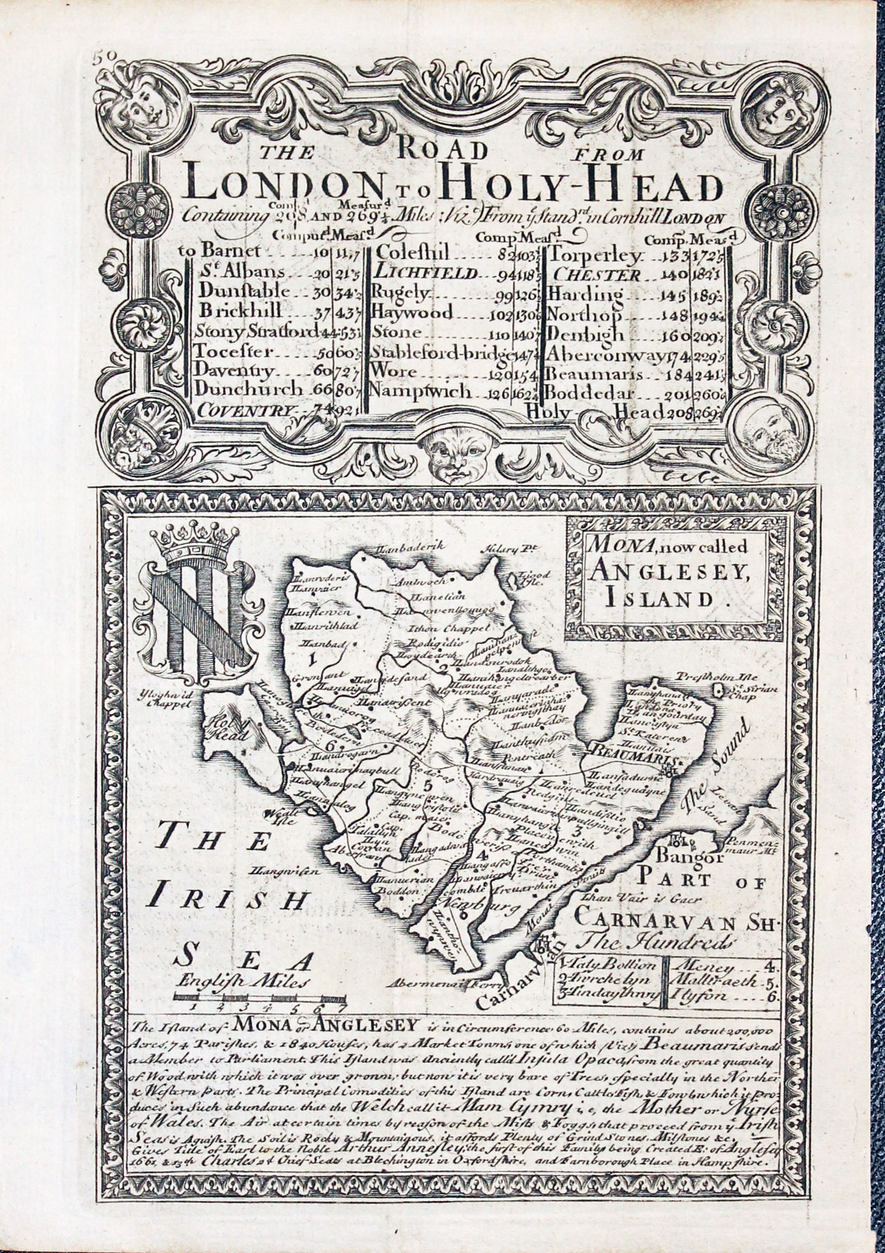
Anglesey, John Owen and Emaneuil Bowen, 1753
-

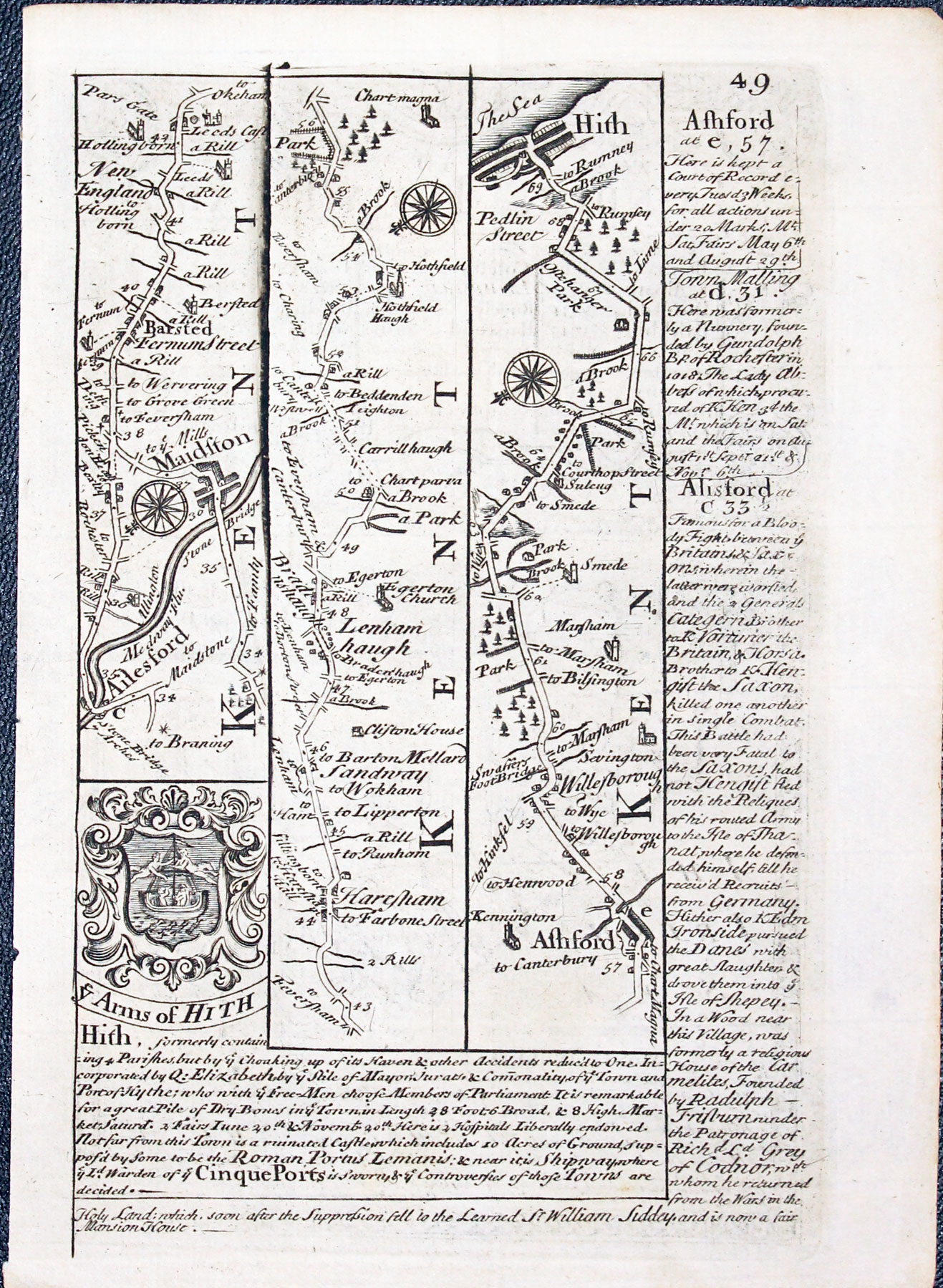
Road map Alresford to Hythe by John Owen and Emaneuil Bowen published in 1753
32391 Anglesey, John Owen and Emanuel Bowen, 1753, Price: 37.00
MONA, now called ANGLESEY ISLAND
An interesting engraved map of the island embellished with coat of arms and note. Surmounted by a decorative cartouche beari g the title The Road from London to Holyhead. Road map on verso from Maidstone to Hythe in Kent. 4 x 7 inches. Uncoloured Good condition. Straight from the atlas and not previously sold as a single map.
From: Britannia Depicta


PROVENANCE
At some time part of the Townsend Family library
Early 19th Century - Sea Chart
-
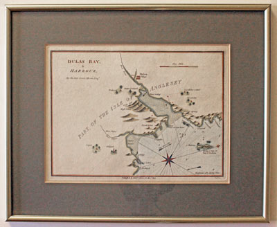
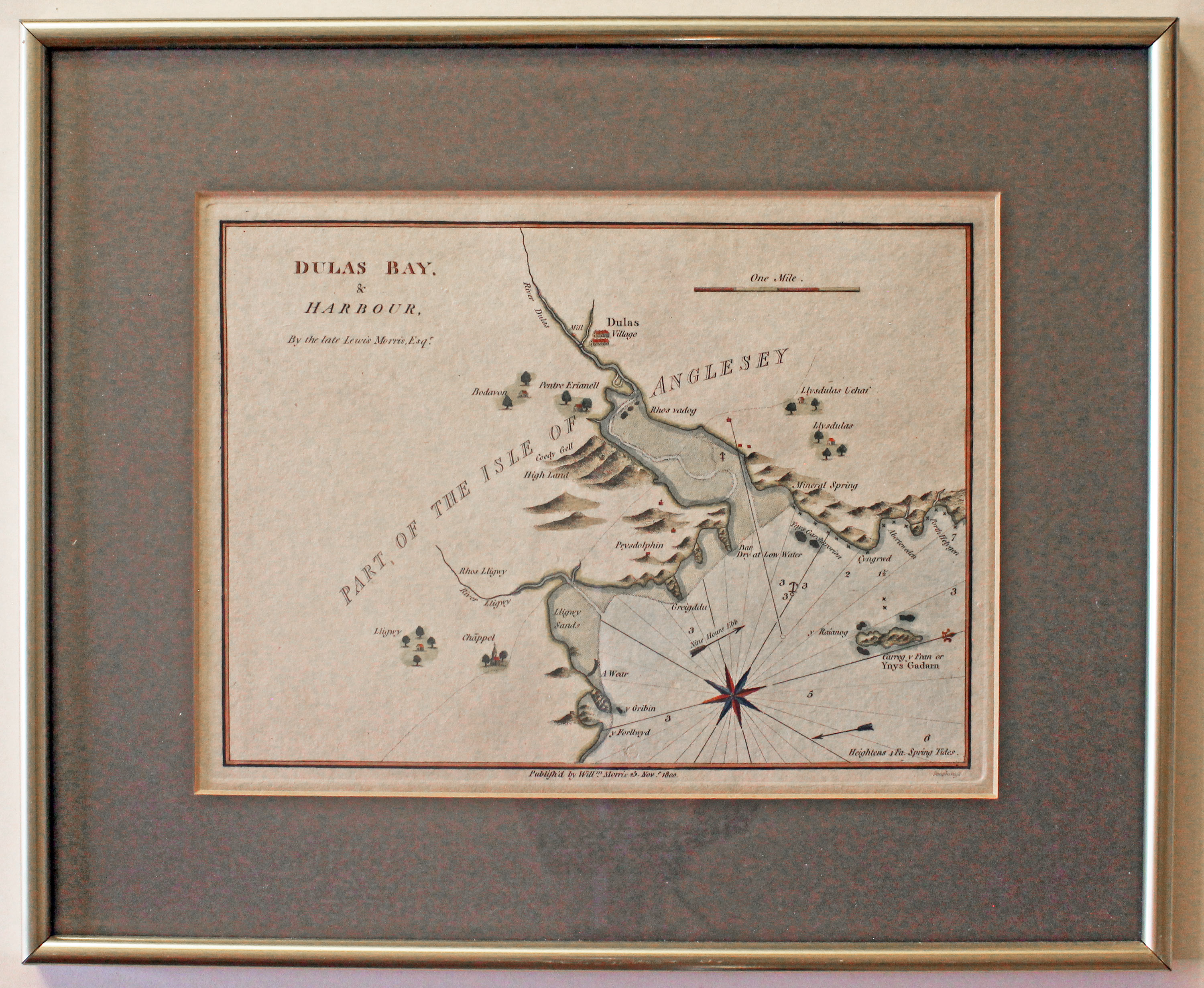
Chart of Dulas Bay, Angledsey by William Morris 1801

32609 Dulas Bay, William Morris, 1801. Price: 70.00
DULAS BAY & HARBOUR BY THE LATE LEWIS MORRIS ESQR
A most interesting chart of this part of the isle of Anglesey. with scale and compass rose. Imprint of William Morris below dated 1800. 9 1/4 x 6 3/4 inches. Attractive hand colouring. Good clean condition. In dark green sunk mount. Framed a number of years in a narrow gold hockey moulding which is still in fairly good condition. Ready to hang.
From: Plans of the Principal Harbours, Bays, and Roads in St. George’s and the Bristol Channels
This chart was last sold by me in 1990.
Only available to customers who can collect from Christleton
19th Century - Early Hand Colouring
-
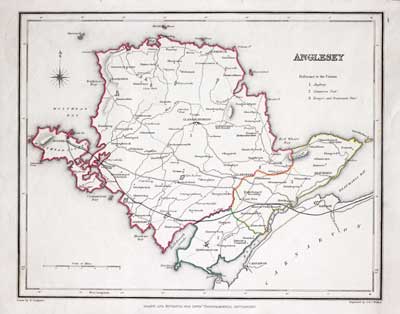
Map of Anglesey by Sameul Lewis 1848

32890 Anglesey, Samuel Lewis, 1848. Price: 25.00
ANGLESEY
A map drawn by R. Creighton and engraved by J. & C. Walker. 9 1/2 x 7 1/2 inches. Original outline hand colouring. Good clean condition. Straight from the atlas and not sold as a single map before now.
From Lewis' Atlas to the Topographical Dictionaries of England and Wales
Detailed
-

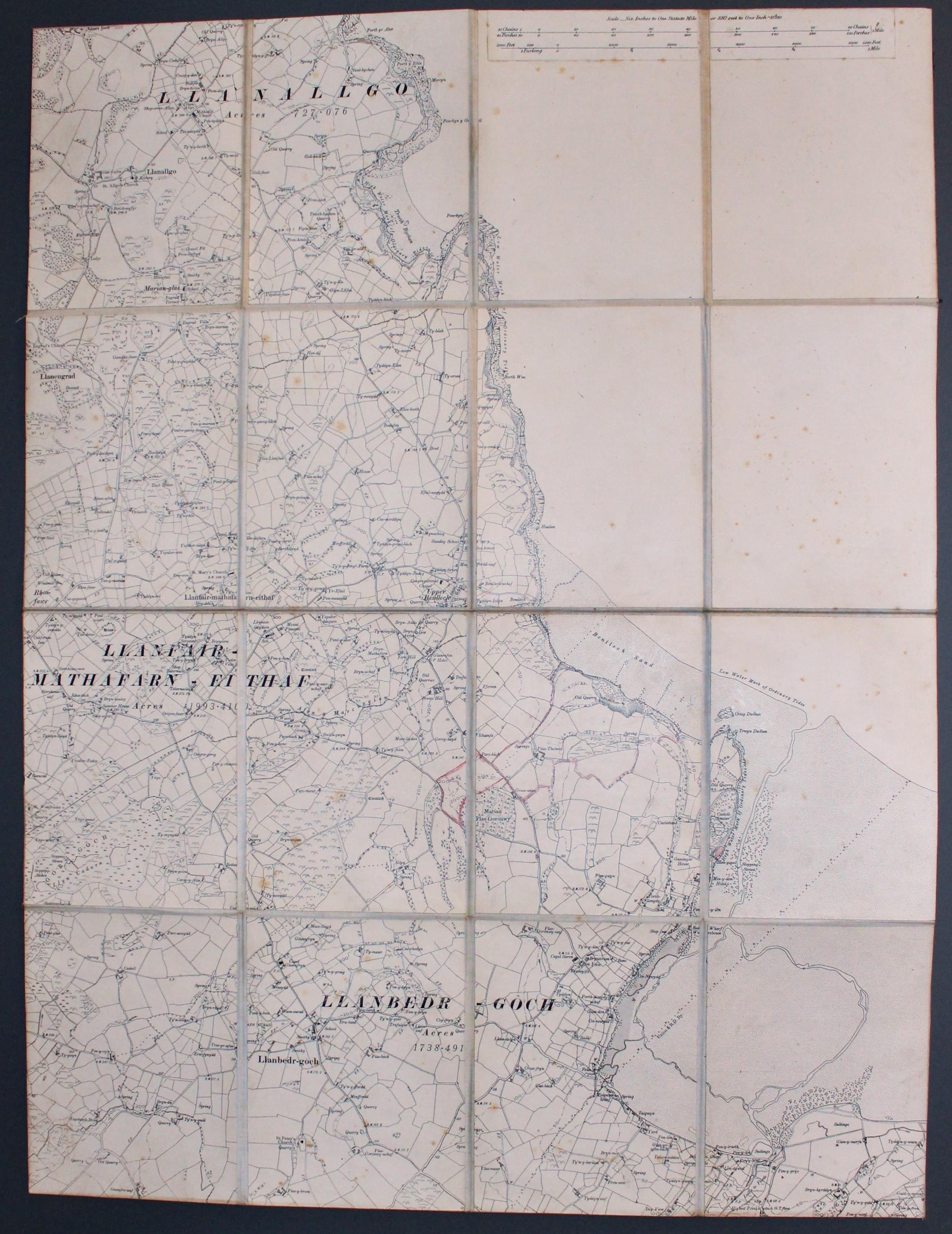
East Anglesey, Ordnance Survey c.1920
33212 East Anglesey, Ordnance Survey c.1920. Price: 14.00
LLANALLGO - LLANBEDRGOCH
A folding sectional map mounted on linen. It shows an area of East Anglesey from Llanallgo in the north to Llanbedrgoch in the south with the coastline including Benlloch Sands and Red Wharf Bay. Scale of 6 inches to the mile. The cover shows the name of the retailer Phillipson and Golder, Eastgate Row, Chester


