Original Antique Maps of London
Richard Nicholson of Chester
A WORLD OF ANTIQUE MAPS AND PRINTS
Established in 1961
All the Maps on this page are guaranteed to be genuine early specimens
published in or around the year stated
19th Century - Plan and Maps
-
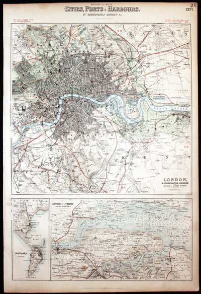
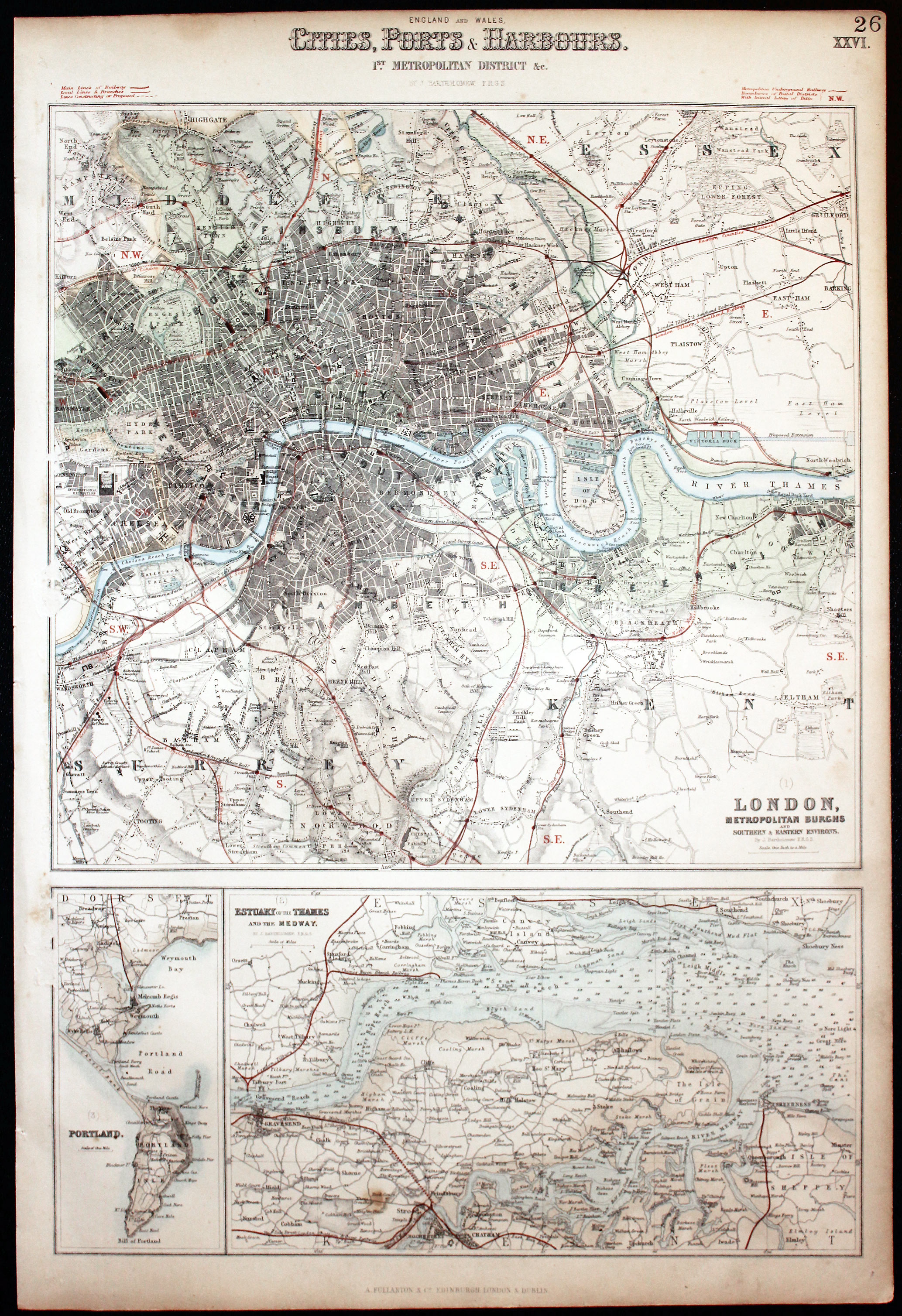
London, Thames, Medeay & Portland Archibald Fullarton 1862

24378 London, Thames and Portland, Archibald Fullarton, 1862. Price: 65.00
ENGLAND AND WALES. CITIES PORTS & HARBOURS 1st METROLPOLITAN DISTRICT &c.
A colour lithograph sheet showing three maps, The largest is London Metropolitan Burgs and Northern & Eastern Environs. The other maps are Estuary of the Thames and Medway and the smallest Portand. Together they measure some 11 1/2 x 16 1/2 inches. Some light soinging around the edges but otherwise good condition.
Late 18th Century - Town Plan and Road Map
-

Northaw Common and Enfield Chase John Cary 1786

24866 Plate 47. Round London, John Cary, 1786. 35.00
Includes Hayes, Farnborough and Down. 3 1/2 x 6 inches. Original hand colouring. Good condition
From an interesting series of section maps by John Cary on a scale of one inch to the mile showing the area 15 miles round London in 1786
17th Century - Bird's Eye View
-

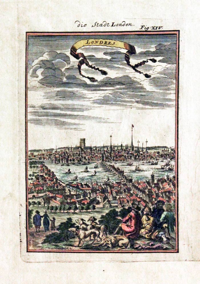
London, Alain M. Mallet, c.1685

29380 London, Alain M. Mallet, c.1685. Price: 125.00
LONDRES
An interesting miniature engraved view of London some 20 years after the Great Fire. Shows London Bridge and the Old St. Paul’s. Figures in the foreground with hounds. 3 3/4 x 5 1/2 inches. Attractive hand colouring. Good condition.
From: Description de L’Univers
Late 18th Century - Sea Chart
-

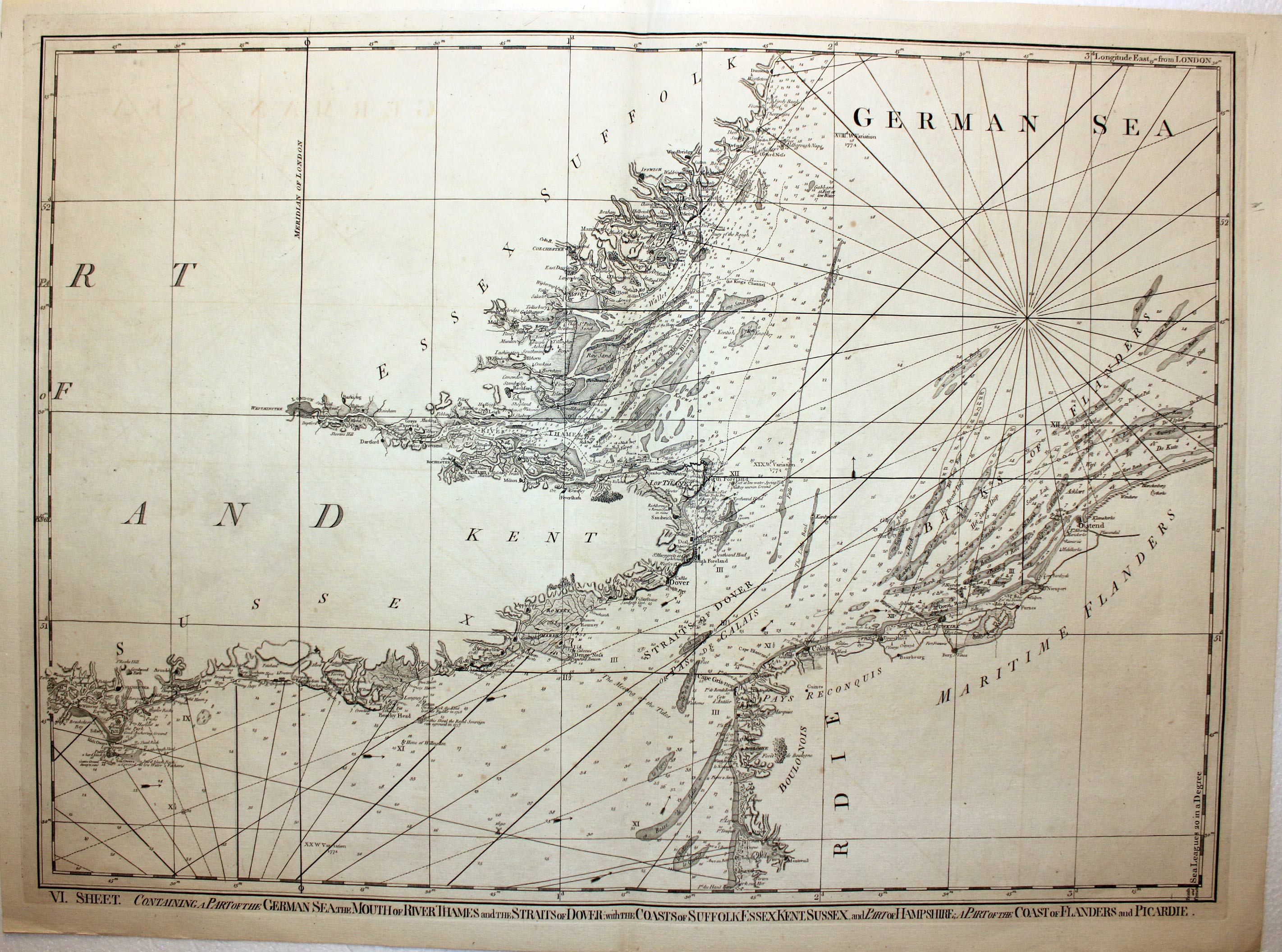
English Channel, Thomas Jefferys, 1794

22291 English Channel, Thomas Jefferys, 1794. Price: 220.00
VI SHEET. CONTAINING A PART OF THE GERMAN SEA, THE MOUTH OF THE RIVER THAMES AND THE STRAITS OF DOVER WITH THE COAST OF SUFFOLK, ESSEX, KENT, SUSSEX, AND PART OF HAMPSHIRE, A PART OF THE COAST OF FLANDERS AND PICARDIE.
A good detailed chart of the region. 27 1/4 x 19 1/2 inches. Uncoloured. Good clean condition.
18th Century - Town Plan
-

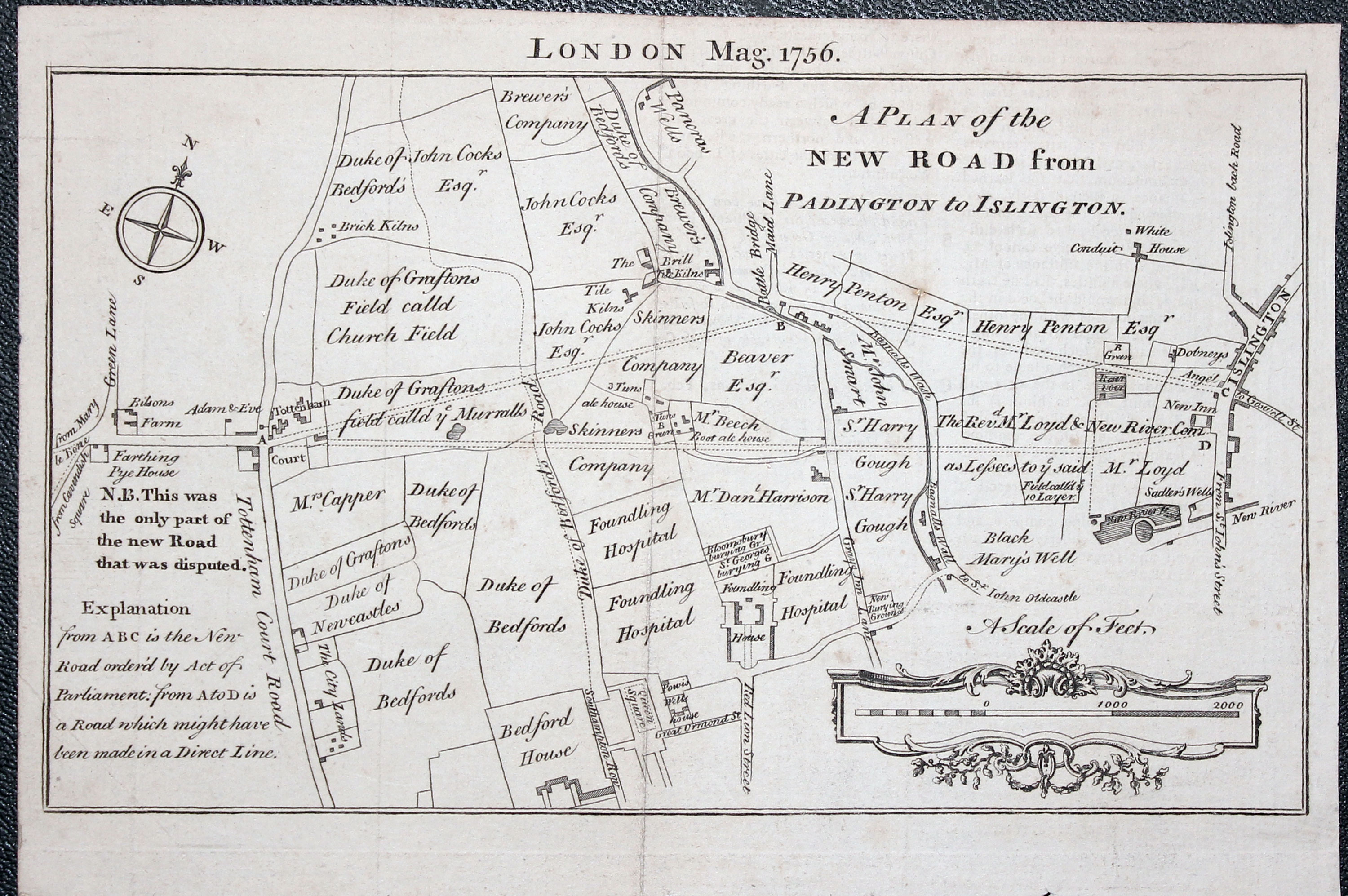
Plan of London, Creighton / Walker 1845

32131 Road from Paddington to Islington, London Magazine 1764. Price: 34.00
A PLAN OF THE NEW ROAD FROM PADINGTON TO ISLINGTON
An interesting engraved map of the history of roads in London. London Mag. 1756 appears above. The scale is displayed within a rococo cartouche. 8 x 4 1/2 inches. Uncoloured. Fold creases as issued. Good condition.
Early 18th Century - London Ward Map
-

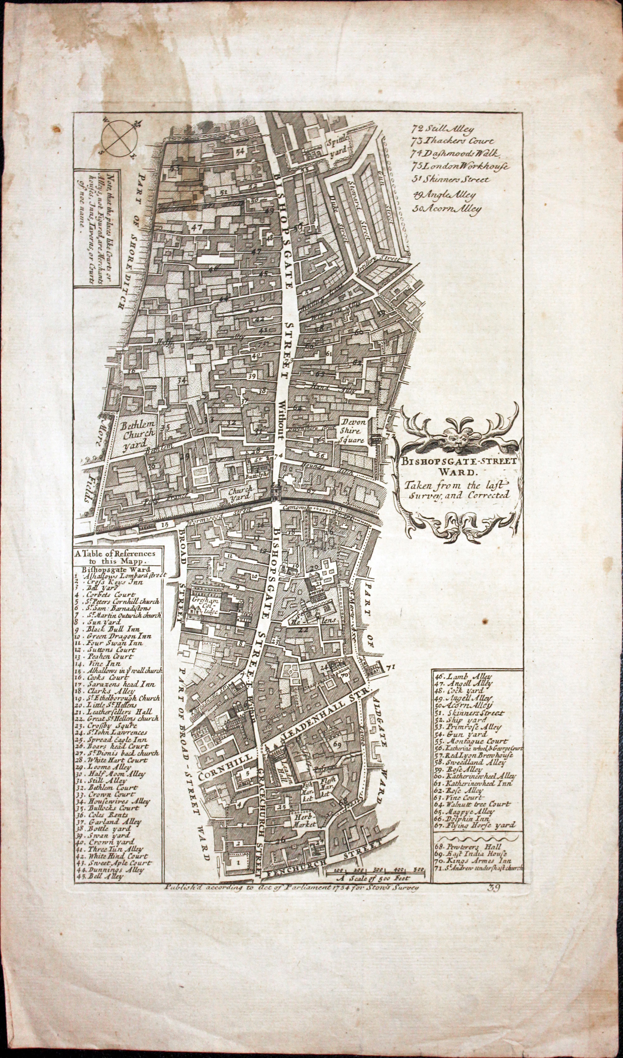
Bishopgate Ward London Richard Blome 1755

32235 Bishopgate Ward, Richard Blome, 1755. Price: 26.00
BISHOPGATE-STREET WARD TAKEN FROM THE LAST SURVEY AND CORRECTED
An interesting engraved map of the Bishopgate area of London. t shows the hole of Bishopgate Street which then extends into Gracechurch Street, showing the streets on each side. A useful key lists 71 buildings, steets and alleys. 7 x 12 inches. Uncoloured. Light stain in the top left hand corner and some light creasing in the bottom right hand corner blank margin. Other light soiling. Special Price.
Originally produced by Richard Blome in the late 17th century this map comes from John Stow’s Survey of London published in 1755. Blome’s name was erased from the cartouche for this edition.
Early 18th Century - St. James' Palace Plan
-

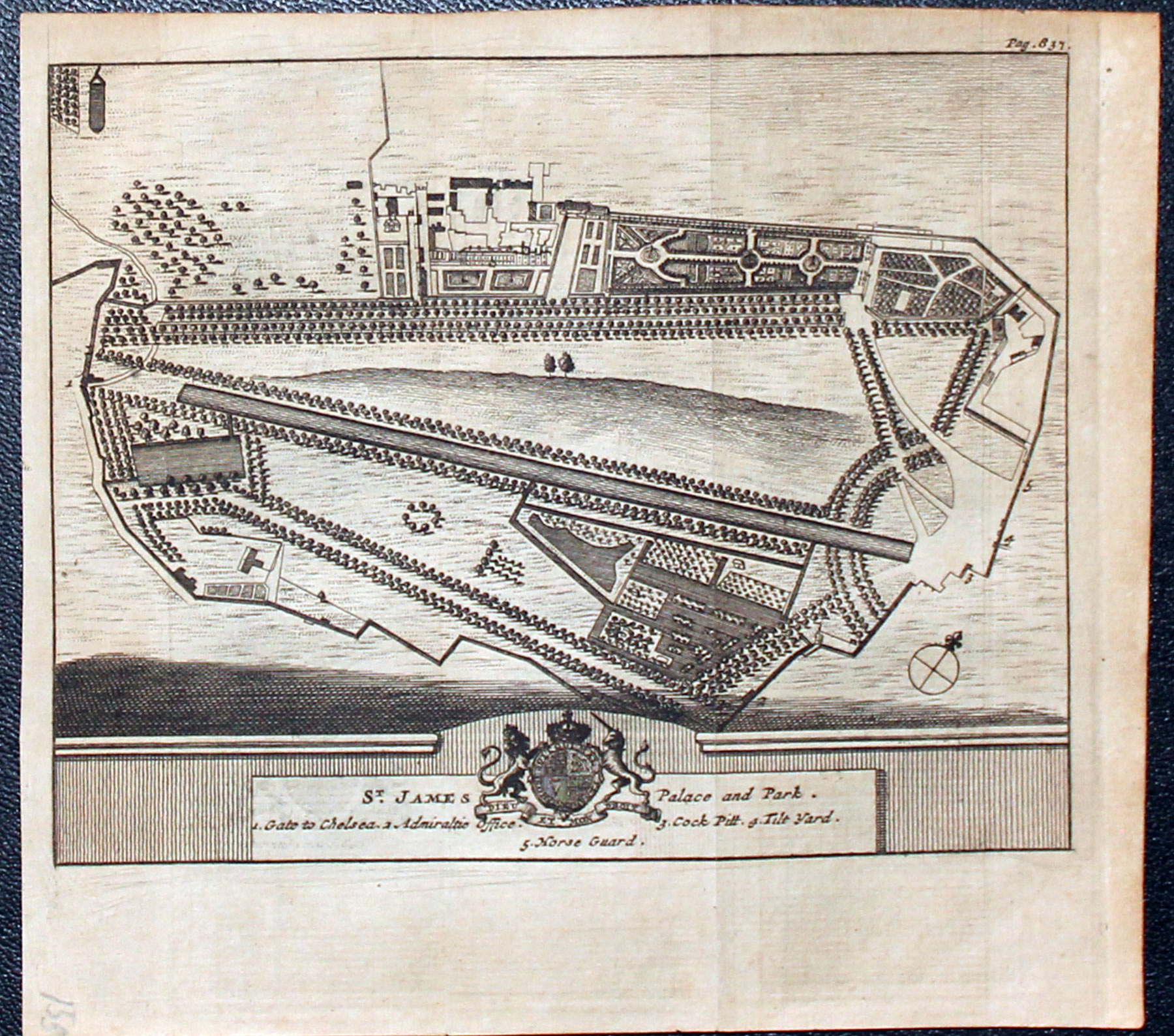
St.James Palace, London Pieter van der Aa
32317 St. James' Palace, Pieter van der Aa, 1707. Price: 30.00
ST. JAMES PALACE AND PARK
An interesting engraved plan with the royal arms beneath and a key showing the location of Gate to Chelsea, Admiralty Office, Cock Pit, Tilt Yard and Horse Guard. 6 x 4 3/4 inches. Uncoloured. Lightly toned. Good condition.
From: James Beverell's "Les Delices de la Grande Bretagne" published by Pieter van der Aa, Leiden
Late 19th Century - London Town Plan
-

St.James Palace, London Pieter van der Aa

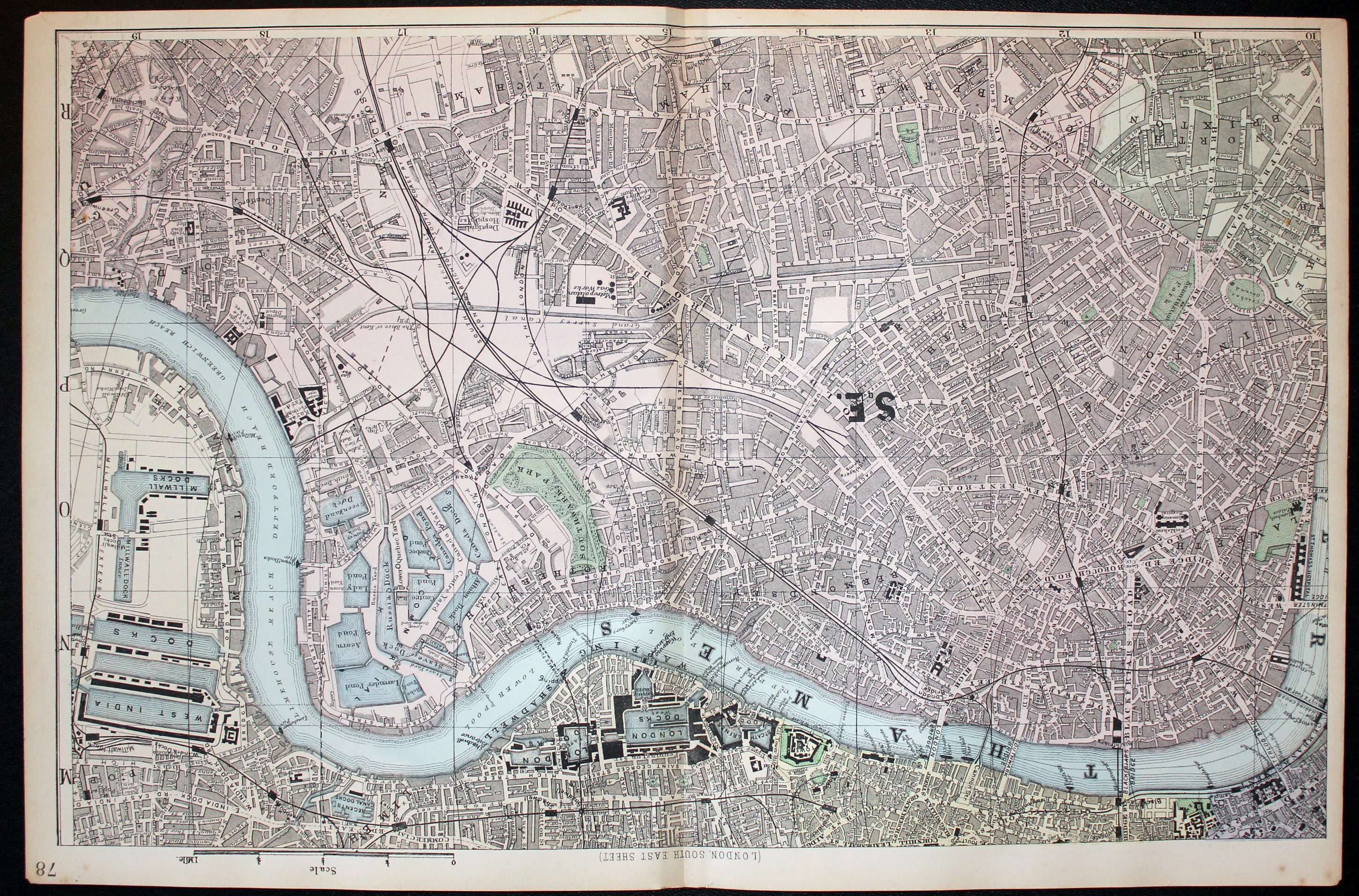
32537 South East London, John Bartholomew, c.1883. Price: 55.00
LONDON SOUTH EAST SHEET
An interesting detailed colour lithograph plan of London showing the River Thames from Lambeth Palace past the London Docks to Greenwich Reach. Area south of the Thames inclusing, Kennington Park, North Brixton, Camberwell Peckham, Old Kent Road, Hatcham and Greenwich. 19 1/4 x 12 1/4 inches. Good clean condition.
From: The New Ordnance Atlas of the British Isles
20th Century Ordnance Survey Map
-

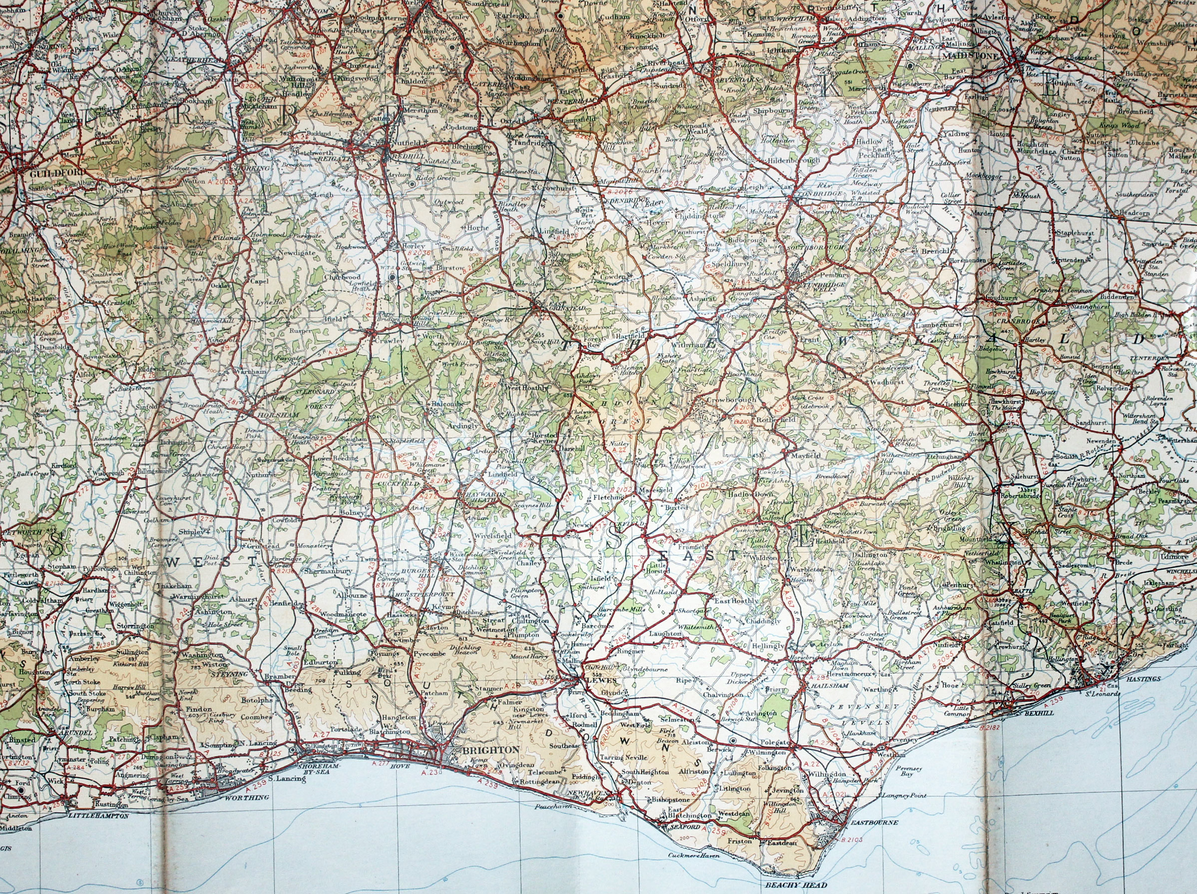
South East England Ordnance Survey 1934
-
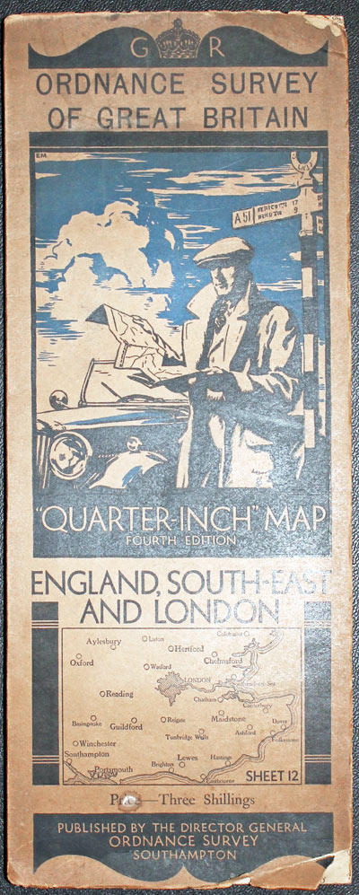
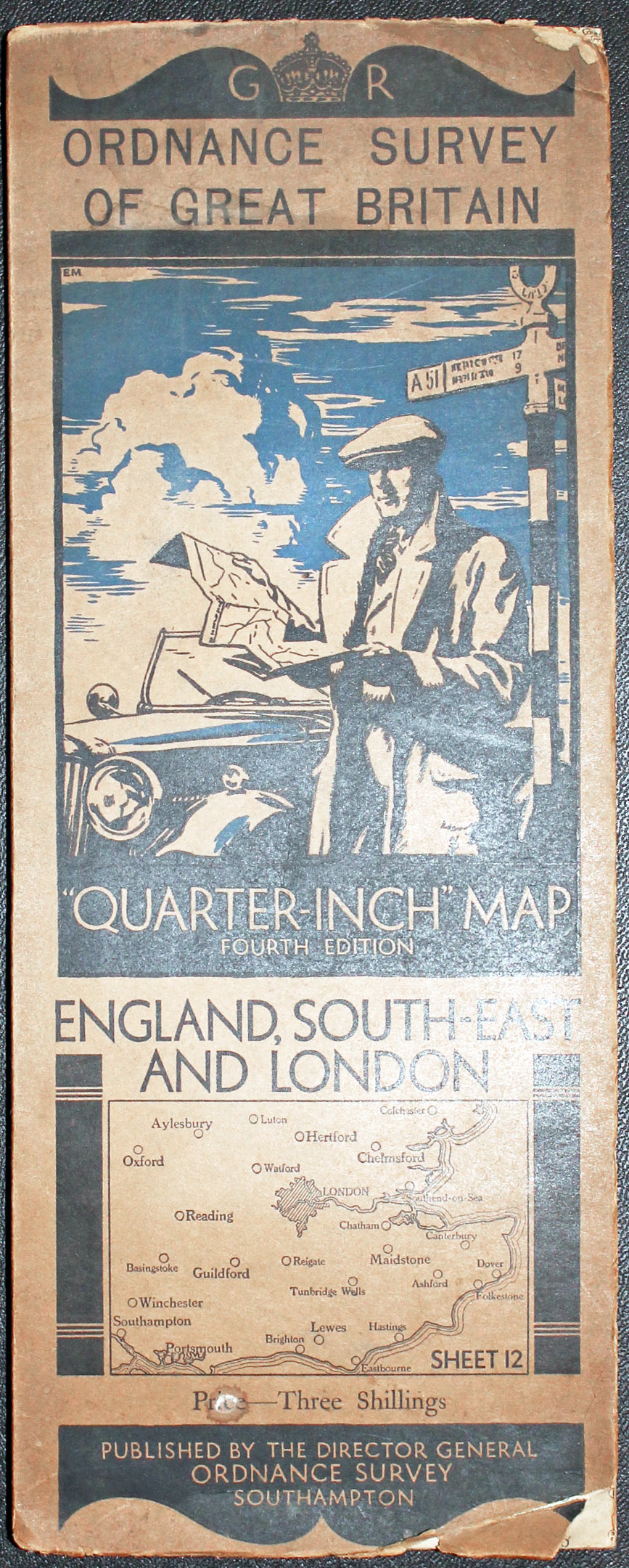
Map cover Ordnance Survey South East England 1934
32587 South East England, Ordnance Survey, 1934. Price: 10.00
ENGLAND, SOUTH-EAST AND LONDON
The 4th edition of this Ordnance Survey of Great Britain “Quarter Inch” Map. Sheet 12. Centred on London and showing the south est from Colchester Luton and Aylesbury in the north to the south coast with Portsmouth Brighton and the whole of Kent. Folding sheet showing 24 town plans. Some 34 x 22 inches. Mounted on linen and folding. Pictorial titled cover. The map is in fine clean condition. The cover is toned with slight damage to the top and bottom edges.
18th Century - London Ward Map
-

Billinsgate and Bridge Wards, London by Benjamin Cole c.1760

33027 Billingsgate and Bridge Wards, Benjamin Cole, c.1760. Price: 37.00
BILLINGSGATE WARD AND BRIDGE WARD WITHIN THEIR DIVISINS INTO PARISHES ACCORDING TO A NEW SURVEY
An engraved plan showing part of the City of London with London Bridge, Fish Street, Gracechurch Street, Thames Street and Pudding Lane. The plan is embellished with a rococo title cartouche, two coats of arms and engravings of St. Mary at Hill and St. Botolph churches. 14 12 x 9 1/4 inches. Uncoloured. Small top and bottom blank margins with very sight trimming to the end word Within. Light toning.
19th Century - Plan of London
-

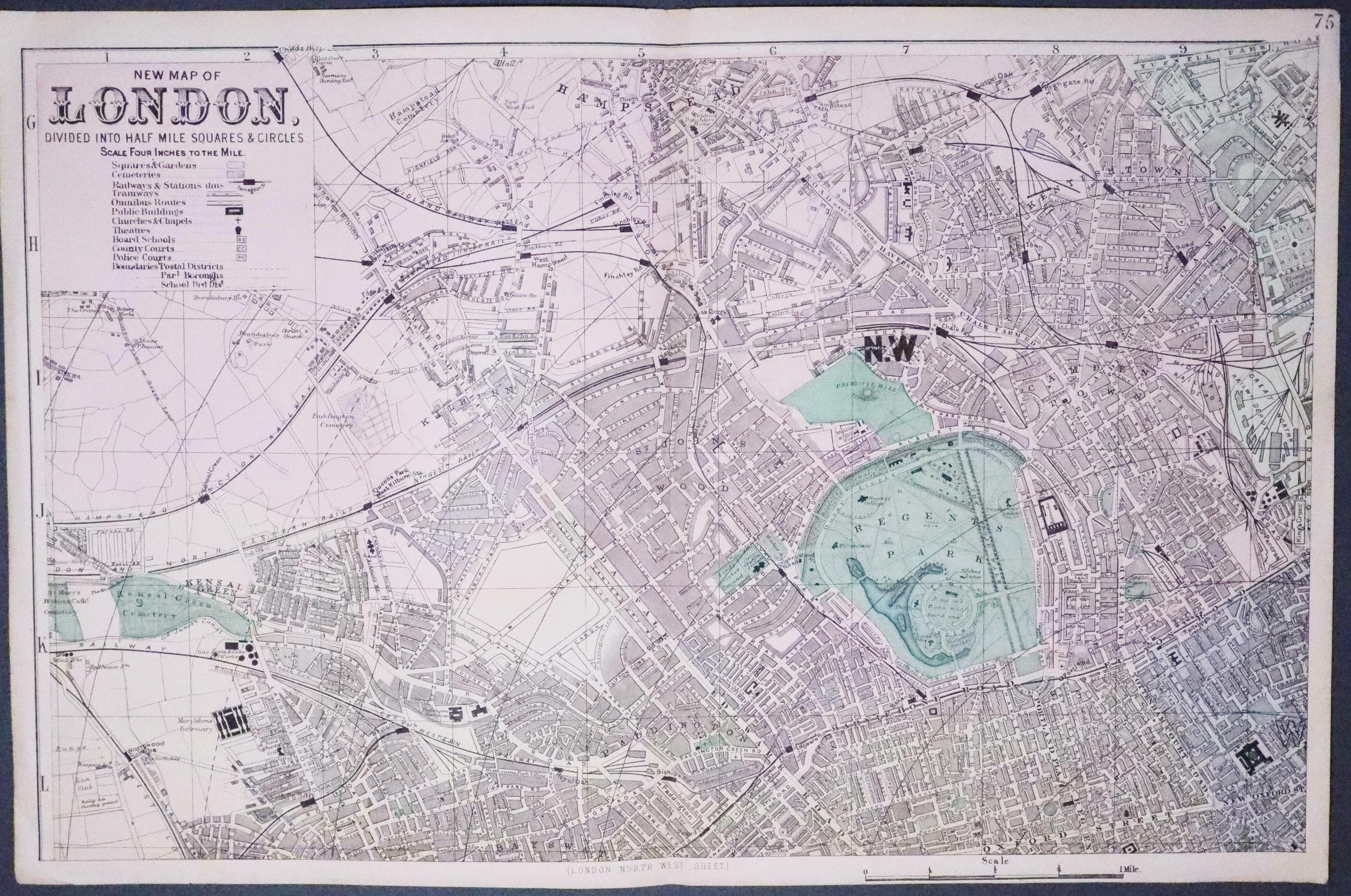
North West London By G. W. Bacon c.1883

North West London, George Washington Bacon, c.1883. Price: 68.00
NEW MAP OF LONDON DIVIDED INTO HALF MILE SQUARES & CIRCLES
An interesting detailed lithograph plan of part of London including John’s Wood, Camden Town, Kentish Town, Regents Park Paddington Station, Tottenham Court Road and part of Oxford Street. 19 1/4 x 12 1/4 inches. Original centre fold. Good clean condition.
From: The New Ordnance Atlas of the British Isles
19th Century - Folding Map of London
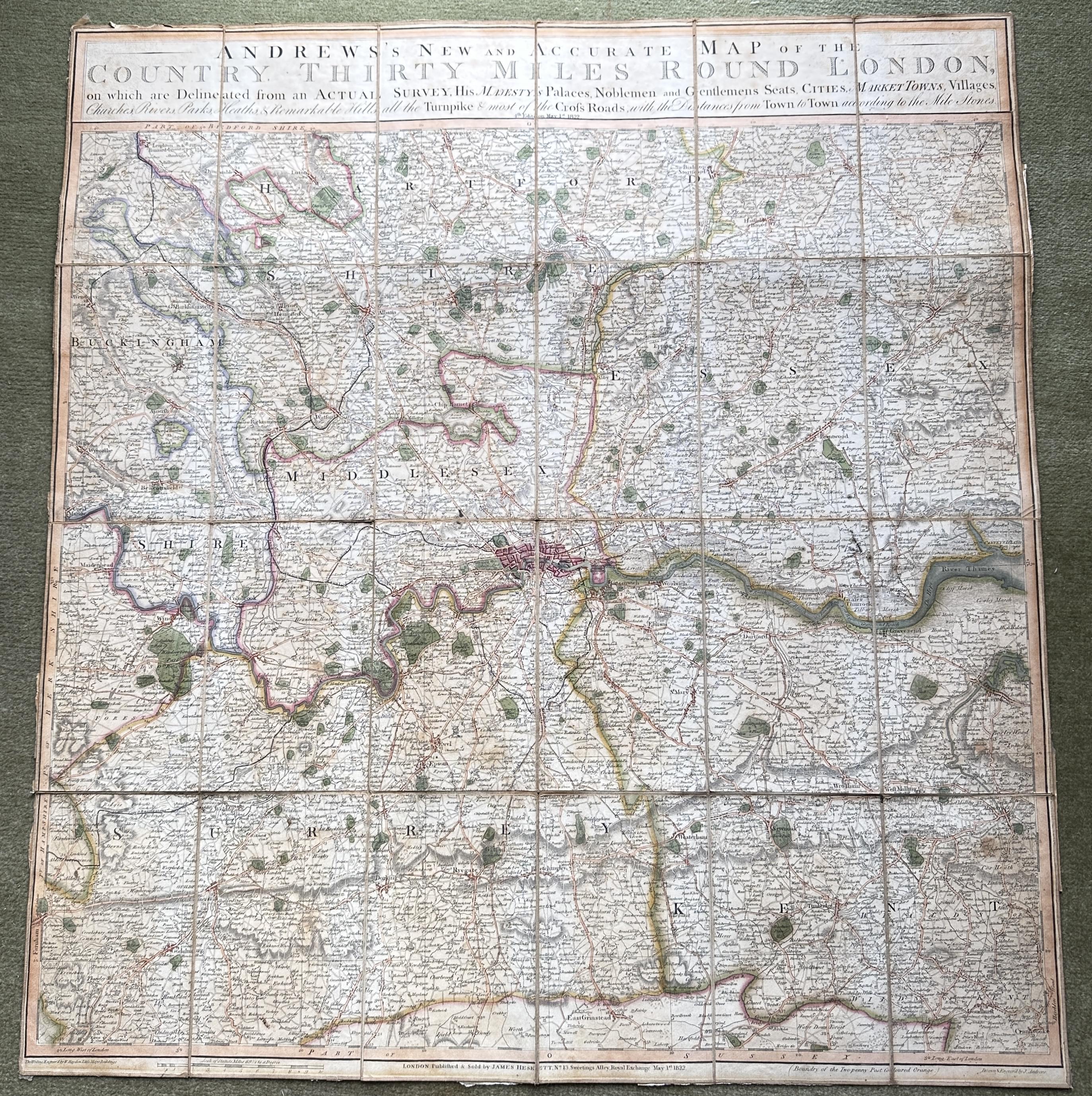
33365 Thirty Miles Round London, Joh Andrews, 1822. Price: 140.00
Andrews's New and Accurate Map of the Country Thirty Miles round London, on which are Delineated from an Actual Survey His Majesty's Palaces, Noblemen and Gentlemen's Seats, Market Towns, Villages, Churches, Rivers, Parks, Heaths & Remarkable Hills, all the Turnpike & most of the Cross Roads with the Distances from Town to Town according to the Mile Stones
Andrews's New and Accurate Map of the Country Thirty Miles round London, on which are Delineated from an Actual Survey His Majesty's Palaces, Noblemen and Gentlemen's Seats, Market Towns, Villages, Churches, Rivers, Parks, Heaths & Remarkable Hills, all the Turnpike & most of the Cross Roads with the Distances from Town to Town according to the Mile Stones
A folding engraved map in 24 sections with original hand colouring and laid on linen. The panel across the top displays the title and “4th Edition on May 1st 1822”. The publishers imprint beneath the map reads “London. Published & Sold by James Heskett, No. 13 Sweetings Alley, Royal Exchange May 1st 1822” Occasional small holes in the linen and a split in the right-hand end of the central horizontal fold that extends for 1 1/2 sections. Otherwise good condition. Where is the map is the original marbled slipcase with a printed label. This is worn and rubbed. Brown paper strips have been added to the verso to strengthen some of the folds which makes it more difficult for the map to be put into the slipcase.
James Howgego. Printed Maps of of London 1553 - 1850, number 172. A variant state of number 5 which is dated August 1st.

Old Tradesmen's Bills - London
-

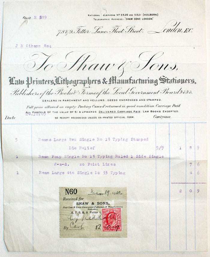
Old London Bill
Old bills from tradesmen are an invaluable reference and resource when looking into ancestry and local history.
Click the button below to see old bills of London tradesmen I currently have in stock.


