Antique Maps of Devonshire
Richard Nicholson of Chester
A World of Antique Maps and Prints
Established in 1961
All the Maps on this page are guaranteed to be genuine early specimens
published in or around the year stated
18th Century Antique Devon Road from Exeter to Torrington
xxx
-

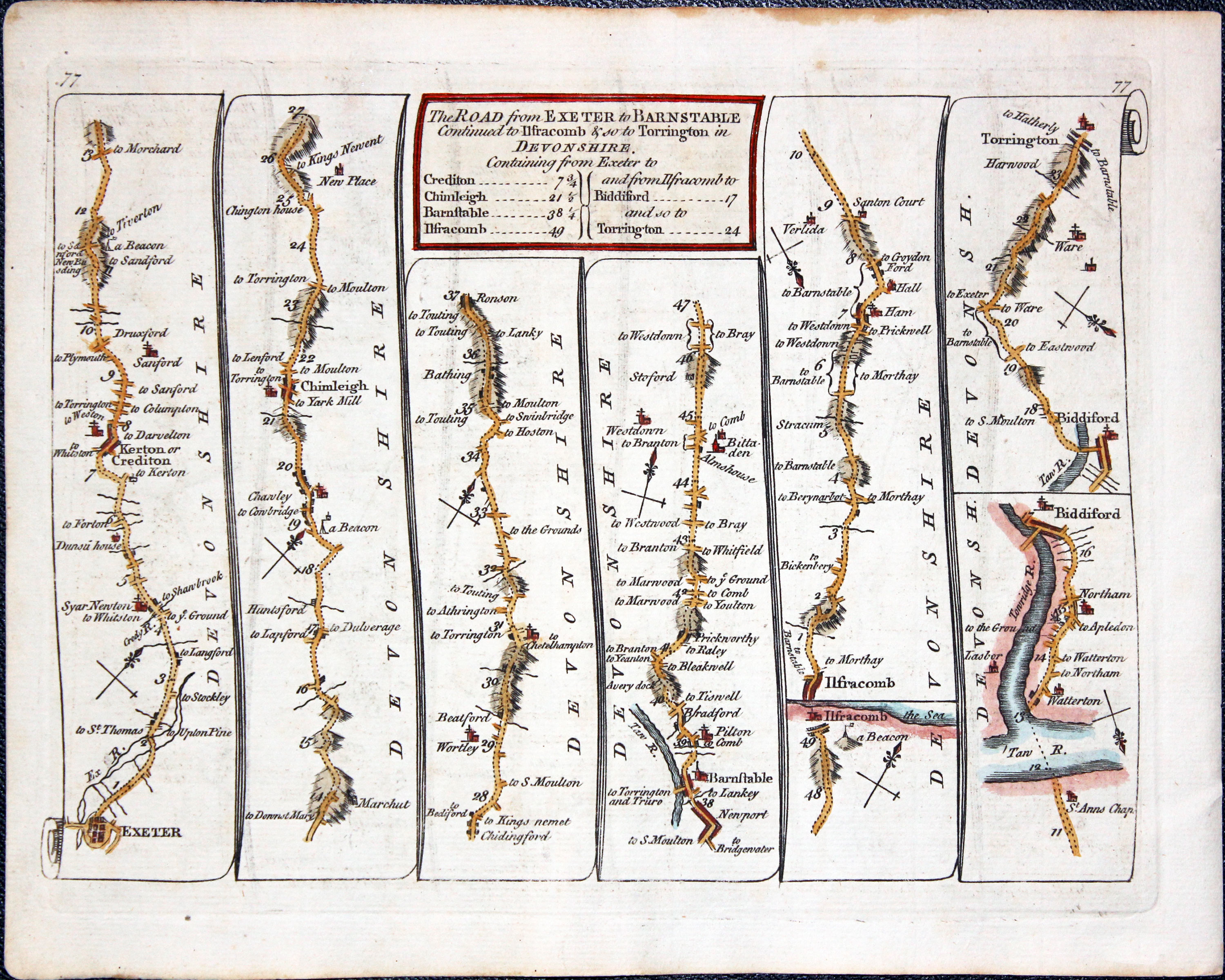
Road Map Exeter to Torrington, Thomas Kitchin 17678
-

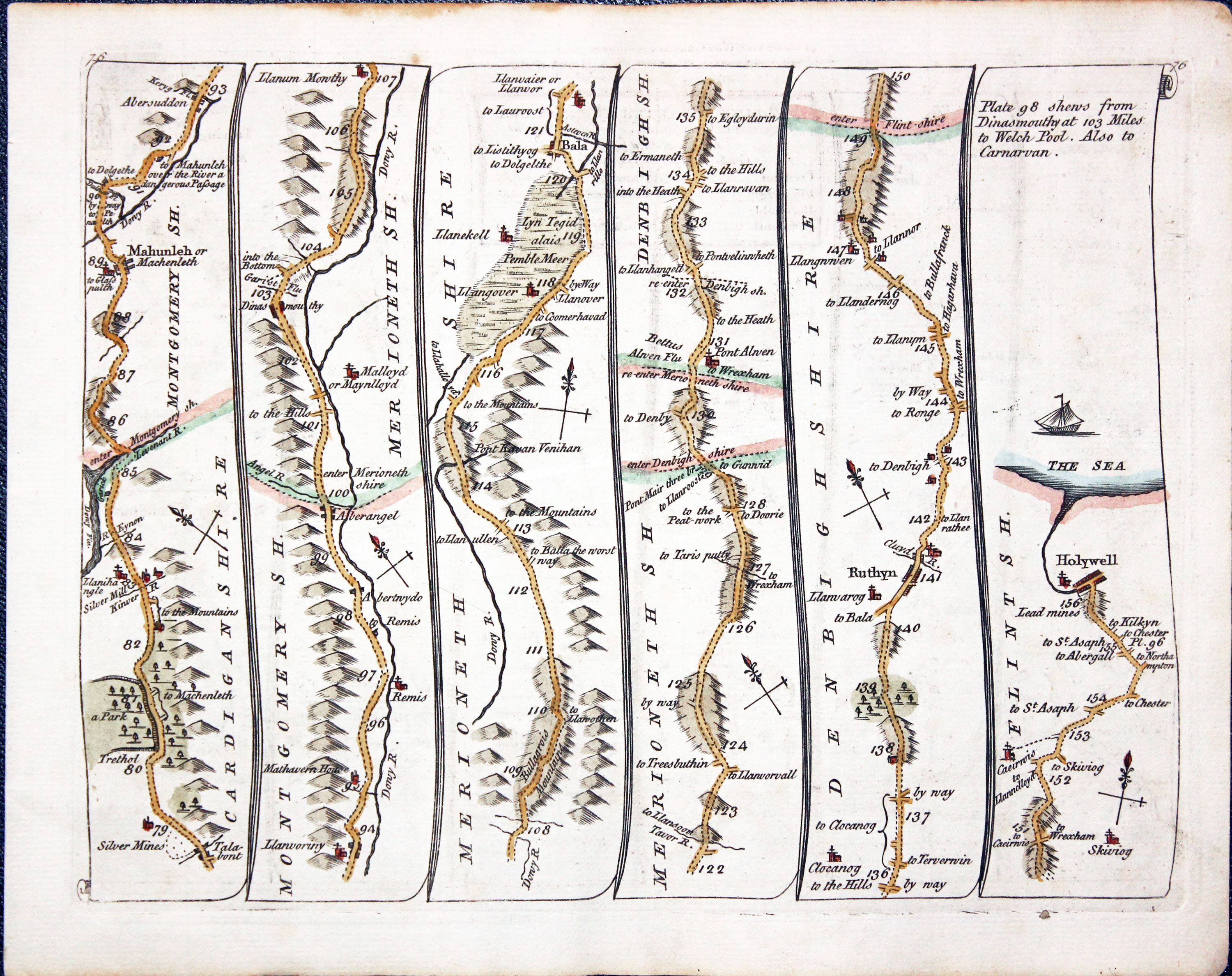
Road Map Talabon to Holywell, Thomas Kitchin 17678

27061 Plate 76/77, Thomas Kitchin, 1676. Price: 45.00
Side 76. Untitled
Talybont, Machynlleth, Bala, Ruthin, Holywell.
Side 77. The Road from EXETER to BARNSTAPLE continued to IFRACOMBE & so to TORRINGTON in Devonshire
Exeter, Crediton, Chumleigh, Barbstaple, Ilfracombe, Bideford, Torrington.
8 x 6 inches. Hand coloured. Fine condition.
Early 19th Century - Original Hand Colouring
-
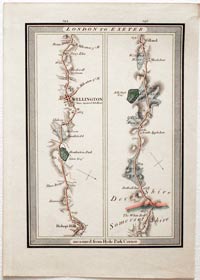
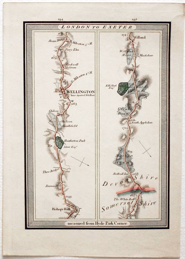
Road Map 194 / 195, London to Exeter. Edward Mogg, 1817

27992 Road Map 194 / 195, London to Exeter. Edward Mogg, 1817. Price: 42.00
LONDON TO EXETER
An engraved strip road map showing part of the route Bishop’s Hull, Wellington, Willand. 5 1/2 x 8 inches. Early hand colouring. Good clean condition.
From: Edward Mogg’s Survey of the High Roads of England and Wales, Planned on a Scale of one Inch to a Mile, Including the Seats of the Nobility and Gentry, and every object, worthy of remark, whether situated on, or contiguous to the Road. Dedicated to H.R.H The Prince Regent (future George IV). Published June 2nd 1817 by Edward Mogg, No. 51, Charing Cross, London. Printed by Whittingham and Rowland, Printers, Goswell Street
Late 19th Century
-
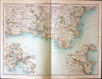
Part of Devon and Cornwall, John Bartholomew, c.1898

30829 Part of Devon and Cornwall, John Bartholomew, c.1898. Price: 18.00
SECTION XXXI. PLYMOUTH
A colour printed map showing part of Cornwall and part of southern Devon. Inset maps of Plymouth and the Torquay and Brixham areas. Scale of 4 miles to the inch. Shows the railways. Centre fold. 16 1/2 x 12 1/2 inches. Good clean condition.
From: The Royal Atlas
Victorian and Unusual
-
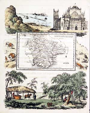
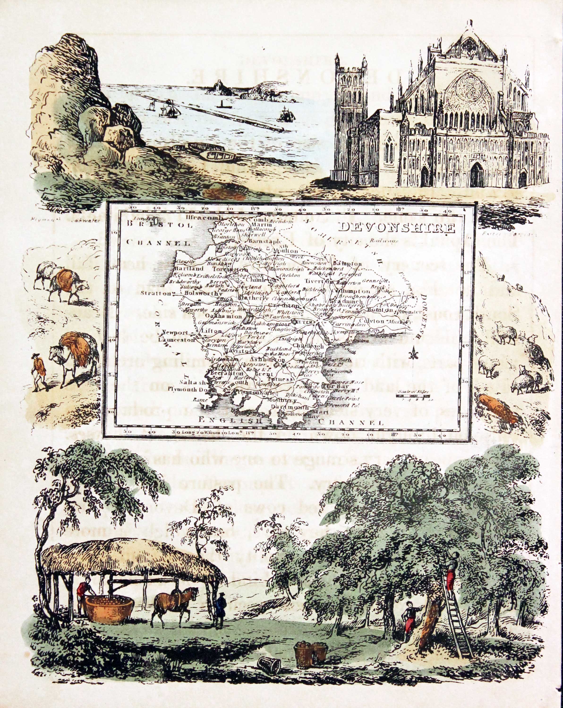
Devonshire, Reuben Ramble 1845

31367 Devonshire, Reuben Ramble, c.1845. Price: 95.00
DEVONSHIRE
An uncommon lithograph miniature map of the county surrounded by a wide border of vignette views of local scenes including Exeter Cathedral, Plymouth and Fruit Picking. The maps first appeared in Miller’s New Miniature Atlas published in 1810. The decorative views were added and the maps republished by Darton & Clark in “Reuben Ramble’s Travels Through the Counties of England” in 1844. 5 3/4 x 7 1/4 inches. This is the size of overall area and not the contained map. Original hand colouring. With this map is the original double sided page of text describing the county.
Late 19th Century
-
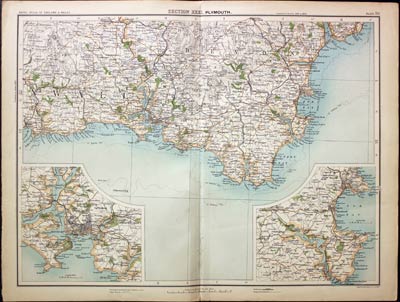
Part of Devon, John Bartholomew, c.1898

31505 Part of Devon, John Bartholomew, c.1898. Price: 18.00
SECTION XXXI. PLYMOUTH
A colour printed map showing part of Cornwall and part of southern Devon. Inset maps of Plymouth and the Torquay and Brixham areas. Scale of 4 miles to the inch. Shows the railways. Centre fold. 16 1/2 x 12 1/2 inches. Good clean condition.
From: The Royal Atlas
19th Century
-
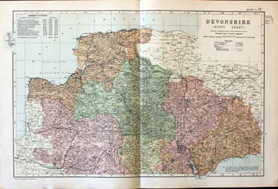
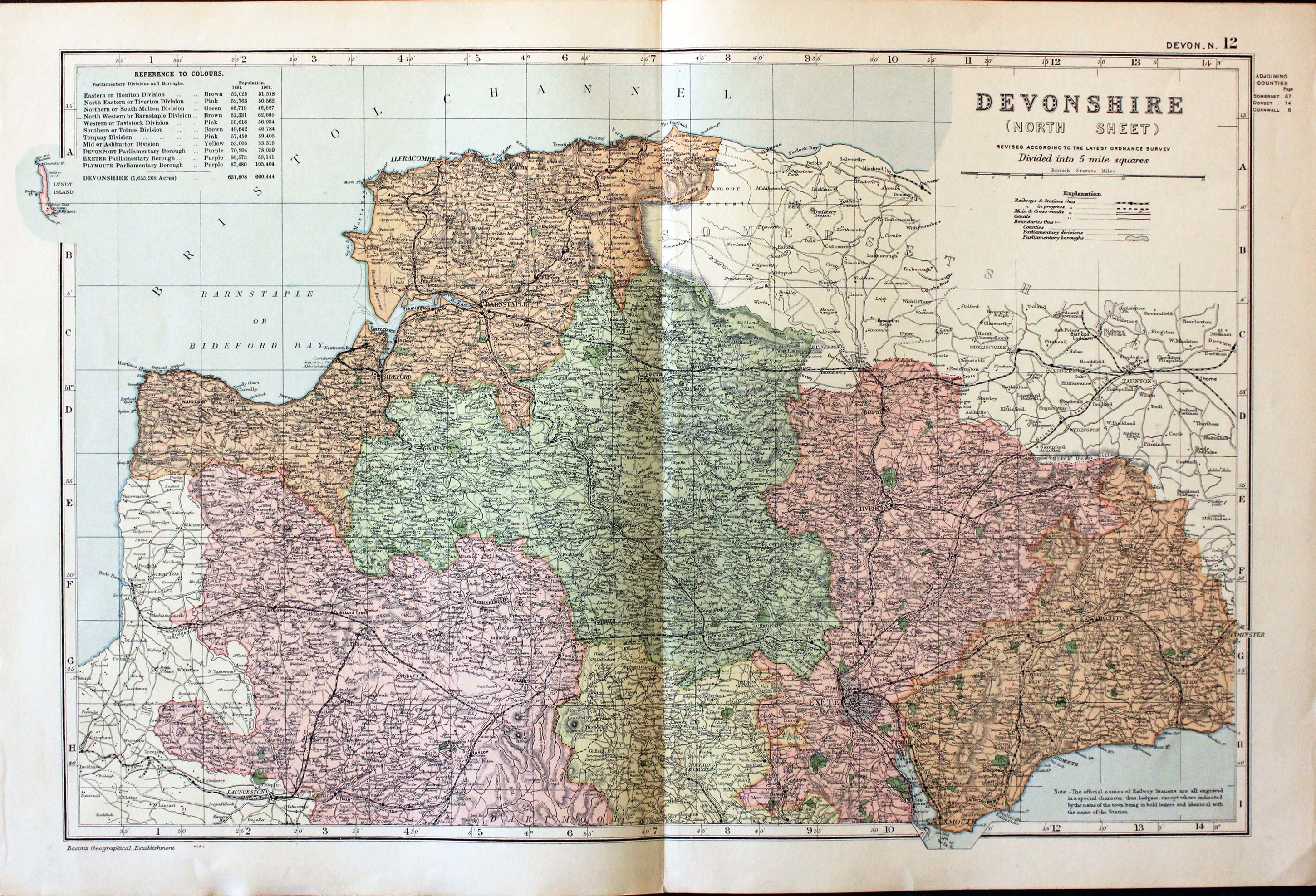
North Devonshire, George Washington Bacon, c.1900

31656 North Devon, George Washington Bacon, c.1900. Price: 18.50
DEVONSHIRE (NORTH SHEET) REVISED ACCORDING TO THE LATEST ORDNANCE SURVEY. DIVIDED INTO 5 MILE SQUARES
A good detailed Edwardian colour printed map of the northern half of Devon. Shows the railways and Divisions with key. Original centre fold 18 1/4 x 12 inches. Good condition.
Late 19th Century
-

South Devonshire, George Washington Bacon, c.1900

31657 South Devon, George Washington Bacon, c.1900. Price: 18.50
DEVONSHIRE (SOUTH SHEET) REVISED FROM THE ORDNANCE SURVEY. DIVIDED INTO 5 MILE SQUARES
A good detailed late 19th century colour printed lithograph map of the southern part of the county. Shows the railways. 12 x 18 inches. Small spit at the top of the centre fold otherwise good condition.
19th Century
-
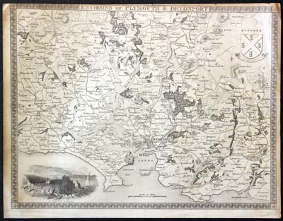
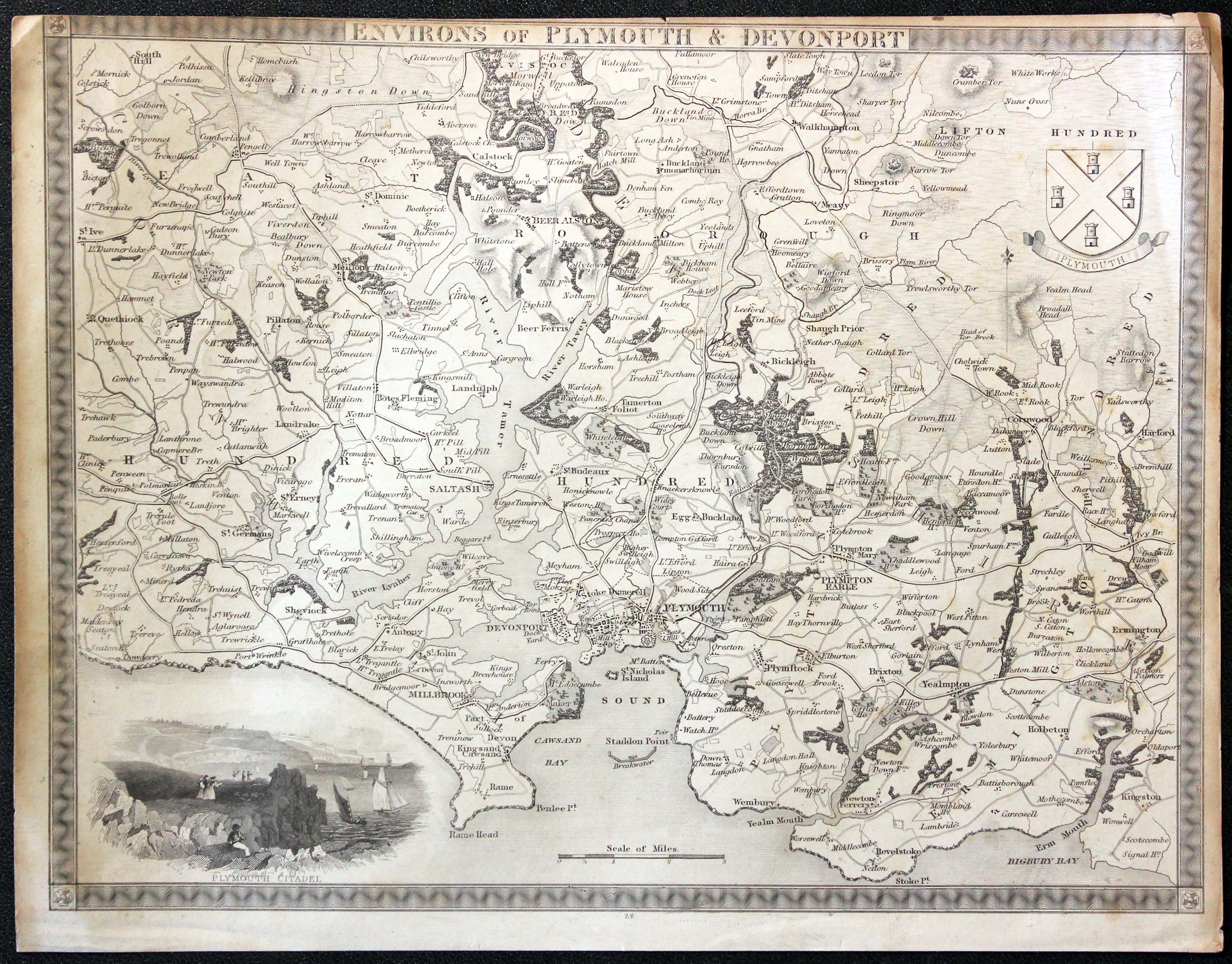
Plymouth and Devenport Thomas Moule c.1850

31658 Plymouth and Devenport, Thomas Moule, c.1850. Price: 29.00
ENVIRONS OF PLYMOUTH & DEVENPORT
An engraved map of the region embellished with a vignette view of Plymouth Citadel and the Arms of Plymouth. 10 1/4 x 7 3/4 inches. Uncoloured. Little to no top blank margin with some trimming. Browning around the edges.
From: Barclay's Dictionary
18th Century - County and Road Map
-

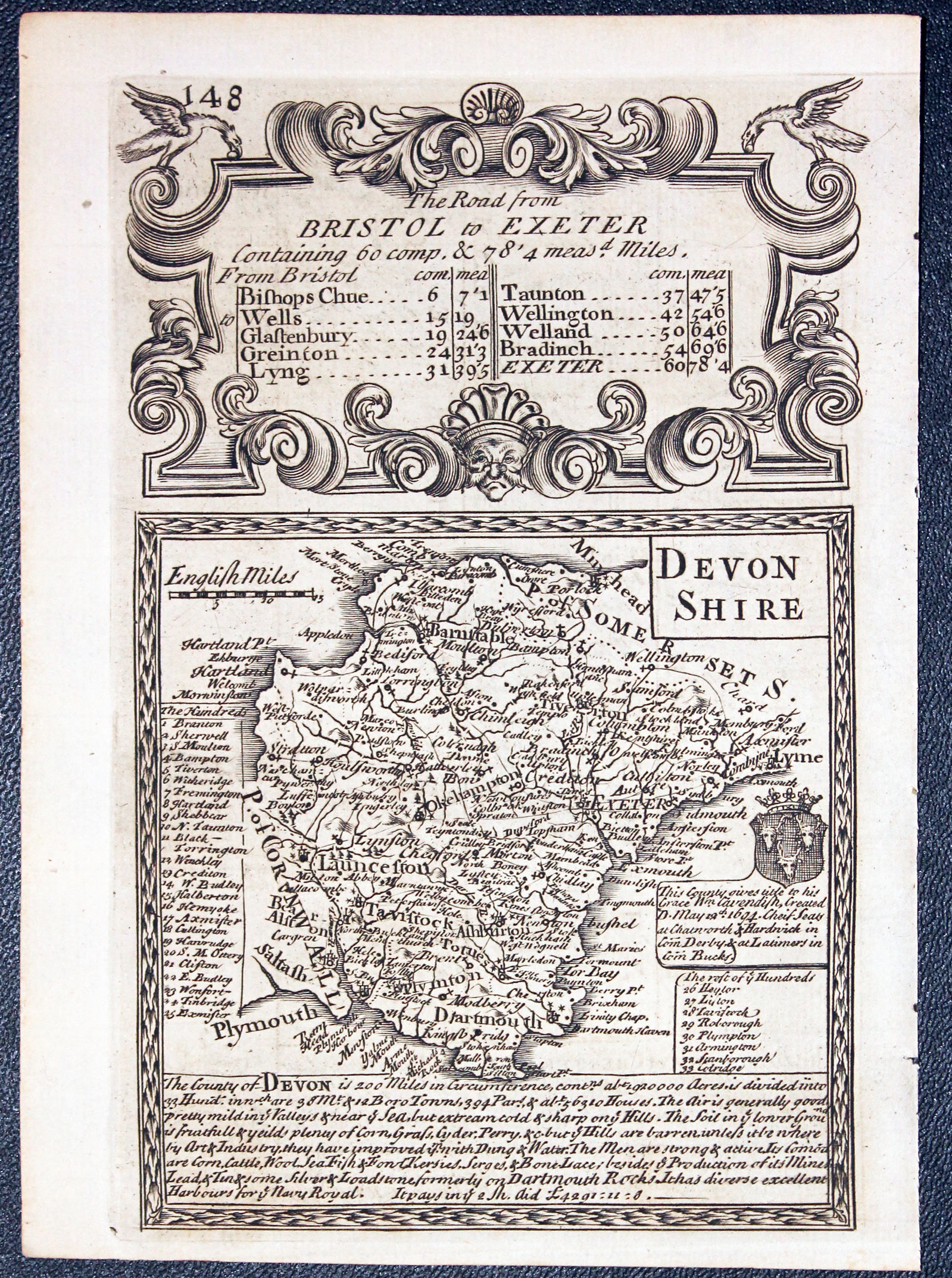
Map of Devon by John Owen and Emanuel Bowen published in 1753
-

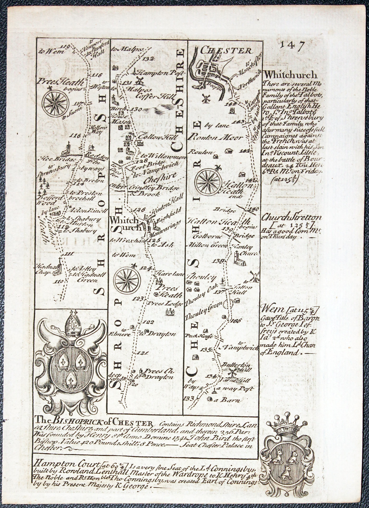
Road map from Whitchurch to Chester by John Owen and Emanuel Bowen published in 1753
32441 Devon, John Owen / Emanuel Bowen, 1753. Price: 45.00
DEVONSHIRE
An engraved county map embellished with coat of arms and interesting engraved notes, surmounted by a decorative cartouche titled The Road from Bristol to Exeter. Road map on verso from south of Whitchurch to Chester with two coats of arms and engraved notes. 4 x 7 inches, 115 x 180 mm. Uncoloured. Good condition. This make has just been taken from the atlas and therefore not previously sold as a single map.
From Britannia Depicta


PROVENANCE
At some time part of the Townsend Family library
19th Century
-
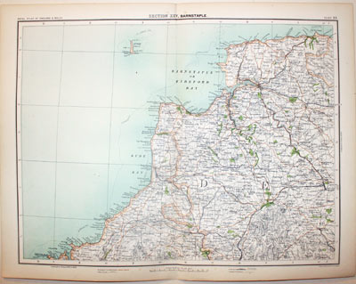
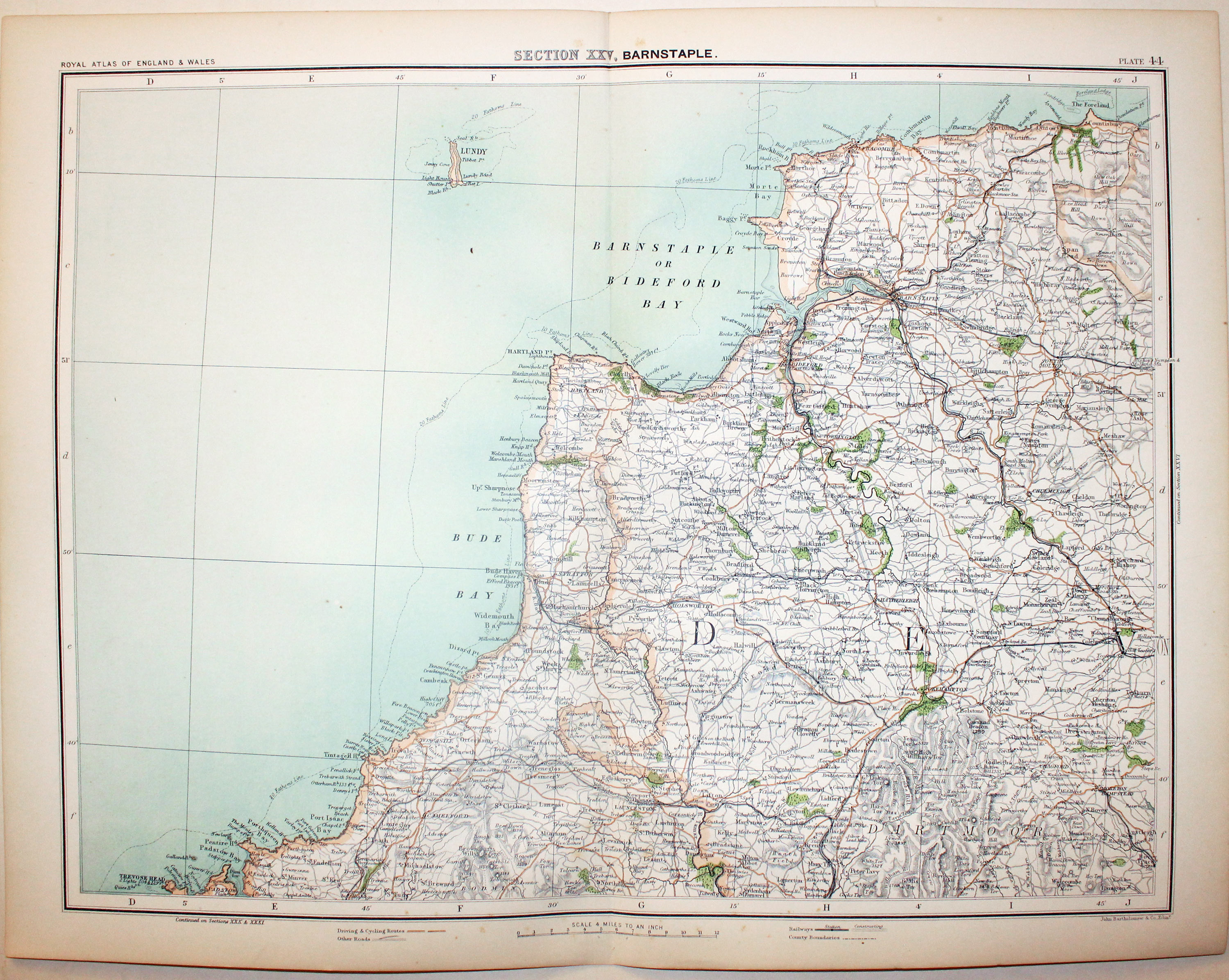
Northern Devon, John Bartholomew, c.1898

32729 Part of Devon, John Bartholomew, c.1898. Price: 19.00
SECTION XXV. BARNSTAPLE. A colour printed map showing parts of Devonshire. Scale of 4 miles to the inch. Shows the railways. 16 1/2 x 12 1/2 inches. Good clean condition.
From: The Royal Atlas
18th Century
-
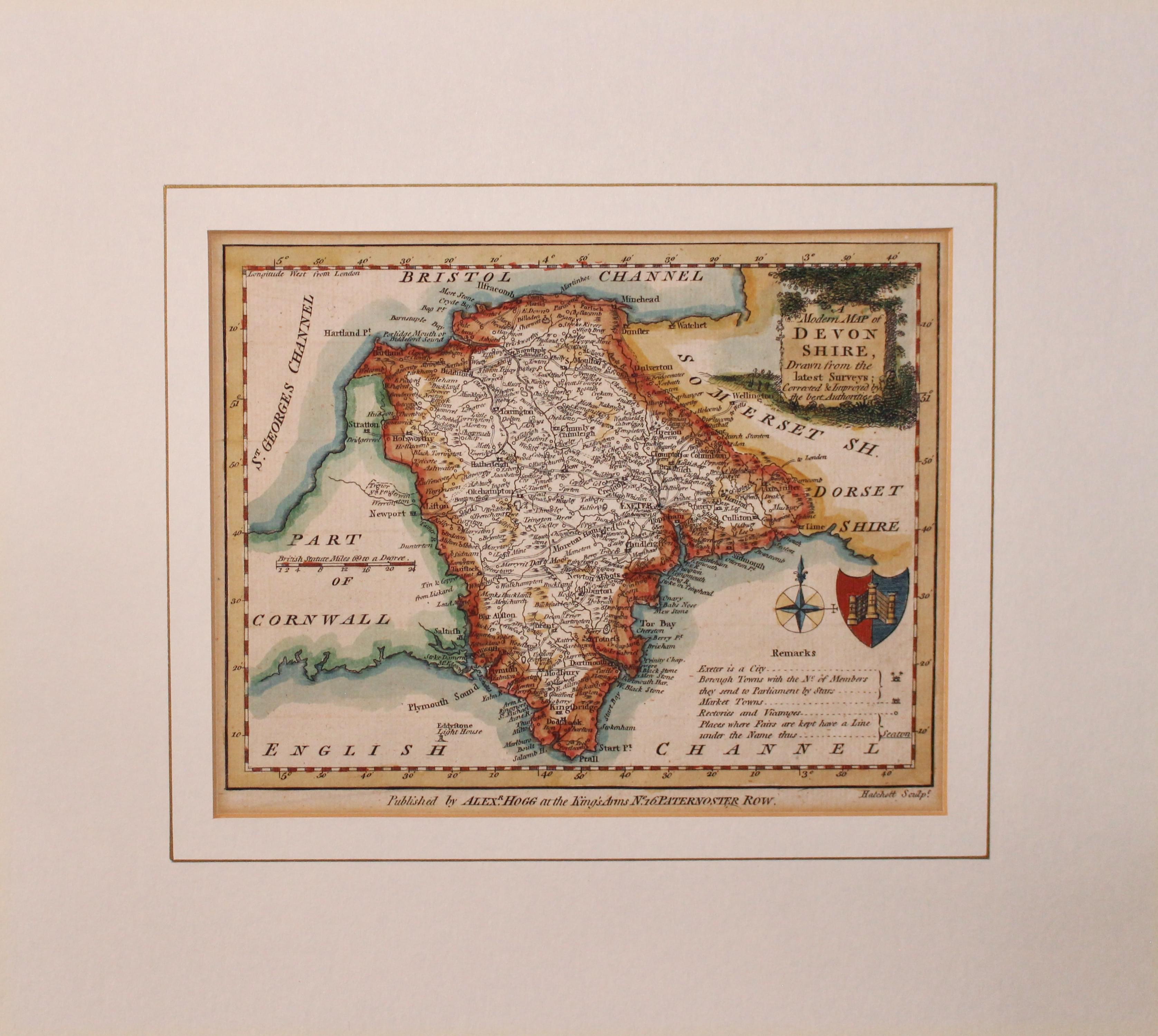
Northern Devon, John Bartholomew, c.1898

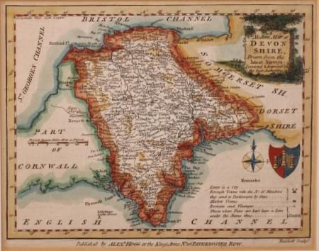
33222 Devonshire, George Augustus Walpole, 1784. Price: 39.00
A MODERN MAP OF DEVON SHIRE DRAWN FROM THE LATEST SURVEYS CORRECTED & IMPROVED BY THE BEST AUTHORITIES.
A map of the county engraved by Hatchett with a pictorial title cartouche, coat of arms and remarks. Rococo scrolls beneath the map with the imprint of the publisher Alexander Hogg. 7 x 6 inches, 200 x 150 mm. Hand coloured. I am used to seeing this map either with top blank margin or having a false margin added. This specimen has good blank margins on all sides. Presented in an ivory tint sunk mount with single gold line.
From: The New British Traveller.
17th Century - Text
-

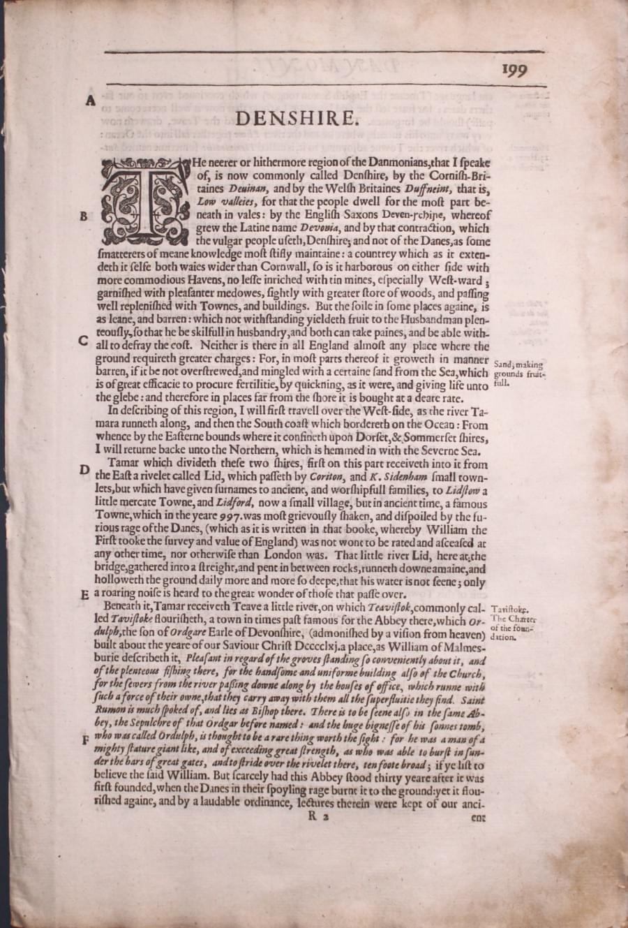
Devon text by William Camden 1637
33229 Devonshire, William Camden, 1637. Price: 8.00
DEVONSHIRE
Pages 199 - 206 inclusive describing the county of Devon in English. About 13 x 8 inches. Slight loss of the edge of right hand blank margin on the first page otherwise good condition.
From Camden’s Britannia

Early 19th Century - Restoration Project
-

Dwevonshire by Charles Smith 1801
33300 Devonshire, Charles Smith, 1801. Price: 5.00
A NEW MAP OF THE COUNTY OF DEVON DIVIDED INTO HUNDREDS. LONDON PRINTED FOR C. SMITH, NO. 172 STRAND January 6th 1802
An engraved map of the county which appears to have been bound into a book and folded. 181/2 x 17 inches. Early outline hand colouring. In need of restoration. Appears to be all there.

Dutchman who came to London from Holland in the 1670's
-

Devonshire by Herman Moll 1724

33435 Devonshire, Herman Moll, 1724. Price: 80.00
DEVON SHIRE BY H. MOLL GEOGRAPHER
An engraved map of the county divided into hundreds. Title panel, scale, and list of hundreds. Down the two sides of the map are engravings of antiquities and two interesting views of the Eddystone Lighthouse. 12 1/4 x 7 1/4 inches. Hand coloured. Good condition.
From: A Set of Fifty New and Correct Maps of England and Wales.


