Antique Maps of Warwickshire
Richard Nicholson of Chester
A World of Antique Maps and Prints
Established in 1961
All the Maps on this page are guaranteed to be genuine early specimens
published in or around the year stated
18th Century - Early Hand Colouring
-

Central England, von Reilly 1789

24040 Central England, Franz Joseph von Reilly, 1789. Price: 68.00
Des Konigreichs ENGLAND westlicher Theil, oder Hereford Shire, Worcester Sh, Warwick Shire, Nordhampton Shire, Rutland Shire, Leicester Shire, Linkoln Shire, Notingham Shire, Derby Shire, Stafford Shire, Shrop Sh. und Sheshire Nro. 82
An engraved map of central England divided into counties. Uncoloured title cartouche. 10 3/4 x 8 inches. Early wash hand colouring. Good condition. Straight from the atlas and not sold as a single map before.
From: Schauplatz der funf Theile der Welt
19th Century -Town Plan
-

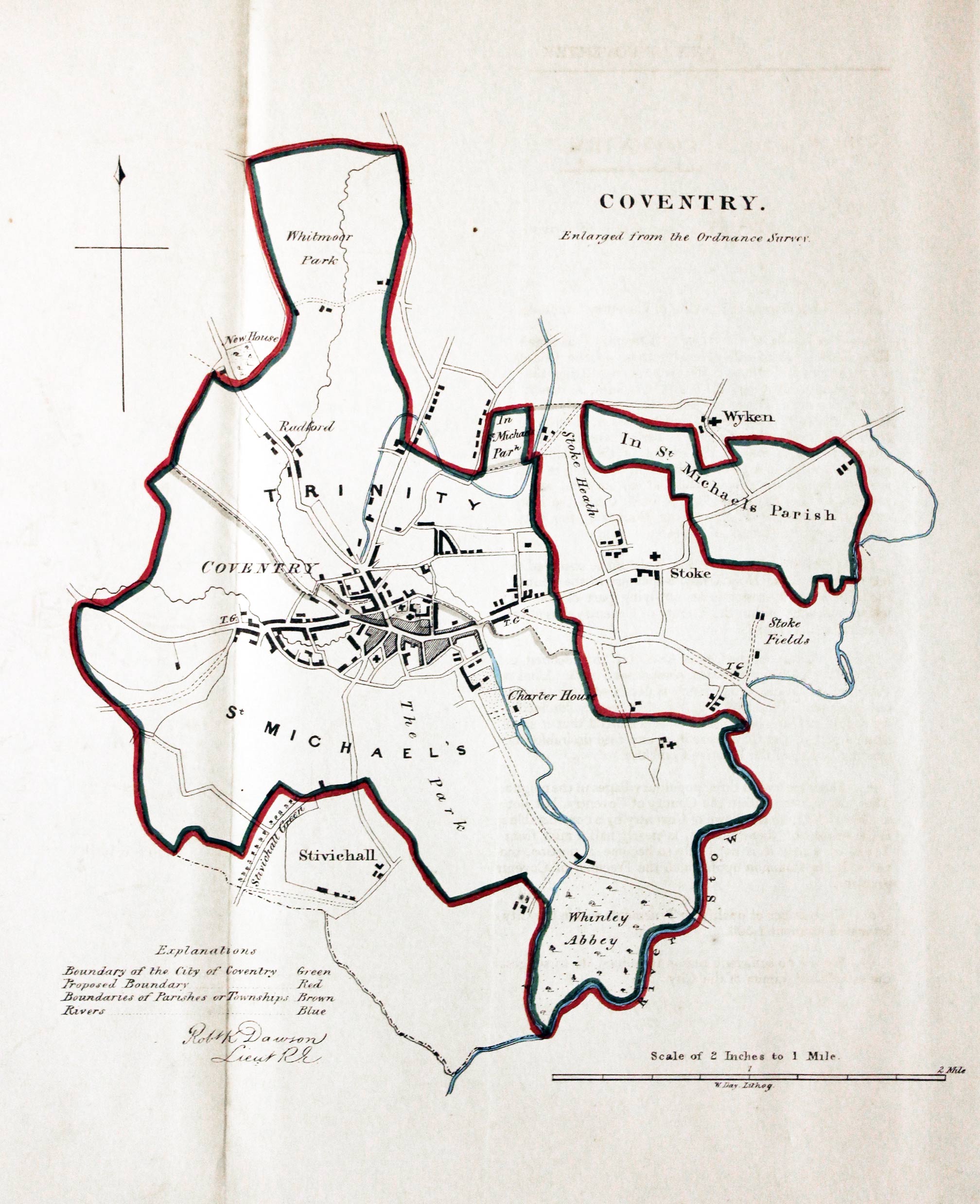
Coventry, Lt. Robert K. Dawson, c.1832

27423 Coventry, Lt. R. K. Dawson, c.1832. Price: 29.00
COVENTRY. FROM THE ORDNANCE SURVEY
A lithograph map of Coventry and environs on a scale of 2 inches to the mile. 9 1/2 x 10 inches. Compass pointer and explanation. About 10 x 11 inches. Original outline hand colouring.
From: Plans of the Cities and Boroughs of England and Wales
19th Century - Early Hand Colouring
-

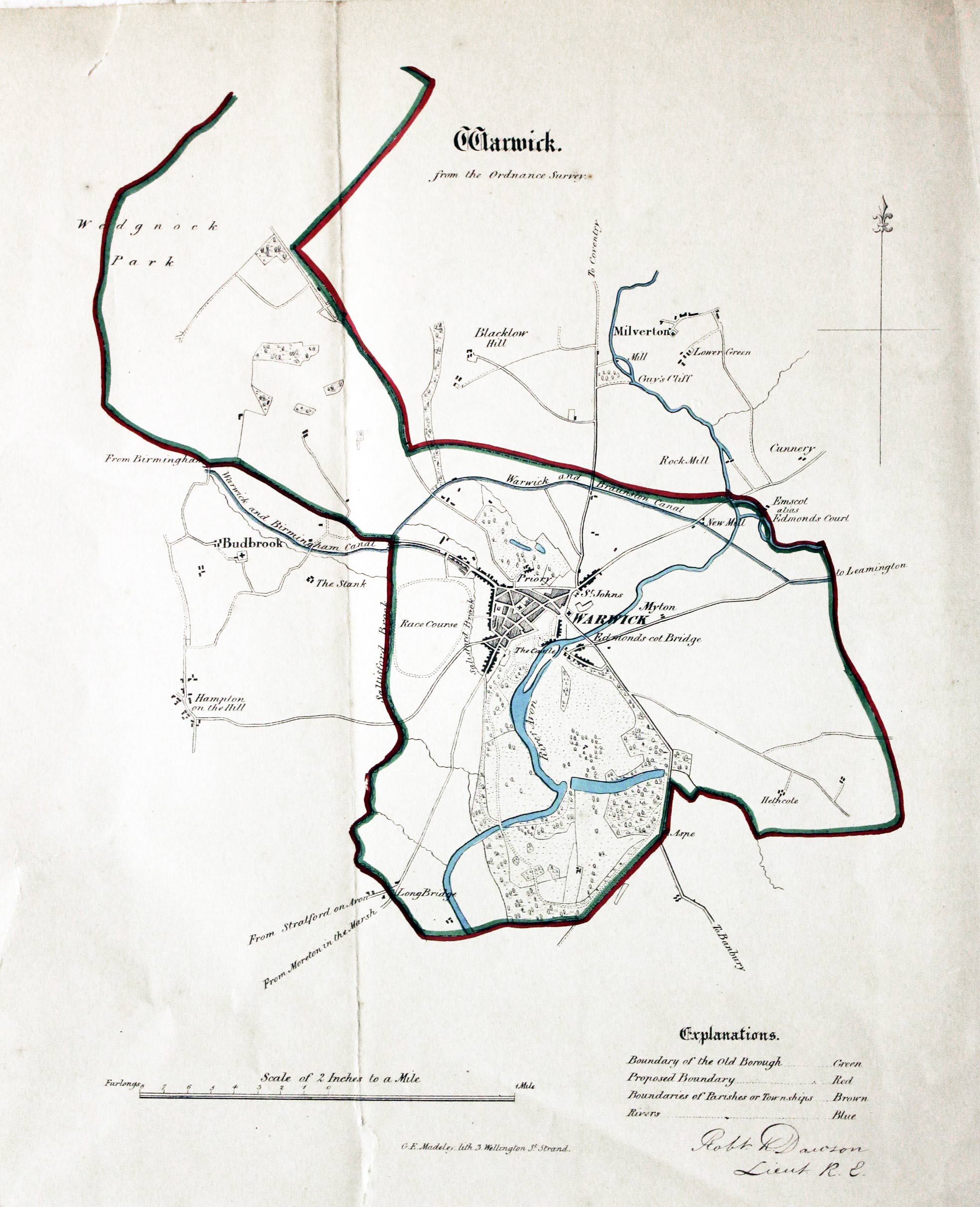
Warwick, Lt. Robert K. Dawson, c.1832

27424 Warwick, Lt. Robert K. Dawson, c.1832. Price: 29.00
WARWICK. FROM THE ORDNANACE SURVEY
A lithograph map of Warwick and environs on a scale of 2 inches to the mile. 9 1/2 x 10 inches. Compass pointer and explanation. Original outline hand colouring. Small tear at the bottom of the fold and another in the top blank margin.
From: Plans of the Cities and Boroughs of England and Wales
Late 19th Century - Town Plans
-

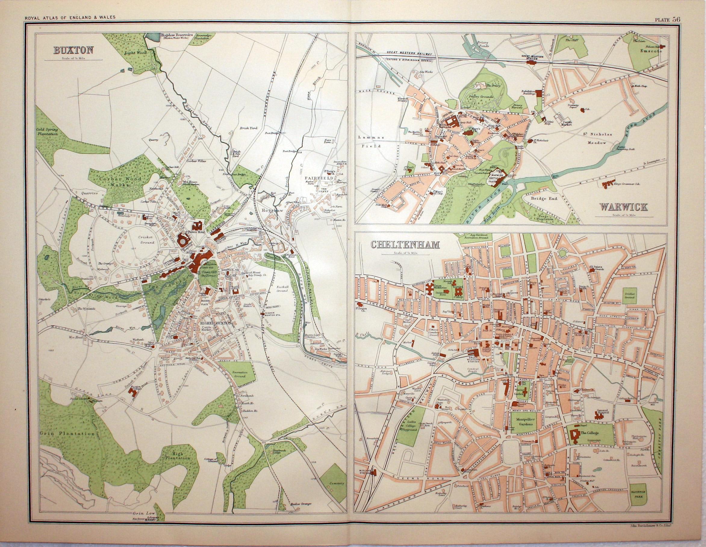
Buxton, Warwick and Cheltenham, John Bartholomew, c.1895

28164 Buxton, Warwick and Cheltenham, John Bartholomew, c.1895. Price: 17.00
BUXTON. WARWICK. CHELTENHAM
A colour printed town plan. 16 1/2 x 12 3/4 inches. Good clean condition.
From: The Royal Atlas
For the Collector
-

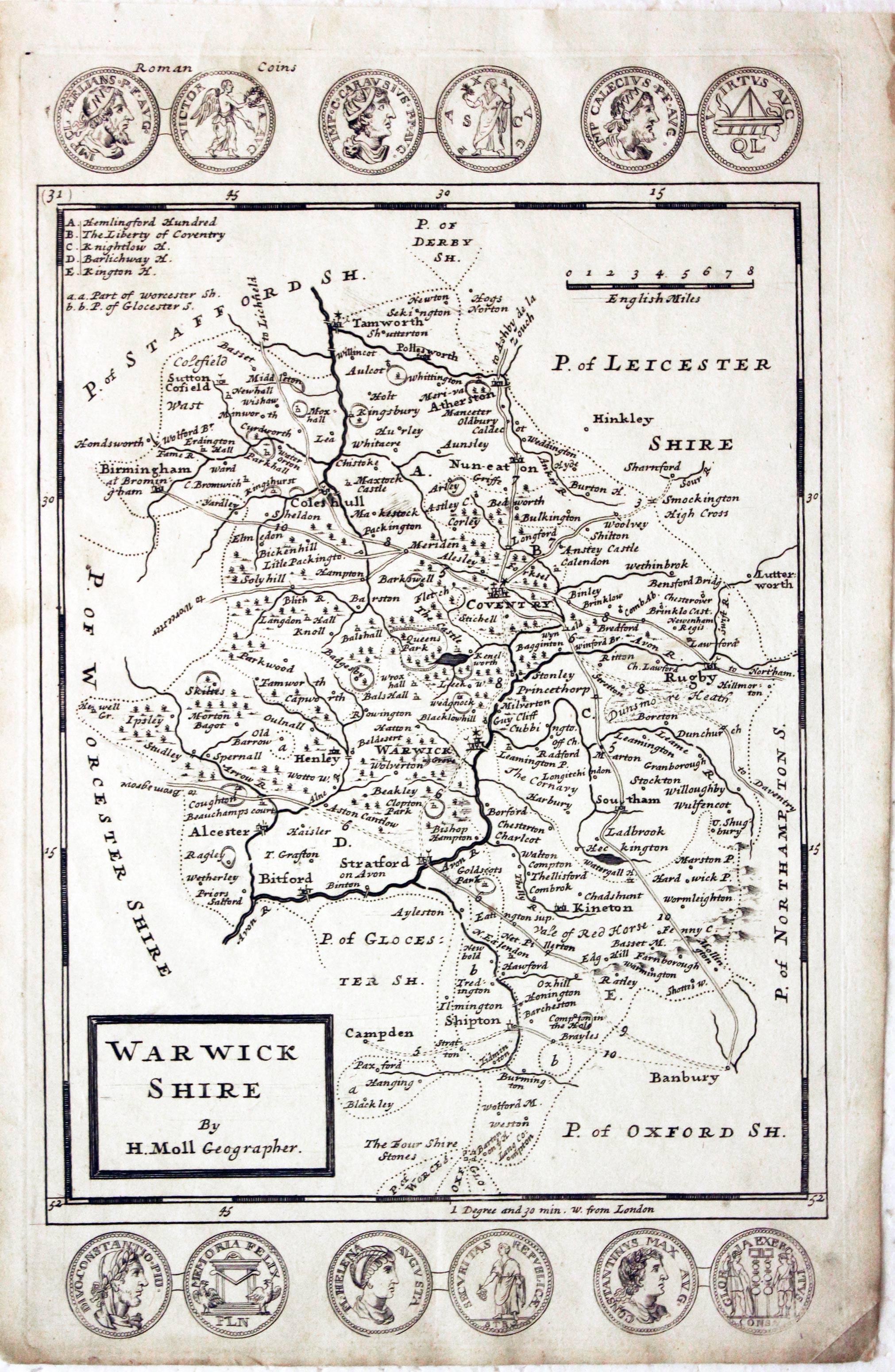
Warwickshire, Herman Moll, 1724

8882 Warwickshire, Herman Moll, 1724. Price: 110.00
WARWICK SHIRE BY H. MOLL GEOGRAPHER
An engraved map of the county divided into hundreds. Title panel, scale and list hundreds. Across the top and bottom of the map are engravings Roman Coins. 7 1/4 x 11 3/4 inches. Uncoloured.
From: A Set of Fifty New and Correct Maps of England and Walesales
19th Century - Early Hand Colouring
-

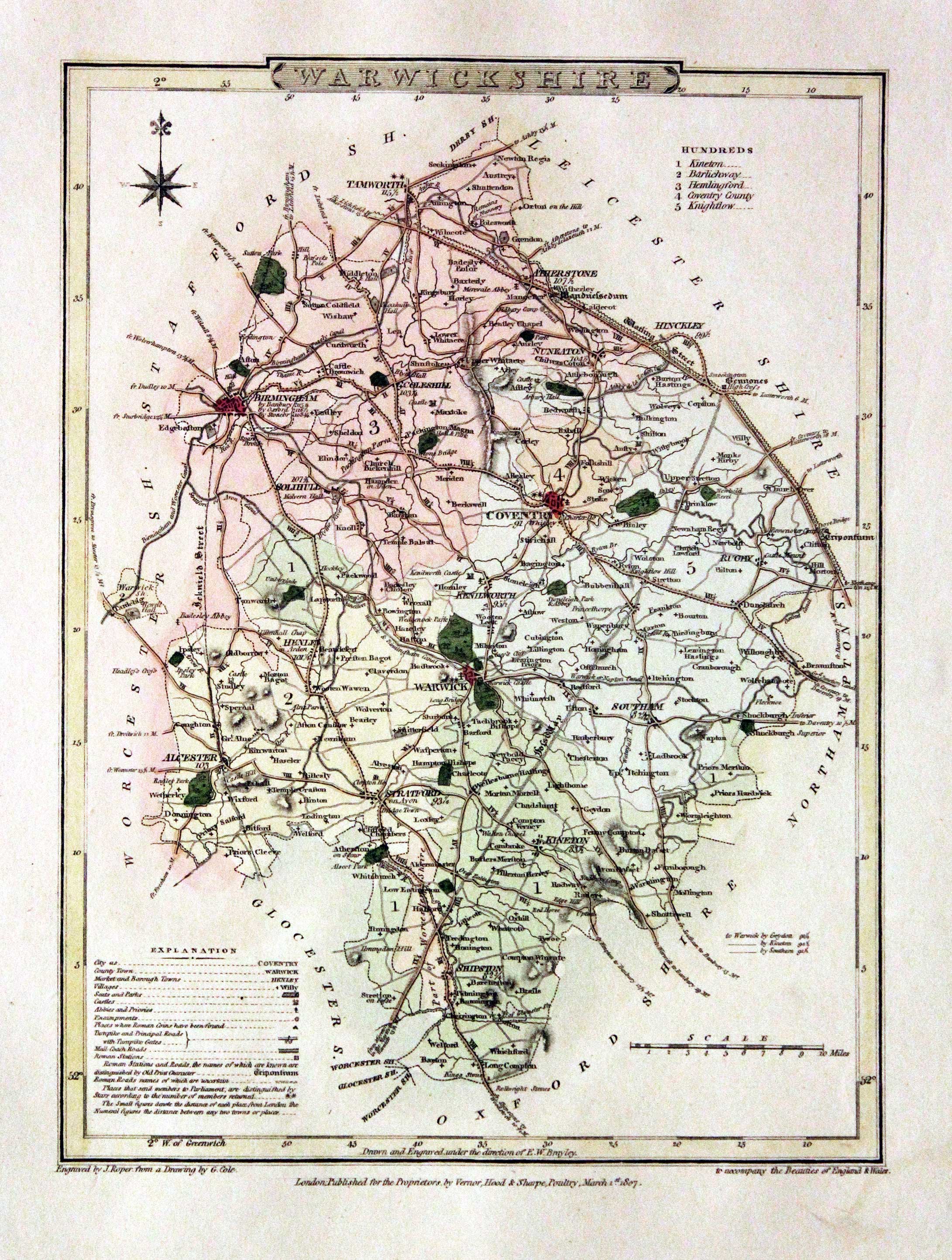
Warwickshire, George Cole and John Roper, 1810

30061 Warwickshire, George Cole and John Roper, 1810. Price: 42.00
WARWICKSHIRE
A detailed map of the county engraved by J. Roper from a drawing by G. Cole. Publishers imprint beneath dated 1807. Explanation and list of hundreds. Compass rose. 9 1/4 x 7 inches. Original wash colouring colouring. Fine condition with wide blank margins. Straight from the atlas and not sold as a single map before.
From: The British Atlas
19th Century
-

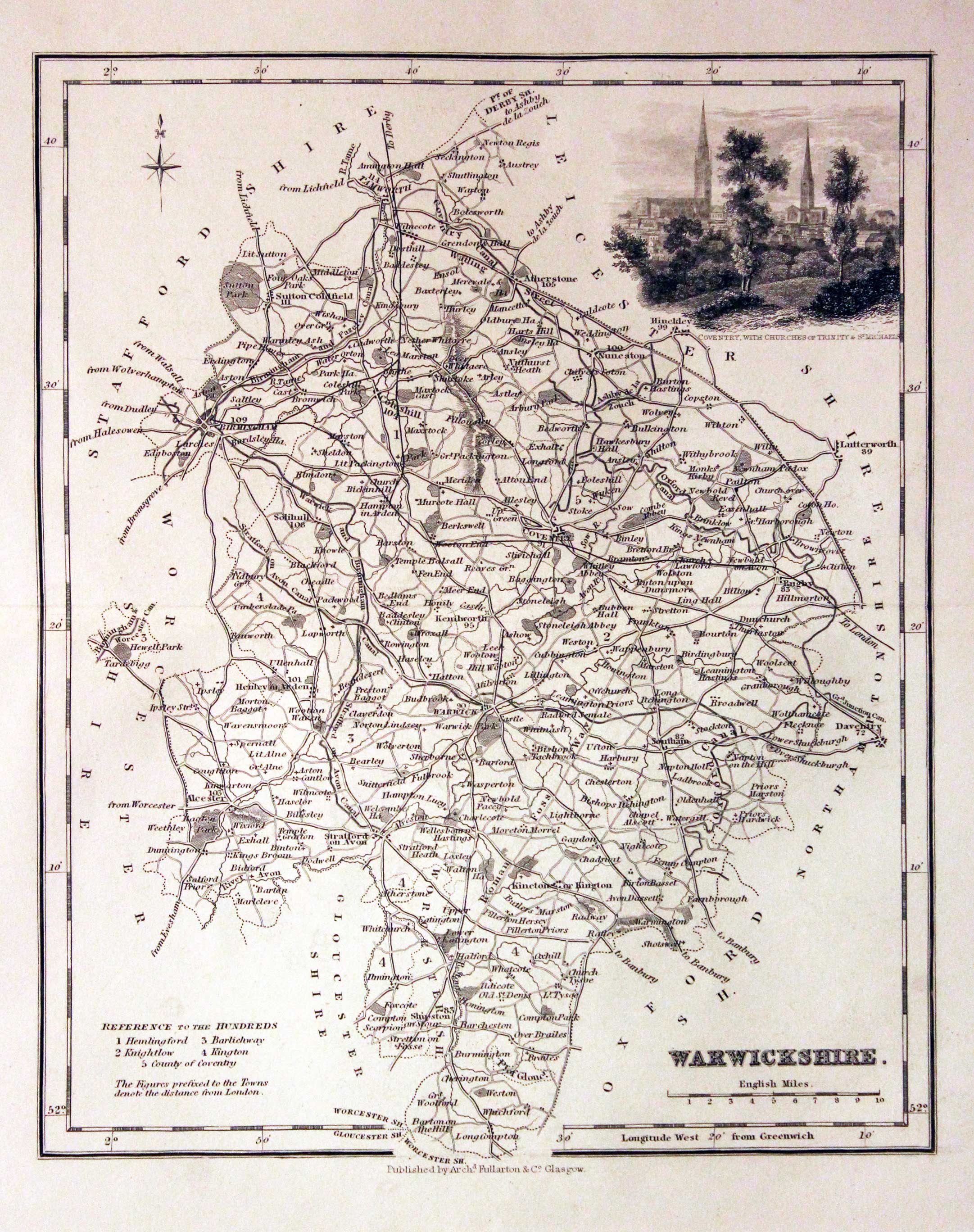
Warwickshire, Archibald Fullarton, c.1843

30072 Warwickshire, Archibald Fullarton, c.1843. Price: 33.00
WARWICKSHIRE
A detailed engraved map of the county embellished with a vignette view of Coventry, with Churches of Trinity & St. Michael’s. Scale, compass pointer and list of hundreds. 7 3/4 x 9 1/2 inches. Uncoloured. Good condition.
From: The Parliamentary Gazetteer
Late 19th Century
-

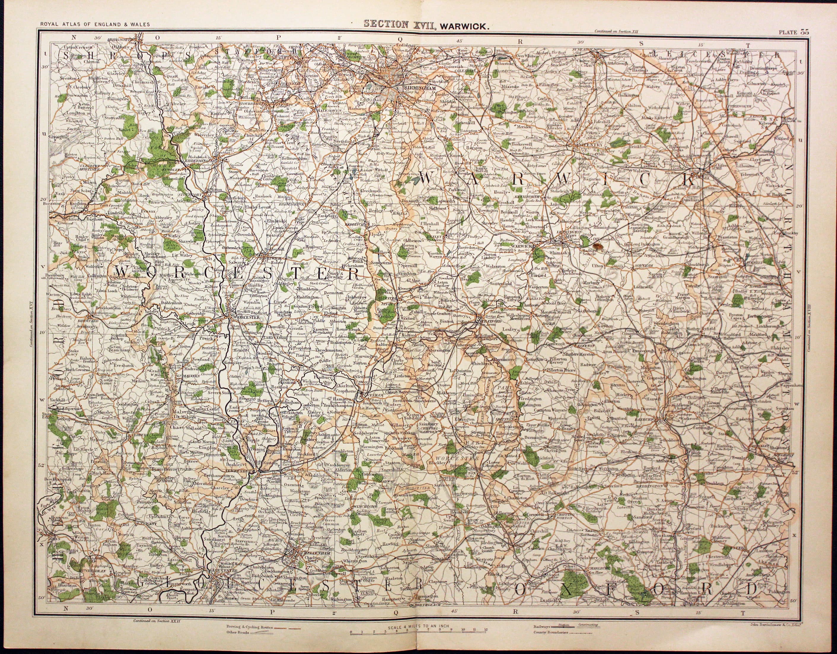
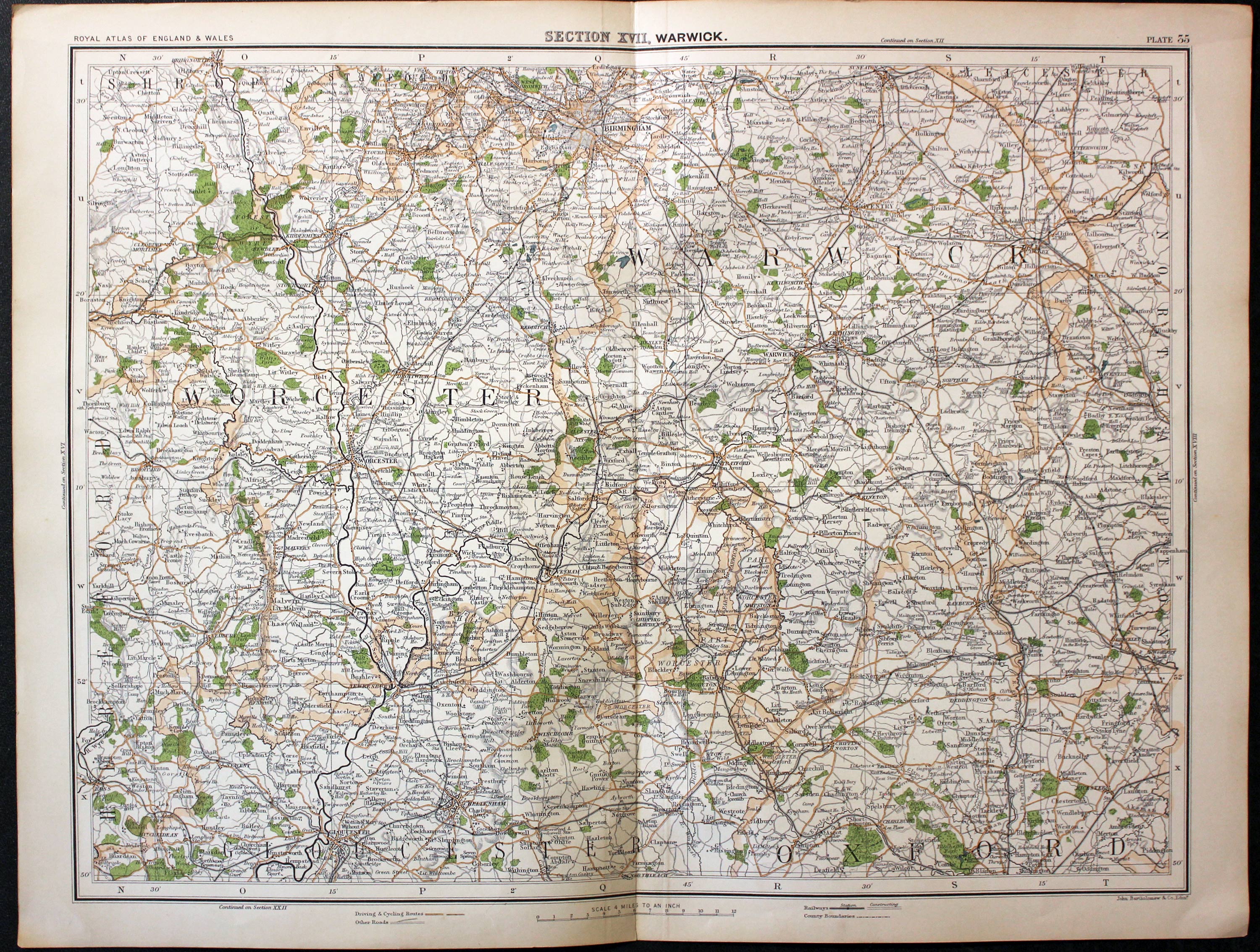
Part of Warwickshire and Worcestershire, John Bartholomew, c.1898

30150 Part of Warwickshire and Worcestershire, John Bartholomew, c.1898. Price: 12.00
SECTION XVII. WARWICKSHIRE
A colour printed map showing parts of Warwickshire, Worcestershire, Oxfordshire and Gloucestershire. Scale of 4 miles to the inch. Shows the railways. 16 1/2 x 12 1/2 inches. Good clean condition.
From: The Royal Atlas
18th Century - Early Hand Colouring
-

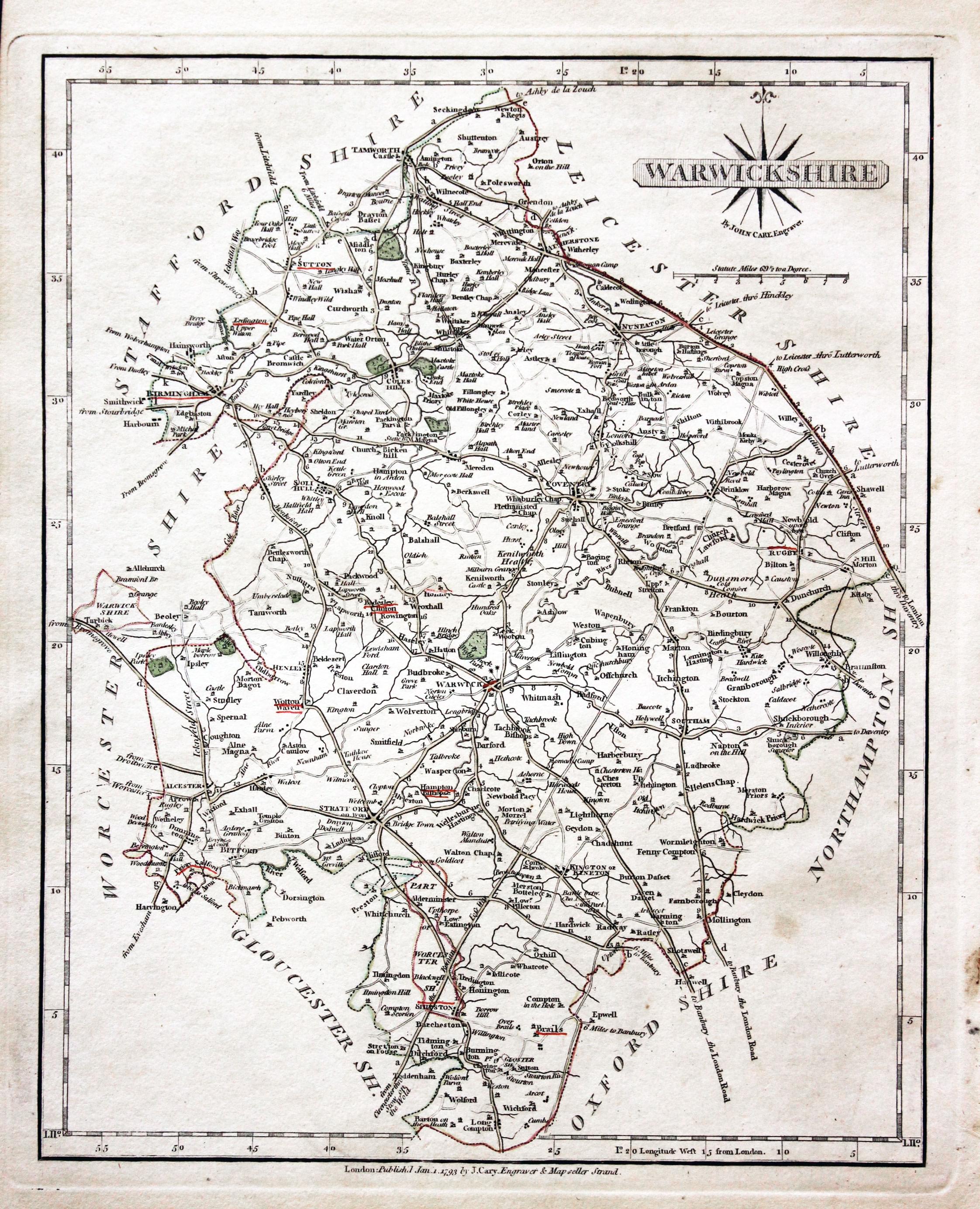
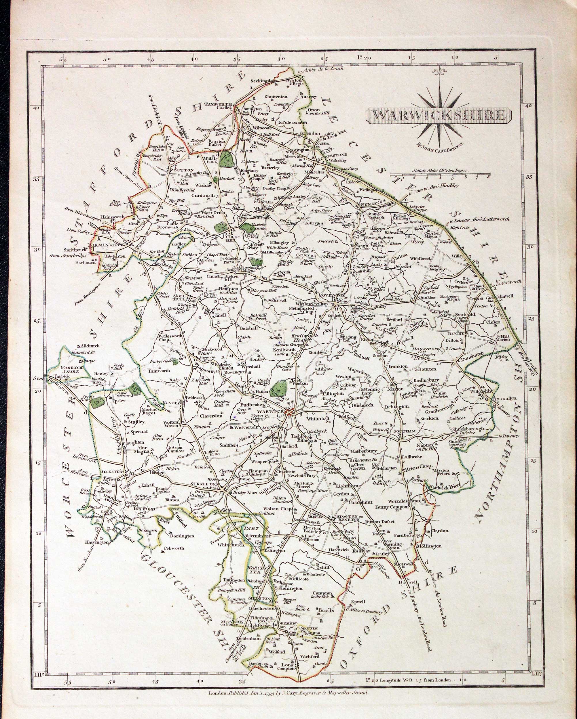
Warwickshire, John Cary 1793

30886 Warwickshire, John Cary 1793. Price: 53.00
WARWICKSHIRE
A good detailed engraved map of the county. Title panel and compass rose combined. Publisher's imprint dated 1793 beneath. 8 1/4 x 10 1/4 inches. Original outline hand colouring. Some of the town names are underlined in red. Good condition. With original page of descriptive text.
From: Cary’s New and Correct English Atlas
Provenance: John Hobson Matthews
The places underlined in red ink are those in which a Catholic mission has been established between the era of the Reformation and the year 1840
John Hobson Matthews (1858 - 1914) Born in Croydon in 1858. Educated at schools at Blackheath and Cambridge. Worked for a shipping firm in Malta. A good linguist he was a Roman Catholic historian, archivist and solicitor. You will find more details about him here in the Dictionary of Welsh Biography.
18th Century - Early Hand Colouring
-
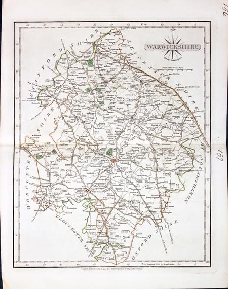
Warwickshire, John Cary 1793

31008 Warwickshire, John Cary 1793. Price: 49.00
WARWICKSHIRE
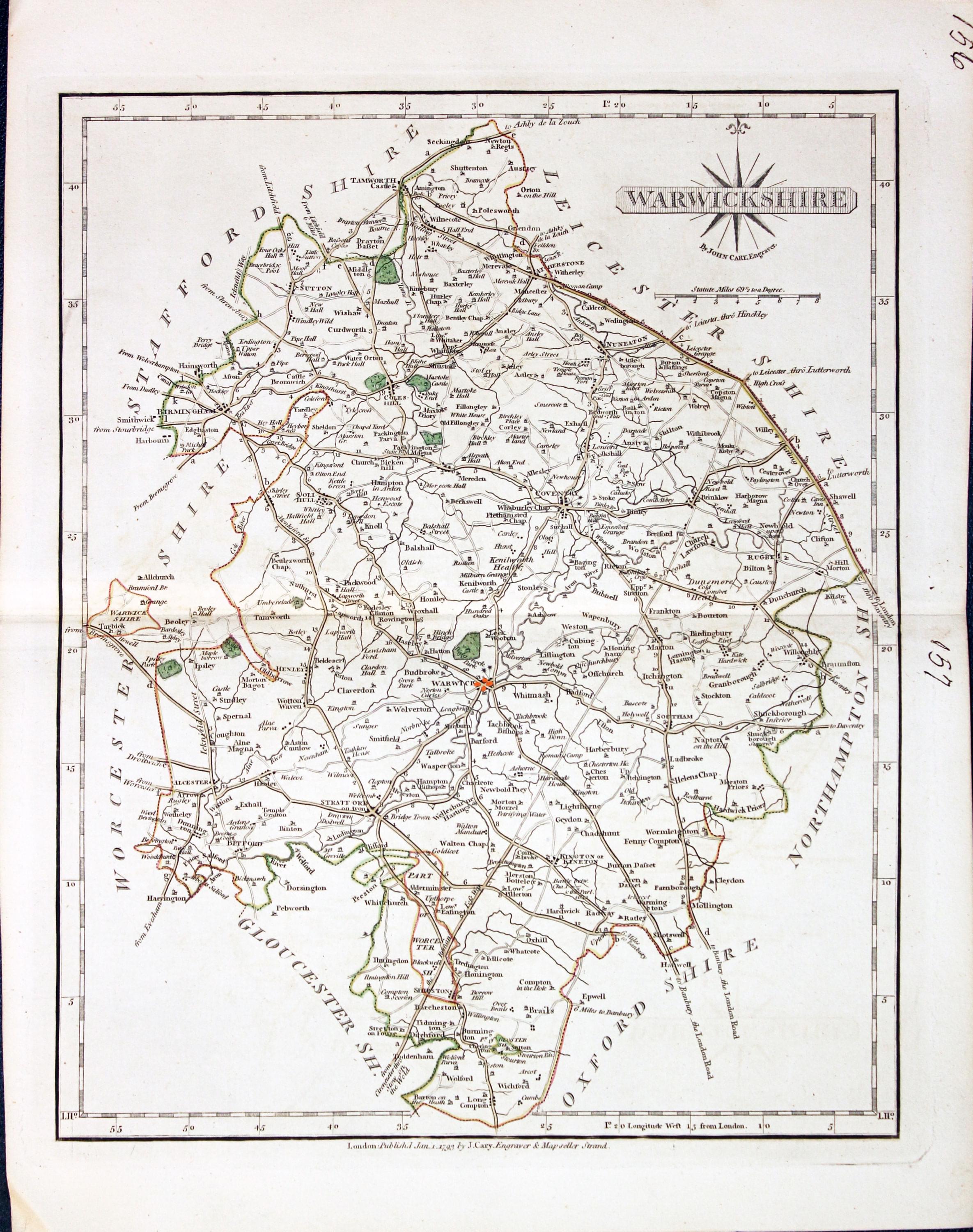
A detailed engraved map of the county. Title panel and compass rose combined. Cary's imprint beneath dated 1793. 8 1/4 x 10 1/4 inches. Centre fold. Old manuscript numbering in blank margin 156 and 157. Original outline hand colouring. Good condition.
From: Cary’s New and Correct English Atlas
18th Century - First Edition
-

Warwickshire John Cary 1787

31306 Warwickshire, John Cary 1787. Price: 53.00
WARWICKSHIRE
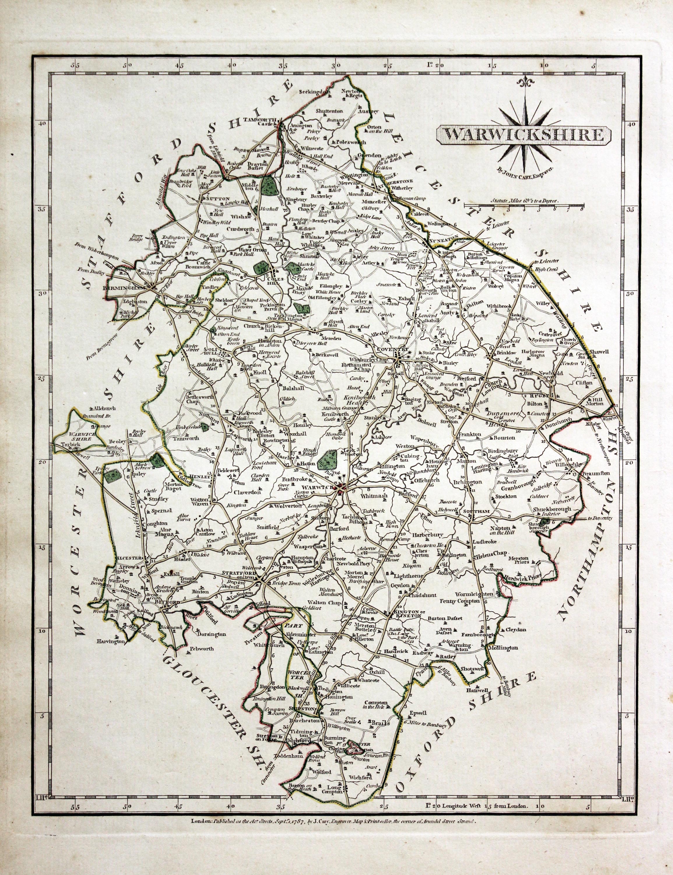
The FIRST EDITION of this detailed engraved map of the county. Title panel and compass rose combined. Cary's imprint beneath dated 1787. 8 1/4 x 10 1/4 inches. Original outline hand colouring. Good condition.
From: Cary’s New and Correct English Atlas
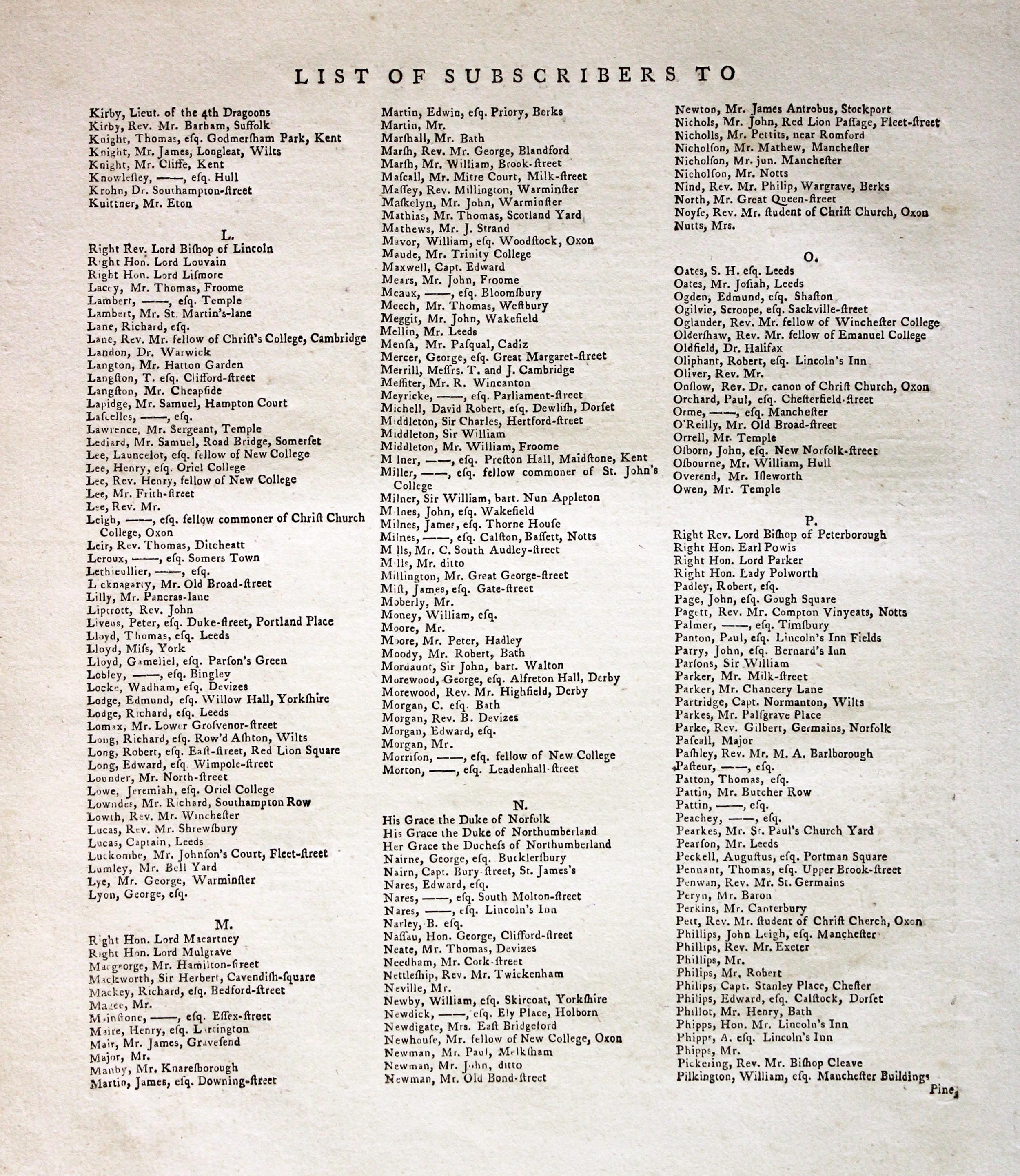
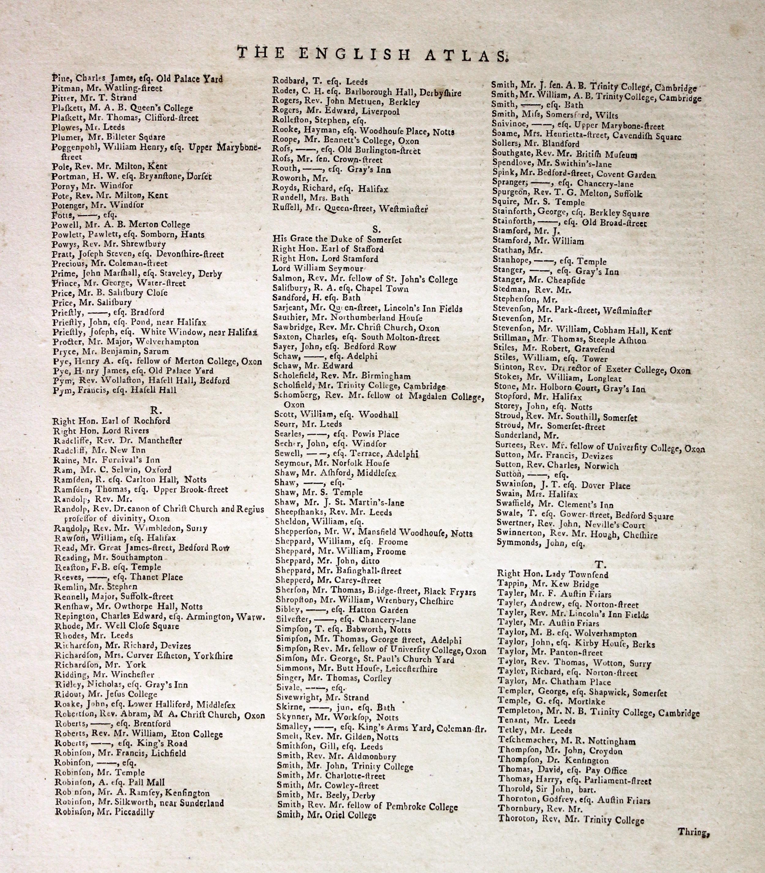
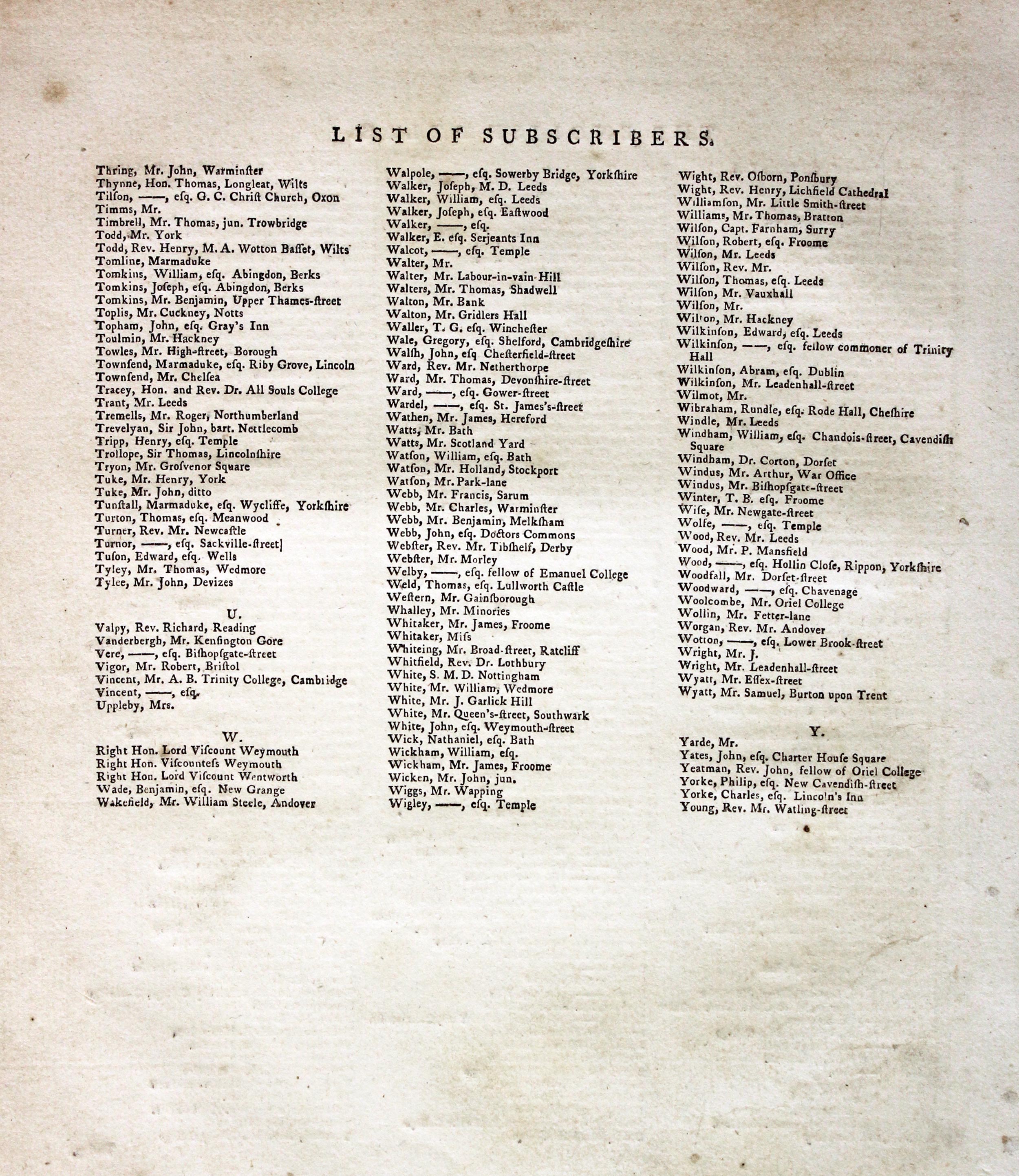
Subcribers to the First Edition
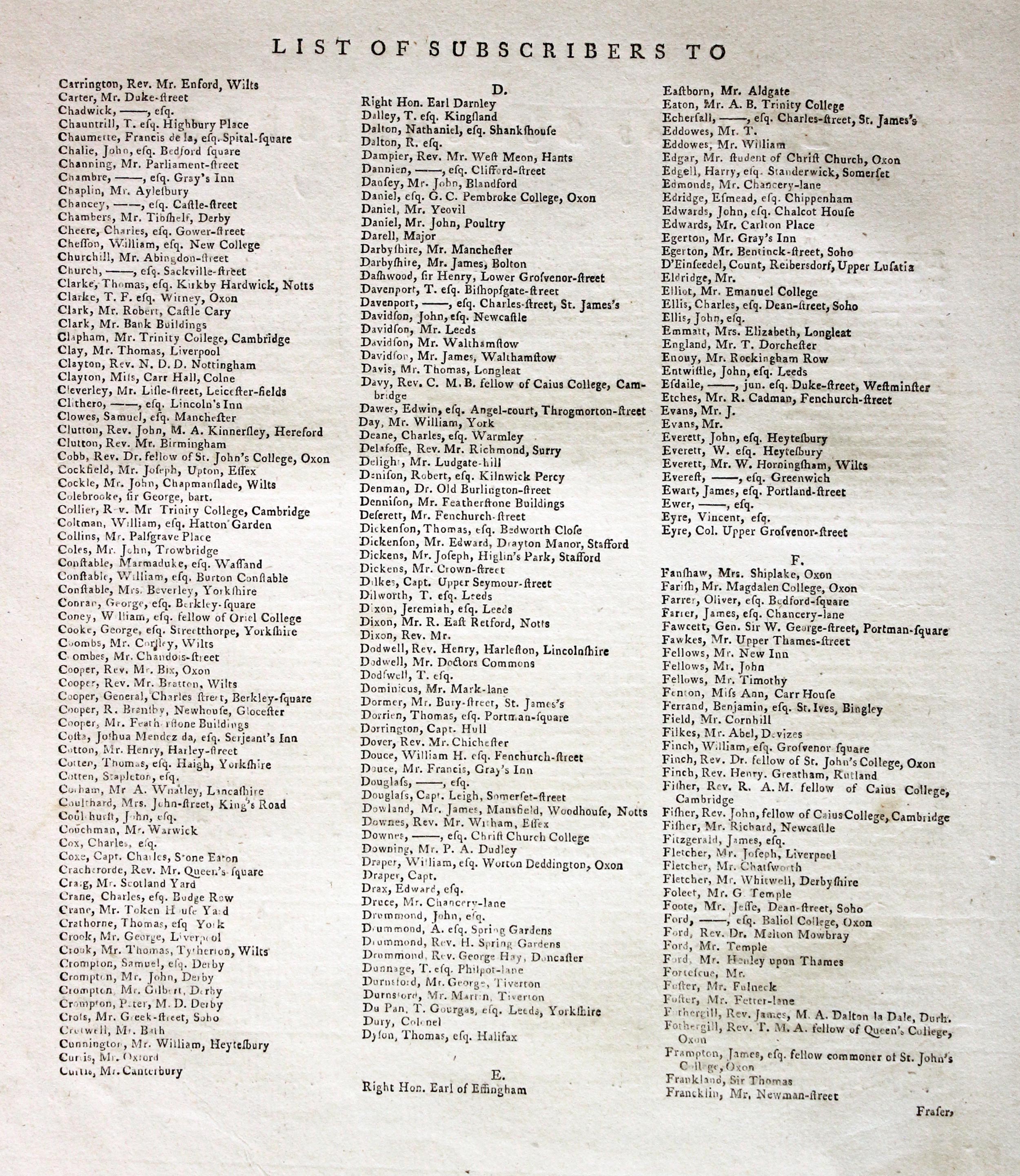
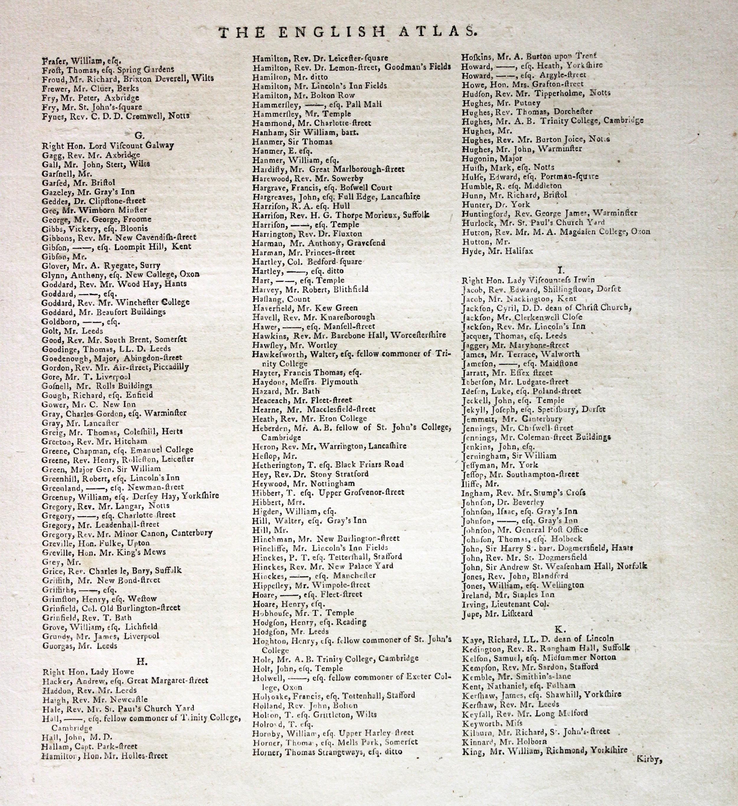
If you are thinking of buying this map you may be interested to see this list of the original subscribers to Cary's New and Correct English Atlas first published in 1787. It makes interesting reading and might even include one of your relatives.
-
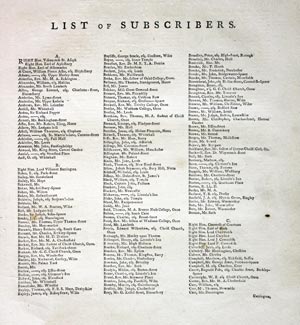
New and Correct English Atlas Subscribers
-

New and Correct English Atlas Subscribers
-
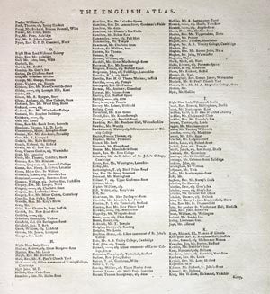
New and Correct English Atlas Subscribers
-
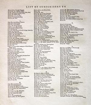
New and Correct English Atlas Subscribers
-
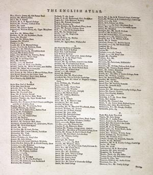
New and Correct English Atlas Subscribers
-
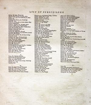
New and Correct English Atlas Subscribers
Late 19th Century
-

Part of Warwickshire, John Batholomew, c.1898

31549 Part of Warwickshire, John Batholomew, c.1898. Price: 19.00
SECTION XVII. WARWICKSHIRE
A colour printed map showing parts of Warwickshire, Worcestershire, Oxfordshire and Gloucestershire. Scale of 4 miles to the inch. Shows the railways. 16 1/2 x 12 1/2 inches. Good clean condition.
From: The Royal Atlas
19th Century - Early Hand Colouring
-

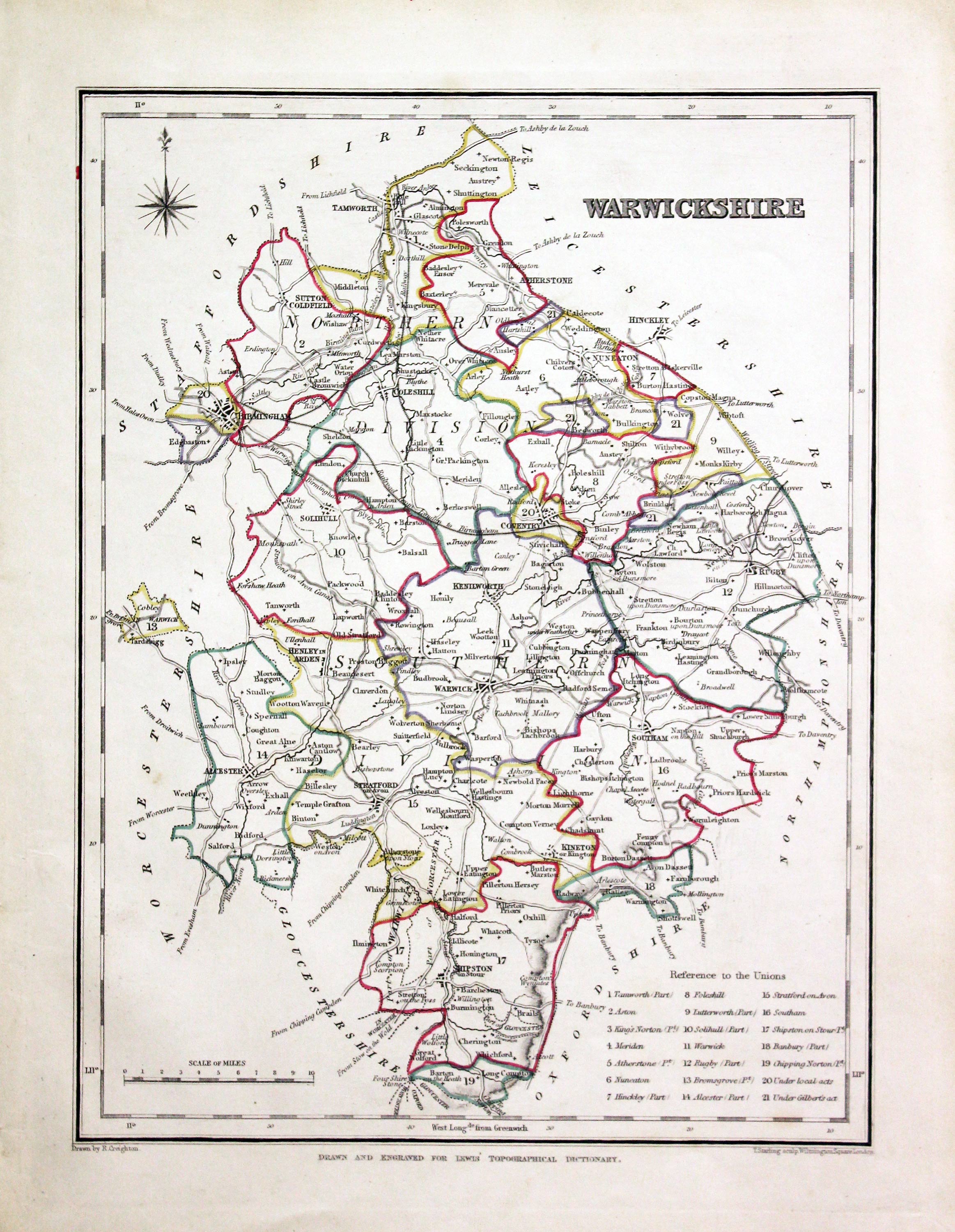
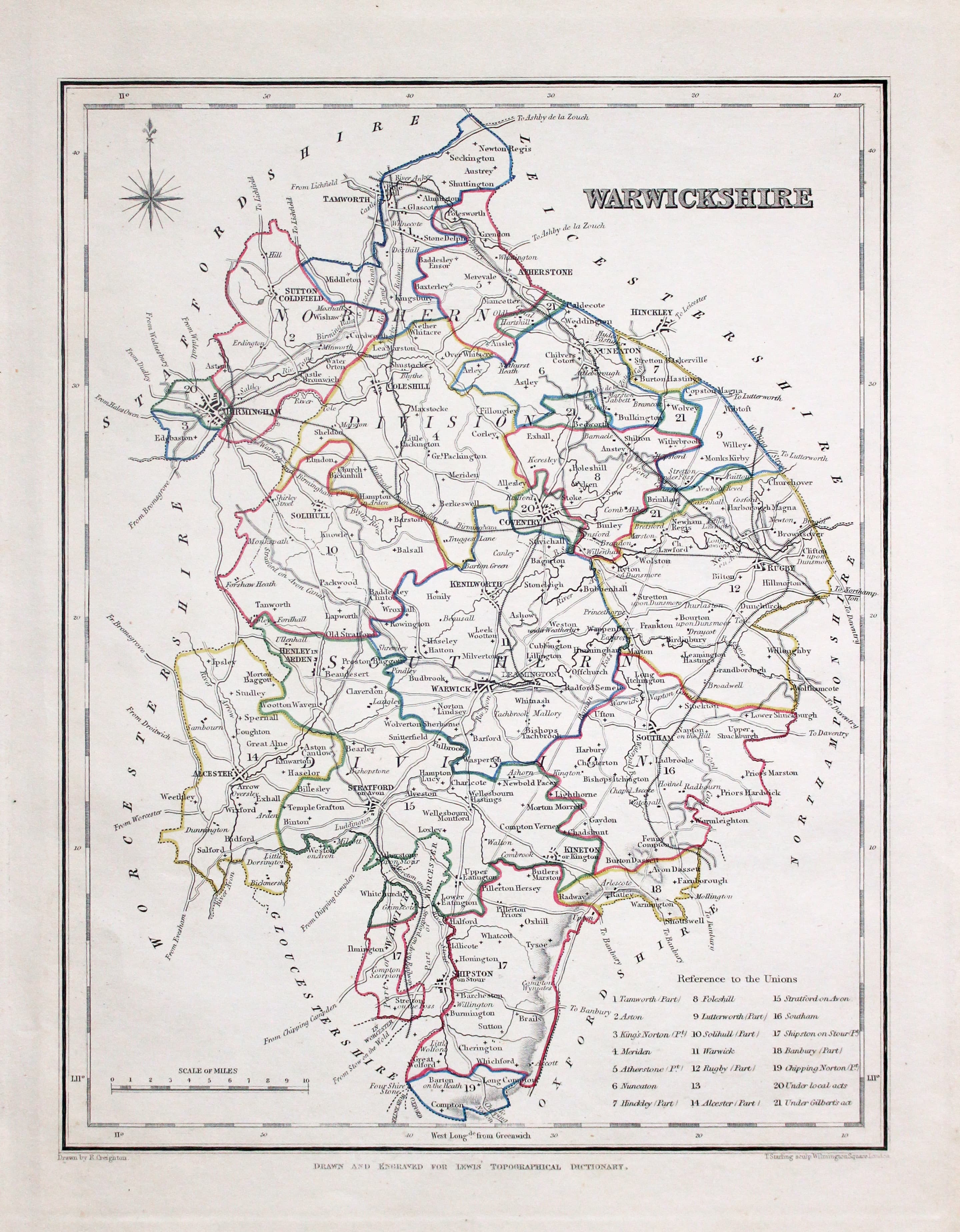
Warwickshire, Samuel Lewis 1845

31621 Warwickshire, Samuel Lewis, 1845. Price: 24.00
WARWICKSHIRE
A county map drawn by R. Creighton and engraved by J. & C. Walker. Reference to the Unions. Scale and compass rose. 6 3/4 x 9 inches. Original outline hand colouring. Good clean condition. Straight from the atlas and not sold as a single map before now.
From: Lewis' Atlas to the Topographical Dictionaries of England and Wales
19th Century - Early Hand Colouring
-

Warwickshire, John Cary, 1802

31723 Warwickshire, John Cary, 1802. Price: 50.00
WARWICKSHIRE
A well engraved detailed map of the county with title panel and compass rose combined. Scale. Imprint of John Cary dated 1793. With original page of descriptive text. 8 1/4 x 10 1/4 inches. Original outline hand colouring. Good condition. I have dated this map 1802 because the many of the other maps in the atlas were watermarked with the date of 1802. The titlepage of the atlas was dated 1793.
From: Cary's New and Correct English Atlas
Late 18th Century - Early Hand Colouring
-

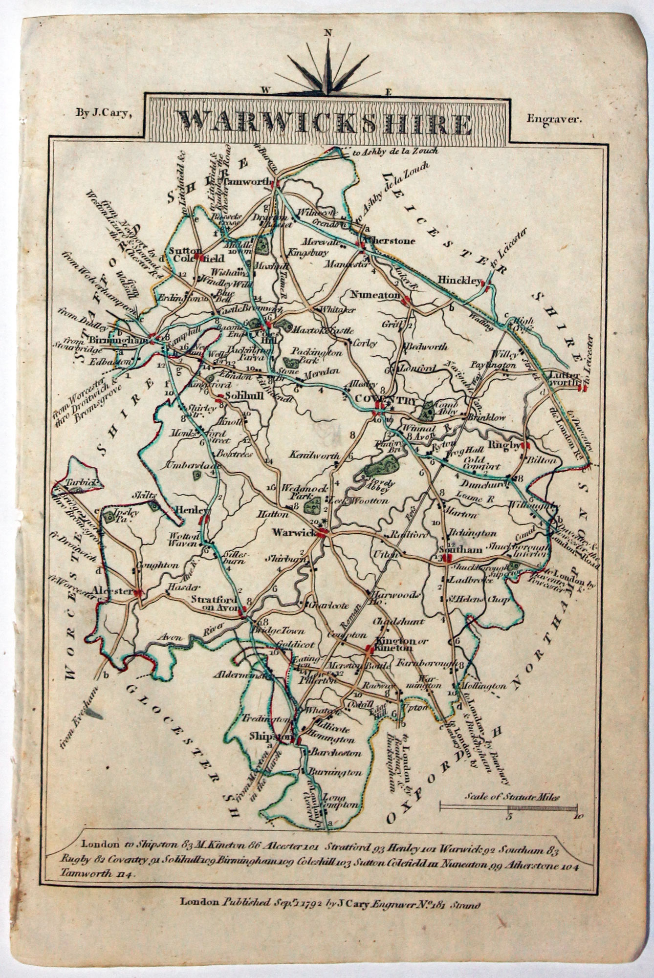
Map of Warwickshire, John Cary, 1792
32550 Warwickshire, John Cary, 1792. Price: 14.00
WARWICKSHIRE
A small engraved map of the county. Tile panel surmounted by half compass rose. Panel at bottom with list of distances from London. Publisher’s imprint beneath dated 1792. 3 1/2 x 4 3/4 inches. Thin paper. Original outline hand colouring. Good condition.
From: Cary’s Traveller’s Companion
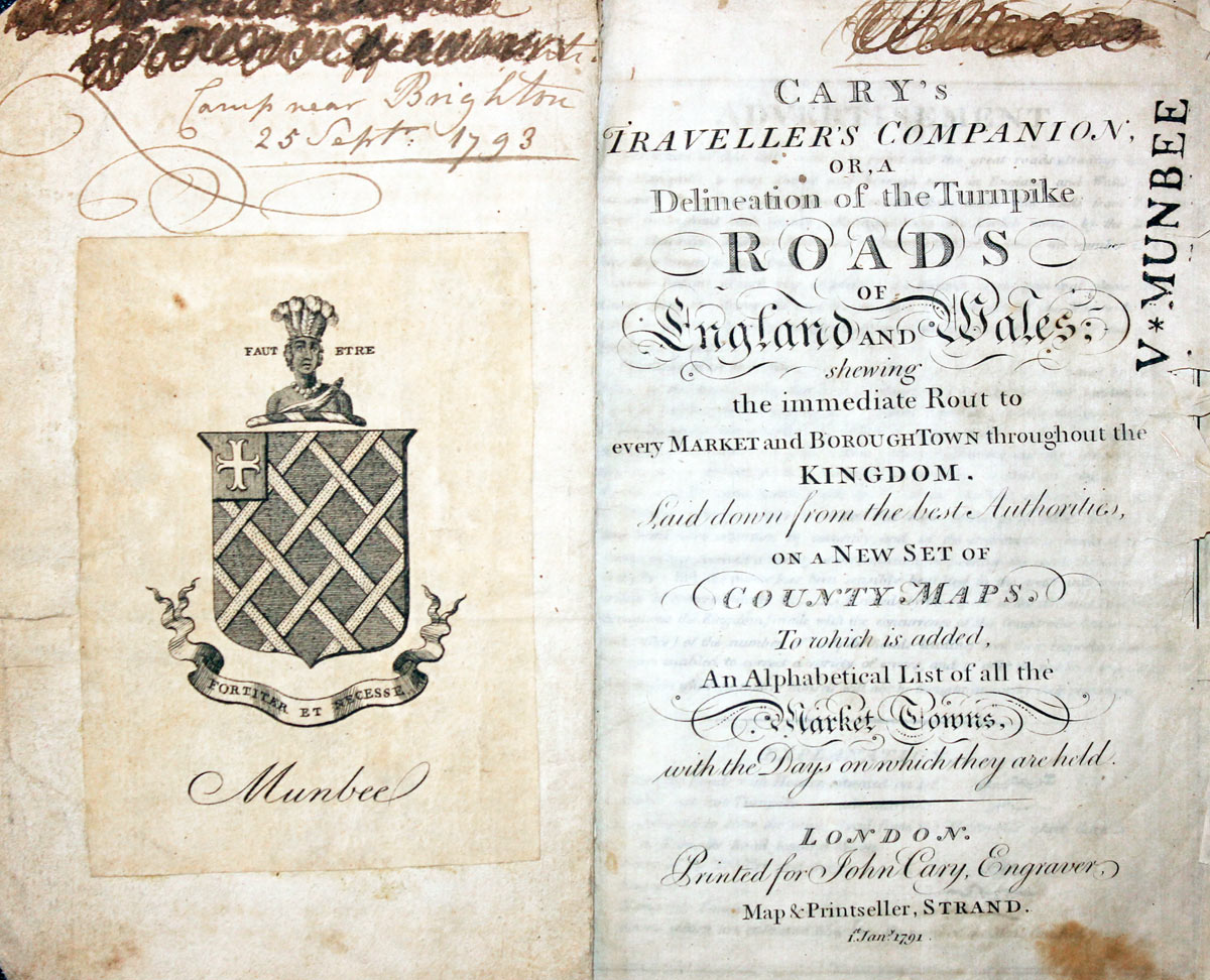
Titlep age dated 1791, maps dated 1792. The atlas was formerly in the Mumbee family library - title page stamped V. Munbee
Provenance
-
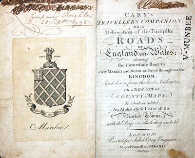
Cary Titlepage and Munbee Bookplate

Early 19th Century - Road Map
-

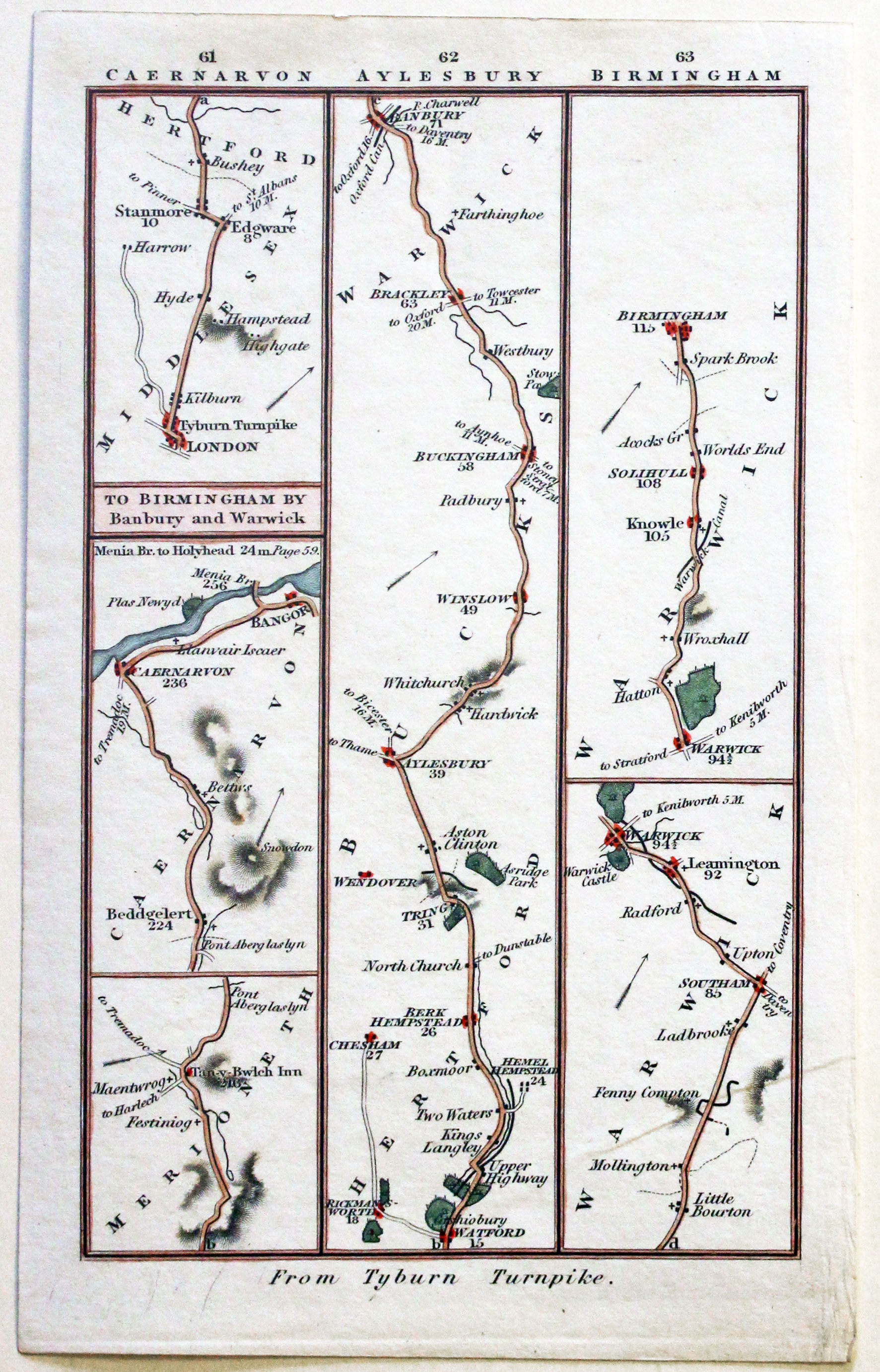
Road map London to Birmingham by Charles Smith 1826

32689 London to Birmingham, Charles Smith, 1826. Price: 28.00
PLATES 61-62-63
A strip road map showing six sections. The road from London to Birmingham. The road from Festiniog in Merionethshire to Caernarvon and Bangor on the Menai Straits. 3 x 6 inches. Hand coloured. Good condition.
From: Smith's New Pocket Companion of the Roads of England and Wales
Late 19th Century
-
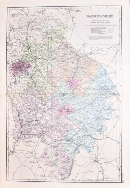
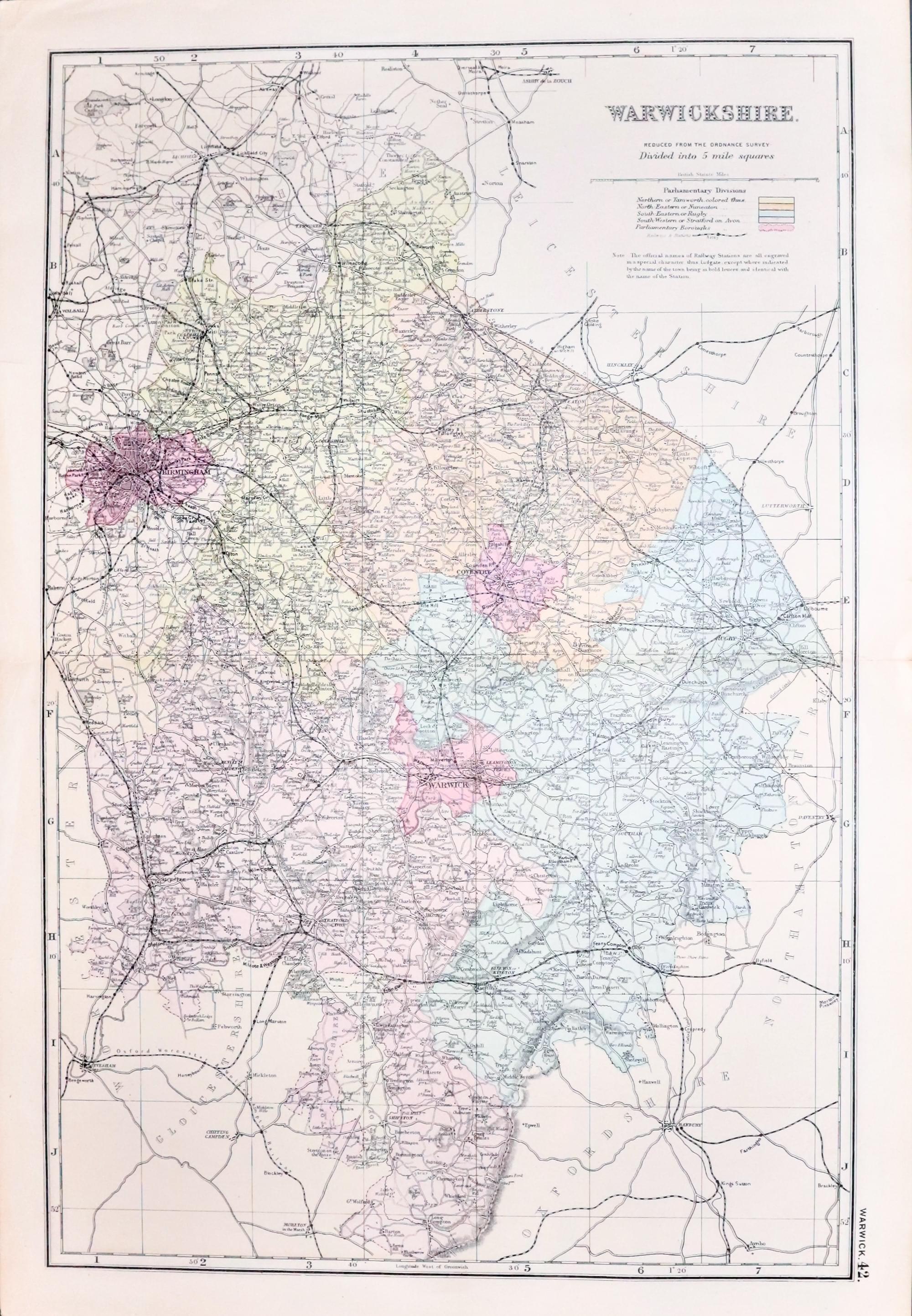
Warwickshire, George Washington Bacon c.1896

32702 Warwickshire, George Washington Bacon, c.1896. Price: 18.00
WARWICKSHIRE. REVISED ACCORDING TO THE LATEST ORDNANCE SURVEY. DIVIDED INTO 5 MILE SQUARES
A good detailed late 19th century colour printed lithograph map of the county. Shows the railways. 12 x 18 inches. Short splits at ends of the original centre folds and two short marginal tears repaired. Otherwise good condition.
17th Century - Text
-

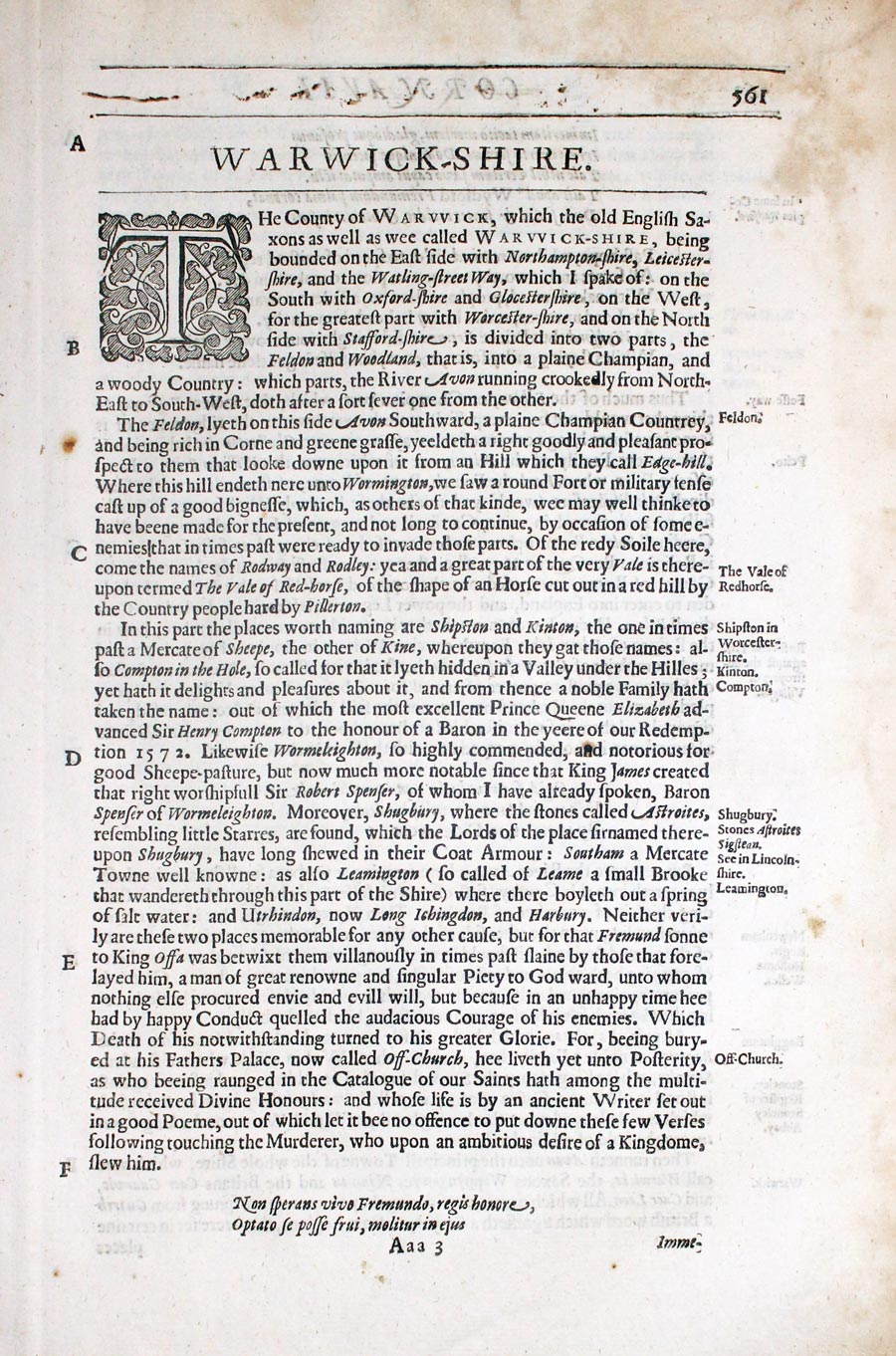
Warwickshire text from Camden's Britannia by William Camden 1637

32830 Warwickshire, William Camden, 1637. Price: 9.00
WARWICK-SHIRE
Pages 561 - 571 inclusive describing the county in English. About 13 x 8 inches. Good condition.
From: Camden’s Britanniaon
19th Century - Early Hand Colouring
-

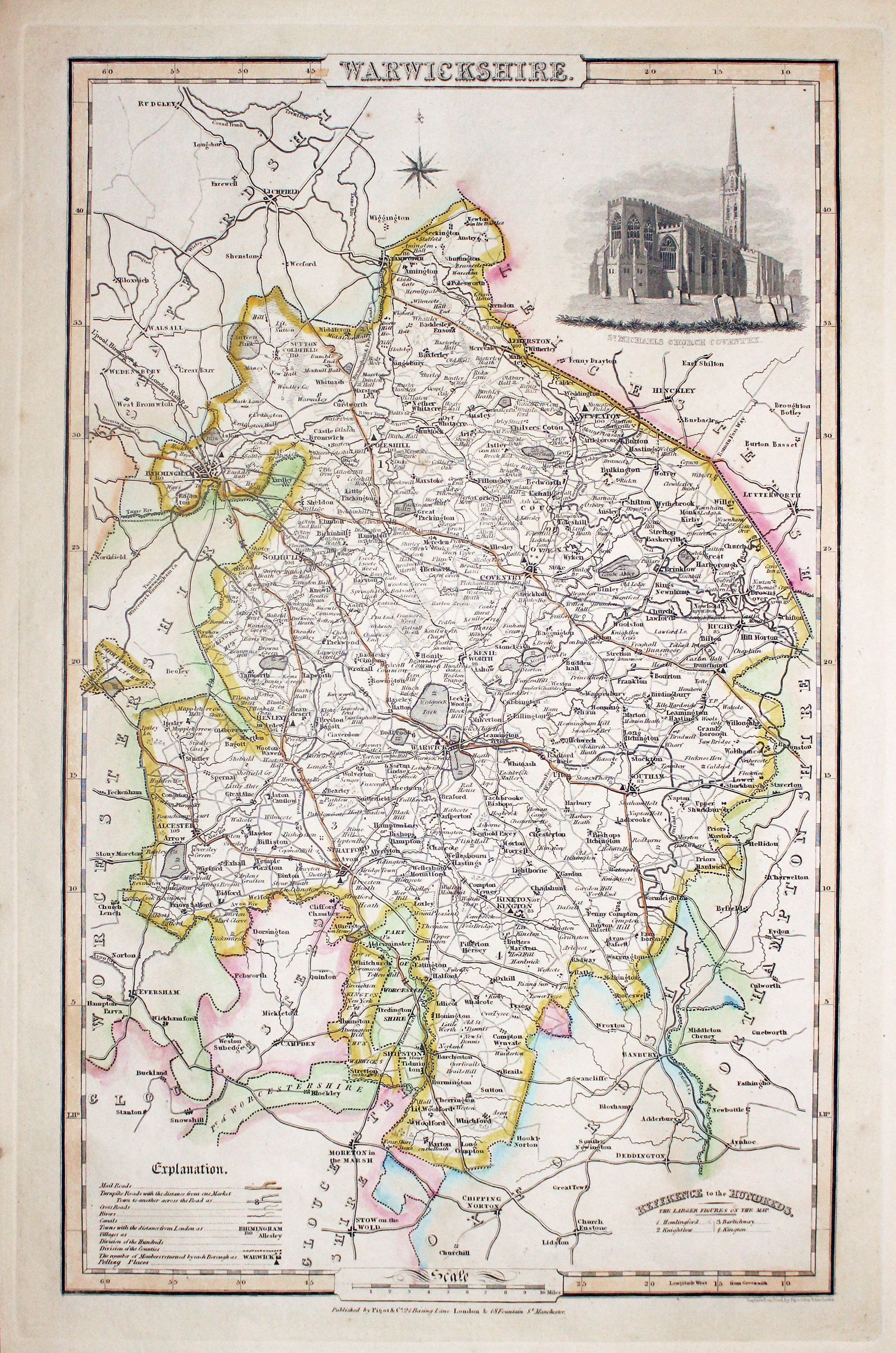
Map of Warwickshire, James Pigot c.1830

32852 Warwickshire, James Pigot, c.1830. Price: 76.00
WARWICKSHIRE
A good engraved map of the county with title, scale, explanation and list of hundreds. Embellished with an uncoloured view of St. Michael’s Church, Coventry. Imprint of the publishers Pigot & Co. 24 Basing Lane & 18 Fountains St. Manchester beneath. 8 3/4 x 14 inches. Original outline hand colouring. Nice stout paper. Good condition.
From: British Atlas
19th Century - Early Hand Colouring
-
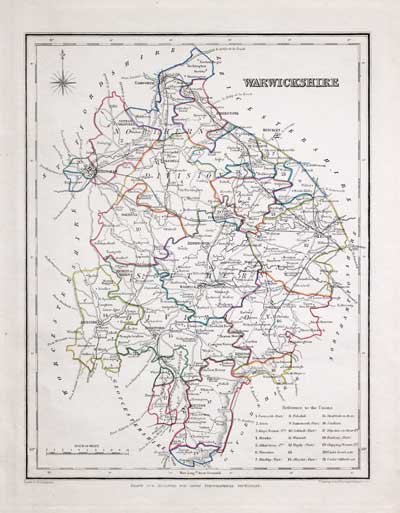
Map of Warwickshire, Samuel Lewis 1848

32940 Warwickshire, Samuel Lewis, 1848. Price: 30.00
WARWICKSHIRE
A county map drawn by R. Creighton and engraved by J. & C. Walker. Reference to the Unions. Scale and compass rose. 6 3/4 x 9 inches. Original outline hand colouring. Good clean condition. Straight from the atlas and not sold as a single map before now.
From: Lewis' Atlas to the Topographical Dictionaries of England and Wales
For the Collector
-

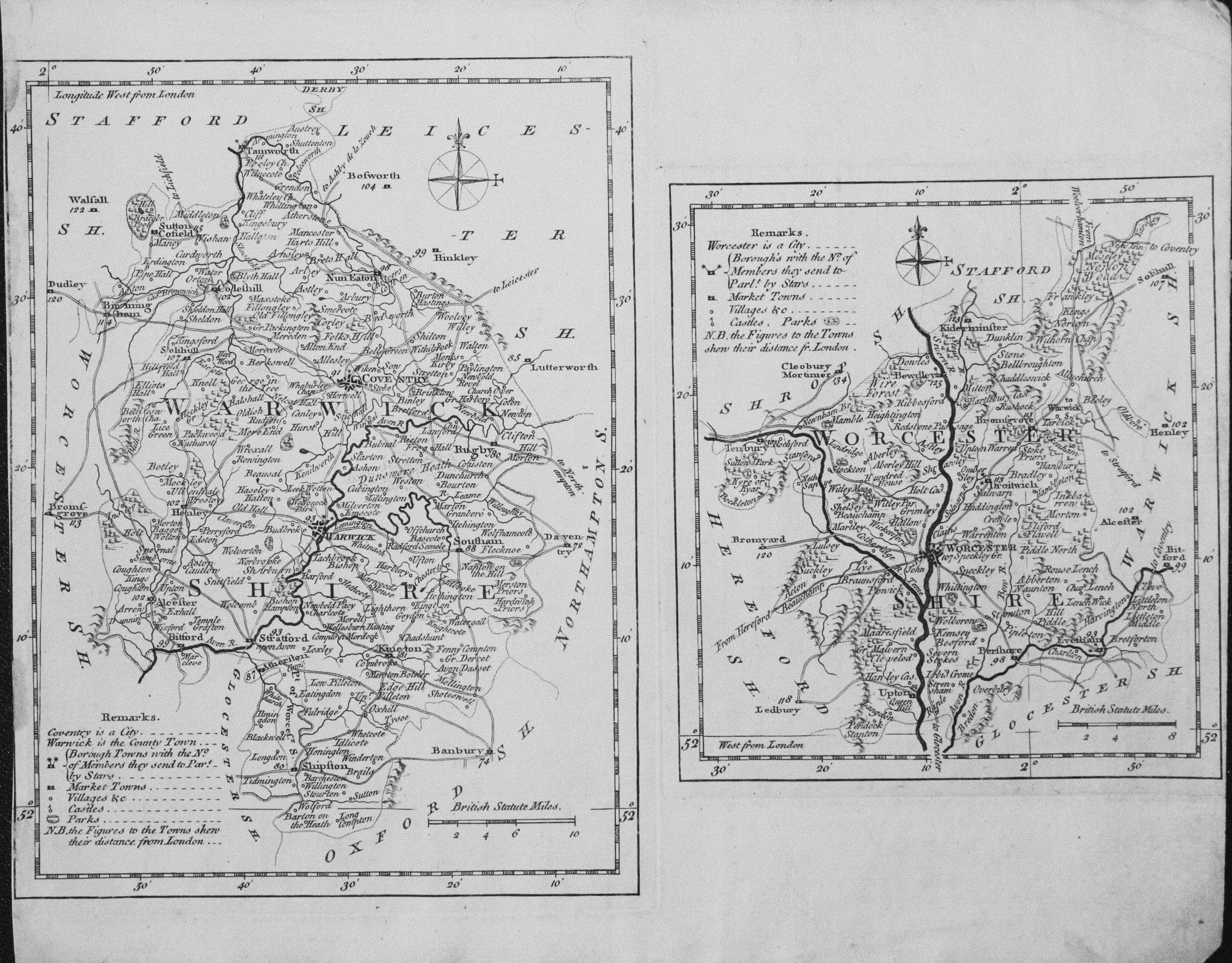
Warwickshire and Worcestershire T. Kitchin & J. Capper 1769

33039 Warwickshire and Worcestershire, Thomas Kitchin / J. Capper, 1769. Price: 62.00
WARWICKSHIRE
An untitled map of the county. 6 x 8 inches, Uncoloured. No left hand blank margin.
WORCESTERSHIRE
An untitled map of the county. 5 X 5 1/2 inches. Uncoloured. Small right hand blank margin. Some light dust soiling in the blank margins.
These two maps come from Kitchin’s Pocket Atlas of the Counties of South Britain or England and Wales published by J. Capper. The maps were engraved by Thomas Kitchin. Rare.
I think this may be the first time I have been able to offer these two county map on one sheet as they are so often split up into two maps.
This map was sold by me in my Chester shop in 1986 and now on offer again. I have marked it as a collector’s map as it rarely comes into stock. I see that I have not had another specimen of this map since I sold this specimen 31 years ago. At the time it had come from a complete copy of Kitchin’s Pocket Atlas that I was splitting
Early 19th Century
-

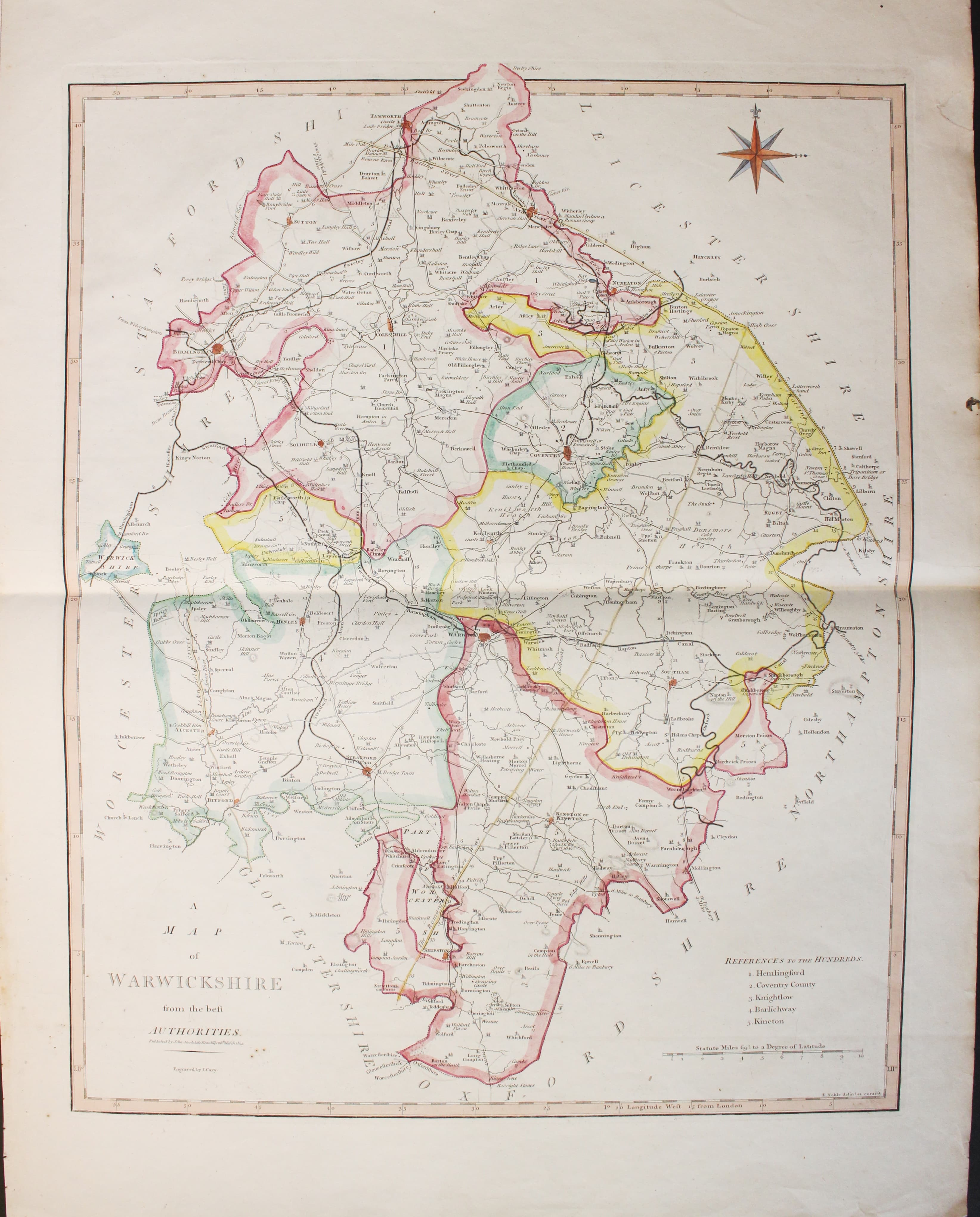
Warwickshire, John Cary & John Stockdale c.1808

33119 Warwickshire, John Cary & John Stockdale, c.1808. Price: 50.00
A MAP OF WARWICKSHIRE FROM THE BEST AUTHORITIES
A good detailed map of the county with publisher’s imprint dated 1805. 16 1/2 x 19 1/2 inches. Repair to a small area of the upper blank right hand side margin otherwise good clean condition with wide blank margins. Originally bound on edge so there is no centre fold but there is a light fold crease up the centre of the map. Later outline hand colouring to the map.
From: New British Atlas published by John Stockdale, Piccadilly
Late 18th Century
-

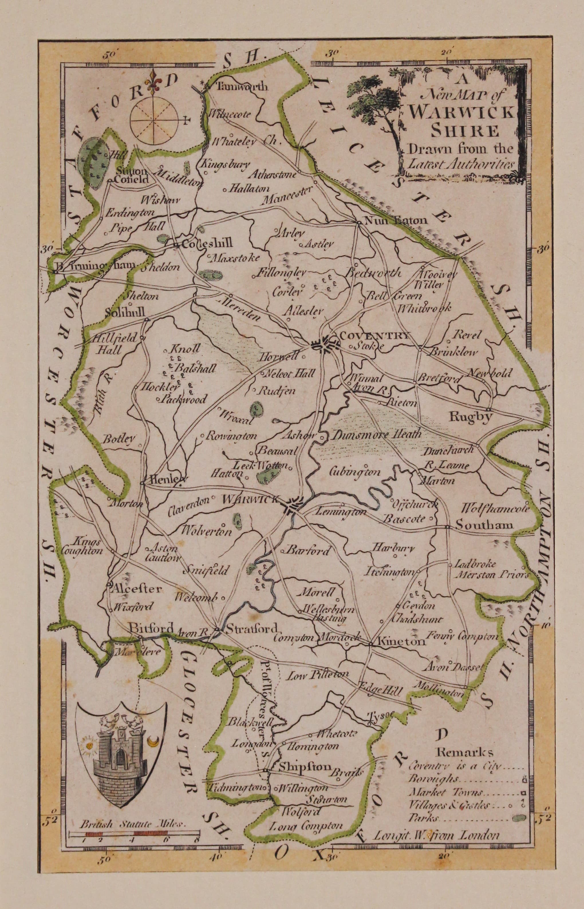
Warwickshire, George A. Walpoole 1794
33146 Warwickshire, George August Walpooe, 1794. Price: 30.00
A NEW MAP OF WARWICKSHIRE DRAWN FROM THE LATEST AUTHORITIES
An engraved county map with a small pictorial title cartouche. Coat of arms and remarks. 4 1/4 x 7 inches, 110 x 180 mm. Hand coloured. Trimmed close to all round which is quite common as the map was printed on a sheet butting up against other maps. Attached to a sheet of card and in a dark green sunk mount. So all ready to frame.

18th Century
-

Warwickshire, George A. Walpoole 1794
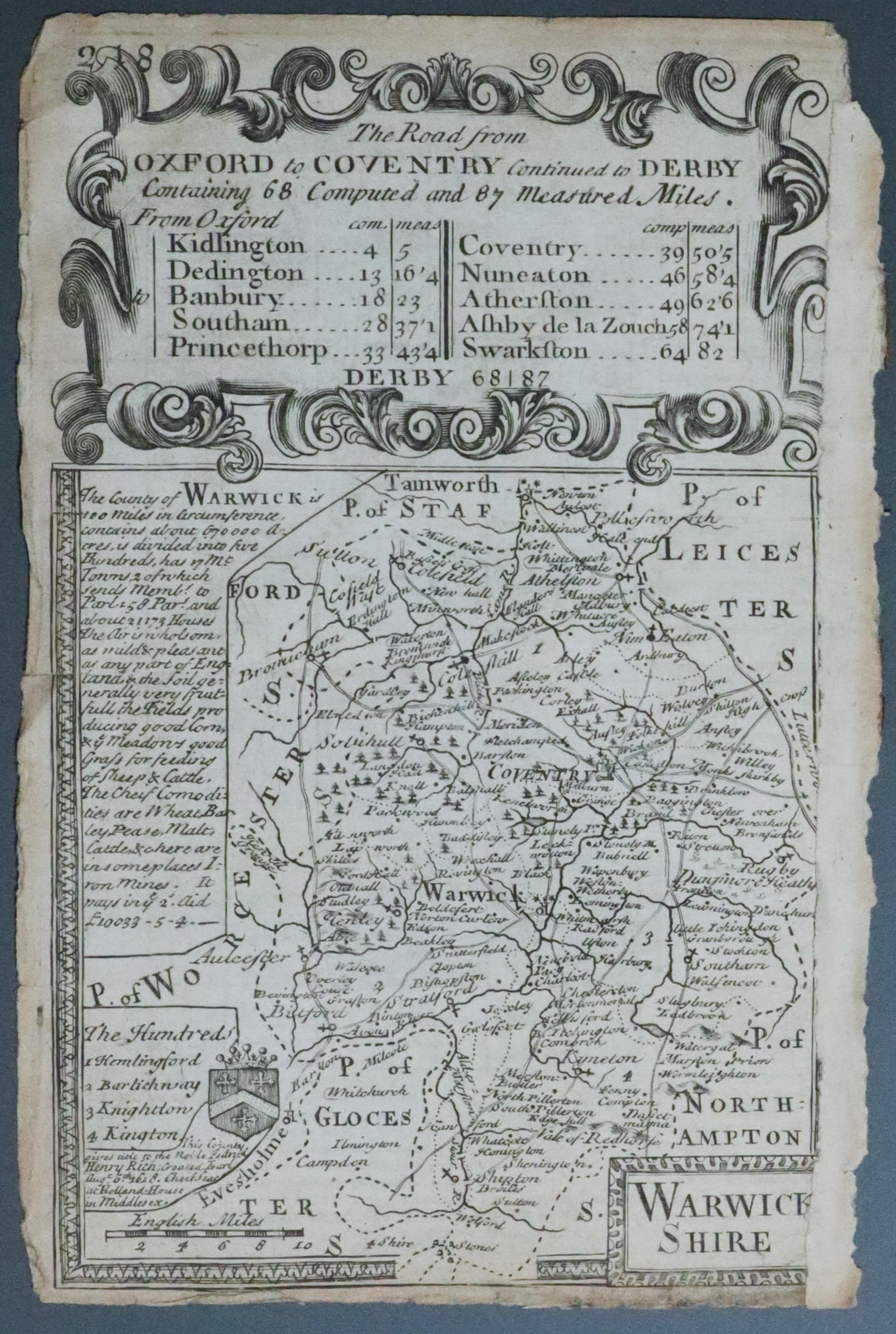
33241 Warwickshire, John Owen & Emanuel Bowen, c.1730. Price: 4.00
WARWICK SHIRE
An engraved county map with title panel, coat of arms, list of hundreds and description. The map is surmounted by a decorative cartouche titled The Road from Oxford to Coventry Continued to Derby. Strip road map on verso showing the route from Basingstoke in Hampshire to Chichester with coat of arms and engraved notes. 4 x 7 inches. Uncoloured Small tear on the left. Small bottom blank margin. Not the best of specimens but useful for reference. Special price.
From Britannia Depicta

Late 17th Century
-
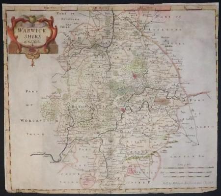
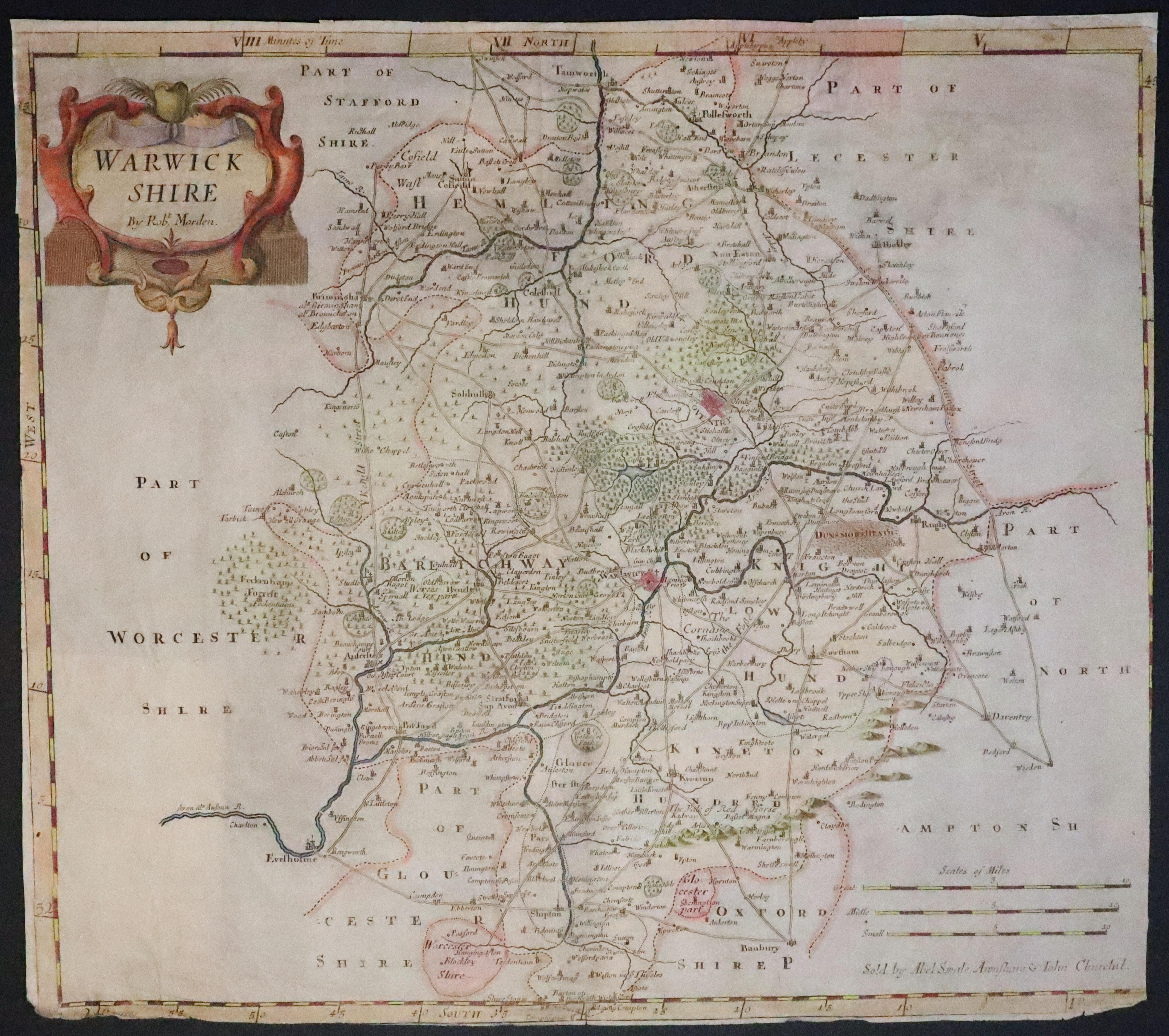
Warwickshire, Robert Morden 1695
33245 Warwickshire, Robert Morden, 1695. Price: 24.00
WARWICK SHIRE By Robt. Morden
An engraved county map embellished with a decorative title cartouche. Three scales. 16 x 14 1/4 inches. Hand coloured. This is not up to the standard of maps I normally offer as it has some trimming and four paper patches on the verso. So quite sure what these are for as there do not appear to be any tears. So if you are happy with a less than perfect specimen this one is being offered at a special price. Because of the thiness of the paper I have dated it as the first edition of 1695.
From Camden's Britannia.
19th Century - Decorative

33302 Warwickshire, Thomas Moule c.1850. Price: 5.00
WARWICKSHIRE
A decorative Victorian map of the county. Patterned border displaying coats of arms, portrait of Shakespeare and views of Kenilworth and Warwick Castles. 8 x 10 inches. Uncoloured. Lighter area in centre of the map. Repair on verso to the bottom left corner across the view of Warwick Castle. Special Price.
From: Barclay’s Dictionary


