Antique Maps of Yorkshire
West Riding
Richard Nicholson of Chester
A World of Antique Maps and Prints

Established in 1961
All the Maps on this page are guaranteed to be genuine early specimens
published in or around the year stated
18th Century - County and Road Map
-

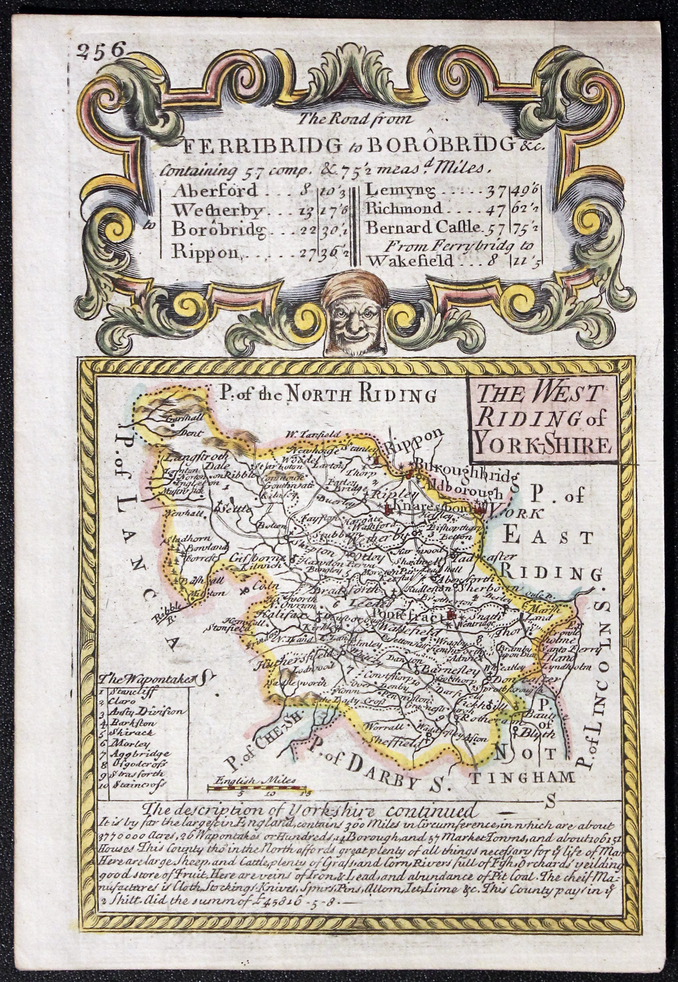
Yorkshire West Riding, John Owen and Emanuel Bowen, 1736
-
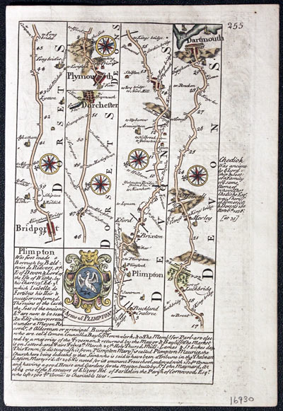
Yorkshire West Riding, John Owen and Emanuel Bowen, 1736
16930 Yorkshire West Riding, John Owen and Emanuel Bowen, 1736. Price: 57.00
THE WEST RIDING OF YORK-SHIRE
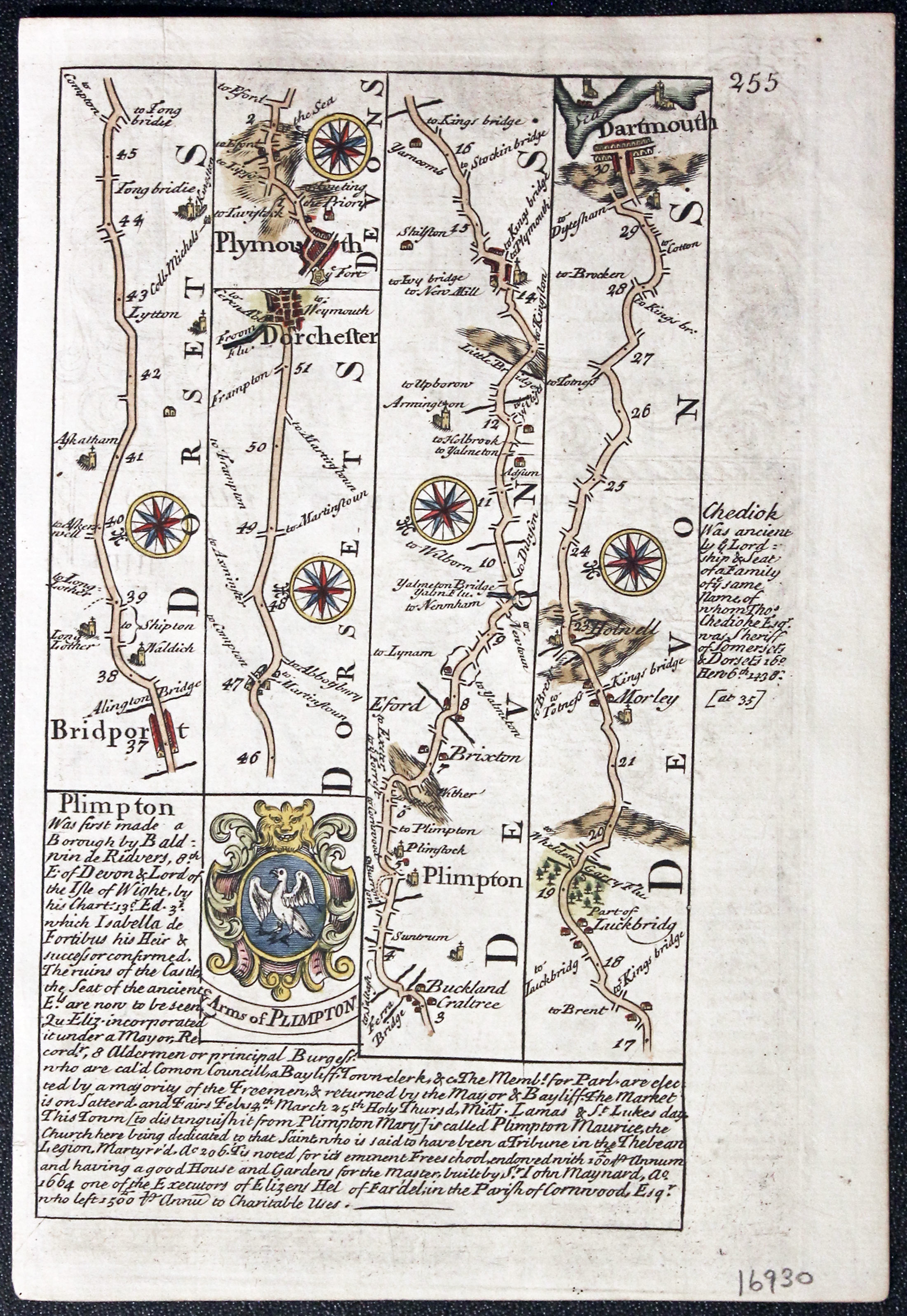
An engraved map of the Riding with title panel and list of wapontakes. Description beneath and a decorative baroque cartouche on top titled The Road from Ferribridg to Borobridge. Road map on verso from Bridport to Dorchester and Plymouth to Dartmouth with coat of arms and engraved notes. 4. 1/2 x 7 inches, 115 x 185 mm. Hand coloured on both sides. Good clean undamaged condition. A Nice specimen.
From: Britannia Depicta

19th Century
-
Part of the West Riding, Joshua Archer, c.1845

30370 Part of the West Riding, Joshua Archer, c.1845. Price: 14.00
YORKSHIRE WEST RIDING
A detailed engraved map showing part of the West Riding including, Sheffield, Huddersfield, Wakefield, Leeds, Otley, Skipton and Wetherby. Explanation and list of wapentakes. 9 1/4 x 7 inches. Uncoloured. Lightly toned. Good condition.
From: Dugdale’s England and Wales Delineated
18th Century - Interesting Provenance
-

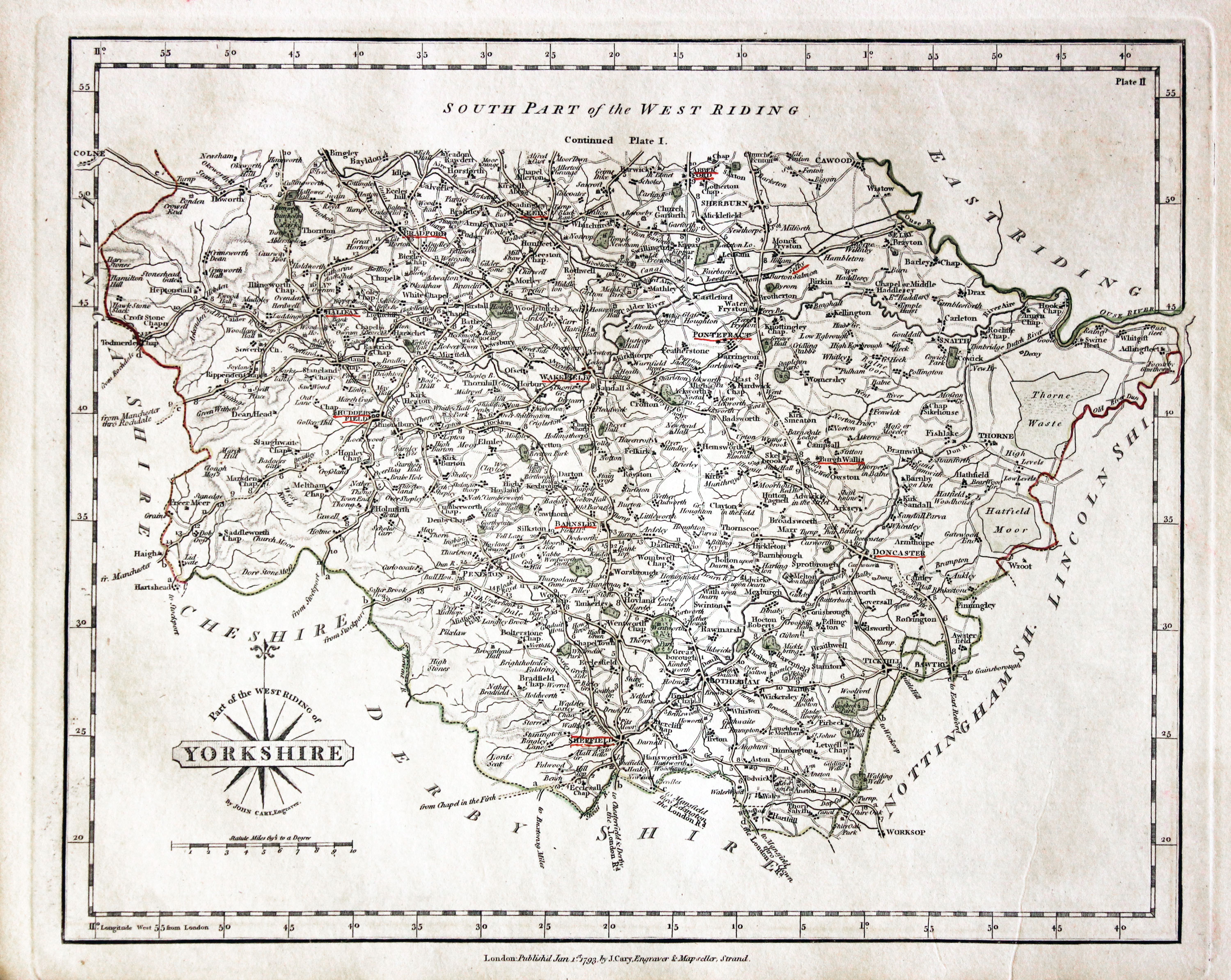
Part of West Riding, John Cary 1793

30894 Part of West Riding, John Cary 1793. Price: 48.00
A good engraved map of the Riding. Title panel and compass rose combines. Imprint of John Cary dated 1793. Original outline hand colouring. 8 1/4 x 10 1/4 inches. Some town names underlined in red. Good condition.
From: Cary's New and Correct English Atlas
Provenance: John Hobson Matthews
The places underlined in red ink are those in which a Catholic mission has been established between the era of the Reformation and the year 1840
John Hobson Matthews (1858 - 1914) Born in Croydon in 1858. Educated at schools at Blackheath and Cambridge. Worked for a shipping firm in Malta. A good linguist he was a Roman Catholic historian, archivist and solicitor. You will find more details about him here in the Dictionary of Welsh Biography.
18th Century - Early Hand Colourings
-

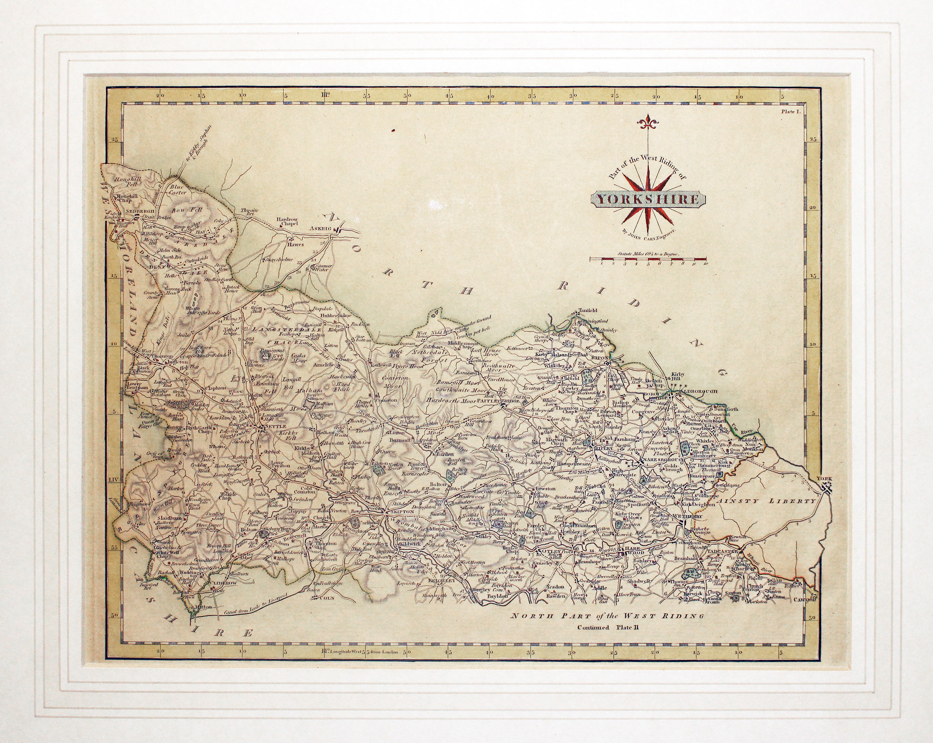
Part of West Riding, John Cary 1793

31016 Part of West Riding, John Cary 1793. Price: 40.00
PART OF THE WEST RIDING YORKSHIRE
A detailed engraved map of the northern half of the Riding. Title panel and compass rose combined. Cary's imprint beneath dated 1793. 10 1/4 x 8 1/4 inches. Centre fold. Old manuscript numbering in blank margin 188 and 189. Original outline hand colouring. Small split at the bottom of the centre fold repaired. Otherwise good condition.
From: Cary’s New and Correct English Atlas
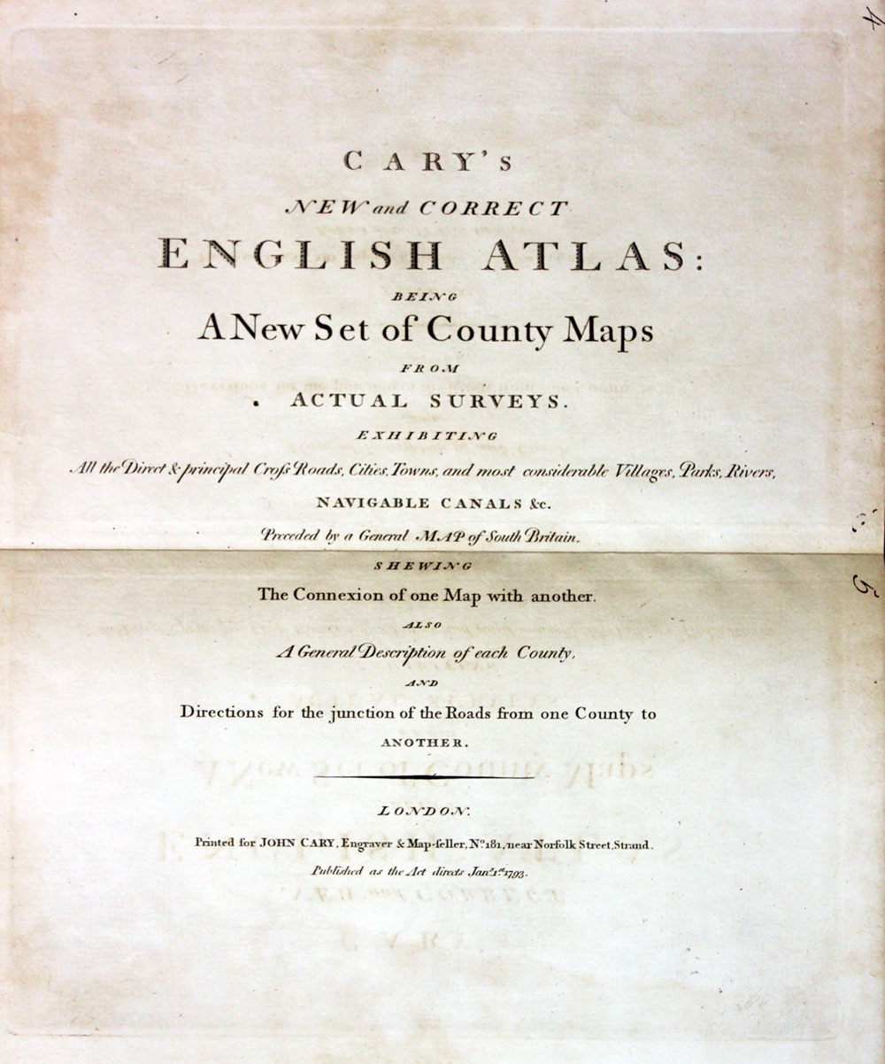
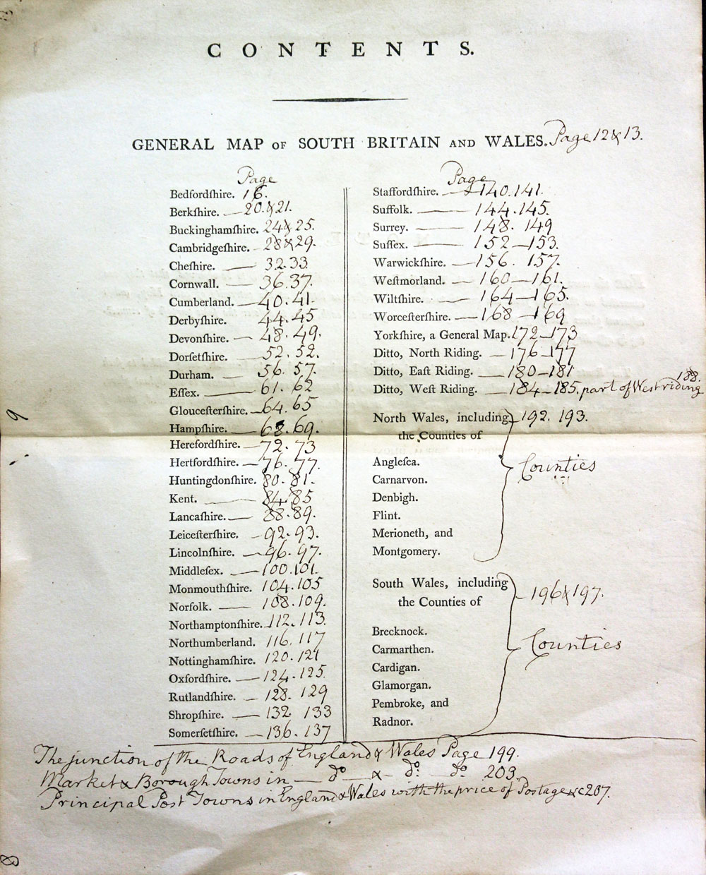
ATLAS TITLEPAGE AND ANNOTATED CONTENTS PAGE
-

Cary's New and Correct English Atlas
-
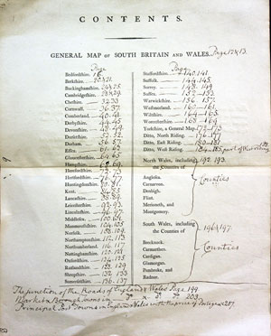
Cary's New and Correct English Atlas
Early 19th Century - Early Hand Colourings
-

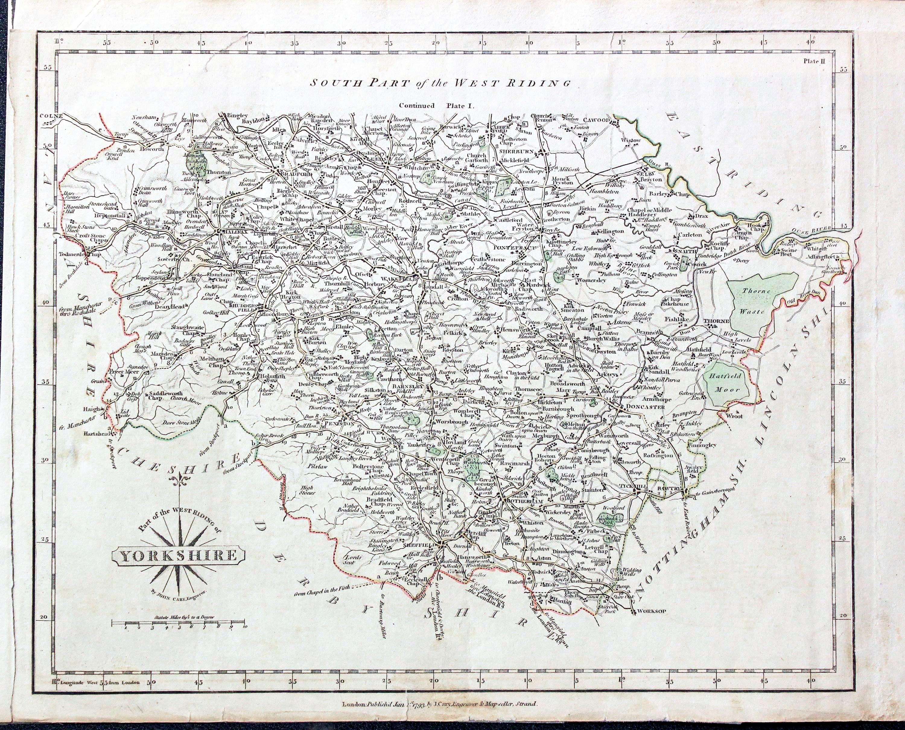
Part of the West Riding Yorkshire, John Cary 1793

31731 Part of the West Riding, John Cary, 1802, Price: 14.00
PART OF THE WEST RIDING OF YORKSHIRE
An engraved map of the southern half of the West Riding. Title panel and compass rose combined. Publisher's imprint dated 1793. 10 1/4 x 8 1/4 inches. Original outline hand colouring. The top blank margin has been replaced and the left hand side margined has been widened a little. I have dated this map 1802 because the many of the other maps in the atlas were watermarked with the date of 1802. The titlepage of the atlas was dated 1793.
From: From New and Correct English Atlas
SPECIAL PRICE
19th Century - Decorative
-

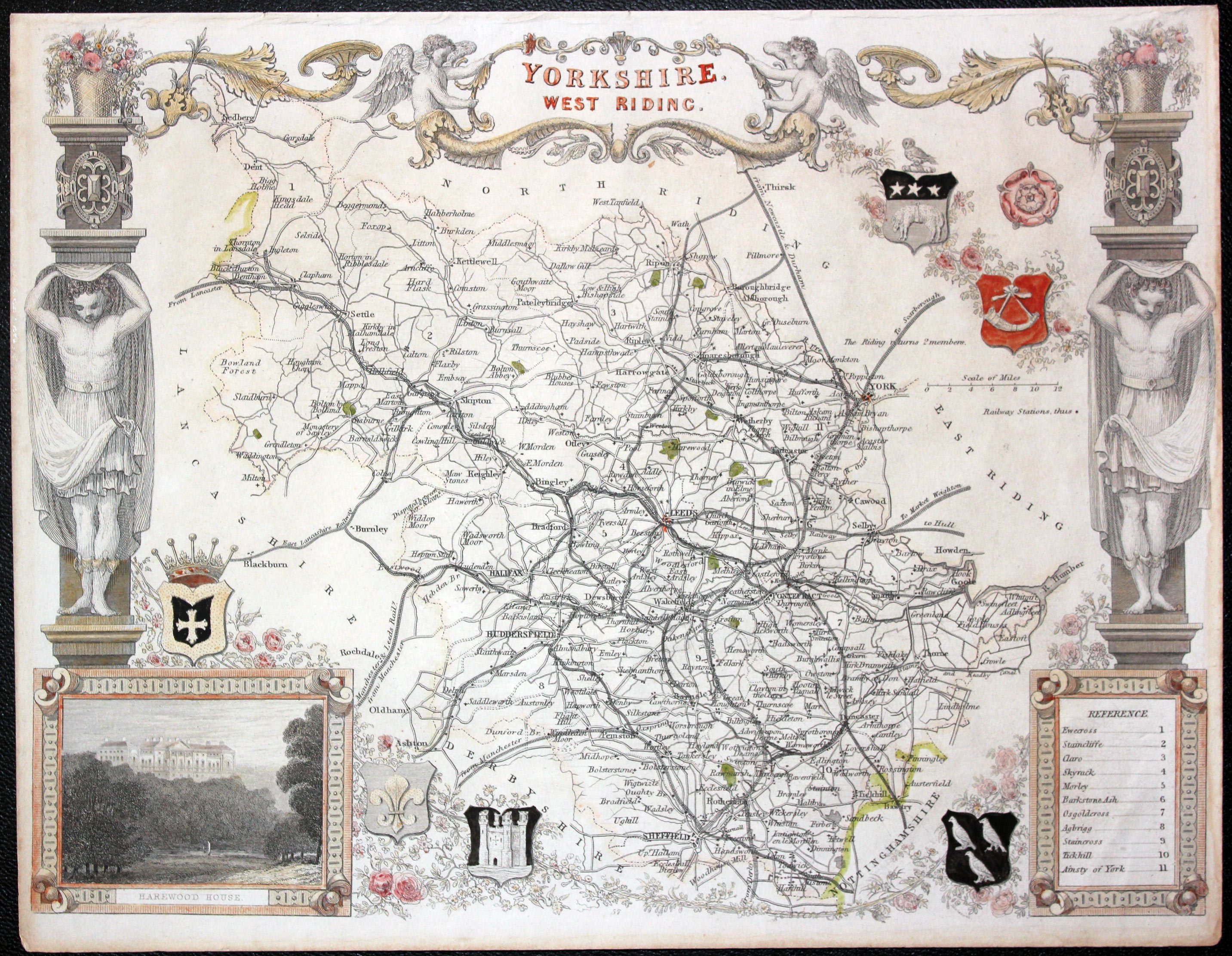
Yorkshire West Riding map by Thomas Moule c.1850

32597 West Riding - Yorkshire, Thomas Moule, c.1850. Price: 49.00
YORKSHIRE WEST RIDING
A decorative Victorian map of the Riding. Set within an ornate border with inset view of Harewood House and embellished with coats of arms. 10 x 8 inches. Partially hand coloured. Good condition.
From: Barclay's Complete & Universal English Dictionary
19th Century - Town Plan
-

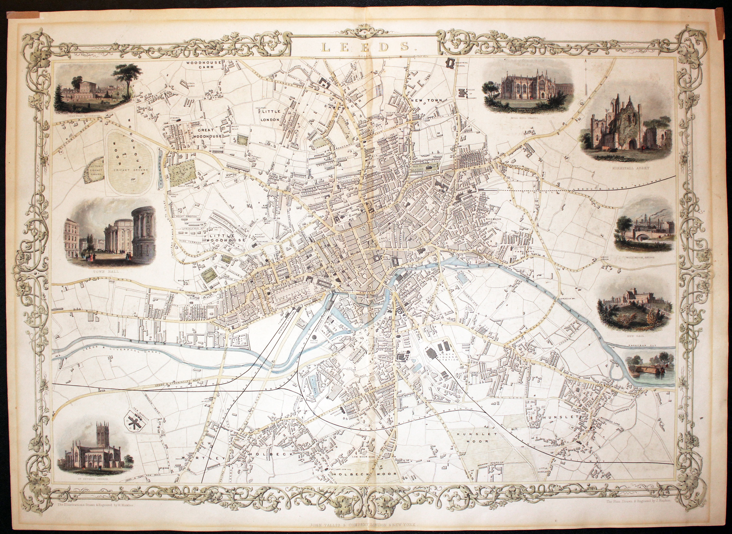
Plan of Leeds by John Tallis published in 1855

32599 Leeds. John Tallis, c.1855. Price: 105.00
LEEDS
A detailed and decorative engraved 19th century double page plan of the city of Leeds. Drawn and engraved by J. Papkin. Set within a leaf pattern scrollwork border and embellished with 8 vignette local views. Cemetery Woodhouse, Town Hall, St.Peter’s Church, Mill Hill Chapel, Kirkstall Abbey, Wellington Bridge, New Gaol and Knostrop Cut. Some light hand colouring the central city area and the vignette views. The plan has a brown outer line cause by it being in a sunk mount at sometime. So it would be best if the plan was again put into a mount before framing. Traces of small pieces tape in the two top corners remaining from the plan being in a mount. Original centre fold. Some 19 x 13 inches. Publisher’s imprint beneath.
From: The Illustrated Atlas of the World
19th Century - Town Plan
-

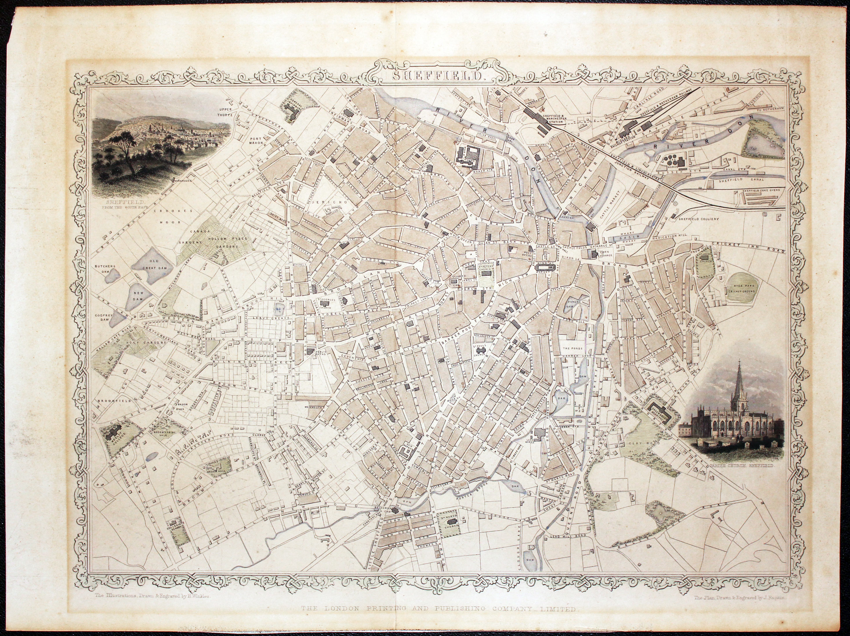
Sheffield Town Plan by John Tallis, c.1851

32600 Sheffield, John Tallis, c.1851. Price: 70.00
SHEFFIELD
A detailed engraved Victorian town plan set within a patterned border and embellished with two vignette views of Sheffield from the South East and Parish Church Sheffield. Drawn and engraved by J. Rapkin. Some light hand colouring to the plan area and the vignettes. Lightly toned. Change in paper tone where the plan has been in a sunk mount in the past. So it would be a good idea if the plan was mounted again before framing. Original centre fold.
From: The Illustrated Atlas of the World
18th Century - First Edition
-

Yorkshire West Riding map by William Hole after Christopher Saxton 1637

32814 West Riding - Northern Half, John Cary 1787. Price: 49.00
PART OF THE WEST RIDING YORKSHIRE
The FIRST EDITION of this detailed engraved map of the northern half of the Riding. Title panel and compass rose combined. Cary's imprint beneath dated 1787. 10 1/4 x 8 1/4 inches. Original outline hand colouring with some additional more modern hand colouring. The map is in an old ivory tint sunk mount with wash and line border. The mount is probably good enough to continue using when framing. The mount however, does obscure the publisher’s imprint dated 1787 beneath the map. The map is mid toned all over caused by it getting too much light. This is revealed when you look at the portions of the map hidden under the mount. Good condition.
From: Cary’s New and Correct English Atlas
19th Century
-

Map of West Riding of Yorkshire by Thomas Letts

32995 Yorkshire - West Riding, Thomas Letts, 1884. Price: 28.00
W. RIDING
A detailed chromolithograph map of the Riding. Explanation plus statistics concerning Population, Area, Inhabited Houses, Poor Rate and Paupers. 15 1/2 x 12 1/2 inches. Original centre fold. Imprint of Letts & Son beneath. Fine clean condition. Straight from the atlas so never previously been sold as a single map.
From: Lett’s Popular County Atlas
Early 19th Century
-

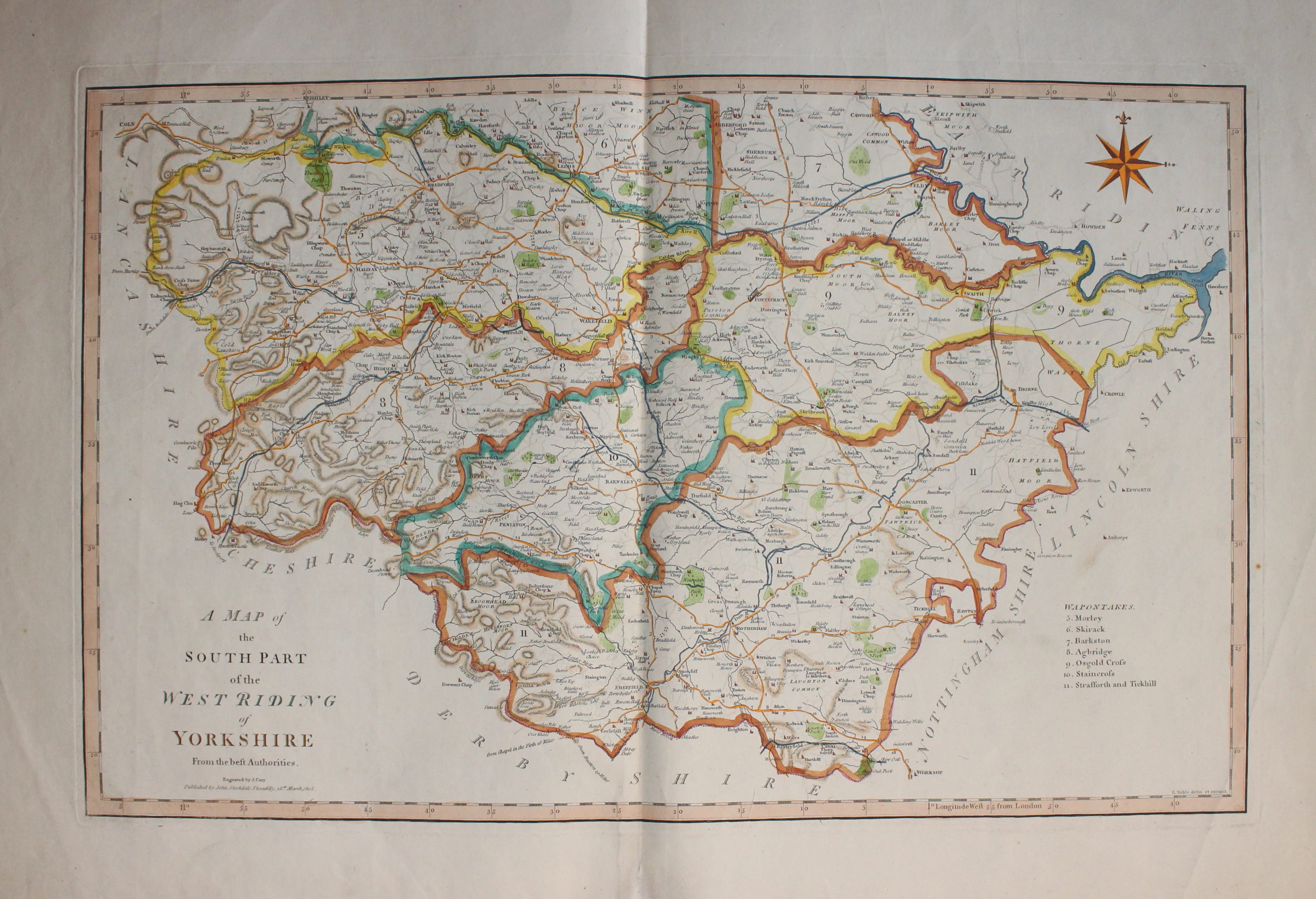
South West Riding of Yorkshire, Cary & Stockdale 1805

33128 Yorkshire - South Part of the West Riding, John Cary & John Stockade, c.1805. Price 42.00
A MAP OF THE SOUTH PART OF THE WEST RIDING FROM THE BEST AUTHORITIES
A good detailed map of the county with publisher’s imprint dated 1805. 20 1/2 X 13 1/2 inches. Originally bound on edge so there is no centre fold but there is a light fold crease up the centre of the map. Later outline hand colouring to the map. Two light creases in bottom corners otherwise nice clean condition with wide blank margins.
From: New British Atlas published by John Stockdale, Piccadilly.
18th Century - First Edition
-

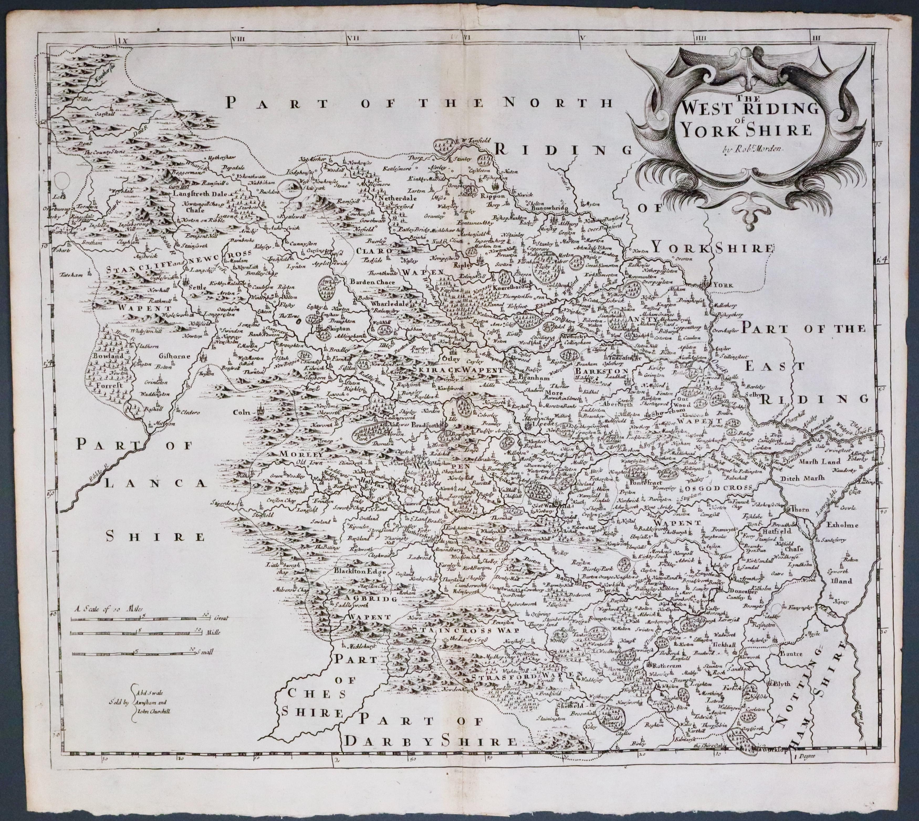
Yorkshire West Riding, Robert Morden 1695
33513 Yorkshire West Riding, Robert Morden 1695. Price: 175.00
THE WEST RIDING OF YORK SHIRE BY ROBT. MORDEN
The FIRST EDITION of this good engraved late 17th century map of the Riding embellished with a decorative title cartouche. Three scales. Imprint of the publishers Abel Swale with Awnsham and John Churchill. 16 x 14 inches, 410 x 360 mm. Uncoloured. Nice dark impression. Original centre fold. Imprint of the publishers Abel Swale, Awnsham & John Churchill. Nice dark impression. Good condition. This map has been taken straight from the atlas and therefore not previously offered for sale as a single map.
From: Camden's Britannia
