Antique Maps of Hungary
Richard Nicholson of Chester

Established in 1961
The maps on this page are guaranteed to be genuine early specimens published in or around the year stated
18th Century - Miniature
-

Hungary, John Gibson, 1758
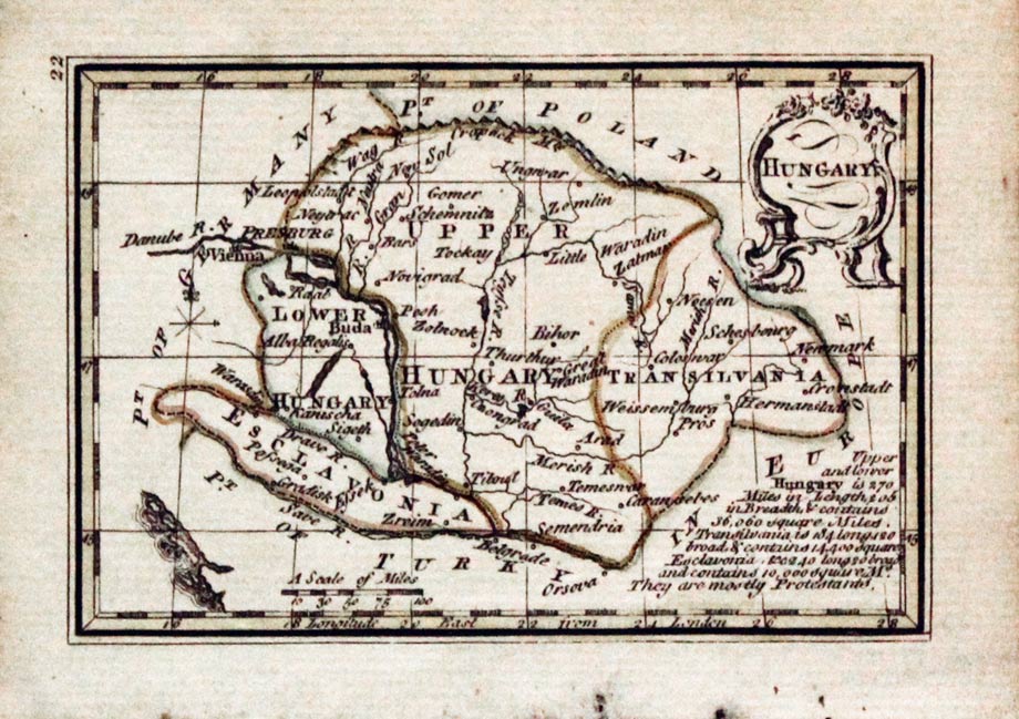
23889 Hungary, John Gibson, 1758. Price: 50.00
HUNGARY
A miniature engraved map. Uncoloured rococo cartouche. Engraved note. 3 1/2 x 2 1/2 inches. Original outline hand colouring. Good condition.
From: Atlas Minimus
17th Century Miniature
-

Hungary Pieter van den Keere 1668
-

Text for Hungary Pieter van den Keere 1668
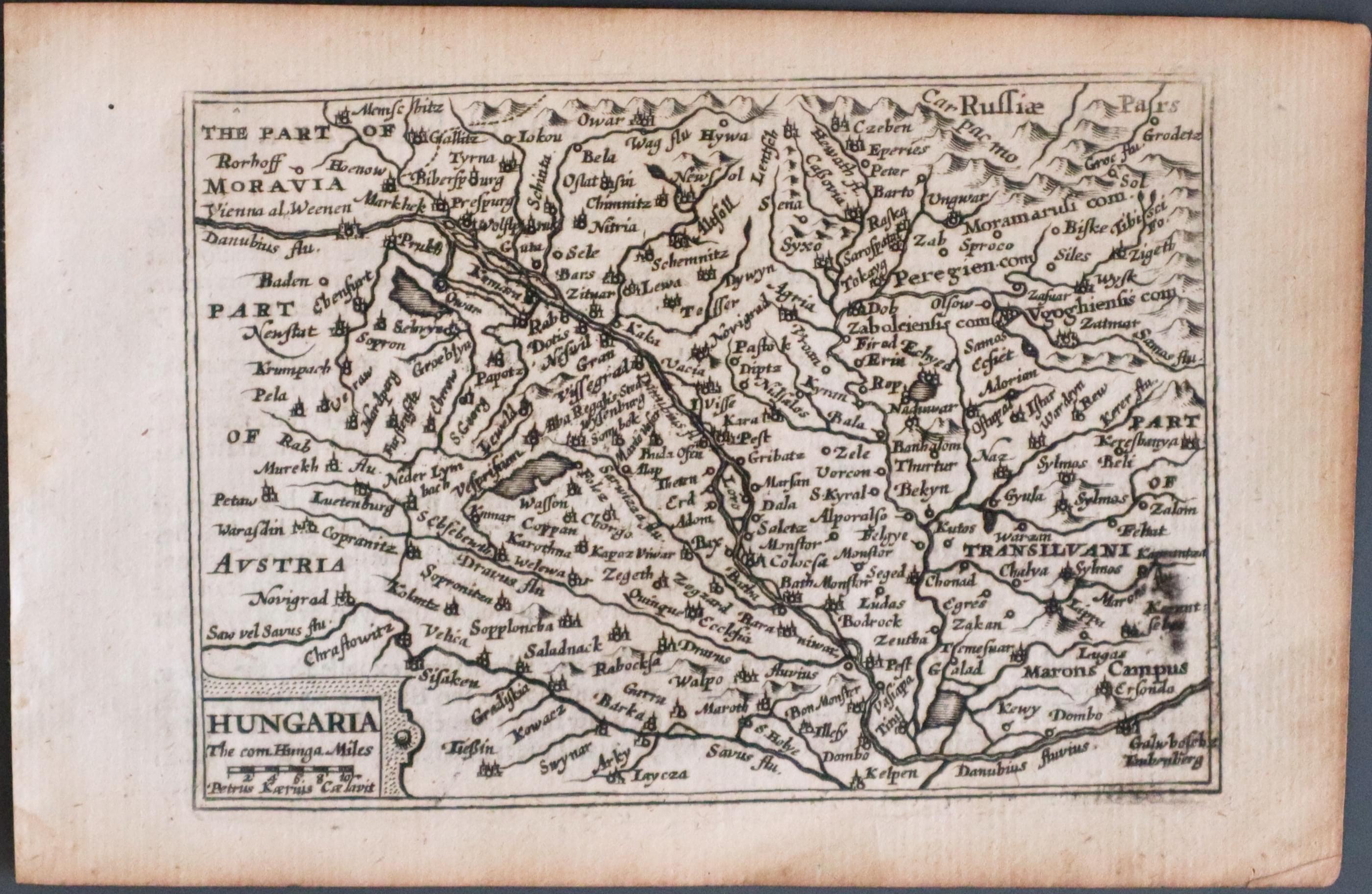
22166 Hungary, Pieter van den Keere 1668. Price: 90.00
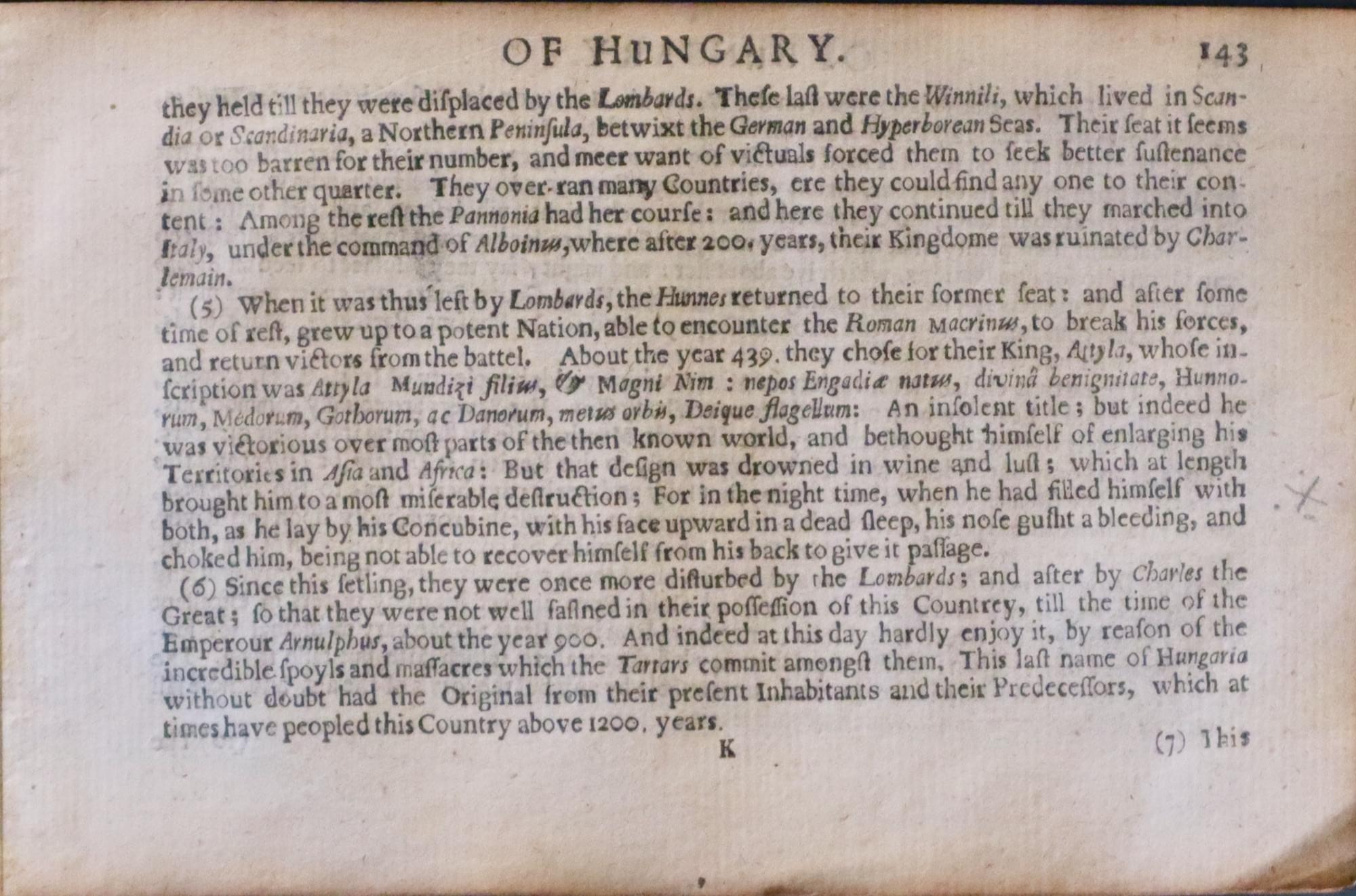
HUNGARY A miniature engraved map of the country which includes parts of Transyvania, Austria, Moravia and Russia. A cartouche displays the title and scale. 4 3/4 x 3 1/4 inches. Uncoloured. Descriptive English text on verso. With this map are three additional sheets showing the the continuing on pages 143,144,145146,147 and 148. This map has been taken straight fro the atlas and therefore not been offered for sale previously as a single map. Good clean condition.
From: A Prospect of the Most Famous Parts of the World published by Roger Rea.
19th Century - Early Hand Colouring
-

Poland, Prussia and Hungary, C V Lavoisine 1830
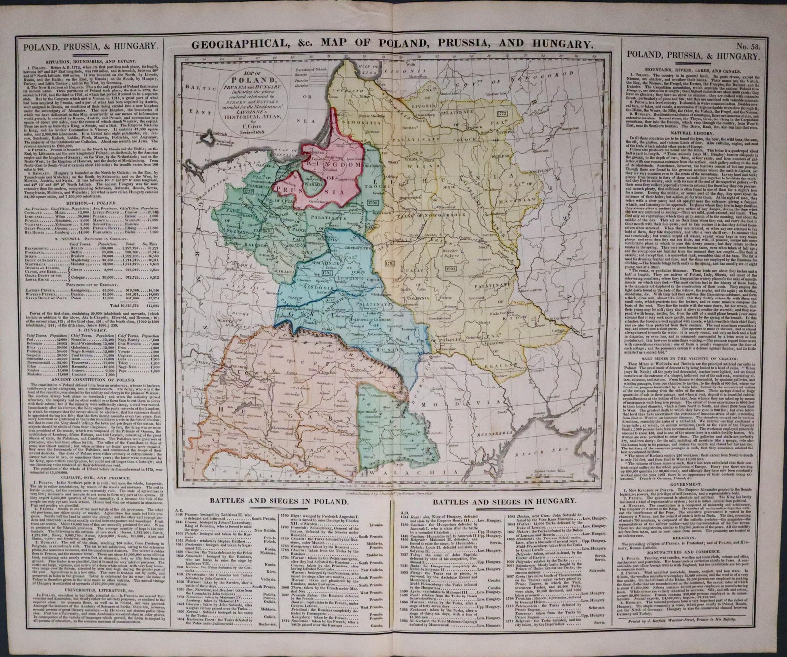
28784 Poland, Prussia and Hungary, C. V. Lavoisne, 1830. Price: 80.00
MAP OF POLAND, PRUSSIA AND HUNGARY, INDICATING THE PLACES RENDERED CELEBRATED BY SIGES AND BATTLES INTENTED FOR THE ELUCIDATION OF LAVOISNE’S HISTORICAL ATLAS BY C. GROS REVISED 1828
An engraved map of Poland, Prussia and Hungary with a circular title panel. Down the two sides and across the base are interesting panels of English text giving information on the Battles, Sieges, Climate, Soil, Natural History, River, Canals, Mountains, Population, Language and Commerce. With the text the whole measures 20 1/2 x 16 1/2. Original wash hand colouring. Good condition.
From: Lavoisne’s Complete Genealogical, Historical, Chronological, and Geographical Atlas. The fourth edition printed and published by J. Barfield in London
Large 18th Century Map
-

Hungary Bulgaria & Moldova, John Senex c.1712
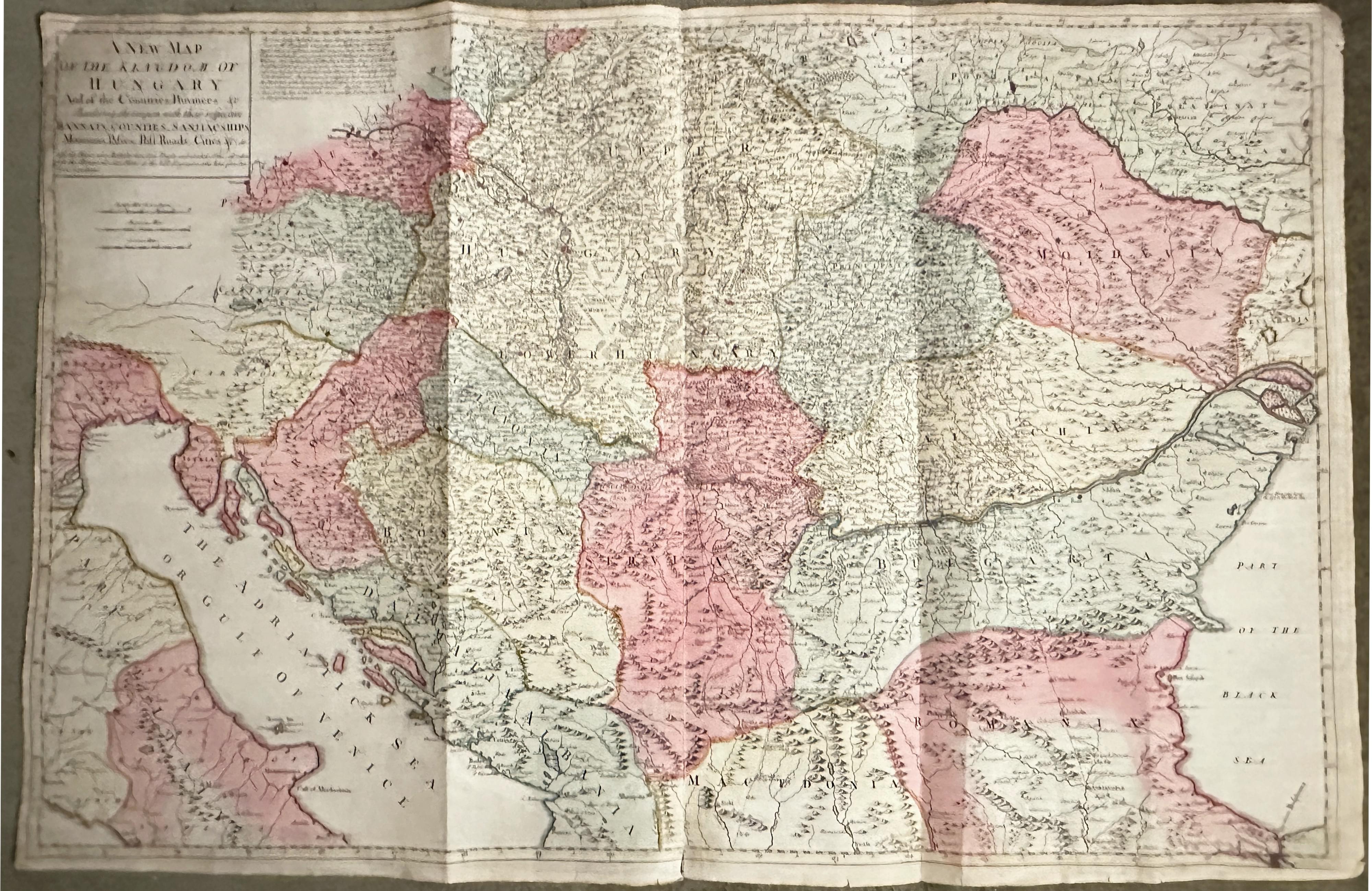
33460 Hungary, Bulgaria & Moldova, John Senex, c.1712. Price: 295.00
A NEW MAP OF THE KINGDON OF HUNGARY AND OF THE COUNTRIES, PROVINCES &C BORDERING THEREUPON , WITH THEIR REPECTIVE BANNATS, COUNTIES, SANJIAC SHIPS, MOUNTAINS, PASSES, POST ROADS, CITIES &C also the Places where Battels have been Fought and at what Time , all take from the Memorials and Plans of the best Enginiers who have serv’d un theose Countries
A large impressive engraved map extending from the Adriatic to the Black Sea. Title panel. 39 1/2 x 25 3/4 inches. Original outline and wash hand colouring. Small blank margins. Printed on two sheets and joined. A number of small nicks out the outer edges of the margins but otherwise the map is in nice clean condition.
17th Century Miniature
-

Hungary, Pieter van den Keere c.1660
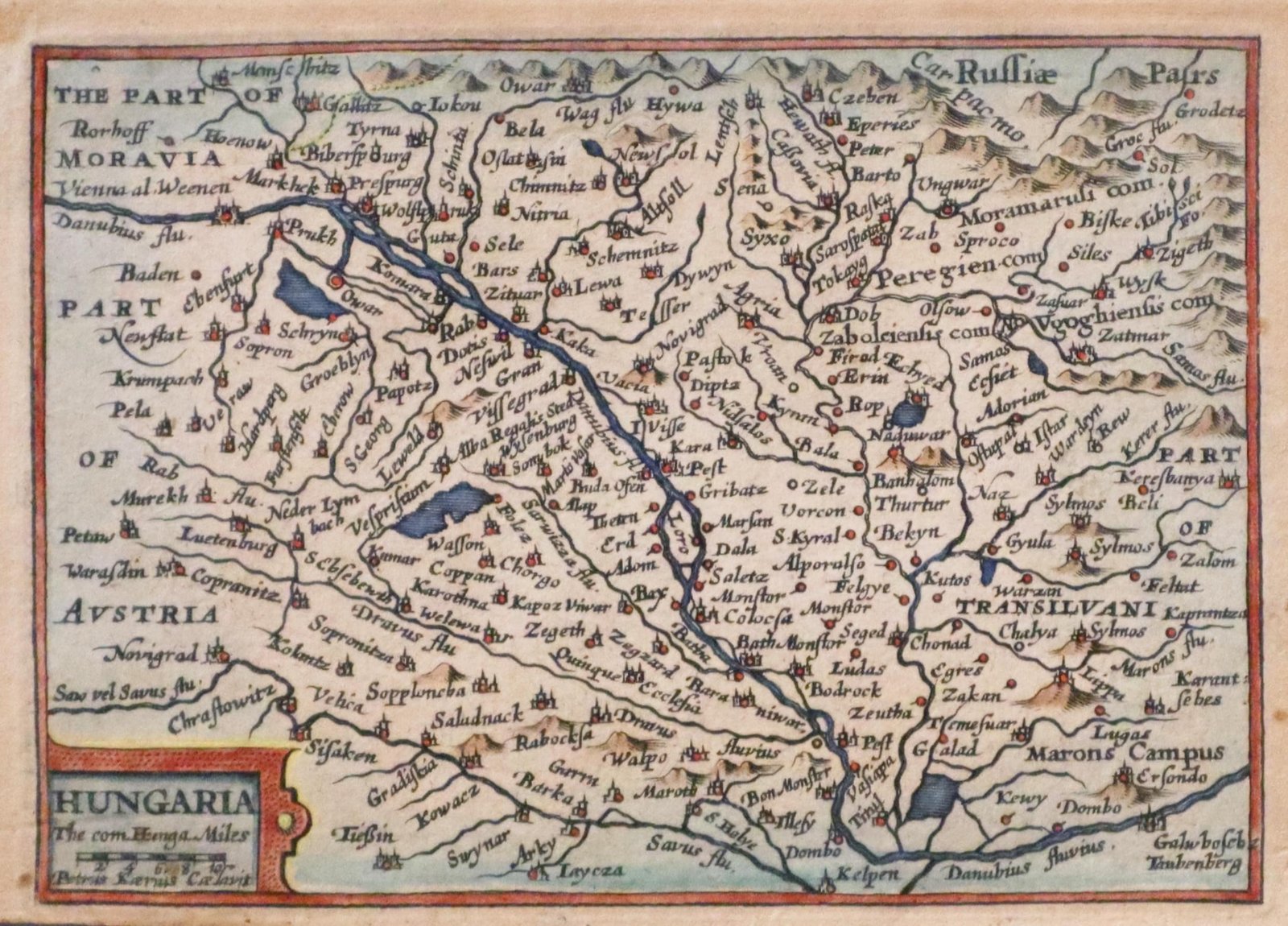
33805 Hungary, Pieter van den Keere, c.1660. Price: 48.00
HUNGARY
A miniature engraved map of the country which includes parts of Transyvania, Austria, Moravia and Russia. A cartouche displays the title and scale. 4 3/4 x 3 1/4 inches. Later hand colouring. Part of a description in English of the country on verso. Some light toning. Small traces of brown tape on verso on the edges where it has been used to put the map in a mount in the past. From: A Prospect of the Most Famous Parts of the World
RICHARD NICHOLSON
of CHESTER
Stoneydale
Pepper Street
Christleton
Chester
CH3 7AG
Telephone
01244 336004
International 44 1244 336004

I have been buying and selling antique maps since the early 1960's during which time I had a gallery in Watergate Street, Chester for 30 years. I am now able to offer through my websites a personal service to map and print collectors.