Antique Maps of Worcestershire
Richard Nicholson of Chester
A World of Antique Maps and Prints
Established in 1961
All the Maps on this page are guaranteed to be genuine early specimens
published in or around the year stated
19th Century - Early Hand Colouring
-

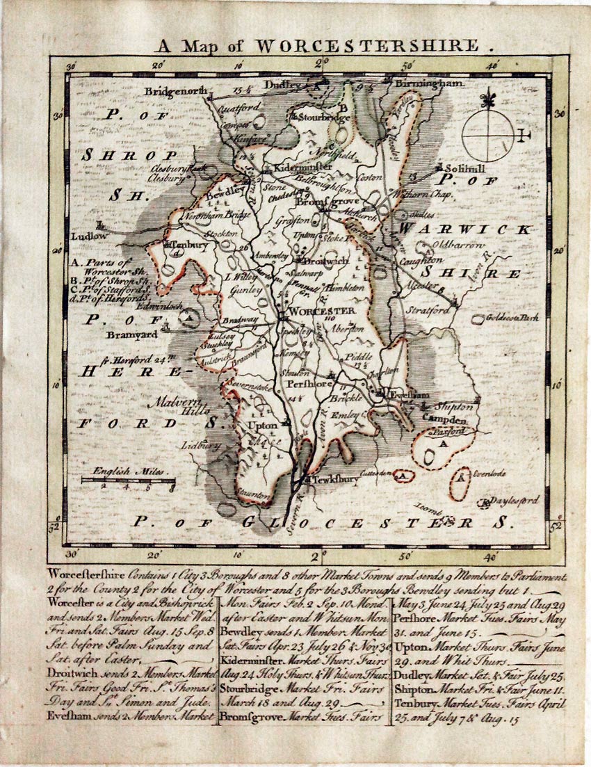
Worcestershire T. Kitchin & T. Jefferys, 1749

14262 Worcestershire T. Kitchin & T. Jefferys, 1749. Price: 49.00
A MAP OF WORCESTERSHIRE
A small engraved map of the county with scale and compass pointer. Beneath the map is a description and list of towns with their market and fair days. 5.25 x 5.25 inches, 133 x 131 mm. Original outline hand colouring. Good condition.
From: The Small English Atlas
19th Century - Early Hand Colouring
-

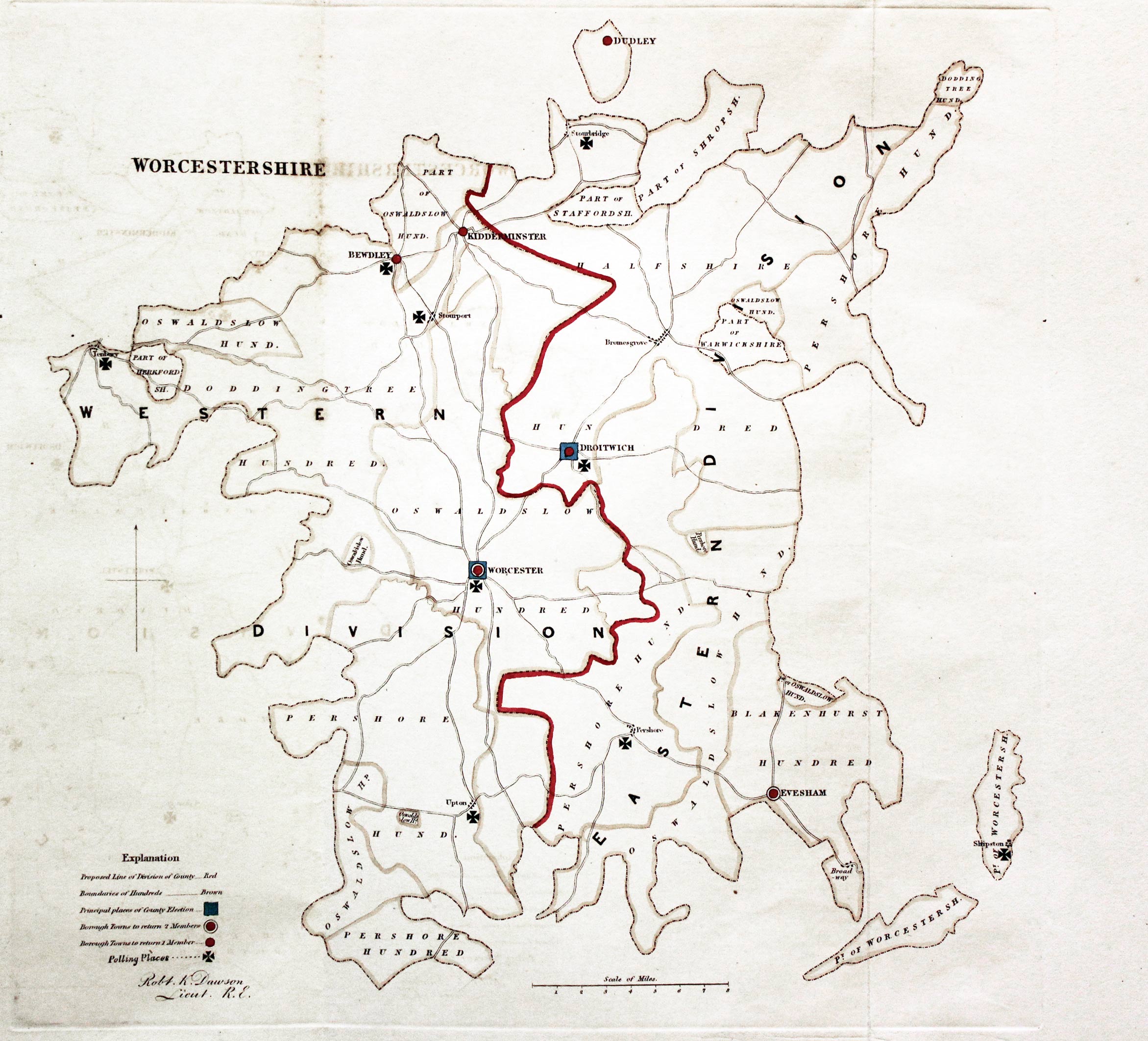
Worcestershire, Lt. Robert K. Dawson, c.1832

27262 Worcestershire, Lt. Robert K. Dawson, c.1832. Price: 28.00
WORCESTERSHIRE
A simple map of the county showing the Polling Places. About 11 x 11 1/2 inches. Early outline hand colouring. Good clean condition.
From: Plans of the Cities and Boroughs of England and Wales
18th Century - County and Roads
-

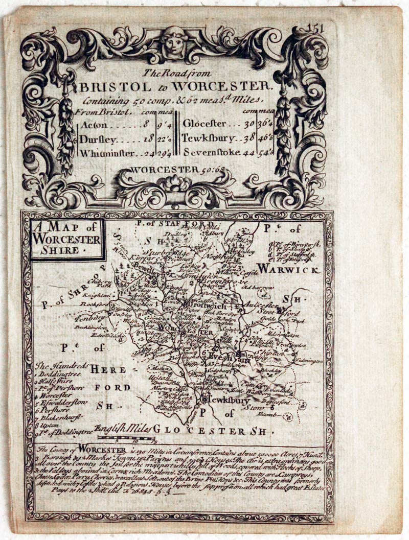
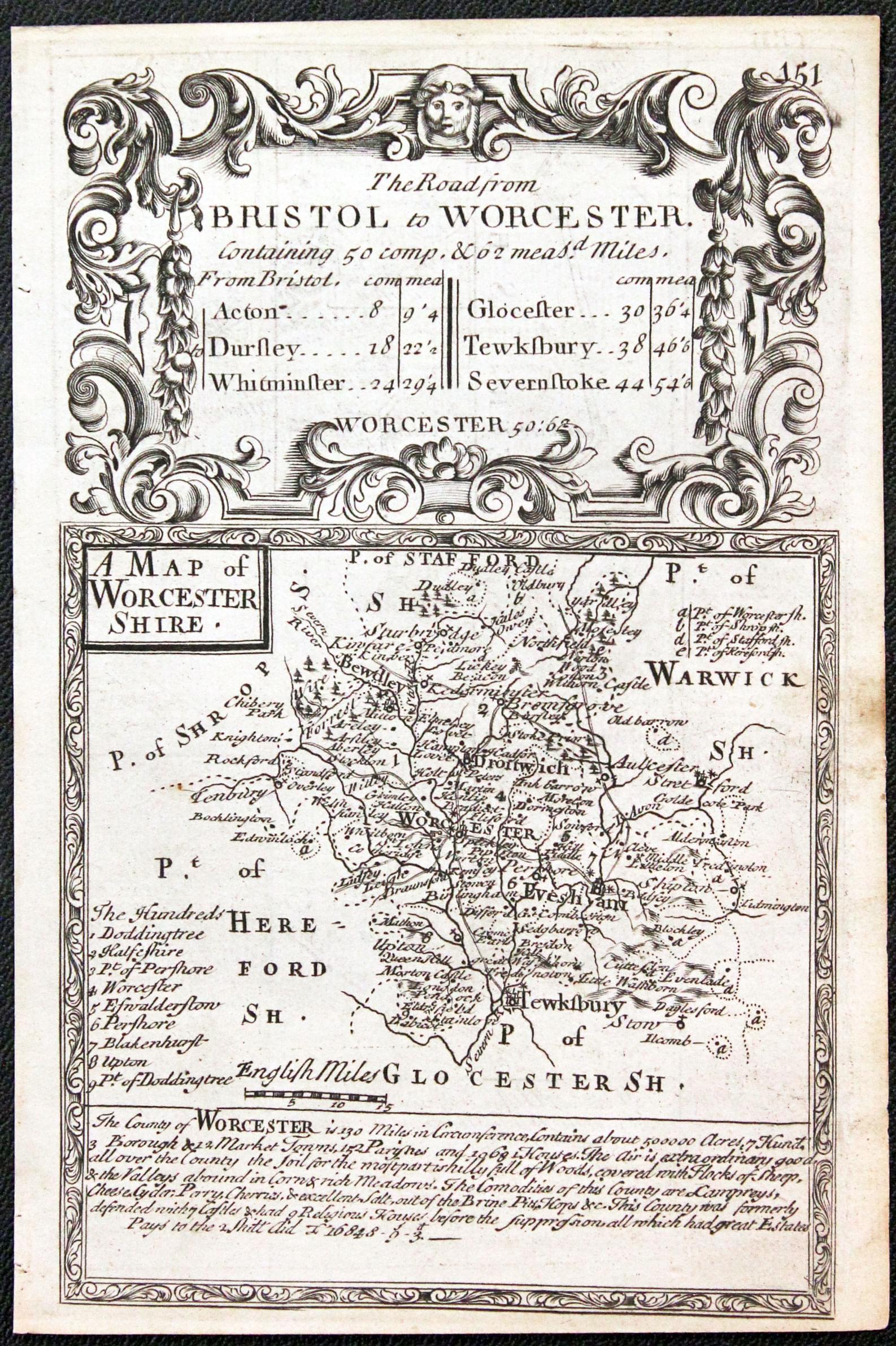
Worcestershire, John Owen / Emanuel Bowen, c.1730

27413 Worcestershire, John Owen / Emanuel Bowen, c.1730. Price: 28.00
A MAP OF WORCESTERSHIRE
An engraved county map with description, surmounted by a decorative cartouche titled The Road from Bristol to Worcester. Strip road map on verso from Bristol towards Gloucester embellished with coat of arms and notes. 4 1/2 x 7 1/4inches. Uncoloured. Small nick out of the top left hand corner of the blank margin, otherwise good condition.
From: Britannia Depicta
19th Century Town Plan - Early Hand Colouring
-

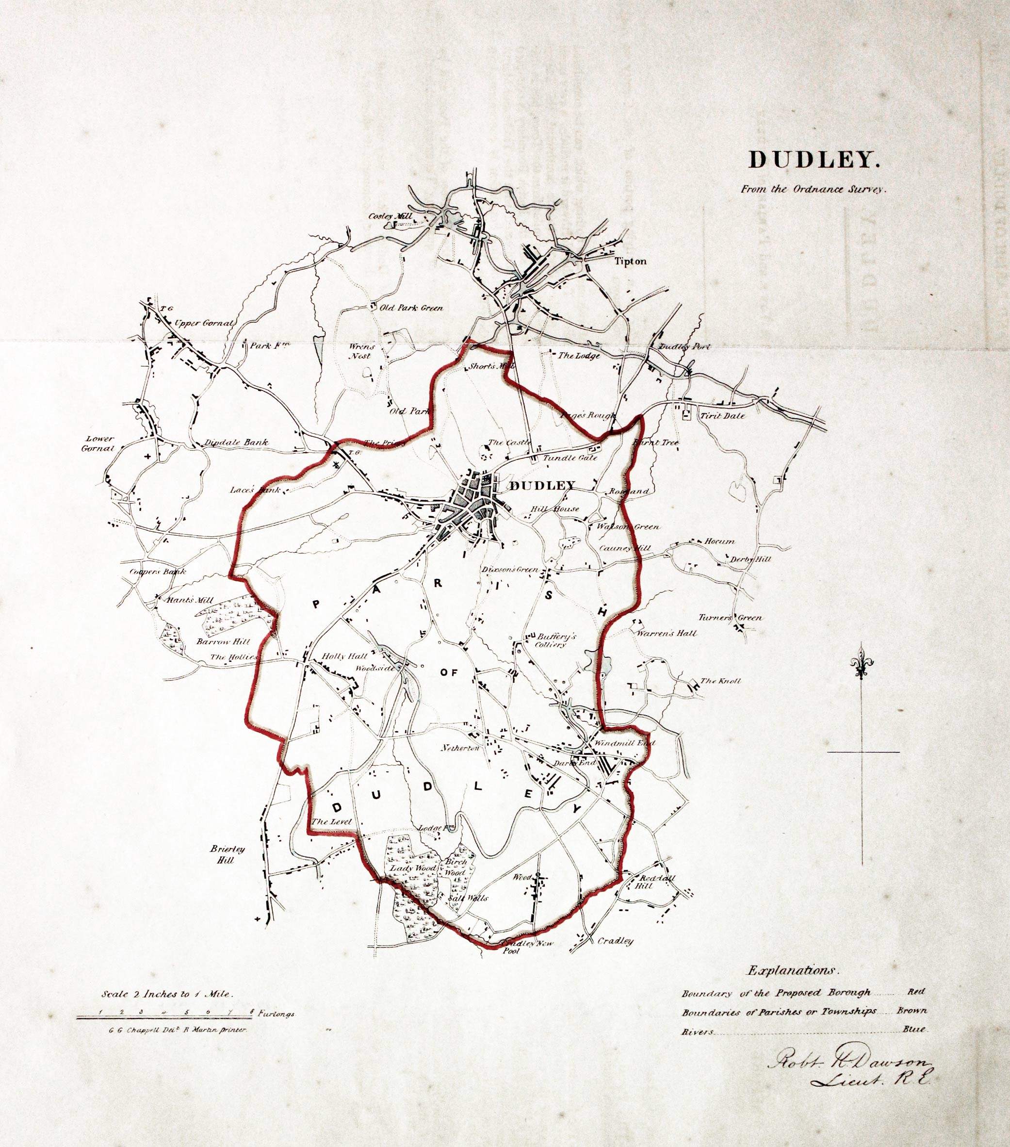
Dudley, Lt. Robert Dawson, c.1832

27422 Dudley, Lt. Robert Dawson, c.1832. Price: 32.00
DUDLEY. FROM THE ORDNANACE SURVEY
A lithograph map of Dudley and environs on a scale of 2 inches to the mile. Compass pointer and explanation. About 10 x 11 inches. Original outline hand colouring. Good condition.
From: Plans of the Cities and Boroughs of England and Wales
19th Century
-

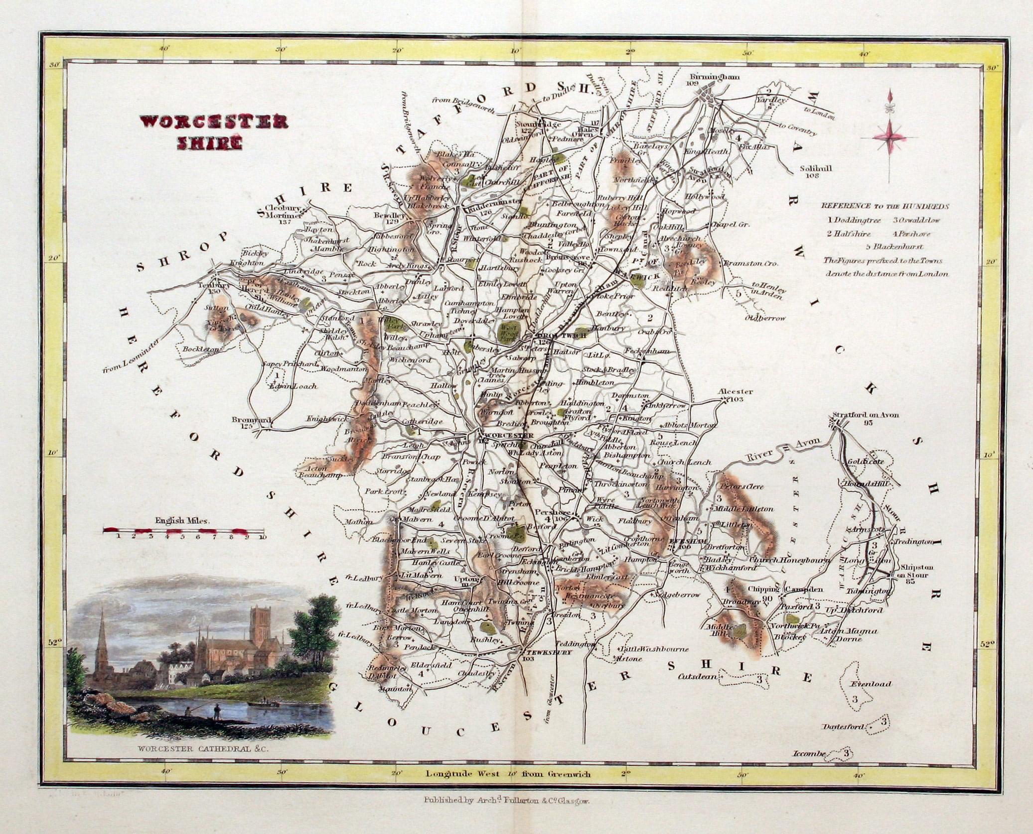
Worcestershire, Archibald Fullarton, 1843

28282 Worcestershire, Archibald Fullarton, 1843. Price: 24.00
WORCESTERSHIRE
A detailed engraved county map embellished with a vignette view of the river and Worcester Cathedral. 9 1/2 x 7 1/2 inches. Hand coloured. Good clean condition.
From: The Parliamentary Gazetteer
19th Century
-

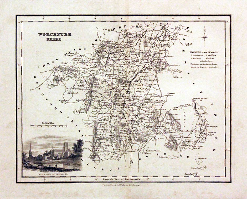
Worcestershire, Archibald Fullarton, c.1843

29683 Worcestershire, Archibald Fullarton, c.1843. Price: 24.00
WORCESTERSHIRE
A detailed engraved county map embellished with a vignette view of the river and Worcester Cathedral. 9 1/2 x 7 1/2 inches. Uncoloured. Very lightly toned.
From: The Parliamentary Gazetteer
19th Century - Decorative
-

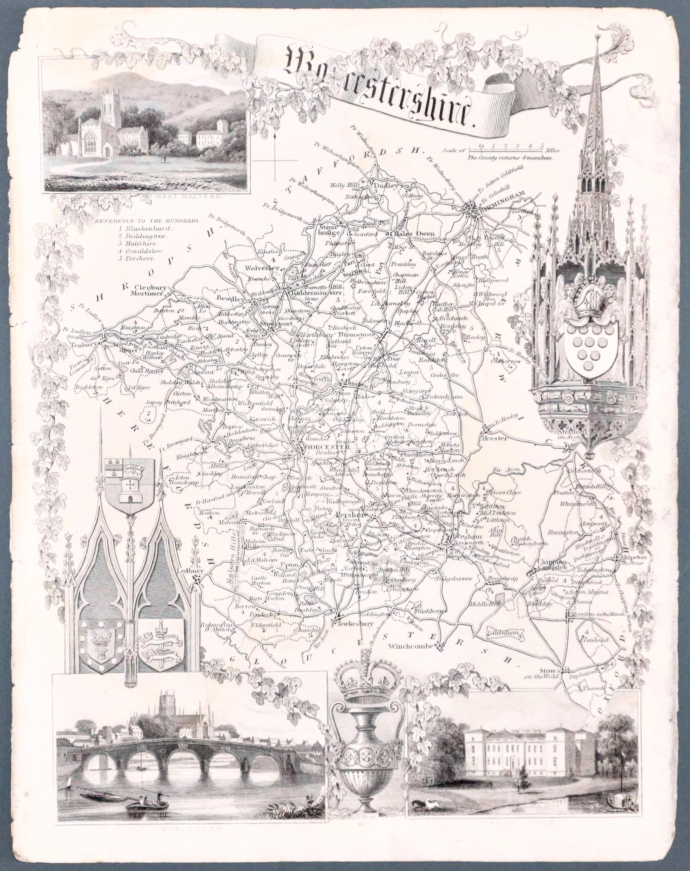
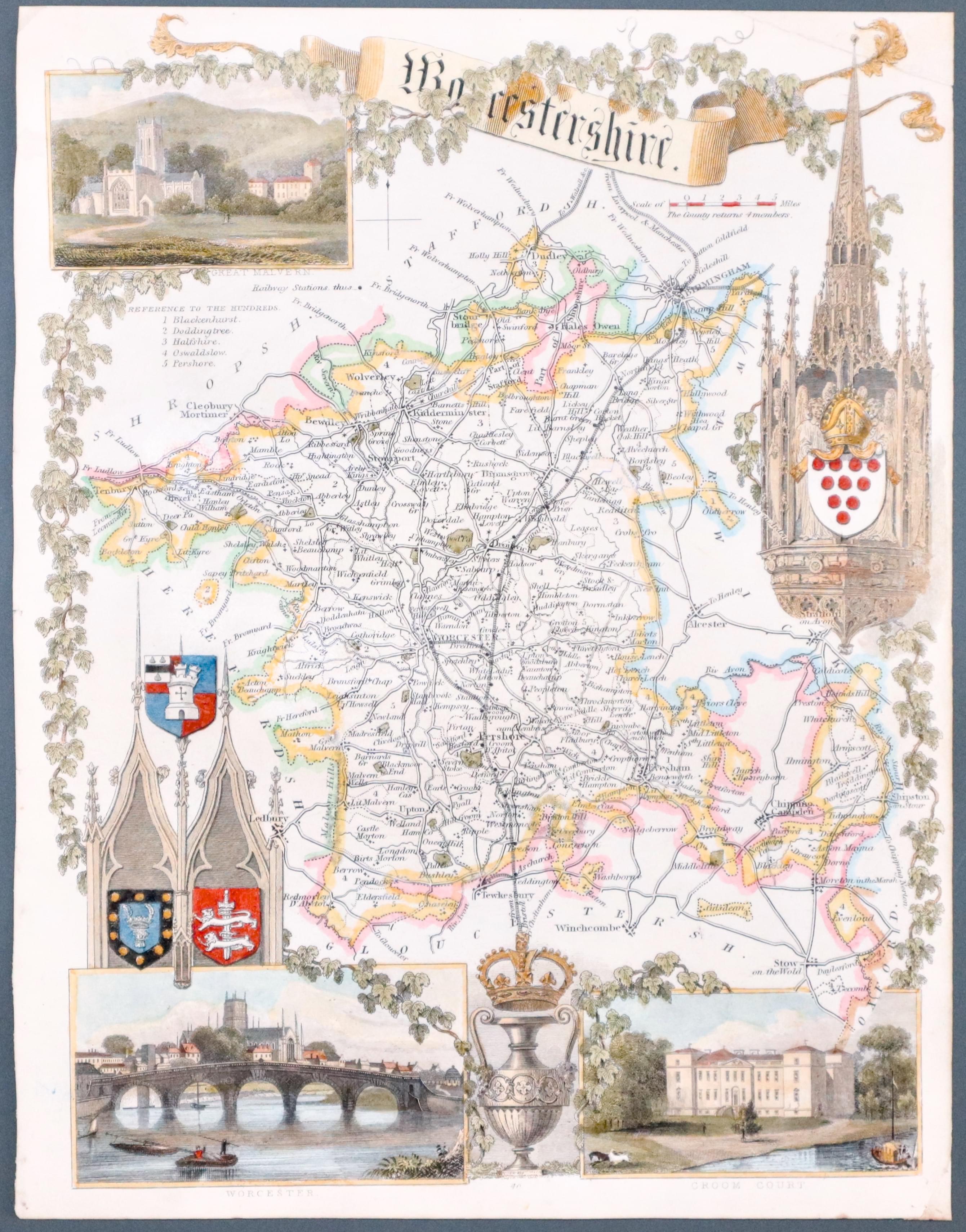
Worcestershire, Thomas Moule c.1850
29319 Worcestershire, Thomas Moule c.1850. Price: 26.00
WORCESTERSHIRE
A decorative Victorian county map embellished with three views of Great Malvern, Worcester and Croom Court, gothic architecture and four coats of arms. 7 3/4 x 101/4 inches. Uncoloured. Lightly soiled. Few nicks round the edges but good margins.
From: Barclay's Dictionary
19th Century
-

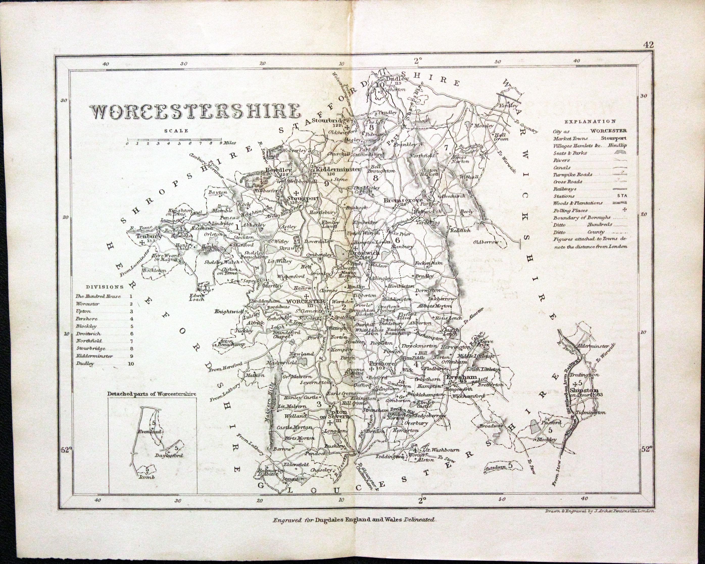
Worcestershire, Joshua Archer, c.1845

30362 Worcestershire, Joshua Archer, c.1845. Price: 17.00
WORCESTERSHIRE
A detailed engraved map with explanation and list of divisions. 9 x 7 inches. Uncoloured. Good condition.
From: Dugdale’s England and Wales Delineated
Early 19th Century - Original Hand Colouring
-

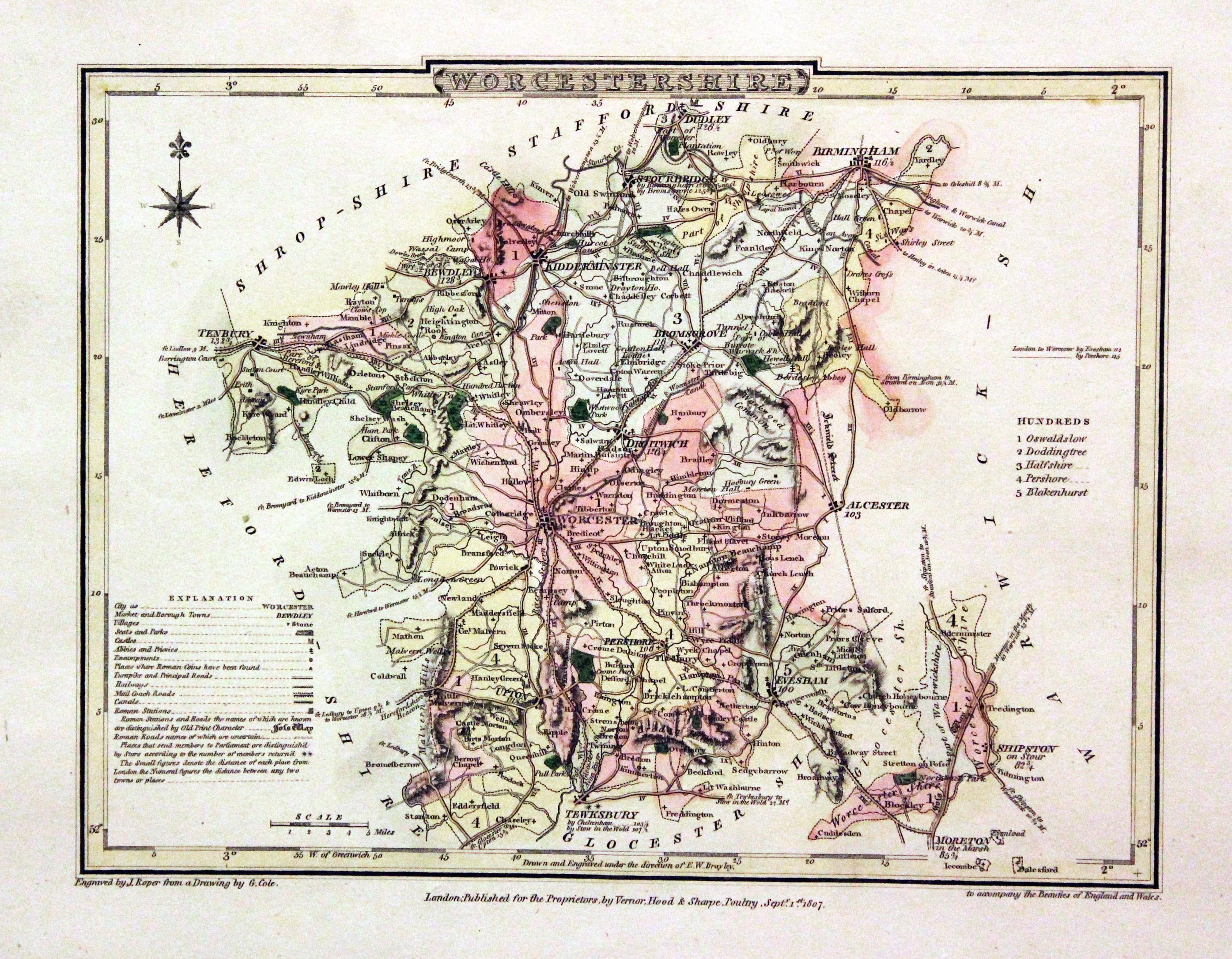
Worcestershire, George Cole and John Roper, 1810
30539 Worcestershire, George Cole and John Roper, 1810. Price: 35.00
WORCESTERSHIRE
A good detailed engraved map of the county divided into hundreds. Bears the publishers imprint dated of 1807. Explanation. 8 3/4 x 6 3/4 inches. Original wash and outline hand colouring. Good condition. Straight from the atlas and not sold as a single map before. With original page of descriptive text.
From: The British Atlas
18th Century - County and Roads
-

Worcestershire, John Owen / Emanuel Bowen, c.1730

30644 Worcestershire, John Owen / Emanuel Bowen, c.1730. Price: 28.00
A MAP OF WORCESTERSHIRE
An engraved county map with description, surmounted by a decorative cartouche titled The Road from Bristol to Worcester. Strip road map on verso from Bristol towards Gloucester embellished with coat of arms and notes. 4 1/2 x 7 1/4inches. Uncoloured. Bottom blank margin narrows down to the bottom right hand corner otherwise good condition.
From Britannia Depicta
18th Century - Interesting Provenance
-

Worcestershire, John Cary 1793

30889 Worcestershire, John Cary 1793. Price: 39.00
WORCESTERSHIRE
A well engraved detailed map of the county. Imprint of John Cary and dated 1793. 8 1/4 x 10 1/2 inches, 210 x 260 mm. Original outline hand colouring. Some of the town names are underlined in red. Good condition. With original page of descriptive text.
From: Cary's New and Correct English Atlas
Provenance: John Hobson Matthews
The places underlined in red ink are those in which a Catholic mission has been established between the era of the Reformation and the year 1840
John Hobson Matthews (1858 - 1914) Born in Croydon in 1858. Educated at schools at Blackheath and Cambridge. Worked for a shipping firm in Malta. A good linguist he was a Roman Catholic historian, archivist and solicitor. You will find more details about him here in the Dictionary of Welsh Biography.
For the Collector
-

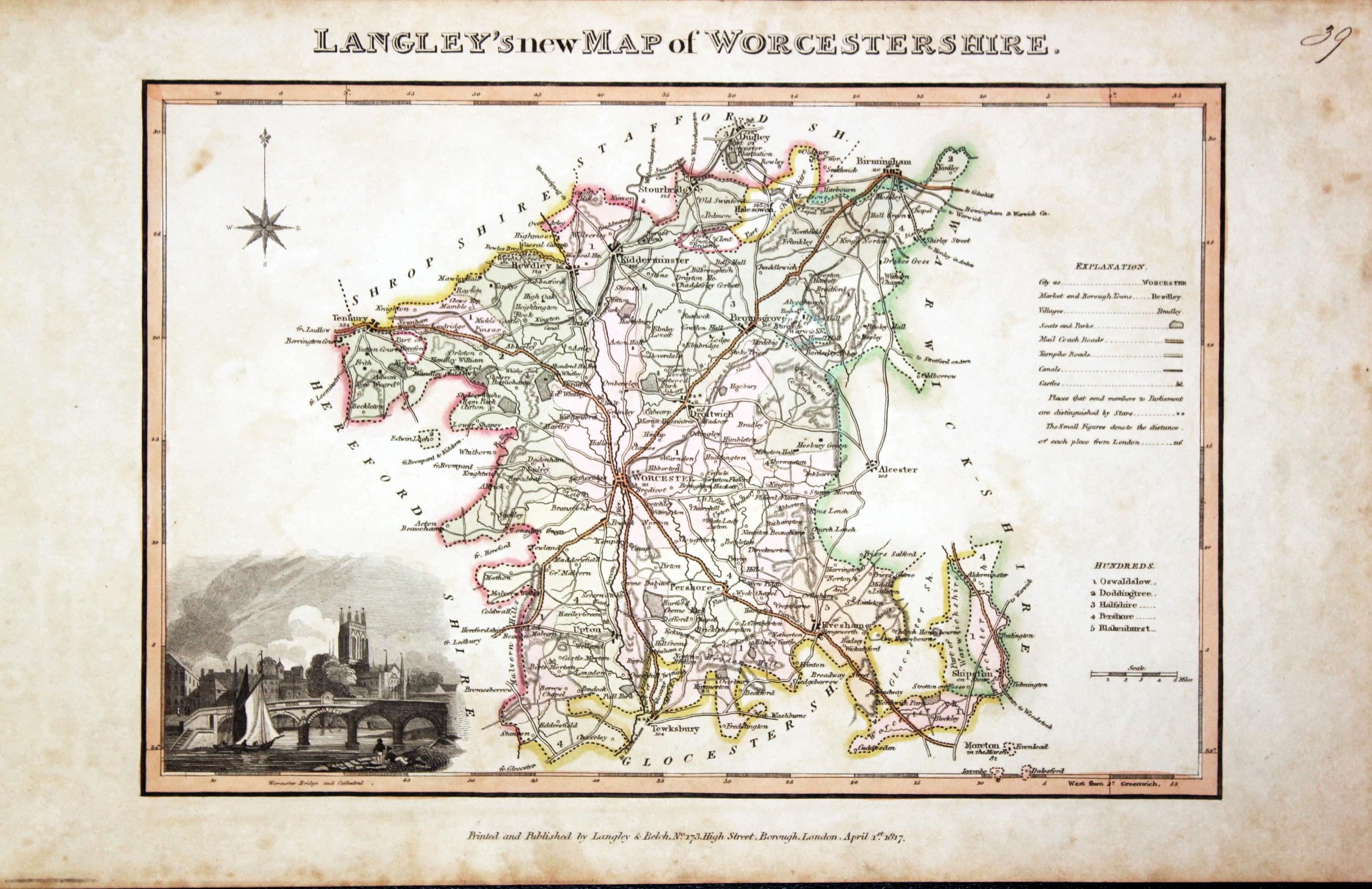
Worcestershire, Edward Langley and William Belch, 1820

30944 Worcestershire, Edward Langley and William Belch, 1820. Price: 59.00
LANGLEY’S NEW MAP OF WORCESTERSHIRE
An engraved map of the county. In the bottom right hand corner is a vignette view of Worcester Bridge and Cathedral. The title appears above the map. Beneath the map is the publishers imprint Printed and Published by Langley & Belch, No. 173 High Street, Borough, London, April 1st, 1817. 10 x 6 3/4 inches. Manuscript number 39 in the top right hand corner. Original outline and wash hand colouring. A little light toning and some speckled foxing in the blank margins. No tears or repairs.
From: Langley’s New County Atlas of England and Wales
Victorian - Fox Hunting
-

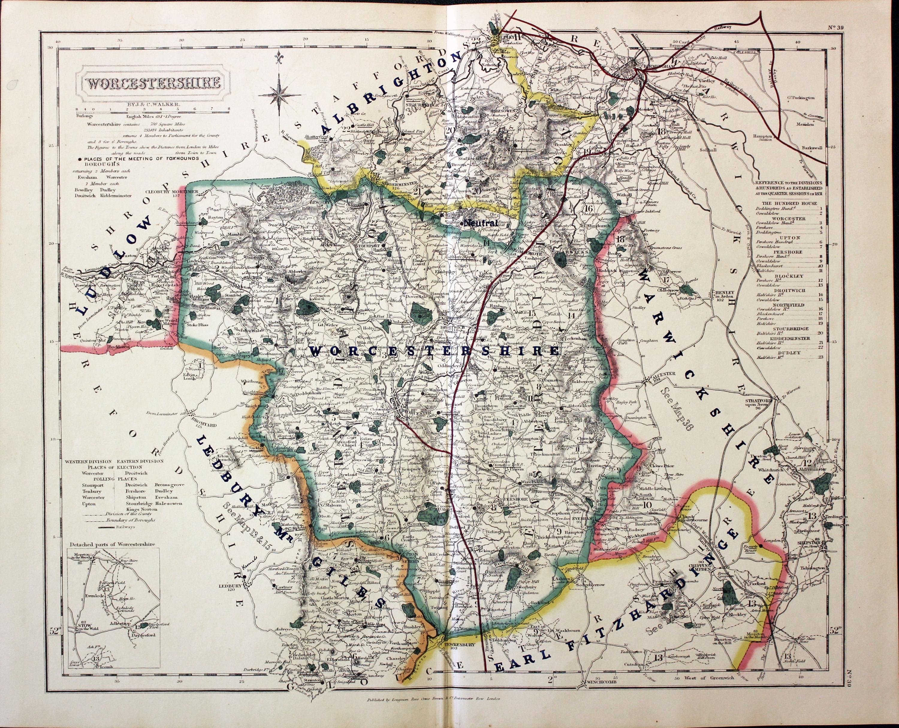
Worcestershire - Fox Hunting, John and Charles Walker, 1851

31068 Worcestershire - Fox Hunting, John and Charles Walker, 1851. Price: 46.00
WORCESTERSHIRE
A good detailed lithograph map of the county from Hobson's Fox Hunting Atlas showing the places of the Meeting of the Hounds. 15 1/2 x 12 1/2 inches. Published by Longman, Rees, Orme, Brown and Co. Paternoster Row, London. Original outline hand colouring. Fine condition. Straight from the atlas so has not been sold as a single map before.
Shows Albrighton, Ludlow, Worcestershire, Ledbuty, Mr.Giles and Earl Fitzharding Hunts
Provenance: George Hayhurst - Royal Fusiliers and Henry H. France
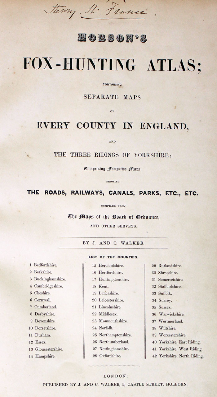
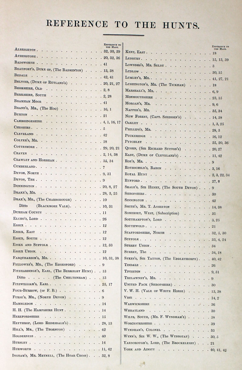
TITLE PAGE AND LIST OF HUNTS
-
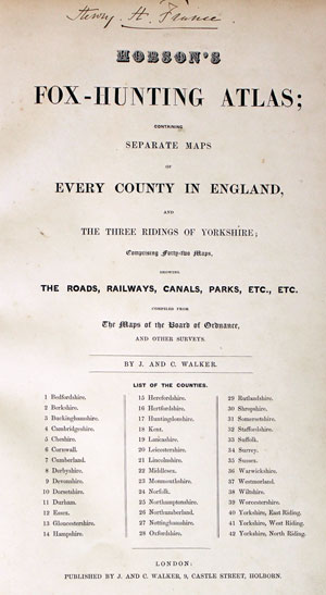
Hobson Fox Hunting Atlas Titlepage
-
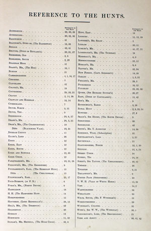
Hobsons Fox Hunting Atlas List of Hunts
For the Collector
-

Worcestershire Text, Reuben Ramble 1844
-

Worcestershire Text, Reuben Ramble 1844
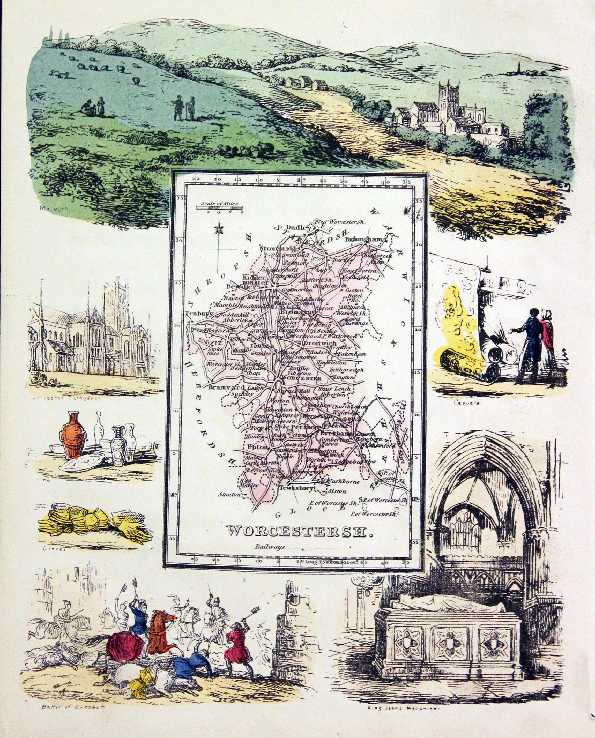
31393 Worcestershire, Reuben Ramble, c1845. Price: 65.00
WORCESTERSHIRE
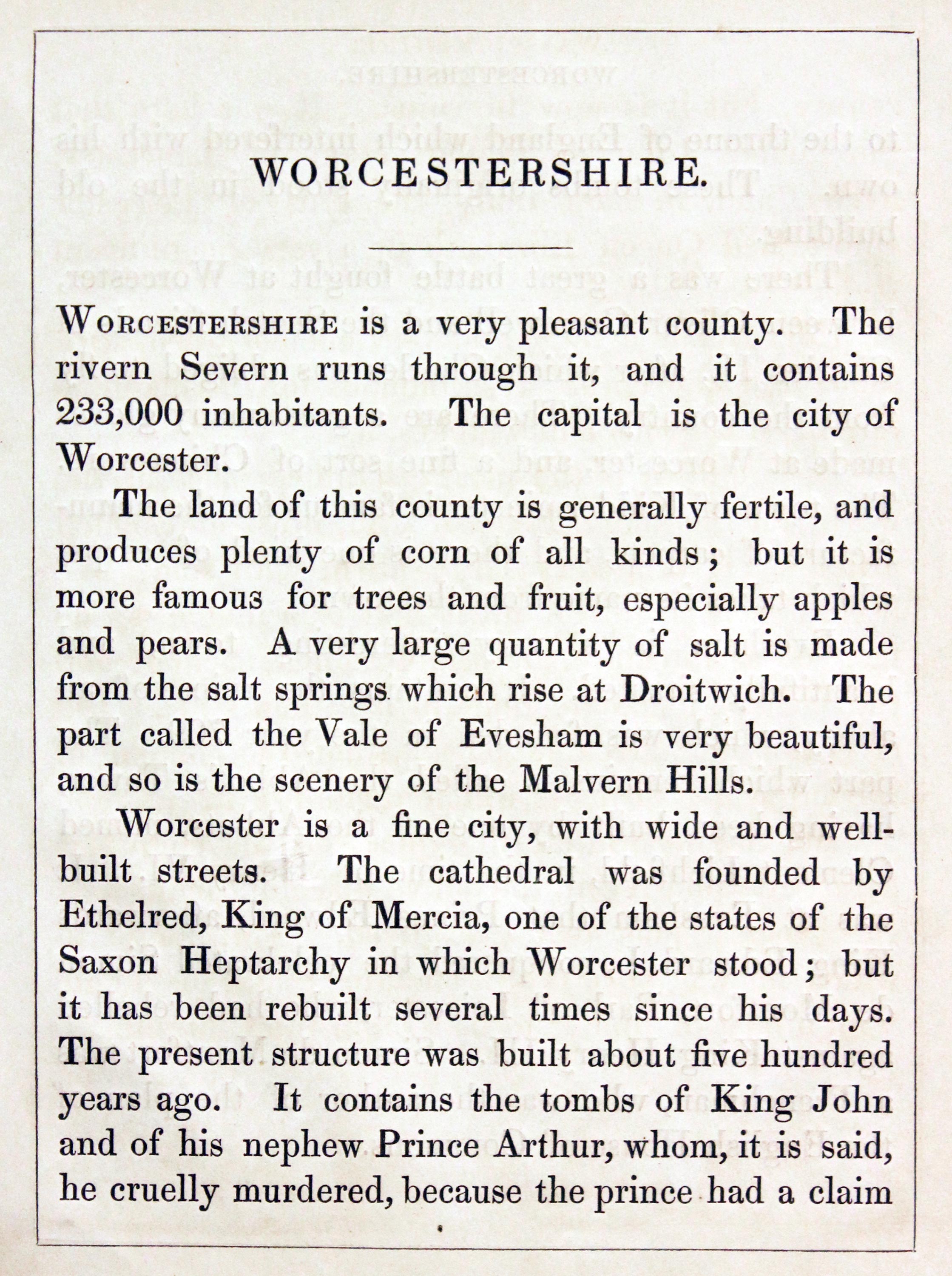
An uncommon lithograph miniature map of the county surrounded by a wide border of vignette views of local scenes including Malvern, Worcester Cathedral, Battle of Evesham and Carpets. The maps first appeared in Miller’s New Miniature Atlas published in 1810. The decorative views were added and the maps republished by Darton & Clark in “Reuben Ramble’s Travels Through the Counties of England” in 1844. 5 3/4 x 7 1/4 inches. This is the size of overall area and not the contained map. Original hand colouring. With this map is the original double sided page of text describing the county.
19th Century - Early Hand Colouring
-

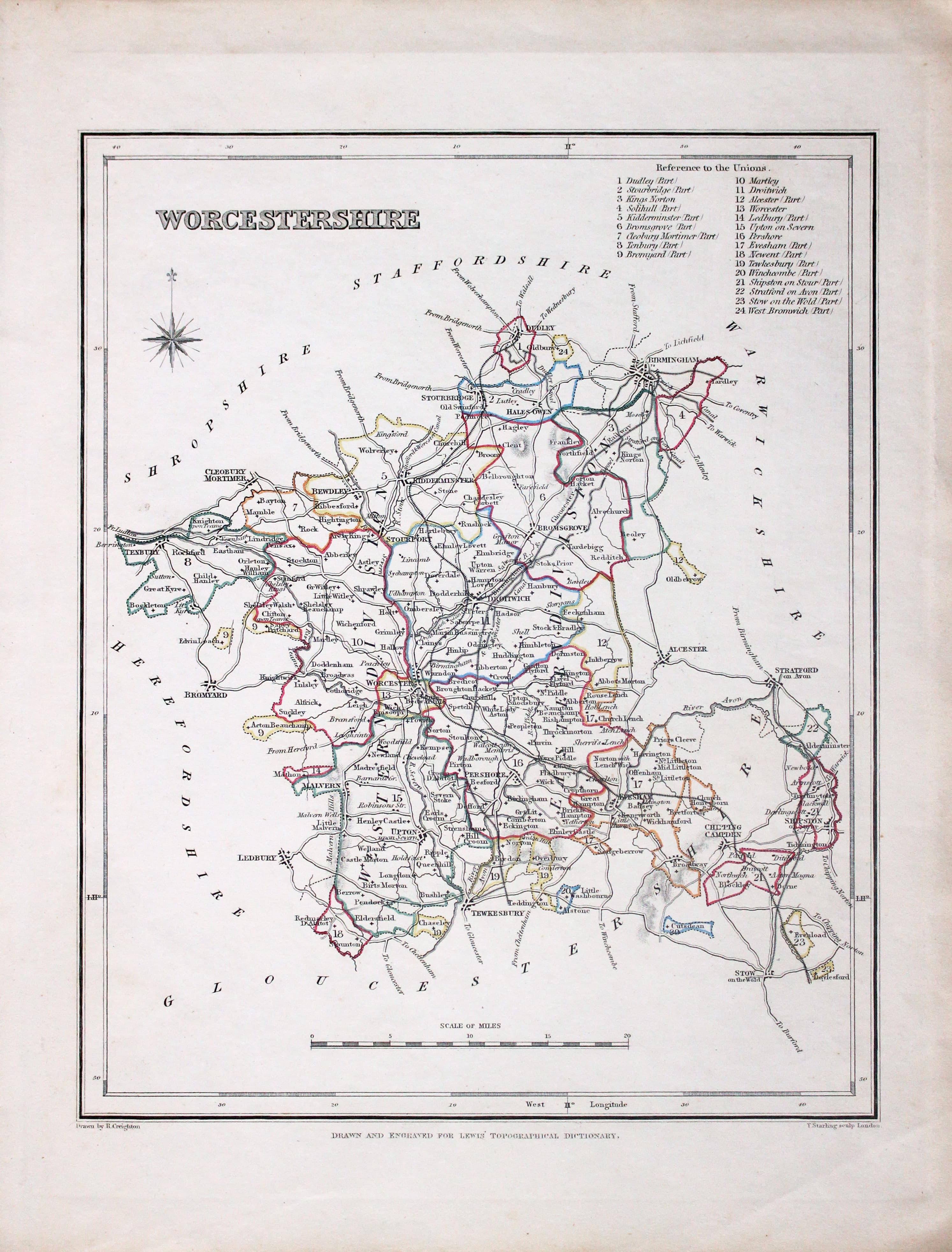
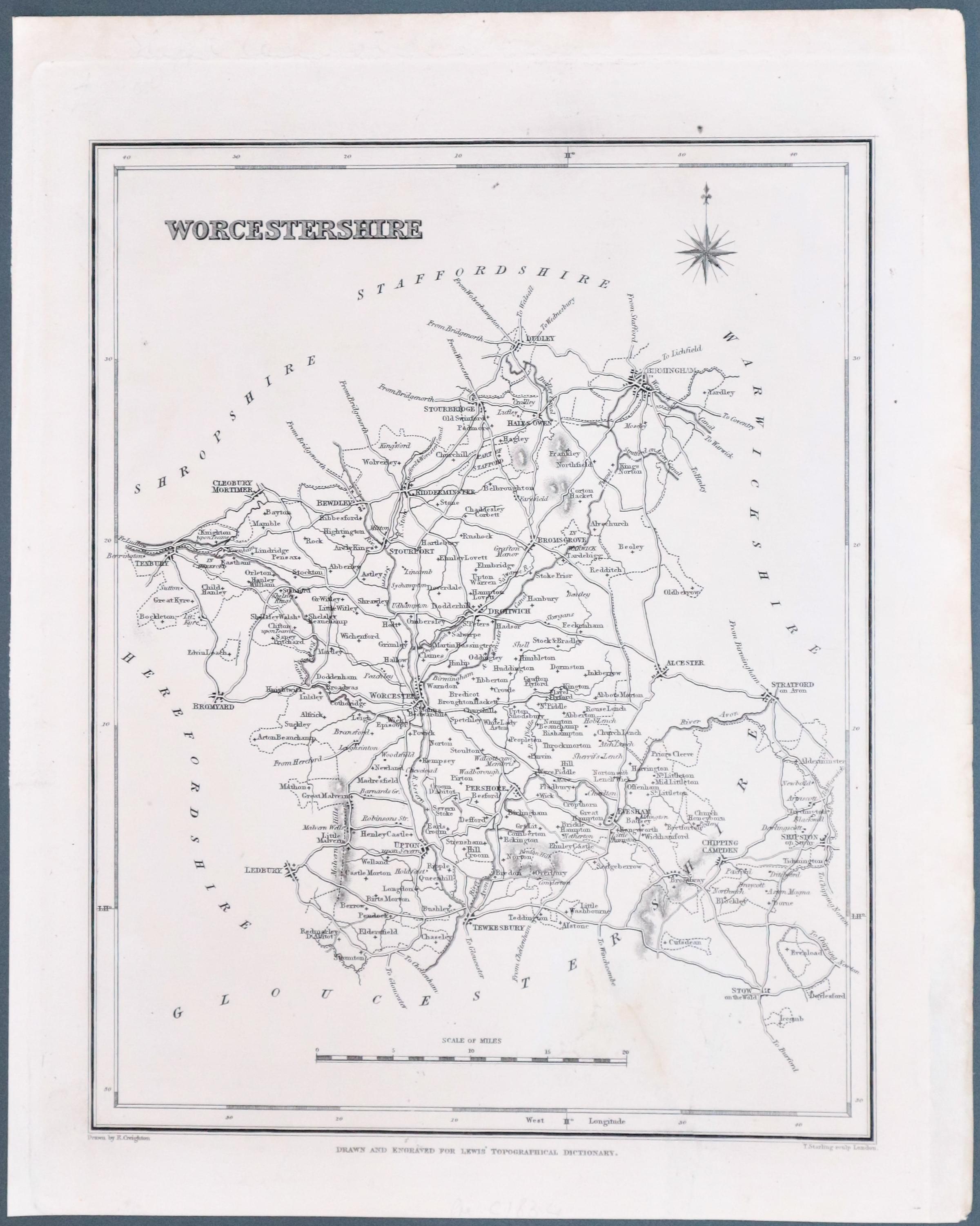
Worcestershire, Samuel Lewis 1845

31624 Worcestershire, Samuel Lewis, 1845. Price: 20.00
WORCESTERSHIRE
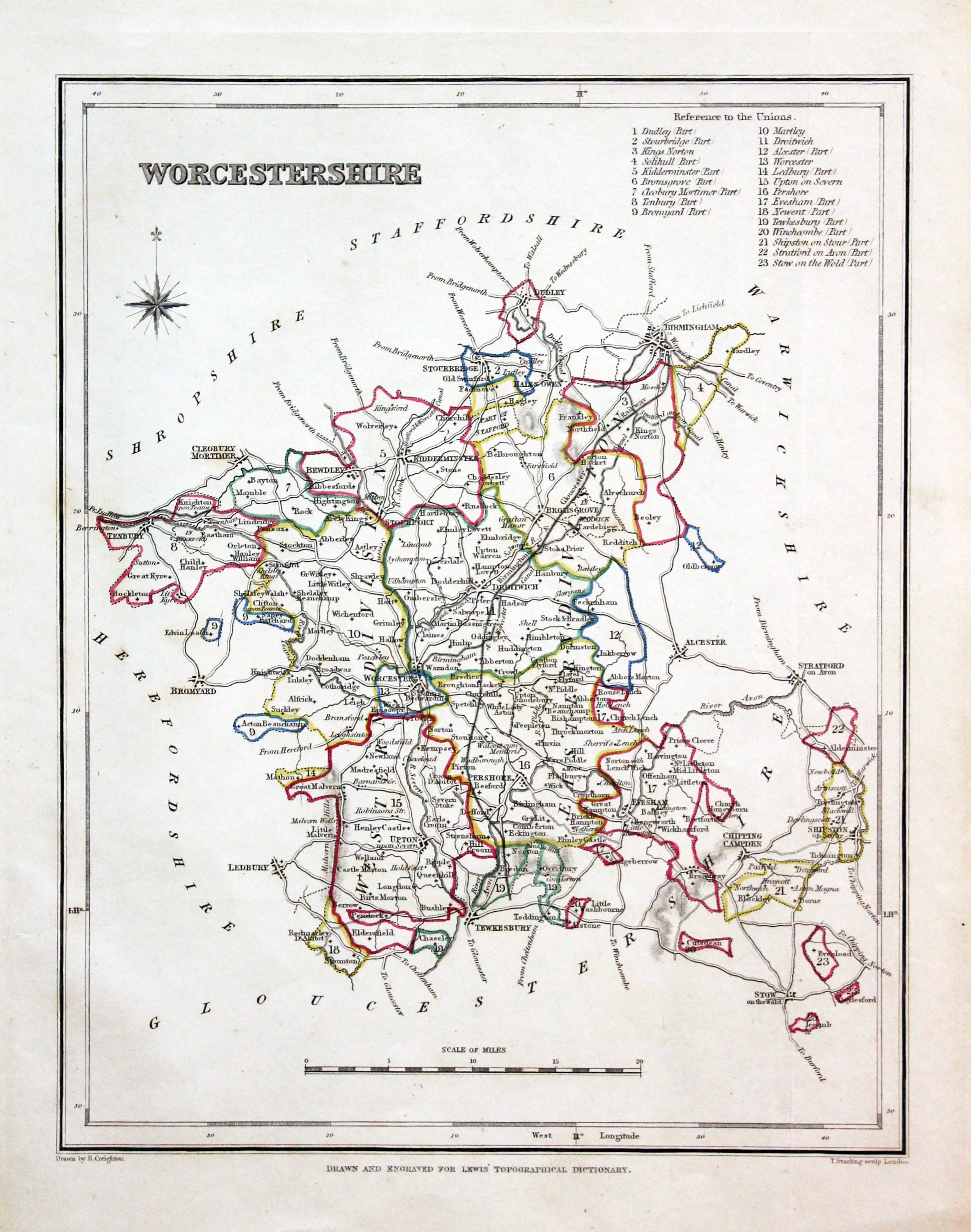
A county map drawn by R. Creighton and engraved by T. Starling. Reference to the Unions. Scale and compass rose. 6 3/4 x 8 inches. Original outline hand colouring. Good clean condition. Straight from the atlas and not sold as a single map before now.
From: Lewis' Atlas to the Topographical Dictionaries of England and Wales
18th Century - Early Hand Colouring
-
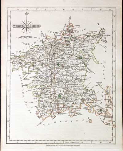
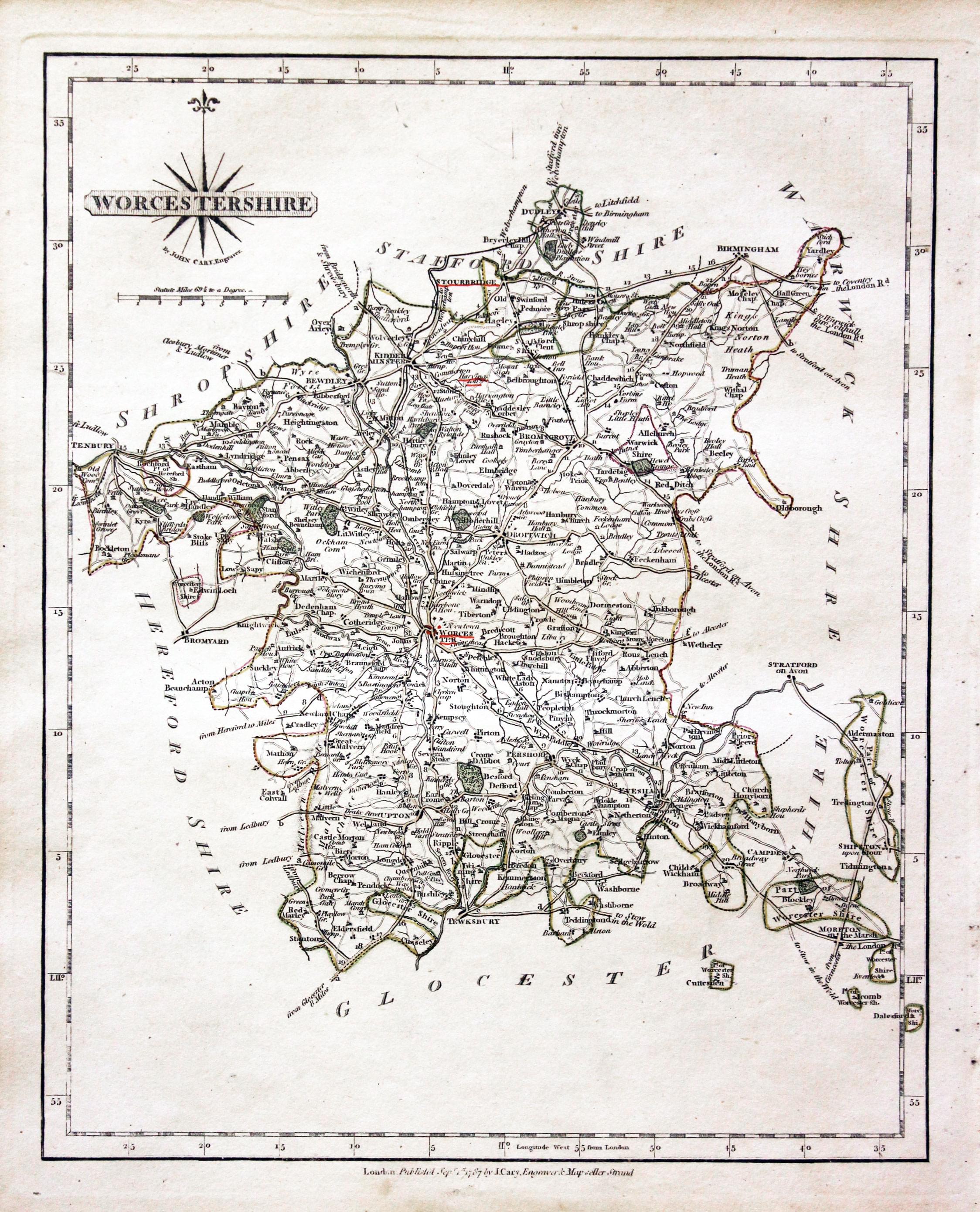
Worcestershire, John Cary, 1802

31726 Worcestershire, John Cary, 1787. Price: 42.00
WORCESTERSHIRE
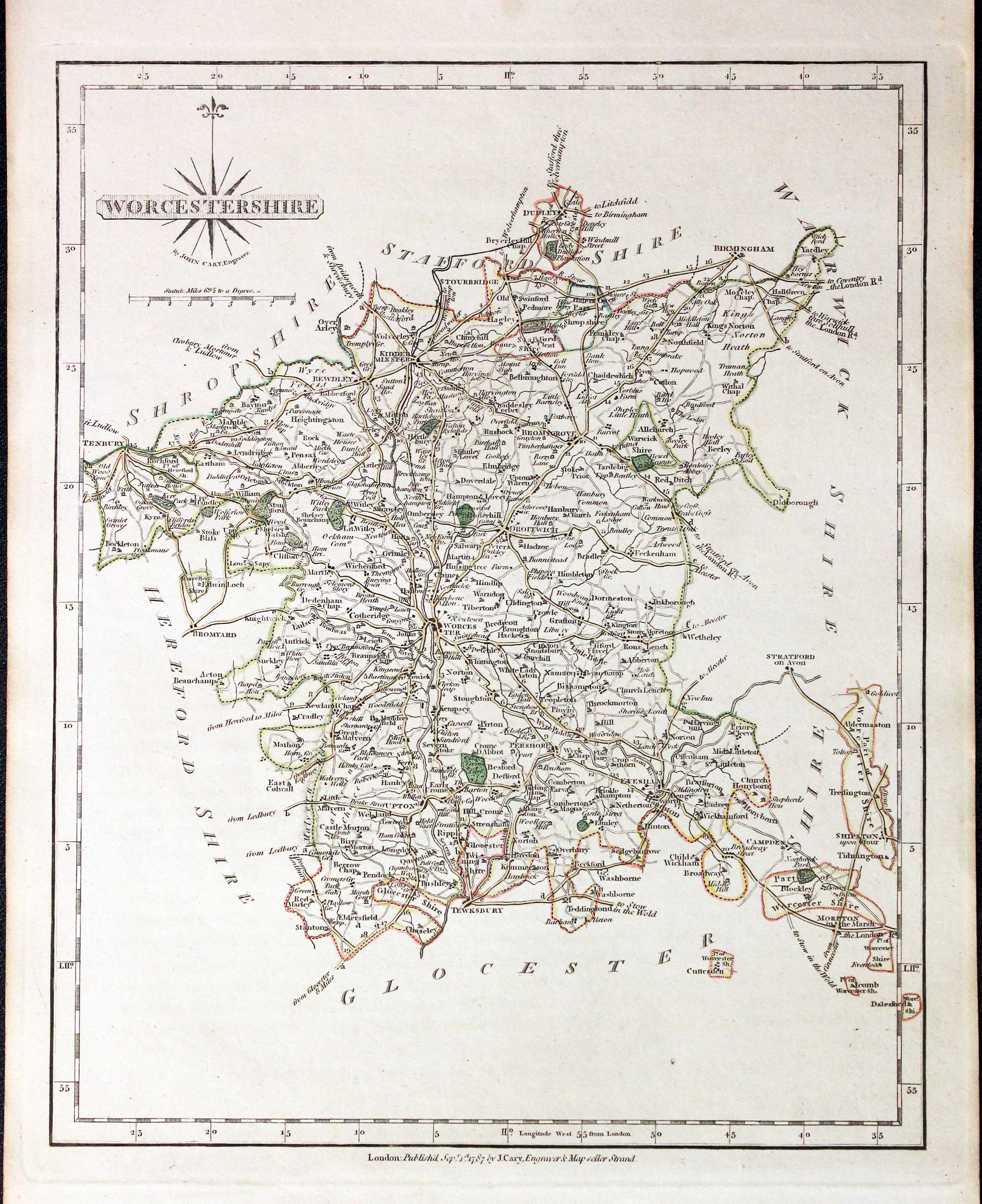
The first edition of this well engraved detailed map of the county with title panel and compass rose combined. Scale. Imprint of John Cary dated 1787. With original page of descriptive text. 8 1/4 x 10 1/4 inches. Original outline hand colouring. Good condition.
From: Cary's New and Correct English Atlas
19th Century County Town Plans
-

Dudley, Kidderminster, Evesham and Bewley by Creighton and Walker c.1840

32792 Worcestershire Towns, Creighton/Walker c.1840. Prce: 22.00
DUDEY - KIDDERMINSTER - EVESHAM - BEWDLEY
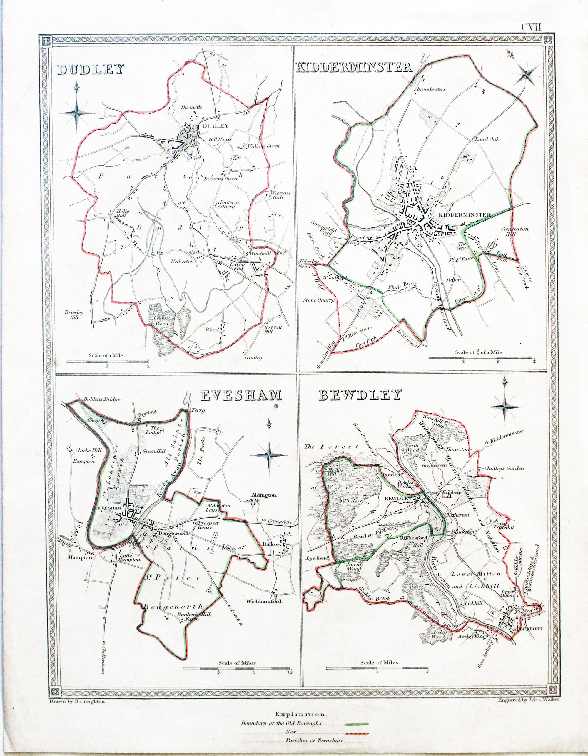
An interesting sheet showing four engraved plans and surrounding area of four Worcestercester towns. Original pink and green outline colouring which is explained in the key below as the boundarys of the Old Borough and New Borough. Scale. Patterned border. 7 1/4 x 9 1/4 inches. Good condition.
From: A Topographical Dictionary of England by Samuel Lewis
19th Century - Early Hand Colouring
-

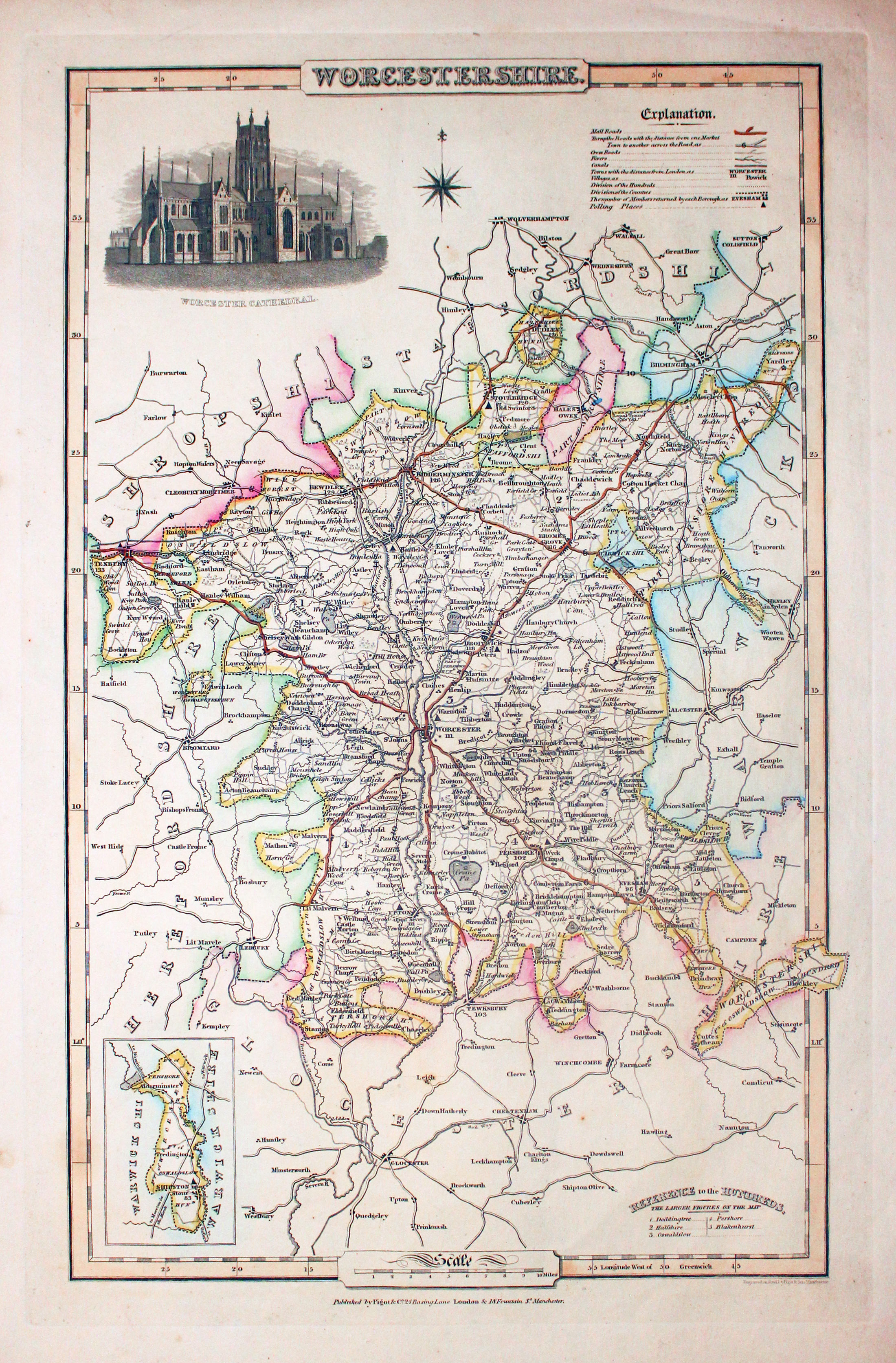
Map of Worcestershire, James Pigot c.1830

32861 Worcestershire, James Pigot, c.1830. Price: 60.00
WORCESTERSHIRE
An good engraved map of the county with title, scale, explanation and list of hundreds. Embellished with an uncoloured view of Worcester Cathedral. Imprint of the publishers Pigot & Co. 24 Basing Lane & 18 Fountains St. Manchester beneath. 8 3/4 x 14 inches. Original outline hand colouring. On stout paper. Some light soiling on verso but otherwise good undamaged condition.
From: British Atlas
19th Century - Early Hand Colouring
-

Map of Worcestershire, Samuel Lewis 1848
32994 Worcestershire, Samuel Lewis, 1848. Price: 21.00
WORCESTERSHIRE
A county map drawn by R. Creighton and engraved by T. Starling. Reference to the Unions. Scale and compass rose. 6 3/4 x 8 inches. Original outline hand colouring. Good clean condition. Straight from the atlas and not sold as a single map before now.
From Lewis' Atlas to the Topographical Dictionaries of England and Wales
19th Century
-

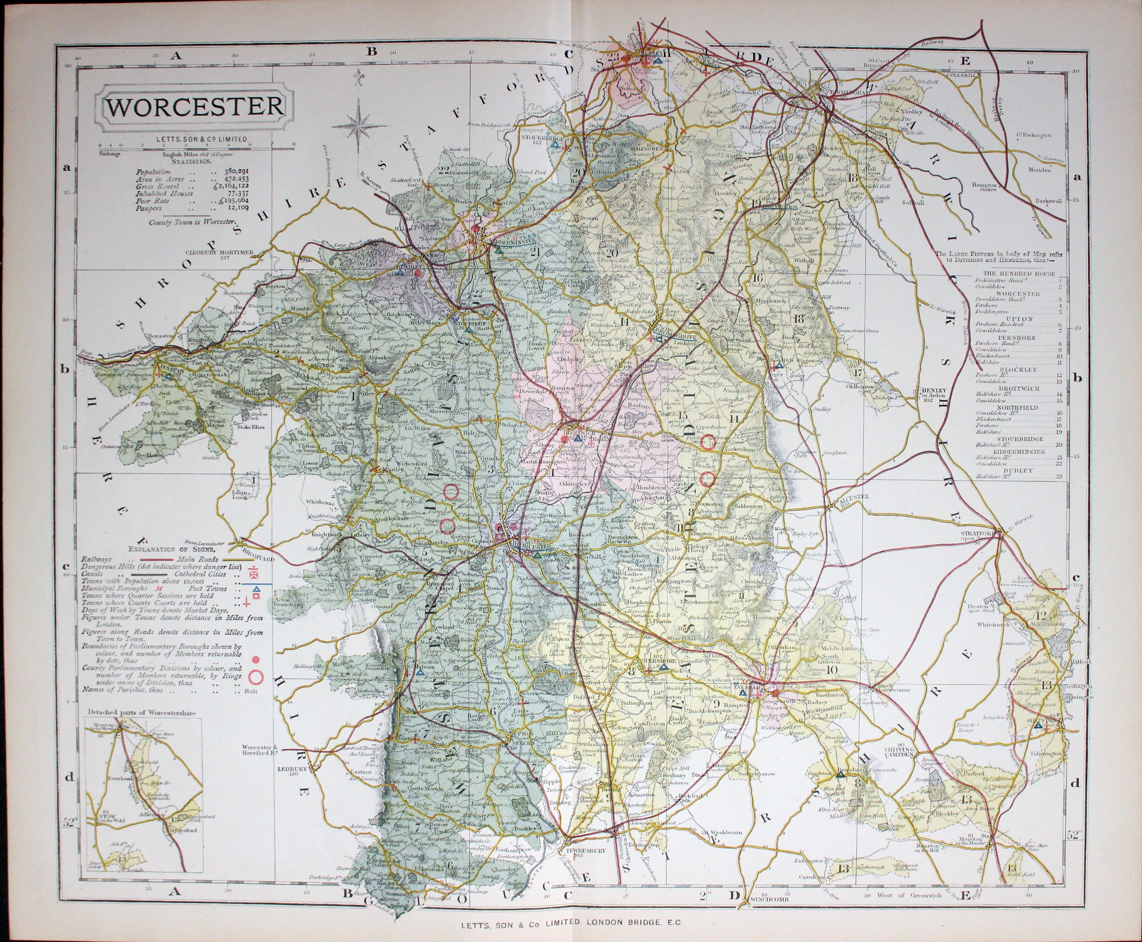
Map of Worcestershire, Thomas Letts 1884
32993 Worcestershire, Thomas Letts, 1884. Price: 25.00
WORCESTER
A detailed chromolithograph map of the county. Explanation plus statistics concerning Population, Area, Inhabited Houses, Poor Rate and Paupers. 15 1/2 x 12 3/4 inches. Original centre fold. Imprint of Letst & Son beneath. Fine clean condition. Straight from the atlas so never previously been sold as a single map.
From: Lett’s Popular County Atlas
For the Collector
-

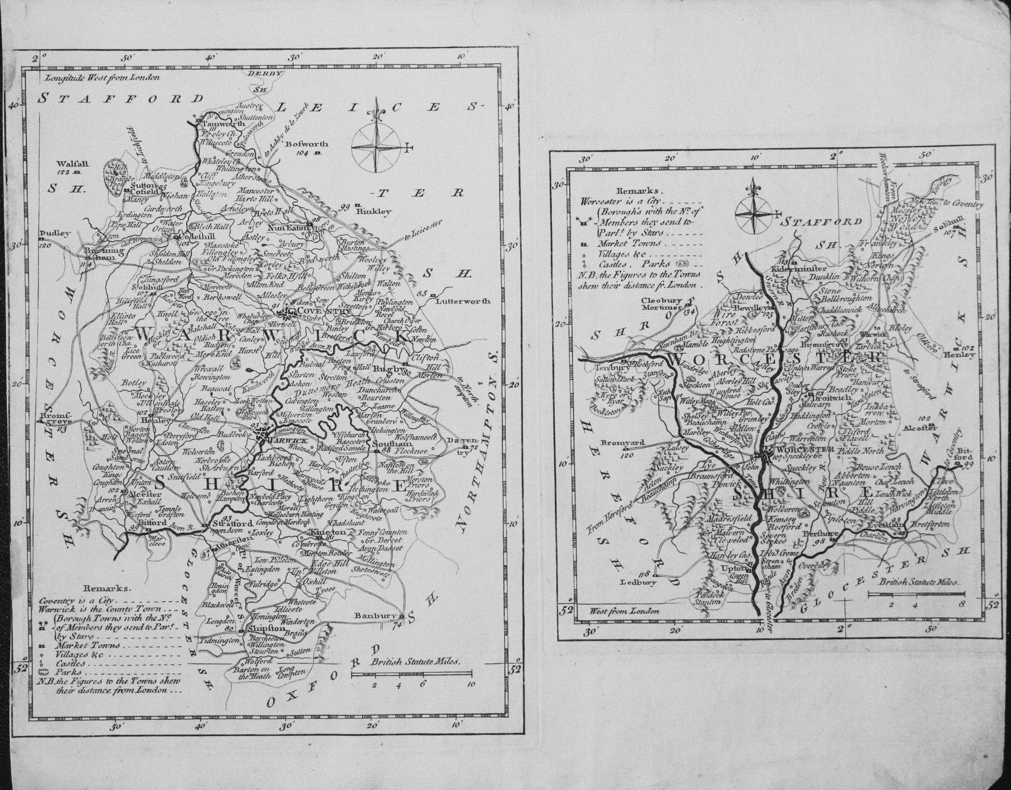
Warwickshire and Worcestershire T. Kitchin & J. Capper 1769

33039 Warwickshire and Worcestershire, Thomas Kitchin / J. Capper, 1769. Price: 62.00
WARWICKSHIRE
An untitled map of the county. 6 x 8 inches, Uncoloured. No left hand blank margin.
WORCESTERSHIRE
An untitled map of the county. 5 X 5 1/2 inches. Uncoloured. Small right hand blank margin. Some light dust soiling in the blank margins.
These two maps come from Kitchin’s Pocket Atlas of the Counties of South Britain or England and Wales published by J. Capper. The maps were engraved by Thomas Kitchin. Rare.
I think this may be the first time I have been able to offer these two county map on one sheet as they are so often split up into two maps.
This map was sold by me in my Chester shop in 1986 and now on offer again. I have marked it as a collector’s map as it rarely comes into stock. I see that I have not had another specimen of this map since I sold this specimen 31 years ago. At the time it had come from a complete copy of Kitchin’s Pocket Atlas that I was splitting
Early 19th Century
-

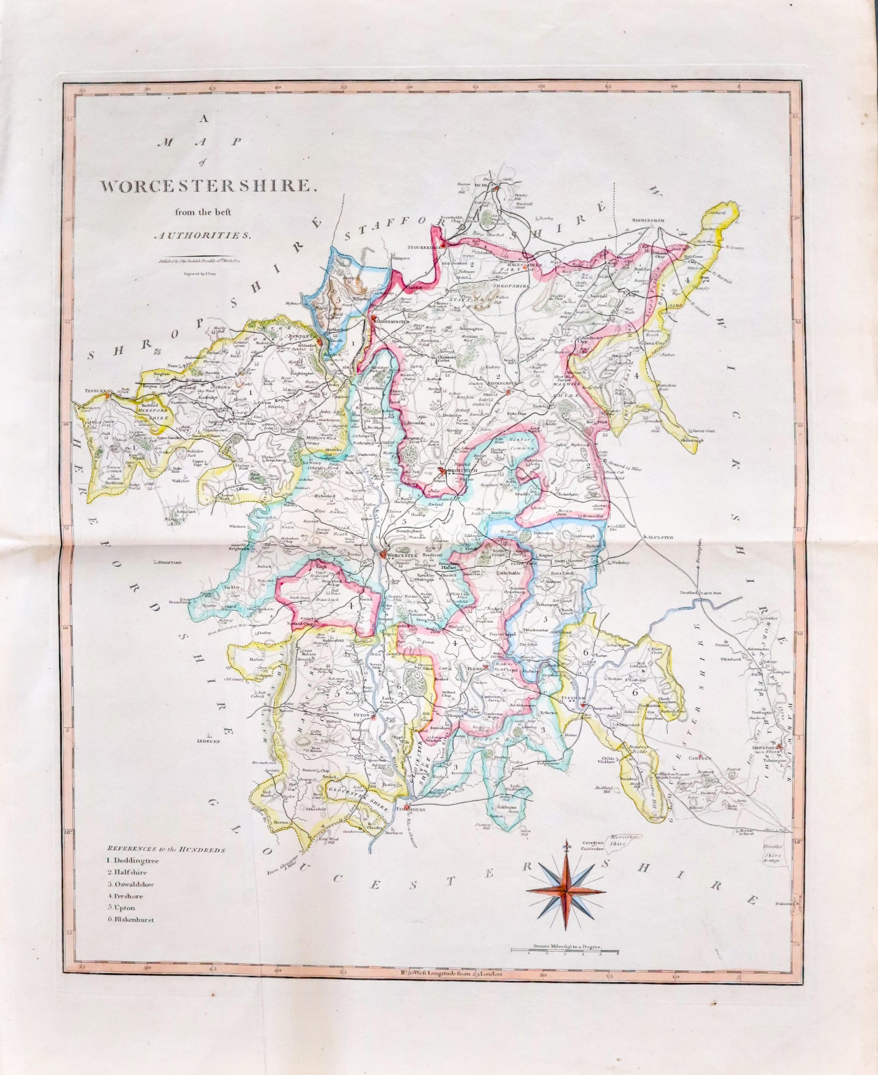
Worcestershire John Cary & John Stockdale 1805

33127 Worcestershire, John Cary & John Stockdale, c.1805. Price: 42.00
A MAP OF WORCESTERSHIRE FROM THE BEST AUTHORITIES
A good detailed map of the county with publisher’s imprint dated 1805. 16 x 19 1/2 inches. Originally bound on edge so there is no centre fold but there is a light fold crease up the centre of the map. Later outline hand colouring to the map. Light vertical crease on the left hand side of the map otherwise good clean condition with wide blank margins.
From: New British Atlas published by John Stockdale, Piccadilly.
19th Century - Decorative
-

Worcestershire, Thomas Moule c.1850
33315 Worcestershire, Thomas Moule c.1850. Price: 56.00
WORCESTERSHIRE
A decorative Victorian county map embellished with three views showing Great Malvern, Worcester and Croom Court. Gothic architecture and floral border and four coats of arms. 7 3/4 x 9 3/4 inches. Hand coloured. Very light crease across the top right hand corner passing through the top of the spire and swirl. Small repair to the top of the bottom right hand blank margin corner. Otherwise good condition. Hand coloured.
From: Barclay’s Dictionary
19th Century
-

Worcestershire
Worcestershire, Samuel Lewis, c.1845. Price: 10.00
WORCESTERSHIRE
A county map drawn by R. Creighton and engraved by T. Starling. Reference to the Unions. Scale and compass rose. 6 3/4 x 8 inches. Uncoloured. Some light creasing in the lower part of the map.
From: Lewis' Atlas to the Topographical Dictionaries of England and Wales
SPECIAL PRICE
18th Century
-

Worcestershire, Robert Morden c.1722
33425 Worcestershire, Robert Morden, c.1722. Price: 50.00
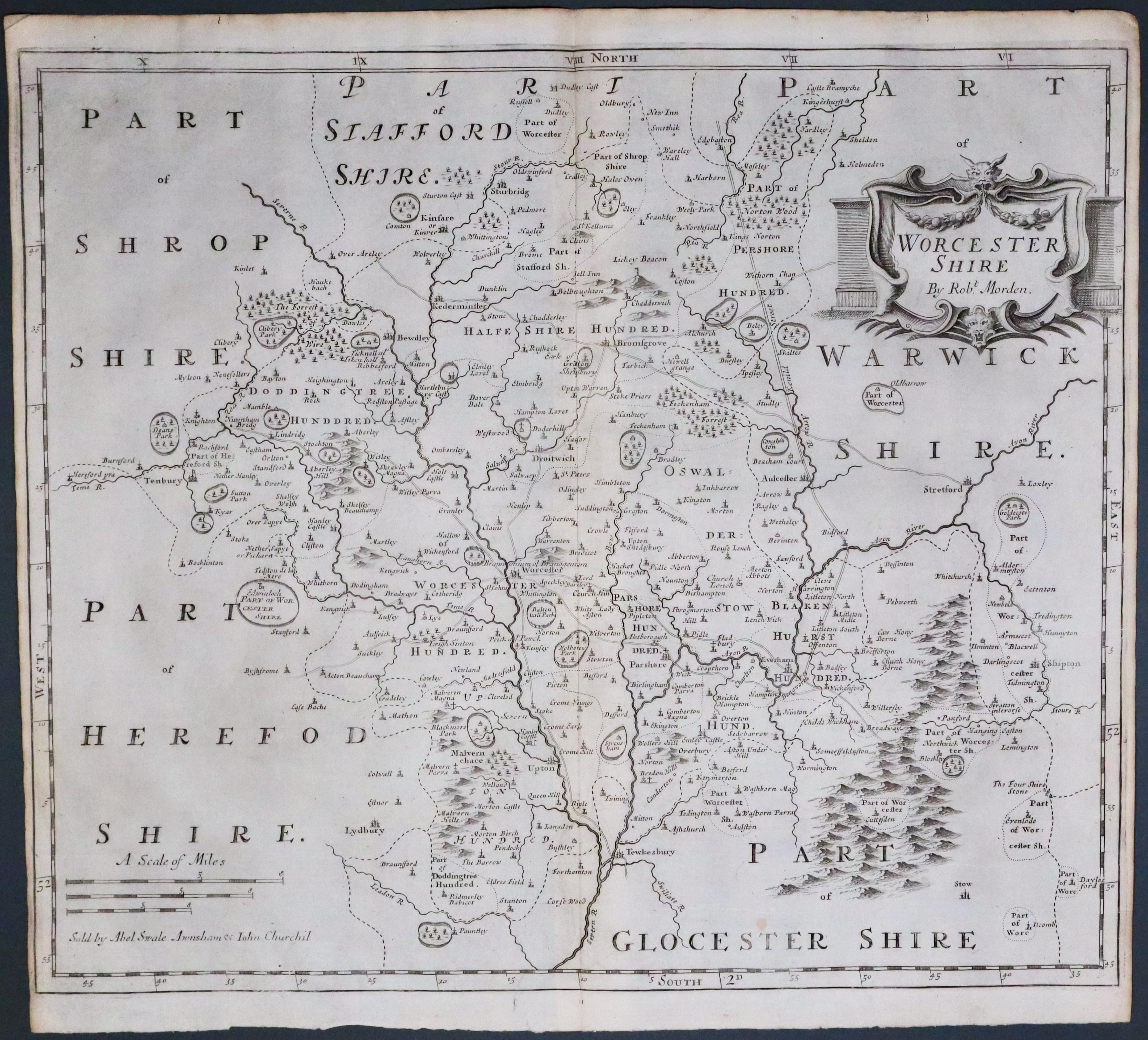
WORCESTERSHIRE By Robt. Morden
A good engraved map of the county embellished with a decorative title cartouche. Three scales. 16 1/2 x 14 1/4 inches. Later hand colouring. Good condition. This map has been dry mounted onto thin stiff card and therefore offered at a greatly reduced price. Will look great when it is framed.
No possible to accurately date it due to the mounting but it could well be the earlier 1695 edition.
From: Camden's Britannia
18th Century - First Edition
-

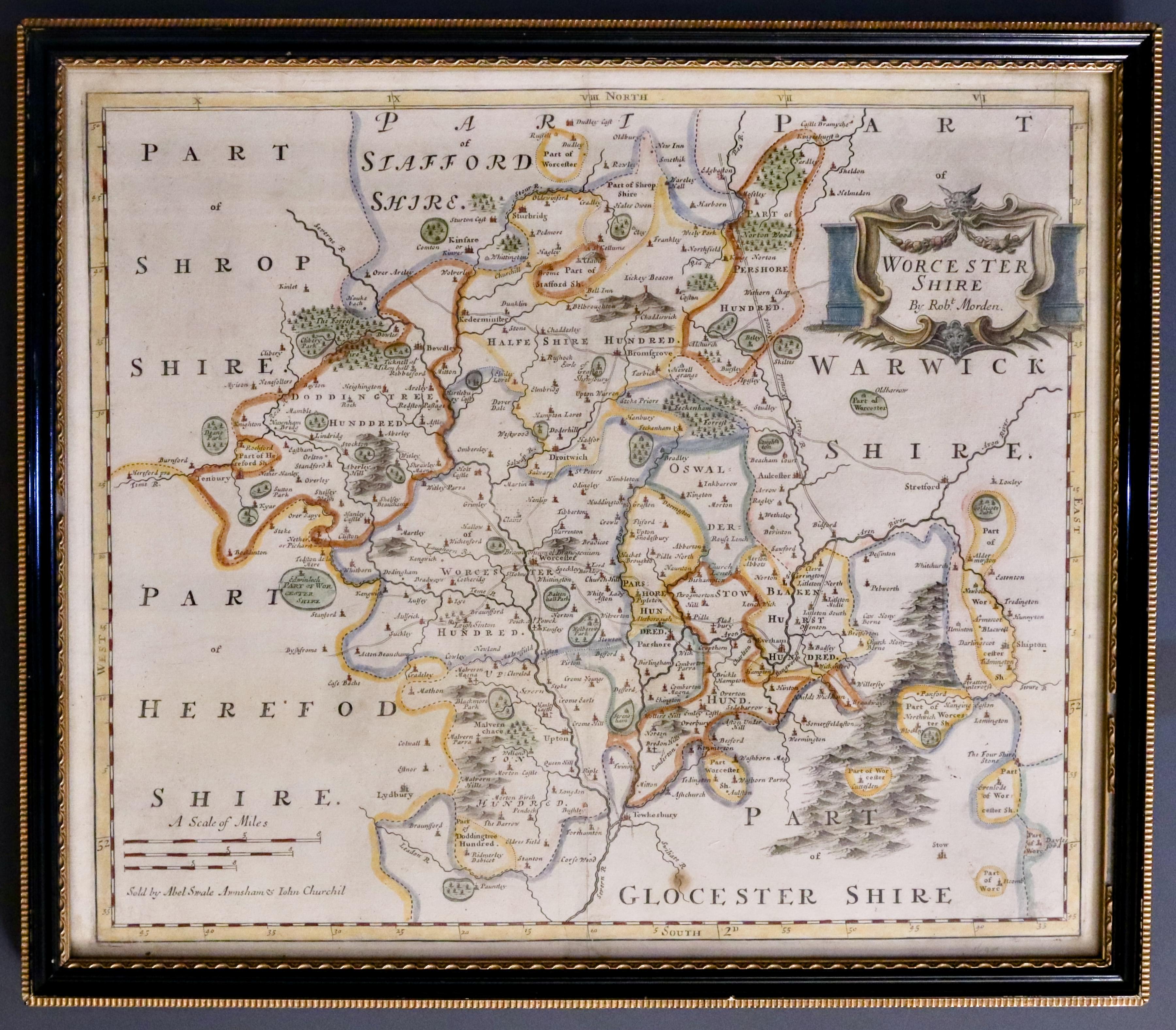
Worcestershire, Robert Morden 1695
33504 Worcestershire, Robert Morden 1695. Price: 98.00
WORCESTERSHIRE BY ROBT. MORDEN
The FIRST EDITION of this good engraved late 17th century map of the county embellished with a decorative title cartouche. Three scales. Imprint of the publishers Abel Swale with Awnsham and John Churchill. 16 1/2 x 14 1/4 inches. Original centre fold. Uncoloured. Good condition. This map has been taken straight from the atlas and therefore not previously offered for sale as a single map. One of the first maps of the county to show the main coach roads following Ogilby’s survey some 20 years earlier.
From: Camden's Britannia
17th Century Text
-

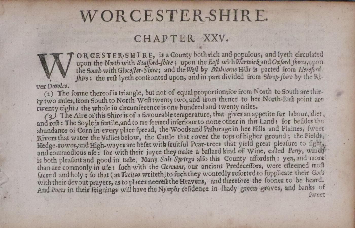
Worcestershire Text, Pieter van den Keere 1660
33696 Worcestershire Text, Pieter van den Kere, 1660. Price: 10.00
WORCESTERSHIRE
The two sheets (four pages) of text for the county from England Wales Scotland and Ireland Described. Page size 6 1/2 x 4 inches. Good condition.

