Antique Maps of Monmouthshire
Richard Nicholson of Chester
A World of Antique Maps and Prints
Established in 1961
All the Maps on this page are guaranteed to be genuine early specimens
published in or around the year stated
18th Century - County and Road Map
-

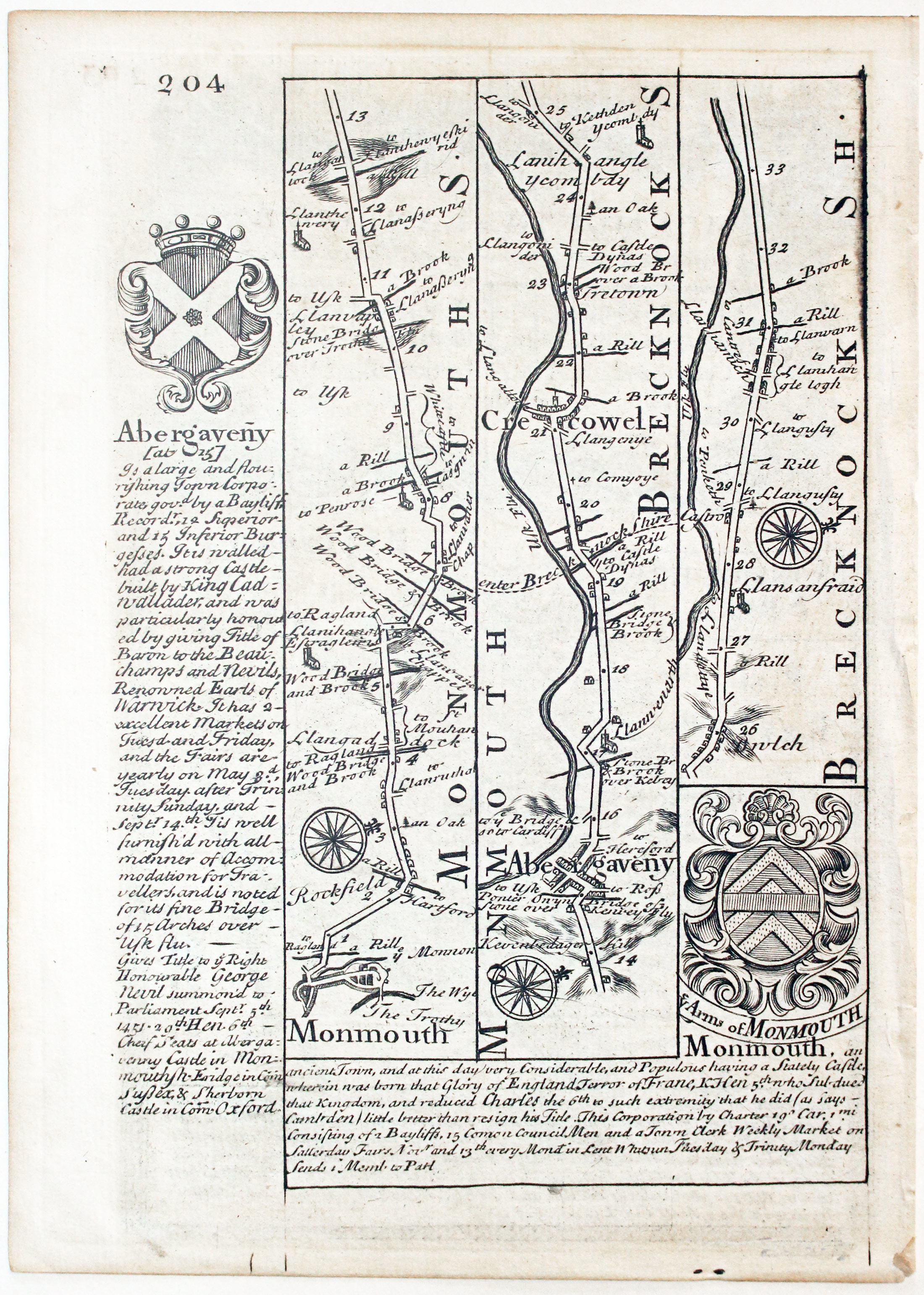
Road map from Monmouth to beyond Crickhowell by John Owen and Emanuel Bowen, c.1730
-
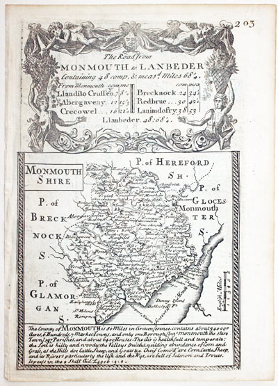
Map of Monmothshire by John Owen and Emanuel Bowen, c.1730
25923 Monmouthshire, John Owen and Emanuel Bowen, c.1730. Price: 29.00
MONMOUTHSHIRE
An engraved county map with description beneath. The map is surmounted by a baroque cartouche titled The Road from Monmouth to Llanbeder. There is a road map on verso from Monmouth to beyond Crickhowell with two coats of arms and engraved notes. 4 x 7 1 /4 inches. Uncoloured. Very small hole in blank area of the county map.
From: Britannia Depicta

19th Century - Early Hand Colouring
-
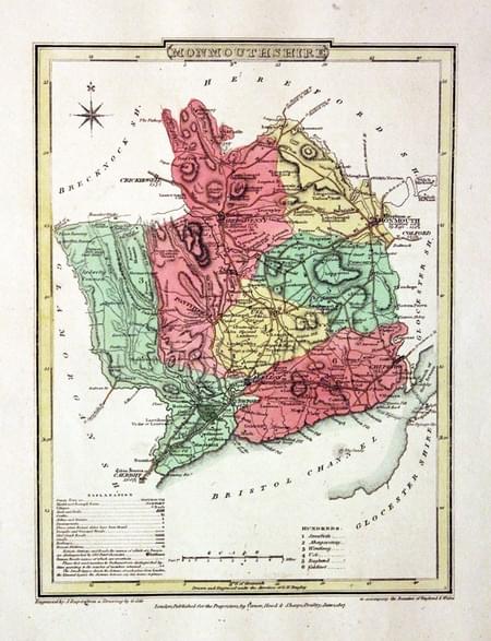
Monmouthshire, George Cole and John Roper, 1810

30522 Monmouthshire, George Cole and John Roper, 1810. Price: 32.00
MONMOUTHSHIRE
A good detailed engraved map of the county divided into hundreds. Bears the publishers imprint dated of 1807. Explanation. 7 x 9 1/4 inches. Original wash and outline hand colouring. Good condition. Straight from the atlas and not sold as a single map before. With original page of descriptive text.
From: The British Atlas
Early 19th Century - Original Hand Colouring
-
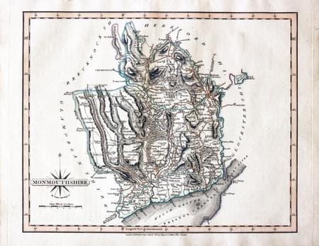
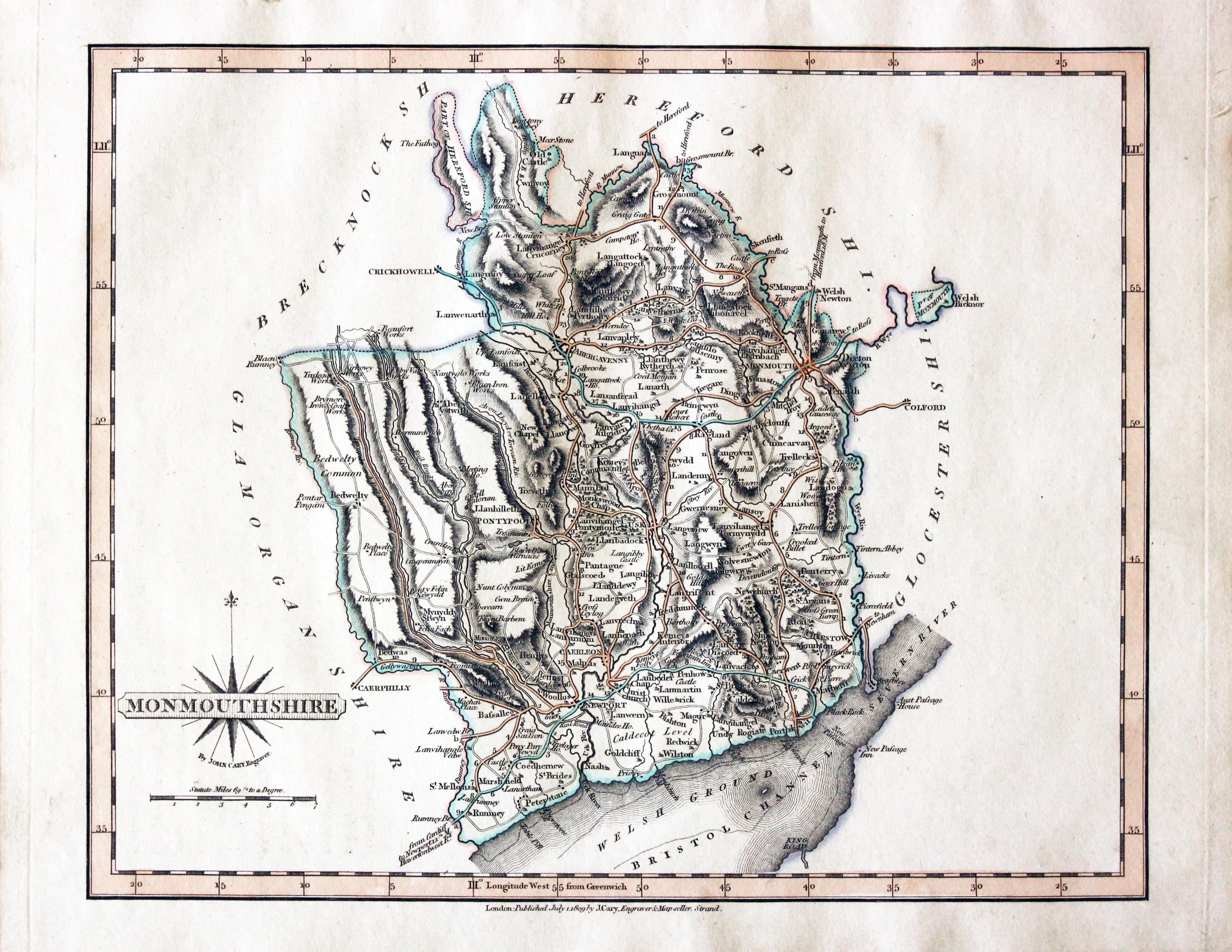
Monmouthshire, John Cary, 1809

30714 Monmouthshire, John Cary, 1809. Price: 35.00
MONMOUTHSHIRE
A good engraved map of the county. Title panel with compass rose. Publisher’s imprint beneath dated 1809. 10 1/4 x 8 1/4 inches. Attractive original outline hand colouring. Good condition. With this map is the original pages of descriptive text. Straight from the atlas and not sold as a single map before. The earlier editions of this map were printed in a portrait mode. This edition Monmouthshire appears in landscape mode.
From: Cary's New and Correct English Atlas
19th Century - Early Hand Colouring
-

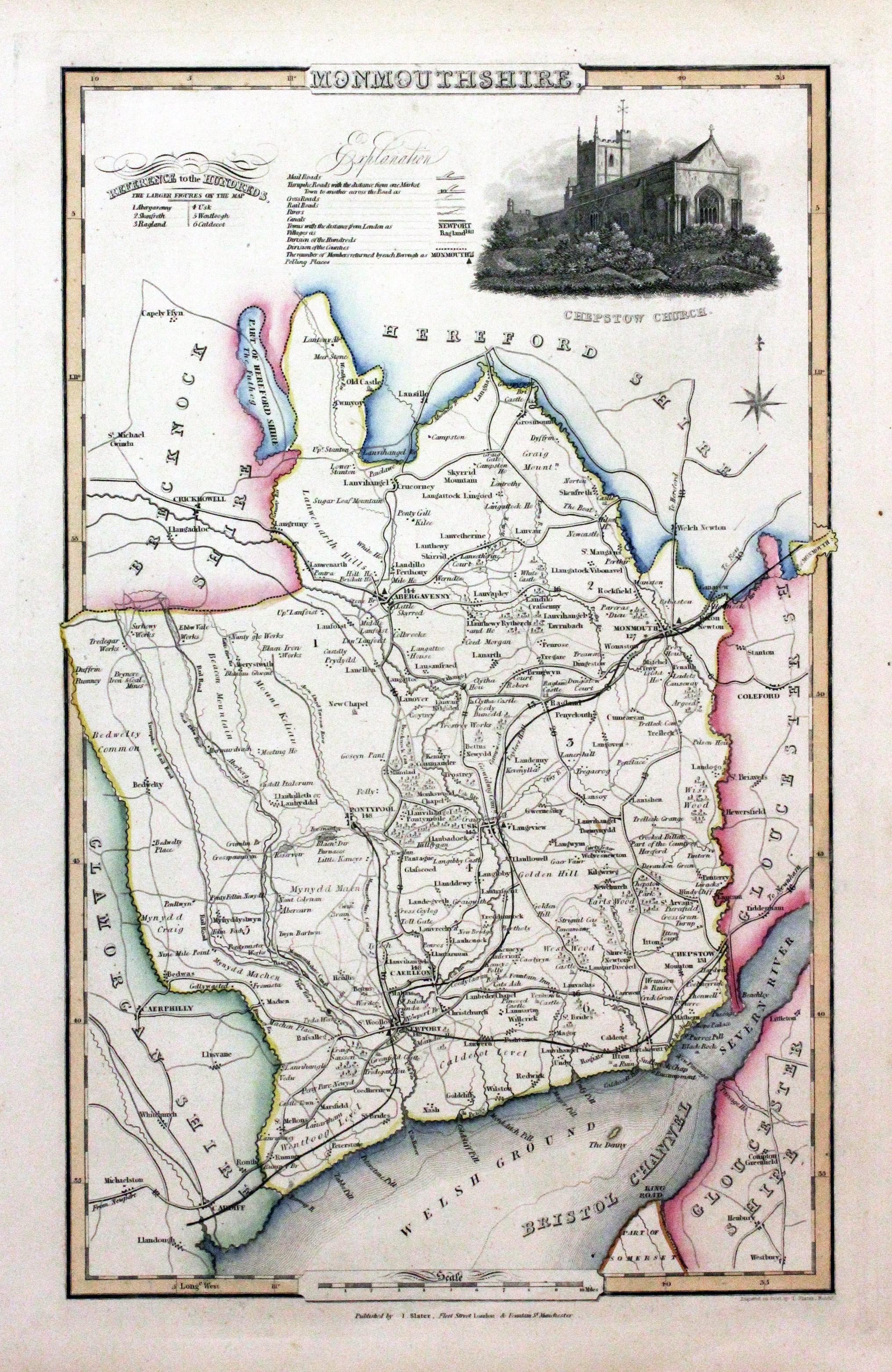
Monmouthshire, James Pigot / Isaac Slater, c.1857

30788 Monmouthshire, James Pigot / Isaac Slater, c.1857. Price: 50.00
MONMOUTHSHIRE
An engraved map of the county with title, scale, explanation and list of hundreds. Embellished with an uncoloured view of Chepstow Church. 8 3/4 x 14 inches. Original outline hand colouring. On stout paper. Good undamaged condition.
From: Isaac Slater’s New British Atlas
18th Century - Good Provenance
-
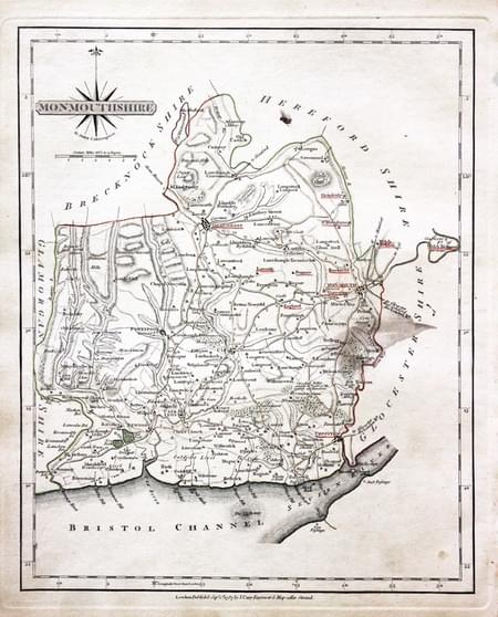
Monmouthshire, John Cary 1793

30876 Monmouthshire, John Cary 1793. Price: 30.00
MONMOUTHSHIRE
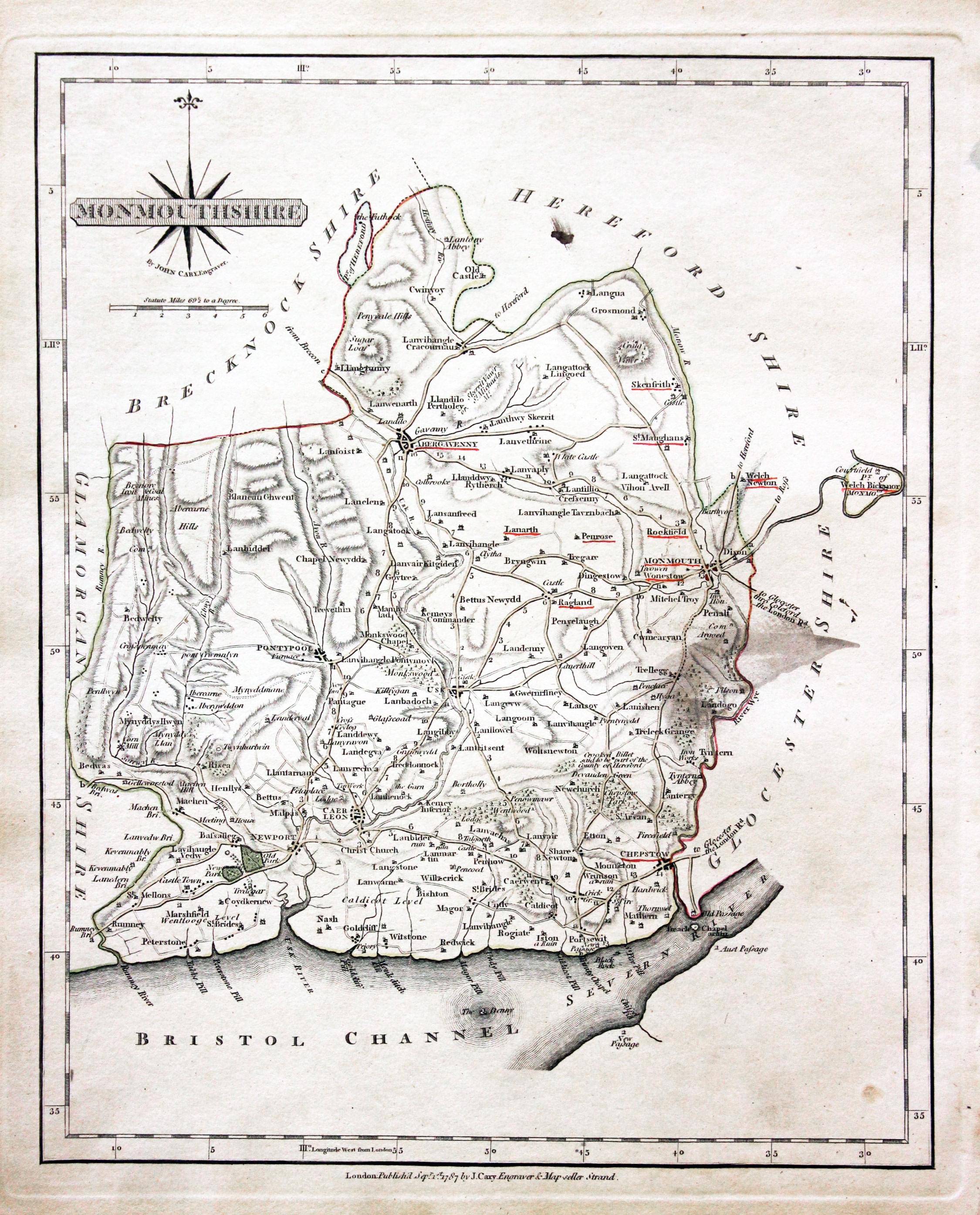
A good detailed engraved map of the county. Title panel and compass rose combined. Publisher's imprint dated 1793 beneath. 8 1/4 x 10 1/4 inches. Original outline hand colouring. Some of the town names are underlined in red. With the original page of descriptive text. Some soiling on the right hand side of the map otherwise good condition.
From: Cary’s New and Correct English Atlas
The significance of some towns being underlined in red is given by the previous owner of the atlas John Hobson Matthews by means of a manuscript note in red ink he has added at the start of the atlas. He says
The places underlined in red ink are those in which a Catholic mission has been established between the era of the Reformation and the year 1840
John Hobson Matthews (1858 - 1914)
Born in Croydon in 1858. Educated at schools at Blackheath and Cambridge. Worked for a shipping firm in Malta. A good linguist he was a Roman Catholic historian, archivist and solicitor. You will find more details about him here in the Dictionary of Welsh Biography.
18th Century - Early Hand Colouring
-

Monmouthshire, John Cary 1793

30995 Monmouthshire, John Cary 1793. Price: 30.00
MONMOUTHSHIRE
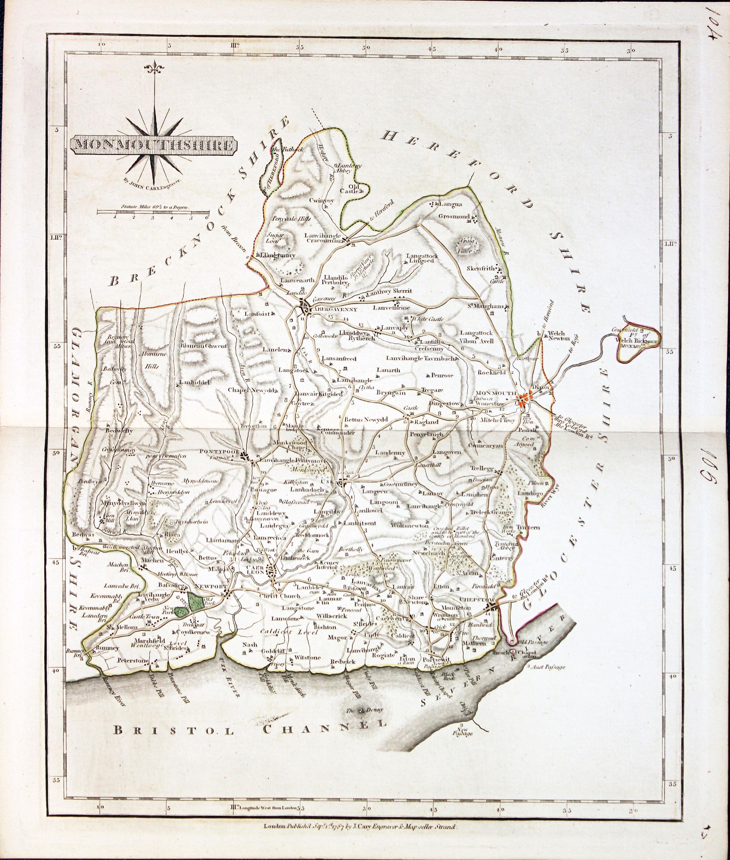
A well engraved detailed map of the county with title panel and compass rose combined. Scale. Imprint of John Cary dated 1793. Centre fold. Old manuscript numbering in blank margin 96 and 97. 10 1/4 x 8 1/4 inches. Original outline hand colouring. Good condition.
From: Cary's New and Correct English Atlas
19th Century - Fox Hunting
-
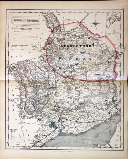
Monmouthshire - Fox Hunting, John and Charles Walker, 1851

31052 Monmouthshire - Fox Hunting, John and Charles Walker, 1851. Price: 38.00
MONMOUTHSHIRE
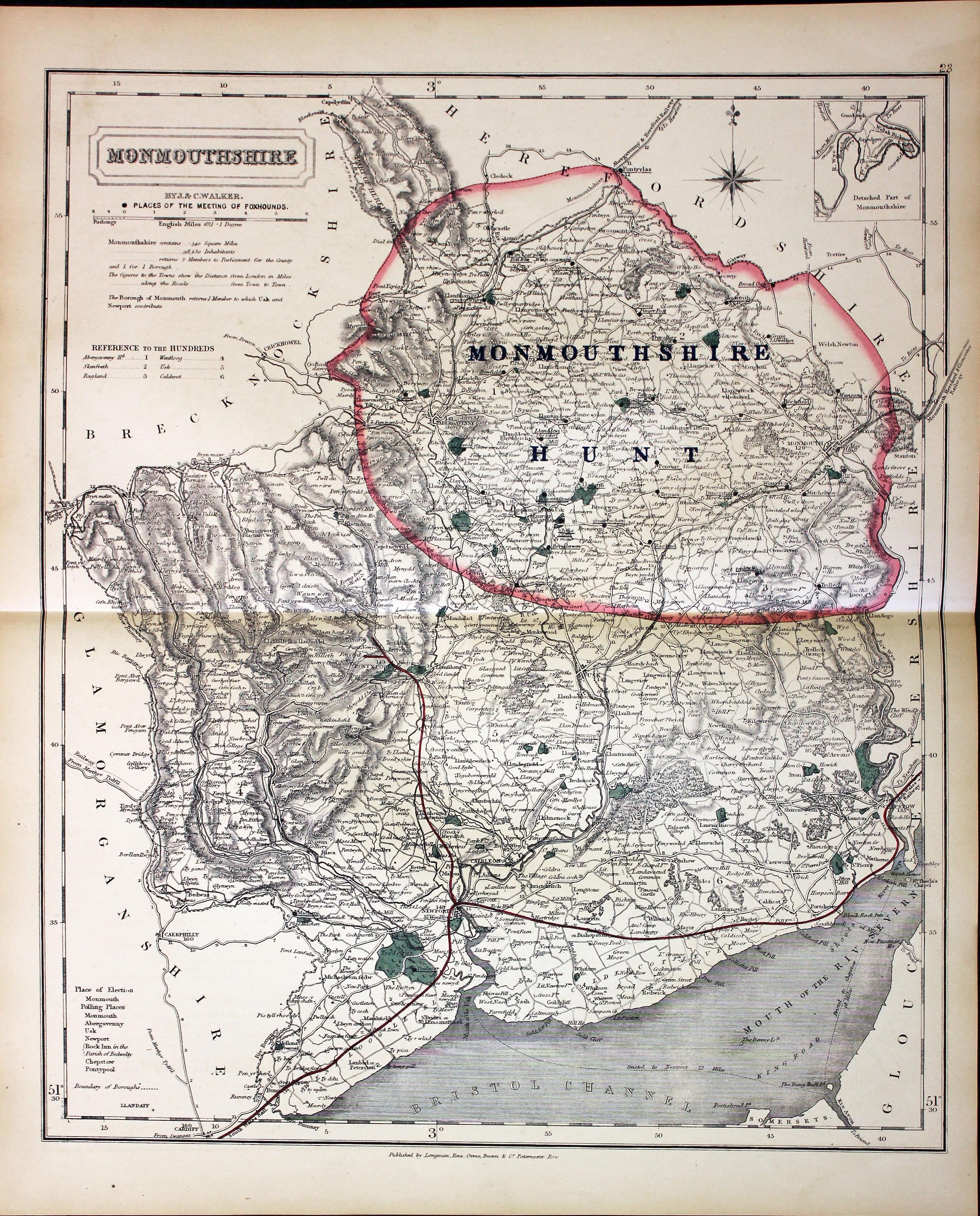
A good detailed lithograph map of the county from Hobson's Fox Hunting Atlas showing the places of the Meeting of the Fox Hounds. 12 1/2 x 15 1/2 inches. Published by Longman, Rees, Orme, Brown and Co. Paternoster Row, London. Original outline hand colouring. Fine condition. Straight from the atlas so has not been sold as a single map before.
Shows Monmouthshire Hunt
Provenance: George Hayhurst - Royal Fusiliers and Henry H. France
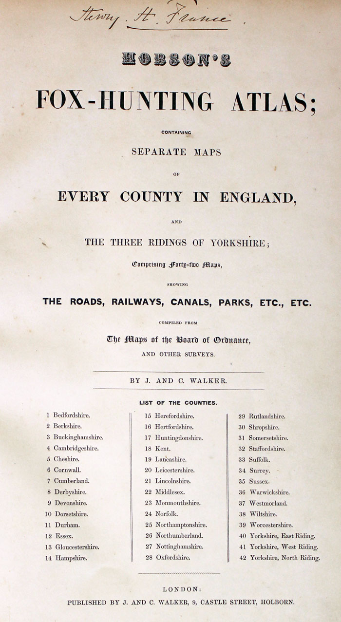
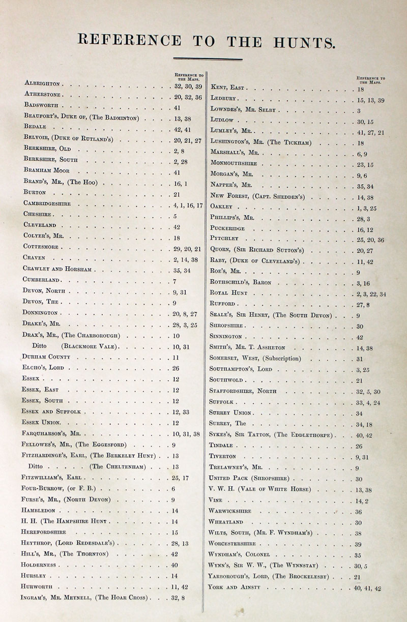
TITLE PAGE AND LIST OF HUNTS
-
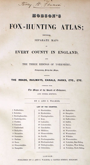
Hobson Fox Hunting Atlas Titlepage
-
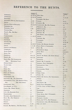
Hobsons Fox Hunting Atlas List of Hunts
19th Century
-

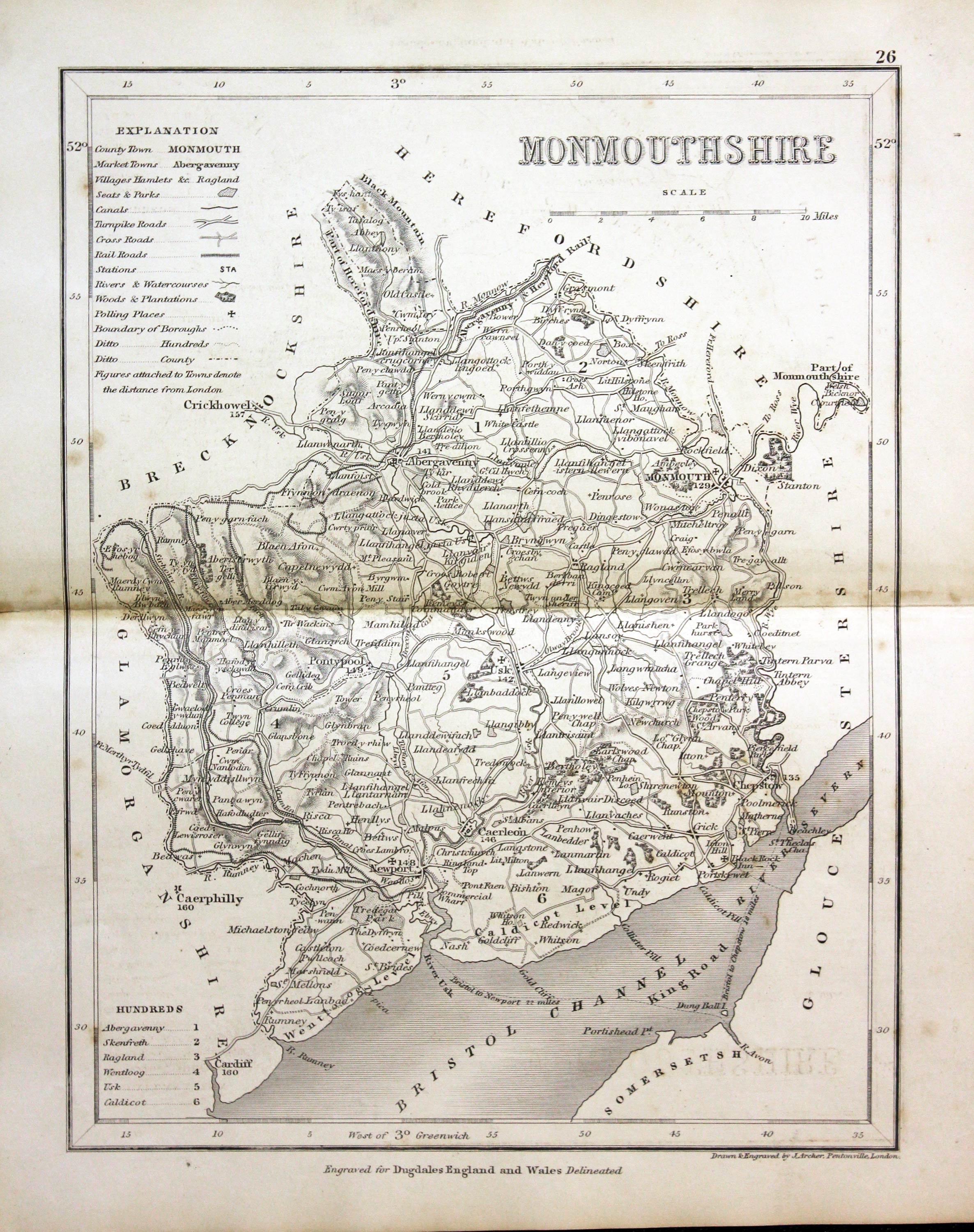
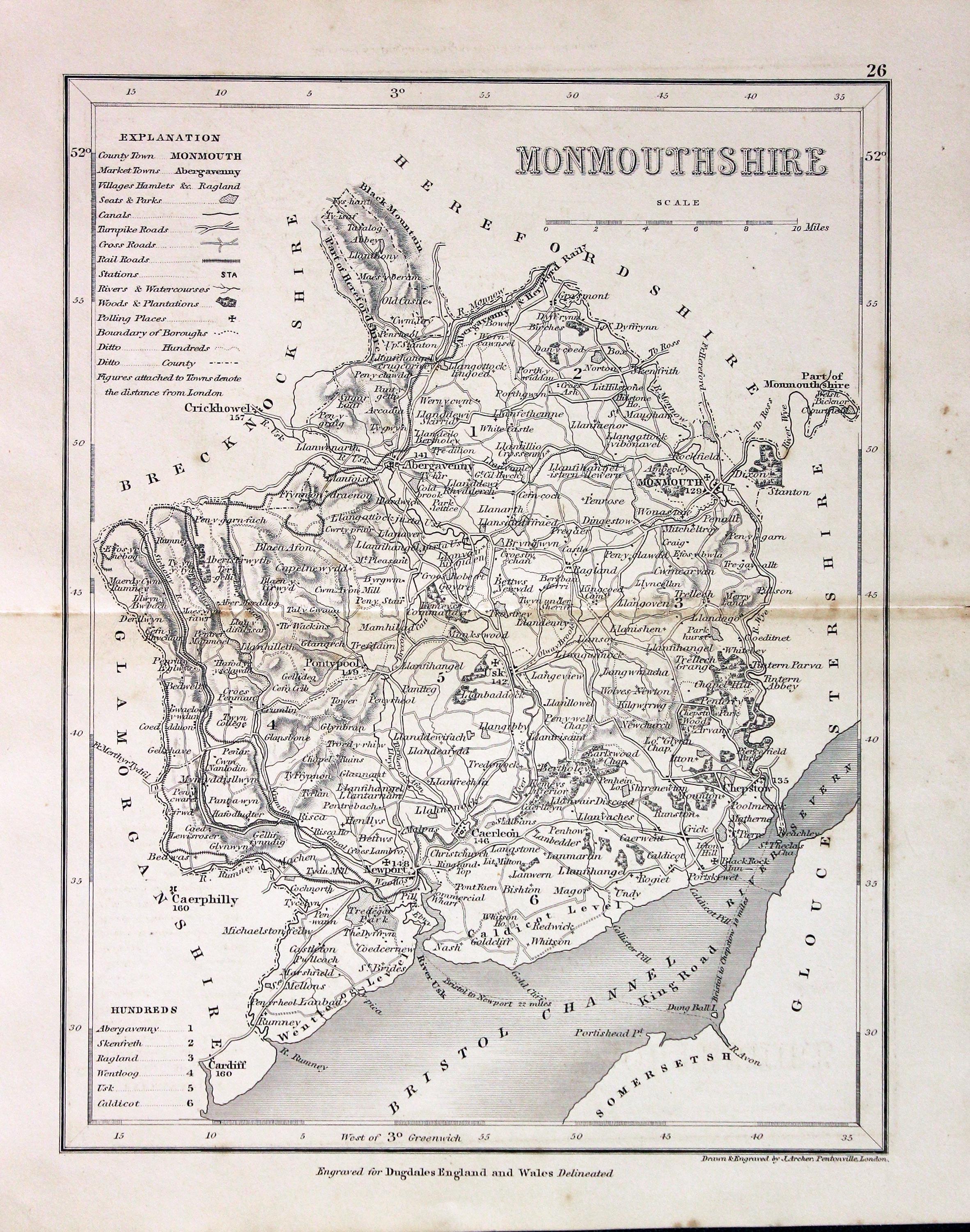
Monmouthshire, Joshua Archer c.1845

30210 Monmouthshire, Joshua Archer, c.1845. Price: 12.50
MONMOUTHSHIRE
An engraved map of the county map divided into hundreds. 7 x 9.25 inches. Uncoloured. Explanation, list of hundreds and scale. Original centre fold. Some light toning. No repairs.
From: Dugdale's England and Wales Delineated
18th Century - First Edition
-
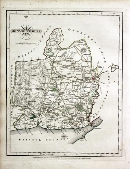
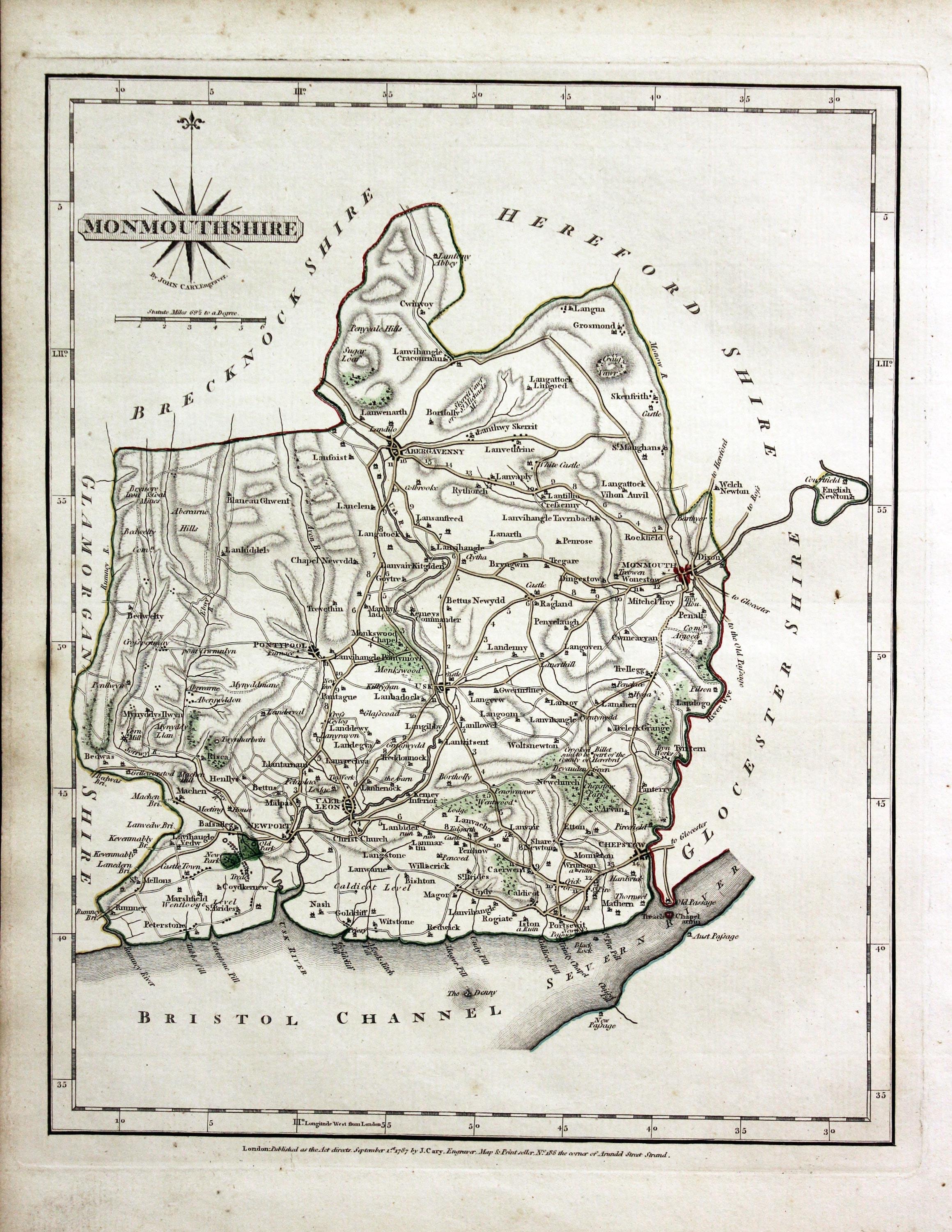
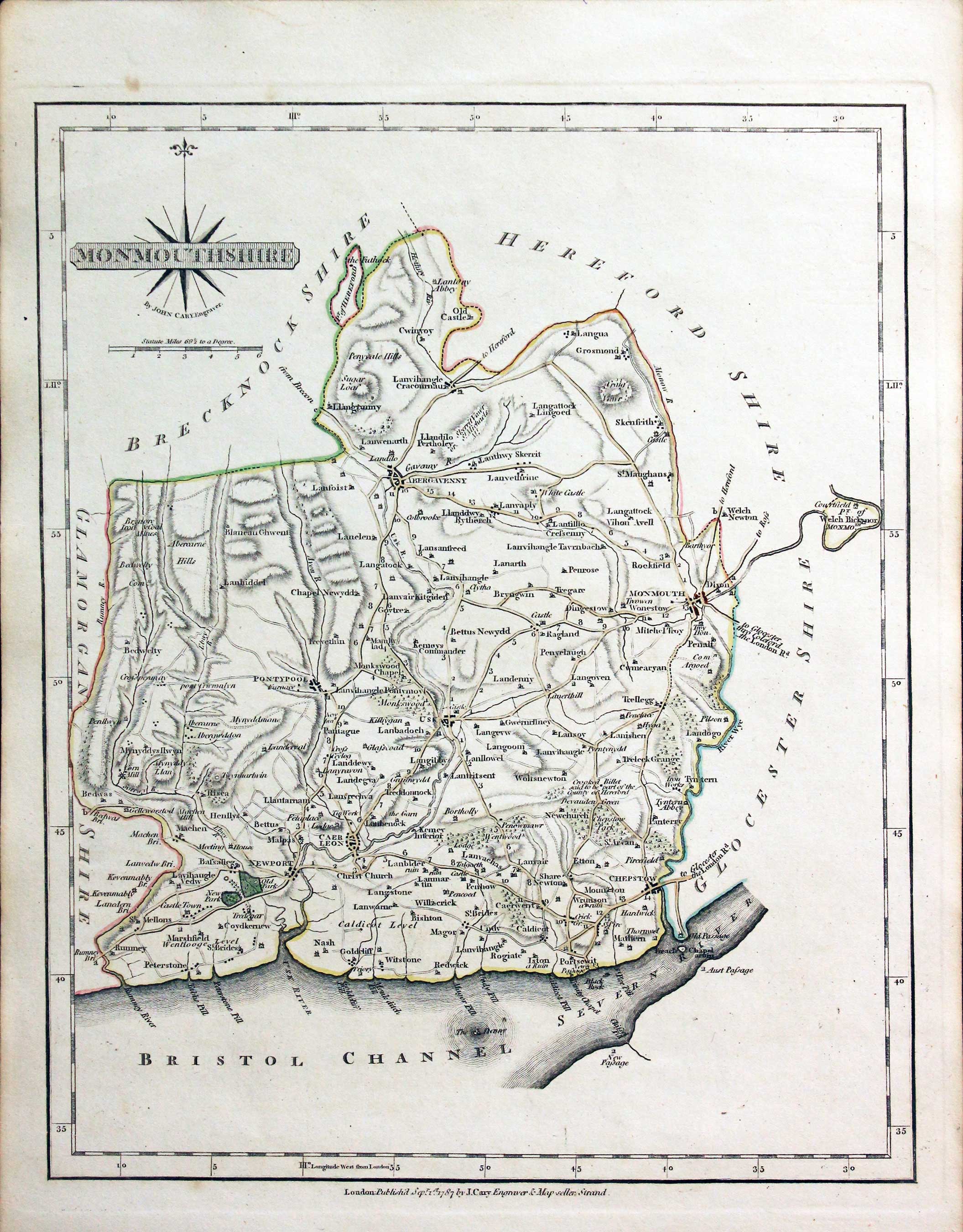
Monmouthshire John Cary 1787

31293 Monmouthshire, John Cary 1787. Price: 35.00
MONMOUTHSHIRE
The FIRST EDITION of this well engraved detailed map of the county with title panel and compass rose combined. Scale. Imprint of John Cary dated 1787. 10 1/4 x 8 1/4 inches. Original outline hand colouring. Good condition. With this map is the original page of descriptive text.
From: Cary's New and Correct English Atlas
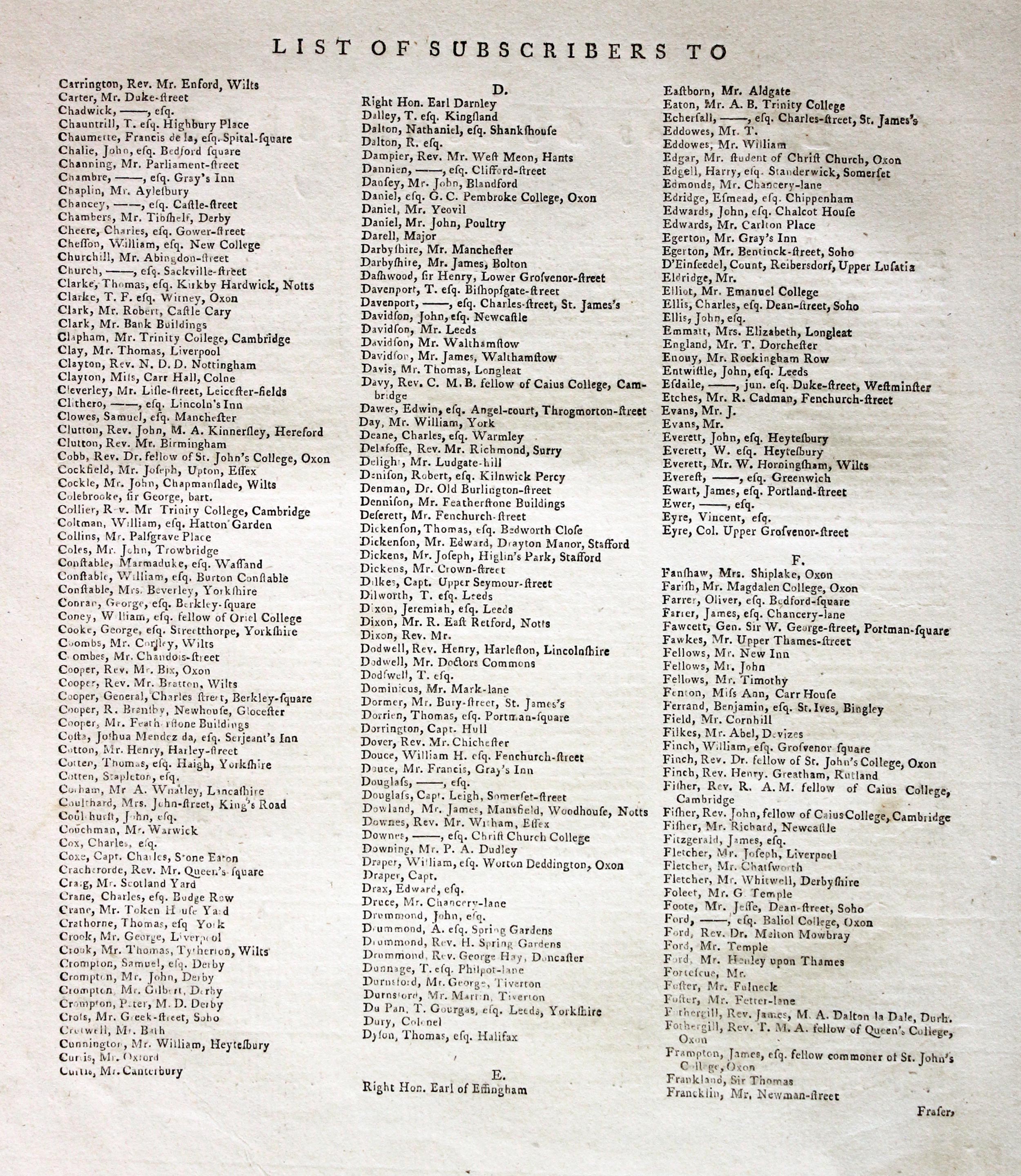
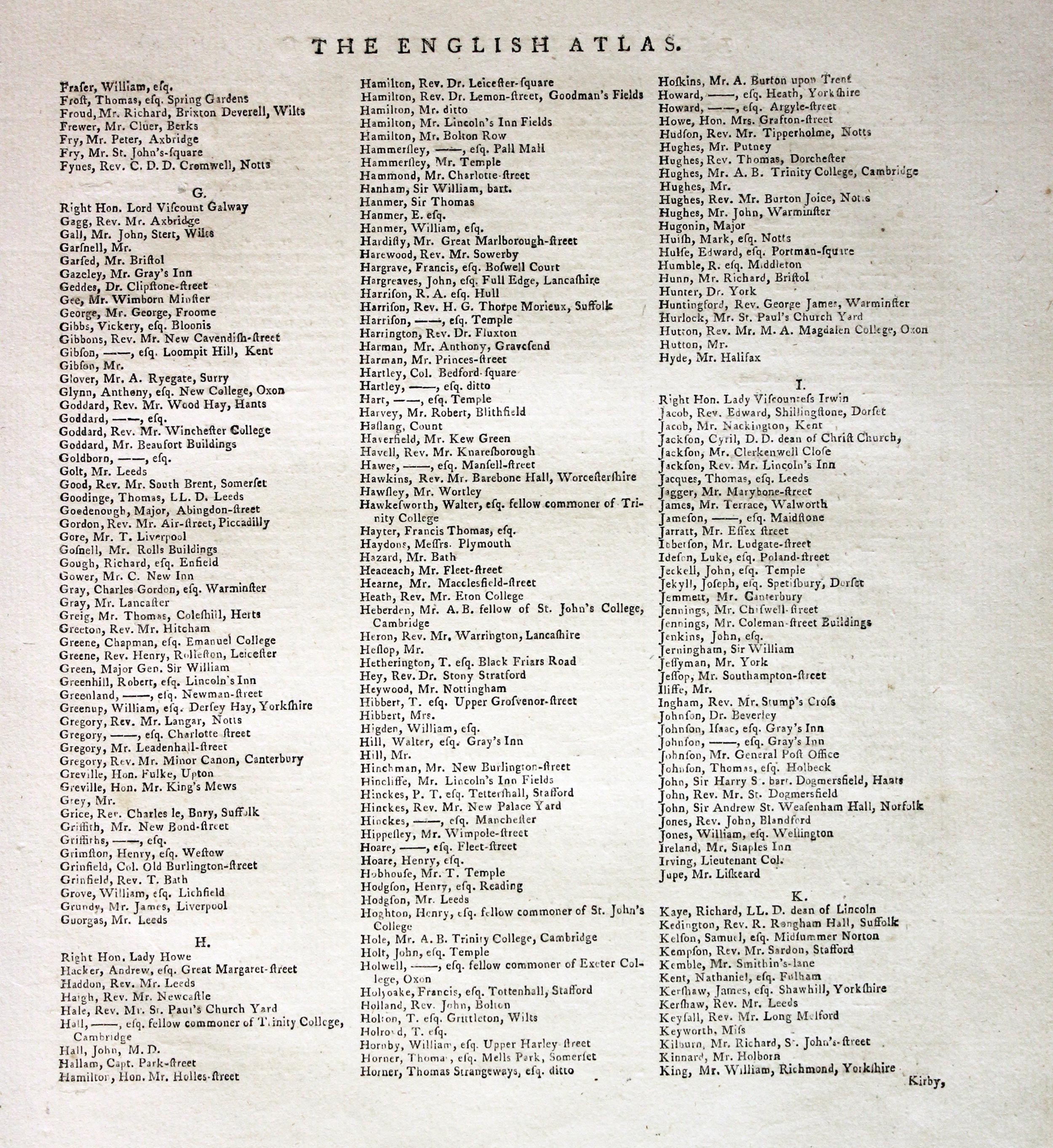
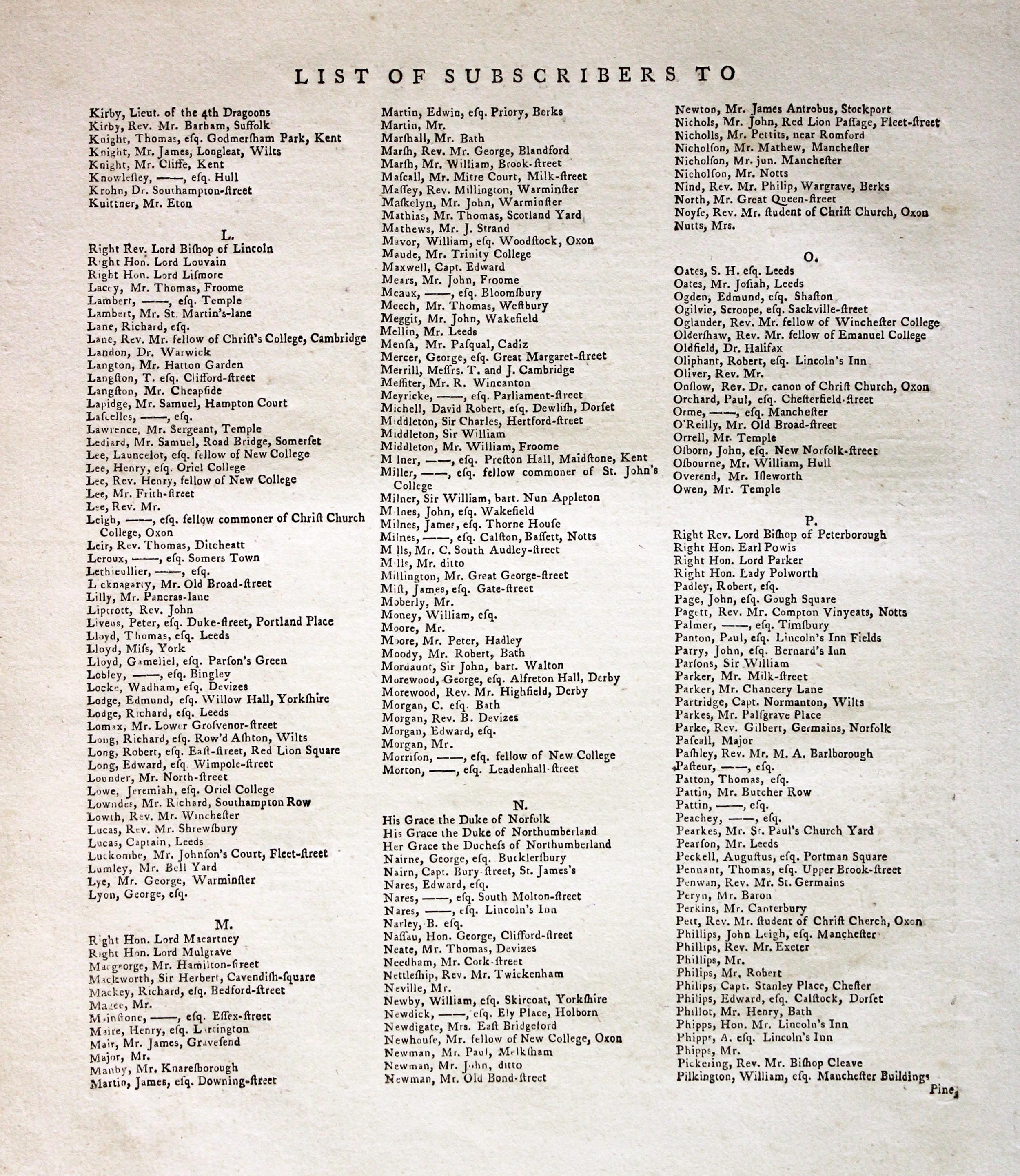
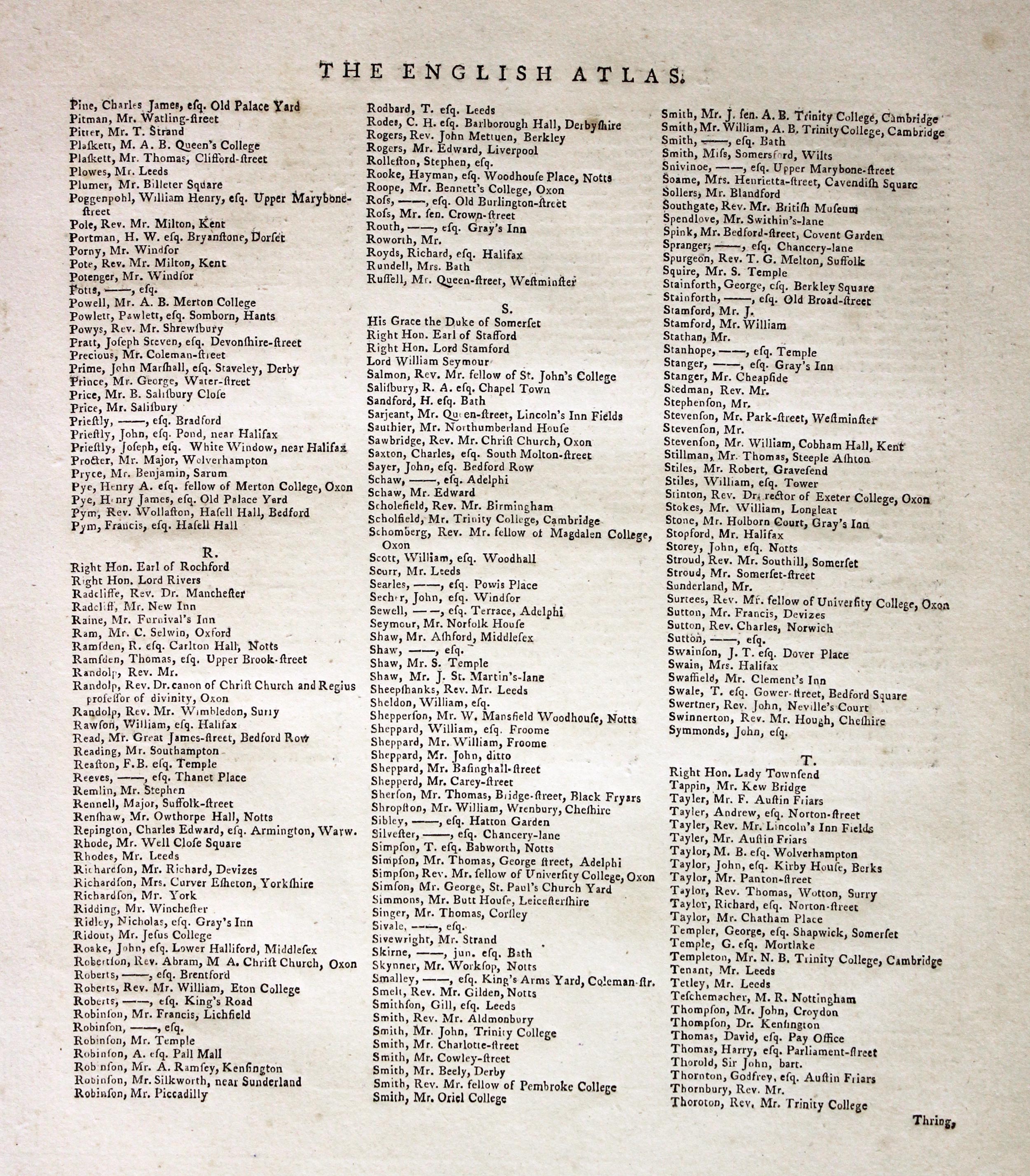
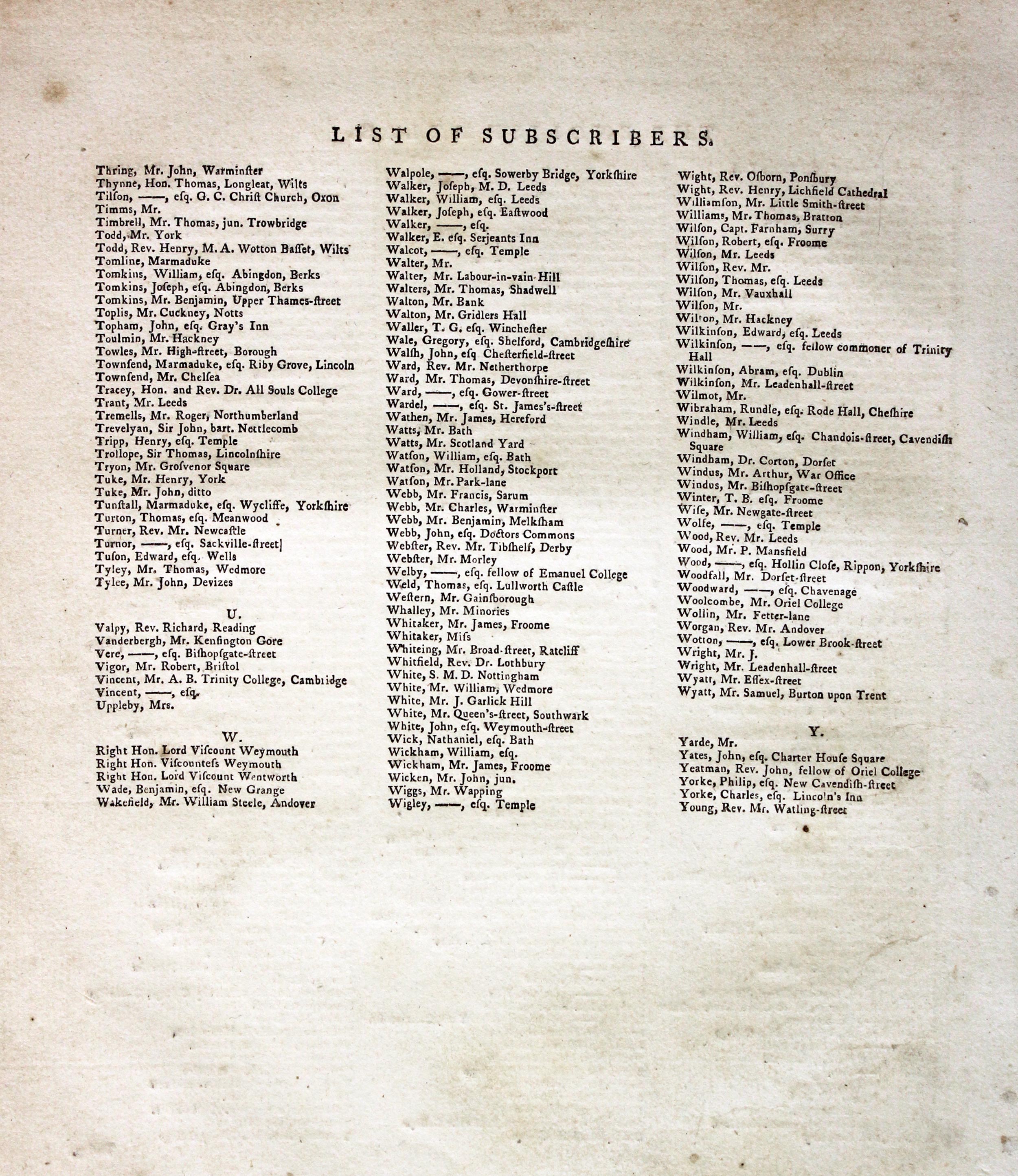
Subcribers to the First Edition
If you are thinking of buying this map you may be interested to see this list of the original subscribers to Cary's New and Correct English Atlas first published in 1787. It makes interesting reading and might even include one of your relatives.
-
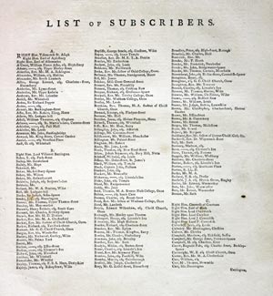
New and Correct English Atlas Subscribers
-

New and Correct English Atlas Subscribers
-
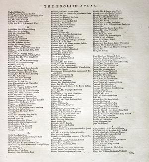
New and Correct English Atlas Subscribers
-
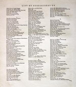
New and Correct English Atlas Subscribers
-
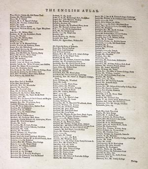
New and Correct English Atlas Subscribers
-
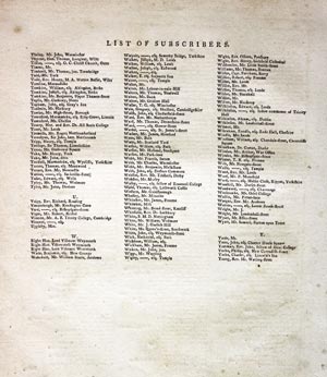
New and Correct English Atlas Subscribers
Two 18th Century County Maps
-
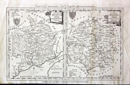
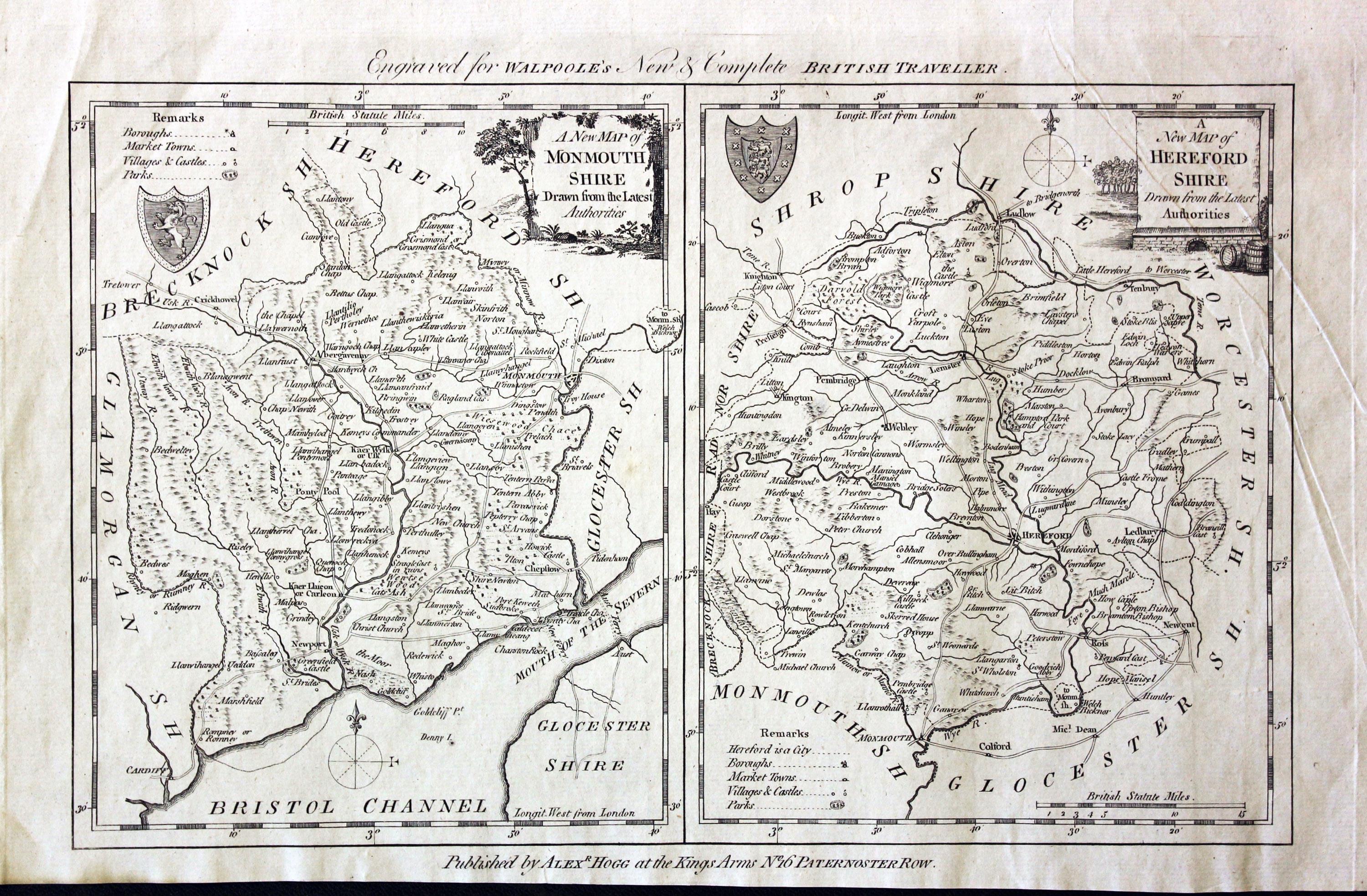
Monmouthshire and Herefordshire, George A. Walpole, 1794

31319 Monmouthshire and Herefordshire, George A. Walpole, 1794. Price: 42.00
Two maps on one sheet
A NEW MAP OF MONMOUTHSHIRE DRAWN FROM THE LATEST AUTHORITIES
An engraved county map with a pictorial title cartouche. Coat of arms and compass pointer. 6 1/4 x 7 3/4 inches, 160 x 195 mm. Uncoloured.
and
A NEW MAP OF HEREFORDSHIRE DRAWN FROM THE LATEST AUTHORITIES
An engraved map of the county embellished with a pictorial title cartouche. Coat of arms. 6 1/4 x 7 3/4 inches. Uncoloured. In goo condition. The bottom blank margin narrows a bit on the left hand side. A few light creases but good clean undamaged condition.
From: Walpole’e New Complete English Traveller
19th Century
-
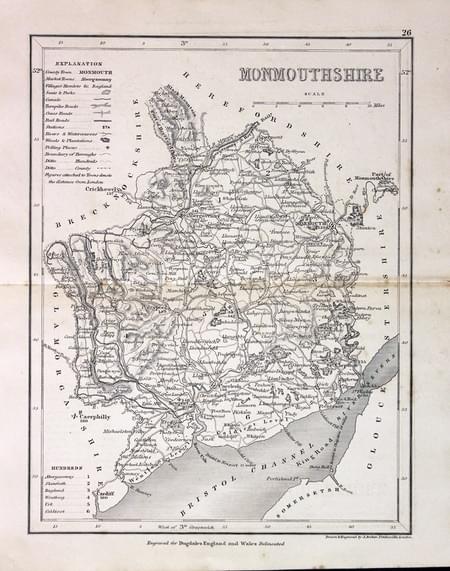
Monmouthshire, Joshua Archer c.1845

31349 Monmouthshire, Josha Archer, c.1845. Price: 12.50
MONMOUTHSHIRE
An engraved map of the county with scale, list of hundreds and explanation. 7 x 9 1/4 inches. Uncoloured. 9 1/4 x 7 inches. Very lightly toned. Good condition.
Engraved for Dugdale's England and Wales Delineated
19th Century - Early Hand Colouring
-

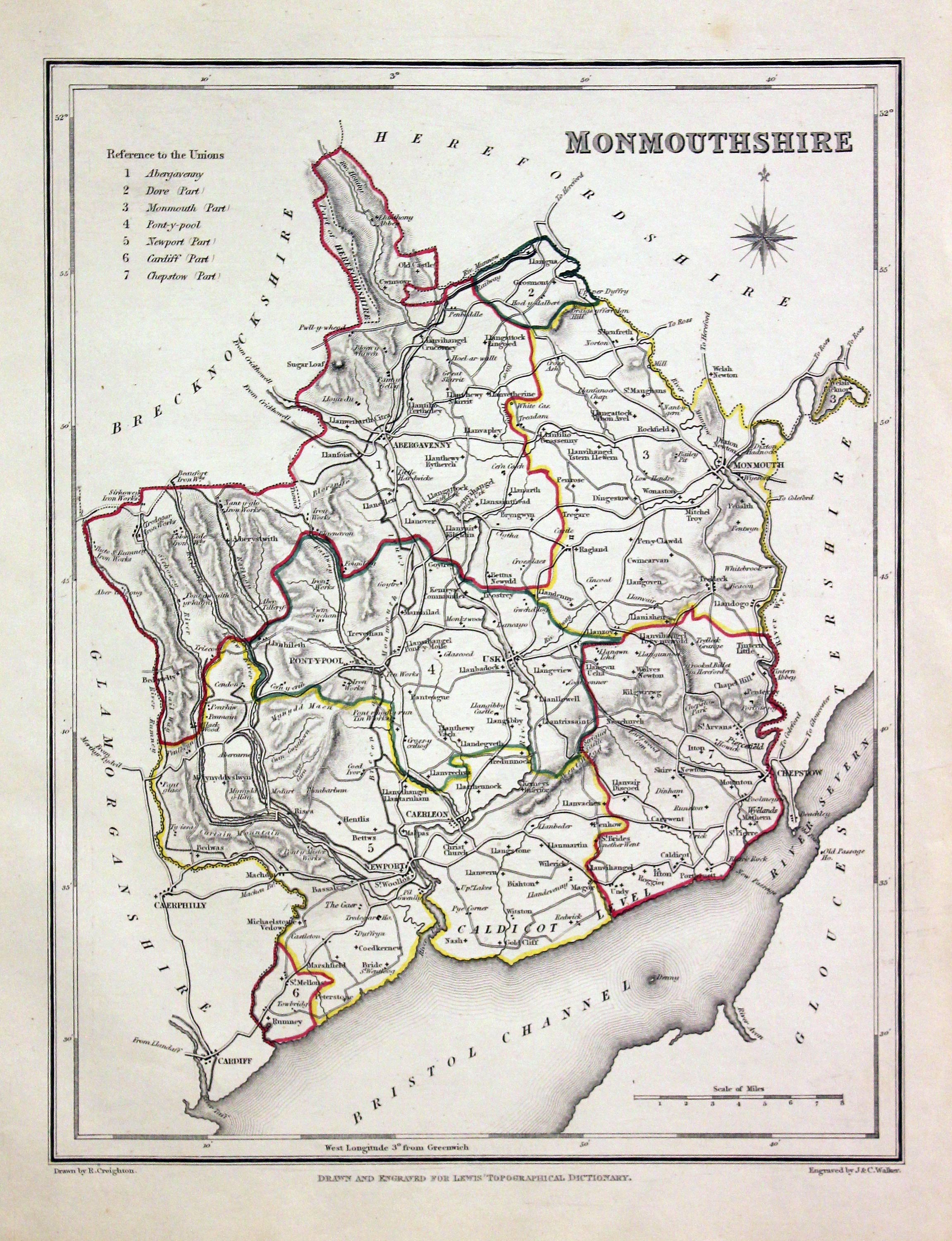
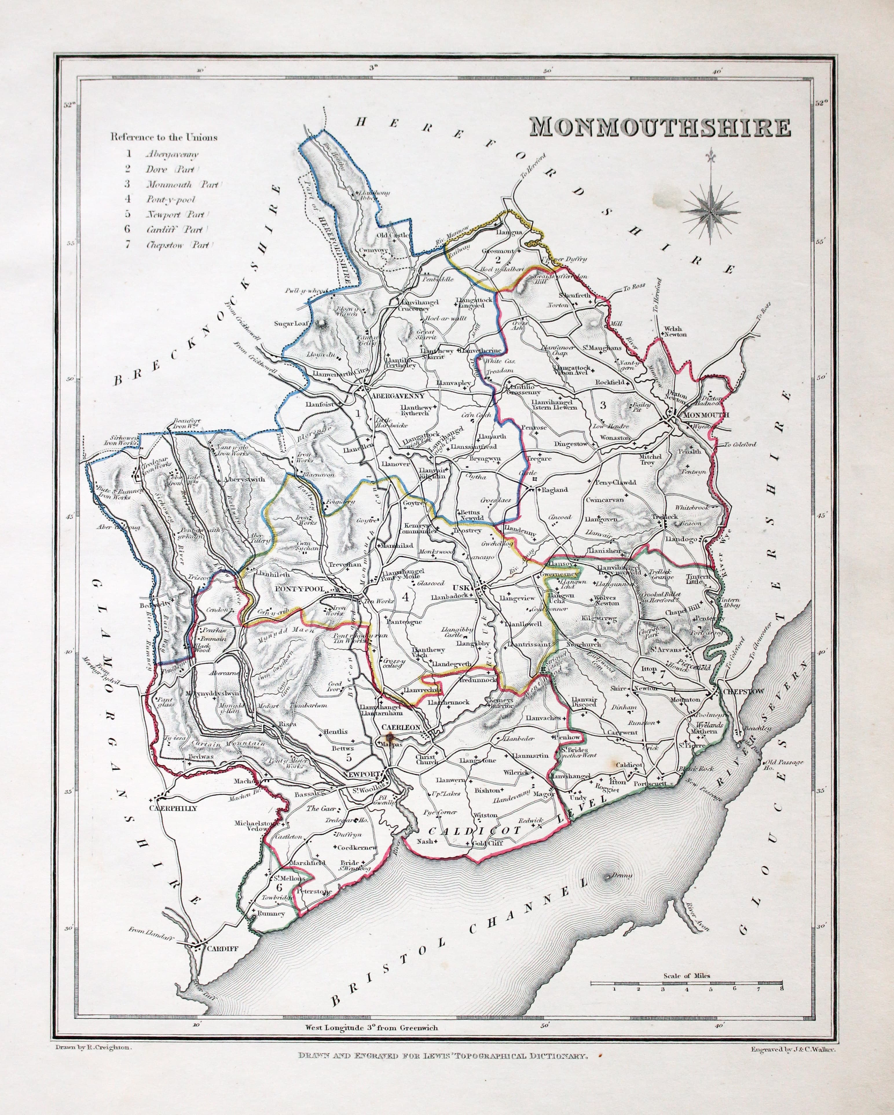
Monmouthshire, Samuel Lewis 1845

31604 Monmouthshire, Samuel Lewis, 1845. Price: 19.00
MONMOUTHSHIRE
A county map drawn by R. Creighton and engraved by J. & C. Walker. Reference to the Unions. Scale. 7 x 9 inches. Original outline hand colouring. Good clean condition. Straight from the atlas and not sold as a single map before now.
From: Lewis' Atlas to the Topographical Dictionaries of England and Wales
19th Century
-
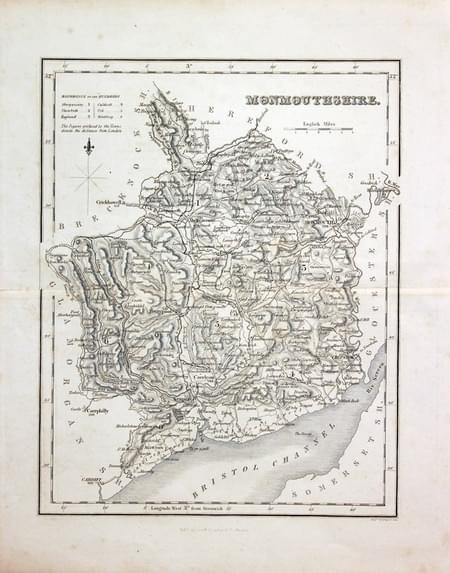
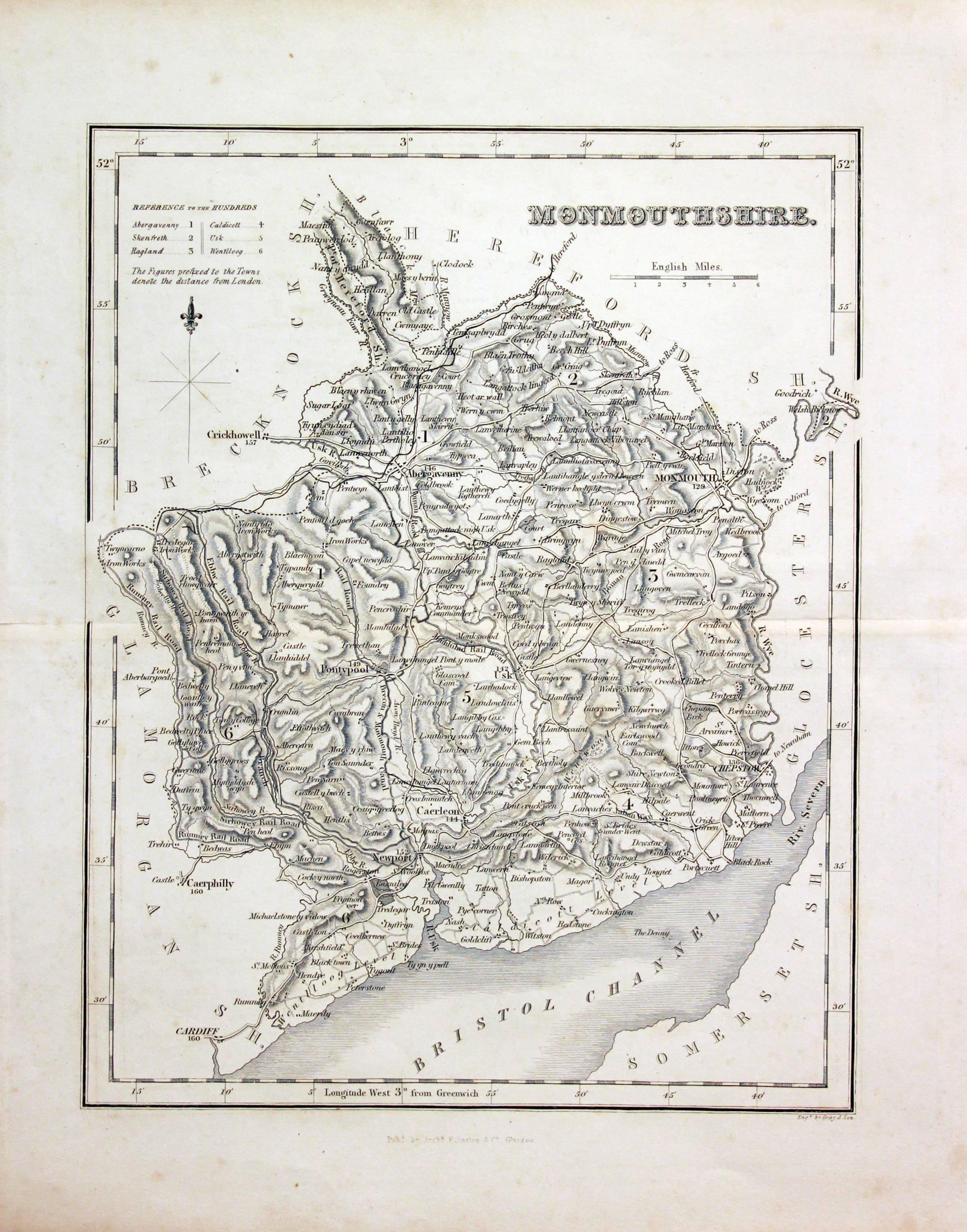
Monmouthshire, Archibald Fullarton c.1843
31631 Monmouthshire, Archibald Fullarton c.1843. Price: 18.00
MONMOUTHSHIRE
A good detailed engraved mid 19th century map of the county. Scale, compass pointer and list of hundreds. Uncoloured. 7 1/2 x 9 1/2 inches. Lightly toned but good undamaged condition.
From: The Parliamentary Gazetteer

19th Century - Early Hand Colouring
-
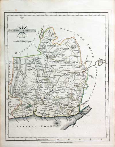
Monmouthshire, John Cary, 1802

31713 Monmouthshire, John Cary, 1802. Price: 32.00
MONMOUTHSHIRE
A well engraved detailed map of the county with title panel and compass rose combined. Scale. Imprint of John Cary dated 1793. With original page of descriptive text. 8 1/4 x 10 1/4 inches. Original outline hand colouring. Good condition. I have dated this map 1802 because the paper is watermarked 1802. The title page of the atlas is dated 1795.
From: Cary's New and Correct English Atlas
Early 17th Century
-

Monmouthshire, Pieter van den Keere 1627
32661 Monmouthshire, Pieter Van den Keere, c.1627. Price: 59.00
MONMOUTHSHIRE
A early engraved miniature map of Monmouthshire. The title and scale are displayed in two cartouche. Numbered 48. 4 3/4 x 3 1/4 inches. A clean undamaged uncoloured specimen. As seen with some Keere maps the blank margins are uneven so the map is perhaps best displayed with a sunk mount. On verso is the end of a description of Glamorganshire in English. With this map is the following double sided page of text that continues the description. Straight from the atlas and not previously sold as a single map. The title page of the atlas is dated 1627
From England Wales Scotland and Ireland Described
Late 19th Century
-

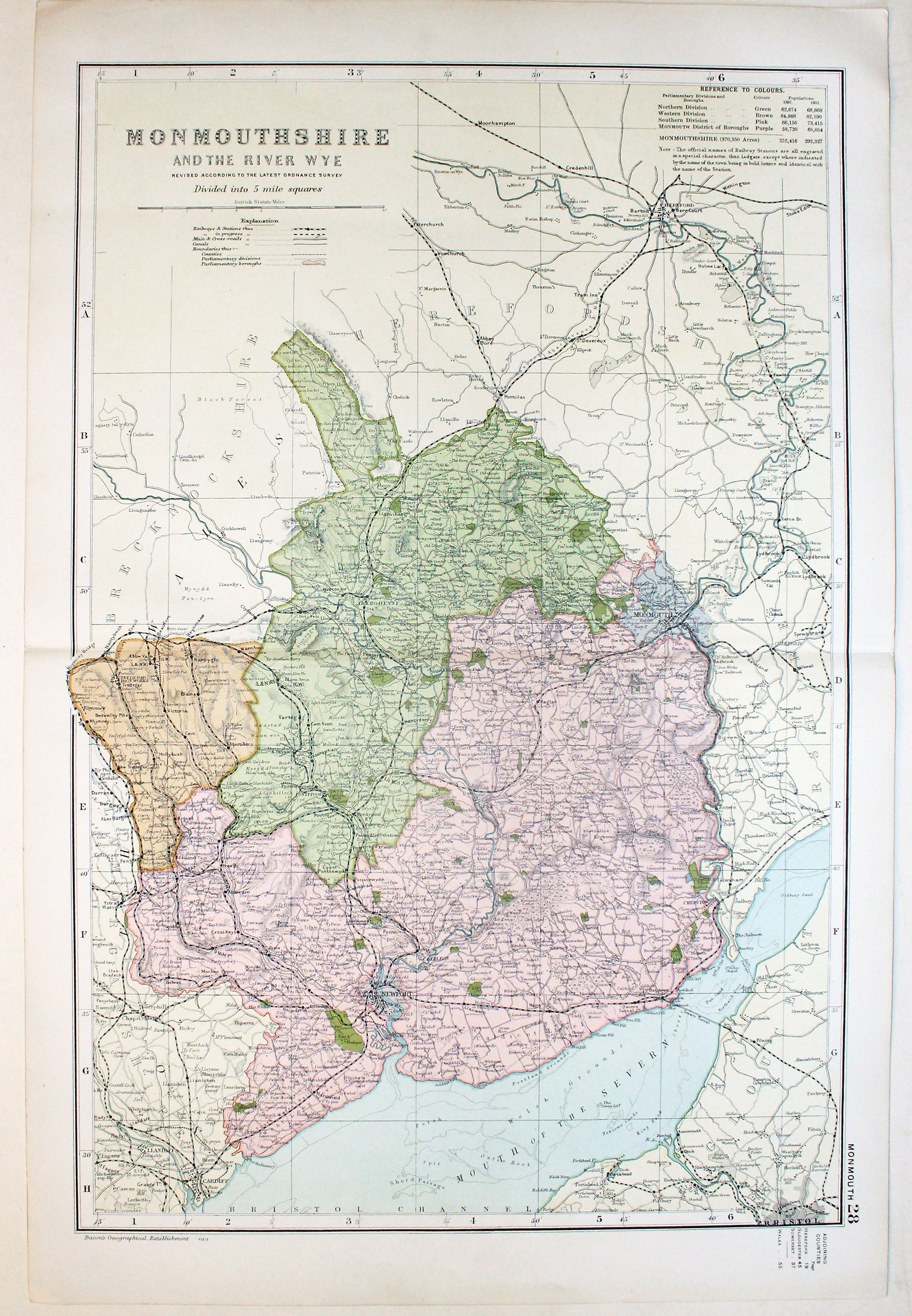
Monmouthshire by George Washington Bacon c.1898

32708 Monmouthshire, George Washington Bacon, c.1898. Price: 18.50
MONMOUTHSHIRE AND THE RIVER WYE. REVISED ACCORDING TO THE LATEST ORDNANCE SURVEY. DIVIDED INTO 5 MILE SQUARES
A good detailed late 19th century colour printed lithograph map of the county. Shows the railways. 12 x 18 inches. Original centre fold. Good condition.
19th Century - Early Hand Colouring
-

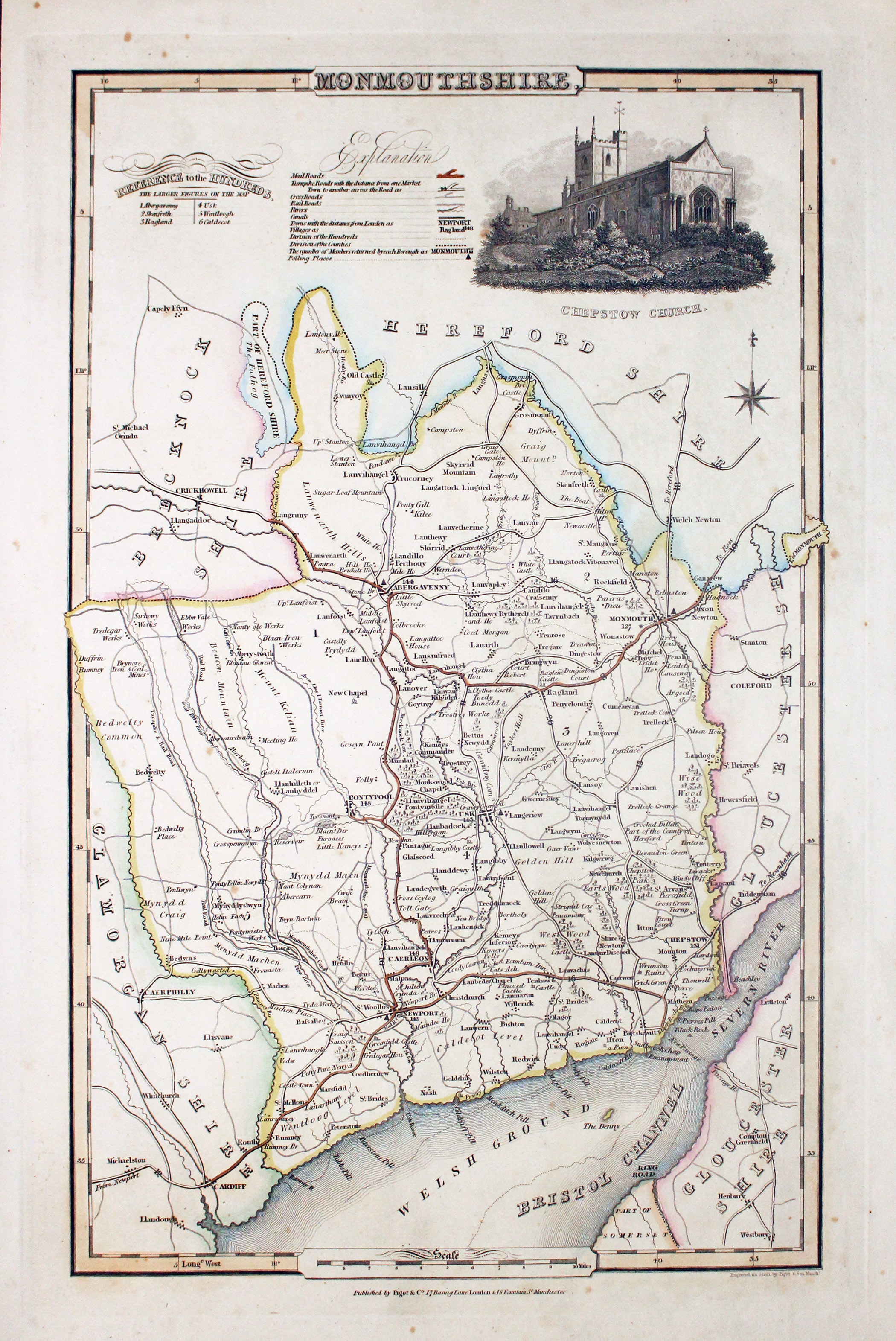
Map of Monmouthshire, James Pigot c.1830

32855 Monmouthshire, James Pigot, c.1830. Price: 49.00
MONMOUTHSHIRE
An engraved map of the county with title, scale, explanation and list of hundreds. Embellished with an uncoloured view of Chepstow Church. Imprint of the publishers Pigot & Co. 24 Basing Lane & 18 Fountains St. Manchester beneath. 8 3/4 x 14 inches. Original outline hand colouring. A few very small foxing spots in the blank margins otherwise good condition.
From: British Atlas
19h Century - Early Hand Colouring
-
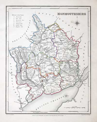
Map of Monmouthshire by Samuel Lewis 1848
32923 Monmouthshire, Samuel Lewis, 1848. Price: 19.00
MONMOUTHSHIRE
A county map drawn by R. Creighton and engraved by J. & C. Walker. Reference to the Unions. Scale. 7 x 9 inches. Original outline hand colouring. Good clean condition. Straight from the atlas and not sold as a single map before now.
From Lewis' Atlas to the Topographical Dictionaries of England and Wales

18th Century
-
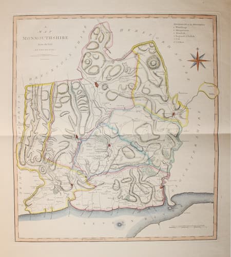
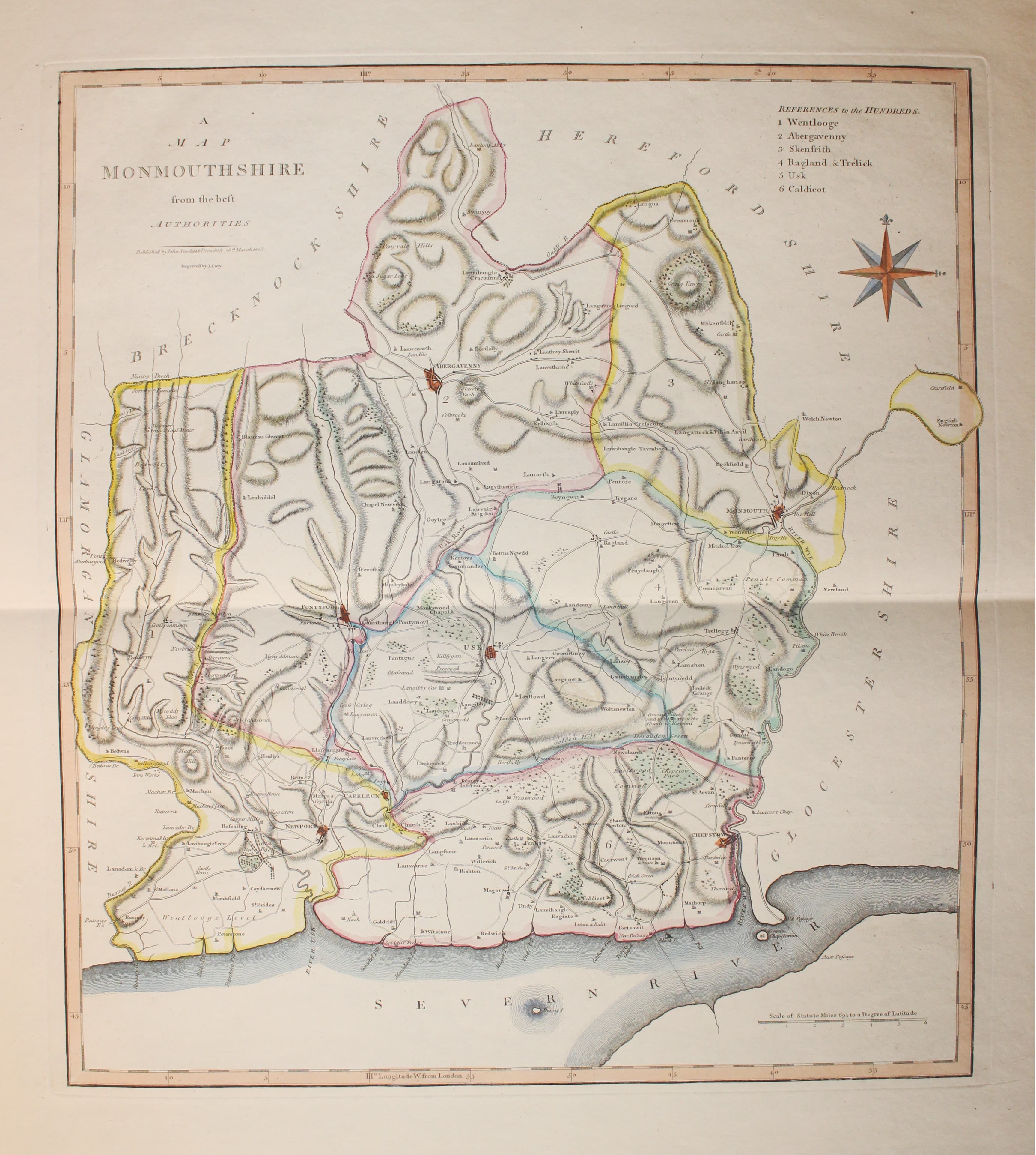
Map of Monmouthshire John Cary & John Stockdale c.1808

33121 Monmouthshire, John Cary & John Stockdale, c.1808. Price: 45.00
A MAP OF MONMOUTHSHIRE FROM THE BEST AUTHORITIES
A good detailed map of the county with publisher’s imprint dated 1805. 15 3/4 x 17 3/4 inches. Good clean condition with wide blank margins. Originally bound on edge so there is no centre fold but there is a light fold crease up the centre of the map. Paper Watermarked 1808. Later hand colouring.
From: New British Atlas published by John Stockdale, Piccadilly
18th Century
-

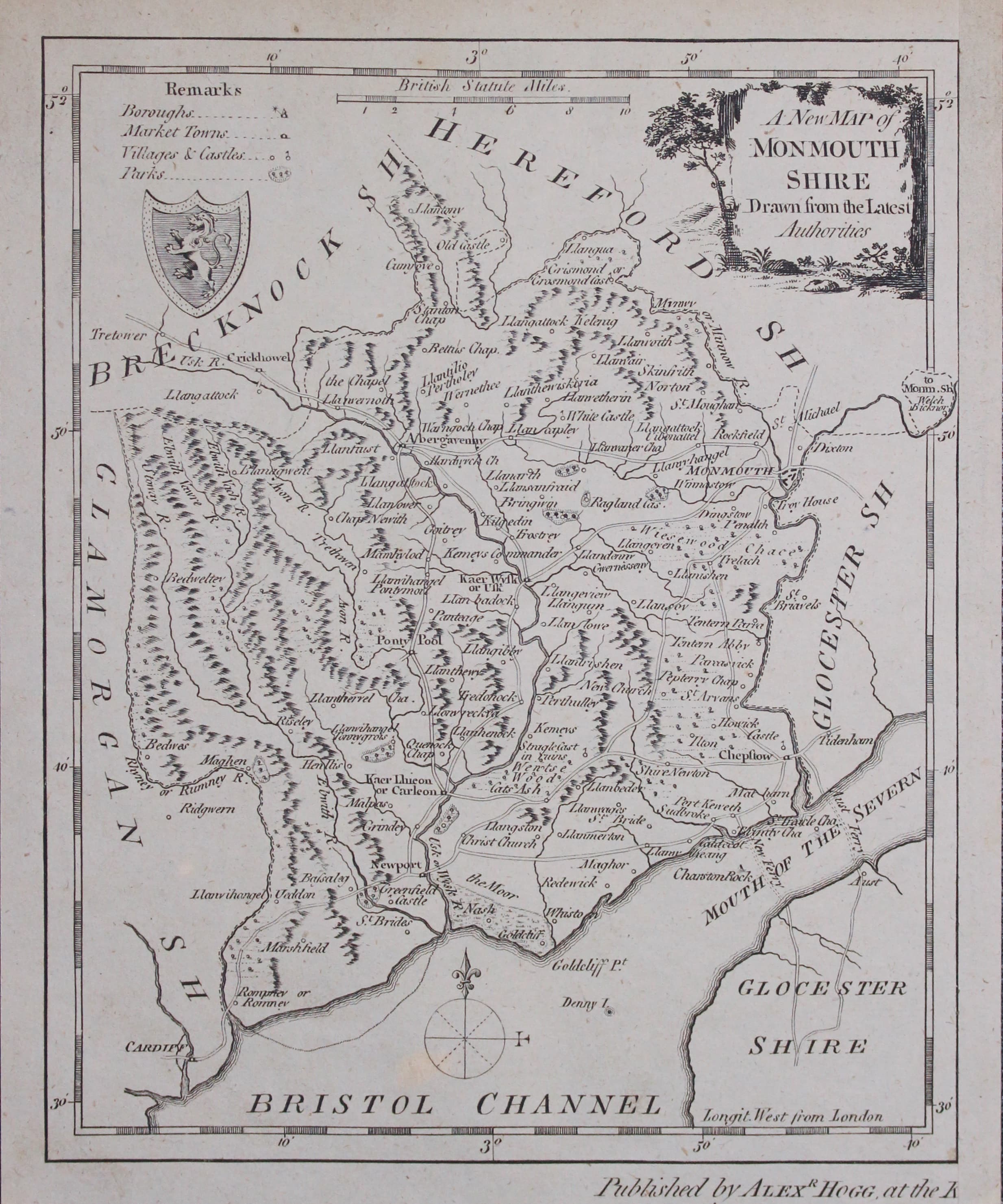
Map of Monmouthshire by George A Walpole 1794
33180 Monmouthshire, George A Walpole, 1794. Price: 28.00
A NEW MAP OF MONMOUTHSHIRE DRAWN FROM THE LATEST AUTHORITIES
An engraved county map with a pictorial title cartouche. Coat of arms and compass pointer. 6 1/4 x 7 inches, 160 x 195 mm. Uncoloured. Remargined on one side which is quite normal. Published by Alexander Hogg.
From: The New and Complete British Traveller

18th Century - First Edition
-

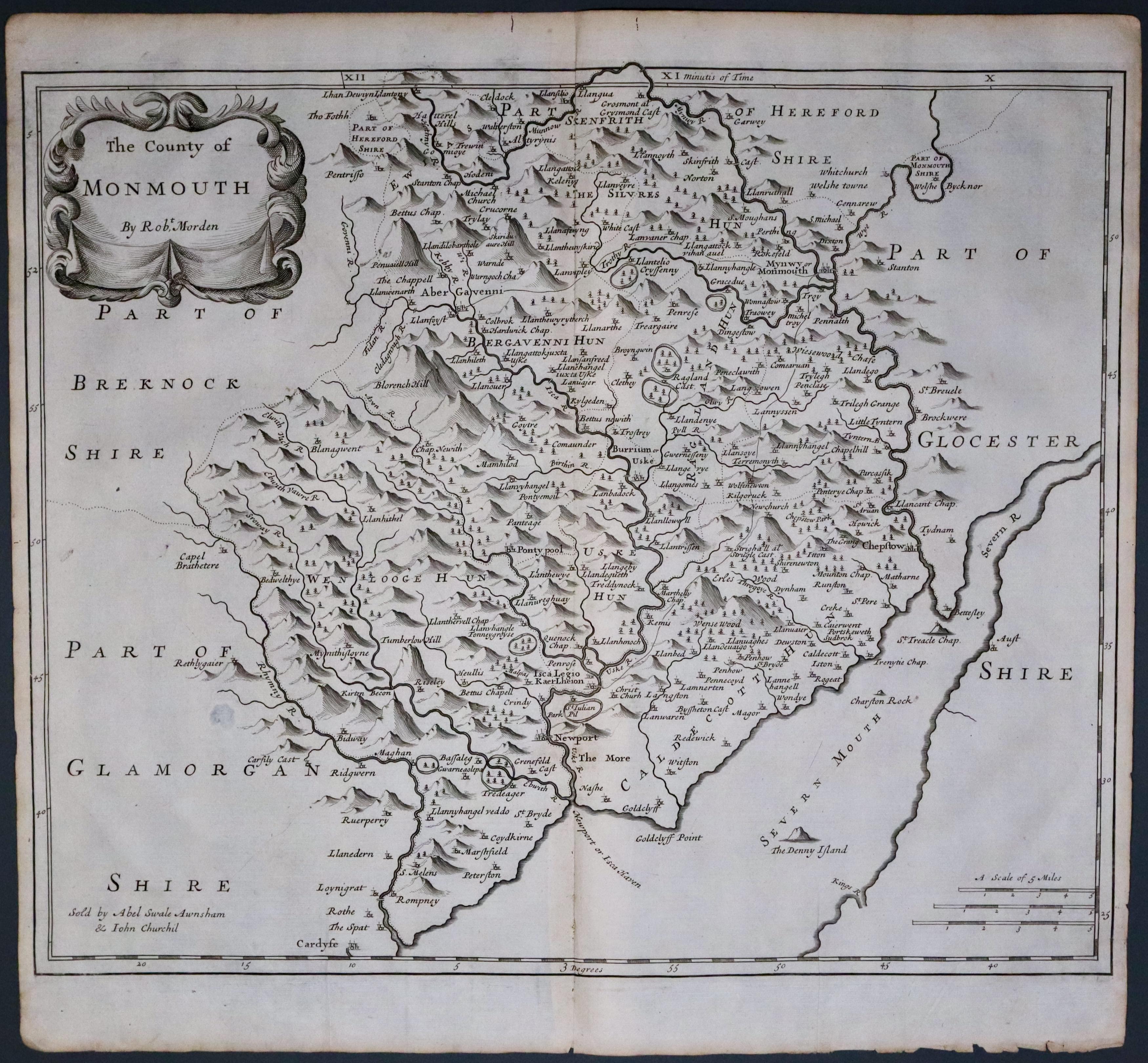
Monmouthshire, Robert Morden 1695
33511 Monmouthshire, Robert Morden 1695. Price: 65.00
THE COUNTY OF MONMOUTH BY ROBT. MORDEN
The FIRST EDITION of this good engraved late 17th century map of the county embellished with a decorative title cartouche. Three scales. Imprint of the publishers Abel Swale with Awnsham and John Churchill. 16 1/4 x 13 1/2 inches. Uncoloured. Two small worm holes in the top blank margin otherwise good condition. Nice strong impression. This map has been taken straight from the atlas and therefore not previously offered for sale as a single map.
From: Camden's Britannia.
