Antique Maps of Pembrokeshire
Richard Nicholson of Chester
A World of Antique Maps and Prints
Established in 1961
All the Maps on this page are guaranteed to be genuine early specimens
published in or around the year stated
Sea Chart - Fine Hand Colouring
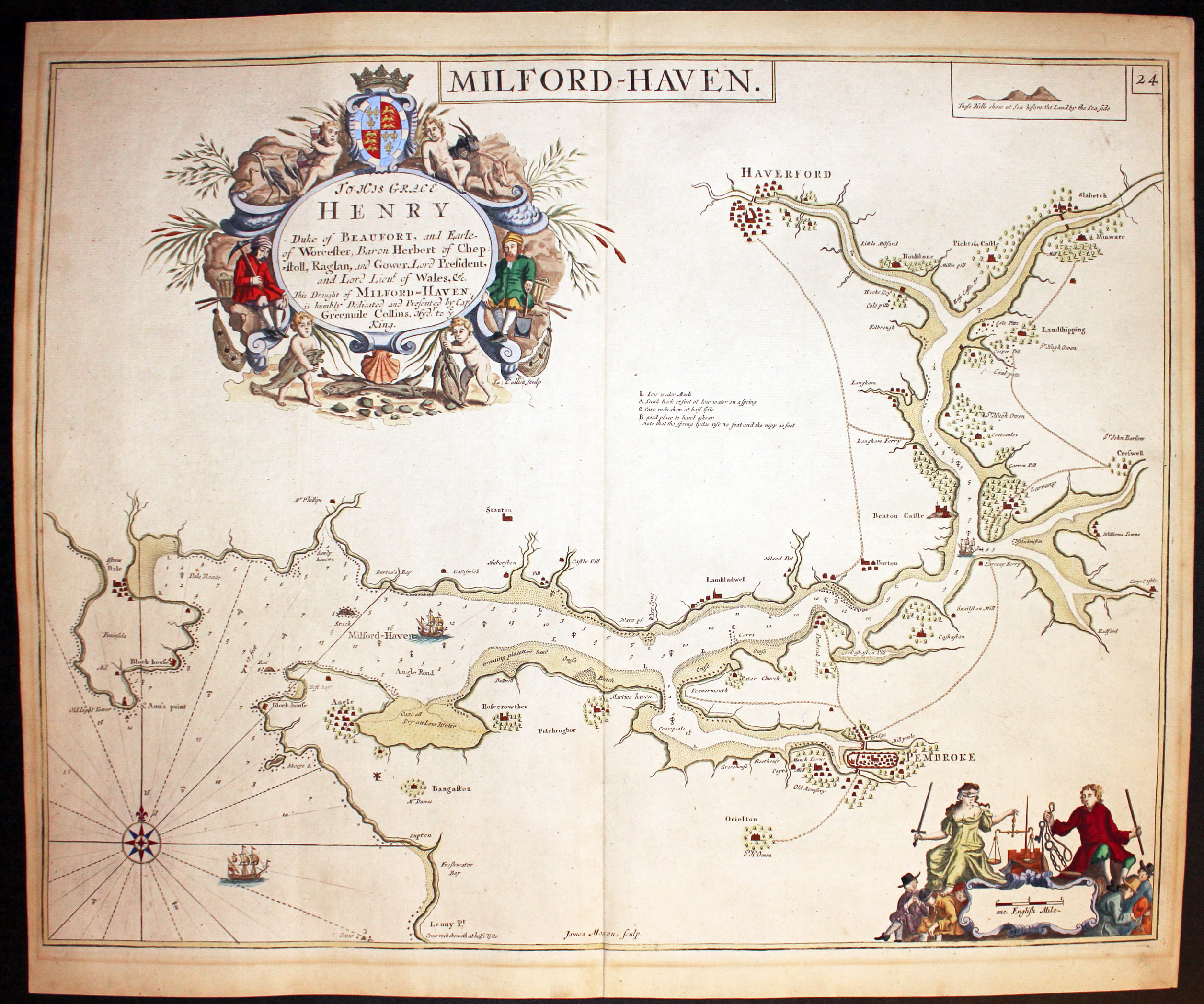
29238 Milford Haven, Captain Greenville Collins, c.1760. Price: 300.00
MILFORD HAVEN
A fine engraved chart showing the entrance to Milford Haven and continuing inland to Haverford. The title is displayed within a simple panel but the dedication to His Grace Henry Duke of Beaufort is displayed within a large decorative cartouche with figures of miners and putti. A second cartouche with figures displays the scale. 22 1/4 x 17 1/2 inches. Superb carefully crafted hand colouring. Original centre fold. Good clean condition.
From: Coasting Pilot
18th Century - Sea Chart
-

Milford Haven, Captain Greenville Collins, c.1760

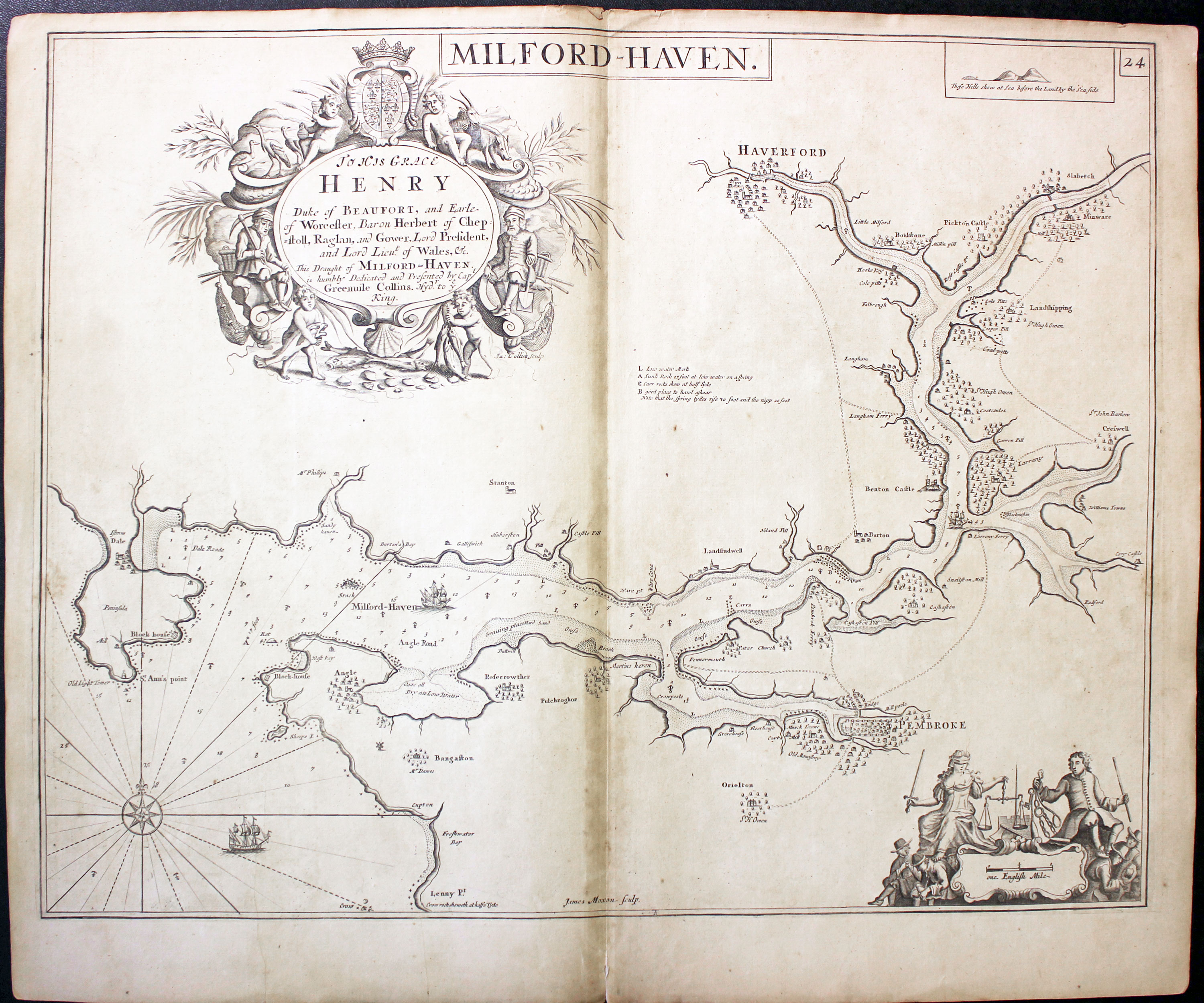
31029 Milford Haven, Captain Greenville Collins, c.1760. Price: 150.00
MILFORD HAVEN
A fine chart of Milford Haven with Haverfordwest and Pembroke. Engraved by James Moxon. The dedication to the Duke of Beaufort is displayed within a large decorative cartouche with putti, figures and coat of arms. 22 x 17 inches. Uncoloured. Good condition.
From : Coasting Pilot
18th Century - Road Map
-

Map of Cornwall by Thomas Letts 1884
-

Map of Cornwall by Thomas Letts 1884
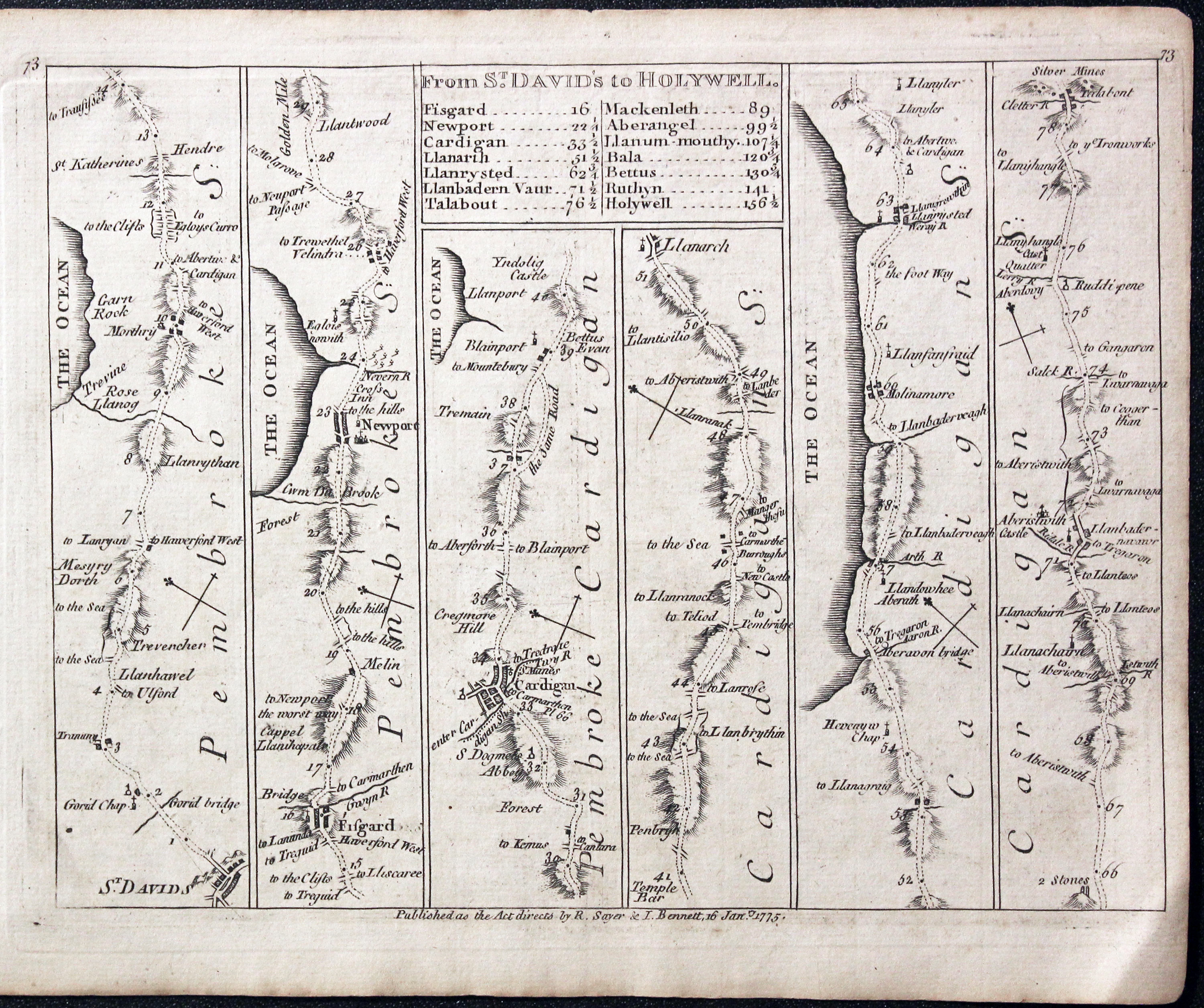
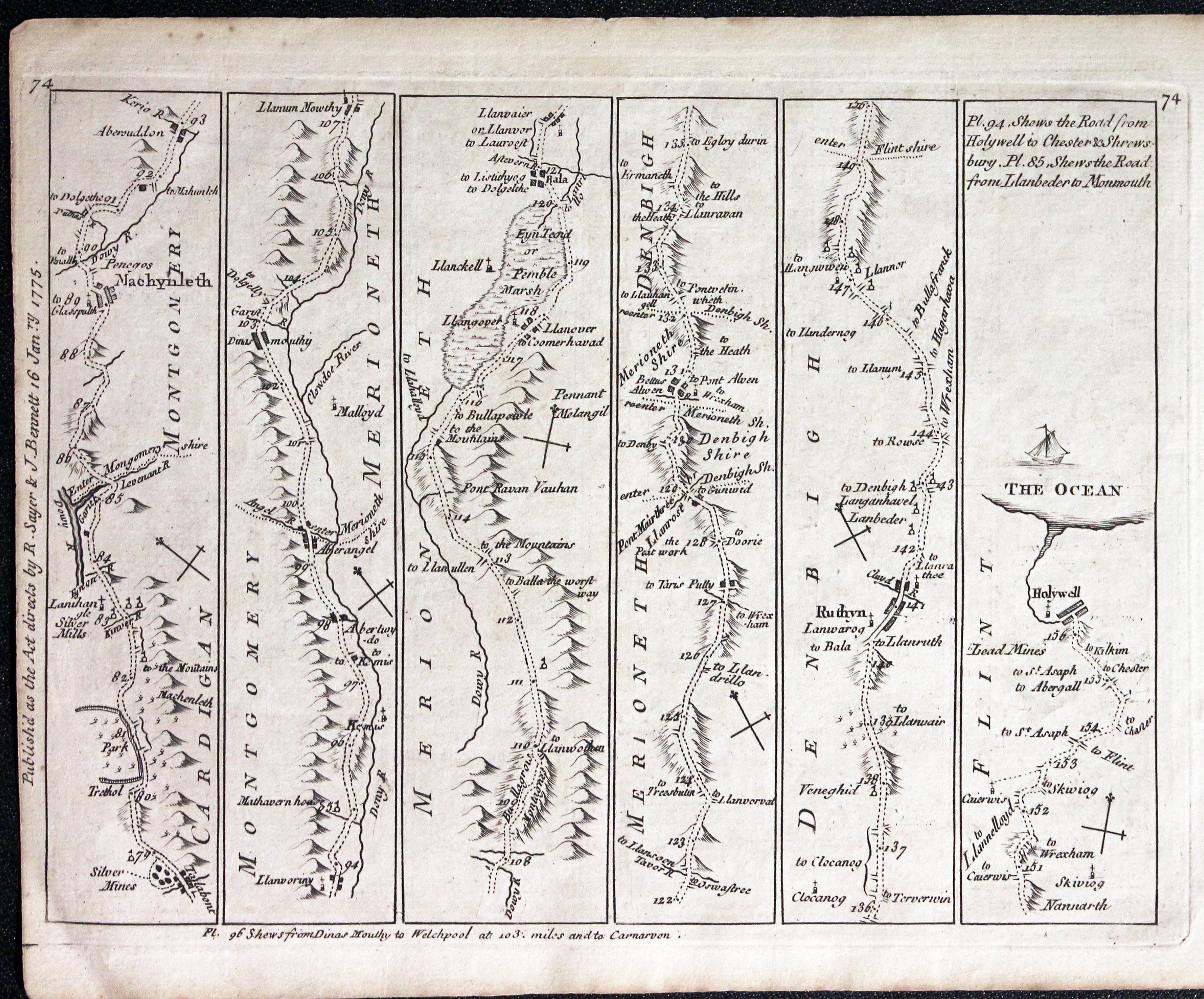
32346 St. David's to Holywell, Thomas Jefferys, 1776. Price: 40.00
FROM ST. DAVID’S TO HOLYWELL
A double sided strip road map, each side having 6 strips. Plate 73/74. It shows the route from St.David’s to Fishguard, Newport, Cardigan Machynlleth, Ruthin to Holwell. The title panel gives a list of towns and distances. An interesting map of the medieval Pilgrim Way. Impriny of Sayer and Bennett dated 1775. 8 x 6 inches. Uncoloured. Binding holes in the wide side margin. Good condition.

19th Century - Early Hand Colouring
-

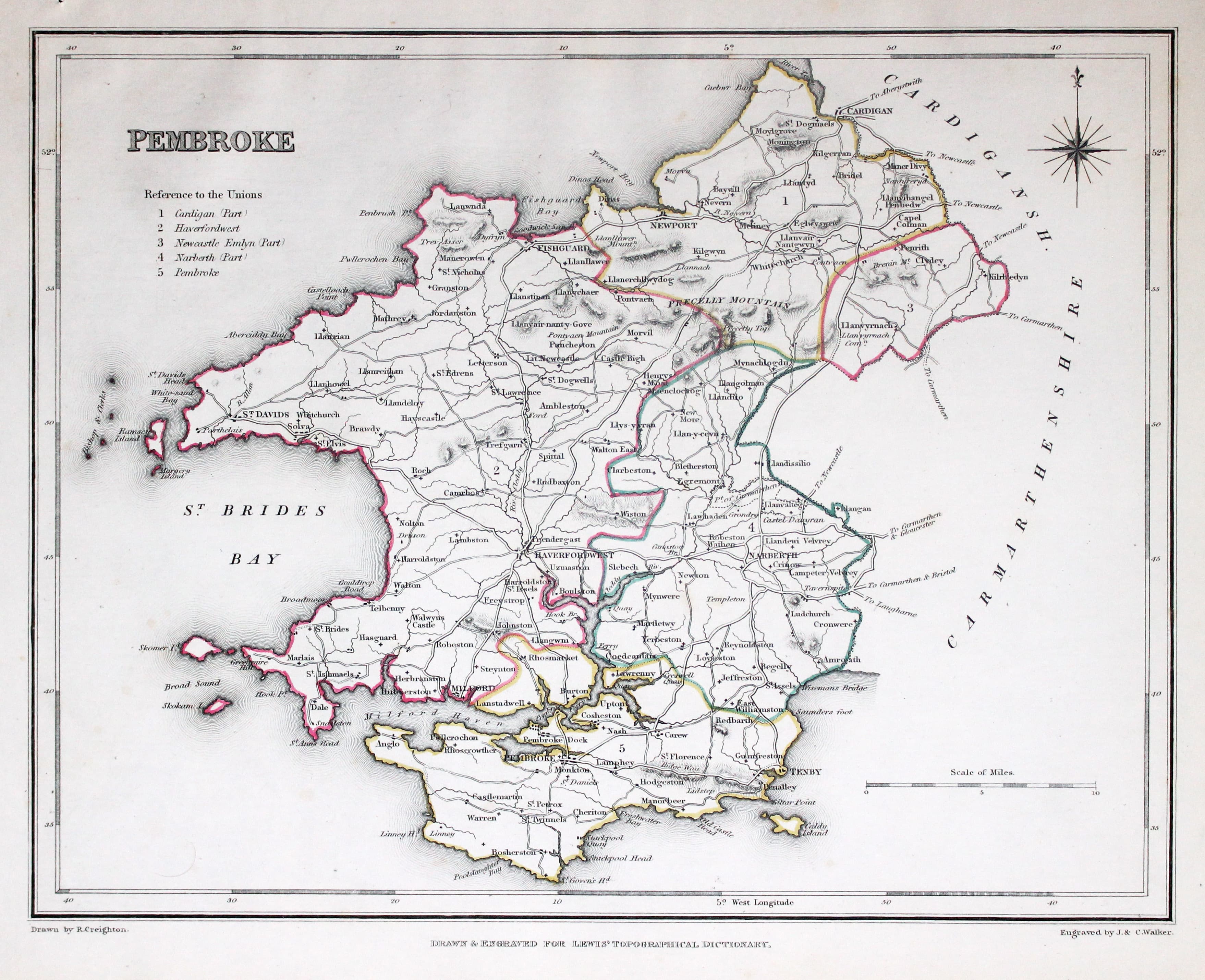
Map of Pembrokeshire by Samuel Lewis 1848

32930 Pembrokeshire, Samuel Lewis, 1848. Price: 25.00
PEMBROKESHIRE
A county map drawn by R. Creighton and engraved by J. & C. Walker. Reference to the Unions. Scale and compass rose. 9 1/2 x 7 1/4 inches. Original outline hand colouring. Good clean condition. Straight from the atlas and not sold as a single map before now.
From Lewis' Atlas to the Topographical Dictionaries of England and Wales
18th Century
-

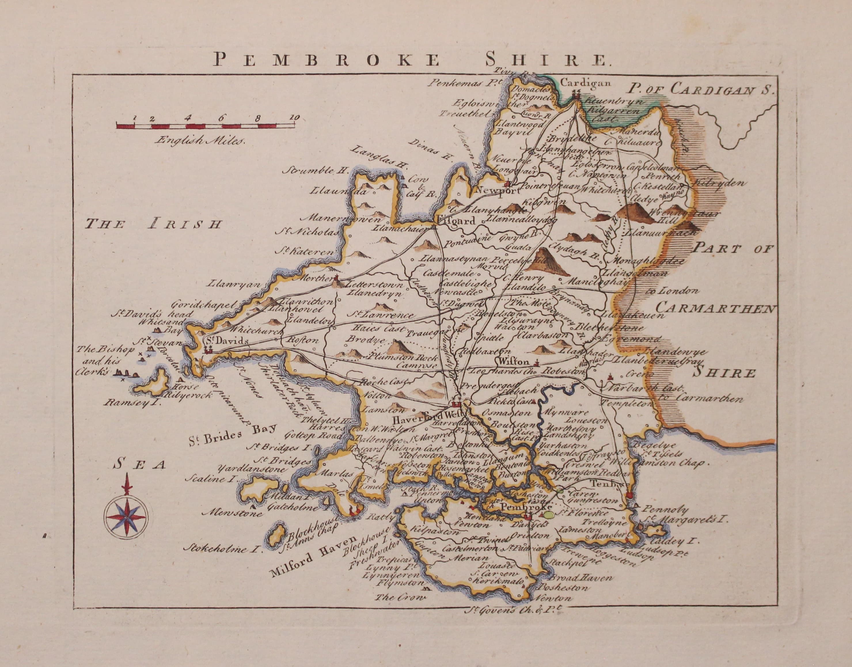
Map of Pembrokeshire by John Rocque 1769

33166 Pembrokeshire, John Rocque, 1769. Price: 36.00
PEMBROKE SHIRE
An engraved map of the county with the main coach roads. The title appears above the map. Compass rose and scale. 7 3/4 x 6 inches, 197 x 150 mm. Hand coloured. Good clean undamaged condition.
From England Displayed
18th Century - County and Road Map
-

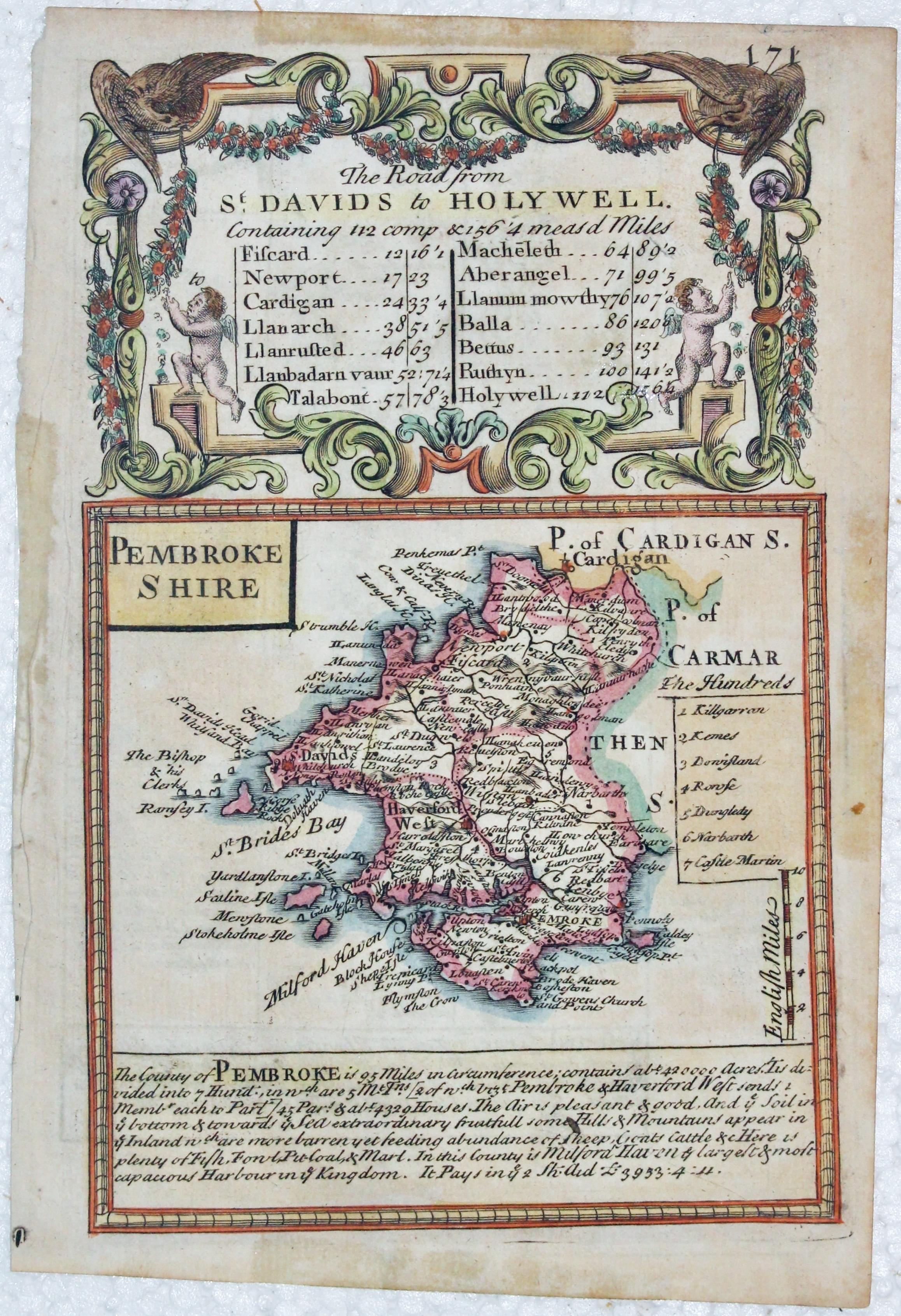
Map of Pembrokeshire by John Owen and Emanuel Bowen, c.1730
-
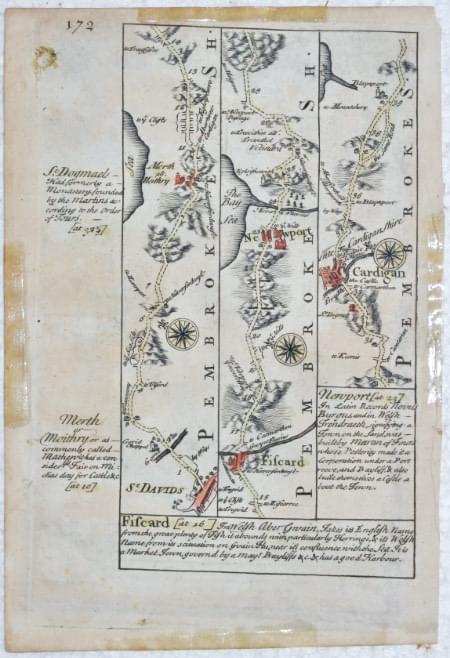
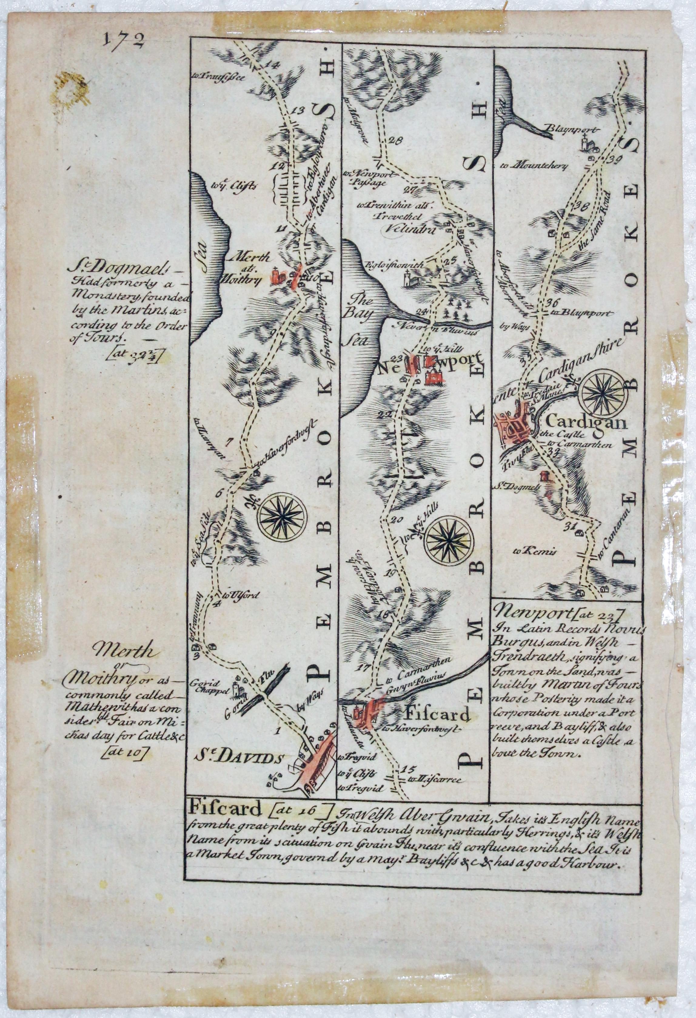
Road map from St. Davids to Cardigan by John Owen and Emanuel Bowen, c.1730
33193 Pembrokeshire, John Owen and Emanuel Bowen, c.1730. Price: 14.00
PEMBROKESHIRE
An engraved county map with description below and surmounted by a baroque cartouche titled The Road from St. Davids to Holywell. On the verso is a strip road map from St. Davids to beyond Cardigan. 4 x 7 inches. Hand coloured. Lightly toned. Traces of sellotape stains on the the four edges where the map has been in a sunk mount.
From: Britannia Depicta

18th Century County & Roads
-

Pembrokeshire, John Owen & Emanuel Bowen c.1730
25910 Pembrokeshire, John Owen and Emanuel Bowen, c.1730. Price: 40.00
PEMBROKESHIRE An engraved county map with description below and surmounted by a baroque cartouche titled The Road from St. Davids to Holywell. On the verso is a strip road map from St. Davids to beyond Cardigan. 4 x 7 inches. The county map has attractive later hand colouring and the road map on verso is uncoloured. Good clean condition. Presented in a 2 3/4 inch ivory tint sunk mount.
From: Britannia Depicta

