Looking after you Antique Maps
Richard Nicholson of Chester

Established in 1961
A World of Antique Maps and Prints

Care and Common Sense
Antique maps are delicate historical documents and should be handled and displayed with care to prevent damage. Avoid hanging them in direct sunlight, Keep maps away from damp or humid environments, since moisture can cause mould growth or staining. Ideally, store or display antique maps in a cool, dry place with stable temperature and humidity. When handling them, make sure your hands are clean and dry, or use cotton gloves to prevent oils and dirt from transferring to the paper. If possible, frame maps using acid-free mounts and UV-protective glass to help preserve them for the future.
County Maps
L - M
Guide to Collecting County Maps
If your Interest is British County maps then you will probably find my ongoing project to offer more information on the amazing cartographers whose works you might want to collect. Still in its infancy and a lot of work to do but please check it out.
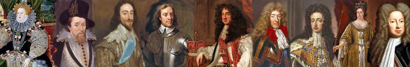
YOU CAN COLLECT ORIGINAL ANTIQUE MAPS PUBLISHED IN ALL THESE PERIODS OF ENGLISH HISTORY
RICHARD NICHOLSON
of CHESTER
Stoneydale
Pepper Street
Christleton
Chester
CH3 7AG
Telephone
01244 336004
International 44 1244 336004

I have been buying and selling antique maps since the early 1960's during which time I had a gallery in Watergate Street, Chester for 30 years. I am now able to offer through my websites a personal service to map and print collectors.

