Road Maps by Thomas Kitchin 1767
& John Senex 1719
Richard Nicholson of Chester
A World of Antique Maps and Prints
Established in 1961
All the Maps on this page are guaranteed to be genuine early specimens
published in or around the year stated
THOMAS KITCHIN
A series of double sided Road Maps of England and Wales
Each measuring about 8 x 6 inches. Each map is made up of usually six panels with some having a central title panel.
They come from
Kitchin's Post-Chaise Companion through England and Wales published in London in 1767
The following Thomas Kitchin Road Maps are currently in stock. They are all guaranteed to be genuine early specimens. All in good clean condition unless otherwise stated and attractively hand coloured
-
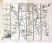
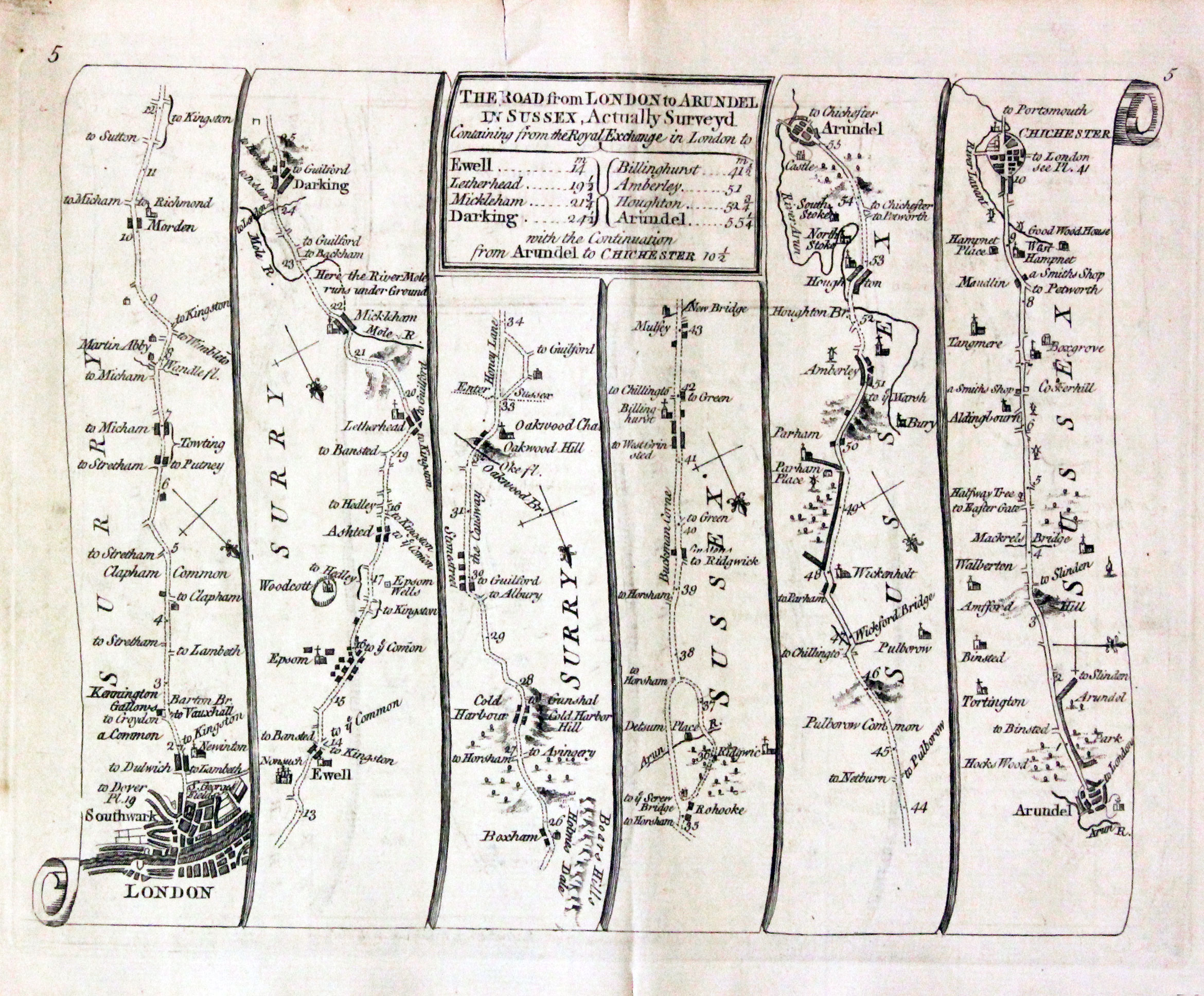
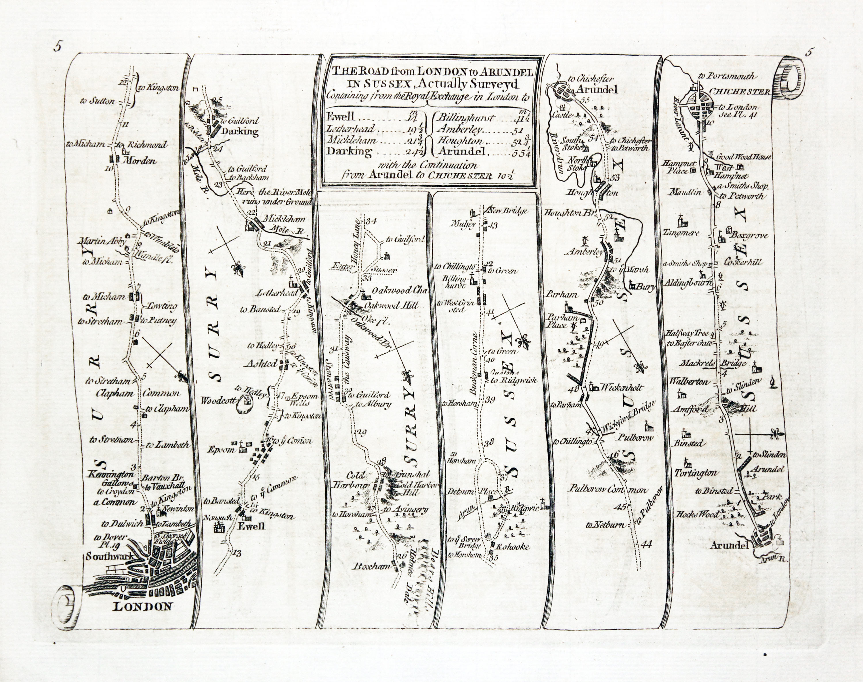
Road London to Arundel, Thomas Kitchin 1767
27076 Plate 4/5 Price: 29.00
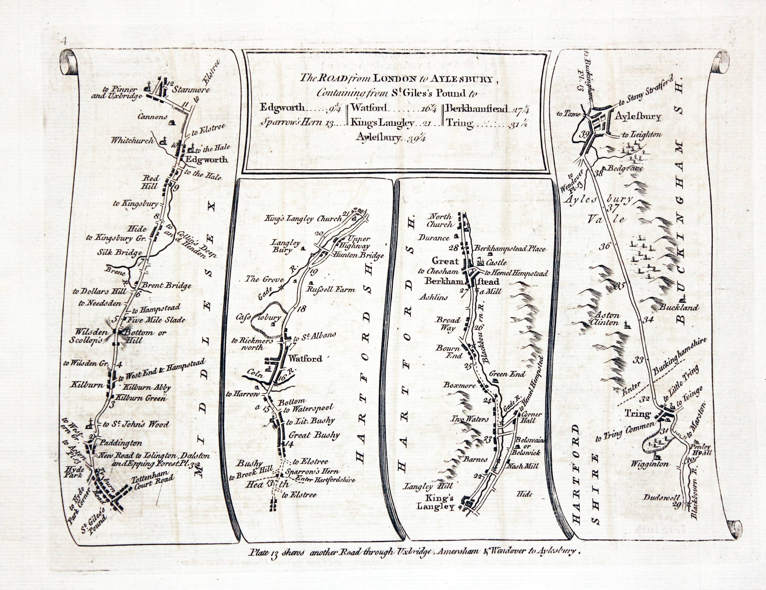
THE ROAD from LONDON to ARUNDEL IN SUSSEX. London, Ewell, Boxham, Arunddel. Arundel, Chichester. THE ROAD from LONDON to AYLESBURY Containing ffrom ST. GILES’S POUND... Tottenham Court Road, Edgworth, Watford, Kings Langley, Berhamstead, Tring, Aylesbury.
Double sided road map. 7 1/2 x 6 inches. Uncoloured. Small single tears in top and bottom blank margins repaired.
From: Kitchin's Post-Chaise Companion through England and Wales
-

Road from London to Aylesbury, Thomas Kitchin 1767
-

Road from London to Chichester, Thomas Kitchin 1767

28016 Plate 4/5 Price: 48.00
Side 4 The Road from LONDON to AYLESBURY Continuing from St. Giles's Pound to ....
Tottenham Court Road, Edgworth, Watford, Kings Lanley, Berkhamsted, Tring, Aylesbury
Side 5.The Road from LONDON to ARUNDEL IN SUSSEX, Actually Surveyd
London, Morden, Ewell, Arundel, Chichester
-

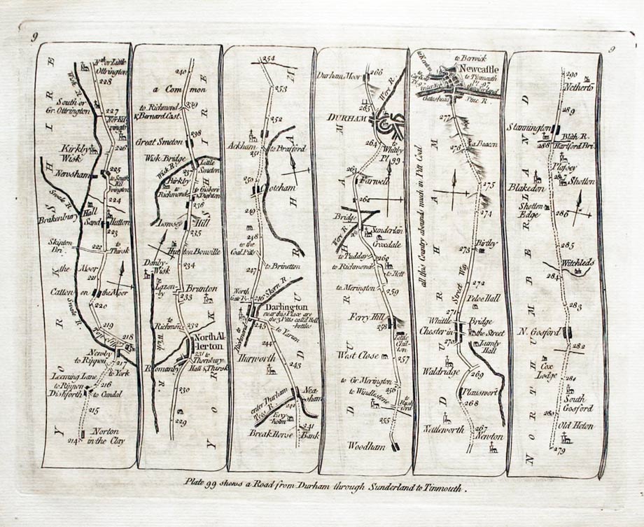
Road map Bawtry to Boroughbridge Thomas Kitchin 1767

28018 Plate 8/9 Price: 42.00
Side 8. Untitled. Bawtry, Doncaster, Sherborne, Tadcaster, York, Boroughbridge,
Side 9. Untitled Newby, North Allerton, Darlington, Durham, Newcastle, Stannington
-
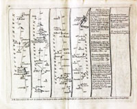
Road Map London to Bristol, Thomas Kitchin 1767
27060 Plate 10 / 11 Price: 38.00
Side 10. Untitled Morpeth, Alnwick Belford, Berwick.
Side 11. The ROAD from LONDON to BRISTOL and thence to HUNTSPIL in SOMERSET SHIRE London Hounslow, Reading, Hungerford, Marlborough.
Double sided road map. 7 x 6 inches. Uncoloured. Small nick in the top blank margin. Otherwise good condition.
From: Kitchin's Post-Chaise Companion through England and Wales
-

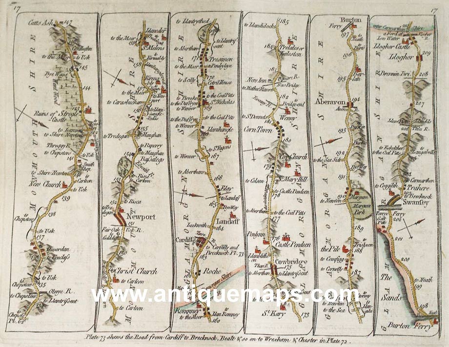
Road Map Abingdon to Sewansea, Thomas Kitchin 1767
27057 Plate 16/17 Price: 44.00
Abingdon. Faringdon, Lechlade, Gloucester, Micheldean, Colford, Monmouth Newpost, Cardiff, Llandaff, Cowbridge, Aberavon, Swansea
Hand coloured
-
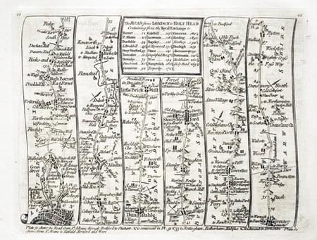
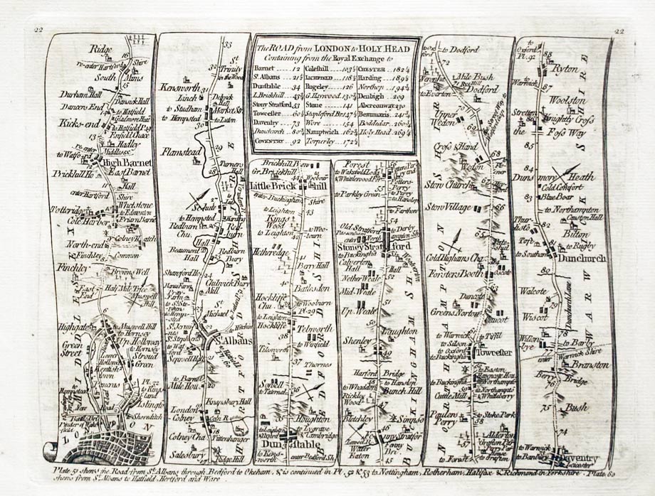
Road map from Coventry to Chester, Thoimas Kitchin 1767

28025 Plate 22/23 Price: 45.00
The ROAD from LONDON to HOLYHEAD London, Barnet, St. Albans, Dunstable, Stony Stratford, Towcester, Daventry, Ryton Coventry, Meriden, Lichfield, Rugeley, Stone, Nantwich, Chester
-
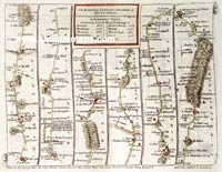
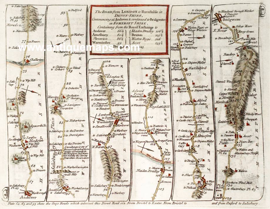
Road from Newington to Snaresbrook, Thomas Kitchin 1776
27052 Plate 32/33 Price: 44.00
The Road from LONDON to RYEGATE in SURREY. The NEW ROAD from PADDINGTON to EAGLE on EPPING FORREST
Newington, Stockwell, Lower Mitcham, Ryegate. Paddington, Islington, Hackney, Snaresbrook ** The Road from LONDON to BARNSTAPLE in DEVONSHIRE**
Andover, Warminster, Bridgwater
Hand coloured
-

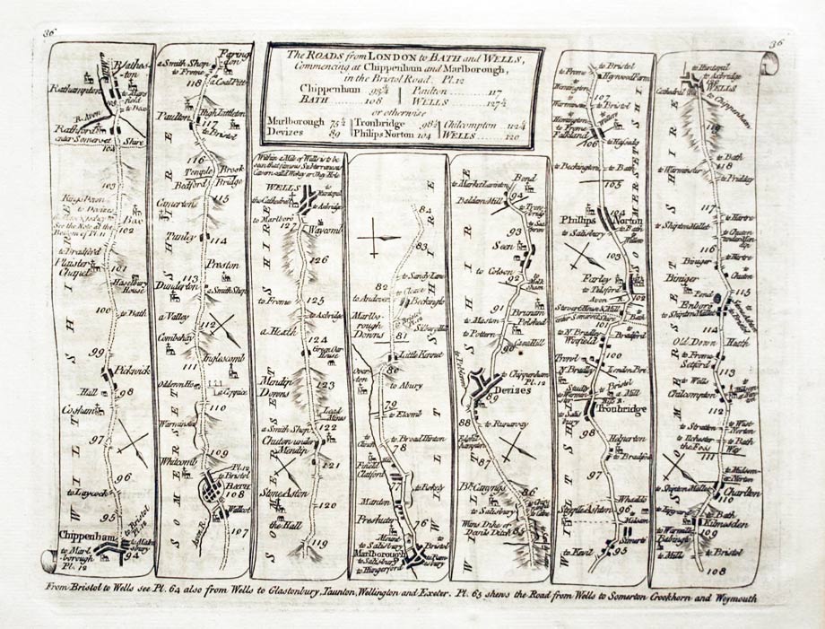
The road from Ferrybridge to Wakefield, Thomas Kitchin 1767

28032 Plate 36/37 Price: 44.00
Side 36. The Roads from LONDON to BATH and WELLS, commencing at CHIPPENHAM and MARLBOROUGH
Chippenham, Bath, Wells. Marlborough, Devizes, Phillips Norton, Wells.
Side 37. The Road from LONDON to BERNARDS CASTLE in the Bishoprick of Durham
Ferrybridge, Abertford, Boroughbridge, Ripon, Richmond, Barnard Castle. Ferybridge, Wakefield.
-

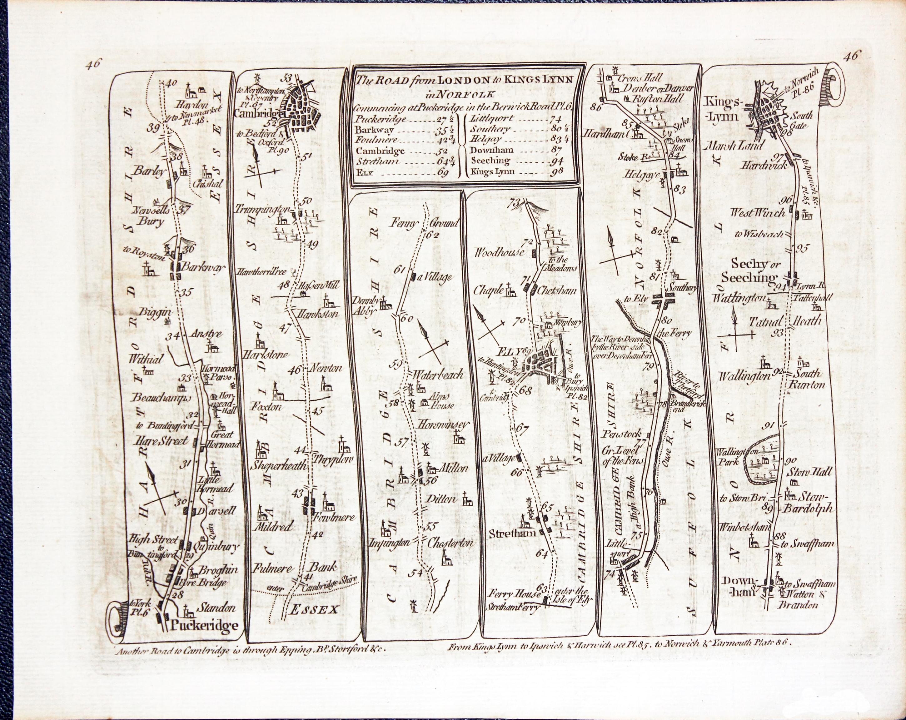
Road from Puckeridge to Lings Lynn, Thomas Kitchin 1767
-
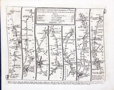
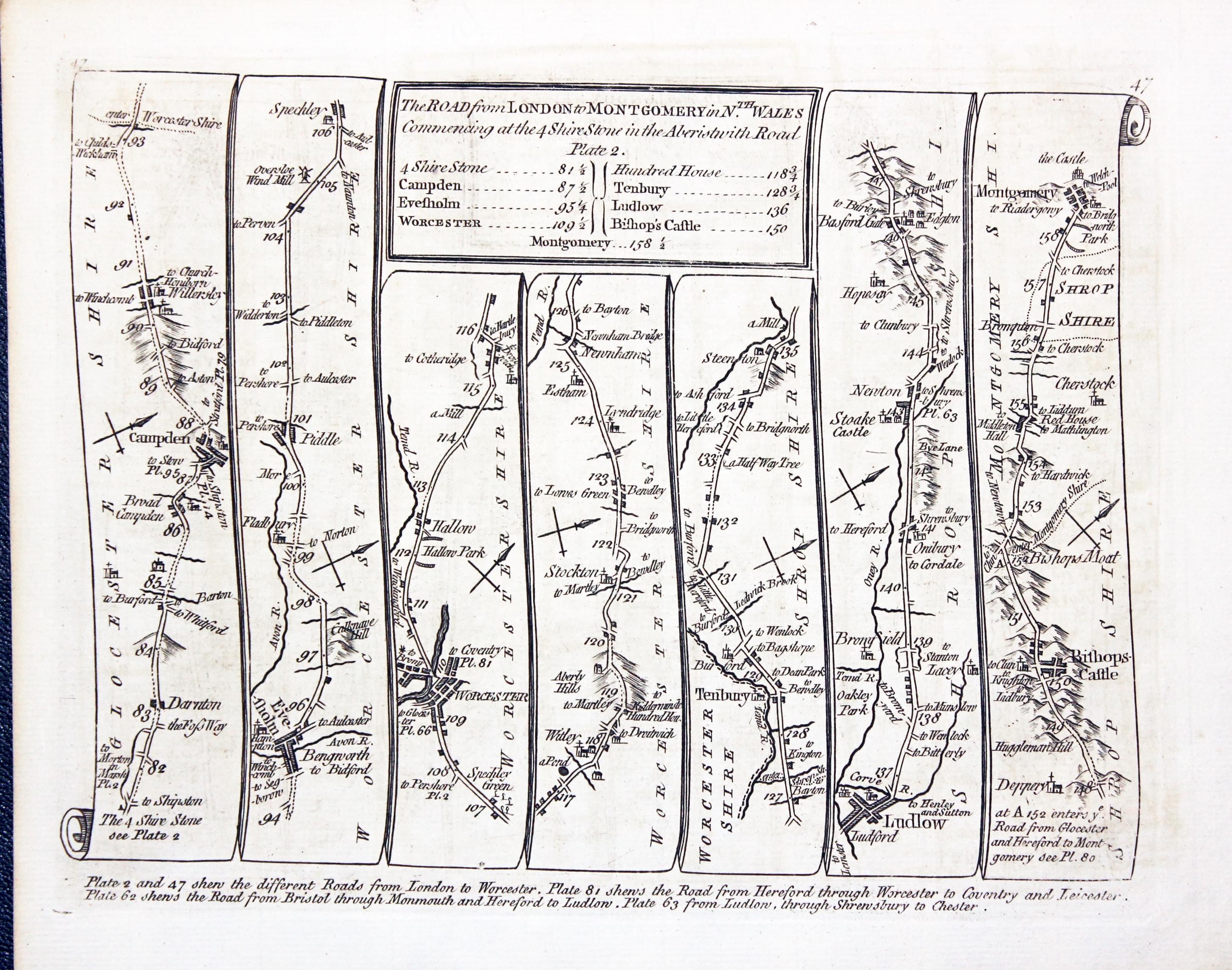
Road from Campden to Montgomery, Thomas Kitchin 1767
28037 Plate 46/47 Price: 44.00
47 The Road from LONDON to KINGS LYNN in Norfolk commensing at Puckeridge in the Berwick Road Plt. 6
Puckeridge, Cambridge, Ely, Downham, Kings Lynn.
48 The Road from LONDON to MONTGOMERY in Nth. Wales commencing at the 4 Shire Stone in the Aberistwith Road.
Campden, Worcester, Tenbury, Ludlow, Bishop's Castle, Montgomery

-

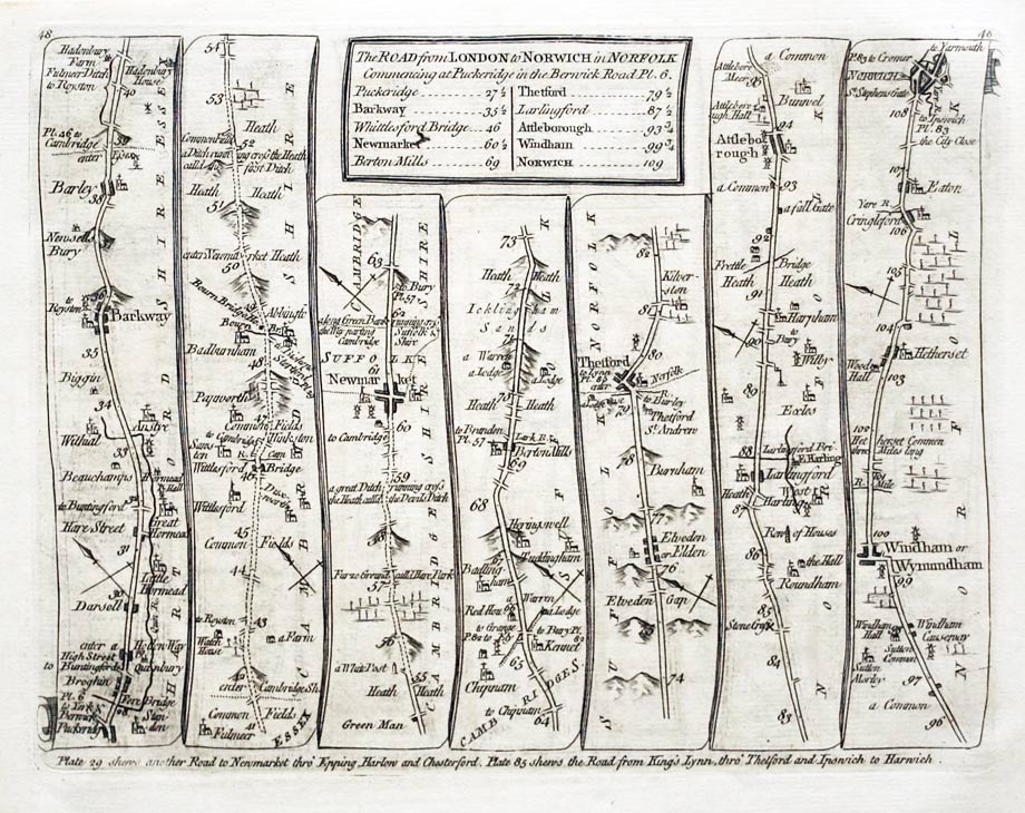
Road from London to Norwich, Thomas Kitchin 1767
-
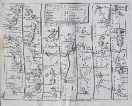
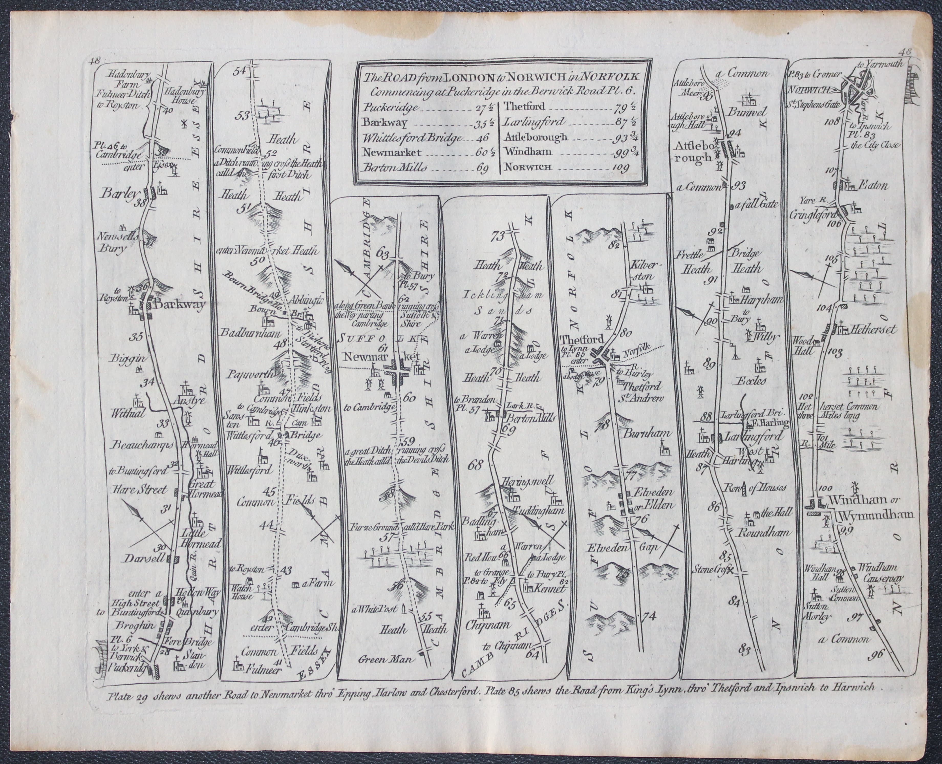
Road from London to Norwich, Thomas Kitchin 1767
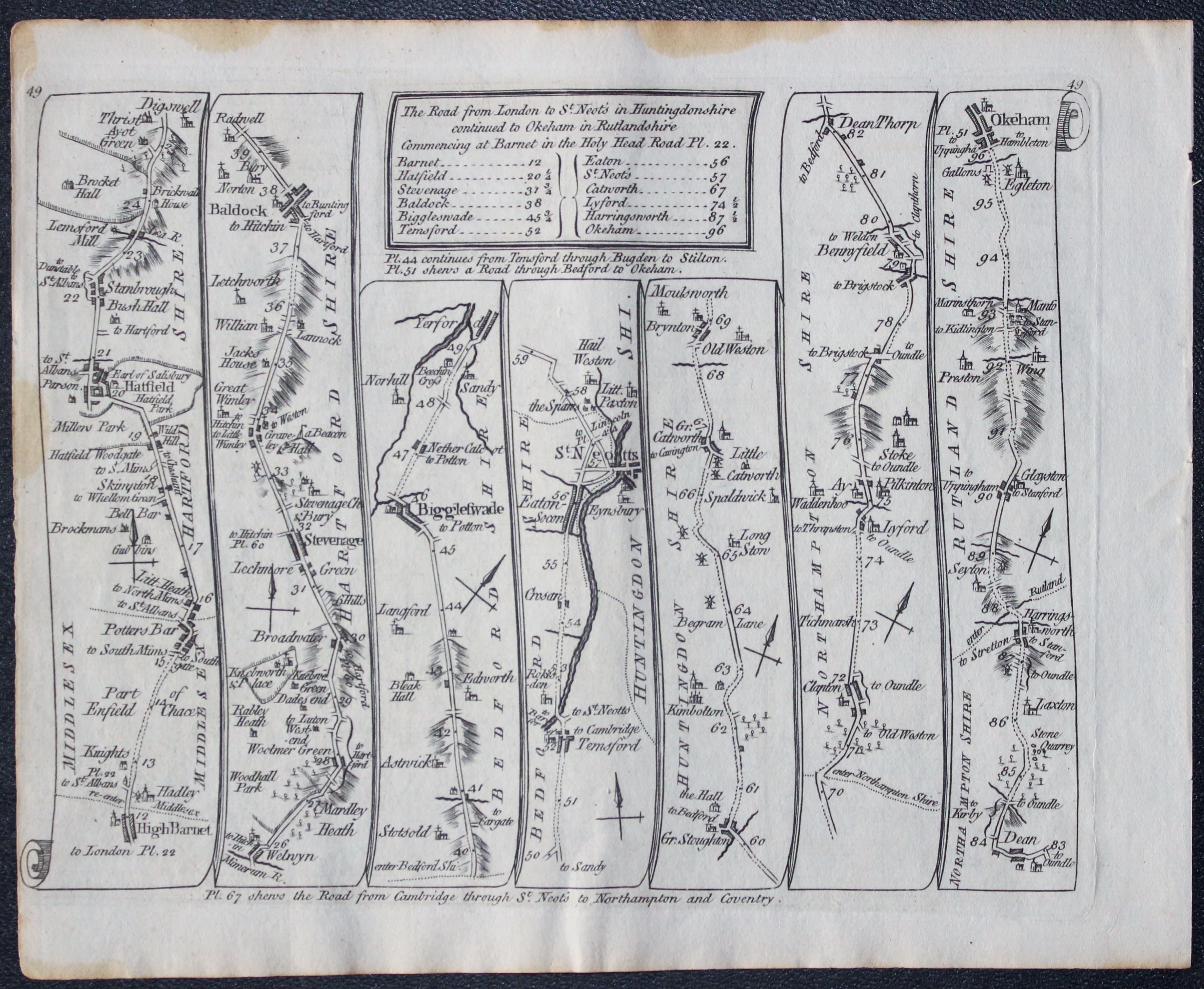
27073 Plate 48/49 Price: 36.00
TThe Road from London to Norwich in Norfolk commencing at Puckeridcge
Puckeridge, Barkway, Newmarket, Thetford, Attleborough, Wymondham, Norwich.
The Road from St. Neotes in Huntingdonshire continuted to Oakham in Rutlandshire
High Barnet, Hatfield, Welwyn, Stevenage, Baldock, Biggleswade, St. Neotts, Oakham
Uncoloured
-
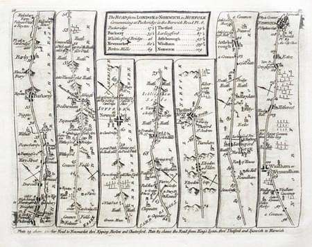
Road from Puckeridge to Norwich, Thomas Kitchin 1767

28038 Plate 48/49 Price 40.00
The Road from LONDON to NORWICH in Norfolk. Commencing at Puckeridge in the Berwick Road Pl. 6. Puckeridge, Barkway, Newmarket, Thetford, Attleborough, Wymondham, Norwich
The Road from LONDON to ST NEOTS in Huntingdonshire continued to Oakham in Rutlandshire High Barnet, Hatfield, Stevenage, St. Neots, Catworth, Oakham.
-

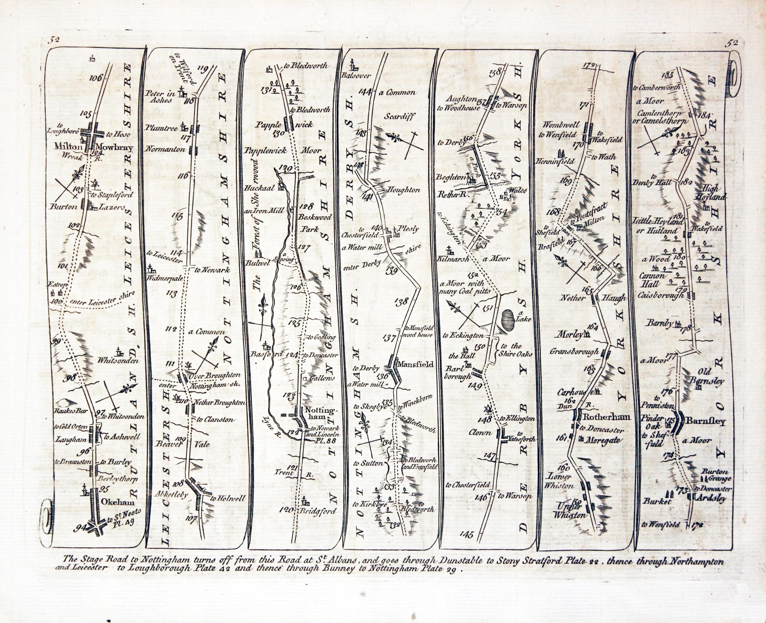
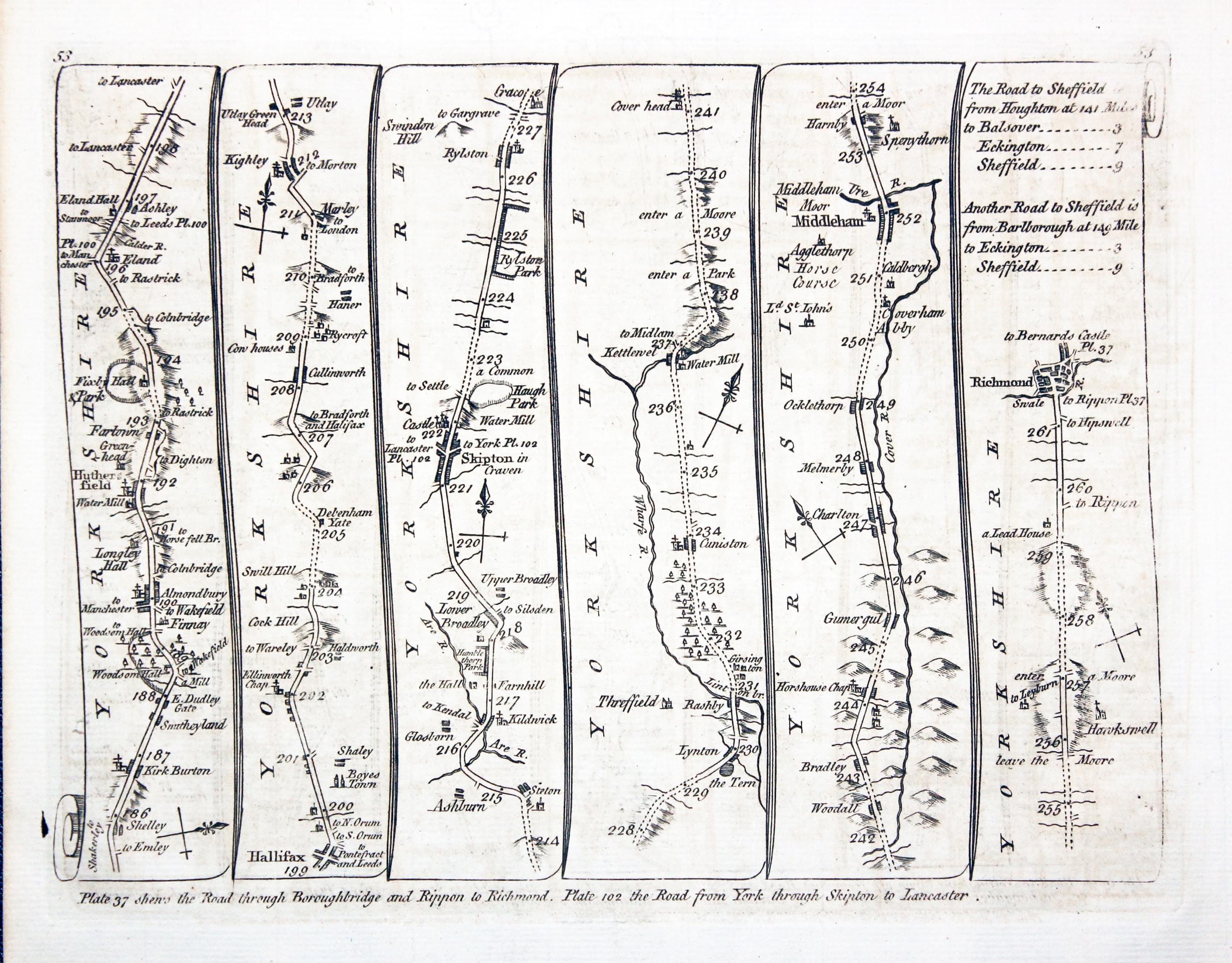
Road from Oakham to Richmond, Thomas Kitchin 1767
-
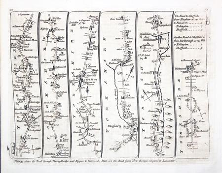
Road from Huddersfield to Richmond, Thomas Kitchin 1767
28040 Plate 52/53, Thomas Kitchin, 1767. Price: 45.00
52. Untiled
Oakham, Melton Mowbray, Nottingham, Mansfield, Rotherham, Barnsley ** 53. Untitled** Huddersfield, Halifax, Skipton, Middleham, Richmond
A double sided road map. 7 1/2 x 6 inches. Six panels showing the route. Uncoloured. Fine condition.
From: Kitchin's Post-Chaise Companion through England and Wales
-

Road from Oakham to Richmond, Thomas Kitchin 1767
-

Road from Huddersfield to Richmond, Thomas Kitchin 1767
28040 Plate 52/53 Price: 40.00
Side 52. Untiled
Oakham, Melton Mowbray, Nottingham, Mansfield, Rotherham, Barnsley
Side 53. Untitled
Huddersfield, Halifax, Skipton, Middleham, Richmond

-

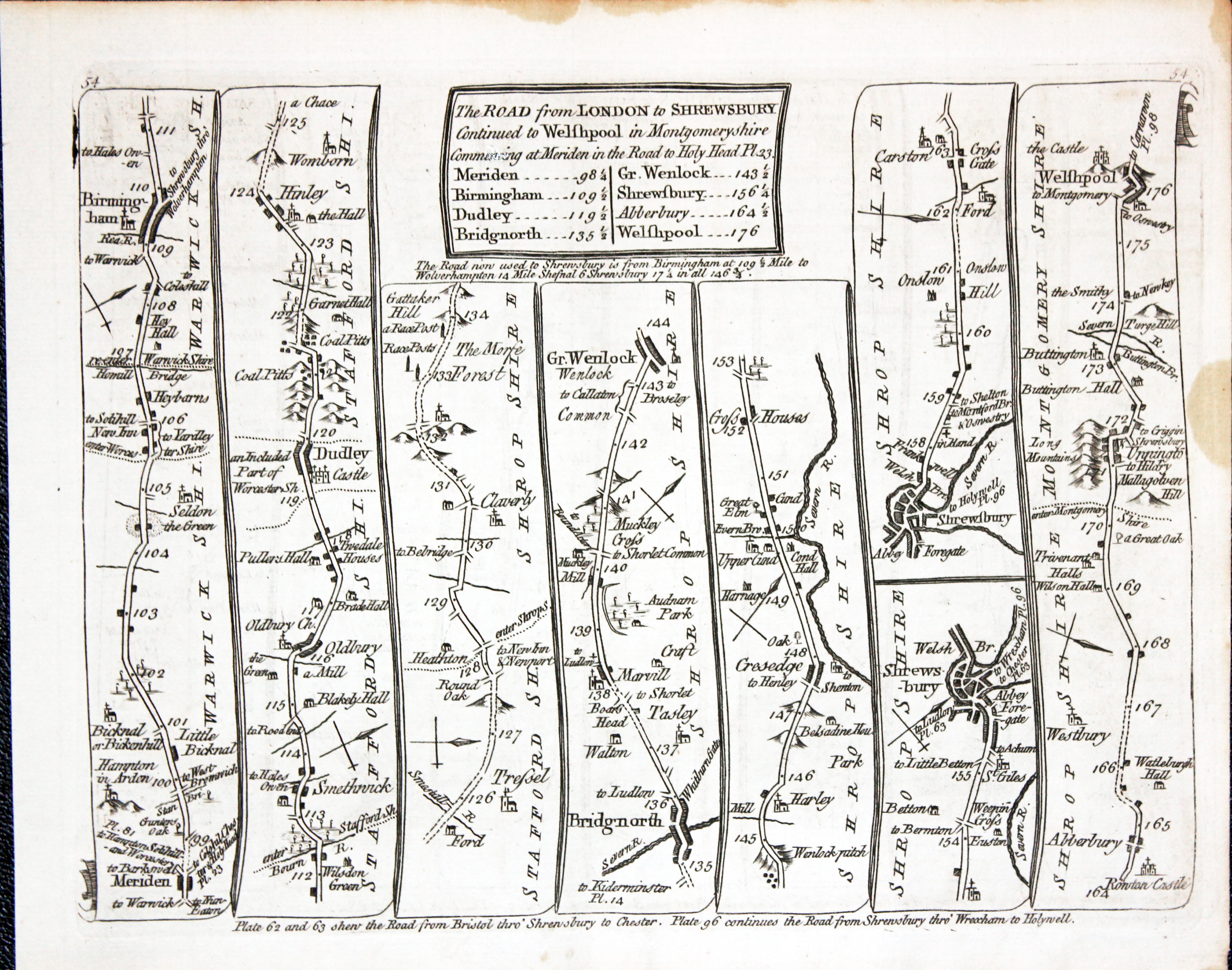
Road from Meriden to Welshpool, Thomas Kitchin 1767
-
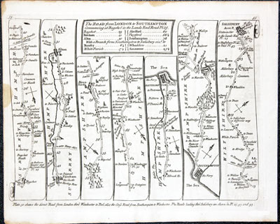
Road from London to Shrewsbury, Thomas Kitchin 1767
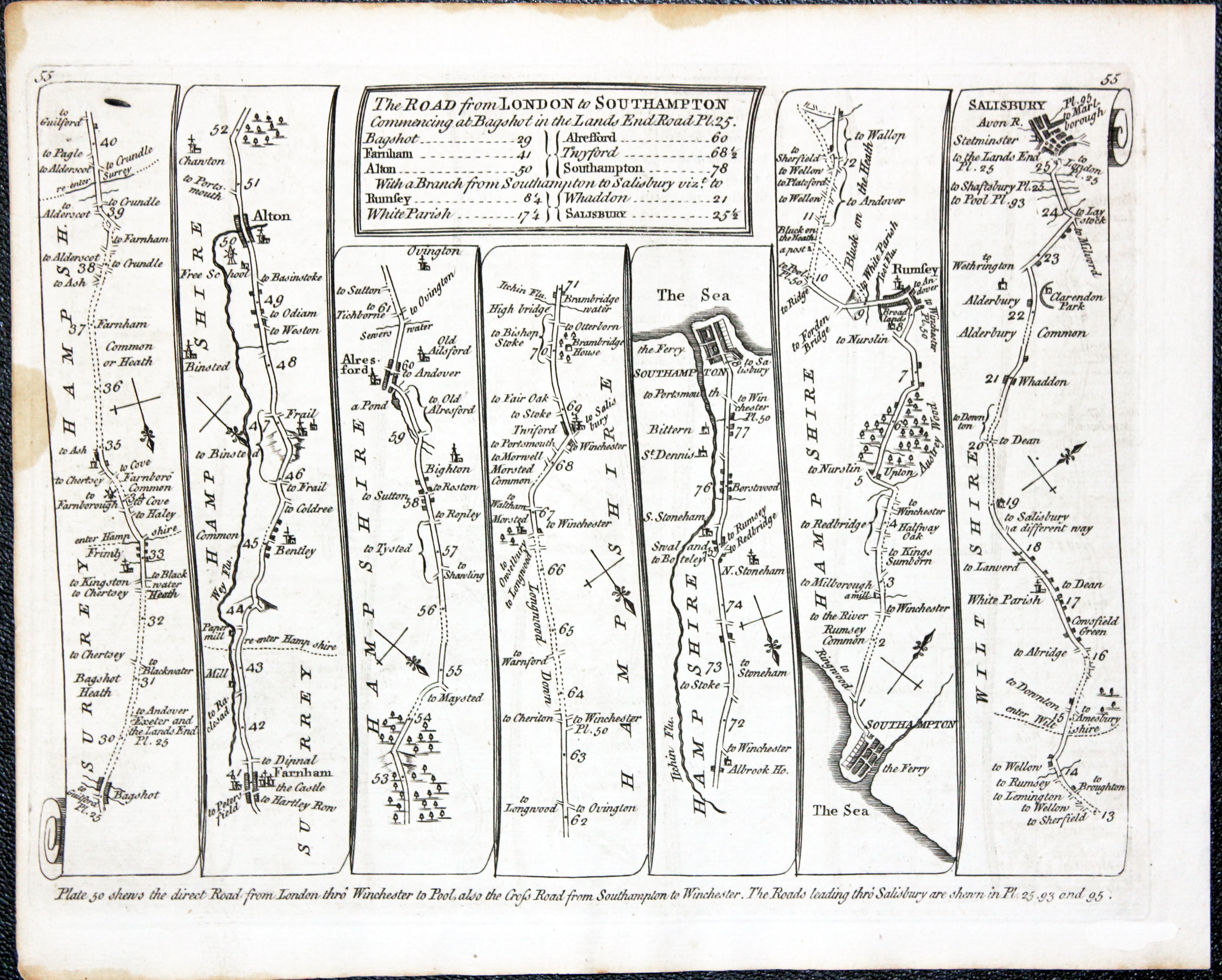
27070 Plate 54/55 Price: 40.00
THE ROAD FROM LONDON TO SHREWSBURY CONTINUED TO WELSHPOOL
Side 54. Meriden, Birmingham, Bridgnorth, Shrewsbury, Welshpool.
THE ROAD FROM LONDON TO SOUTHAMPTON
Side 55. Bagshot, Farnham, Alton, Southampton, Rumsey, Saisbury.
Double sided road map. 8 x 6 inches. Slight staining on edges of margins otherwise good condition. Uncoloured.
From: Kitchin’s Post-Chaise Companion through England and Wales
-

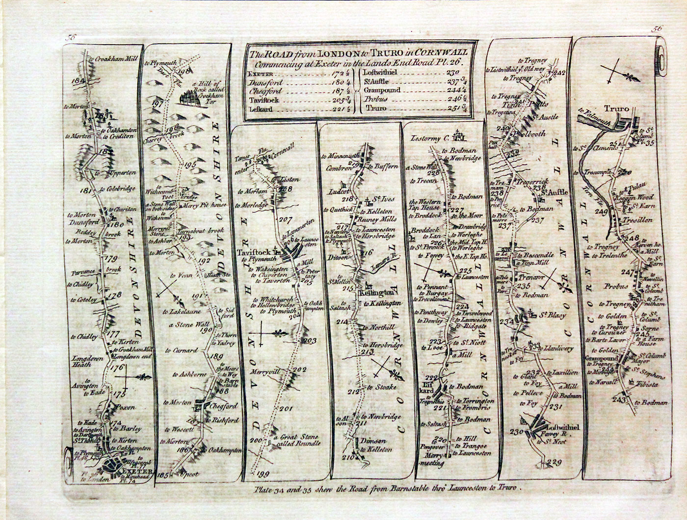
Road from Exeter to Truro, Thomas Kitchin 1767

28042 Plate 56/57 Price: 44.0
The Road from London to Truro in Cornwall
Exeter, Tavistock, Liskeard, Lostwithiel, Truro.
The Roads from London to Wells in Norfolk and St. Edmunds Bury in Suffolk
Newmarket Swaffham, Wells. Newmarket Bury St. Edmunds.
-

Road from Bristol to Chester, Thomas Kitchin 1767
-

Road from Ludlow to Chester, Thomas Kitchin 1767
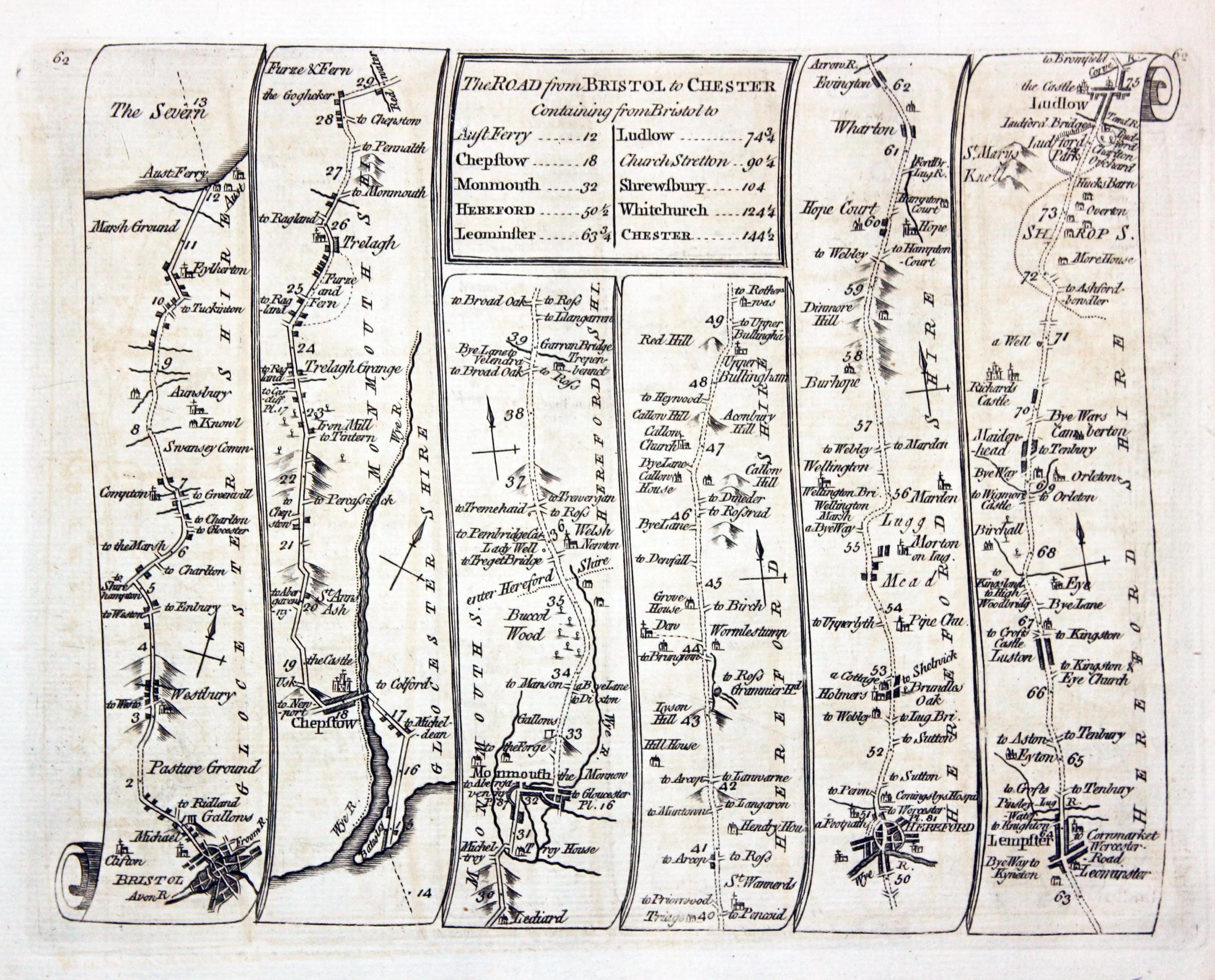
28045 Plate 62/63 Price: 44.00
Side 62. The Road from BRISTOL to CHESTER Britol, Ferry, Chepstow, Monmouth, Hereford, Leominster, Ludlow
Side 63. Untitled. Ludlow, Church Stretton, Shrewsbury, Whitchurch, Chester
Very small brown mark in the bottom right hand margin corner on side 62, left on side 63

-
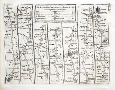
Road from Cambridge to Coventry, Thomas Kitchin 1767

28047 Plate 66/67 Price: 40.00
The Road from BRISTOL to WORCESTER Bristol, Dursley, Gloucester, Tewkesbury, Worcester.
The Road from CAMBRIDGE to COVENTRY Cambridge, St. Neots, Northampton, Rugby, Coventry.
-
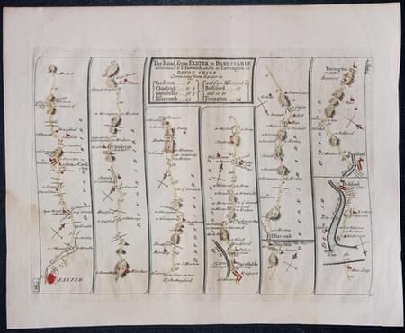
Road from Meriden to Welshpool, Thomas Kitchin 1767
-

Road from Exeter to Barnstaple Thomas Kitchin 1767
33185 Plate 67/68 Price: 39.00
THE ROAD FROM EXETER TO BARNSTAPLE
Side 68 Exeter, Chumleigh, Barnstaple, Ilfracombe, Bideford, Torrington
UNTITLED
Side 69. Machynlleth, Ruthin, Holywell.
Double sided road map. 8 x 6 inches. Some light water staining in one corner. Hand coloured.
From: Kitchin’s Post-Chaise Companion through England and Wales
-
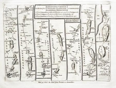
Road from Carlisle to Berwick,Thomas Kitchin 1767

28048 Plate 68/69 Price: 40.00
The Road from CARLISLE to BERWICK Carlisle, Jedburgh, Kelso, Cornhill, Berwick
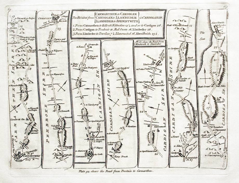
The Roads from CARMARTHEN to CARDIGAN. CARDIGAN to LLLANBEDER. LLANBEDER to ABERYSTWYTH in CARDIGANSHIRE Carmarthen, Cardigan, Llanbedr, Aberystwyth
-

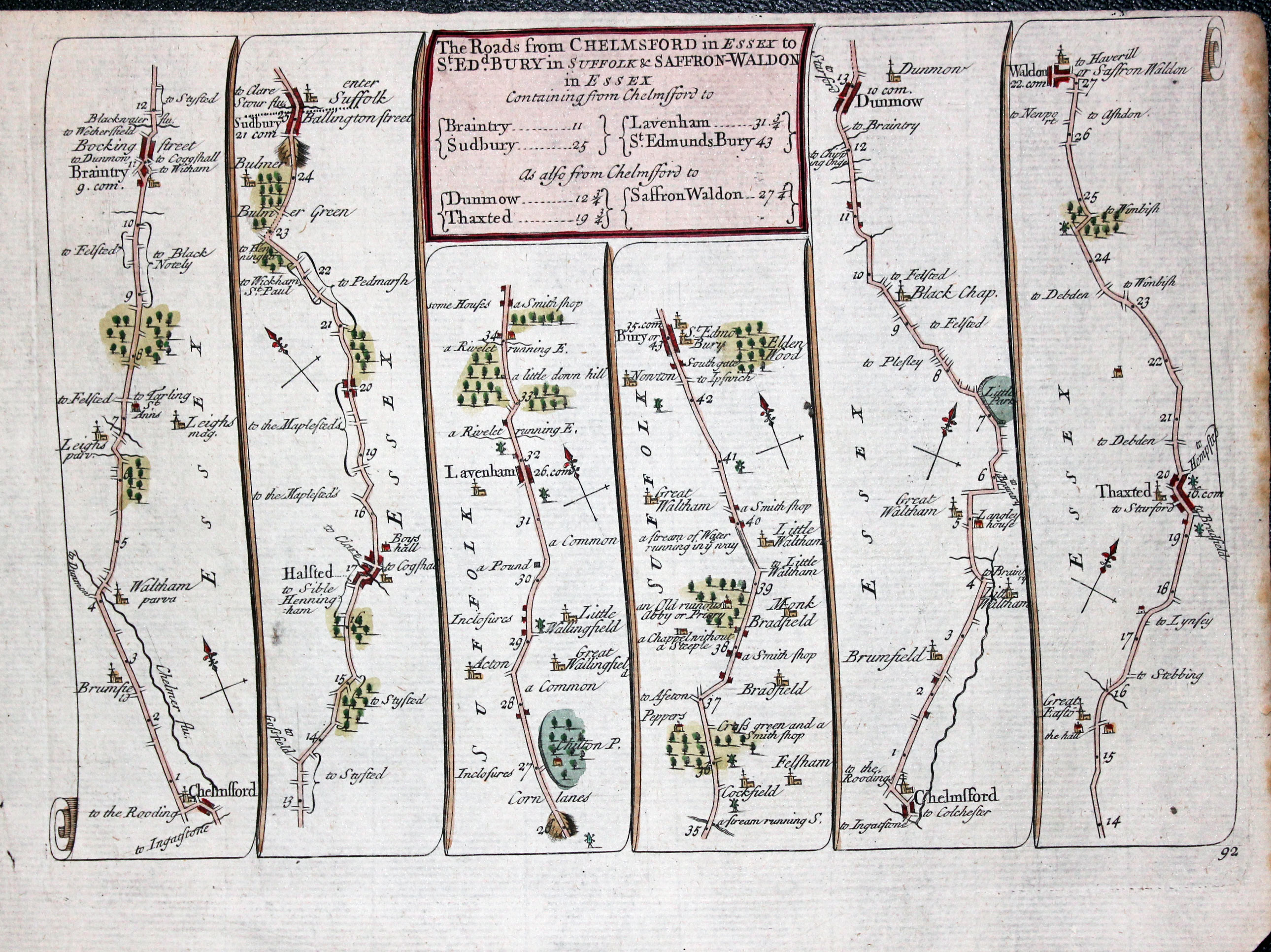
Road from Chelmsford to Saffron Walden, Thomas Kitchin 1767

28049 Plate 71/72 Price: 44.00
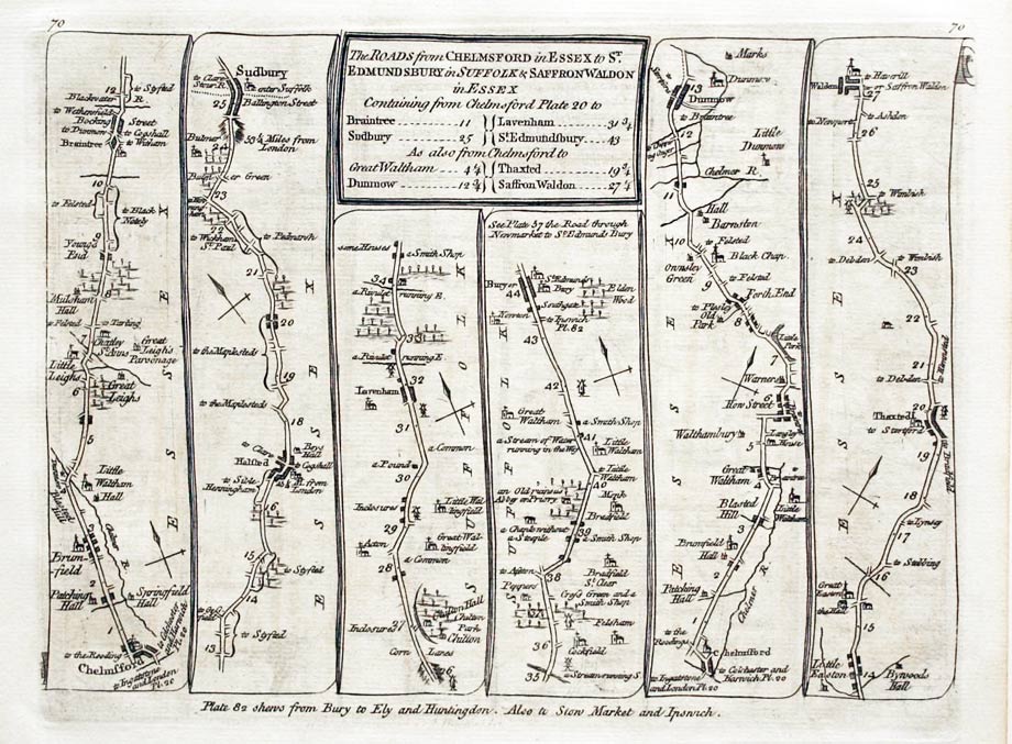
The Road from CHELMSFORD in ESSEX to ST. EDMUNDSBURY in SUFFOLK & SAFFRON WALDONin ESSEX. Chelmsford, Sudbury, Dunmow, Thaxted, Saffron Walden.
The Road from CHELMSFORD to MALDON & RALEIGH in ESSEX and GRAVESEND in KENT Chelsford, Maldon. Chelmsford, Raleigh, Chelmsford, Gravesend. Canterbury Sandwich, Deal, Dover.
-

Road from Chester to Llanbadardfynydd, Thomas Kitchin 1767

28050 Plate 72/73 Price: 38.00
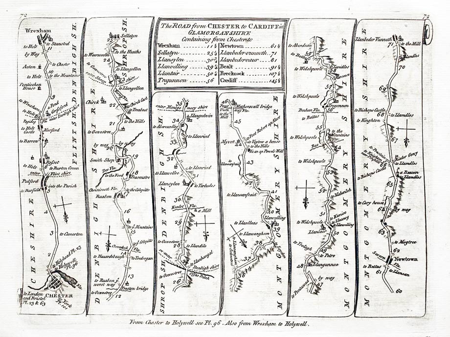
The ROAD from CHESTER to CARDIFF Chester, Wrexham, Llanbadardfynydd
Brecon, Cardiff
-

The rod from Dartmouth to Minehead, Thomas Kitchin 1767

28051 Plate 74/75 Price: 44.00
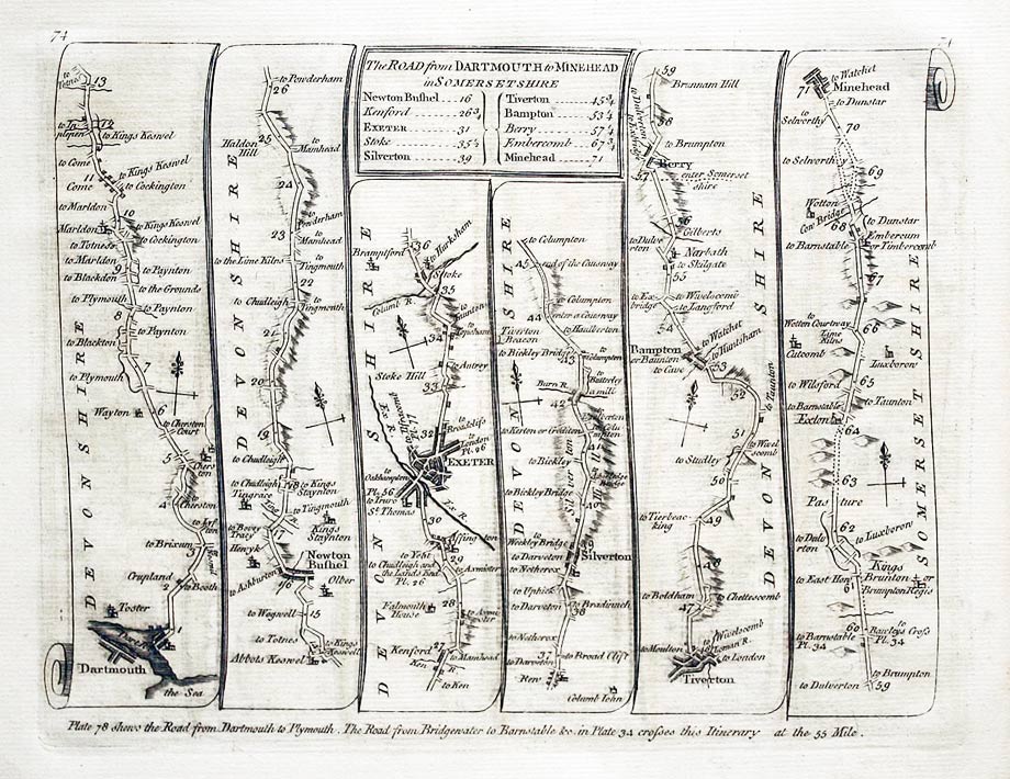
The Road from DARTMOUTH to MINEHEAD Dartmouth, Exeter, Silverton, Tiverton, Bampton, Minehead.
The Road from ST. DAVIDS to HOLYWELL St./ Davids, Fishguard, Cardigan, Talybont.
-

Road from Exeter to Torrington, Thomas Kitchin 1767

28052 Plate 76/77 Price: 40.00
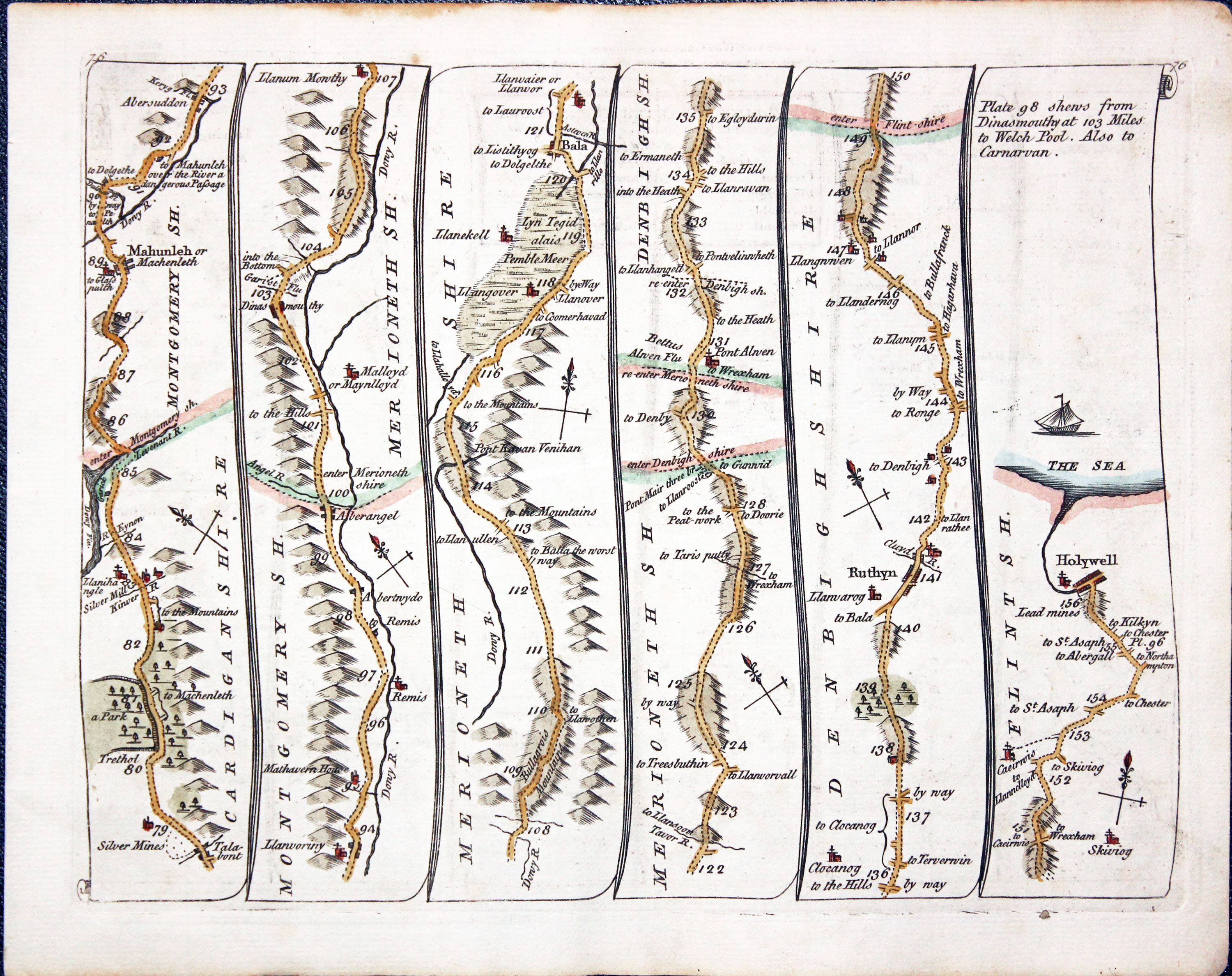
Talynont, Machynlleth, Bala, Ruthin, Holywell.
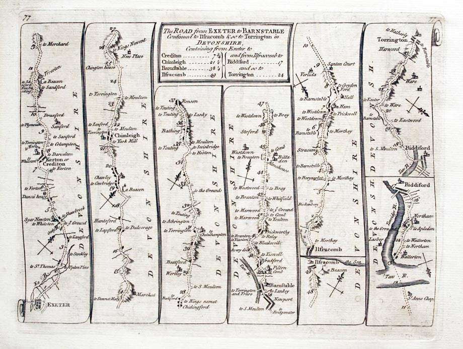
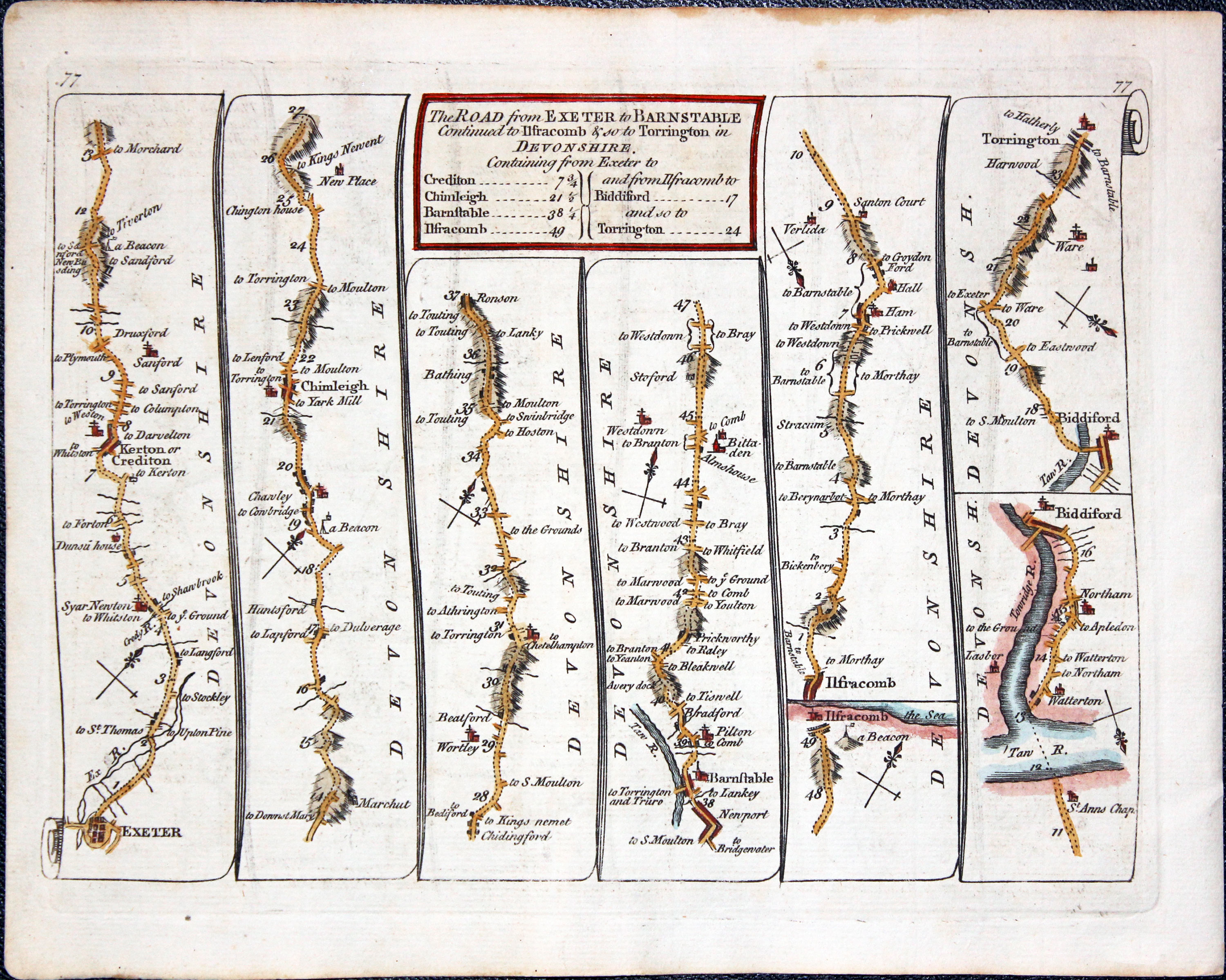
The Road from EXETER to BARNSTAPLE continued to IFRACOMBE & so to TORRINGTON in Devonshire
Exeter, Crediton, Chumleigh, Barbstaple, Ilfracombe, Bideford, Torrington.
-

Road Map Exeter to Torrington, Thomas Kitchin 17678
-

Road Map Talabon to Holywell, Thomas Kitchin 17678
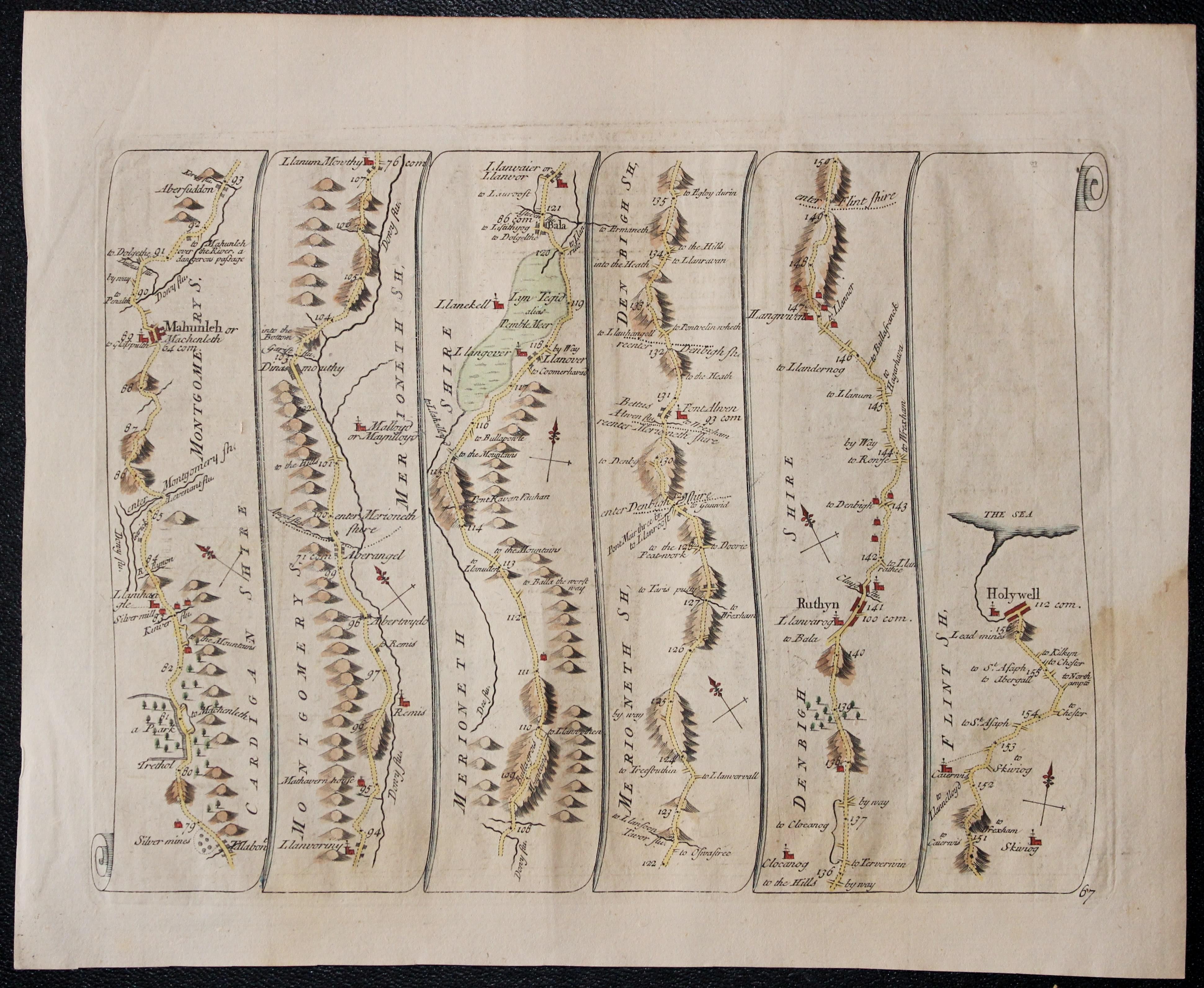
27061 Plate 76/77 Price: 45.00
Side 76. Untitled
Talybont, Machynlleth, Bala, Ruthin, Holywell.
Side 77. The Road from EXETER to BARNSTAPLE continued to IFRACOMBE & so to TORRINGTON in Devonshire
Exeter, Crediton, Chumleigh, Barbstaple, Ilfracombe, Bideford, Torrington.
Hand coloured
-

Road from Exeter to Dartmouth, Thomas Kitchin 1767

28053 Plate 78/79 Price: 44.00
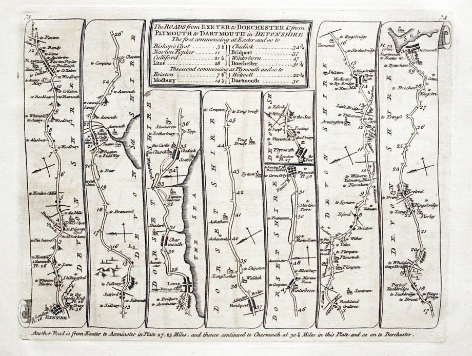
The Roads from EXETER to DORCHESTER & from PLYMOUTH to DARTMOUTH in Devonshire. Exeter, Lyme, Bridport, Dorchester. Plymouth, Modbury, Dartmouth.
The Road from GLOUCESTER to COVENTRY Gloucester, Campden, Stratford, Warwick, Coventry.
-

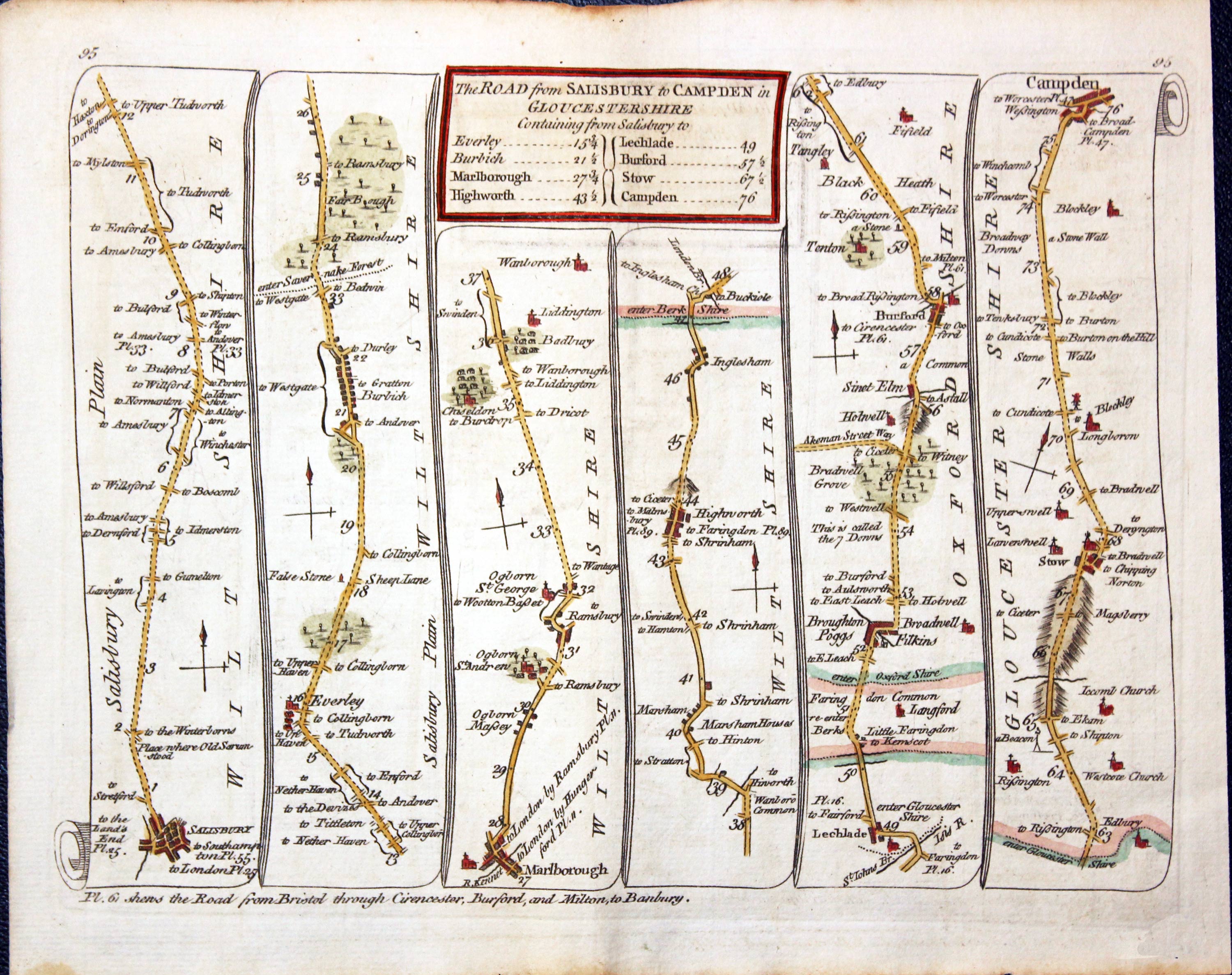
Road map Salisbury to Campden, Kitchin 1767
-
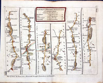
Road map Salisbury to Campden, Kitchin 1767
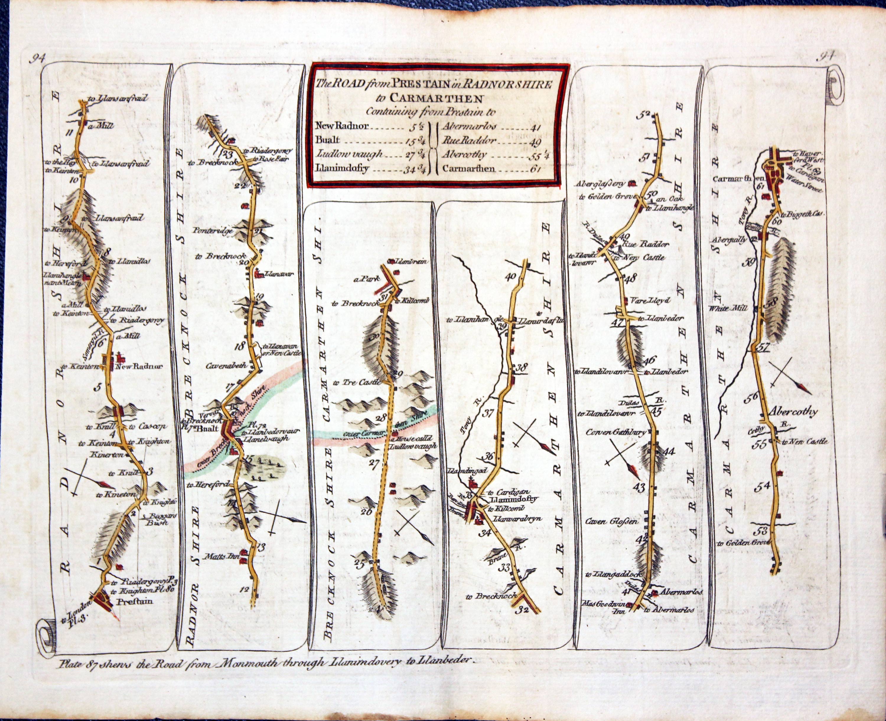
27035 Plate 94/95 Price: 44.00
The Road from PRESTAIN in Radnorshire to CARMARTHEN
Presteigne, Carmarthen.
The Road from SALISBURY to CAMPDEN in Gloucestershire
Salisbury, Marlborough, Burford, Stow, Campden.
Hand coloured
JOHN SENEX

-

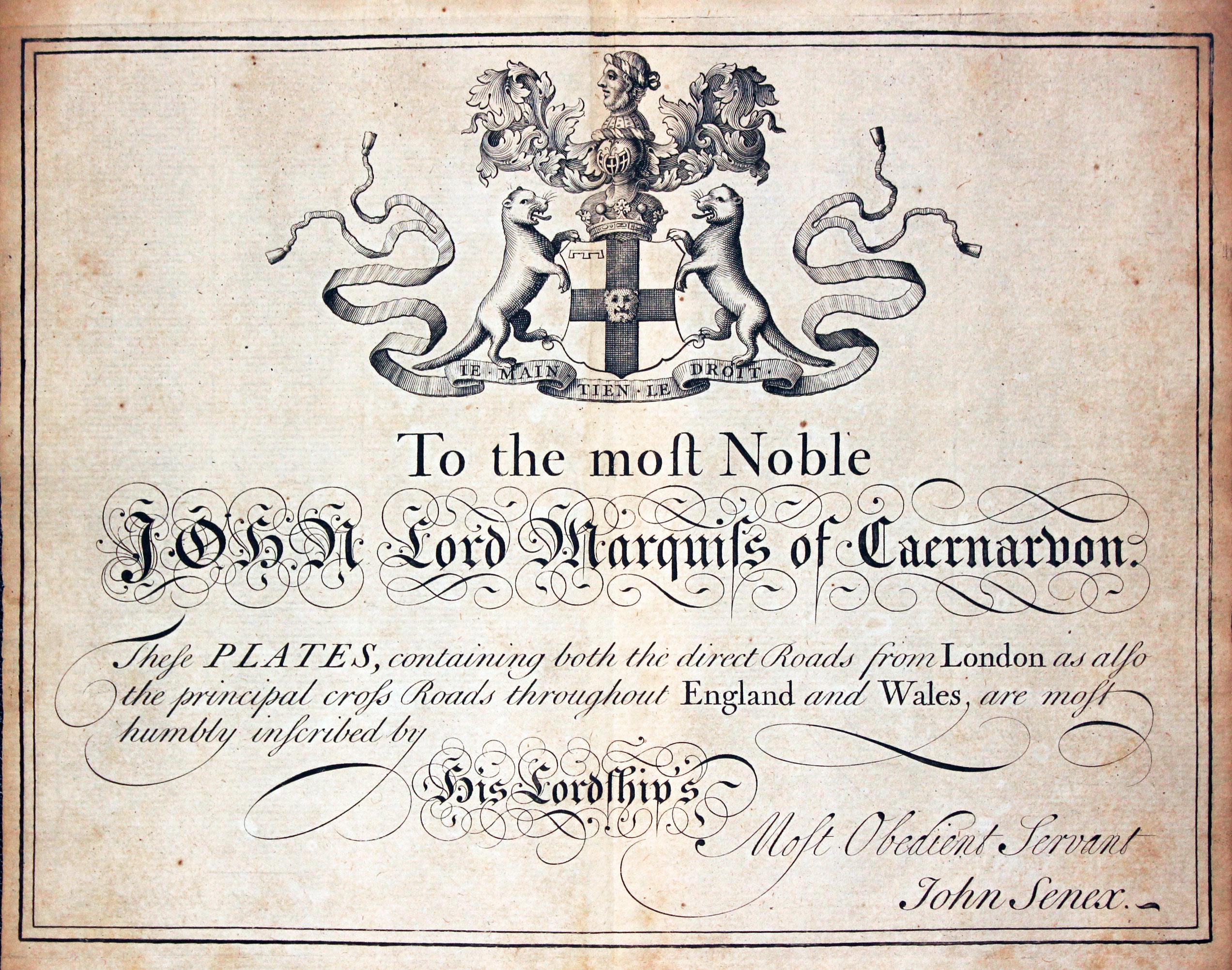
Dedication by John Senex to John Lord Marquis of Caernarvon 1719
-

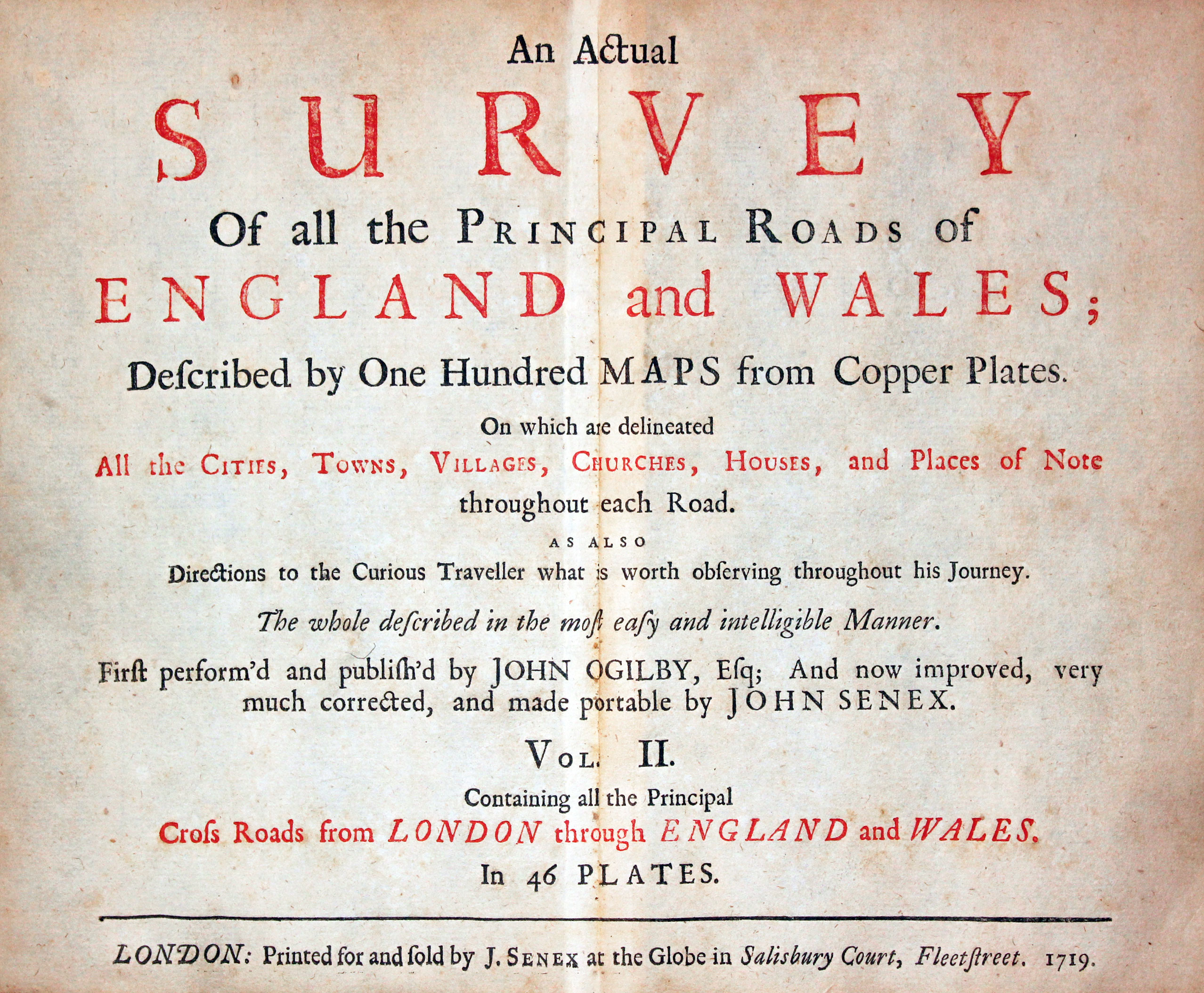
Titlepage to Jhn Senex Survey of England and Wales 1719
-

Dedication by John Senex to John Lord Marquis of Caernarvon 1719
A series of double sided Road Maps of England and Wales
Each measuring about 8 x 6 inches. Each map is made up of usually six panels with some having a central title panel.
They come from
An Actual Survey of the Principal Roads of England and Wales, published by John Senex at the Globe in Salisbury Court, Fleet Street, 1719.
The following John Senex Road Maps are currently in stock. They are all guaranteed to be genuine early specimens. All in good clean condition unless otherwise stated and attractively hand coloured
-
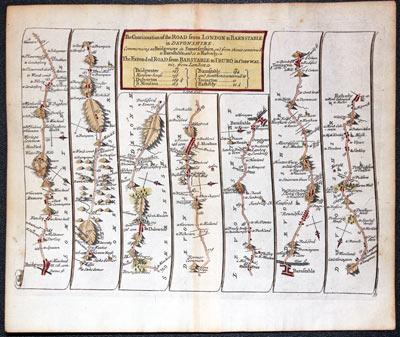
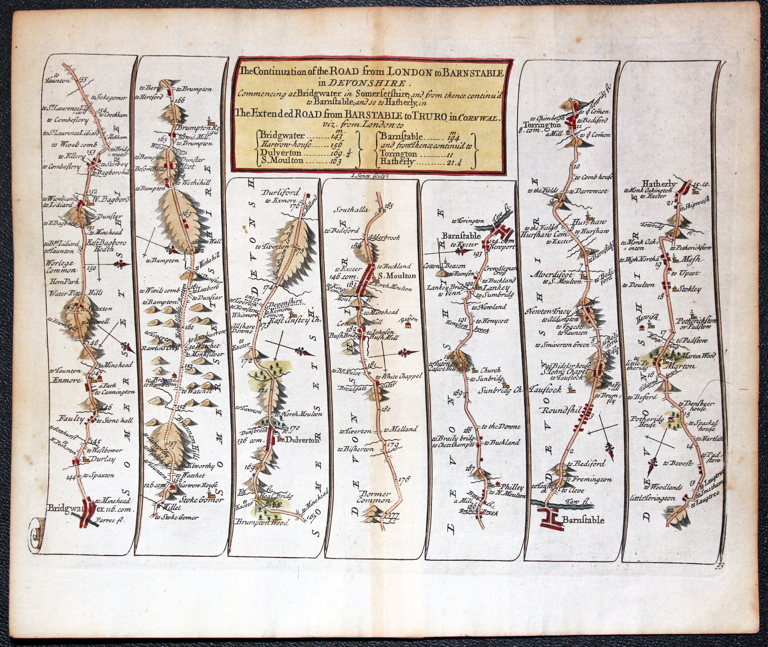
John Senex Road Map published in 1719 Bridgwater to Hatherleigh in Devon
12986 Plate 33 Bridgwater to Hatherleigh, John Senex, 1719. Price: 45.00
THE CONTINUATION OF THE ROAD FROM LONDON TO BARNSTAPLE IN DEVONSHIRE
A strip road map showing the route Bridgwater, Dulverton, S. Moulton, Barnstaple, Torrington, Hatherly. 8 x 6 inches. Original centre fold. Hand coloured. Good condition.
-
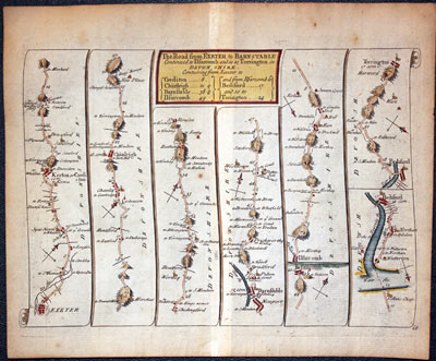
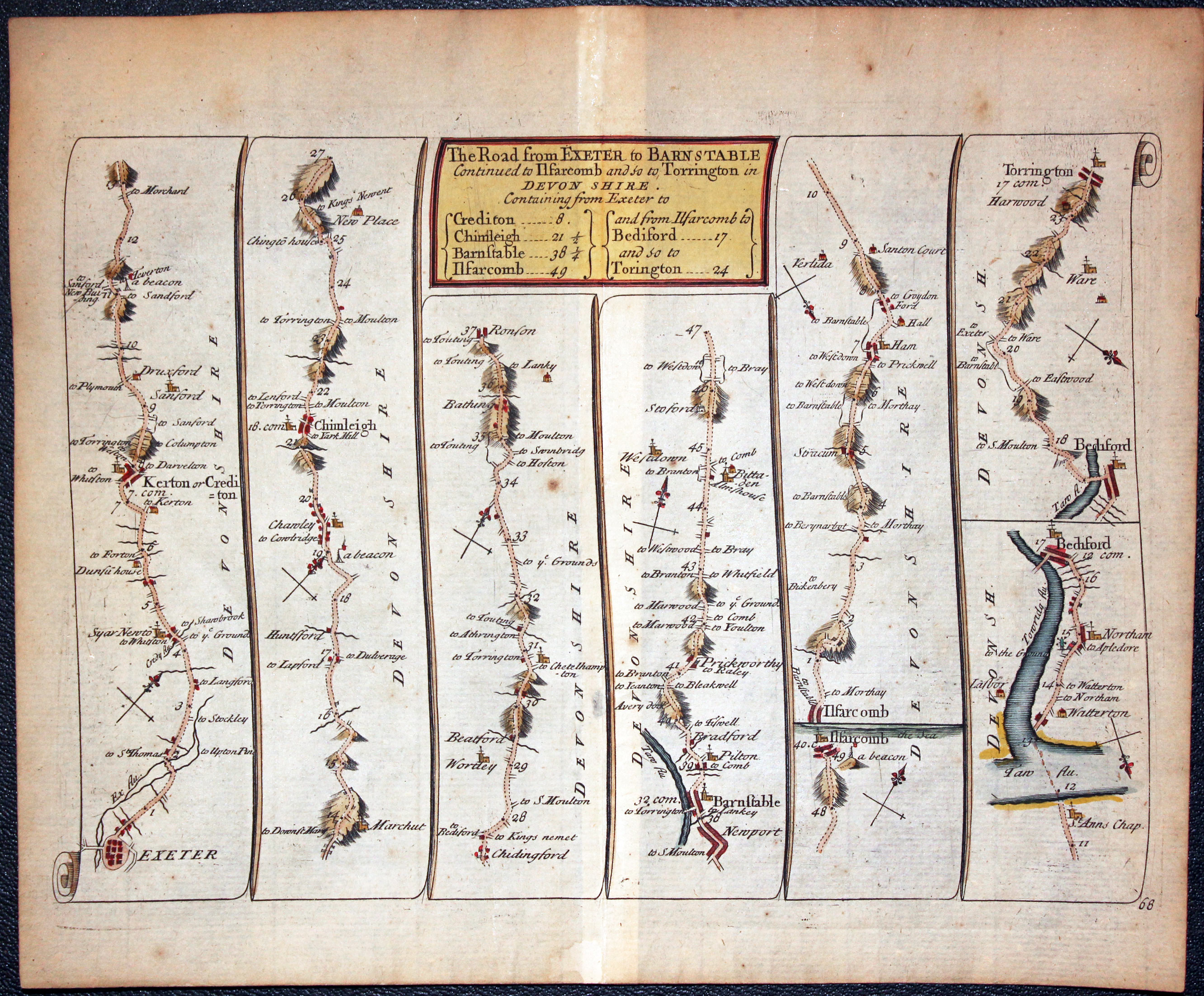
John Senex Road Map published in 1719 Exeter to Torrington in Devon
13021 Plate 68 Exeter to Torrington, John Senex 1719. Price: 45.00
THE ROAD FROM EXETER TO BARNSTAPLE
A strip road map showing the route Exeter, Crediton, Chumleigh, Barnstaple, Ilfracombe, Bideford, Torrington. 8 x 6 inches. Original centre fold. Hand coloured. Good condition. on.
-
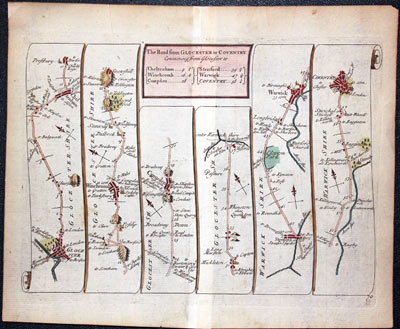
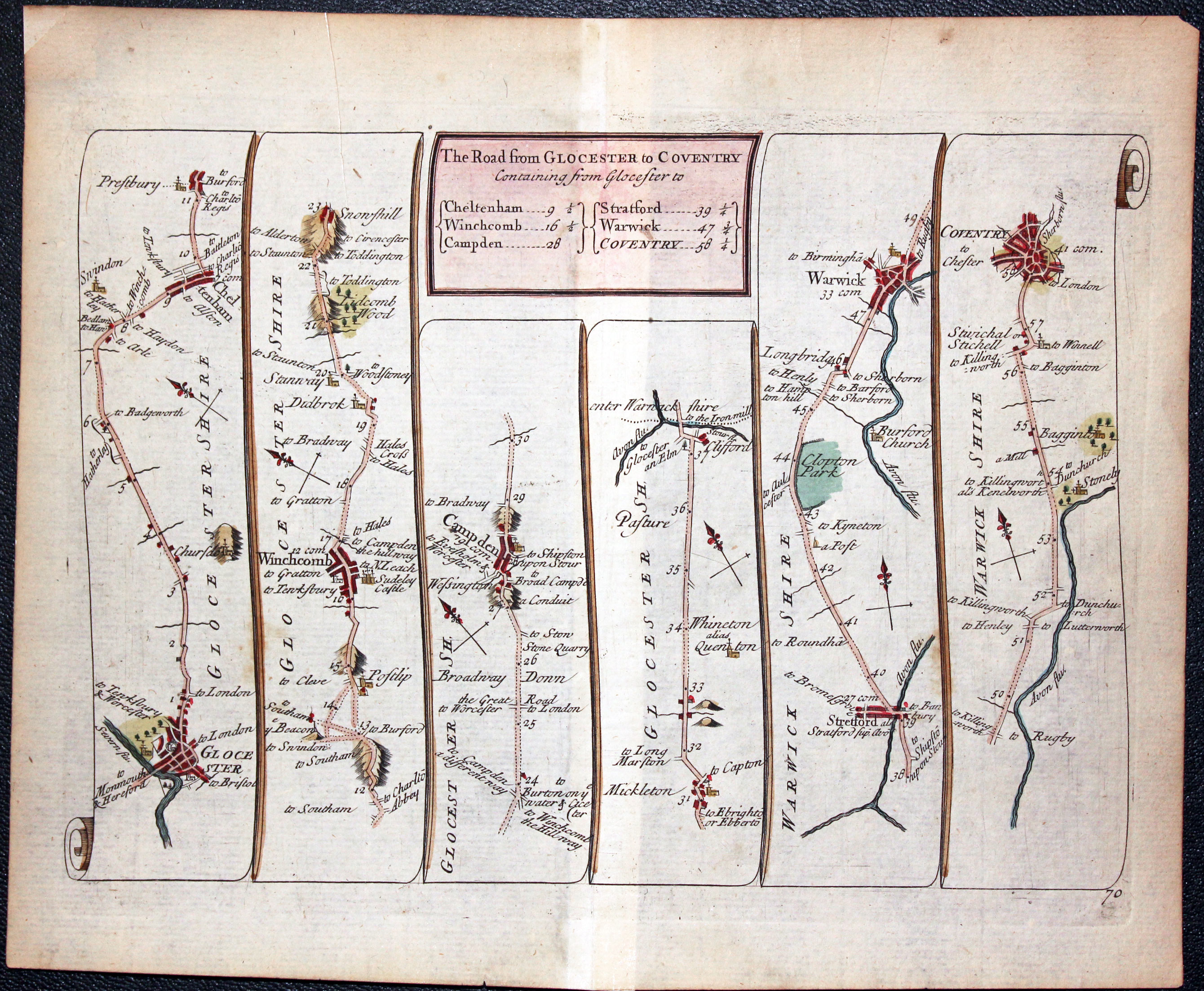
John Senex Road Map published in 1719 Gloucester to Coventry
13023 Plate 70 Gloucester to Coventry, John Senex 1719. Price: 46.00
THE ROAD FROM GLOUCESTER TO COVENTRY
A strip road map showing the route Gloucester, Cheltenham, Winchcombe, Campden, Stretford, Warwick, Coventry. 8 x 6 inches. Original centre fold. Attractive hand colouring. Small repair to the tip of the top left hand blank margin otherwise good condition.
-

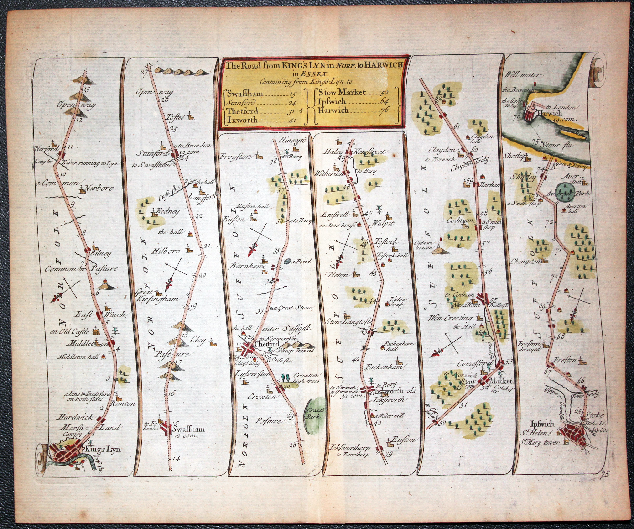
John Senex Road Map published in 1719 King's Lynn to Harwich
13028 Plate 75 King's Lynn to Harwich, John Senex 1719. Price: 45.00
THE ROAD FROM KING’S LYNN IN NORF. TO HARWICH
A strip road map showing the route KIngs Lynn, Swaffham, Thetford, Ixworth, Stowmarket, Ipswich, Harwich. 8 x 6 inches. Original centre fold. Attractive hand colouring. Good condition.
-
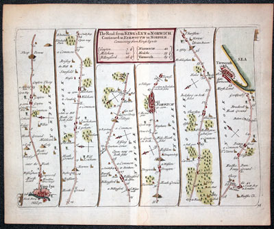
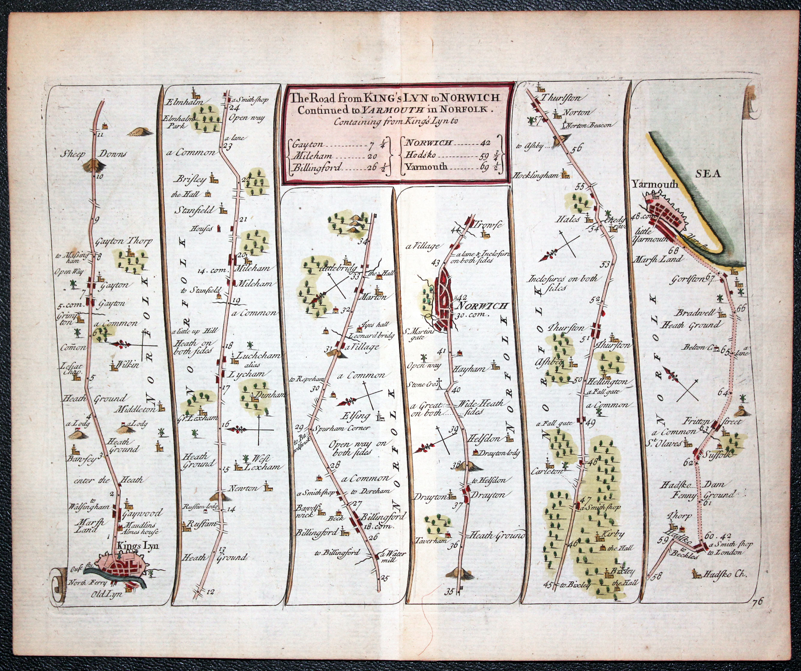
John Senex Road Map published in 1719 King's Lynn to Yarmouth
13029 Plate 76 King's Lynn to Yarmouth, John Senex 1719. Price: 46.00
THE ROAD FROM KING’S LYNN TO NORWICH CONTINUED TO YARMOUTH IN NORFOLK
A strip road map showing the route Kings Lynn, Norwich, Yarmouth. 8 x 6 inches. Original centre fold. Attractive hand colouring. Good condition
-

John Senex Road Map published in 1719 Chelmsford to Bury St. Edmunds in Suffolk
25976 Plate 92 Chelmsford to Bury St. Edmunds and Saffron Walden, John Senex 1719. Price: 38.00
THE ROADS FROM CHELMSFORD IN ESSEX TO ST. EDD. BURY IN SUFFOLK & SAFFRON WALDON
A strip road map showing the route Chelmsford, Brainterr, Halsted, Sudbury Lavenham, Bury St. Edmunds. Chelmsford, Dunmow, Thaxted, Saffron Walden. 8 x 6 inches. Original centre fold. Attractive hand colouring. Top blank margin tapers to very little on the right hand side, otherwise good condition

