Antique Maps of Kent
Richard Nicholson of Chester
A World of Antique Maps and Prints
Established in 1961
All the Maps on this page are guaranteed to be genuine early specimens
published in or around the year stated
19th Century Town Plan - Early Hand Colouring
-
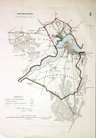
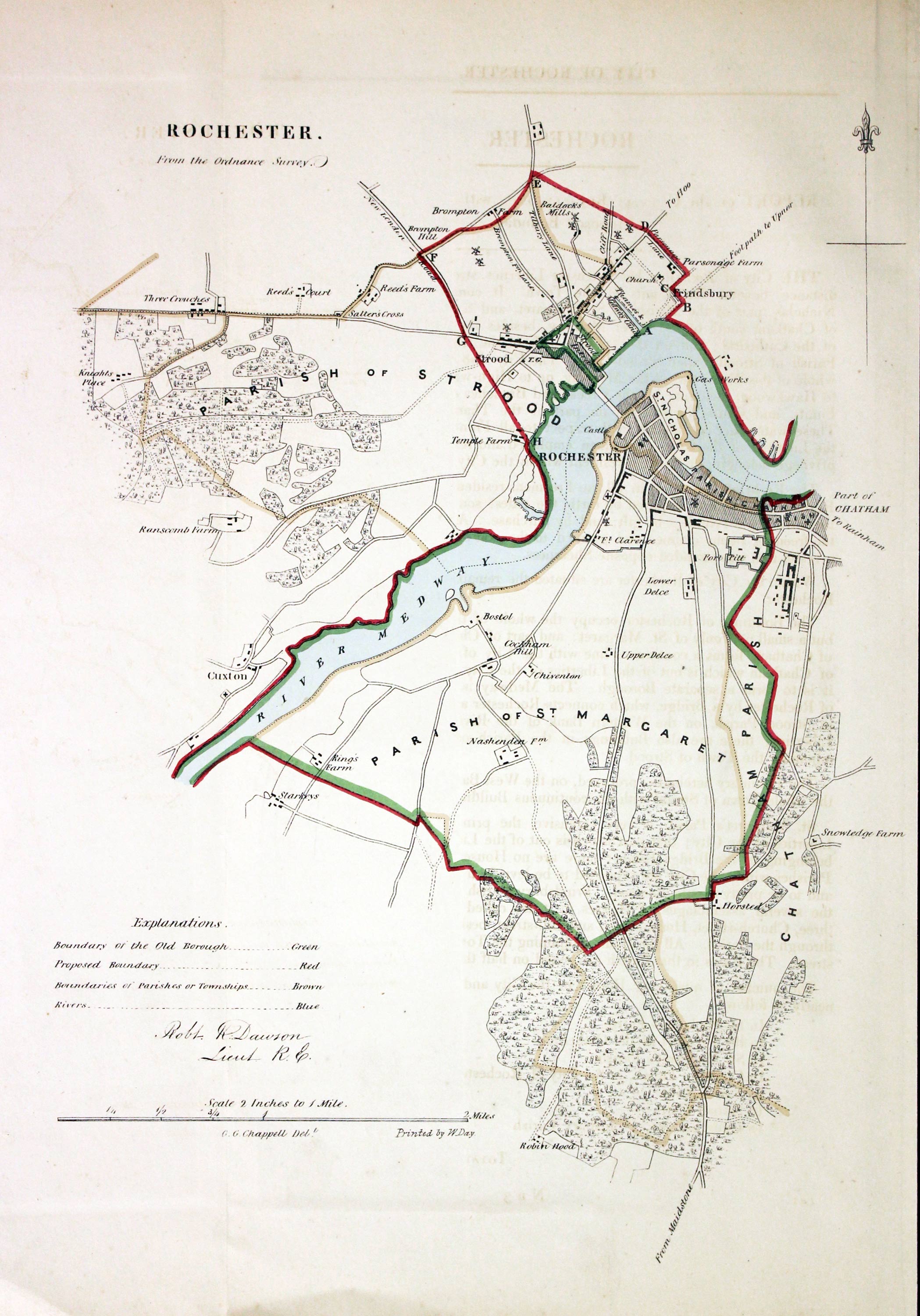
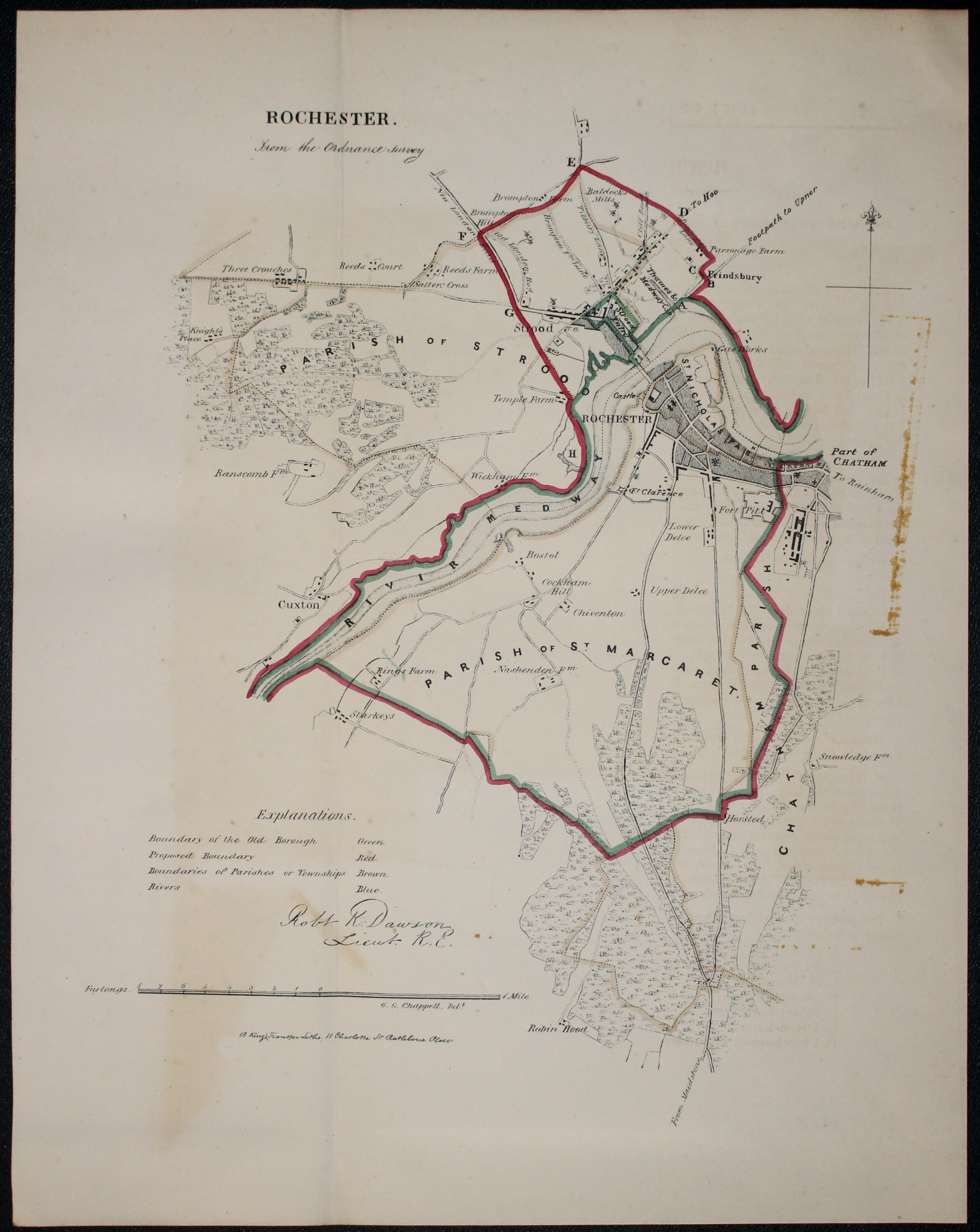
Rochester, Kent, Lt. Robrt Kearsley Dawson, 1832

26863 Rochester, Lr. Robert Kearsley Dawson, 1832. Price: 39.00
ROCHESTER FROM THE ORDNANCE SURVEY
A lithograph map of Rochester and environs on a scale of 2 inches to the mile. Compass pointer and explanation. About 8 x 10 inches. Original hand colouring. Good clean condition. With the original pages of descriptive text.
From Plans of the Cities and Boroughs of England and Wales.
Late 18th Century - Road Map
-
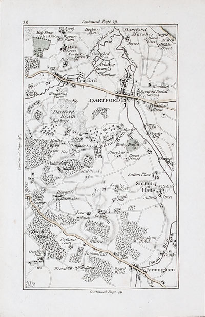
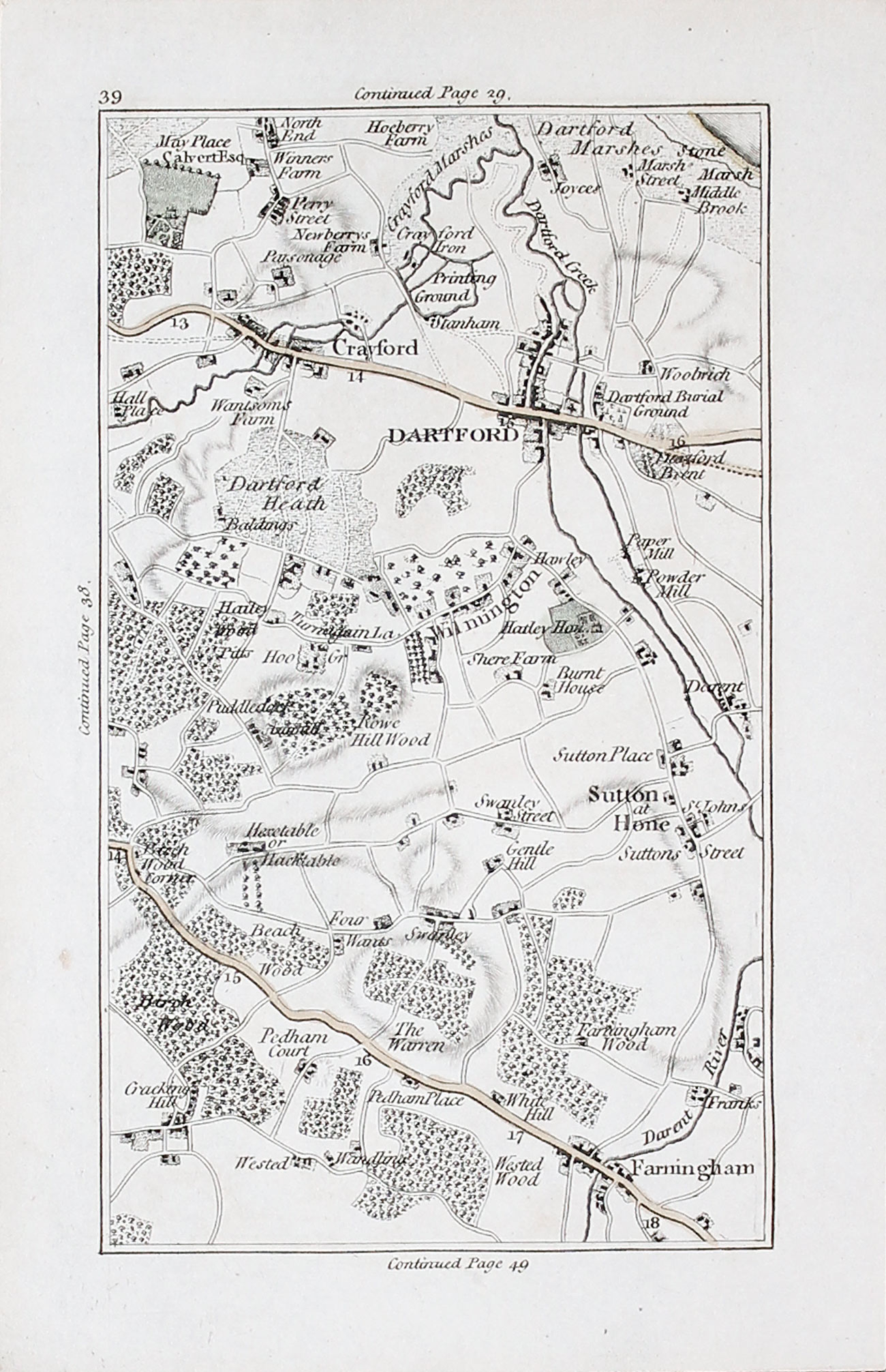
Crayford, Dartford, Sutton at Hone, Wilmington and Farningham John Cary 1786

12088 Plate 39. Round London, John Cary, 1786. 37.00
UNTITLED
Includes Crayford, Dartford, Sutton at Hone, Wilmington and Farningham. 3 1/2 x 6 inches. Original hand colouring to main roads. Good condition
From an interesting series of section maps by John Cary on a scale of one inch to the mile showing the area 15 miles round London in 1786
19th Century - Early Hand Colouring
-
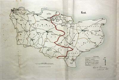
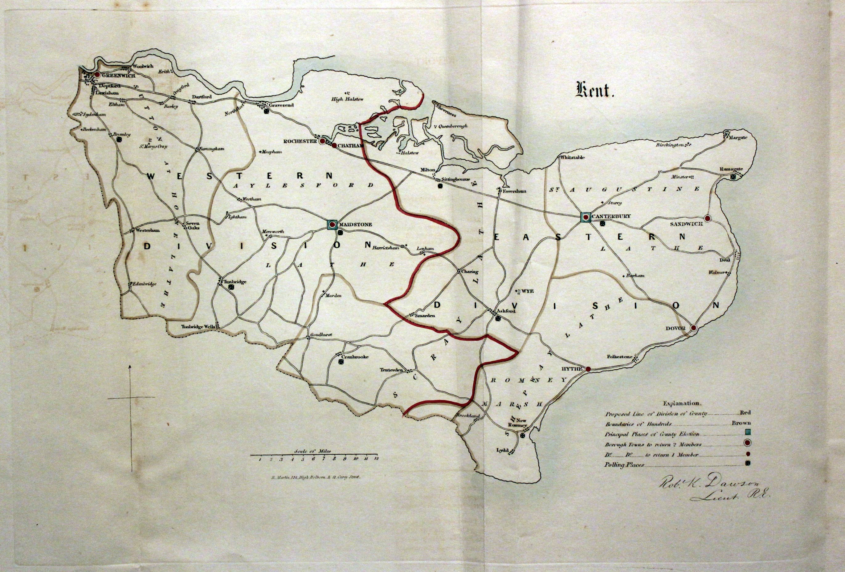
Kent, Lt. R. K. Dawson, 1832

29138 Kent, Lt. R. K. Dawson, 1832. Price: 23.00
KENT
A simple map of the county with explanation. Shows the principal places of County Election and the Borough Towns to return 2 members. About 12 x 8 inches, 330 x 210 mm. Early hand colouring. Three vertical folds which is normal. A little creasing to the centre fold otherwise good condition. With the map is the original page of text concerning the proposed Division of Kent.
For the Collector - Miniature
-

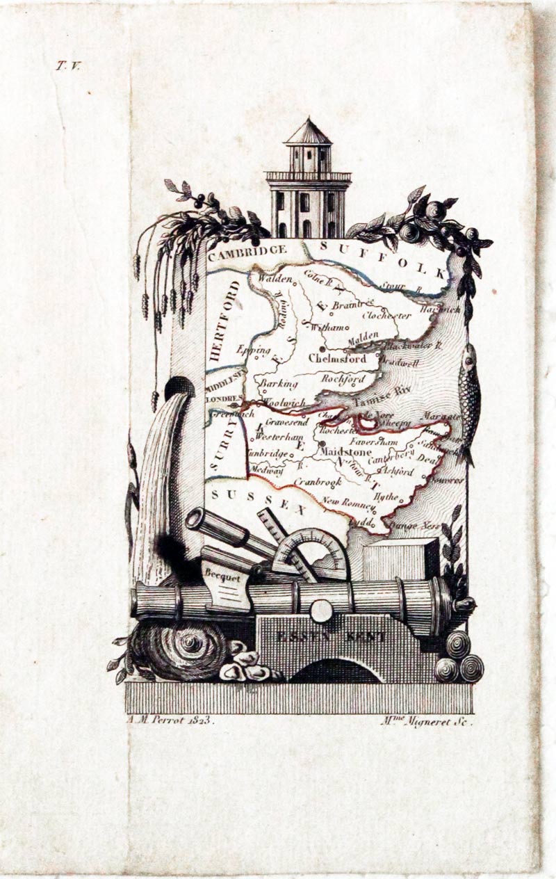
Essex and Kent, Aristide M. Perrot, 1823

29633 Essex and Kent, Aristide M. Perrot, 1823. Price: 48.00
ESSEX KENT
A miniature engraved map by Adrien Migneret of the two counties within a pictorial border. 2 1/2 x 4 1/4 inches. Original outline hand colouring. Vertical crease on the left of the map. Traces of two pieces of white tape on verso probably used to hold the map into a mount at some time. Otherwise good condition.
Late 19th Century
-
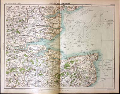
Part of Essex and Kent, John Bartholomew, c.1898

30832 Part of Essex and Kent, John Bartholomew, c.1898. Price: 24.00
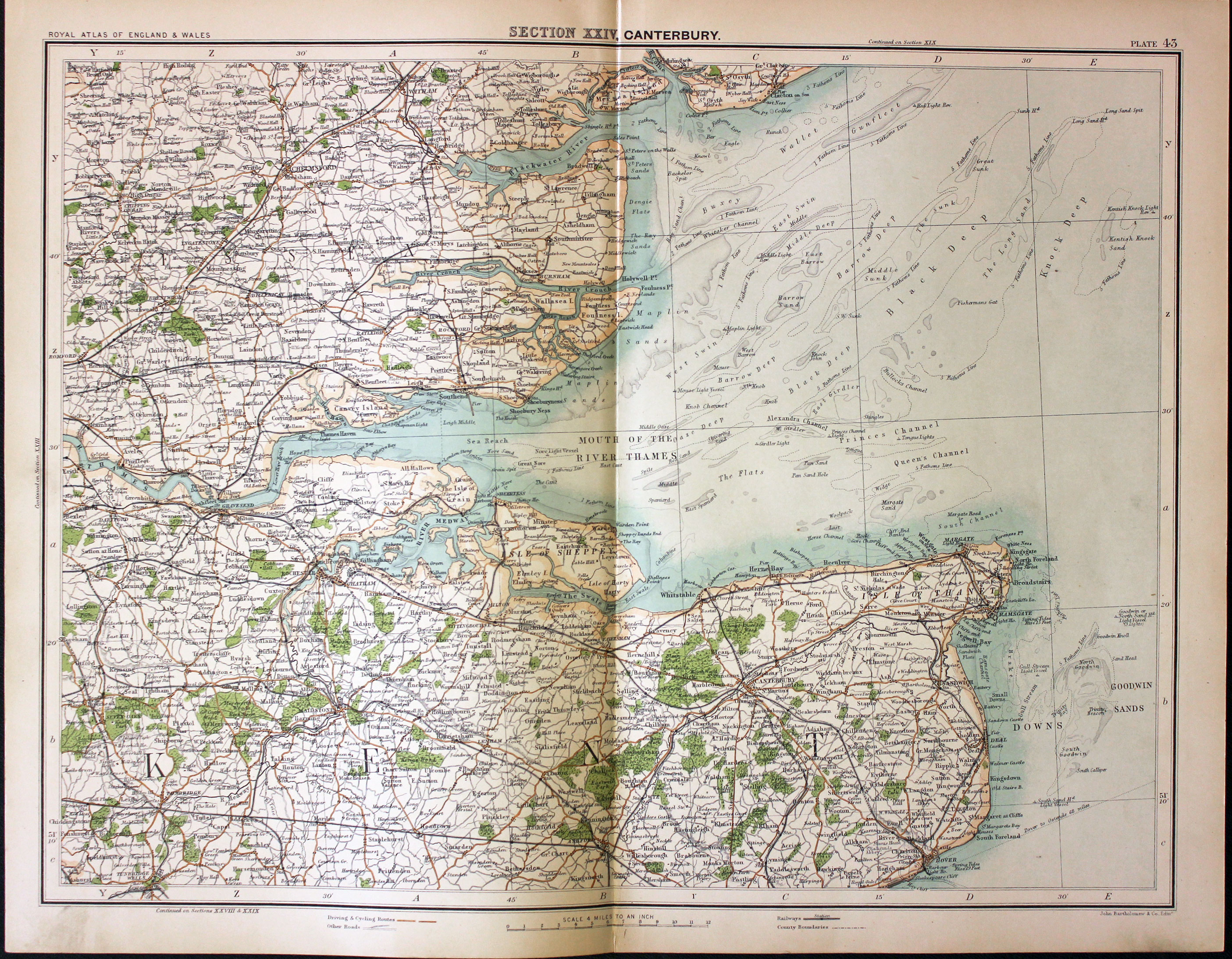
SECTION XXIV. CANTERBURY
A colour printed map showing parts of Essex and Kent. Scale of 4 miles to the inch. Shows the railways. Centre fold. 16 1/2 x 12 1/2 inches. Good clean condition.
From: The Royal Atlas
For the Collector
-

Kent, Reuben Ramble 1844
-

Kent Text, Reuben Ramble 1844

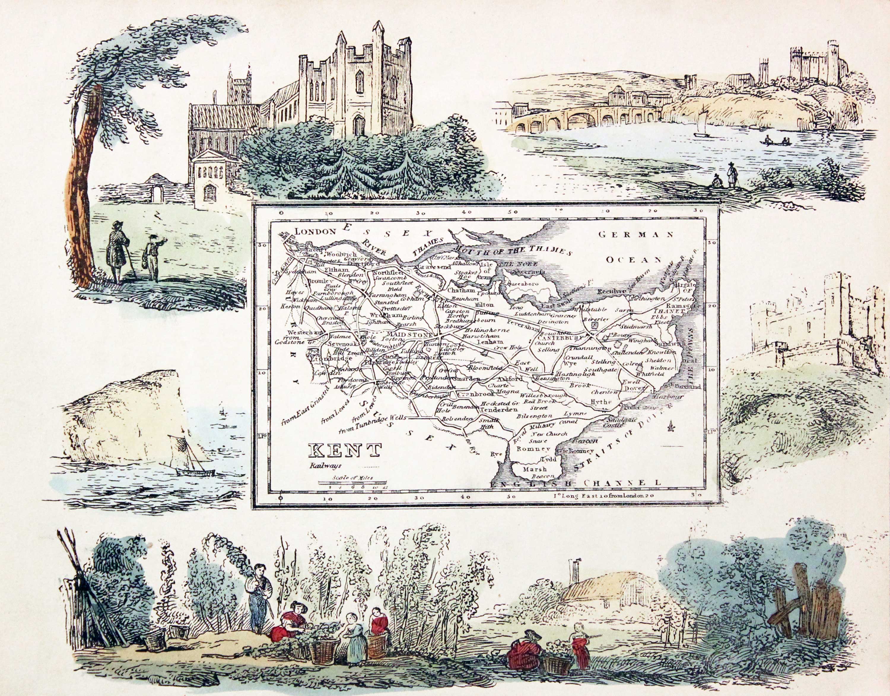
31371 Kent, Reuben Ramble, c.1845. Price: 105.00
KENT
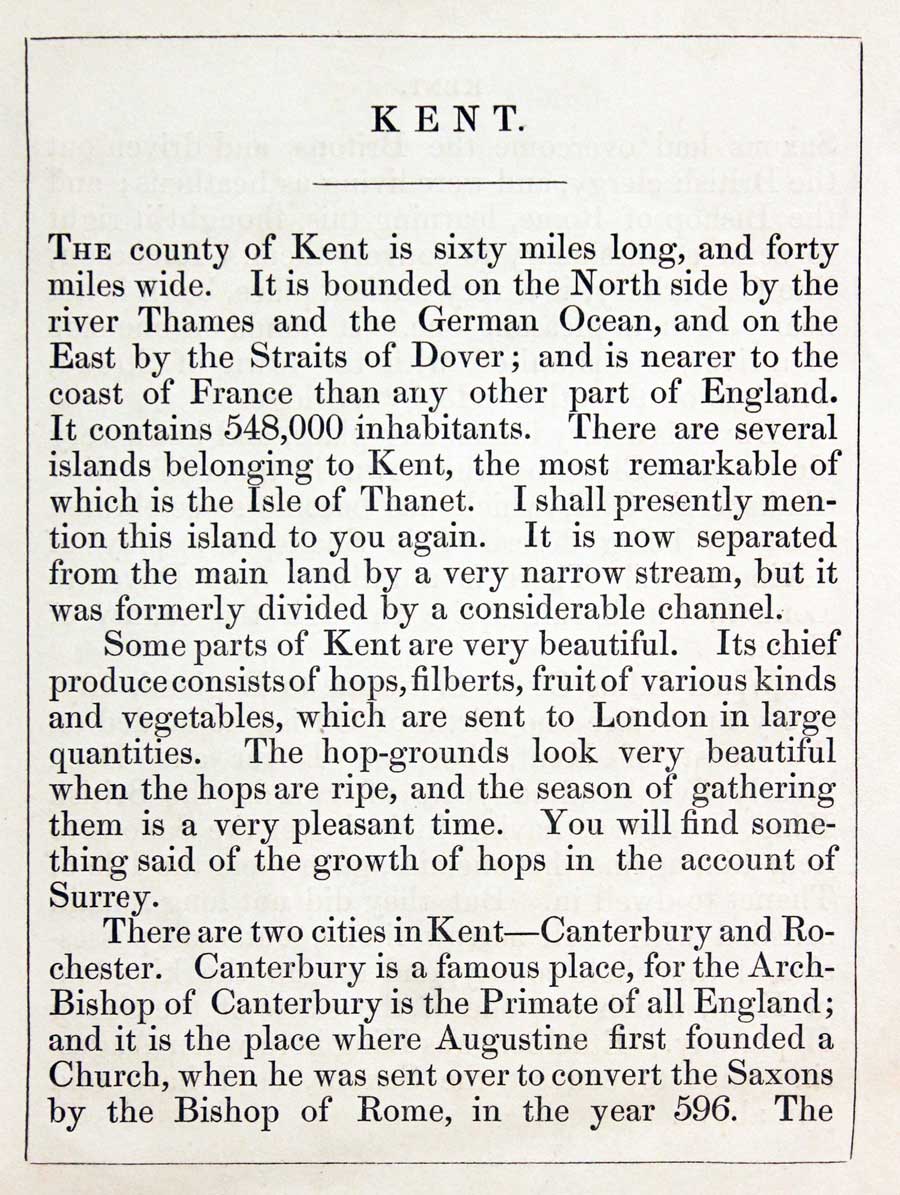
An uncommon lithograph miniature map of the county surrounded by a wide border of vignette views of local scenes including Canterbury Cathedral, Rochester Cliffs, Dover Castle and Hop Picking. The maps first appeared in Miller’s New Miniature Atlas published in 1810. The decorative views were added and the maps republished by Darton & Clark in “Reuben Ramble’s Travels Through the Counties of England” in 1844. 7 1/2 x 6 inches. This is the size of overall area and not the contained map. Original hand colouring. With this map is the original double sided page of text describing the county.
19th Century
-
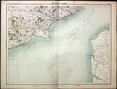
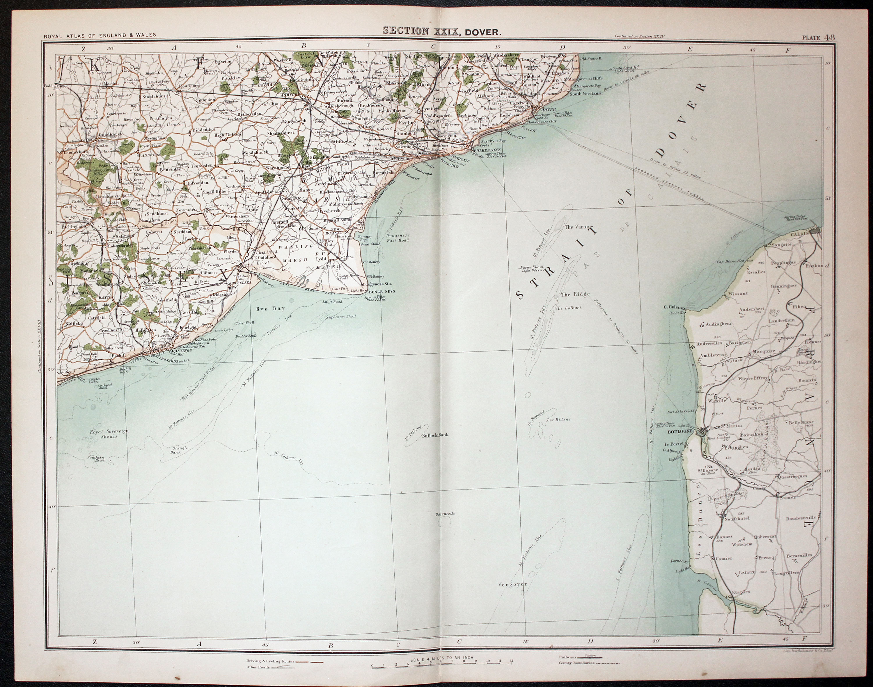
Part of Kent, John Bartholomew, c.1898

31502 Part of Kent, John Bartholomew, c.1898. Price: 18.00
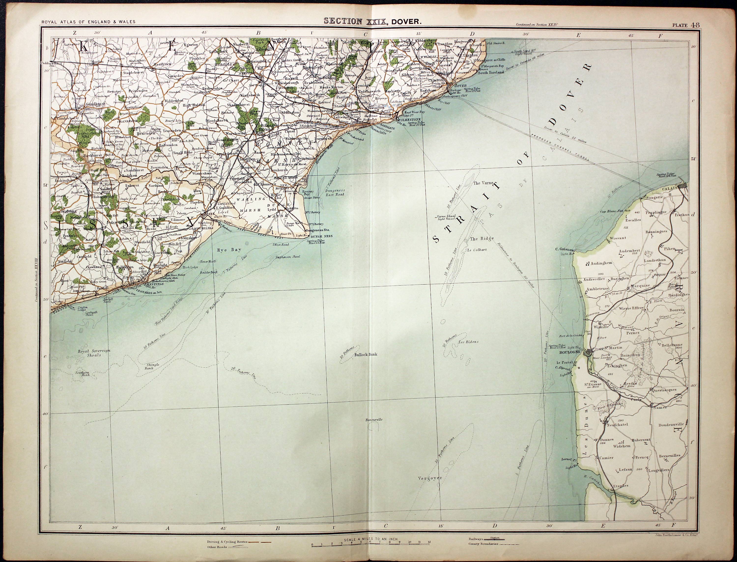
SECTION XXIX. DOVER
A colour printed map showing part of Kent with the English Channel and section of the French coast. Scale of 4 miles to the inch. Shows the railways. 16 1/2 x 12 1/2 inches. Good clean condition.
From: The Royal Atlas
19th Century - Political
-
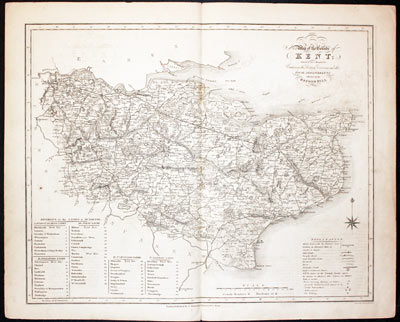
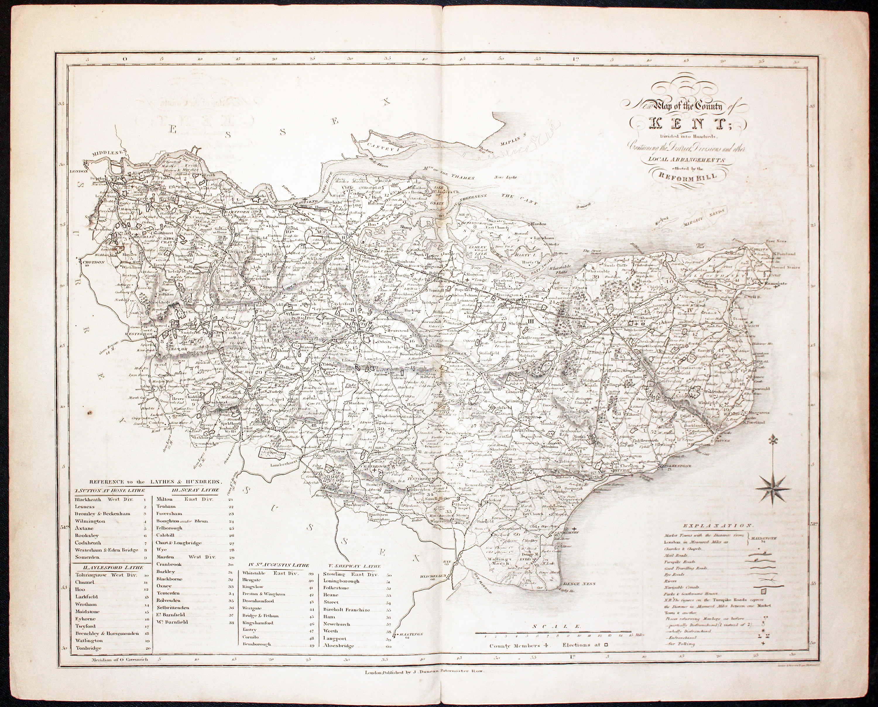
Kent Reform Act Map James Duncan 1833

32079 Kent, James Duncan, c.1840. Price: 52.00
MAP OF THE COUNTY OF KENT DIVIDED INTO HUNDREDS CONTAINING THE DISTRICT DIVISIONS AND OTHER LOCAL ARRANGEMENTS EFFECTED BY THE REFORM BILL.
A detailed engraved county map. List of lathes and hundreds, explanation, scale and compass rose. 13 3/4 x 16 3/4 inches. Uncoloured. Some light offsetting. Original centre fold. Wide blank margins. Small slit at the bottom ofthe centre fold in blank margin only otherwise good condition.
From: A Complete County Atlas of England and Wales
In 1832 Parliament passed a law changing the British electoral system. The Act increased the electorate from about 400,000 to 650,000 making one in five adult males elible to vote. It was know as the Great Reform Act.
19th Century - Early Hand Colouring
-
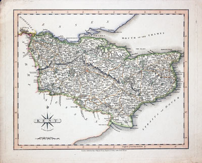
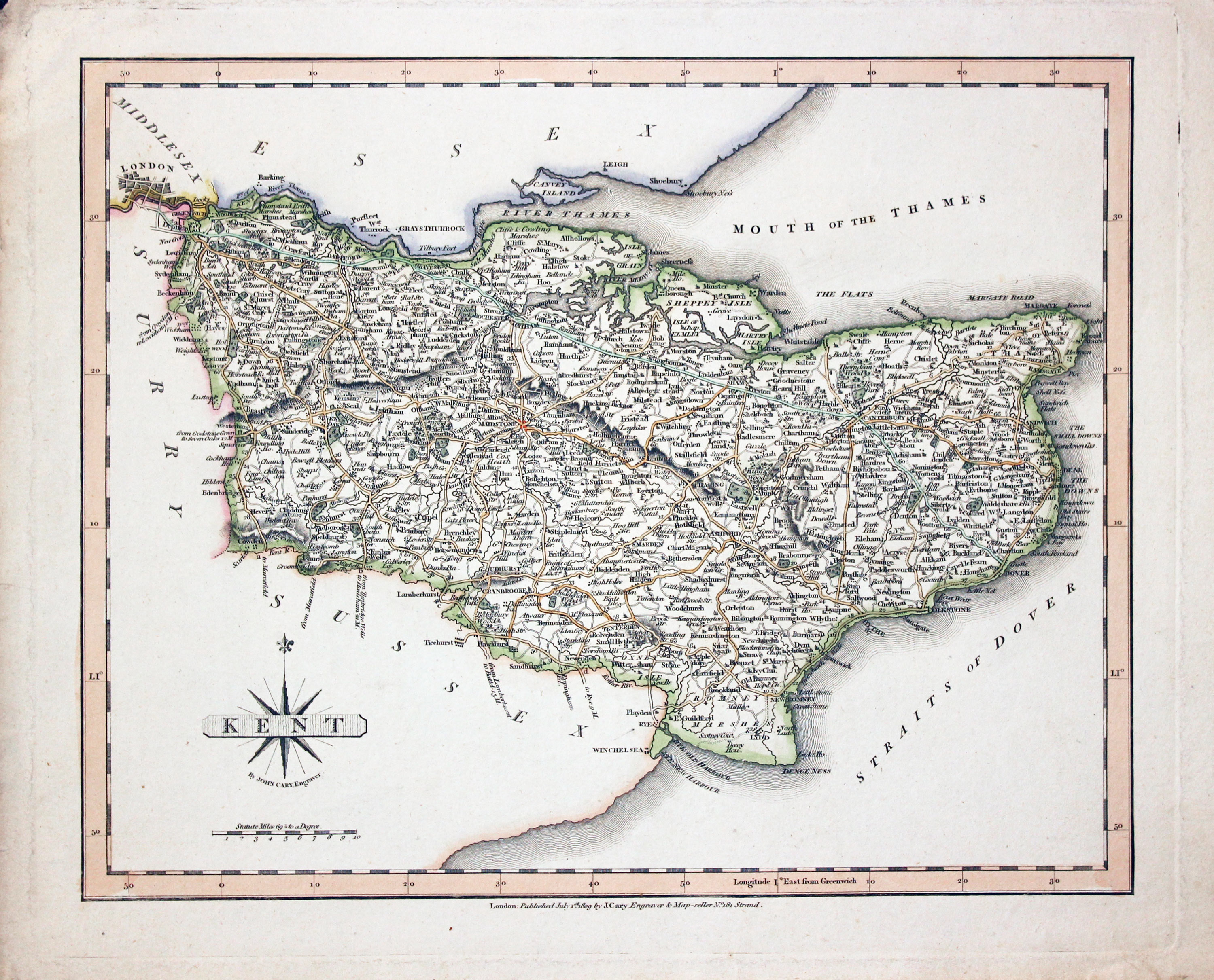
Kent, John Cary 1809

32064 Kent, John Cary, 1809. Price: 59.00
KENT
A good engraved map of the county. Title panel with compass rose. Publisher’s imprint beneath dated 1809. 10 1/4 x 8 1/4 inches. Attractive original outline hand colouring. A little very light creasing in the to left hand blank margin otherwise good undamaged condition.
From: Cary's New and Correct English Atlas
19th Century - Early Hand Colouring
-

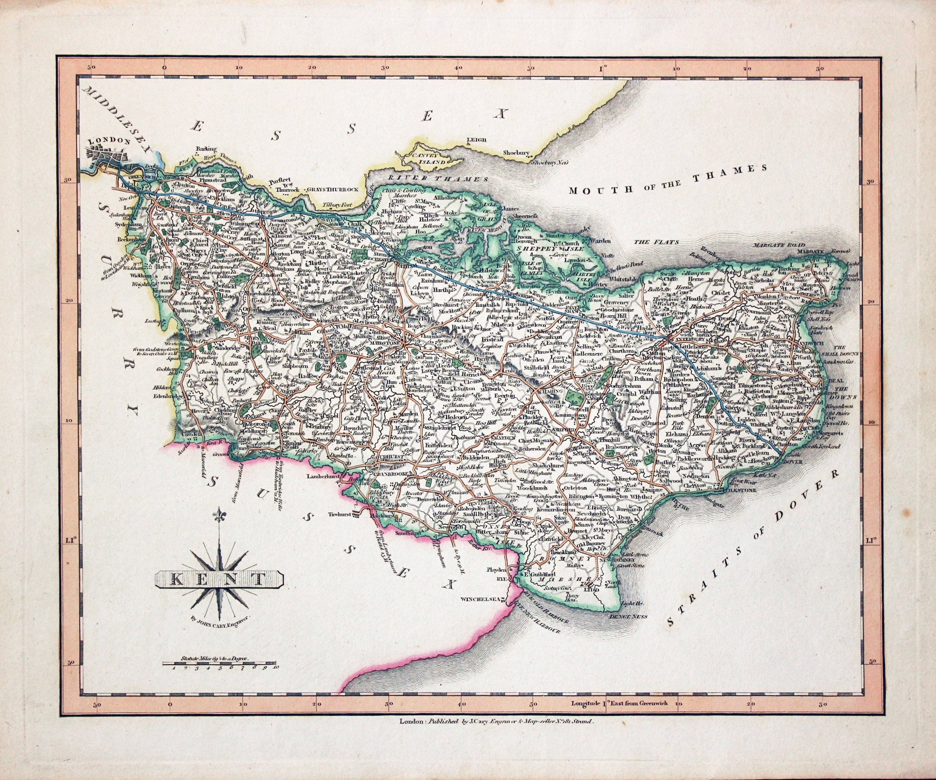
Kent, John Cary c.1810

32067 Kent, John Cary, c.1810. Price: 59.00
KENT
A good engraved map of the county. Title panel with compass rose. Publisher’s imprint beneath undated. 10 1/4 x 8 1/4 inches. Attractive original outline hand colouring. A nice clean specimen of this map in good condition.
From: Cary's New and Correct English Atlas
19th Century - Early Hand Colouring
-
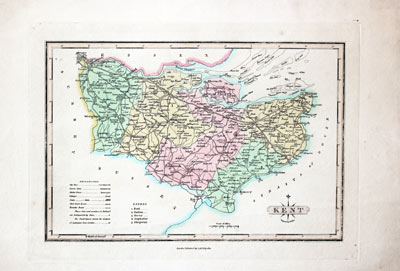
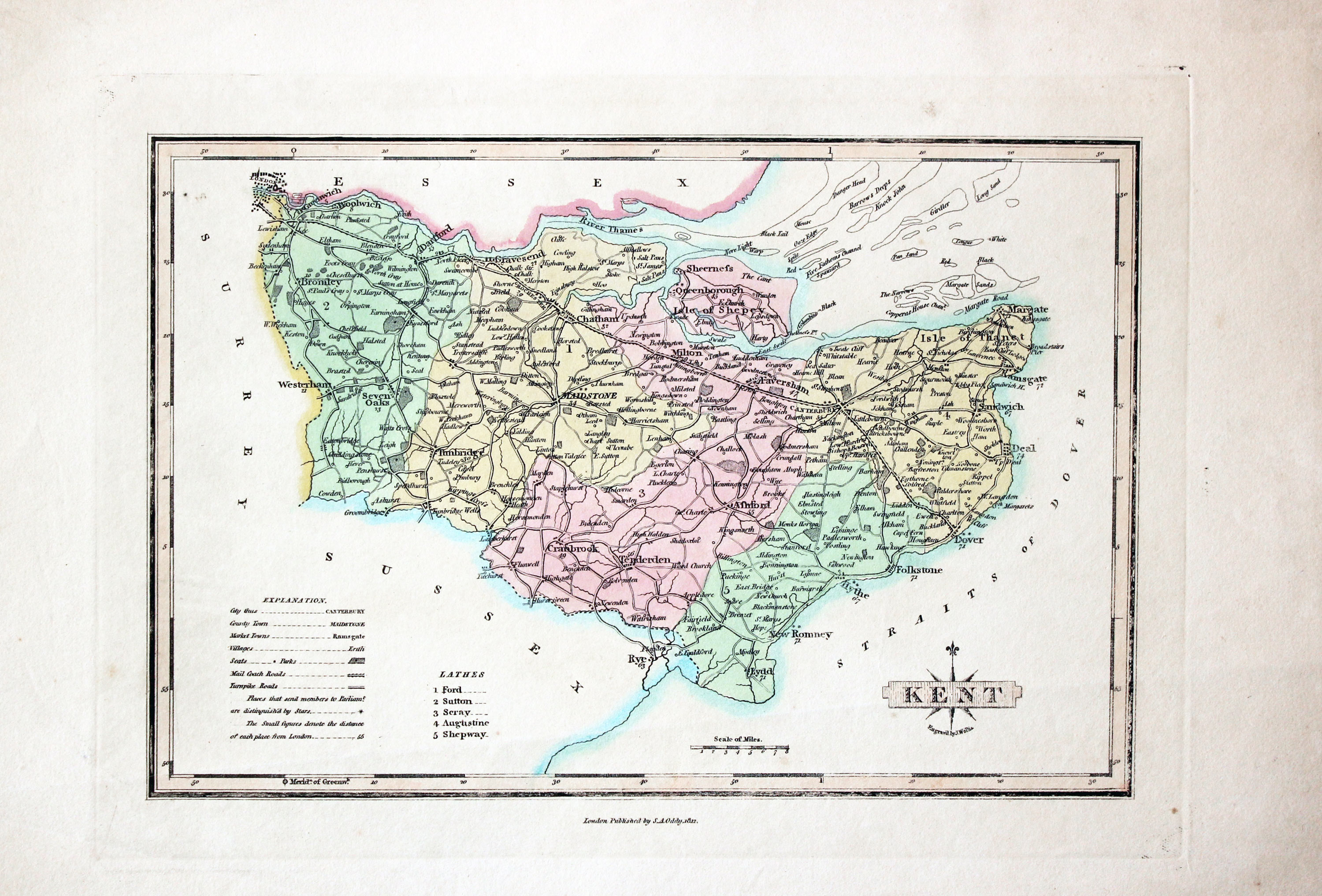
Kent, James Wallis and S. A. Oddy 1819

32069 Kent, James Wallis / S. A. Oddy 1819. Price: 29.00
KENT
An engraved map of the county with explanation, scale and list of hundreds. Title panel with compass rose. Underneath is the name of the engraver James Wallis. 10 x 6 3/4 inches. Imprint of S. A. Oddy dated 1812 beneath. Original outline and wash hand colouring. Light crease going across the bottom of the map otherwise good condition.
From: A New and Improved County Atlas
18th Century - Early Hand Colouring
-

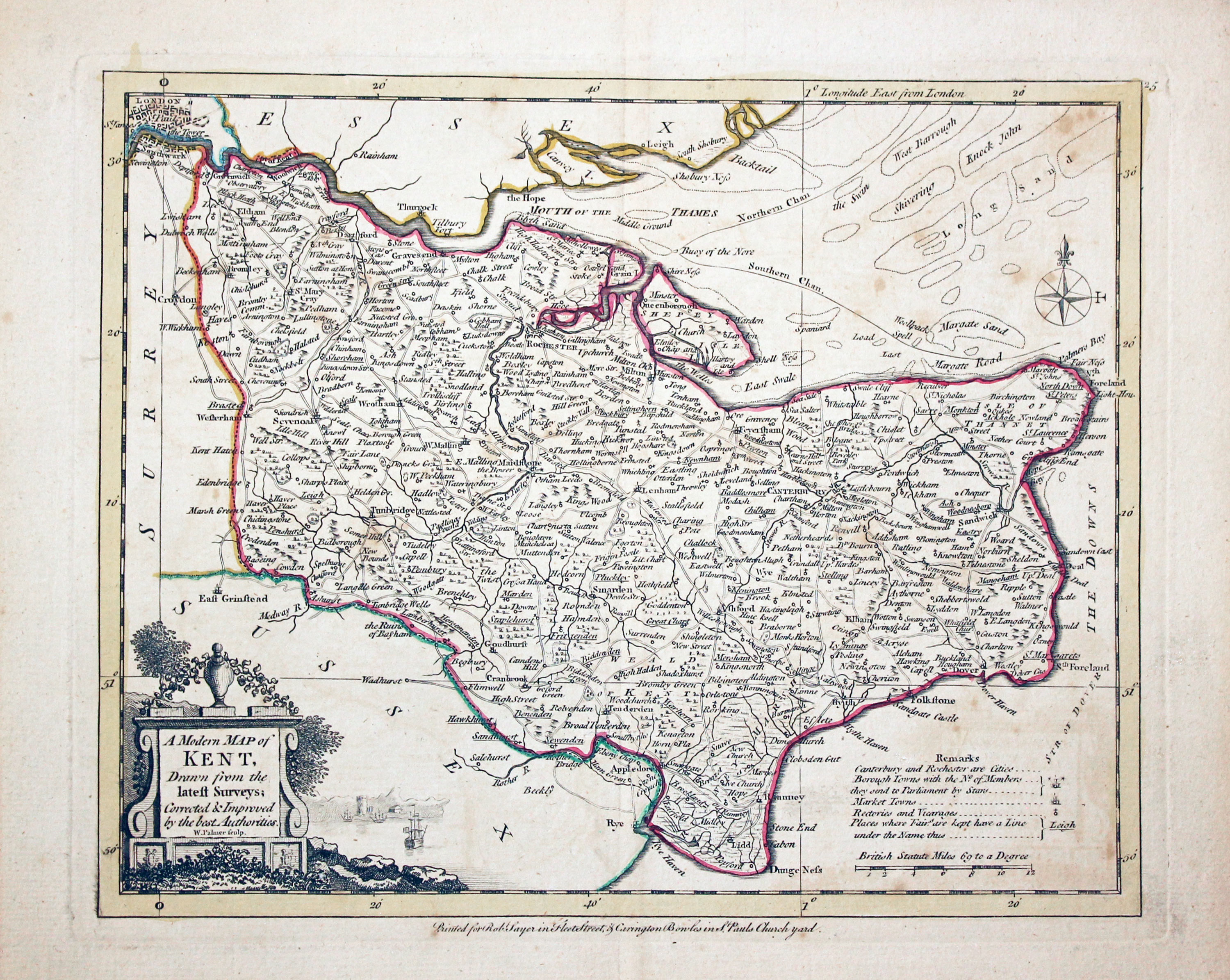
Kent, John Ellis c.1765

32071 Kent, Joseph Ellis, c.1765. Price: 75.00
A MODERN MAP OF KENT, Drawn from the latest Surveys; Corrected & Improved by the best Authorities W. Palmer sculpt.
An engraved county map embellished with a pictorial title cartouche. Compass rose, scale and remarks. Imprint of Carington Bowles in St. Pauls Church yard and Robert Sayer in Fleet Street beneath. 9 1/2 x 7 1/2 inches. Original outline hand colouring. Original centre fold. Good condition.
19th Century - Early Hand Colouring
-
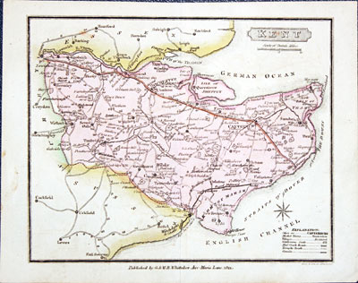
Kent, G. & W. B. Whittaker 1824

32076 Kent, G. & W. B. Whittaker 1824. Price: 21.00
KENT
A small engraved map of the county. Small title panel with explanation beneath. Compass rose and scale. 6 1/4 x 5 inches Early outline and wash hand colouring. Imprint of the publisher G. & W. B. Whittaker dated 1821. Original centre fold. Very light crease mark across the bottom corner blank margin. Otherwise good condition.
19th Century - Early Hand Colouring
-
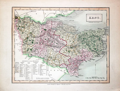
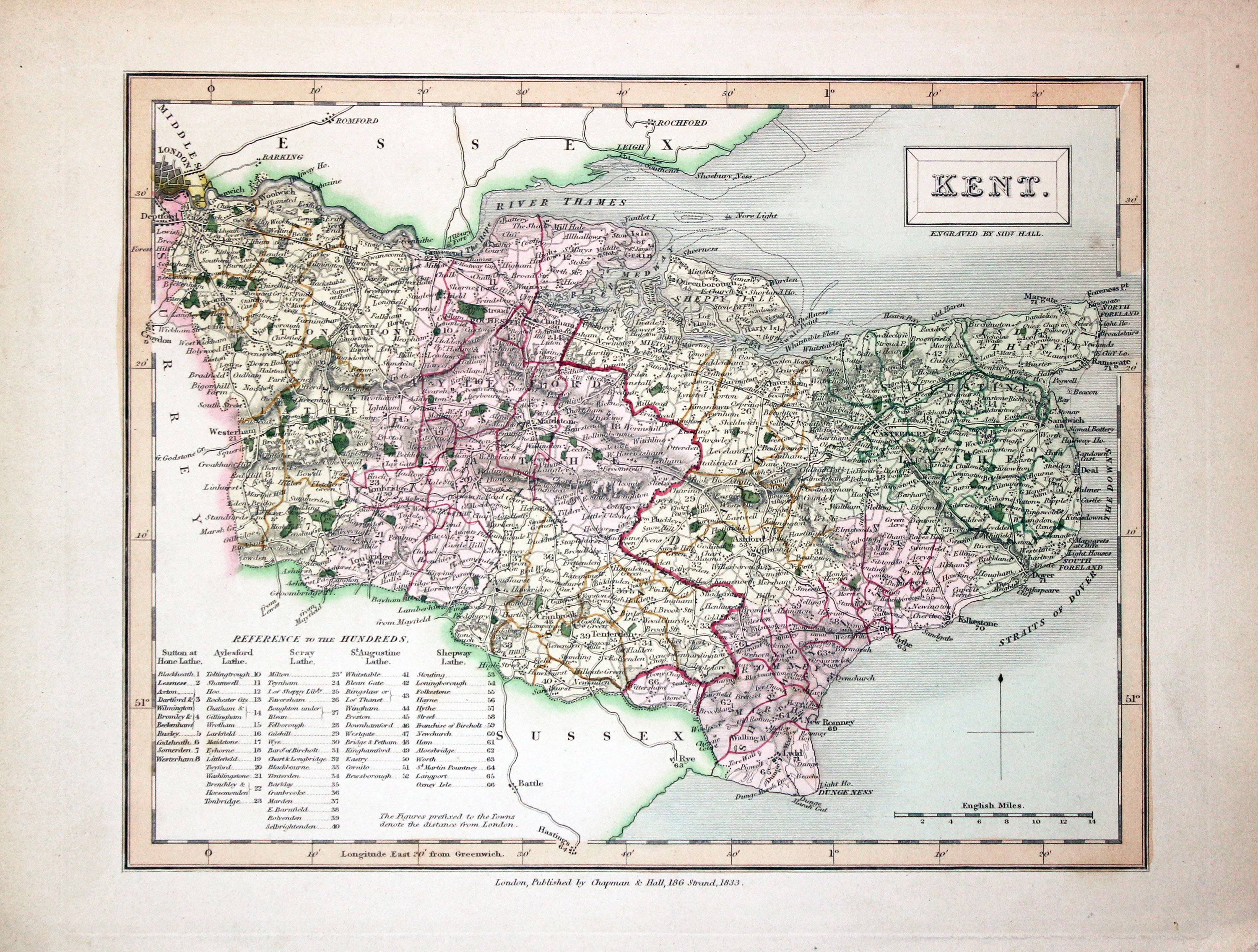
Kent, Sidney Hall 1833

32086 Kent, Sidney Hall 1833. Price: 36.00
KENT
A detailed engraved map of the county. 9 1/2 x 7 1/4 inches. Attractive original outline and wash hand colouring. Publishers imprint beneath dated 1833. Good clean undamaged condition.
From: A New British Atlas
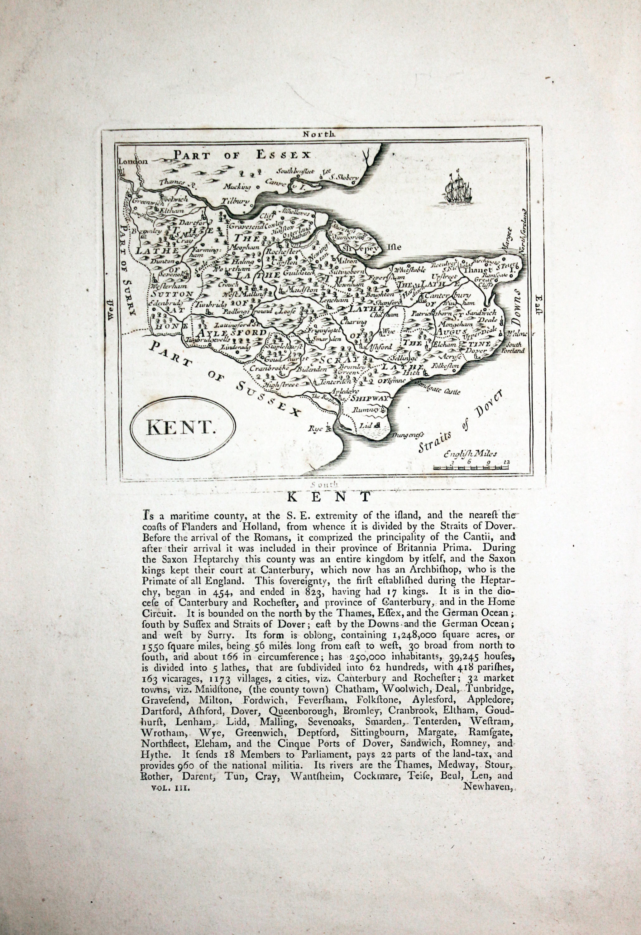
18th Century
-
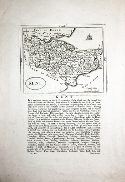
Kent, John Seller c.1787

32091 Kent, John Seller, c.1787. Price: 35.00
KENT
An engraved county map with an oval title panel. 5 x 4 inches. Uncoloured. Descriptive text beneath and on verso. Good condition. Light creases across the top left and right blank margin corners. Otherwise good condition.
From: Francis Grose's The Antiquities of England and Wales
19th Century - Early Hand Colouring
-
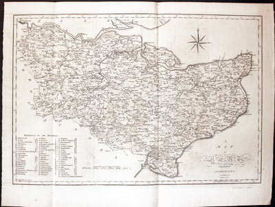
Kent, John Cary c.1806

32129 Kent, John Cary c.1806. Price: 56.00
A MAP OF KENT FROM THE BEST AUTHORITIES ENGRAVED BY J. CARY
A good sized detailed engraved county map. List of hundreds, scale and compass rose. 19 x 15 1/2 inches. Uncoloured. Folding creases as published. Three small regions in blank areas of very light brown marks otherwise good condition.
From: Britannia or A Chrographical Description of England Translated by Richard Gough
19th Century
-
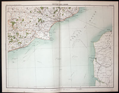
Part of Kent, John Bartholomew c.1898

32173 Part of Kent, John Bartholomew, c.1898. Price: 17.50
SECTION XXIX, DOVER
A colour printed map showing part of Kent with the English Channel and section of the French coast. Scale of 4 miles to the inch. Shows the railways. 16 1/2 x 12 1/2 inches. Small slit at the bottom of the centre fold otherwise good clean condition.
From: The Royal Atlas
19th Century
-

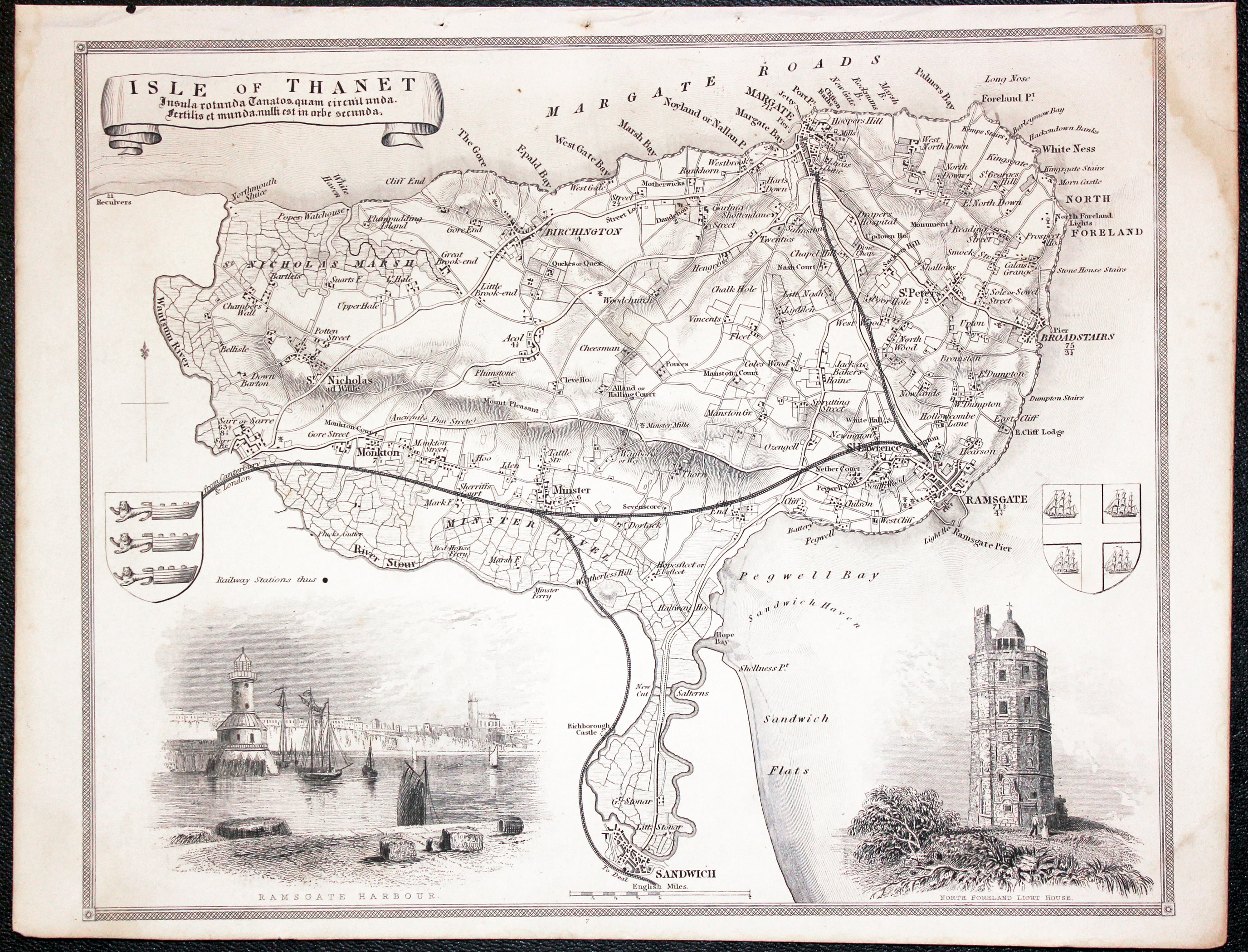
Isle of Thanet, Kent by Thimas Moule c.1850

32356 Isle of Thanet, Thomas Moule, c.1850. Price: 29.00
ISLE OF THANET....
A detailed Victorian map of this area of Kent. The map is decorated with a title banner, two coats of arms and vignette views of Ramsgate Harbour and the North Foreland Lighthouse. 9 3/4 x 8 inches, 248 x 200 mm. Uncoloured. Three small binding holes in the top blank margin which is quite common. Light water stain in the top right hand blank margin, otherwise good condition.
From: Barclay's Dictionary
Very Early 19th Century
-
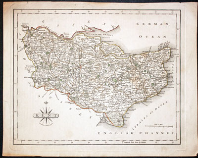
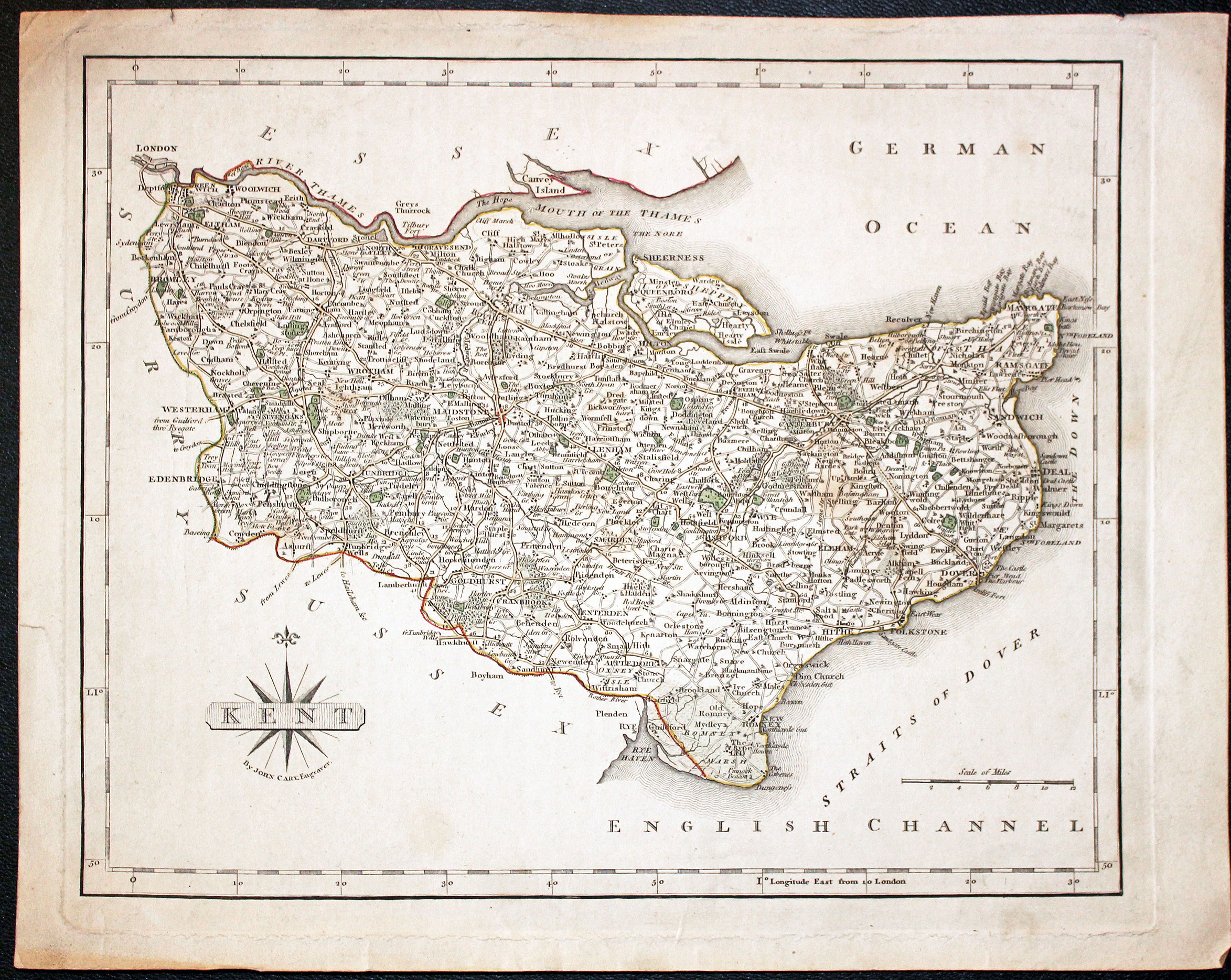
Map of Kent by John Cary, c.1800

32524 Kent, John Cary, c.1800. Price: 28.00
KENT
A good engraved map of the county. Title panel with compass rose. The publisher’s imprint usually seen beneath the map is missing. The style of colouring is similar to that found on the 1787 and 1793 editions of this map. 10 1/4 x 8 1/4 inches. Original outline hand colouring. Three tiny nicks on the edges of the blank margins. Some light soiling. Some soiling on verso.
From: Cary's New and Correct English Atlas
SPECIAL PRICE
Late 19th Century
-

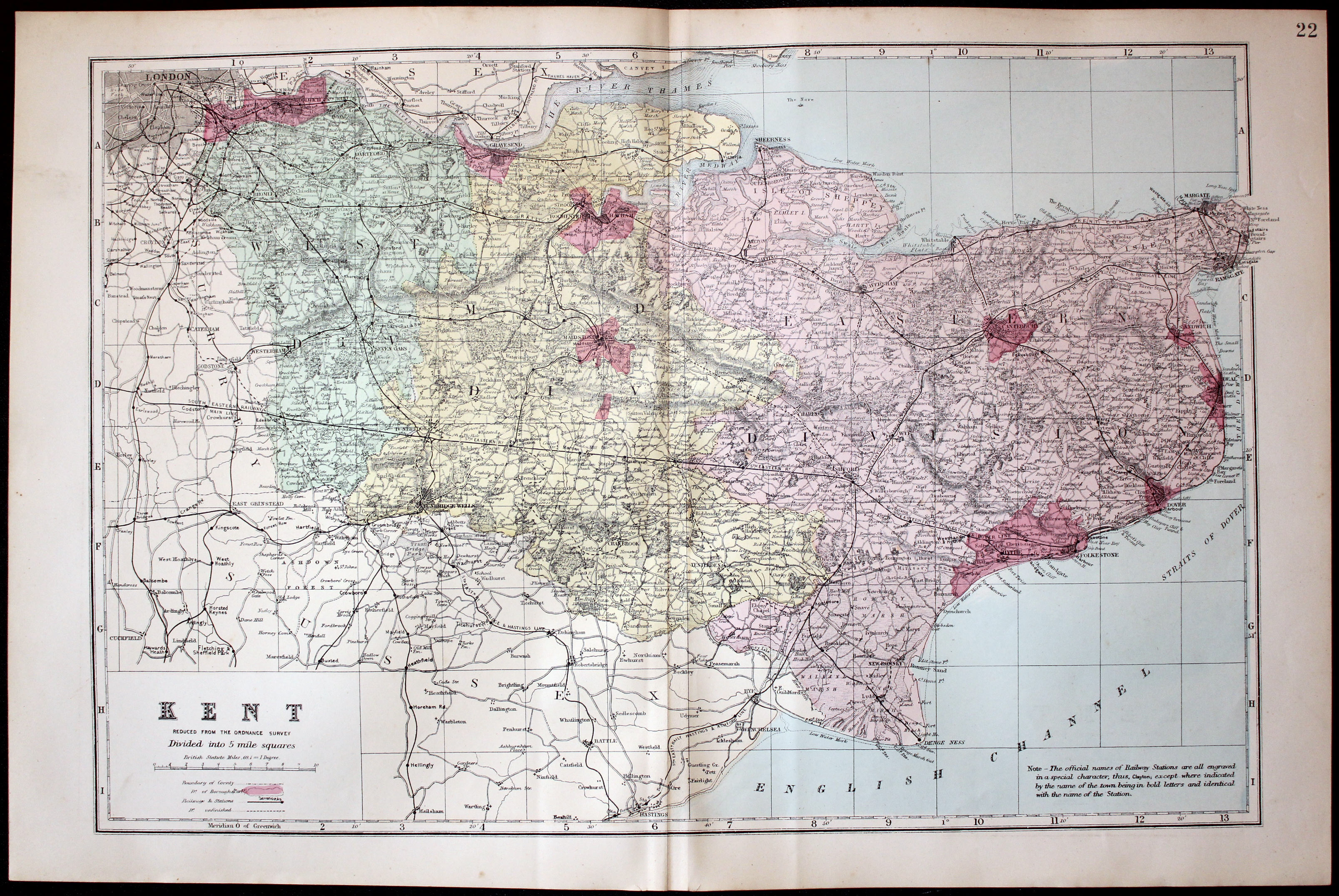
Map of Kent by George Washington Bacon 1883

32531 Kent, George Washington Bacon, 1883. Price: 25.00
KENT REVISED FROM THE ORDNANCE SURVEY. DIVIDED INTO 5 MILE SQUARES
A good detailed late 19th century colour lithograph map of the county. Shows the railways. Original centre fold. 17 1/2 x 11 3/4 inches. Good clean condition.
From: The New Ordnance Atlas of the British Isles
Late 19th Century - Plan
-
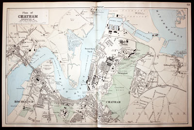
Plan of Chatham, Kent by John Bartholomew c.1883

32535 Chatham and Medway, John Bartholomew, c1883. Price: 42.00
PLAN OF CHATHAM, ROCHESTER &c REDUCED FROM THE ORDNANCE SURVEY SCALE - SIX INCHES TO ONE STATUTE MILE
An interesting detailed lithograph plan including Strood, Rochester, Chatham, Brompron and Gillingham on the Medway. 19 1/4 x 12 1/4 inches. Good clean condition.
From: The New Ordnance Atlas of the British Isles
Late 18th Century - Early Hand Colouring
-

Map of Kent, John Cary, 1792
32568 Kent, John Cary, 1792. Price: 14.00
KENT
A small engraved map of the county. Tile panel surmounted by half compass rose. Panel at bottom with list of distances from London. Publisher’s imprint beneath dated 1792. 3 1/2 x 4 3/4 inches. Thin paper. Original outline hand colouring. Good condition.
From: Cary’s Traveller’s Companion
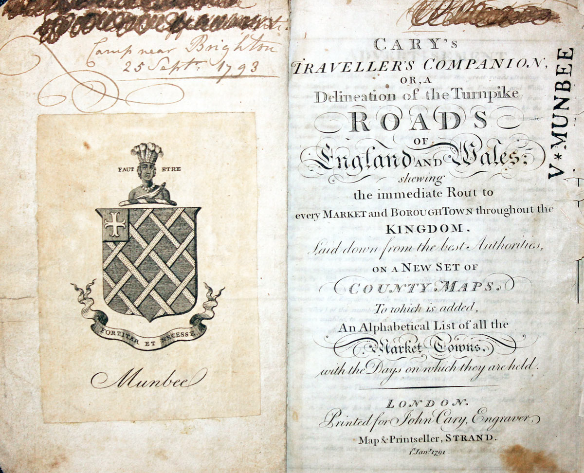
Titlepage dated 1791, maps dated 1792. The atlas was formerly in the Mumbee family library - title page stamped V. Munbee
Provenance
-
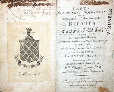
Cary Titlepage and Munbee Bookplate

Early 17th Century
-
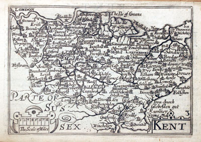
Nent by Pieter van den Keere, c.1627

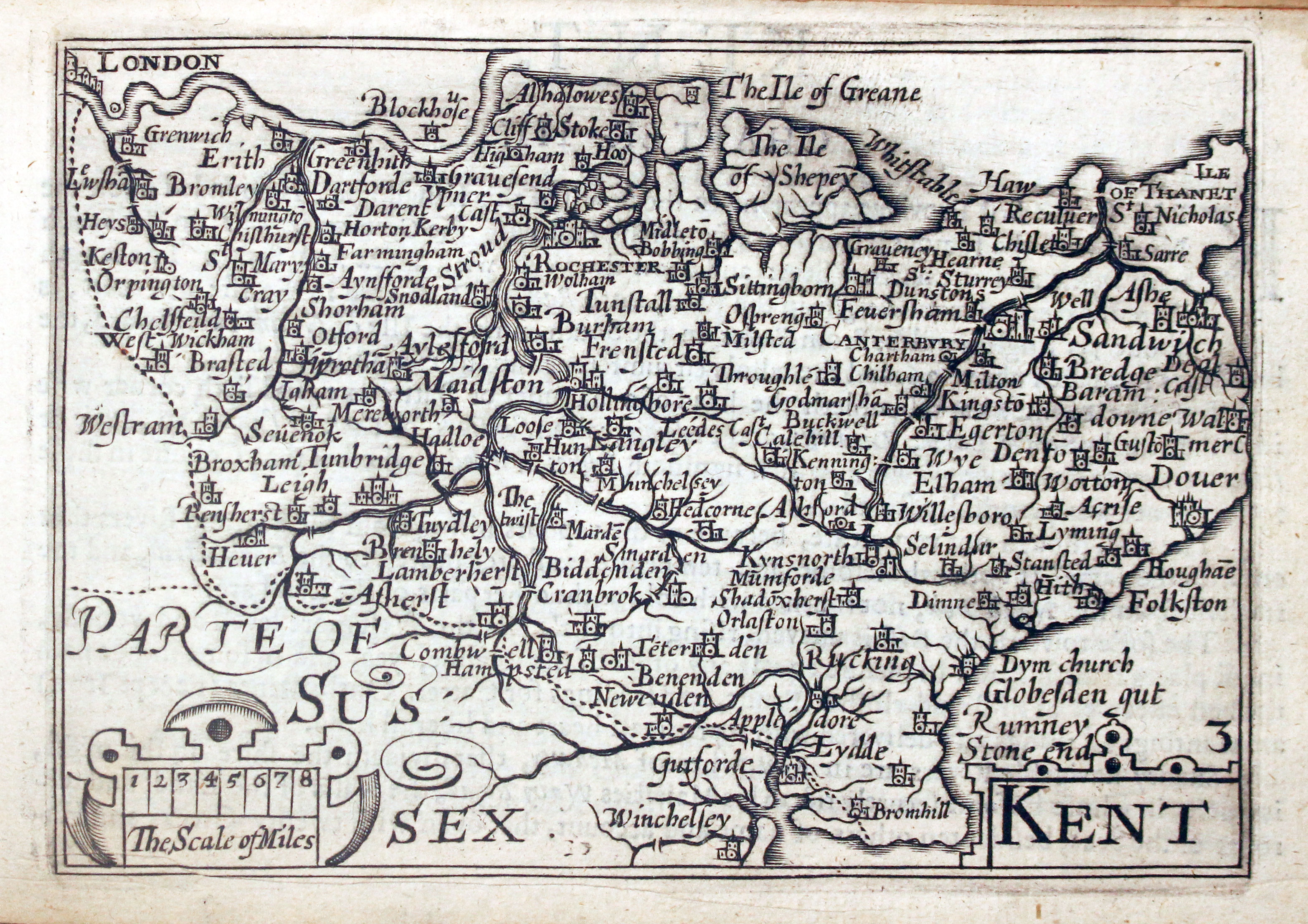
32617 Kent, Pieter van den Keere, c.1627. Price: 110.00
KENT
A early engraved miniature map of the county. Embellished with decorative title scale cartouches. Numbered 3. 4 3/4 x 3 1/4 inches. A good clean undamaged uncoloured specimen. A description in Kent appears on verso and with the map are the further two pages of double sided text. Straight from the atlas and not previously sold as a single map. The title page of the atlas is dated 1627
From: England Wales Scotland and Ireland Described
Late 19th Century
-
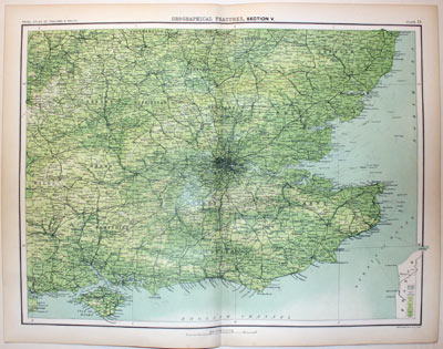
South WEast England, John Bartholomew c.1898

32871 South East England, S.D.U.K. c.1834. Price: 22.00
GEOGRAPHICAL FEATURES, SECTION V
A colour printed map showing the South East part of England including the counties of Oxfordshire, Buckinghamshire, Bedfordshire, Hertfordshire, Essex, Berkshire, Hampshire, Surrey, Sussex, Kent and Middlesex. Scale of 10 miles to the inch. Shows the railways. 16 3 /4 x 12 1/2 inches. Good clean condition.
From: The Royal Atlas
19th Century
-
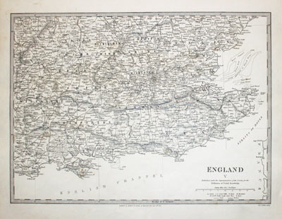
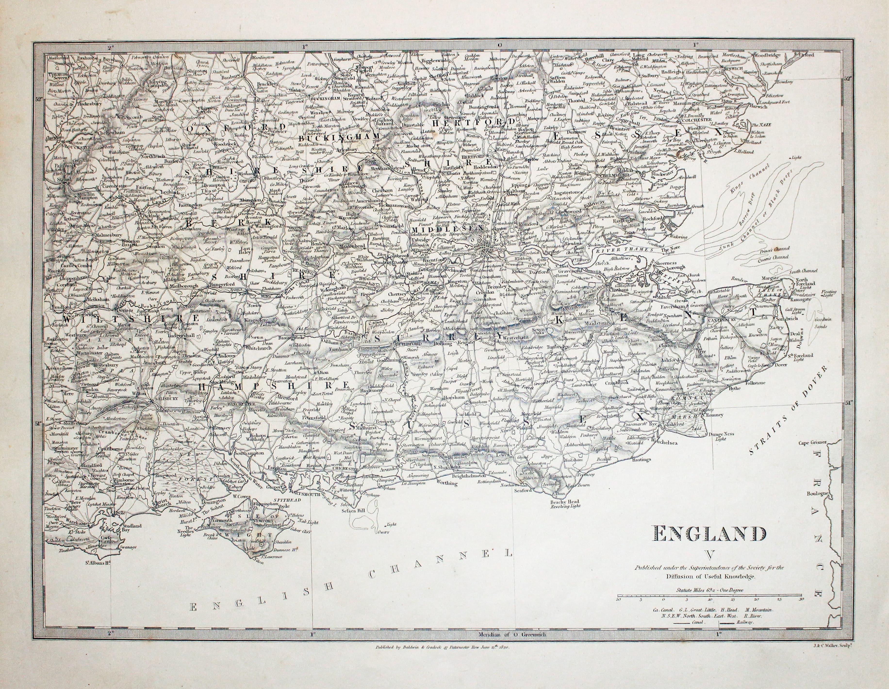
South WEast England, John Bartholomew c.1898

32871 South East England, S.D.U.K. c.1834. Price: 23.00
ENGLAND V
An interesting map engraved by J. & C. Walker showing south east England Published by Baldwin & Craddock for the S.D.U.K. short for Society for the Society of the Diffusion of Useful Knowledge. Publishers imprint beneath dated 1830. 14 1/4 x 10 1/2 inches. Uncoloured. Good condition.
Early 17th Century
-
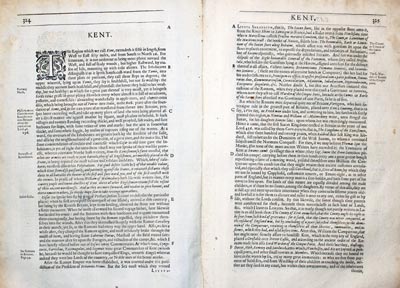
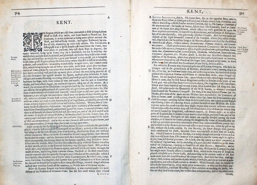
Kent Text from Camden's Britannia 1637

32884 Kent William Camden, 1637. Price: 10.00
KENT
Pages 323 - 355 inclusive describing the county of Kent in English. About 13 x 8 inches. Good condition.
From: Camden’s Britannia
19h Century - Early Hand Colouring
-

Kent by Samuel Lewis 1848

32916 Kent, Samuel Lewis, 1848. Price: 34.00
KENT
A county map drawn by R. Creighton and engraved by J. & C. Walker. Reference to the Unions. 9 x 6 3/4 inches. Original outline hand colouring. Good clean condition. Straight from the atlas and not sold as a single map before now. From Lewis' Atlas to the Topographical Dictionaries of England and Wales
19th Century
-

Map of Kent by Thomas Letts

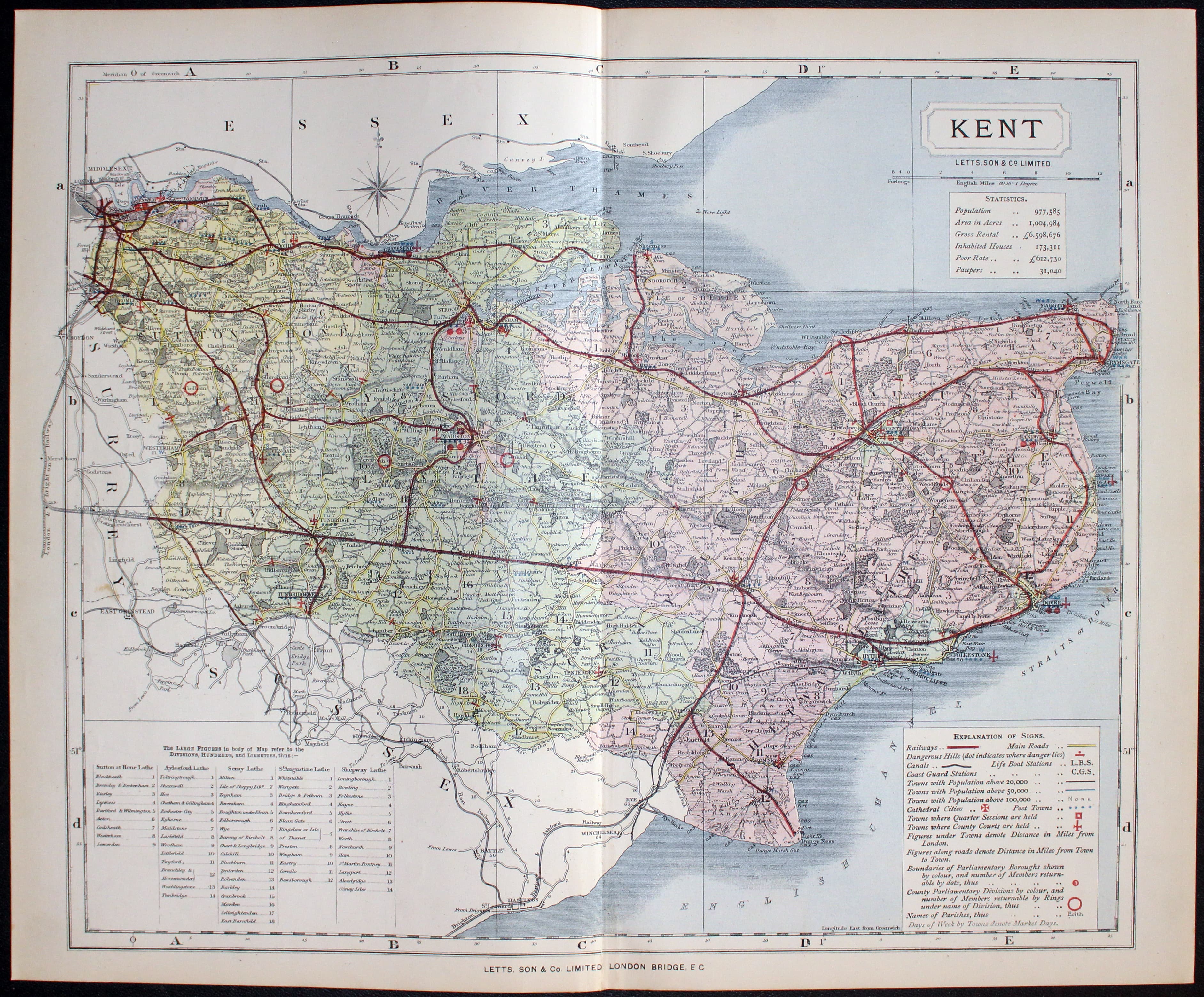
32972 Kent, Thomas Letts, 1884. Price: 34.00
KENT
A detailed chromolithograph map of the county. Explanation plus statistics concerning Population, Area, Inhabited Houses, Poor Rate and Paupers. 12 3/4 x 15 3/4 inches. Original centre fold. Imprint of Letts & Son beneath. Fine clean condition. Straight from the atlas so never previously been sold as a single map.
From: Lett’s Popular County Atlas
19th Century
-
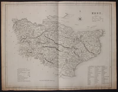
Map of Kent by T. L. Murray 1832

33013 Kent, T. L. Murray, 1832. Price: 22.00
KENT
A detailed engraved county map with list of lathes and hundreds, explanation and scale. 17 3/4 x 14 inches. Uncoloured. Single 1 inch tear bottom left margin extending into blank area. 1/2 inch top left Margin extending into blank area. Some light soiling around the edges but otherwise good condition.
From: Atlas of the English Counties.
18th Century
-
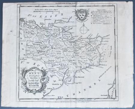
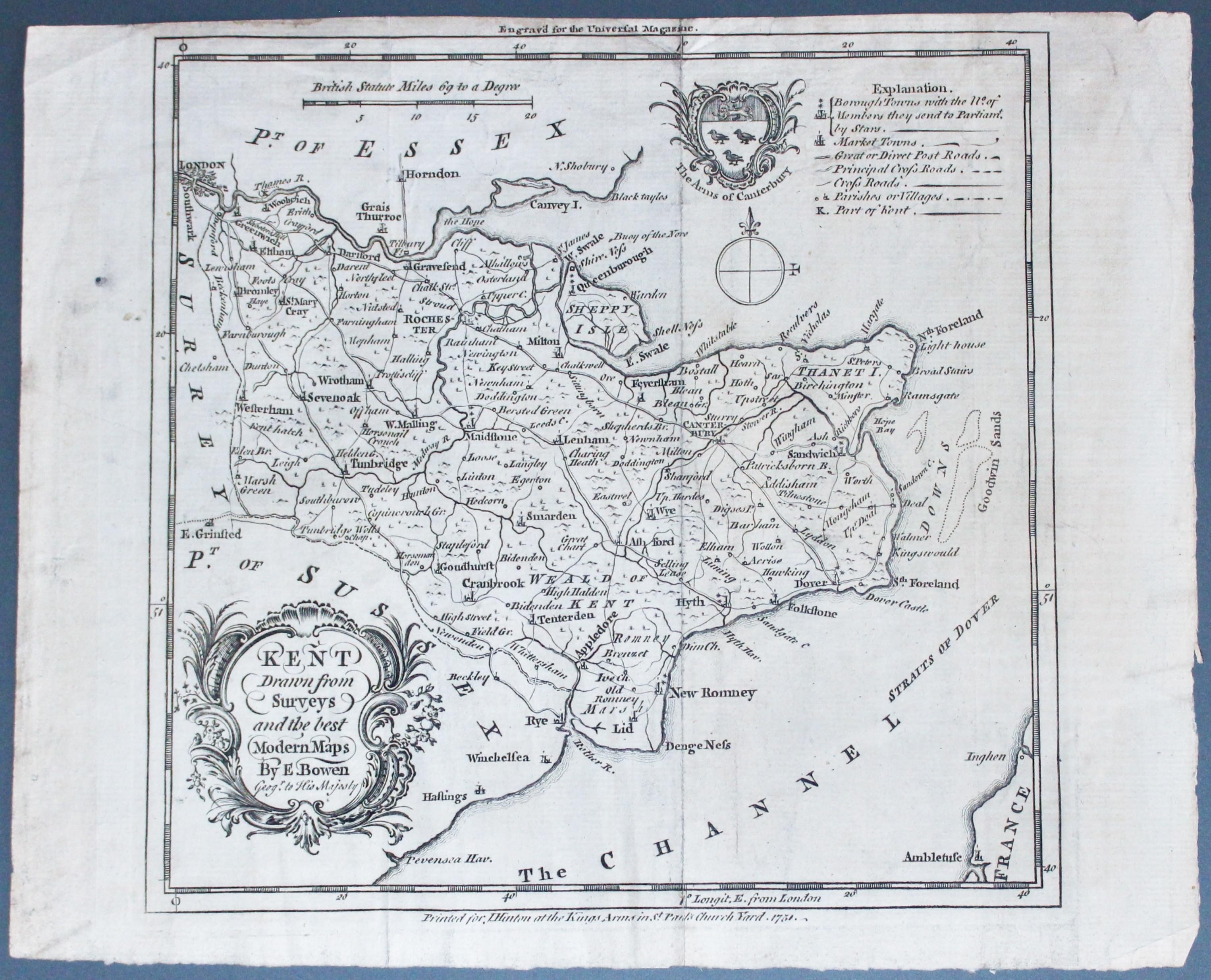
Map of Kent by Emanuel Bowen c.1749

33016 Kent, Emanuel Bowen, c.1749. Price: 24.00
KENT DRAWN FROM THE BEST AUTHORITIES
An engraved map of the county embellished with a rococo title cartouche and the Arms of Canterbury. Explanation and scale. Above the map appears Engraved for the Universal Magazine. Beneath the publisher Hinton’s imprint dated 1751. 7 1/2 x 7 1/4 inches. Orignal centre fold. Uncoloured. Pin hole in left hand blank margin. Some dust soiling.
From: The Universal Magazine
18th Century
-
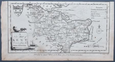
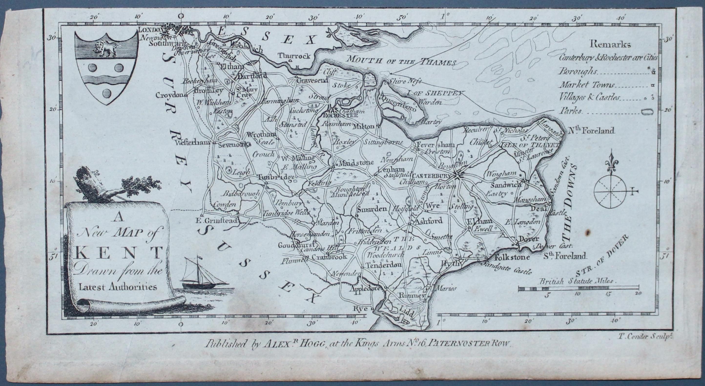
Map of Kent by George A. Walpole c.1784

33019 Kent, George A. Walpoole, c.1784. Price: 20.00
A NEW MAP OF KENT DRAWN FROM THE BEST AUTHORITIES
An engraved map of the county embellished with a pictorial cartouche and coat of arms. Compass pointer, remarks and scale. The imprint of the publisher Alexander Hogg at the Kings Arms No. 16 Paternoster Row appears beneath the map. No top blank margin which is normal as the appears on a sheet with others. Uncoloured. Some dust soiling.
From The New British Traveller

Early 19th Century
-
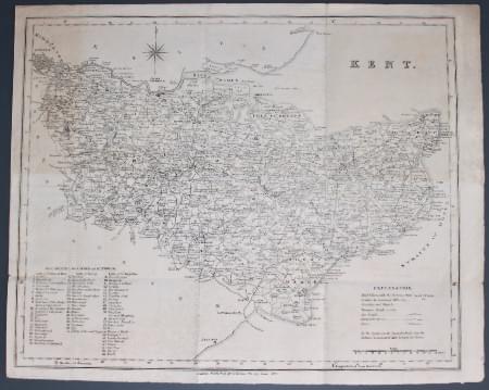
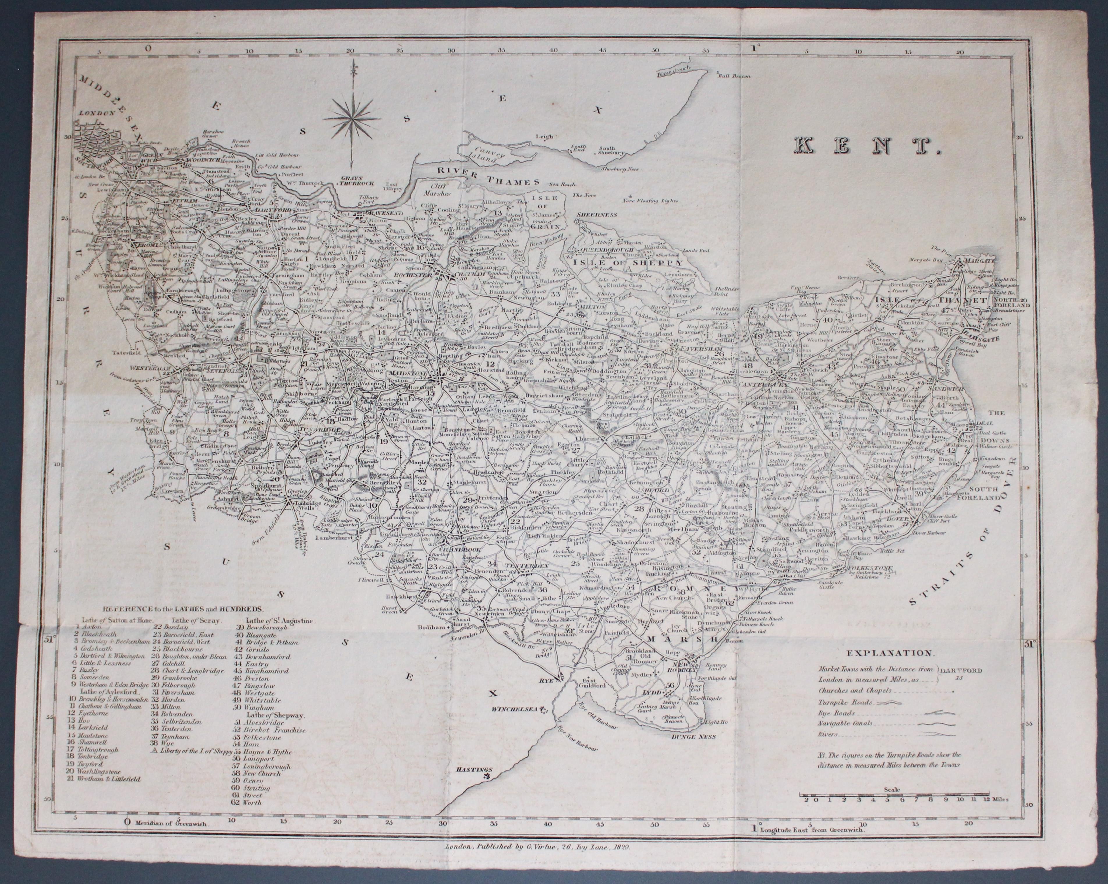
Map of Kent by George Virtue. c.1829

33021 Kent, George Virtue, c.1829. Price: 29.00
KENT
An engraved map of the county with compass rose. explanation, scale and a list of 62 Lathes and Hundreds. 16 x 12 1/2 inches. Uncoloured. Publishers imprint beneath reading London, Published by G. Virtue, 26, Ivy Lane, 1829. Has been a folding map. Good heavy paper. Good condition.
18th Century
-
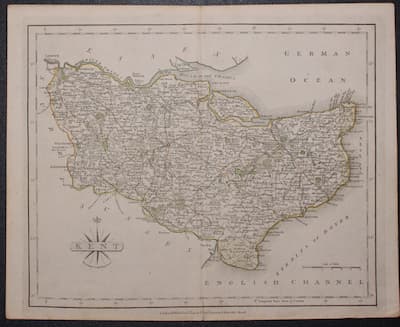
Map of Kent by George A. Walpole c.1784

33022 Kent, John Cary, 1793. Price: 30.00
KENT
A good engraved county map. Title panel and compass rose combined. 10 1/4 x 8 1/4 inches. Original hand colouring. Original centrefold. Very small split at the bottom of the centre fold otherwise good condition.
From Cary's New and Correct English Atlas
19th Century
-
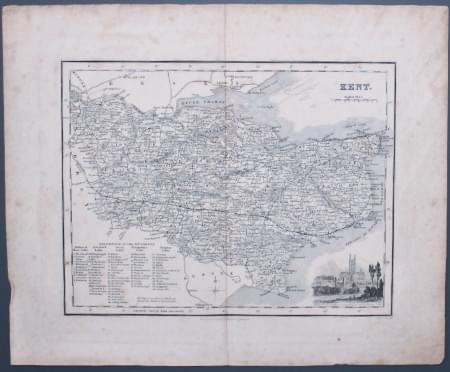
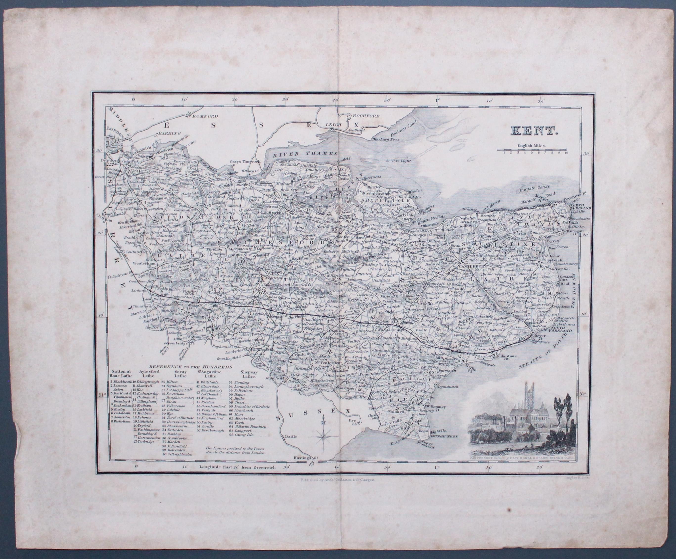
Map of Kent by Archibald Fullarton c.1843

33047 Kent, Archibald Fullarton, c.1843. Price: 19.00
KENT A detailed engraved map of the county embellished with a vignette view of Canterbury including Cathedral & St.. Augustine’s Gate. Scale and list of hundreds. 9 1/4 x 7 1/4 inches. Uncoloured. Good wide blank margins. Original centre fold. Some light foxing and dust staining. Would respond to cleaning.
From: The Parliamentary Gazetteer
19th Century
-

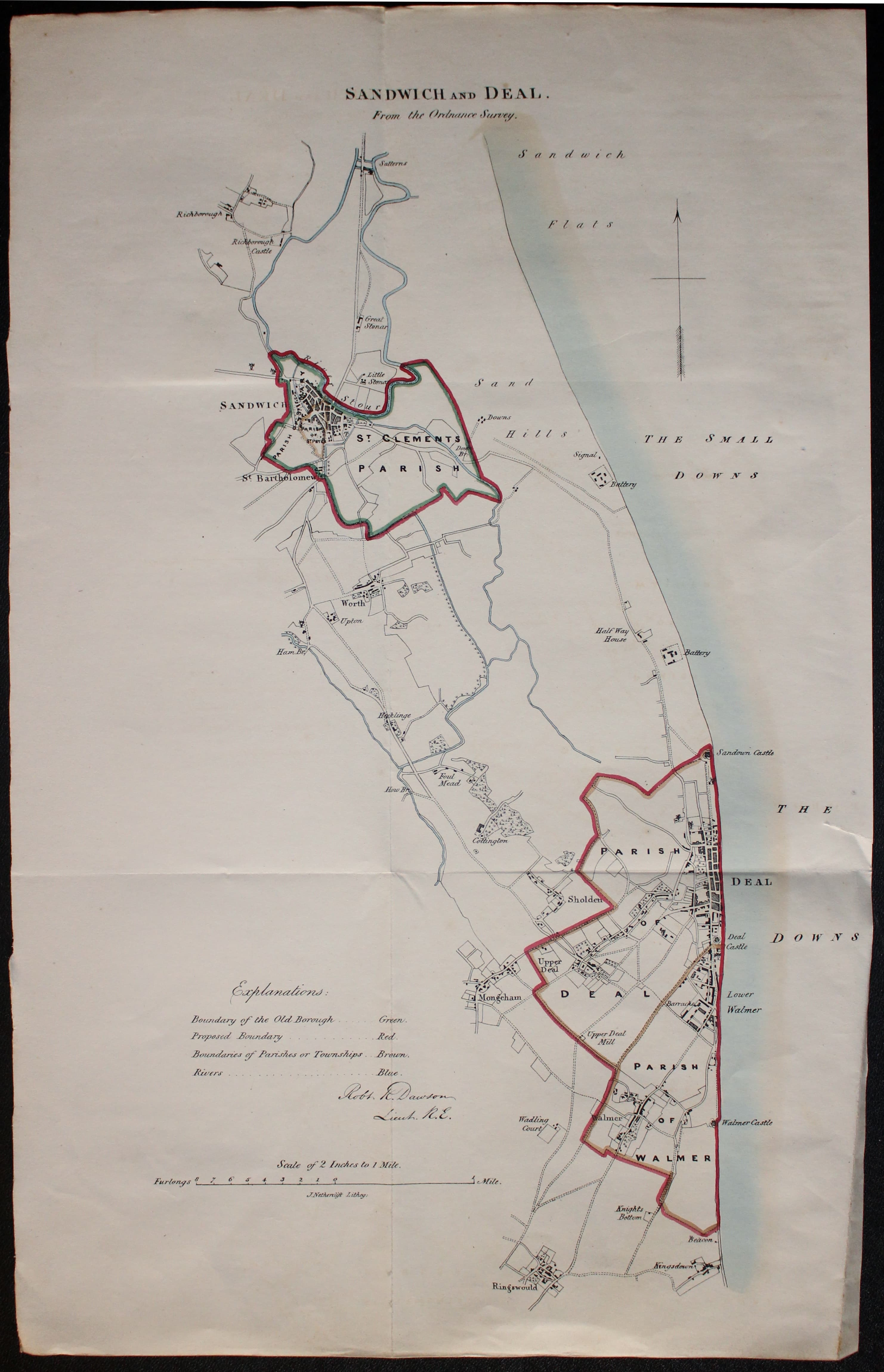
Map of Sandwich and Deal, Kent by Lt. R. K. Dawson 1832

33053 Sandwich and Deal, Lt. Robert Kearsley Dawson, 1832. Price: 26.00
SANDWICH AND DEAL
A lithograph map of Sandwich, Deal and environs on a scale of 2 inches to the mile. Compass pointer and explanation. About 10 x 17 inches. Original outline hand colouring. With original pages of text. Crease in bottom right hand blank area and a small tear in this blank area. Original vertical and horizontal folds.
From Plans of the Cities and Boroughs of England and Wales.
19th Century
-

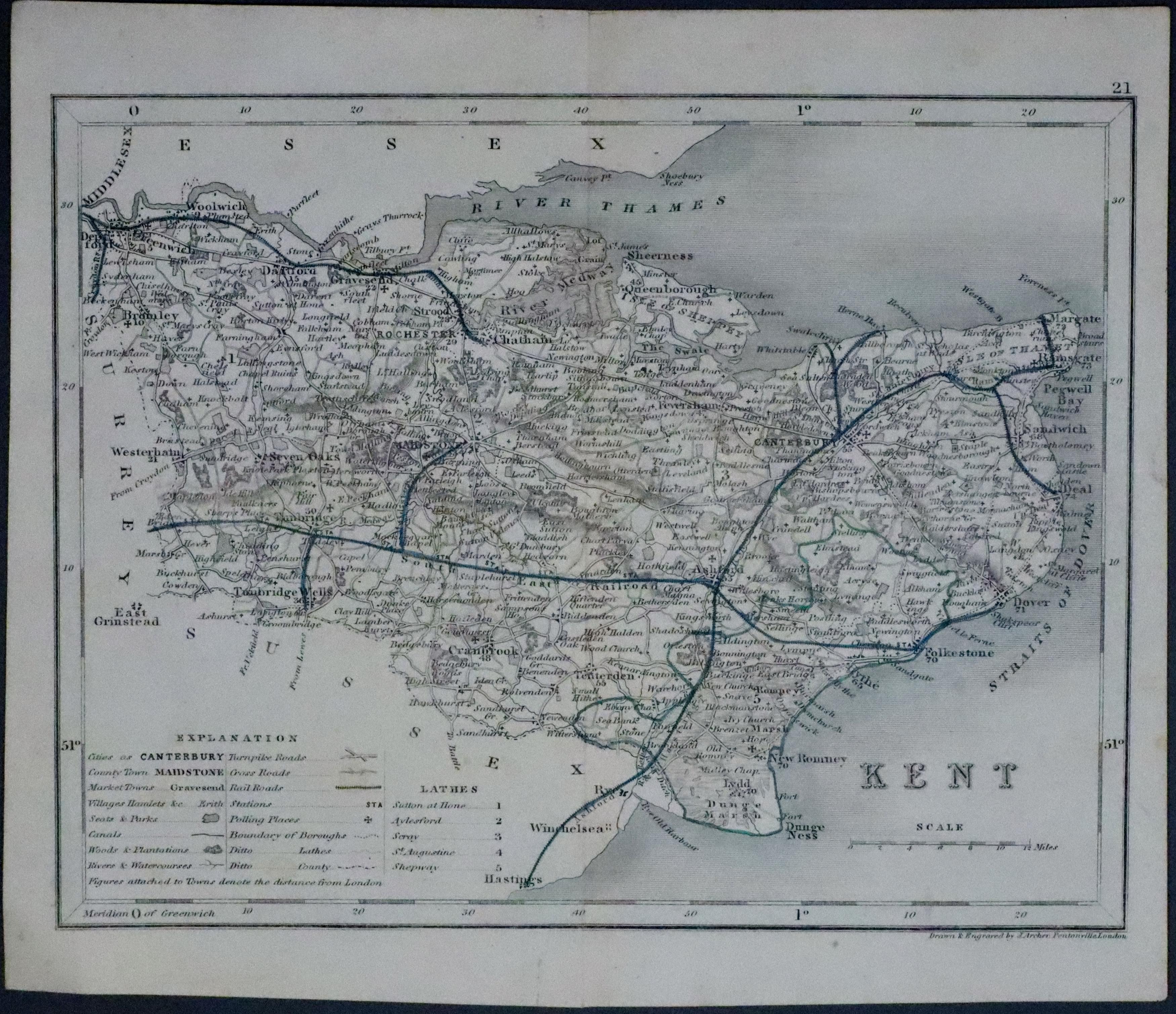
Map of Rochester. Kent by Lt. R. K. Dawson 1832
33244 Kent, Joshua Archer, c.1845. Price: 24.00
KENT
A detailed engraved map of the county. Explanation and list of hundreds. 9 1/4 x 7 inches. Uncoloured except for the railways. Shows the railways marked with early hand coloured blue lines. Original centre fold. Good condition.
From: Dugdale's England and Wales Delineated.
19th Century
-
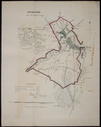
Map of Rochester. Kent by Lt. R. K. Dawson 1832
33054 Rochester, Lt. Robert Kearsley Dawson, 1832. Price: 22.00
ROCHESTER FROM THE ORDNANCE SURVEY
A lithograph map of Rochester and environs on a scale of 2 inches to the mile. Compass pointer and explanation. About 8 x 10 inches. Original hand colouring. Original fold crease. Some brown marks in the right hand side blank margin.
From: Plans of the Cities and Boroughs of England and Wales.
Deatiled Antique Map of Kent with Early Hand Colouring
-

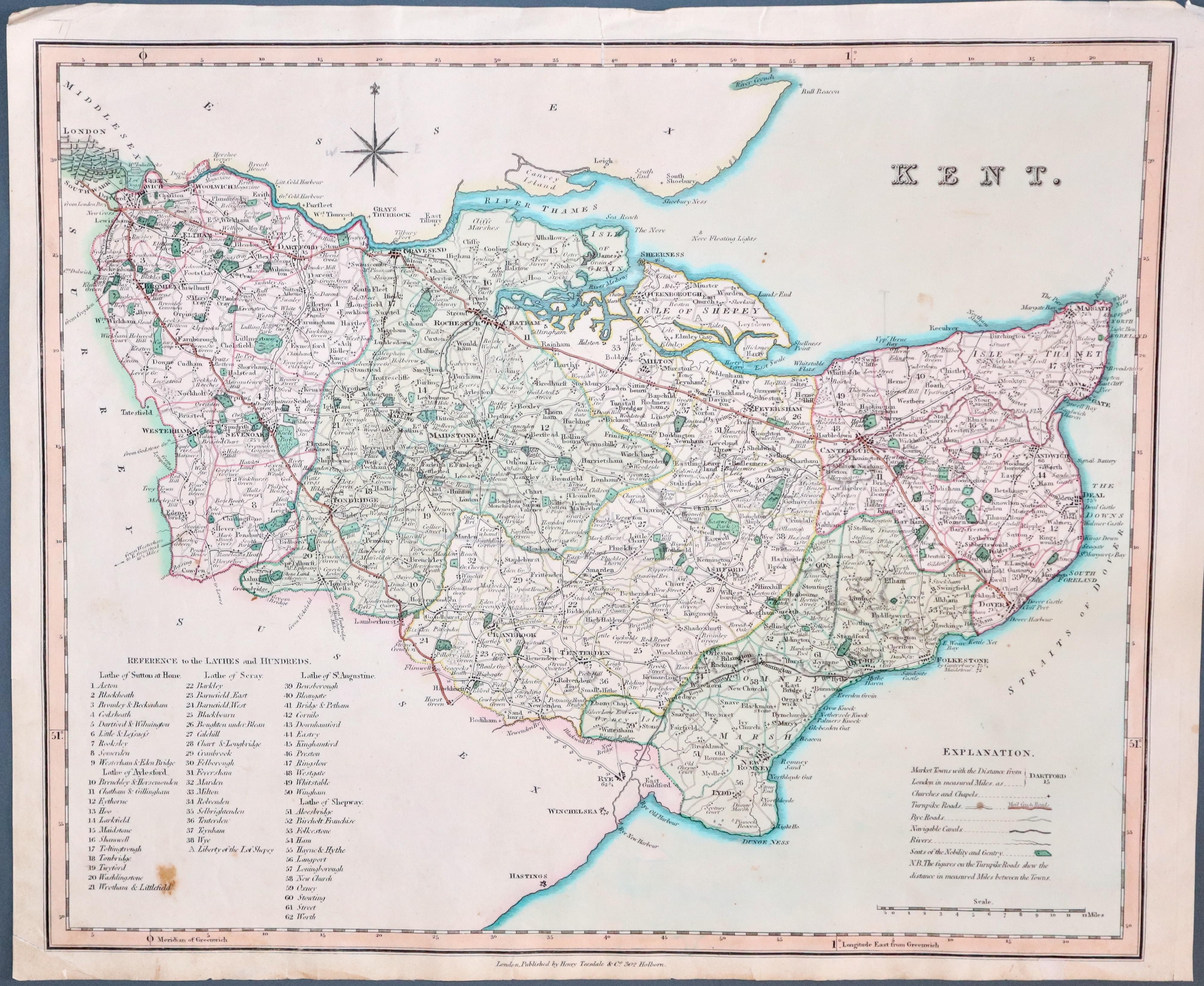
Map of Kent by Henry Teesdale c.1835

33386 Kent, Henry Teesdale, circa 1835. 30.00
KENT
A good detailed engraved map of the county divided into its sixty-two Lathes. Explanation, scale, compass rose and list of Lathes. 16 x 13 1/4 inches. Good early outline and wash hand colouring. Whatman paper watermarked. Small tear in top margin that just reaches the printed border. Some other small nicks in bottom blank margin. Small brown mark in the list of hundreds.
From: New British Atlas, Containing a Complete Set of County Maps, on which are delineated the Mail, Turnpike and Principal Crossroads..
Early 18th Century
-

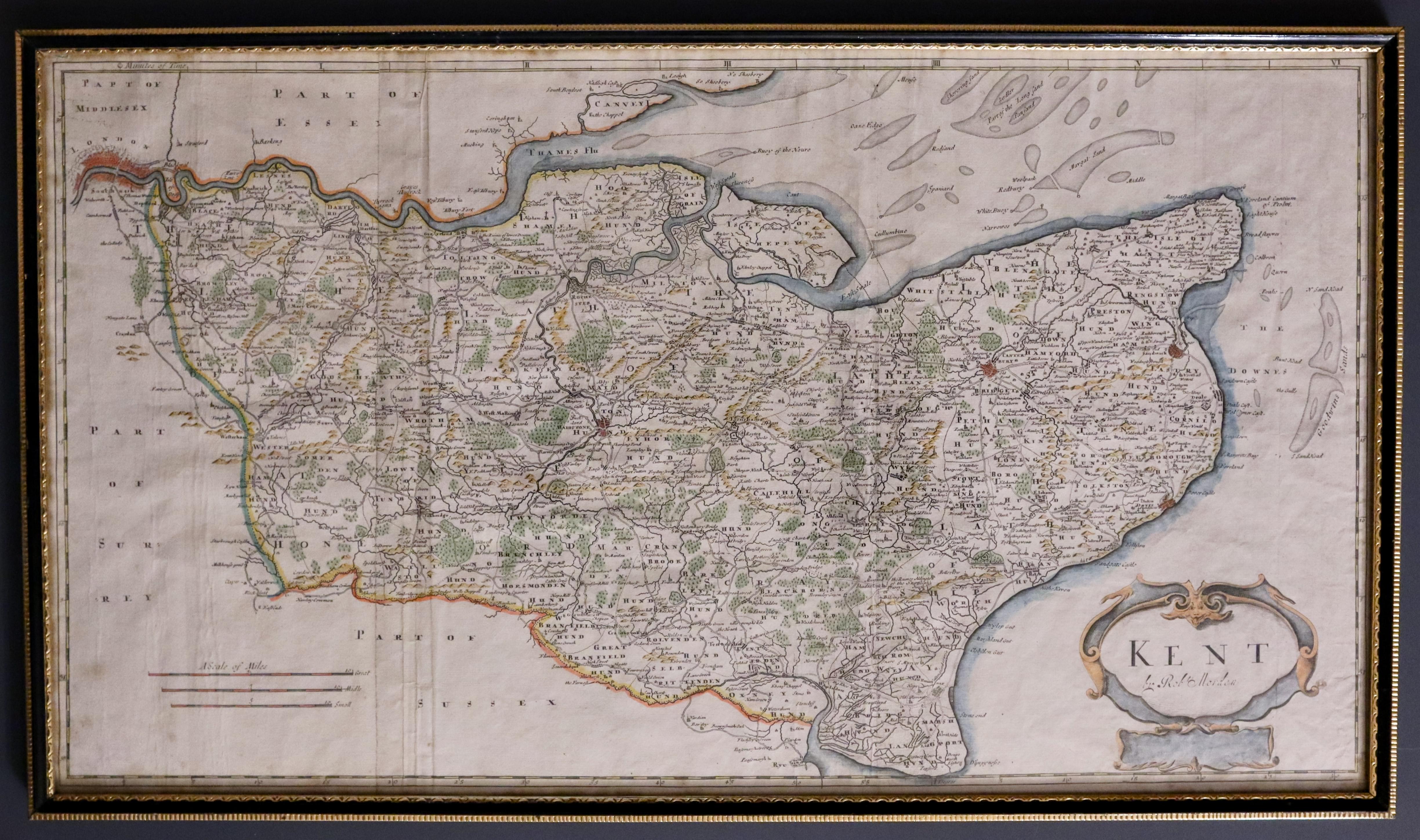
Kent, Robert Morden 1722
33426 Kent, Robert Morden, c.1722. Price: 135.00
KENT BY ROBT. MORDEN
A good engraved map of the county embellished with a decorative title cartouche. Three scales. 24 x 13 inches. Later hand colouring. Good condition. Framed many years ago in a black and gilt hogarth moulding which is still in good condition.
From Camden's Britannia
I have not examined this map outside of the frame so it is sold as seen.
ONLY AVAILABLE BY COLLECTION FROM CHRISTLETON
Scarce Map of East Kent on a Good Scale
-

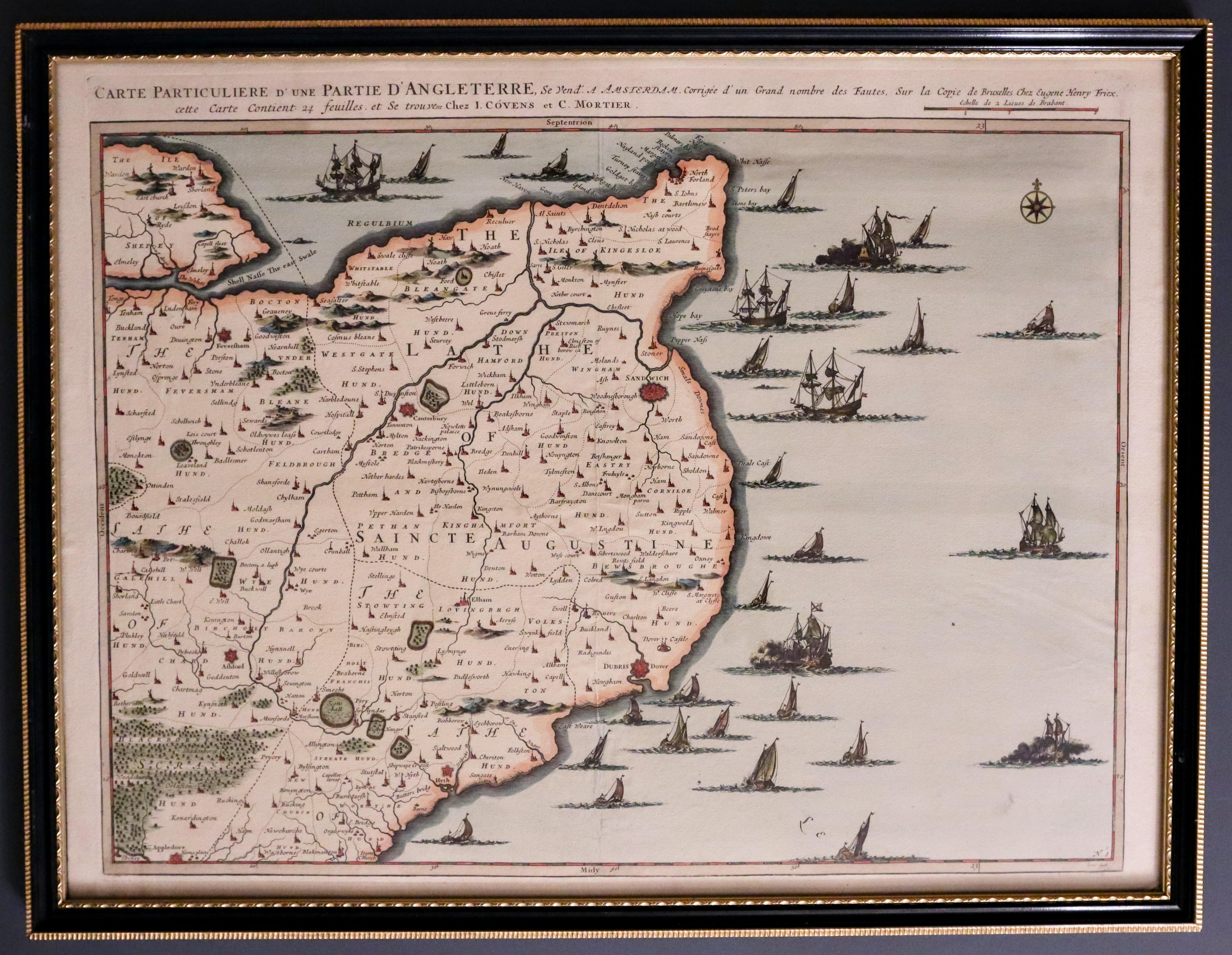
East Kent by J. Covens and C. Mortier c.1744

33433 East Kent, Johannes Covens & Cornelis Mortier, c.1744 Price: 295.00
CARTE PARTICULIERE D’UNE PARTIE D’ANGLETERRE.....
An interesting engraved map showing a large part of East Kent from the Isle of Sheppy with the coastline to south of Hythe. With the map being on a good scale this area of Kent with the towns of Faversham, Canterbury, Sandwich, Ramsgate, Dover, Folkstone, Hythe and Ashford. The title appears above the map with the names of J. Covens and C. Mortier along with the name of the bookseller and publisher Eugène Henri Fricx. Many ships shown on the sea area. Original centre fold. 21 3/4 x 15 3/4 inches. Hand coloured. Good clean condition. Framed many years ago in a half inch black and gold hogarth moulding which is still in good condition.
I have not examined this map outside of the frame so it is sold as seen.
ONLY AVAILABLE BY COLLECTION FROM CHRISTLETON
Large and Detailed
-

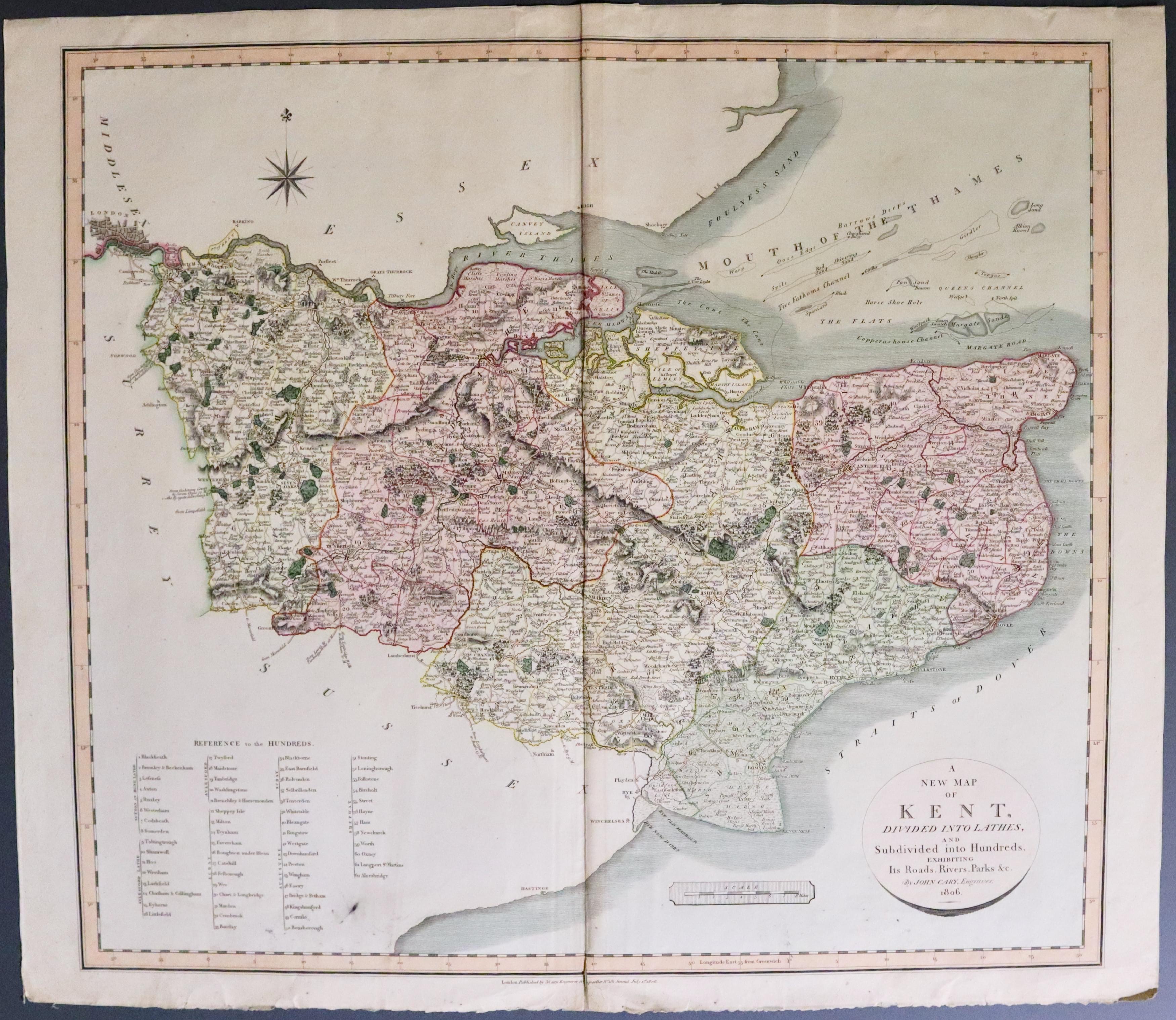
Kent by John Cary 1806
33544 Kent, John Cary, 1806. Price: 55.00
A NEW MAP OF KENT DIVIDED INTO LATHES, AND SUBDIVIDED INTO HUNDREDS, EXHIBITING ITS ROADS, RIVER, PARKS &c. BY JOHN CAR, ENGRAVER, 1806
A good large detailed engraved map of Kent with circular title panel, scale, compass rose and a list of Hundreds. 21 x 19 inches. Original centre fold. Original outline and wash hand colouring. Imprint of the publisher beneath dated 1806. Small split at the bottom of the centre fold. Edge of the bottom blank margin a little ragged. Small black mark near the list of hundreds.
From: New English Atlas

