RICHARD NICHOLSON of CHESTER
A WORLD OF ANTIQUE MAPS AND PRINTS
The Cartographer
JAMES PIGOT
COUNTY MAPS
James Pigot worked from quite a number of different addresses
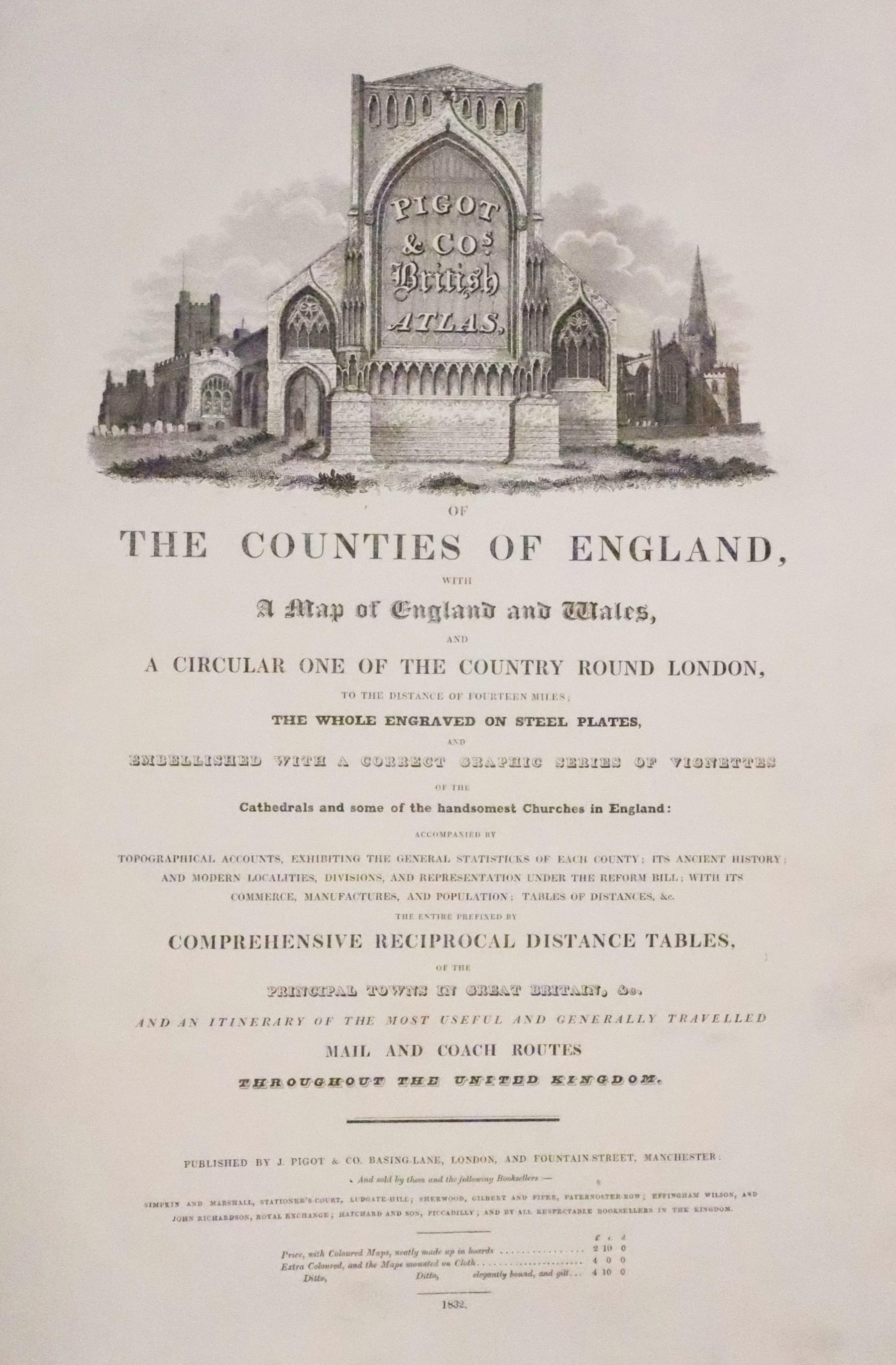
Pigot & Co's. British Atlas published by J. Pigot & Co, Basing Lane, London and Fountain Street, Manchester. The atlas was sold the booksellers Simpkin and Marshall, Stationers Court, Ludgate Hill; Sherwood, Gilbert and Piper, Paternoster-Row; Effingham Wilson and John Richardson, Royal Exchange; Hatchard and Son, Piccadilly; and by all respectable booksellers in the kingdom. The price of the atlas in 1832 with coloured maps made up in boards was £2. 10s. 0d. Extra coloured and the maps mounted on cloth £4. Elegantly bound and gilt was a further 10 shillings.
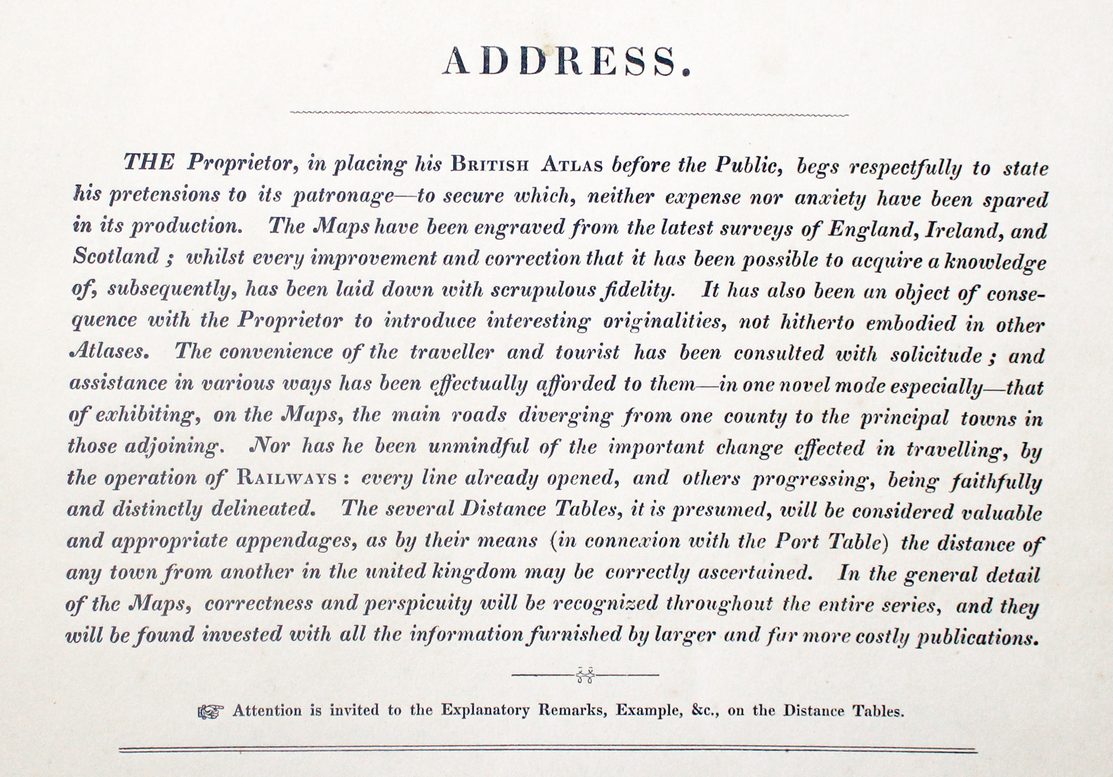
The address in the atlas reads. The Proprietors of the British Atlas, in placing it before their Friends and the Public, deem it requisite, respectfully to state the basis whereon they found their hope to obtain that approbation and patronage, the which in the progress of the Work they have so sedulously sought to ensure. The Maps of this Atlas have been engraved from the very latest survey of England and Wales, and every improvement and correction that it has been possible to acquire a knowledge of subsequently, have been laid down with scrupulous fidelity. It has also been an object of consequence with the Proprietors, to introduce in the present publication, interesting originalities and peculiar properties, not hitherto embodied in other Atlases: - the convenience of the commercial traveller and tourist has been consulted with solitude, and assistance in various ways has been happily afforded to them :- in one novel mode especially, this has been successfully effected, namely by exhibiting on the Maps, the main roads diverging from one county, to the principal towns situate in other surrounding or adjoining. The several Distance Table, Routes, and Topography of the counties, will also be welcomed, not only as powerful auxiliaries to attain the object desired, but, as possessing besides, the considerable general interest and curiosity, as well as being valuable and appropriate appendages to the Work. In the execution of the general detail of the Maps, it is presumes that correctness and perspicuity are every where apparent, throughout the entire series; and, that they will be found invested with all the information furnished by larger and far more expensive county maps.
Messrs. Pigot & Co. having thus briefly described the principal features of their British Atlas, most respectfully solicit for it a share of the public patronage; proudly anticipating that it will be recognised as an important acquisition of the private library; valuable as a work of reference to the man of business, and as yielding interesting information to the inquisitive tourist.
EDITIONS
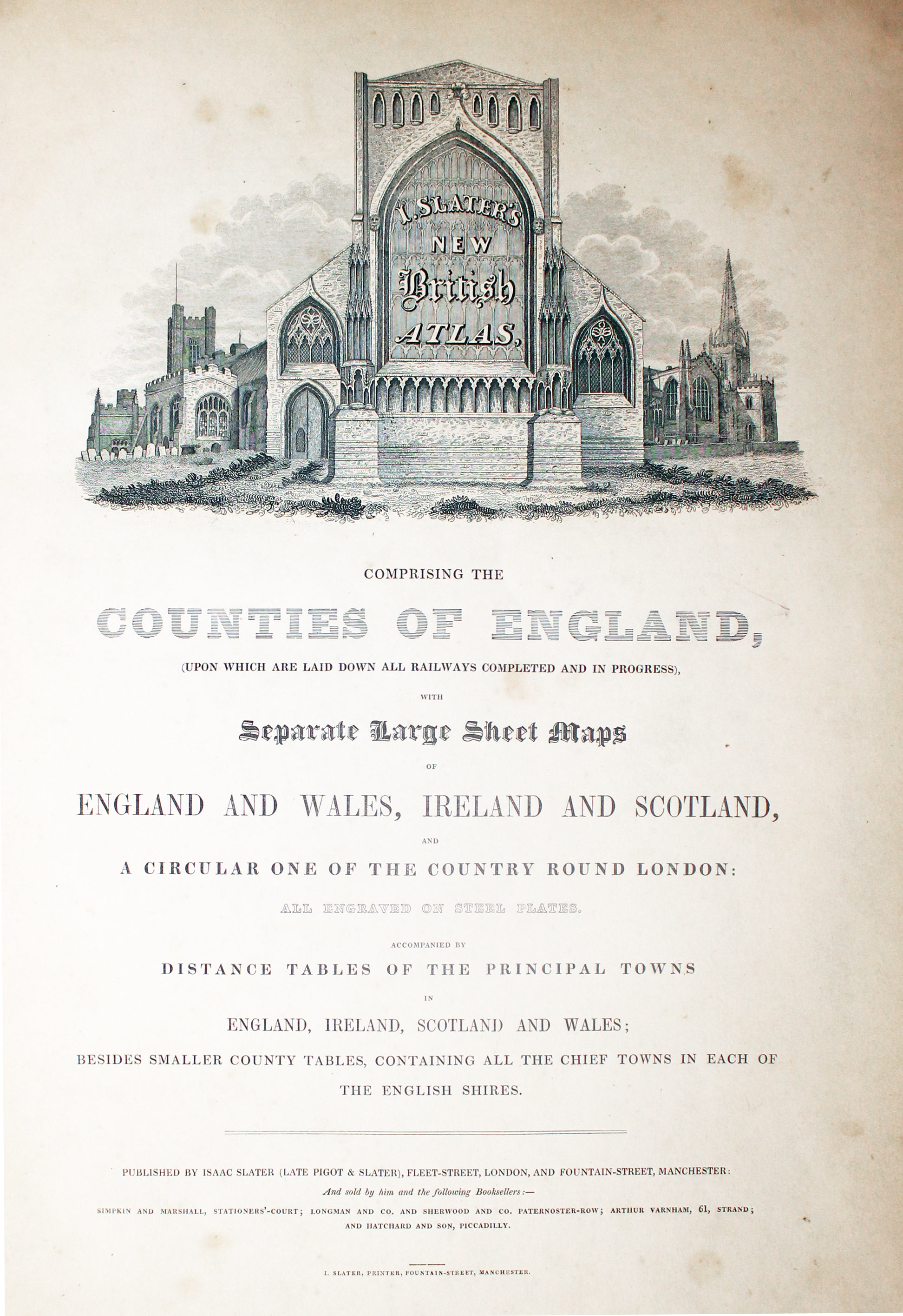
County map collectors are going to come across quite a few different editions of James Pigot's maps. Firstly there is one of two groups the map can be put into. Those published by Pigot & Co. which were published from 1829 to 1843. And secondly editions by Isaac Slater. This is quite easy to do as the imprint beneath each map can be Pigot & Co. or I.Slater. Also the Isaac Slater maps tend to be printed on thicker paper with good blank margins. If it is a Pigot & Co. map then it can be dated from the address that appears beneath the map
-
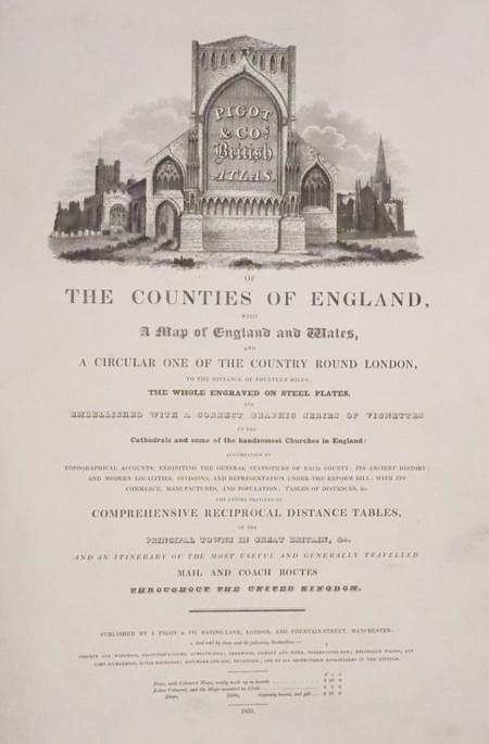
Pigot Title Page dated 1832
-

British Atlas Title Page - Isaac Slater edition
-
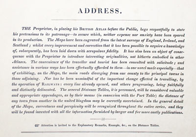
Publishers address in Pigots British Atlas published by Isaac Slater c.1846
- Pigot & Co. 17 Basing Lane, London and 18 Fountain St. Manchester - 1830 and 1831
- Pigot & Co. 59 Fleet St. London and 18 Fountains St.Manchester - 1839, 1840 and 1843
- I. Slater. Fleet Street London and Fountain St. Manchester - 1846, 1847, 1848, 155, 1857
- I. Slater (Late Pigot & Co.) Manchester and London - 1850, 1851 and 1852
BRITISH ISLES GALLERY
-

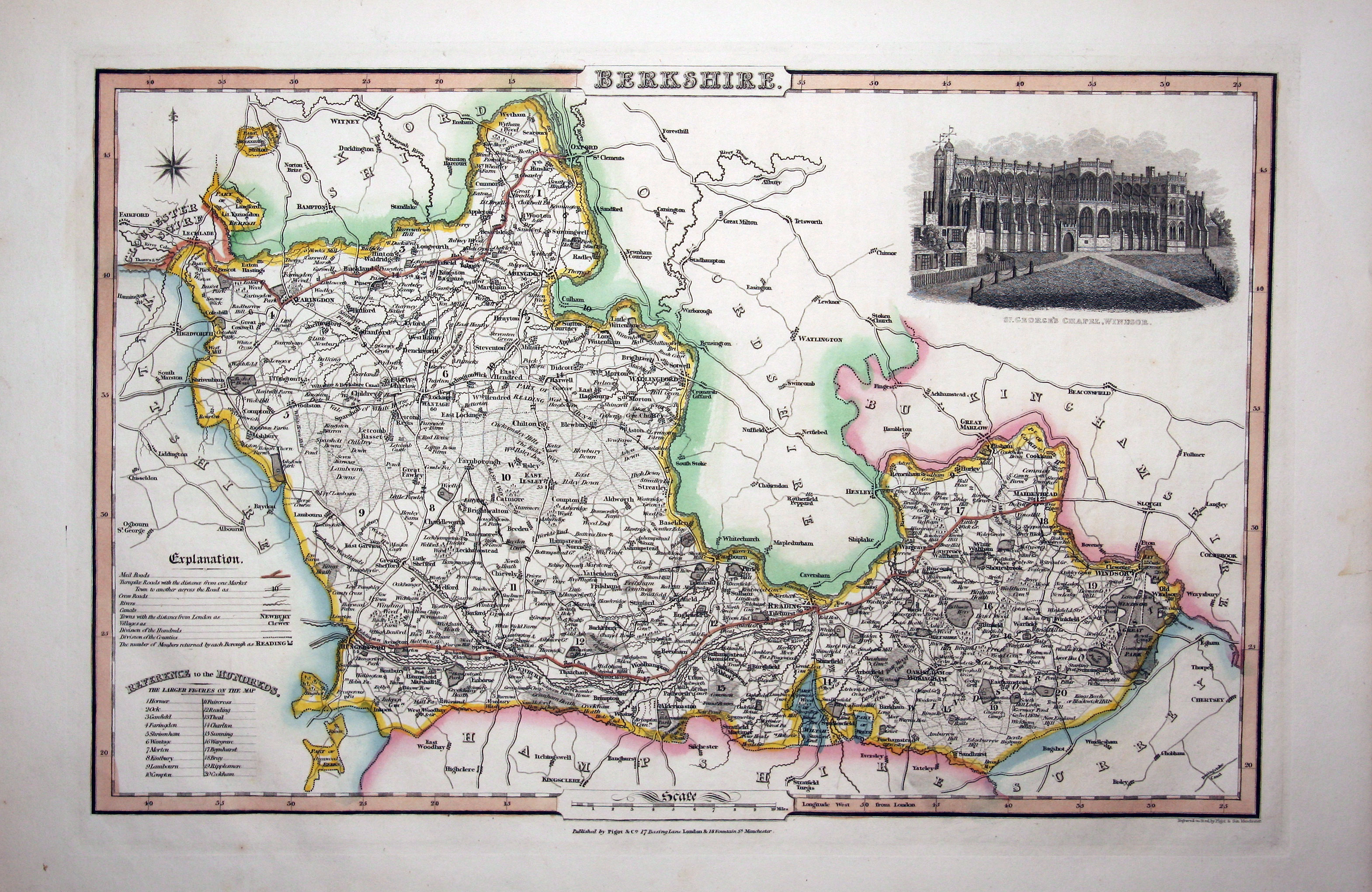
Map of Berkshire by James Pigot
-
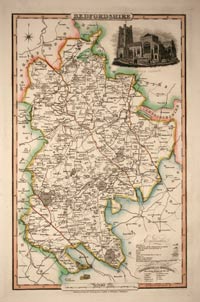
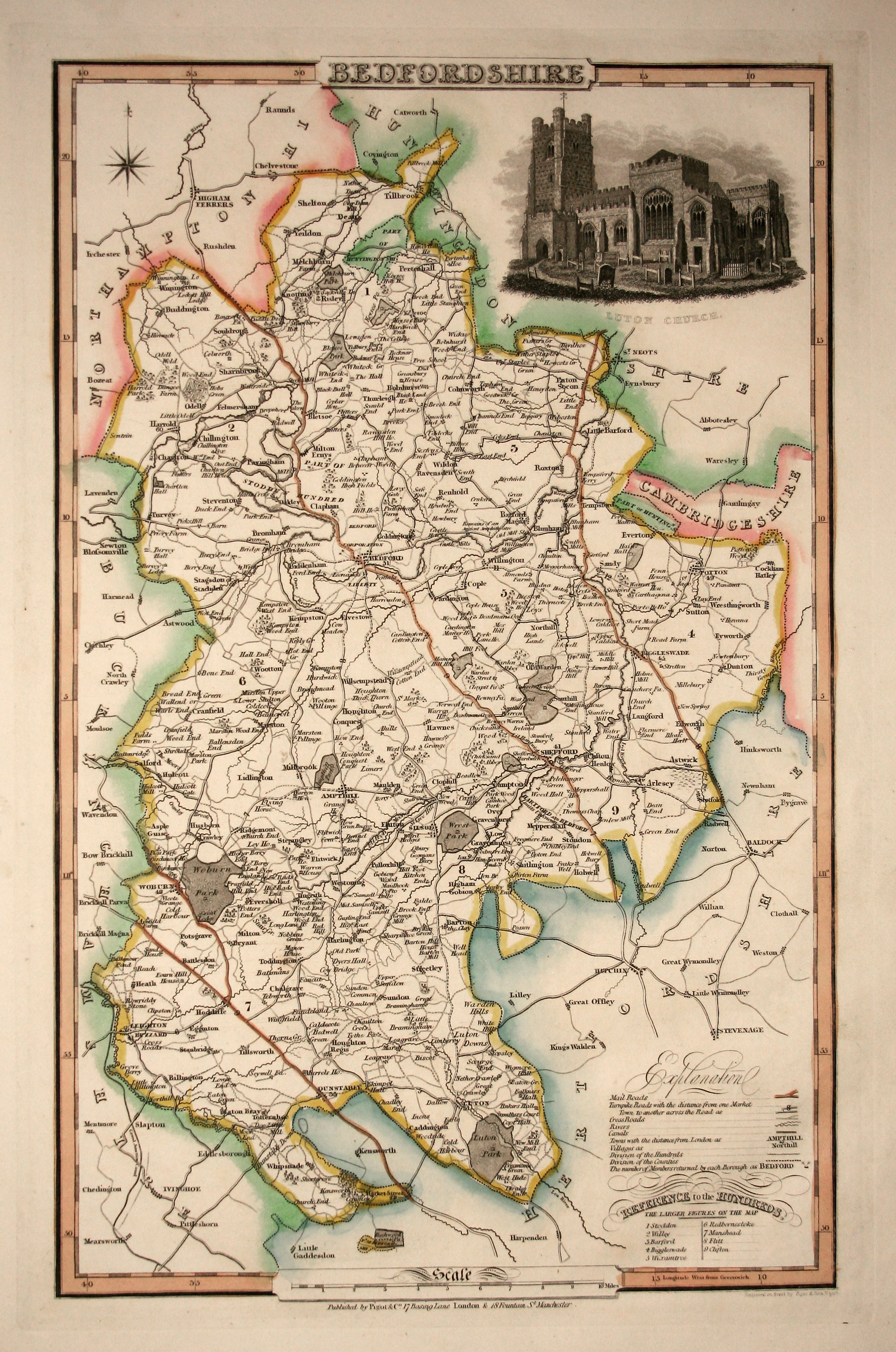
Map of Bedfordshire by James Pigot
-

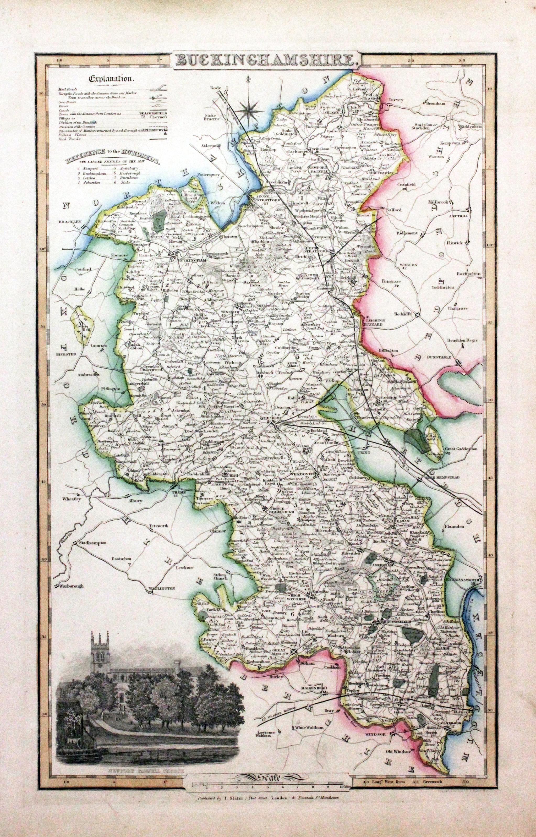
Map of Buckinghamshire by James Pigot
-

Map of Cumberland by James Pigot
-
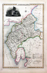
Map of Cumberland by James Pigot
-
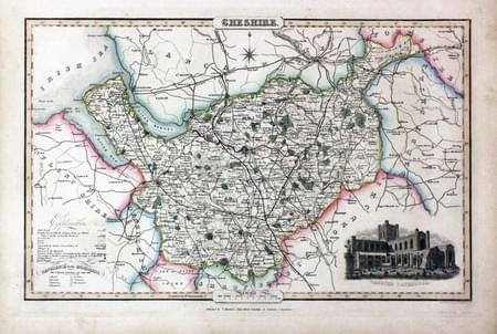
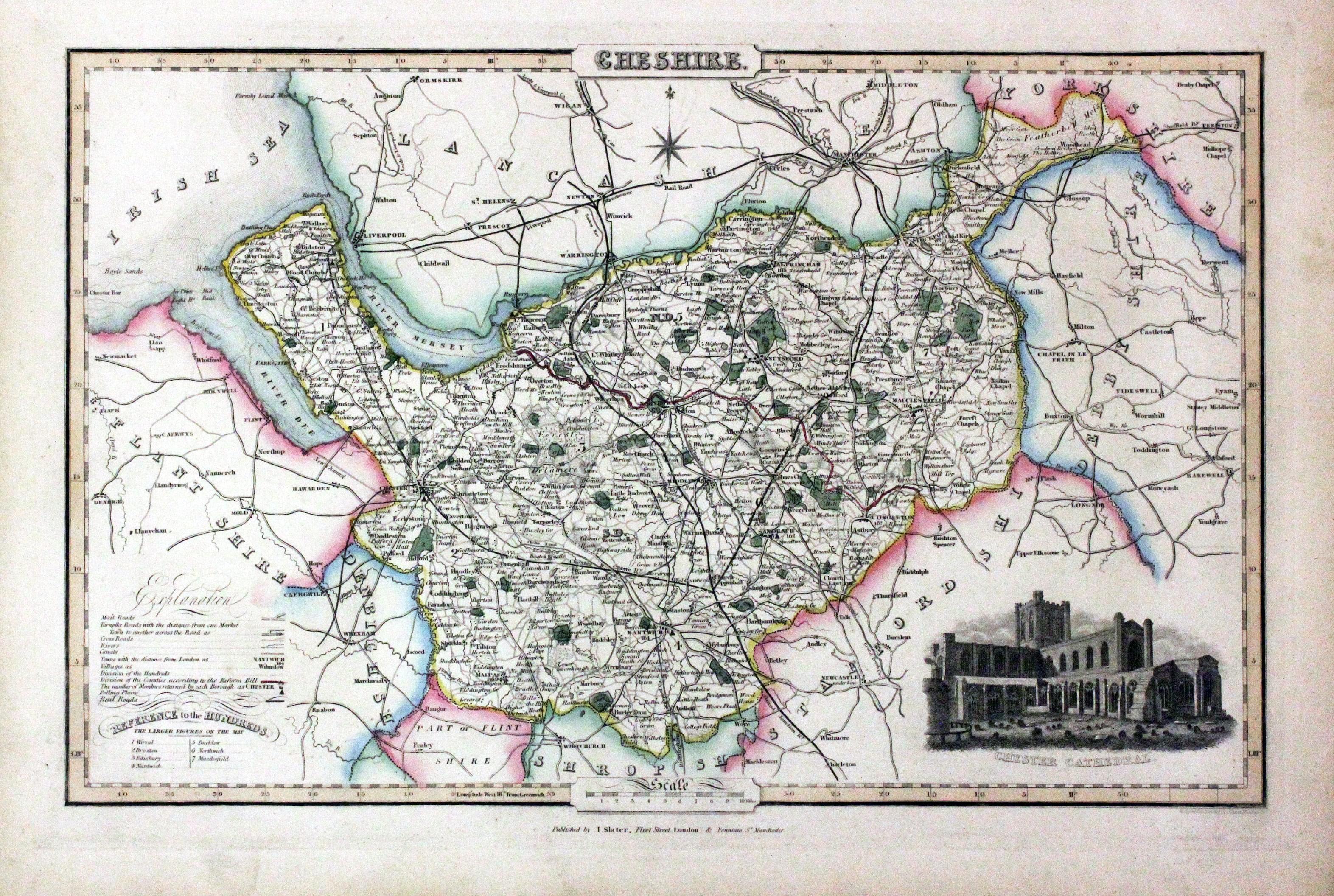
Map of Cheshire by James Pigot
-
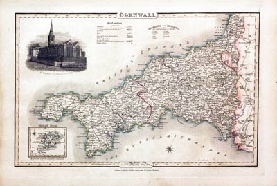
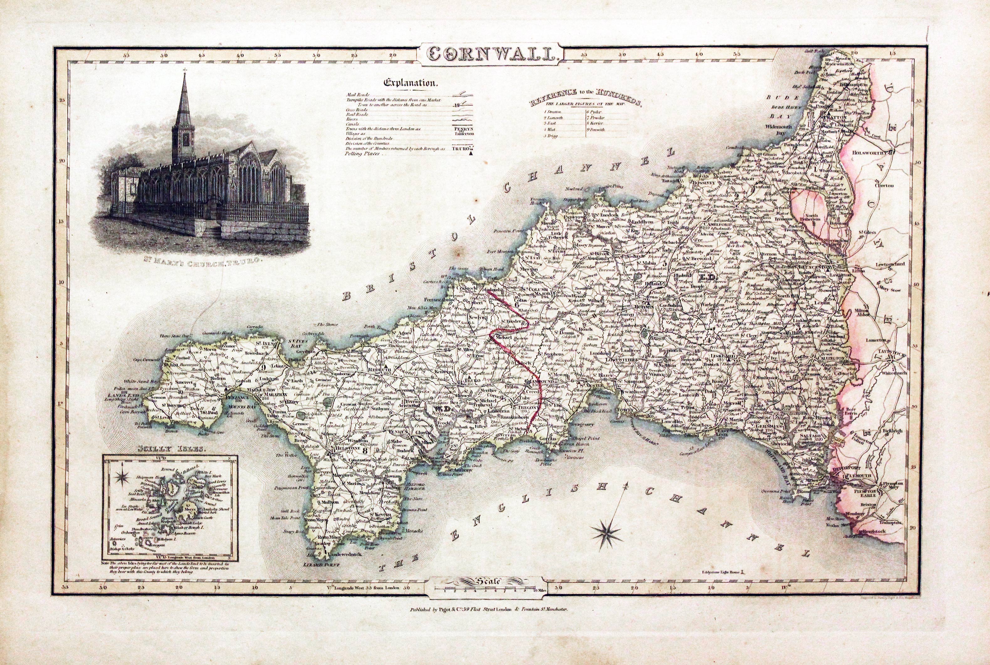
Map of Cornwall by James Pigot
-
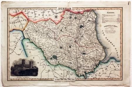
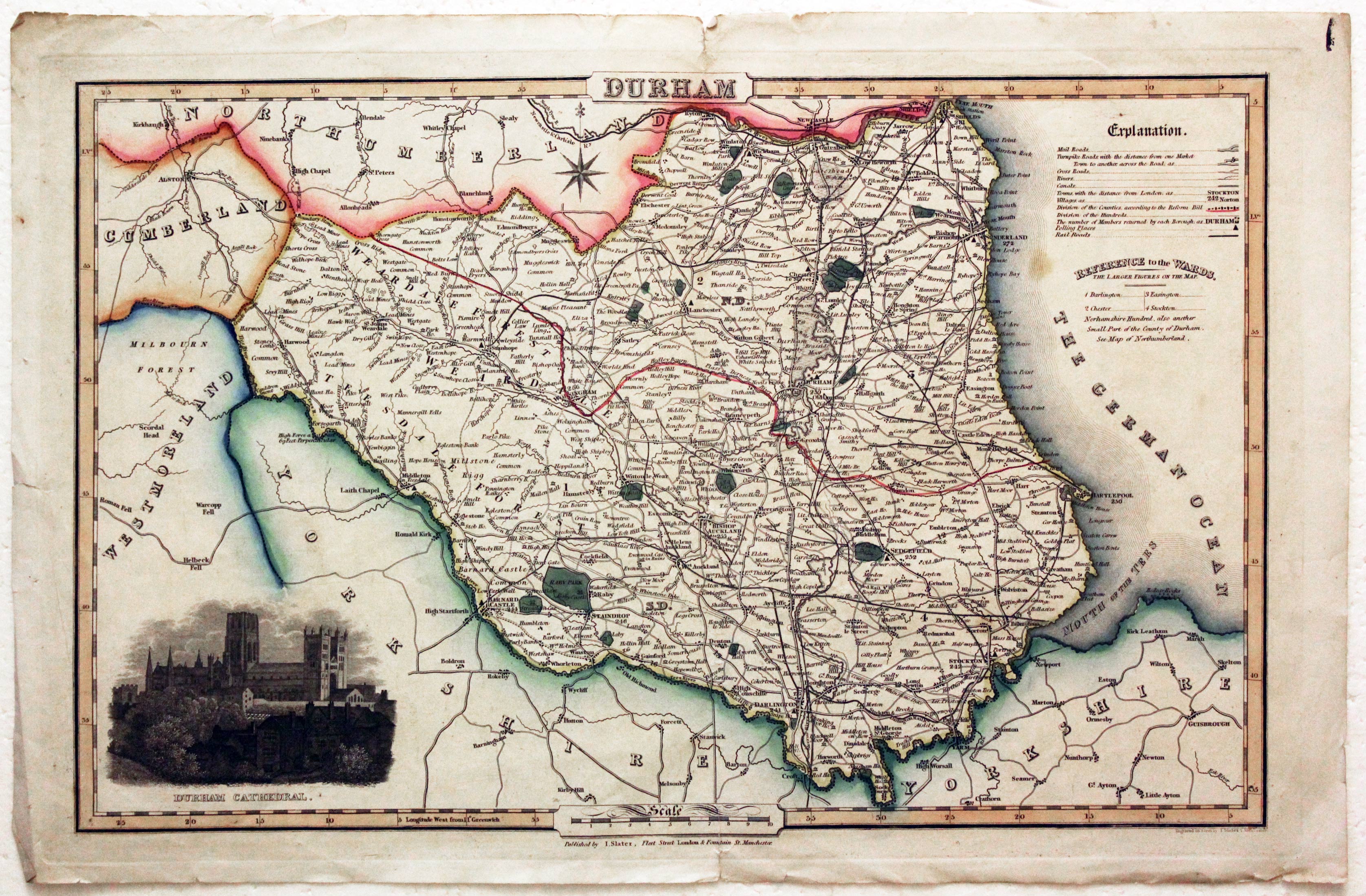
Map of County Durham by James Pigot
-
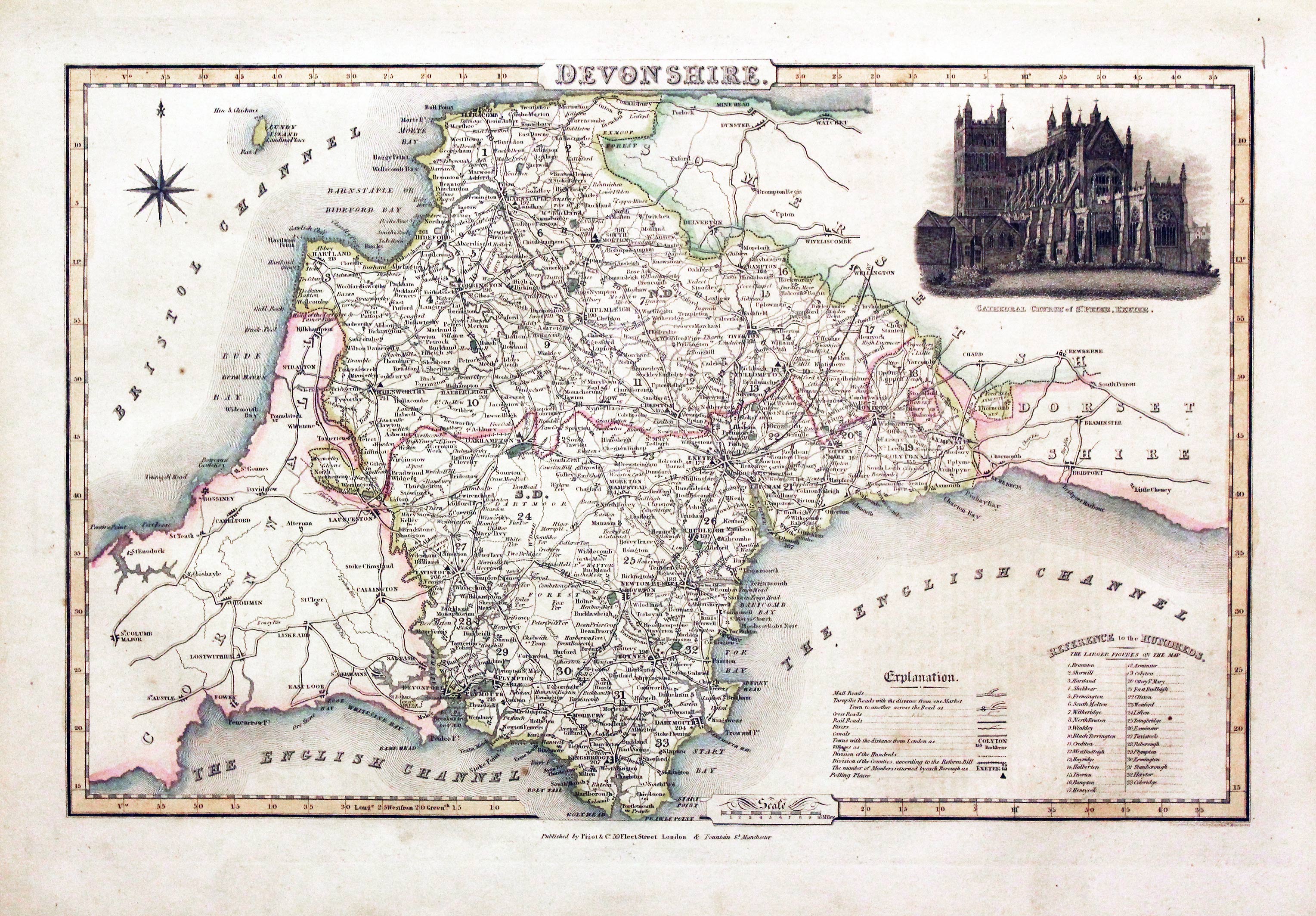
Map of Devonshire by James Pigot
-

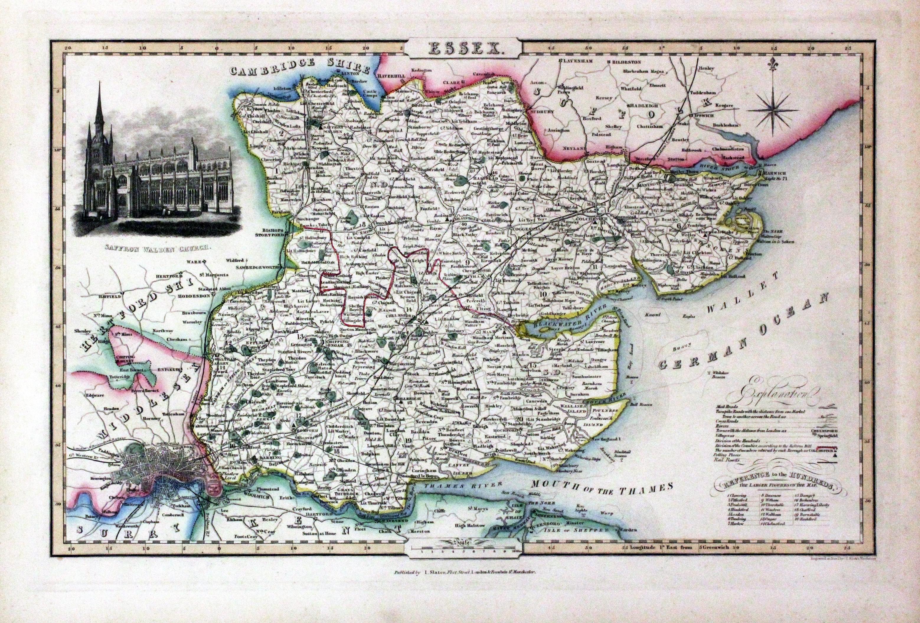
Map of Essex by James Pigot
-
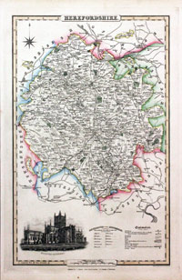
Map of Herefordshire by James Pigot
-

Map of Huntingdonshire by James Pigot
-
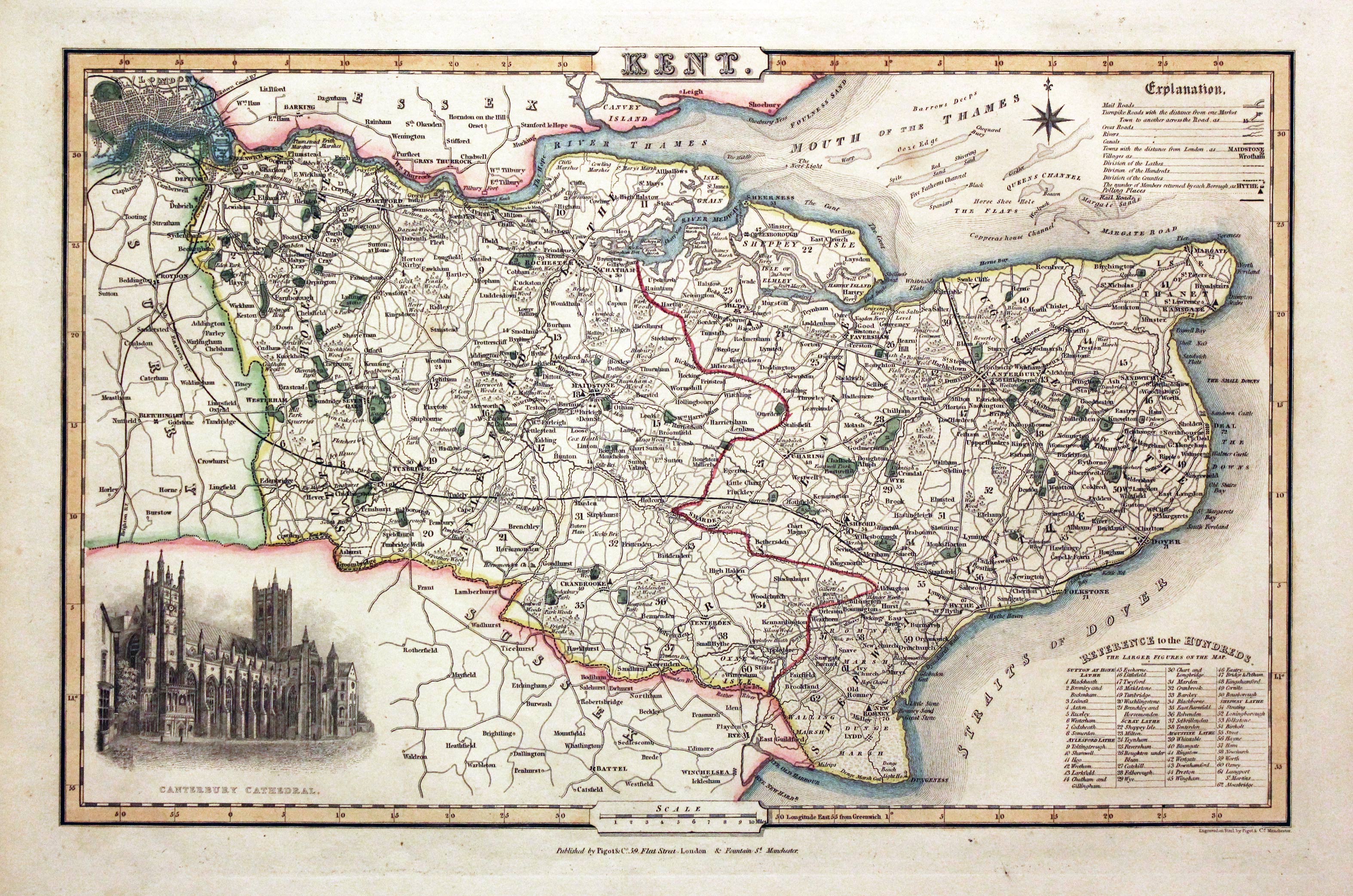
Map of Kent by James Pigot
-
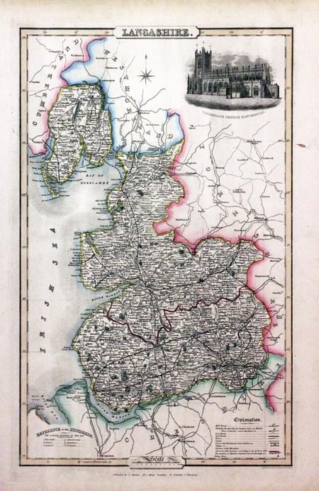
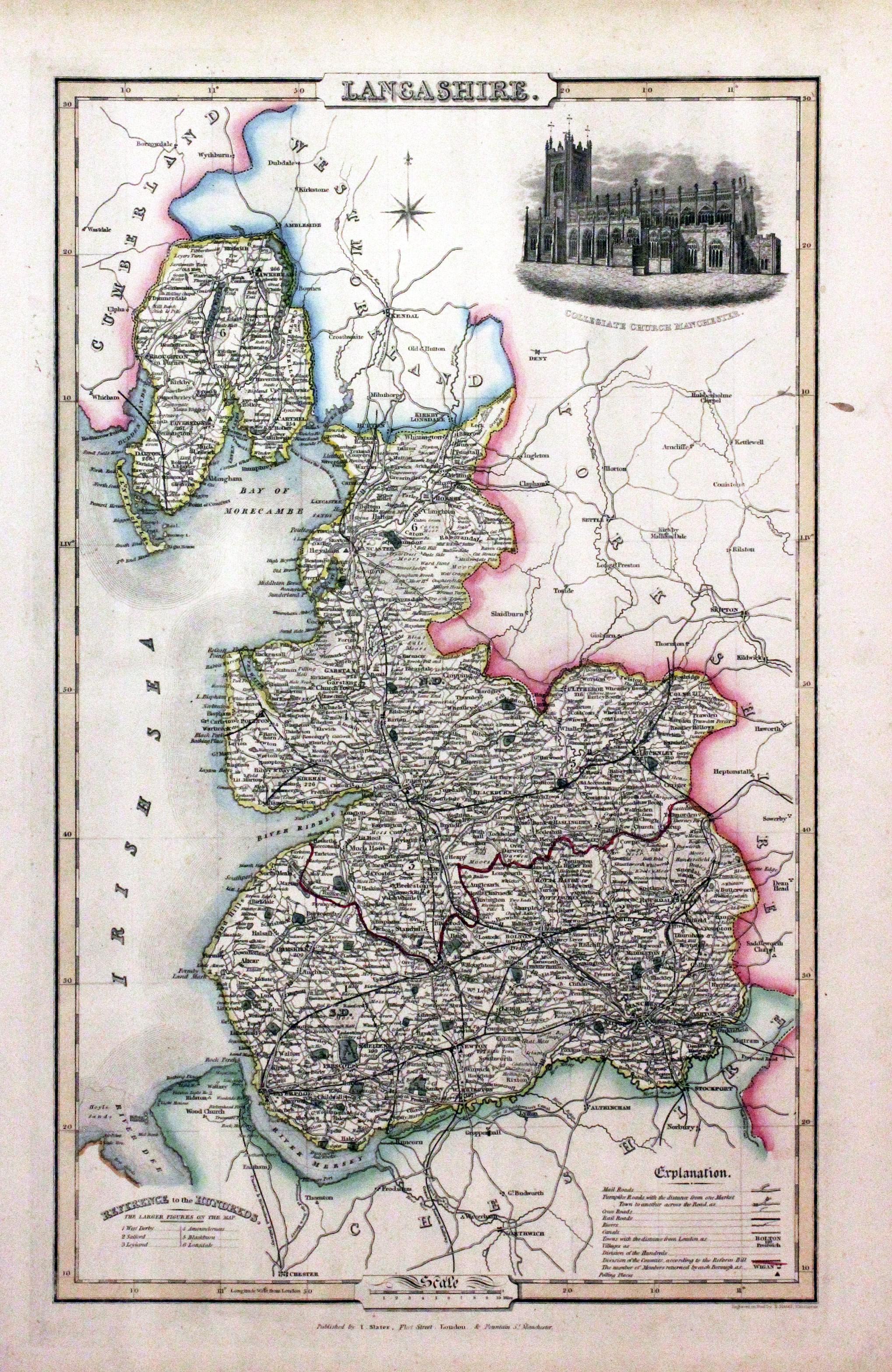
Map of Lancashire by James Pigot
-
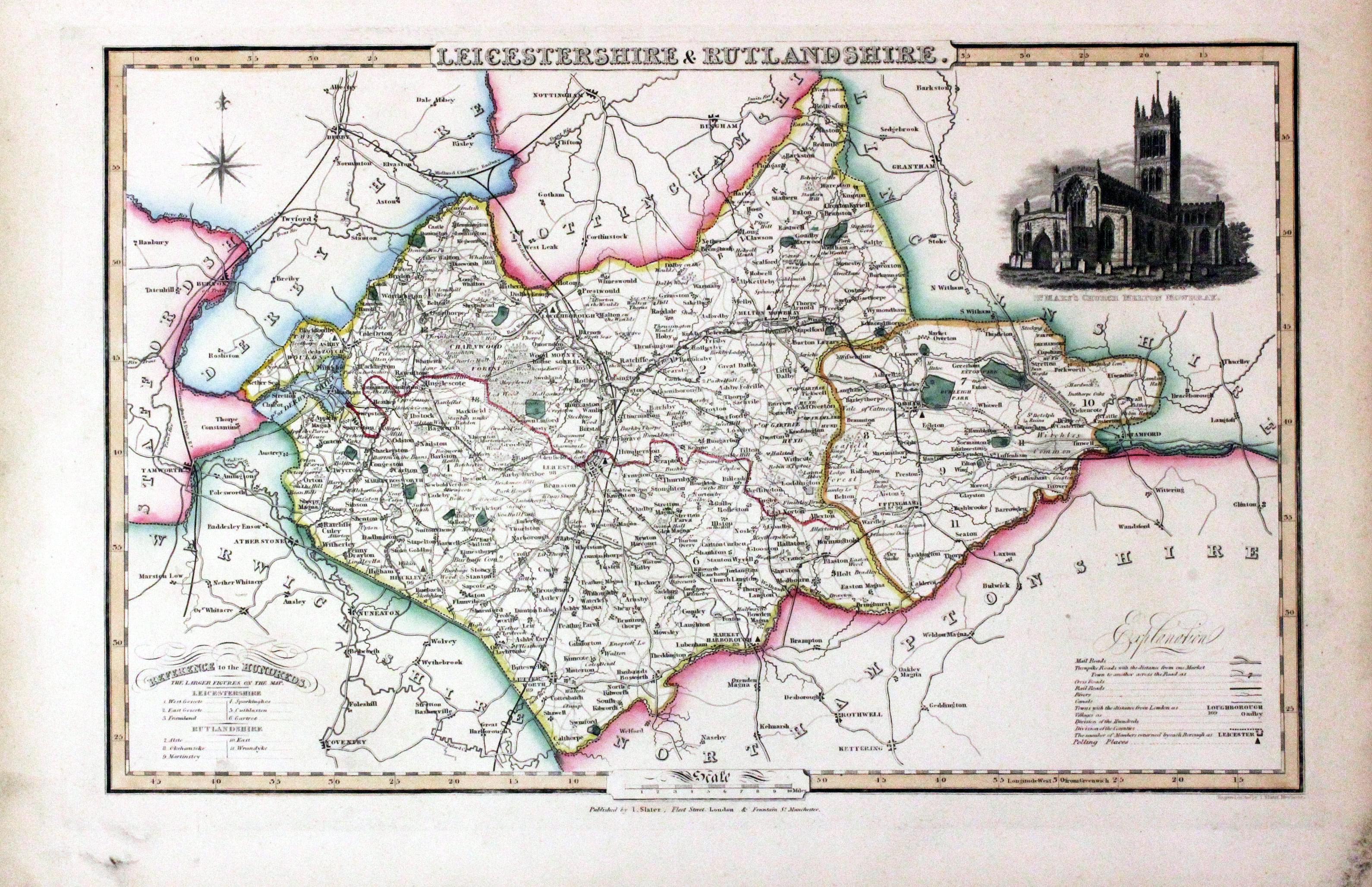
Map of Leicestershire and Rutlandshire by James Pigot
-

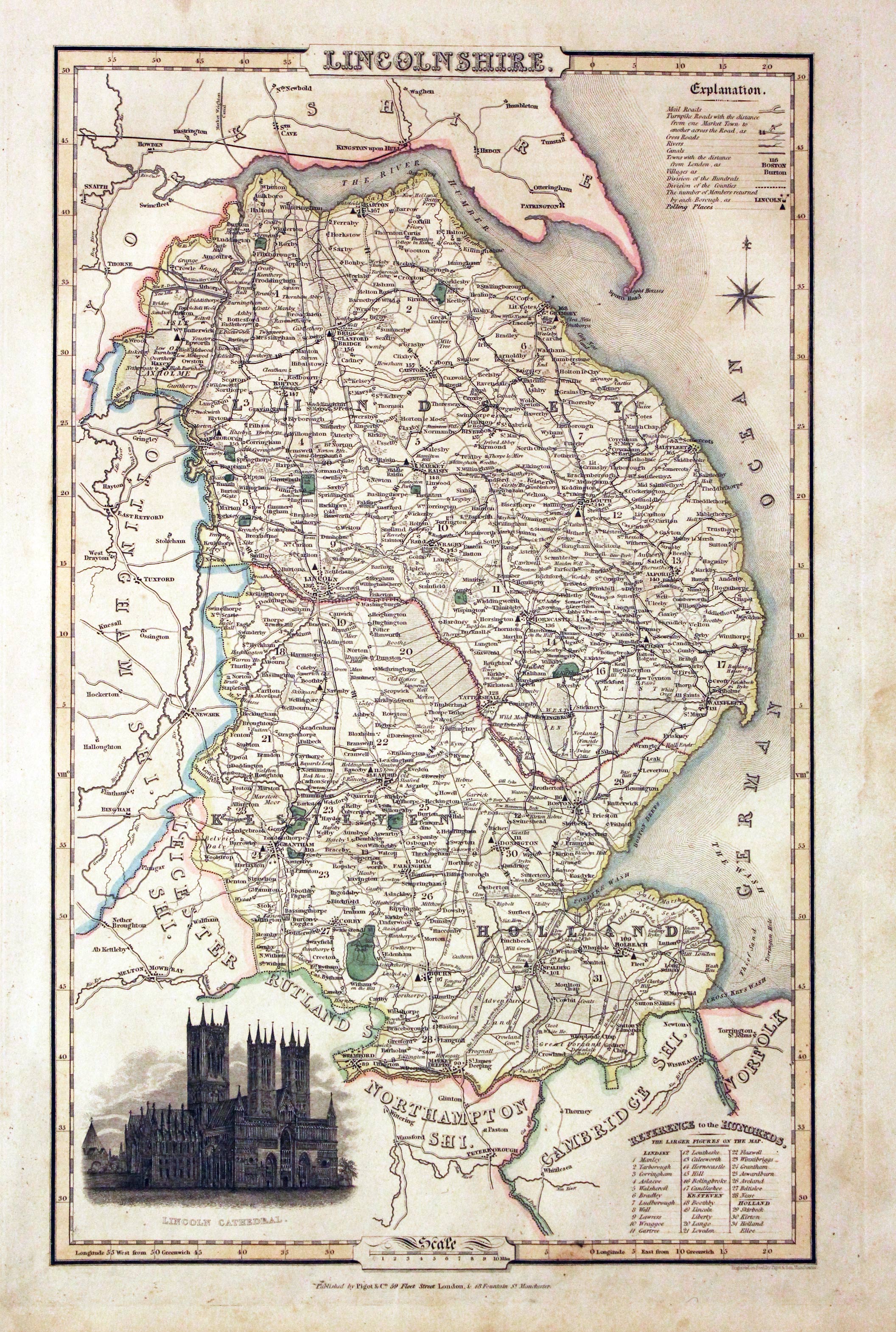
Map of Lincolsnhire by James Pigot
-

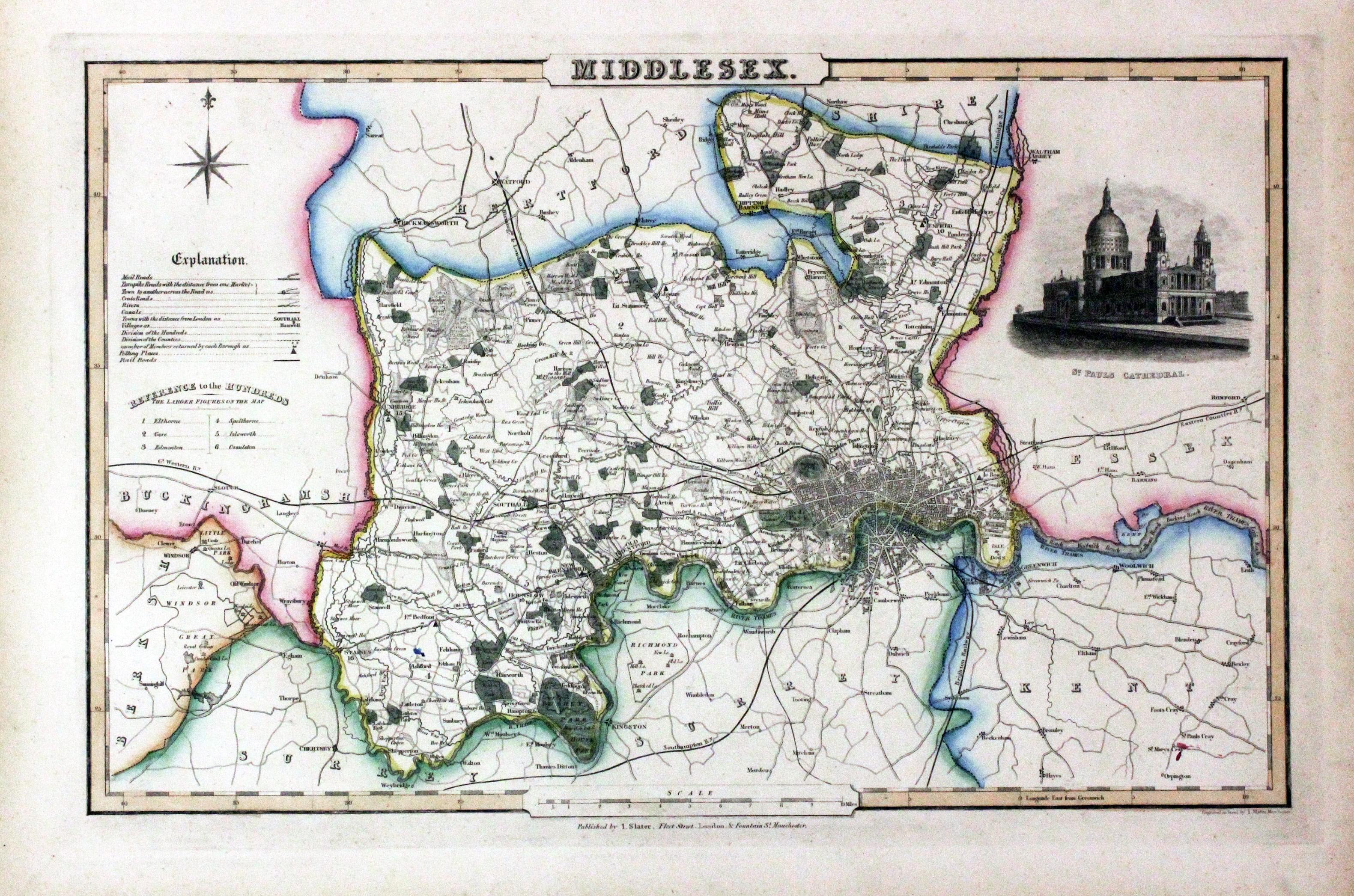
Map of Middlesex by James Pigot
-

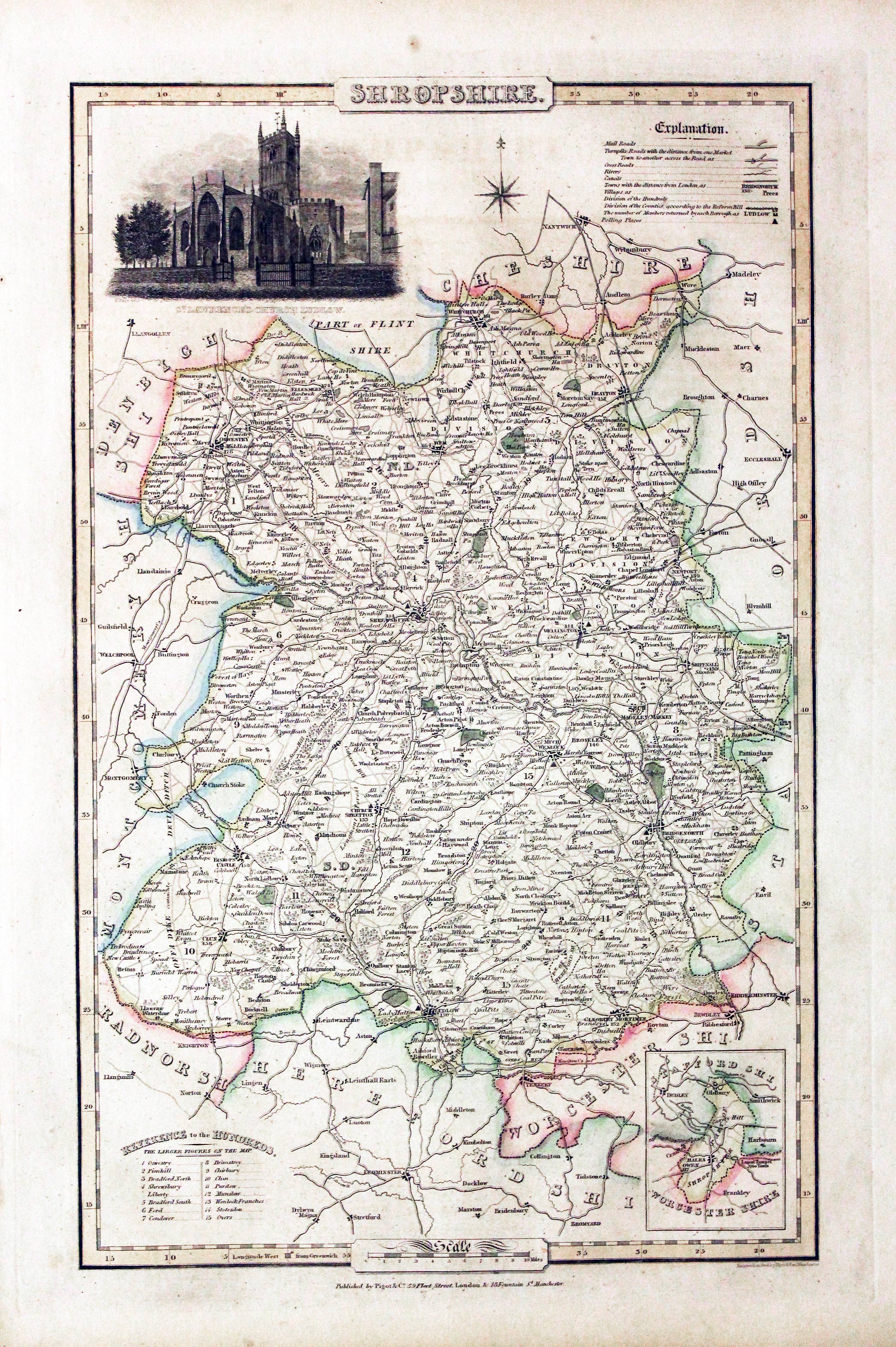
Map of Shropshire by James Pigot
-

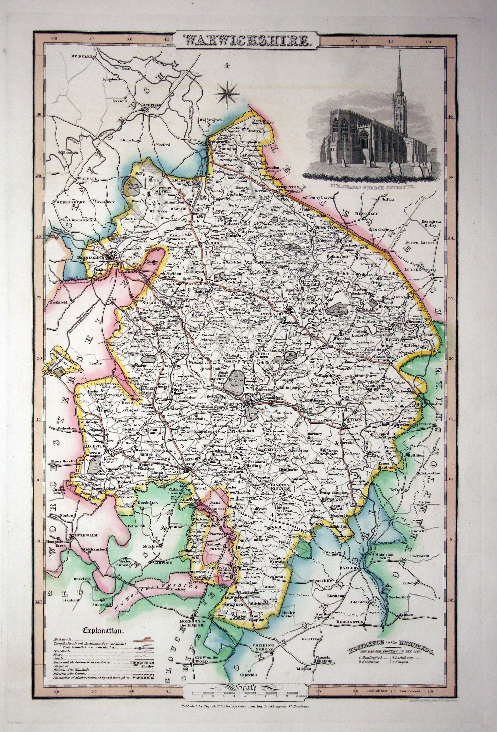
Map of Warwickshire by James Pigot
-
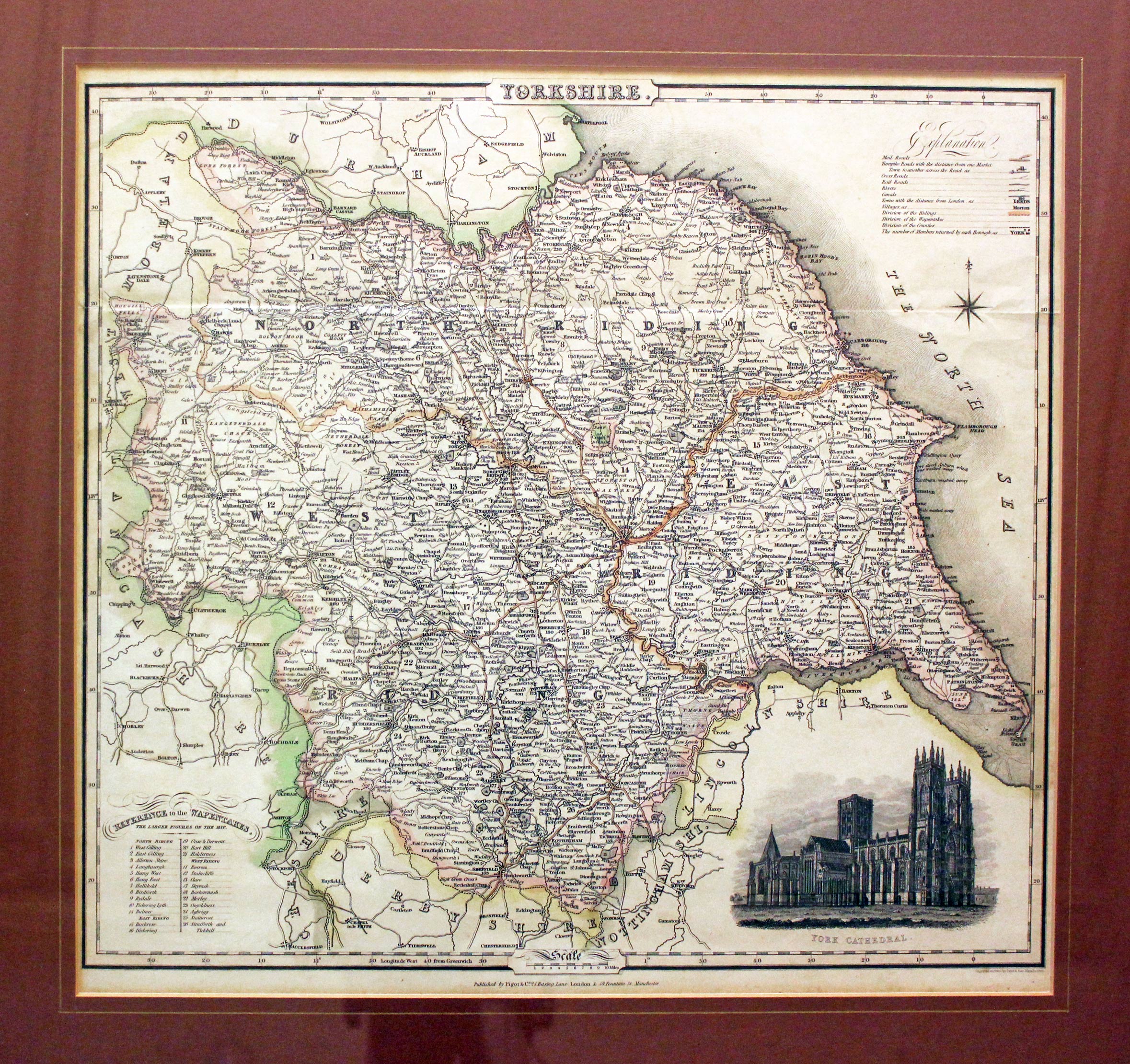
Map of Yorkshire by James Pigot
SMALLER SERIES
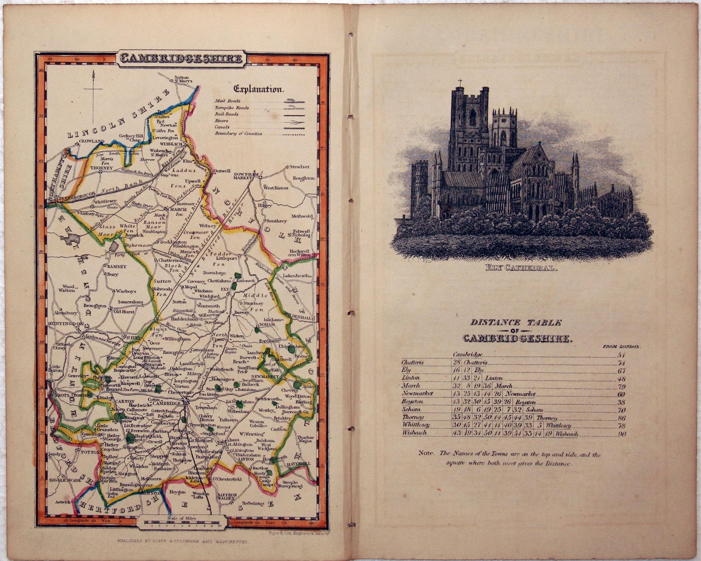
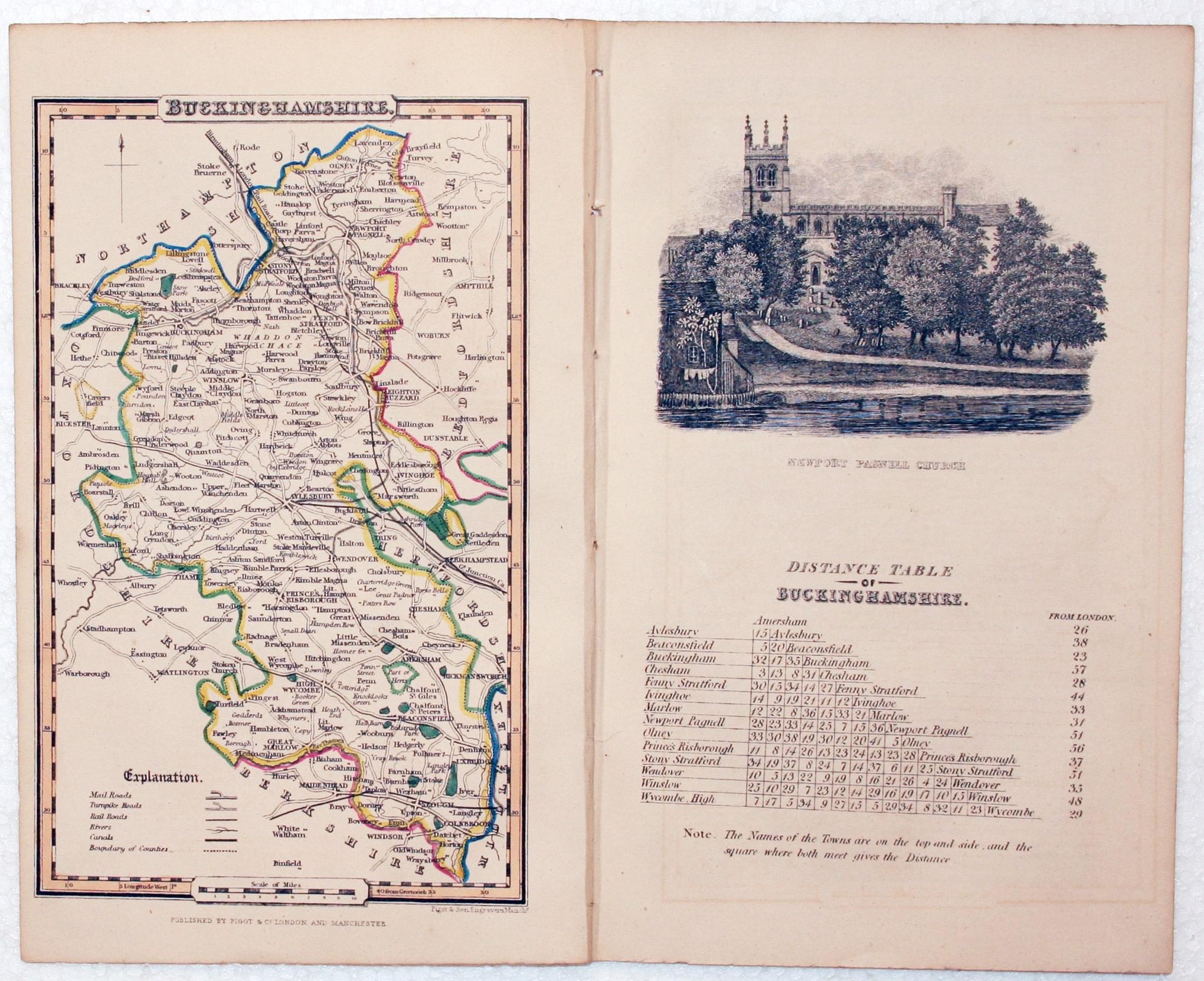
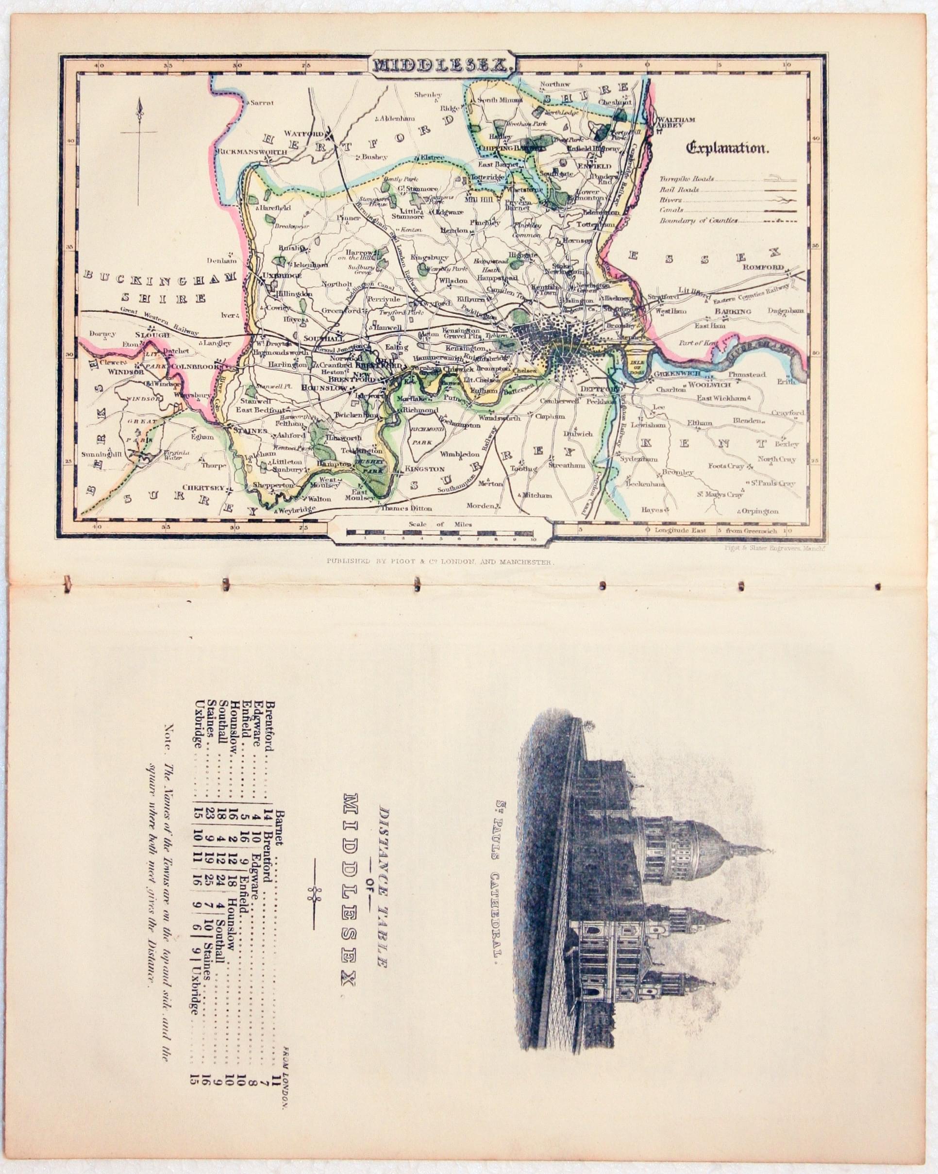
The Pocket Topography and Gazeteer of England contains a smaller series of English county maps measuring about 4 x 6 1/2 inches. Each with a separate page illustrated with a vignette view and distance table.
-

Map of Buckinghamshire by James Pigot
-
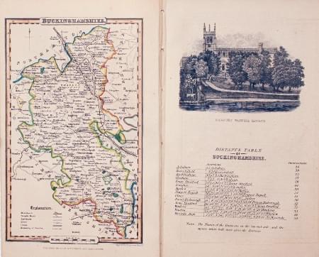
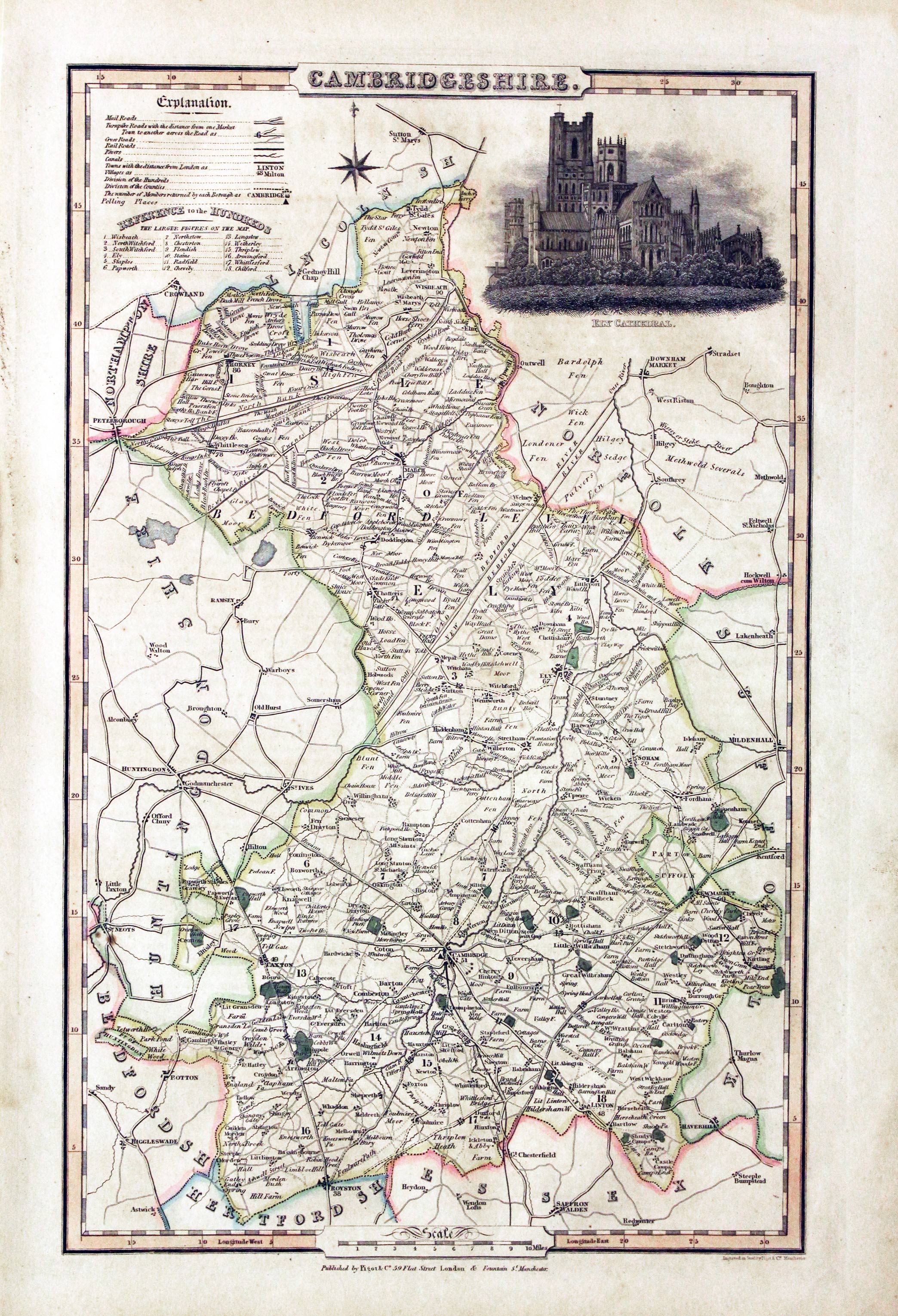
Map of Cambridgeshire by James Pigot
-

Map of Middlesex by James Pigot
