RICHARD NICHOLSON of CHESTER
A WORLD OF ANTIQUE MAPS AND PRINTS
The Cartographer
WILLIAM REDMAYNE
Flourished 1674 - 1719. Died in 1791
Playing Cards
William Redmayne worked as a mapseller, printer and stationer at the Crown on Adle Hill and Jewen Street in London. His career came to an abrupt end when he was imprisioned in Newgate for libel in 1719. He died there of fever the same year.
To map collectors William Redmayne is best known for his set of 52 playing cards each showing a different county of England and Wales. Now quite rare and difficuly to aquire you may be interested in the dating of the three editions. 1676, 1677 and about 1717
- 1676 - Suitmarks engraved in outline and colour added by stencilling. Engraved and published by William Redmayne
- 1677 - The outlined suitmarks are engraved with vertical lines for the red suits and cross hatching for the black suits. Engraved and published by William Redmayne
- 1717 - Similar to the 1677 edition but having a decorative engraved border on each side. Engraved by William Redmayne and published by John Lenthall
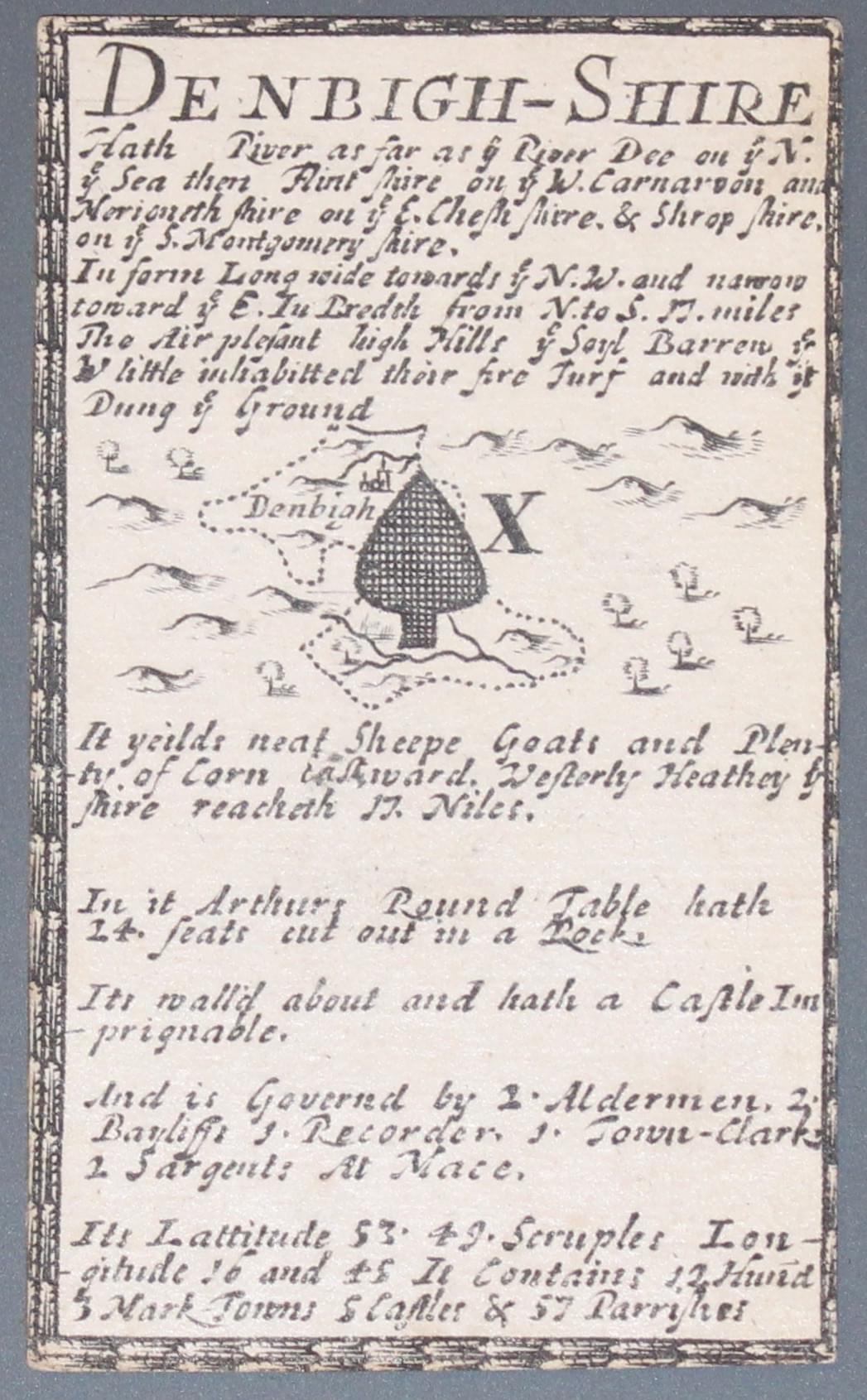
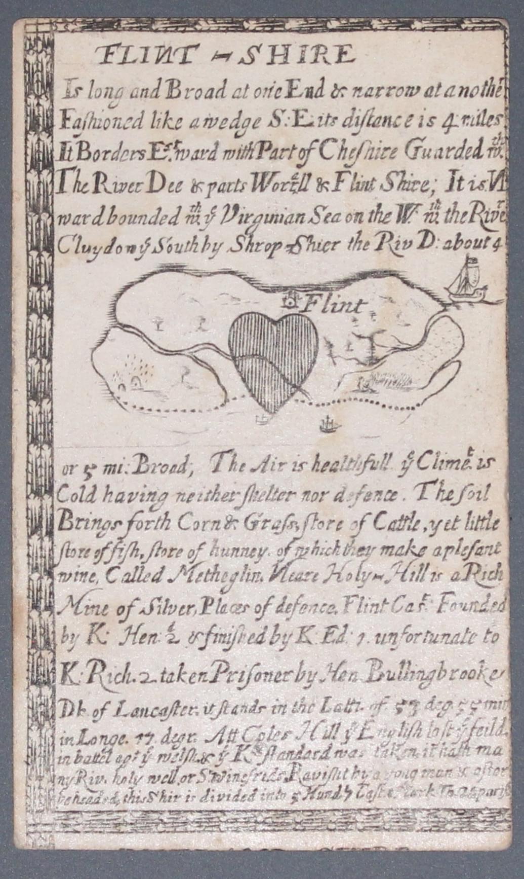
The two specimens below come from my own collection and as you will see have the decorative border and therefore from the 1711 - 12 edition published by John Lenthall.
-

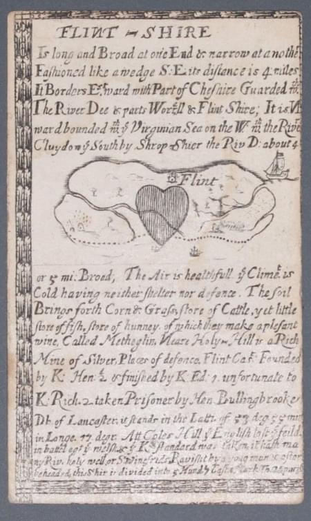
Playing card showing Flintshire by William Redmayne 1711
-

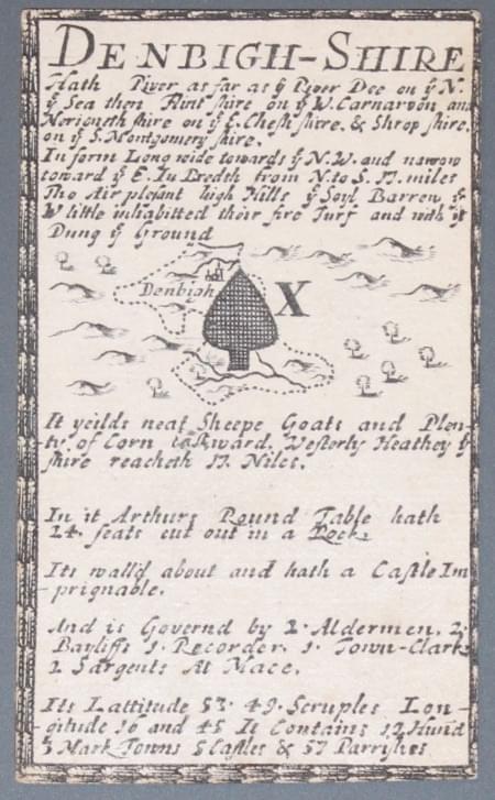
Playing card showing Denbighshire by William Redmayne 1711
JOHN LENTHALL
Mapseller, Stationer and Publisher
John Lenthall published the final edition of William Redmayne's playing cards in 1717. His business addresses are listed below. He started by joining his father-in-law and former master William Warter in 1708 and took control of the business the following year when Warter retired.
Besides publishing an edition of William Redmayne's playing cards he worked with P. Overton and T. Taylor on The Circle of Bavaria; William Berry's A New Mapp of the kingdome of England and Wales.
BUSINESS ADDRESSES
- 1709 - 'next near the Mitre Tavern, against St. Dunstan's Church, Fleet Street, London'
- 1728 - 'at the Talbot against St. Dunstan's Church, Fleet Street, London
References:
- Antique Maps of Cornwall and the Isles of Scilly by R. C. E. Quixley, Expanded by J. M. E. Quixley
- Map Collectors' Series. No. 87: Playing Cards Depicting maps of the British Isles, and of English and Welsh Counties. By Sylvia Mann and David Kingsley
- Tooley's Dictionary of Mapmakers. Revised Edition K - P published by Early World Press


