RICHARD NICHOLSON of CHESTER
A WORLD OF ANTIQUE MAPS AND PRINTS
The Cartographer
RICHARD BLOME
You could immortalise yourself by paying Richard Blome
so that your coat of arms appeared on one of his maps
Britannia was Richard's Blome major work which included an interesting series of engraved maps of the counties and other parts of the British Isles. It was possible to subscribe to the work and depending upon the size of your financial commitment you could have a dedication to yourself with coat of arms on one o the maps. If you felt like paying rather less you could still immortalise yourself by having your coat of arms appear on one of the many additional pages.
List of Maps in his Britannia published in 1673
British Isles
Bedfordshire
Berkshire
Buckinghamshire
Cambridgeshire
Cheshire
Cornwall
Cumberland
Derbyshire
Devonshire
Dorsetshire
Durham
Essex
Gloucestershire
Hampshire
Herefordshire
Hertfordshire
Huntingdonshire
Kent
Lancashire
Leicestershire
Lincolnshire
Norfolk
Northamptonshire
Northumberland
Nottinghamshire
Oxfordshire
Rutlandshire
Shropshire
Somersetshire
Staffordshire
Suffolk
Surrey
Sussex
Warwickshire
Westmorland
Wiltshire
Worcestershire
Yorkshire
Yorkshire West Riding
Yorkshire East Riding
Yorkshire North Riding
Richmondshire
North Wales
South Wales
Scotland
Ireland
Isle of Wight /Jersey / Guernsey/Sark / Isle of Man/Orkneys and Shetland
GALLERY
Maps from Britannia
-

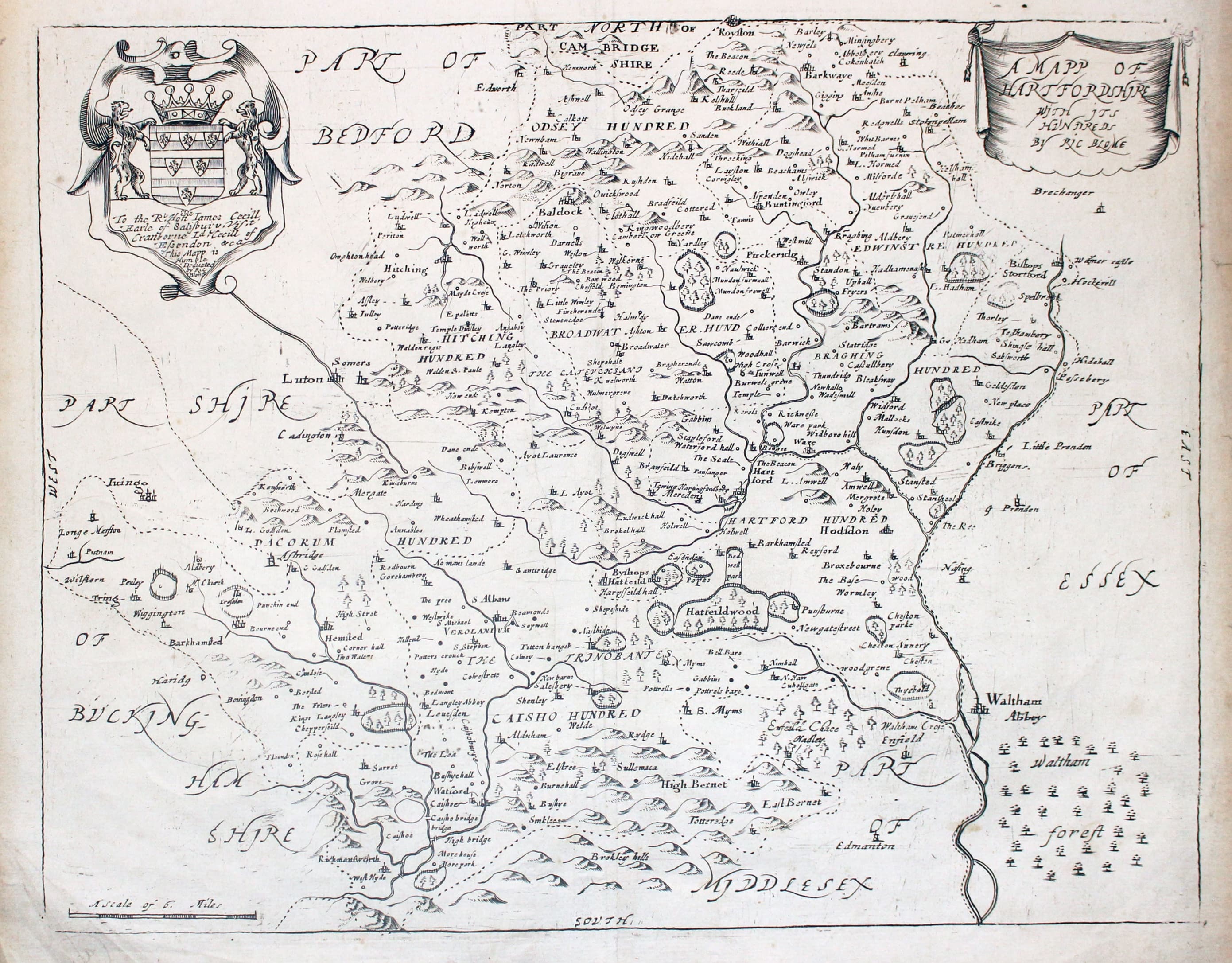
Map of Hertfordshire by Richard Blome, 1673
-

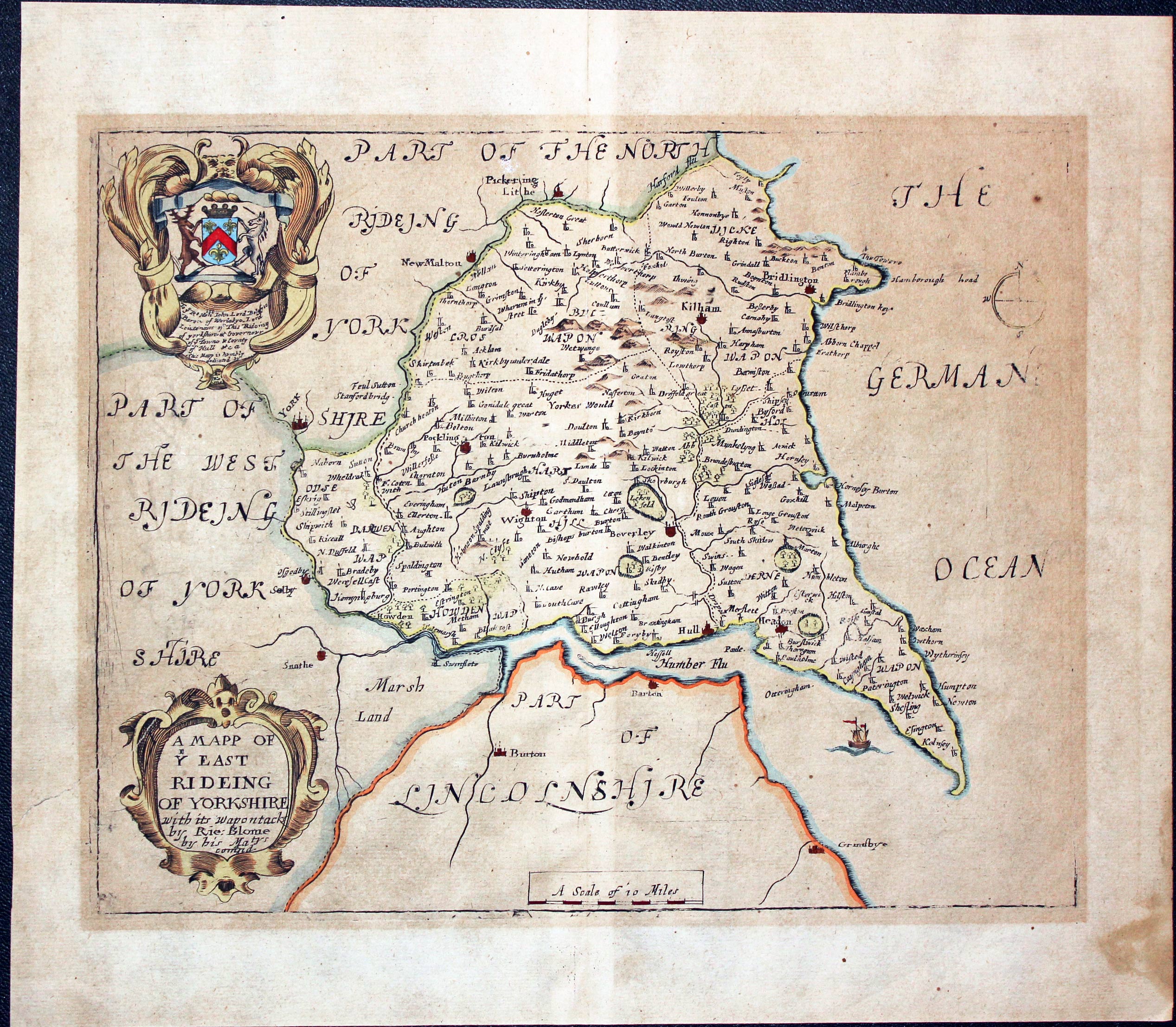
Map of East Riding of Yorkshire by Richard Blome, 1673
-

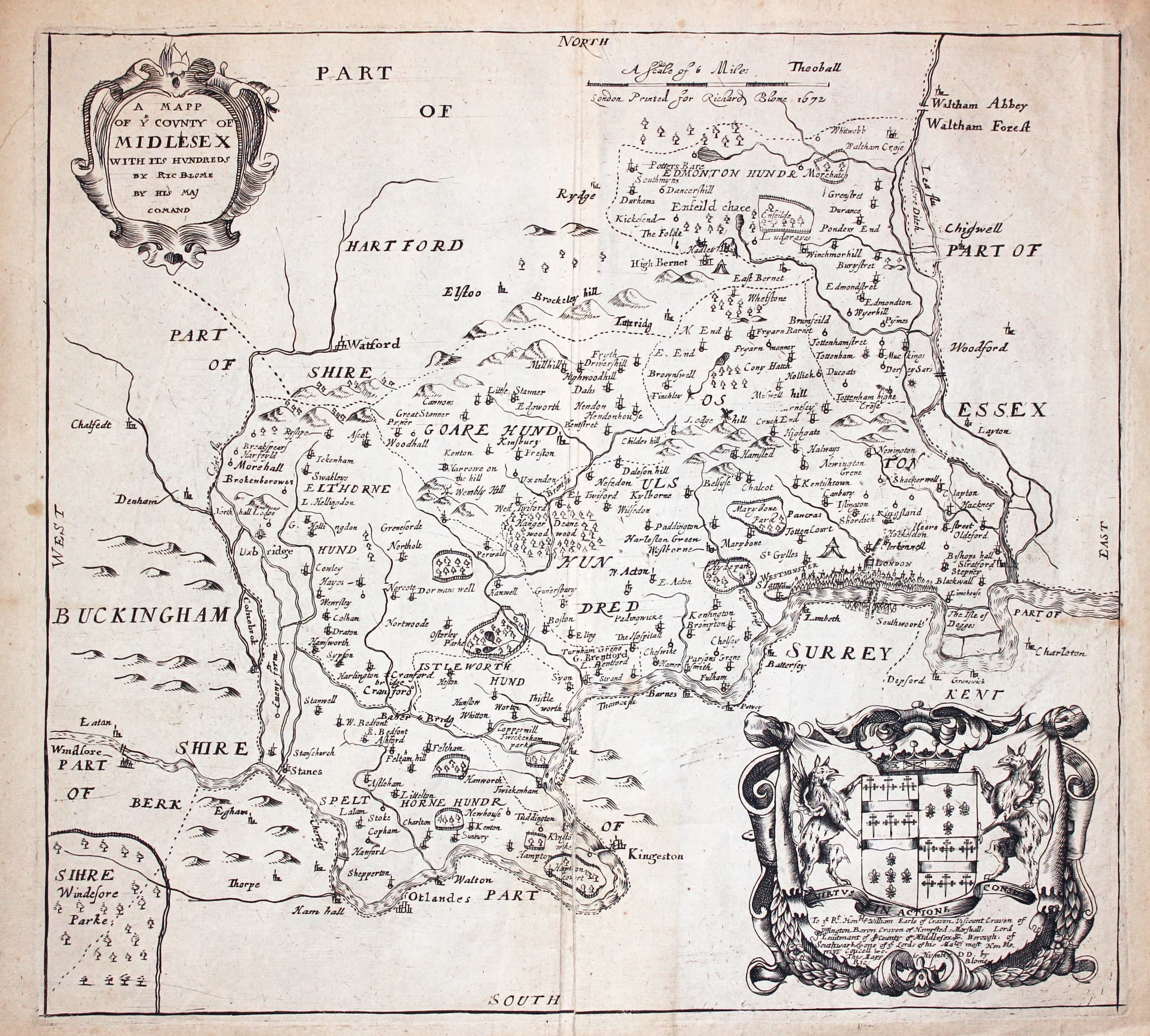
Map of Middlesex by Richard Blome, 1673
-
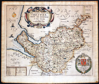
Map of Cheshire by Richard Blome, 1673
-

Map of Surrey by Richard Blome, 1673
-

Cornwall by Richard Blome published in 1673
-
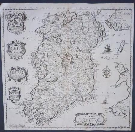
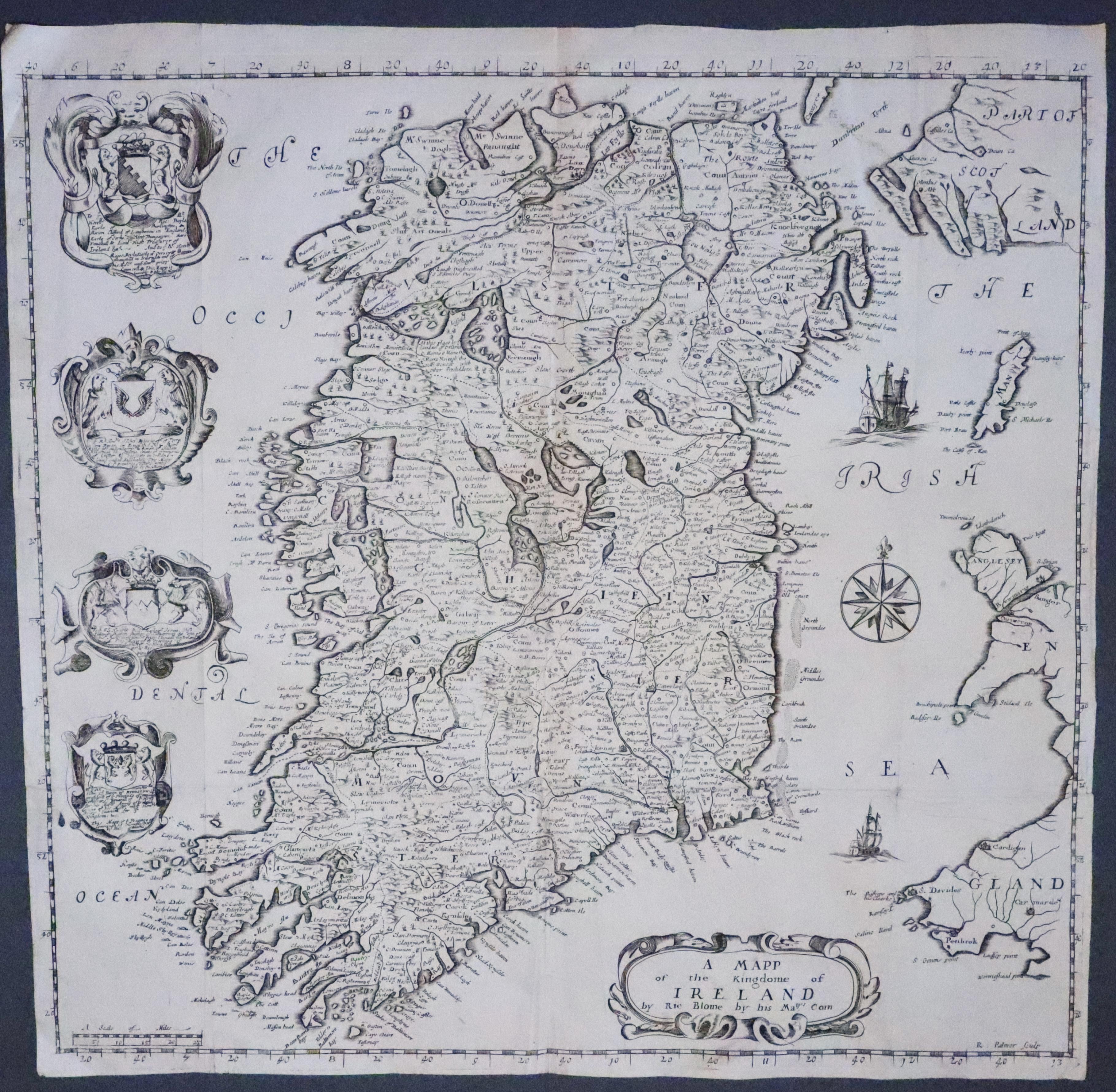
Ireland by Richard Blome published in 1673
The Smaller Series of County Maps
-
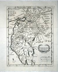
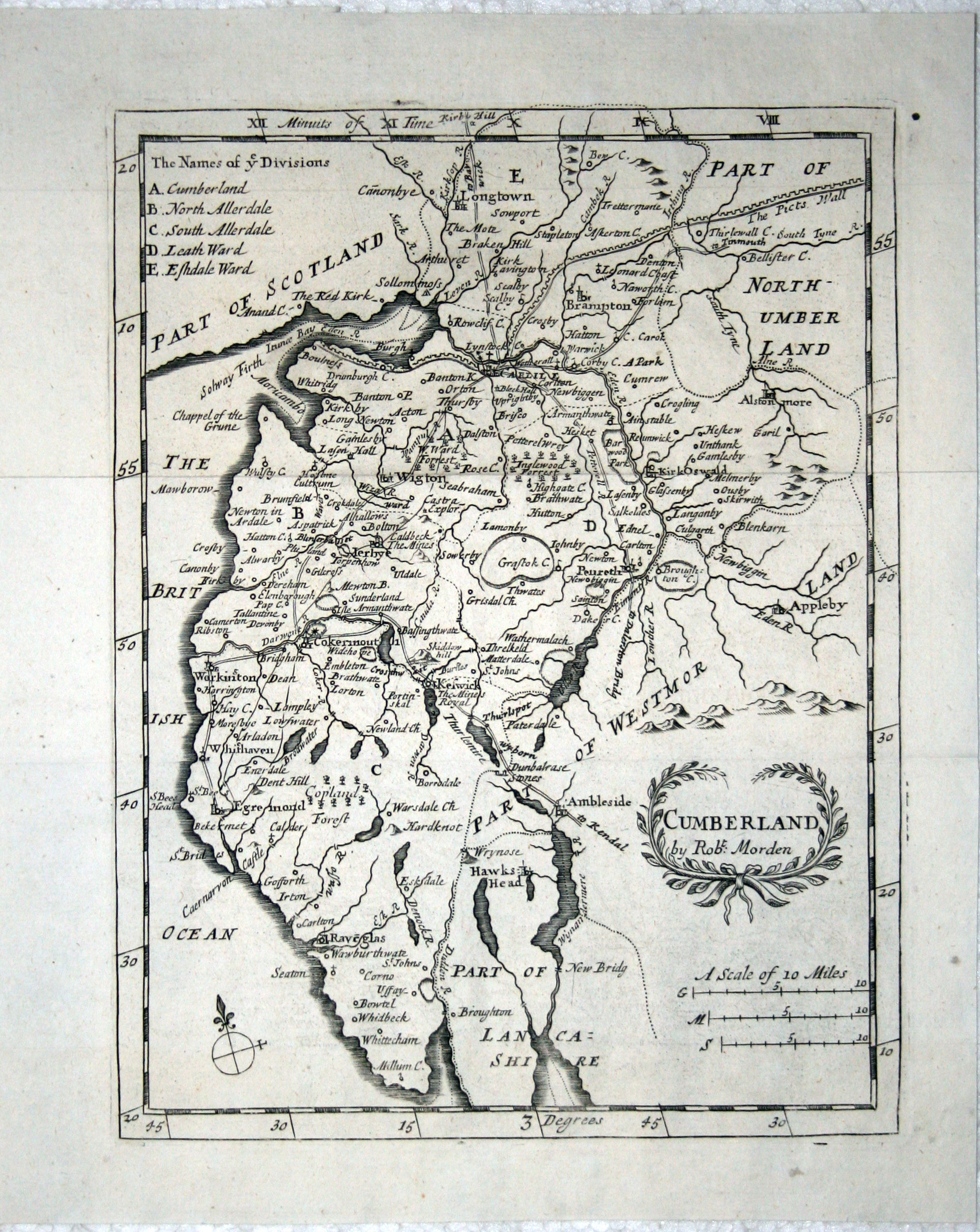
Map of Cumberland by Richard Blome c.1720
-
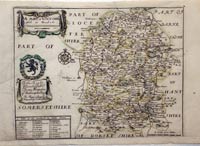
Wiltshire by Richard Blome, c.1716
-
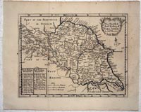
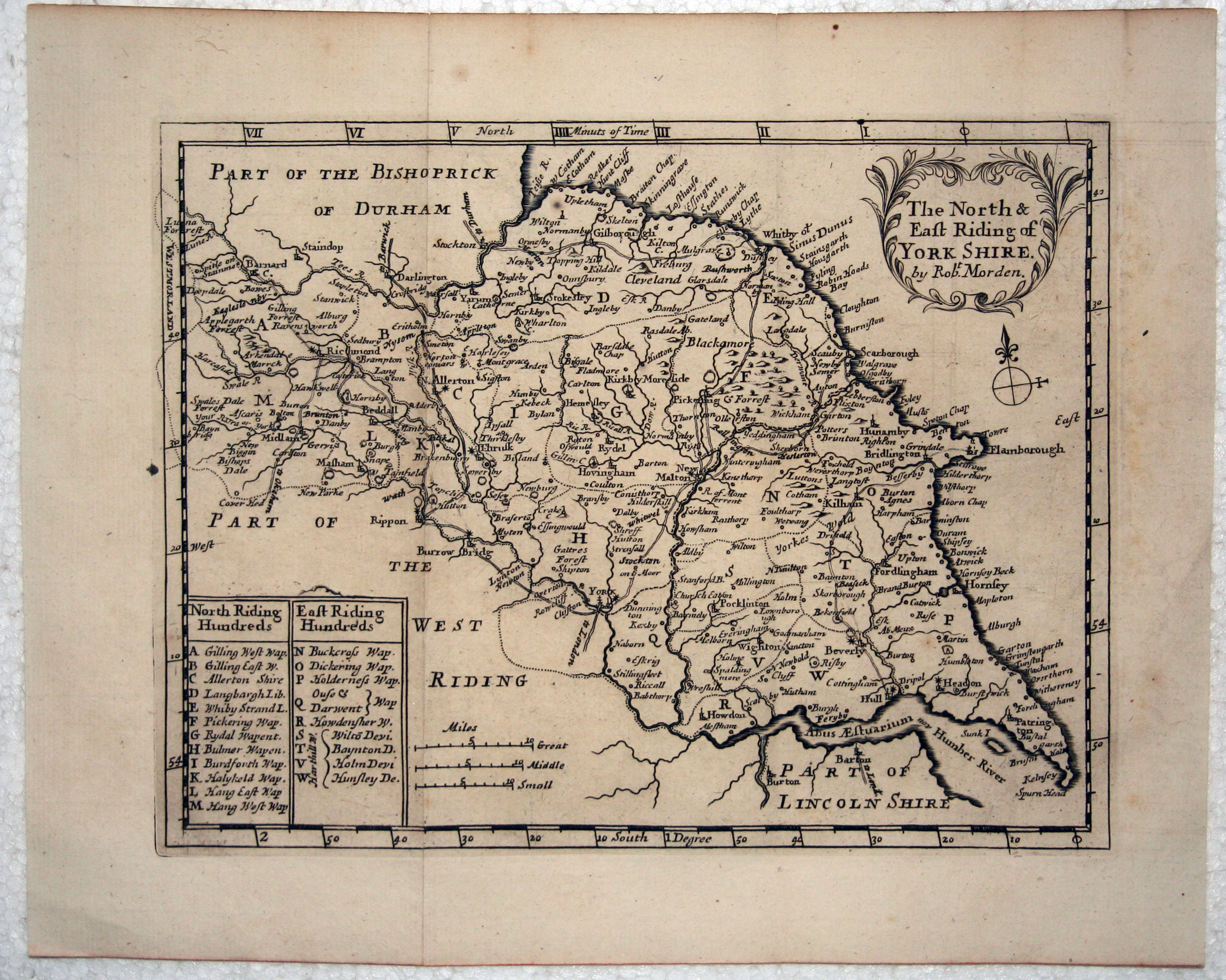
North and East Riding of Yorkshire by Richard Blom, c.1720
