RICHARD NICHOLSON of CHESTER
A WORLD OF ANTIQUE MAPS AND PRINTS
The Cartographers
GEORG BRAUN and FRANS HOGENBURG
Bird's Eye View Town Plans
BRITISH ISLES
London, Cambridge, Oxford/Windsor, Norwich, Bristol, Chester, Edinburgh, Canterbury, Nonsuch Palace, Exeter, York/Shrewsbury/Lancaster/Richmont, Dublin/Glaway/Limerick/Cork
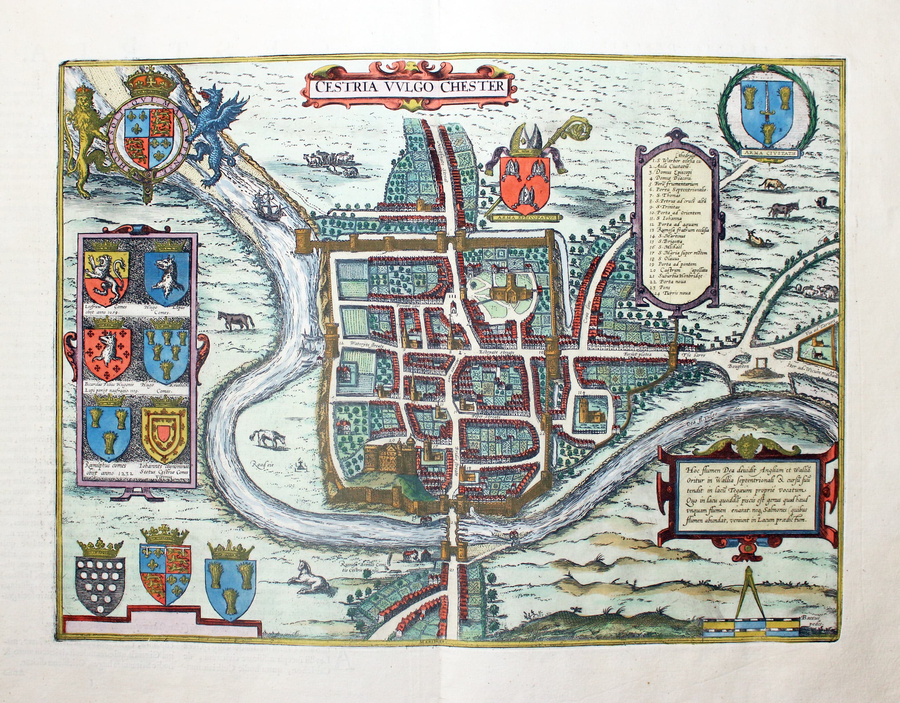
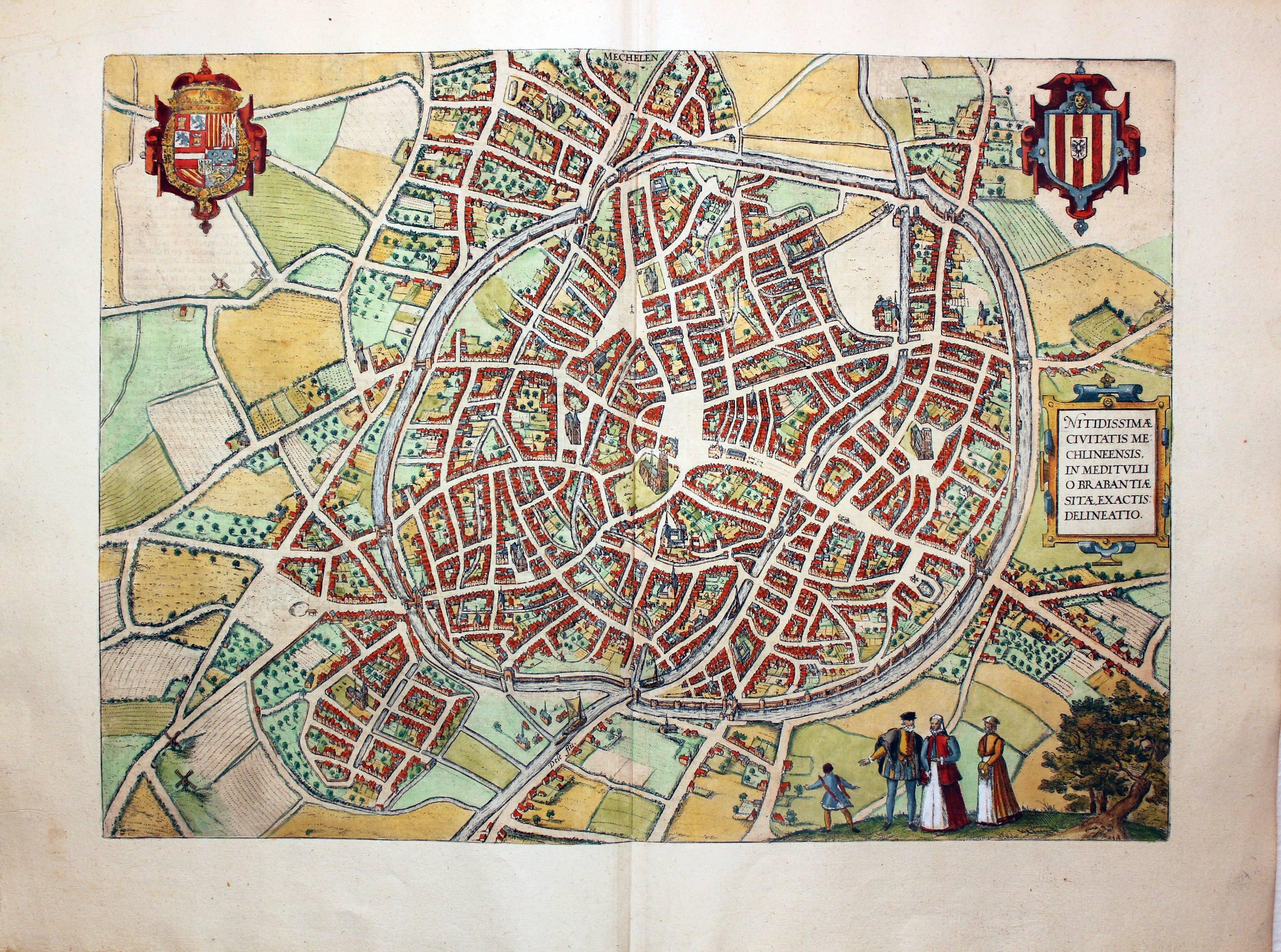
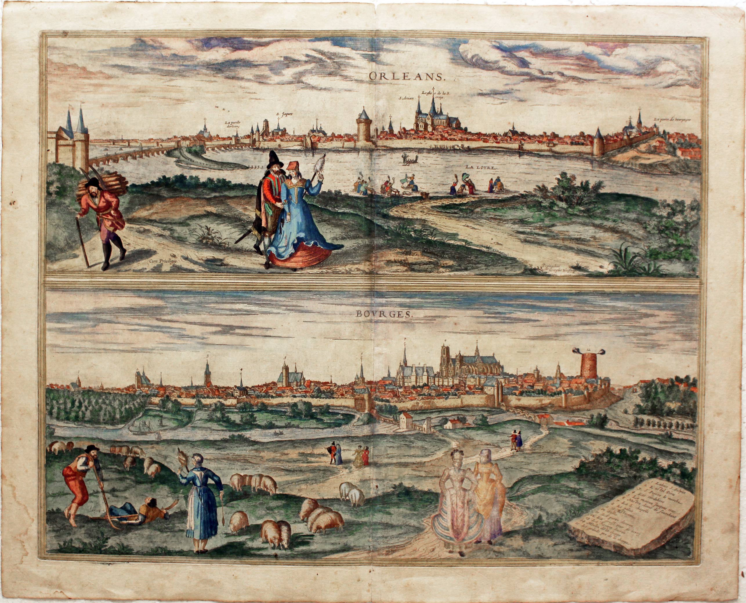
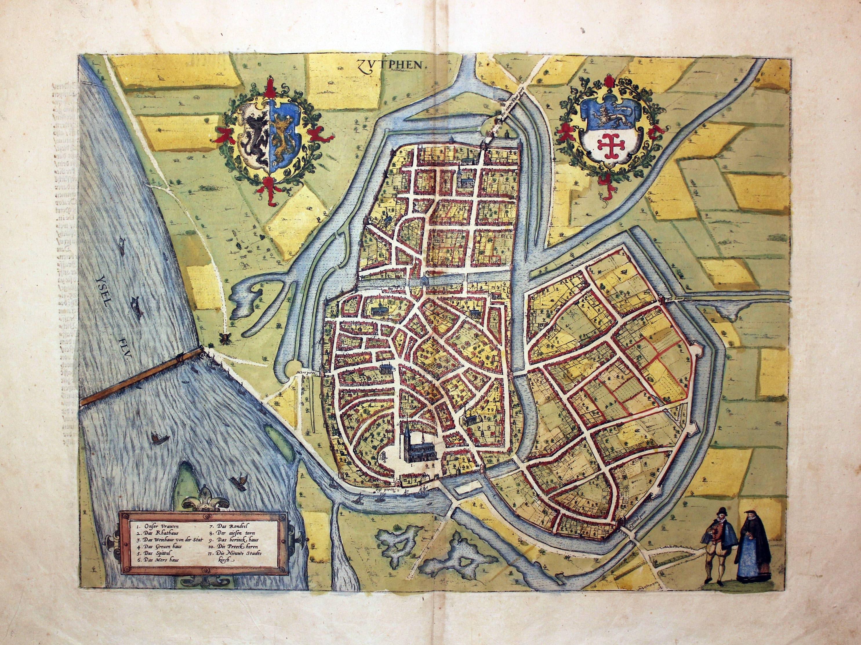
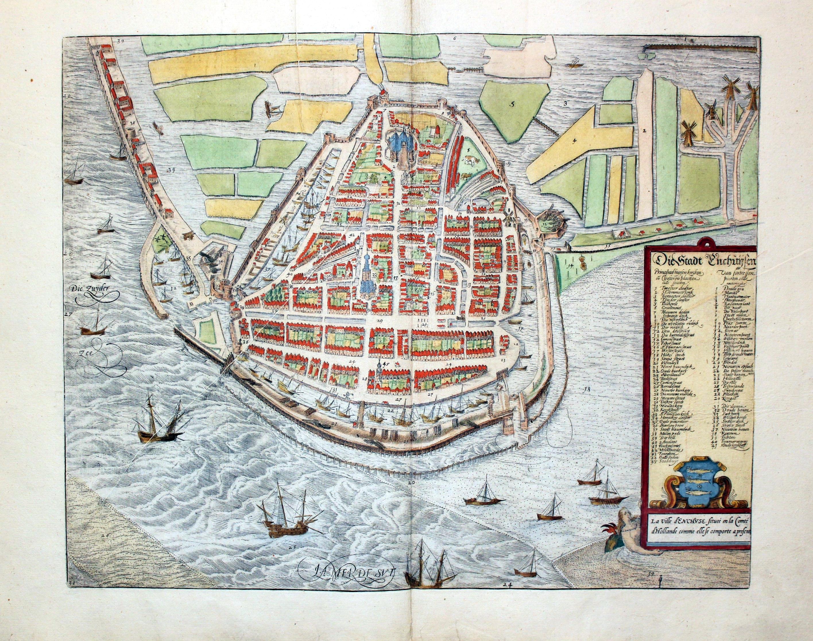
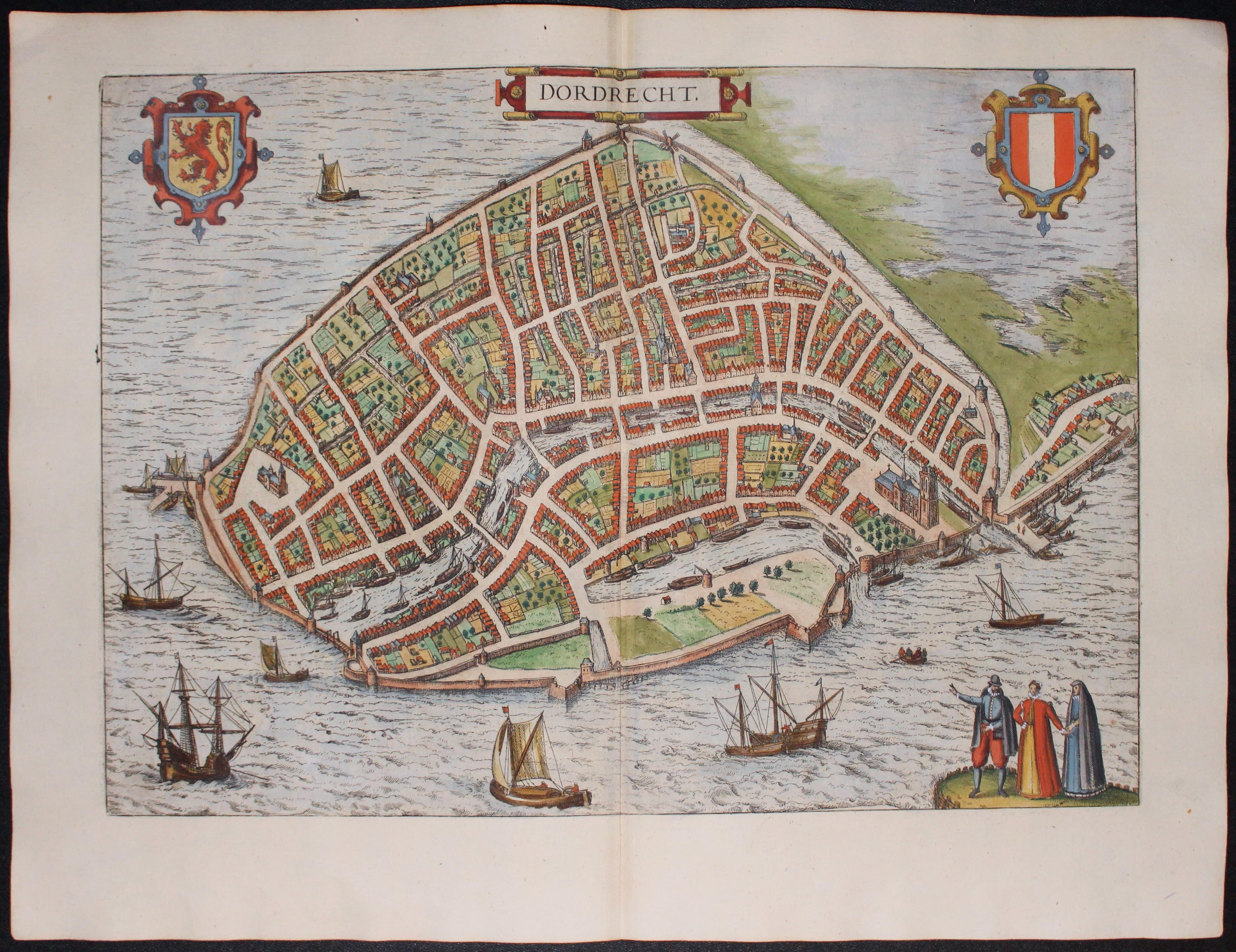
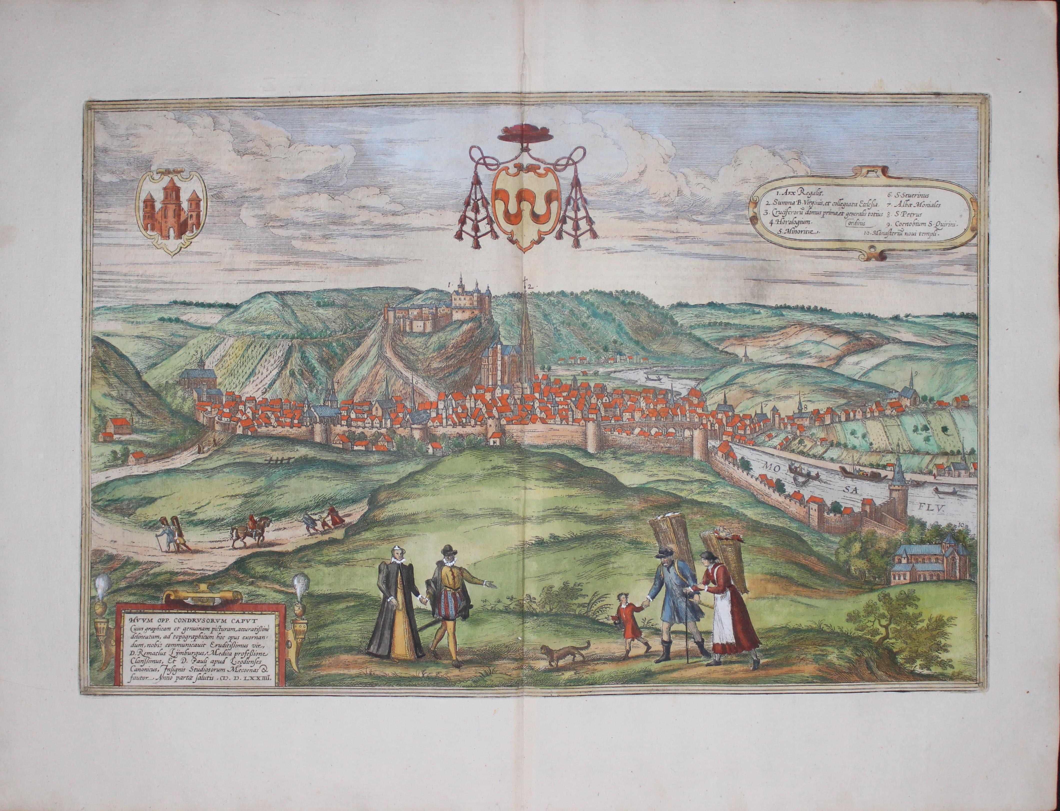
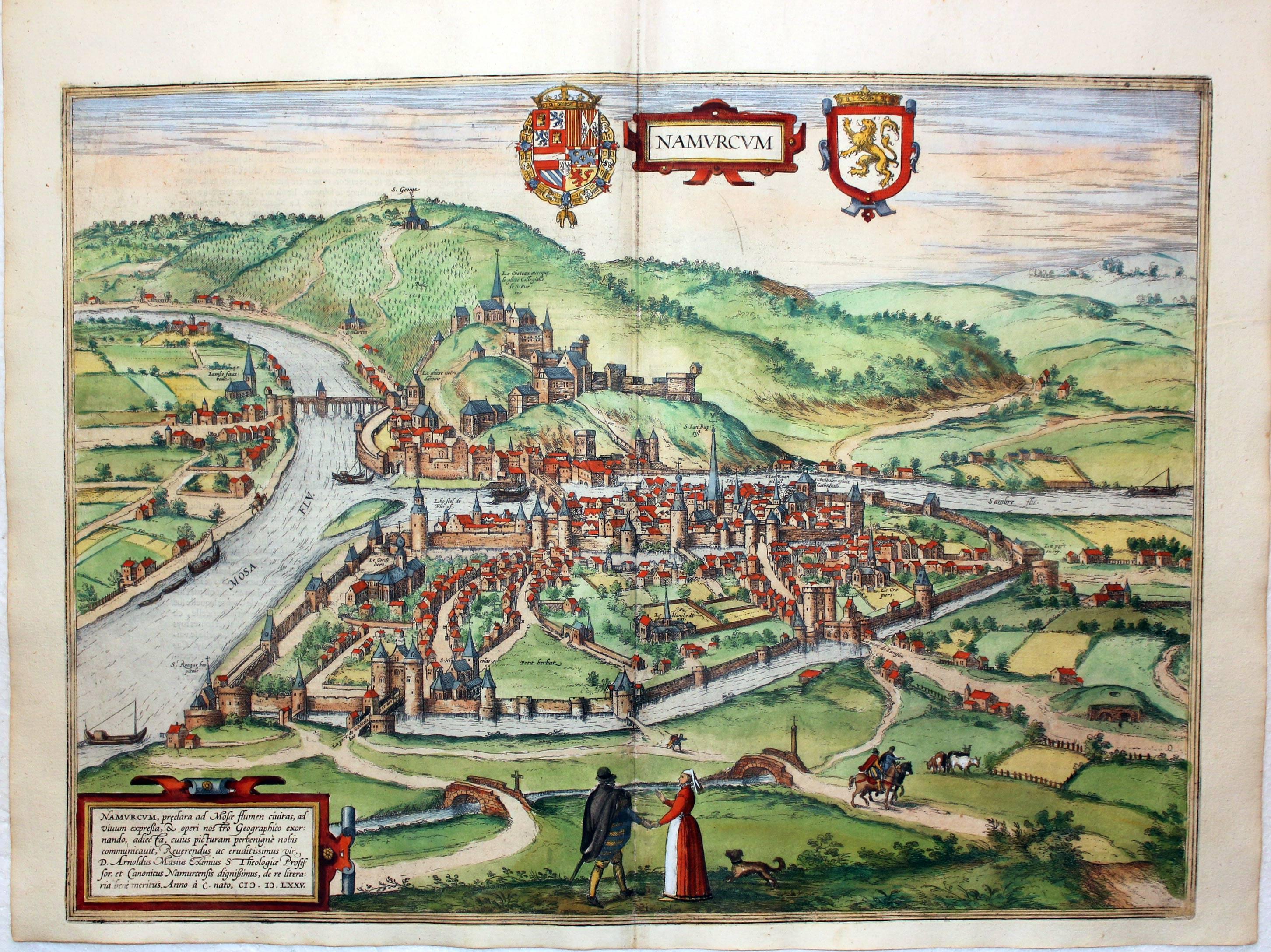
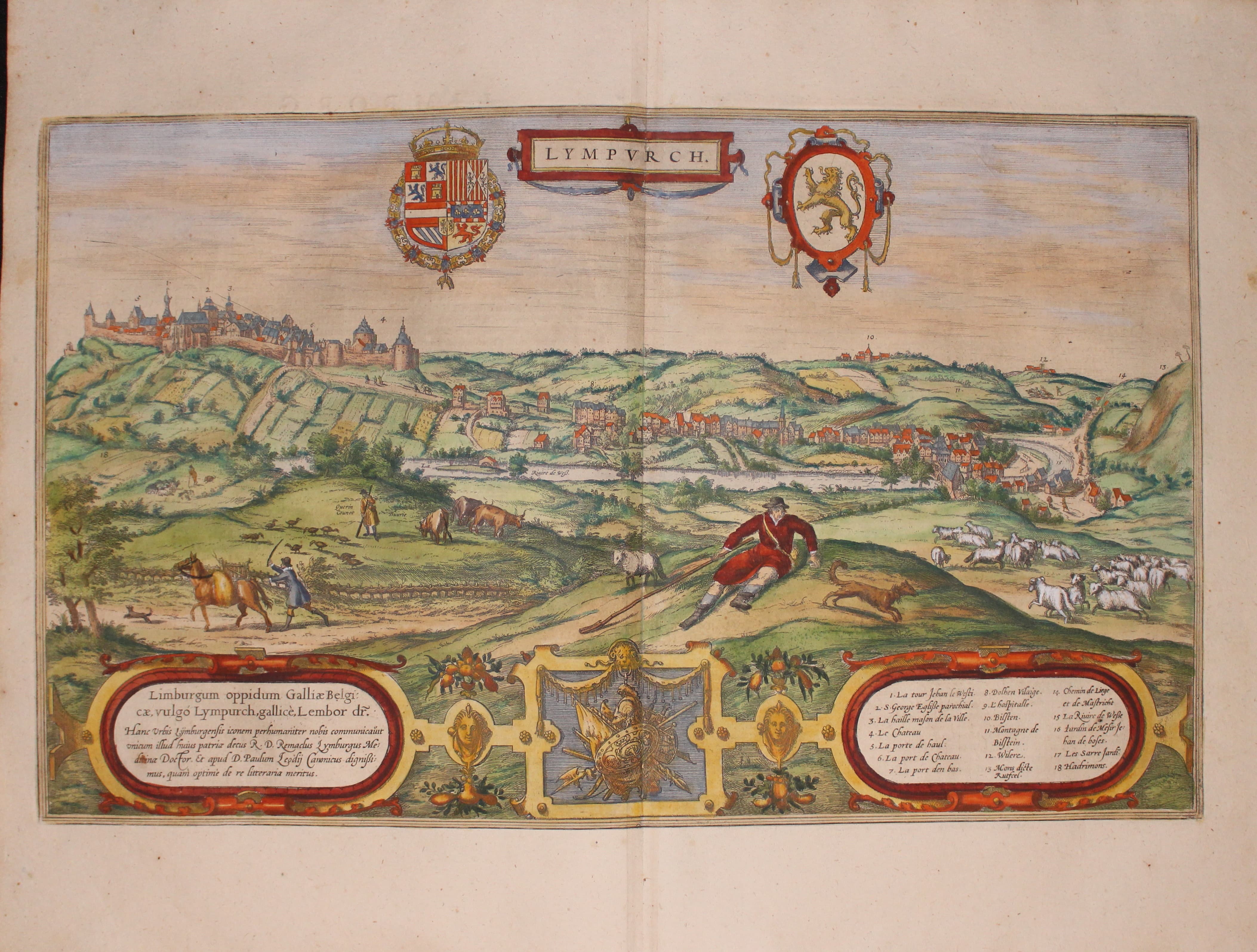
Georg Braun and Frans Hogenberg are best known for their early monumental work Civitates Orbis Terrarum published in 6 volumes from 1572 to 1622. Published at Cologne in many editions in Latin, French and German. It is the first atlas of town plans and views of the known world. There are some 530 of these amazing illustrations published over a period of 45 years mainly featuring European towns. The truly amazing bird's eye views give us a truly unique view of the late 16th century. Georg Braun was the editor of the work. He corresponded with town officials and artists as well as mapmakers to provide material he could use.
The main engraver of the plates was Franz Hogenberg (1535 - 1590) from Mechelen in Belgium. After his death in 1590 many of the plates were engraved by Abraham Hogenberg who it is assumed wsa his son. Another engravers who worked on the Civitates were Simon an den Neuvel and Joris Hoefnagel/.
After Georg Braun's death in 1622 the plates were unused until about 1653 when they were purchased by the Dutch cartographer working in Amsterdam, Jan Jansson. He reprinted about 230 of the plates, some with slight alterations. The original plates later became the property of another Dutch cartographer Frederick de Wit about 1680. In the first part of the 18th century the plates were owned by the Leiden publisher Pieter van der Aa and in the mid 18th century they were owned by the Amsterdam published Jean Covens and Pieter Mortier.
Although you will come across uncoloured specimens of the early editions you will also find ones with rich early hand colouring.
British Isles Gallery
-
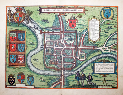
Plan of Chester by George Braun and Franz Hogenberg
Jan Jansson Reissues
-

Plan of Chester by George Braun and Franz Hogenberg
-

Jansson edition of Hogenberg's plan of Chester 1657
You can compare the later Jansson edition with the original Braun & Hogenberg above
In 1657 Jan Jansson reissued the following Braun and Hogenberg plates with the Elizabethan costume figures erased
London; York etc.; Chester; Oxford and Windsor; Canterbury; Norwich; Bristol; Exeter; Edinburgh; Dublin
Reference:
Map Collectors' Circle No. 22 Town Plans of the British Isles by Angela Fordham
-

Plan of Mechelen by Georg Braun and Franz Hogenberg c.1588
-
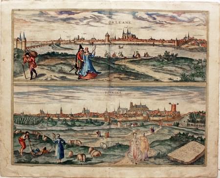
Plans of Orleans and Bourges by Geor Braun and Franz Hogenberg c.1588
-
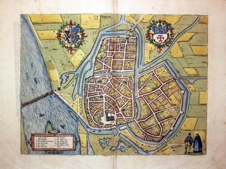
Plan of Zutphen by Georg Braun and Franz Hogenberg c.1588
-

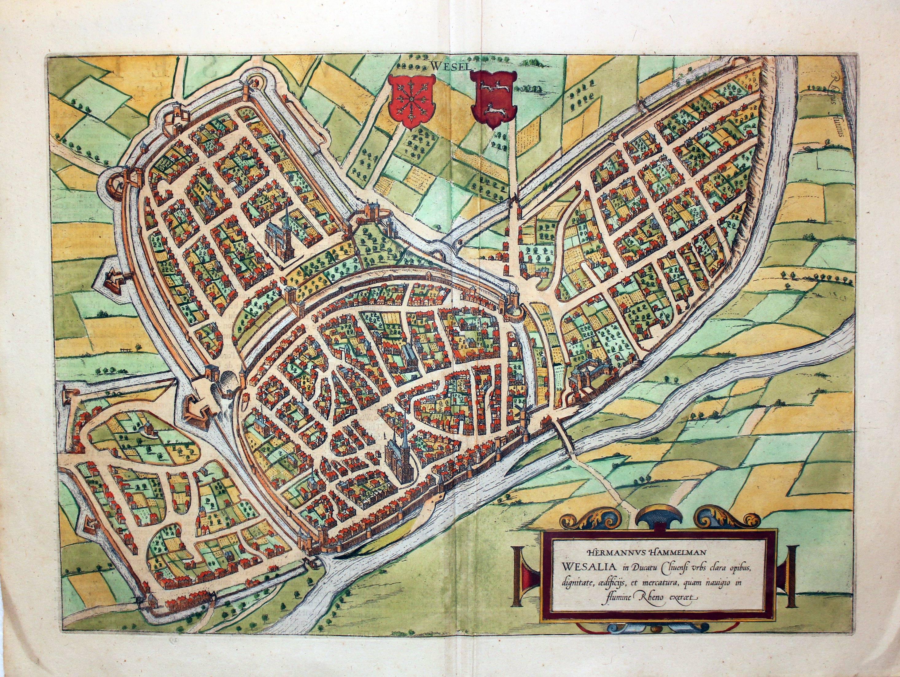
Plan of Wesel by Georg Braun and Franz Hogenberg c.1588
-

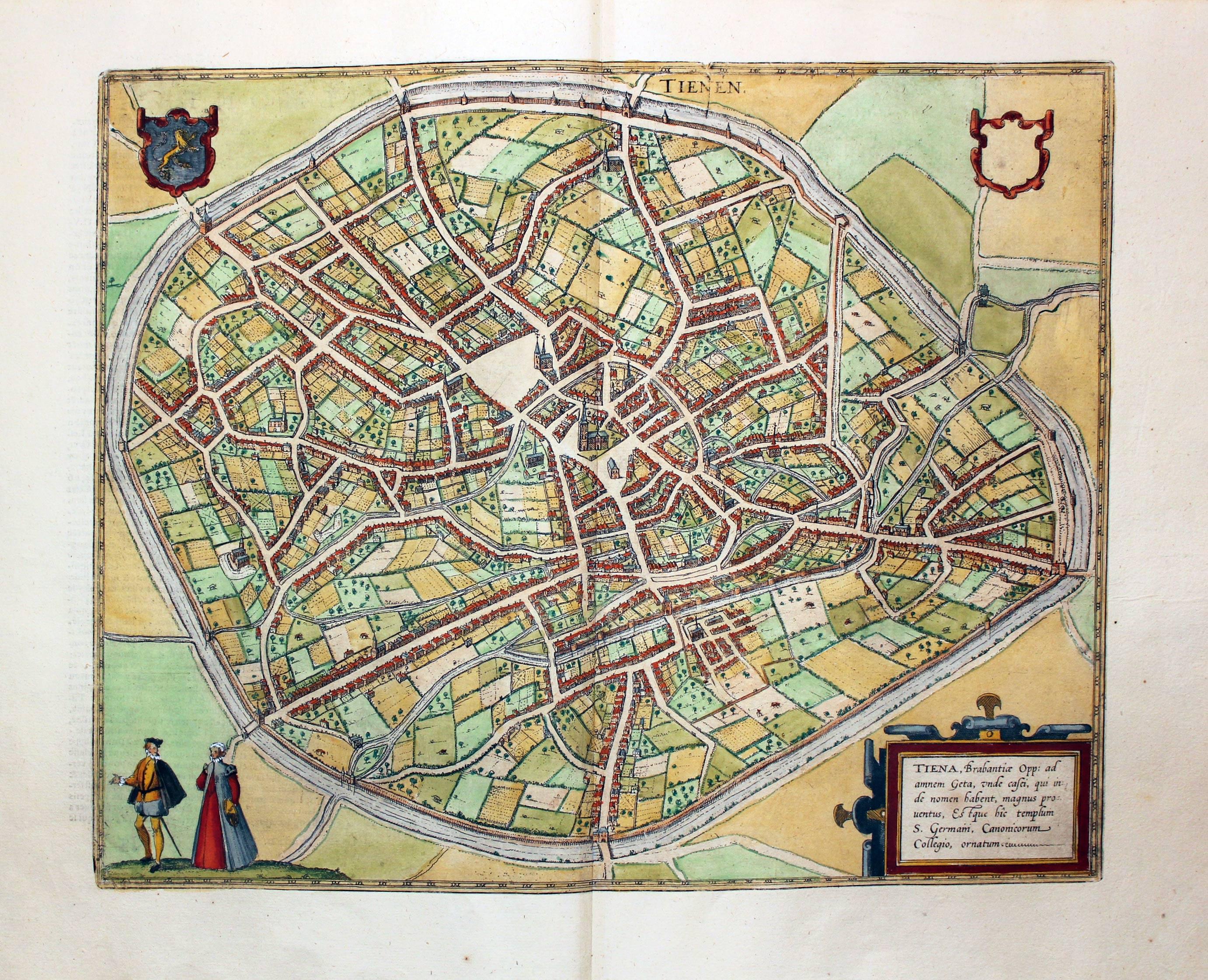
Plan of Tiene by Georg Braun and Franz Hogenberg c.1588
-

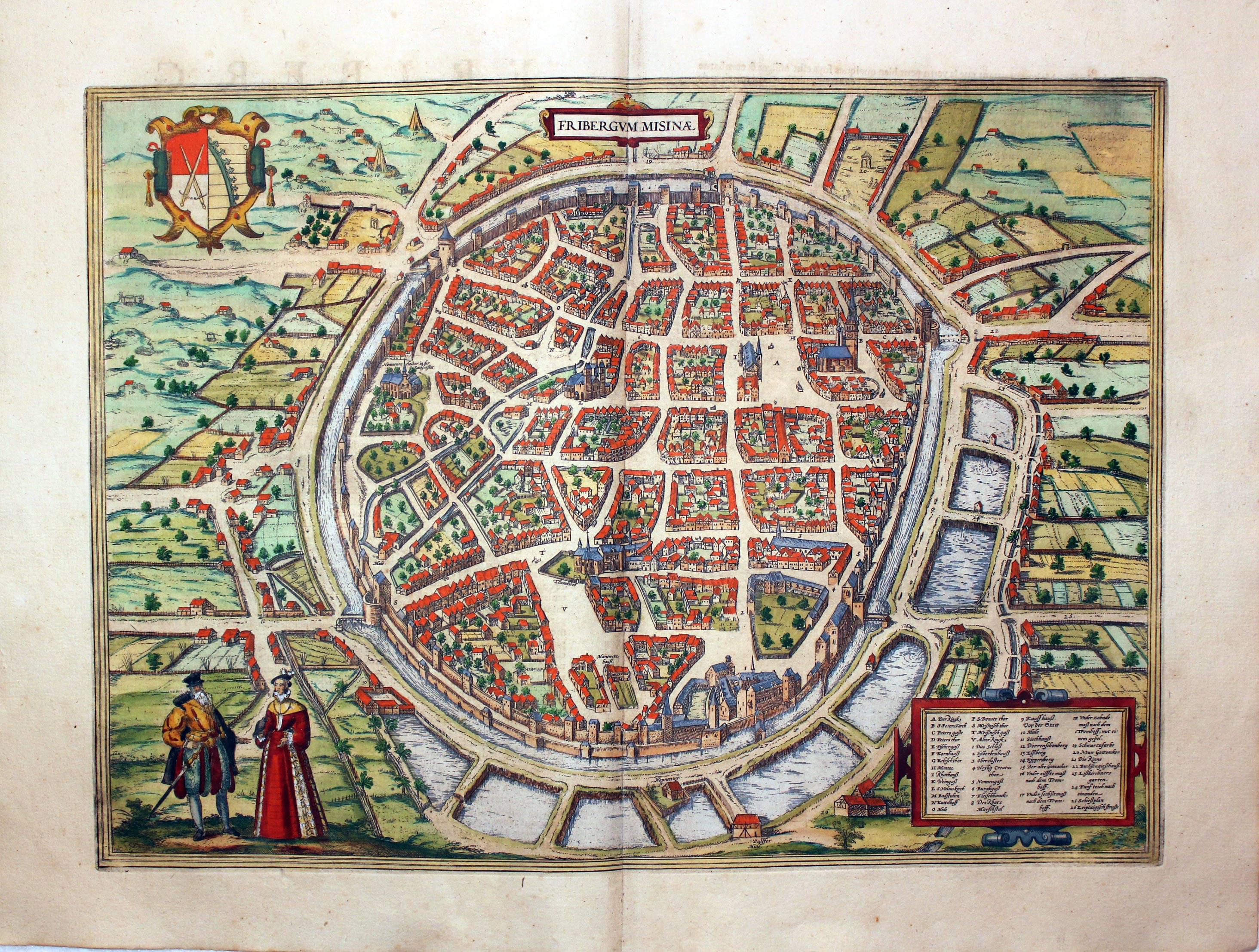
Plan of Freiburg by Georg Braun and Franz Hogenberg c.1600
-
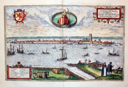
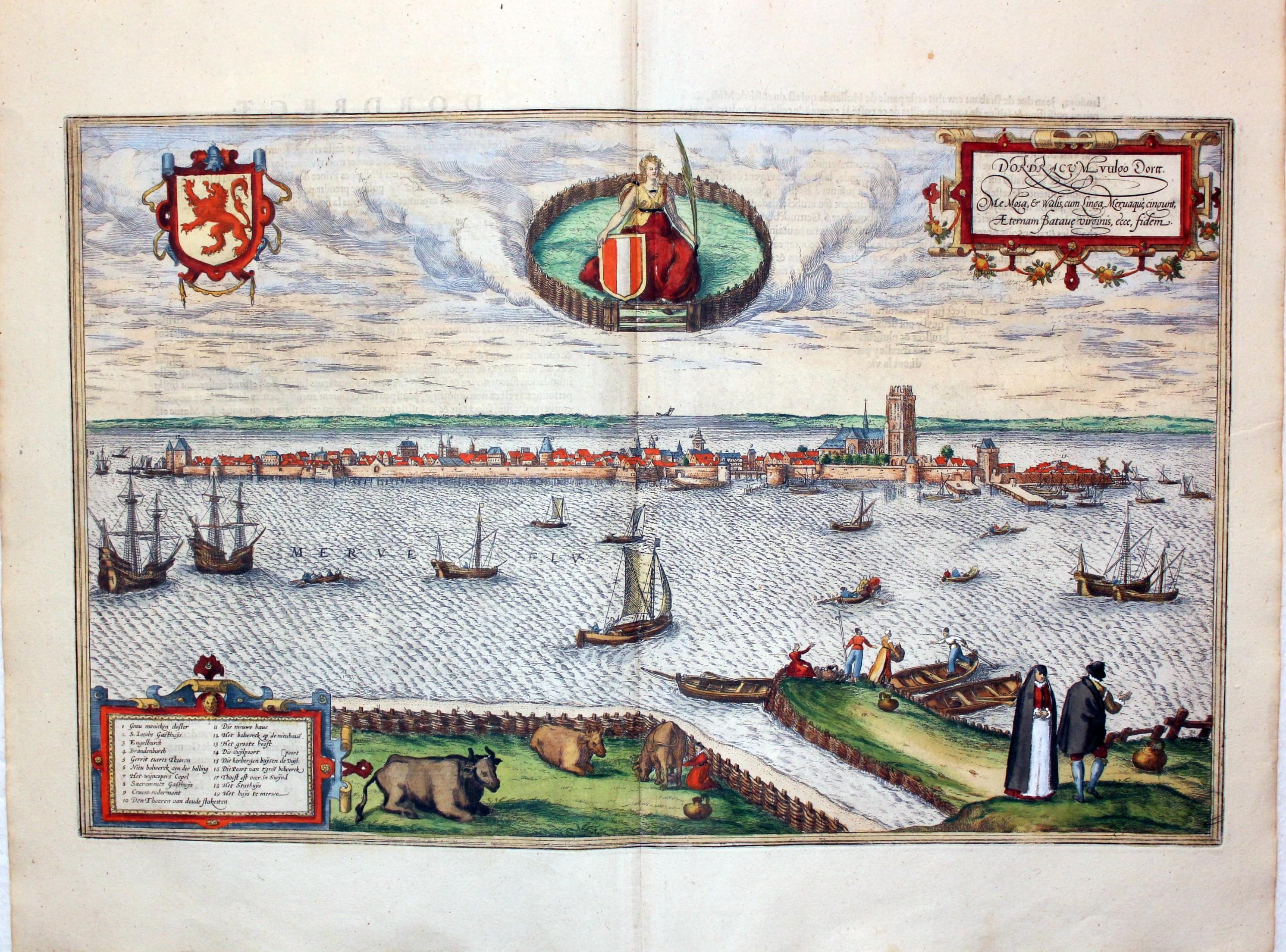
Plan of Dordrecht by Georg Braun and Franz Hogenberg c.1600
-

Plan of Enkhuizen by Georg Braun and Franz Hogenberg c.1600
-

Plan of Dordrecht by Georg Braun and Franz Hogenberg c.1600
-

Plan of Huy by Georg Braun and Franz Hogenberg c.1600
-

Plan of Namur by Georg Braun and Franz Hogenberg c.1600
-

Plan of :imburg by Georg Braun and Franz Hogenberg c.1600
British Isles Plans and Views
References:
Just my personal opinion
One can only marvel at these amazing works of art. It is just a pure delight to handle them. I am not sure if it is the way the town views are displayed, the costumed figures or the acceptance of the age of the plan you are holding. If that is not enough there is the sumptuous early hand colouring. Over the years I have had more specimens with early hand colouring than uncoloured specimens. There may not be a birds eye view of the area you collect but still consider purchasing one of another area. It will certainly add status to your collection and the joy of being its custodian for a portion of its life.


