RICHARD NICHOLSON of CHESTER
A WORLD OF ANTIQUE MAPS AND PRINTS
The Cartographer
JOHN BILL
Born in the 16th century. A mapmaker and printer who produced a series of small county maps of England and Wales. The look rather like Pieter van den Keere's maps but are so much rarer
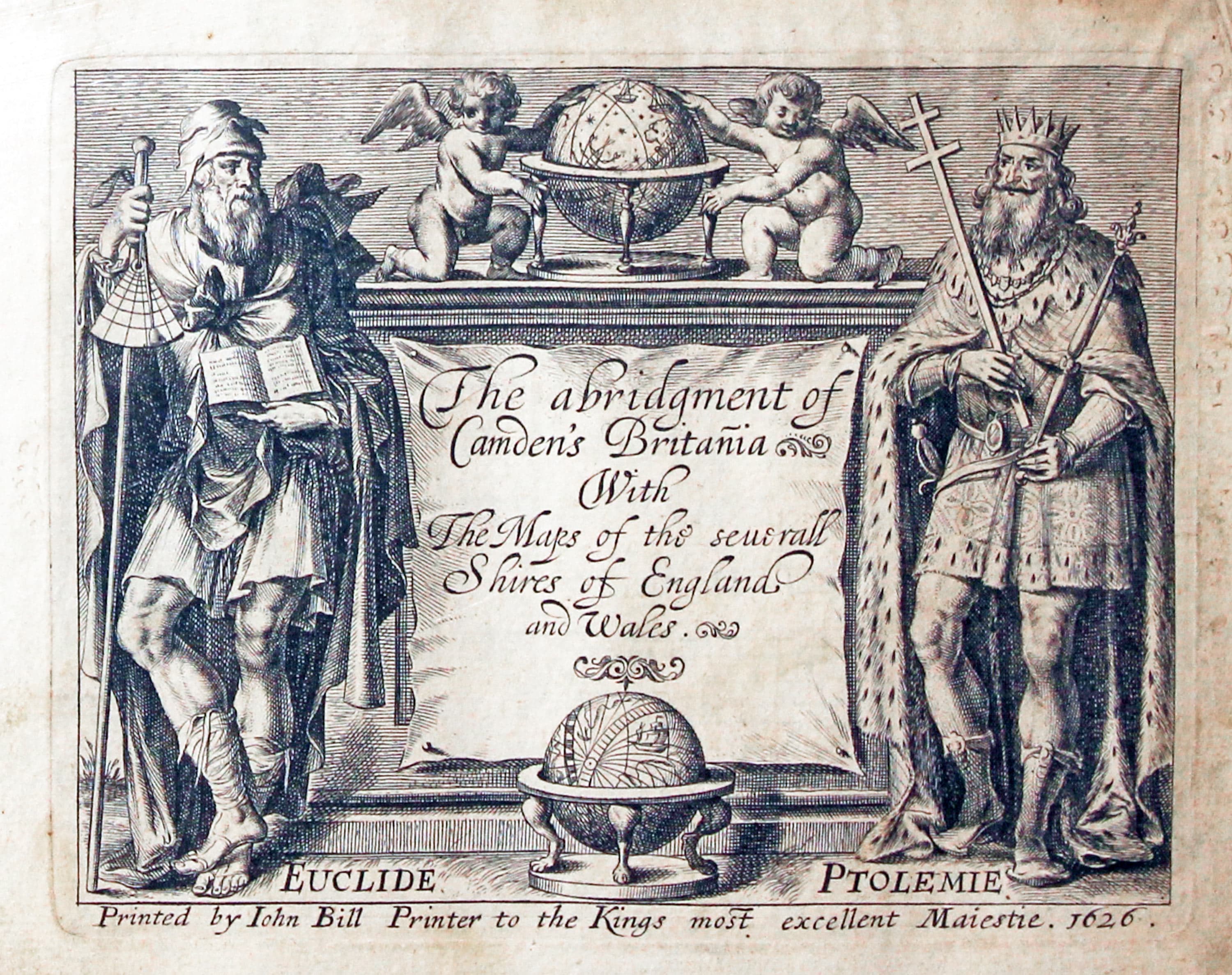
The abridgment of Camden's Britannia. With The Maps of the seuvrall Shires of England and Wales. Printed by John Bill Printer to the King's most excellent Maiestie, 1626
-
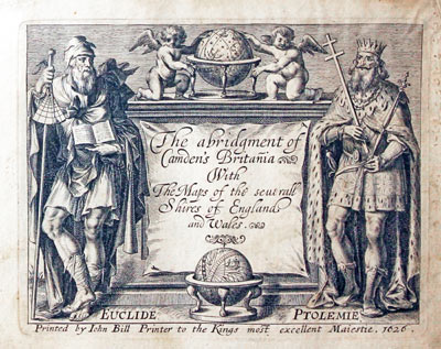
Title page to The abridgement of Camden's Britannia ... John Bill 1626
Just the one edition of this atlas published in 1626

John Bill was born in 1576. Although probably born up north he worked in London from around 1590. He was apprenticed to the printer John Norten in 1592 and was involved in the production of Theatre of the Whole World published in 1606. This was a version of the Abraham Ortelius atlas with English text. He was a successful businessman having addresses as a printer at Northumberland House, St. Martins Lane, Aldersgate and Hundson House in Blackfriars, London. John Bill became associated with the King's Printing House from 1617. He became Master and Freeman of the Stationer's Company. Sir Thomas Bodley well known for his support for the Oxford University library commissioned John Bill to travel abroad collecting books. The library was re-opened on 8th November 1602 under the name of "Bodleian Library".
Although John Bill's English county atlas was entered in the Stationer's Register in 1620 it was not until 1626 that The abridgment of Camden's Britania With The Maps of the severall Shires of England and Wales was published.
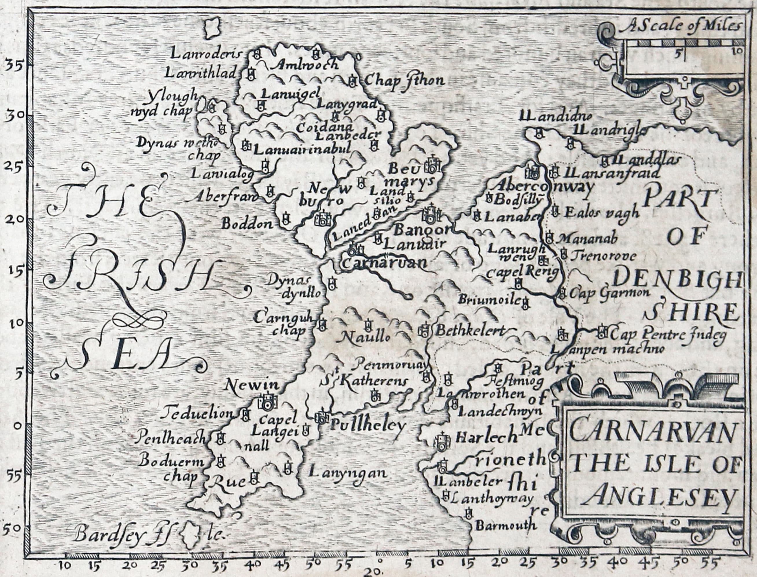
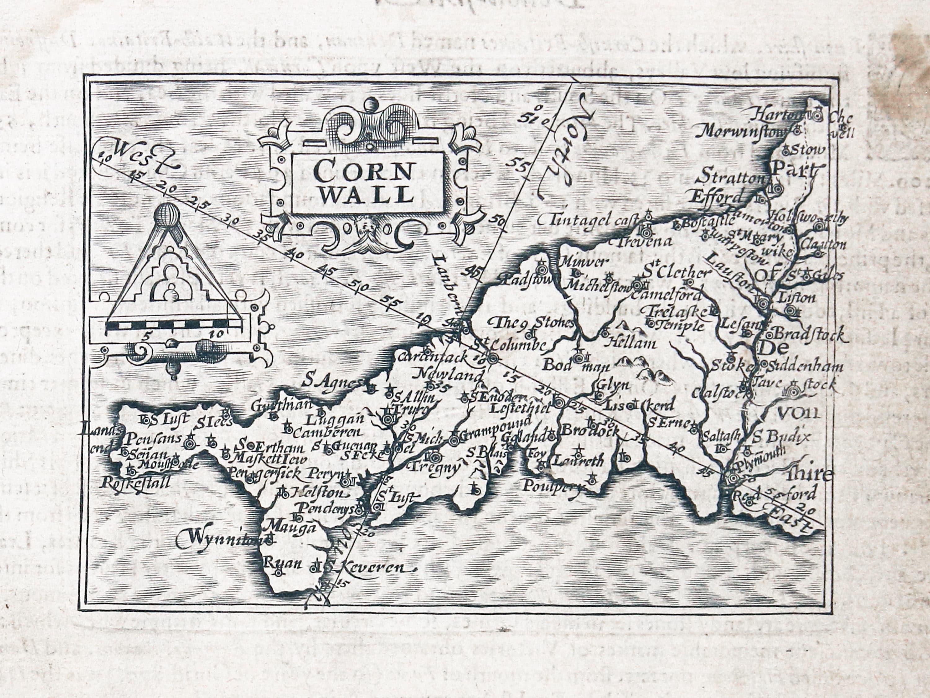
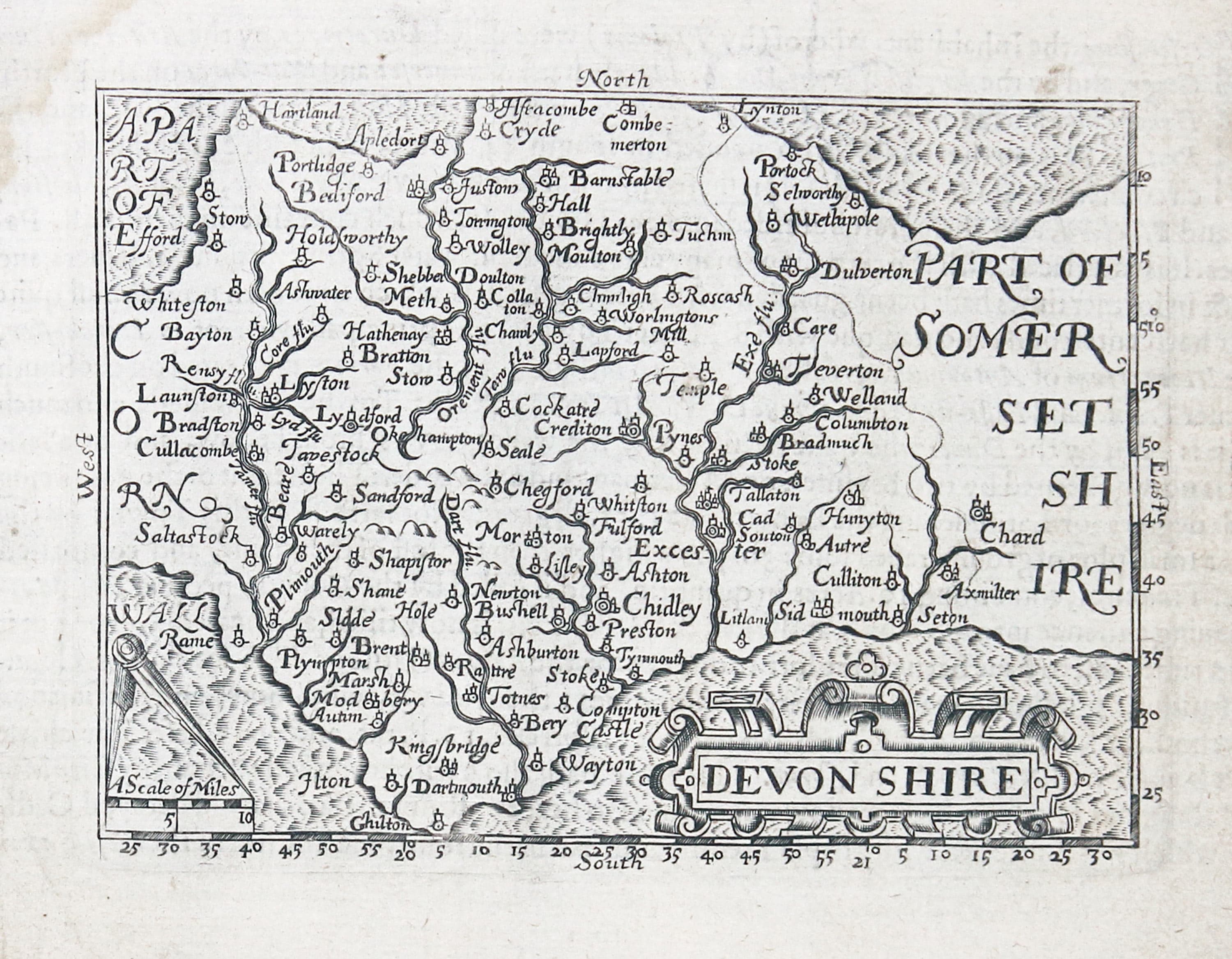
There is just the one edition of this now rare series of miniature county maps by this English cartographer. Rather similar in style the miniature county maps by Pieter van den Keere but slightly more attractive and with flamboyant lettering and much larger blank margins. They were amongst the first maps to show degrees of longitude and latitude marked on each map. The English text on verso does not match the map. This was done so that when you are viewing a map on the right hand side of the atlas (recto) the descriptive text appears on the left hand side (verso). You will probably find it difficult to locate a John Bill map for the county of your choice but that just adds more excitement to the quest. I have read that perhaps the number of copies printed was less than 200.
Listen instead of Reading
-

Map of Cheshire by John Bill 1626
-

Map of Caernarvonshire and Anglesey by John Bill 1626

The English Counties
in the order that they appear in my copy the atlas. This varies slightly from the listing in Chubb which shows Hertfordshire, Oxford and Buckinghgamshire wereas the order in my copy of the atlas is Hertfordshire, Buckingham and Oxfordshire.
-

Cornwall, John Bill 1626
-

Devonshire, John Bill 1626
-

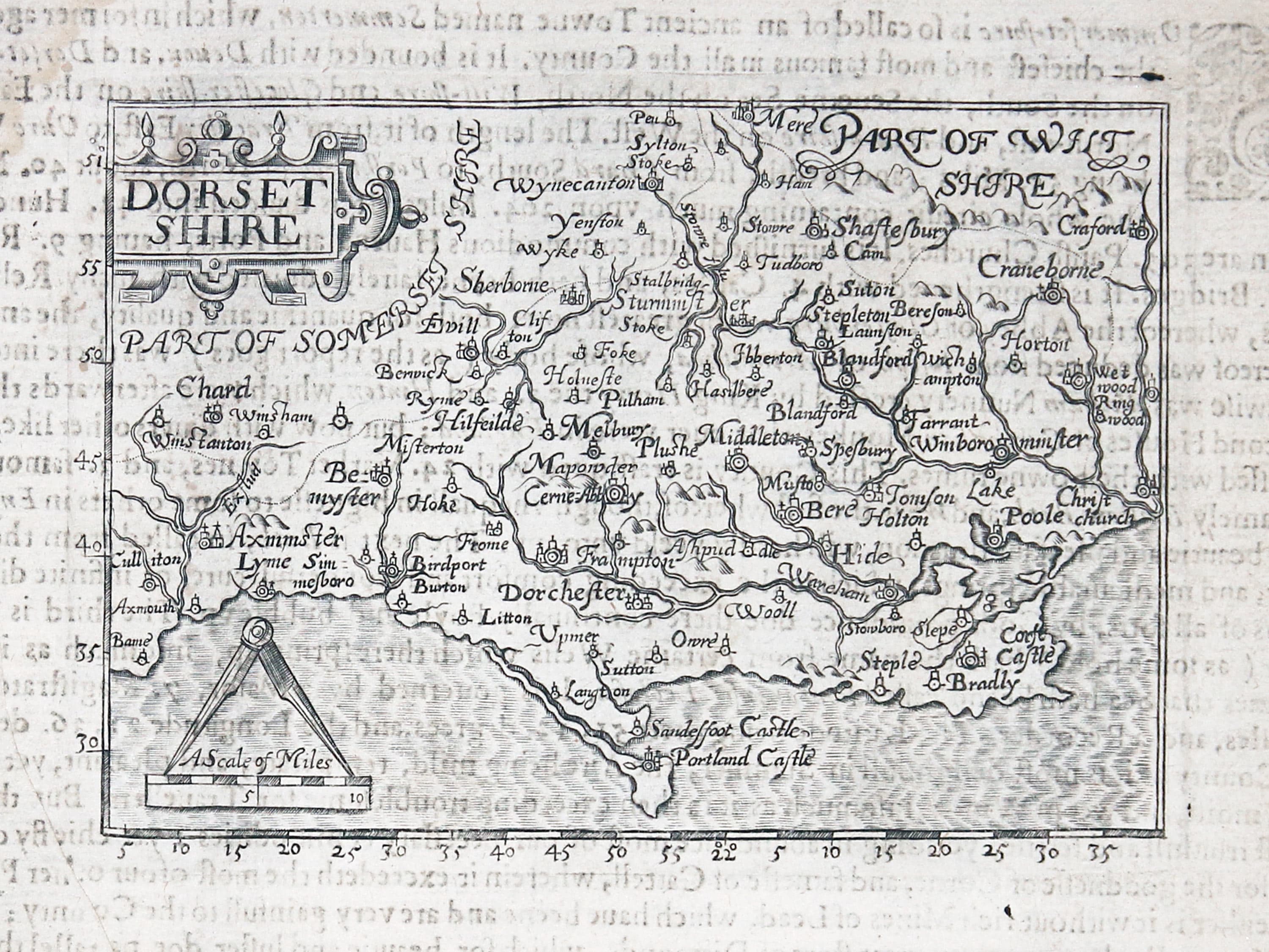
Dorsetshire, John Bill 1626
-

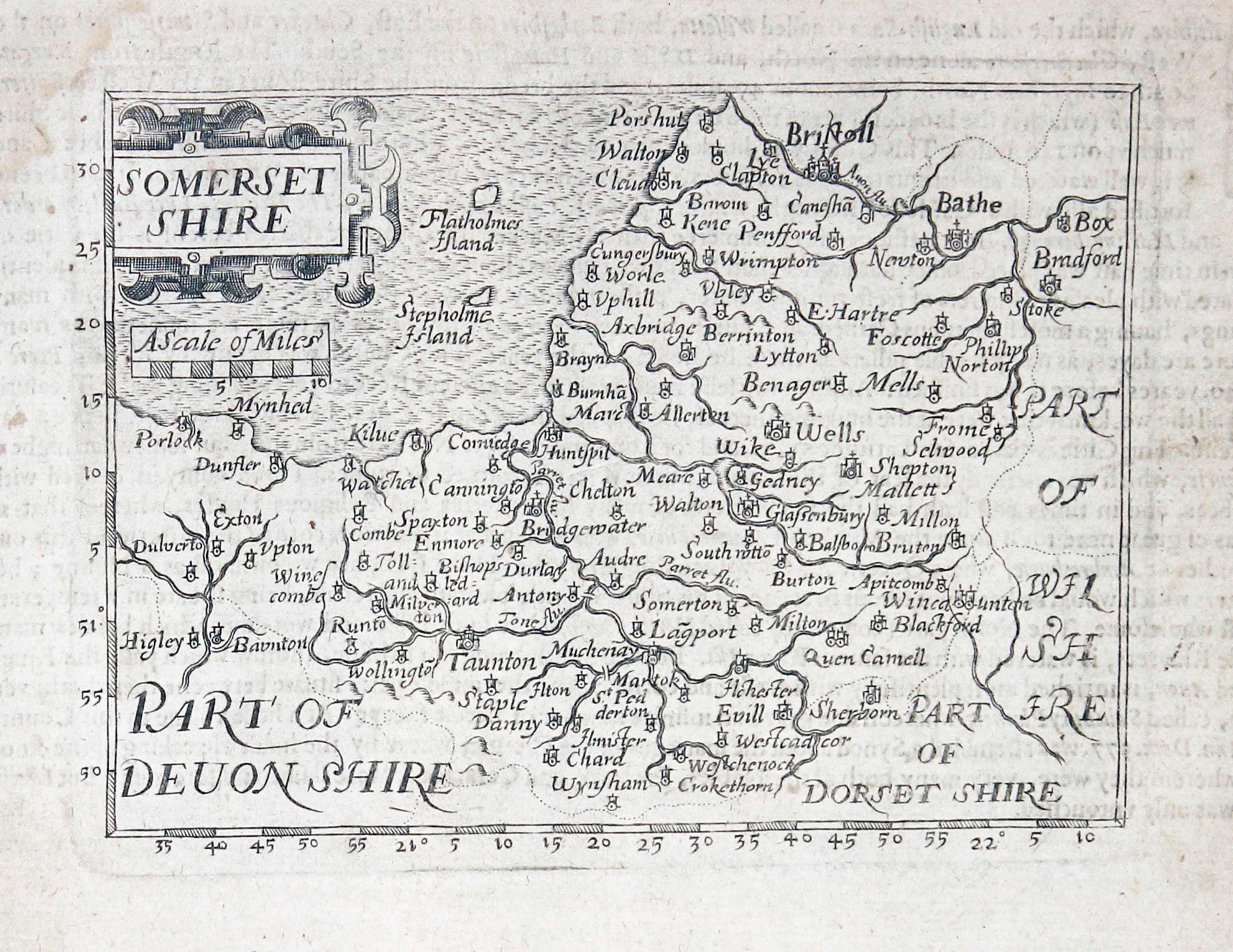
Somersetshire, John Bill; 1626
-

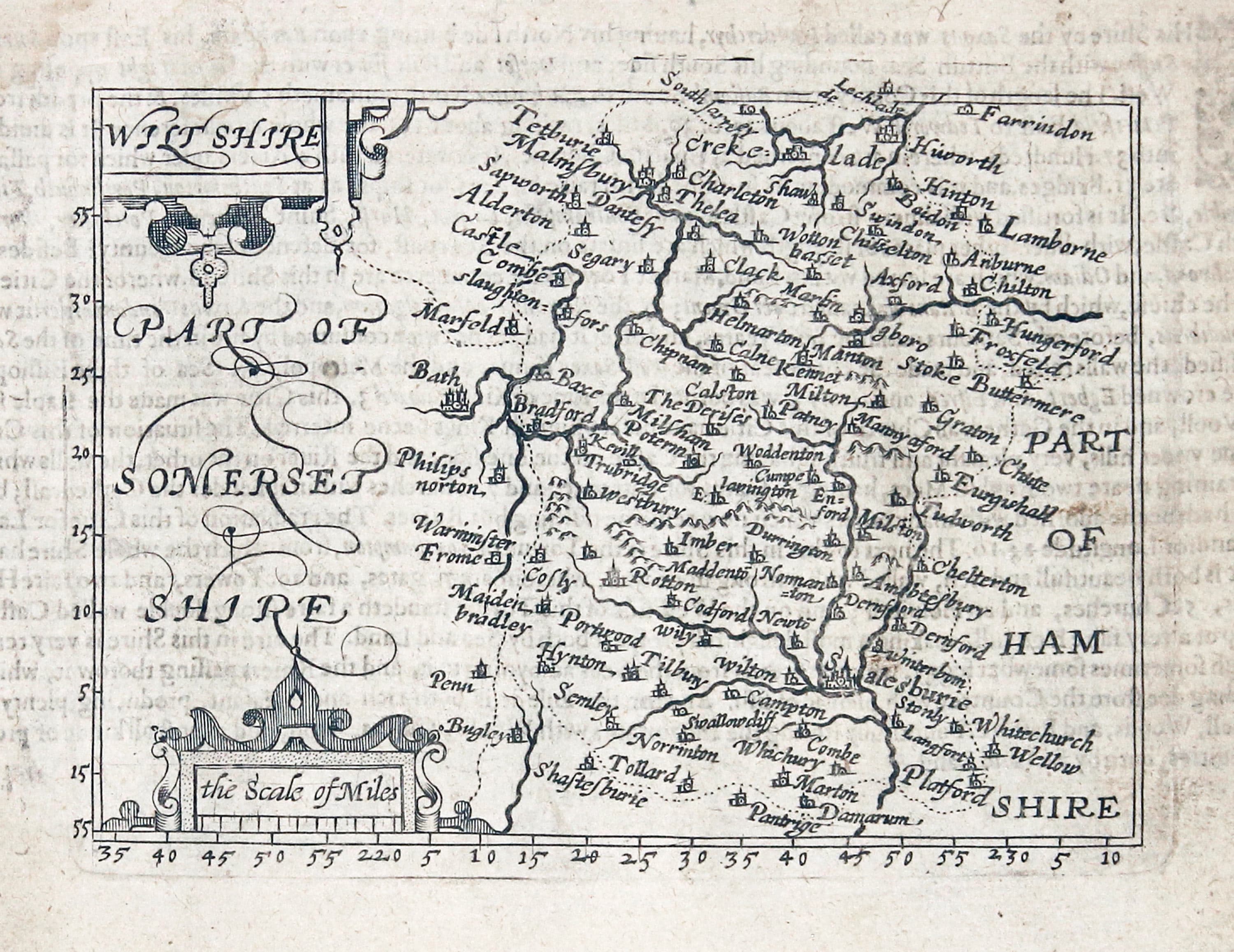
Wiltshire, John Bill 1626
-

Hampshire, John Bill 1626
-

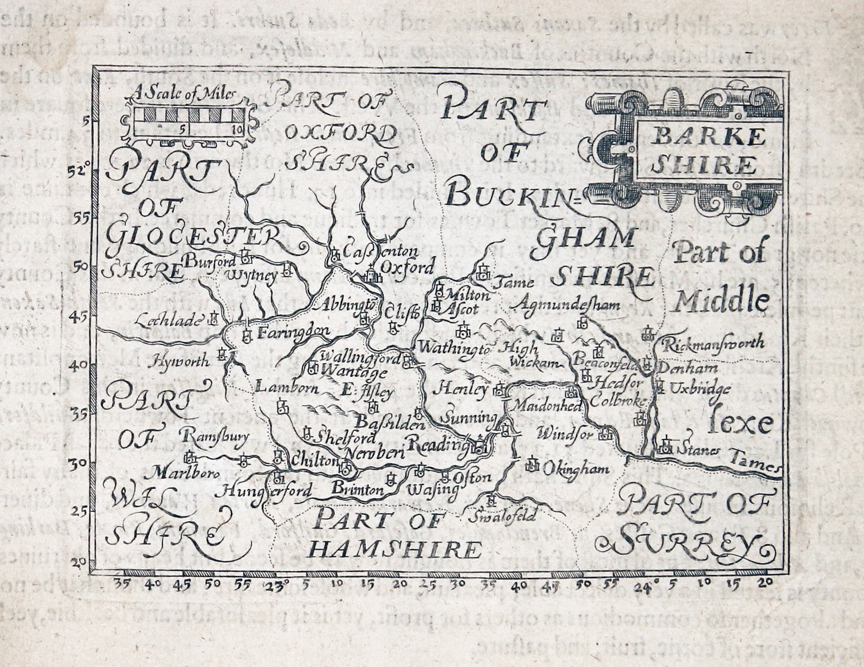
Berkshire, John Bill 1626
-

Surrey, John Bill 1626
-

Sussex, John Bill 1626
-
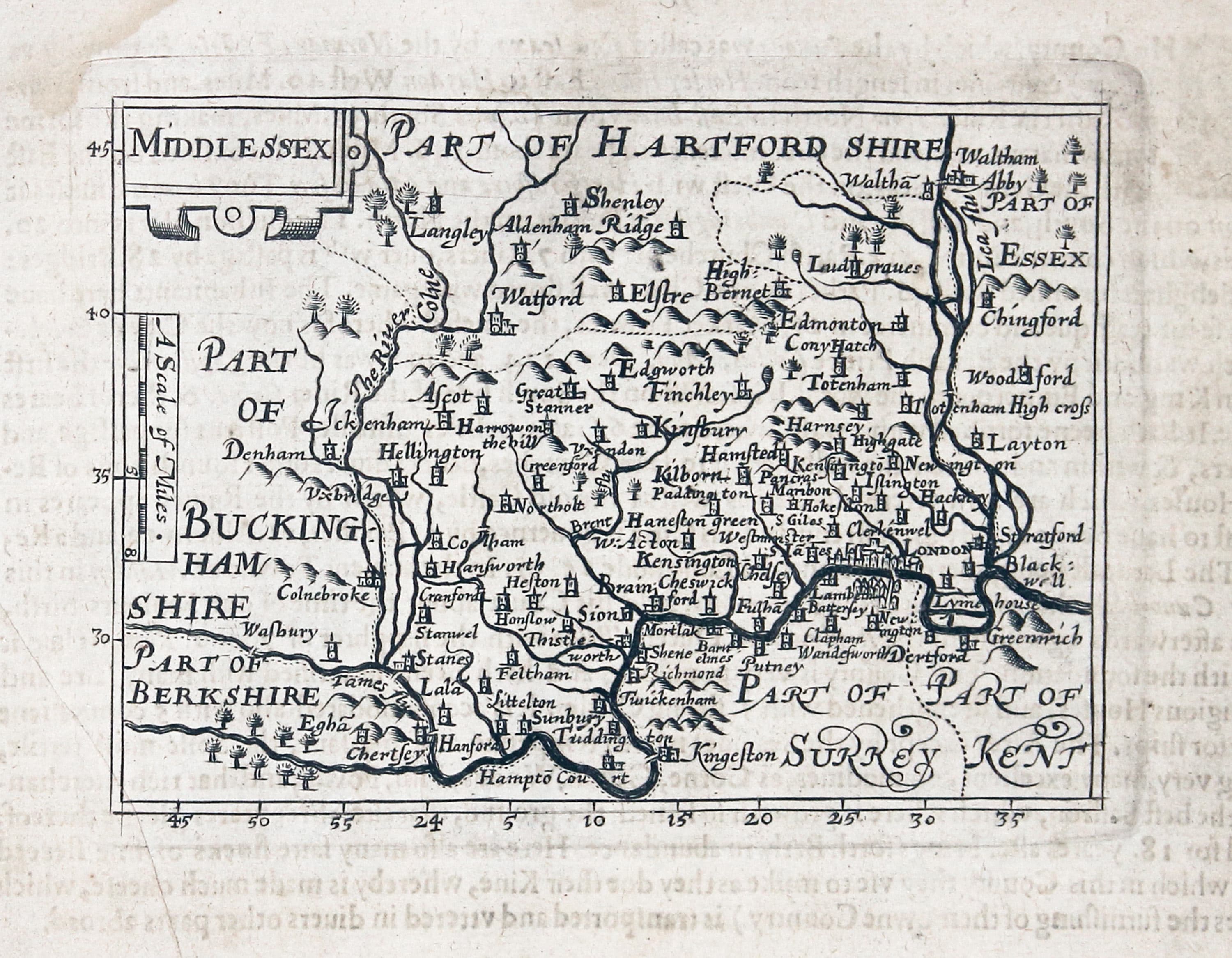
Middlesex, John Bill 1626
-

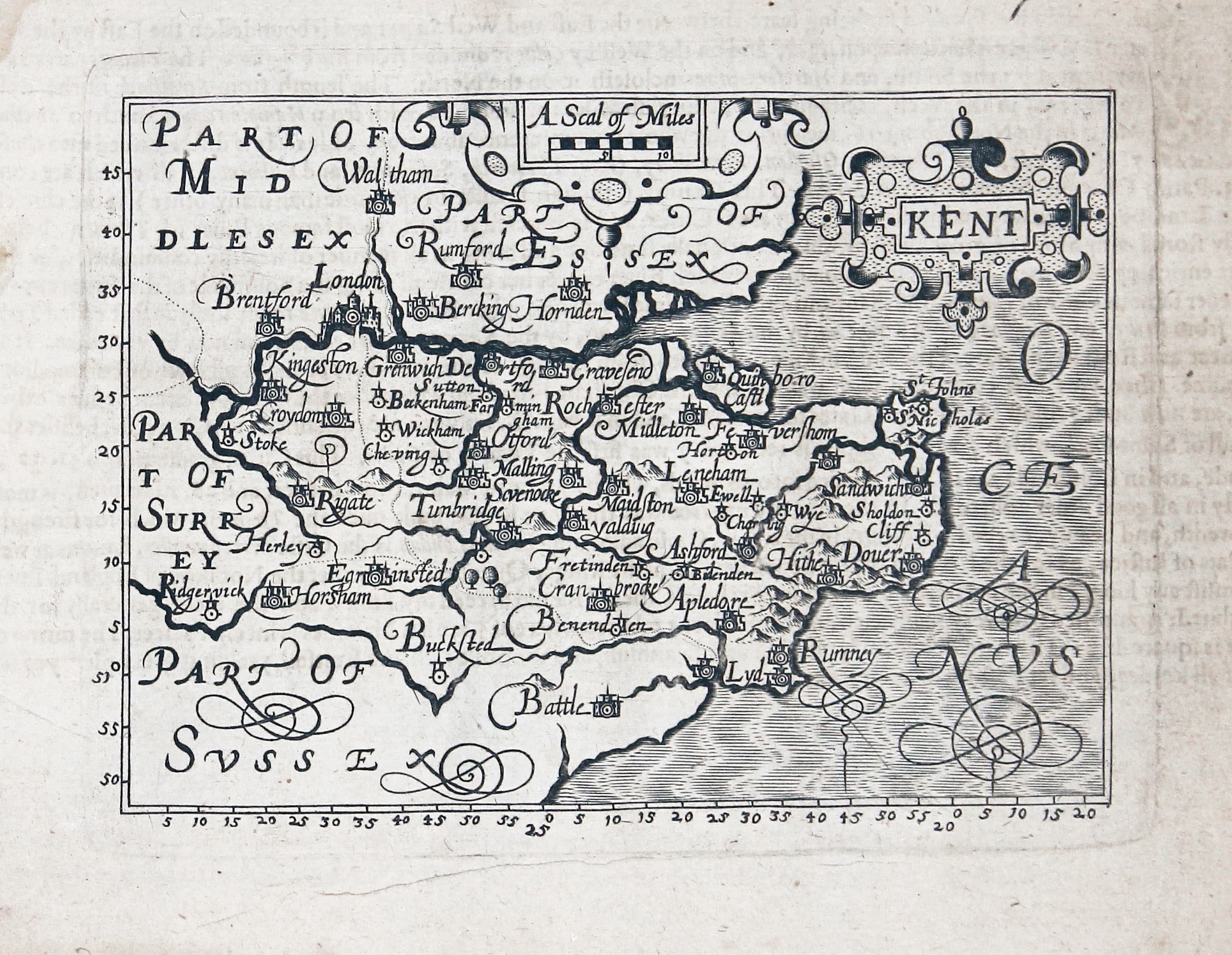
Kent, John Bill 1626
-
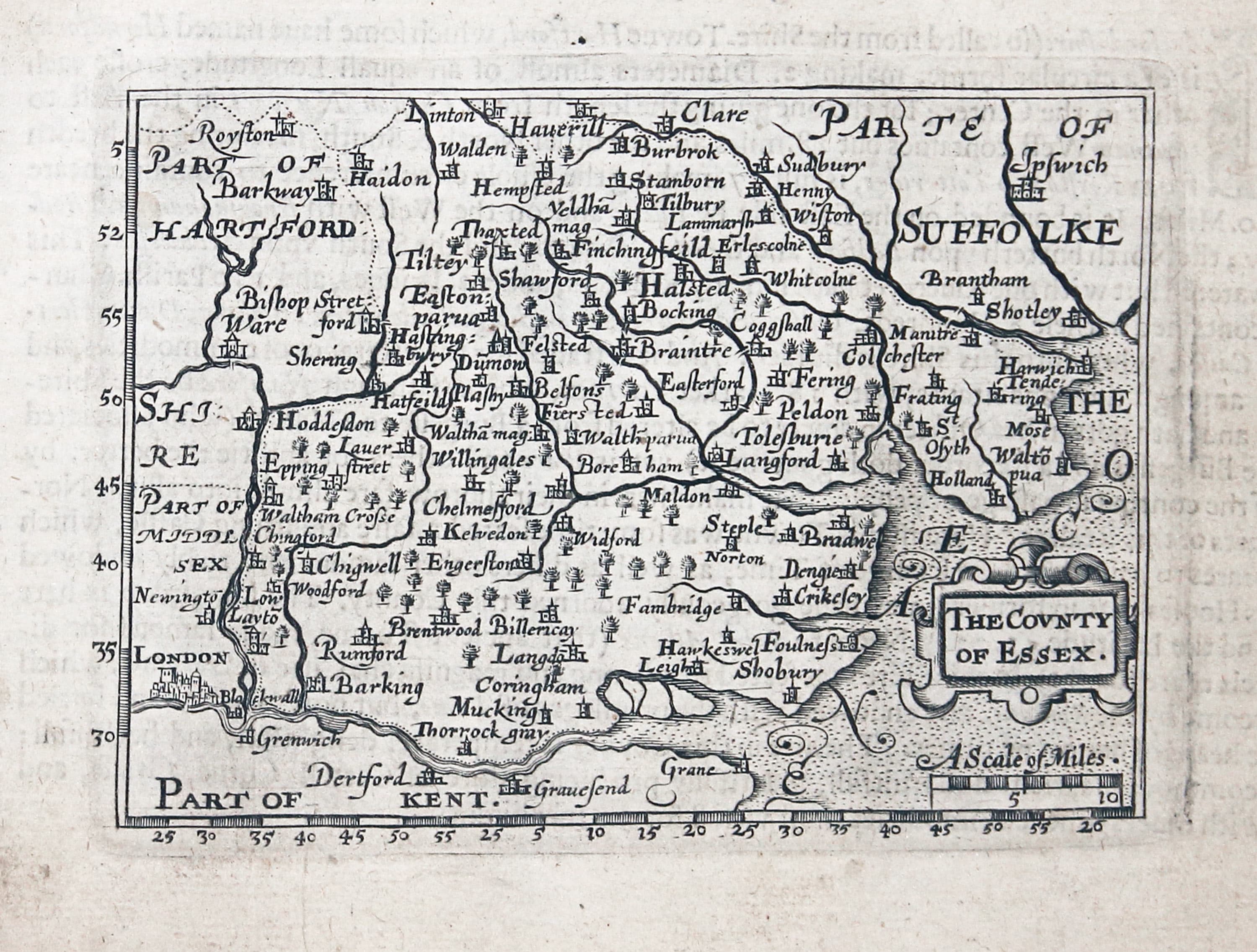
Essex, John Bill 1626
-

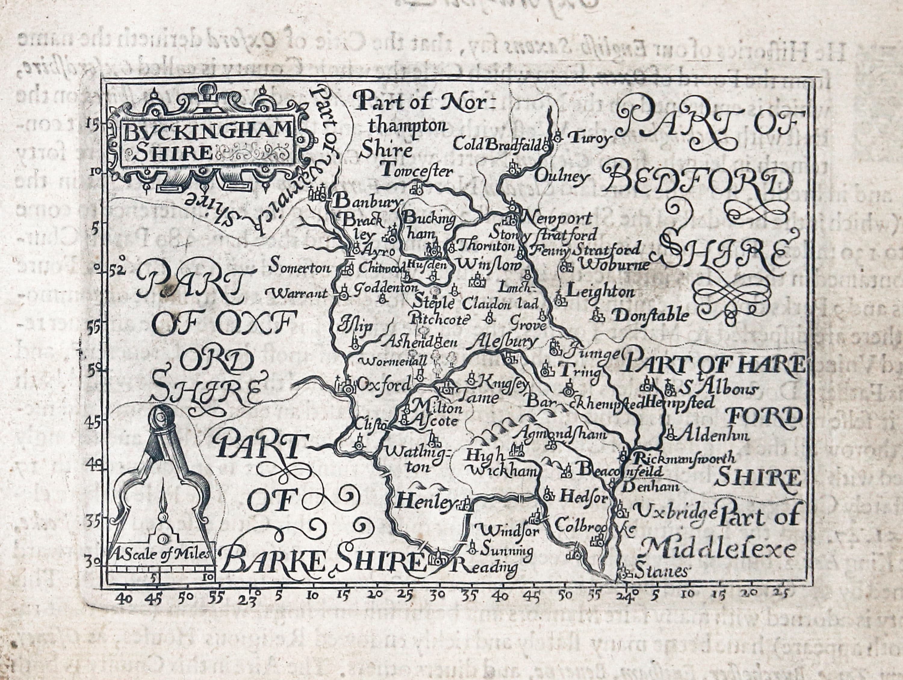
Buckinghamshire, John Bill 1626
-

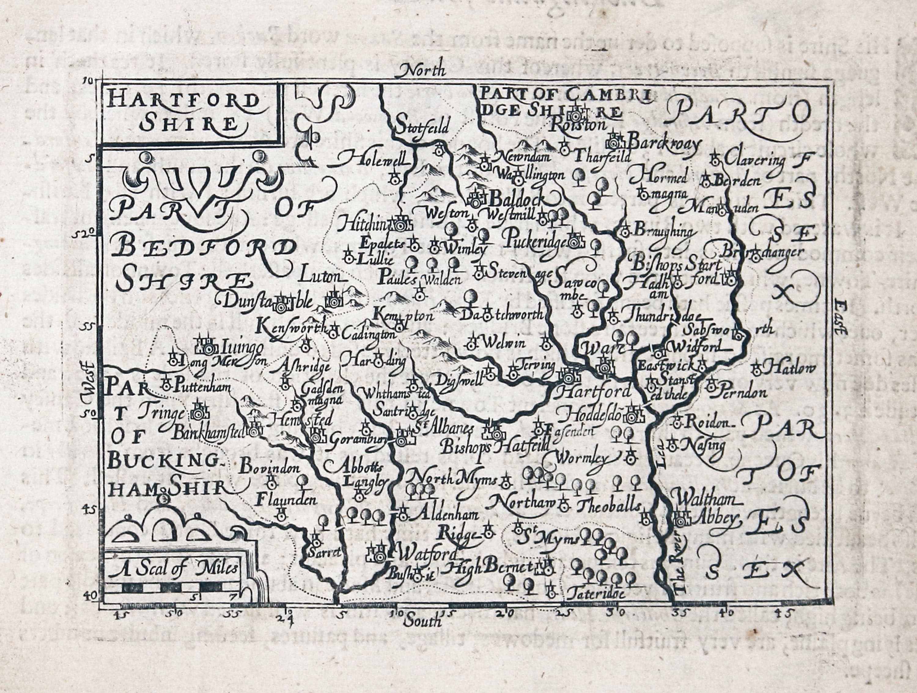
Hertfordshire, John Bill 1626
-

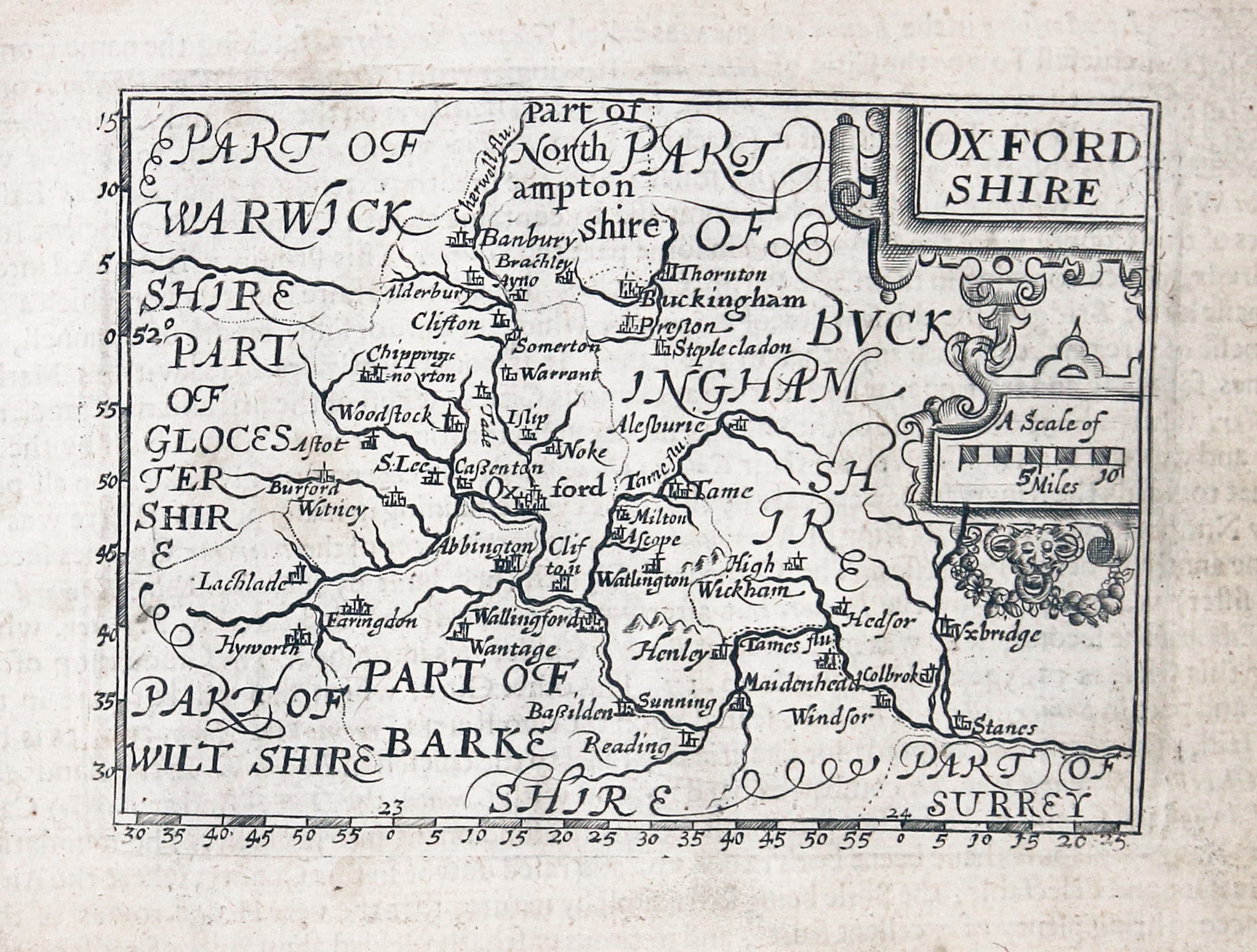
Oxfordshire, John Bill 1626
-

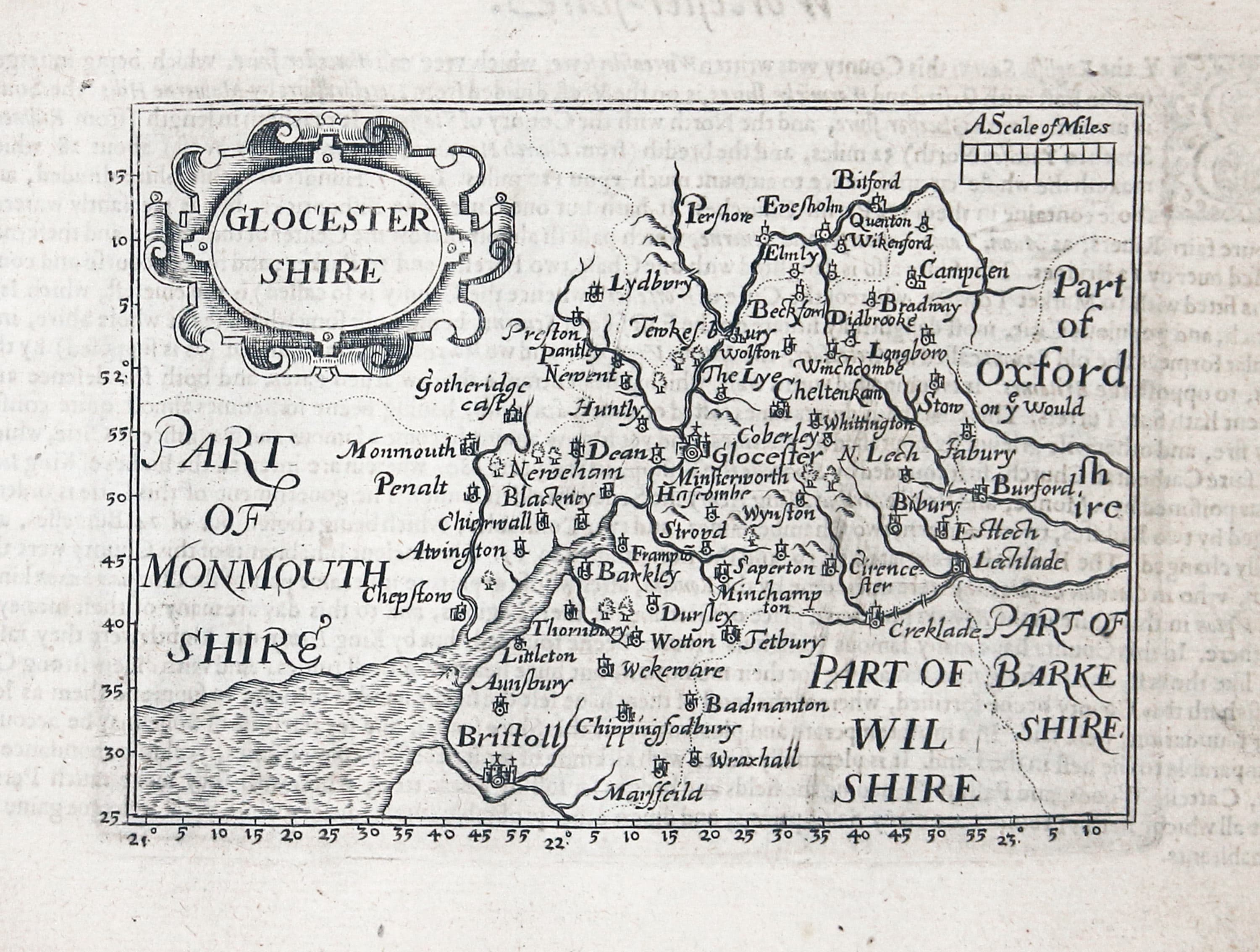
Gloucestershire, John Bill 1626
-
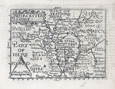
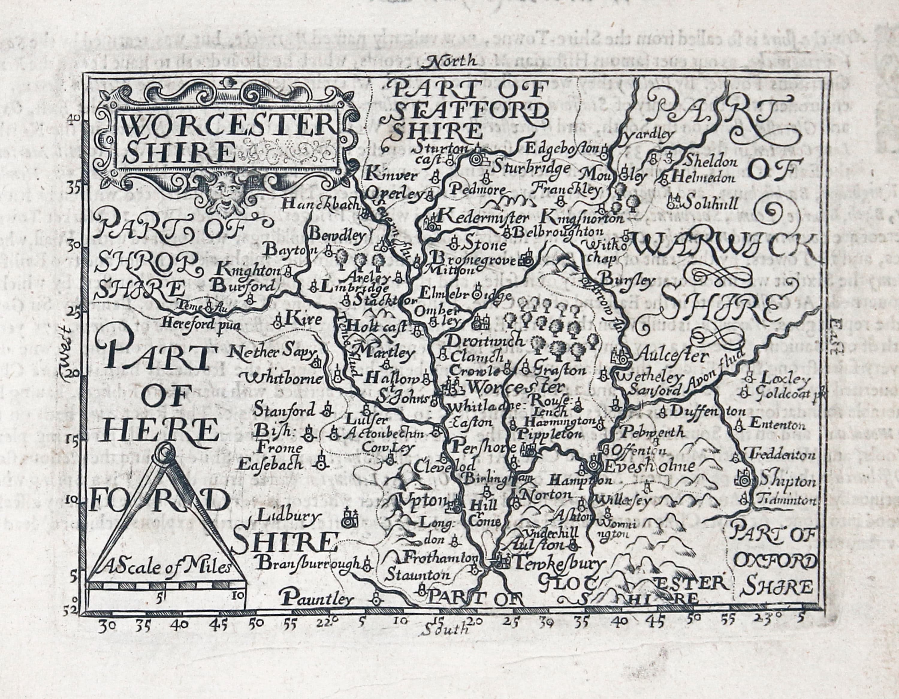
Worcestershire, John Bill 1626
-

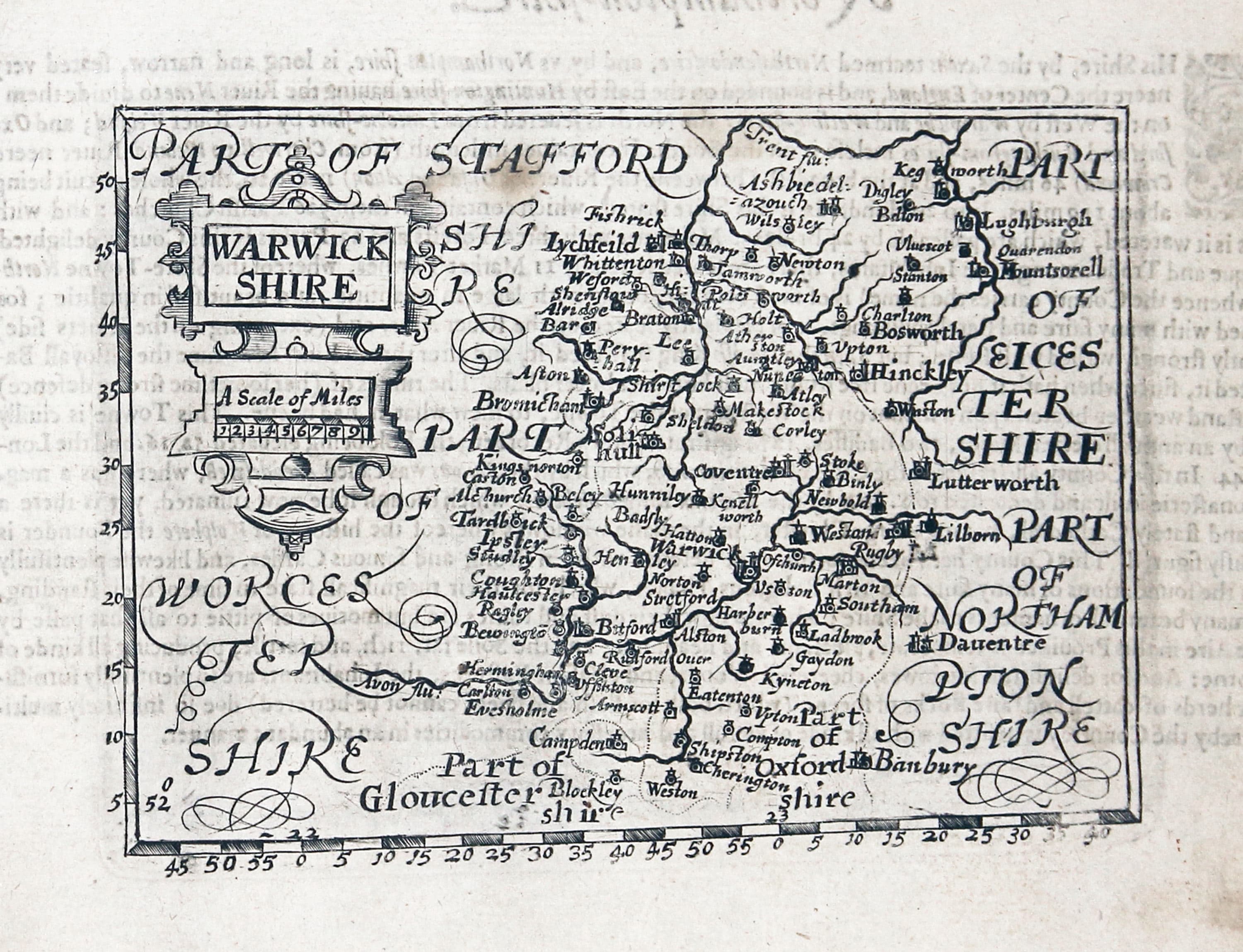
Warwickshire, John Bill 1626
-

Northamptonshire, John Bill 1626
-
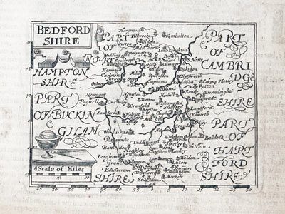
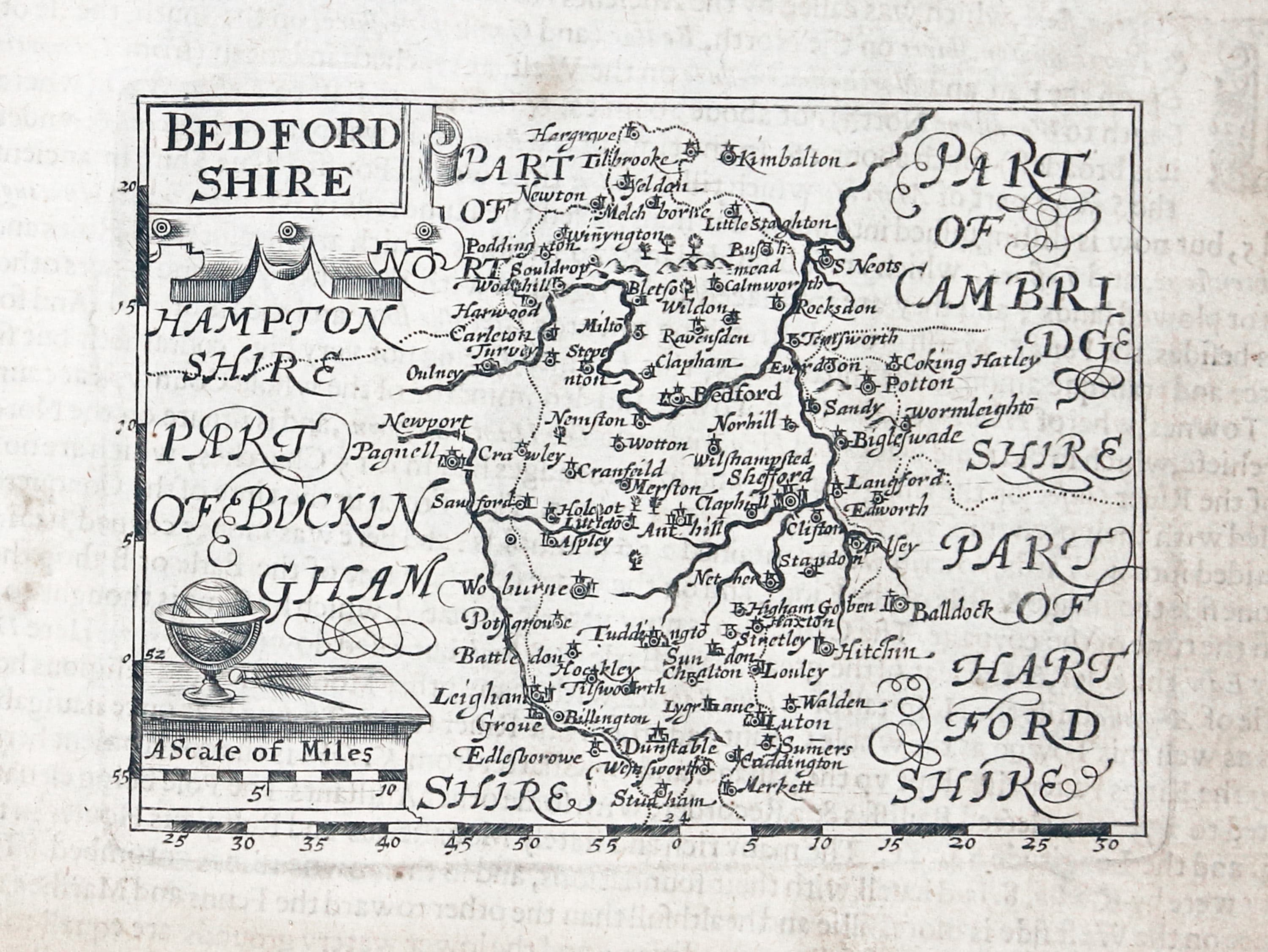
Bedfordshire, John Bill 1626
-
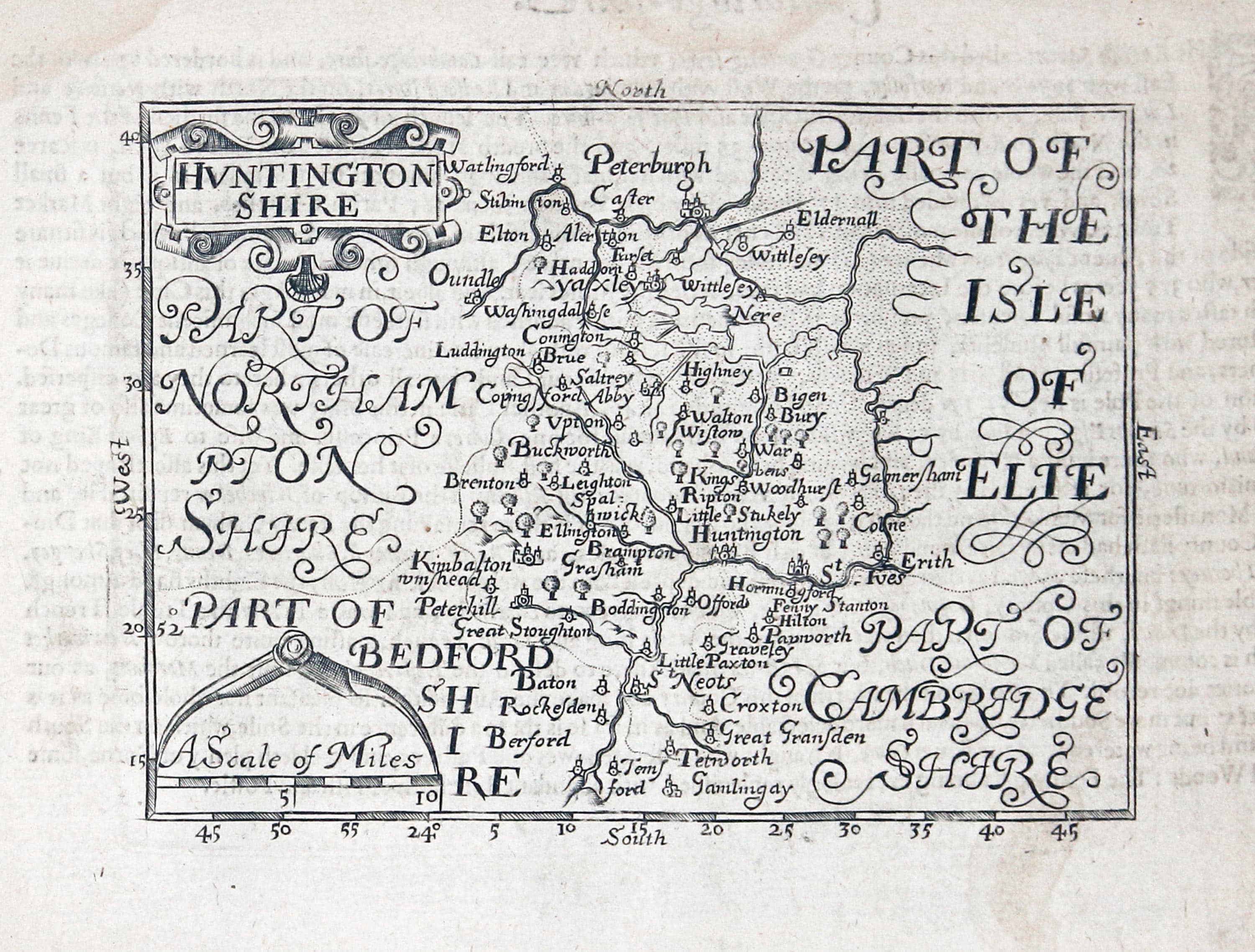
Huntingdonshire, John Bill 1626
-

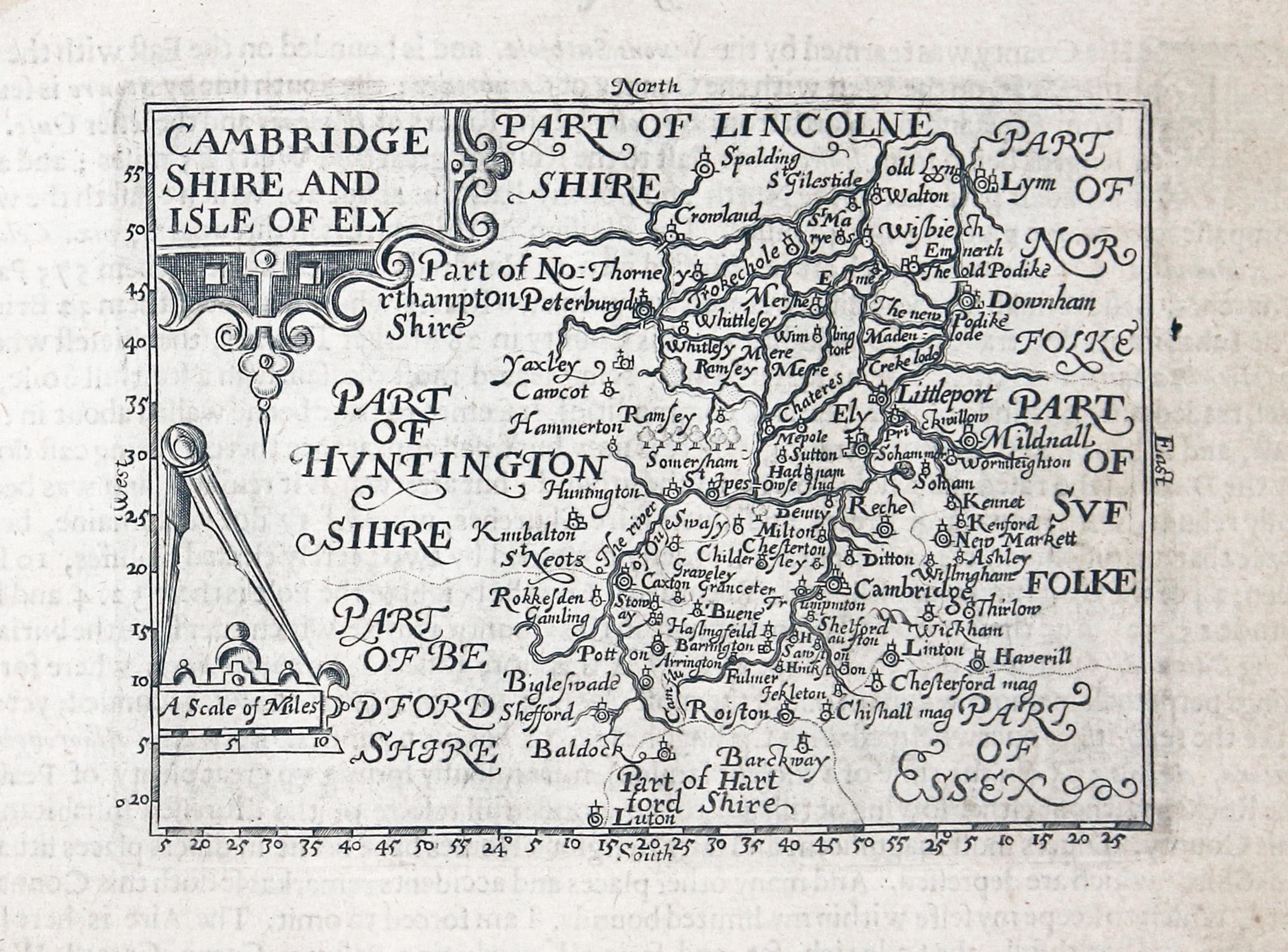
Cambridgeshire and Isle of Ely, John Bill 1626
-
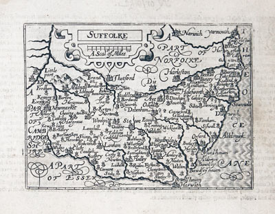
Suffolk, John Bill 1626
-

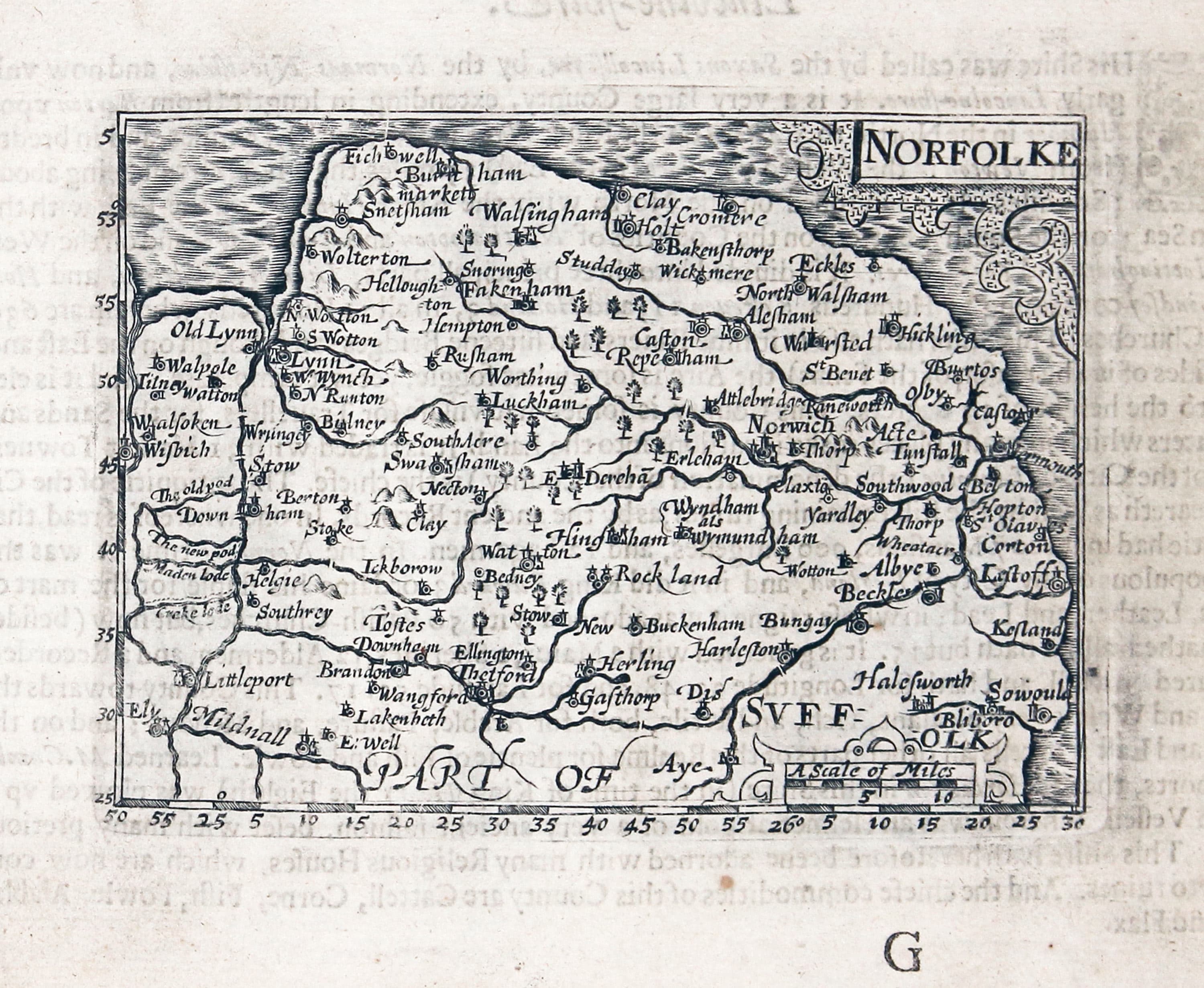
Norfolk, John Bill 1626
-

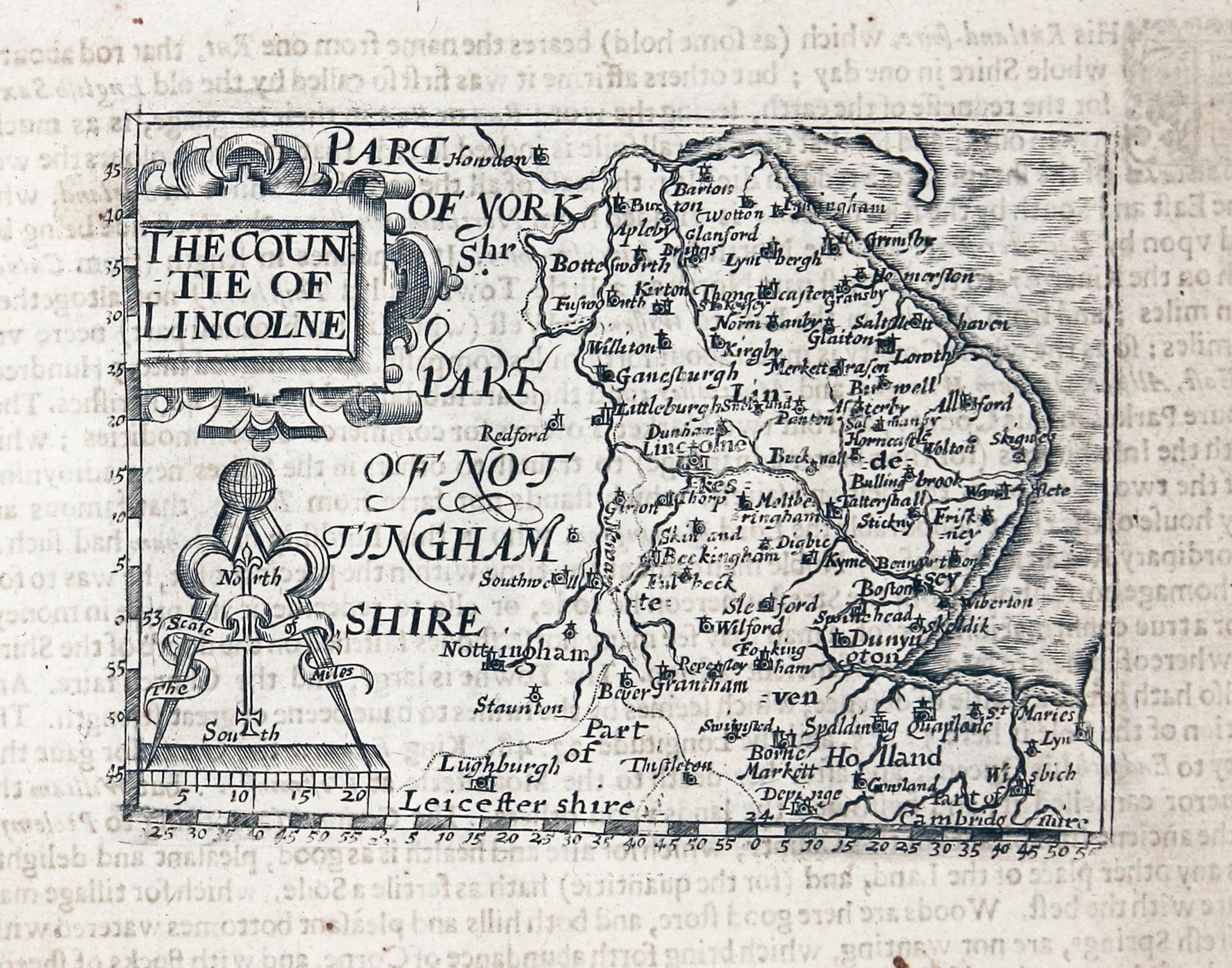
Lincolnshire, John Bill 1626
-

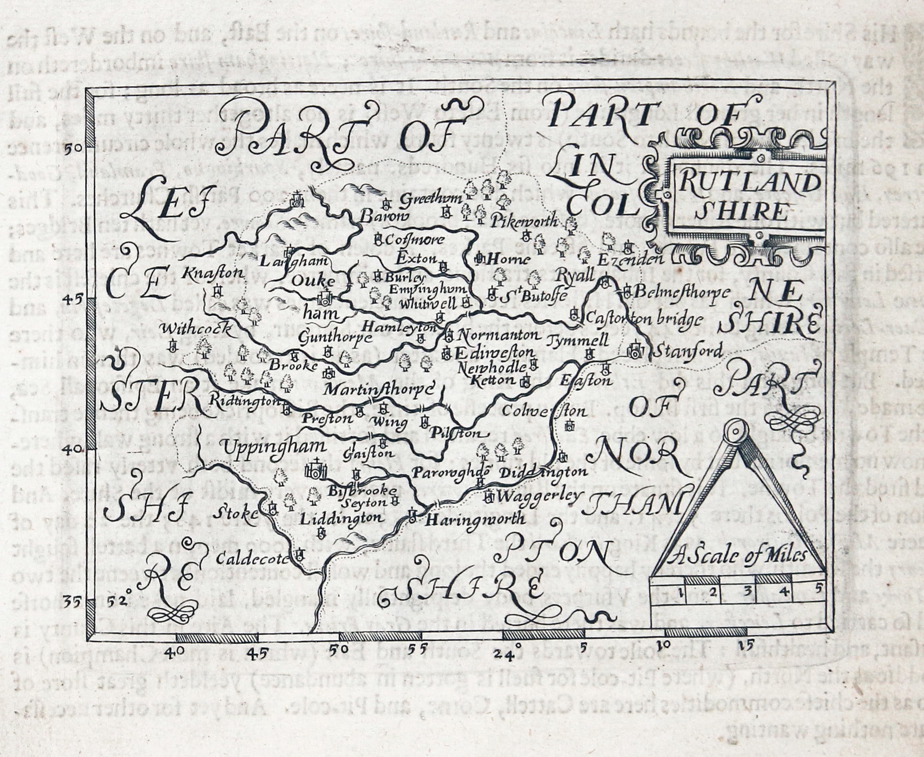
Rutlandshire, John Bill 1626
-
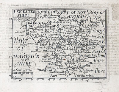
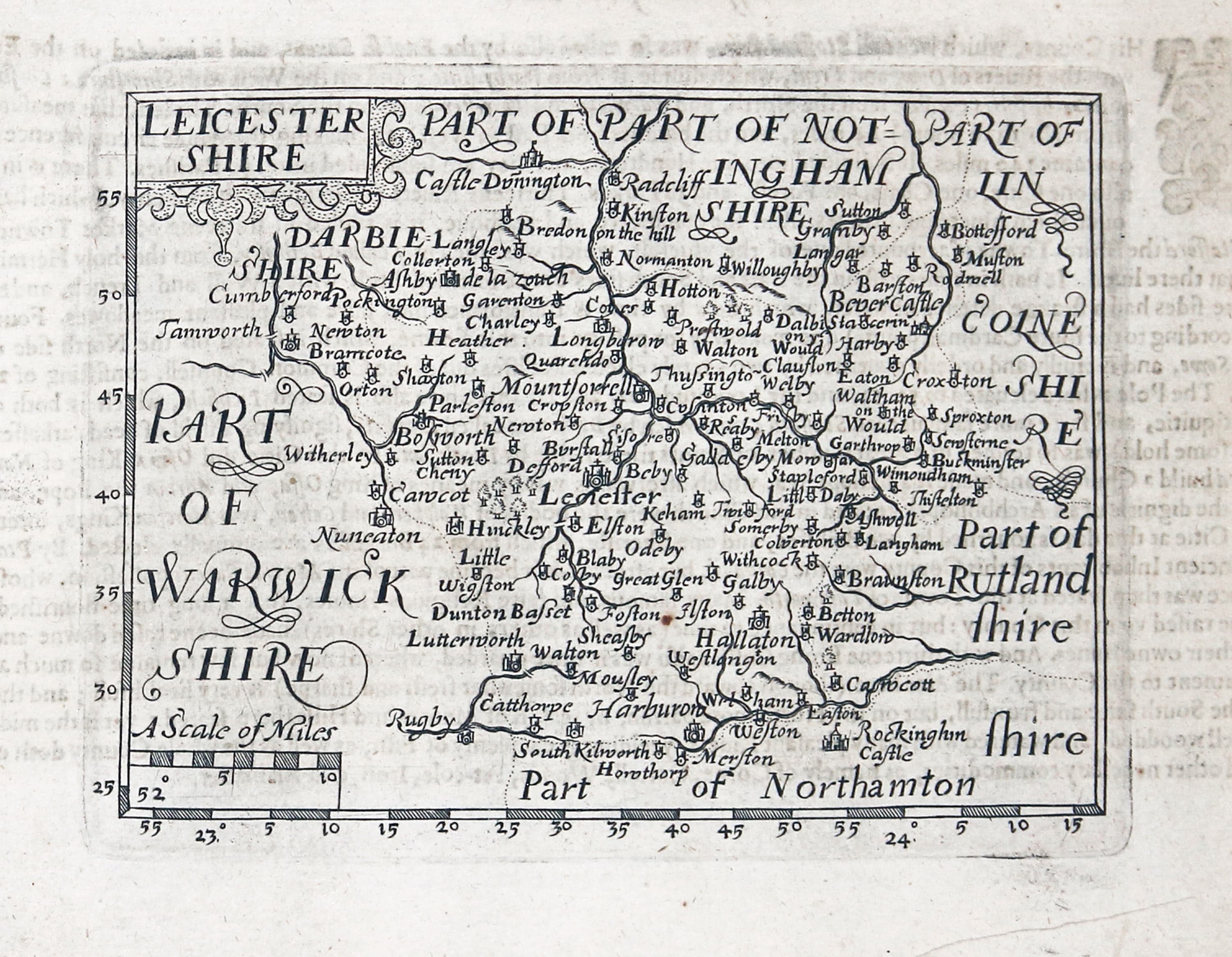
Leicestershire, John Bill 1626
-
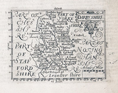
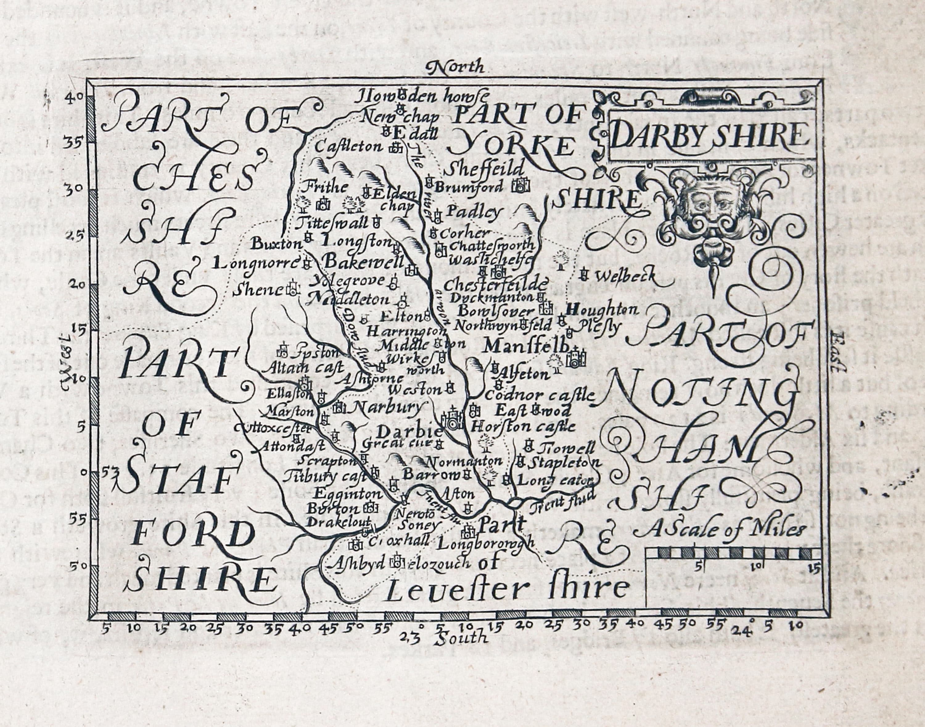
Derbyshire, John Bill
-

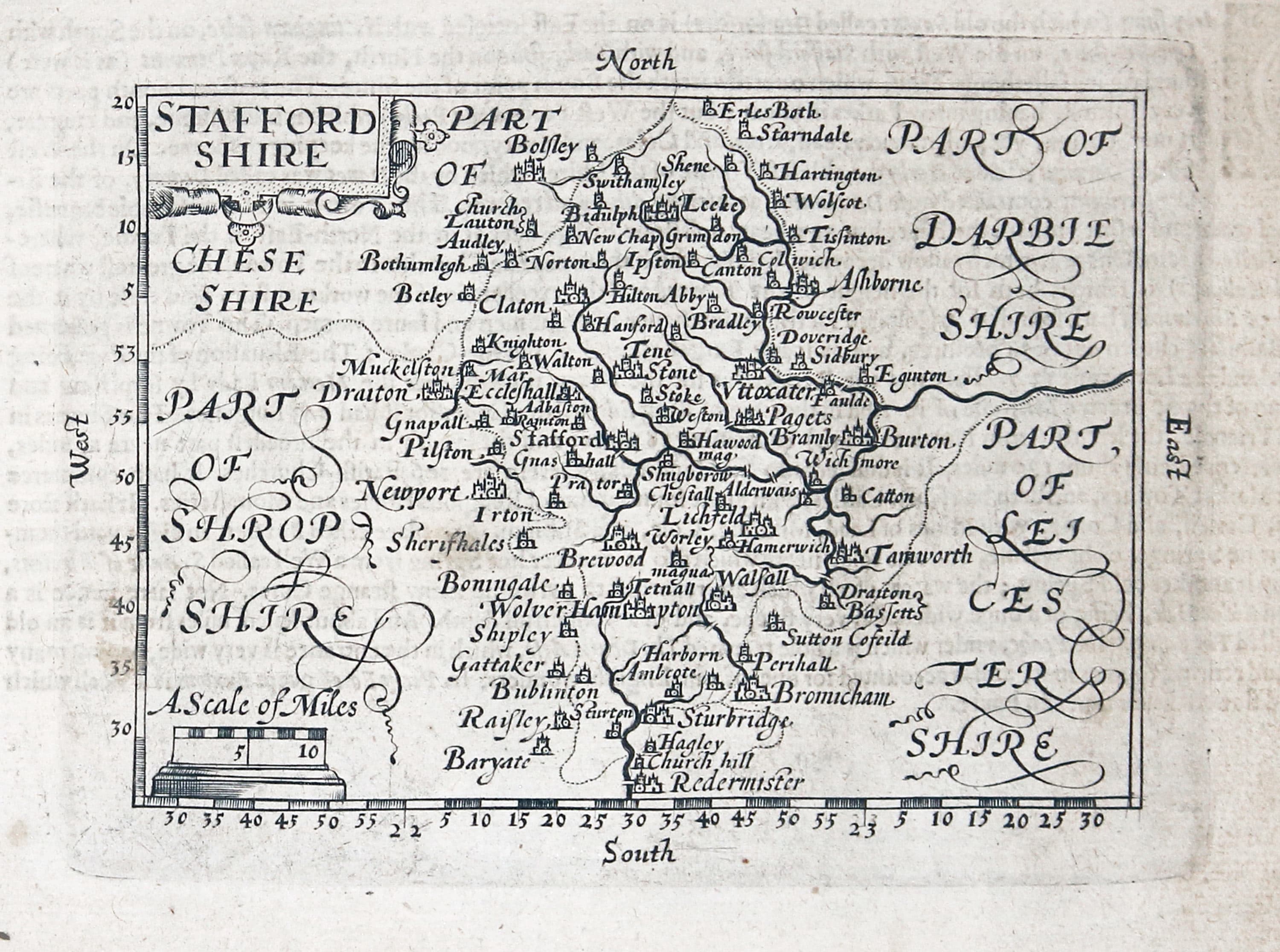
Staffordshire, John Bill 1626
-

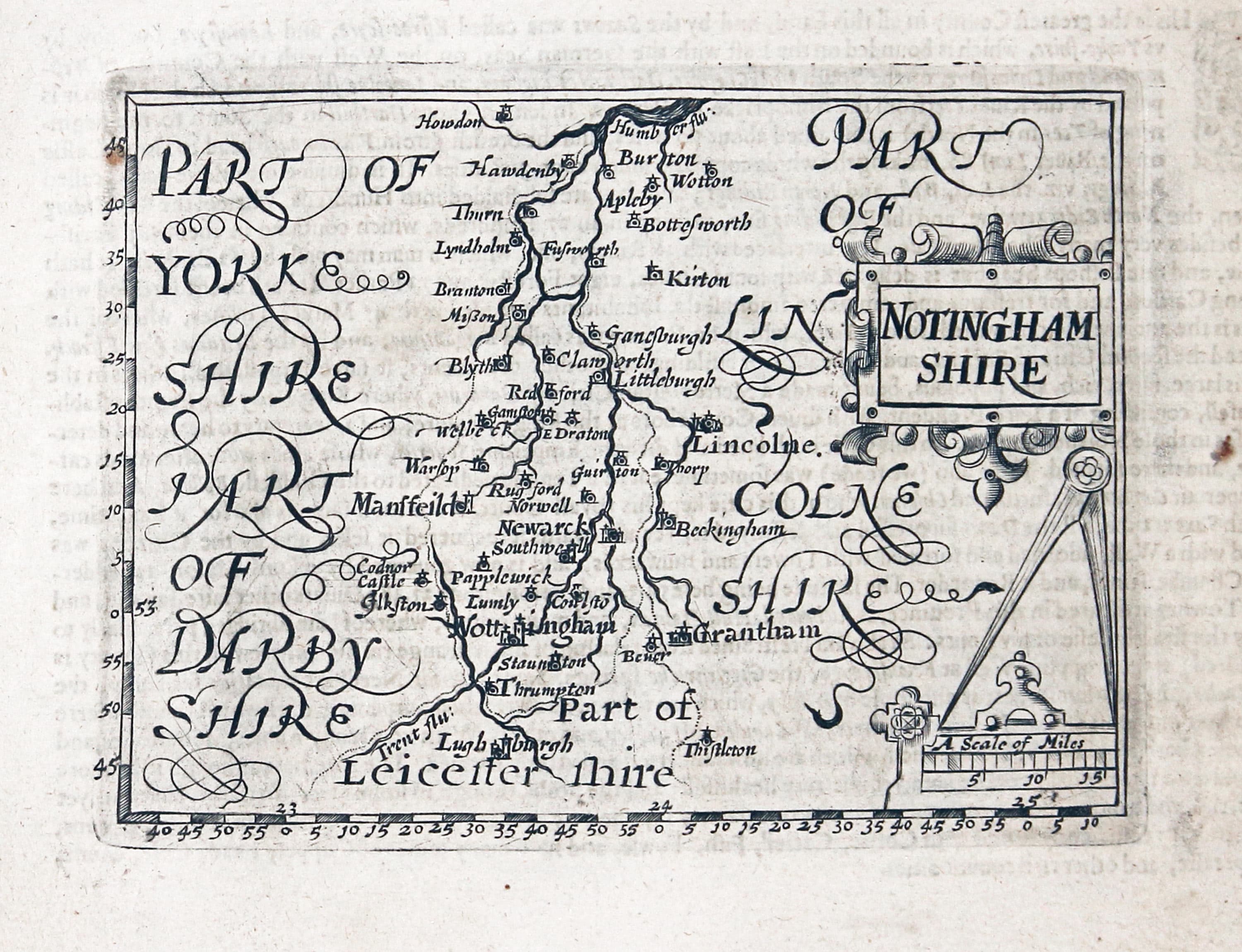
Nottinghamshire, John Bill 1626
-
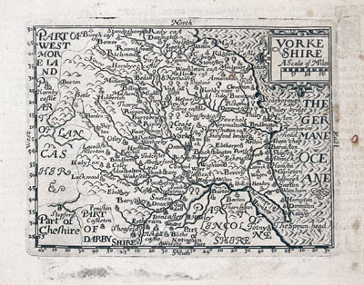
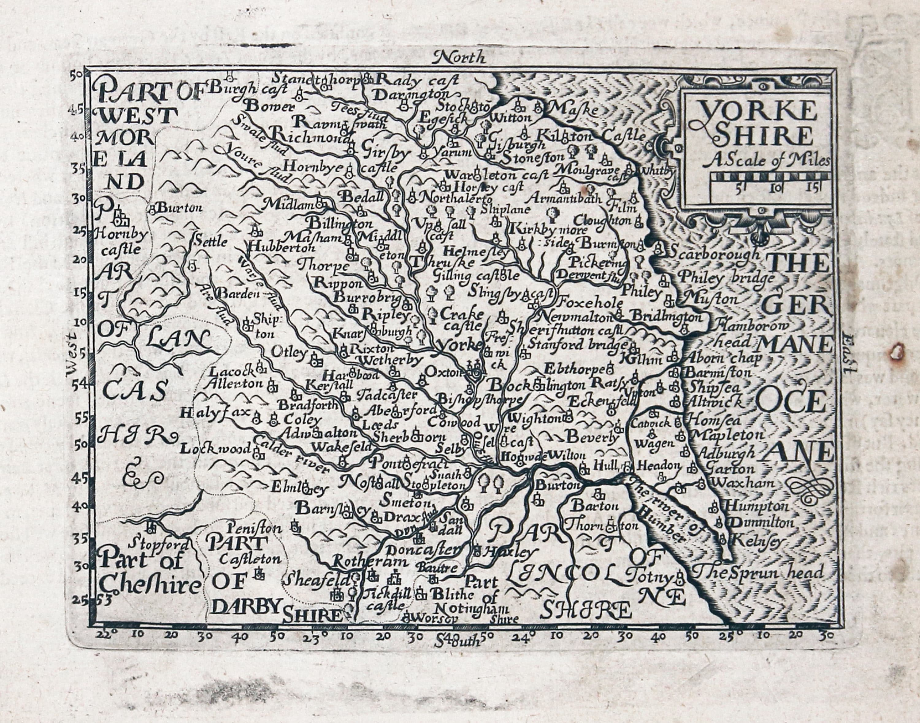
Yorkshire, John Bill 1626
-

County Durham, John Bill 1626
-
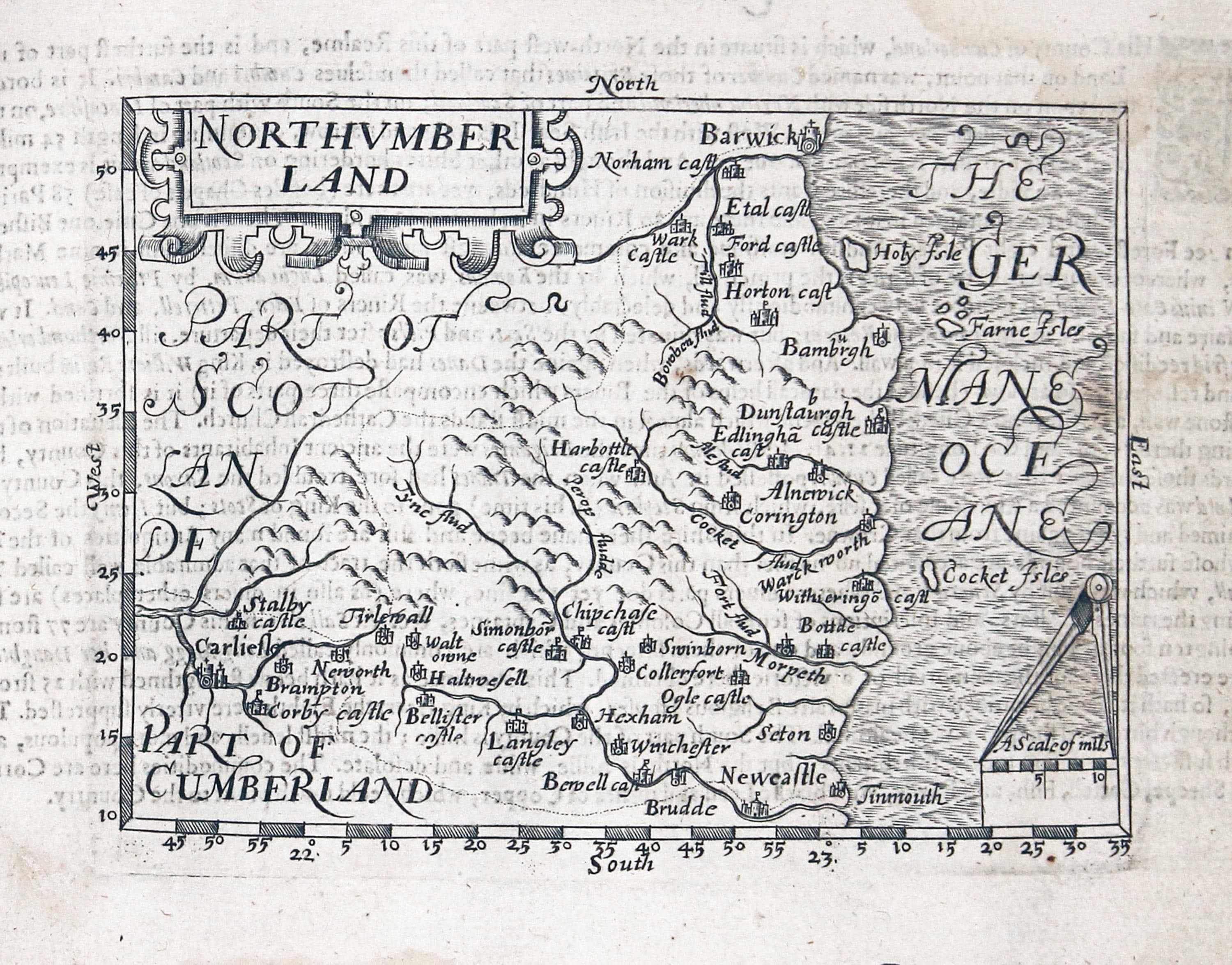
Northuberland, John Bill 1626
-

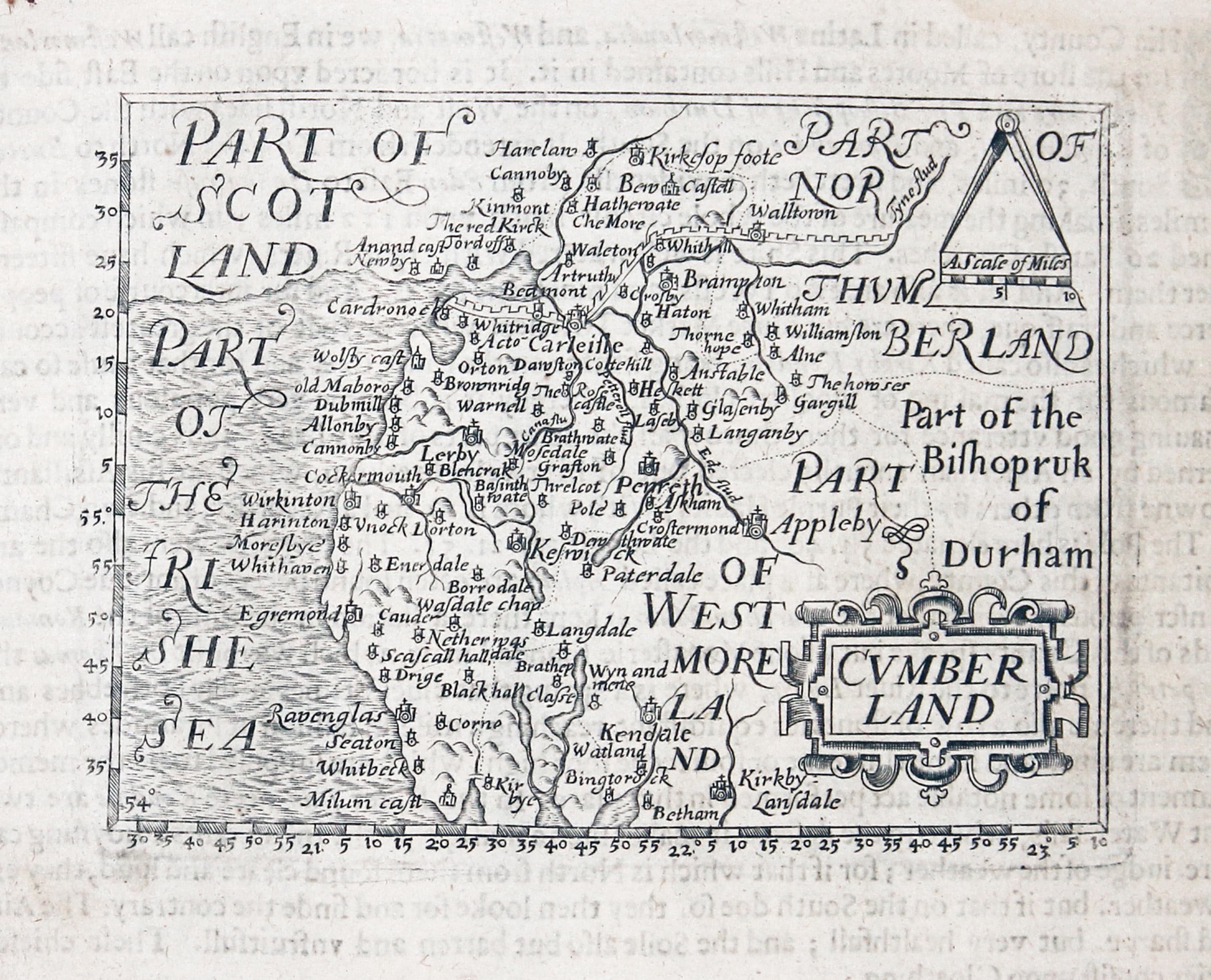
Cumberland, John Bill 1626
-
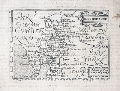
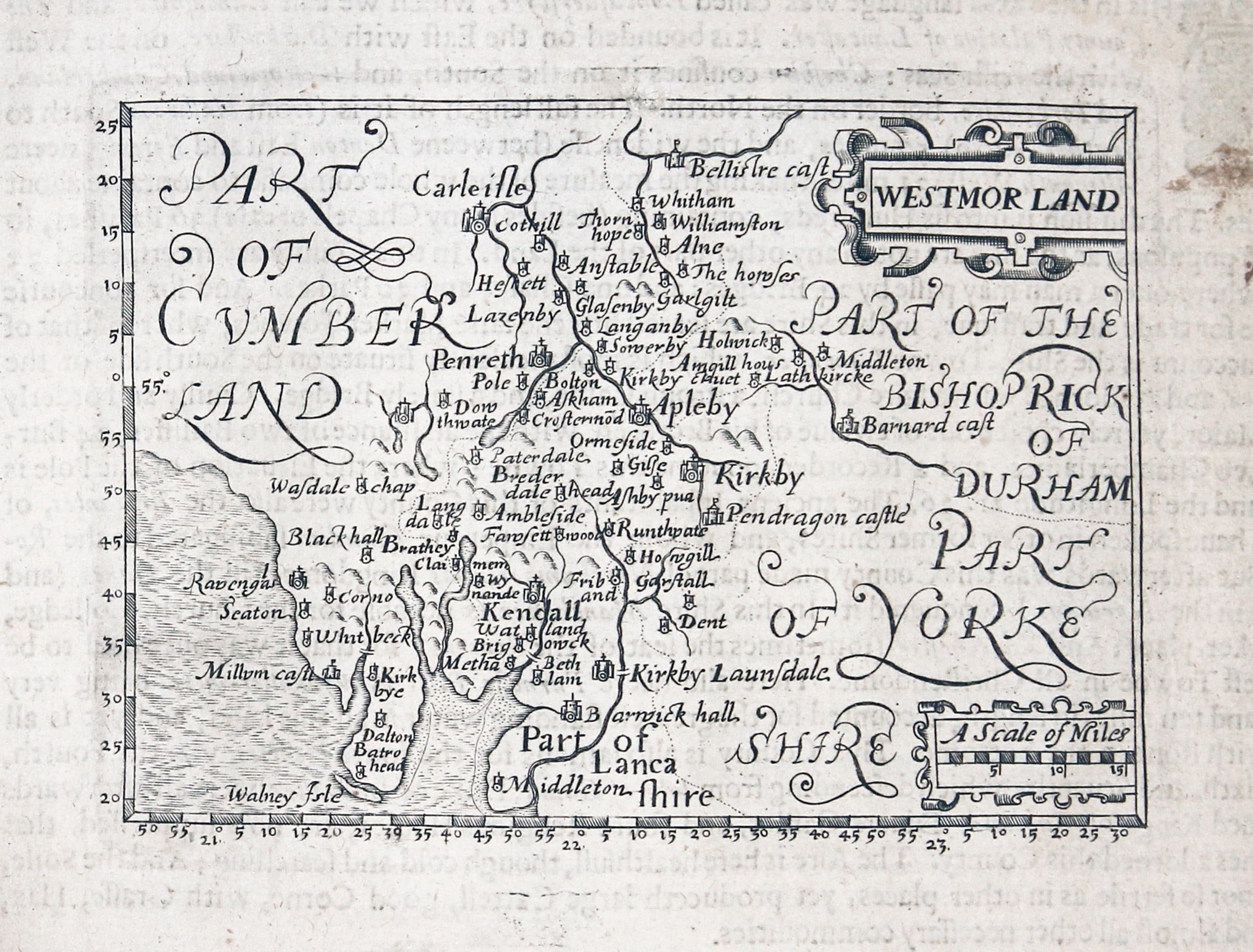
Westmorland, John Bill 1626
-

Lancashire, John Bill 1626
-

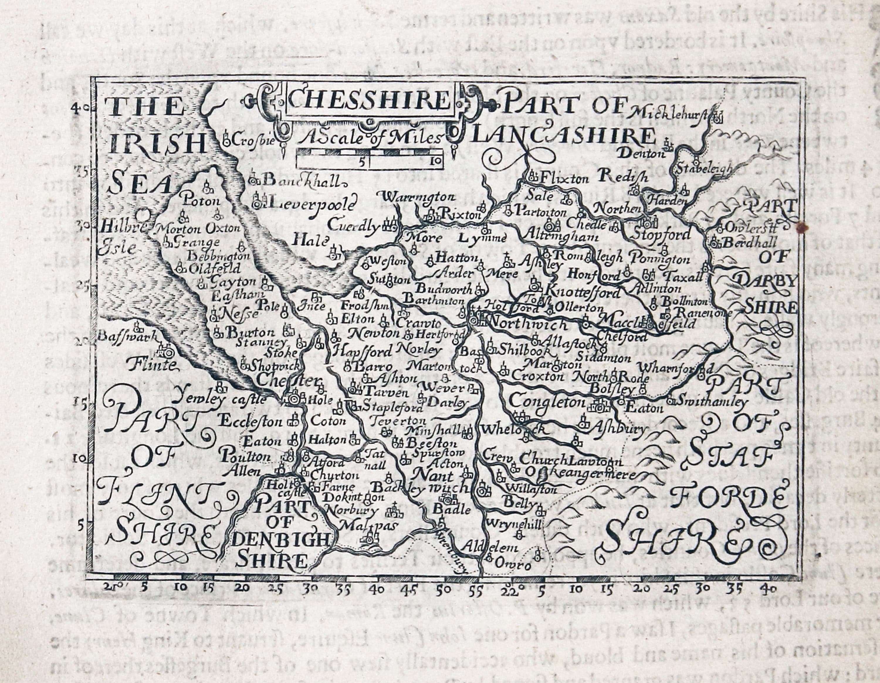
Cheshire, John Bill 1626
-
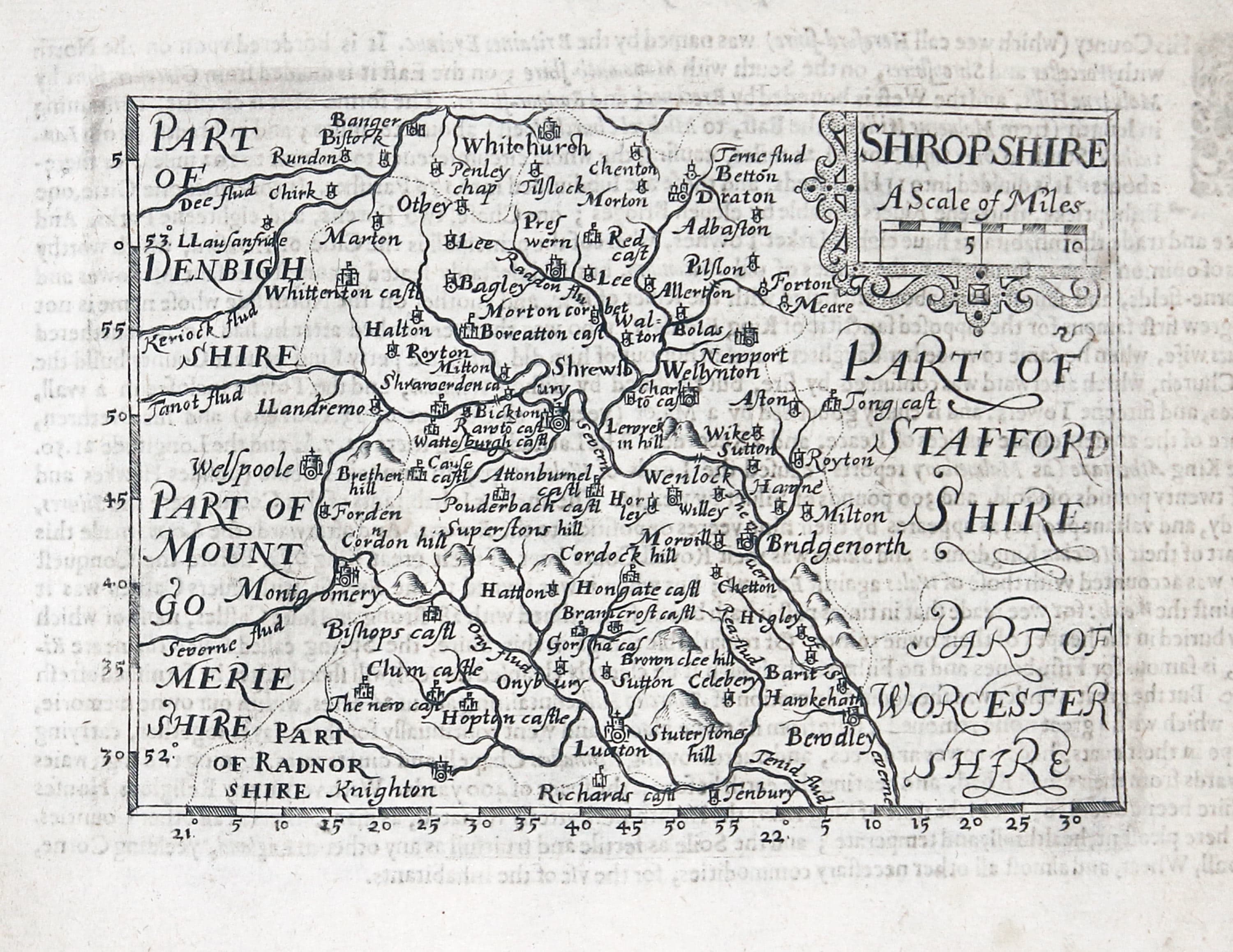
Shropshire, John Bill 1626
-

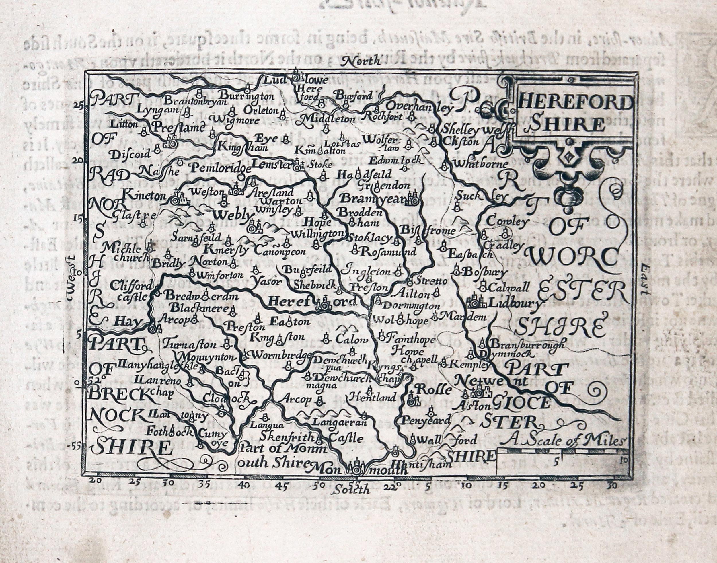
Herefordshire, John Bill 1626
The Welsh Counties
in the order that they appear in the atlas
-

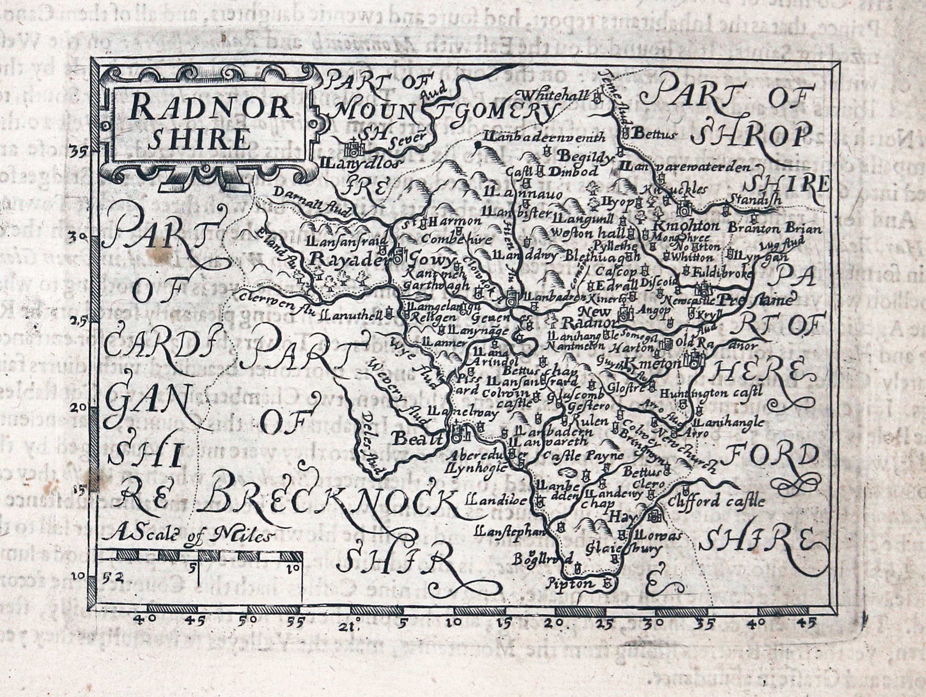
Radnorshire, John Bill 1626
-

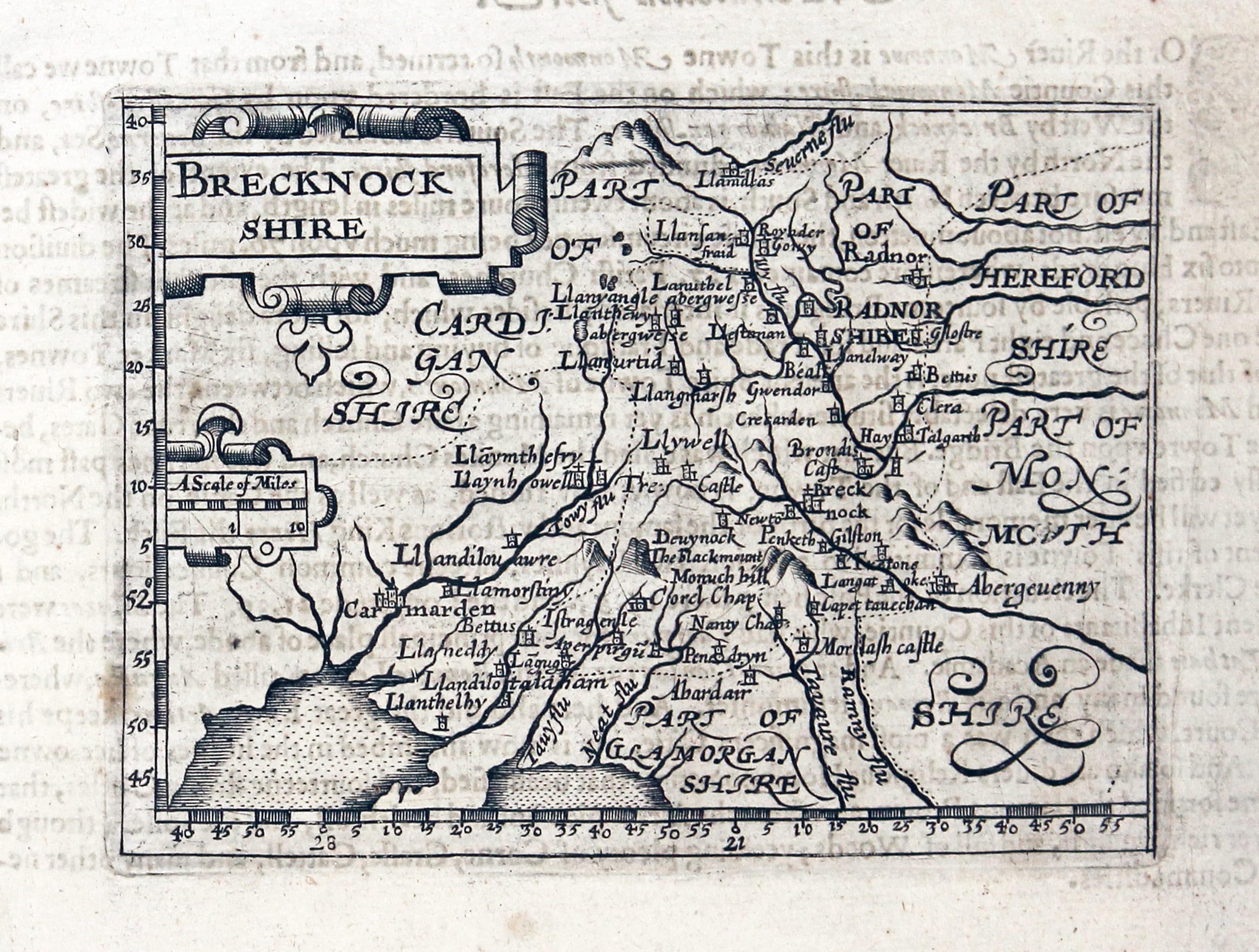
Breconshire, John Bill 1626
-

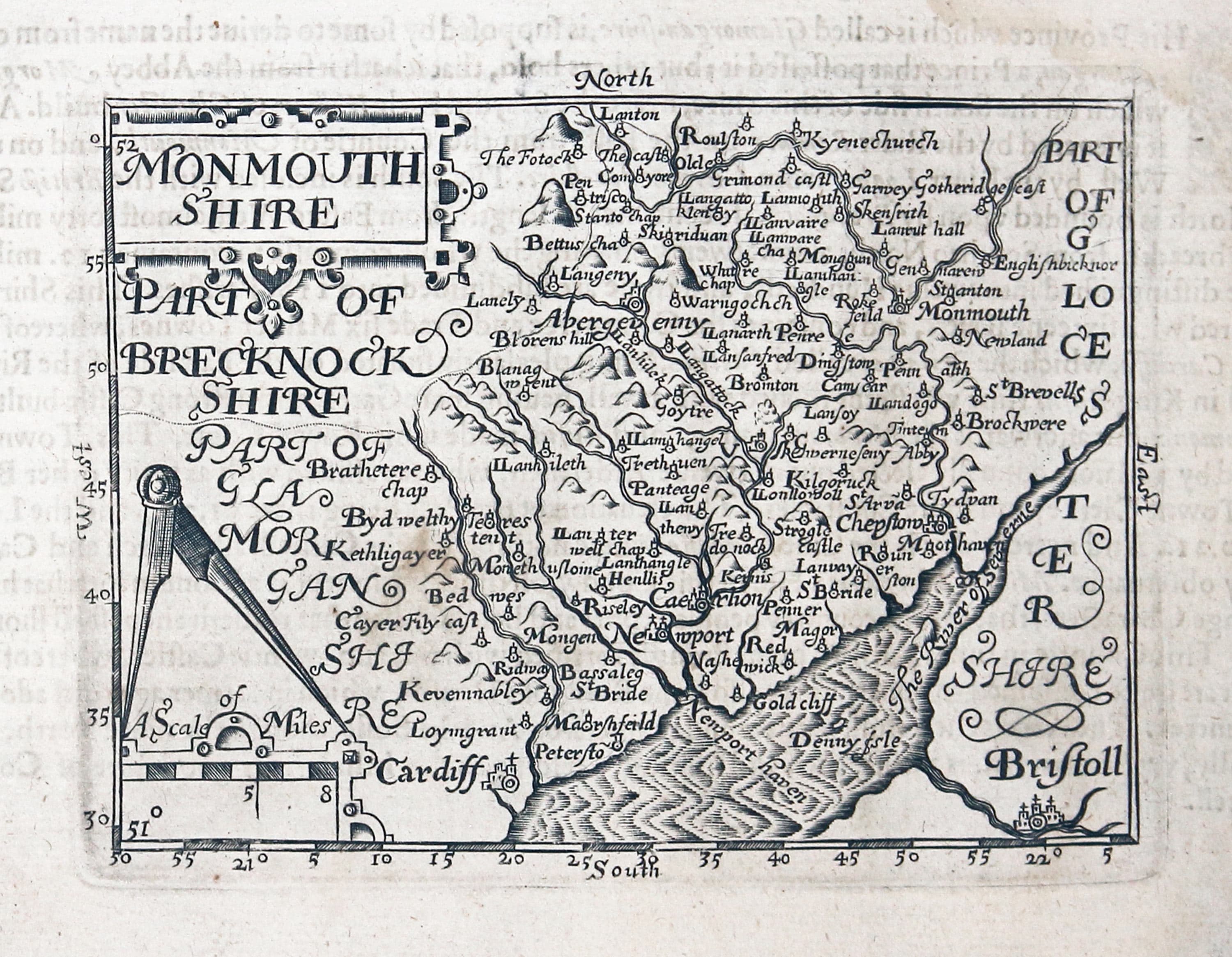
Monmouthshire, John Bill 1626
-

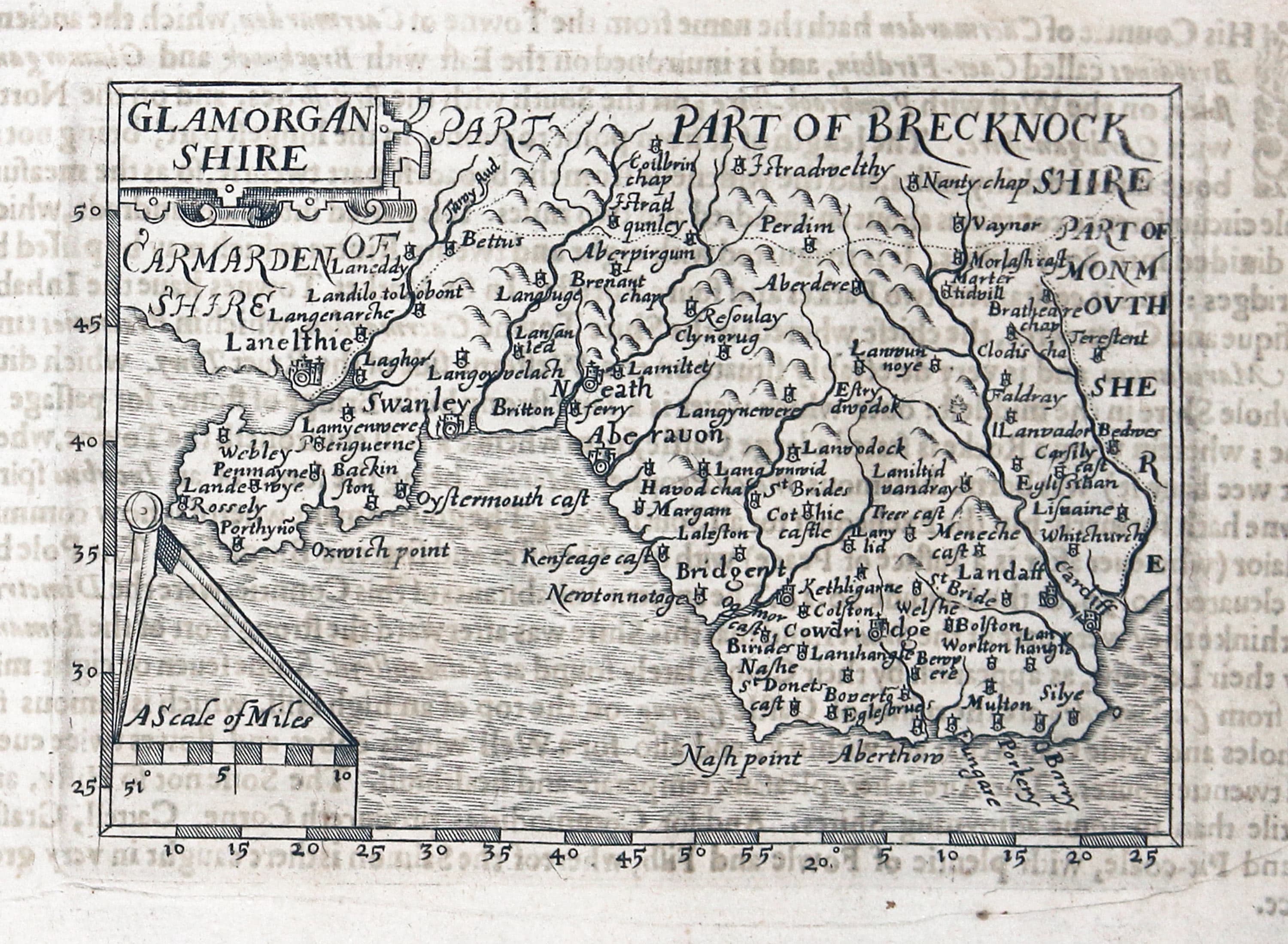
Glamorganshire, John Bill 1626
-

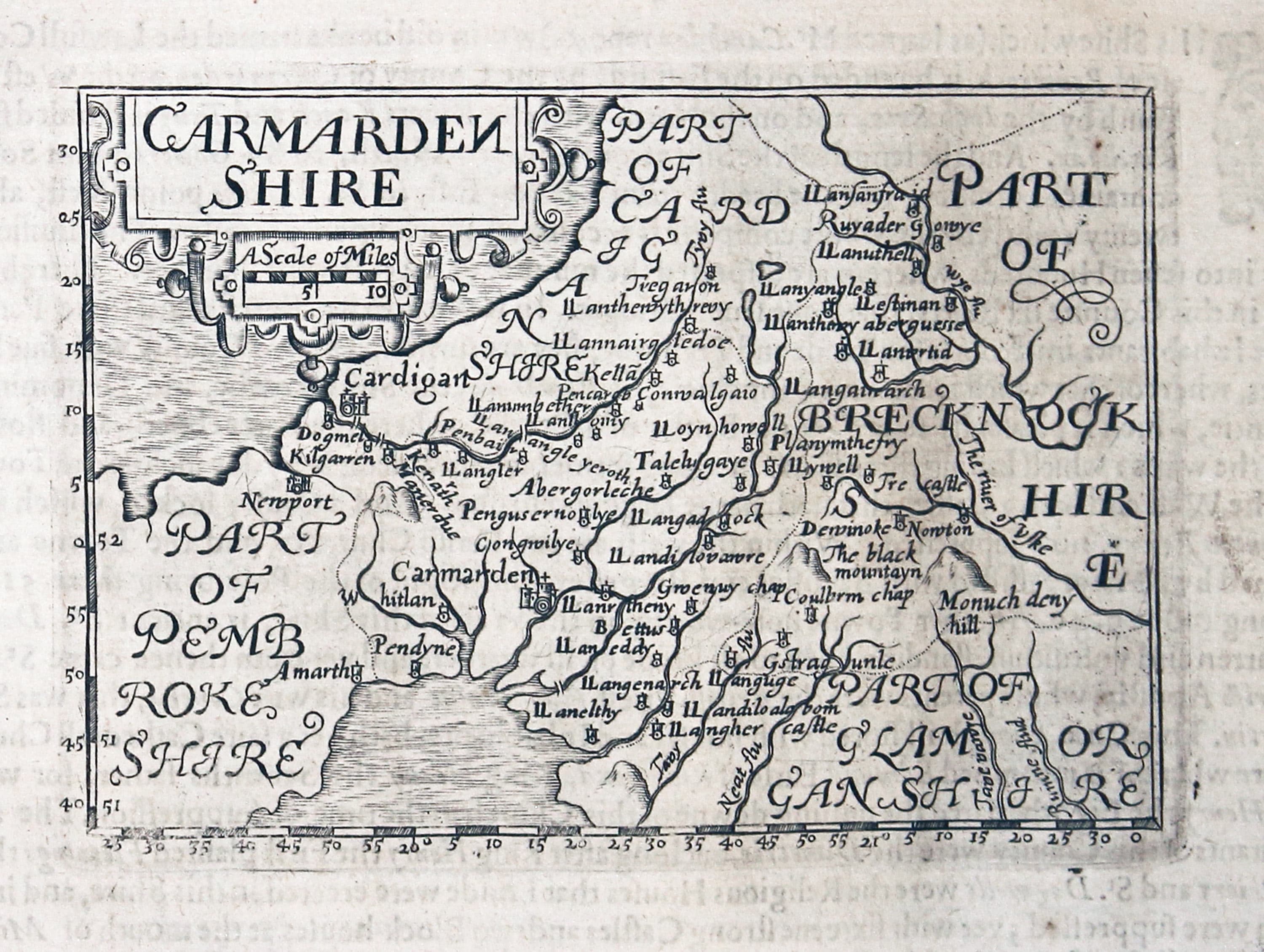
Carmarthenshire, John Bill 1626
-

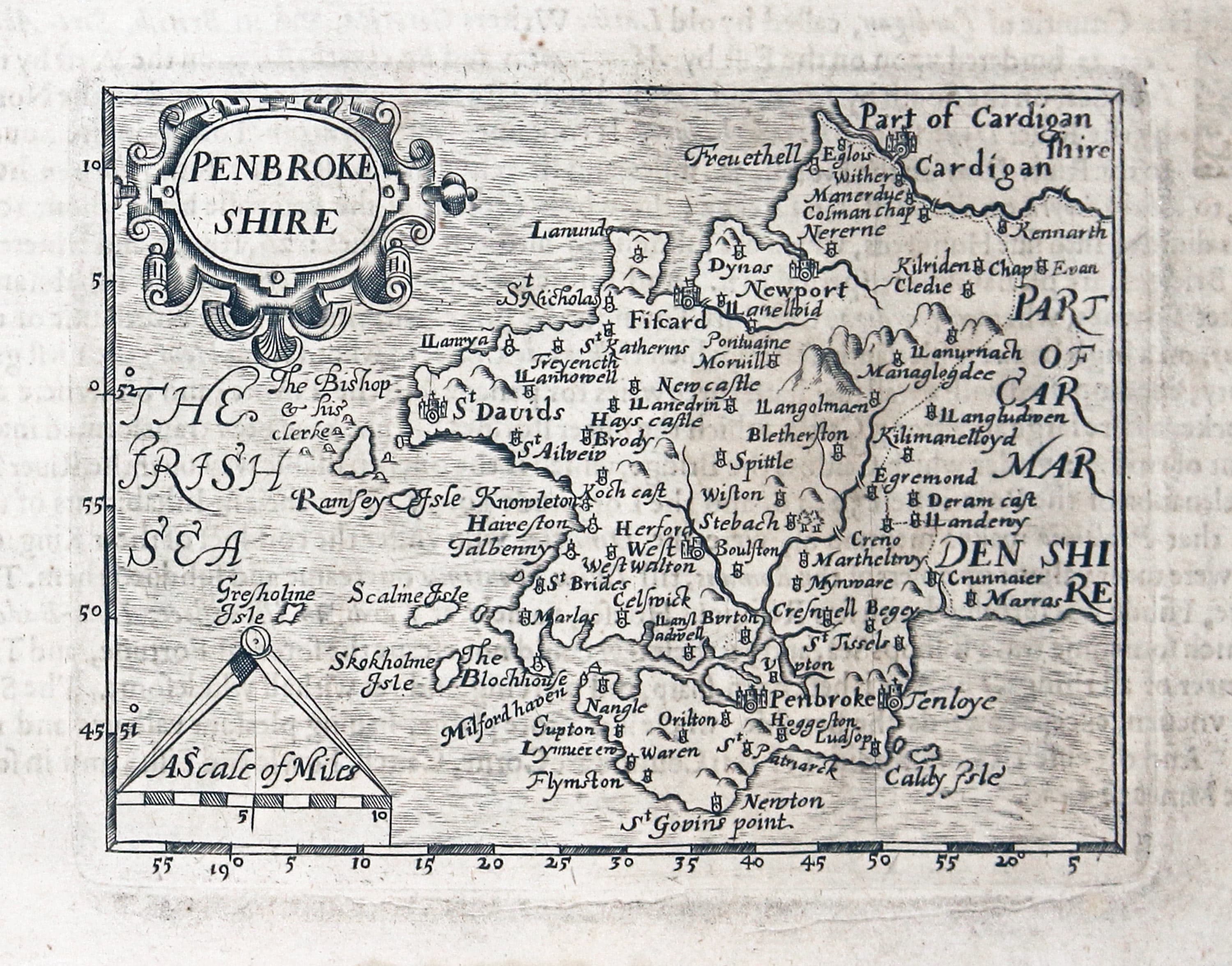
Pembrokeshire, John Bill 1626
-

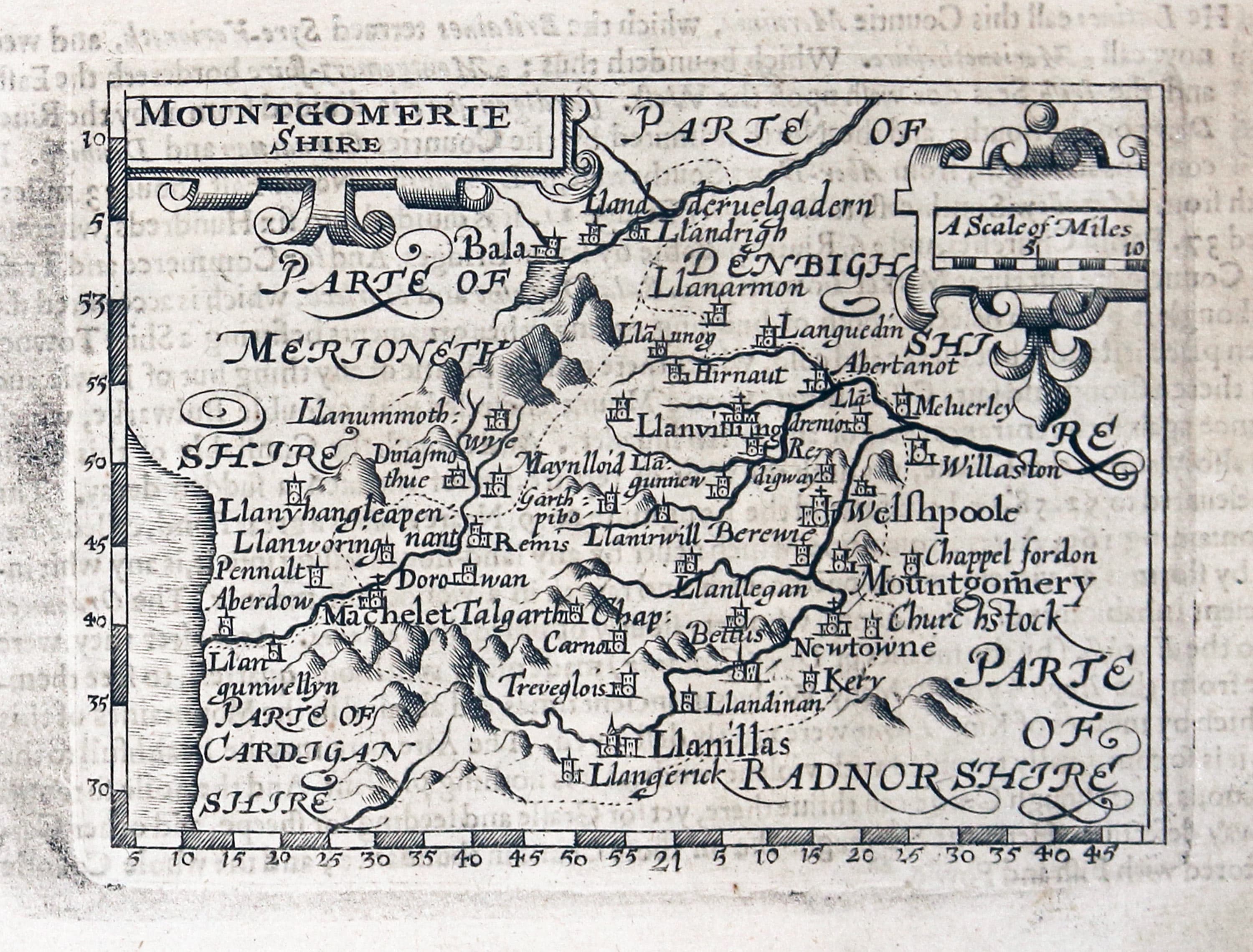
Montgomeryshire, John Bill 1626
-

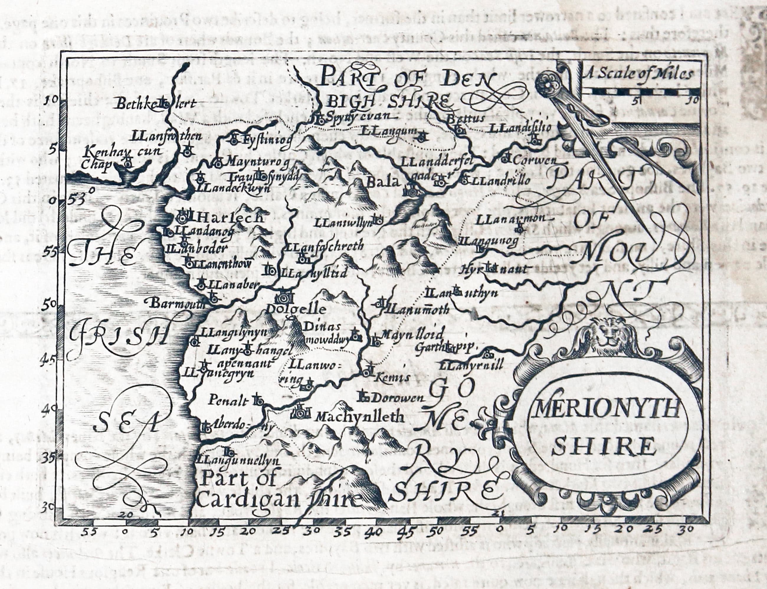
Merionethshire, John Bill 1626
-

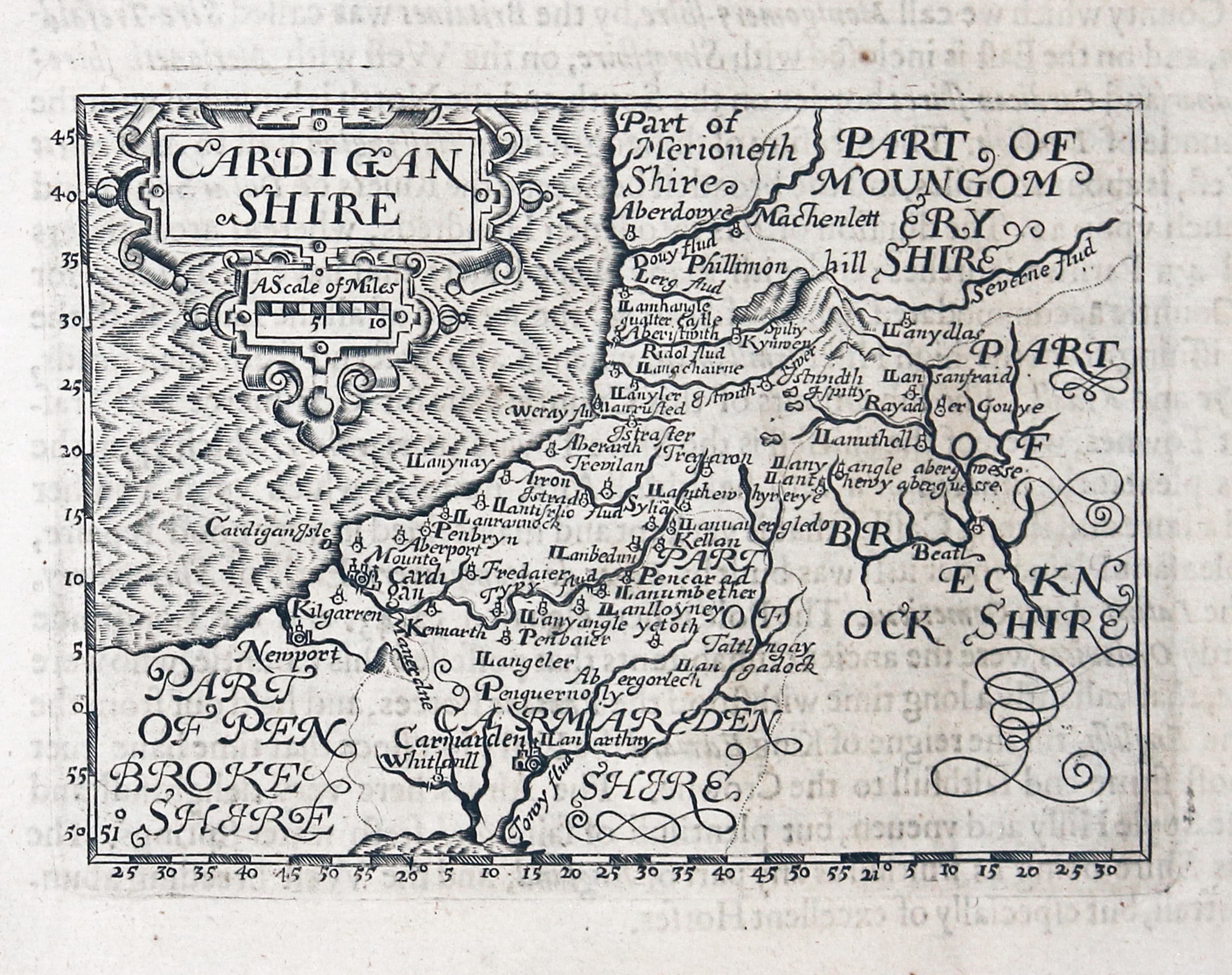
Cardiganshire, John Bill 1626
-
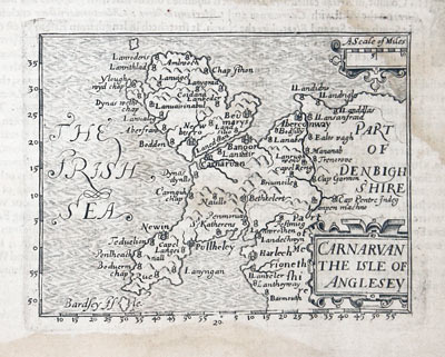
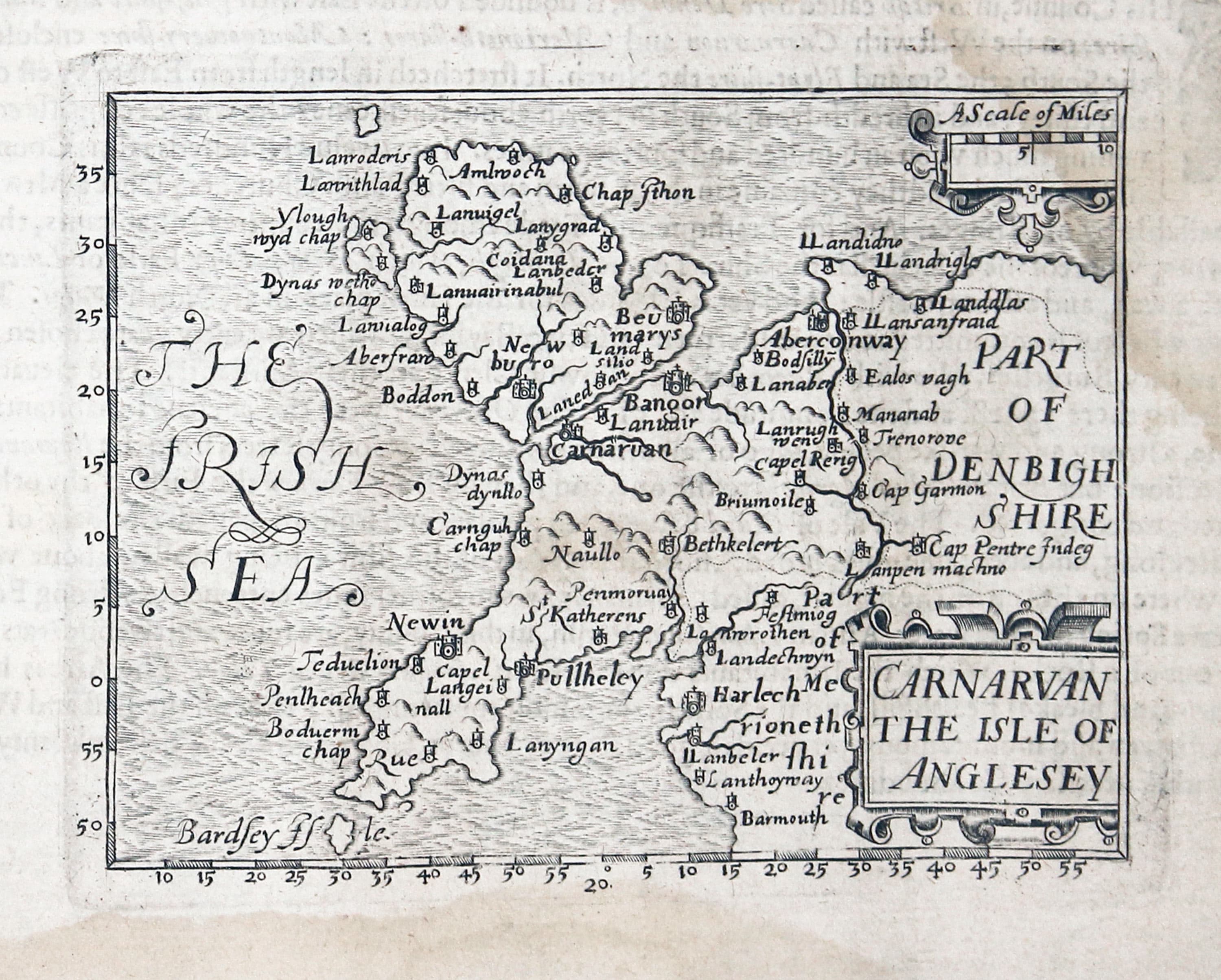
Caernarvonshire and Anglesey, John Bill 1626
-

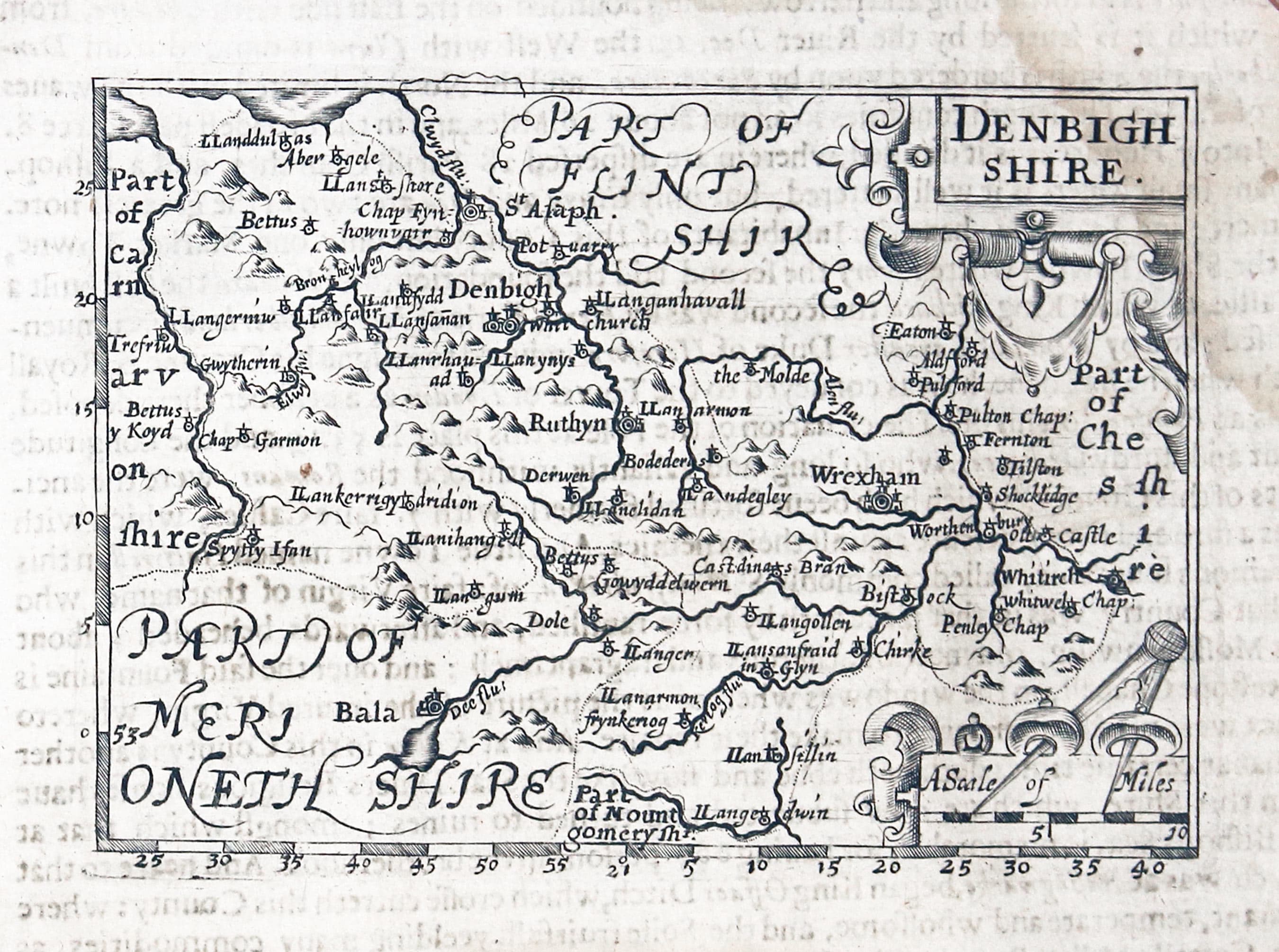
Denbighshire, John Bill 1626
-

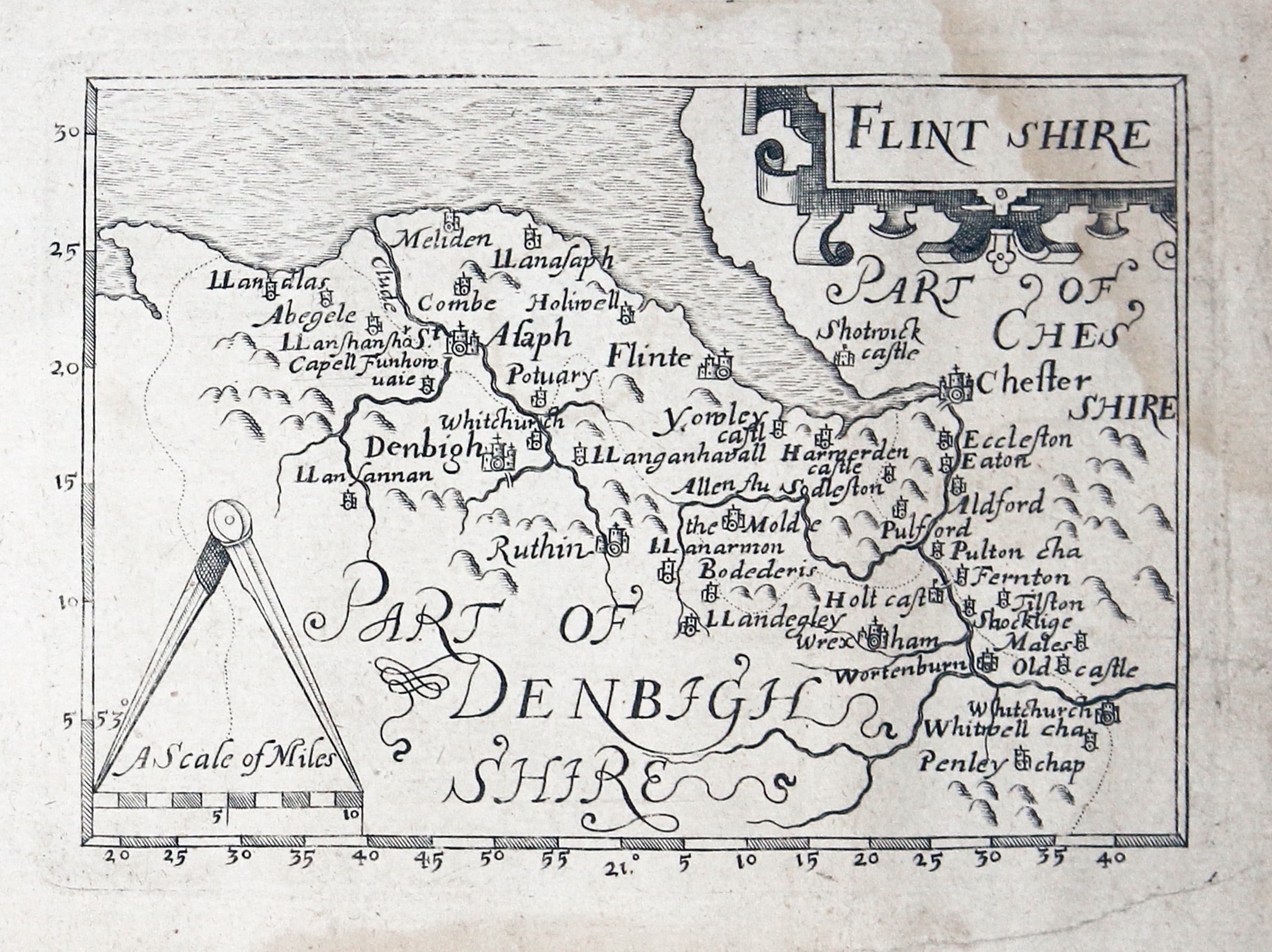
Flintshire, John Bill 1626
List of Maps in the Atlas
- Cornwall
- Devon - Shire
- Dorset Shire
- Somerset Shire
- Wilt Shire
- Hant Shire
- Barke Shire
- Surrey
- Sussex
- Kent
- Middlesex
- The County of Essex
- Hartford Shire
- Oxford Shire
- Buckingham Shire
- Gloucester Shire
- Worcester Shire
- Warwick Shire
- Northampton Shire
- Bedford Shire
- Huntingdon Shire
- Cambridge Shire and Isle of Ely
- Suffolke
- Norfolke
- The Countie of Lincoln
- Rutland Shire
- Leicester Shire
- Stafford Shire
- Darby Shire
- Nottingham Shire
- Yorke Shire
- The Bishoprick of Durham
- Northumberland
- Cumberland
- Westmor Land
- Lancashire
- Cheshire
- Shropshire
- Hereford Shire
- Radnor Shire
- Breckock Shire
- Monmouth Shire
- Glamorgan Shire
- Carmarden Shire
- Penbroke Shire
- Cardigan Shire
- Mountgomerie Shire
- Merionyth Shire
- Carnavan
- Denbigh Shire
- Flint Shire
References:
- Tooley's Dictionary of Mapmakers Revised Edition A - D
- Antique Maps of Cornwall and the Isles of Scilly by R. C. E. Quixley, Expanded by J. M. E. Quixley
- The Printed Maps in the Atlases f Great Britain and Ireland. A Bibliography, 1579 - 1870 by Thomas Chubb
- Miniature Antique Maps by Geoffrey King, 1996
Just my personal opinion
You might have to dig deep into your pocket to add a John Bill county map of your choice to your map collection. There was just one edition of the atlas hence their rarity. If you were bothered to work out the price per square inch compared to other county maps they would certainly be amongst the most expensive. But their rarity just adds to their aura and for the British county map lover making them a most desireable addition to their collection. Just enjoy the excitement of the chase.
