Antique Maps of Portugal
Richard Nicholson of Chester
A World of Antique Maps and Prints
Established in 1961
All the Maps on this page are guaranteed to be genuine early specimens
pubished in or around the year stated
17th Century - Sea Chart
-
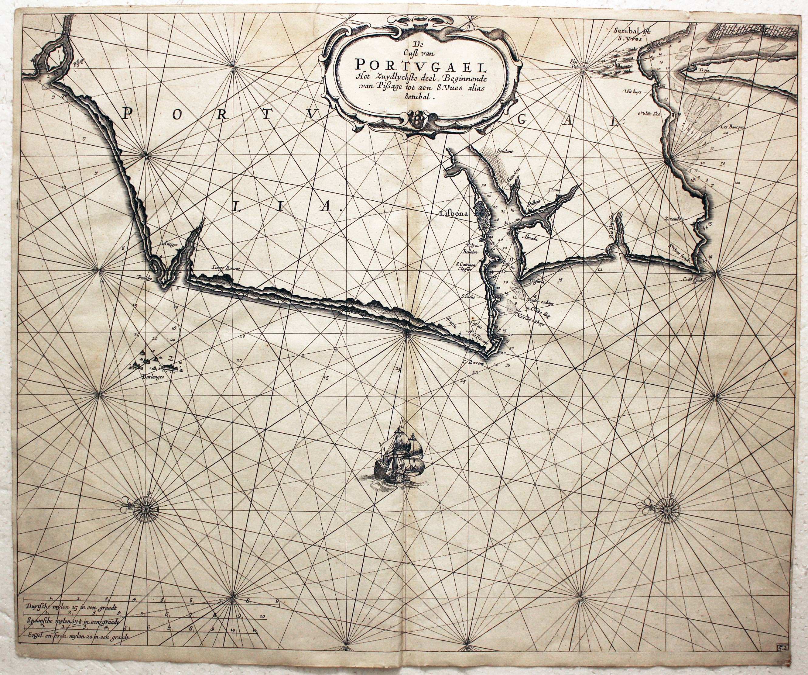
Coast of Portugal, Jacobsz Family, 1676
31752 Porto Chart, Jacobsz Family, 1676. Price: 220.00
CUST VAN PORTUGAL T’NOORDELYCKSTE DEEL BEGINNENDE VAN VIANA TOT AEN PISSAGE
An interesing 17th century chart showing part of the coast of Portugal, orientated with east at the top. Includes Porto with Vila do Conde to the north and Aveiro to the south. Decorative title and scale cartouches. Ship, two compass roses and rhumb lines. Uncoloured. 20 x 16 inches. Small slit at the top of the centre fold. Few nicks on edges of blank margins, otherwise good condition.
Early 18th Century
-
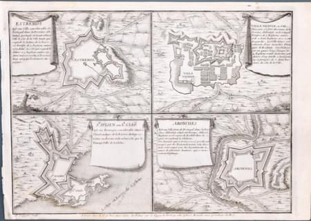
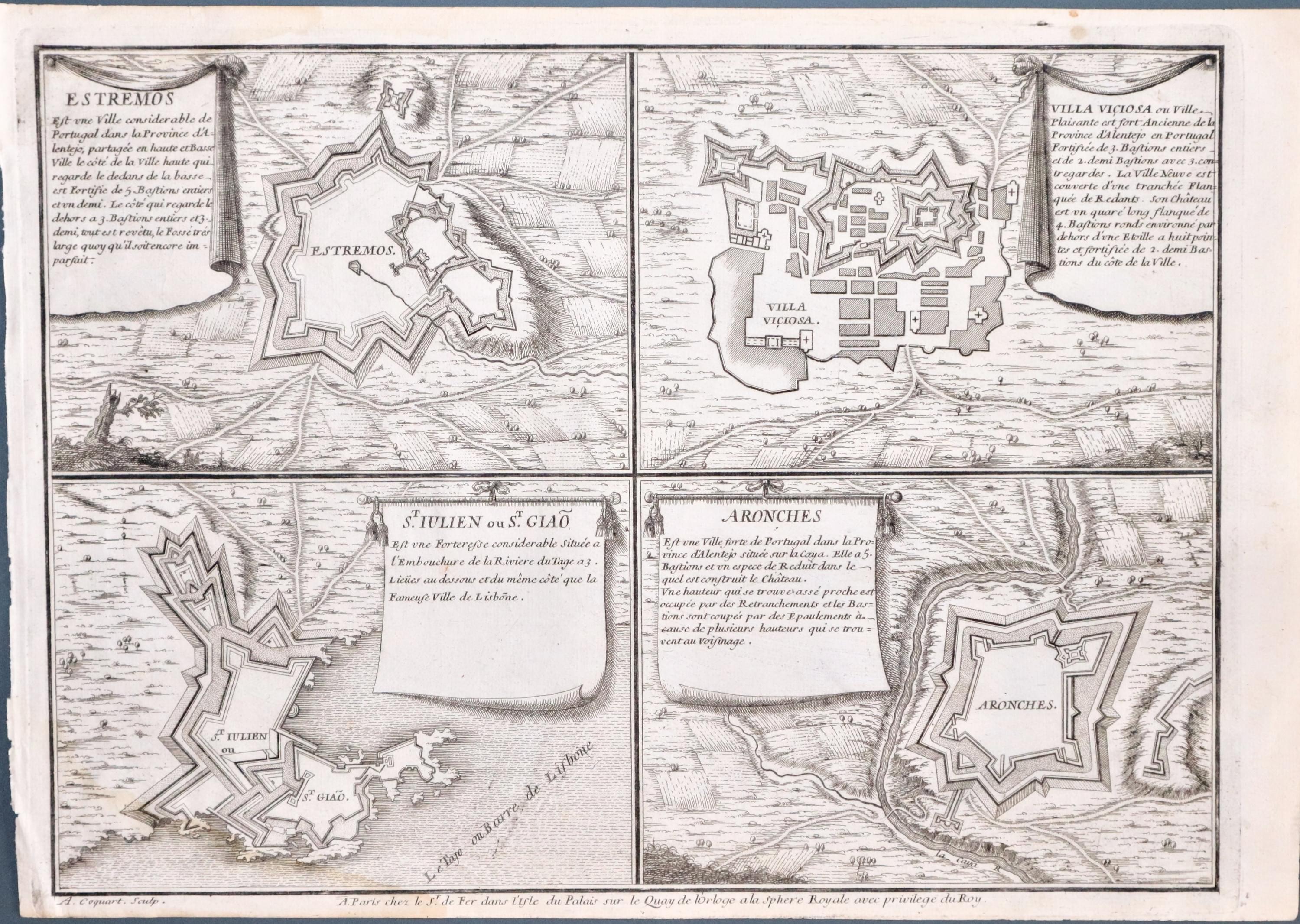
Extremos, Villa Viciosas, St. Julian and Aronches, Portugal by Nicolas de Fer 1705
Four Fortification Maps, Nicolas de For, 1705. Price: 49.00
ESTREMOS / VILLA VICIOSAS / ST. JULIAN OU ST. GIAO / ARONCHES
An interesting engraved plan of the arrangement of a Salt Marsh embellished with a decorative title cartouche, figures and ships. 7 1/2 x 6 inches. Uncoloured. Large blank margins. Very light water stain in bottom left hand corner which can only be really seen on verso. Good condition.
From: Atlas Curieux
17th Century
-

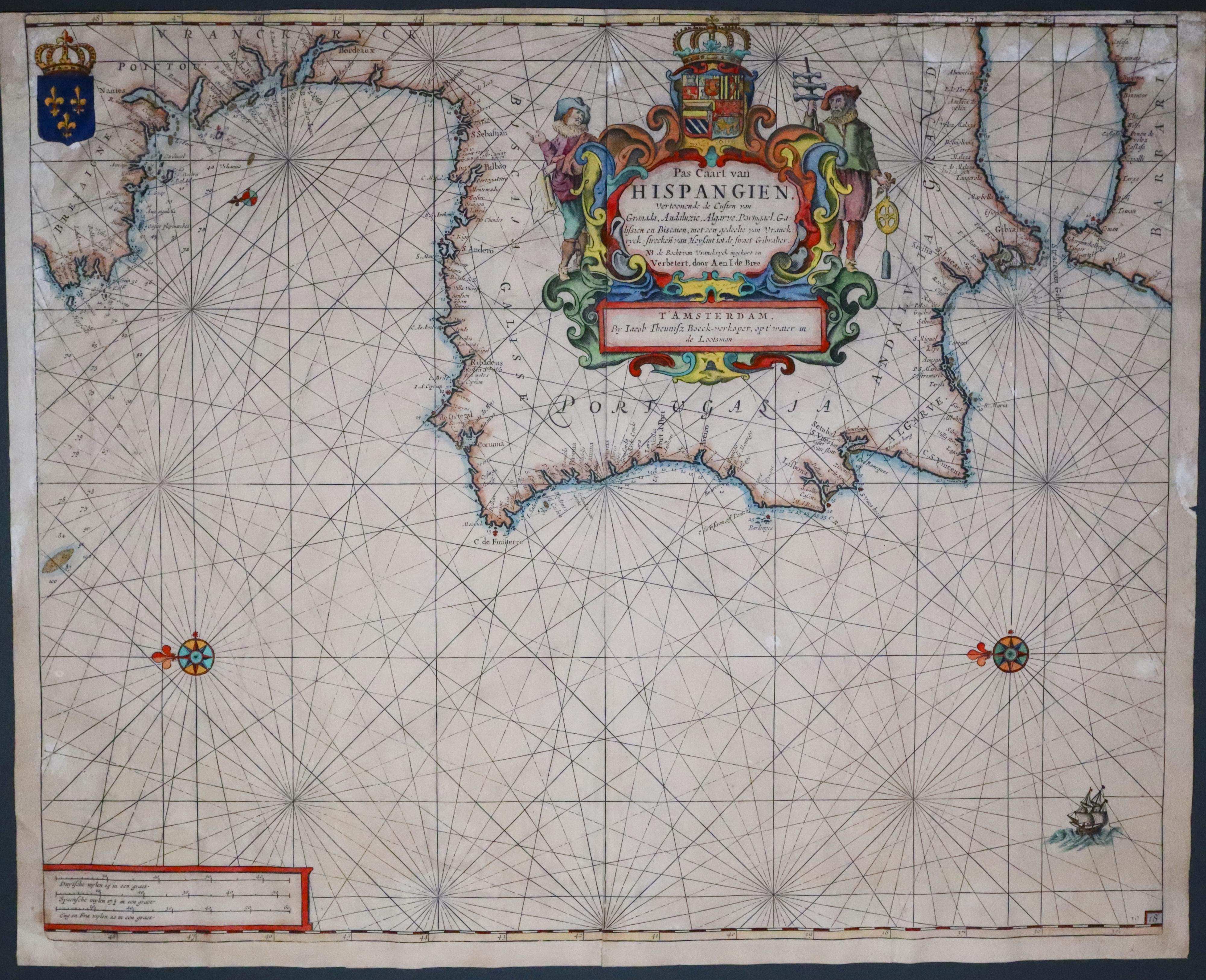
Coast of Portugal, Jacobz Theunitsz, c.1660
33639 Coast of Portugal, Jacobz Theunitsz, c.1660. Price: 140.00
PAS CAART VAN HISPANGIEN VERTOONEN DE CUSTEN VAN GRANADA, ANDALUZIE, ALGARVE, PORTUGAE, GALISSIEN EN BISCAIEN....
A most interesting 17th century chart orientated with east at the top. It includes the coast from Bretagne in France to the Straits of Gibraltar and part of the Barbary coast. There is a speldid title cartouche with two figures and coat of arms. The panel shows the name Jacobz Theunitsz with the name of Lootsman which the brothers used to distinguish themselves from others with the same name. Three compass roses and a sailing ship. The plate is numbered 18. Original centre fold. 20 1/2 x 16 3/4 inches. Later hand colouring. Small top blank margin, small nick on the edge of the right hand blank margin. Printed on thick paper which is a bit wrinkly.
