Antique Maps of Asia
Richard Nicholson of Chester
A World of Antique Maps and Prints
Established in 1961
All the Maps on this page are guaranteed to be genuine early specimens
pubished in or around the year stated
ASIA
Early 19th Century Antique Map of Ancient Asia
-
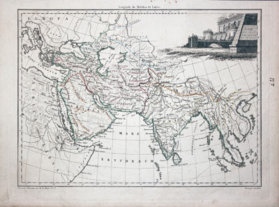
Ancient Asia Conrad Malte-Brun 1812
24897 Ancient Asia, Conrad Malte-Brun, 1812. Price: 37.00
ASIA ANCIENNE
An engraved map of Asia in ancient times. Empellished with an uncoloured title cartouche. 11 3/4 x 8 1/2 inches. Original early outline hand colouring. Manuscript figure N 7 in blank margin. Good condition.
From: Atlas Complete du Précis de la Géographie Universelle
Early 19th Century Hand Coloured Map of the Continent
xxx
-
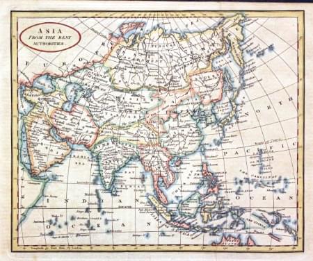
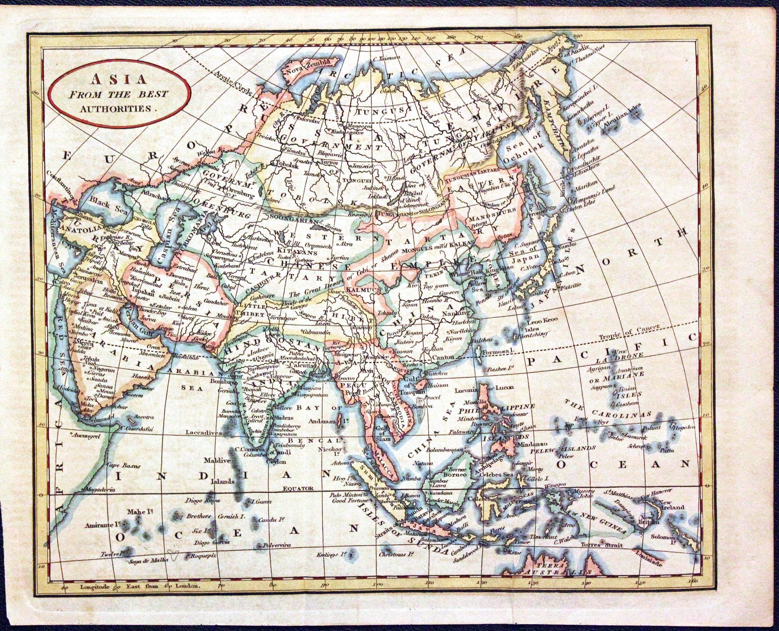
Asia, Richard Brooks, 1820
24988 Asia, Richard Brooks, 1820. Price: 35.00
ASIA FROM THE BEST AUTHORITIES An engraved map of the continent with an oval title panel. 9 1/4 x 7 3/4 inches. Hand coloured. Good condition.
Antique Map of Ancient Asia with Early Hand Colouring
-
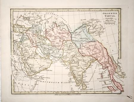
Part of Ancient Asia, Robert Wilkinson, 1815
25948 Part of Ancient Asia, Robert Wilkinson, 1815. Price: 48.00
ORIENTIS TABULA
An engraved map of the region in ancient times. 11 x 8 1/2 inches. Original outline and wash hand colouring. Publisher’s imprint dated 1807. Good condition.
From: Atlas Classica
Early 19th Century Map of Asia
-
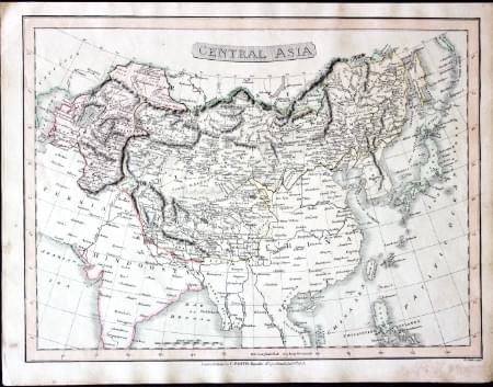
Central Asia, Charles Smith, 1808
26498 Central Asia, Charles Smith, 1808. Price: 42.00
CENTRAL ASIA
An engraved map of the region with title panel. Publisher’s imprint beneath dated 1808. 13 3/4 x 10 1/4 inches. Original outline and wash hand colouring. Good condition.
From: Smith's New General Atlas
Early 17th Century Miniature Map of Asia
-

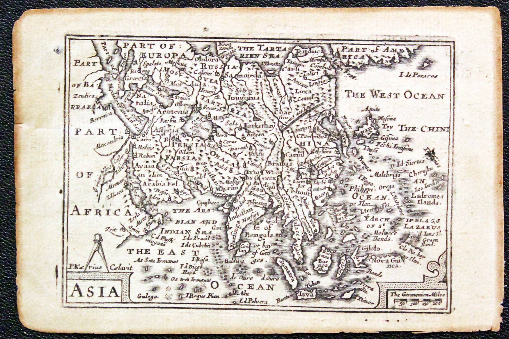
Asia, Pieter van den Keere, c.1646
29765 Asia, Pieter van den Keere, c.1646. Price: 110.00
ASIA
A miniature engraved map of the continent. Title and scale cartouches. Part of a description of the World in English on verso. 4 3/4 x 3 1/4 inches. Uncoloured. Lightly toned. Good condition.
From: A Prospect of the Most Famous Parts of the World
19th Century Map of Asia by Cruchley
-
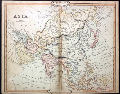
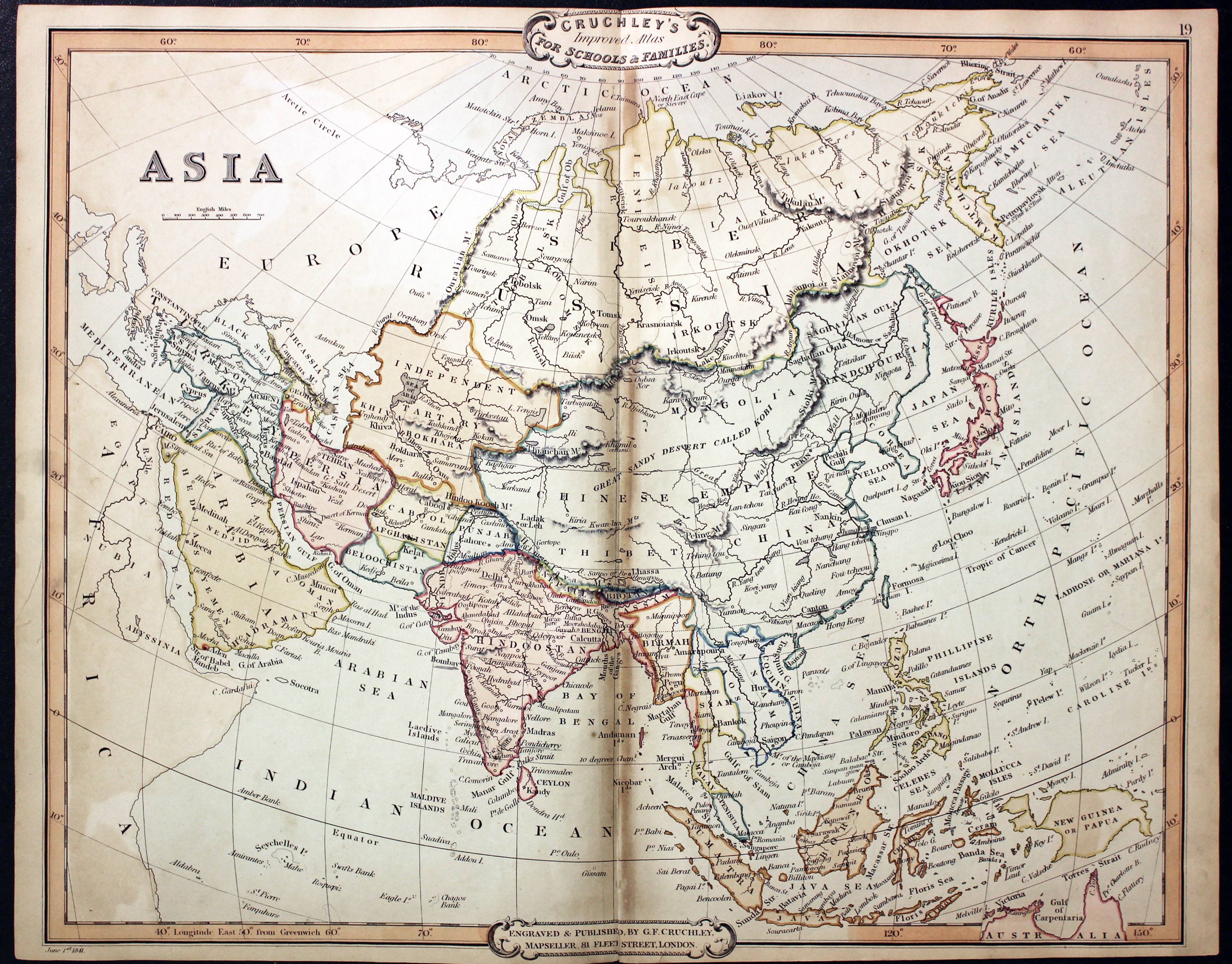
Asia, George Frederick Cruchley, 1848
31526 Asia, George Frederick Cruchley, 1848. Price: 50.00
ASIA
A clearly engraved map of the continent bearing the imprint June 1st 1841. Publishers rococo cartouche inscribed Cruchley’s Improved Atlas, for Schools & Families. 17 1/4 x 13 3/4 inches. Original outline and wash hand colouring. Small slit at the bottom of the centre fold and a little browning in the fold.
From: Cruchley’s General Atlas for the use of Schools and Private Tuition
TARTARY
18th Century French map of Tartary
-

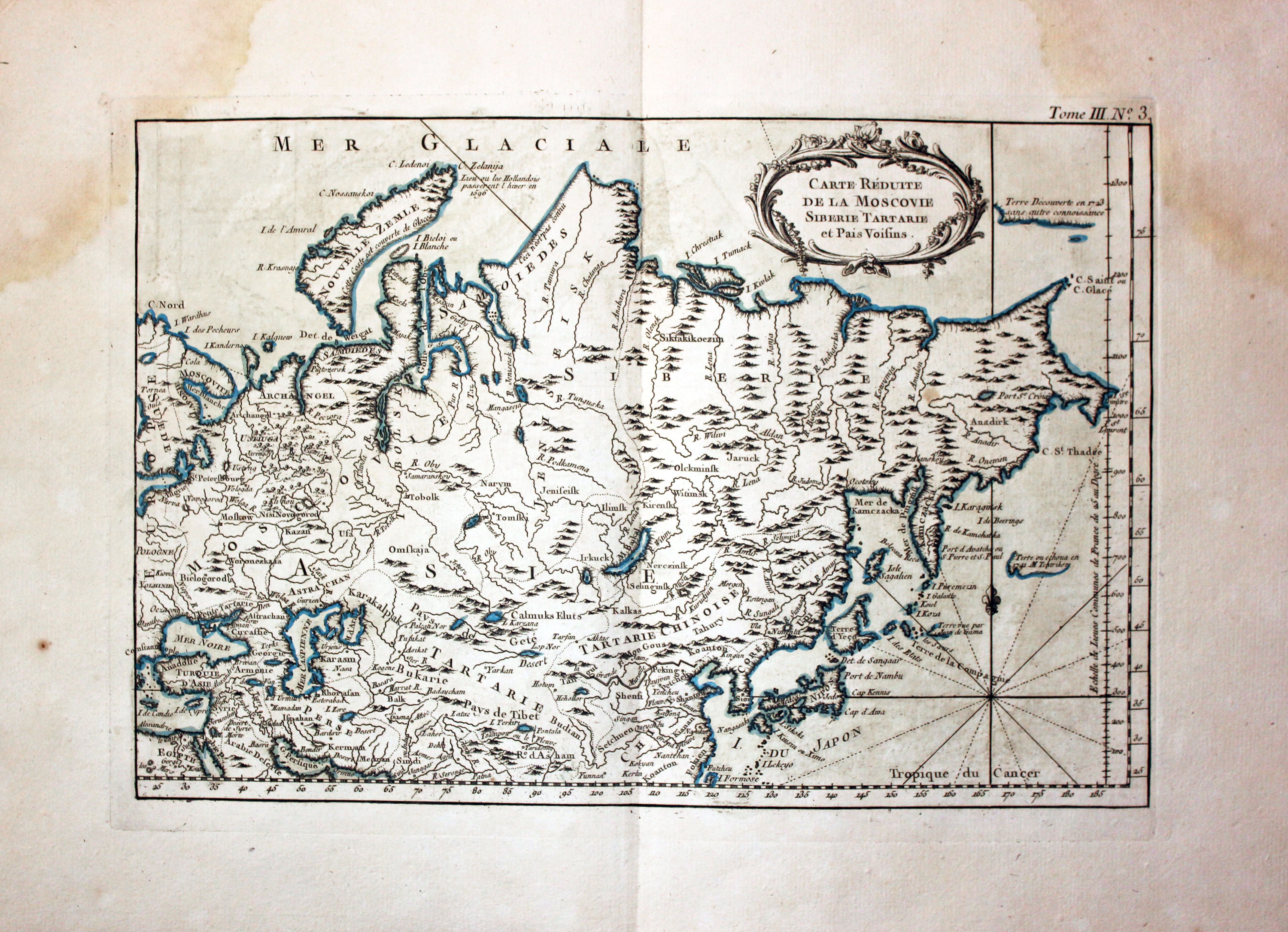
Siberia and Tartary, J. N. Bellin 1764
32178 Siberia and Tartary, Jacques Nicolas Bellis, 1764. Price: 80.00
CARTE DEDUITE DE LA MOSCOVIE SIBERIE TARTARIA ET PAIS VOISINS. An engraved map of Russia extending from the Wite and Caaspian Seas in the west to the norther coast with Novaya Zemla. To the east the coast with the Pacific Ocean with Japan. 13 x 8 3/4 inches. Original blue outline and wash hand colouring. Some light water staining in the top left and right hand corners. Otherwise good clean undamaged condition. Straight from the atlas and not previously sold as a single map.
Map number 3 from Volume 3 of Le Petit Atlas Maritime
John Speed's 17th Century Map of Tartary
-

Map of Tartary by John Speed c.1646
32848 Tartary, John Speed, 1650. Price: 1200.00
A NEW MAP OF TARTARY
A fine engraved 17th century map of the country. The title cartouche bears the name of John Speed and the name of the publisher George Humble 1626. Across the top of the map is a blank coat of arms and four inset town views of cities on the silk route, Astrakan, Samakarand and Cambalu as well as another of Nova Zembla with bear hunters. Down the to sides is a total of eight illustrations of costumed figures. The Great Wall of China is shown. Korea depicted as an island. Description in English on verso. Scale surmounted by a blank cartouche. Uncoloured. 19 3/4x 15 1/2 inches. Good clean crisp condition. Good blank margins.
A nice specimen of this map which has been taken straight from the atlas and not sold previously as a single map.
From: Prospect of the Most Famous Parts of the World
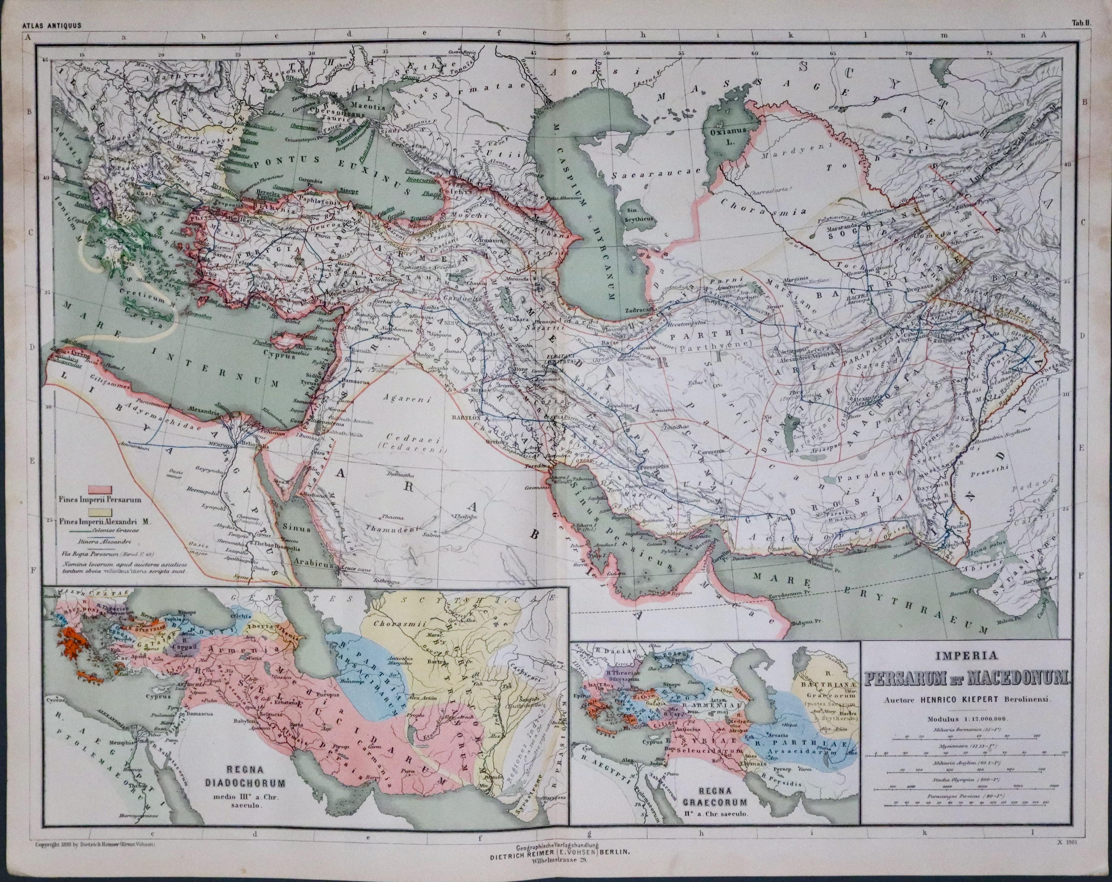
Mersia and Macedonia in Ancient Times
-
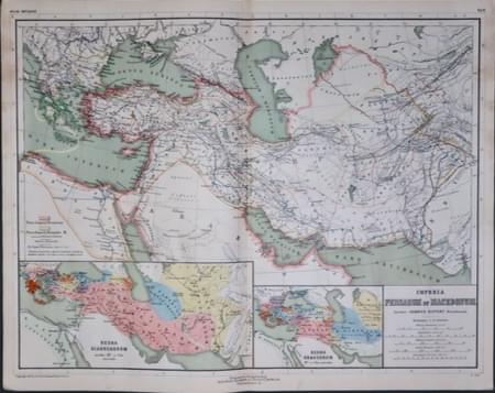
Central Asia in Ancient Times, Dr. Henry Kiepert c.1902
33442 Central Asia, Dr. Henry Kiepert, c.1902. Price: 14.50
IMPERIA PERSARUM ET MACEDONUM
A lithograph map the region in ancient times. Three inset maps. 17 1/4 x 13 1/2 inches. Original centre fold. Good condition. From: Atlas Antiquus published in Berlin
17th Century - Miniature
-

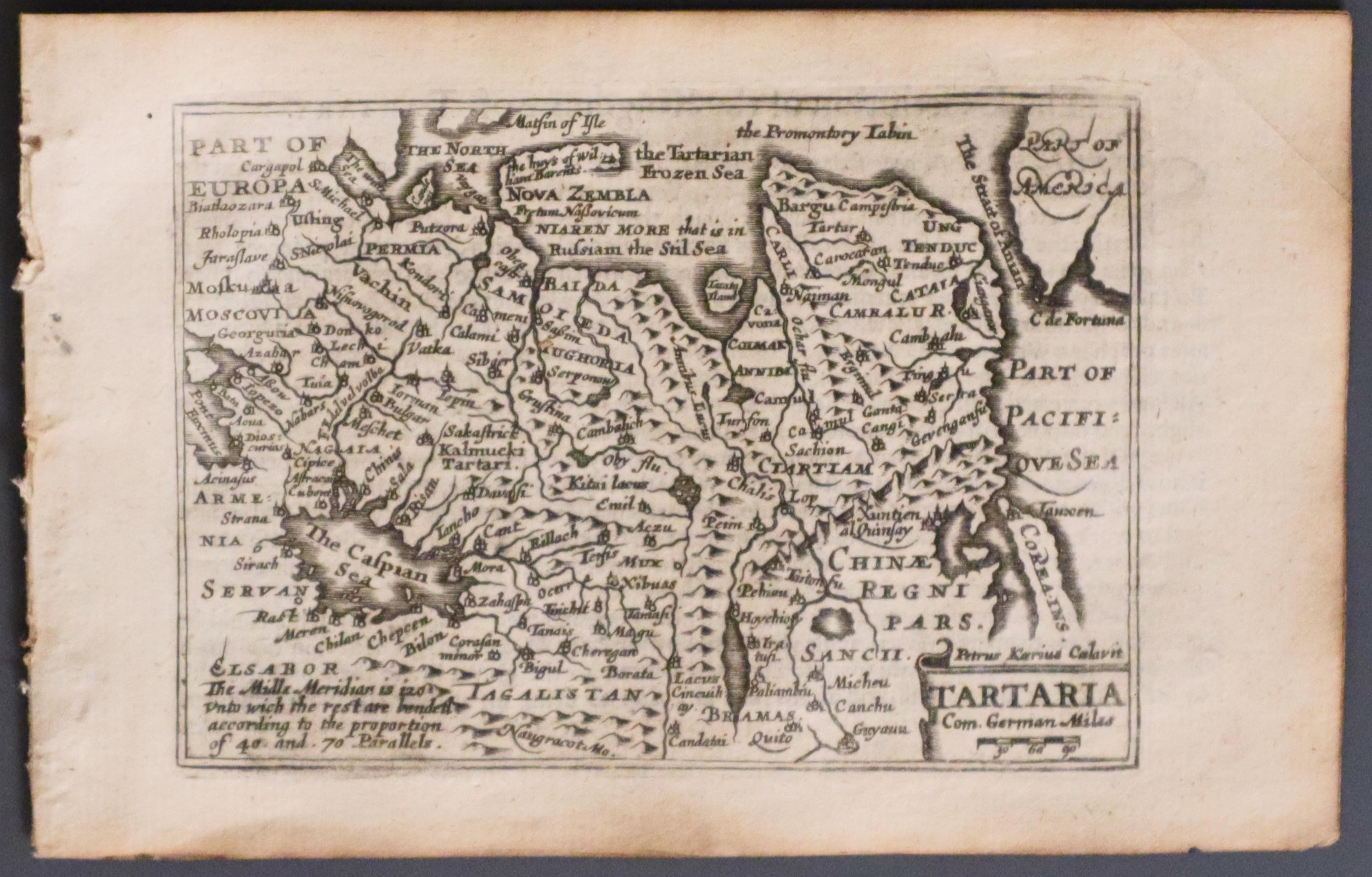
Tartary, Pieter van den Keere, 1668
22172 Tartary, Pieter van den Keere, 1668. Price: 85.00
TARTARIA
A miniature engraved map with banner cartouche showing the title and scale. 4 3/4 x 3 1/4 inches. Uncoloured. Part of a description in English of Tartary on verso. With this map are the four double sided pages of descriptive text carying on from the text on verso of the map. Good condition. This map has just been taken from the atlas and therefore not previously sold as a single map.
From: A Prospect of the Most Famous Parts of the World published by Roger Rea.

