Antique Maps of Sri Lanka
Richard Nicholson of Chester
A World of Antique Maps and Prints
Established in 1961
All the Maps on this page are guaranteed to be genuine early specimens
published in or around the year stated
17th Century
-

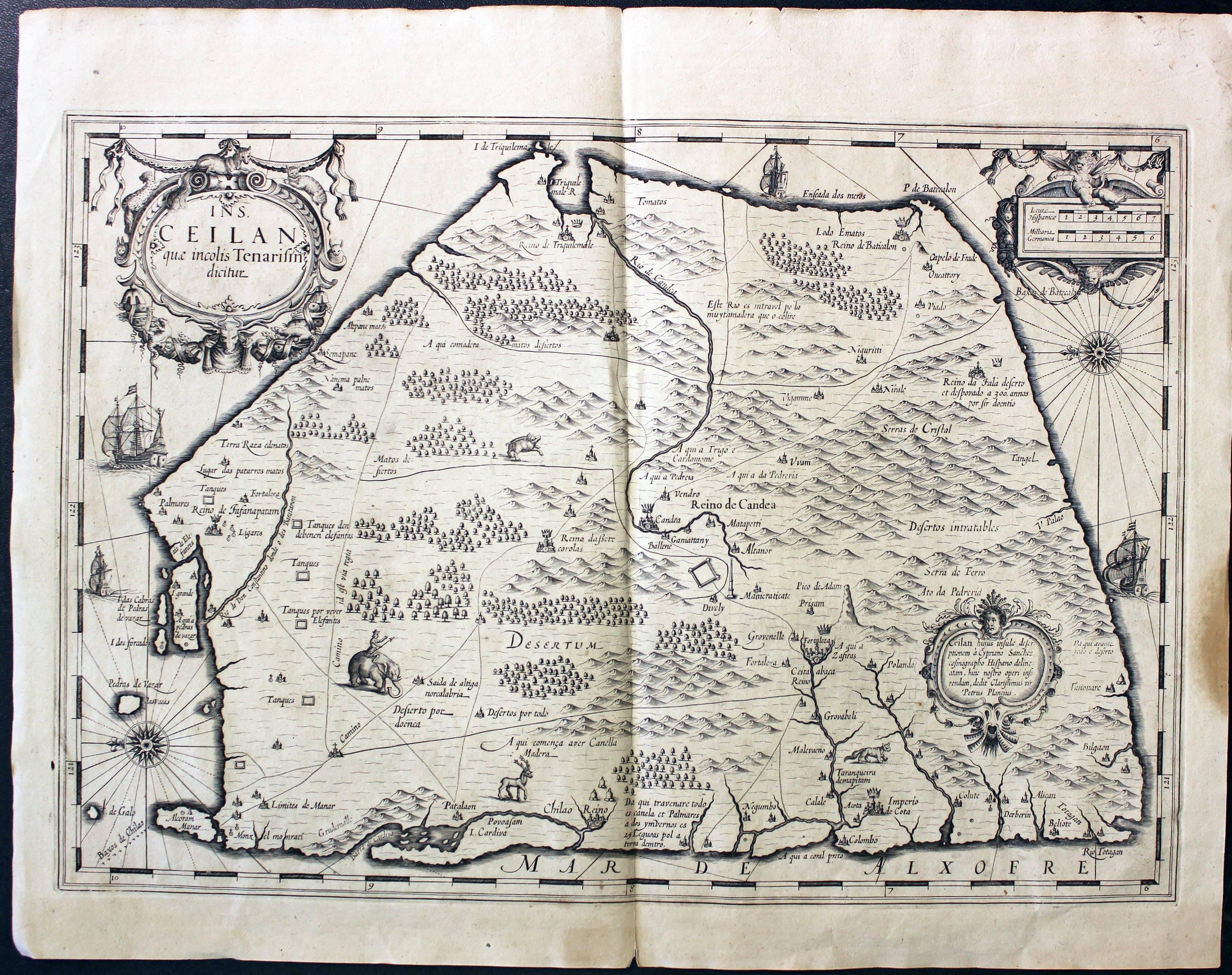
Ceylon, G. Mercator and H. Hondius, c.1640
23374 Ceylon, G. Mercator / H. Hondius, c.1640. Price: 295.00
INS. CEILAN QUAE INCOLIS TENARISIN DICTUR
An early engraved map of the the country orientated with east at the top. Embellished with three decorative cartouches. Animals on the land area. Two compass roses and four ships on the sea. 19 1/4 x 13 1/2 inches. Uncoloured. Brown stain in the right hand blank margin, otherwise good clean condition.
18th Century
33390 Trincomalee Bay, Jacques Nicolas Bellin, c.1755. Price: 38.00
CARTE DE LA BAYE DE TRINQUEMALE
A chart engraved by Jacob van der Schley (1715-1779) for Jacques Nicolas Bellin of the Bay of Trincomalee on the north east coast of Sri Lanka. Comass rose and and five sailing ships. 14 x 10 1/4 inches. This map is folded in the atlas so shows shows folding creases. Some light creasing. Hand coloured. Good condition.


