Antique Maps of America
Richard Nicholson of Chester
A World of Antique Maps and Prints
Established in 1961
All the Maps on this page are guaranteed to be genuine early specimens
published in or around the year stated
Photo by Tom Podmore on Unsplash
AMERICA
Detailed Old Map of the Whole of America
-
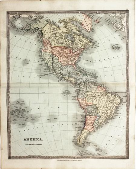
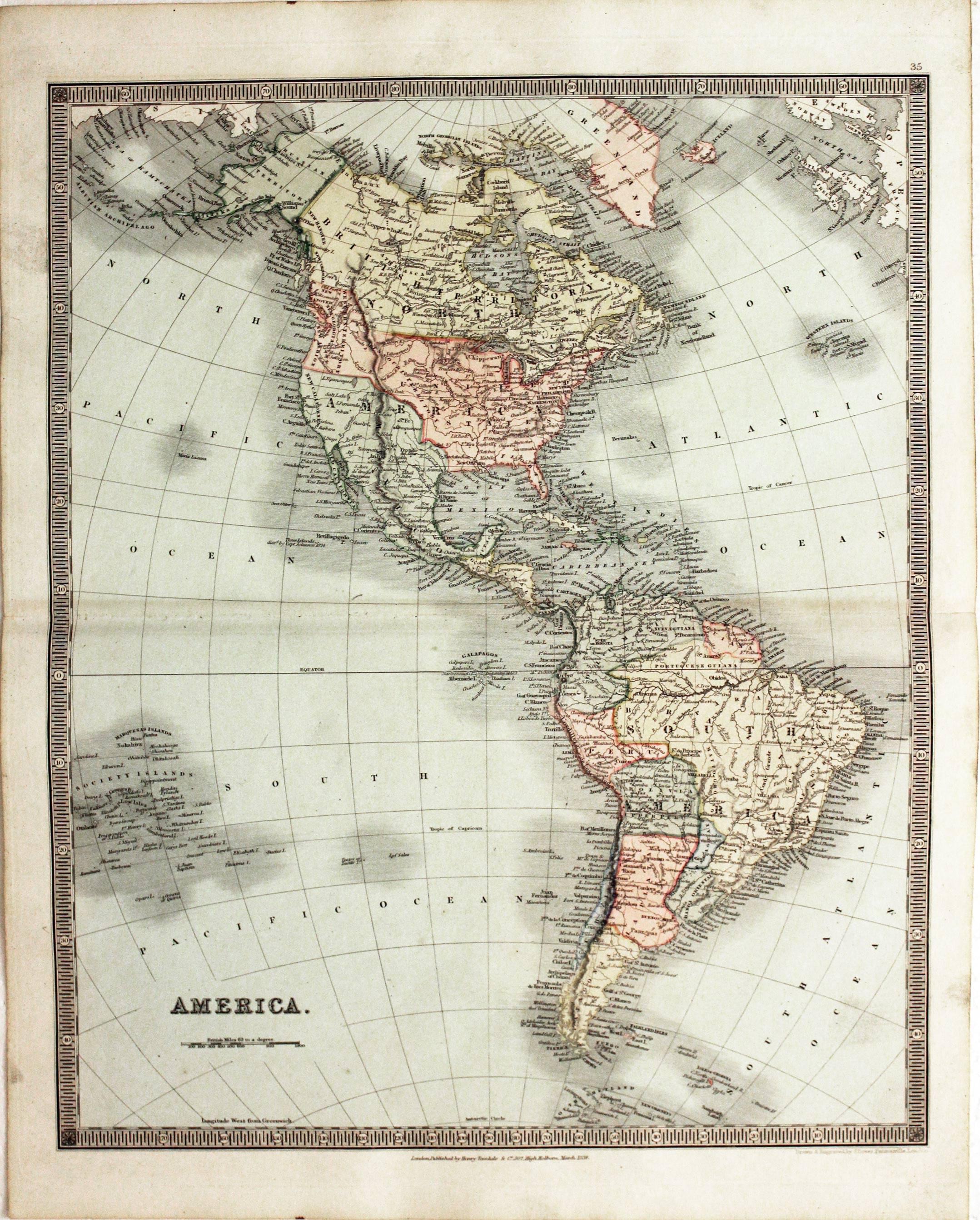
America, John Dower, 1834
25647 America, John Dower, 1834. Price: 68.00
AMERICA
An engraved map within a simple patterned border.16 x 13 inches. Original outline and wash hand colouring. Fine condition.Paper watermarked J. Whatman 1834. Imprint of the publisher Henry Teesdale dated 1834 at 302 High Holborn, London.
From: A New General Atlas of the World
Map of America by Guillaume de L'Isle - 18th Century
-
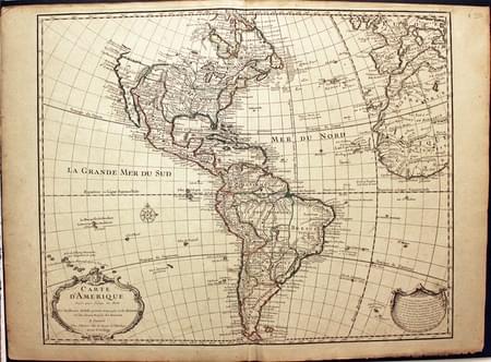
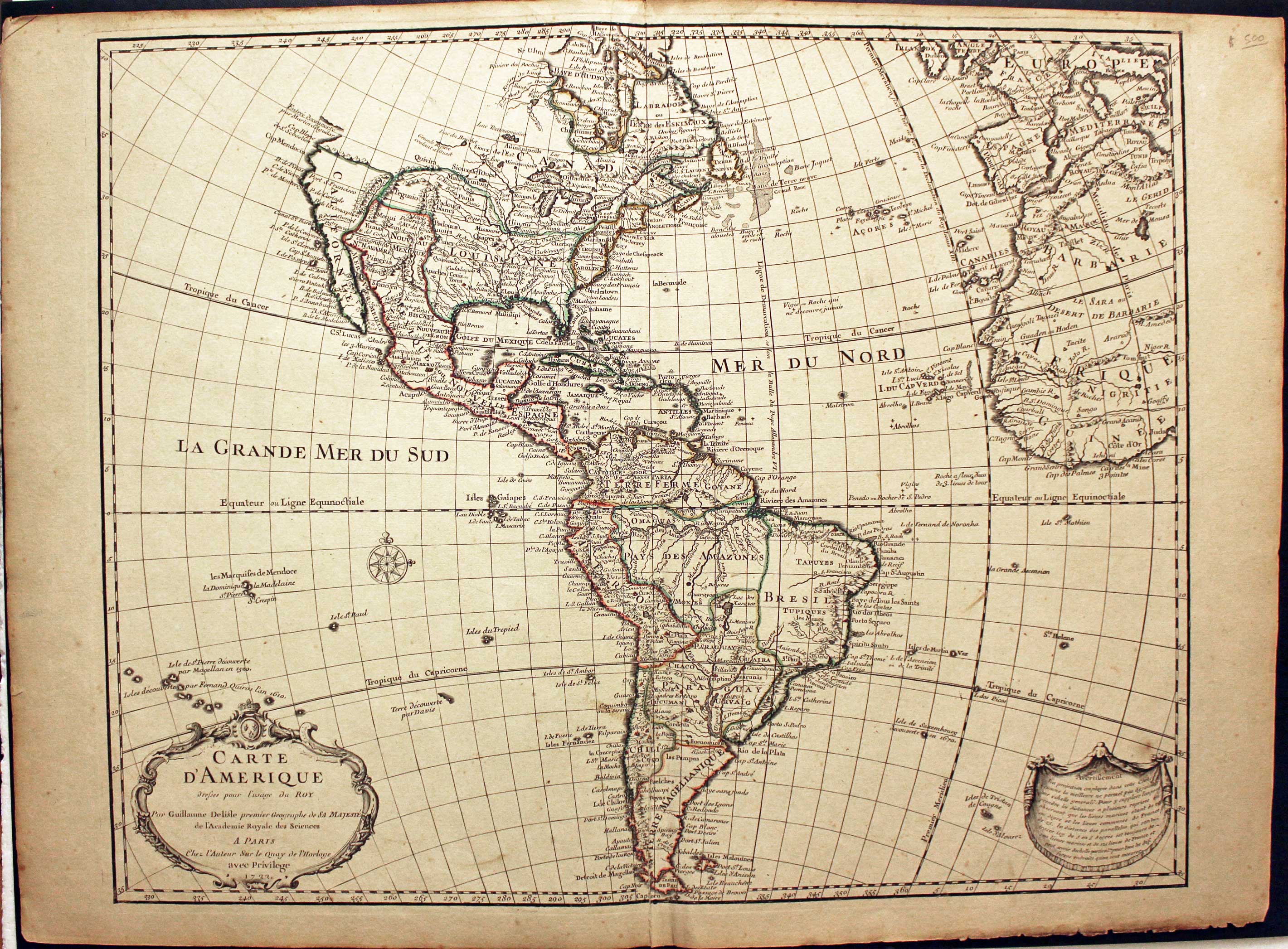
America, Guillaume de L'Isle, c.1726
25240 America, Guillaume de L'Isle, c.1726. Price: 490.00
CARTE D’AMERIQUE.... 1722
An engraved map of America embellished with two decorative uncoloured cartouches. The title cartouche bears the date of 1722. 24 x 19 inches. Early outline hand colouring. Split at the bottom of the centre fold repaired otherwise good condition.
19th Century - Early Hand Colouring
-
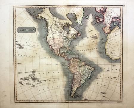
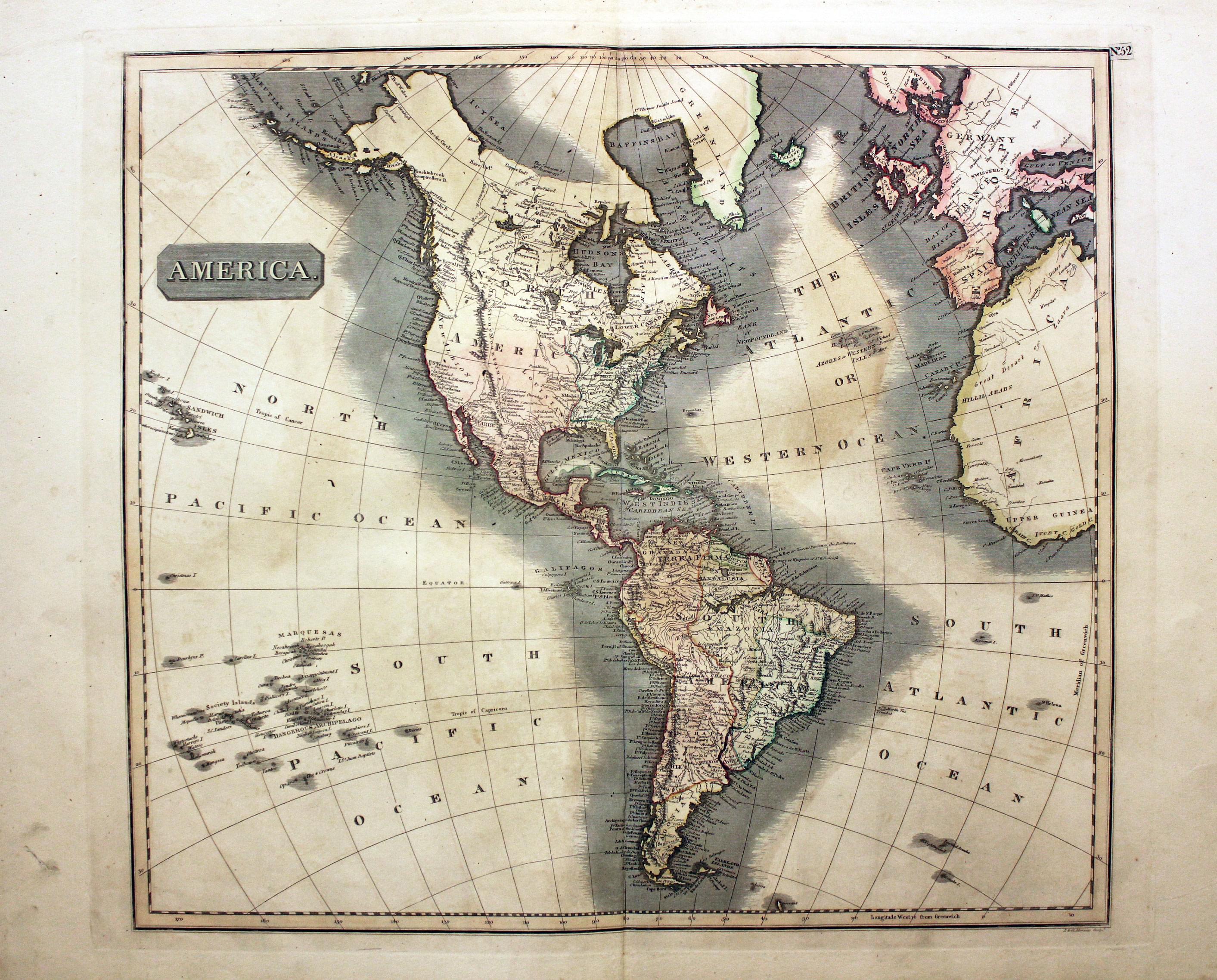
America, John Thomson, 1828
27698 America, John Thomson, 1828. Price: 135.00
AMERICA
A good engraved map of the whole continent. Title panel. 20 1/4 x 18 inches. Original outline hand colouring. Wide blank margins. Small tear in the left hand margin and some light soiling well away from the engraved area. Otherwise good condition.
From: A New General Atlas
NORTH AMERICA
Old Map of New York Harbour
-

New York, John Bartholomew, c.1895
30387 New York, John Bartholomew, c.1895. Price: 20.00
NEW YORK HARBOUR AND VICINITY
A colour printed map. Published by A. Fullarton & Co. London & Edinburgh. 5 1/4 x 9 1/4 inches. Good clean condition.
19th Century
-
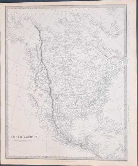
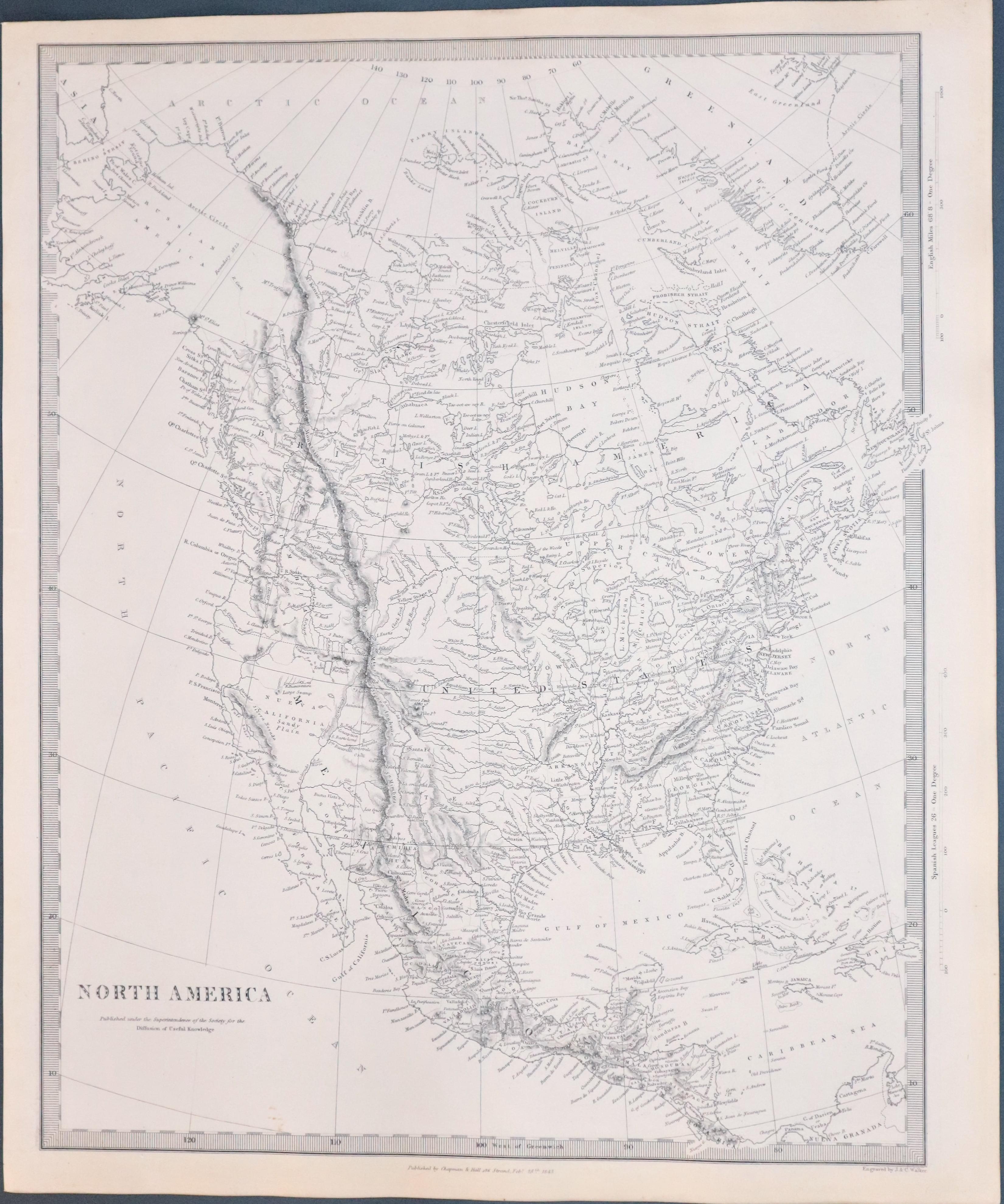
Map of North America by S.D.U.K. 1844
33400 North America, S.D.U.K. 1844. Price: 85.00
NORTH AMERICA
An engraved map by J. & C. Walker of the whole of North America. Published by Chapman & Hall and sated 1843. 12 x 15 inches. Uncoloured. Plain on verso. Good condition. This map has been taken from the atlas and therefore not previously sold as a single net.
Published by Society for Diffusion of Useful Knowledge
